







Maiskogel - Bachler Trail
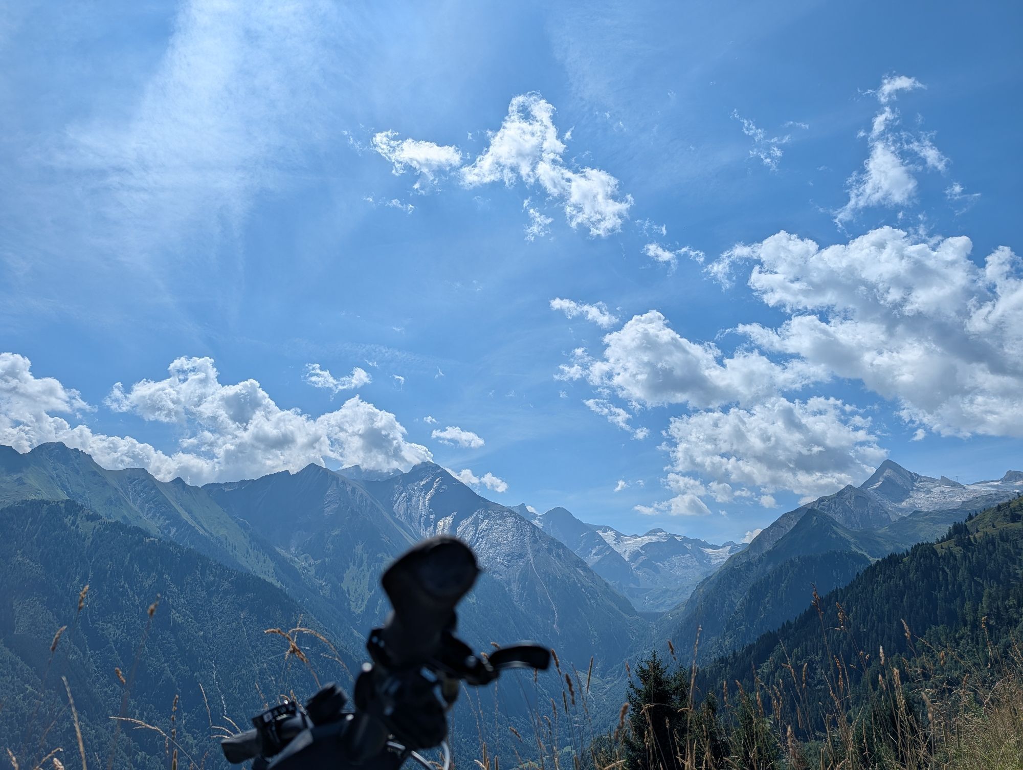
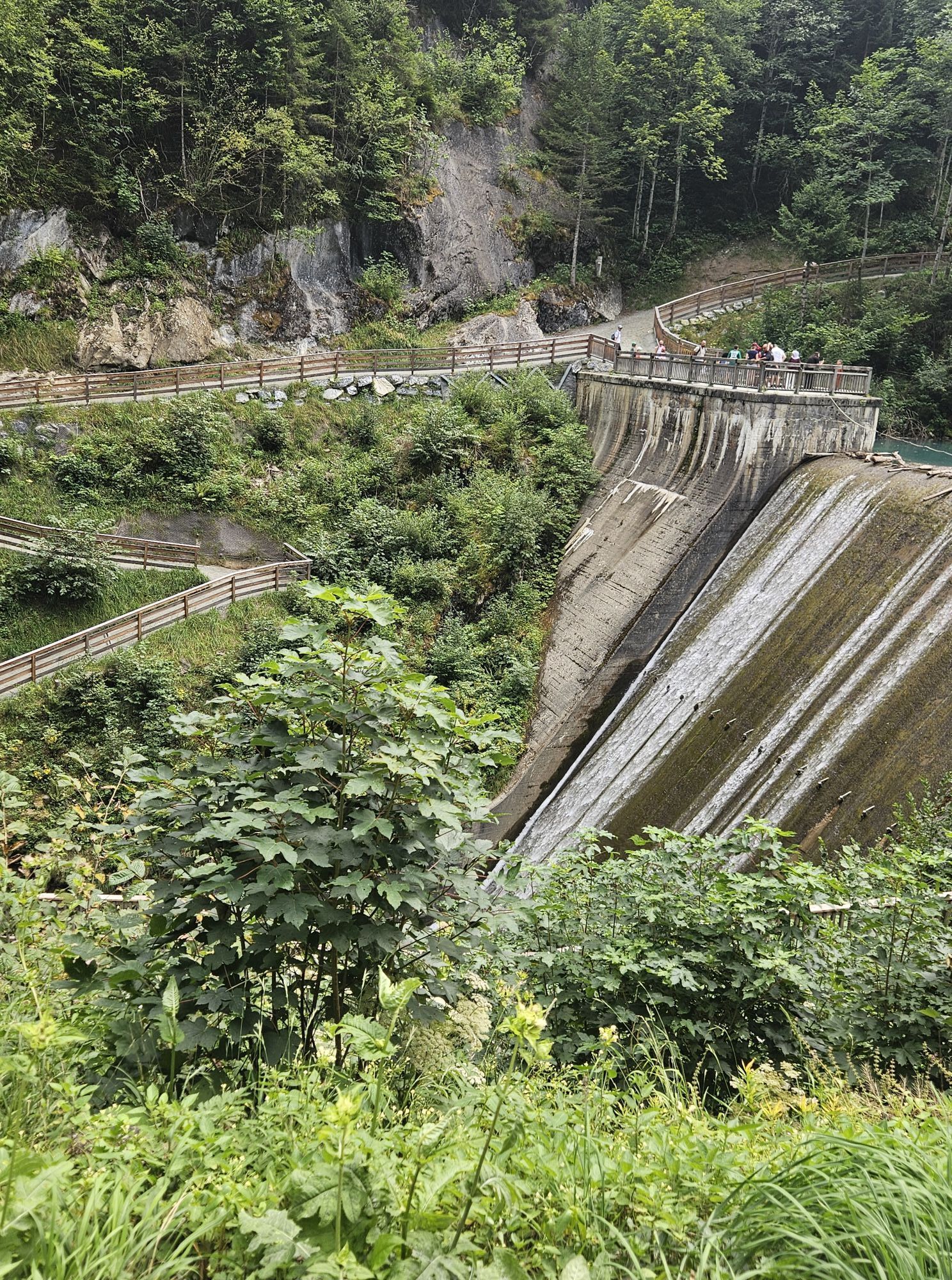
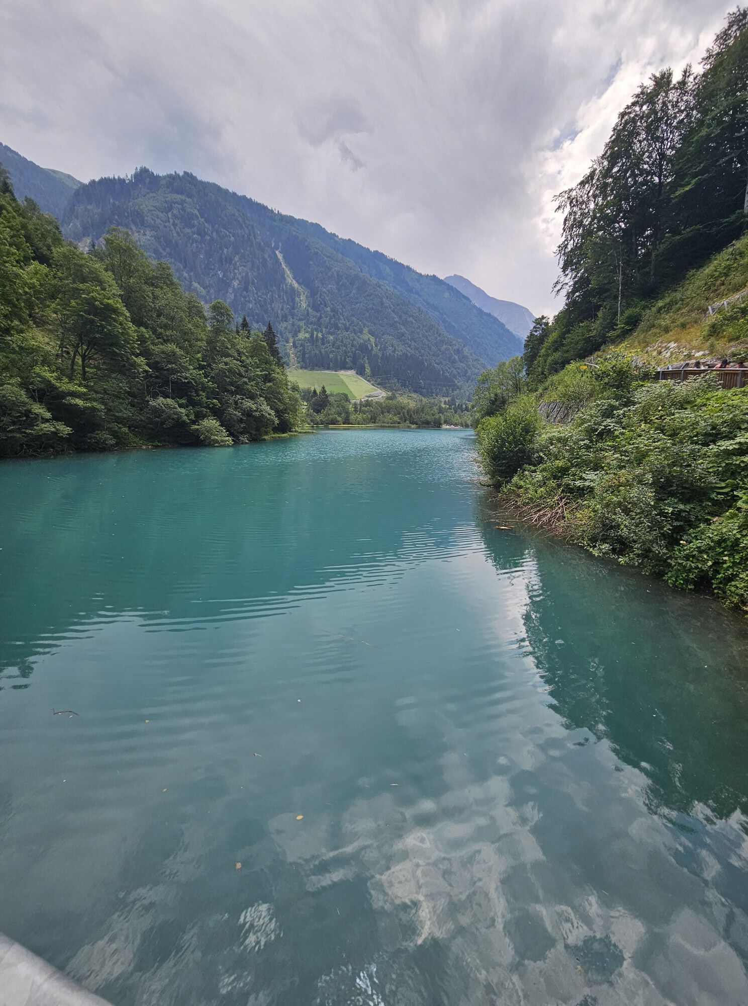
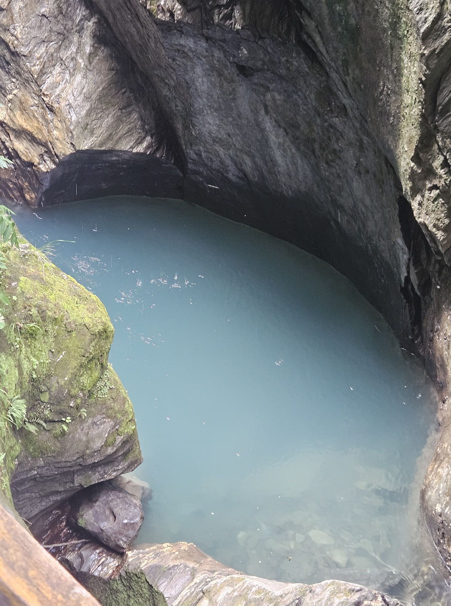
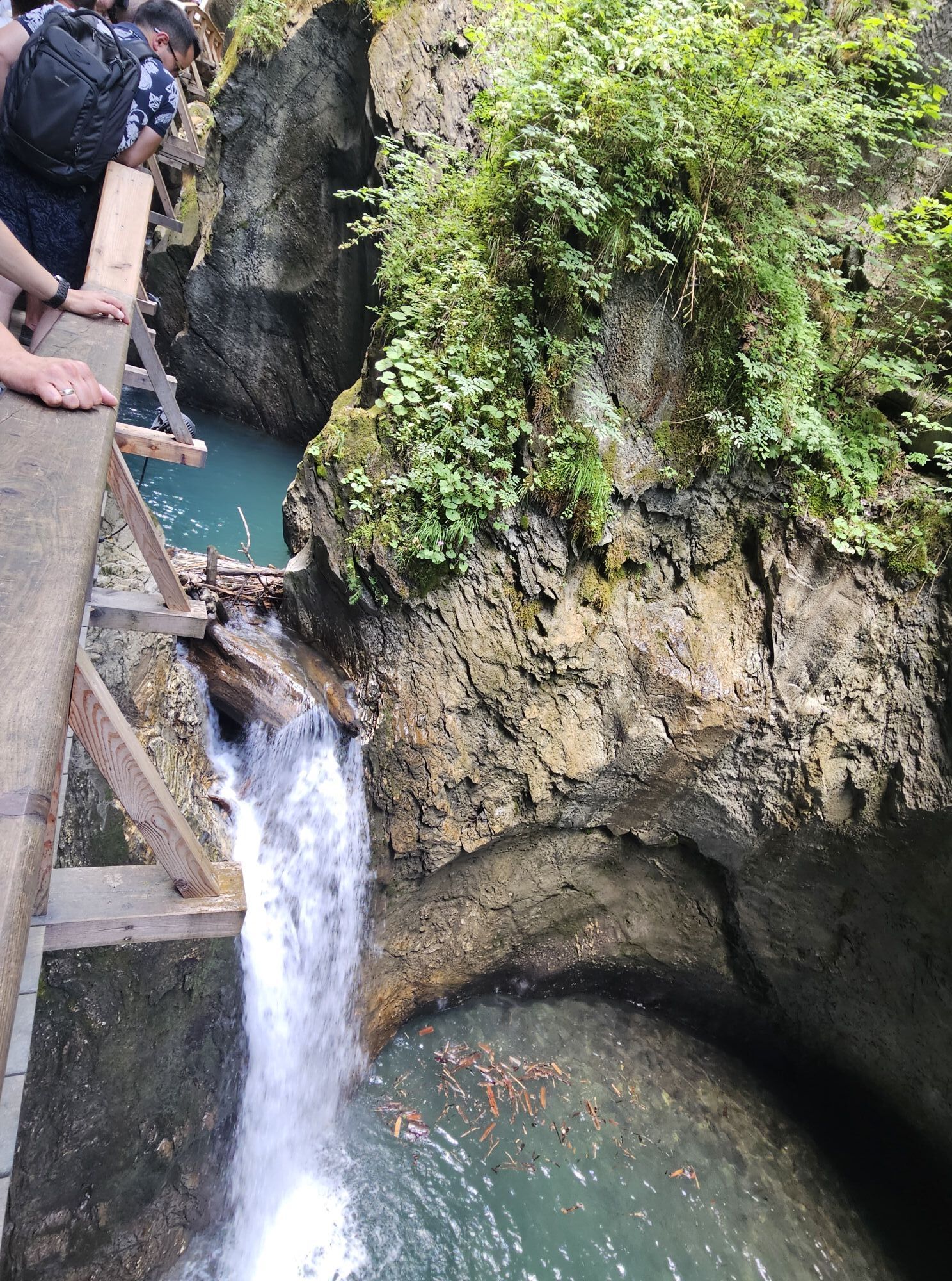

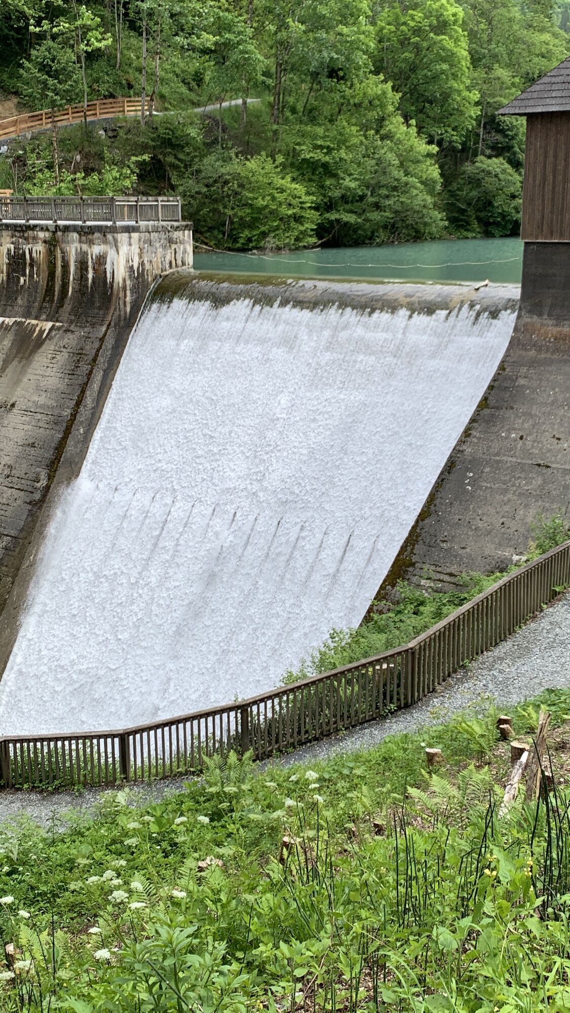
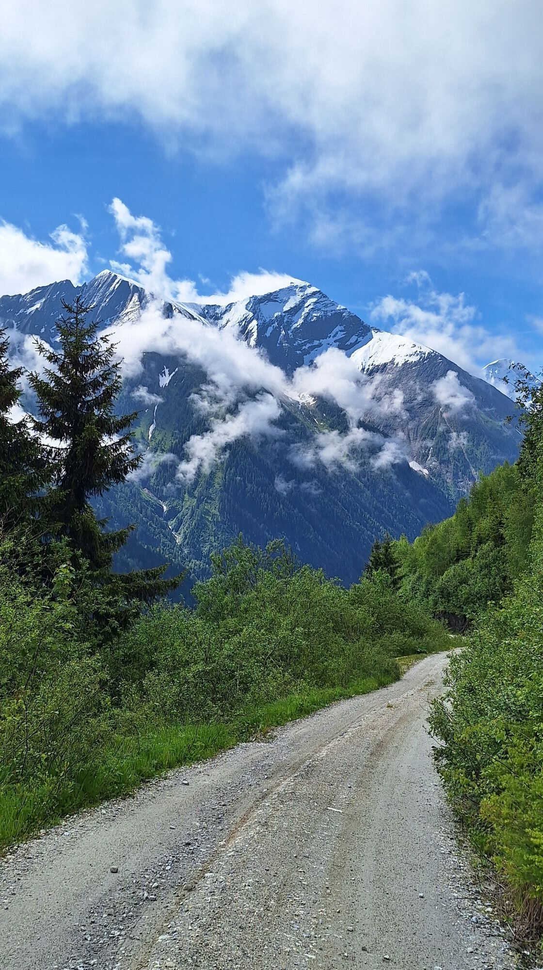

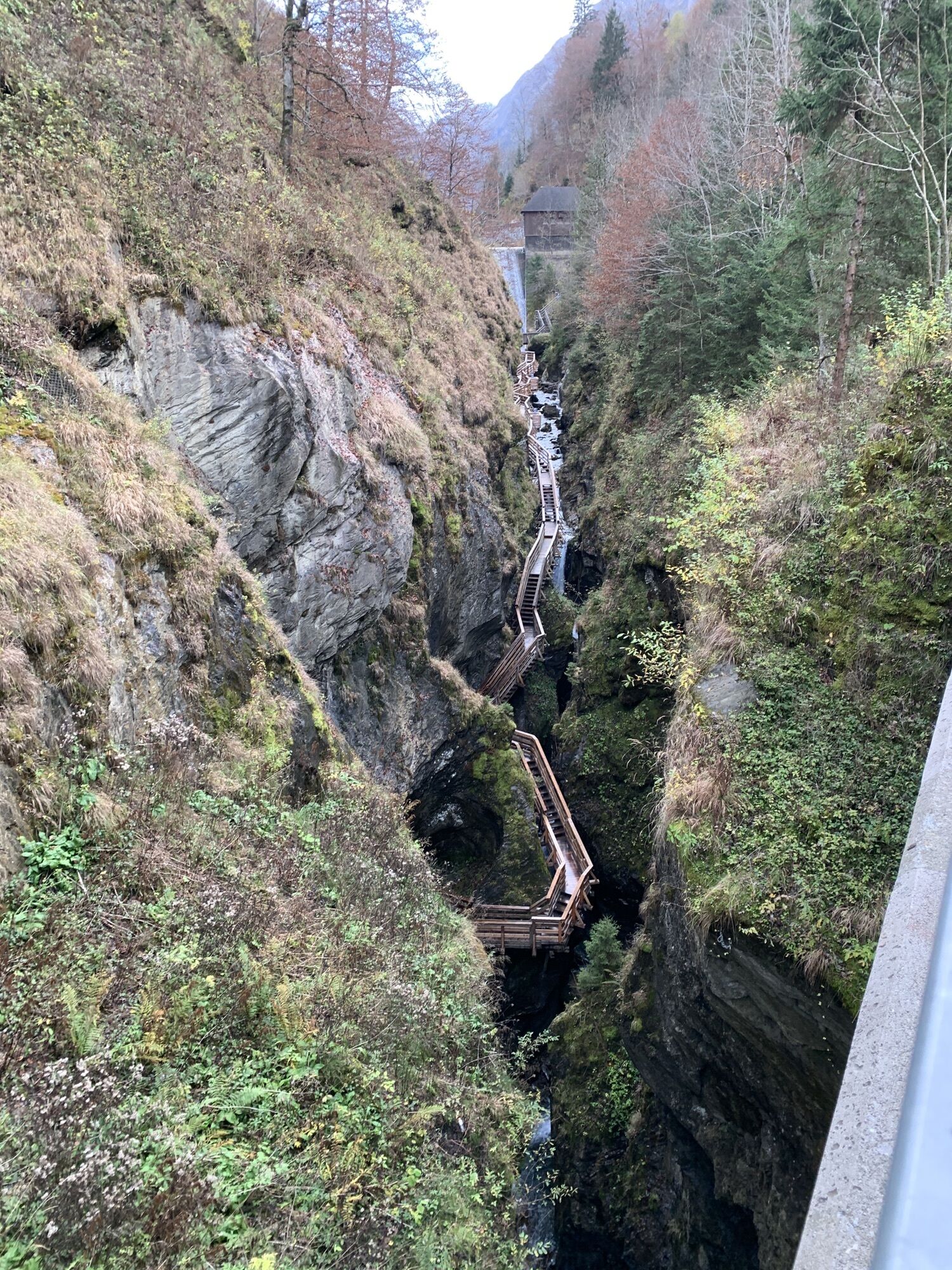
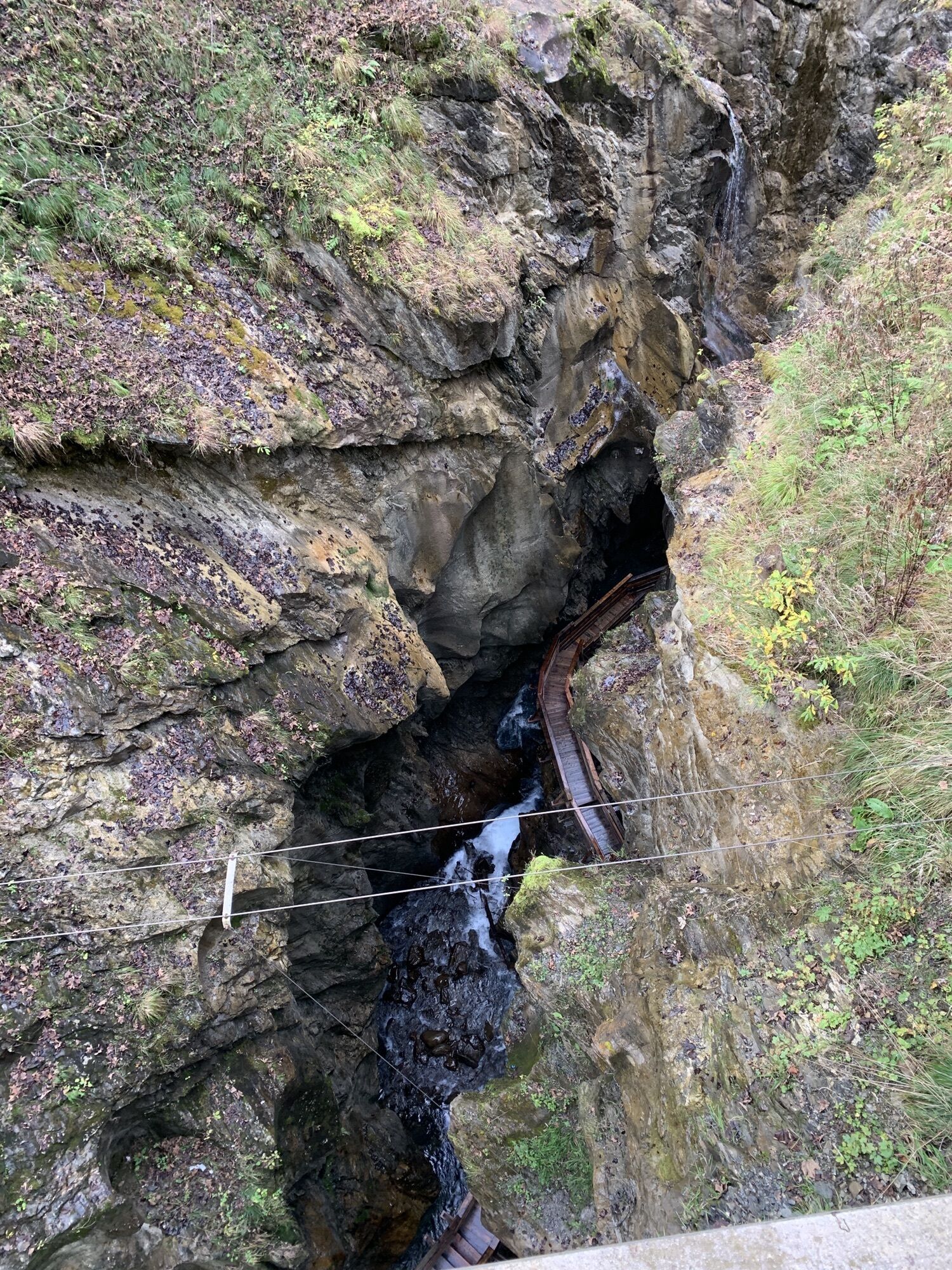
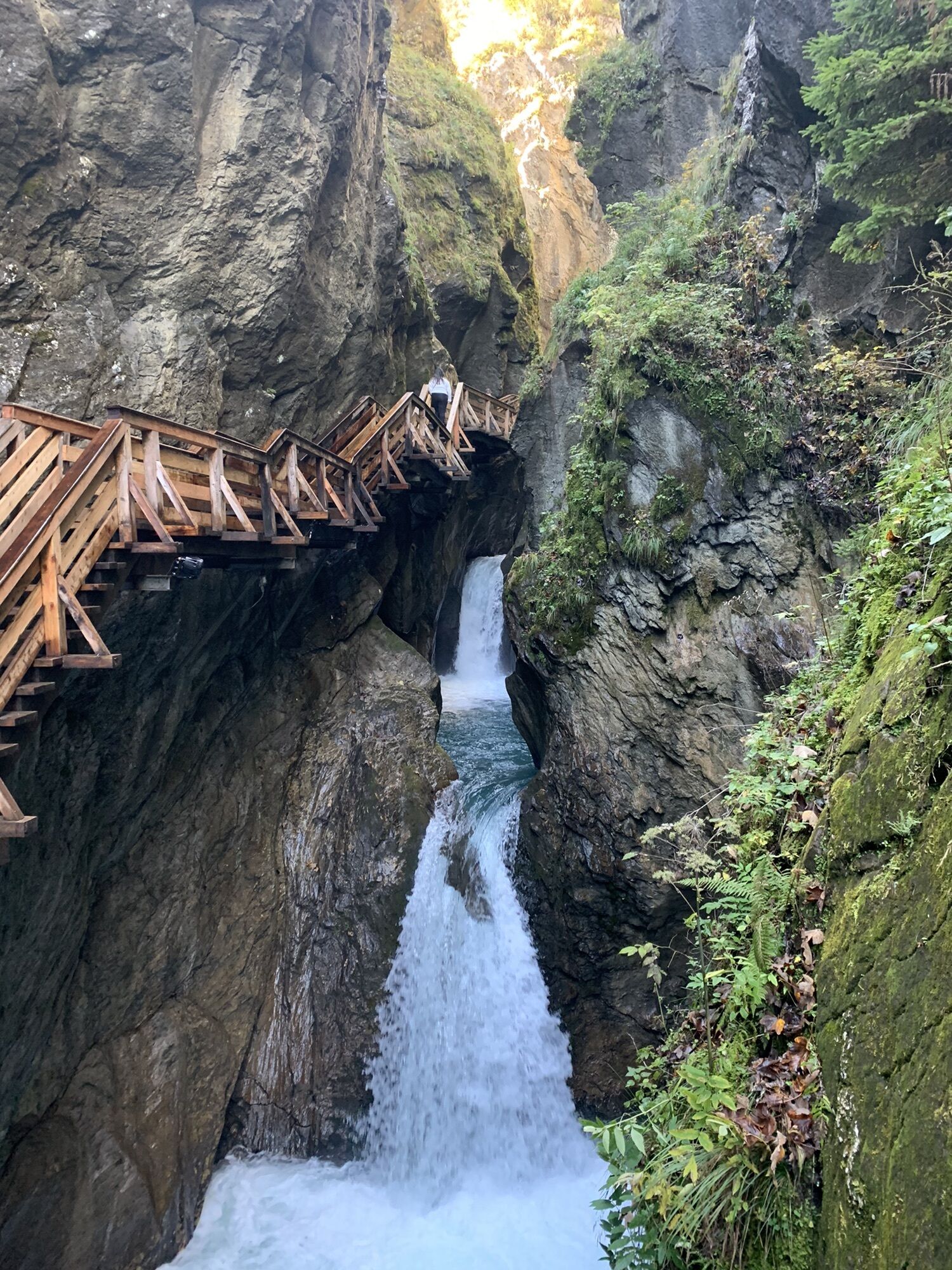
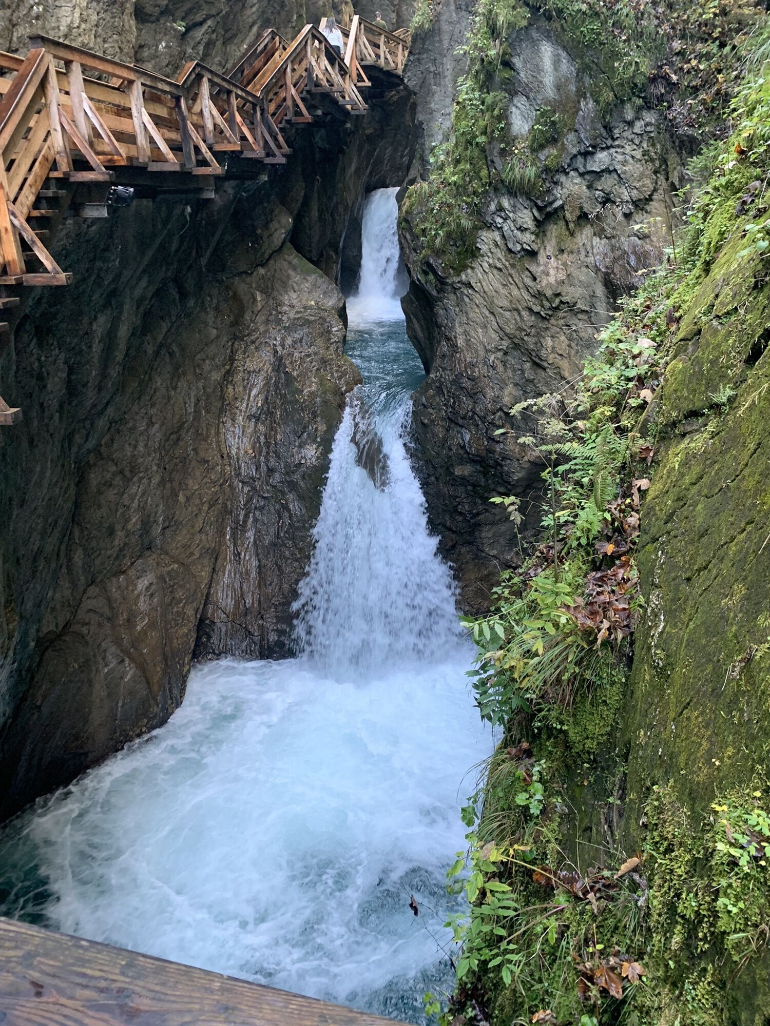
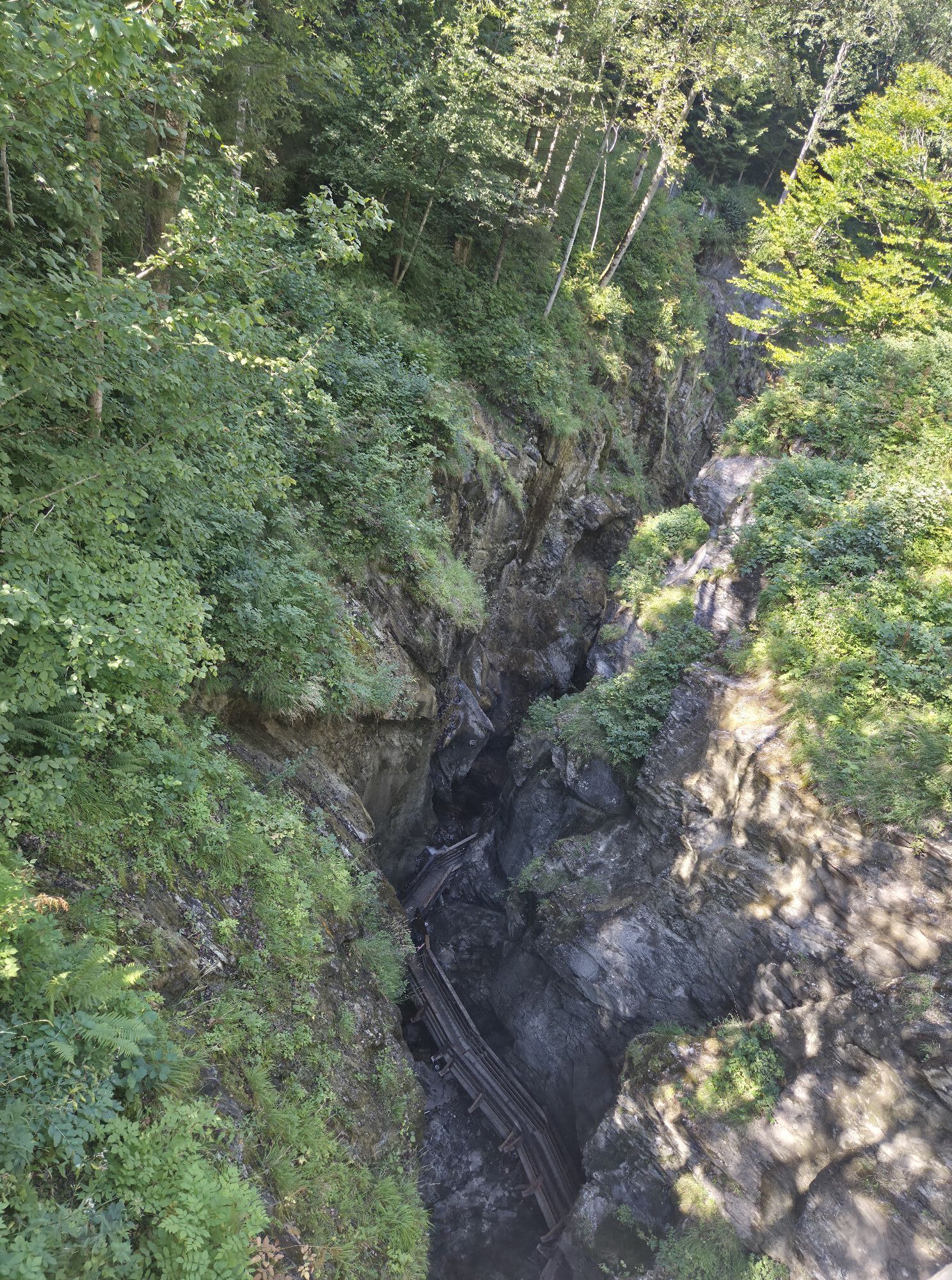
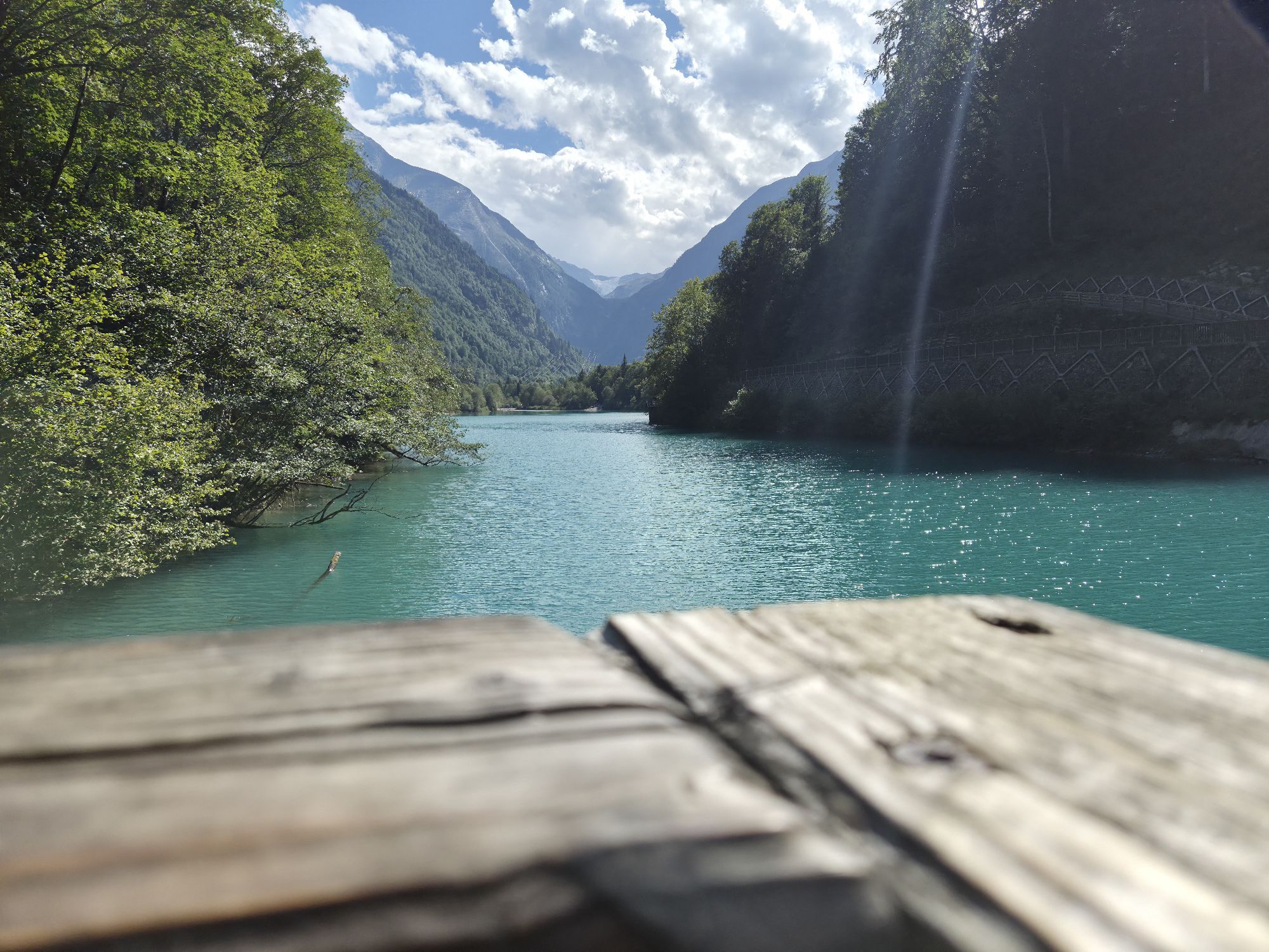
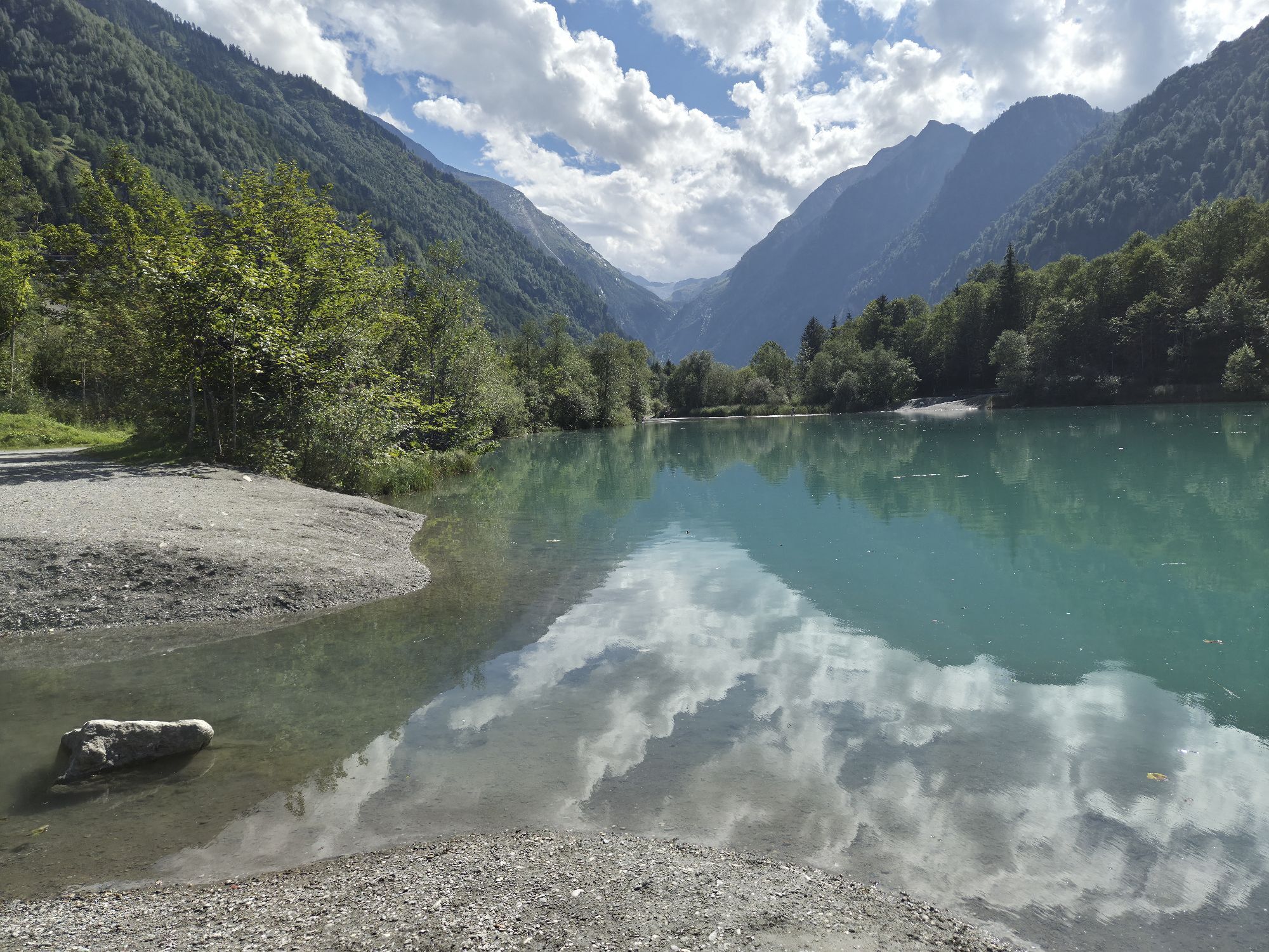
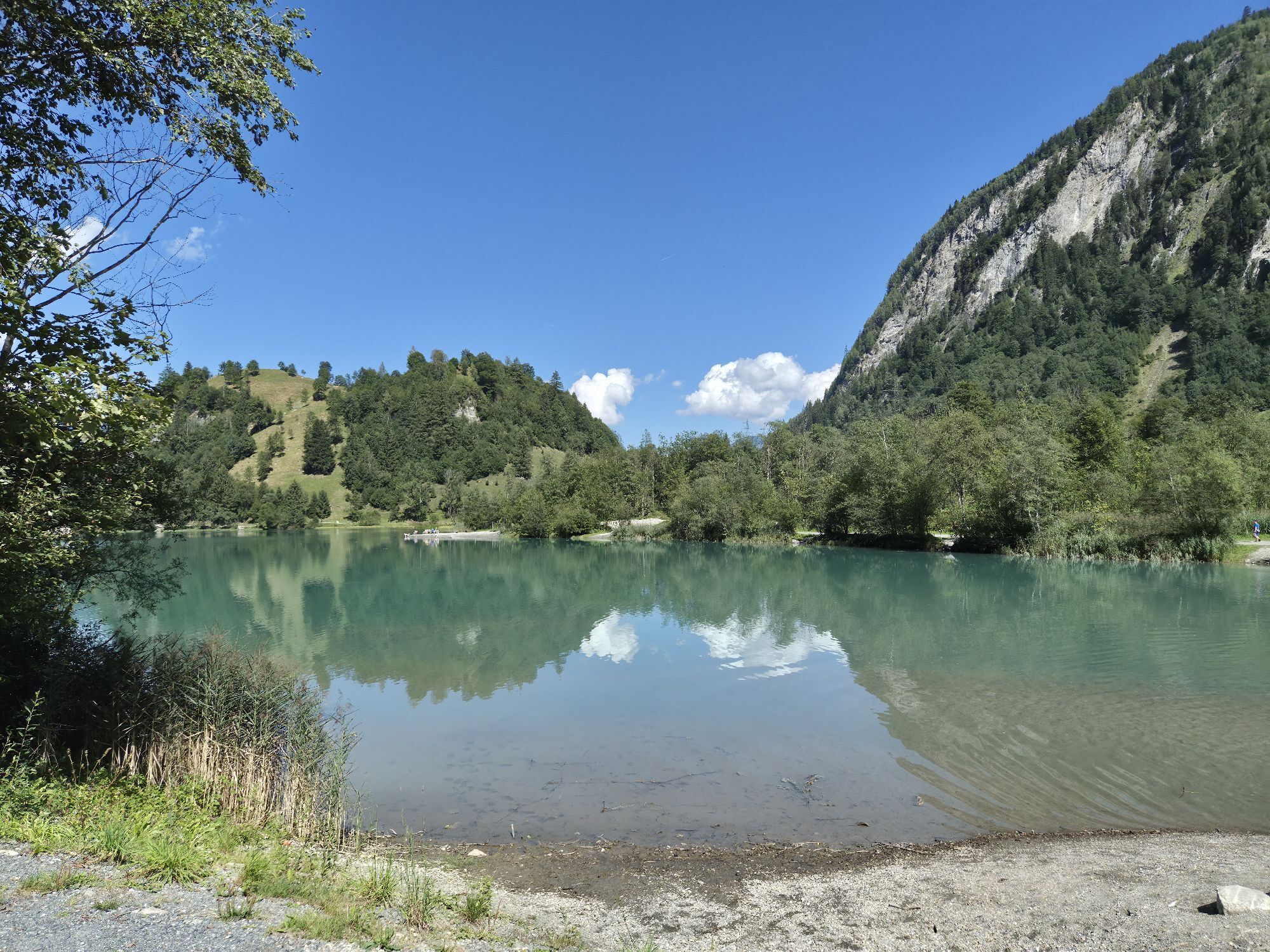
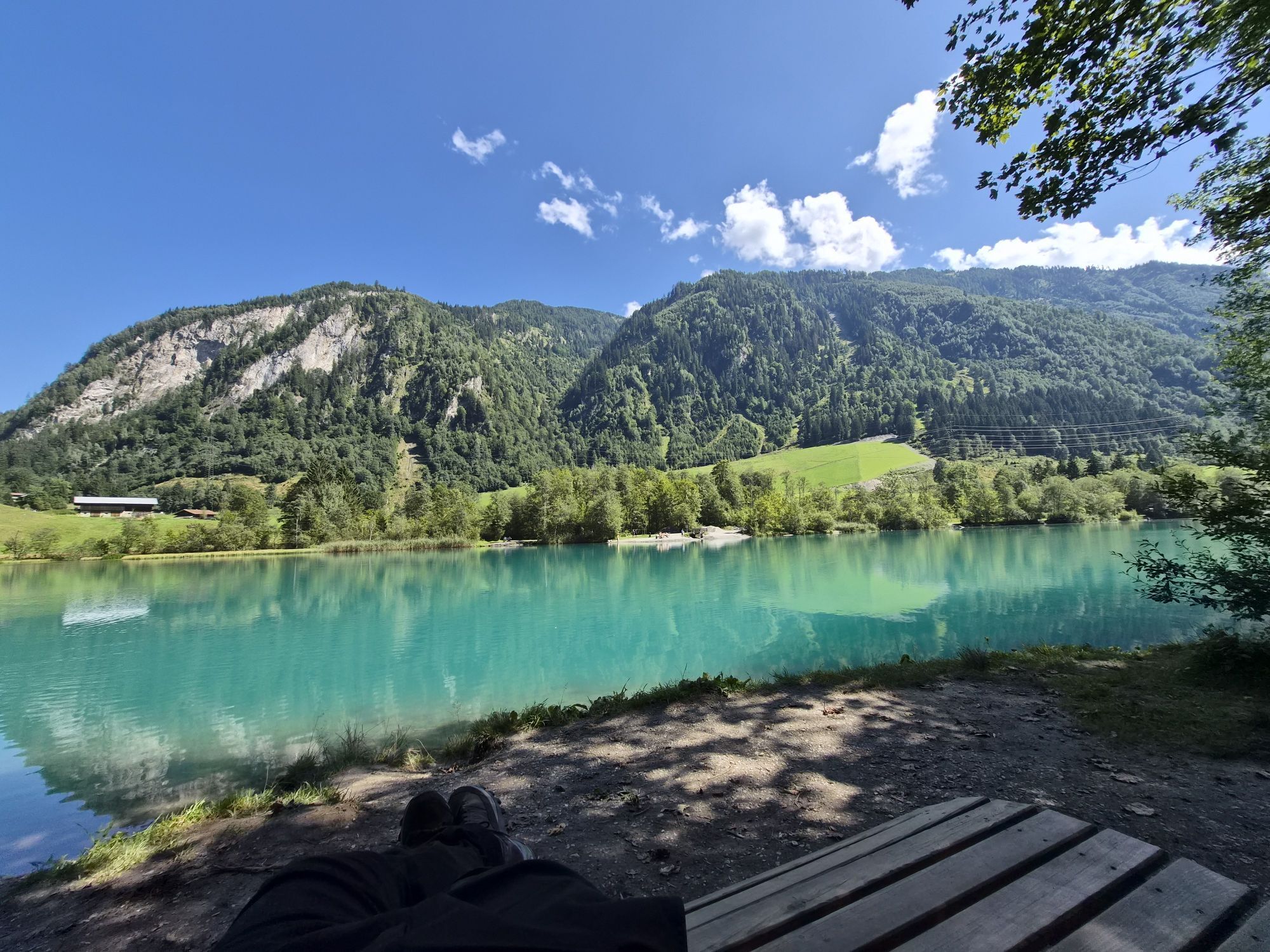
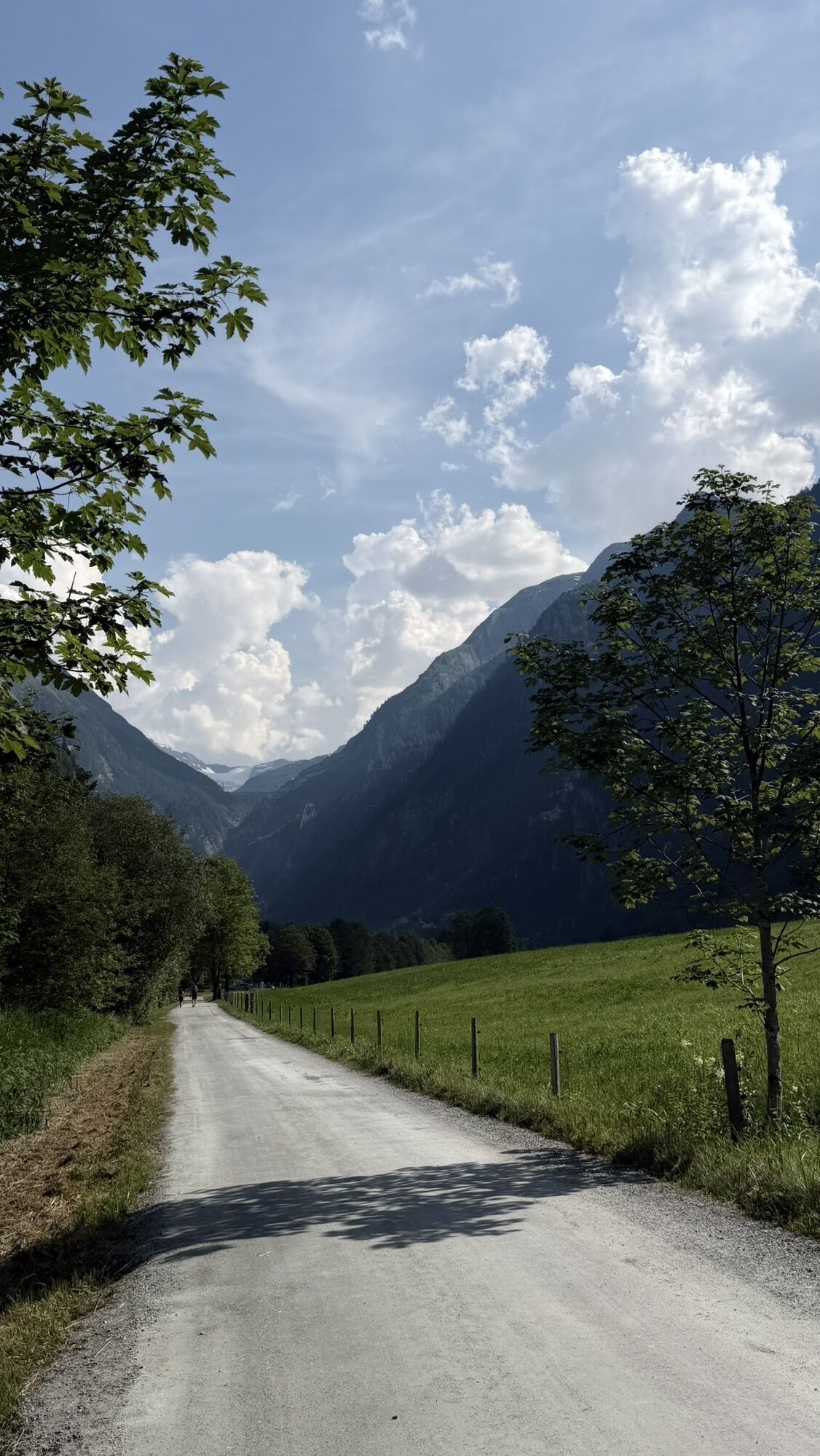
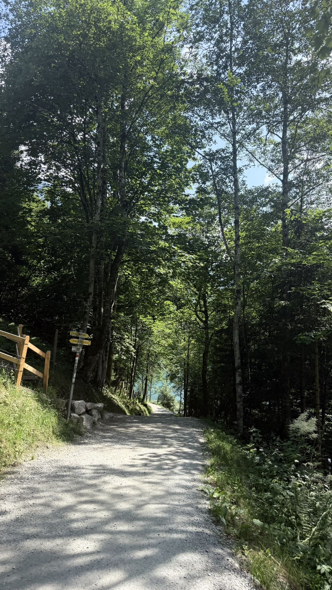
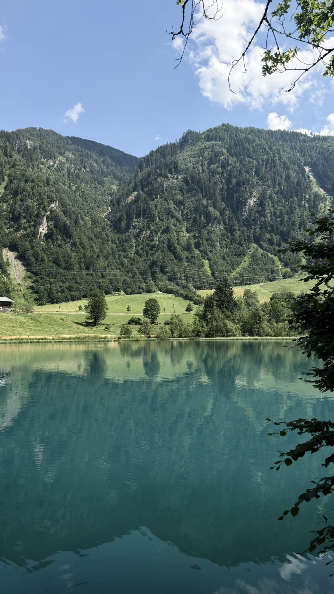
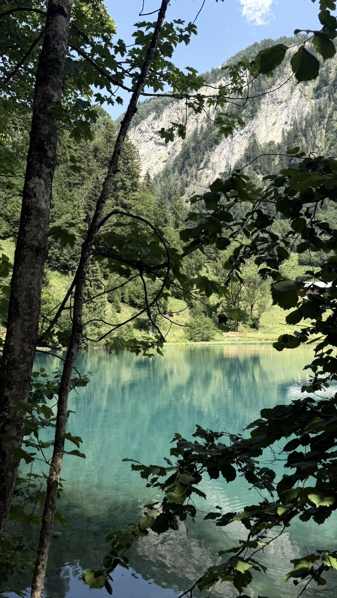
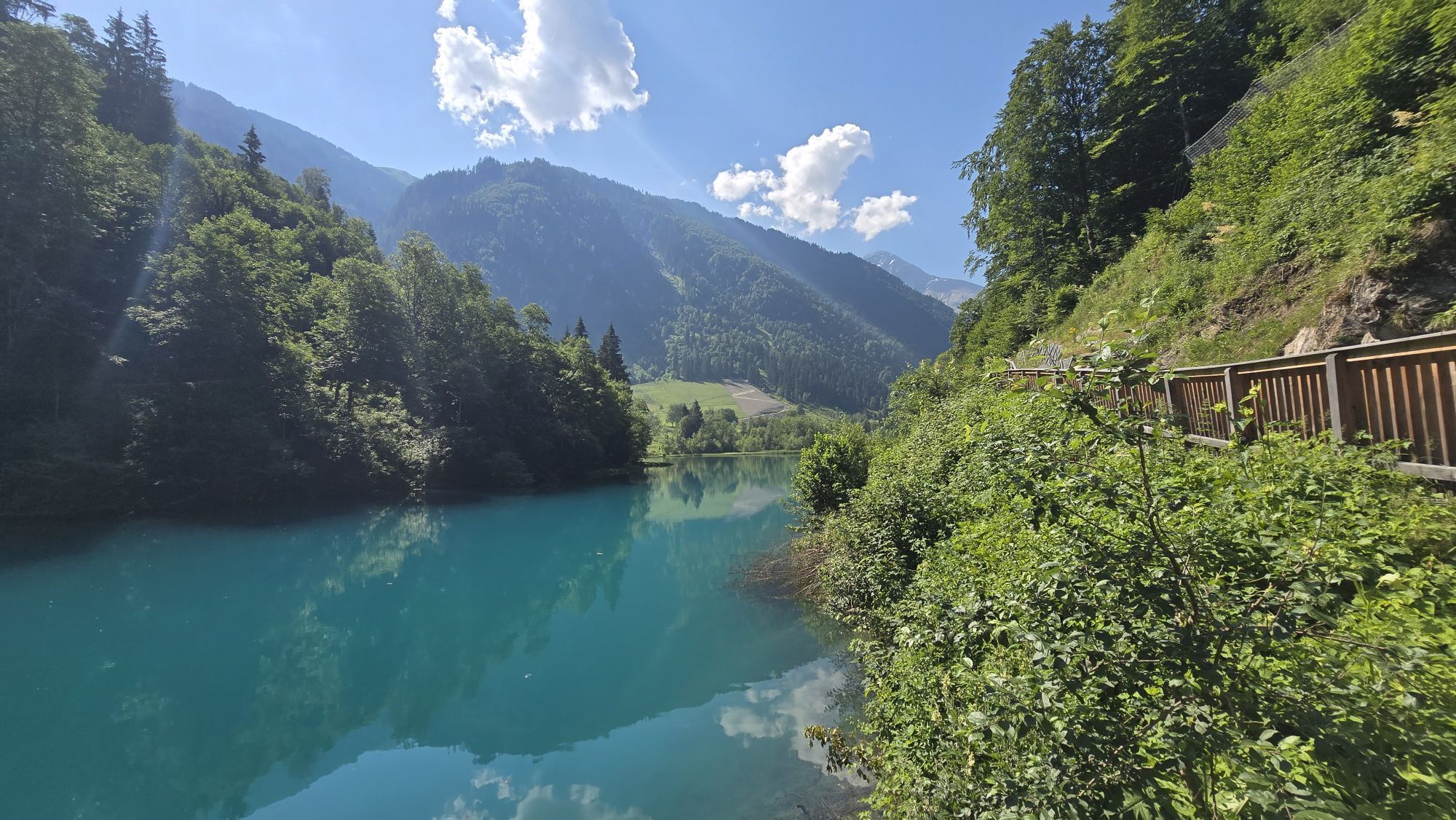
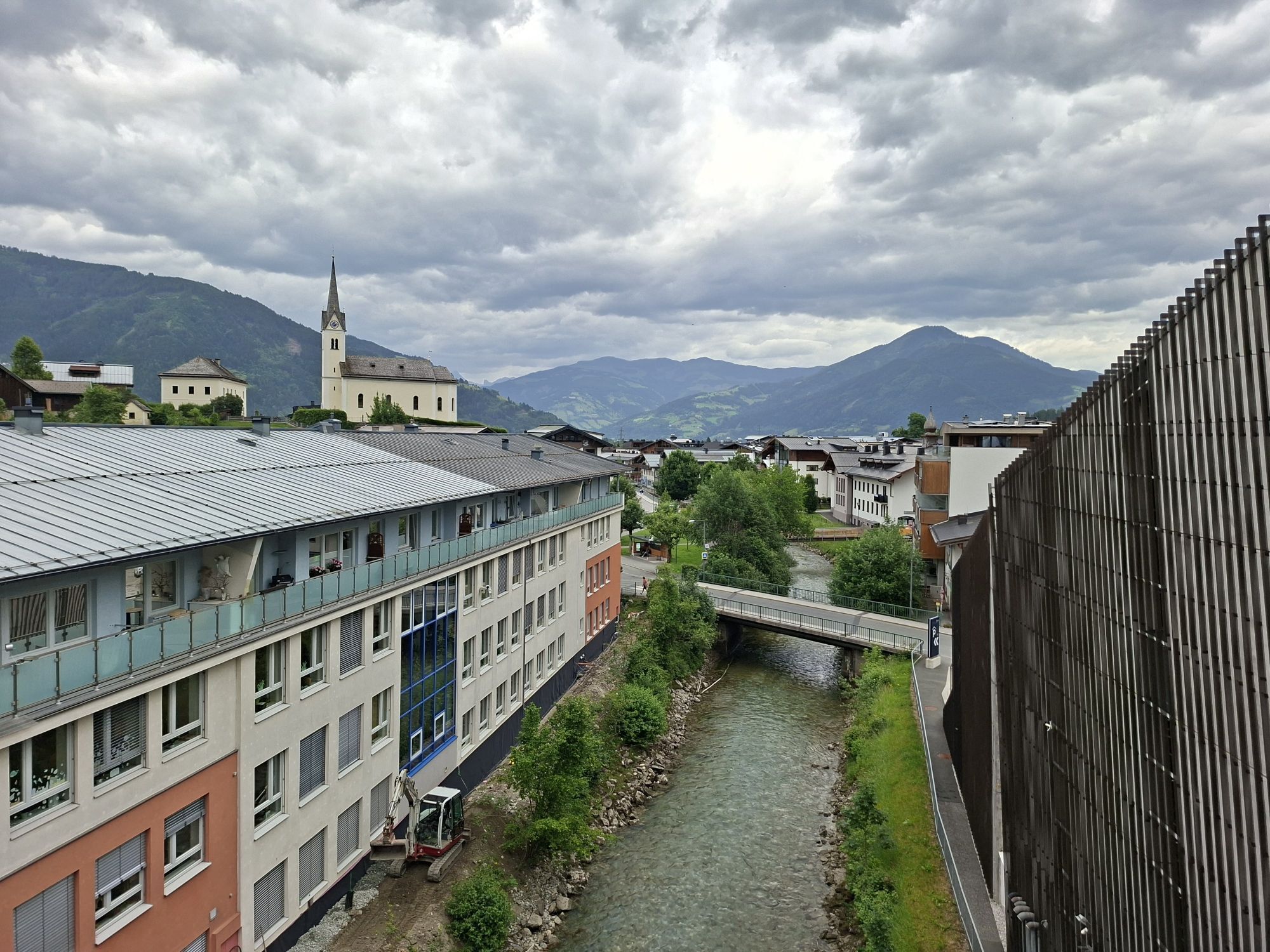
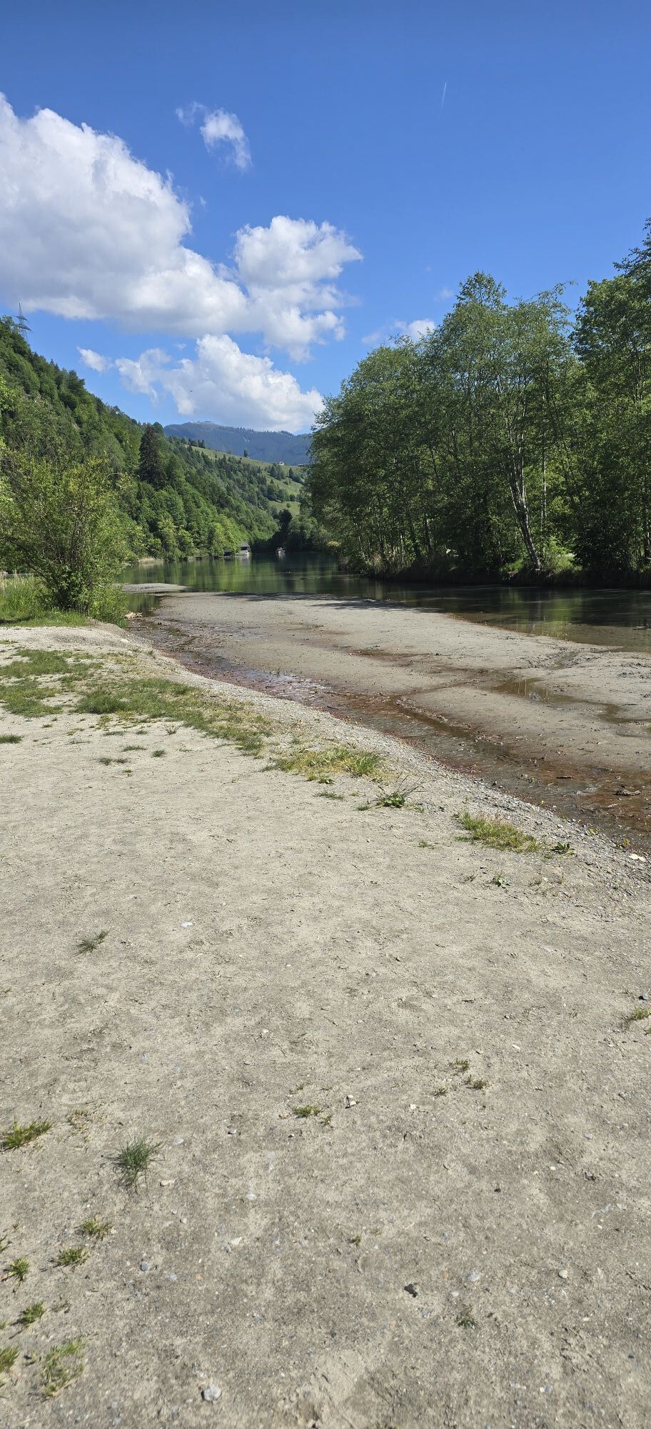
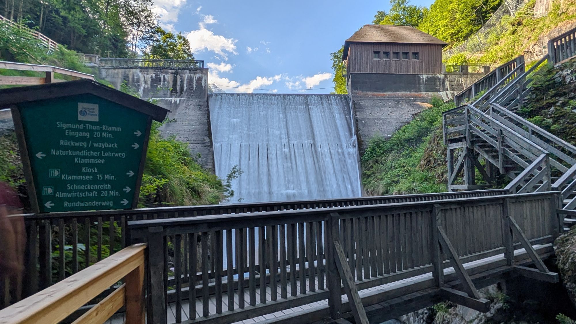
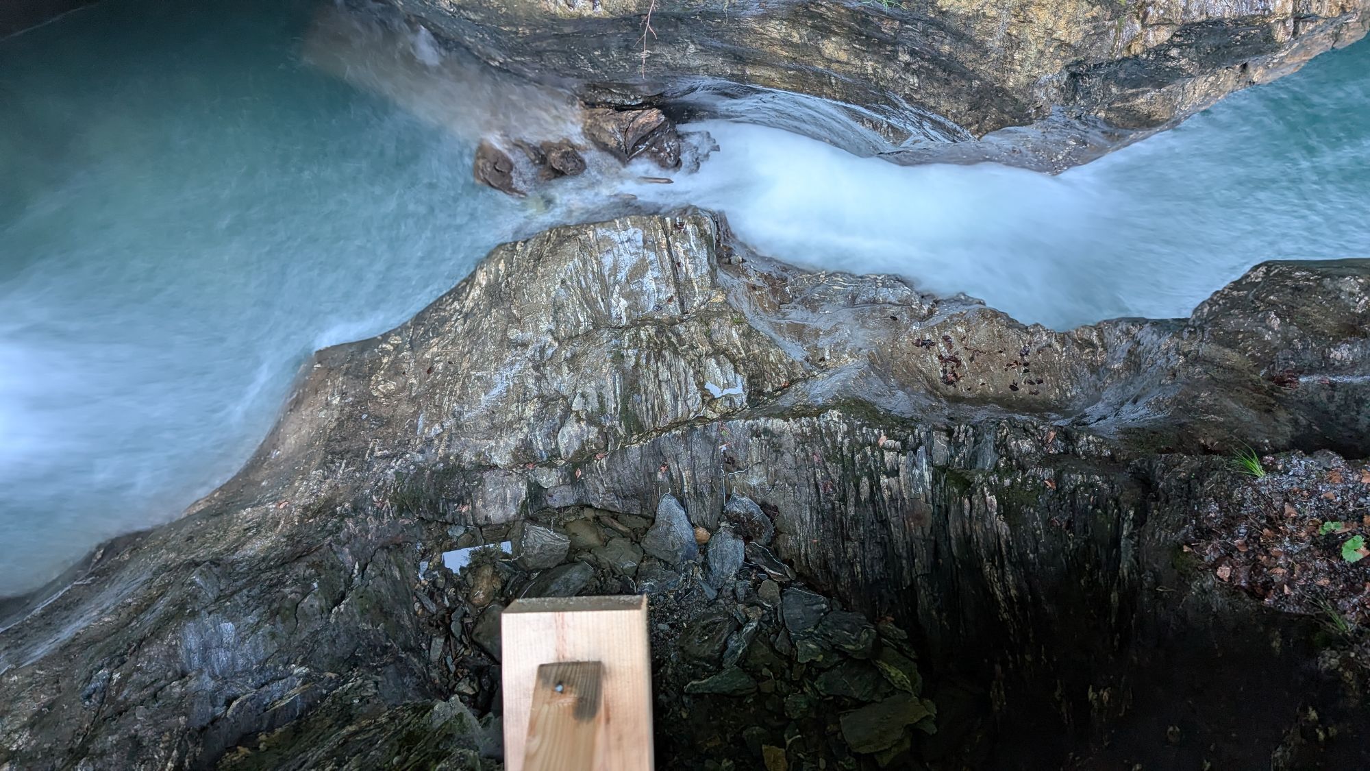
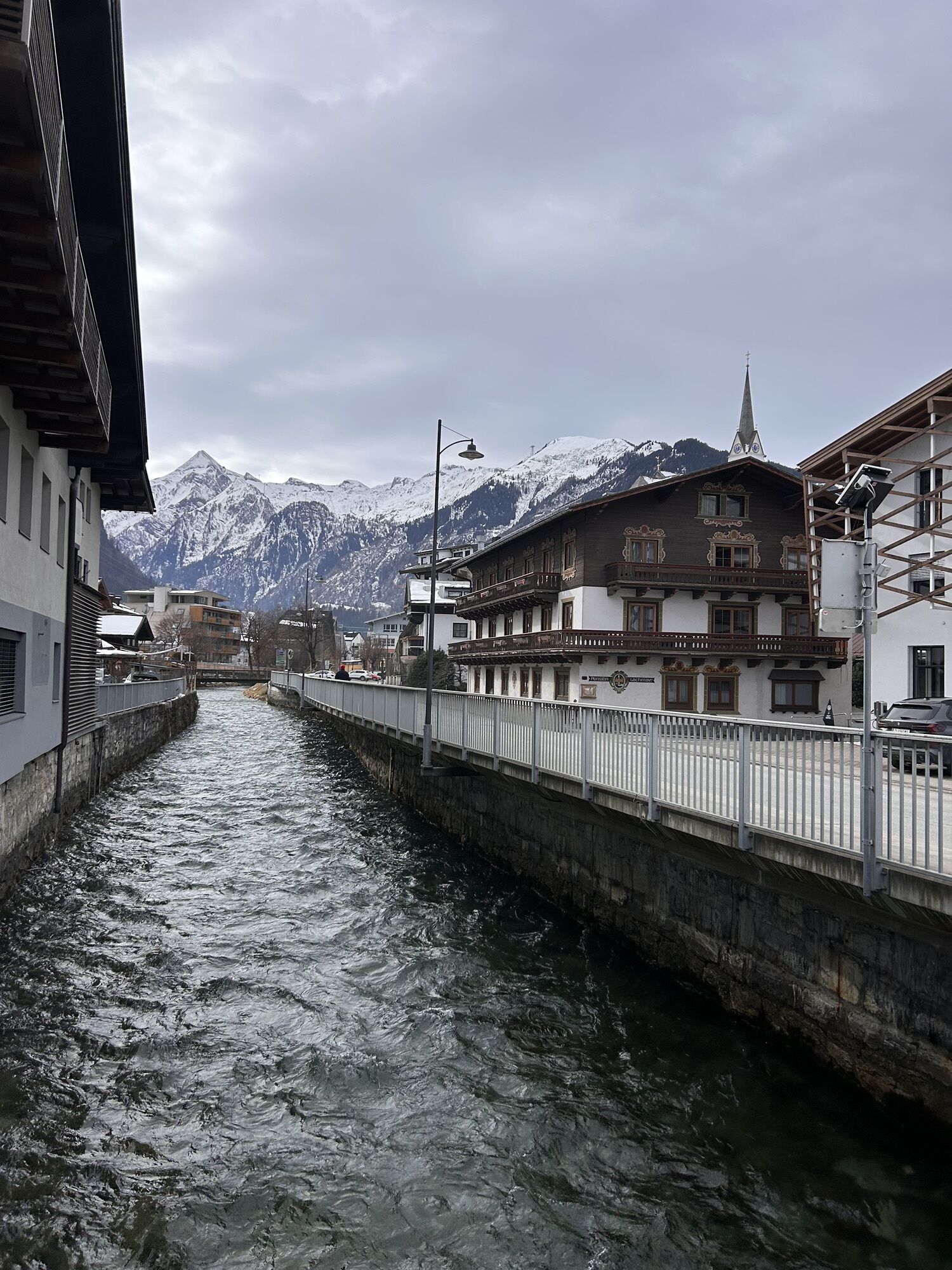
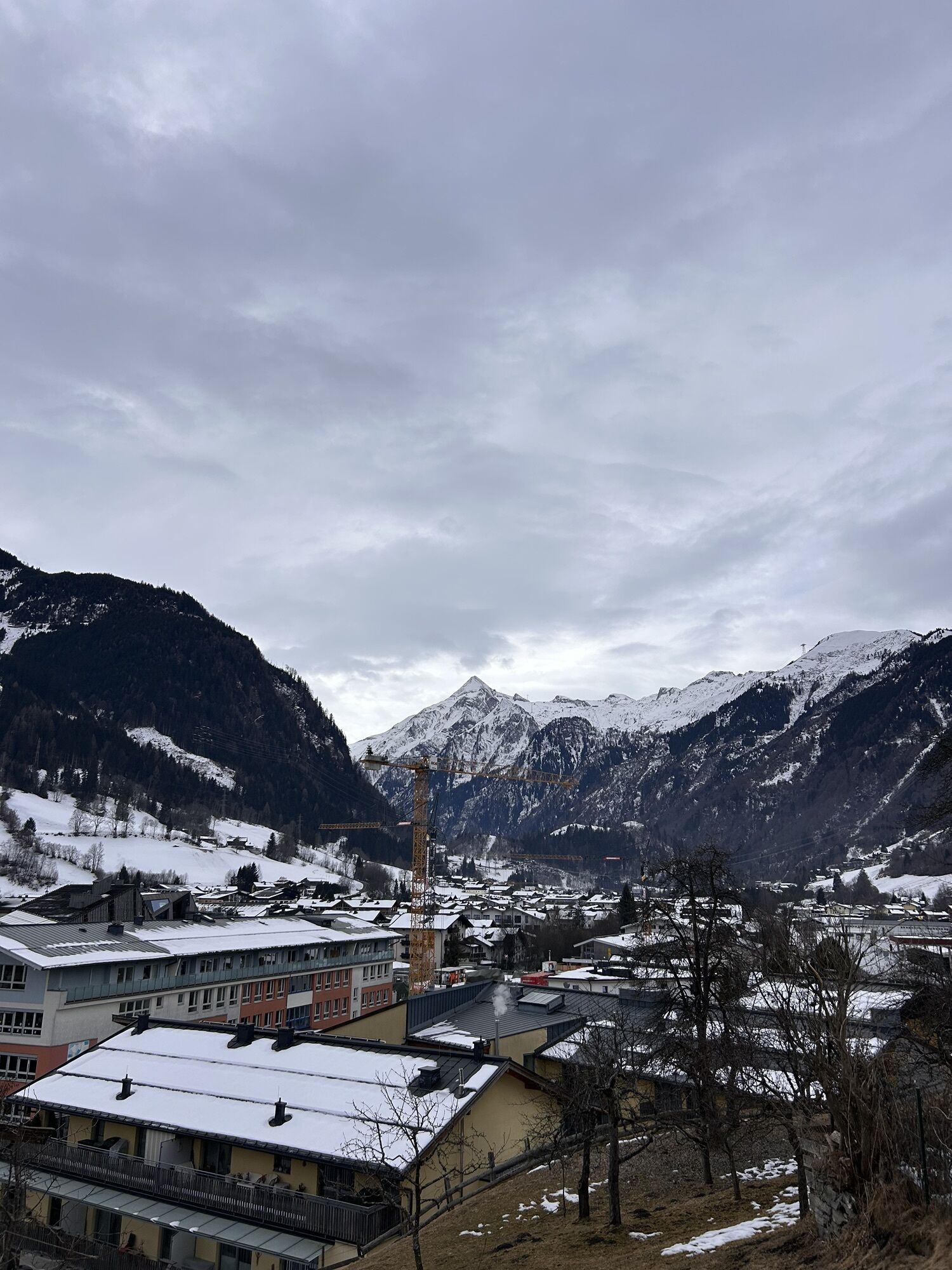
The exciting mountain bike route leads over the family mountain Maiskogel to the Maiskogel Alm Ranch, the highest point of the route. From here it gets exciting, as the descent leads over the natural and...
The exciting mountain bike route leads over the family mountain Maiskogel to the Maiskogel Alm Ranch, the highest point of the route. From here it gets exciting, as the descent leads over the natural and relatively easy Bachler Trail, where especially beginners get their money's worth.

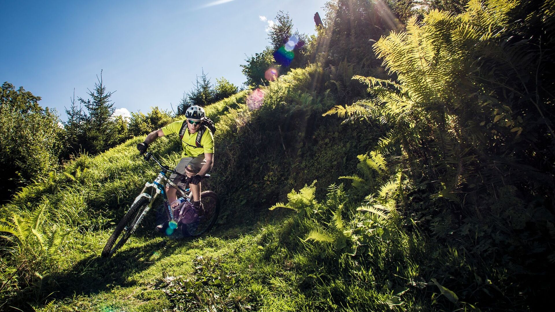

From the valley station of the MK Maiskogelbahn, follow the cycle path through the tunnel to the Schaufelbergstraße junction. Turn right here and follow the road uphill, past the Unteraigen snack station towards Stangerbauer. About 100 m before Stangerbauer, turn right and follow the signs to Maiskogel Alm Ranch, the highest point of the route. Now the descent into the valley begins: starting point is Astenweg, Bachler Trail, and via Schneckenbauer (Güterweg Aubauer) to the Aub bridge. Before the Aub bridge, turn left and return on the Tauern cycle path to the starting point.
Signage: Bachler Trail F1
Tak
Stay on the marked routes/trails!
The shared rules of conduct ensure that the forest and pasture areas continue to offer a unique recreational and living space as well as a workplace for everyone in the future.
Your behavior influences public opinion and tolerance.
By mountain bike: From Piesendorf Niedernsill follow the well-signed Tauern cycle path to the valley station of the MK Maiskogelbahn in Kaprun.
Sufficient parking available at the valley station of the MK Maiskogelbahn.
At the managed huts, it is worth taking a break to enjoy the impressive panorama over the Salzach valley from the sun terrace.
Uzyskaj wgląd
Zawsze na żywo z ponad 9 500 kamer internetowych. bergfex Jako użytkownik Pro, możesz teraz zobaczyć odpowiednie kamery internetowe dla wielu wycieczek w aplikacji wycieczki od. Pozwala to na bezpośredni podgląd aktualnych warunków.

Popularne wycieczki w okolicy
-
4,2
Maurerkogel (Top)
Wędrówka 10,5 km -
4,6
Sigmund Thun Klamm, Klammsee, Bürgkogel
światłoWędrówka 4,56 km -
4,6
Thumersbach, Runde um den Zeller See
światłoWędrówka 13,3 km -
4,9
Hochsonnberg Runde
średniMountainbike 59,8 km -
5,0
Wasserfallboden/Mooserboden
ciężkiWędrówka 19,5 km -
4,4
Sigmund Thun Klamm
światłoWędrówka 3,10 km -
4,3
Hundstein-Runde von Maria Alm
ciężkiMountainbike 44,4 km -
4,6
Panorama route 3 peaks and 2 lakes
średniWędrówka 7,21 km -
4,7
3 Oktober Fusch Walcher Grung und Hohalm
średniWędrówka 8,57 km -
4,6
Fusch: Gleiwitzer Hütte
ciężkiWędrówka 8,26 km
Wędrówki i tropienie


Nie przegap ofert i inspiracji na następne wakacje
Twój adres e-mail została dodana do listy mailingowej.





