






12F Bruckerberg lake view loop
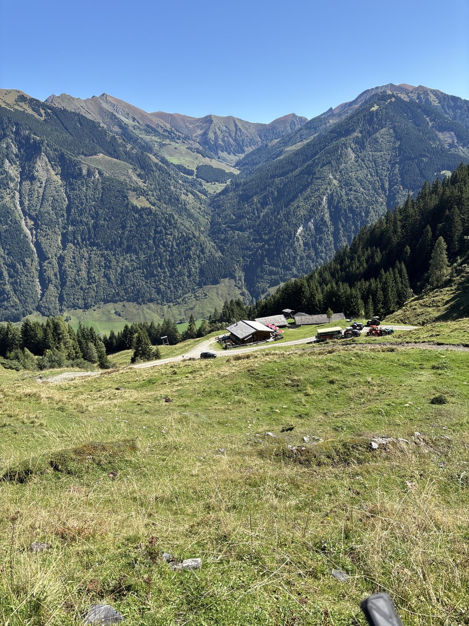
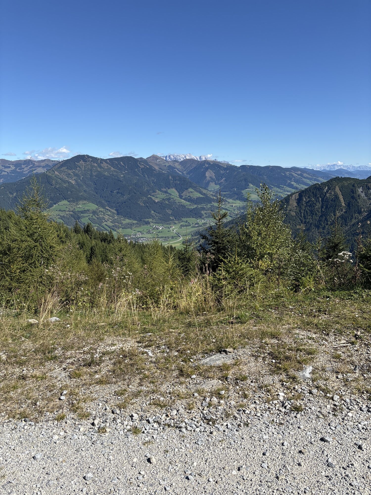
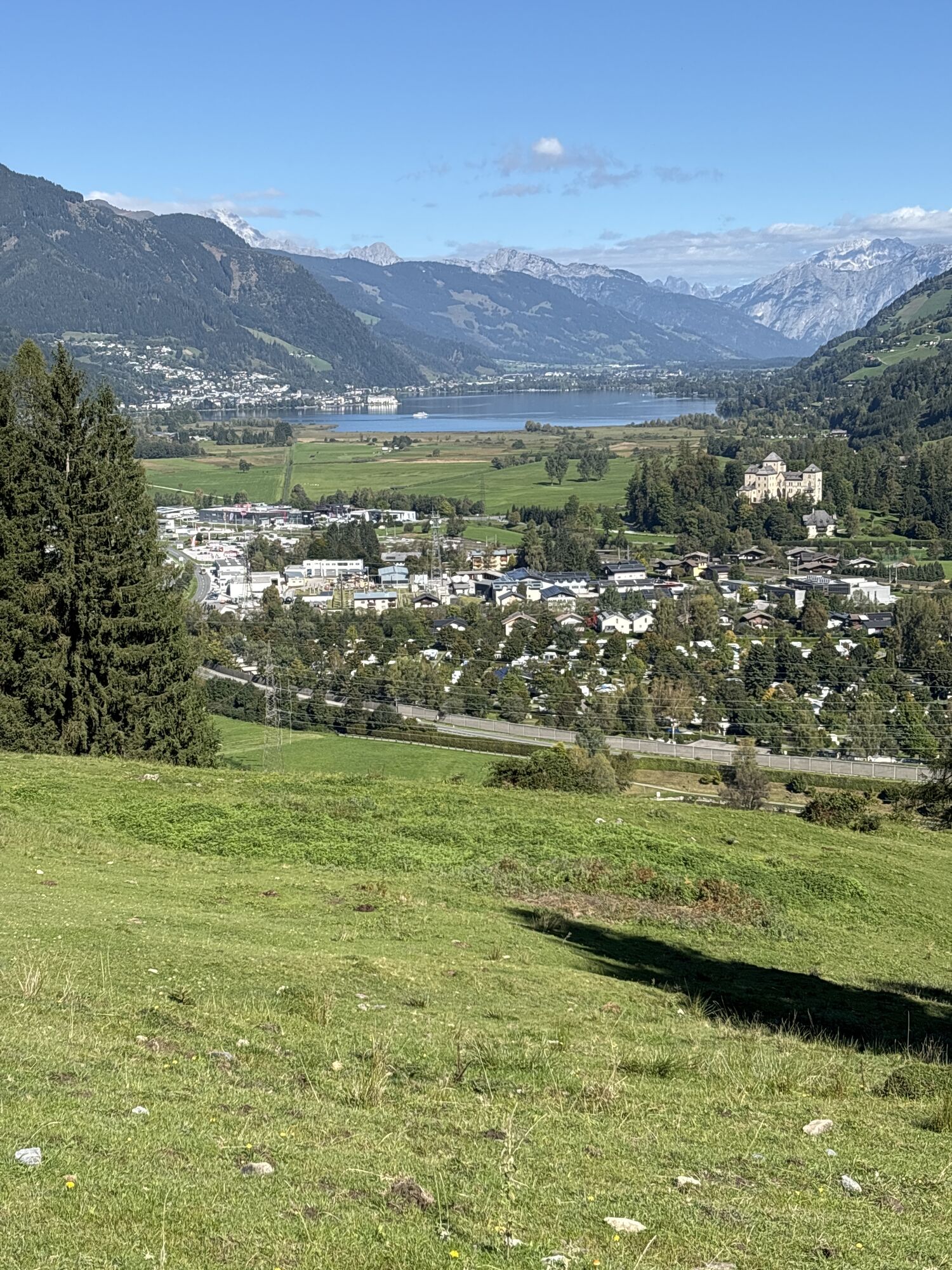
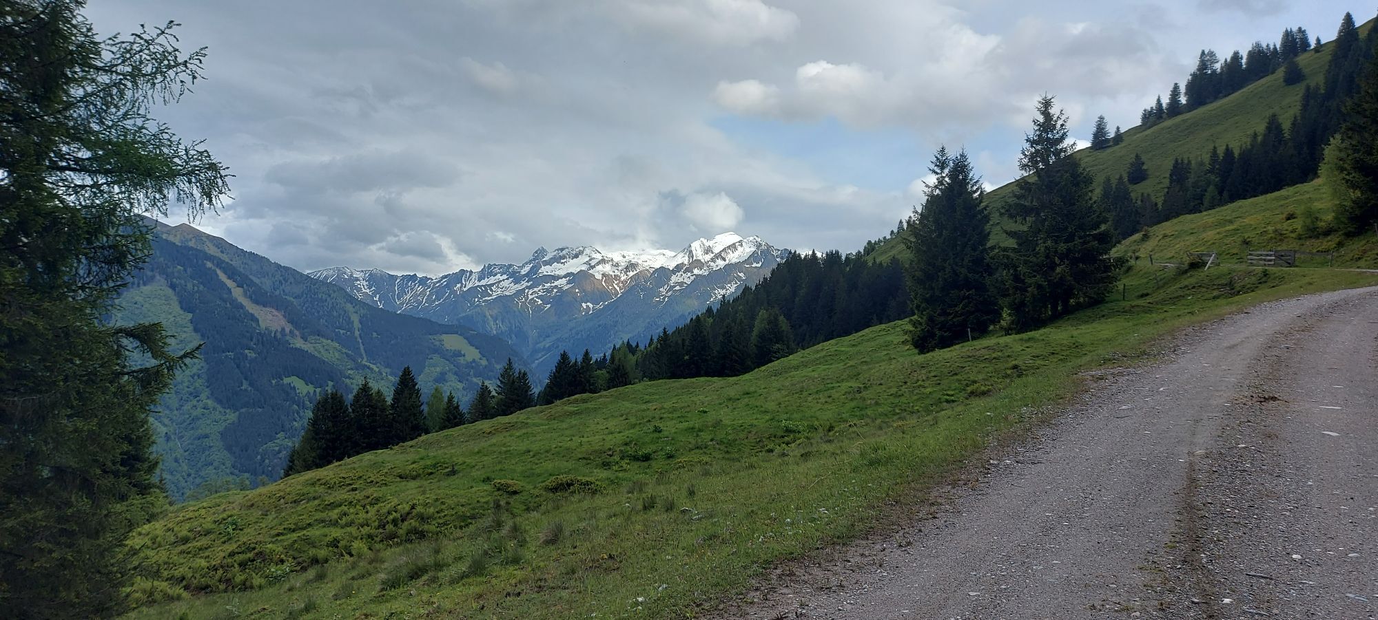
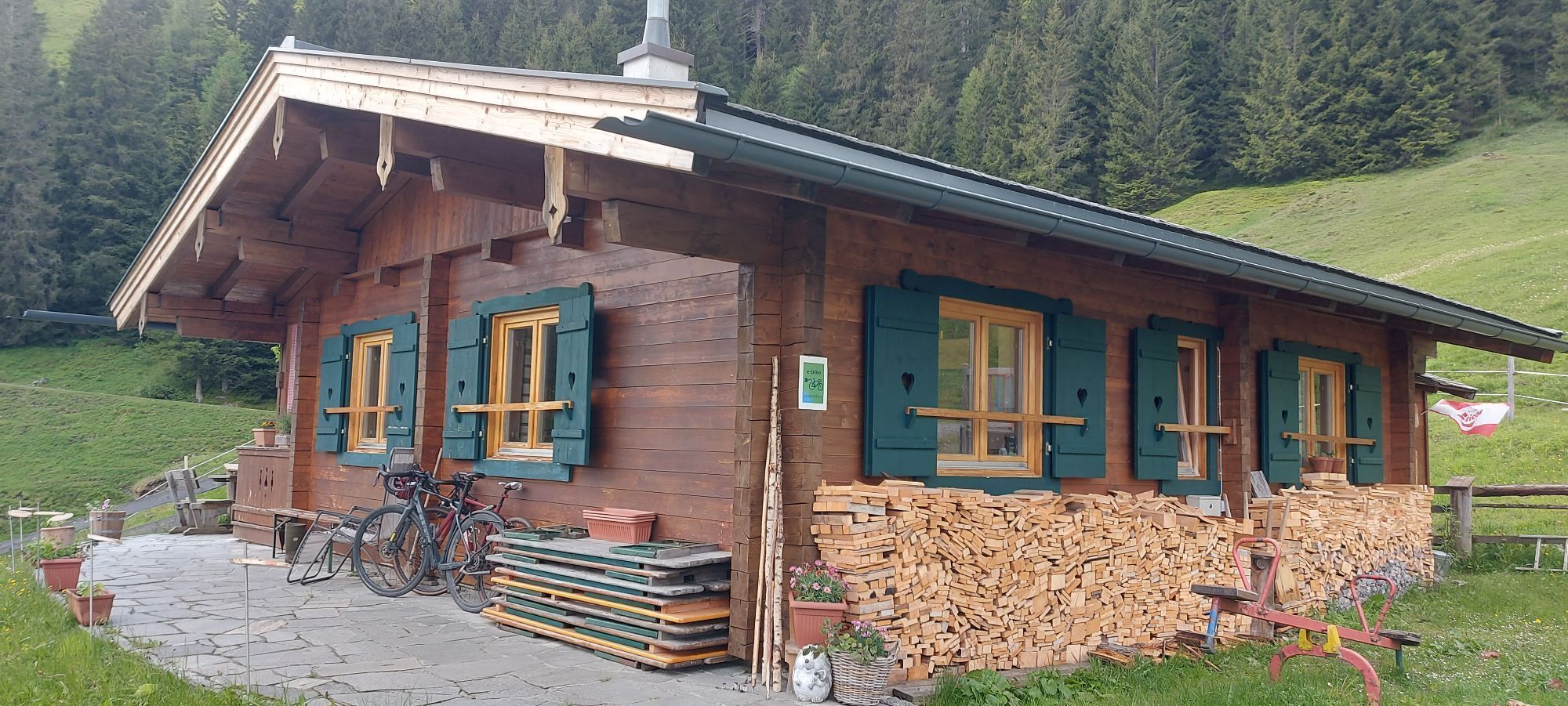
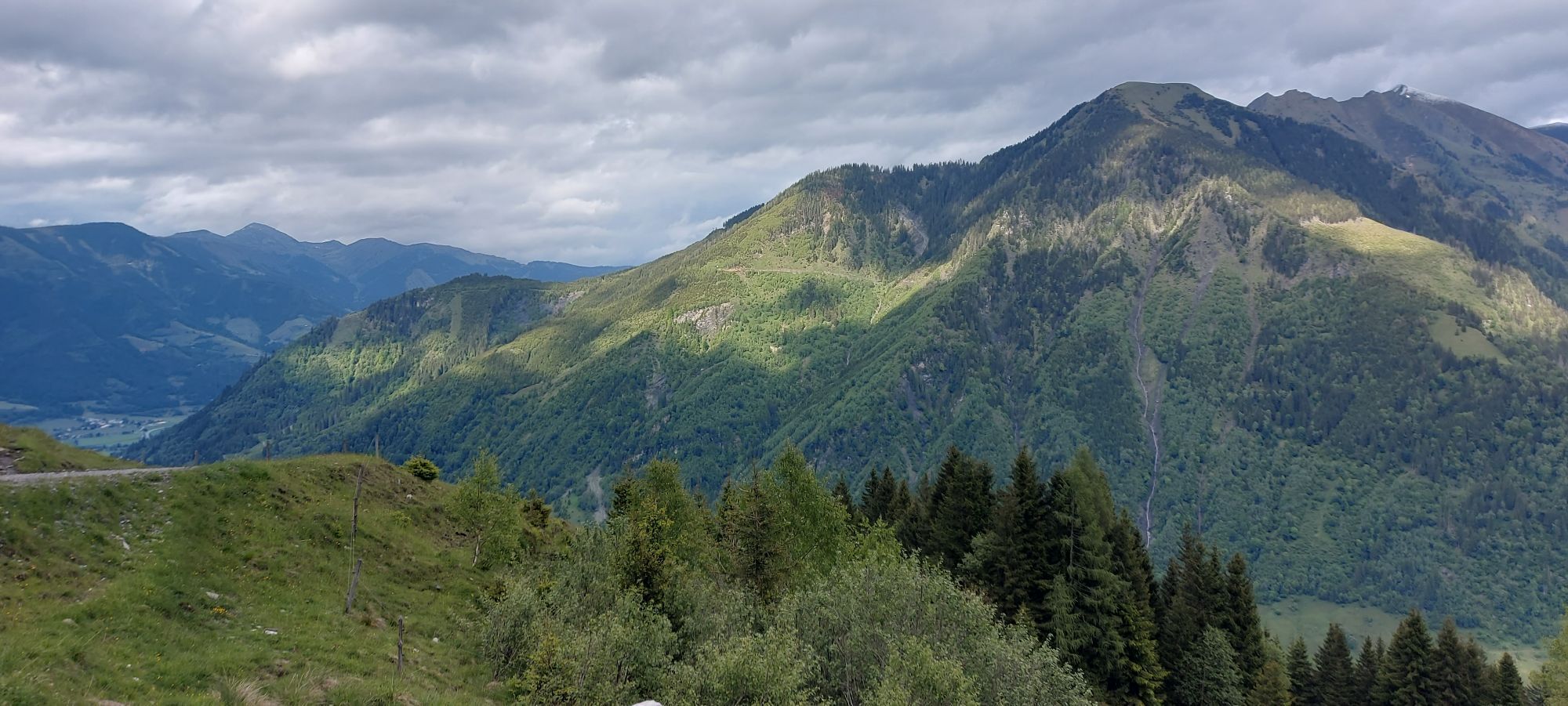
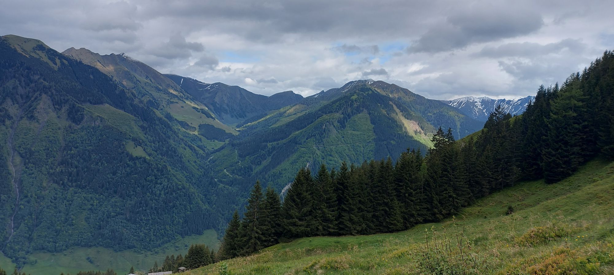
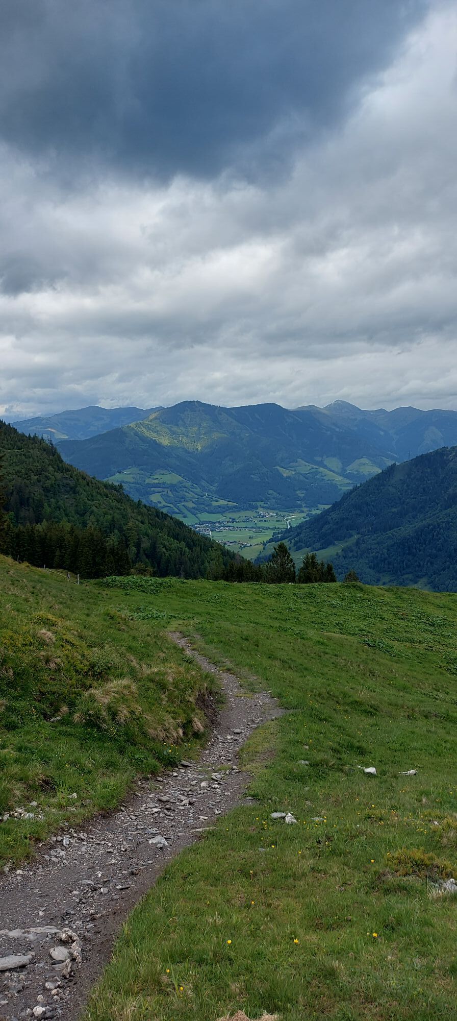
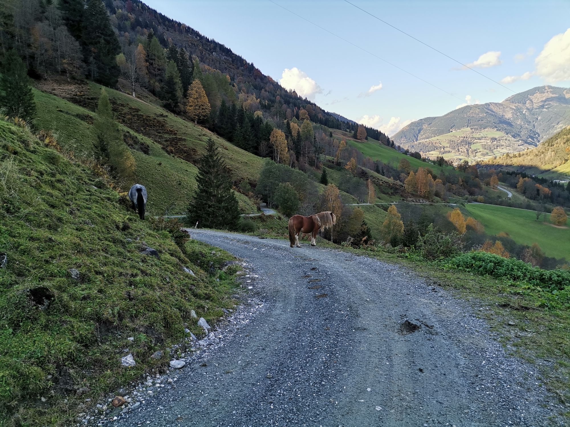
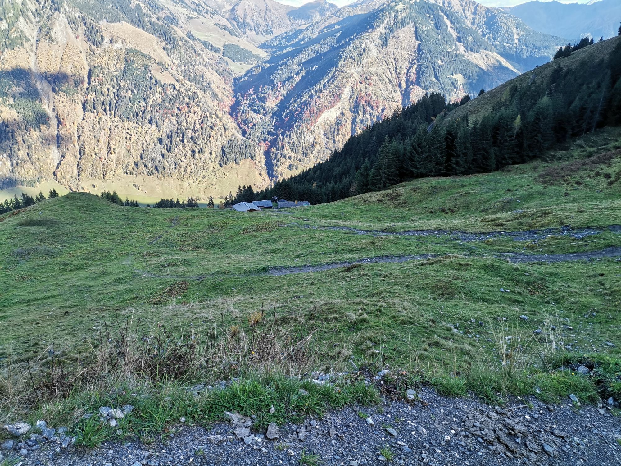

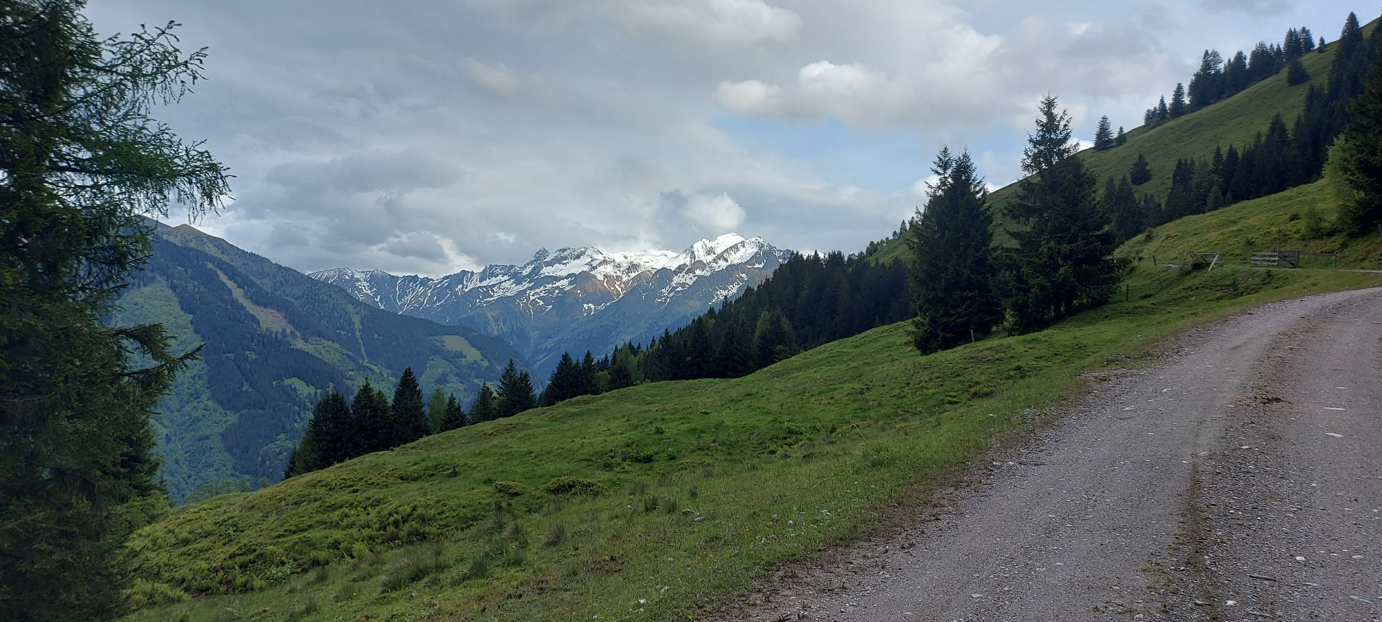
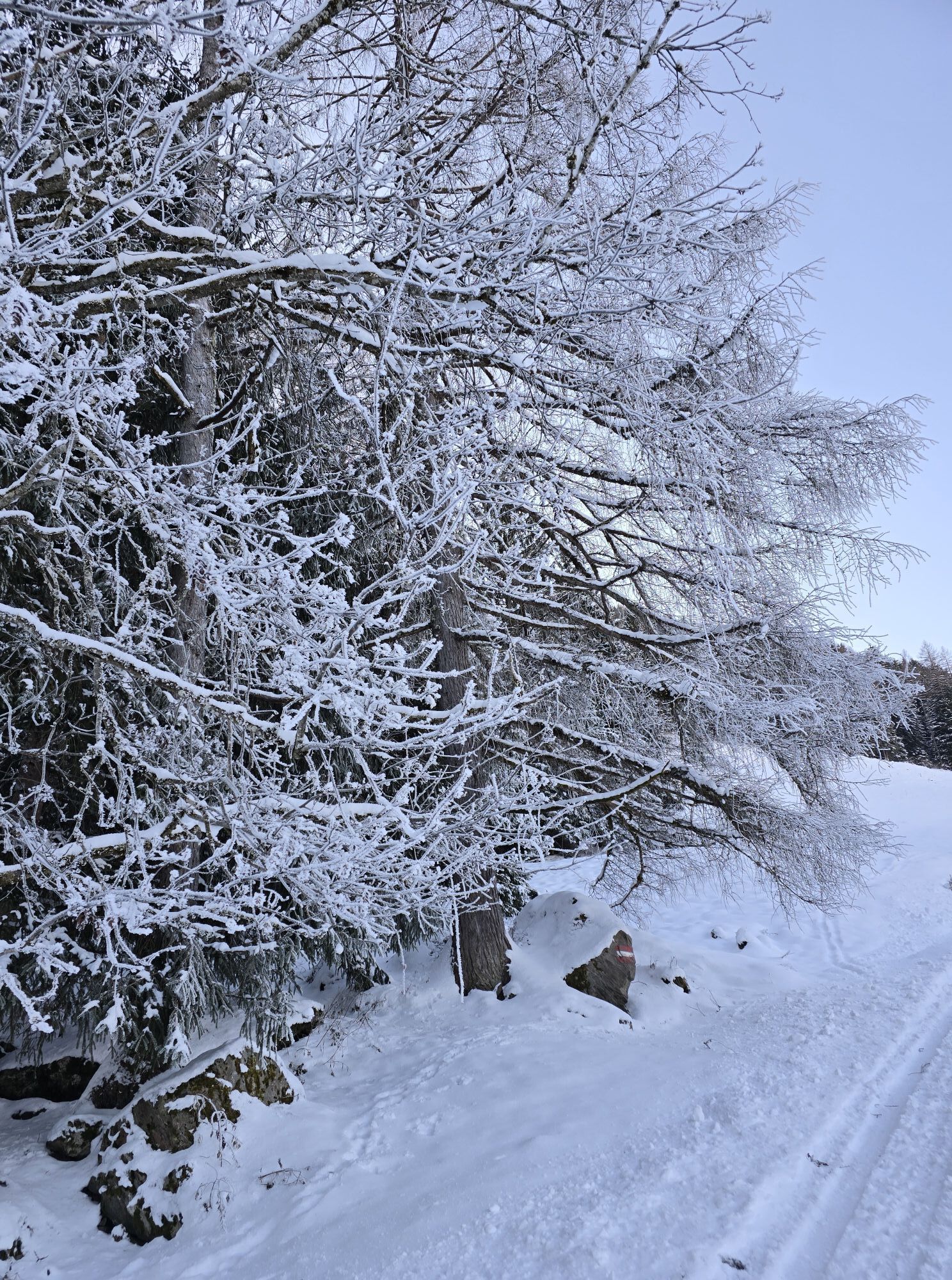
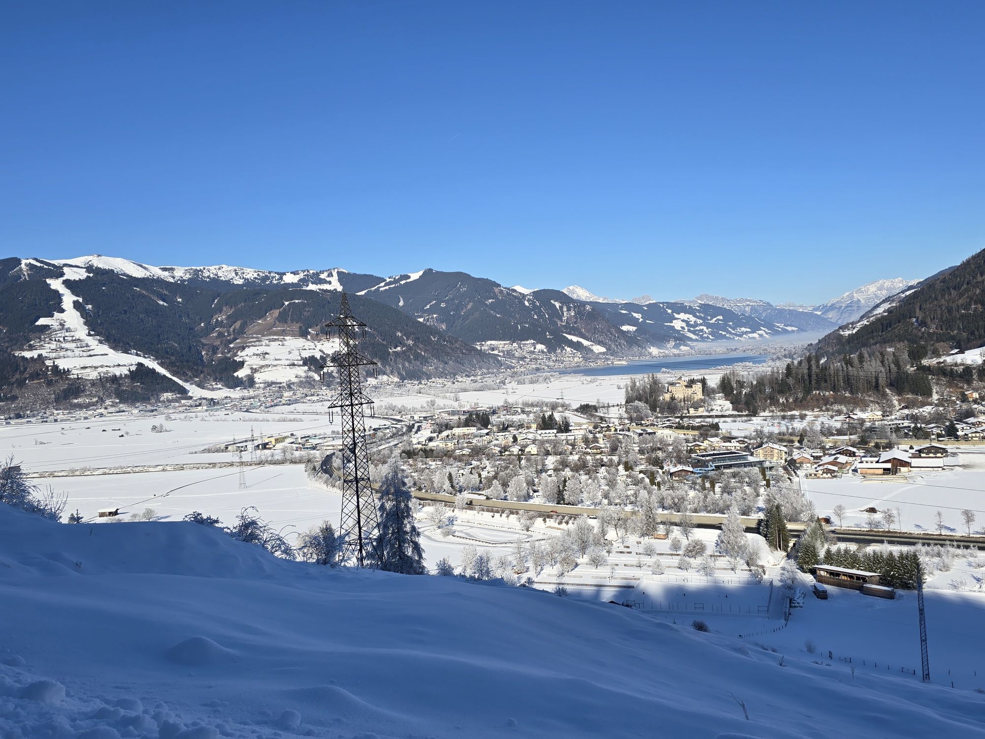
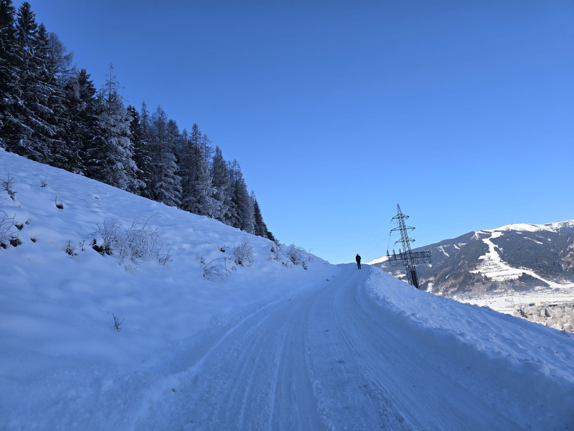
On this route, you have the luxury of choice: Thanks to the good signposting, orientation is quite easy, allowing plenty of time to enjoy the repeatedly impressive views of Lake Zell, the Stone Sea, and...
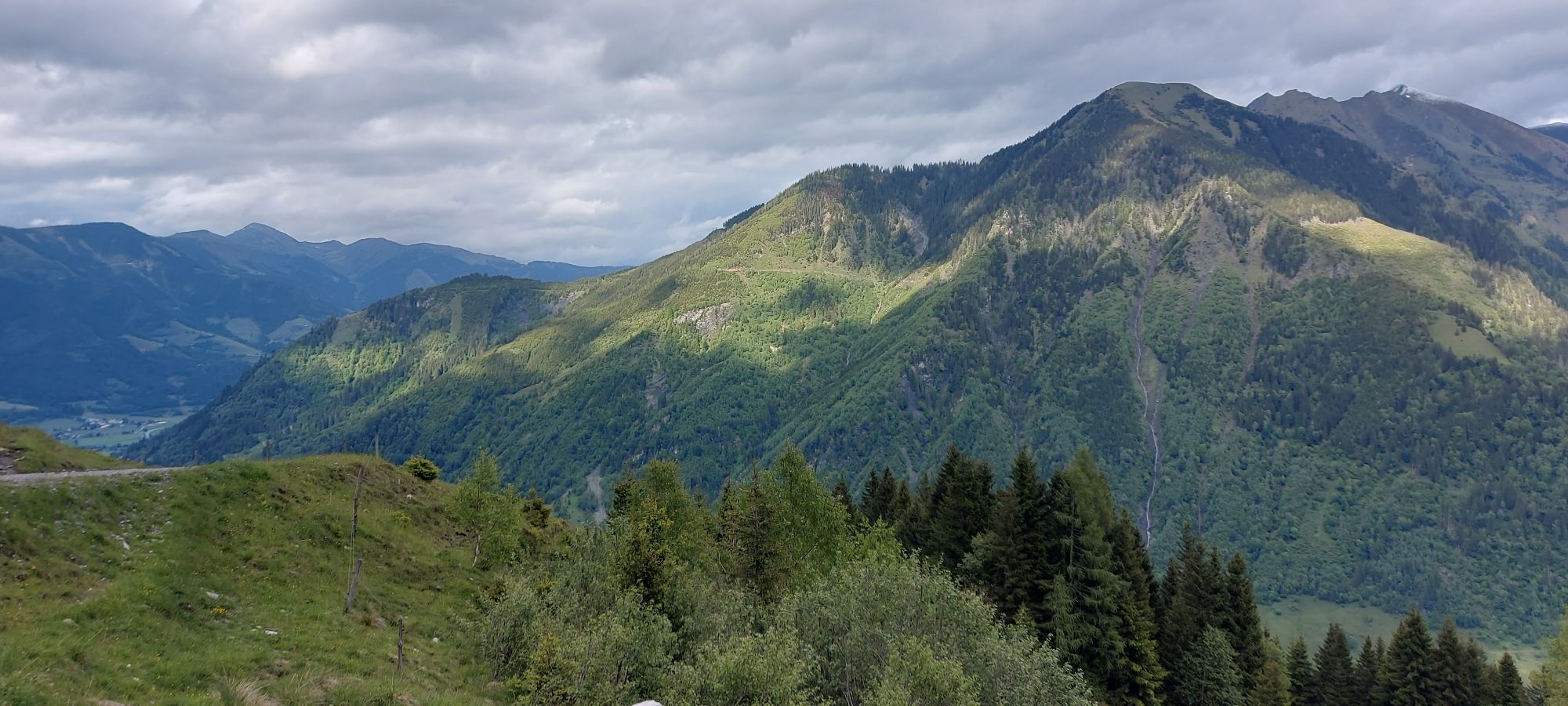
On this route, you have the luxury of choice: Thanks to the good signposting, orientation is quite easy, allowing plenty of time to enjoy the repeatedly impressive views of Lake Zell, the Stone Sea, and the surrounding mountains.

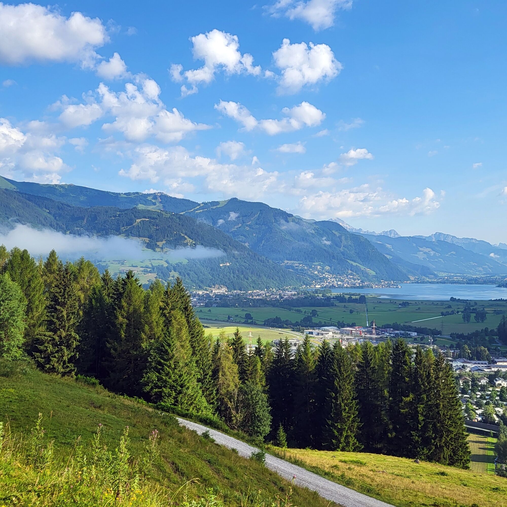
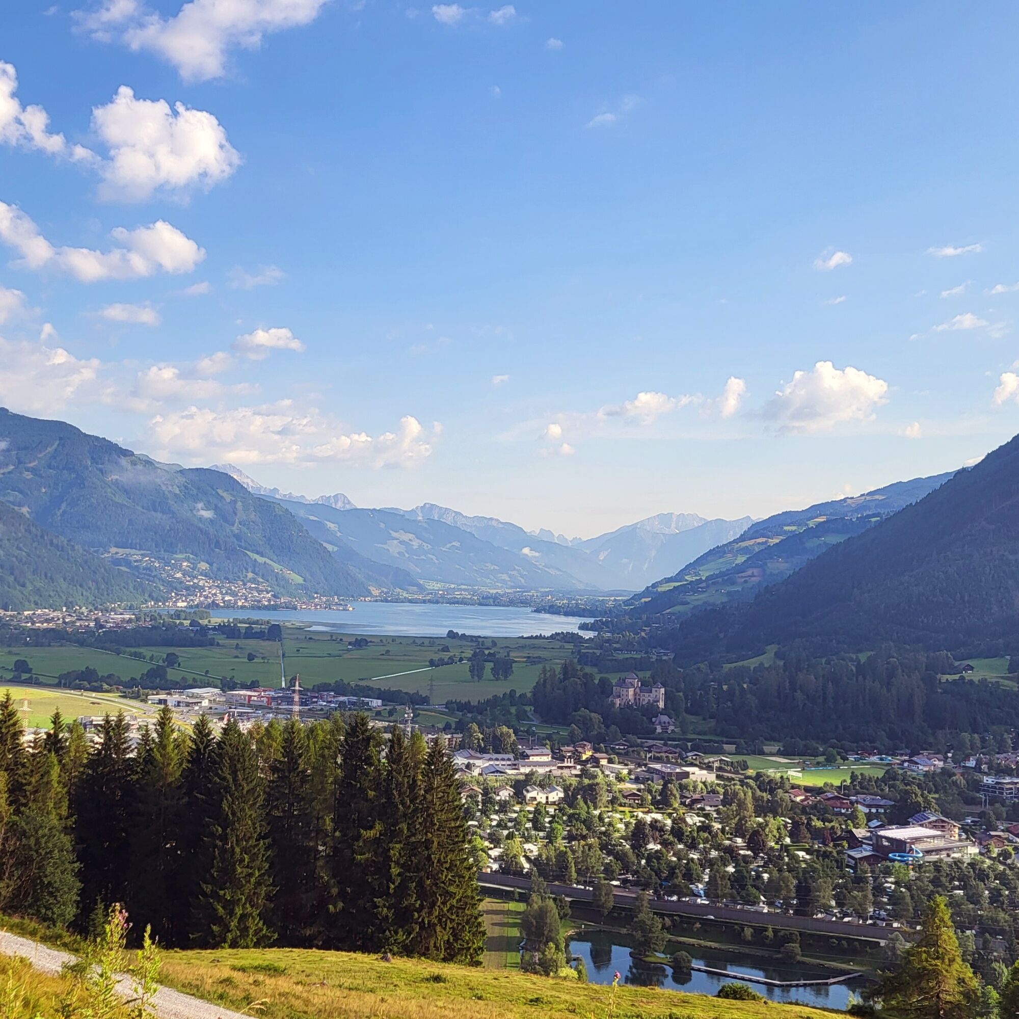

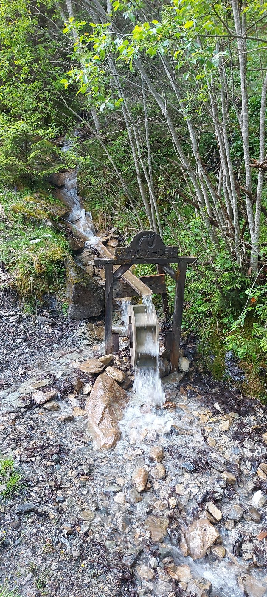
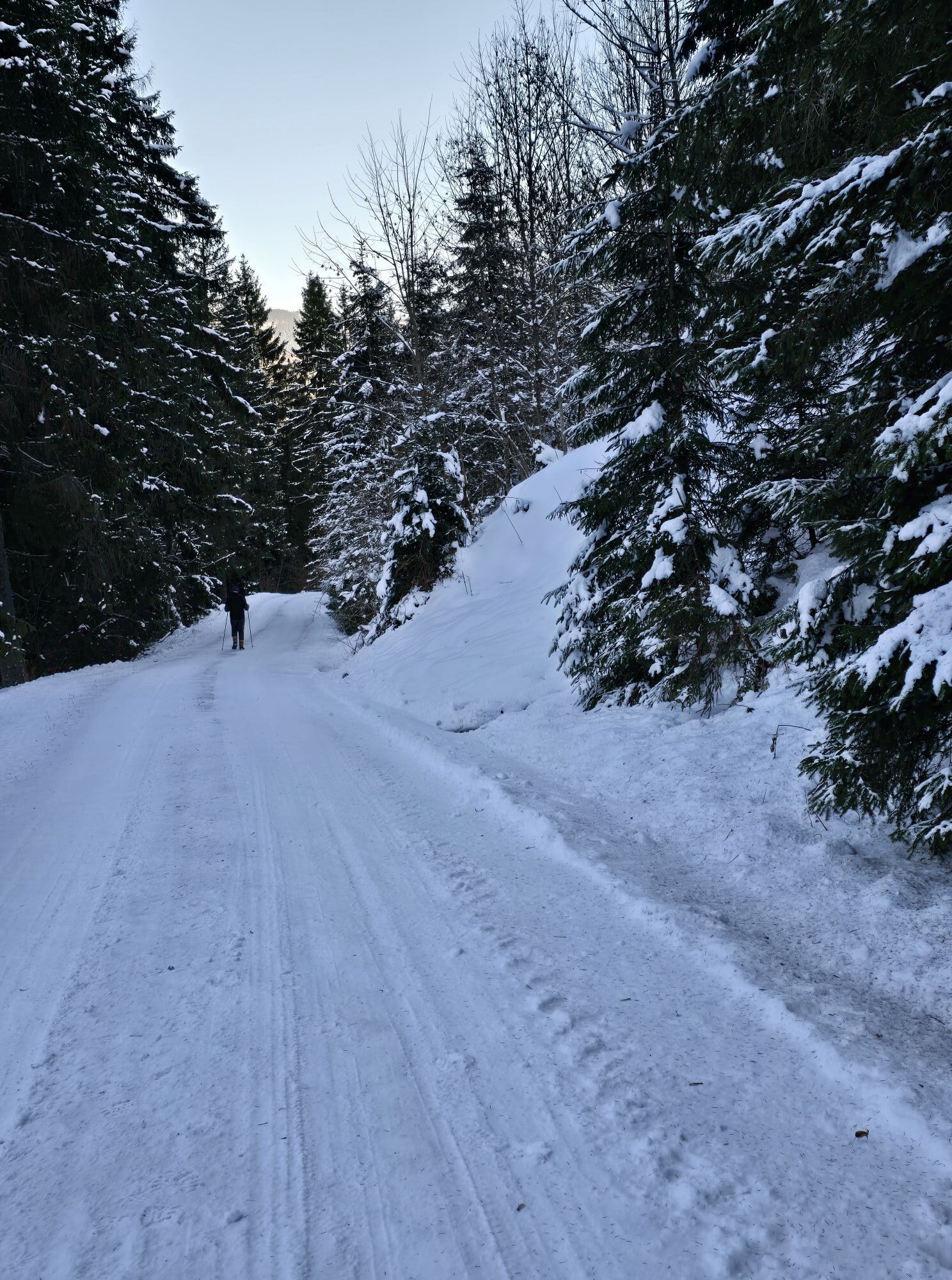
From the starting point, follow the Glockner road for about 1 km towards Fusch. At road kilometre 1.3 (between the houses), turn right and follow the signs uphill towards Bruckerberg. After a few metres, the gravel road begins, which steadily climbs to the highest point of the route. From the Reiteralm junction, there is a short descent, then you cross the Wachtbergbach and cycle another 100 m uphill. On a short, technically not entirely easy single trail, continue downhill to the Ponyhofalm and then on the farm road further to Judendorf. Follow the cycle path downhill back to the start.
The use of the marked and approved routes/paths is permitted from MAY 1st to NOVEMBER 15th and only at the following times:
May 1 to November 15 2 hours after sunrise until 1 hour before sunsetStay on the marked routes/paths!
The shared rules of conduct ensure that the forest and grazing areas will continue to provide a unique place for recreation, habitat, and workplace for everyone in the future.
Your behaviour influences public opinion and tolerance.
By mountain bike: From Piesendorf Niedernsill, follow the well-signposted Tauern cycle path to Bruck.
If you haven't had enough at the Ponyalm, you can add a few more altitude meters to the Schnableralm.
 Uzyskaj wgląd
Zawsze na żywo z ponad 9 500 kamer internetowych. bergfex Jako użytkownik Pro, możesz teraz zobaczyć odpowiednie kamery internetowe dla wielu wycieczek w aplikacji wycieczki od. Pozwala to na bezpośredni podgląd aktualnych warunków.
Uzyskaj wgląd
Zawsze na żywo z ponad 9 500 kamer internetowych. bergfex Jako użytkownik Pro, możesz teraz zobaczyć odpowiednie kamery internetowe dla wielu wycieczek w aplikacji wycieczki od. Pozwala to na bezpośredni podgląd aktualnych warunków.


Popularne wycieczki w okolicy
-
4,3
Schwalbenwand Nr. 80, 81, 82
średniWędrówka 13,0 km -
4,8
Highlight Kitzlochklamm Classic round
średniWędrówka 2,02 km -
4,7
Sigmund Thun Klamm, Klammsee, Bürgkogel
światłoWędrówka 4,56 km -
4,2
Maurerkogel (Top)
Wędrówka 10,5 km -
4,9
Hochsonnberg Runde
średniMountainbike 59,8 km -
4,5
Thumersbach, Runde um den Zeller See
światłoWędrówka 13,3 km -
4,4
Sigmund Thun Klamm
światłoWędrówka 3,10 km -
4,2
Hundstein-Runde von Maria Alm
ciężkiMountainbike 44,4 km -
4,9
Großes Wiesbachhorn 3564 mnv Kaprun, Austrija
ciężkiWędrówka 13,4 km -
4,6
3 Oktober Fusch Walcher Grung und Hohalm
średniWędrówka 8,57 km
Wędrówki i tropienie


Nie przegap ofert i inspiracji na następne wakacje
Twój adres e-mail została dodana do listy mailingowej.





