






Sattelbauer-Lackenalmen (SW31 b+c)
Zdjęcia naszych użytkowników
-
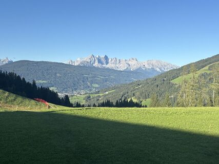
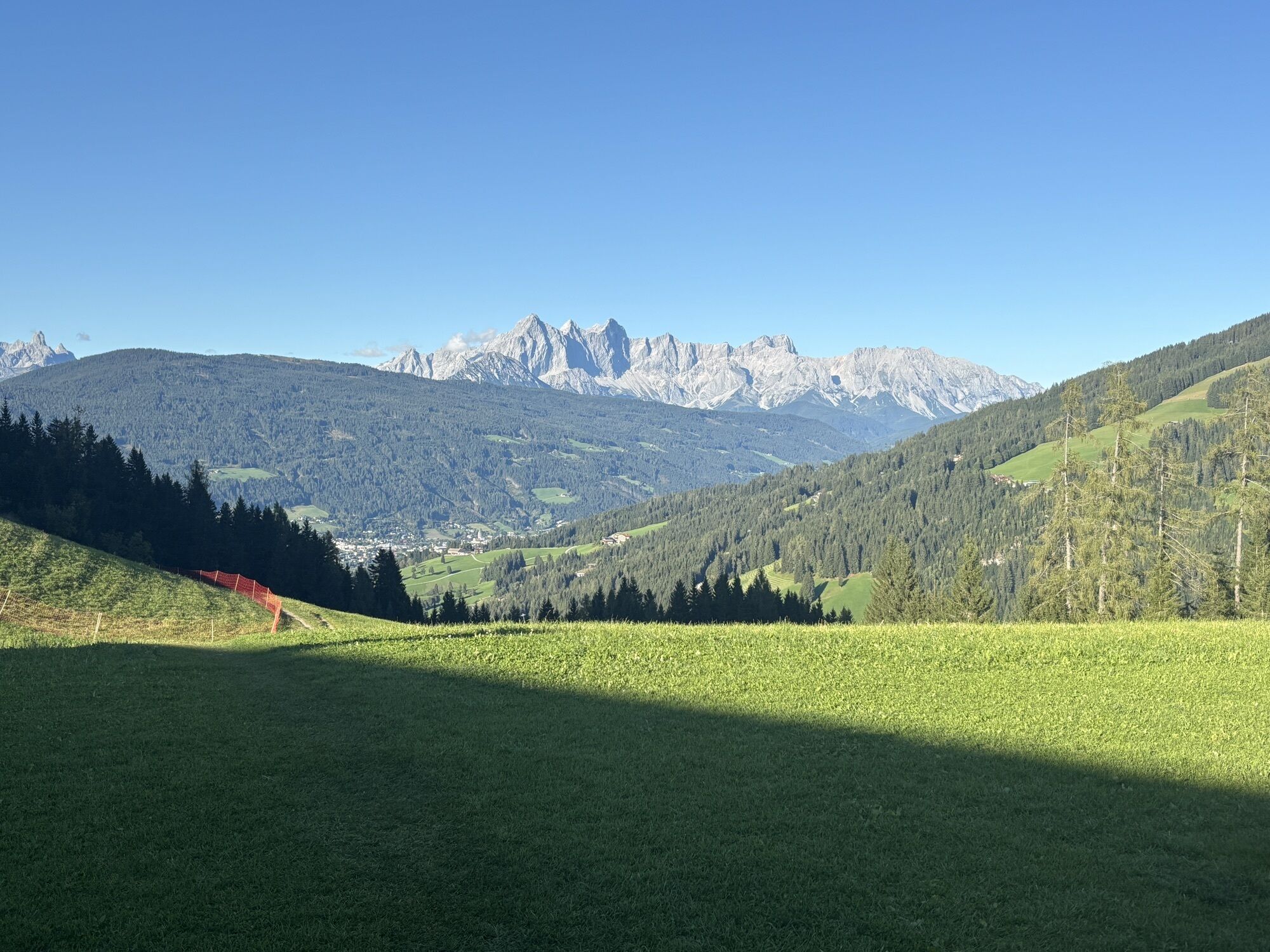
 © Erwin Köppl-PatzaltUtworzono dnia 06.09.2025
 -
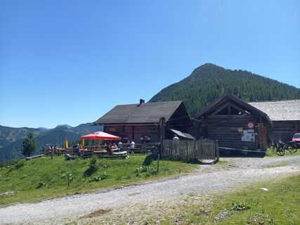
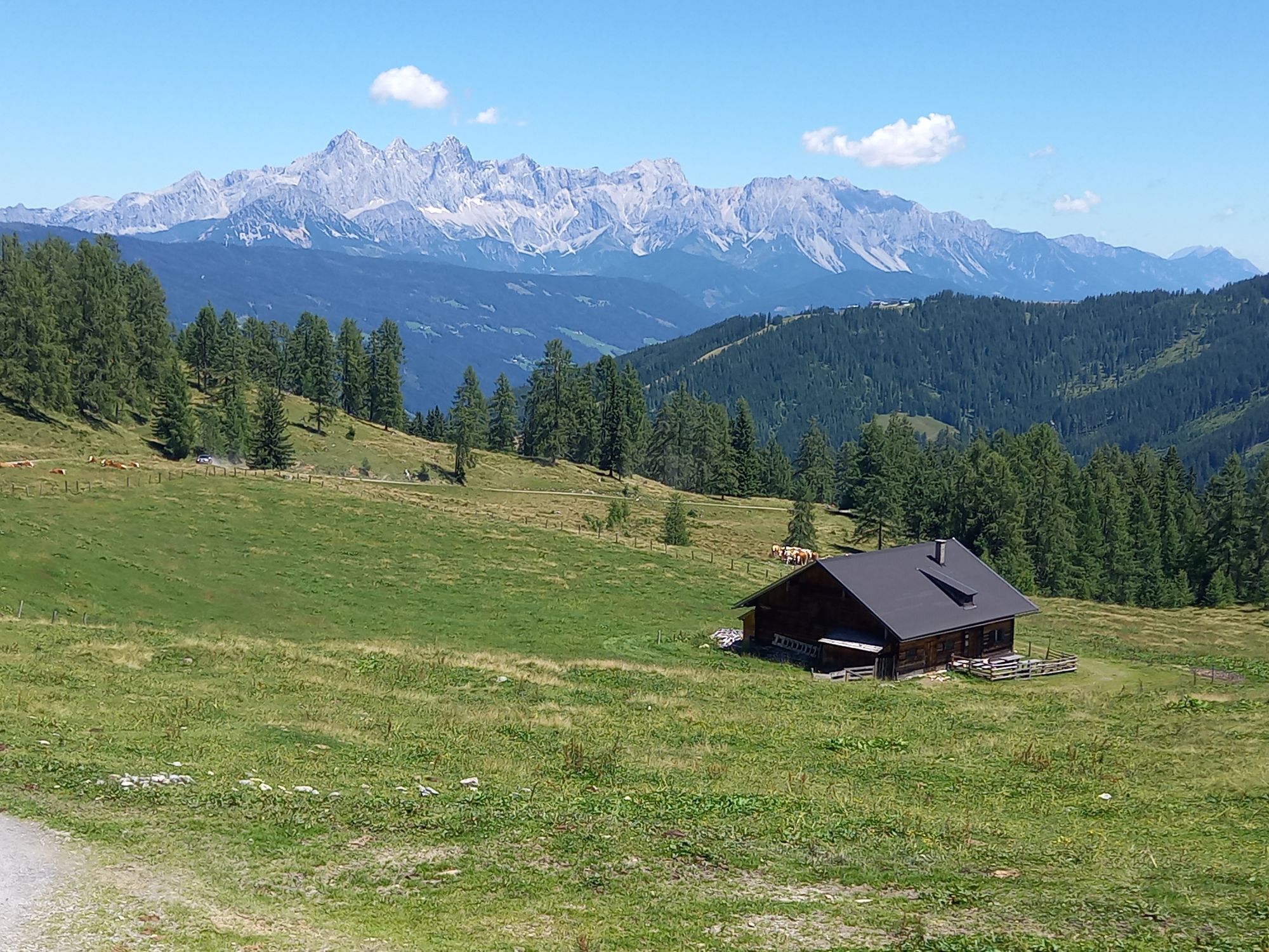
 © koessler1Utworzono dnia 19.07.2025
 -
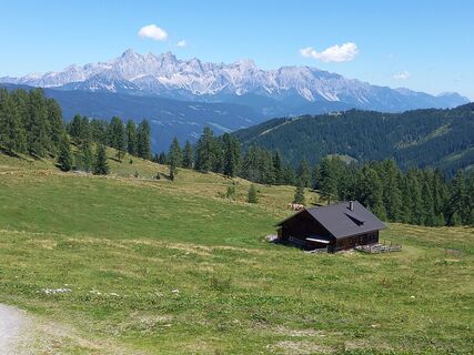 © koessler1Utworzono dnia 19.07.2025
 -
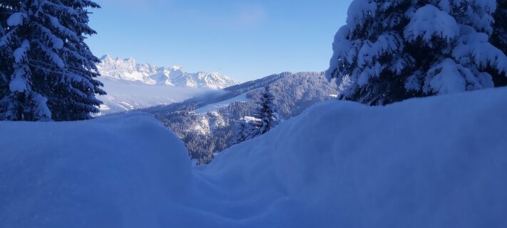
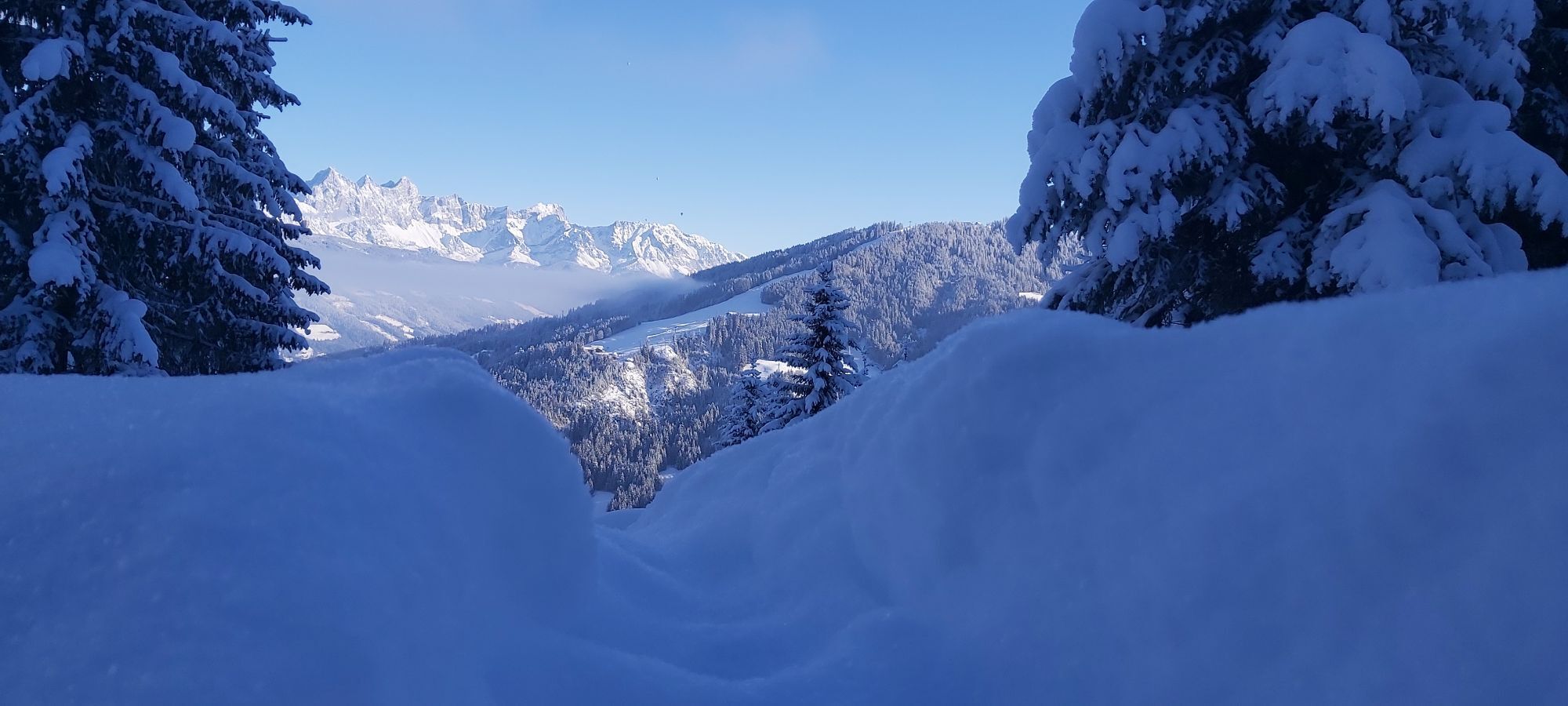
 © lukas gößlerUtworzono dnia 29.01.2023
 -
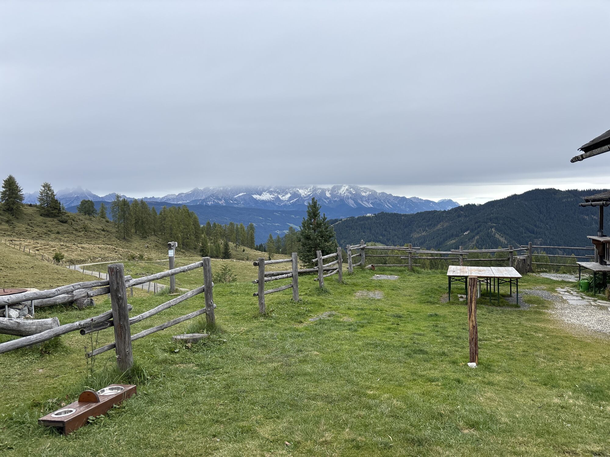
 © Karin ZornUtworzono dnia 04.10.2025
 -
 © Peter RinnerUtworzono dnia 07.07.2025
 -
 © Peter RinnerUtworzono dnia 07.07.2025
 -
 © Peter RinnerUtworzono dnia 07.07.2025

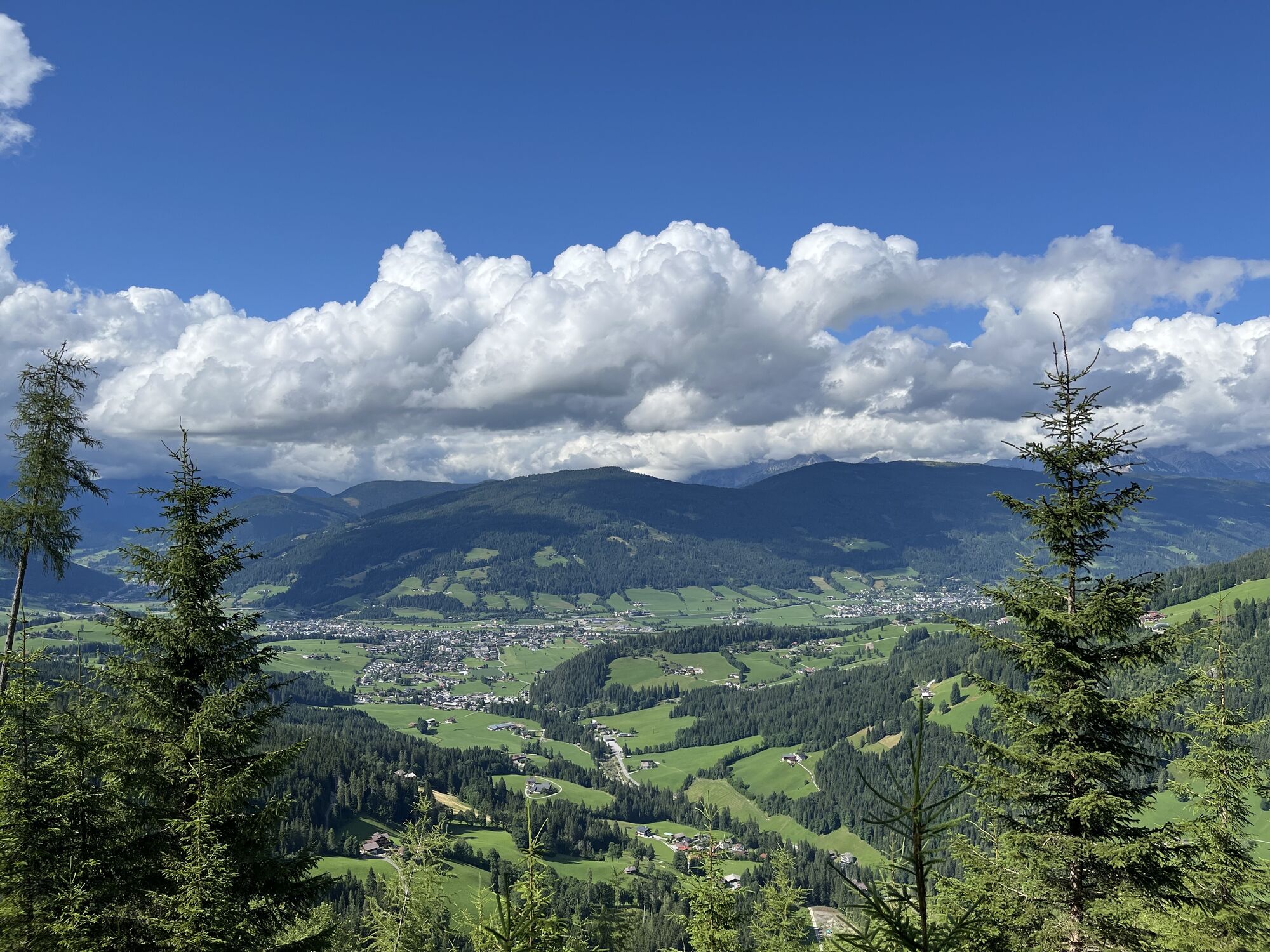
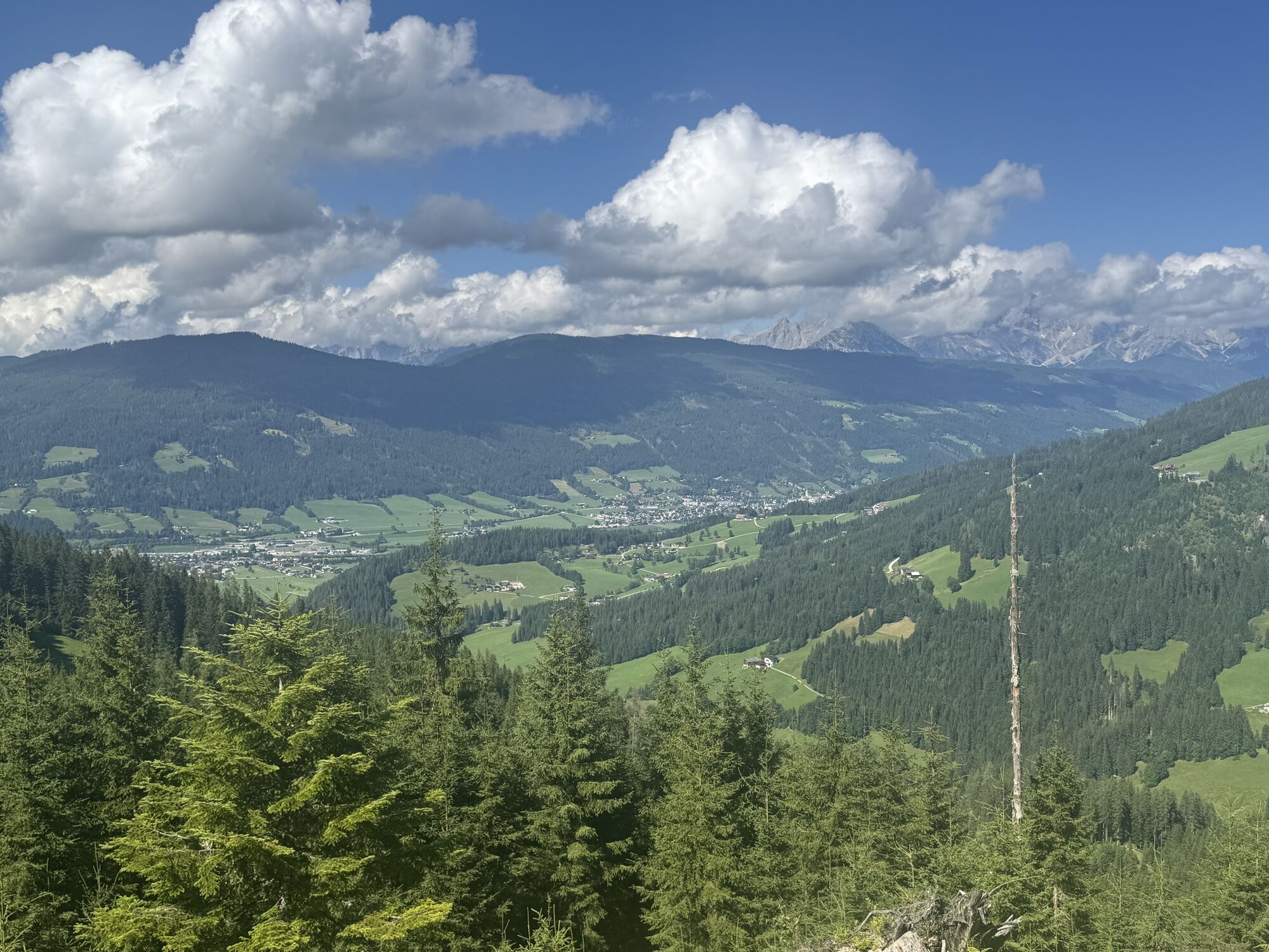
The local and very varied (e) mountain bike route "Sattelbauer-Murleiten SW31 b" is being extended. From the town center, we follow a short section of the Enns cycle path northwards following the SW31...
The local and very varied (e) mountain bike route "Sattelbauer-Murleiten SW31 b" is being extended.
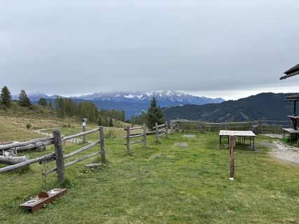
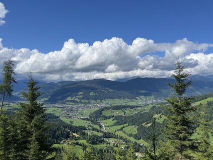
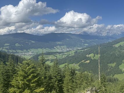
From the town center, we follow a short section of the Enns cycle path northwards following the SW31 b signage, which first leads us over asphalt and then over a very quiet, natural forest path with moderate incline to the mountain inn Sattelbauer. Here awaits the first well-deserved refreshment opportunity and a magnificent view of the Dachstein massif. After a short break, we pass the barrier at Sattelbauer and continue following the SW 31 c signage over a forest road with steep ascents. The effort is rewarded with a great panorama. After a refreshment at the cozy Lackenalm, we go back the same way to Sattelbauer, from where you can choose different descent options towards Flachau (singletrail, forest or asphalt road).
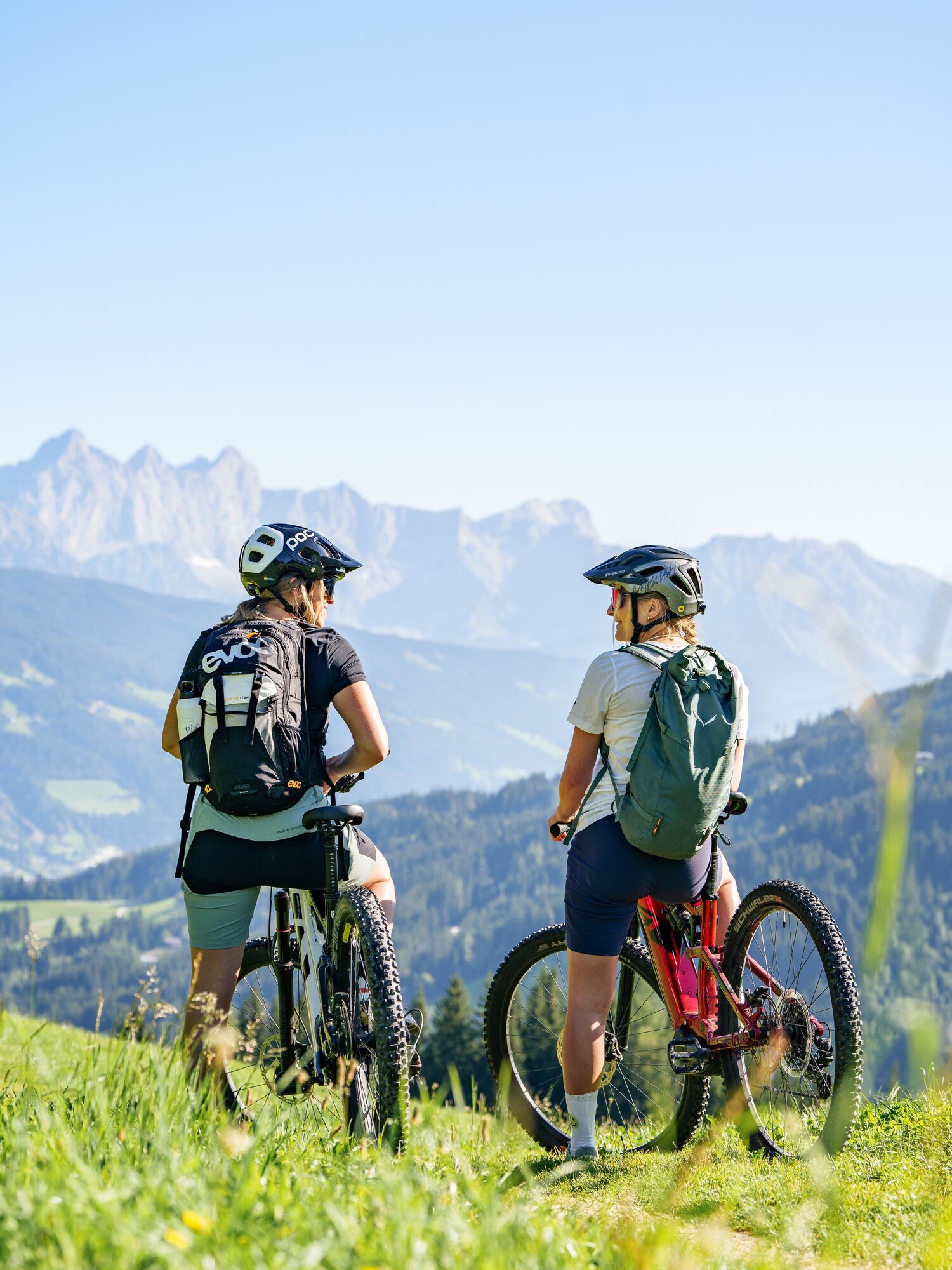

The Berggasthof Sattelbauer and the Lackenalmen alpine huts are ideal refreshment stops along the tour. Both reward the climb with regional specialities and beautiful views. Additional restaurants and cafés are available in Flachau at the start and finish of the route.
The mountain bike route map of the Salzburger Sportwelt at a scale of 1:54,000 is available free of charge at Flachau Tourism.
The basic equipment of a mountain biker includes:
Protective gear
Snacks for in between
Sunglasses, sunscreen or rain protection if necessary
Mobile phone
Check the functionality of your mountain bike before every ride and get information about the weather in advance. For your own safety, wearing a helmet is also recommended.
Parking is available in the town center of Flachau (BBF Center & Minigolf parking lot).
3/6
3/6
The Sattelbauer-Lackenalmen mountain bike route is also e-bike suitable! Charging stations are available in the town center at Flachau Tourism as well as at the mountain inn Sattelbauer.
More about mountain biking in Flachau can be found at: www.flachau.com/bikeurlaub
Information about the weather on site: www.flachau.com
Uzyskaj wgląd
Zawsze na żywo z ponad 9 500 kamer internetowych. bergfex Jako użytkownik Pro, możesz teraz zobaczyć odpowiednie kamery internetowe dla wielu wycieczek w aplikacji wycieczki od. Pozwala to na bezpośredni podgląd aktualnych warunków.
Popularne wycieczki w okolicy
-
4,6
Ski route Lackenkogel
średniWycieczka narciarska 7,82 km -
4,8
Obertauern to the Johannes Waterfall
średniWędrówka 9,39 km -
4,1
Reiteralm Höhen-Rundweg
średniWędrówka 5,79 km -
4,2
Großarl: Unterwandalm - Karseggalm - Breitenebenalm
średniWędrówka 5,93 km -
4,3
Ski tour Red 8er Wagrain
średniWycieczka narciarska 4,12 km -
5,0
Strimskogel-Runde
Wędrówka 13 km -
3,6
Salzburger Gipfelspiel: To the Gerzkopf and the Schwarzen Lacke
średniWędrówka 8,39 km -
5,0
Forstau - Rippetegg / Reiteralm
średniWędrówka 13,9 km -
4,3
Glöcknerin
ciężkiWędrówka 5,60 km -
4,2
Ennskraxn (2410m)
ciężkiWędrówka 14,7 km
Wędrówki i tropienie


Nie przegap ofert i inspiracji na następne wakacje
Twój adres e-mail została dodana do listy mailingowej.





