






KA2 |Tour Lechnerberg
Once you have reached the highest point of the Guggenbichl Tour at 913 metres above sea level, this alternative trail leads to the right and along the forest road further uphill to the Lechnerberg. The...
Once you have reached the highest point of the Guggenbichl Tour at 913 metres above sea level, this alternative trail leads to the right and along the forest road further uphill to the Lechnerberg. The ascent on the well-prepared surface is surprisingly easy to master, and the 200 metres in altitude are soon accomplished. Shortly after the third hairpin bend, there is a beautiful vantage point with a view of the village and the Salzachtal valley. Continuing from this resting place, the trail leads almost flat to the turning point at 1,135 metres above sea level. The diverse downhill fun then begins after a sharp left-hand bend: here, between gravel paths and meadow sections, tractor furrows can be found from time to time, but these tend to contribute to the biking fun. When you reach the intersection where the ascent began, the route turns right onto a meadow directly after the T-bar lift. This section resembles a trail with some technique requirements and provides a little challenge at the end before the route rejoins the KA1 Guggenbichl Tour.

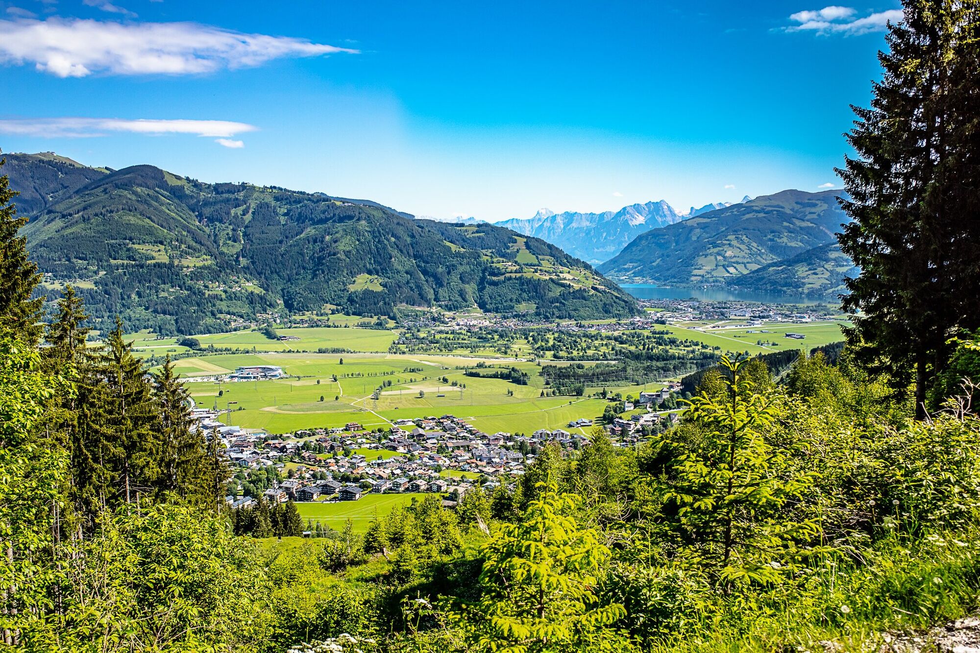
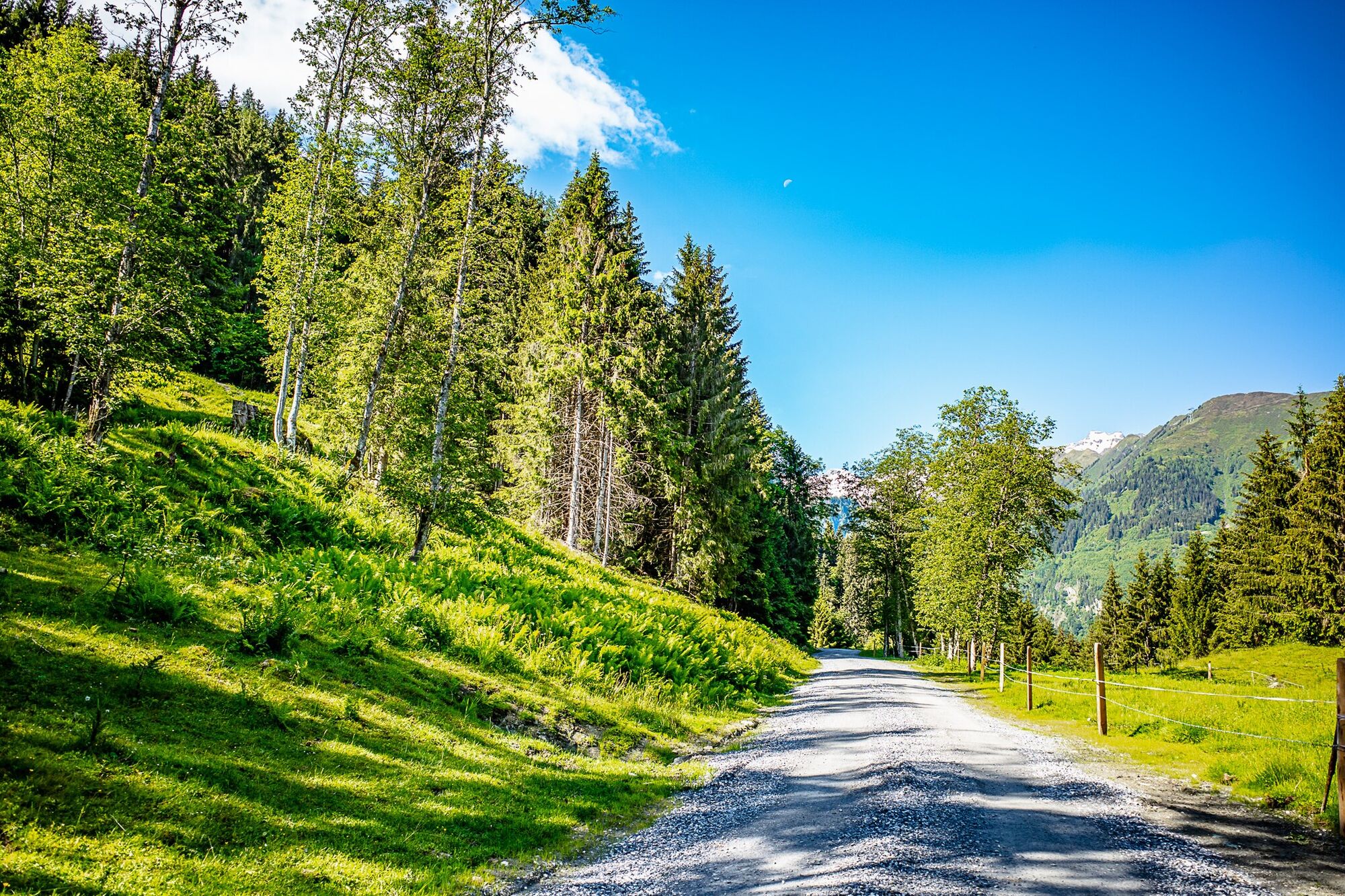
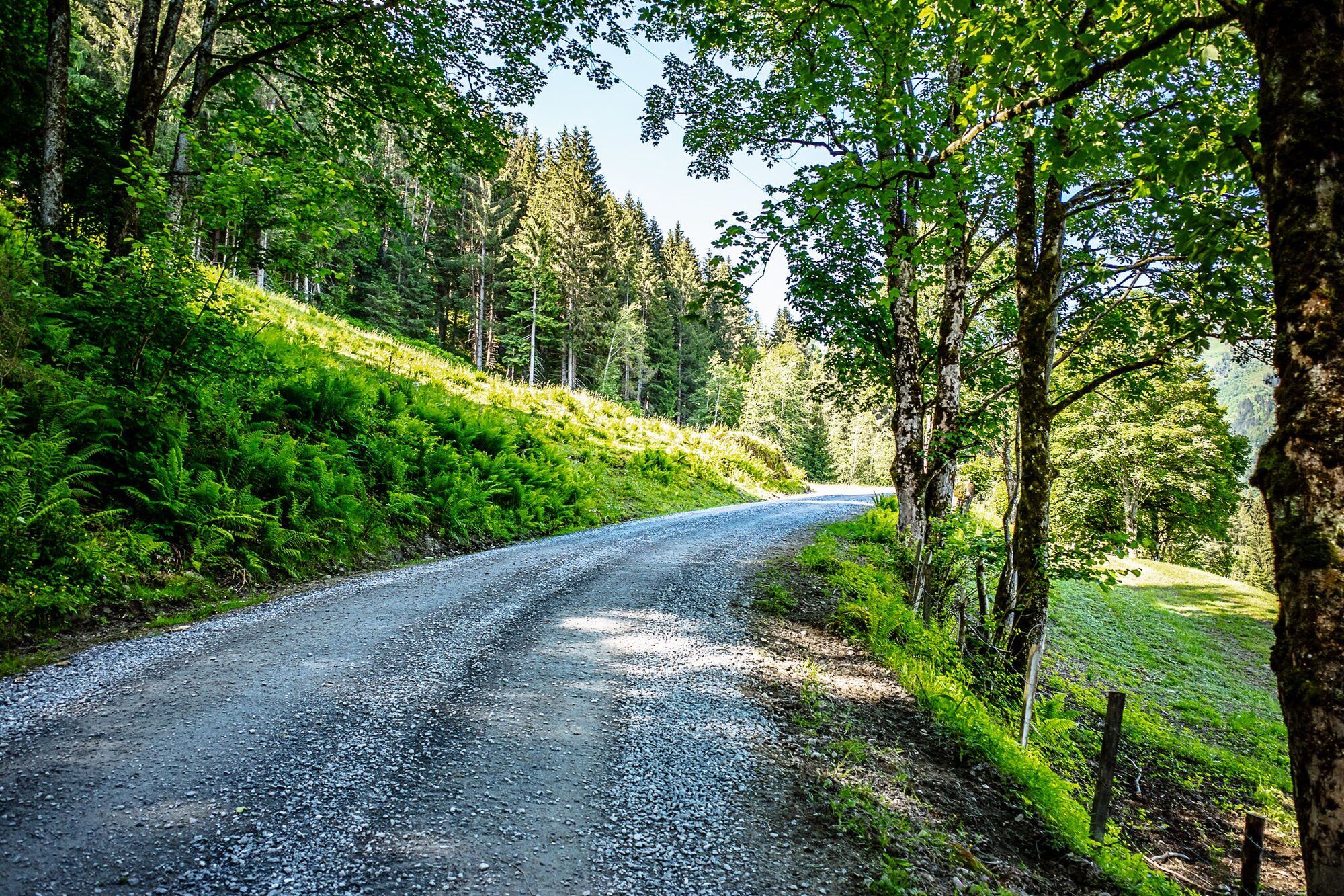
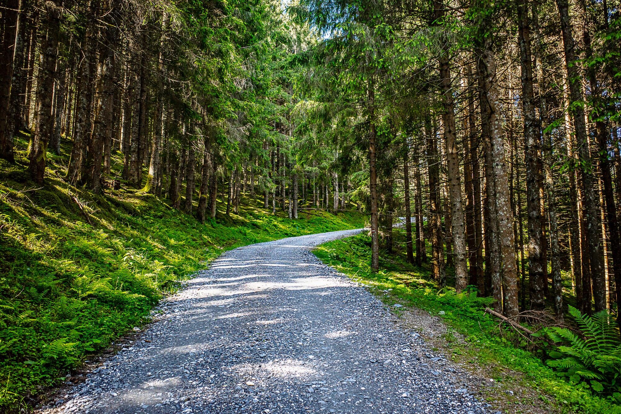

Once you have reached the highest point of the Guggenbichl Tour at 913 metres above sea level, this alternative trail leads to the right and along the forest road further uphill to the Lechnerberg. The ascent on the well-prepared surface is surprisingly easy to master, and the 200 metres in altitude are soon accomplished. Shortly after the third hairpin bend, there is a beautiful vantage point with a view of the village and the Salzachtal valley. Continuing from this resting place, the trail leads almost flat to the turning point at 1,135 metres above sea level. The diverse downhill fun then begins after a sharp left-hand bend: here, between gravel paths and meadow sections, tractor furrows can be found from time to time, but these tend to contribute to the biking fun. When you reach the intersection where the ascent began, the route turns right onto a meadow directly after the T-bar lift. This section resembles a trail with some technique requirements and provides a little challenge at the end before the route rejoins the KA1 Guggenbichl Tour.
Erste Hilfe- und Reifenpannenset
train station Zell am See
at Kaprun Centre near MK Maiskogel cable car station
Uzyskaj wgląd
Zawsze na żywo z ponad 9 500 kamer internetowych. bergfex Jako użytkownik Pro, możesz teraz zobaczyć odpowiednie kamery internetowe dla wielu wycieczek w aplikacji wycieczki od. Pozwala to na bezpośredni podgląd aktualnych warunków.
Popularne wycieczki w okolicy
-
4,3
Schwalbenwand Nr. 80, 81, 82
średniWędrówka 13,0 km -
4,7
Sigmund Thun Klamm, Klammsee, Bürgkogel
światłoWędrówka 4,56 km -
4,2
Maurerkogel (Top)
Wędrówka 10,5 km -
4,9
Hochsonnberg Runde
średniMountainbike 59,8 km -
4,5
Thumersbach, Runde um den Zeller See
światłoWędrówka 13,3 km -
4,4
Sigmund Thun Klamm
światłoWędrówka 3,10 km -
4,2
Hundstein-Runde von Maria Alm
ciężkiMountainbike 44,4 km -
4,9
Großes Wiesbachhorn 3564 mnv Kaprun, Austrija
ciężkiWędrówka 13,4 km -
4,6
3 Oktober Fusch Walcher Grung und Hohalm
średniWędrówka 8,57 km -
4,6
Panorama route 3 peaks and 2 lakes
średniWędrówka 7,21 km
Wędrówki i tropienie


Nie przegap ofert i inspiracji na następne wakacje
Twój adres e-mail została dodana do listy mailingowej.





