







Dachsteinrunde Classic

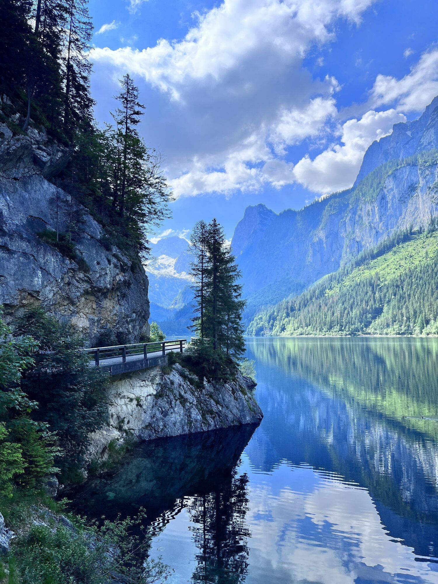


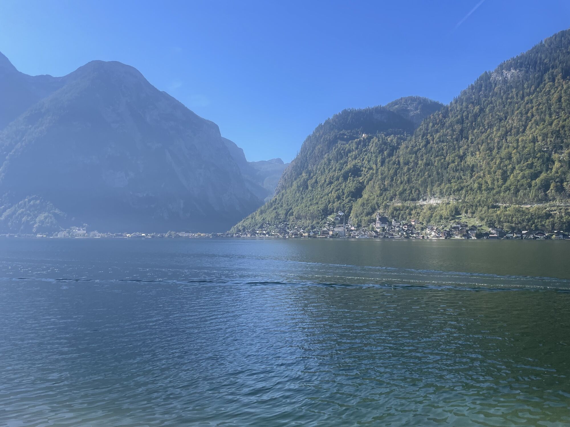
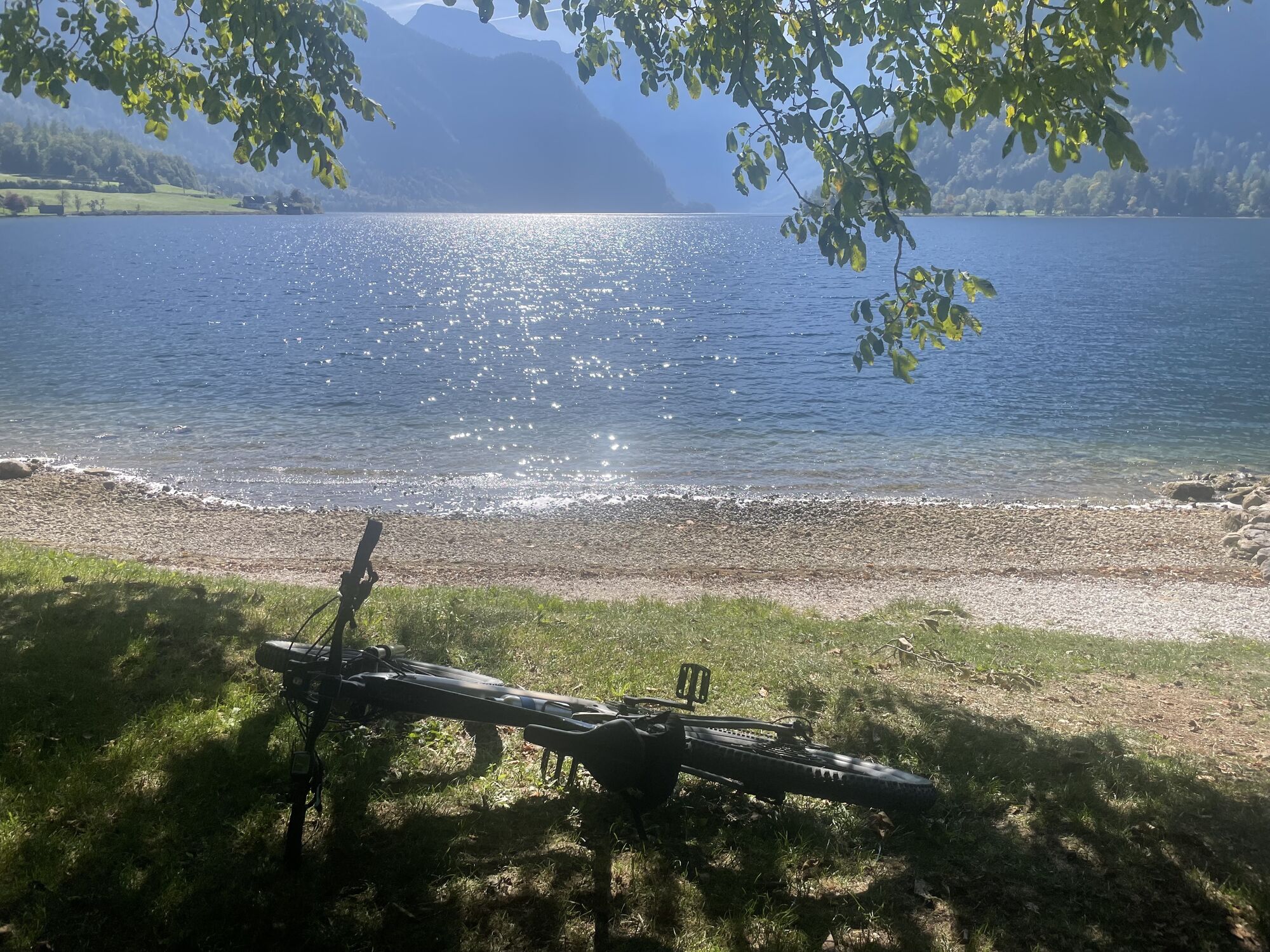
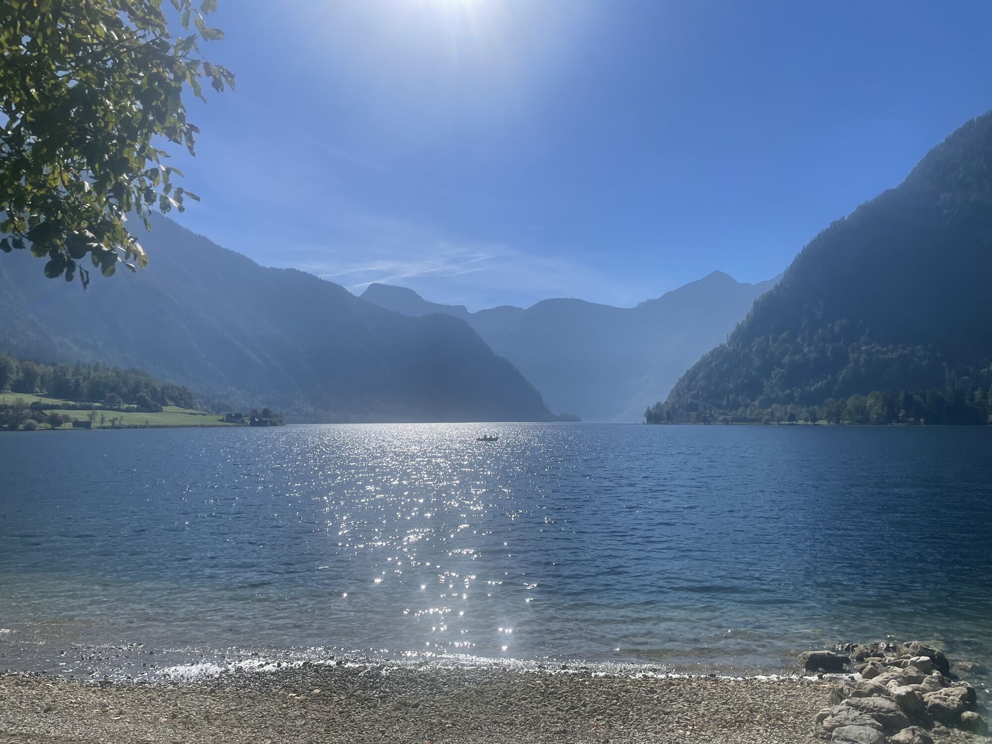
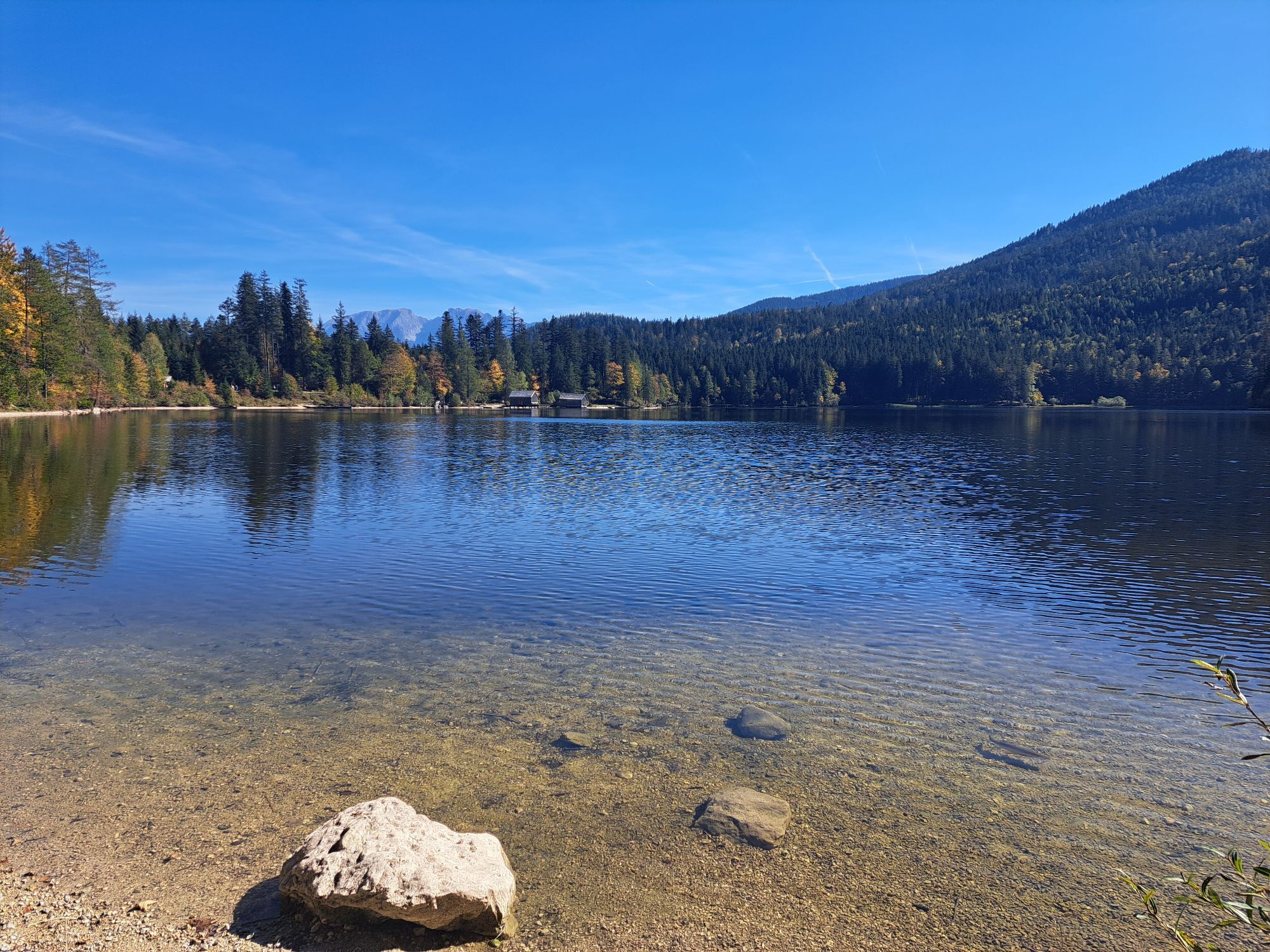
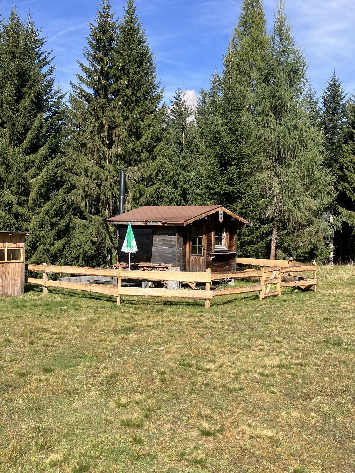
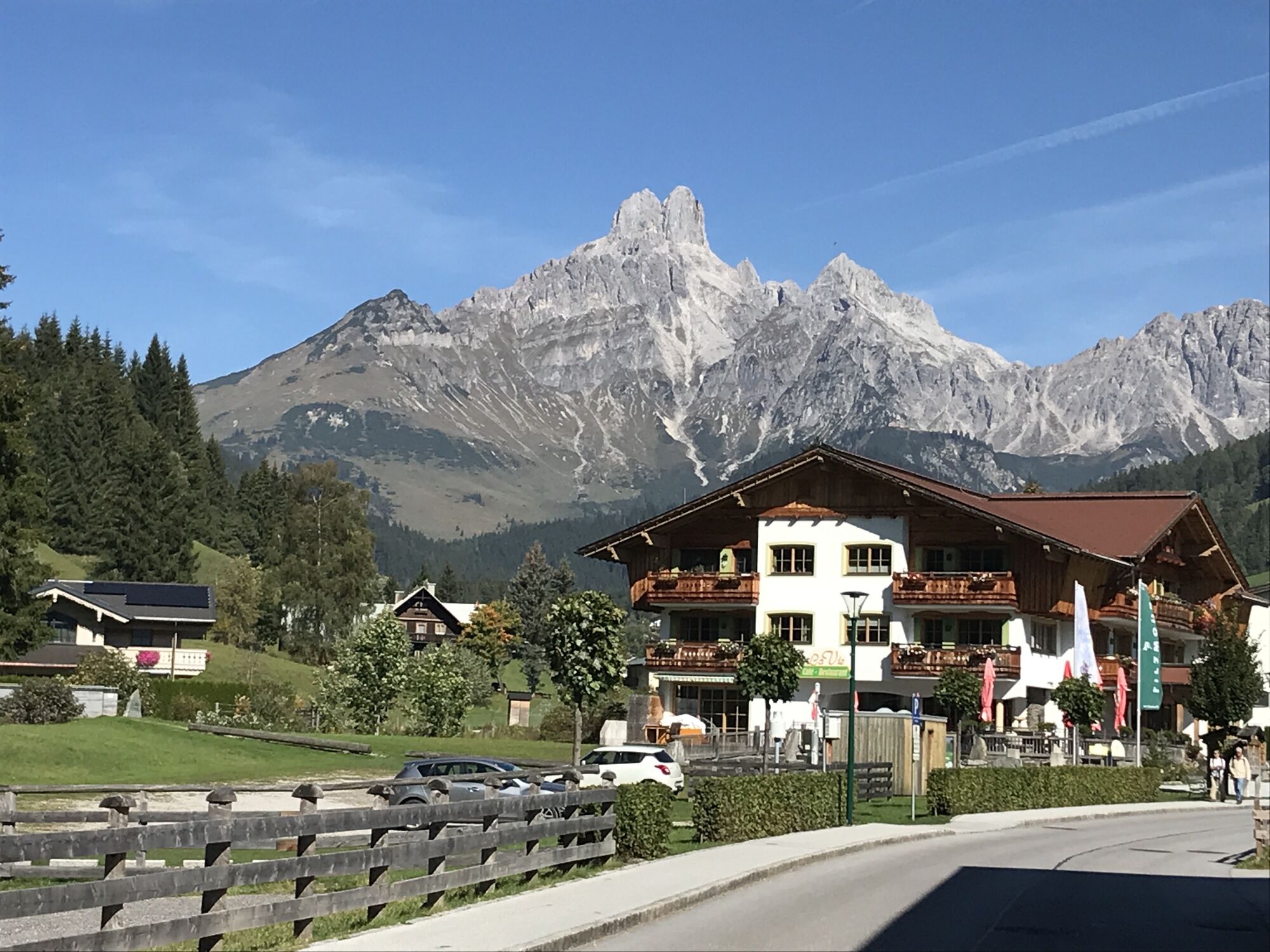
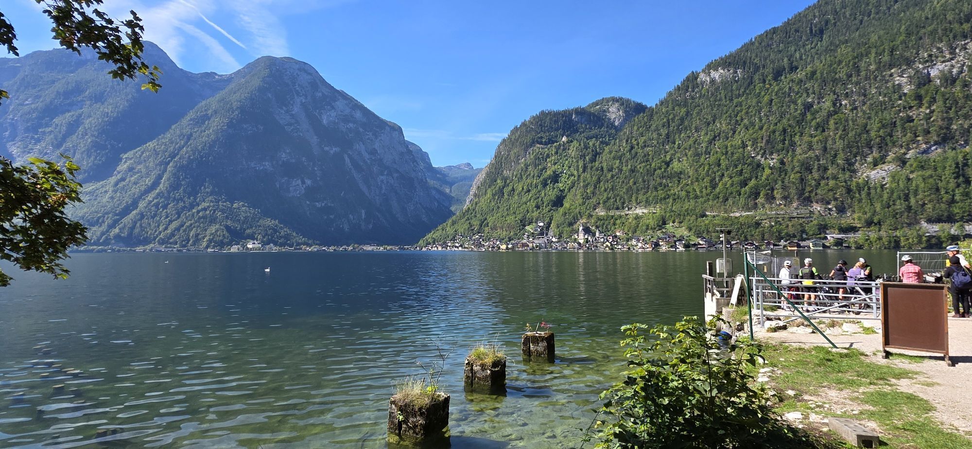
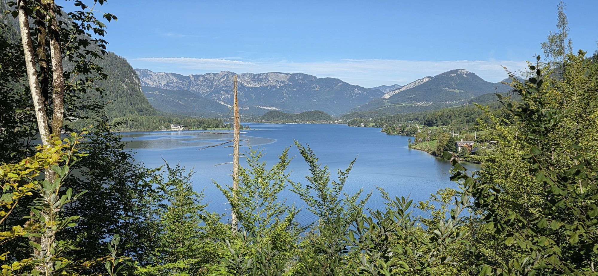
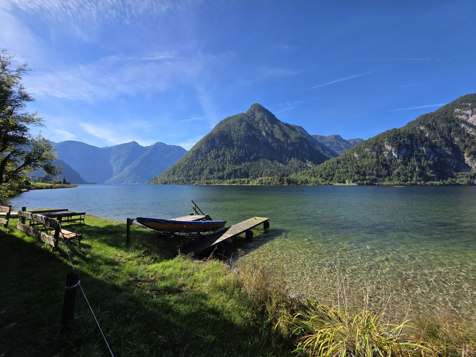
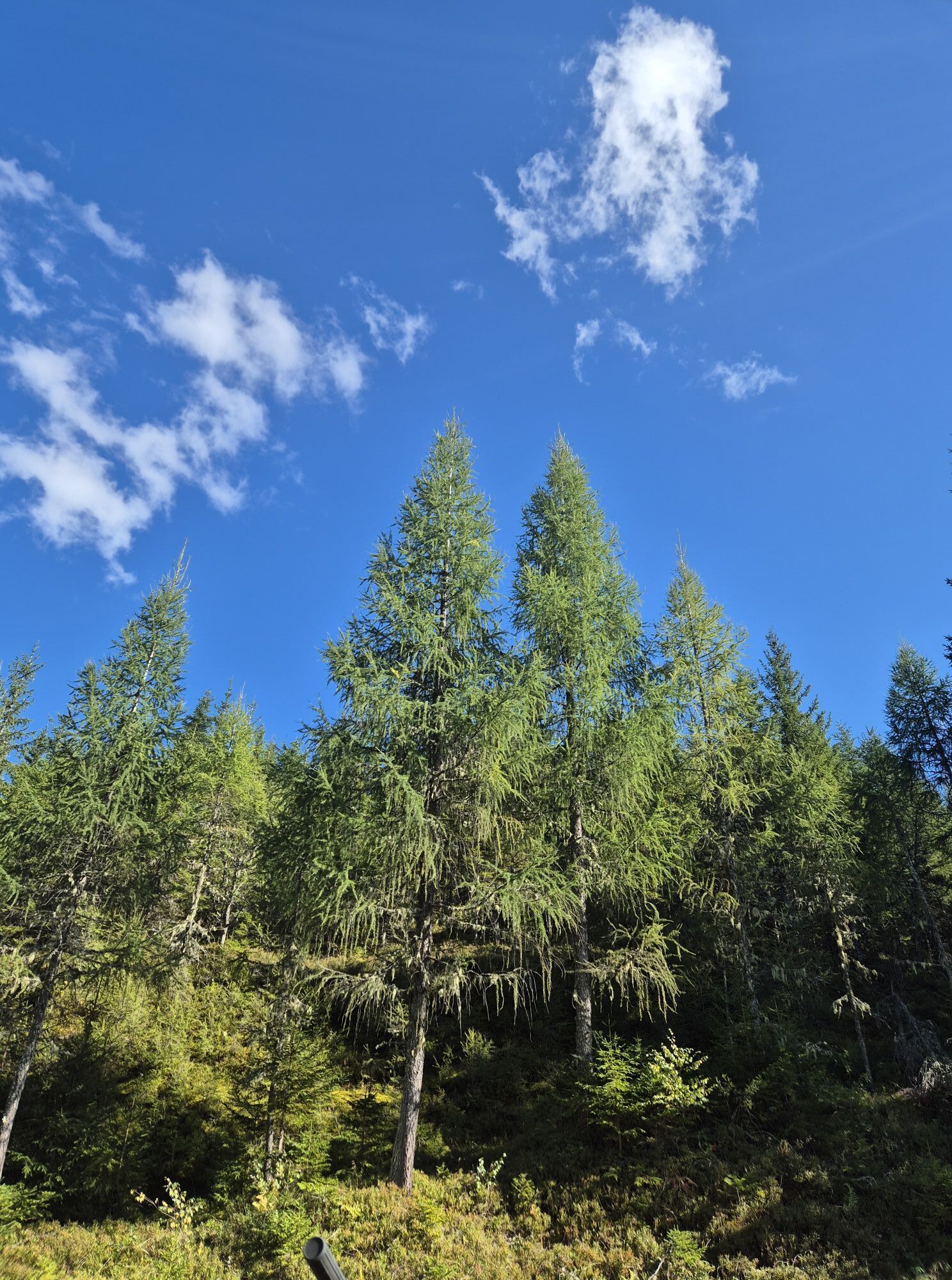
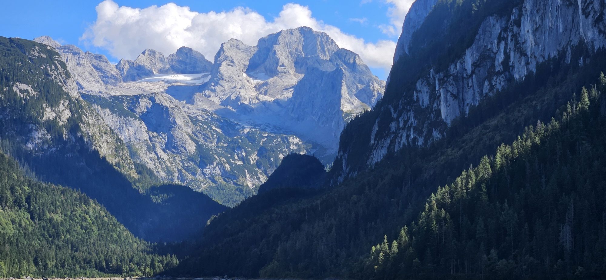
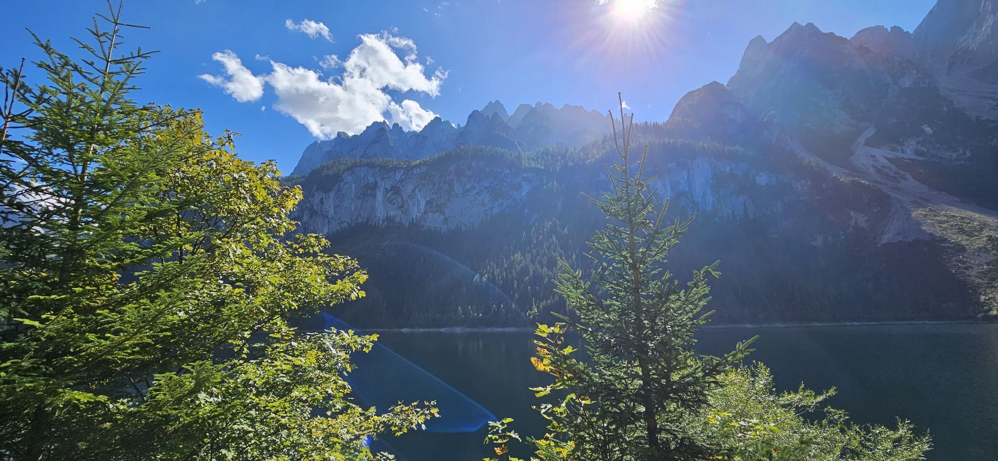
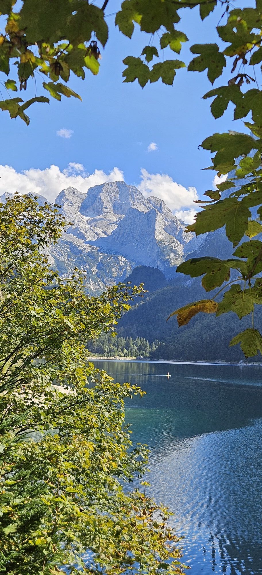
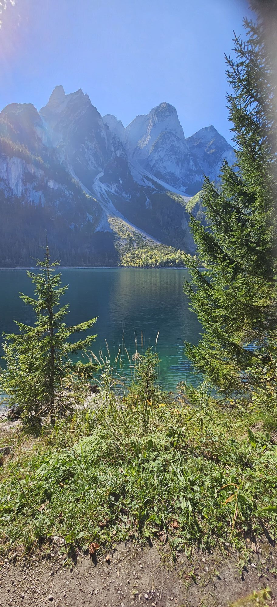
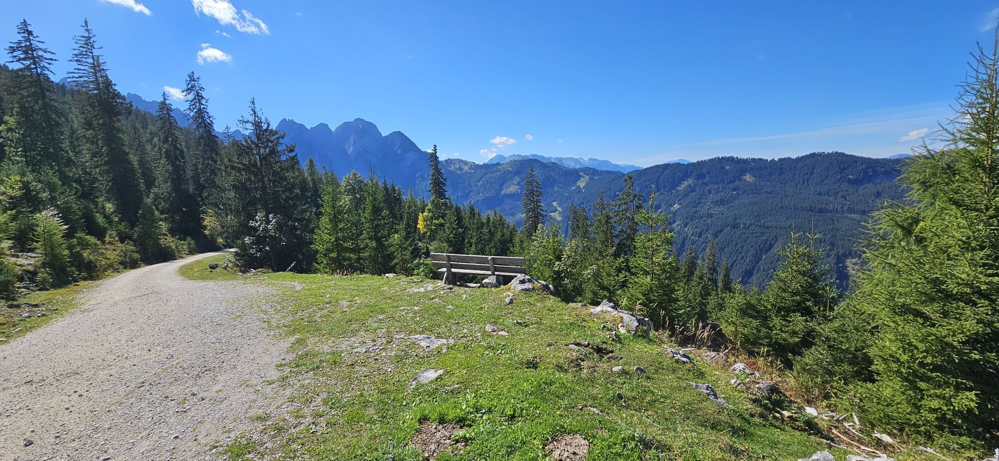
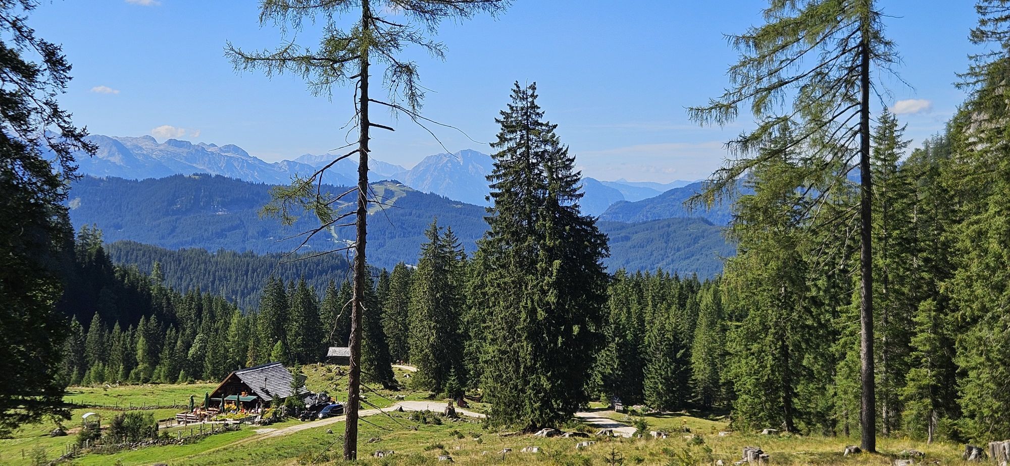
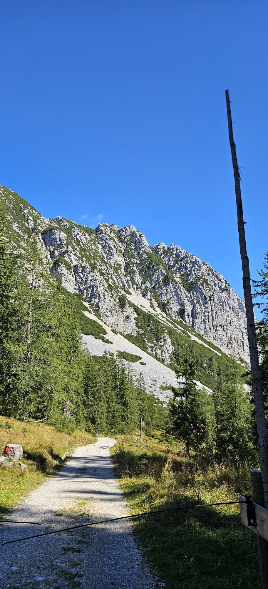
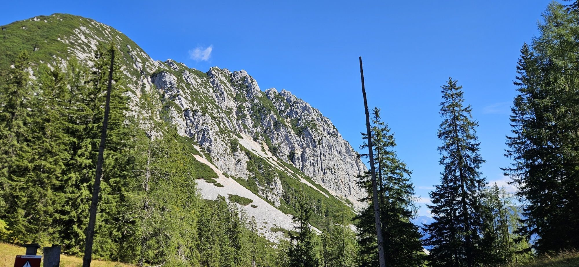
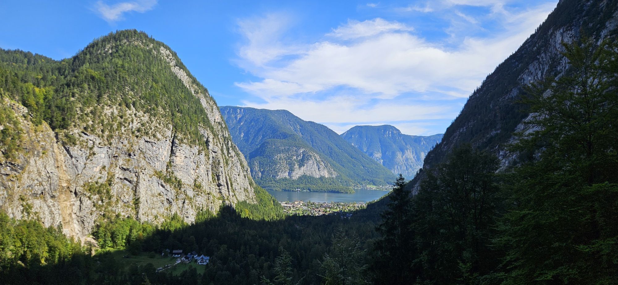
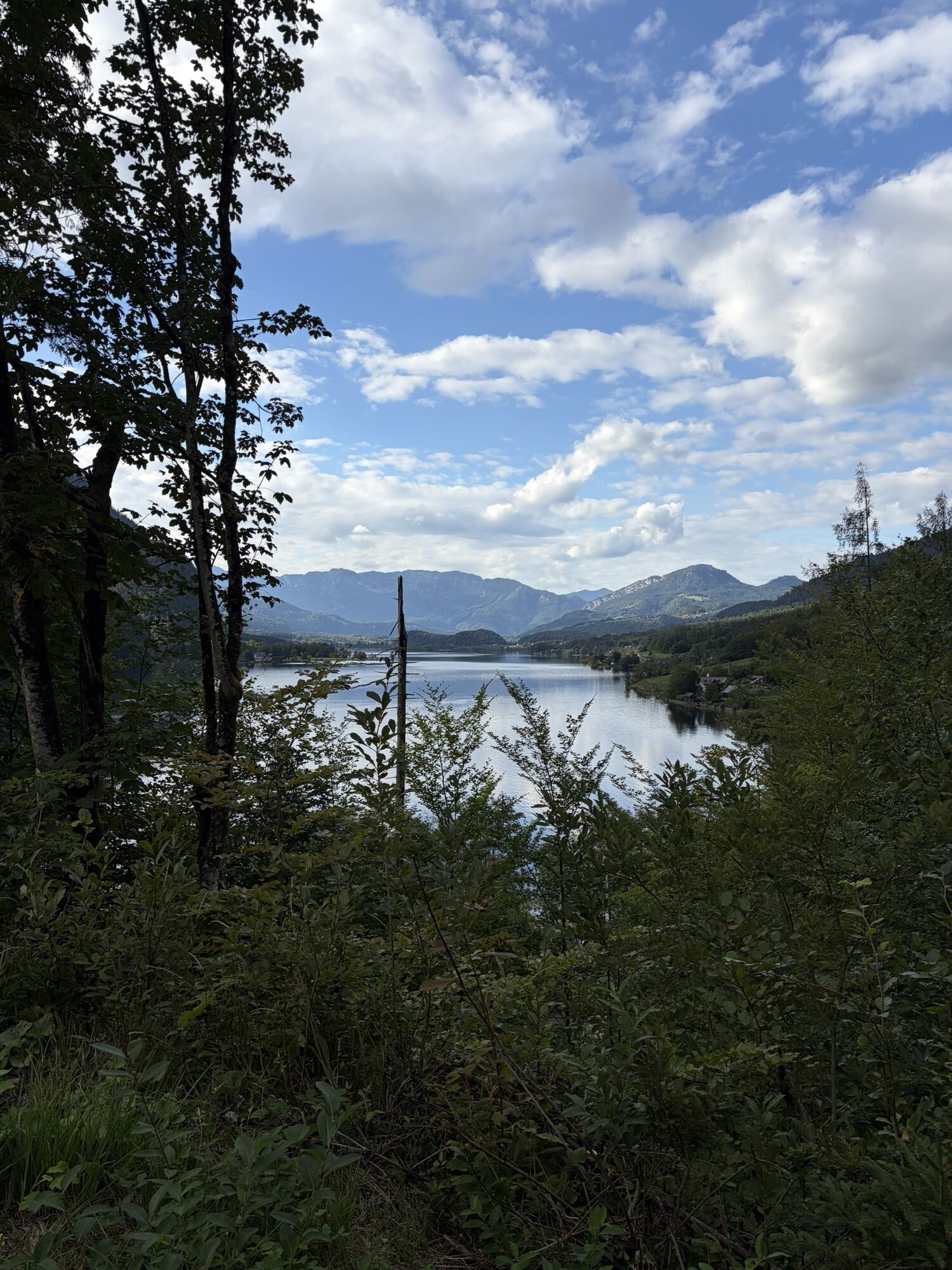
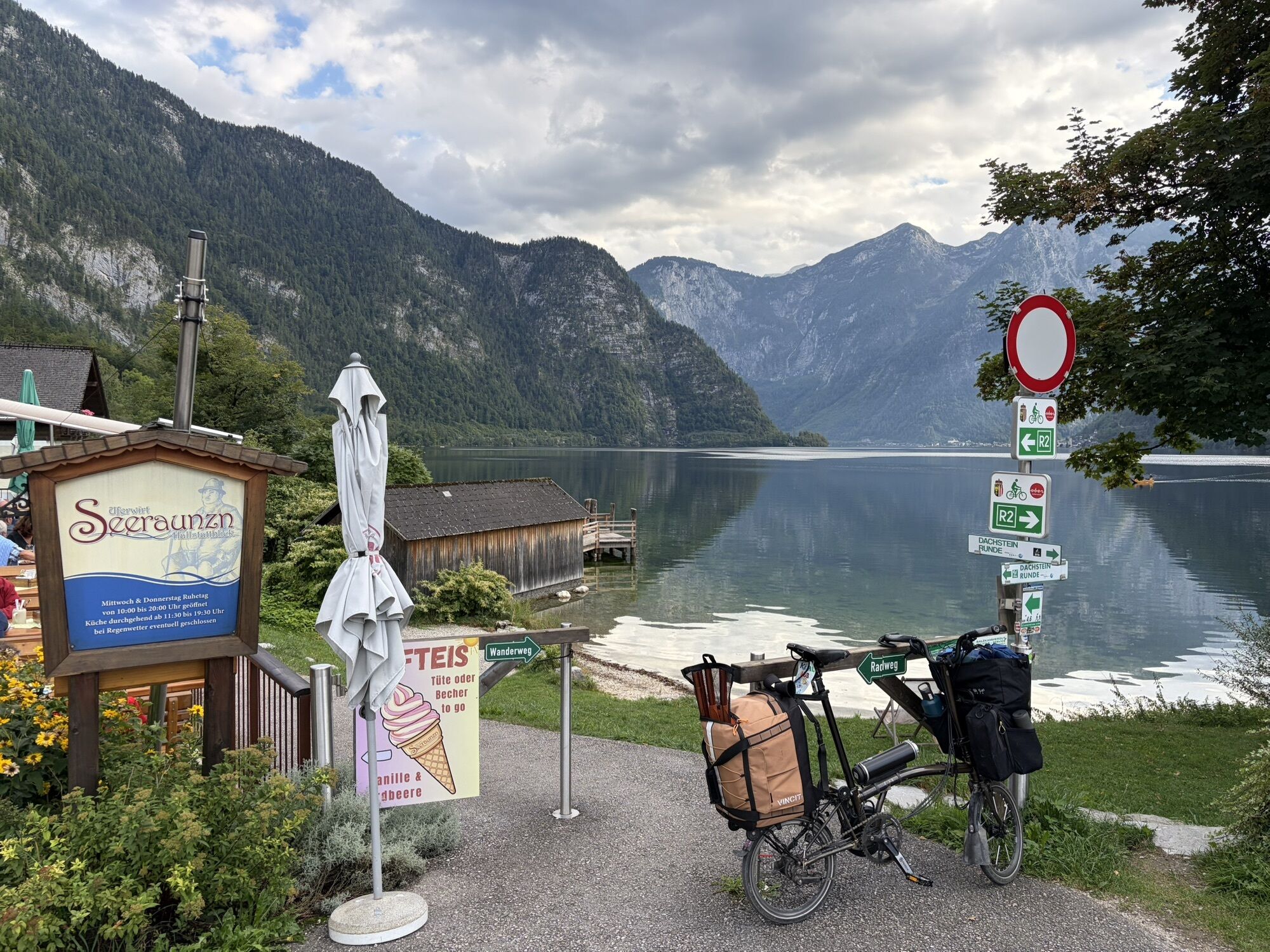
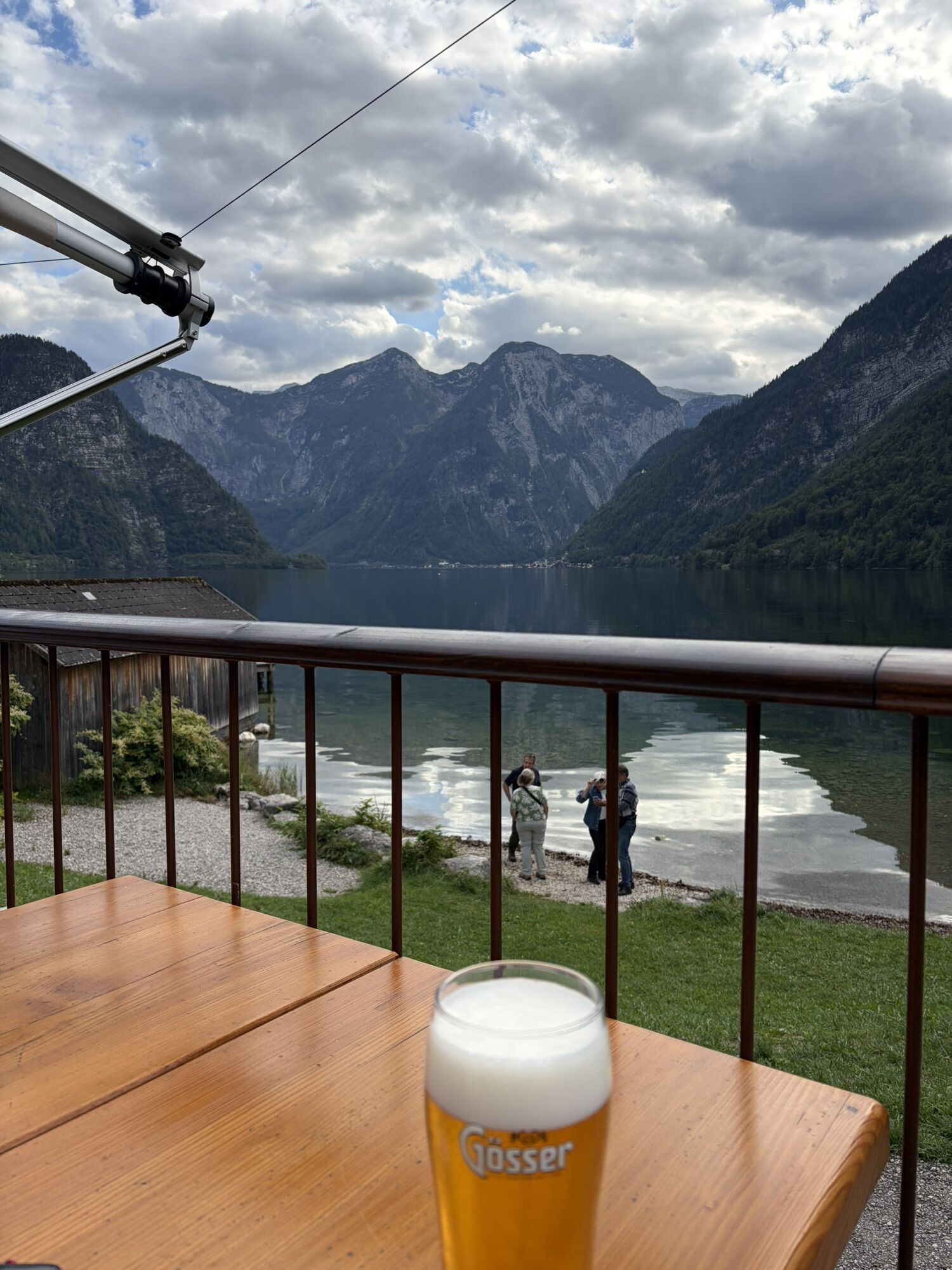
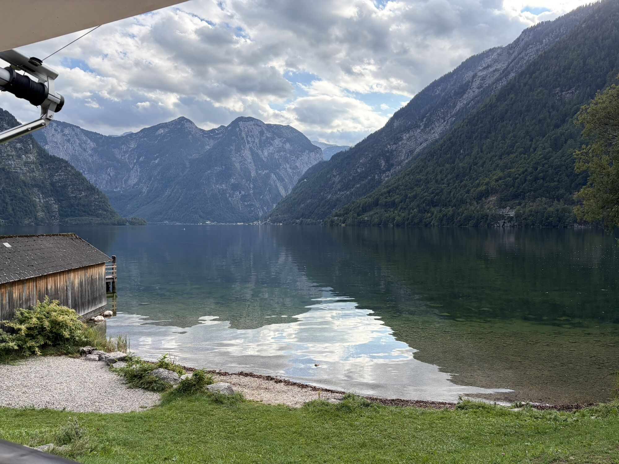
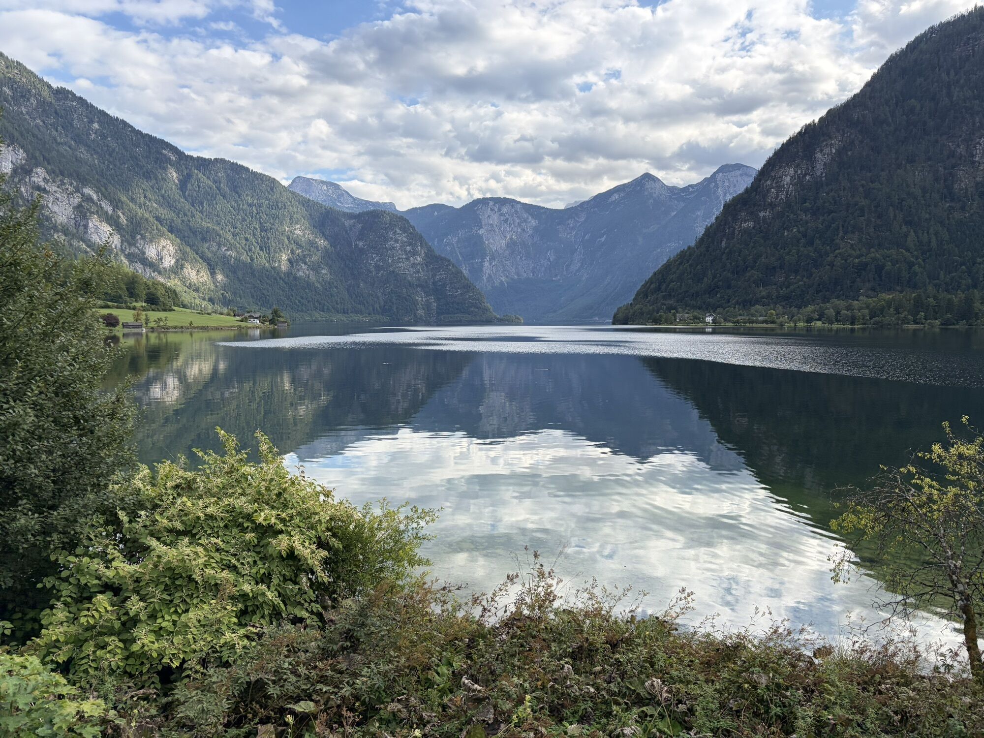
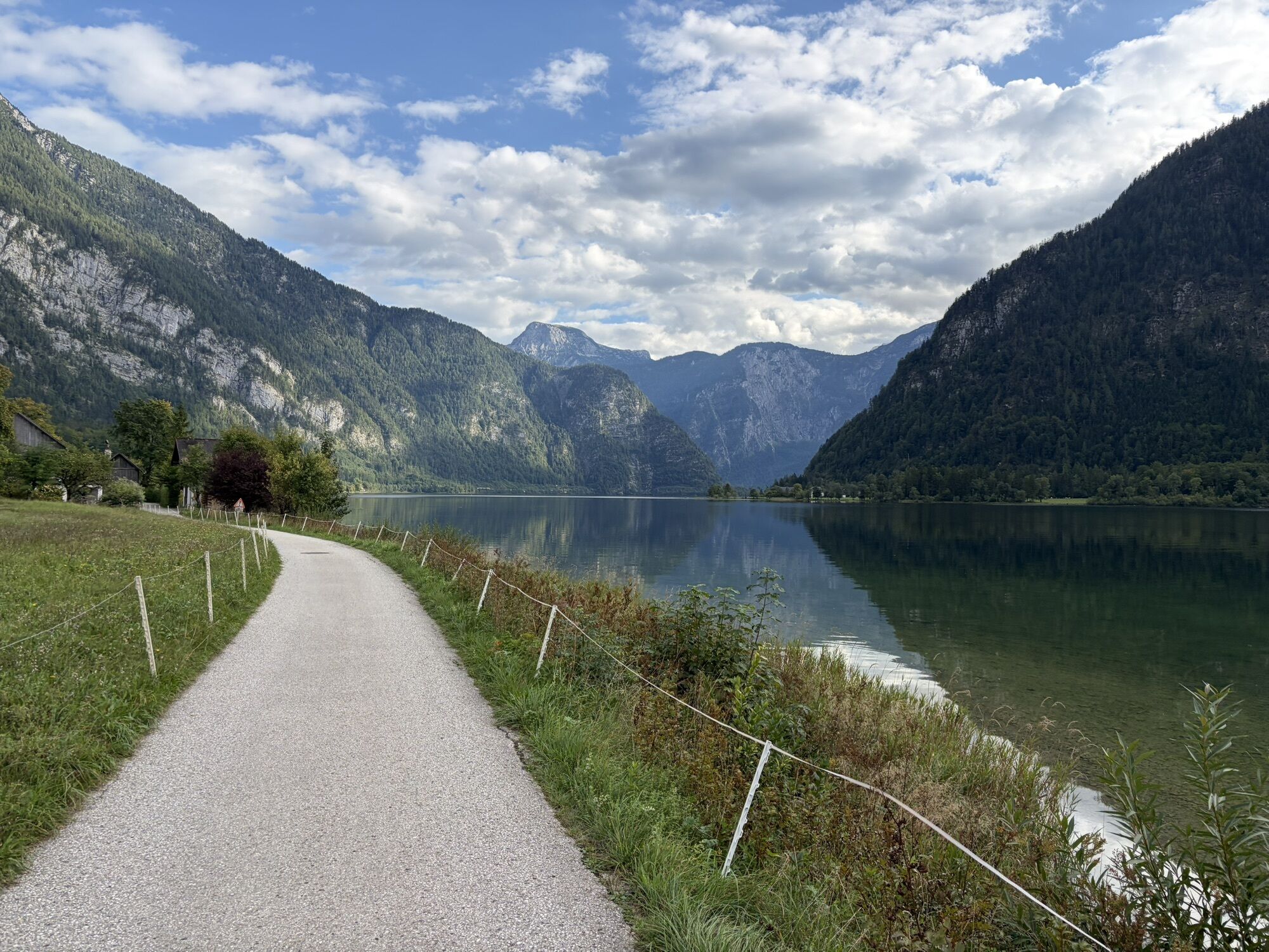
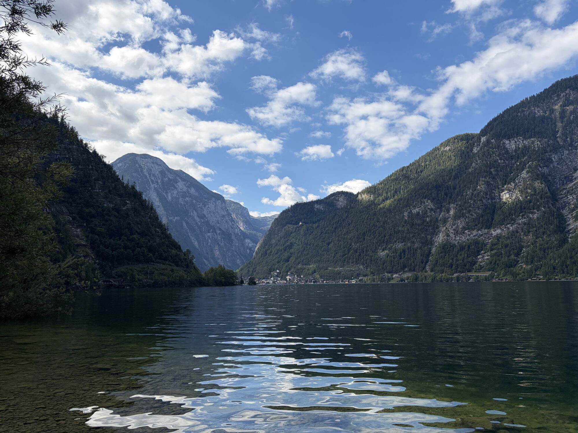
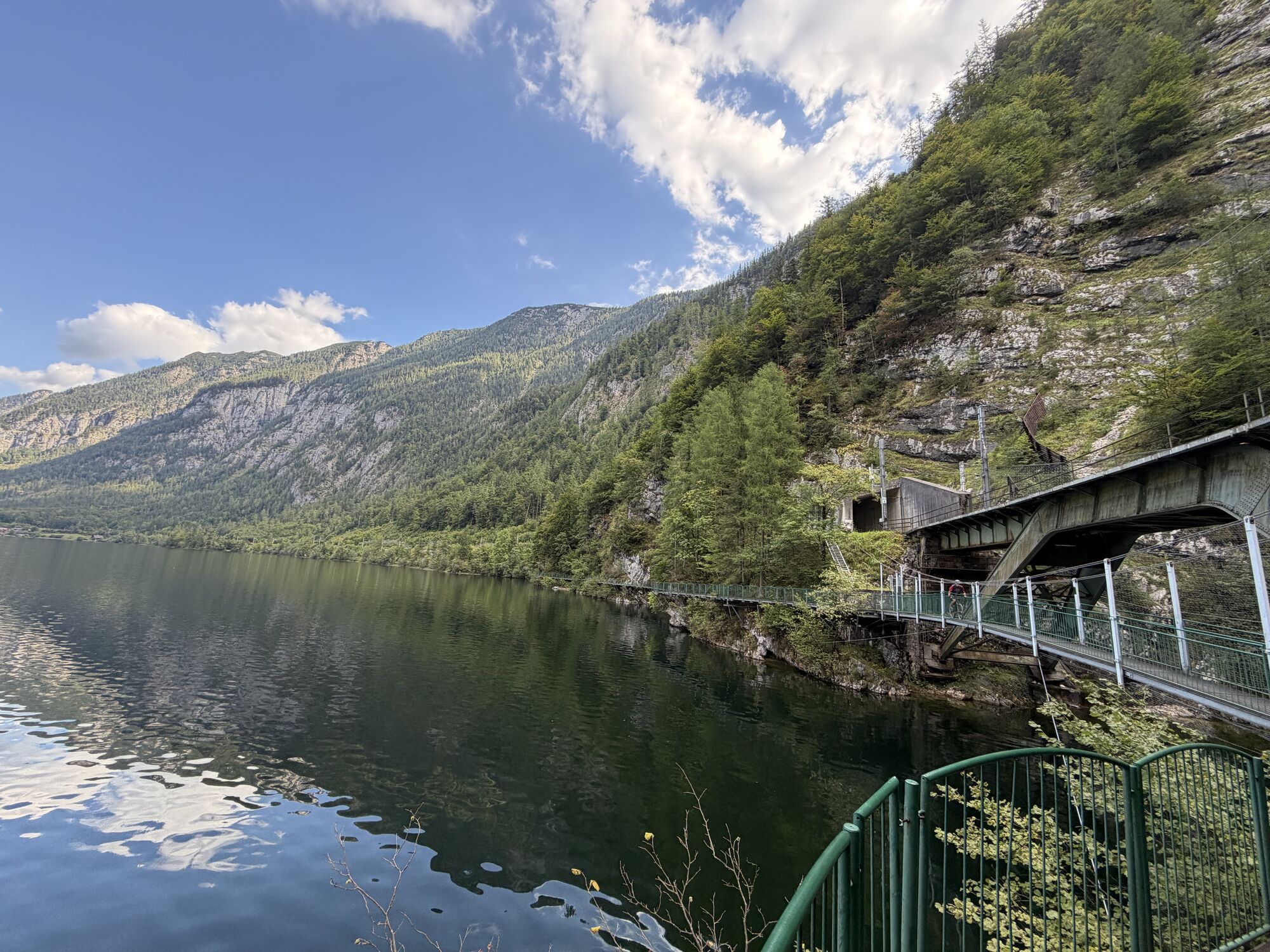
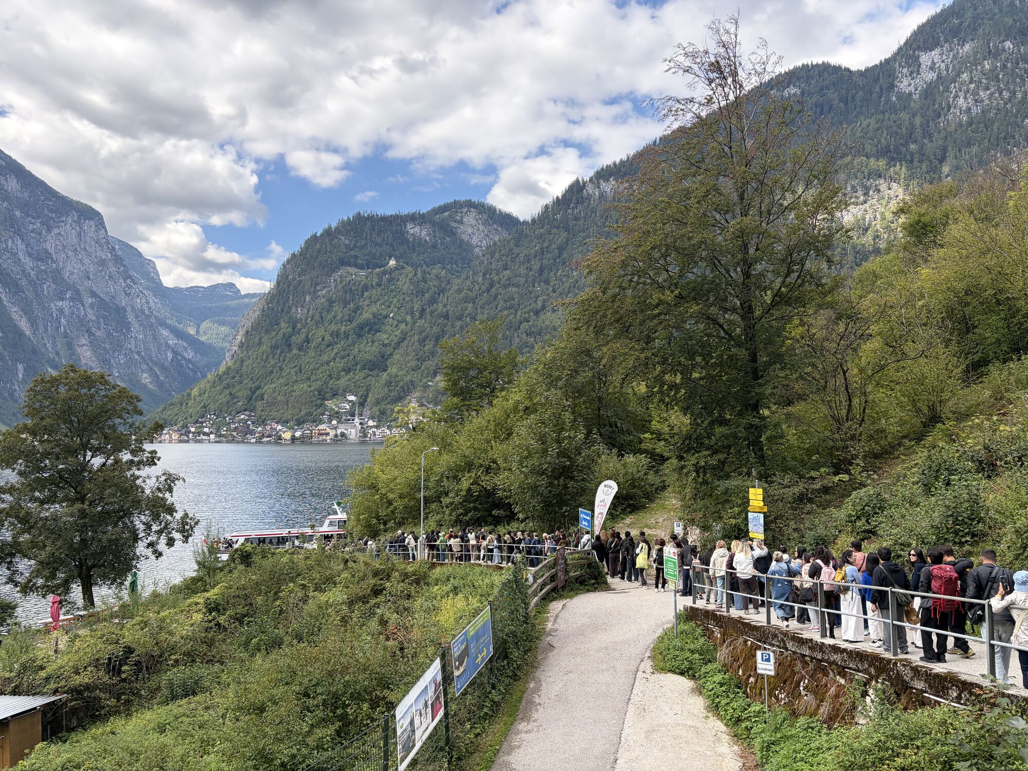
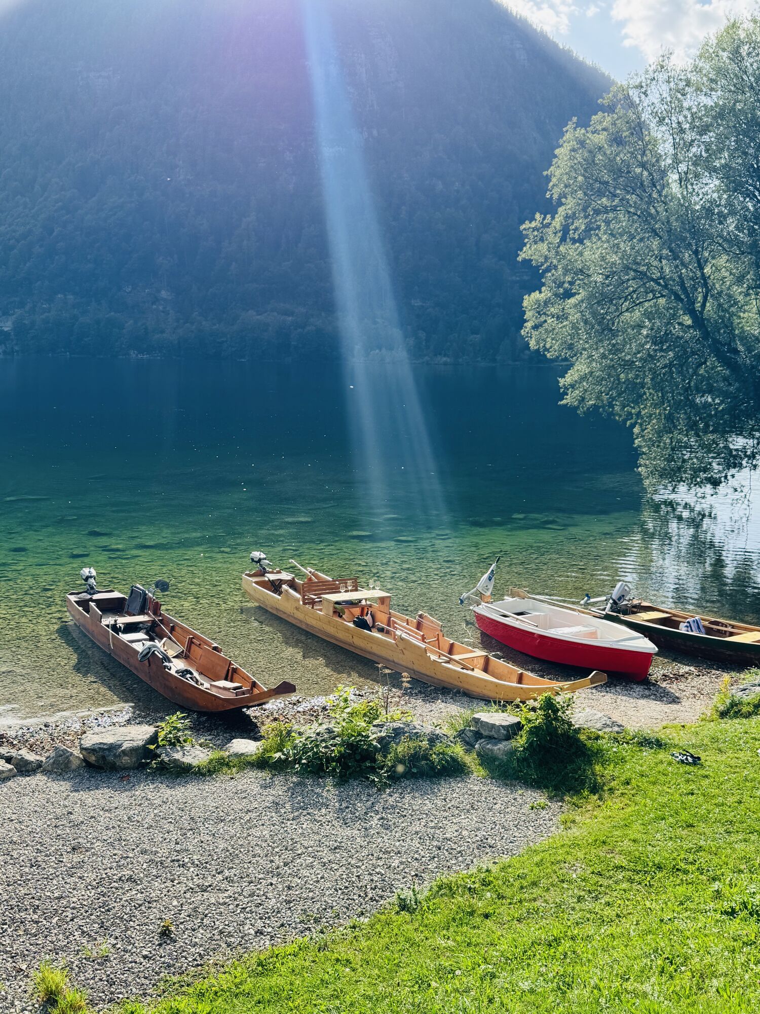
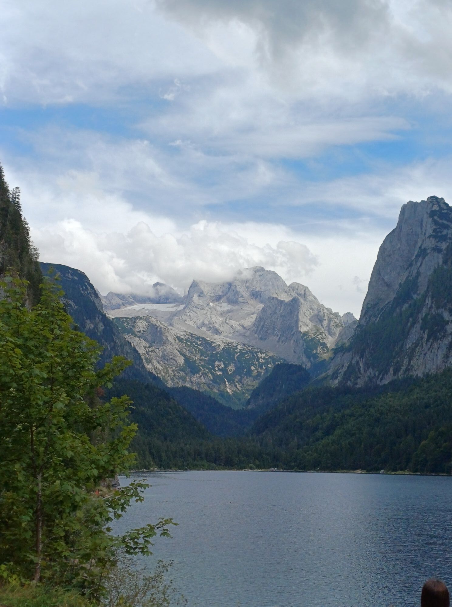
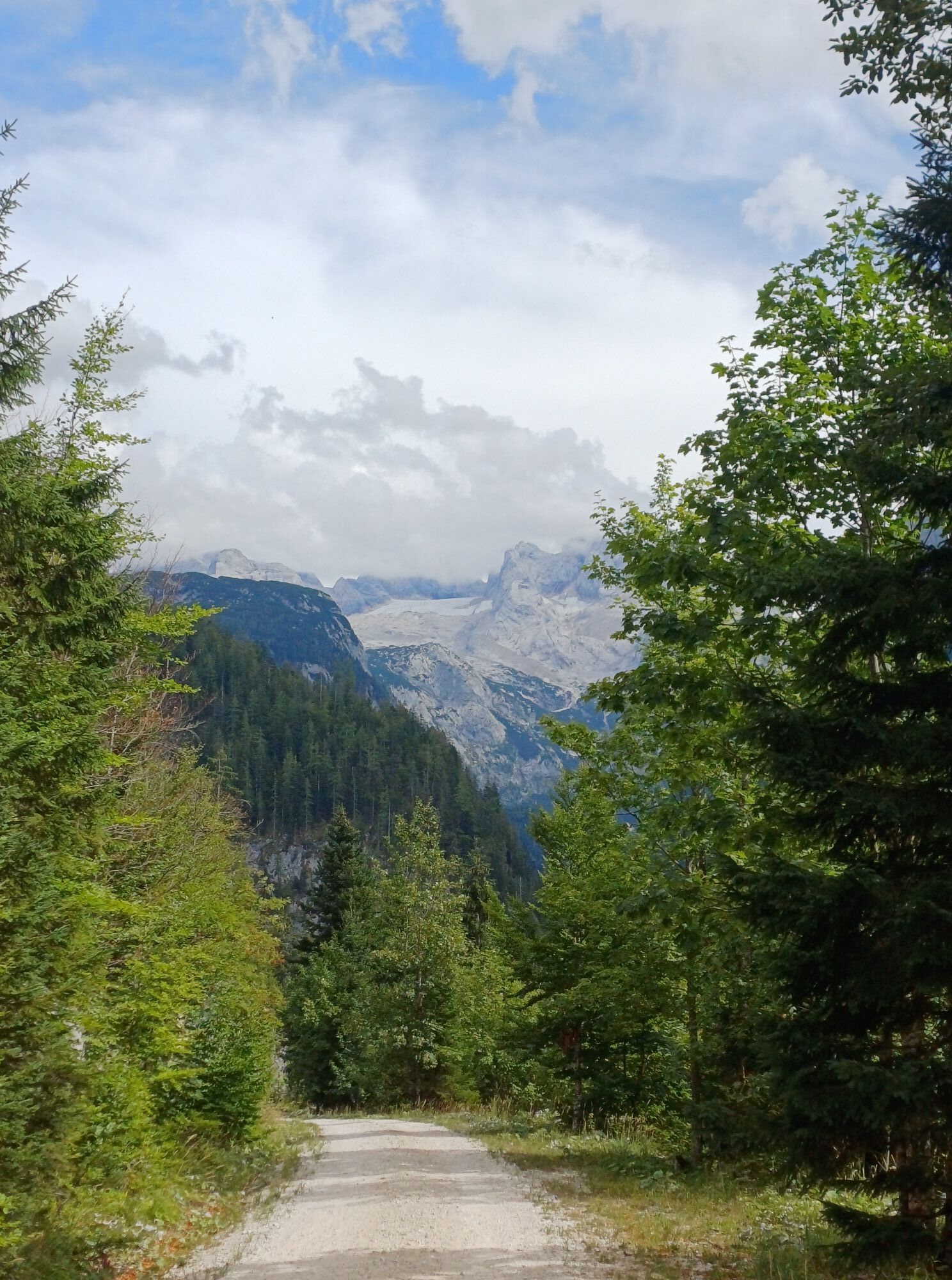
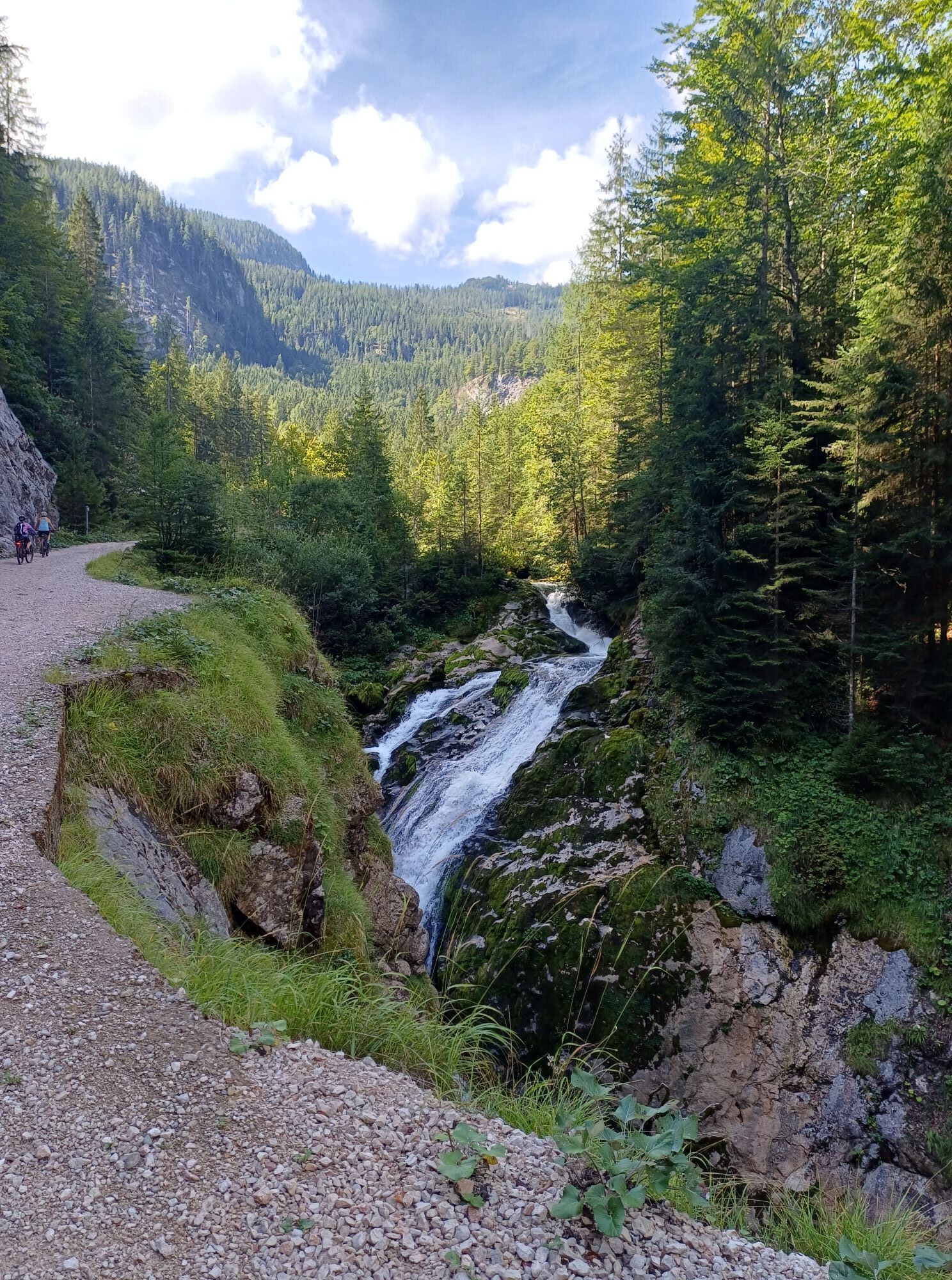
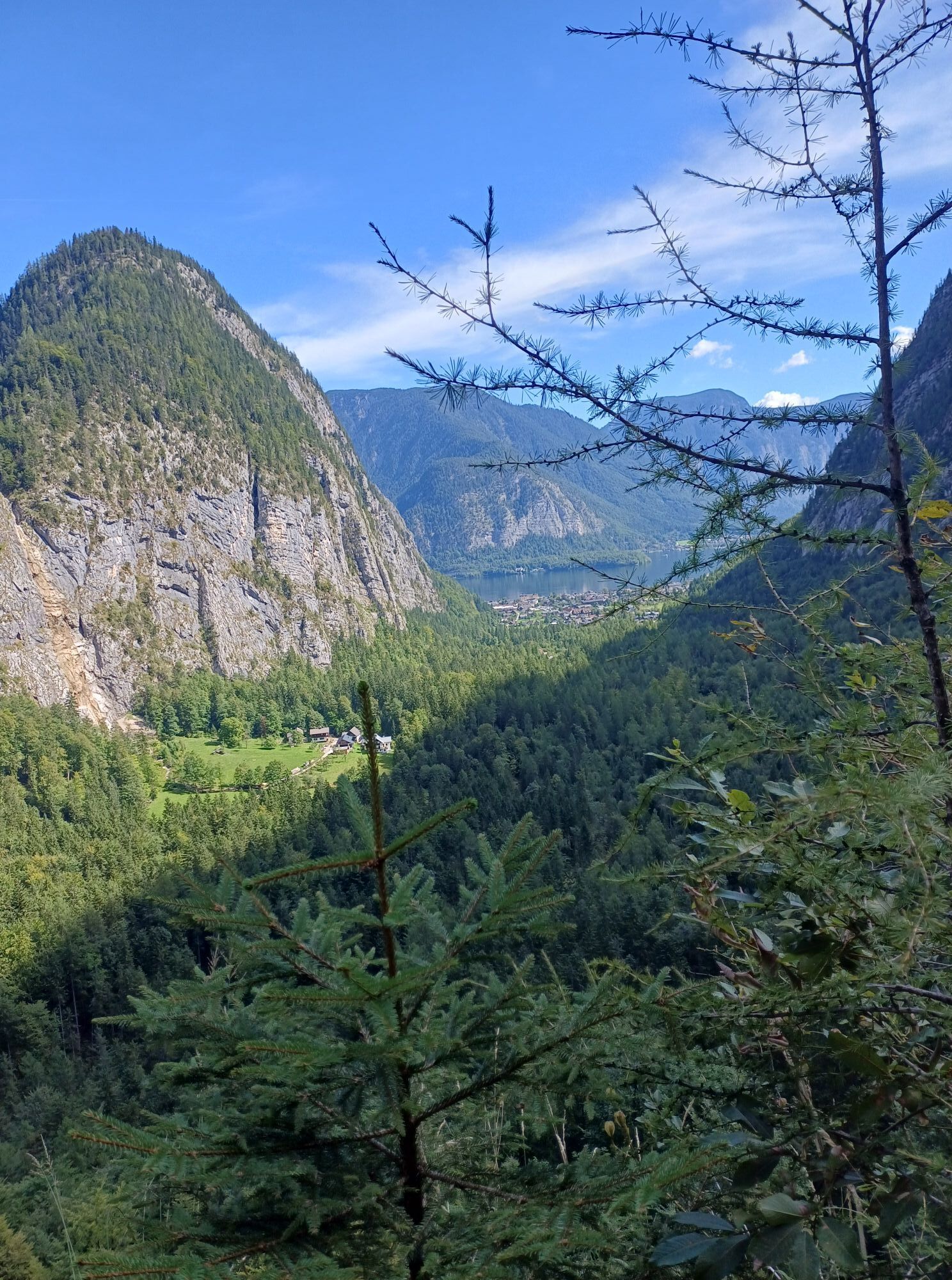
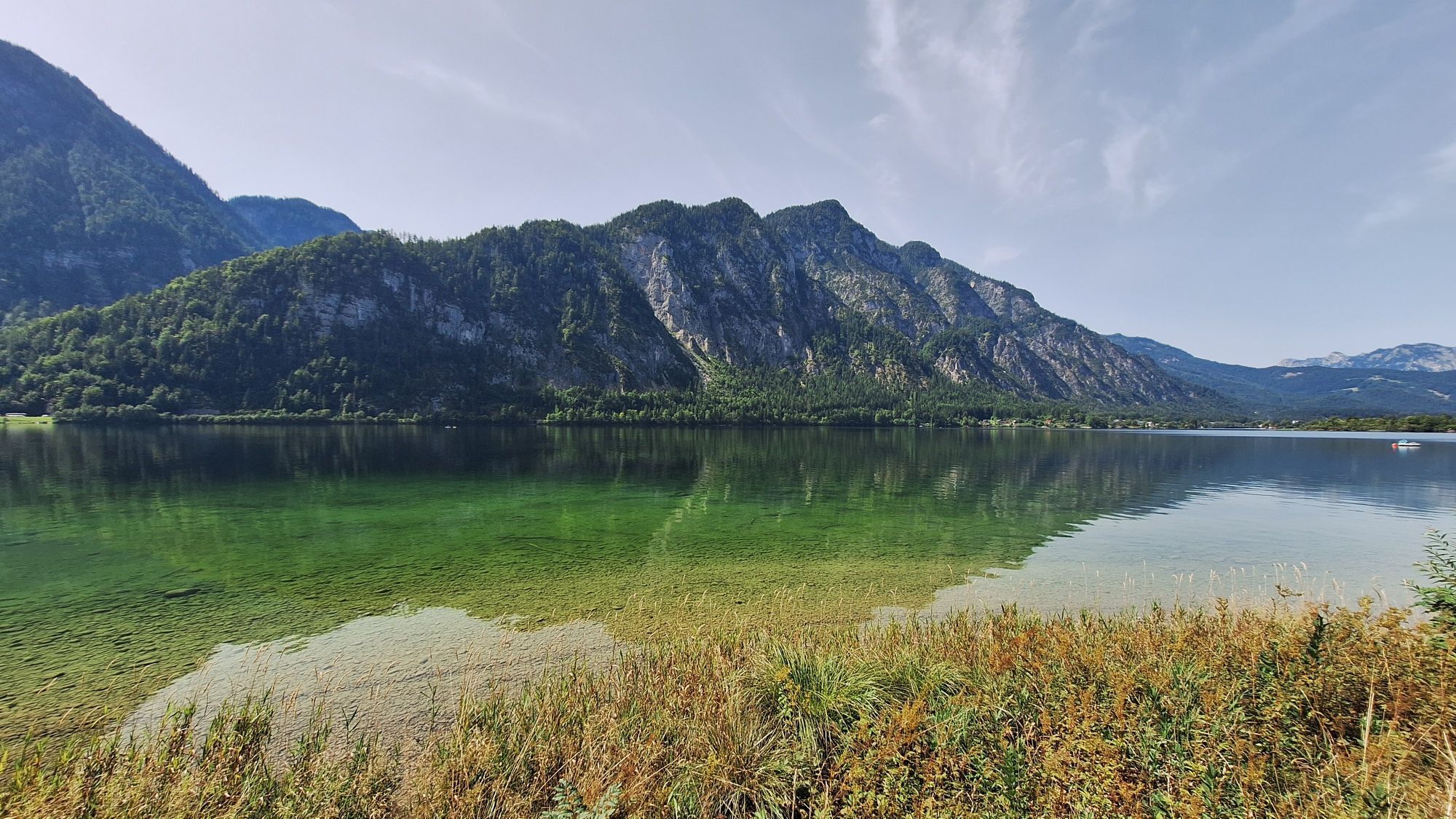
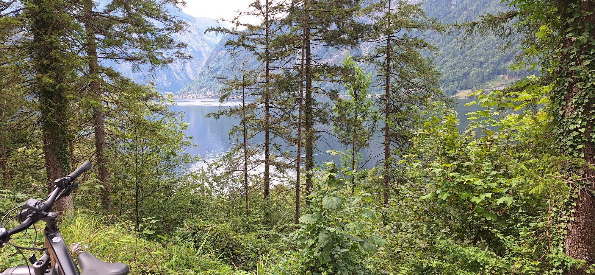
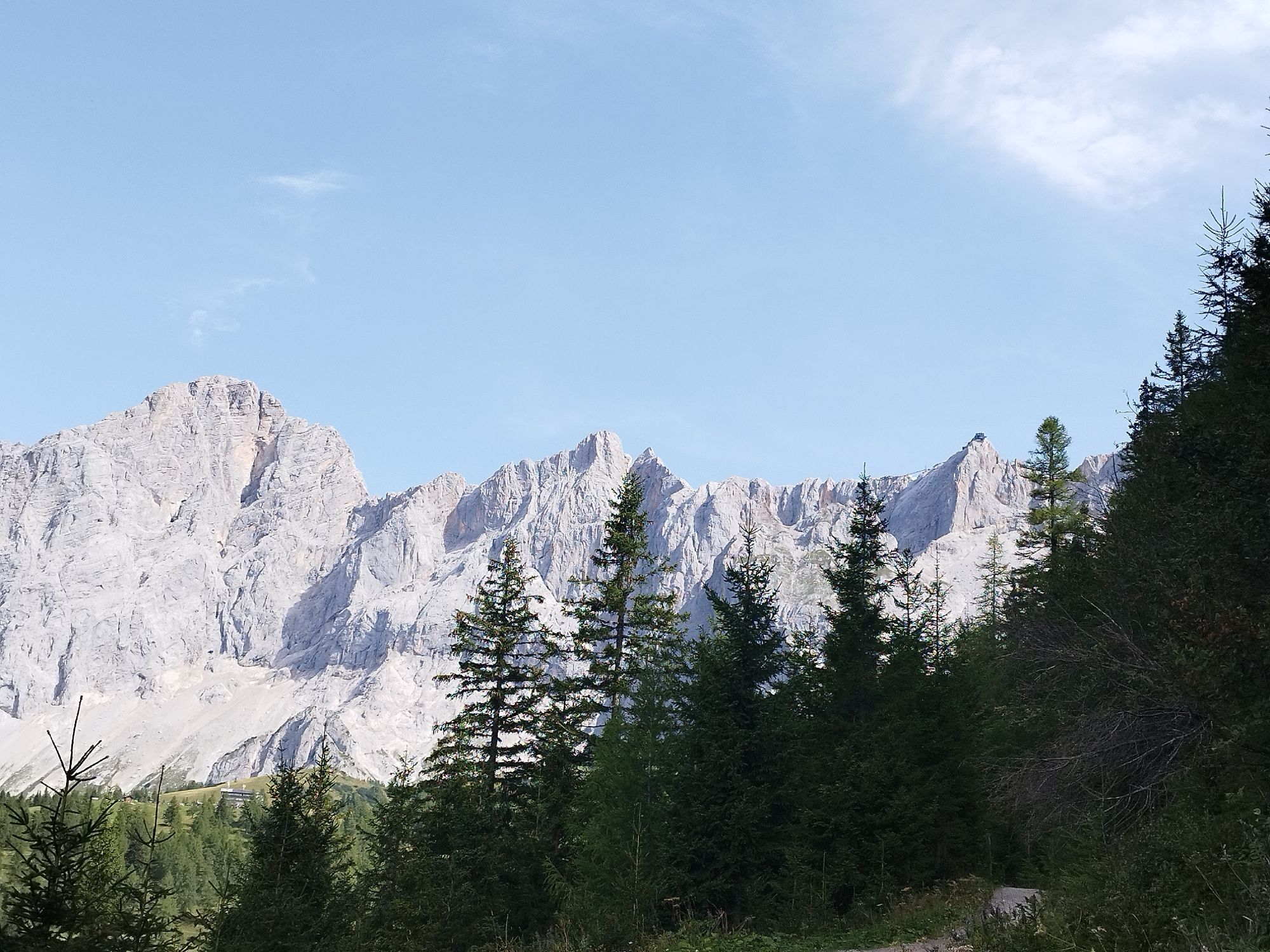
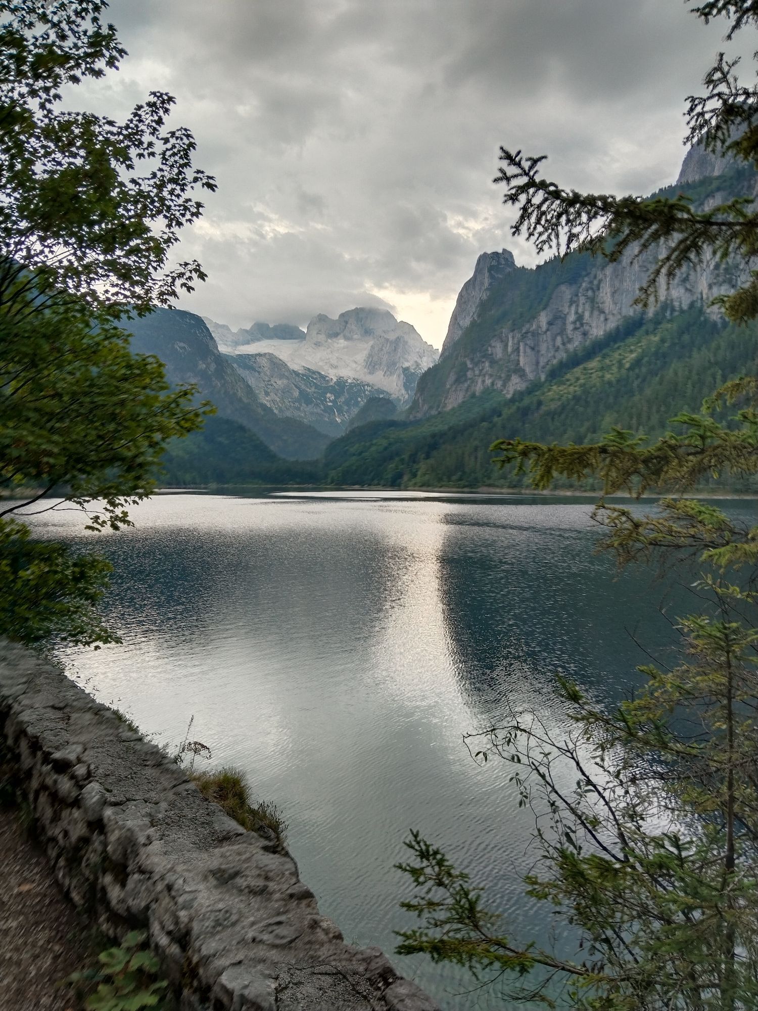
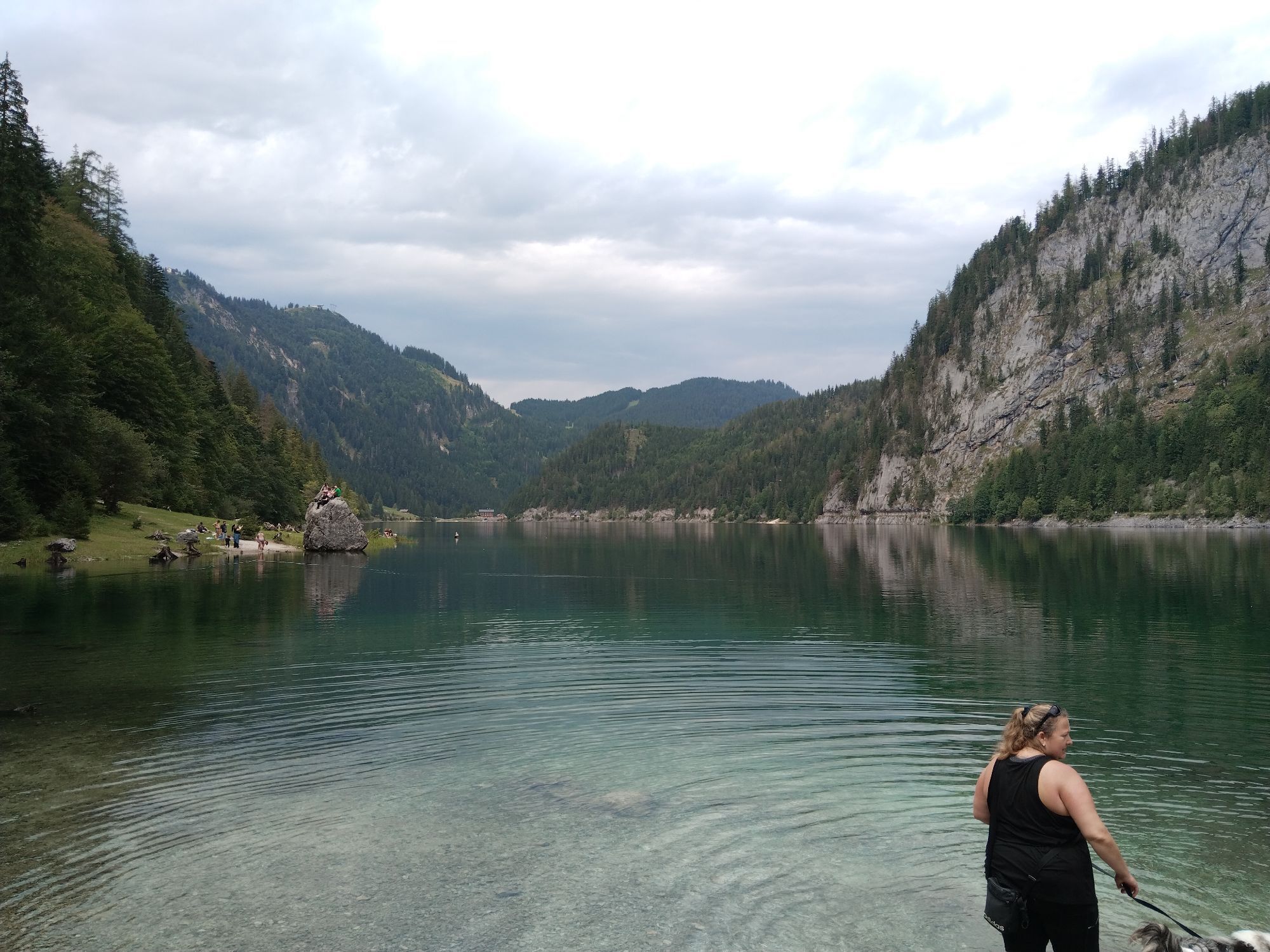
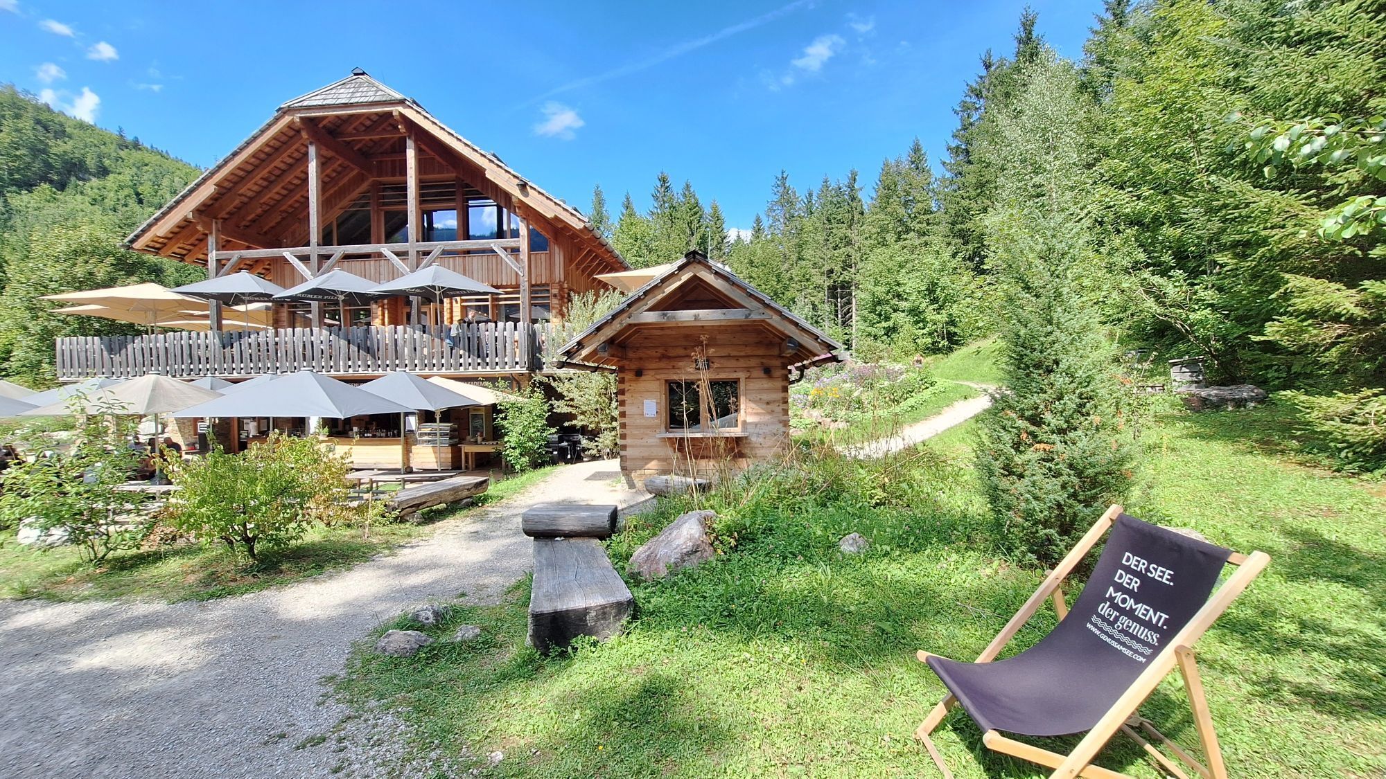
Through three states - and the Dachstein always in view
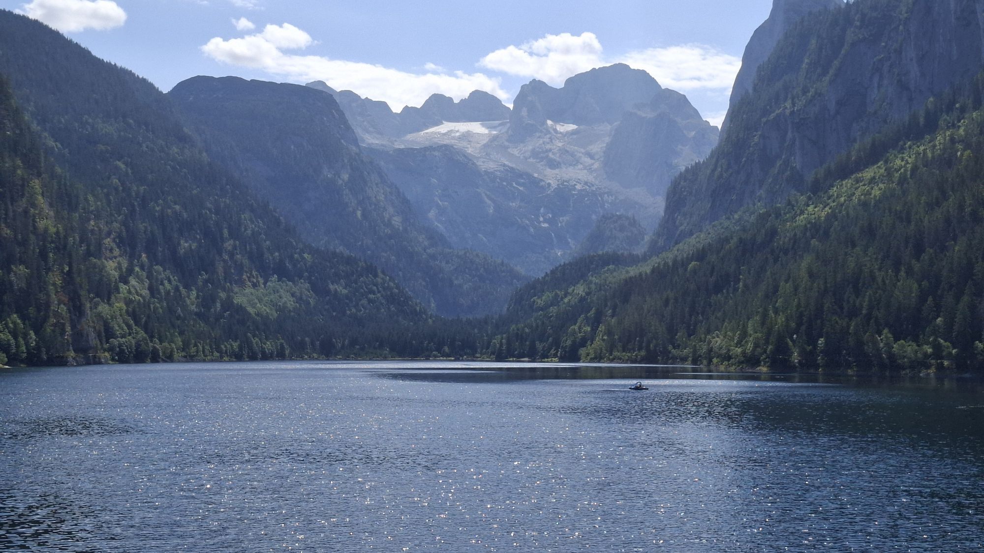
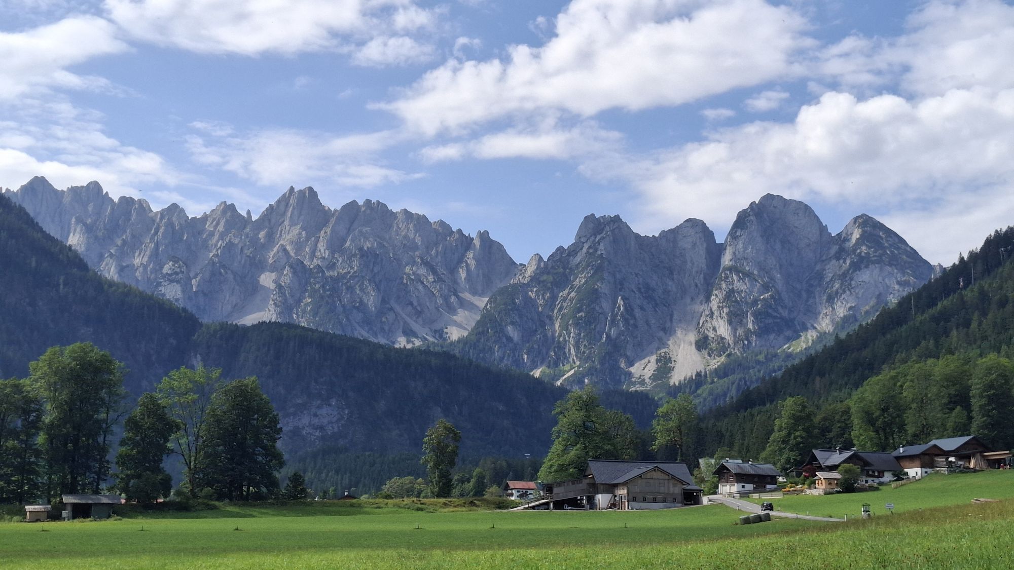
Three states - Salzburg - Upper Austria - Styria - surround the mighty Dachstein massif. For this reason, it is no surprise that an effort was made...
Through three states - and the Dachstein always in view
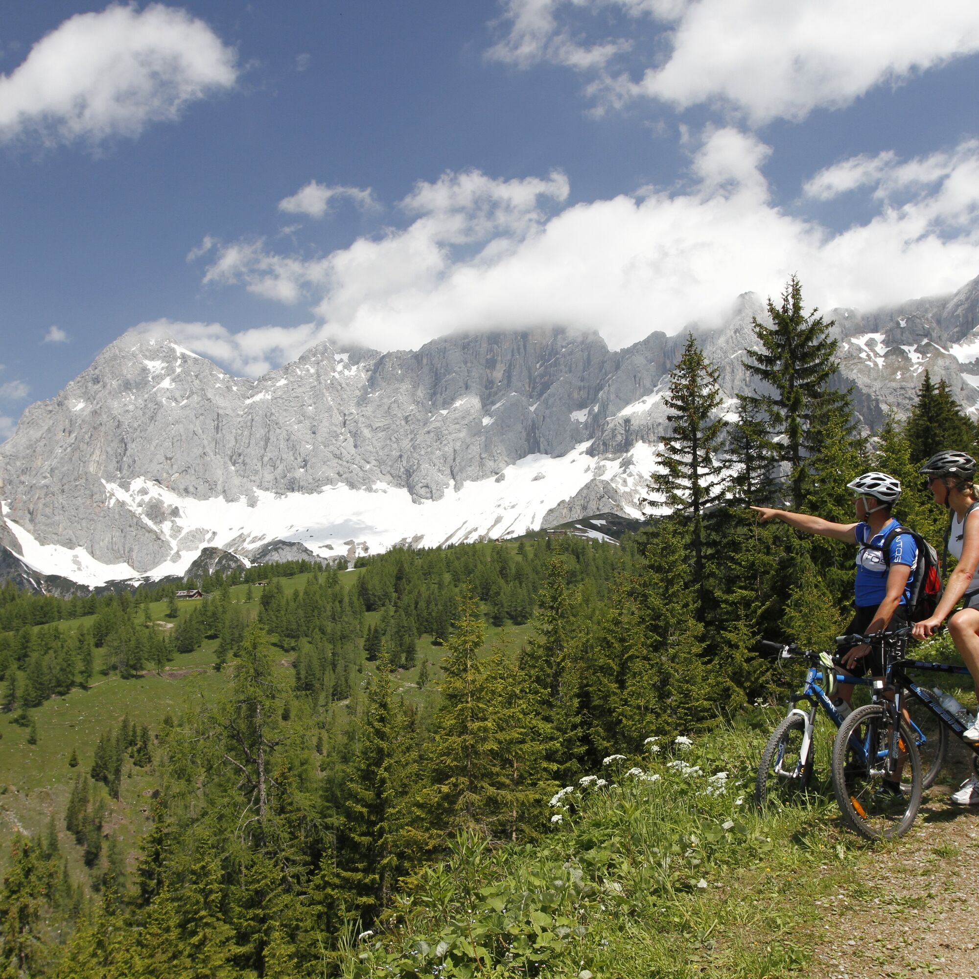
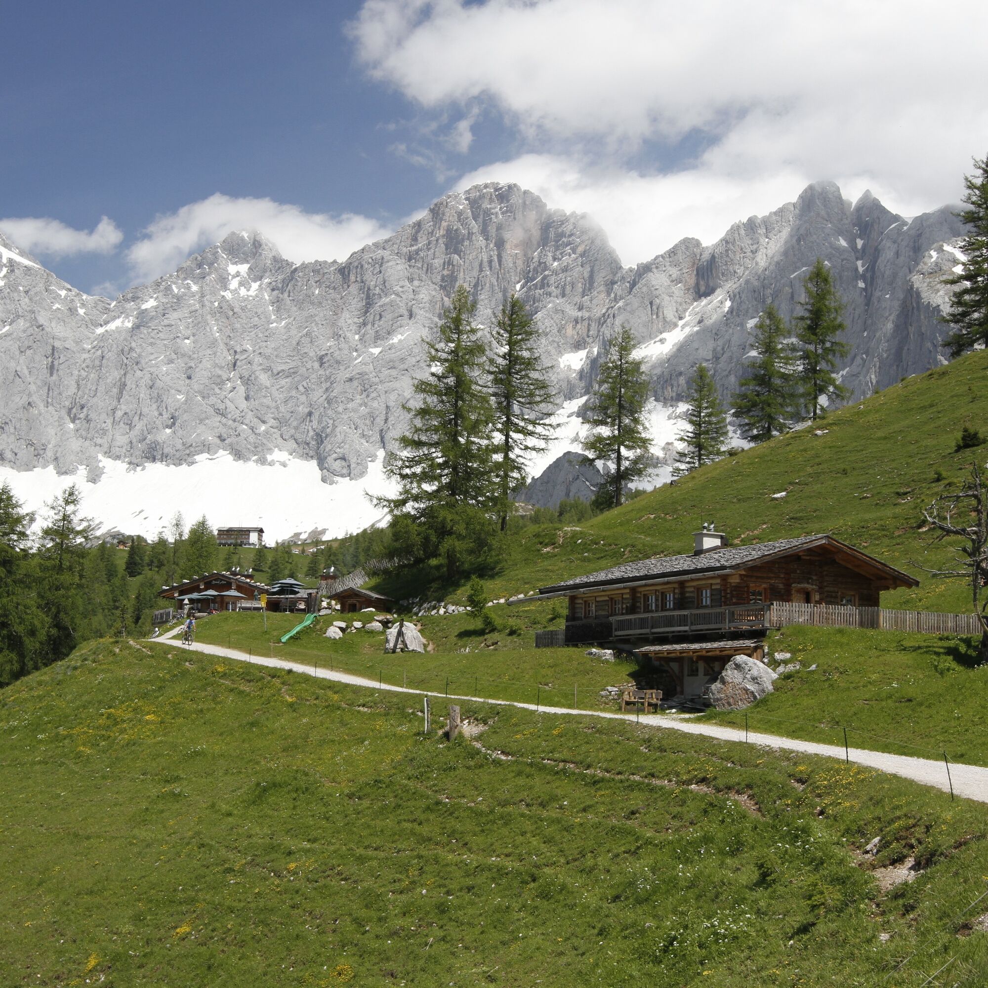
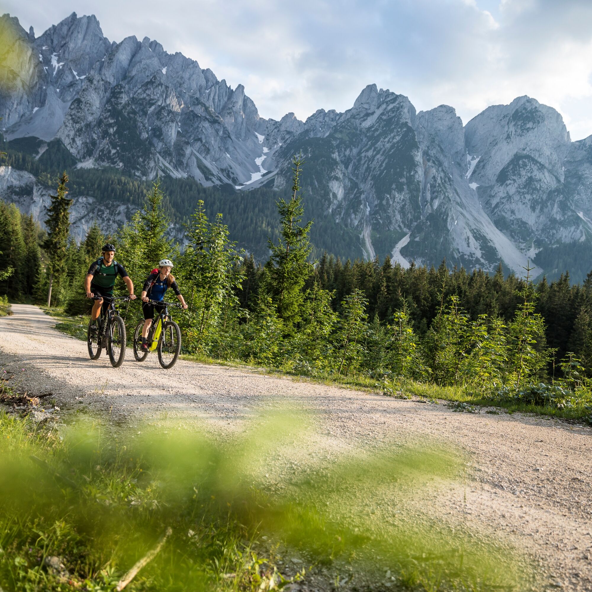
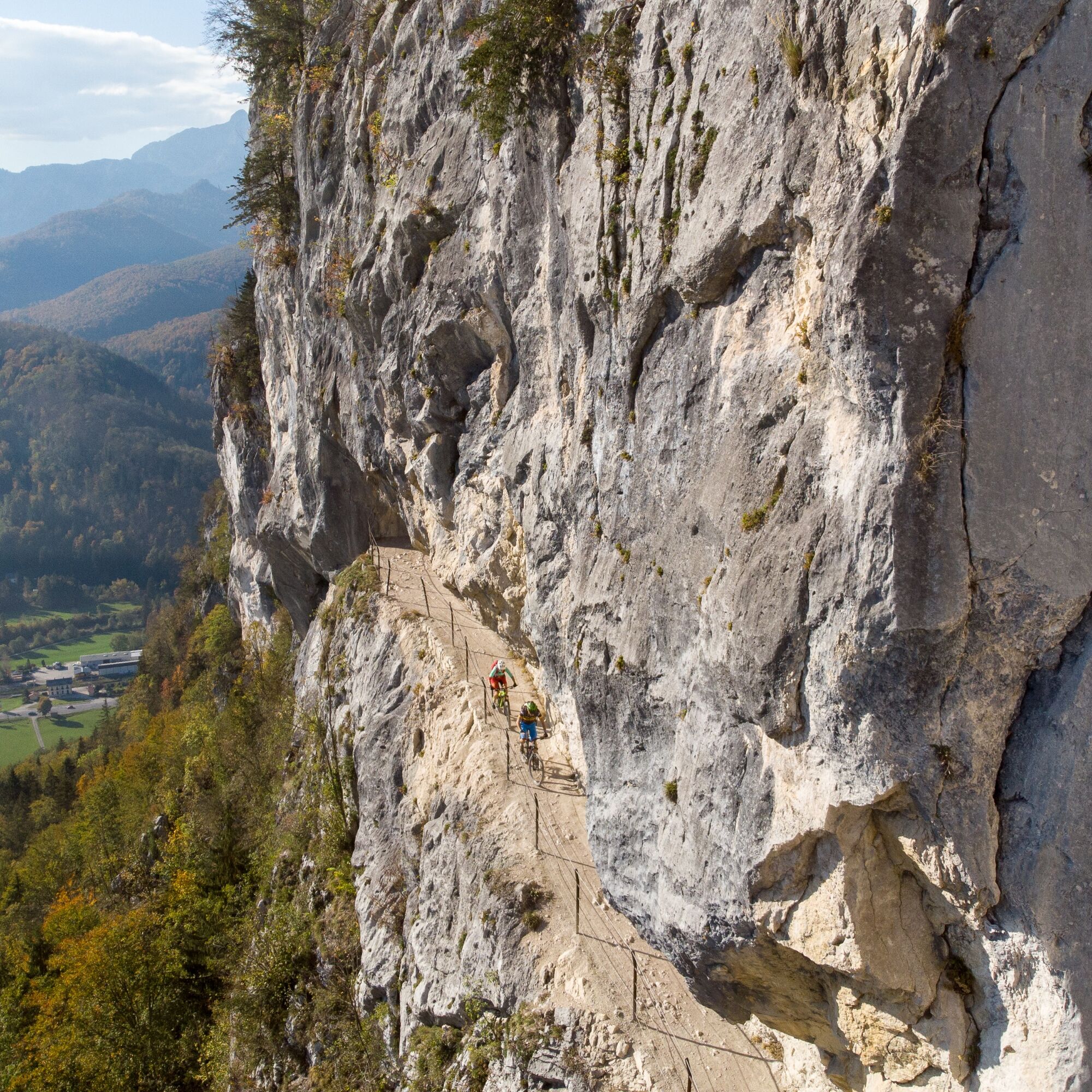
Three states - Salzburg - Upper Austria - Styria - surround the mighty Dachstein massif. For this reason, it is no surprise that an effort was made to put together a great route around the Dachstein massif. A round route over 200 kilometers long that includes everything both scenically and technically, but is not too difficult. (3 days recommended)
You can start anywhere at various locations along the route. Some tips for starting points: Bad Mitterndorf, Ramsau, Filzmoos, Abtenau, Rußbach, Bad Aussee. And of course at the three stage towns Bad Goisern-St. Agatha, Gröbming, and Annaberg.

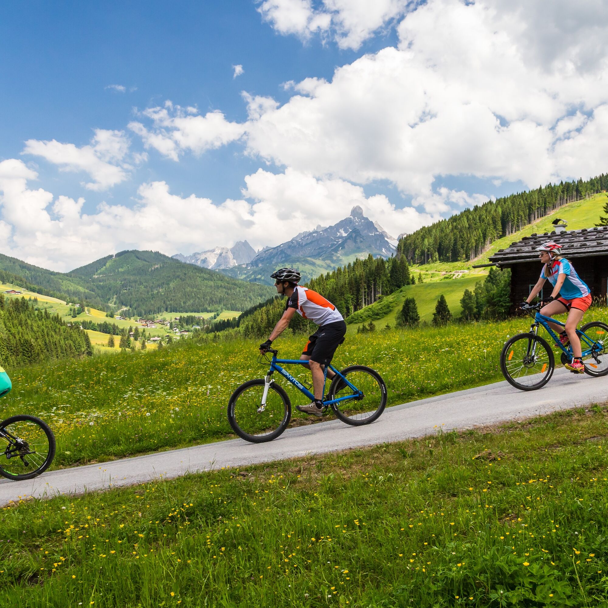
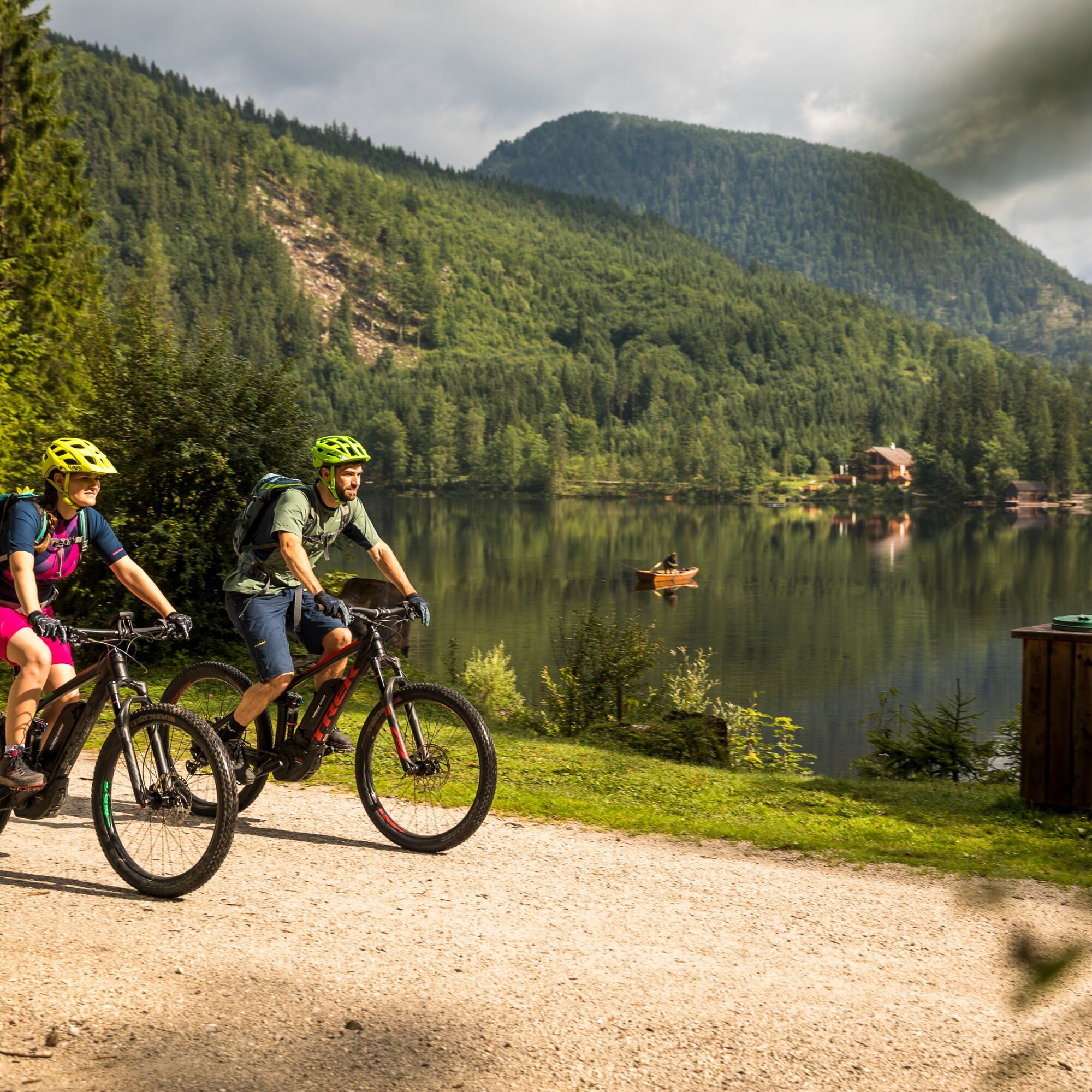
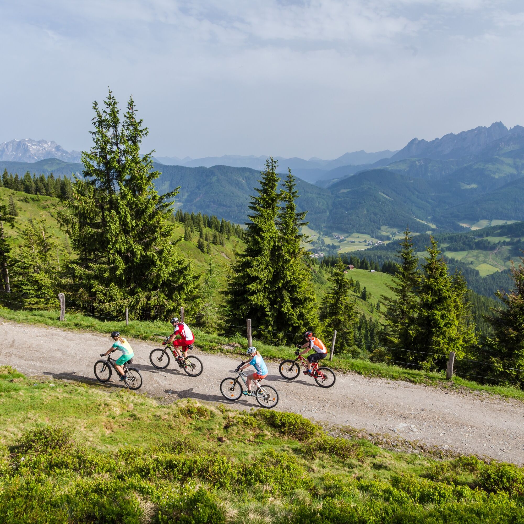
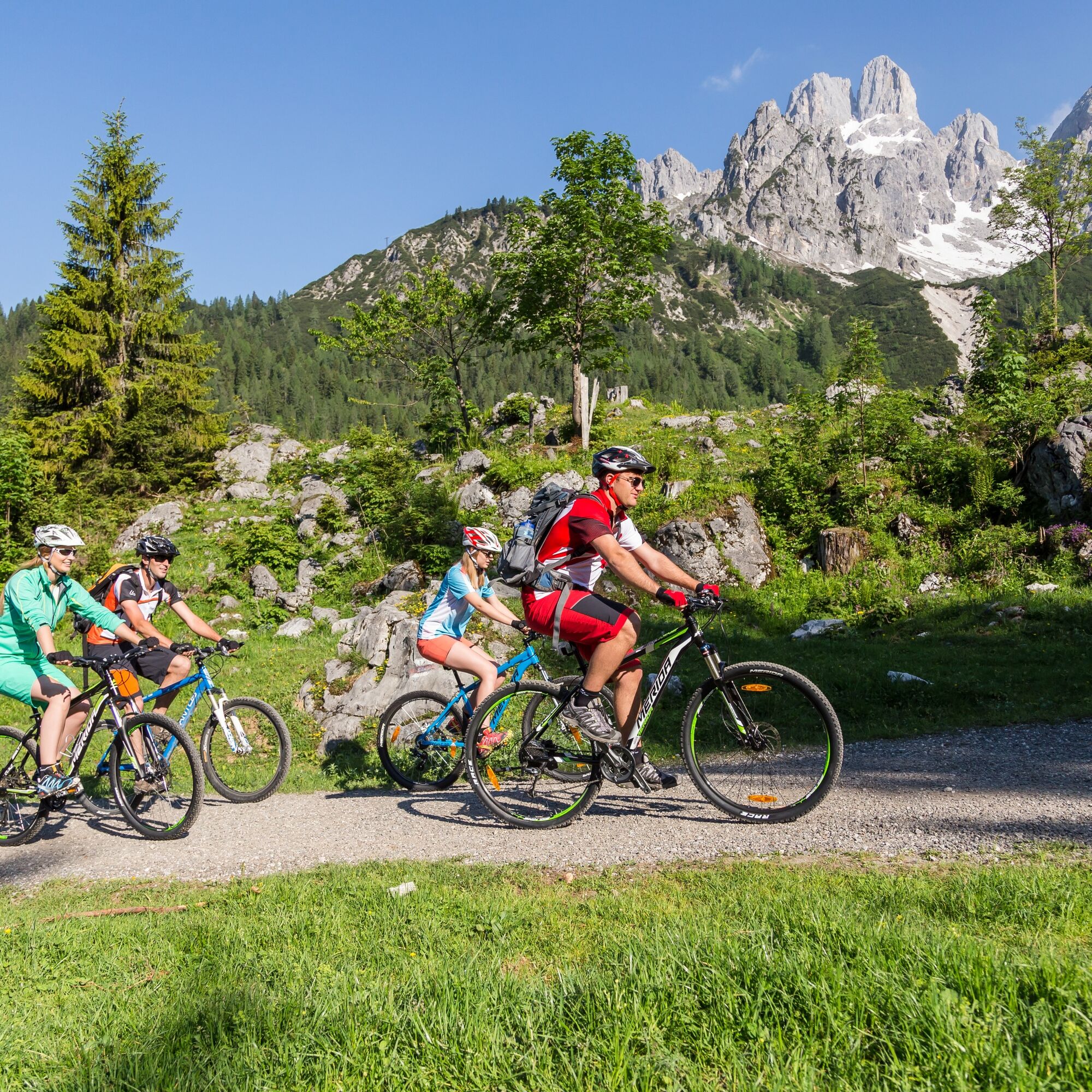

Tour details
Total length: 213 km
Elevation gain: 5,300 m
Average daily performance: 49–69 km/1,200–1,900 m daily
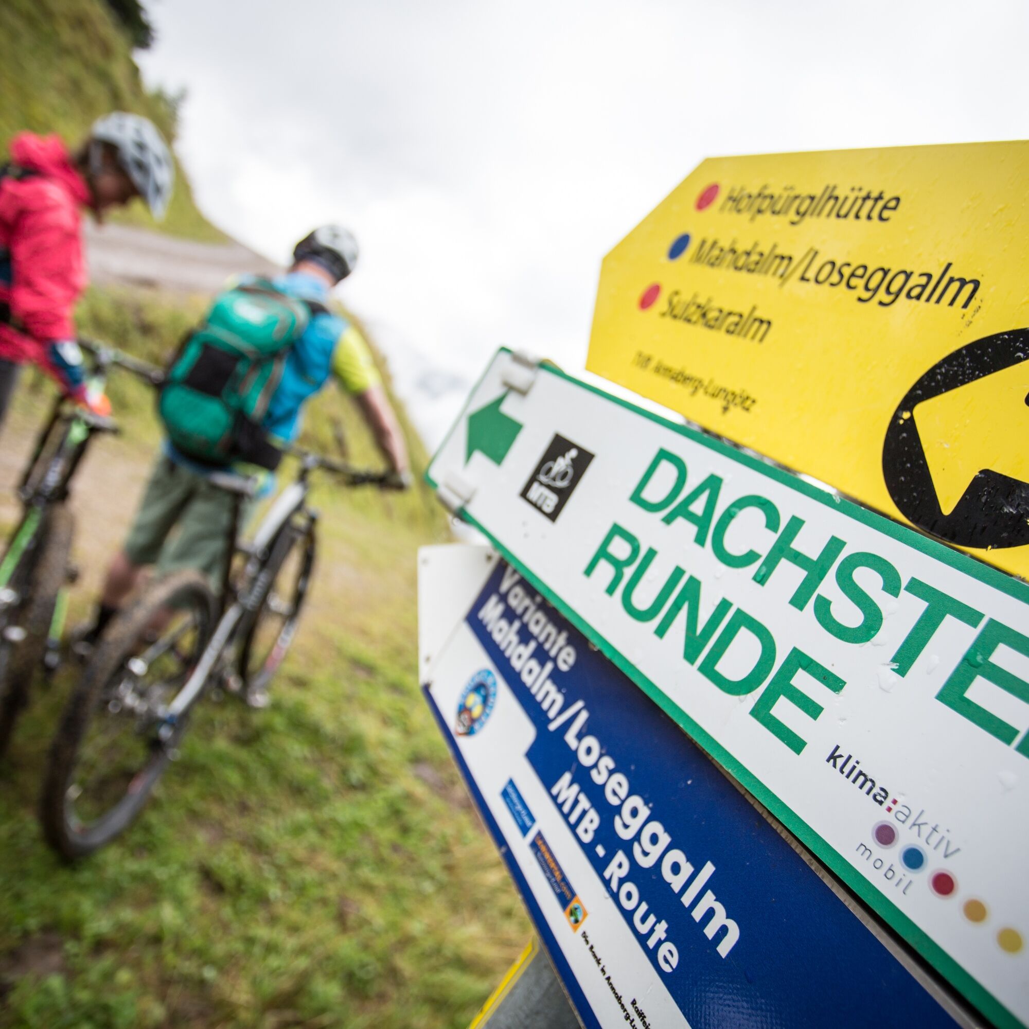
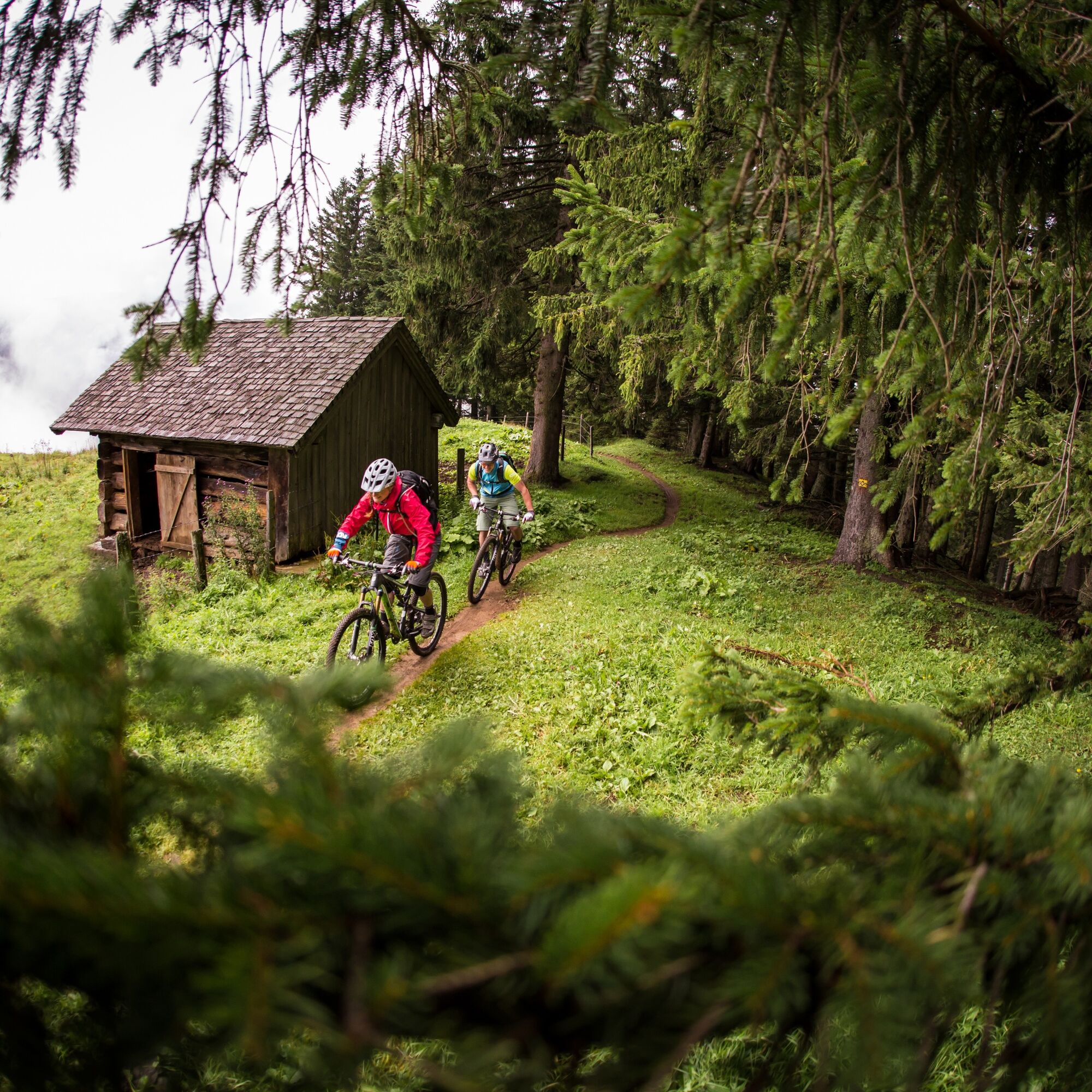
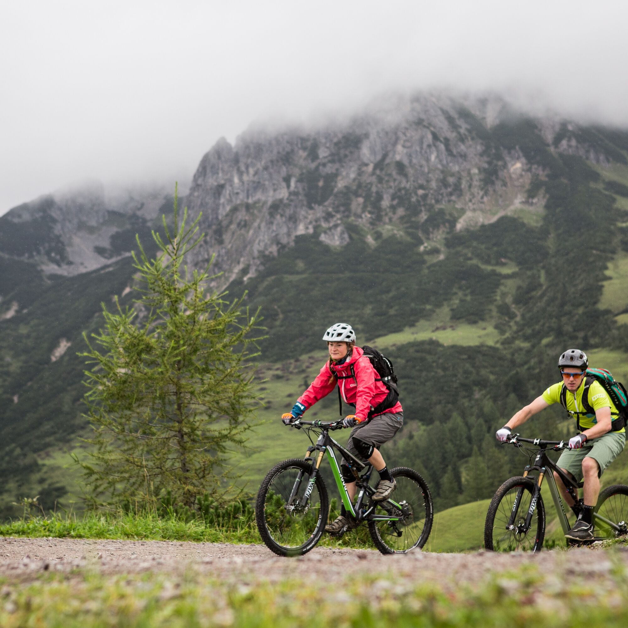
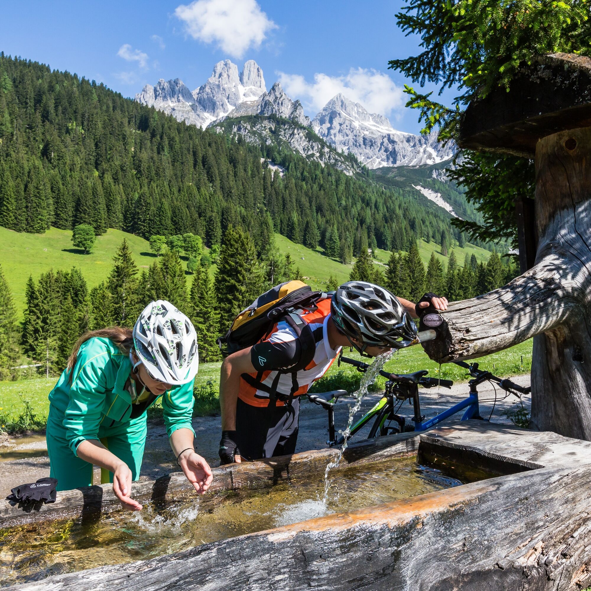
The Dachsteinrunde Classic (formerly blue) has been one of our most popular mountain bike routes for years. Starting from the MTB Trophy location Bad Goisern, we bike around the huge limestone plateau. The majestic summit of the Dachstein is repeatedly visible during the MTB holiday in Upper Austria, SalzburgerLand, and Styria.
Requirements:
The Dachsteinrunde Classic is a physically demanding mountain bike route with few technical difficulties. The mountain bike trail is not yet continuously marked with Dachsteinrunde Classic - GPX track recommended!
Detailed information on the Dachsteinrunde Classic
The Dachsteinrunde Experience (formerly black) is currently not marked and can only be ridden using the GPX track.
To the GPX track Dachsteinrunde Experience
Proper clothing!
Even in summer, especially in the pre- and post-season, carry warm clothing and a spare jersey. In higher altitudes, it is uncomfortable in bad weather without rain protection.
Carry emergency equipment!
First aid kit, bike repair kit (spare tube, pump, tools), map, mobile phone and possibly GPS should always be with you (Attention: mobile reception is not available everywhere in the mountains).
Proper self-assessment!
Do not overexert yourself or your companions. Plan reserves. A defect before the last mountain or bad weather wears on endurance and morale.
Start early!
Especially in the pre- and post-season, make sure to reach your daily goal well before dark and plan reserves.
Bad weather in the mountains!
If bad weather approaches, quickly leave higher altitudes (descend or turn back)! Normally, you can get down quickly by bike; if there is snow, you have a problem.
Emergency numbers (in Austria)!
Mountain rescue: 140
Ambulance: 144
Police: 133
1. Highway from Vienna - Linz and Passau-Wels, exit Regau,
Traunsee, Bad Ischl, Bad Goisern, St. Agatha
2. Highway from Munich - Salzburg, exit Thalgau, Hof - Fuschlsee -
Wolfgangsee - Bad Ischl, Bad Goisern, St. Agatha
3. Highway from Graz to Liezen - Bad Aussee, St. Agatha
Train: From Hamburg: with trains "Prinz Eugen" and "Donaukurier",
change in Wels and Attnang-Puchheim
From Vienna: Linz - Attnang-Puchheim - Bad Goisern
From Graz: Bruck/Mur - Stainach-Irdning (change trains), Bad Goisern
Directly at Hotel Gasthof Agathawirt
At the start in the stage town Annaberg in the Lammertal: parking lot Kopfbergbahn, directly in the center of Annaberg
Information, accommodation options, tips are offered by the Tourism Association Annaberg-Lungötz

Kamery internetowe z trasy
-
Rossbrand
-
Annaberg-Lungötz
-
Planai Bergstation Burgstallalm
-
Bergstation Dachstein Hunerkogel
-
Hüttendorf Pruggern
-
Ramsau am Dachstein / Leiten
-
Planai Bergstation
-
Talstation Reiteralm - Gondelbahn Silver Jet
-
Lahn - Hallstättersee
-
Hochwurzen Talstation
-
Galsterbergalmhütte
-
Karkogel - Abtenau
-
Karkogel - Abtenau
-
Stoderzinken Gipfelplateau Windmessstation
-
Aparthotel Jagdhof Filzmoos
-
Aparthotel Jagdhof Filzmoos
-
Sonnleiten - Abtenau
-
Ramsau - Aparthotel Ramsau
-
Ramsau - Aparthotel Ramsau
-
MONDI Resort am Grundlsee
-
Preunegg Jet Talstation
-
Zwieselalm Bergstation
-
Krippenstein Bergstation
-
Ramsau a. D. - Rittisberg
-
Haus i. E. - Hauser Kaibling
-
Snowpark Dachstein West
-
Edtalm
-
Ramsau / Lindenhof - Ramsbergerhof
-
Hagan Lodge
-
Bergstation Hornbahn - Hornspitz
-
Bergstation Hornbahn - Hornspitz
-
Dachstein West - Donnerkogelbahn
-
Dachstein
-
Ramsau am Dachstein - WM Stadion
-
Loserfenster
-
Haus - Hotel Herrschaftstaverne
-
Schladming - Lärchkogelbahn
-
Bad Mitterndorf - GrimmingTherme
-
Planai Talstation
-
Lungötz - Berghof Wildau


Popularne wycieczki w okolicy
-
4,5
Ramsau am Dachstein: Steinerne Jungfrauen
Wędrówka 8,11 km -
4,8
Ramsau am Dachstein: Bergstation Dachstein-Seilbahn - Guttenberghaus - Ramsau
średniWędrówka 14,4 km -
4,4
Heilbronner Rundwanderweg
światłoWędrówka 9,04 km -
4,4
Filzmoos: Rötelstein (Rettenstein)
Wędrówka 9,50 km -
3,8
Ostuferwanderweg
światłoWędrówka 16,2 km -
4,8
Tour around the Gosaukamm
średniWędrówka 20,9 km -
4,5
Bad Goisern: Pötschenhöhe – Sarstein - Obertraun
Wędrówka 11,4 km -
4,8
Tor-Wanderung
ciężkiWędrówka 14,2 km -
4,7
Stoderzinken Gipfelrundweg
średniWędrówka 4,94 km -
4,7
Tour around the Lake Gosau
światłoWędrówka 4,43 km
Wędrówki i tropienie


Nie przegap ofert i inspiracji na następne wakacje
Twój adres e-mail została dodana do listy mailingowej.





