







TG18 Osterhorn Round

Poziom trudności: S1
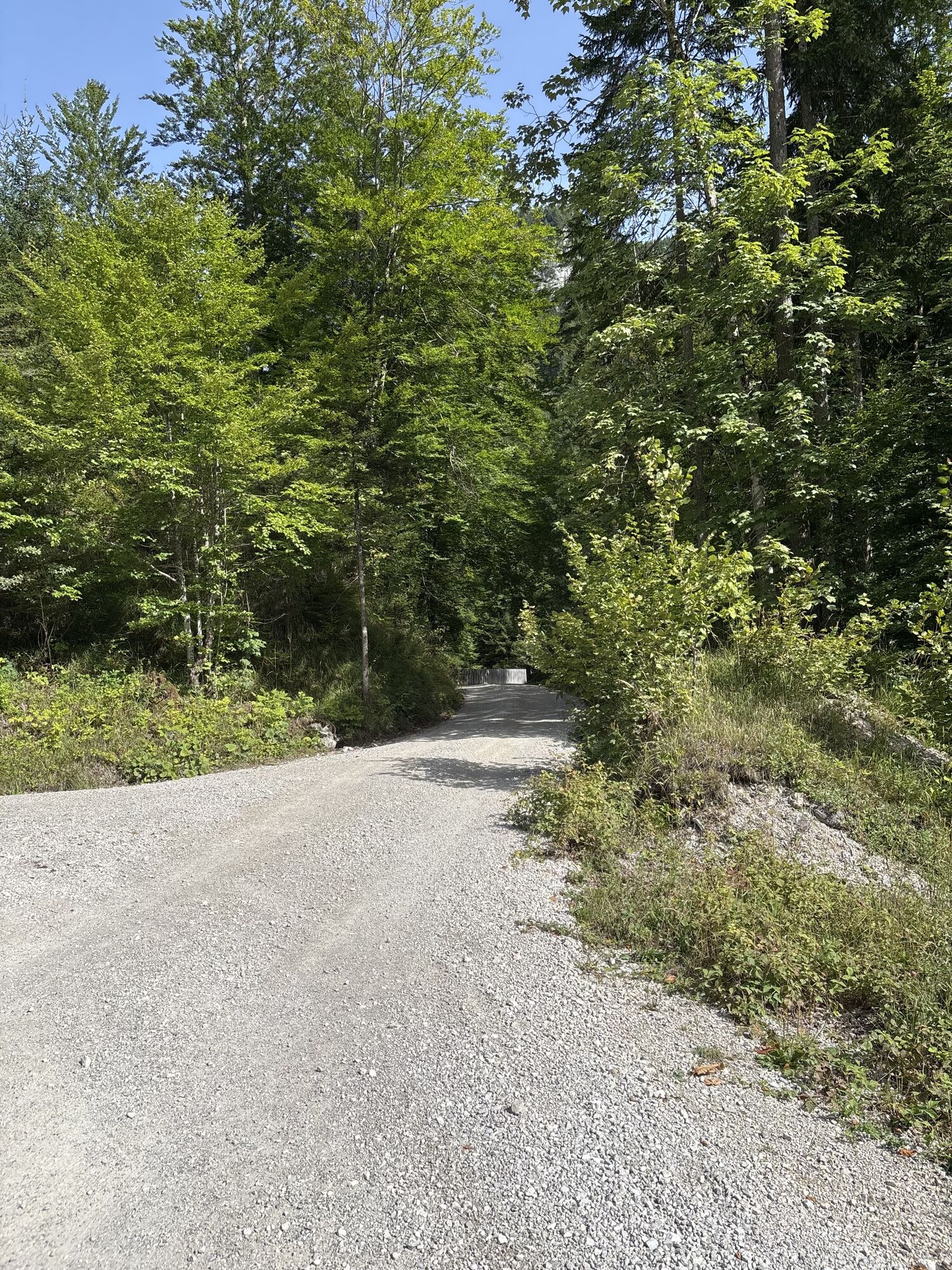
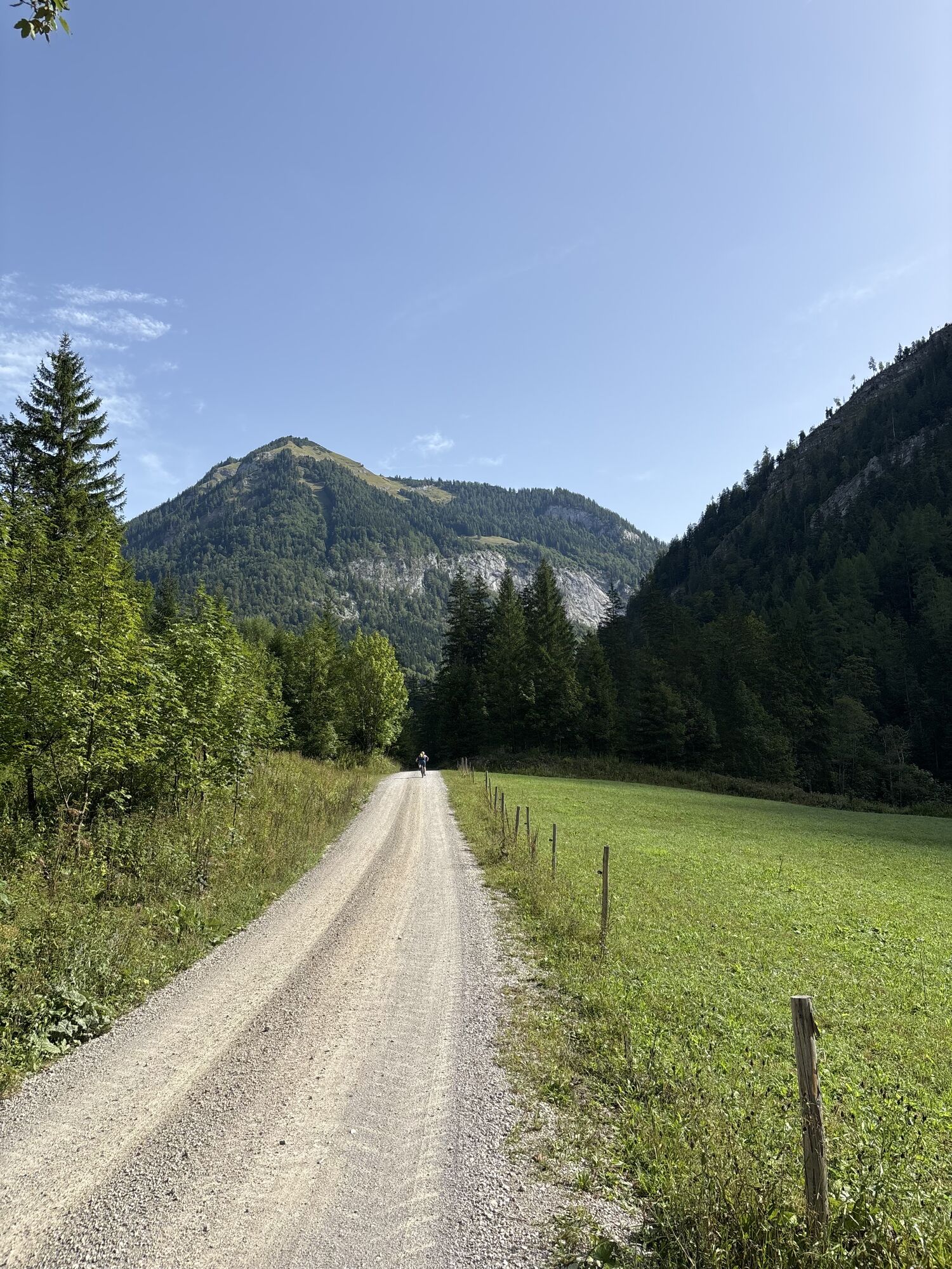
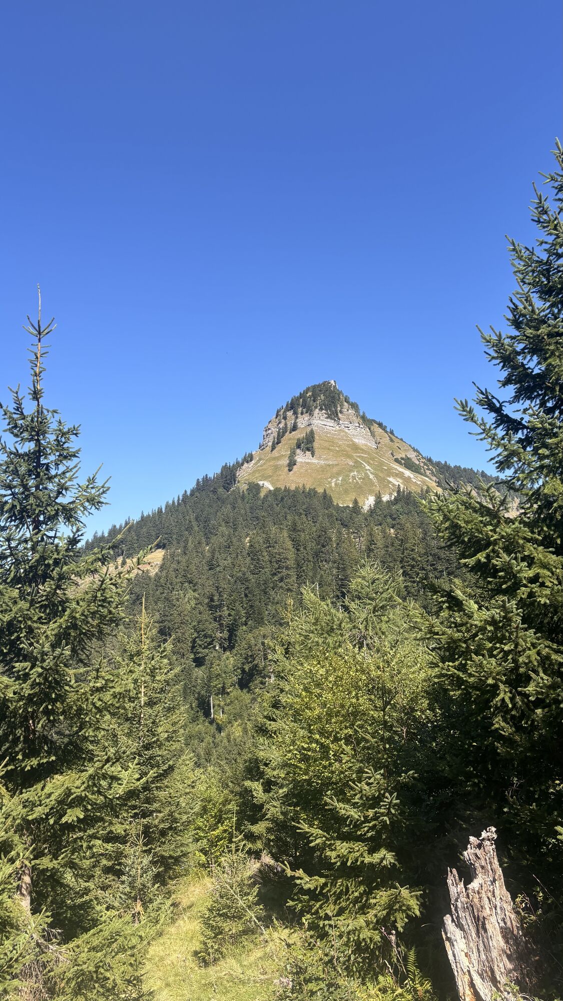
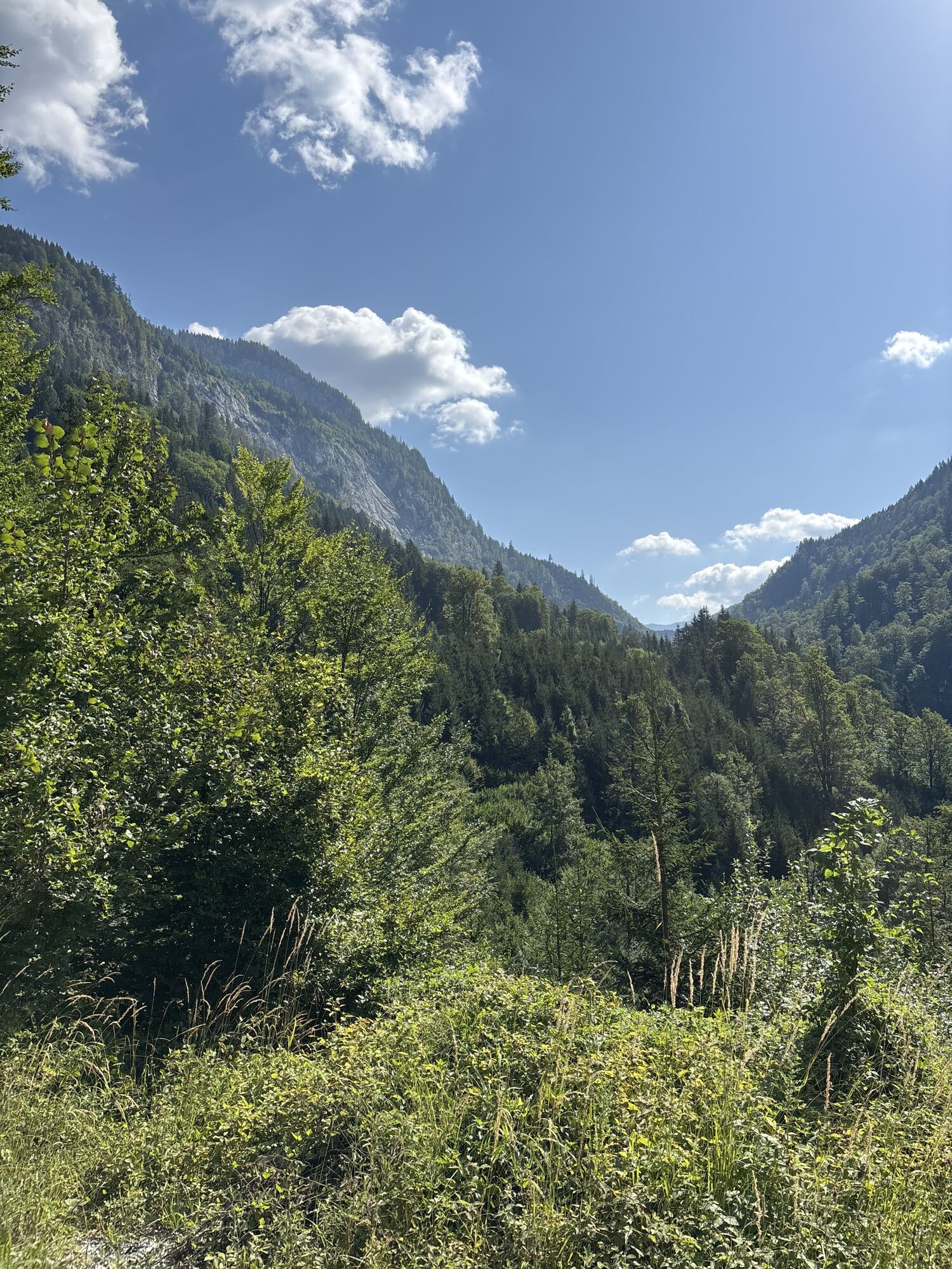
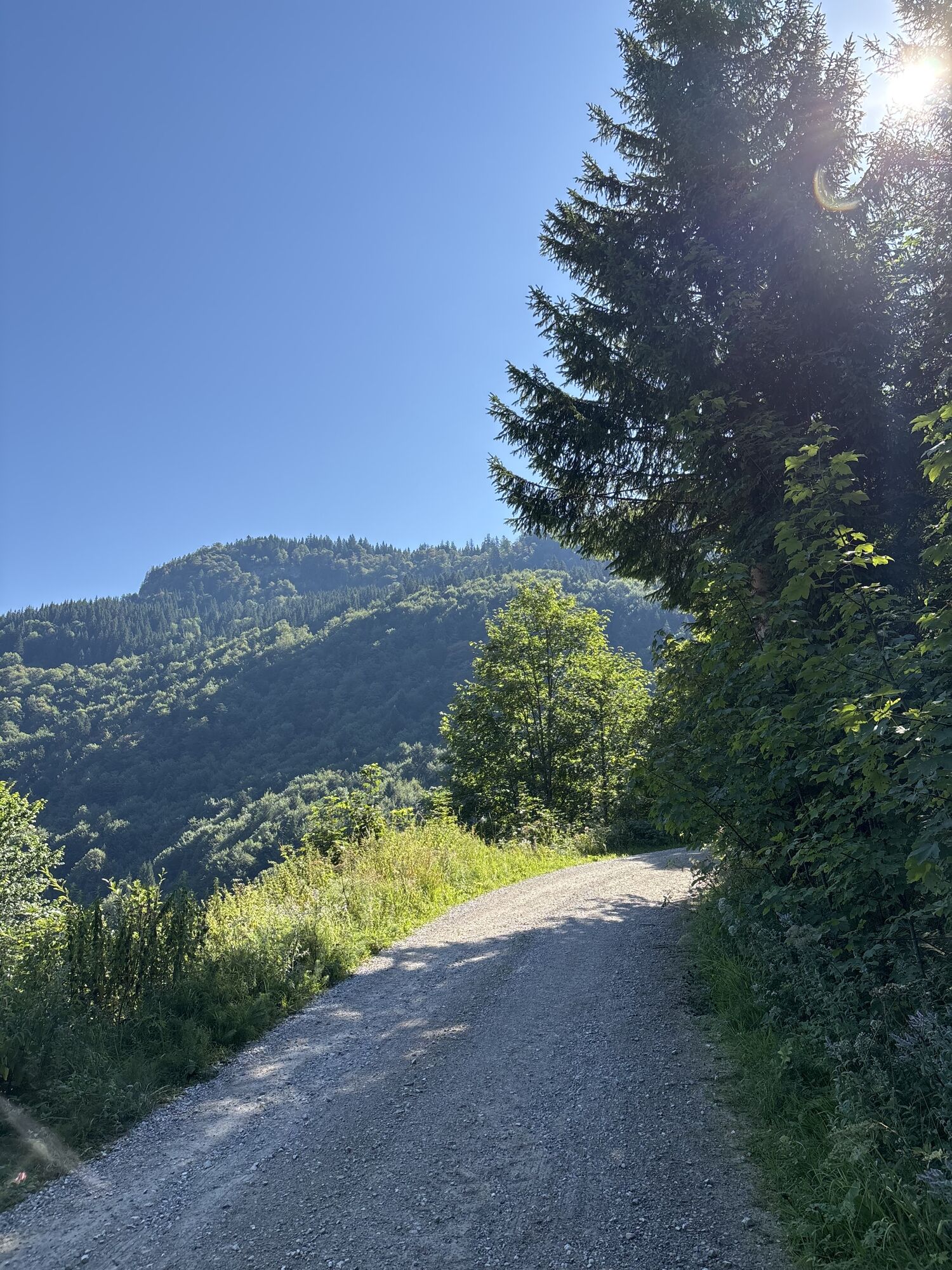
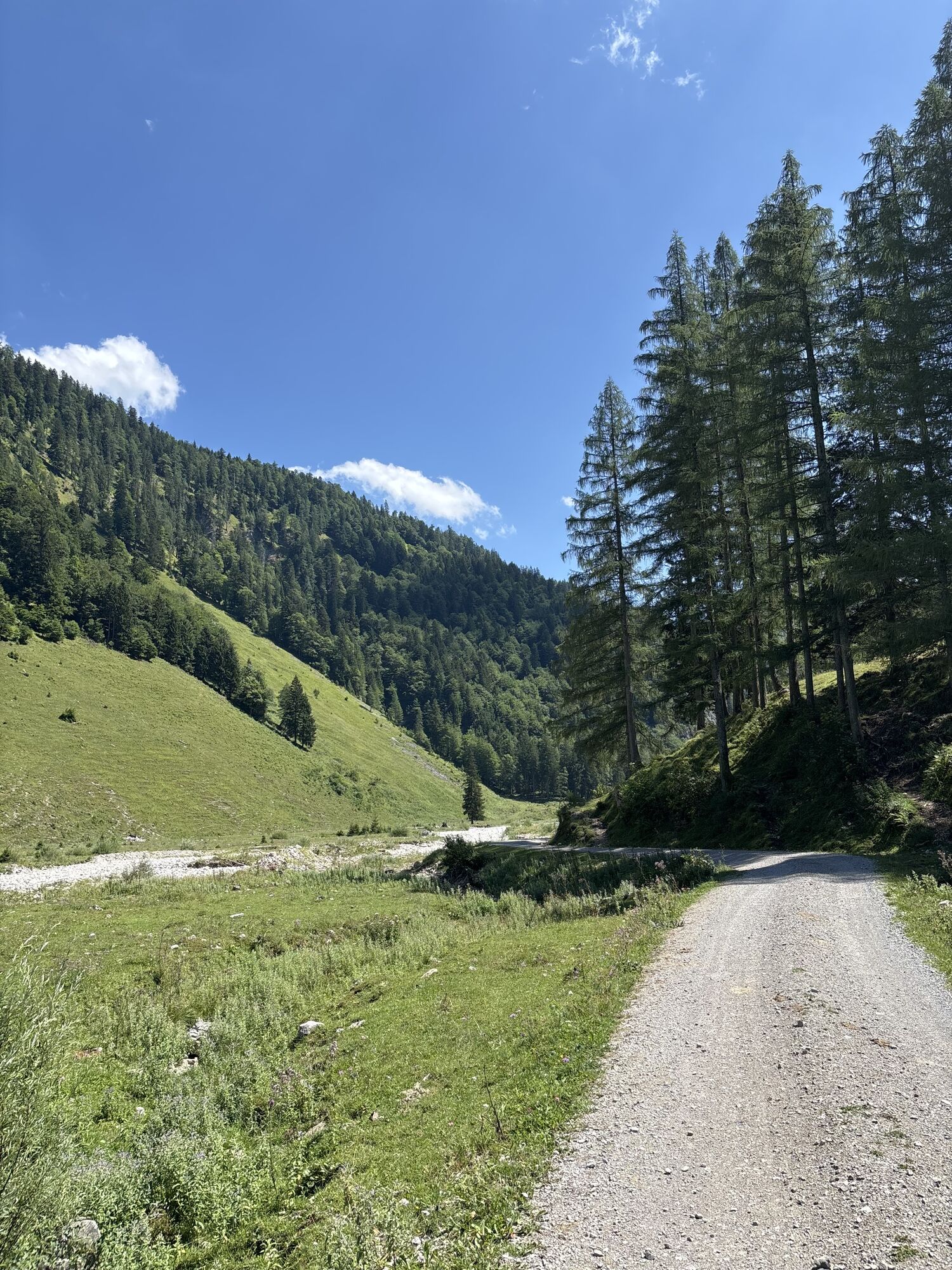
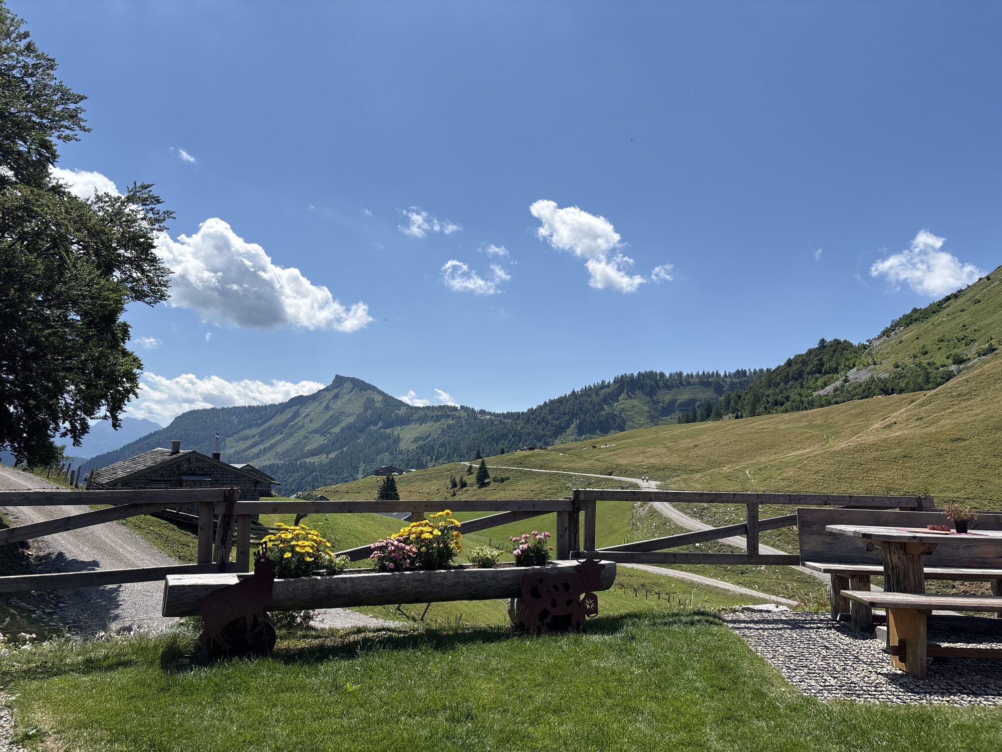
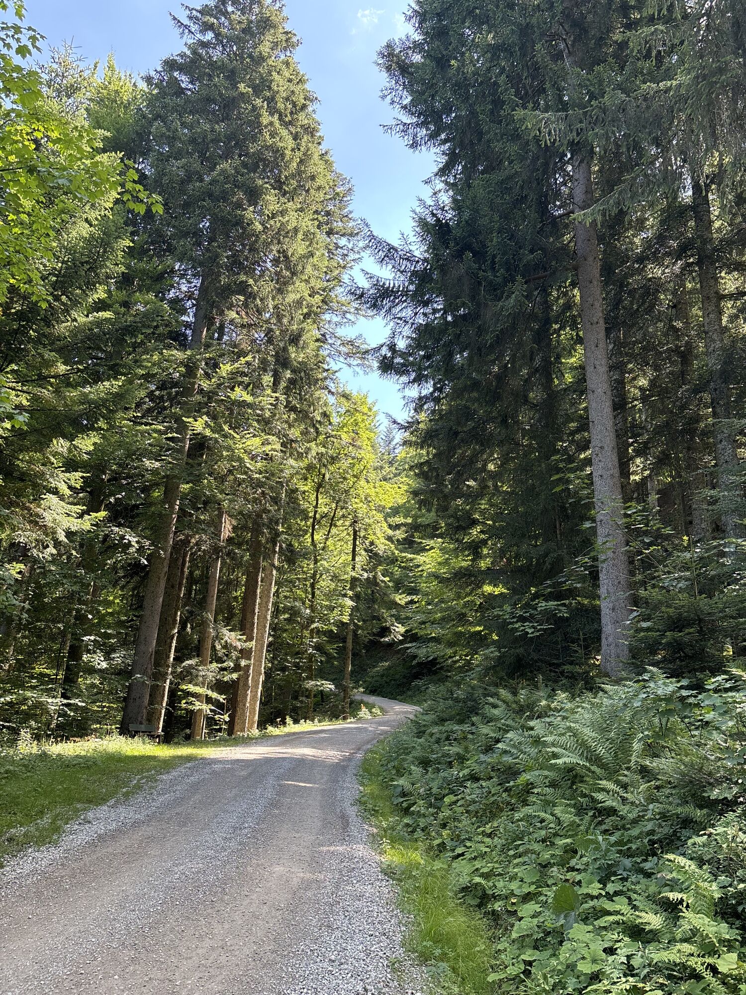
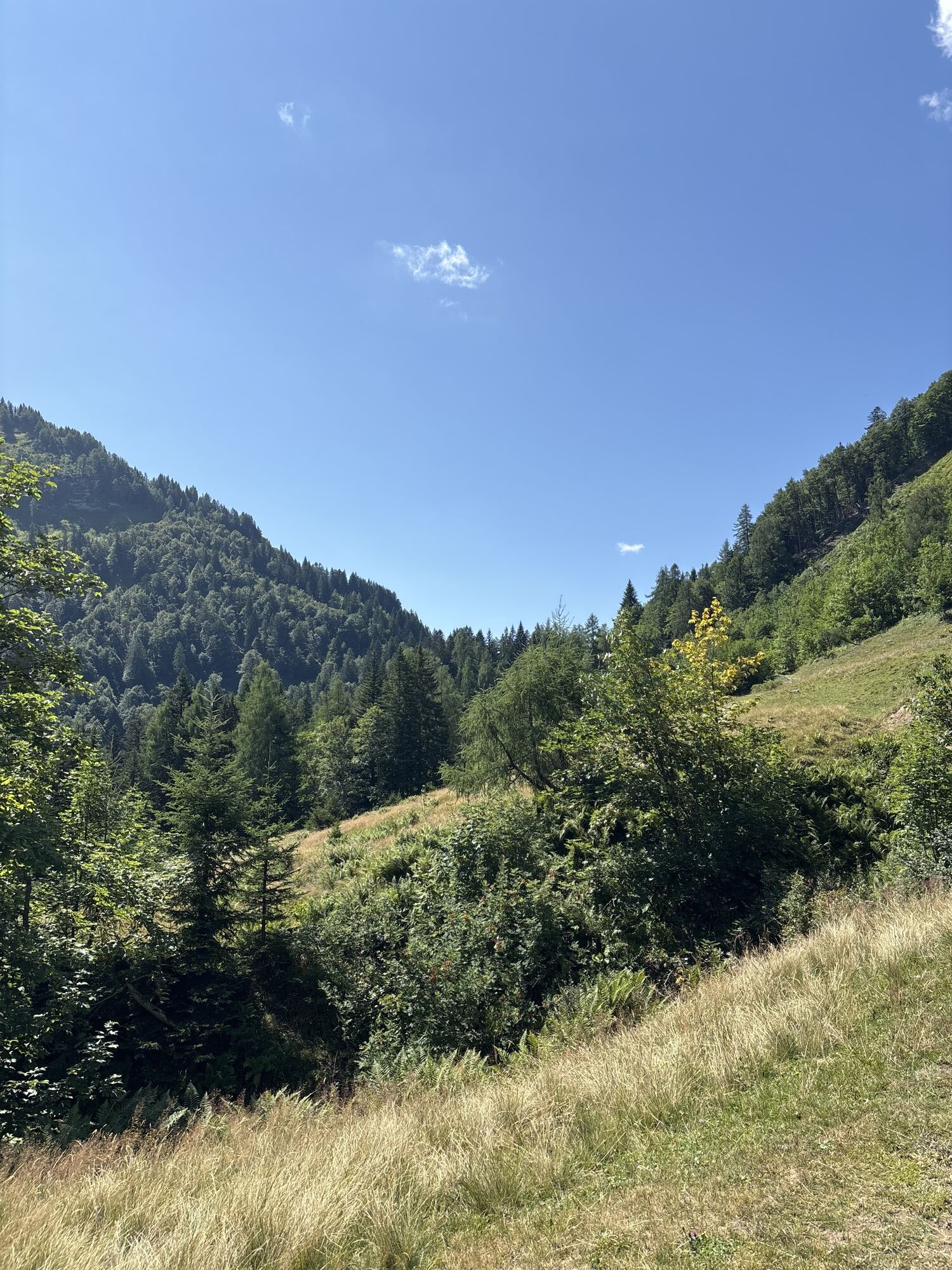
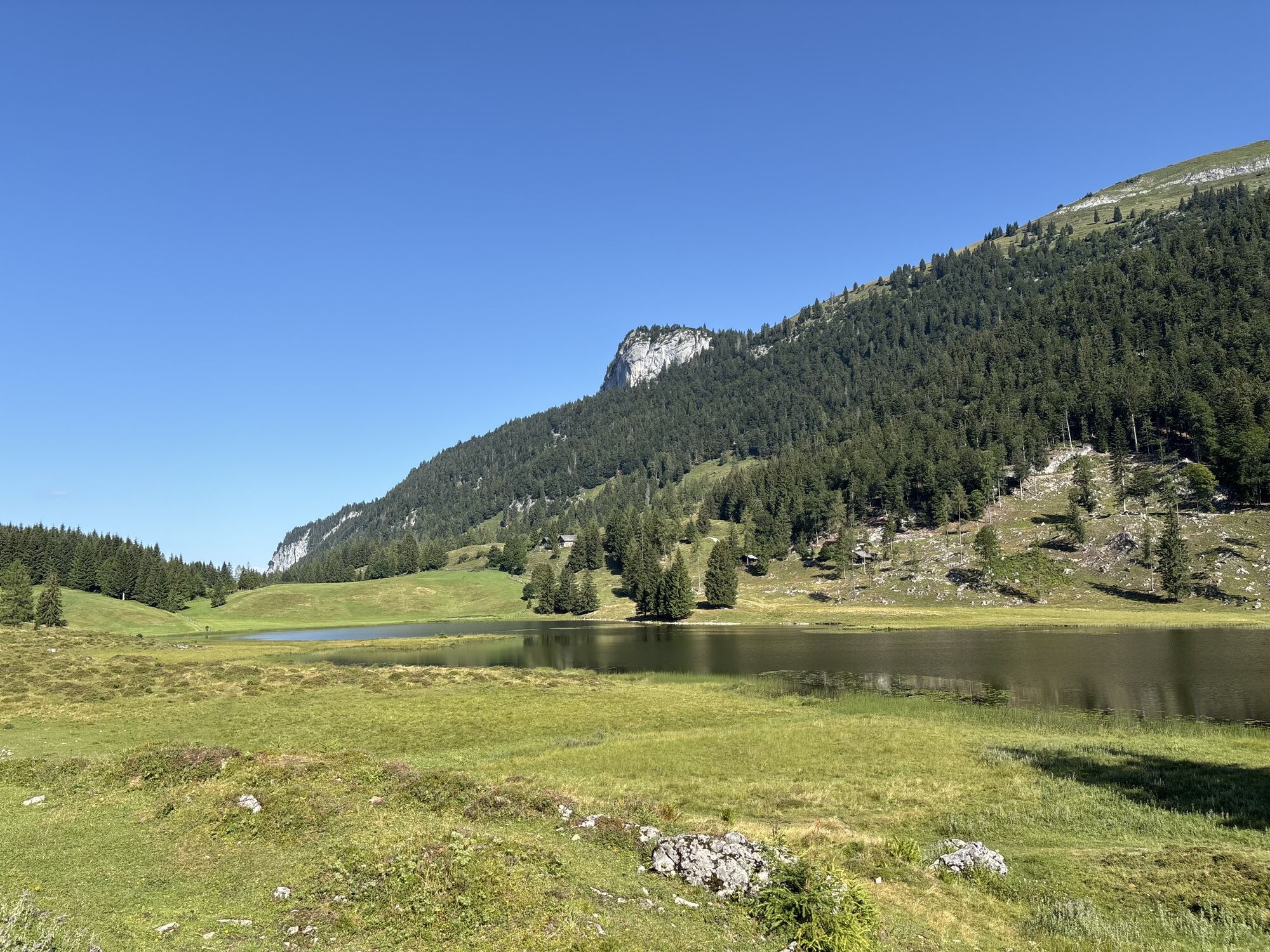
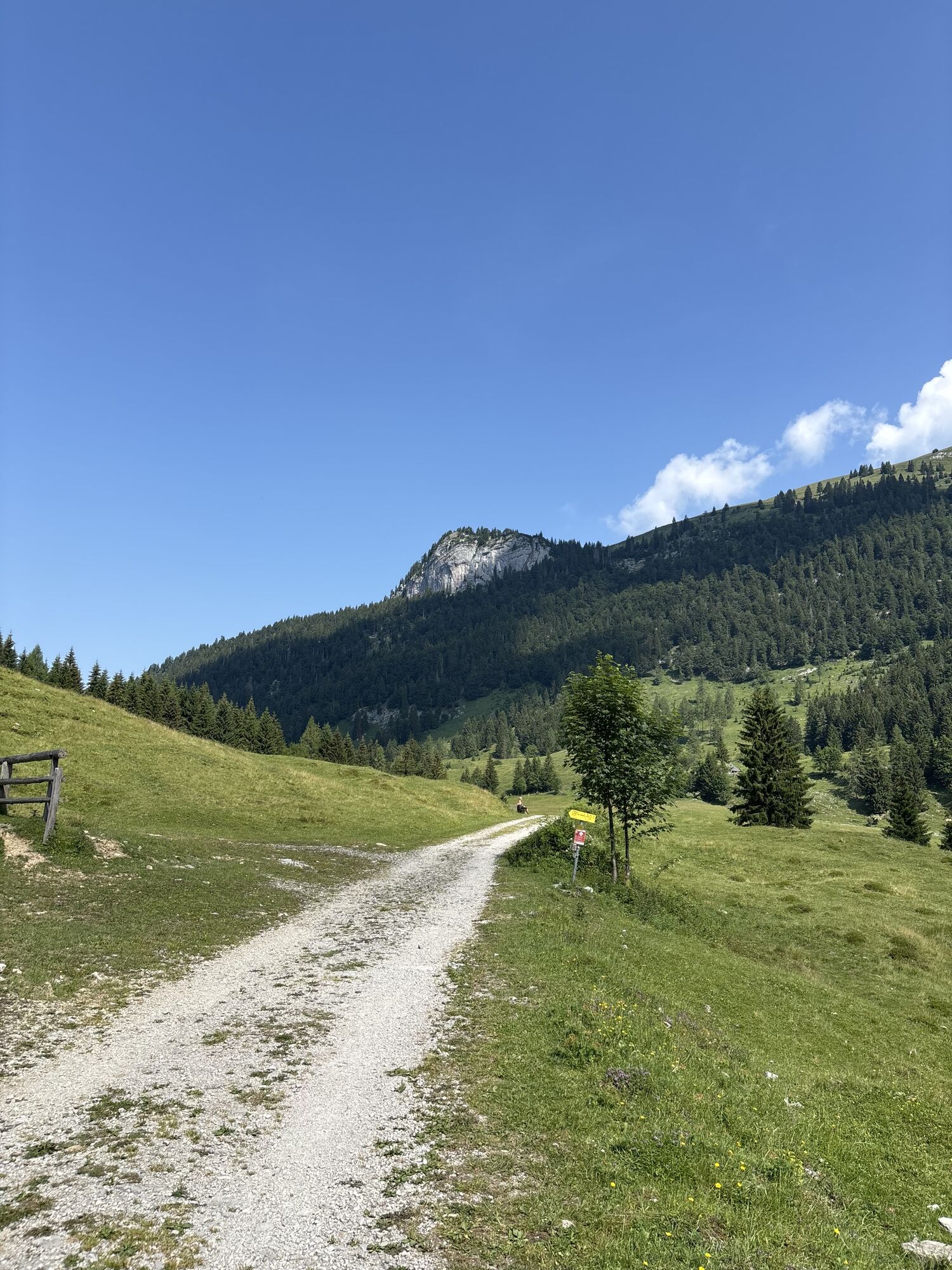
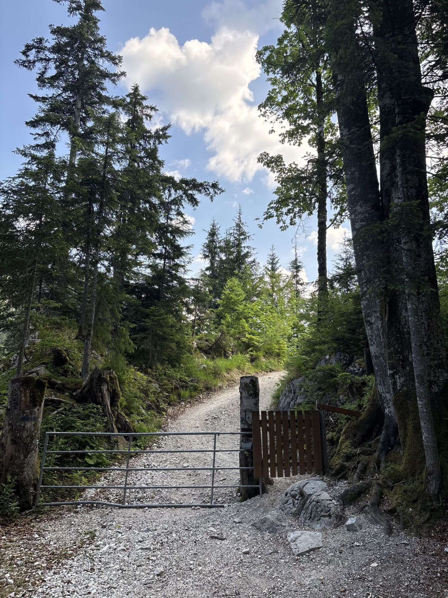
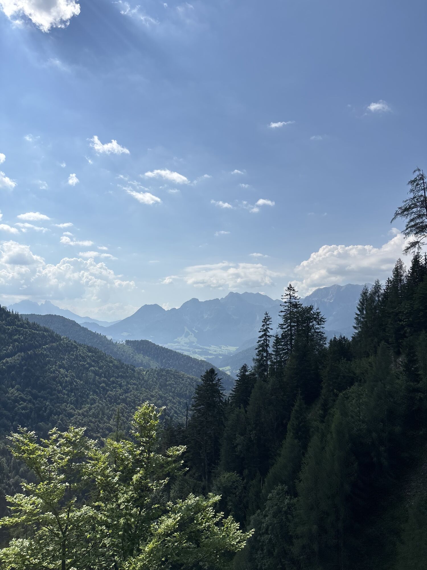
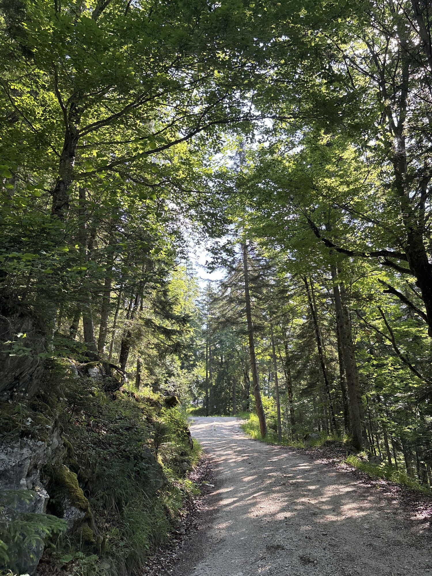
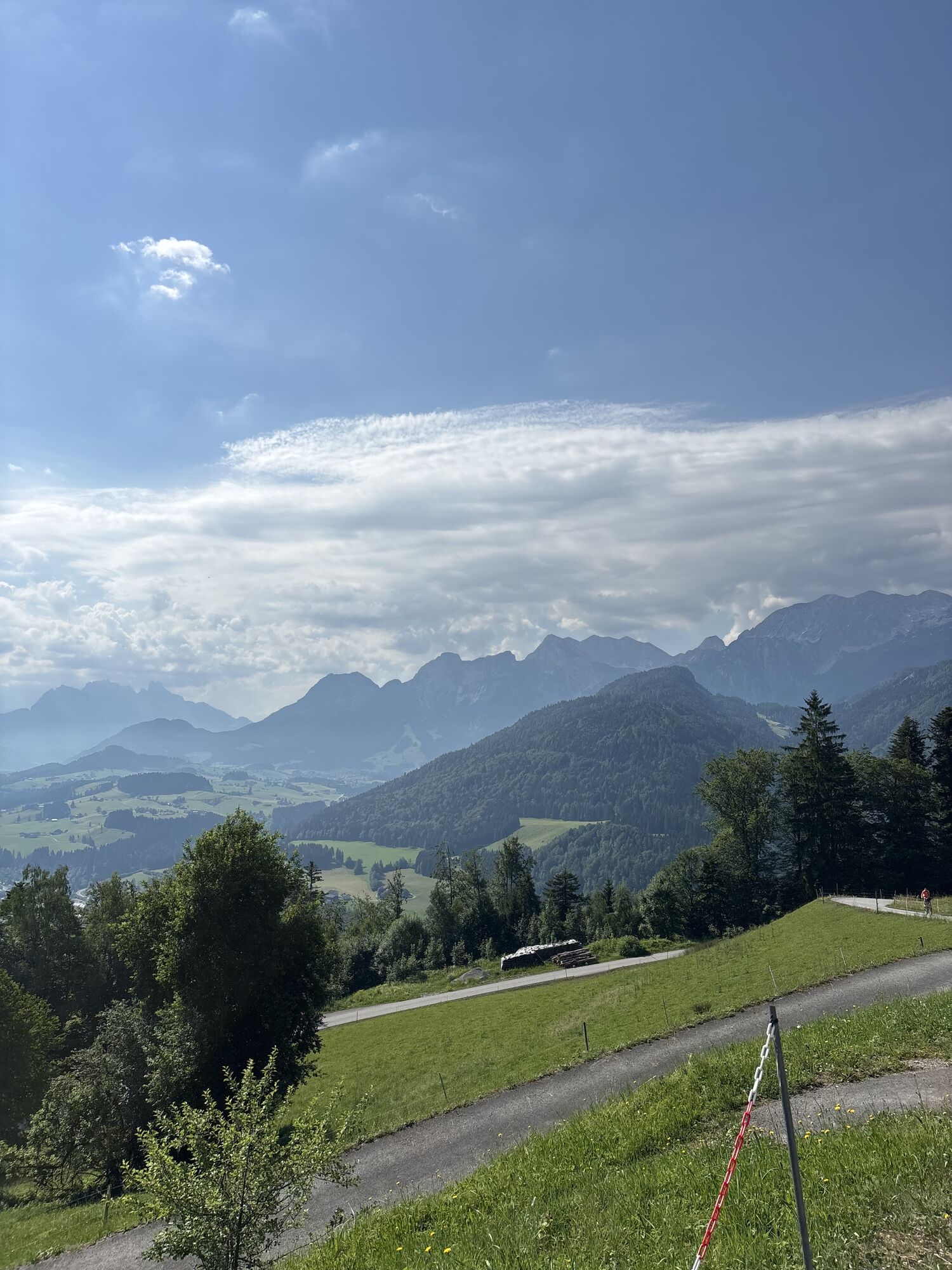
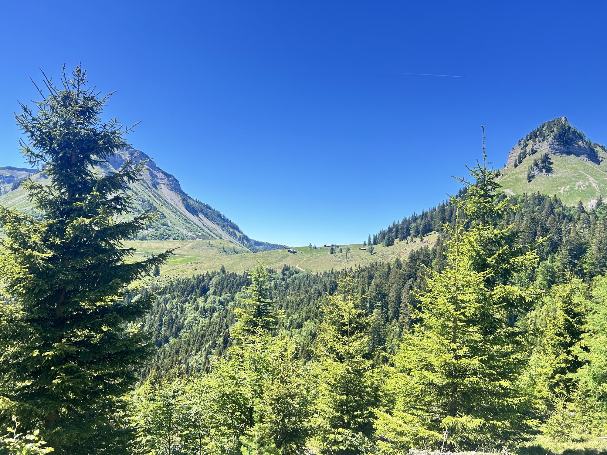
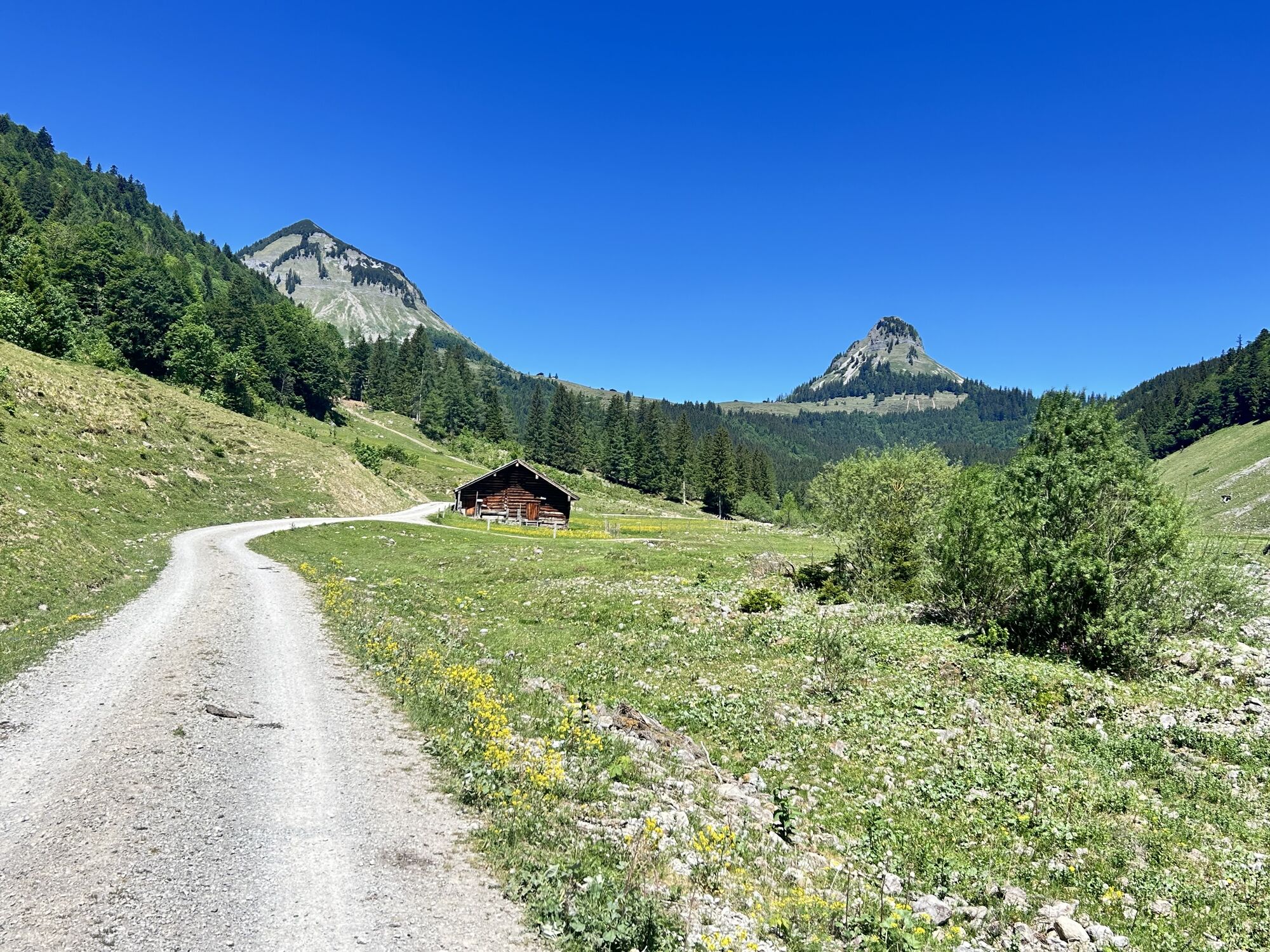
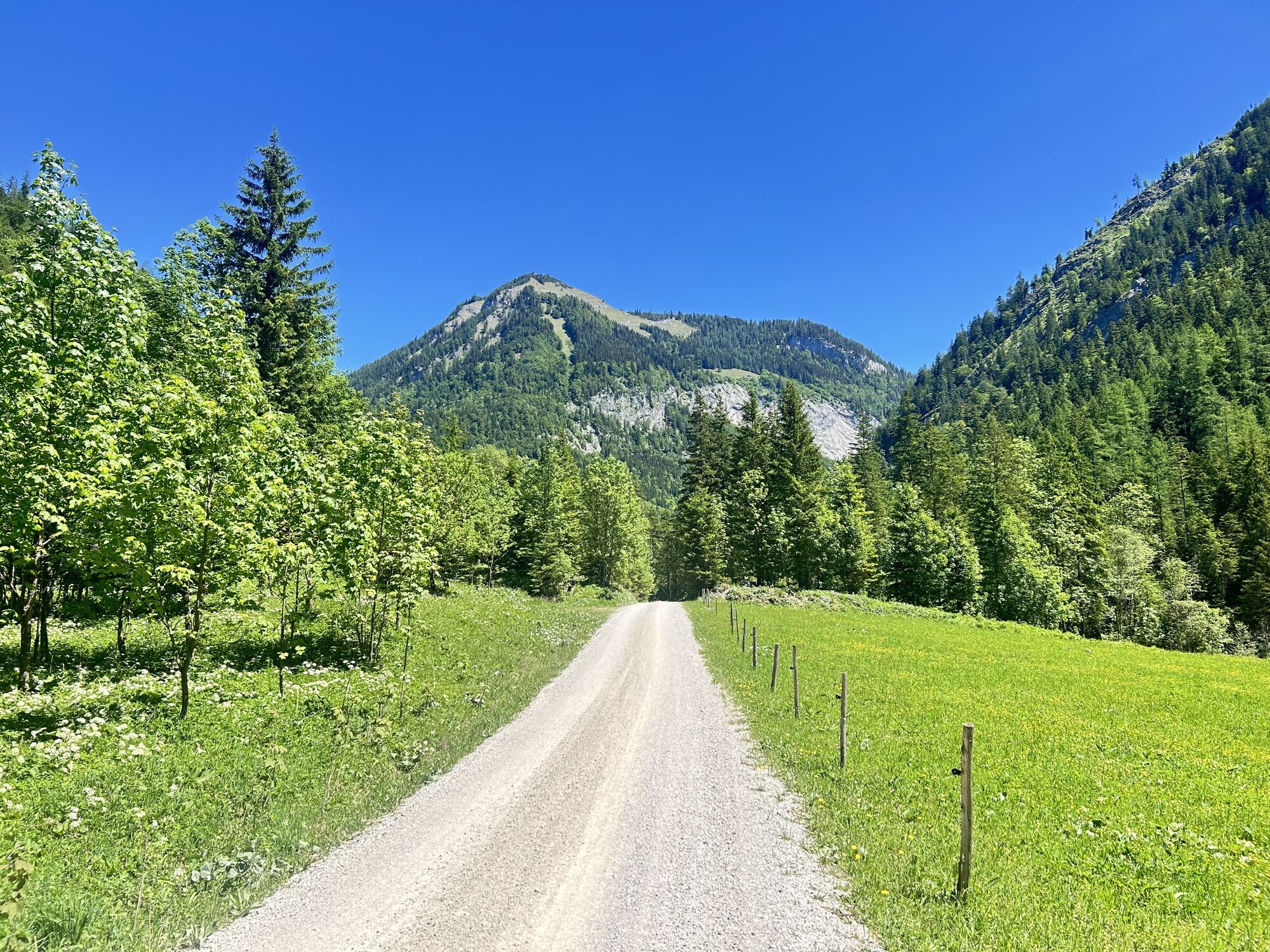
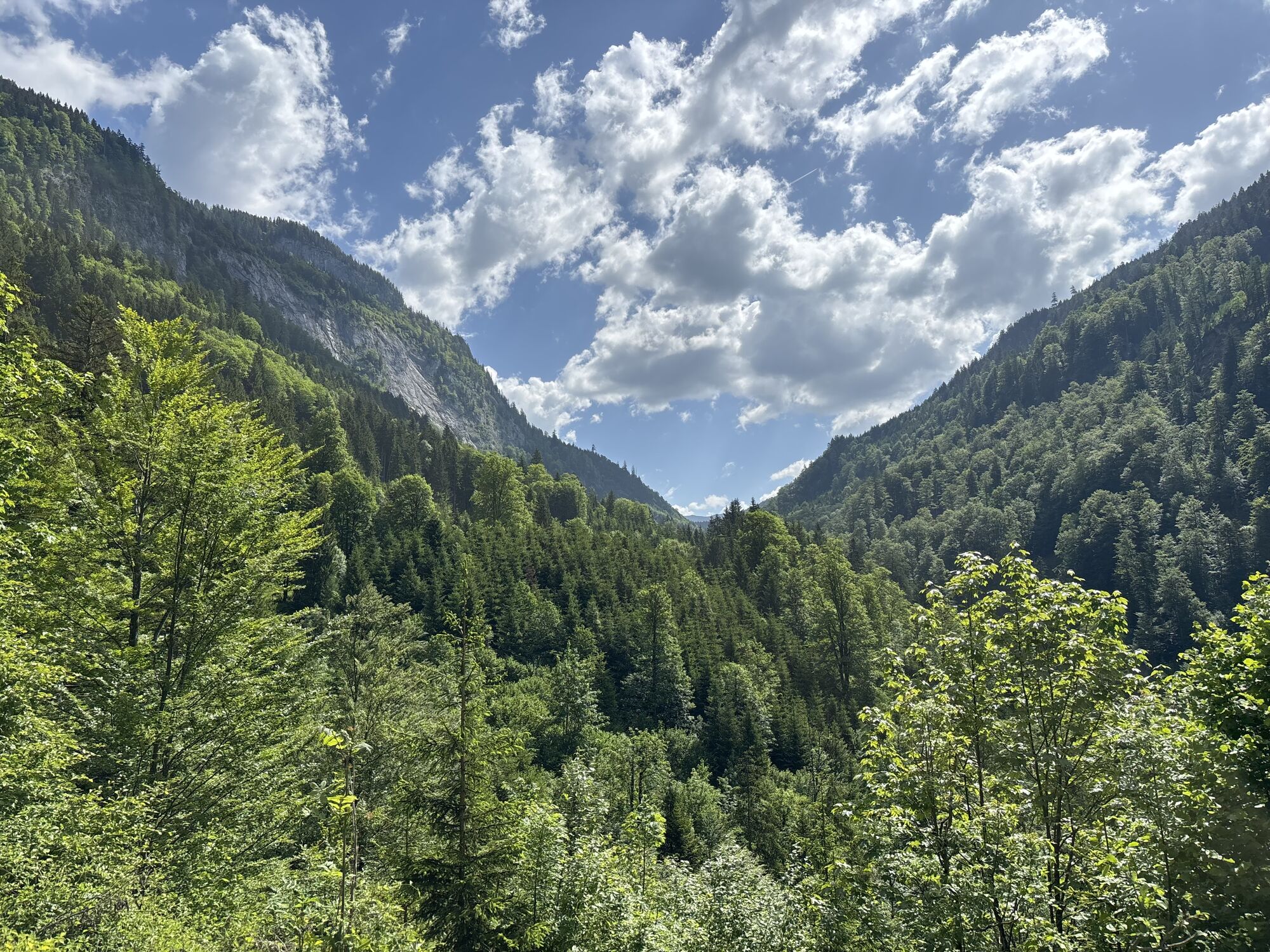
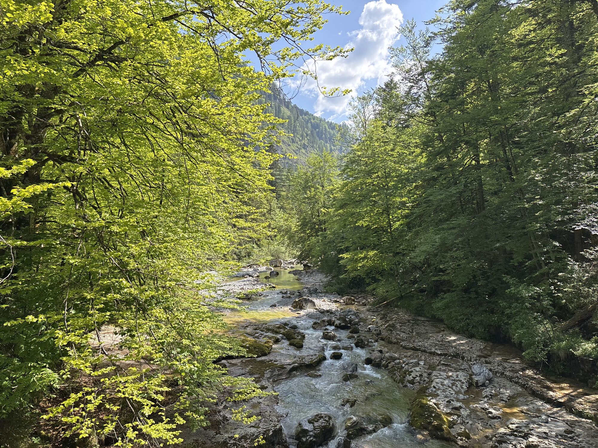
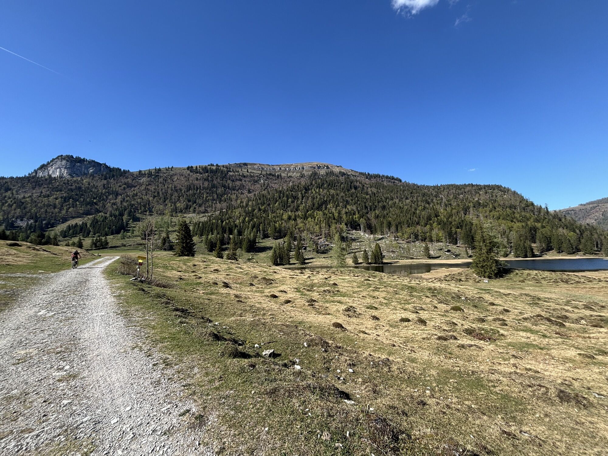
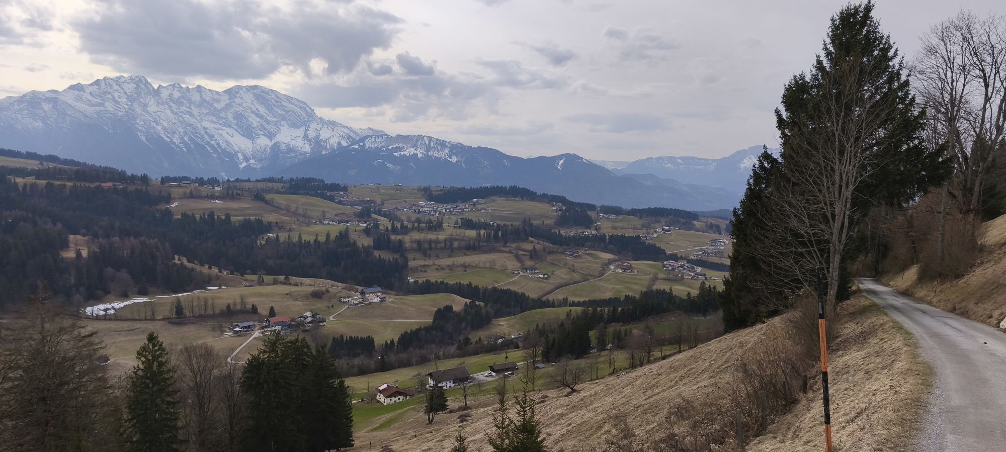
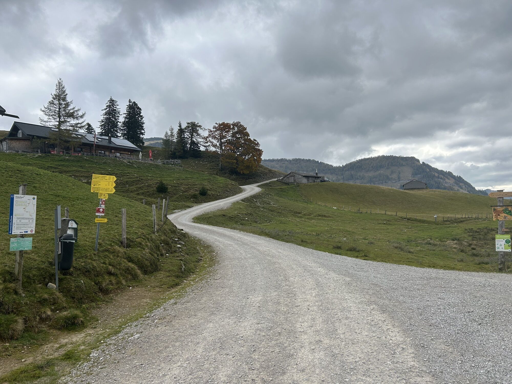
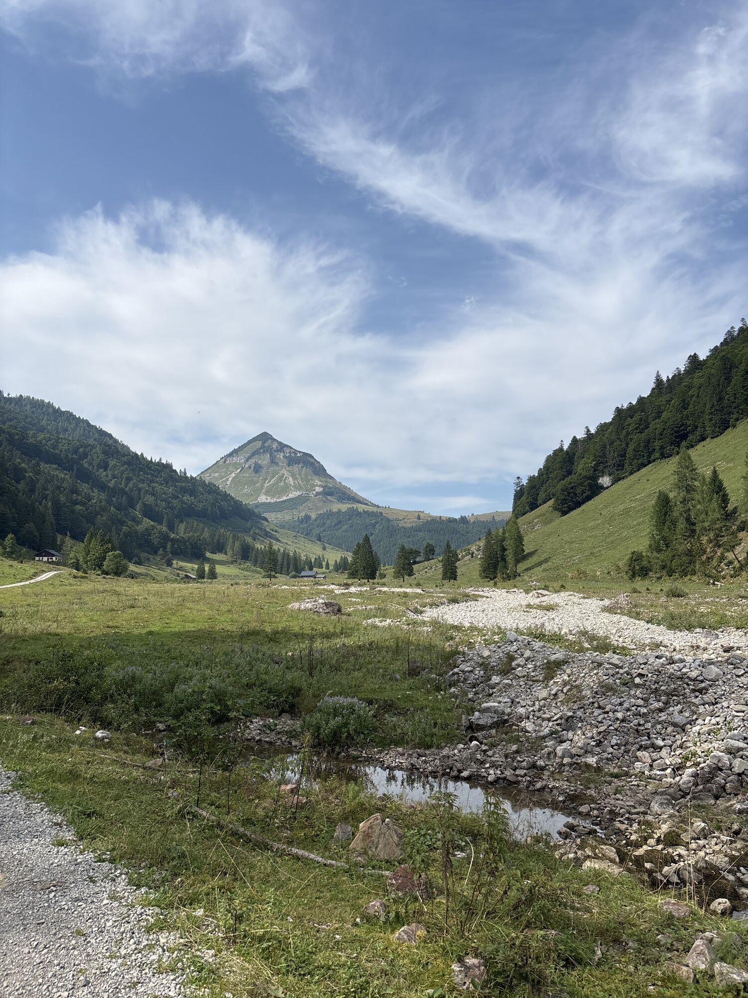
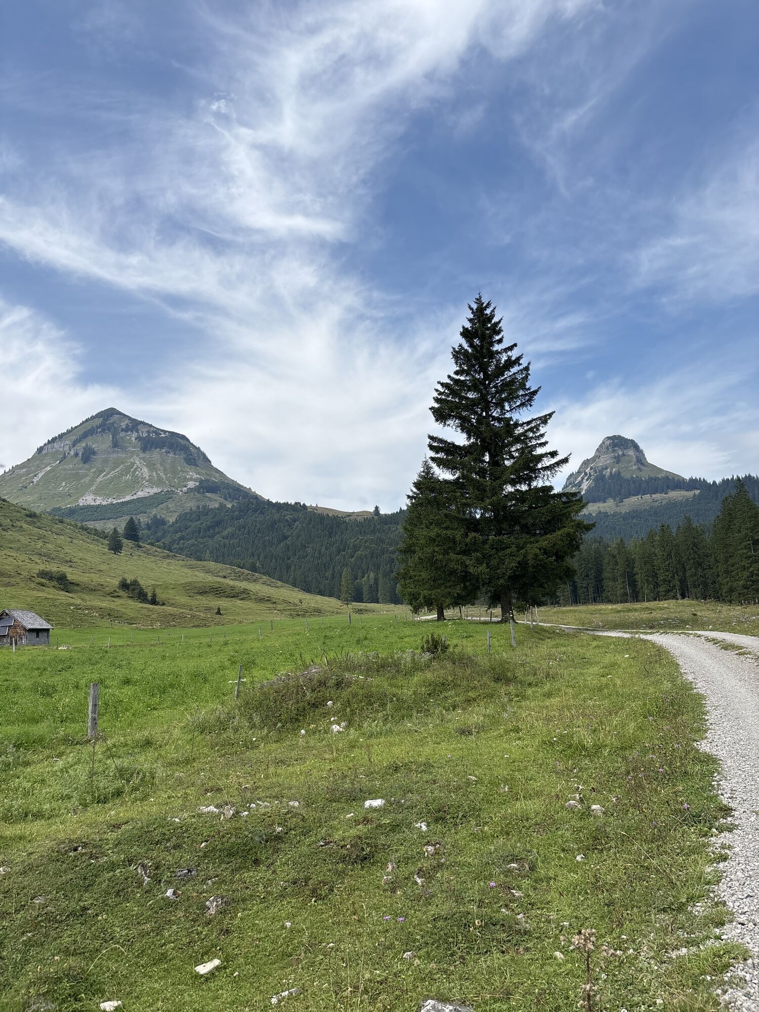
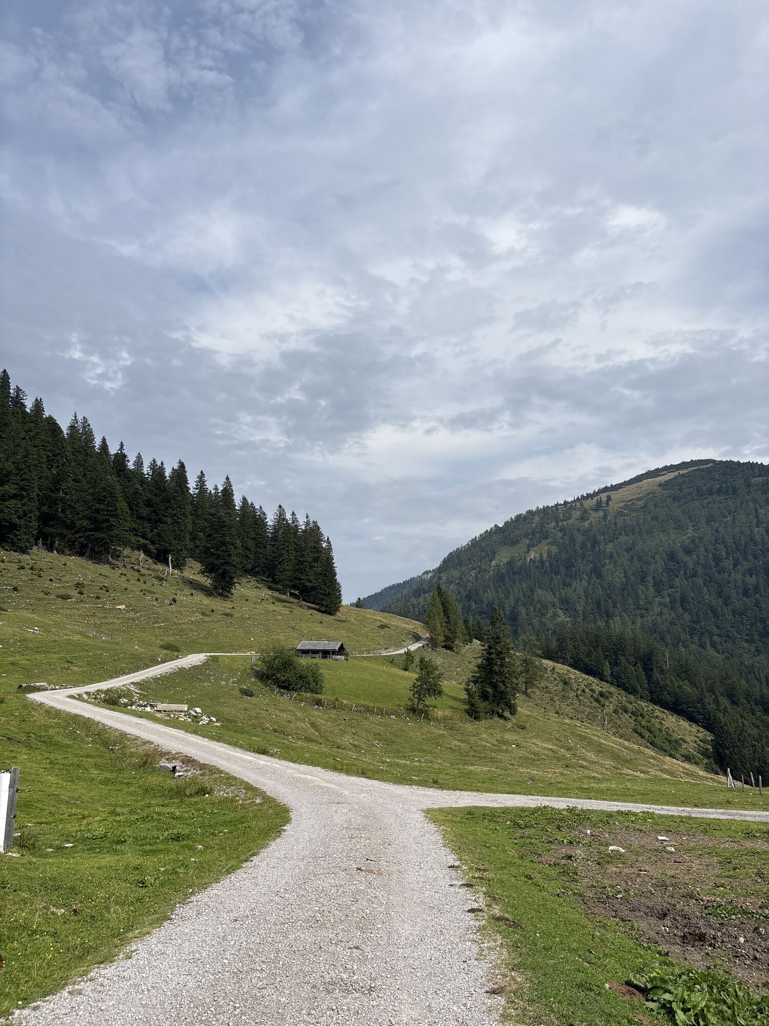
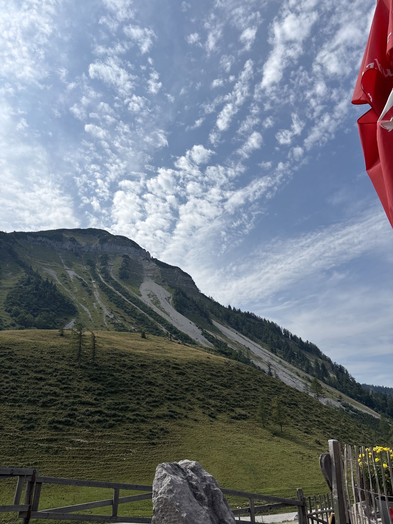
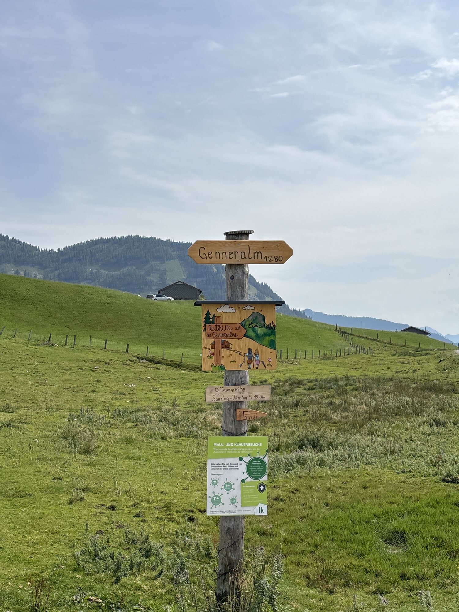
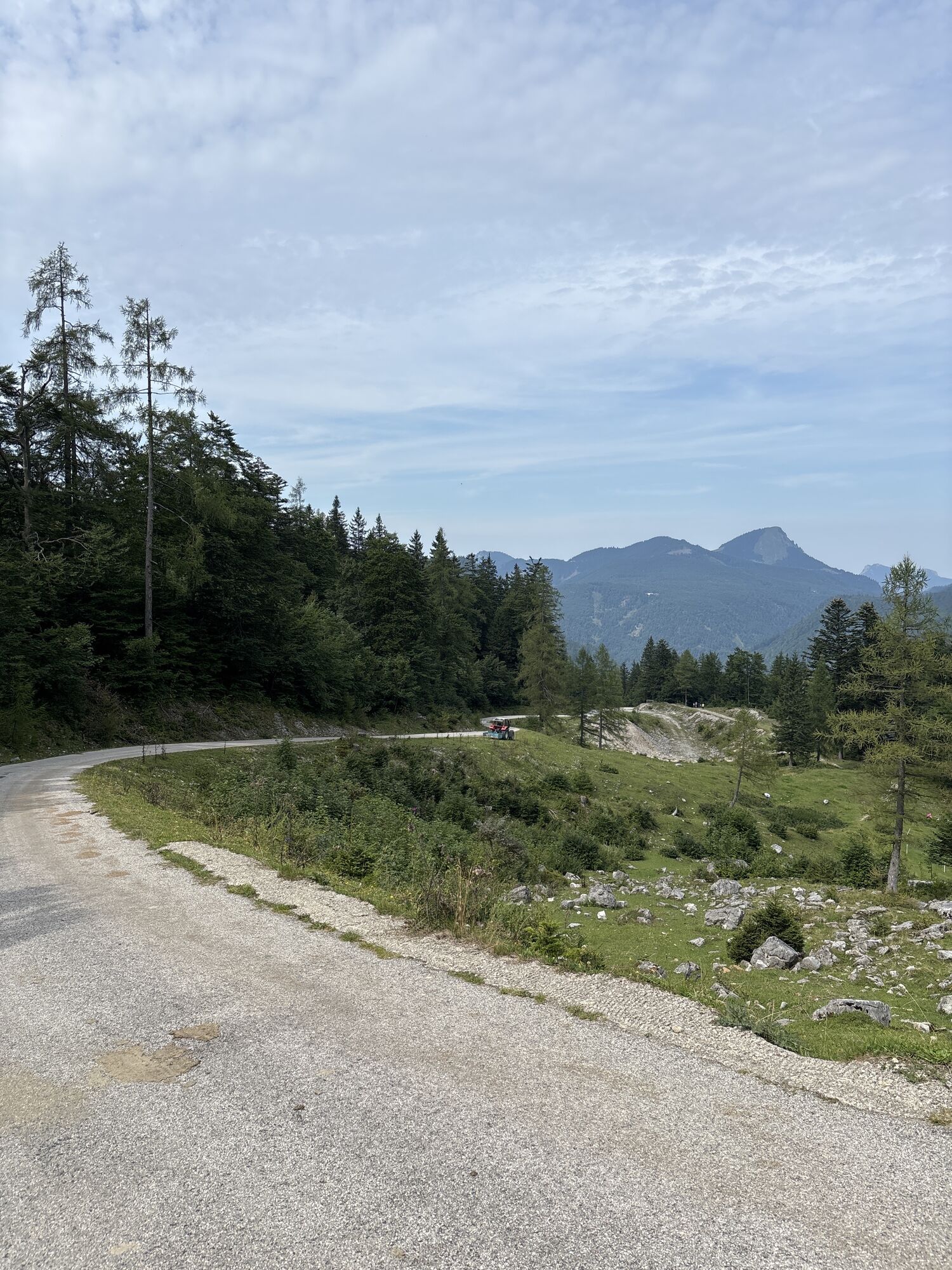
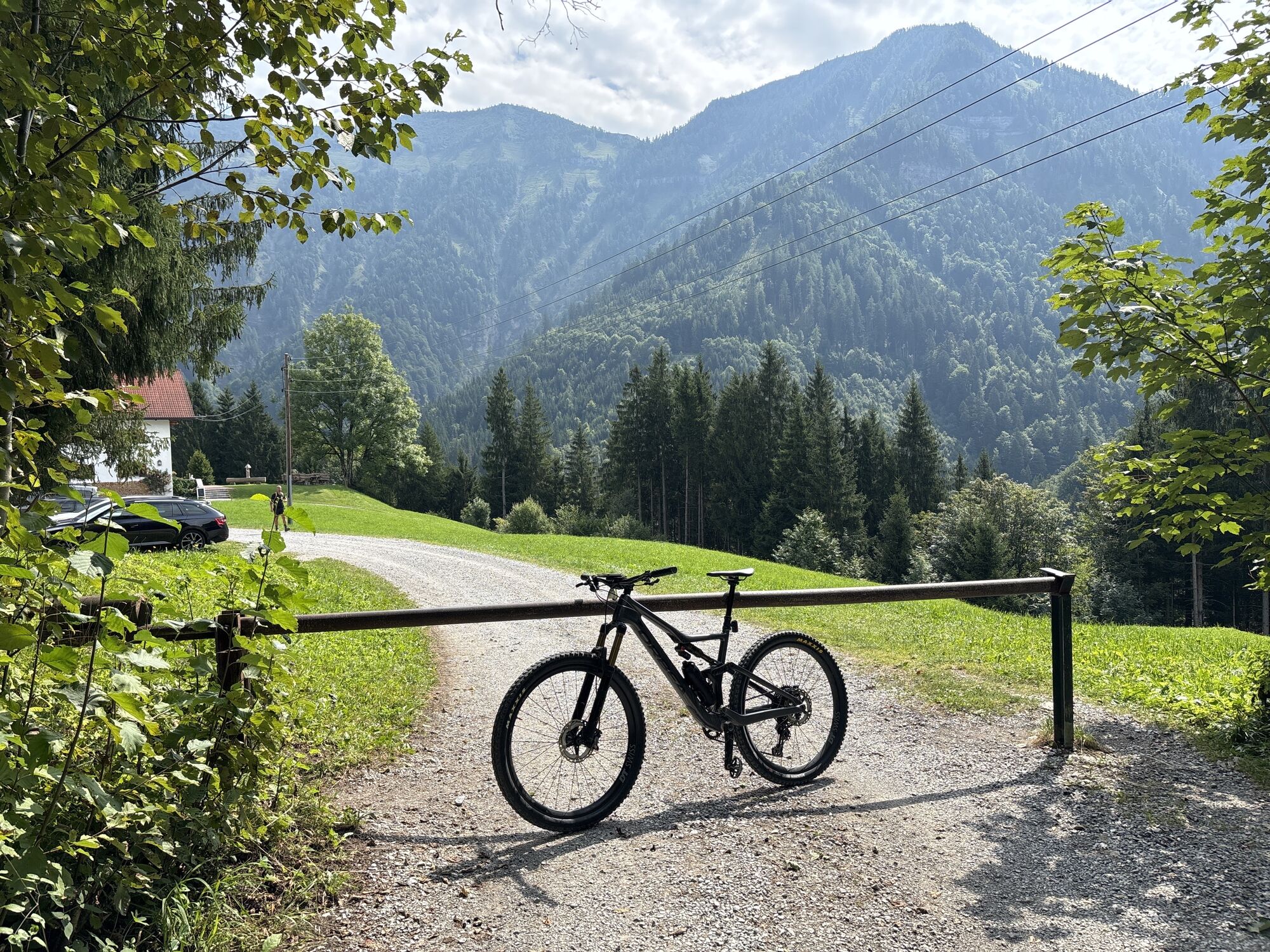
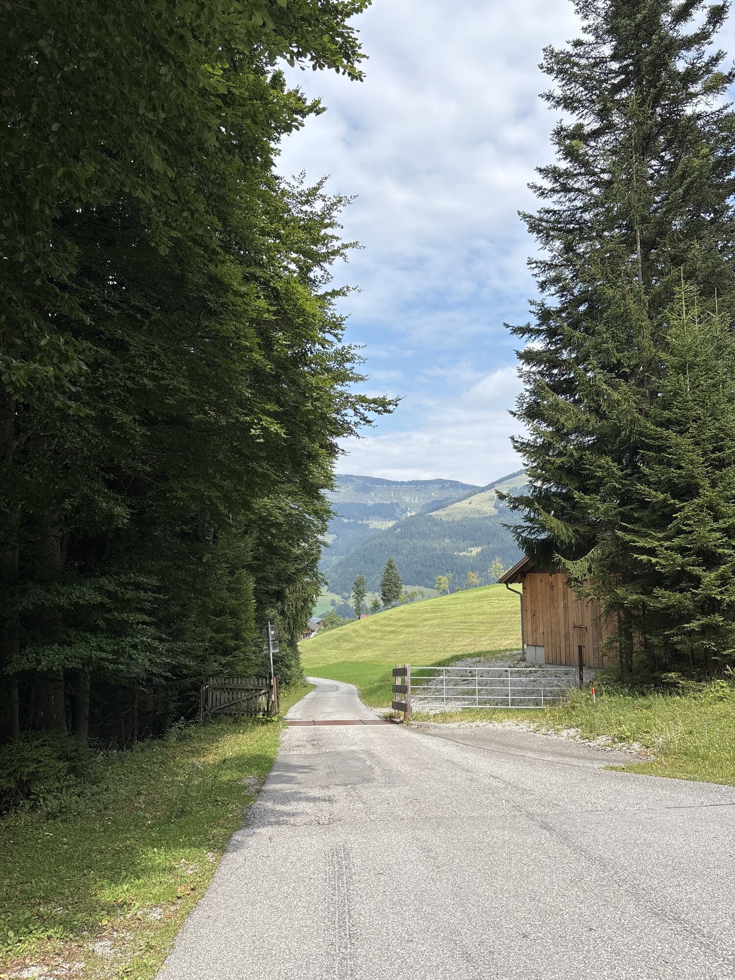
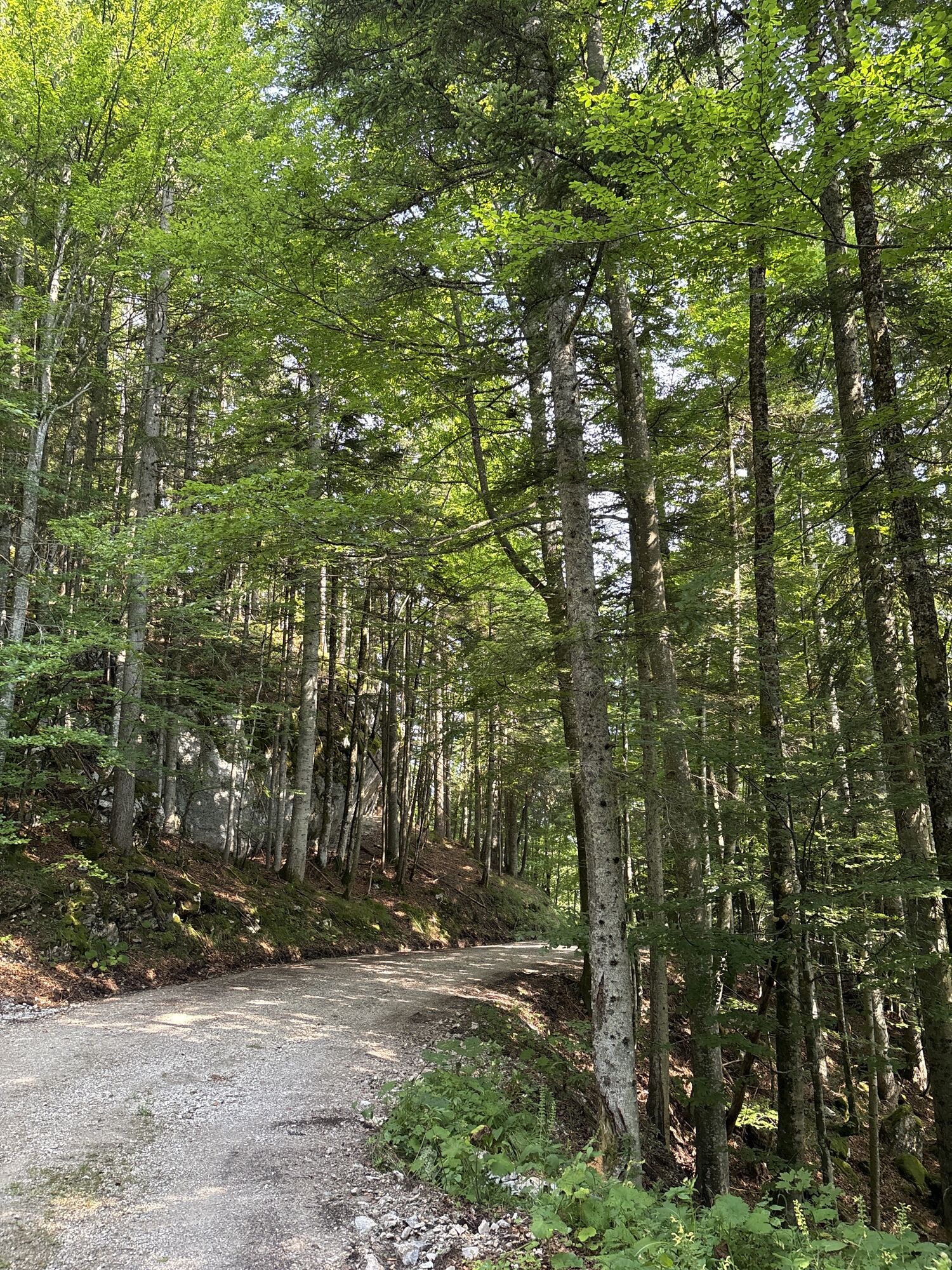
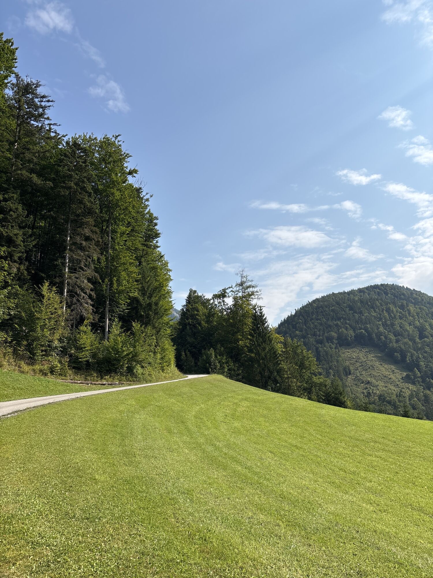
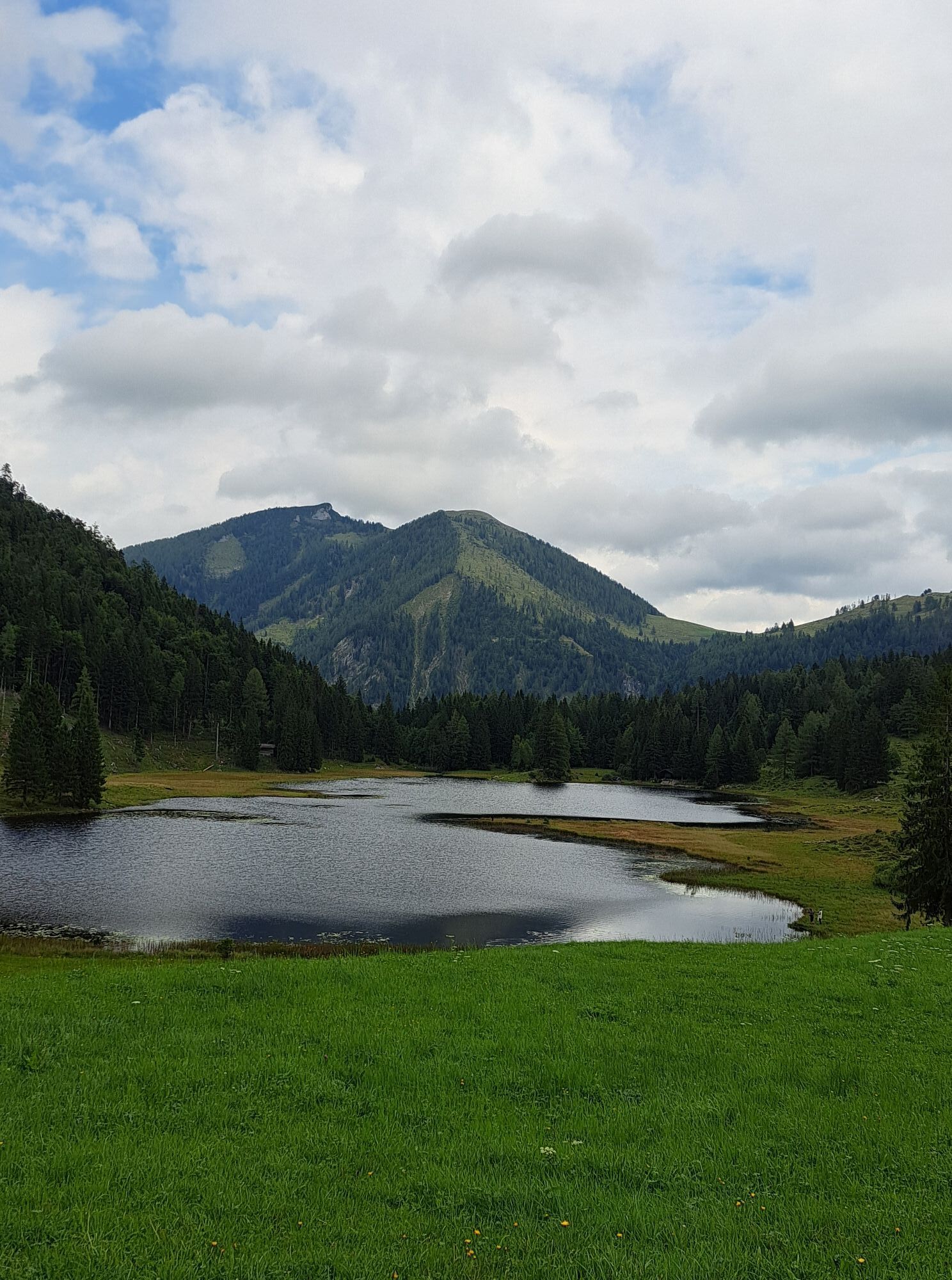
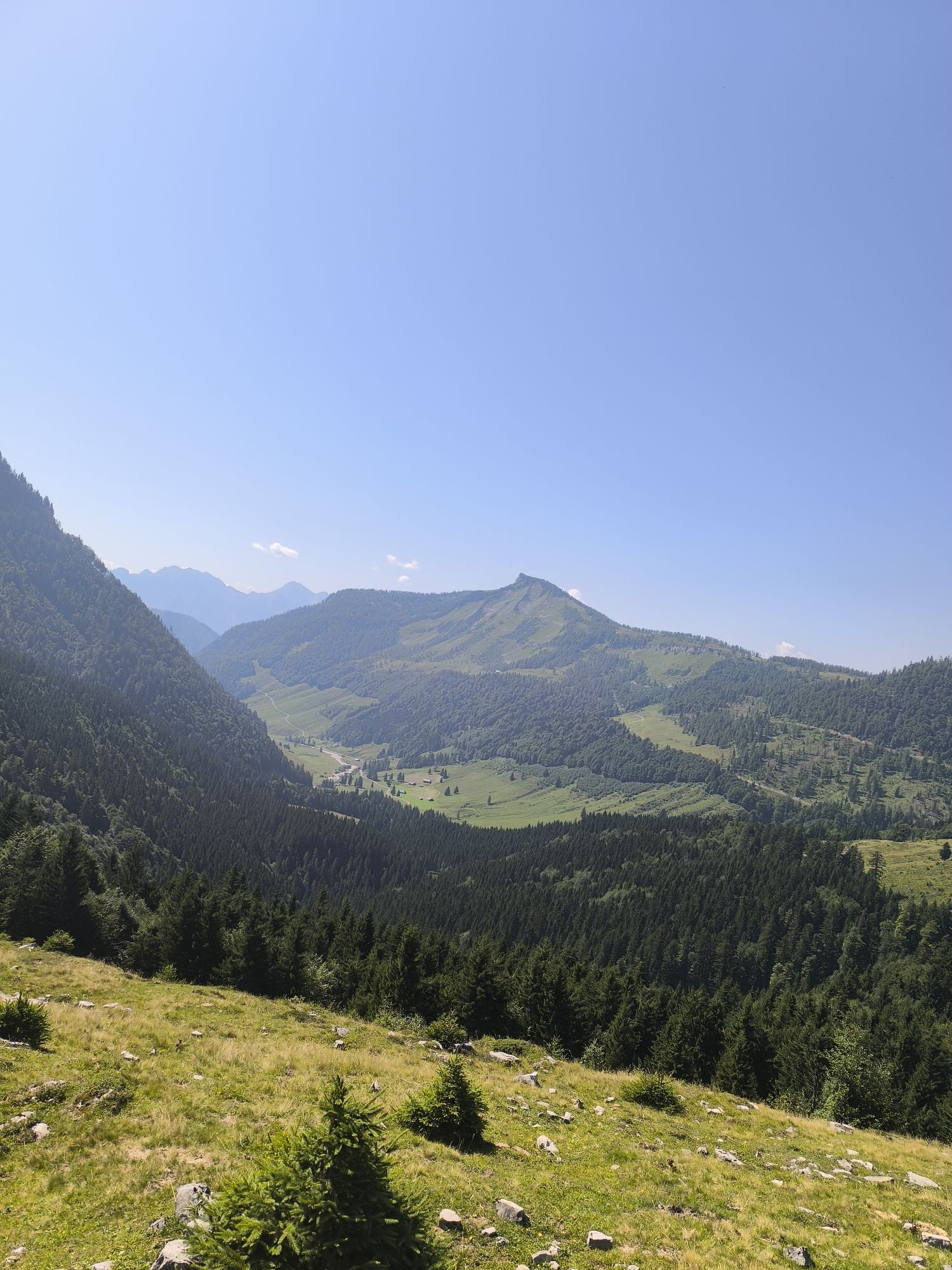
This wonderful mountain bike round initially runs to the Seewaldsee nature reserve. Between Schmittenstein and Regenspitze, the route passes various alpine pastures down to Hintersee. Along the valley...
This wonderful mountain bike round initially runs to the Seewaldsee nature reserve. Between Schmittenstein and Regenspitze, the route passes various alpine pastures down to Hintersee. Along the valley inward following the Lämmerbach, it leads to the saddle of the Genneralm, where you can enjoy the magnificent view. Through the Ackersbach valley, you return to the starting point.
This route is the most challenging and varied mountain bike tour in the Abtenau area - an absolute highlight of a mountain bike holiday.

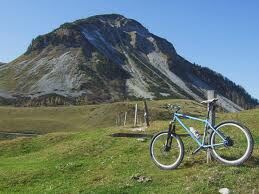
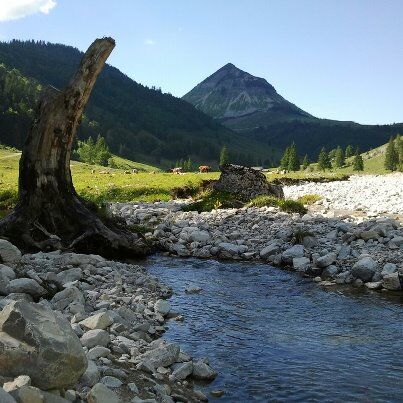
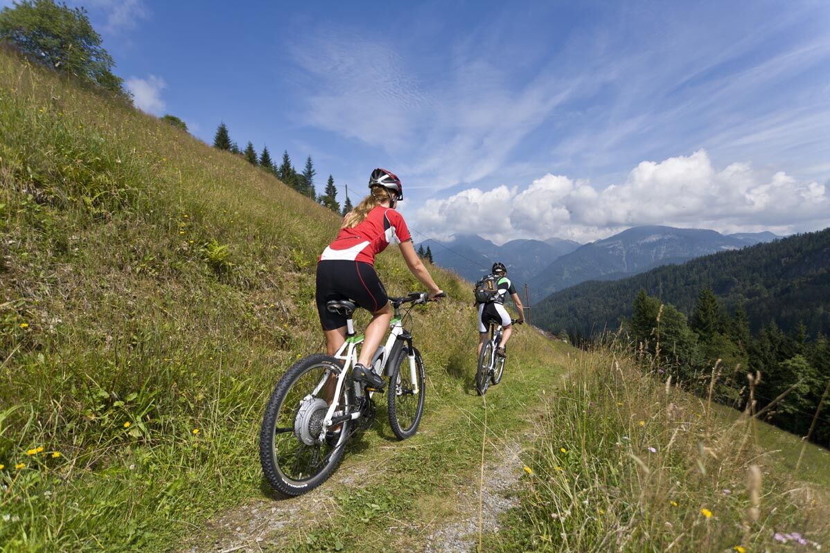
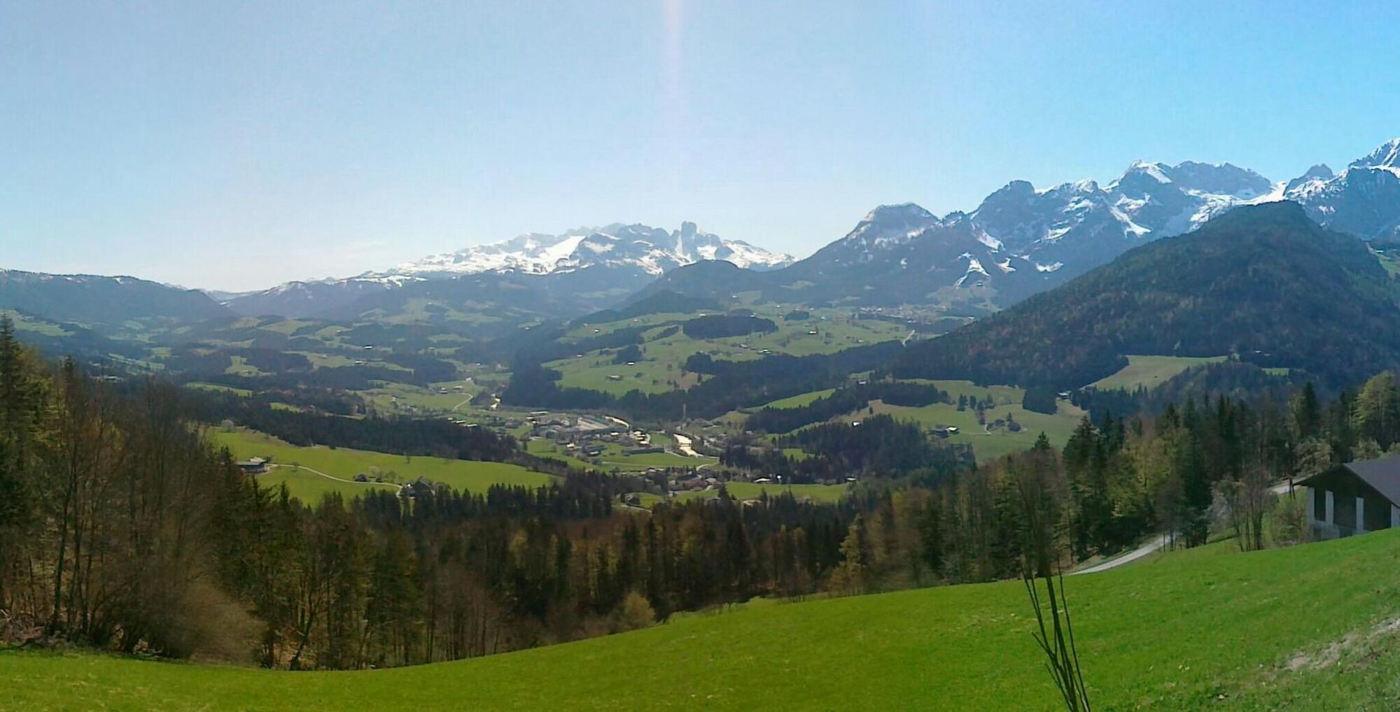
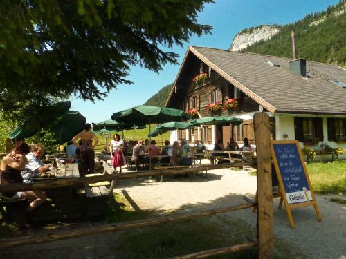
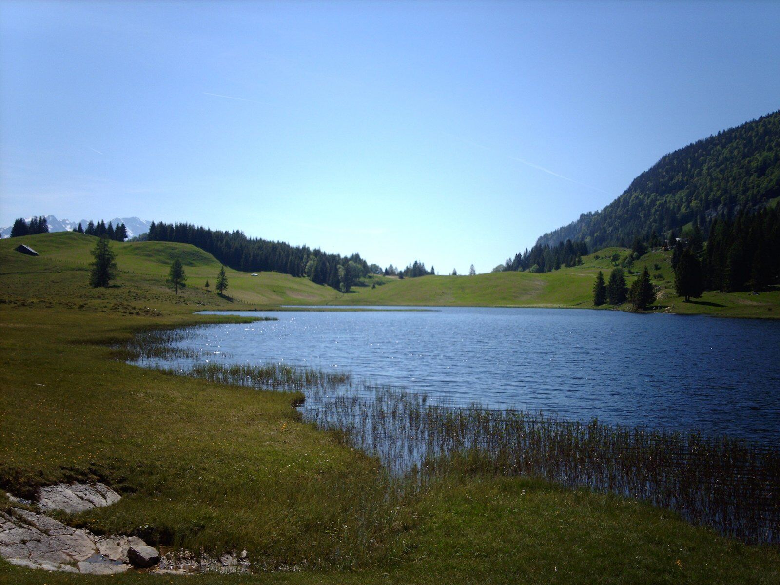
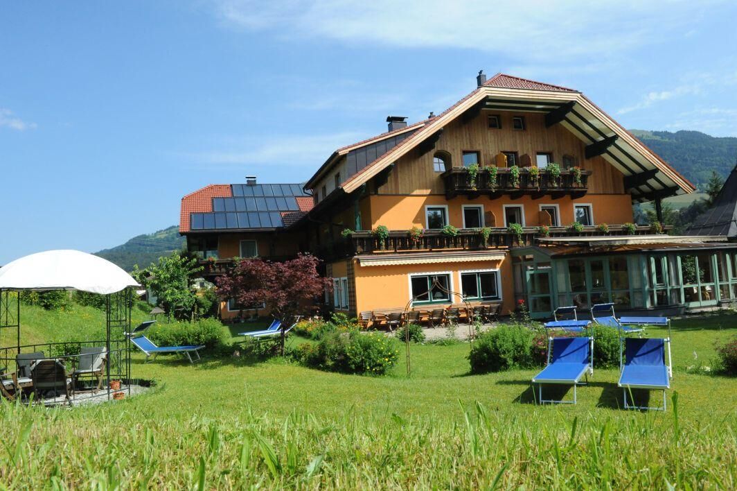
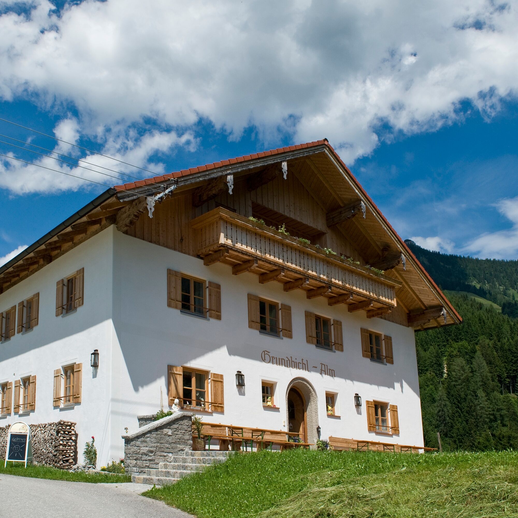
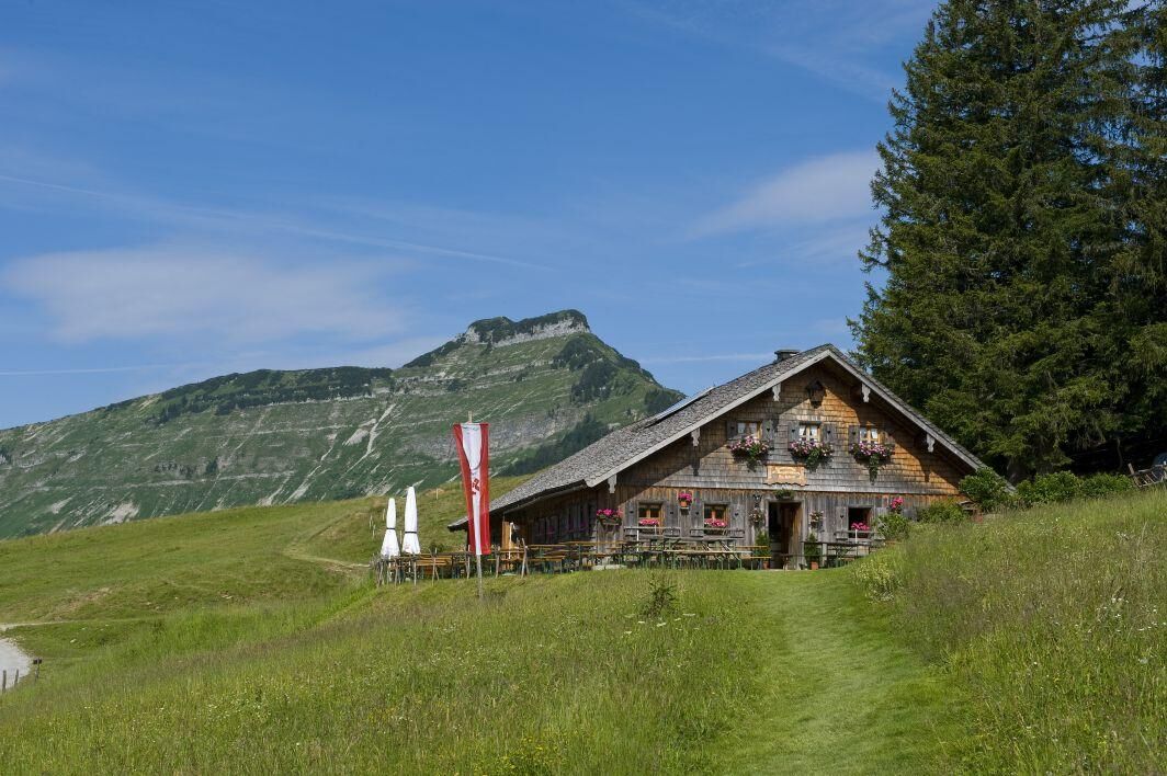
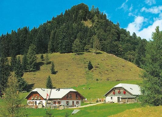

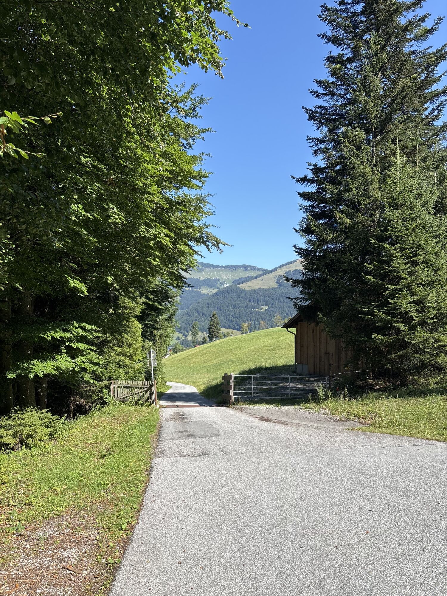
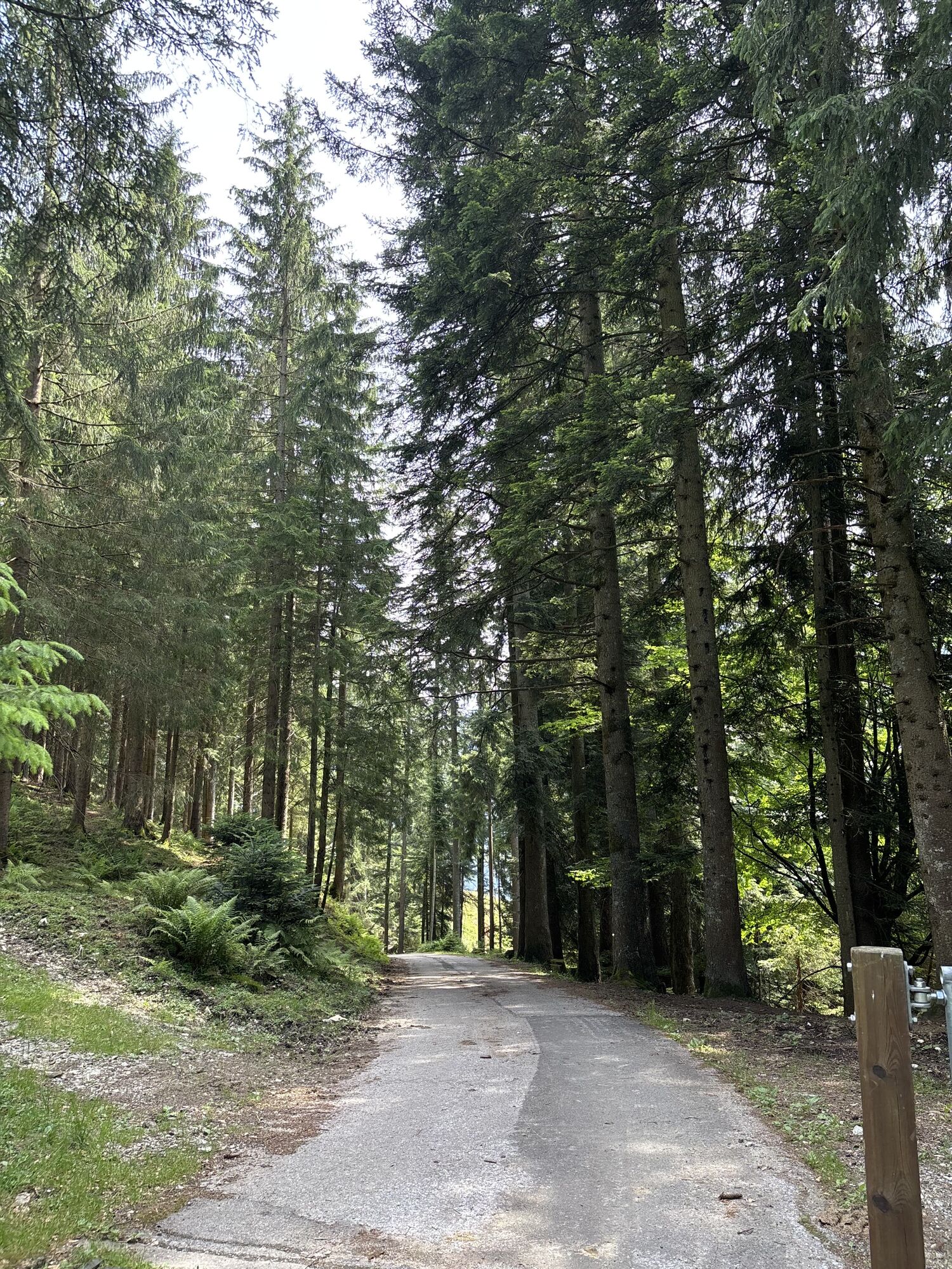
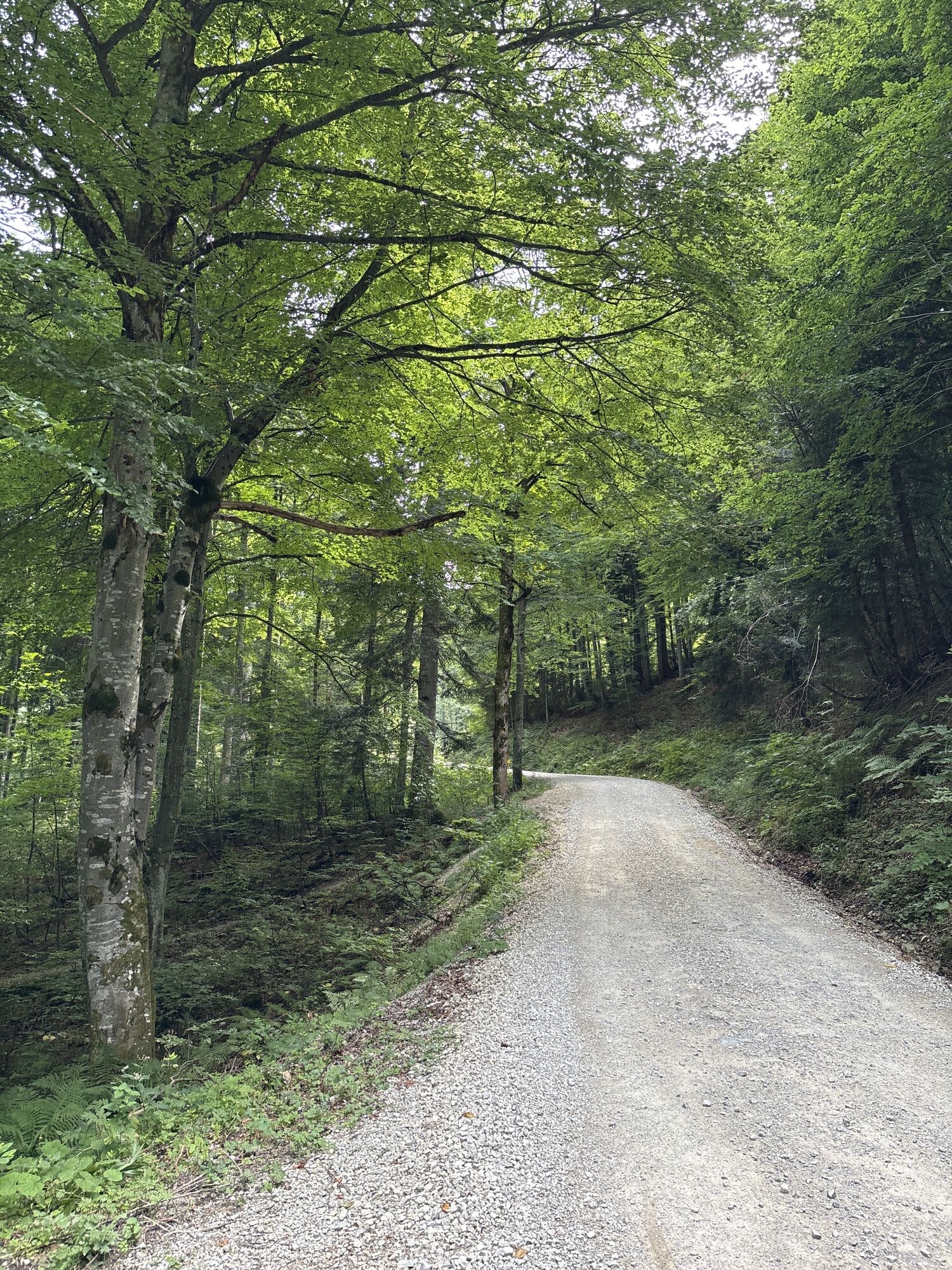
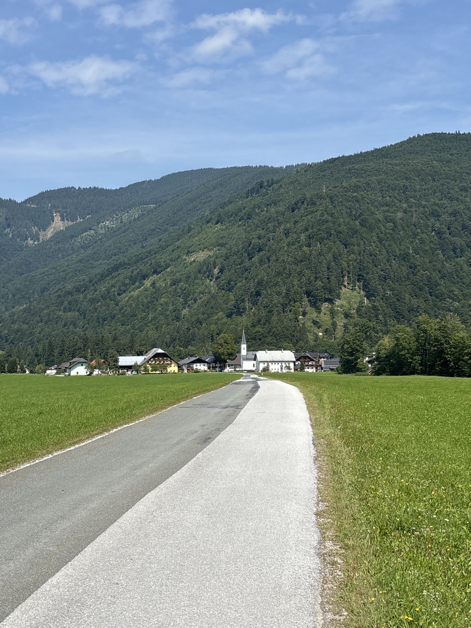
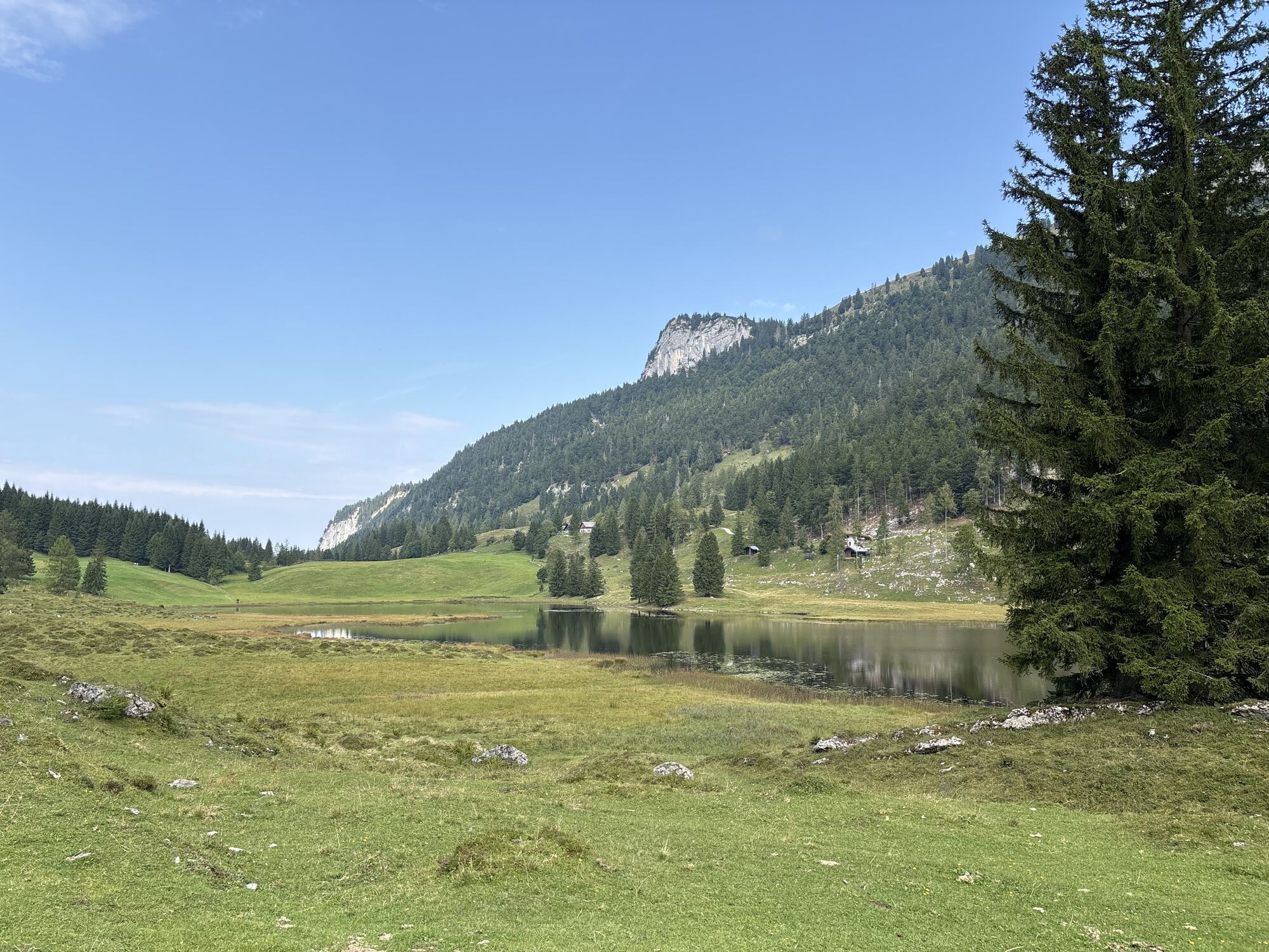
The route starts directly at the Gasthof Voglauerhof. After crossing the federal road and the bridge over the Lammer, turn left. After 600 m, turn right uphill, passing an abandoned gravel pit. Pass left of an old forester's house, later over a bridge, after 2.5 km turn right towards Seewaldsee, Kühbichl, Brunnbergbauer. Passing the farms, you reach a short descent at kilometer 5.1. Then continue uphill at a gentler gradient into the so-called Marchgraben. At kilometer 8.6, you reach the Seewaldsee nature reserve after a terrain edge. Here, be sure to take a break on one of the numerous benches or satisfy hunger and thirst at the Auerhütte at the western end of the lake.
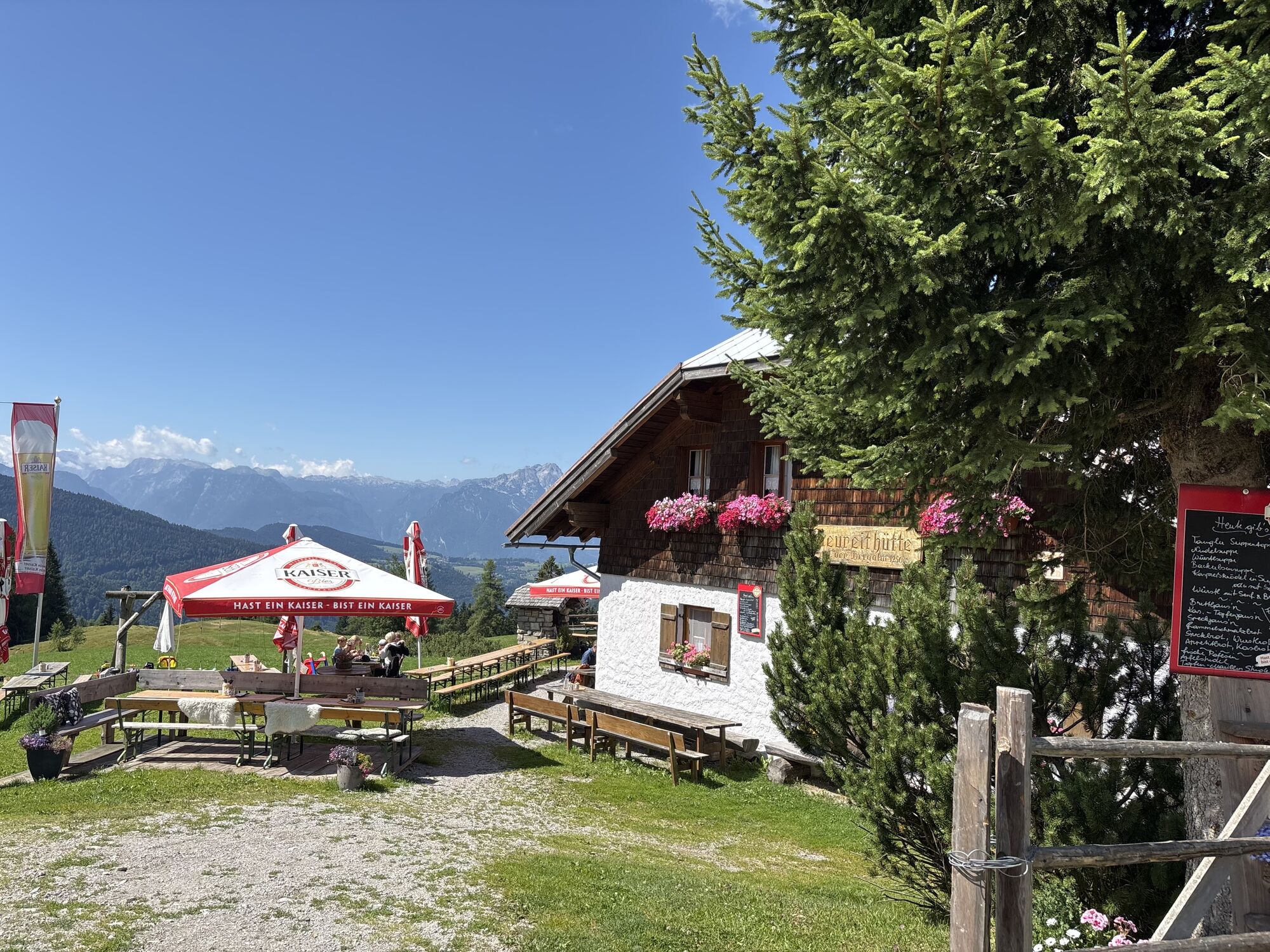
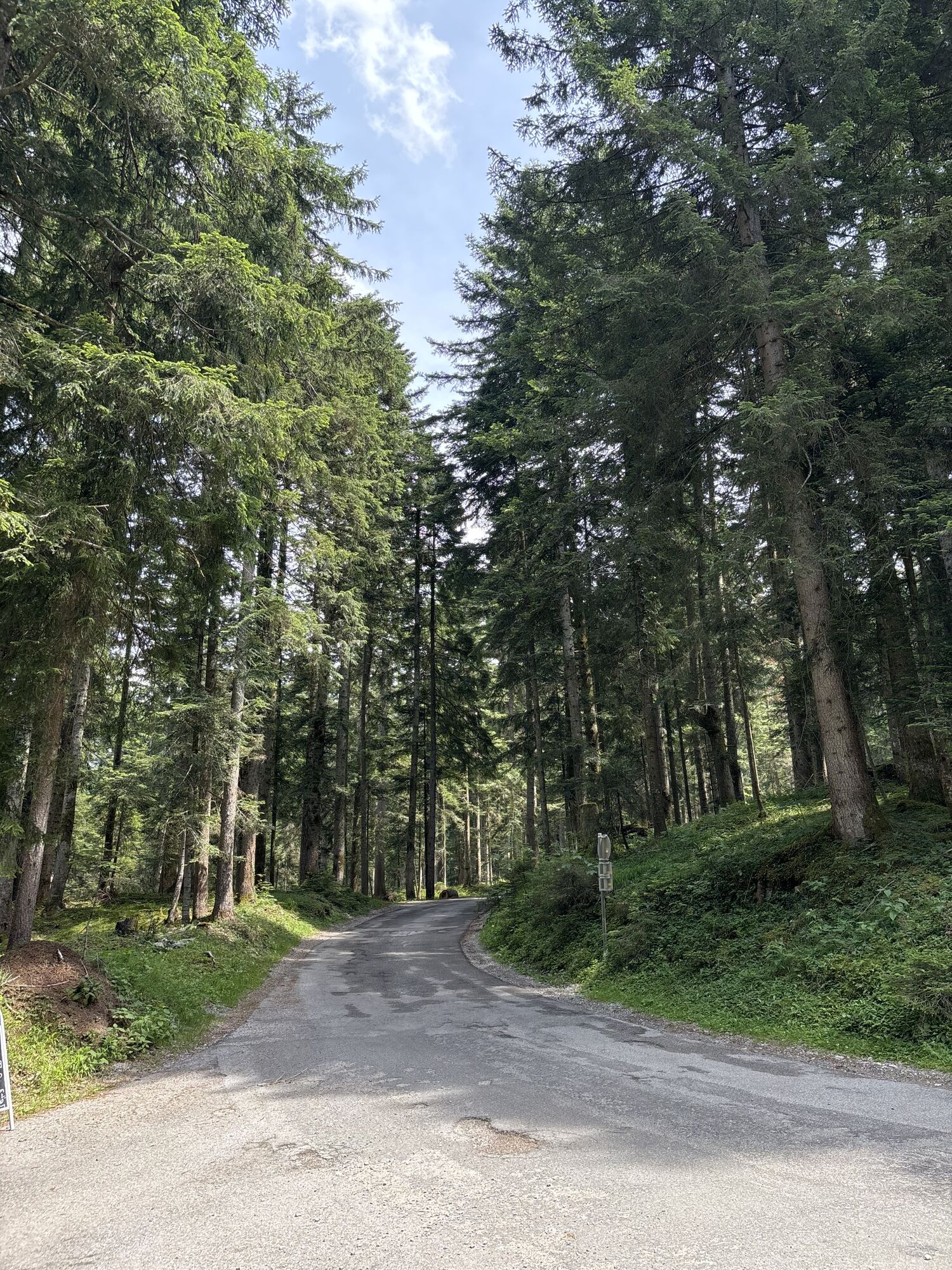
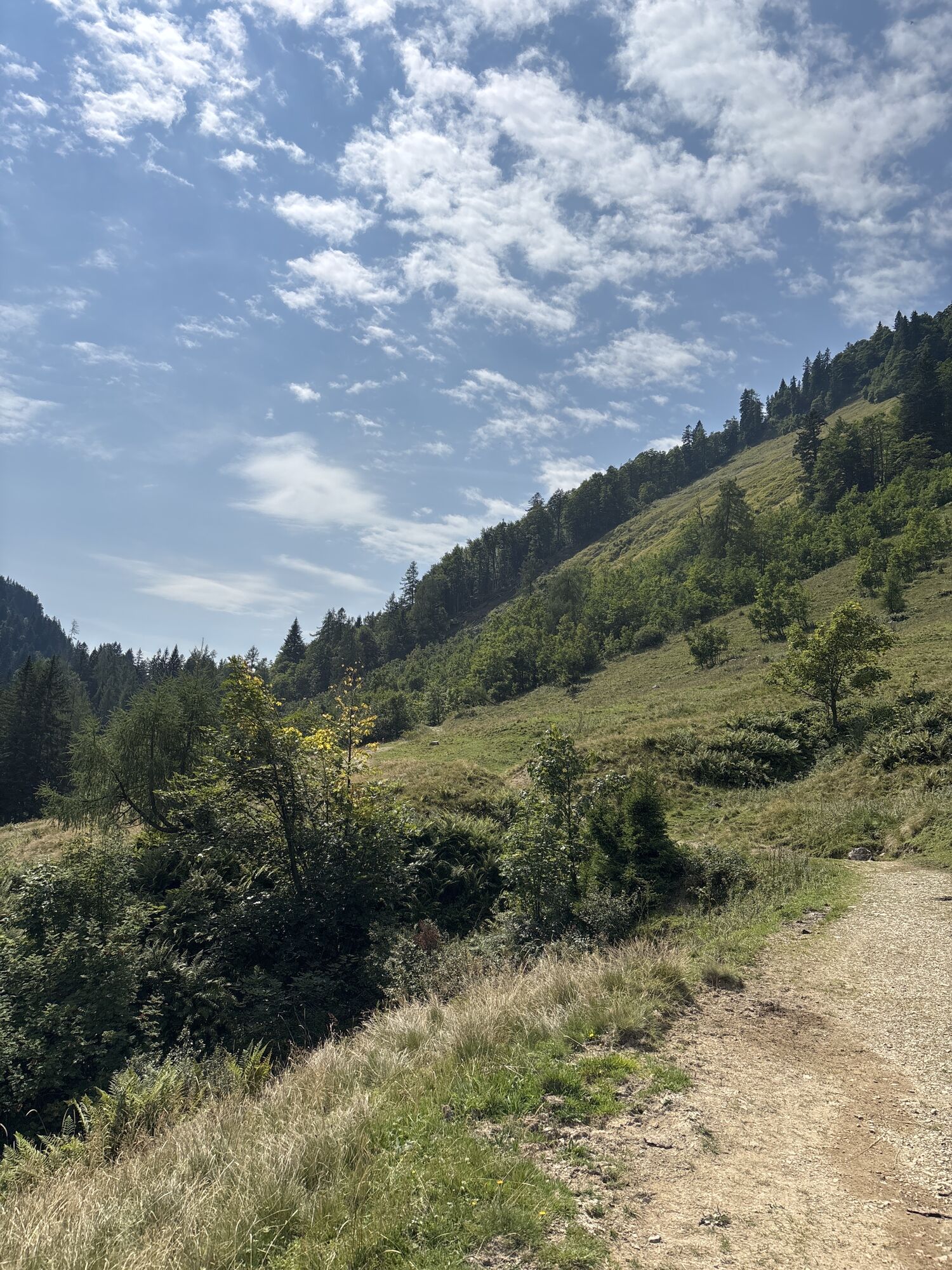
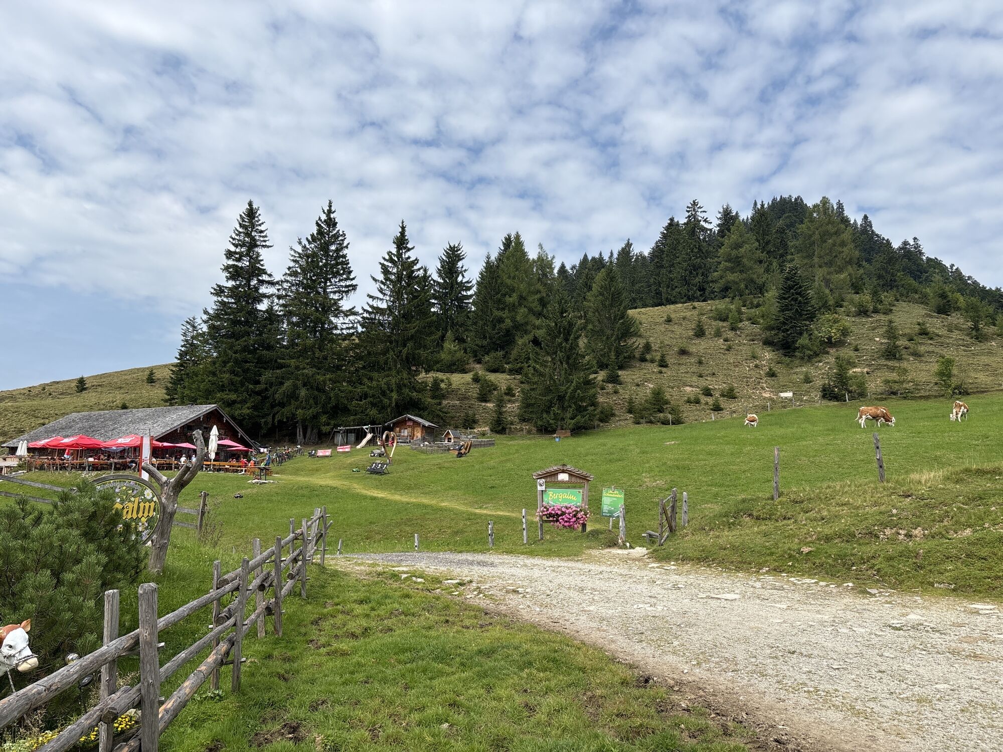
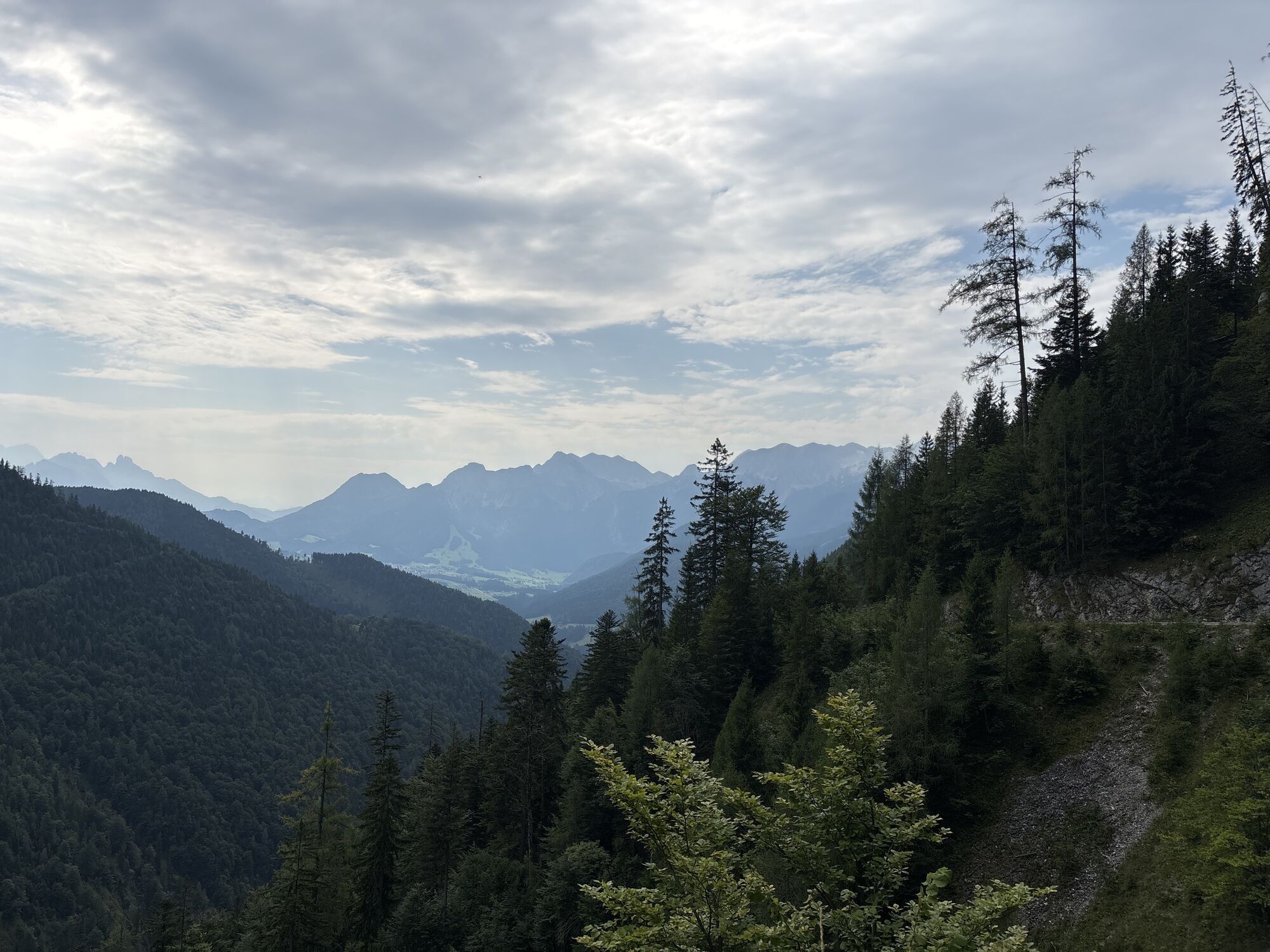
Continue now again on asphalt on a descent to the Seewald farmers. At kilometer 11.4, turn right towards Sommerau. Leave the turnoff to Trattberg on the right and ride the road down to the Vitalhotel Sommerau. At the intersection below the hotel, turn right towards Bergalm and follow the road through the Strubklamm. Later it becomes a bit steeper again; passing the Gasthaus Grundbichl, you now continue on gravel to the Bergalm. Here a break is recommended at the Bergalmhütte or the Neureithütte. The view of the Salzach valley and the Hoher Göll is fantastic.
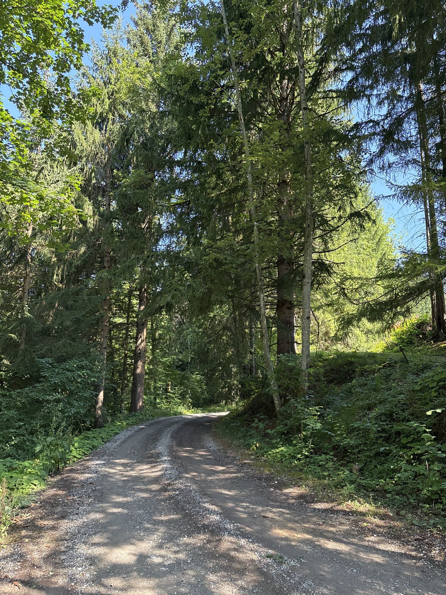
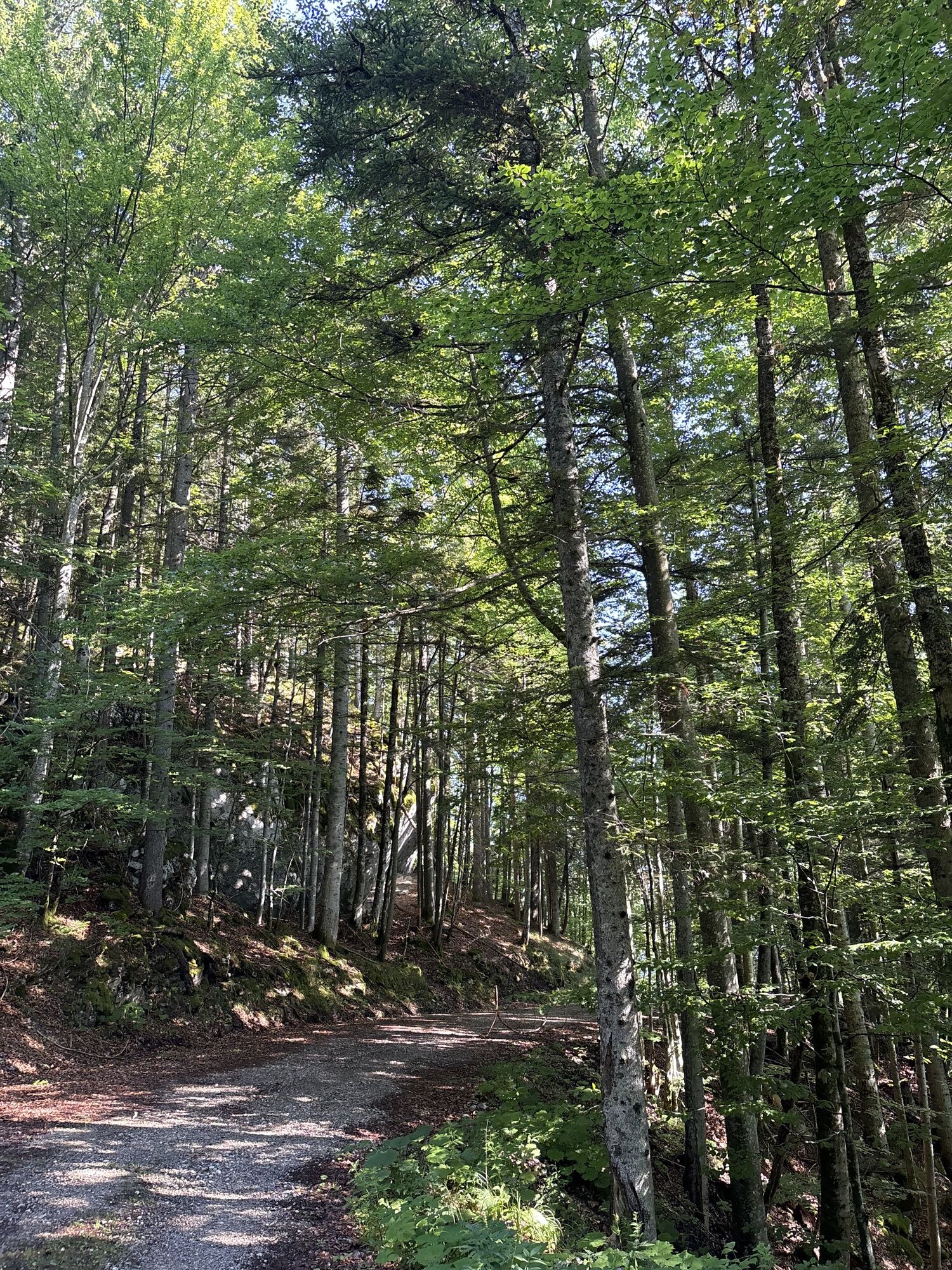
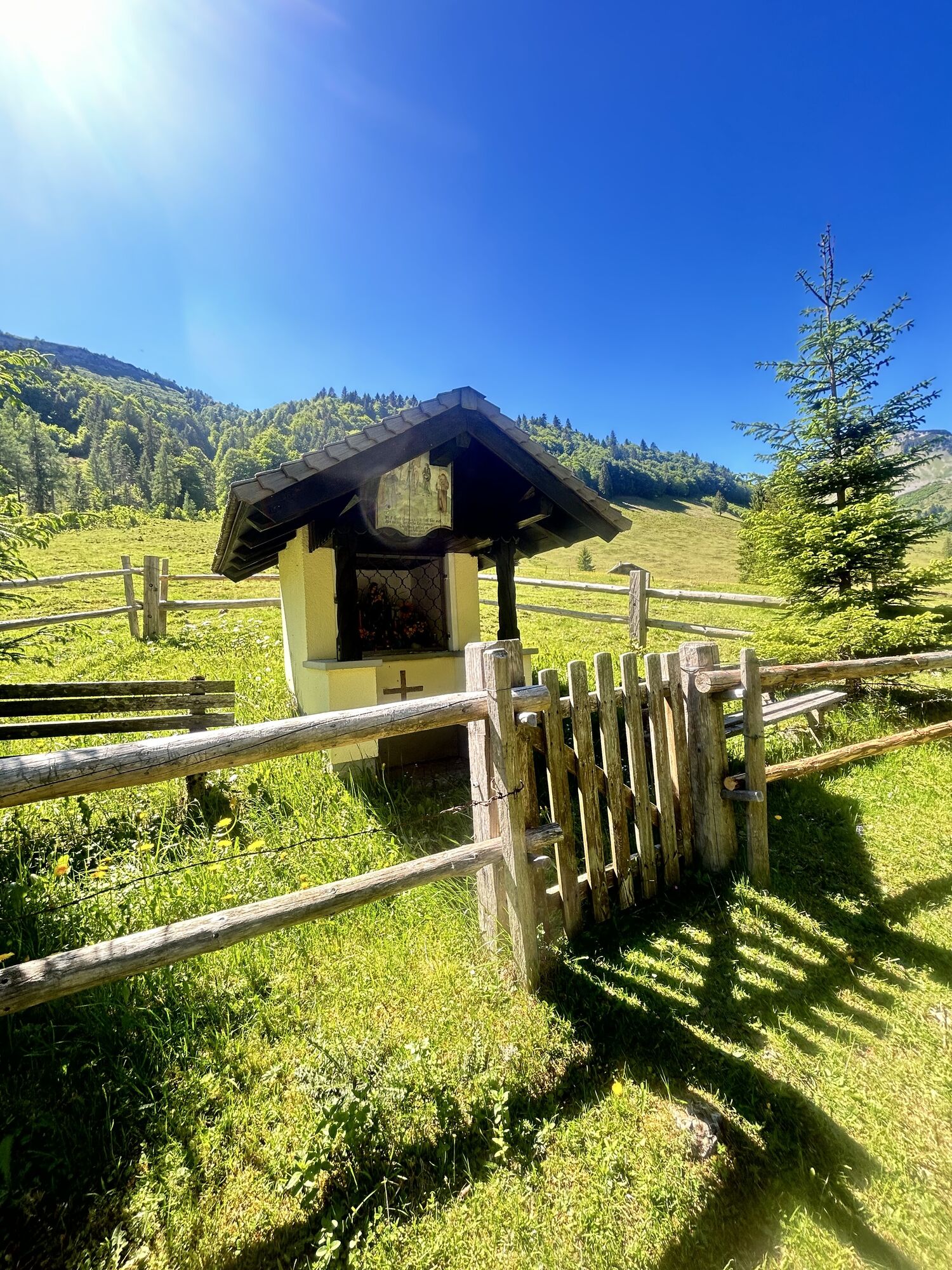
Behind the Bergalm, turn left at a wayside shrine and first follow the trail, later a forest road in several switchbacks down to Hintersee (kilometer 34.4). At the church in Hintersee, turn right and follow the road slightly uphill to Lämmerbach. From here starts a steeper climb, but the last of the tour, to Genneralm. At kilometer 41.8, you reach the highest point of the mountain bike round (1325 m), the Genneralm, between Gennerhorn and Holzeck. Continue on an alpine path, later over a forest trail and forest road into the Ackersbach valley. Along the brook, you ride through a narrow valley to the old Postalm road. At this intersection (kilometer 49.6), turn right downhill until you reach an old forester's house to the access road. From here back to the starting point of the route.
Tak
Use suitable mountain bike equipment and a protective helmet.
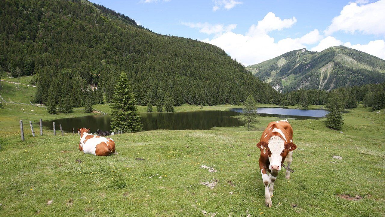
Beware of grazing cattle on the alpine pasture.
Observe the traffic regulations.
A short pushing section on the descent into the Ackersbach valley.
Motorway A 10, exit Golling, on federal road B 162 towards Abtenau to Voglau, park here on the right side at the Gasthof Voglauerhof.
From Abtenau about 5 kilometers to Voglau, park here on the left side at the Gasthof Voglauerhof.
Postbus from Abtenau or Golling. At the stop "Voglau Lammerbrücke".
Parking lot Gasthof Voglauerhof, commuter parking lot in immediate vicinity.
S1

Kamery internetowe z trasy


Popularne wycieczki w okolicy
-
4,7
Schwarzer Berg / Golling
średniWędrówka 2,54 km -
4,8
Fuschl: Ruine Wartenfels - Schober - Frauenkopf
średniWędrówka 7,62 km -
4,4
Fuschlseewanderung
światłoWędrówka 11 km -
4,2
Pillstein Panorama Rundweg
światłoWędrówka 3,40 km -
3,9
Bärenweg am Lidaun
światłoWędrówka 9,05 km -
4,7
Pleasure hike over the Falkenstein
średniWędrówka 9,81 km -
4,8
Great and Small Barmstein, the landmarks of Hallein
ciężkiWędrówka 6,58 km -
4,6
The Plombergstein: Adventure and summit panorama
światłoWędrówka 4,12 km -
4,5
Abtenau: Postalm circular route 3 - Wiesleralm and Postalm hut
średniWędrówka 9,09 km -
4,1
Illinger Alm-Runde
średniWędrówka 9,89 km
Wędrówki i tropienie


Nie przegap ofert i inspiracji na następne wakacje
Twój adres e-mail została dodana do listy mailingowej.





