



Moosalm Tour (SW08)

Poziom trudności: S1
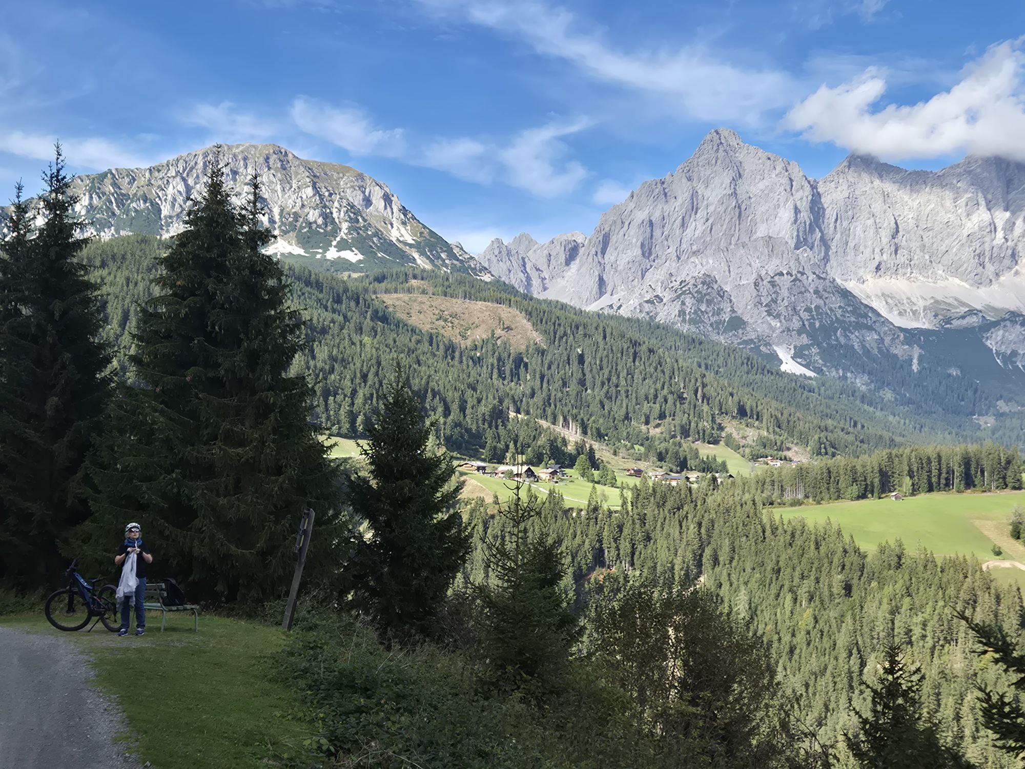
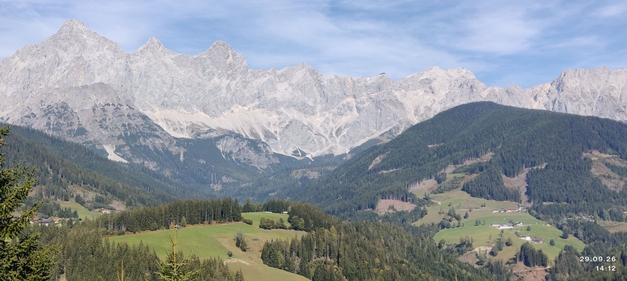


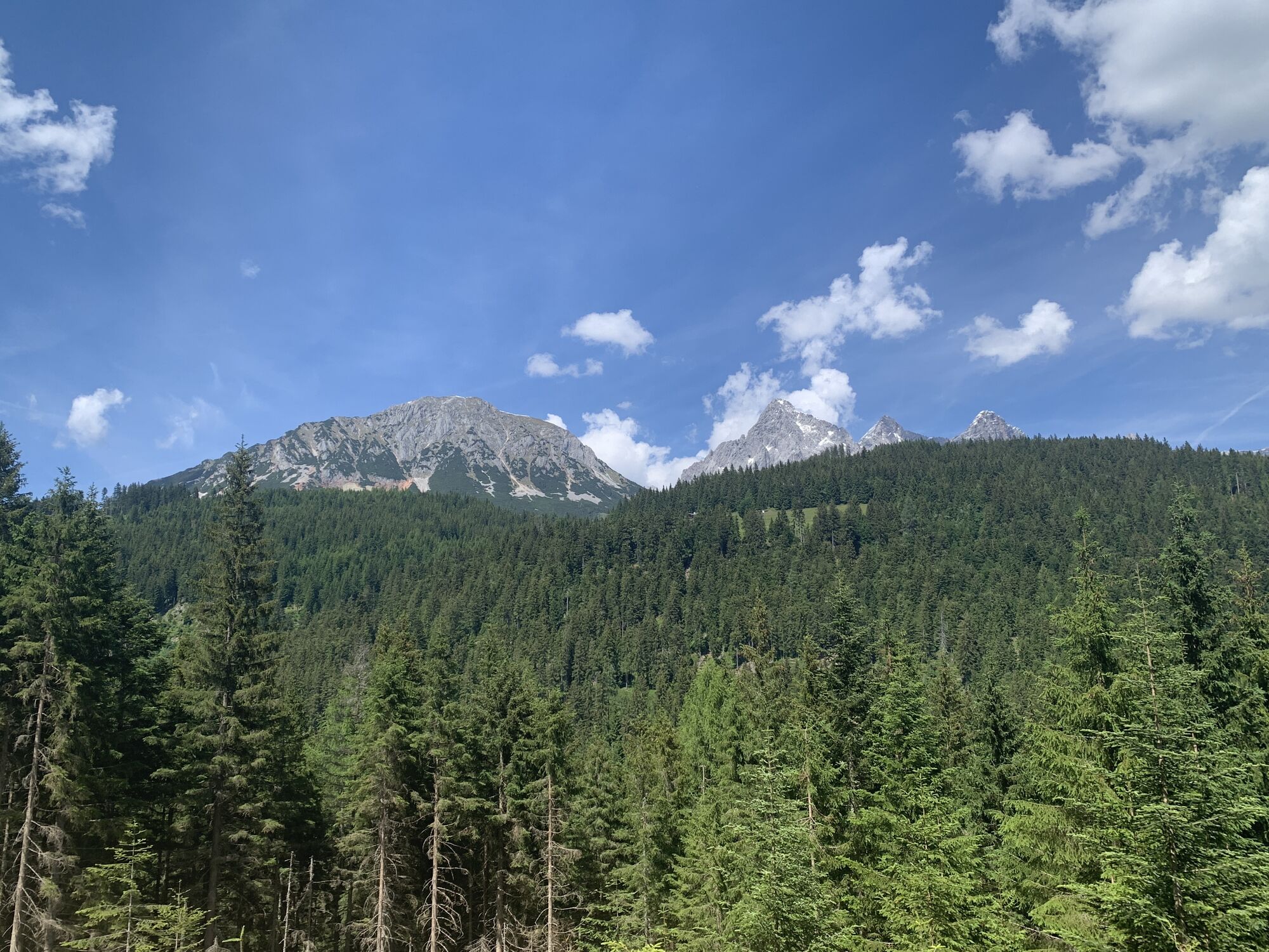


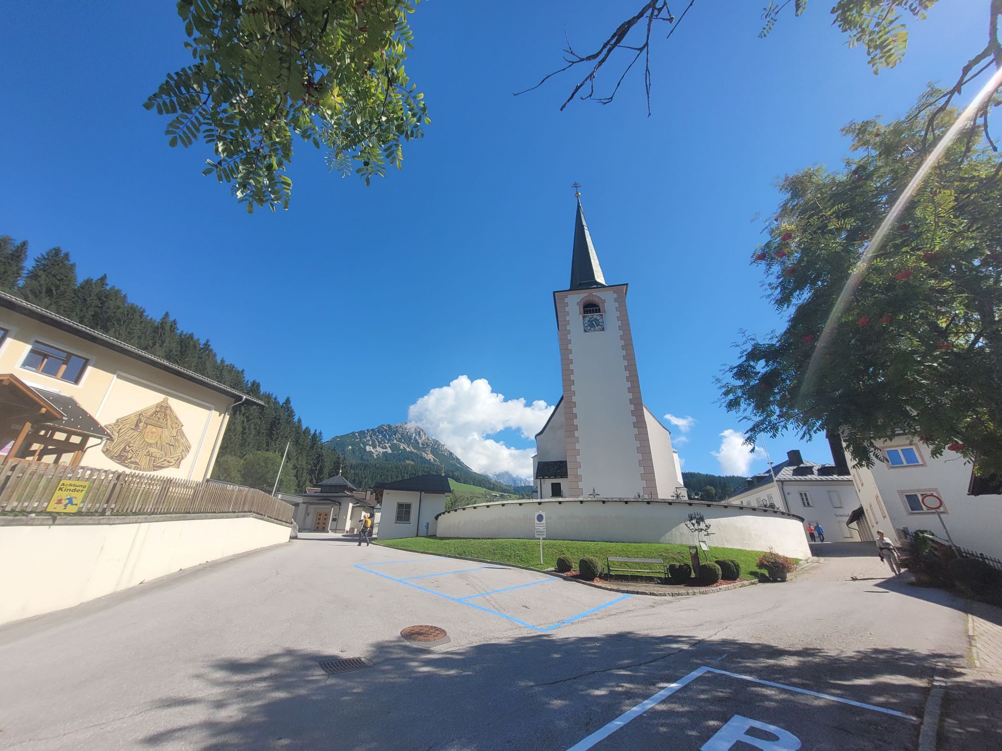
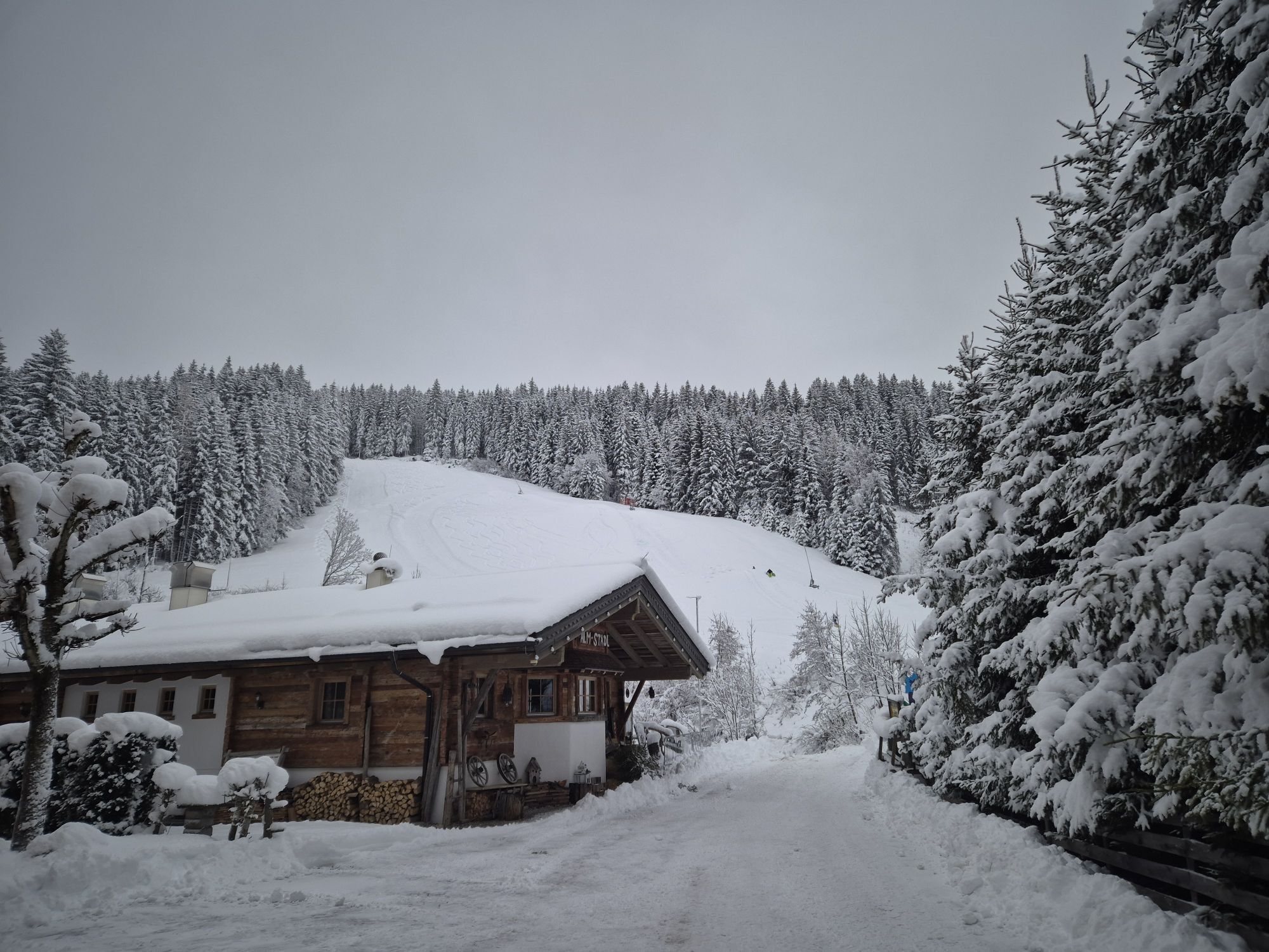
The SW08 Moosalm Loop is a varied mountain bike tour that leads across scenic moorland and alpine meadows, offering magnificent views of the surrounding peaks and valleys. Well-maintained trails wind through...
Combining nature, tranquility, and outdoor activity, this tour is perfect for experienced mountain bikers as well as leisure riders seeking an authentic alpine experience. Along the way, riders are rewarded with stunning panoramic vistas and countless photo opportunities. The route follows mostly well-marked paths, providing a memorable journey through the breathtaking Alpine landscape.



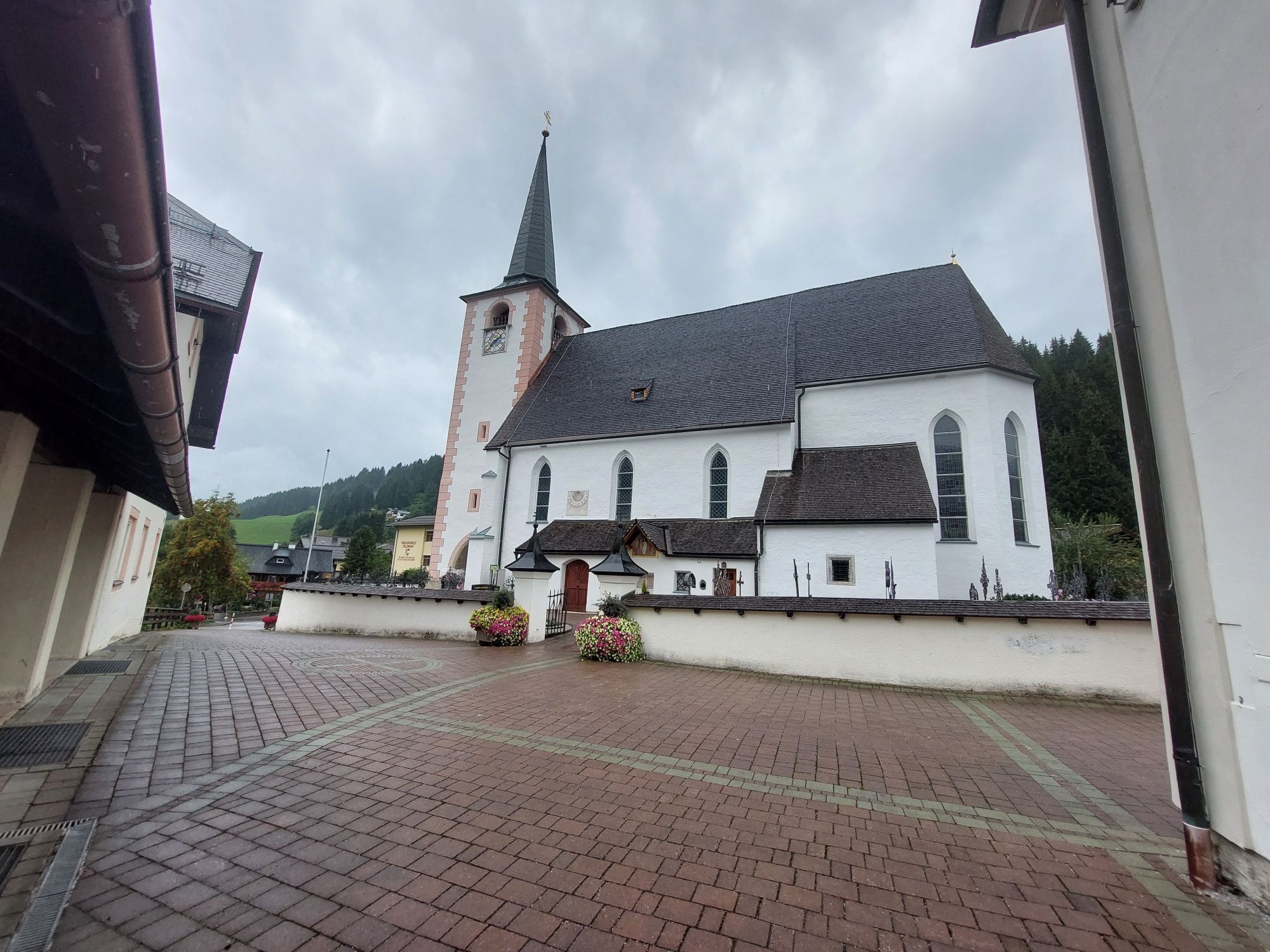
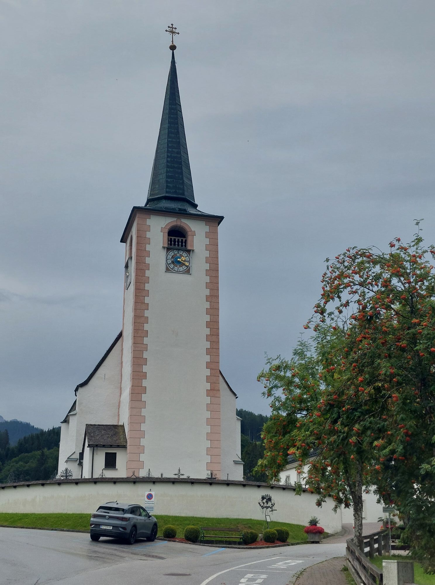
From there, we follow the signage of the SW08 loop on a varied forest road with short climbs and smooth, flowing sections. The route eventually brings us back downhill in a loop, where we can enjoy a faster descent on wider forest roads. In the lower section, the trail rejoins the familiar connection back towards Filzmoos, along which we comfortably roll back to the starting point.
Sun and rain protection, helmet, cycling map materials, sufficient drinks.
In case of emergency, please call: No. 140 - Mountain Rescue No. 112 - European Emergency Number
Coming from Ramsau am Dachstein: At the roundabout, take the exit towards Neuberg – shortly after the gas station, turn left. There is a public paid parking lot opposite the gas station.
Continue by bus or taxi: From Eben im Pongau or Radstadt, bus line 521 goes directly to Filzmoos, stop Neuberg/Reitsteg (travel time approx. 20–30 minutes).
Alternatively, taxis are available at the station. Tip: The buses do not run very frequently – check the timetable in advance and whether the bus also transports bicycles on ÖBB
With the Fidibus summer service: From Filzmoos (Filzmoos tourist information), there is the Fidibus Summer (hiking bus), which takes you from Filzmoos to Neuberg, stopping at Neuberg. Here you can find the timetable.
There is a public paid parking lot opposite the gas station.
S1
The Filzmoos Tourist Information Office provides a mountain biking map containing information about this tour.
Start early in the morning to enjoy the most beautiful views, pleasant temperatures, and the peaceful atmosphere of nature at its best.
Kamery internetowe z trasy

Popularne wycieczki w okolicy
-
4,5
Ramsau am Dachstein: Steinerne Jungfrauen
Wędrówka 8,11 km -
4,8
Ramsau am Dachstein: Bergstation Dachstein-Seilbahn - Guttenberghaus - Ramsau
średniWędrówka 14,4 km -
5,0
Strimskogel-Runde
Wędrówka 13 km -
4,4
Filzmoos: Rötelstein (Rettenstein)
Wędrówka 9,50 km -
4,8
Tour around the Gosaukamm
średniWędrówka 20,9 km -
4,8
Tor-Wanderung
ciężkiWędrówka 14,2 km -
4,7
WM-Pfad Planai
światłoWędrówka 6,84 km -
4,7
Tour around the Lake Gosau
światłoWędrówka 4,43 km -
4,8
Rossbrand über Bürgerbergalm (462)
Wędrówka 10,8 km -
4,6
Adamekhütte vom Vorderen Gosausee
średniWędrówka 23,2 km
Wędrówki i tropienie


Nie przegap ofert i inspiracji na następne wakacje
Twój adres e-mail została dodana do listy mailingowej.


