


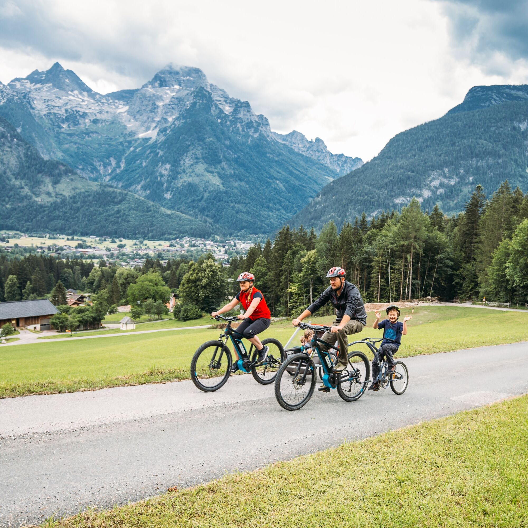
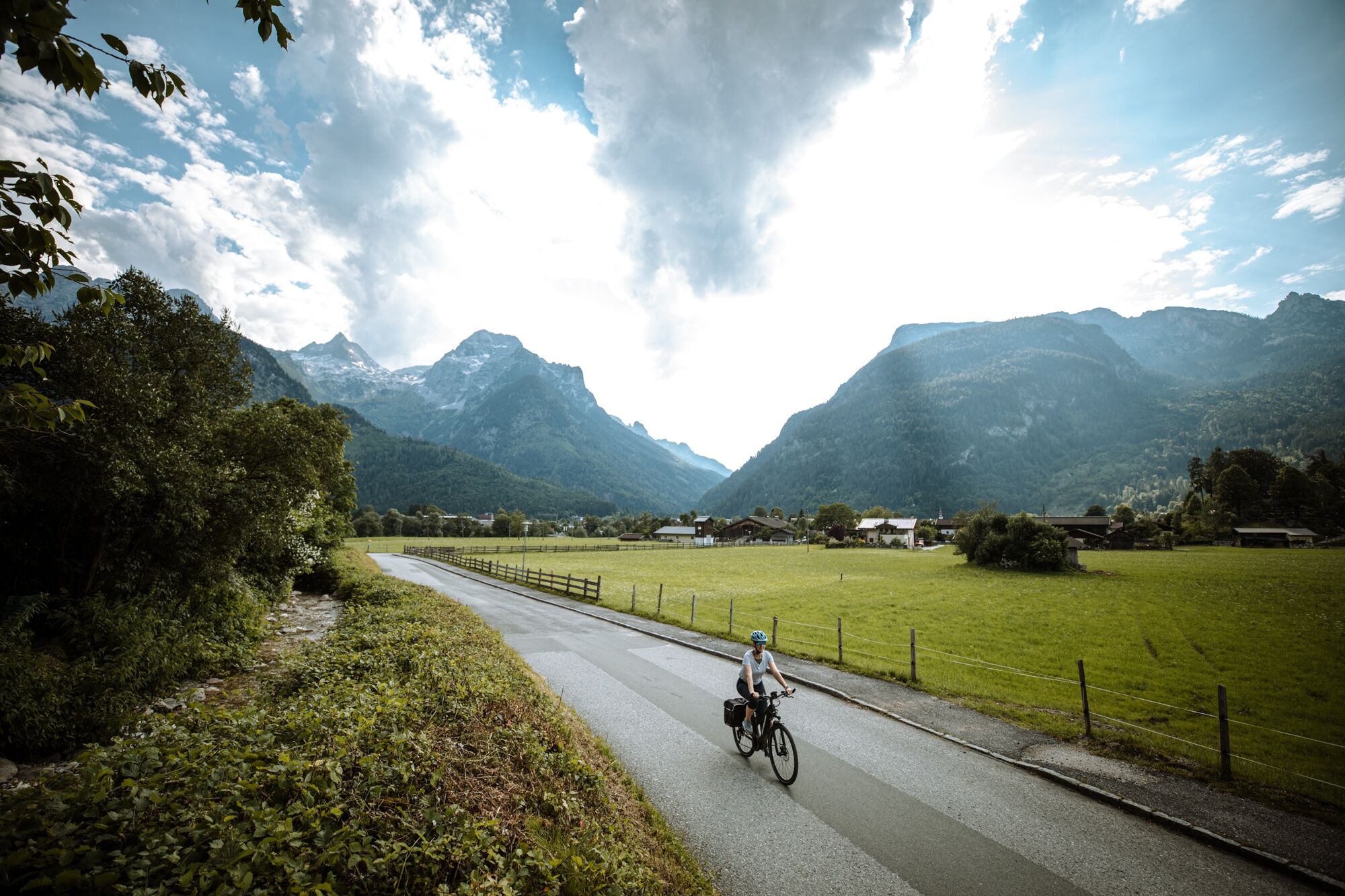
Front row foot-free – over alpine meadows to the Logenplatz Obermayrberg
Fitness: Strength for at least 120 minutes of pedaling over 18 km with 400 meters of elevation gain
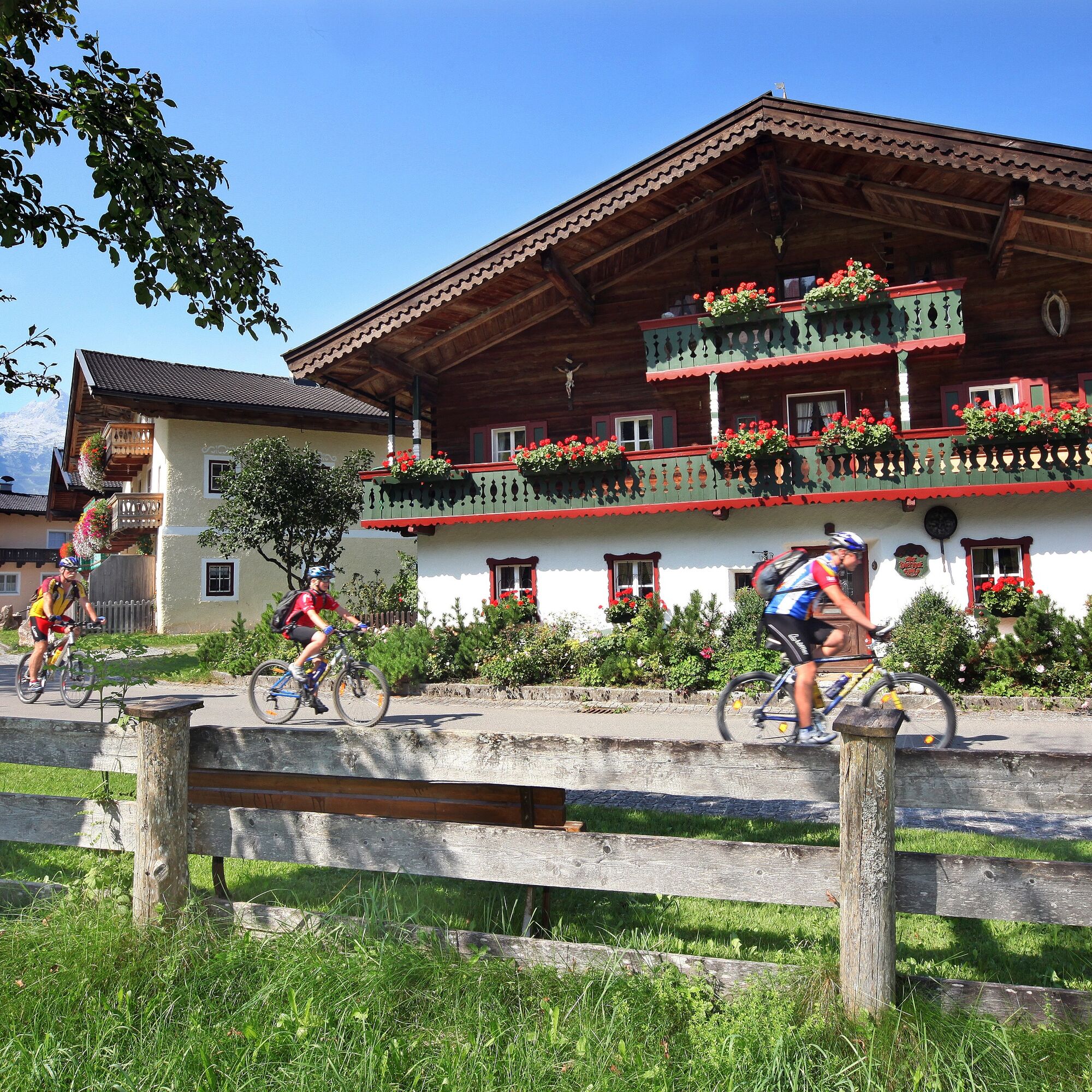
Short & Sweet: 2/3 of the route runs on asphalt paths and 1/3 on wide gravel paths. At the beginning...
Fitness: Strength for at least 120 minutes of pedaling over 18 km with 400 meters of elevation gain
Short & Sweet: 2/3 of the route runs on asphalt paths and 1/3 on wide gravel paths. At the beginning of the route, a 5 km climb with 350 meters of elevation awaits. Suitable for beginners. You will find refreshment options in the valley.
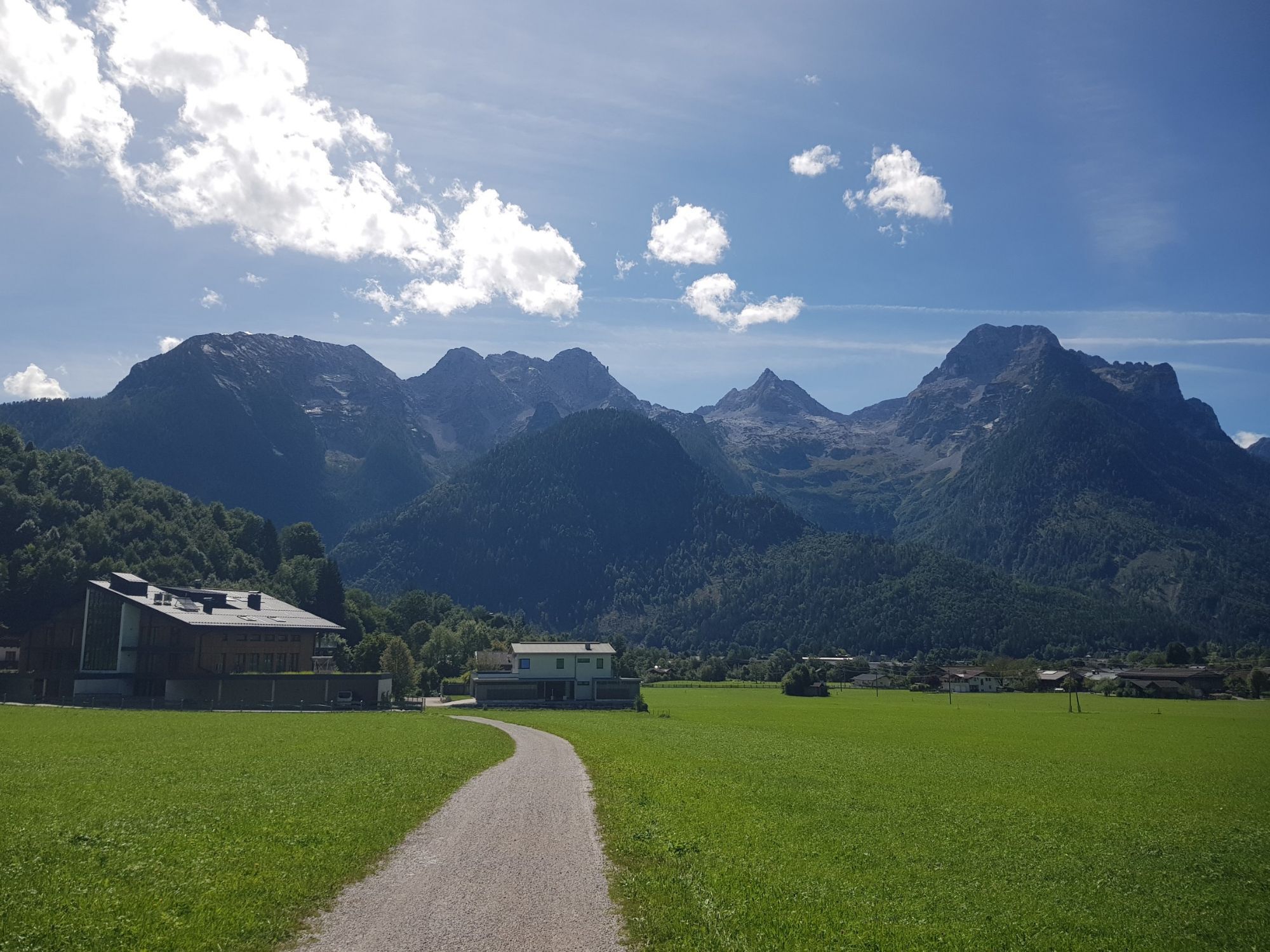
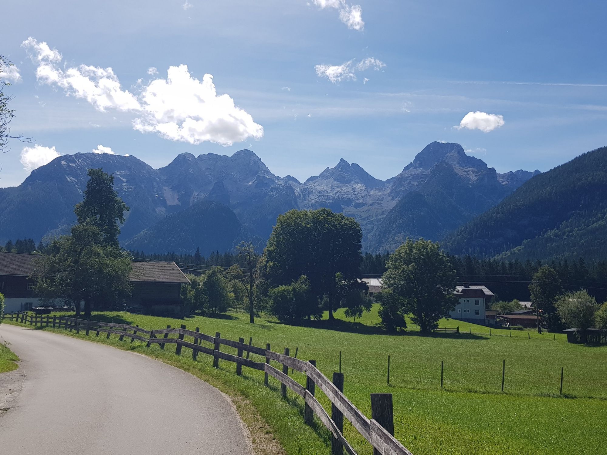
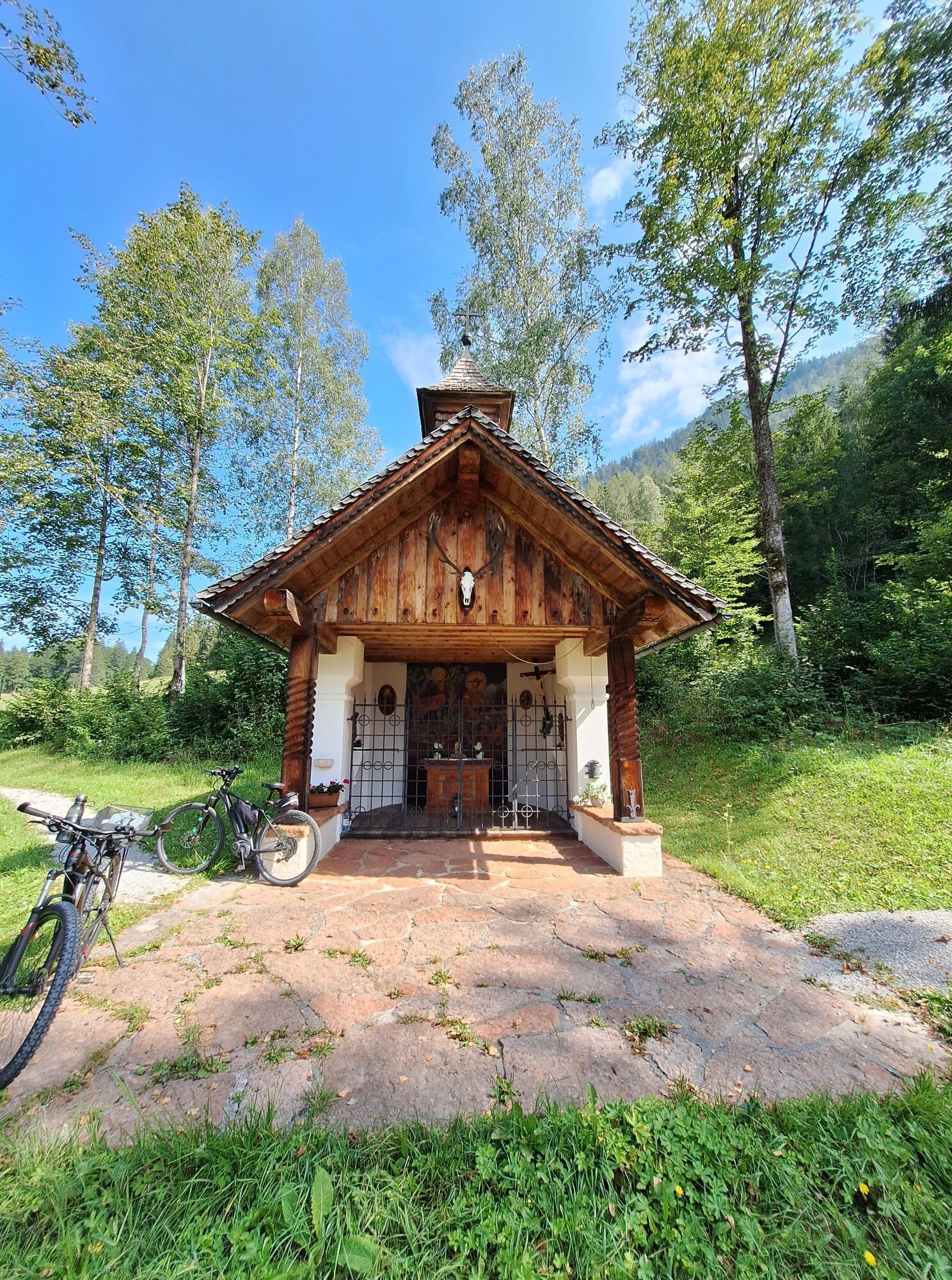
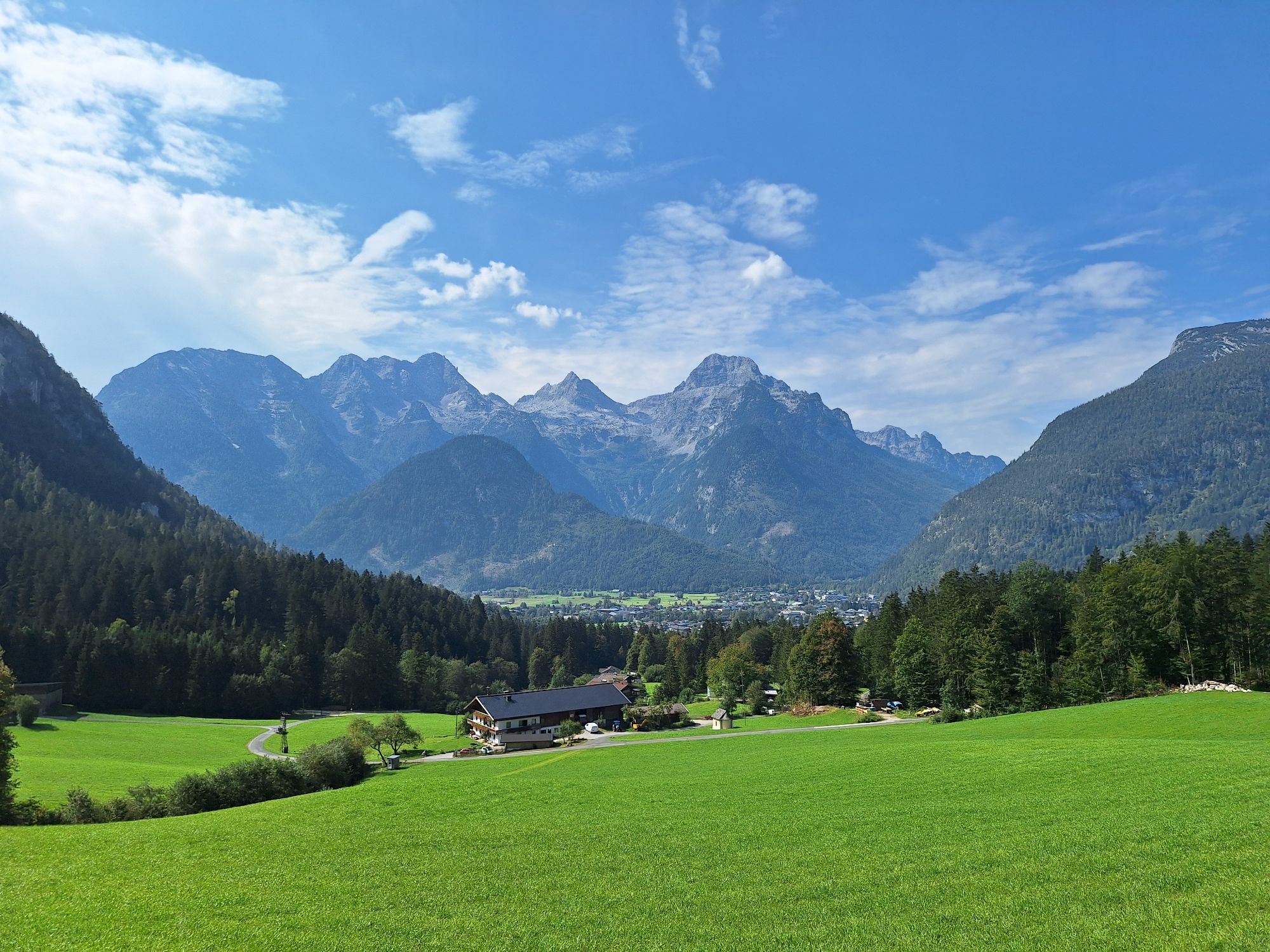
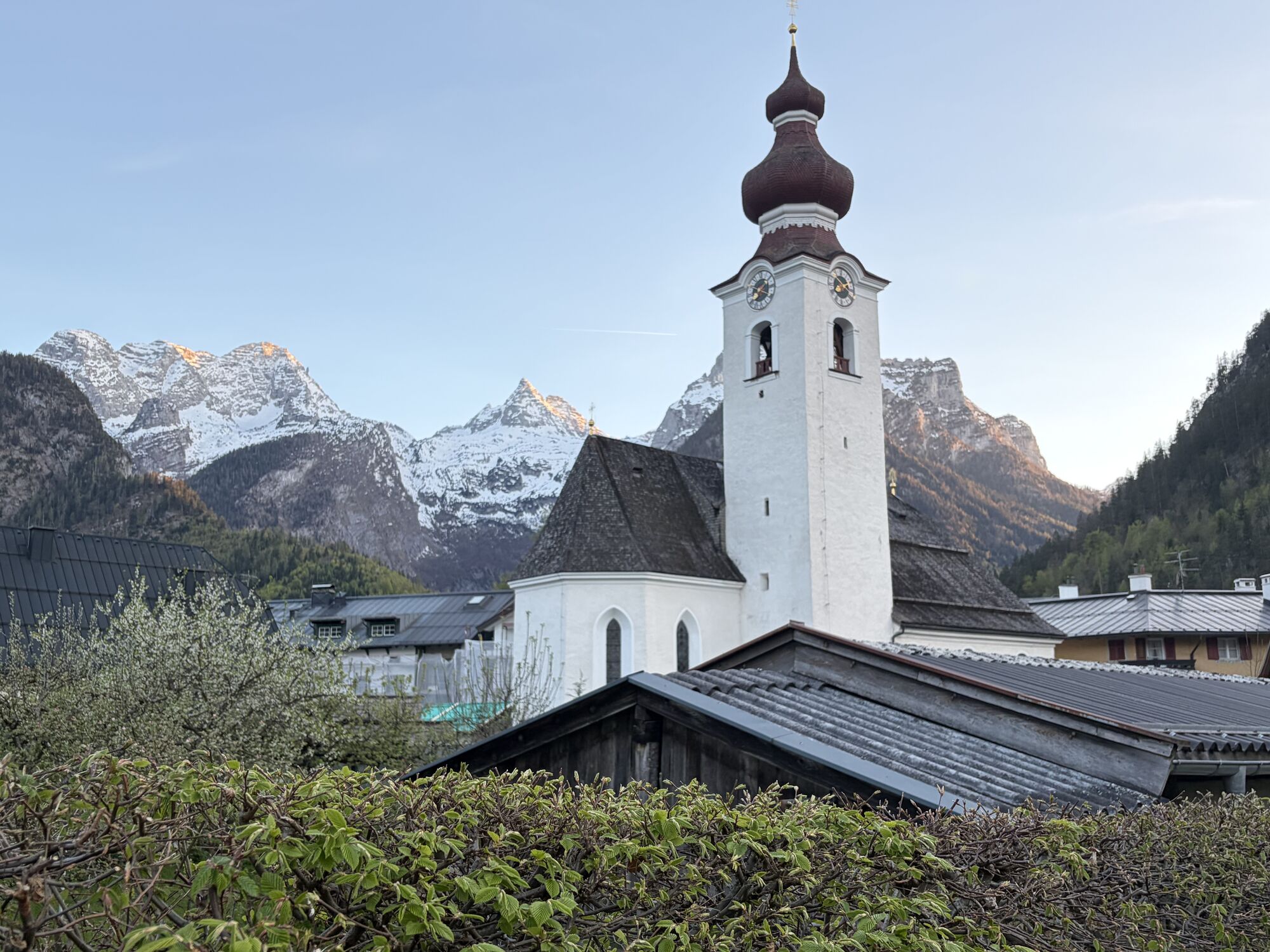
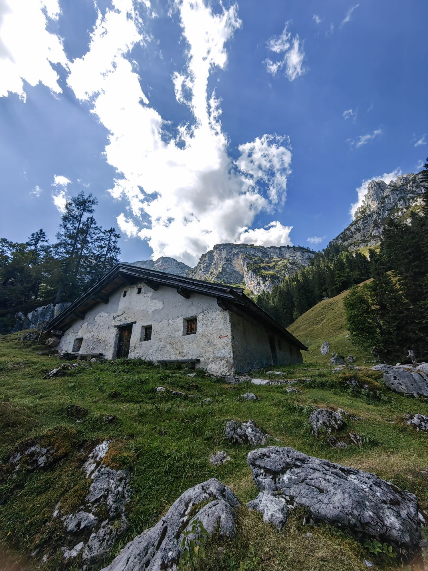
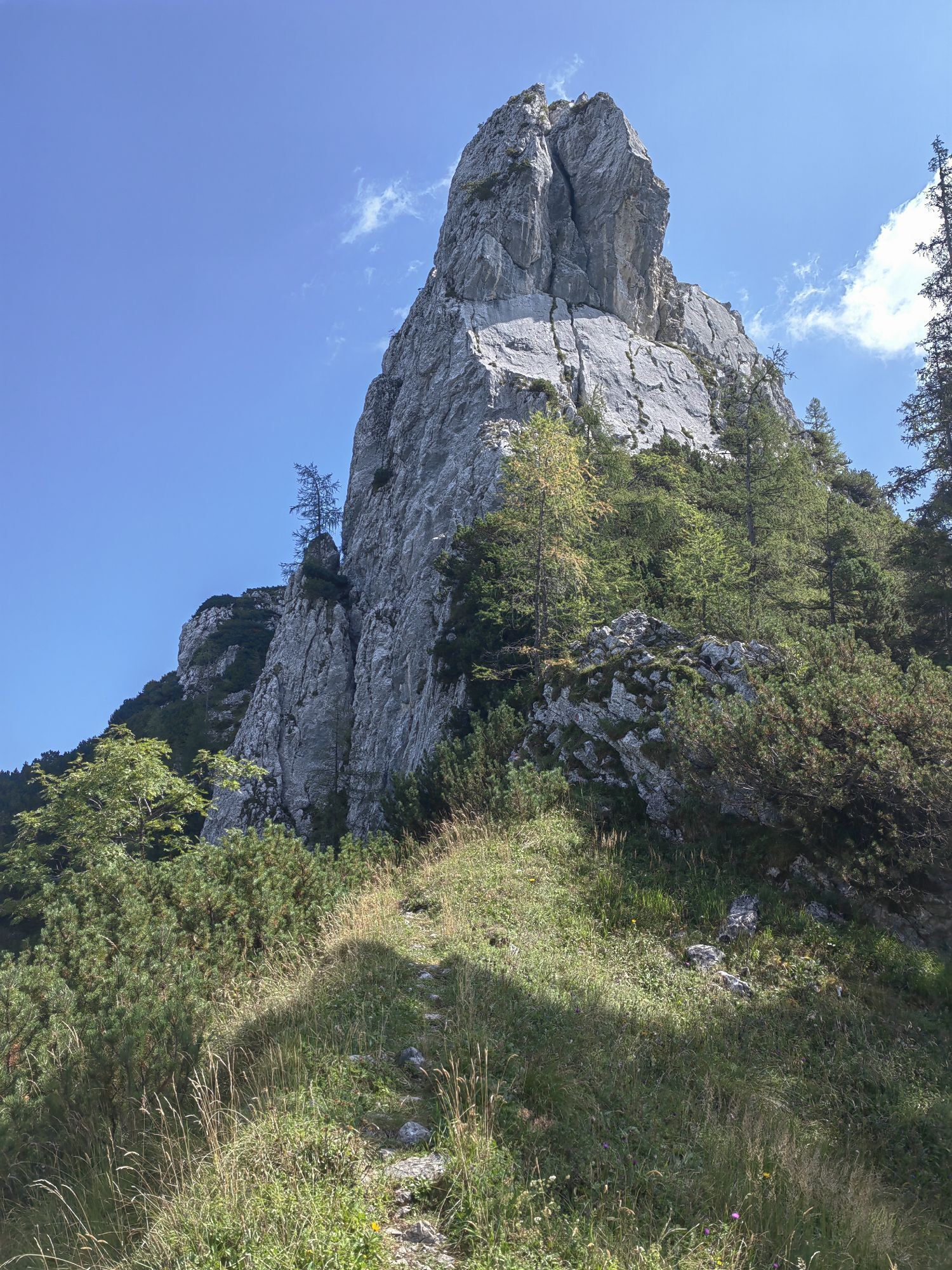
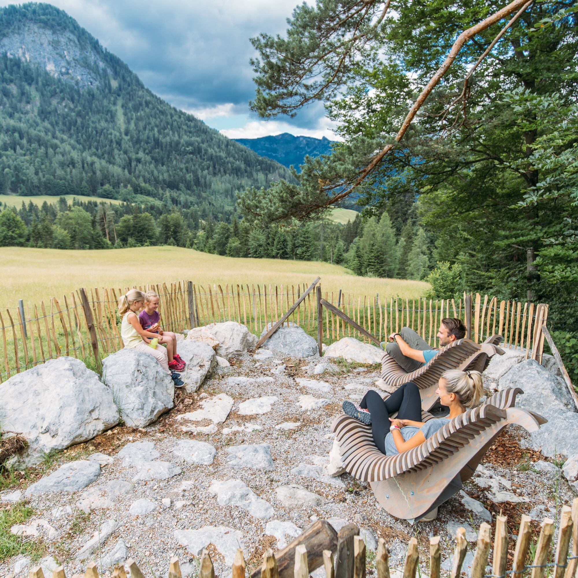
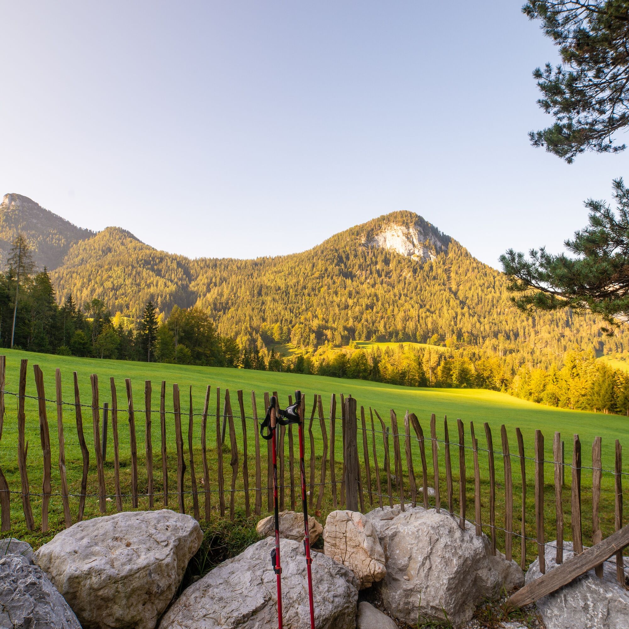
Route Highlights: Breathtaking view of the Loferer Steinberge in Scheffsnoth, rest at the Logenplatz Obermayrberg, another rest at the Auer Kirchlein in Au.
The route is part of the “Biking with Kids” in the Salzburger Saalachtal. Duration and difficulty are designed for children/families.
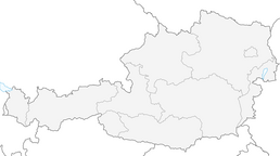
Route SASA 09 in the Salzburger Saalachtal bike map.

Lofer - Scheffsnoth - Auer Wiesen - Schoberweißbachklause - Obermayrberg - Auer Kirchlein - Au - Wahpointweg - Scheffsnoth - Lofer.
Tak
Tak
In addition to a water bottle, we recommend sturdy footwear, warm clothing and rain protection, repair kit, first aid kit, mobile phone, light, gloves, sunglasses, and some food. And of course, don’t forget the helmet.
Coming from Salzburg: Follow B178 and turn right before the bypass tunnel to Lofer. After about 1.5 kilometers the start of the route is directly at the tourist office next to the federal road. Coming from St. Johann/T. and Saalfelden: At the Lofer roundabout take the Salzburg exit. After about 400 meters the start of the route is directly at the tourist office next to the federal road.
Free parking at the large parking lot Lofer (P2)
Take your time and enjoy the view at the Logenplatz.
Popularne wycieczki w okolicy
- 4,4
Wimbachgrieshütte
Wędrówka 8,30 km - 4,3
Halsalm
Wędrówka 6,43 km - 5,0
Watzmann Überschreitung an einem Tag
ciężkiWędrówka 23,9 km - 4,9
Ramsau/Hintersee-Runde
światłoWędrówka 9,44 km - 3,9
Soleleitungsweg
Wędrówka 10,5 km - 4,8
Loferer Steinberge, zum Hinterhorn über die Schmid-Zabierow Hütte, 19.06.22
ciężkiWędrówka 14,0 km - 4,1
Passauer Hütte
ciężkiWędrówka 4,14 km - 4,5
Rundweg vom Hintersee zur Halsalm
średniWędrówka 9,53 km - 4,8
Atemberaubende Aussicht auf dem Dürrnbachhorn
średniWędrówka 8,44 km - 4,7
Over the waterfall trail into the Almenwelt Lofer
średniWędrówka 3,29 km

Wędrówki i tropienie


Nie przegap ofert i inspiracji na następne wakacje
Twój adres e-mail została dodana do listy mailingowej.