



LE 09 | Gunzi Trail

Poziom trudności: S1
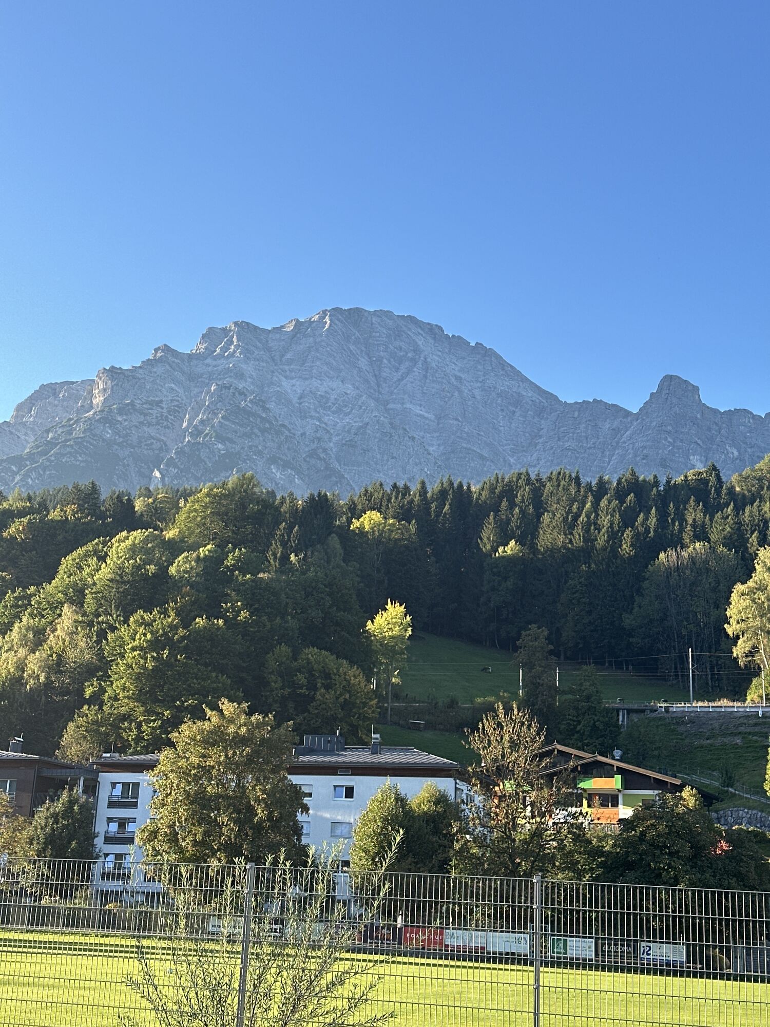
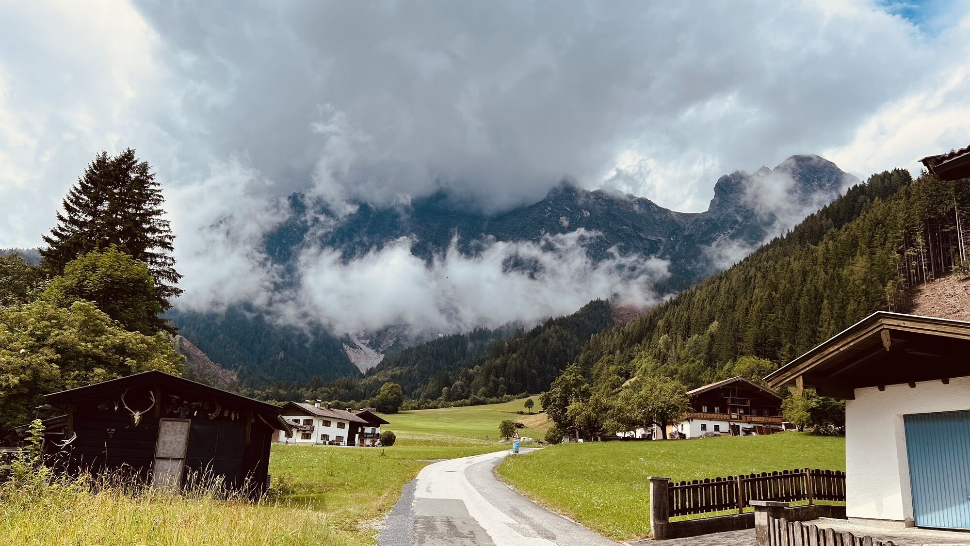
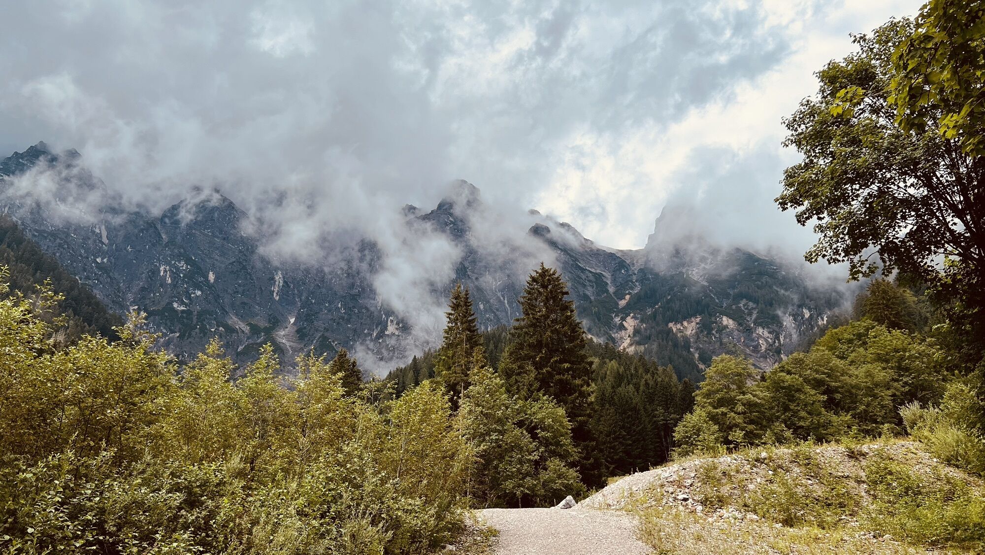
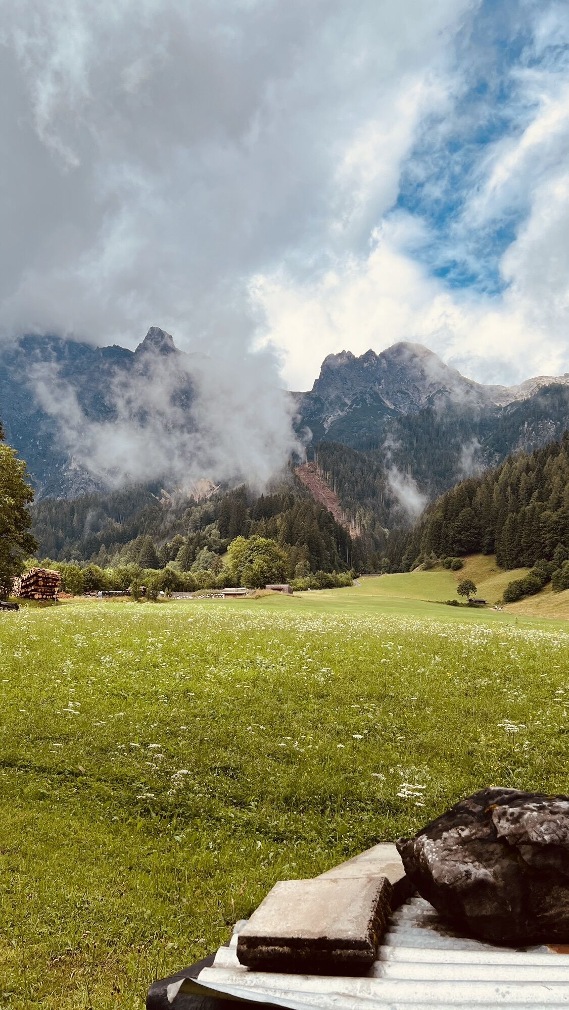

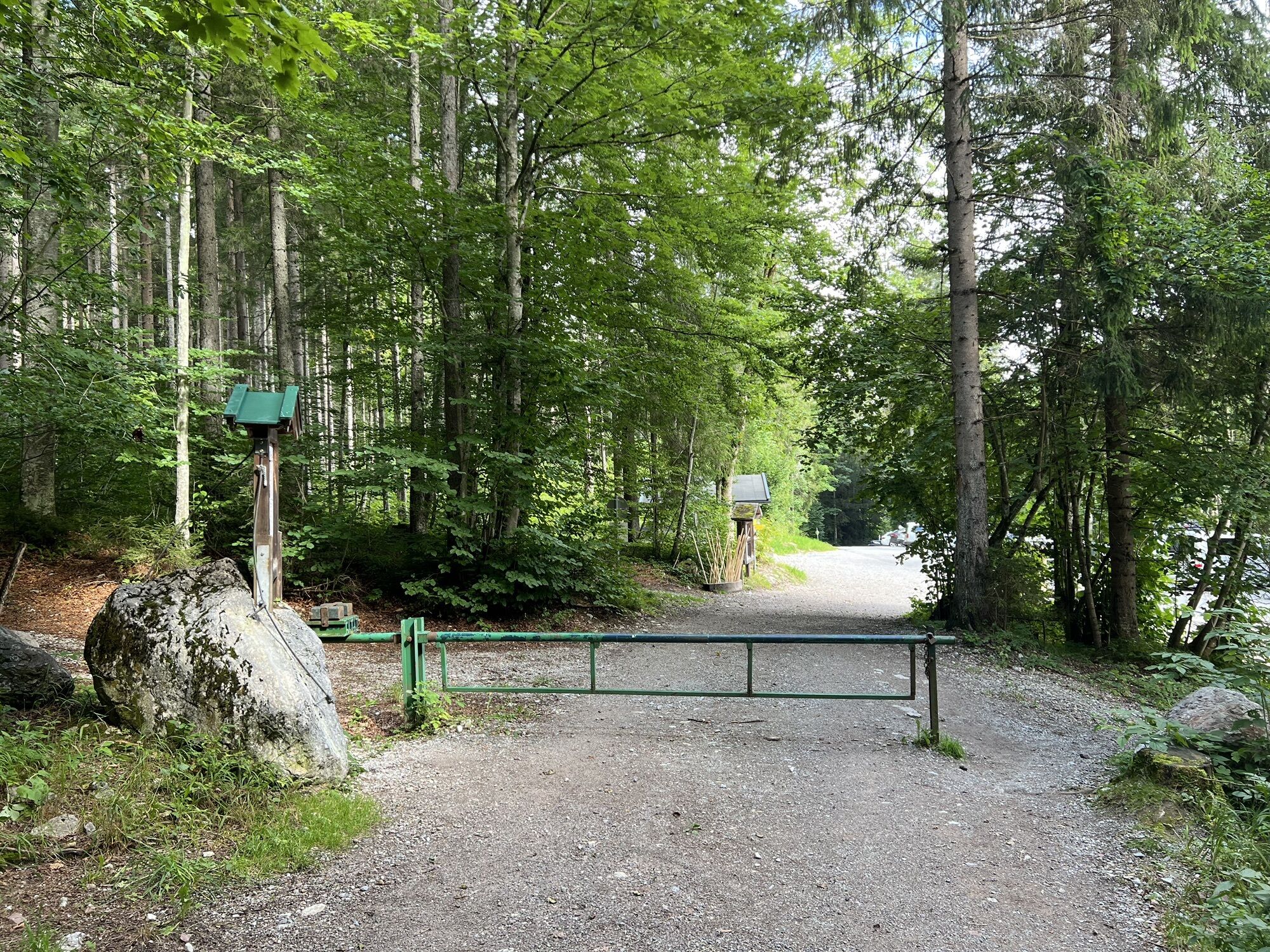
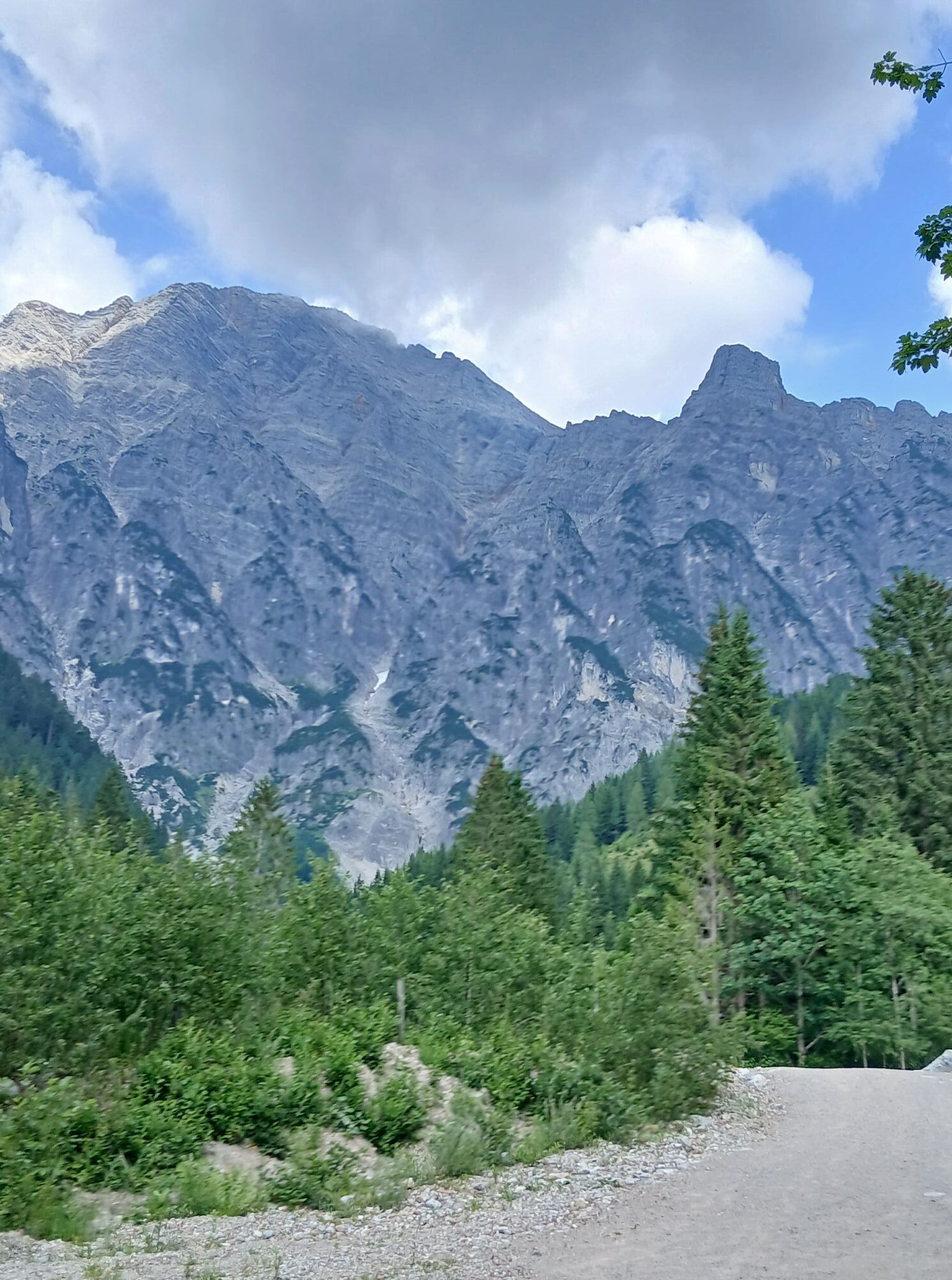

The route starts at the leisure center in Leogang and you cycle along the bike path next to the Leoganger Arche to the junction at the station. From here it goes uphill to the bathhouse. Take the steep...
The route starts at the leisure center in Leogang and you cycle along the bike path next to the Leoganger Arche to the junction at the station. From here it goes uphill to the bathhouse. Take the steep right turn onto a forest road and then continue slightly uphill. After a short downhill section, another steep turn appears on the left. Simply follow the path here, passing a small moor on the right and entering the Gunzi Trail. Through the Ullach valley, it then goes back to the village of Leogang.

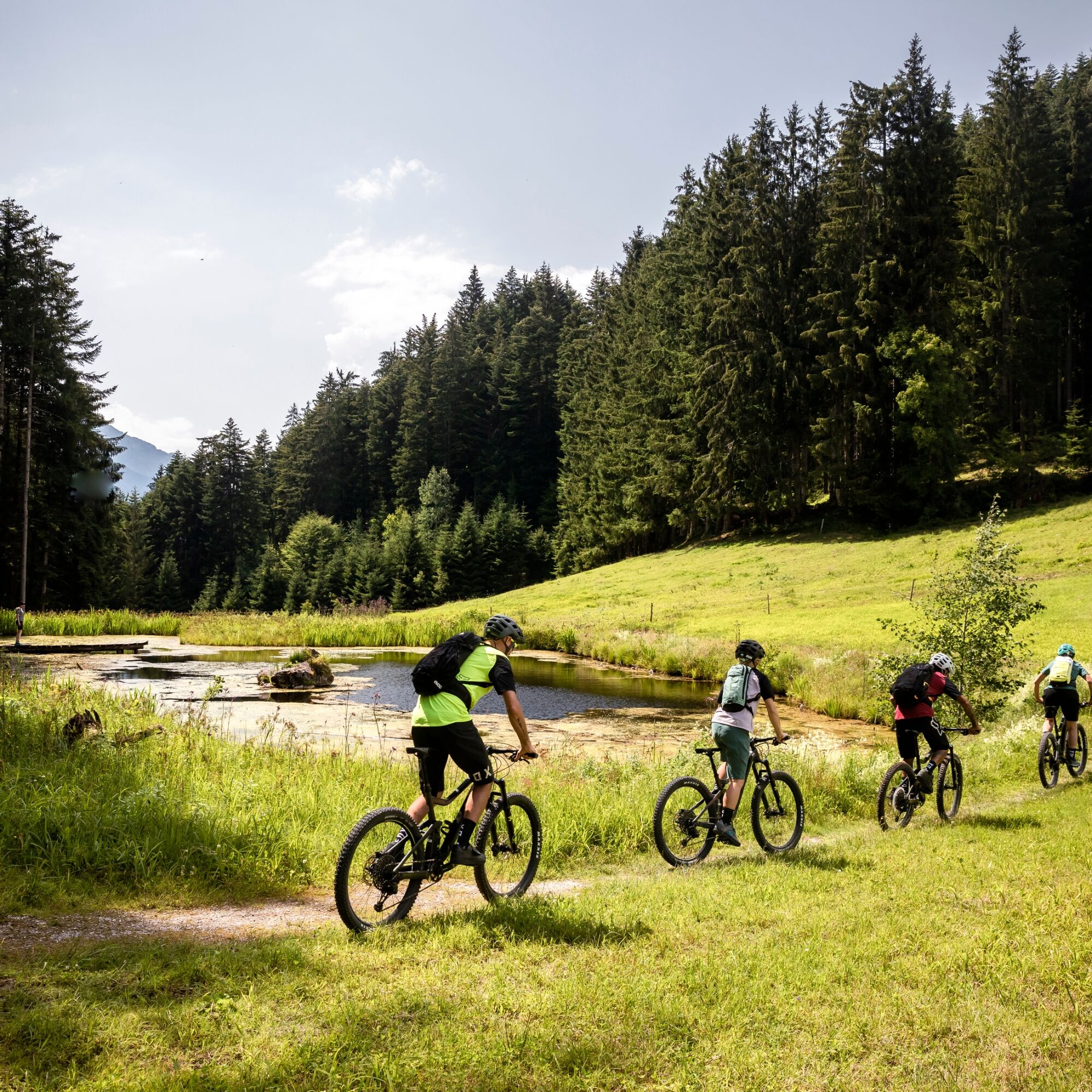
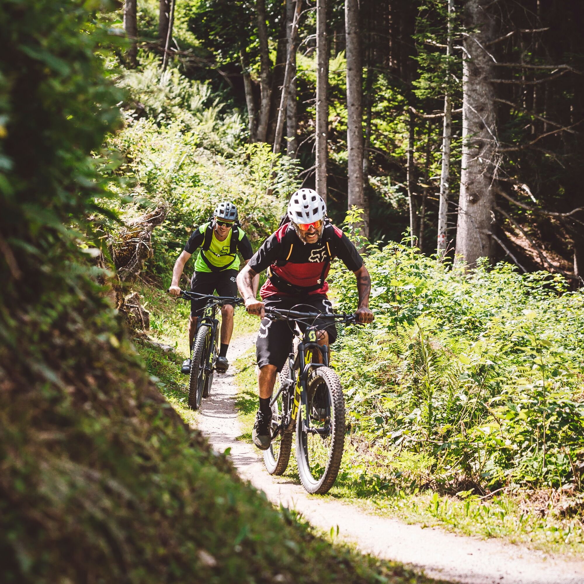
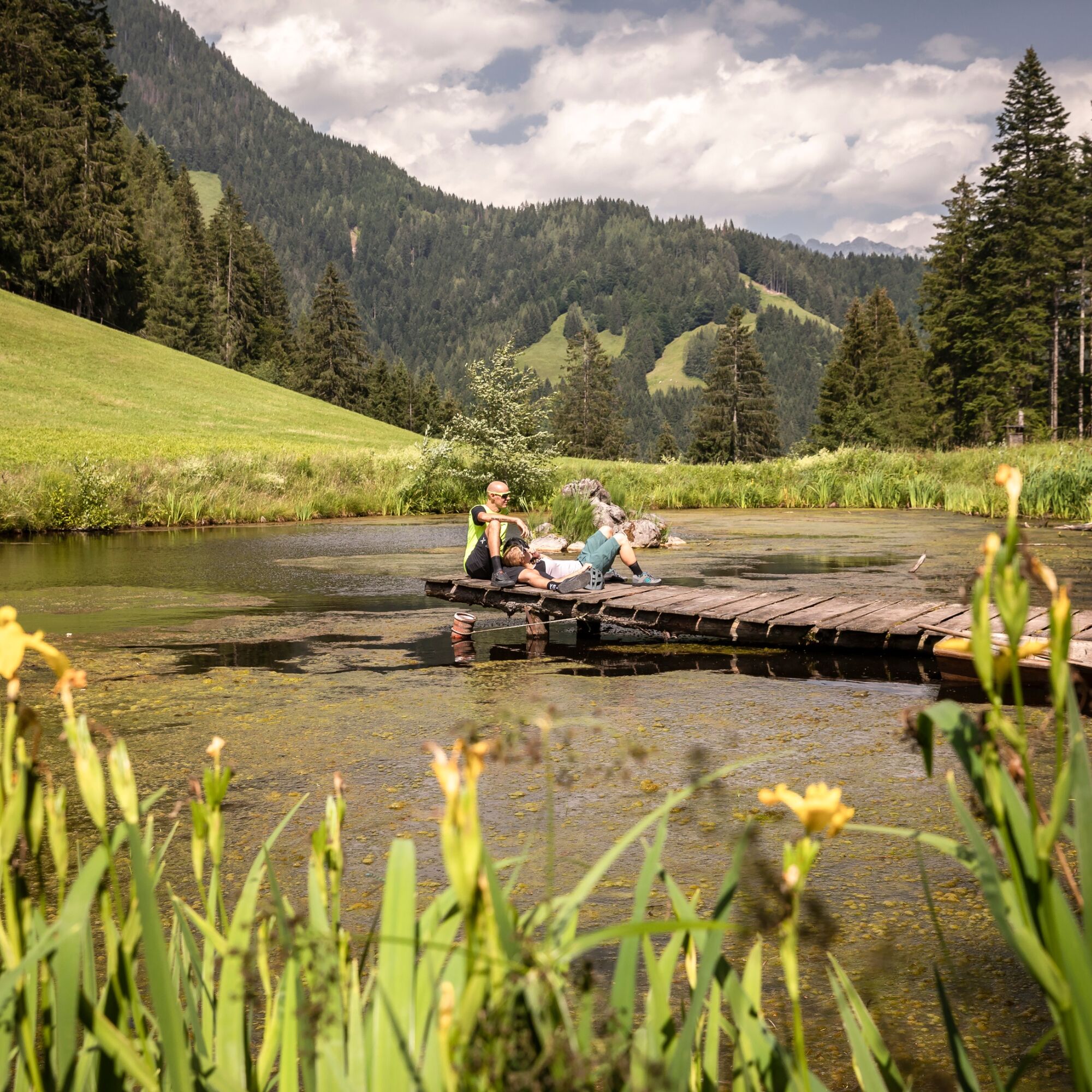

The route starts at the leisure center in Leogang and you cycle along the bike path next to the Leoganger Arche to the junction at the station. From here it goes uphill to the bathhouse. Take the steep right turn onto a forest road and then continue slightly uphill. After a short downhill section, another steep turn appears on the left. Simply follow the path here, passing a small moor on the right and entering the Gunzi Trail. Through the Ullach valley, it then goes back to the village of Leogang.
BY TRAIN
You can start enjoying your holiday from the beginning by taking the train. No traffic jam stops you from getting to Saalfelden Leogang! The ÖBB timetable also helps you quickly and easily find the ideal train connection to the "Leogang Steinberge" station: www.oebb.at (travel time to the starting point about 2 minutes)
S1
Definitely take a short drink break at the idyllic moor!


Popularne wycieczki w okolicy
-
4,4
Maria Alm - Riemannhaus
Wędrówka 3,99 km -
4,6
Seisenberg Gorge
światłoWędrówka 2,41 km -
4,4
Schwalbenwand Nr. 80, 81, 82
średniWędrówka 13,0 km -
4,6
Peter-Wiechenthaler Hut
średniWędrówka 8,63 km -
4,6
Steinalm
światłoWędrówka 5,43 km -
4,3
Maurerkogel (Top)
Wędrówka 10,5 km -
4,8
Breithorn
średniWędrówka 10,0 km -
4,8
Loferer Steinberge, zum Hinterhorn über die Schmid-Zabierow Hütte, 19.06.22
ciężkiWędrówka 14,0 km -
4,3
Persailhorn South via ferrata
średniVia ferrata 6,83 km -
4,6
Lettlkaser
średniWędrówka 8,80 km
Wędrówki i tropienie


Nie przegap ofert i inspiracji na następne wakacje
Twój adres e-mail została dodana do listy mailingowej.


