







Weather Cross Trail Tour
Poziom trudności: S4
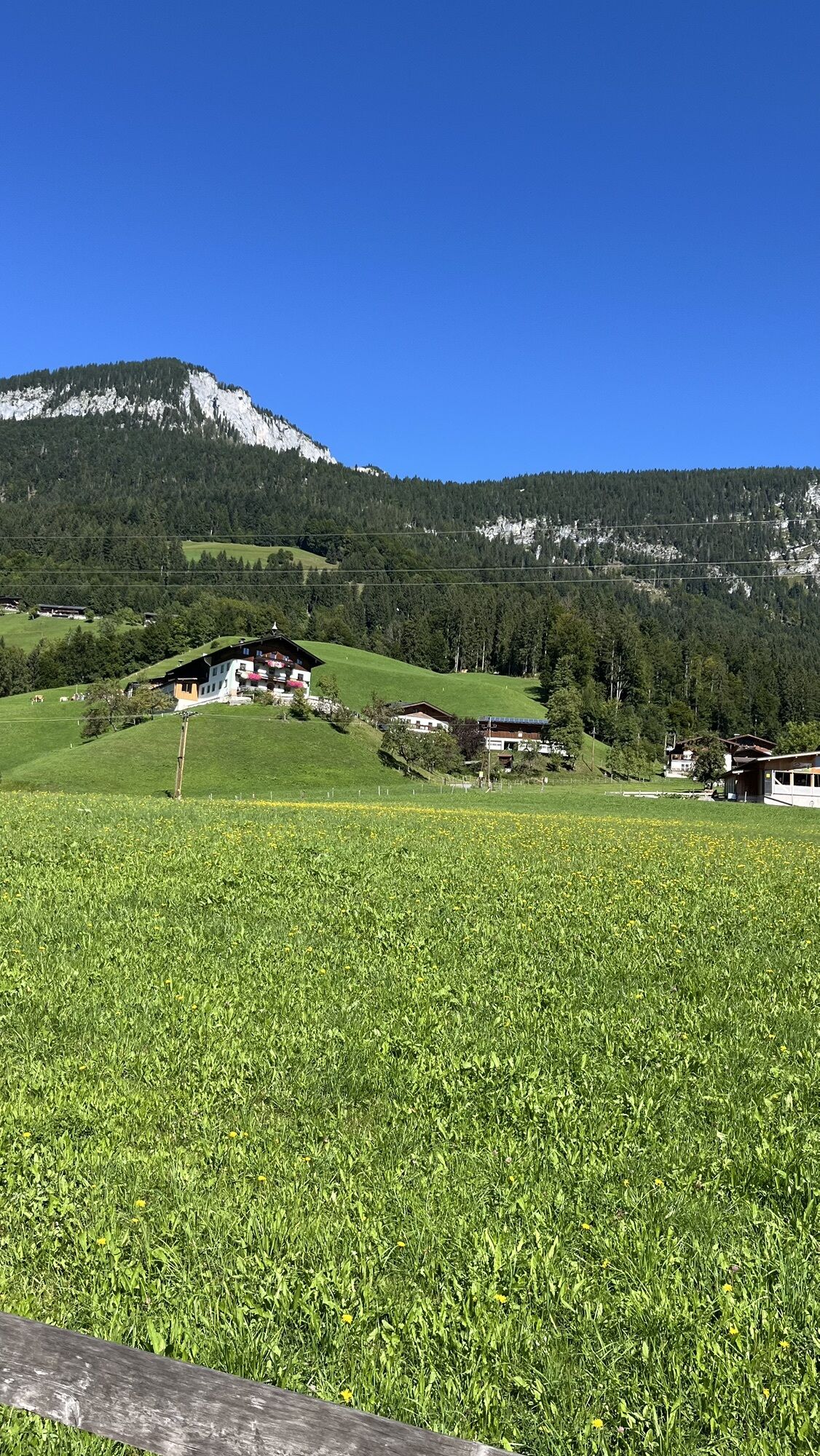
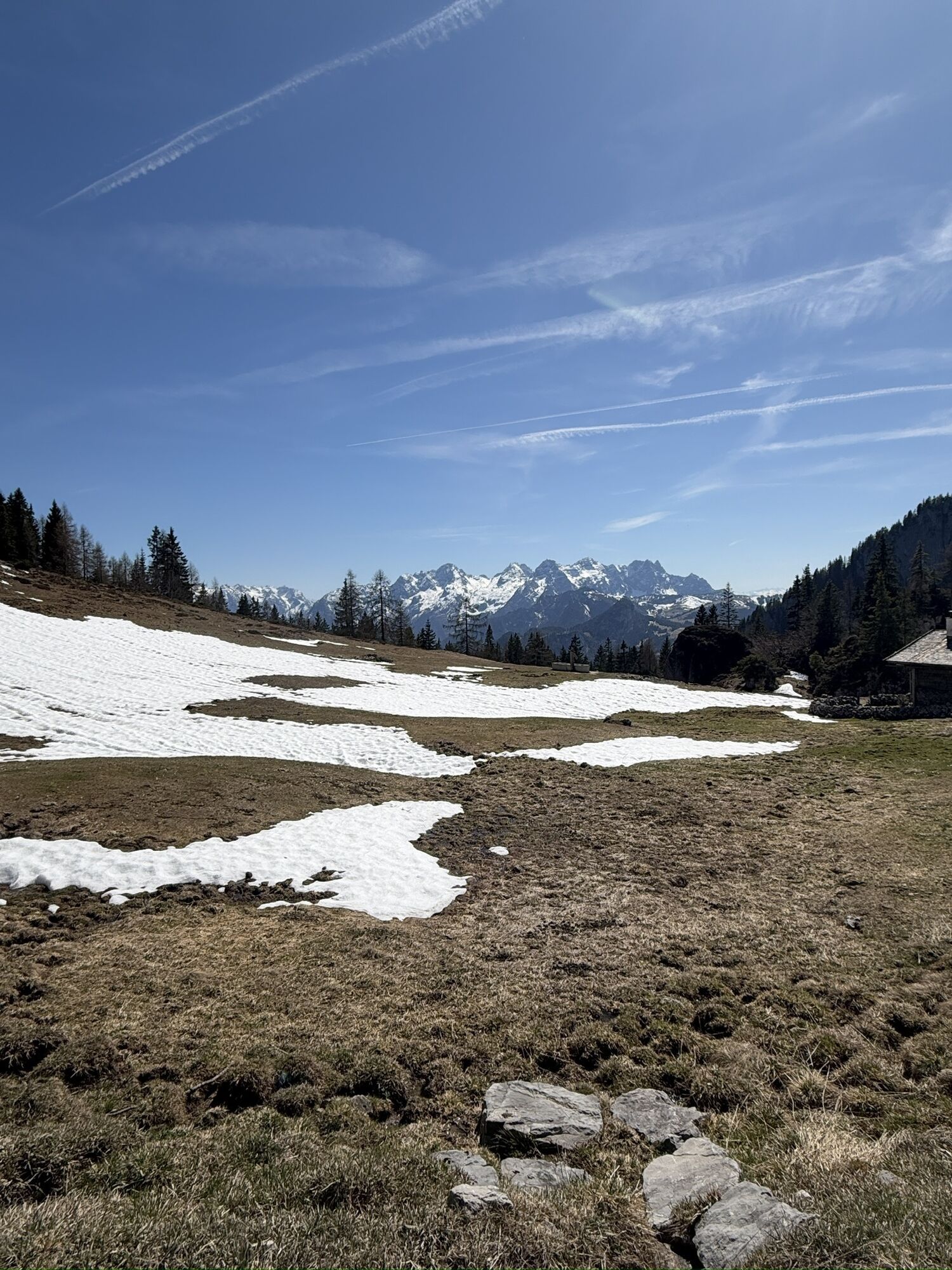
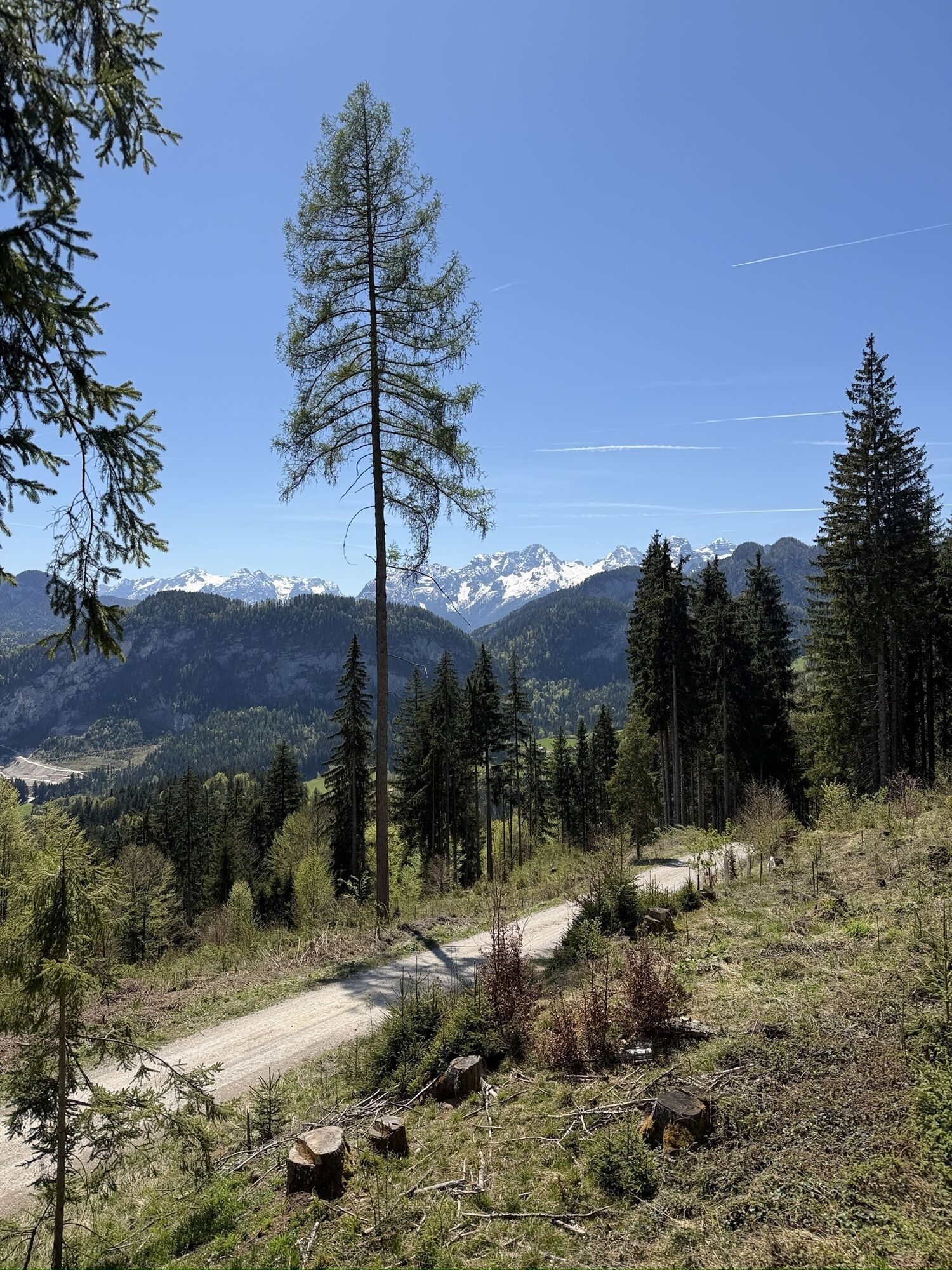
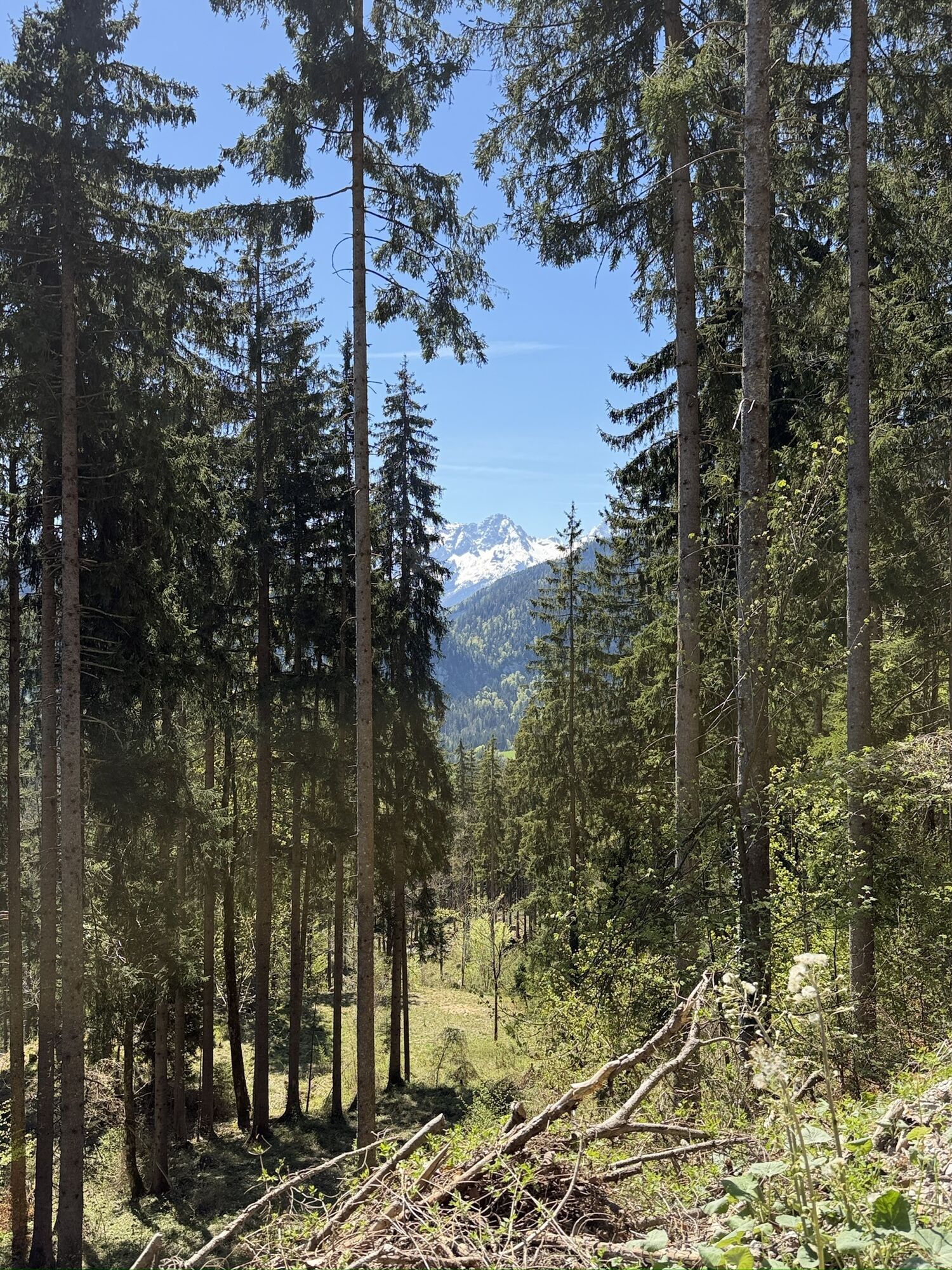
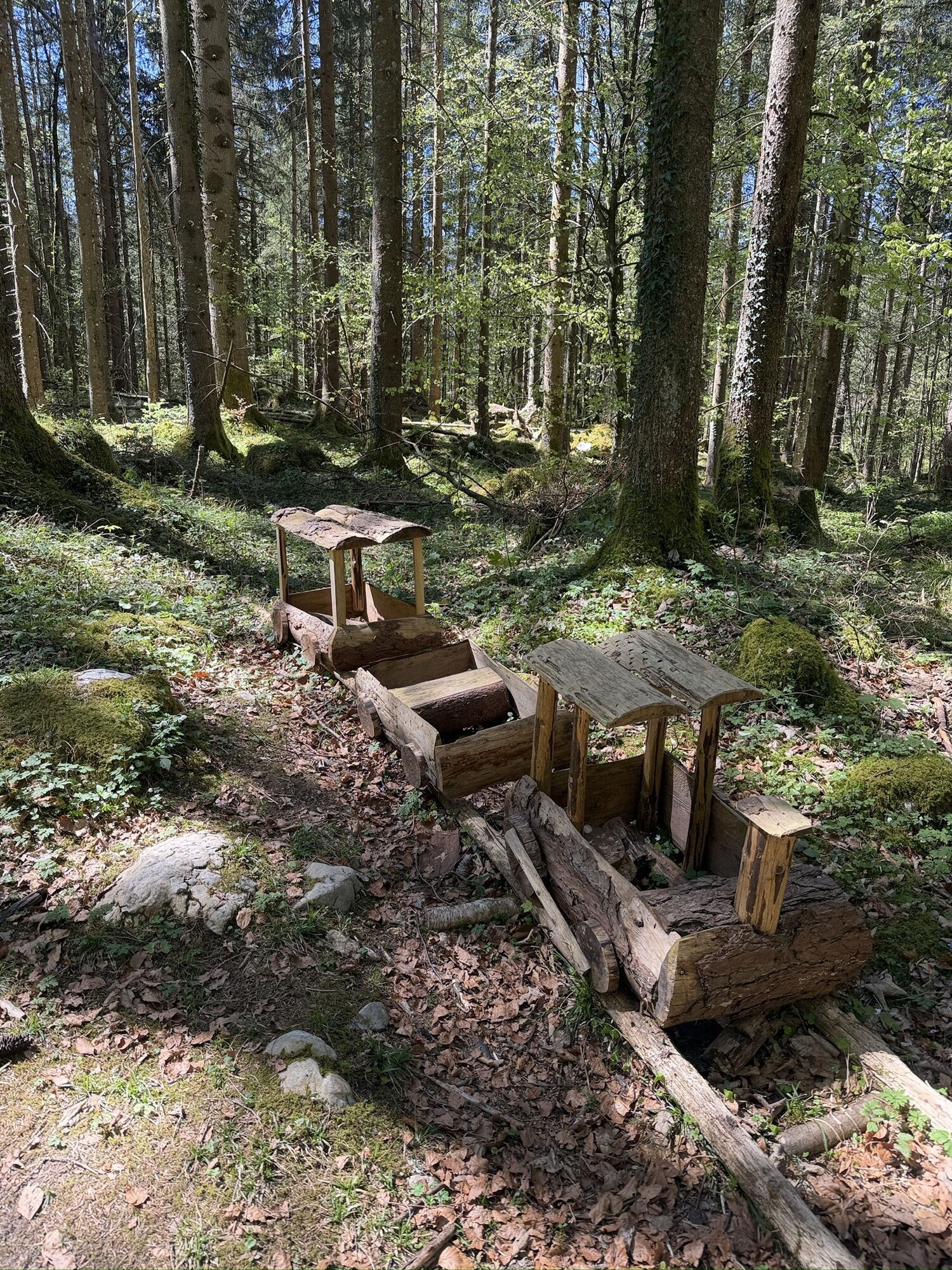
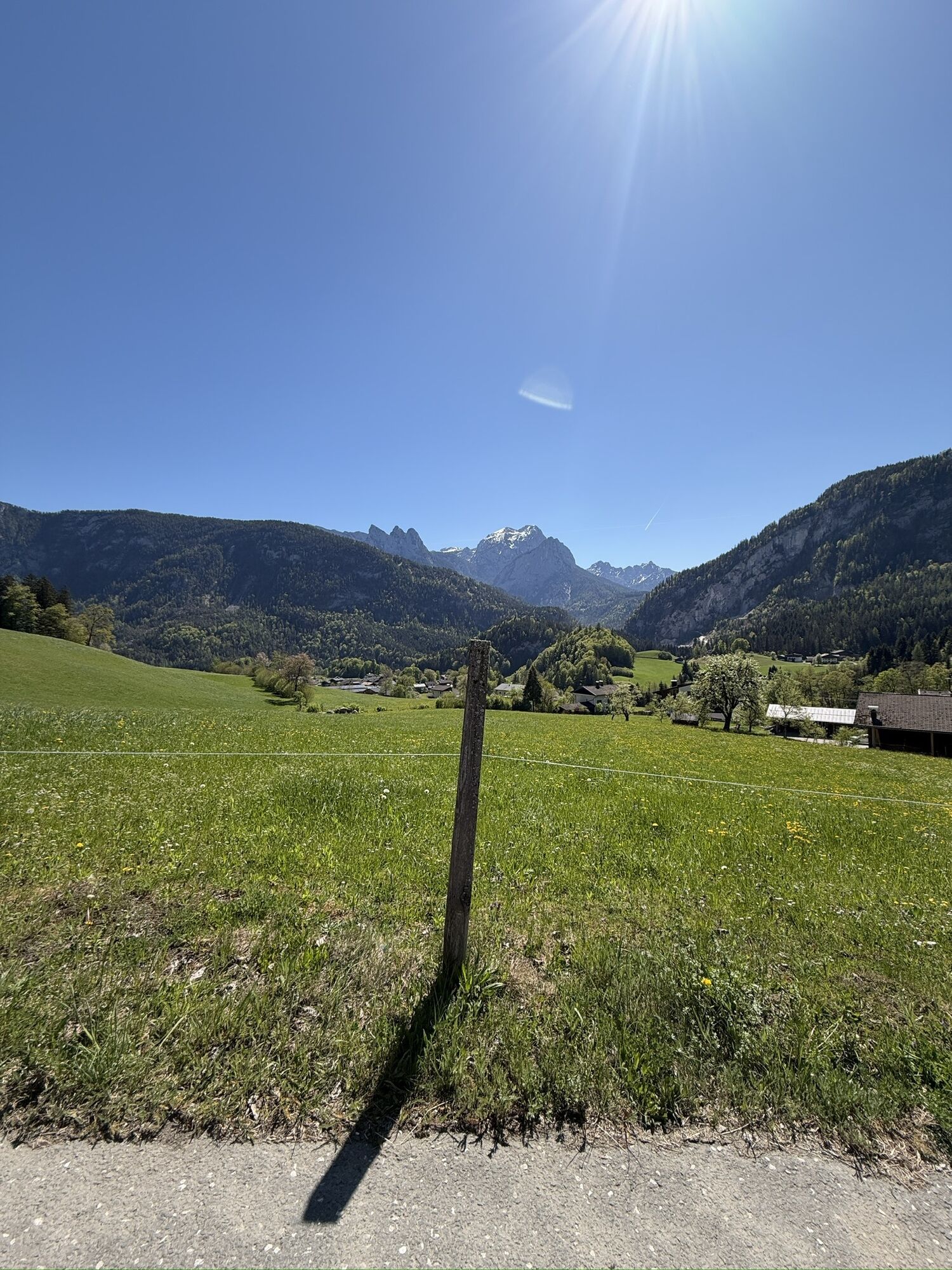
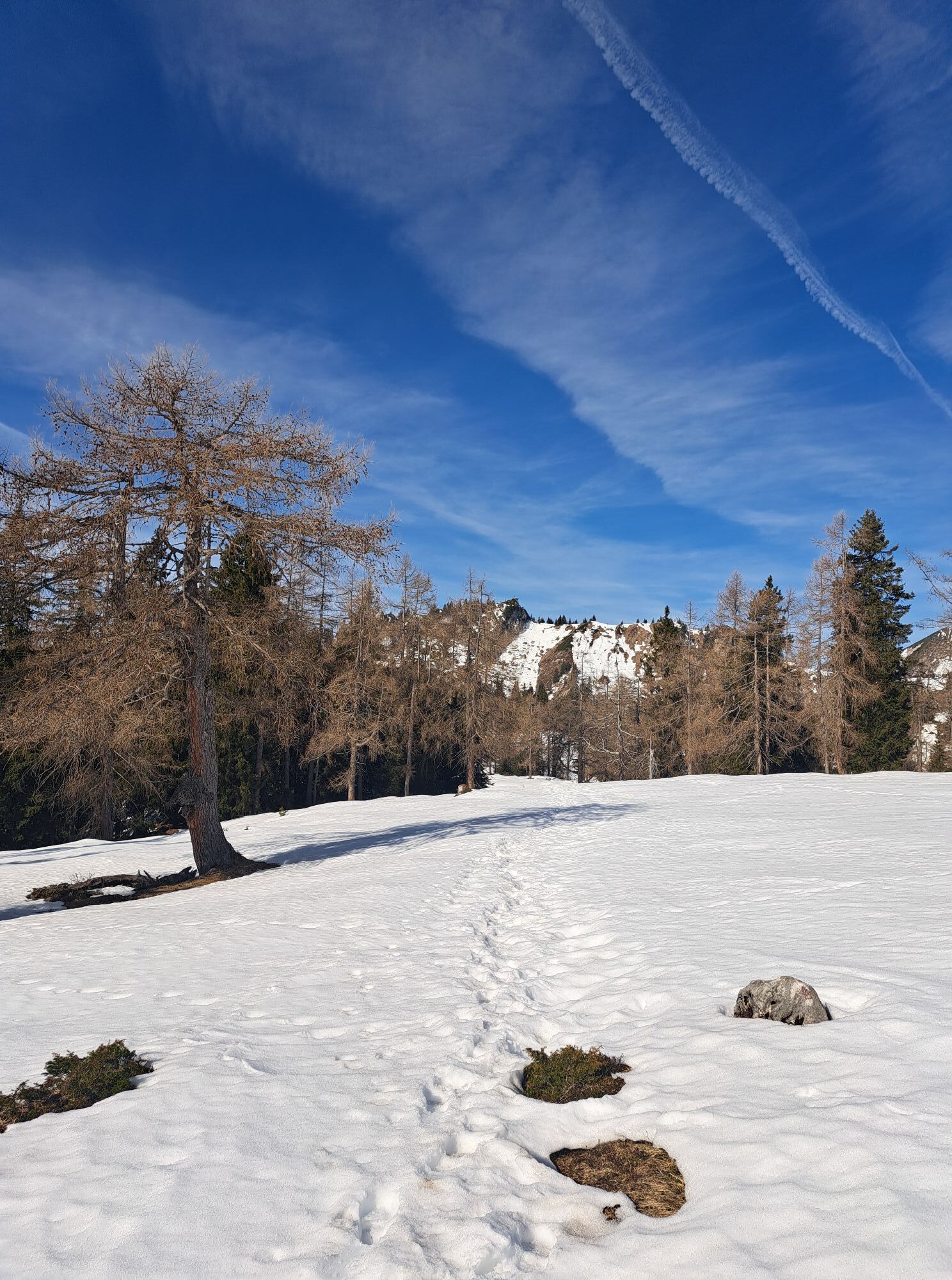
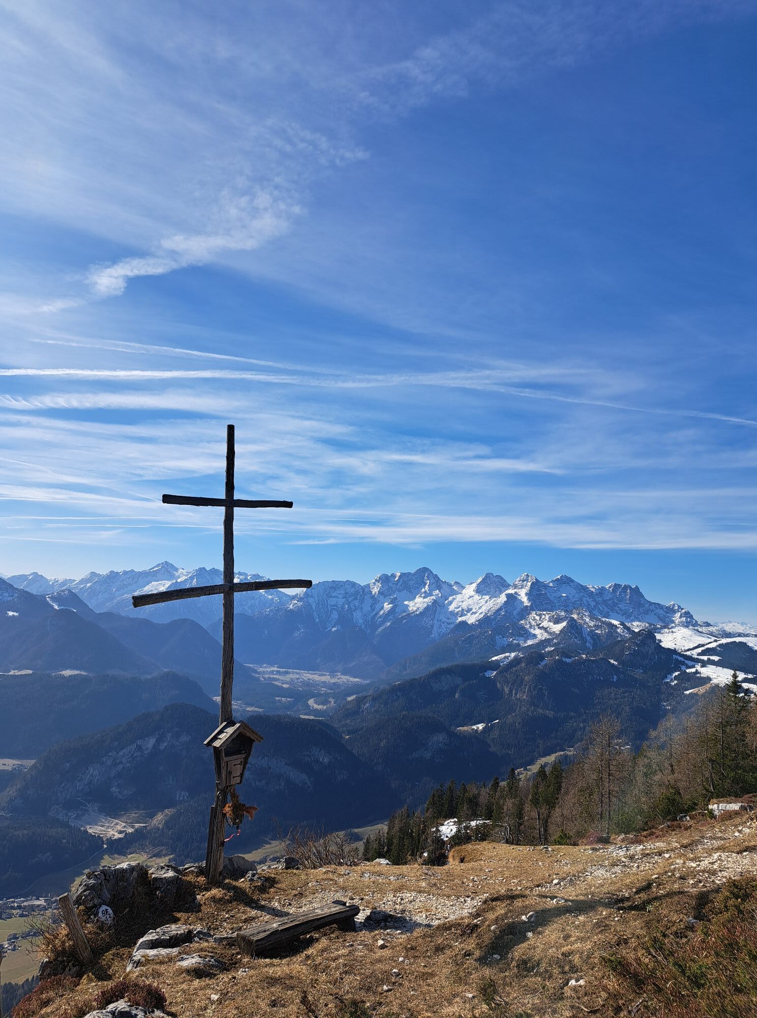
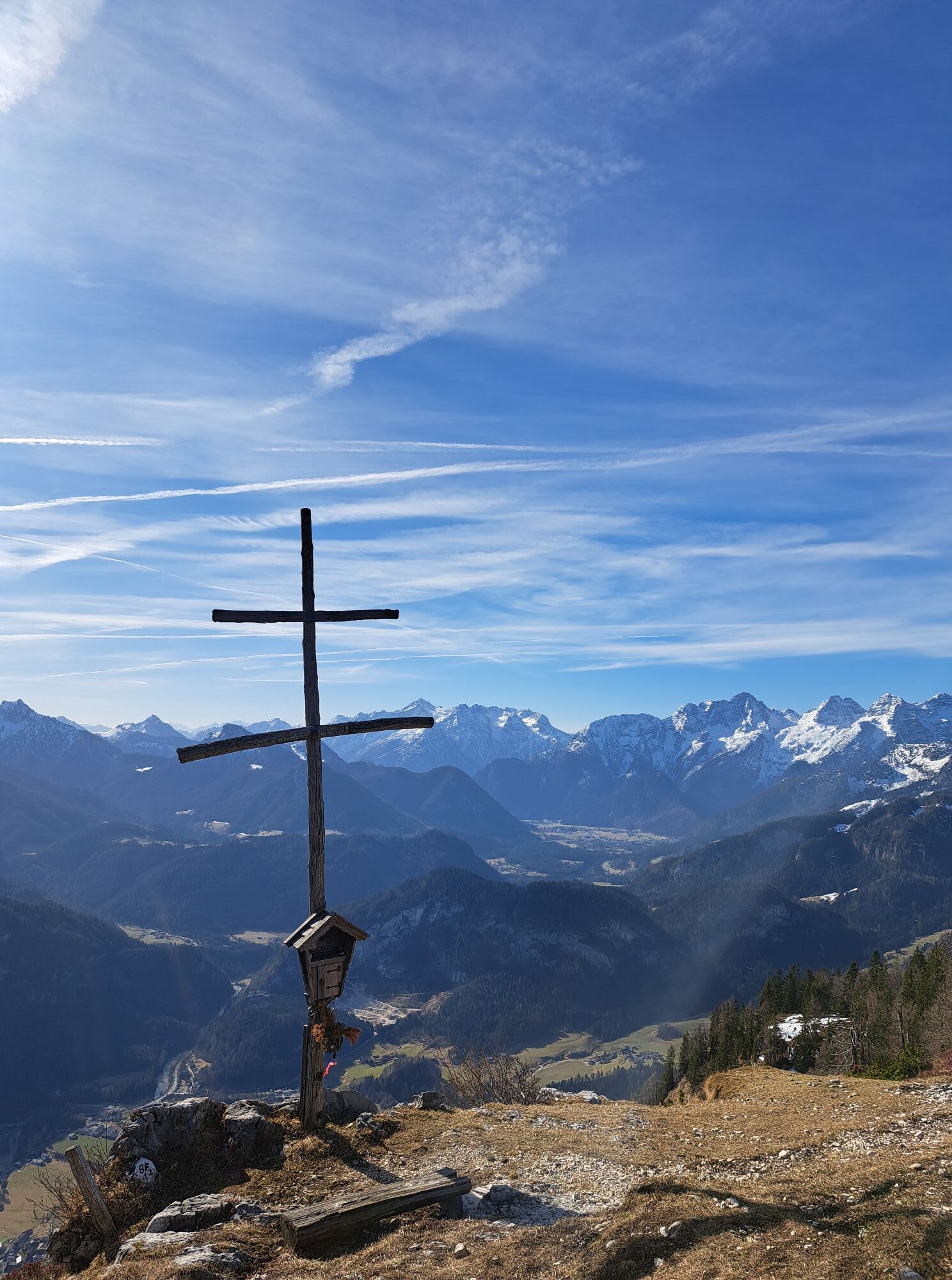
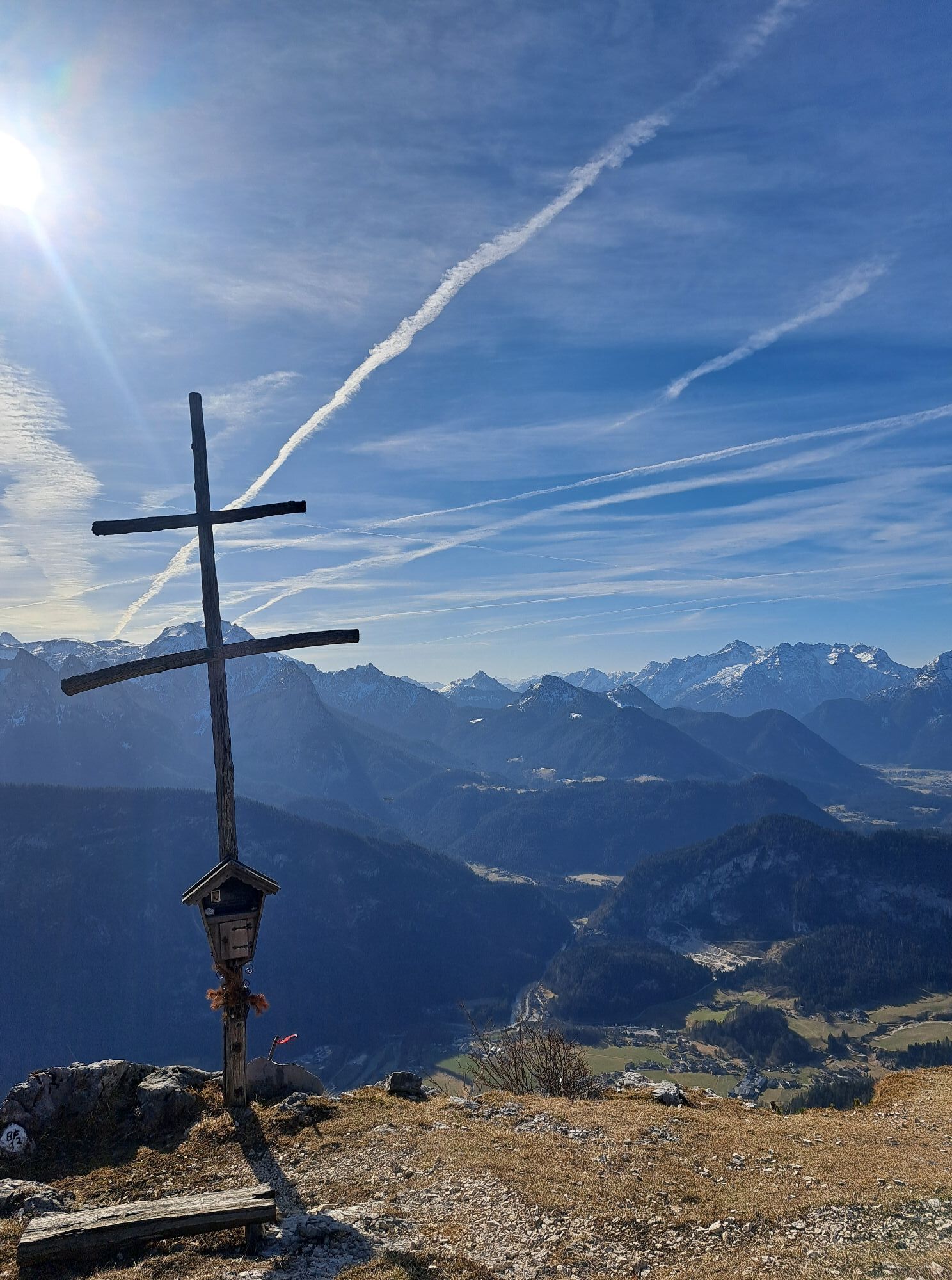
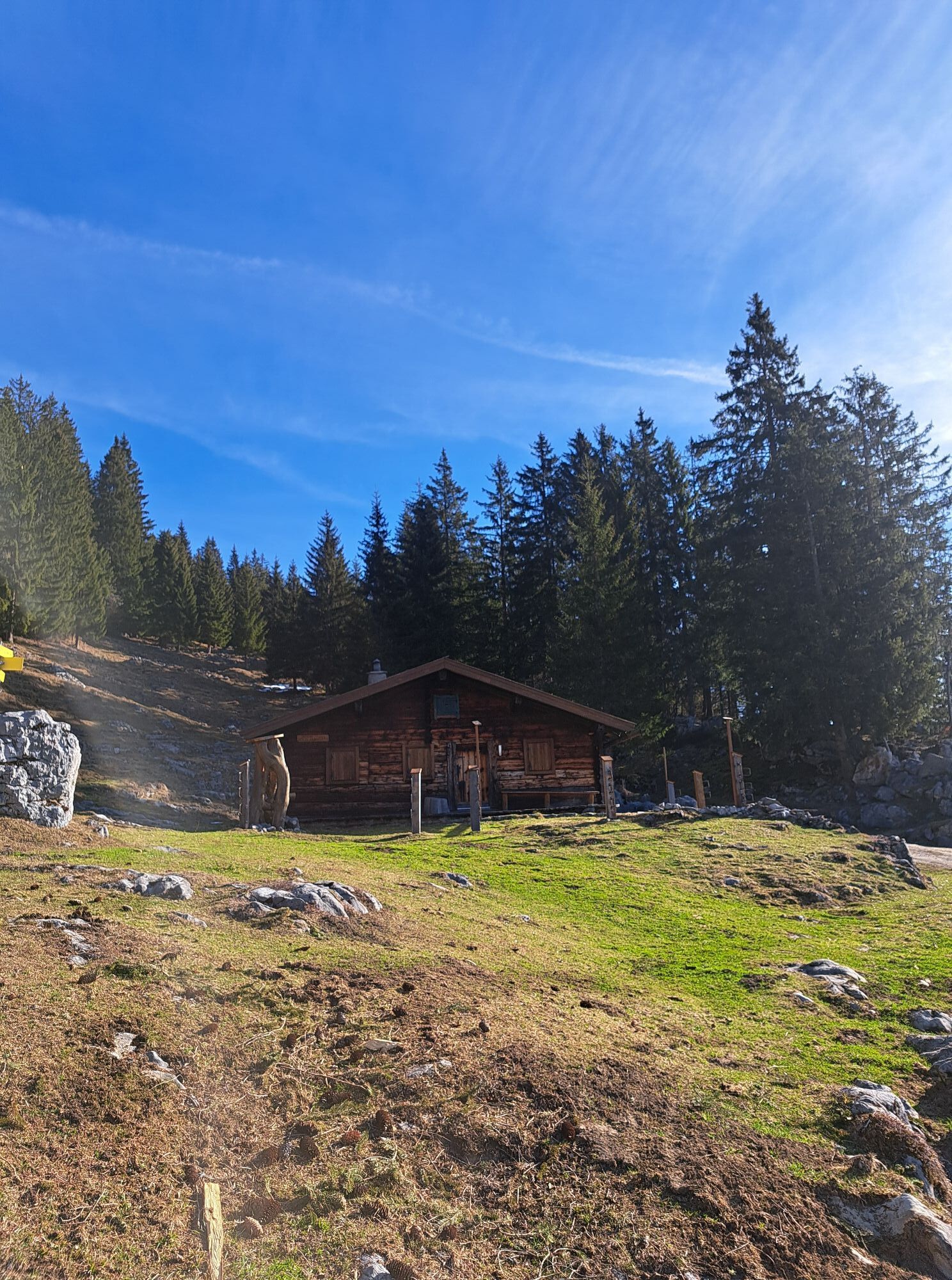
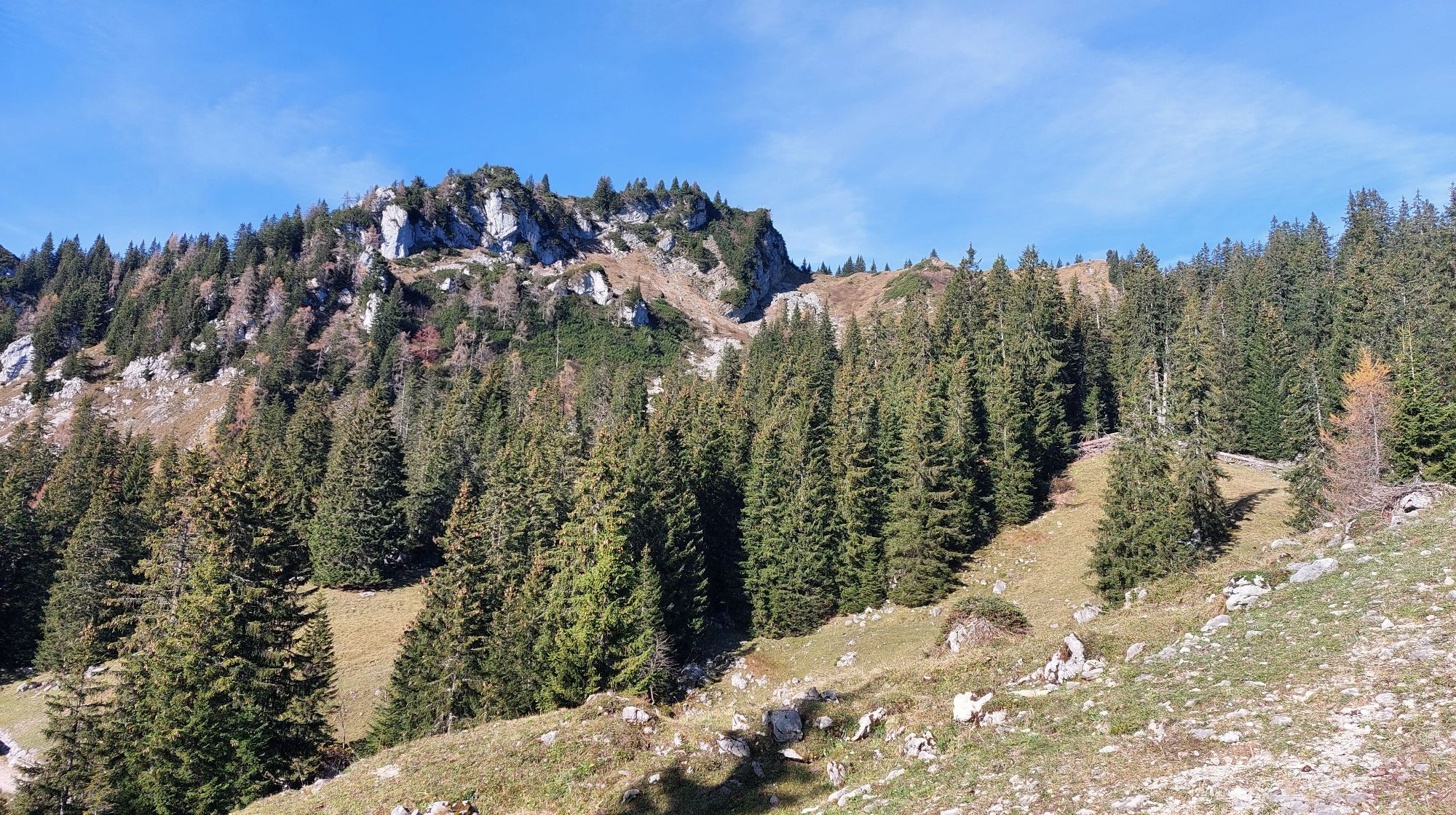
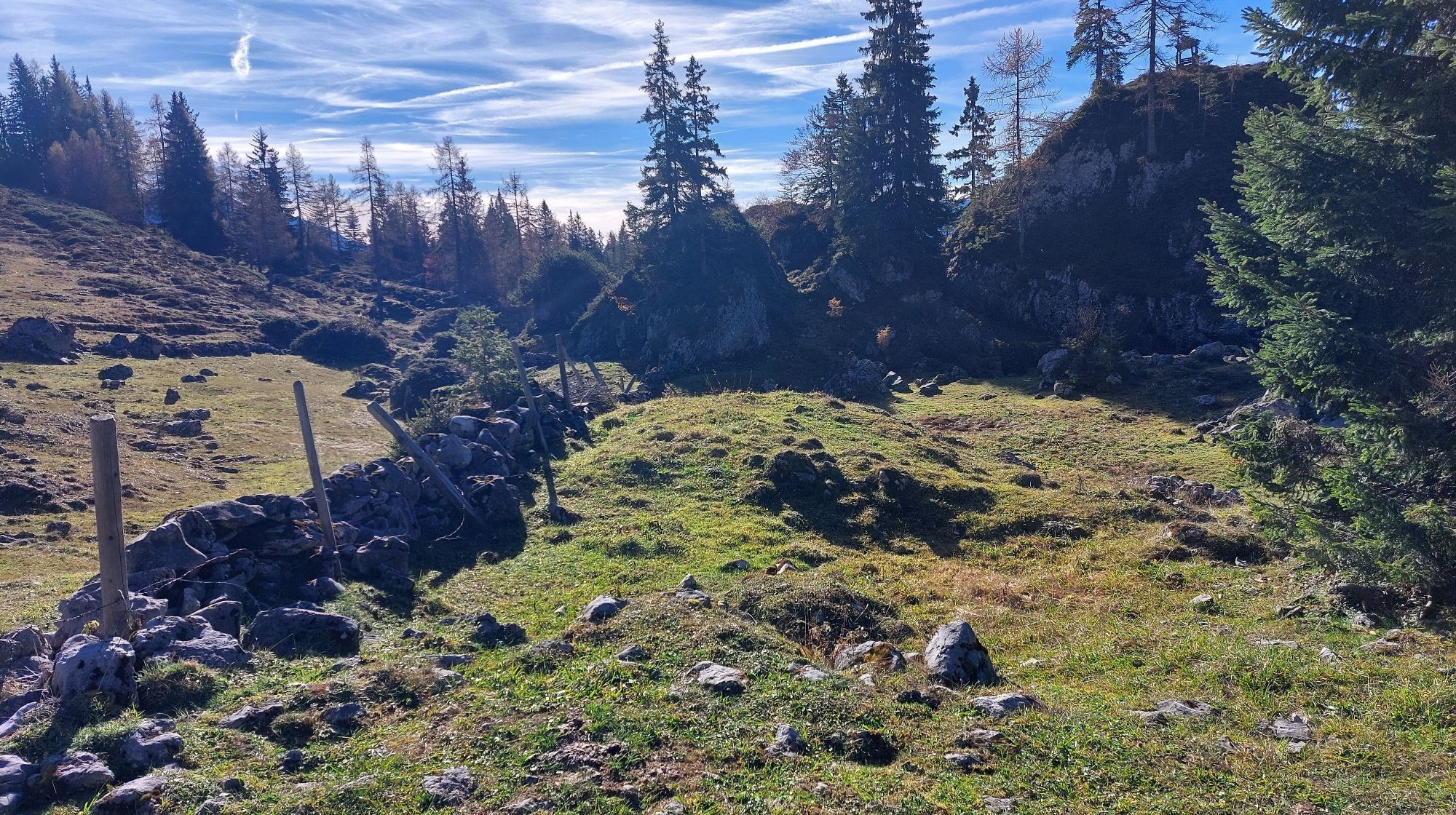
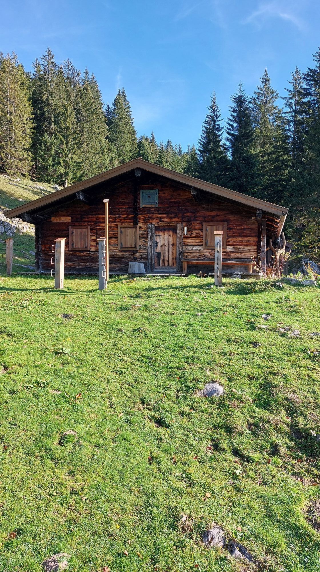
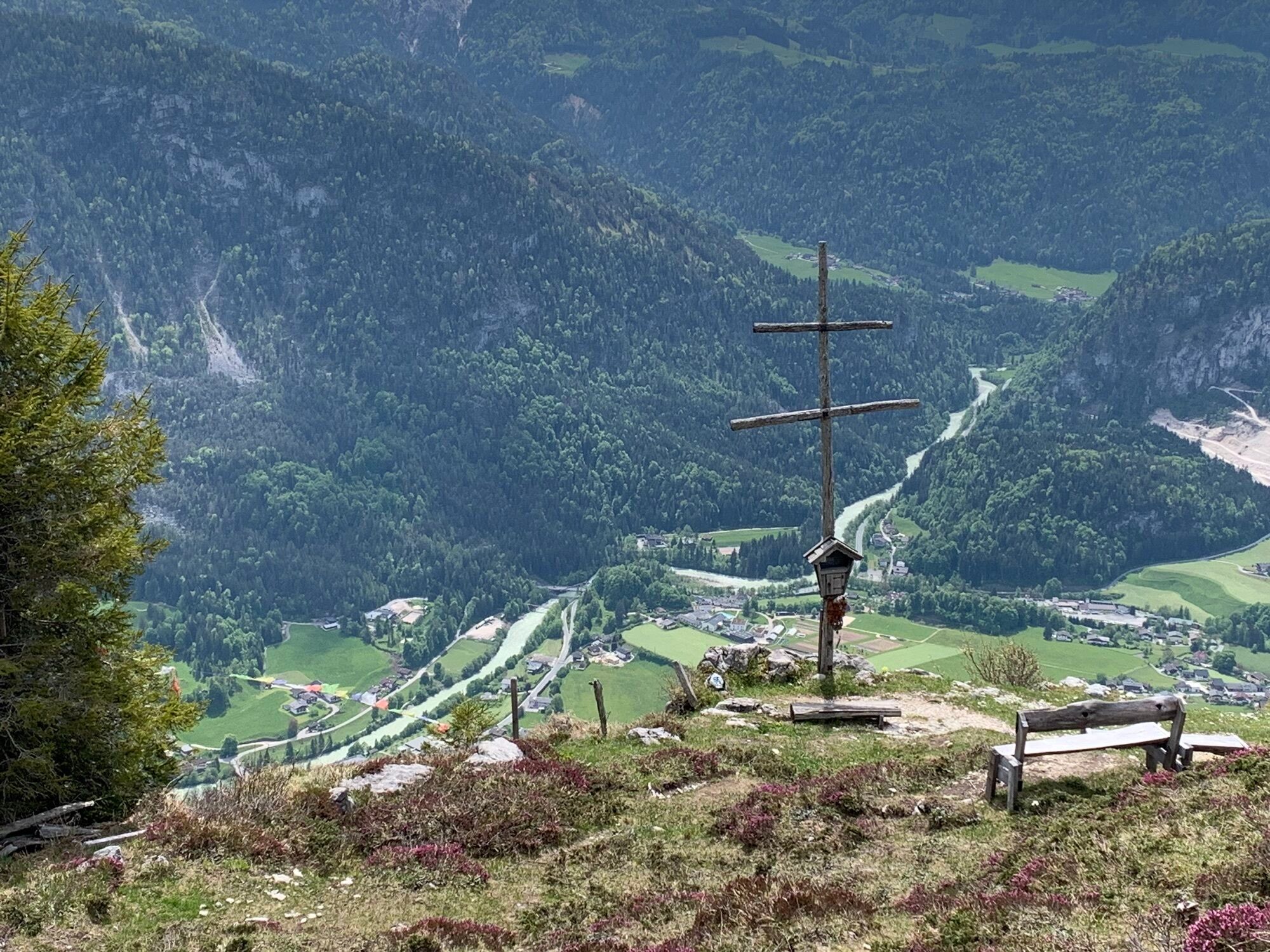
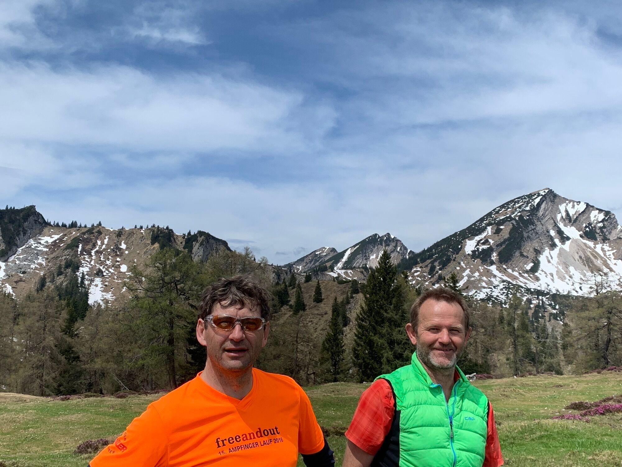

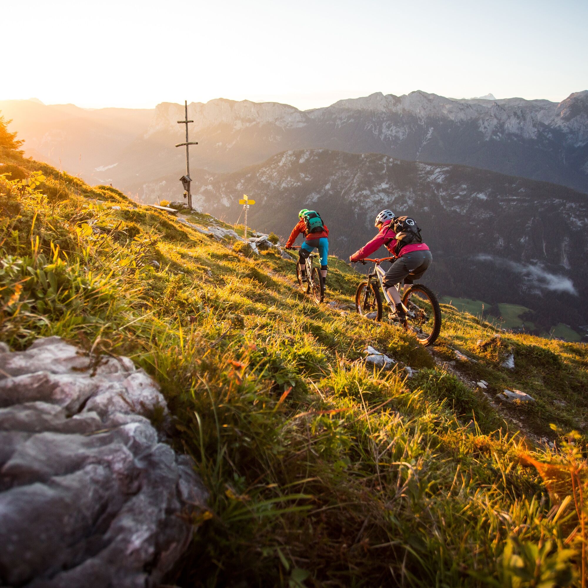
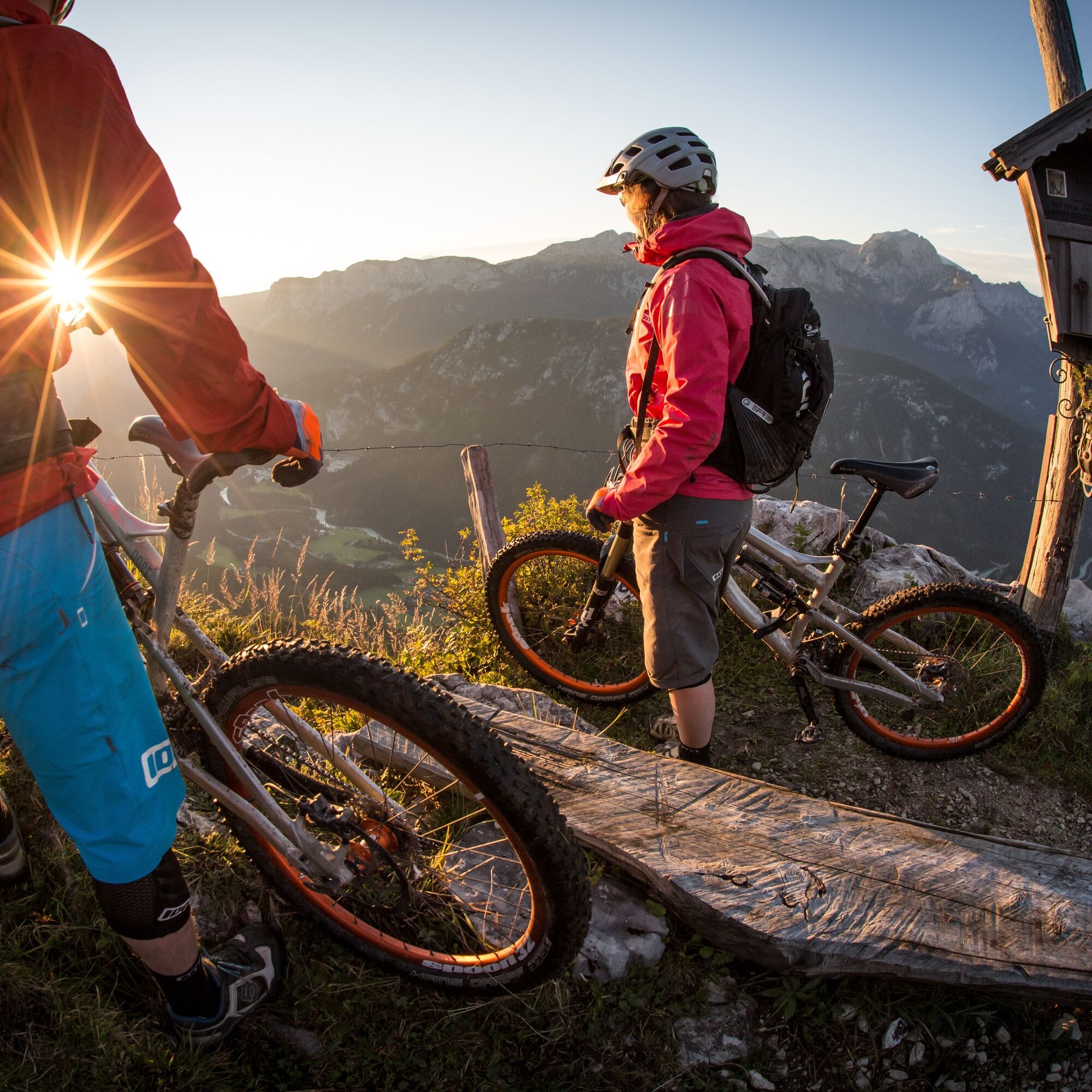
From Unken along the village road and then the forest road uphill to the Wetterkreuz. Descend via the crisp Wetterkreuz trail in Salzburg's Saalachtal valley. This runs along an old alpine path with a...
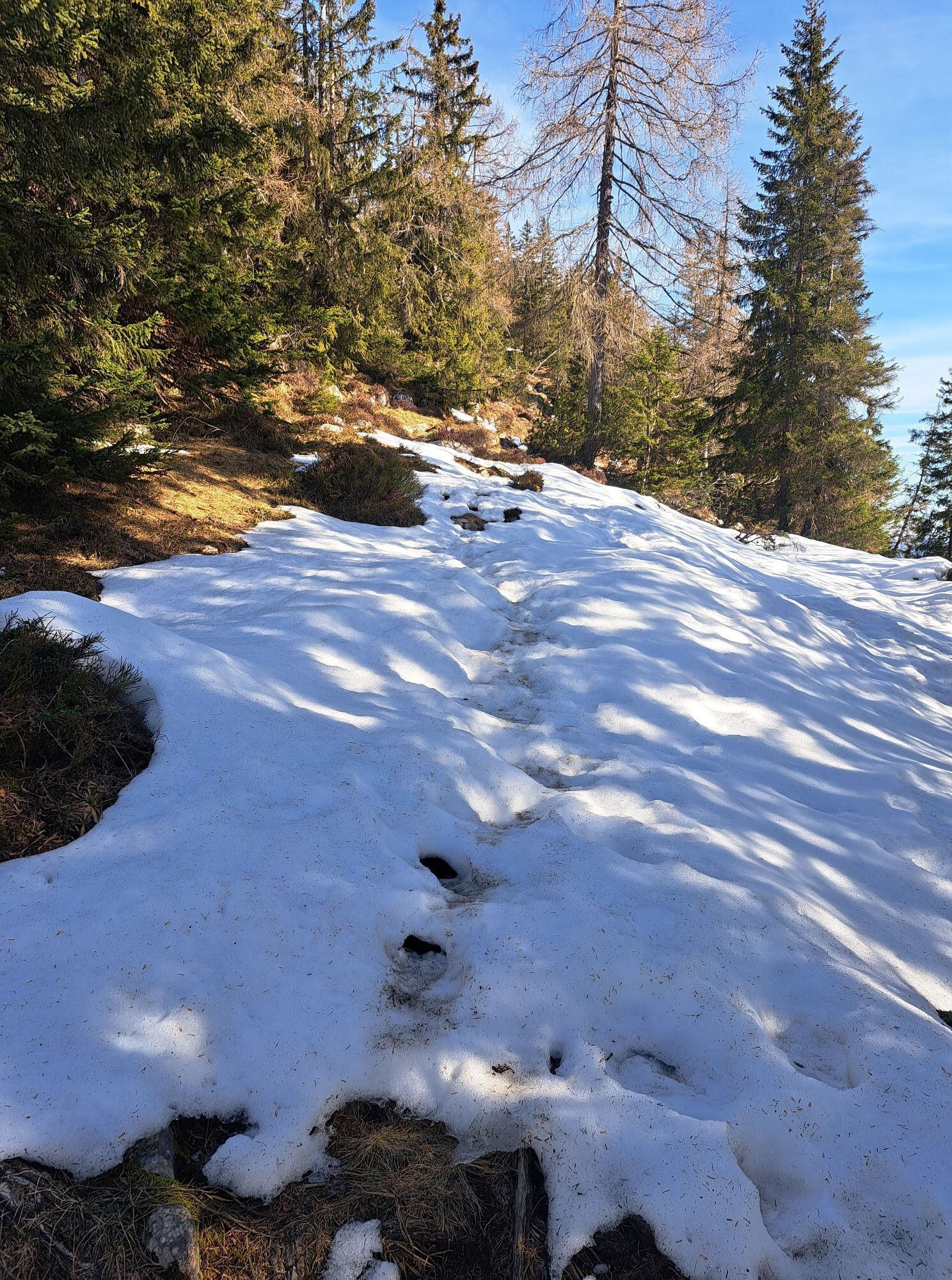
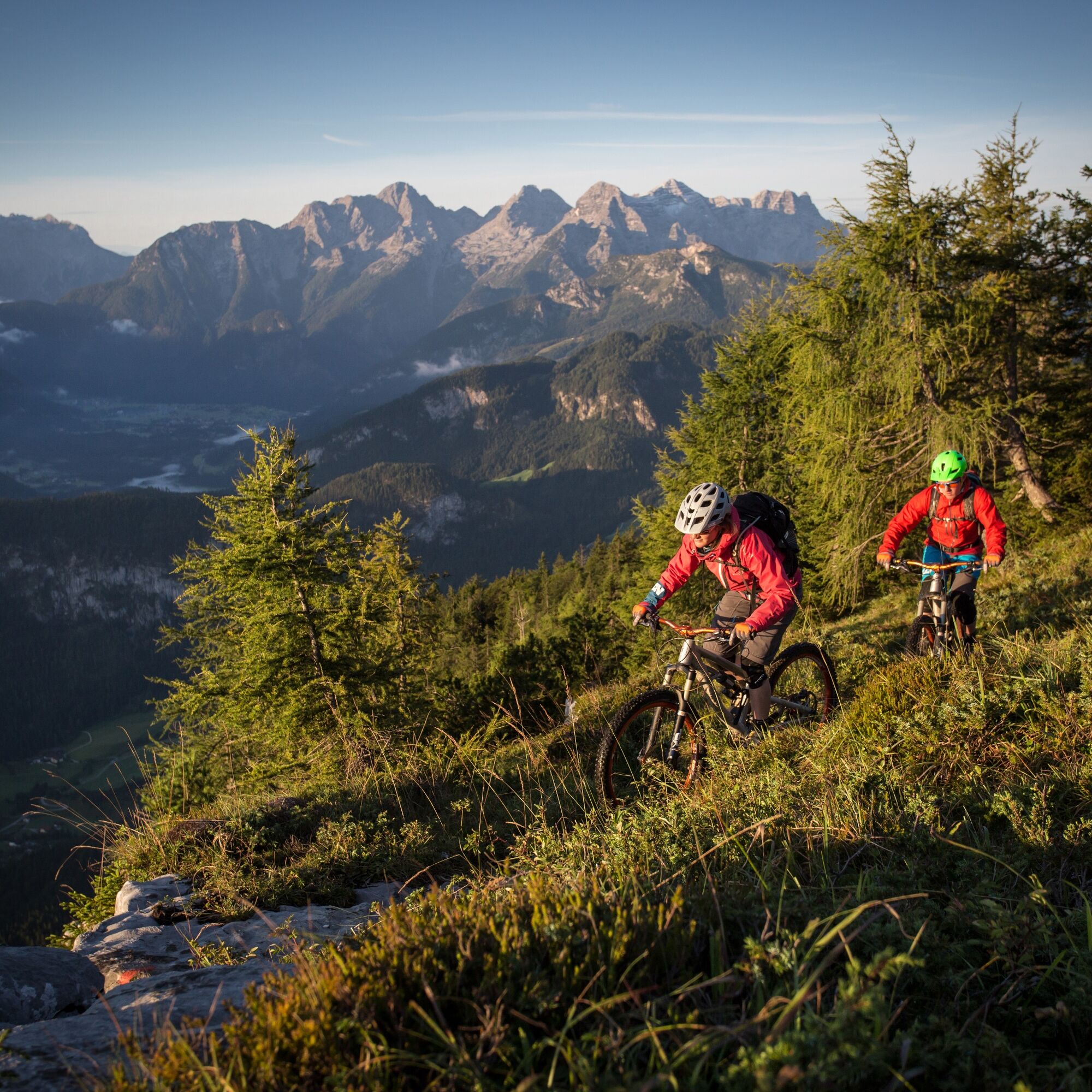
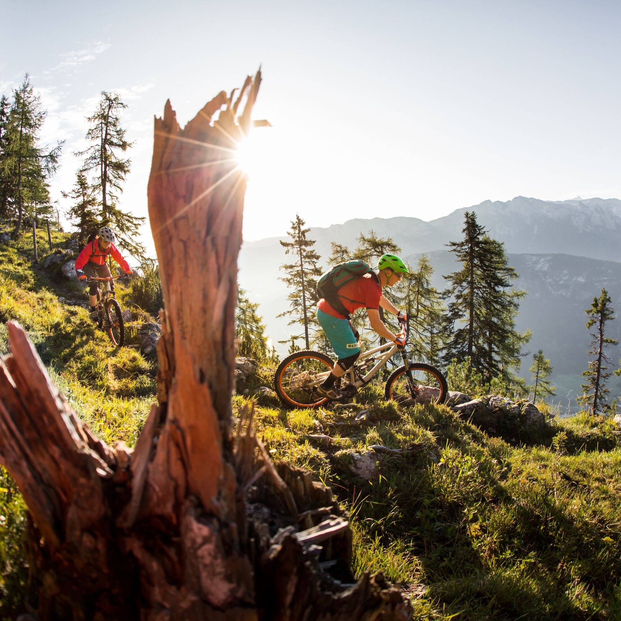
From Unken along the village road and then the forest road uphill to the Wetterkreuz. Descend via the crisp Wetterkreuz trail in Salzburg's Saalachtal valley. This runs along an old alpine path with a unique view of the Reither and Loferer Steinberge mountains. The trail descends for almost two kilometres over roots and stones, with small technical challenges to master. Thanks to a "fair play" solution, bikers and hikers alike can enjoy the new trail.
The last part of the descent leads back along the same path as uphill.
Tour no. SASA23 in the bike map Salzburger Saalachtal

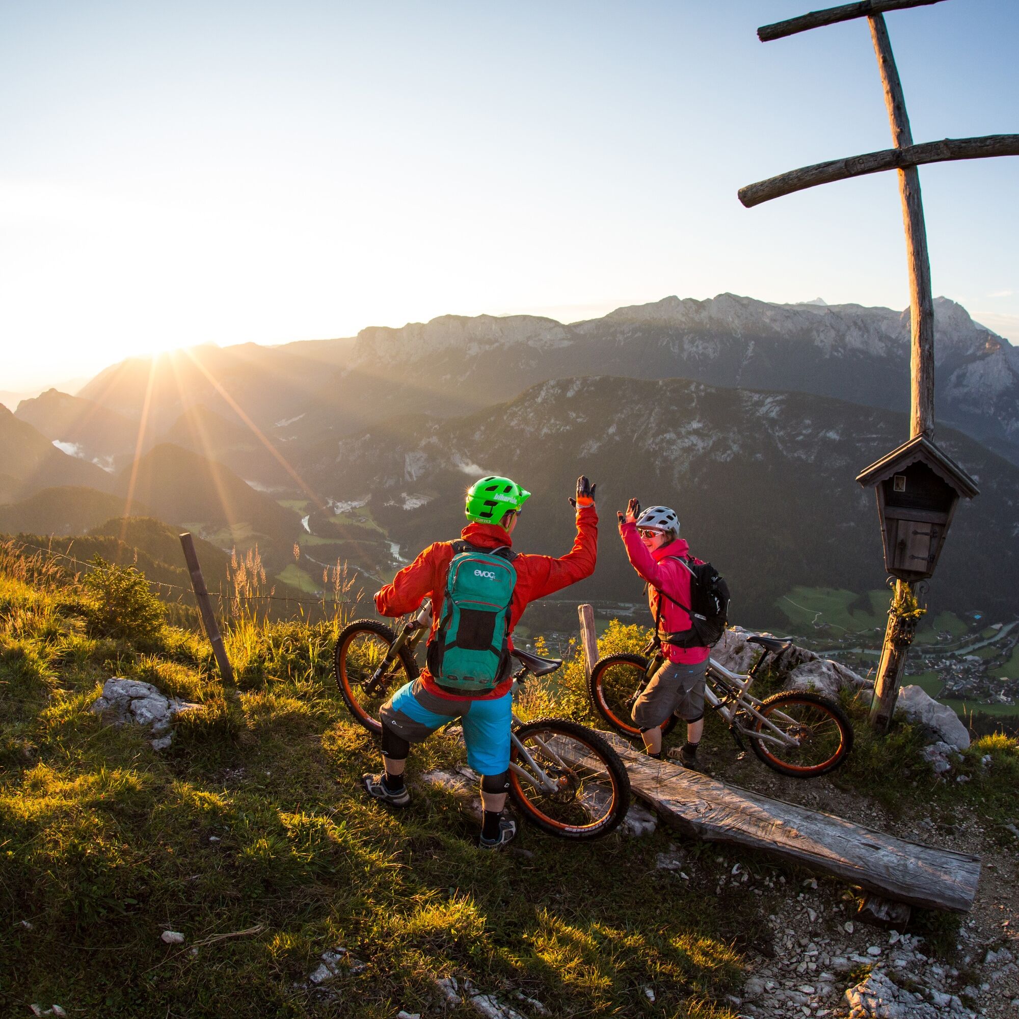
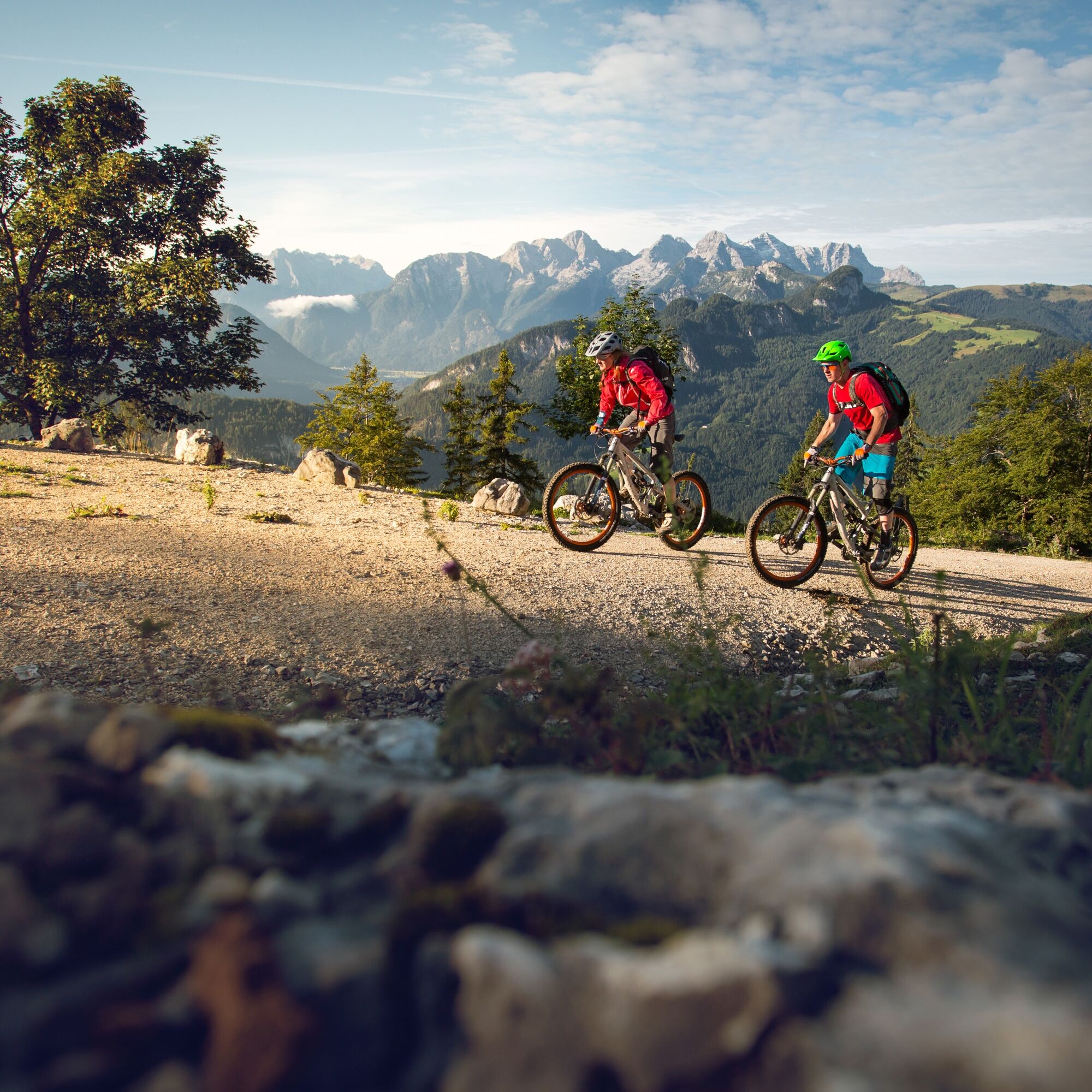

From Unken briefly along the Heutaler Landesstraße and then turn right and follow the forest road to the Wetterkreuz.
Back you go first via the trail (fair play solution) and then again the same forest road as uphill.
Tak
In addition to a water bottle, we recommend that you bring sturdy shoes, warm clothing and rain protection, a repair kit, first aid kit, mobile phone, light, gloves, sunglasses and something to eat. And of course, don't forget your helmet.
Coming from Salzburg, turn right to Unken shortly after the border. Coming from Lofer, turn right shortly before the Achberg tunnel.
At the Unken through-town, turn off in the direction of Heutal.
Take the 260 bus(timetable) to the "Unken Ortsmitte" bus stop
Parking spaces available near the Unken municipal office
S4
www.lofer.com
 Uzyskaj wgląd
Zawsze na żywo z ponad 9 500 kamer internetowych. bergfex Jako użytkownik Pro, możesz teraz zobaczyć odpowiednie kamery internetowe dla wielu wycieczek w aplikacji wycieczki od. Pozwala to na bezpośredni podgląd aktualnych warunków.
Uzyskaj wgląd
Zawsze na żywo z ponad 9 500 kamer internetowych. bergfex Jako użytkownik Pro, możesz teraz zobaczyć odpowiednie kamery internetowe dla wielu wycieczek w aplikacji wycieczki od. Pozwala to na bezpośredni podgląd aktualnych warunków.

Popularne wycieczki w okolicy
-
4,4
Staufen-Bergtour
średniWędrówka 14,1 km -
4,3
Halsalm
Wędrówka 6,43 km -
4,9
Ramsau/Hintersee-Runde
światłoWędrówka 9,44 km -
4,9
Dötzenkopf Rundweg
średniWędrówka 6,95 km -
4,8
Atemberaubende Aussicht auf dem Dürrnbachhorn
średniWędrówka 8,44 km -
4,7
Loferer Steinberge, zum Hinterhorn über die Schmid-Zabierow Hütte, 19.06.22
ciężkiWędrówka 14,0 km -
4,5
Seisenberg Gorge
światłoWędrówka 2,41 km -
4,7
Over the waterfall trail into the Almenwelt Lofer
średniWędrówka 3,29 km -
4,5
Rundweg vom Hintersee zur Halsalm
średniWędrówka 9,53 km -
4,5
Unternberg
światłoWędrówka 9,20 km
Wędrówki i tropienie


Nie przegap ofert i inspiracji na następne wakacje
Twój adres e-mail została dodana do listy mailingowej.





