







World Cup Slalom Course (III-IV)
Poziom trudności: 4
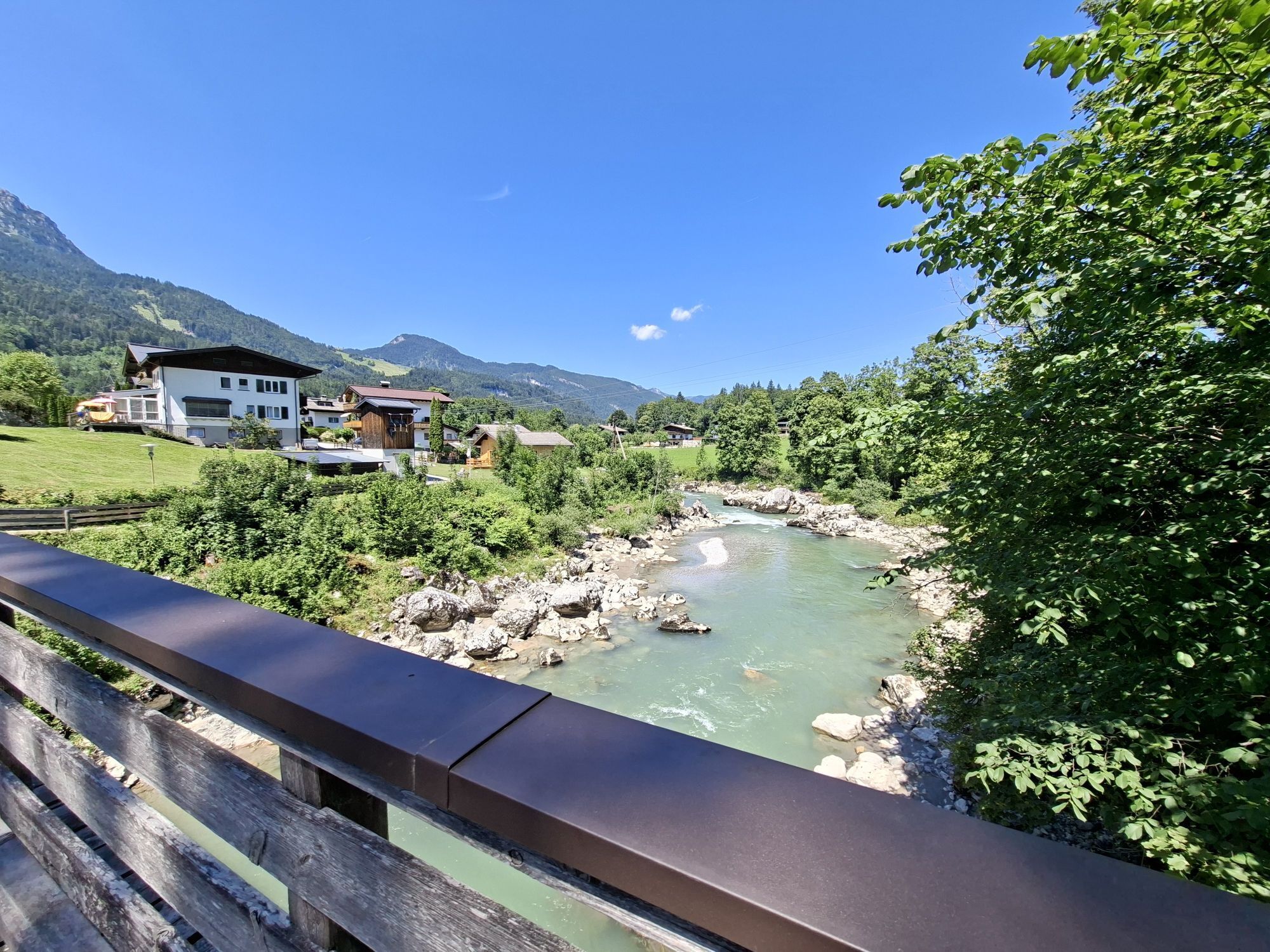
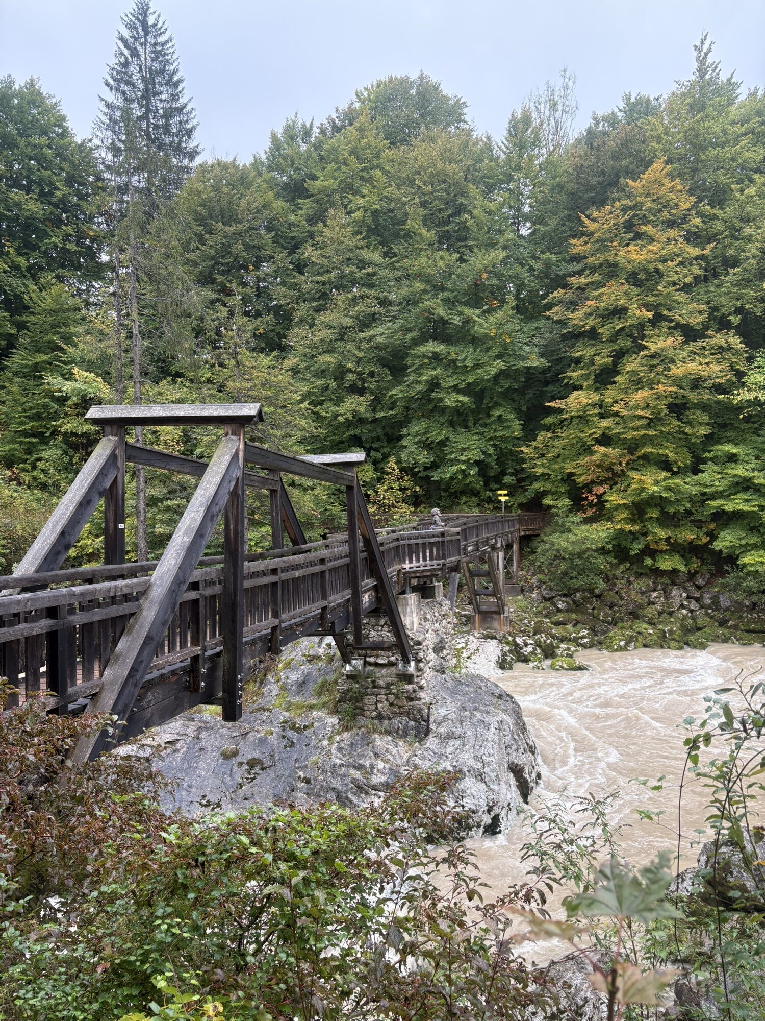
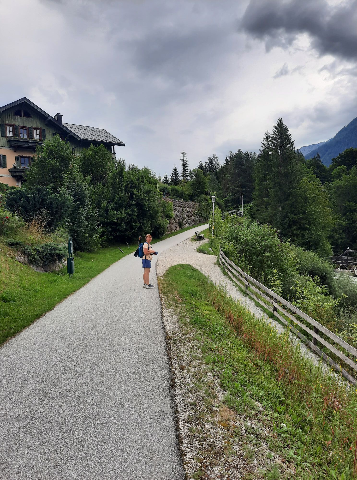
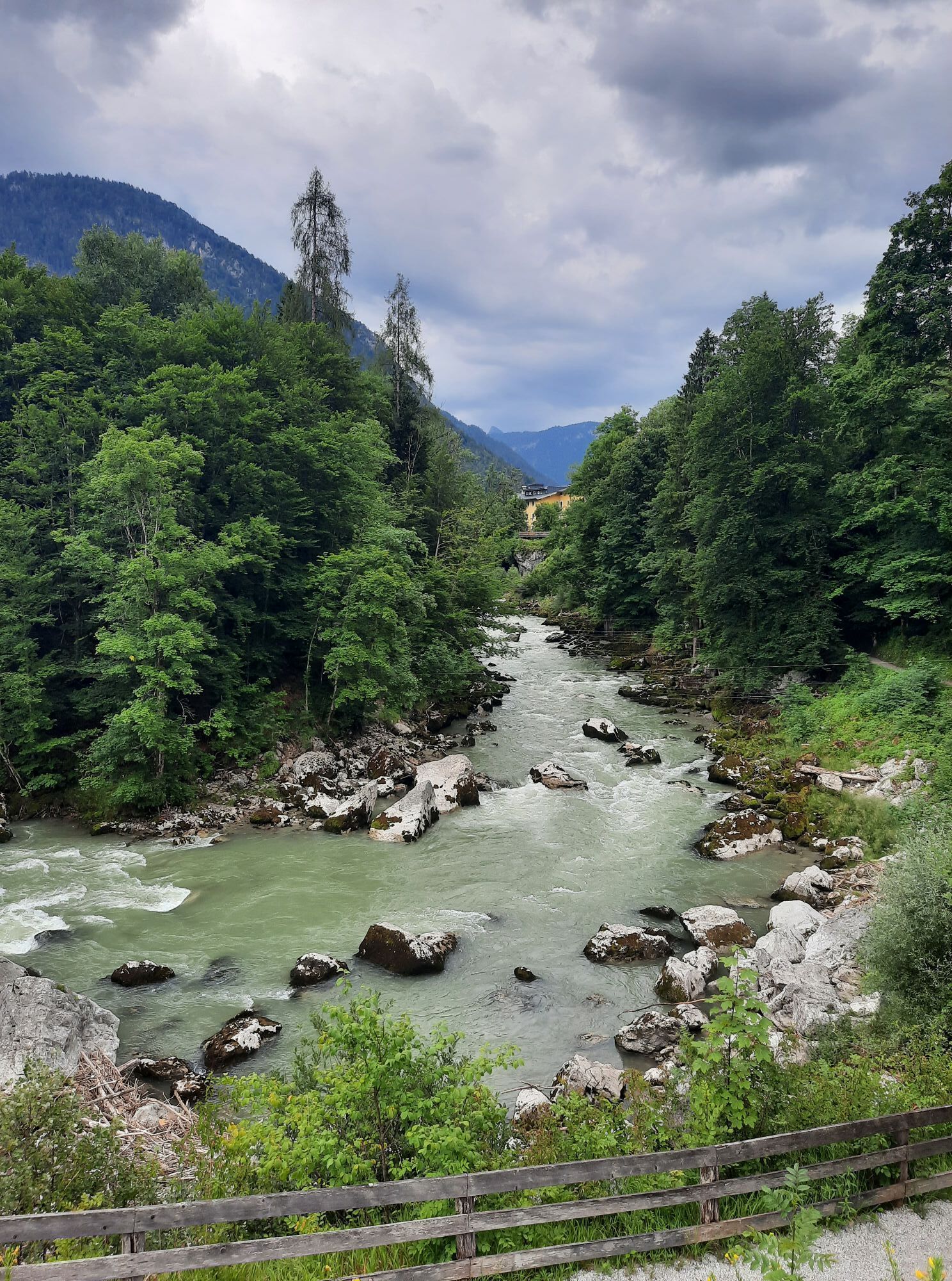
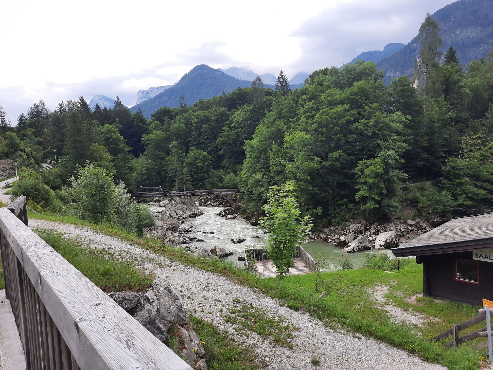

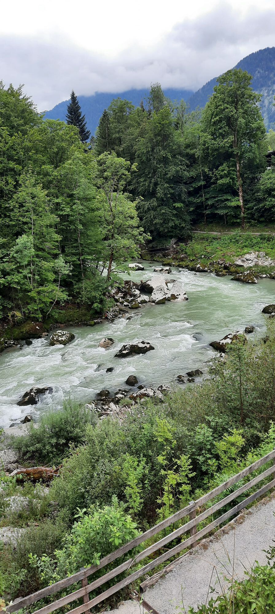
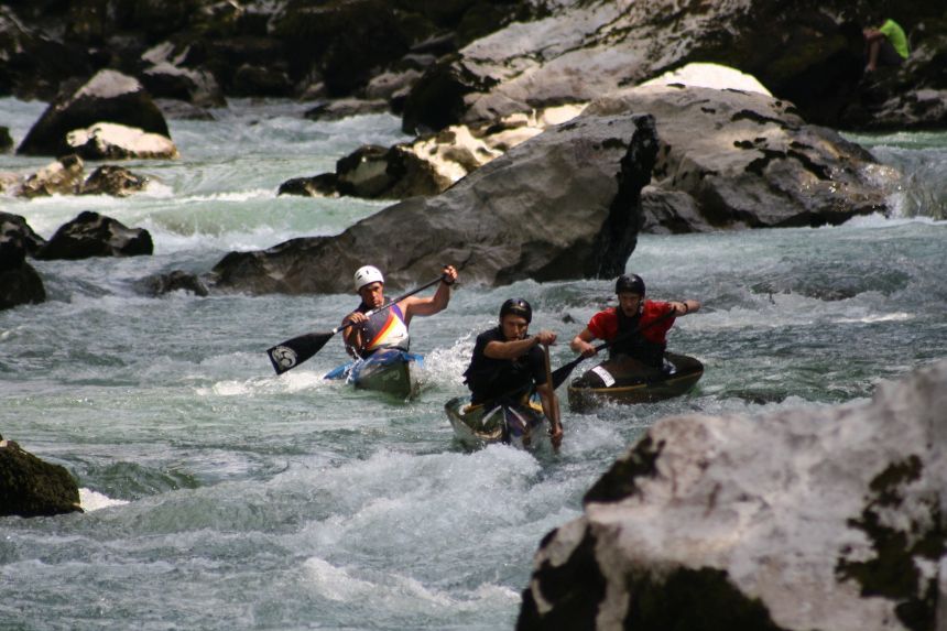
One of the last natural canoe routes in Europe where competitions take place.In 1998, 2004 and 2013 the Junior World Championship took place on the stretch from the Hubertussteg to the Teufelssteg. The...
One of the last natural canoe routes in Europe where competitions take place.In 1998, 2004 and 2013 the Junior World Championship took place on the stretch from the Hubertussteg to the Teufelssteg. The annual Lofer Rodeo also takes place on this stretch.

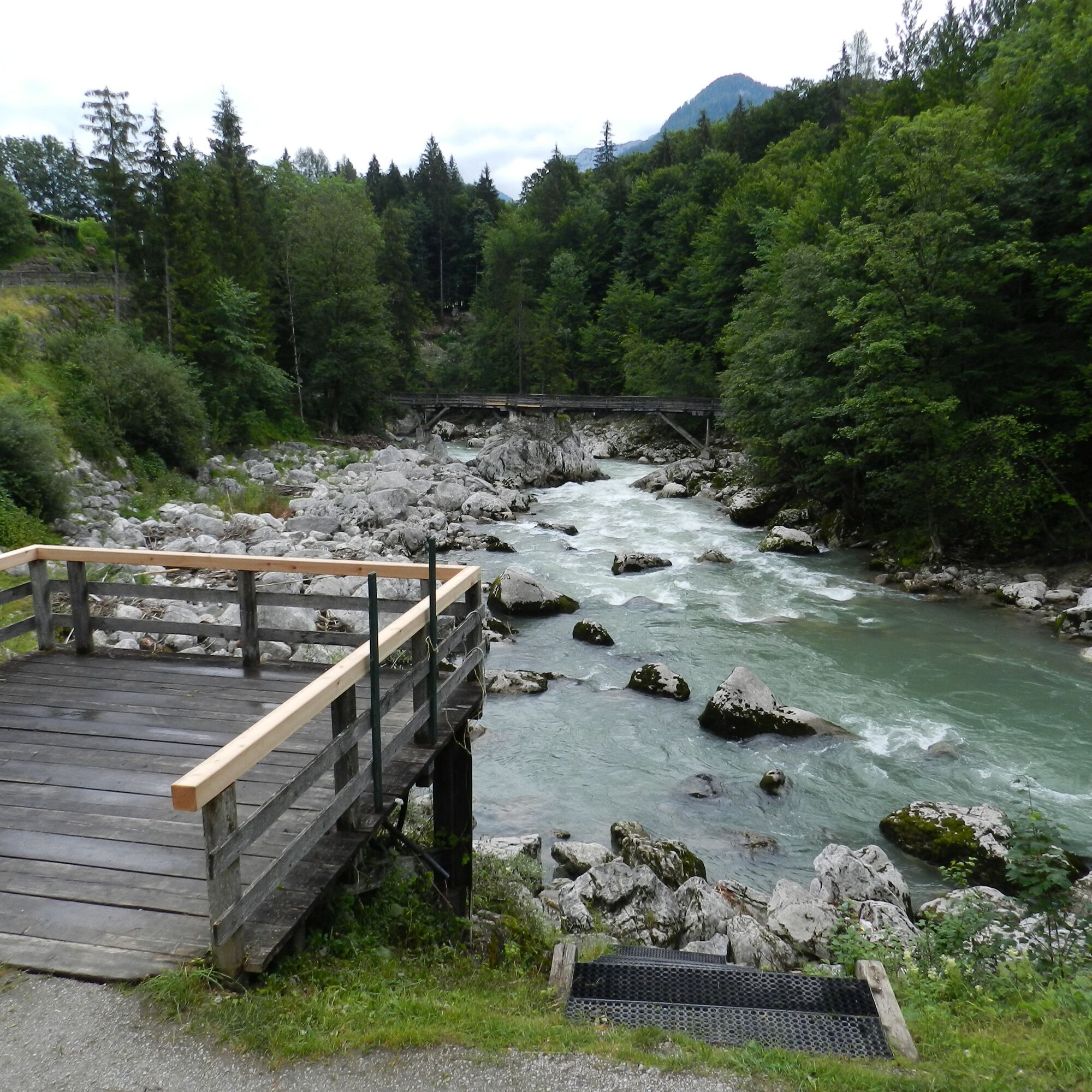
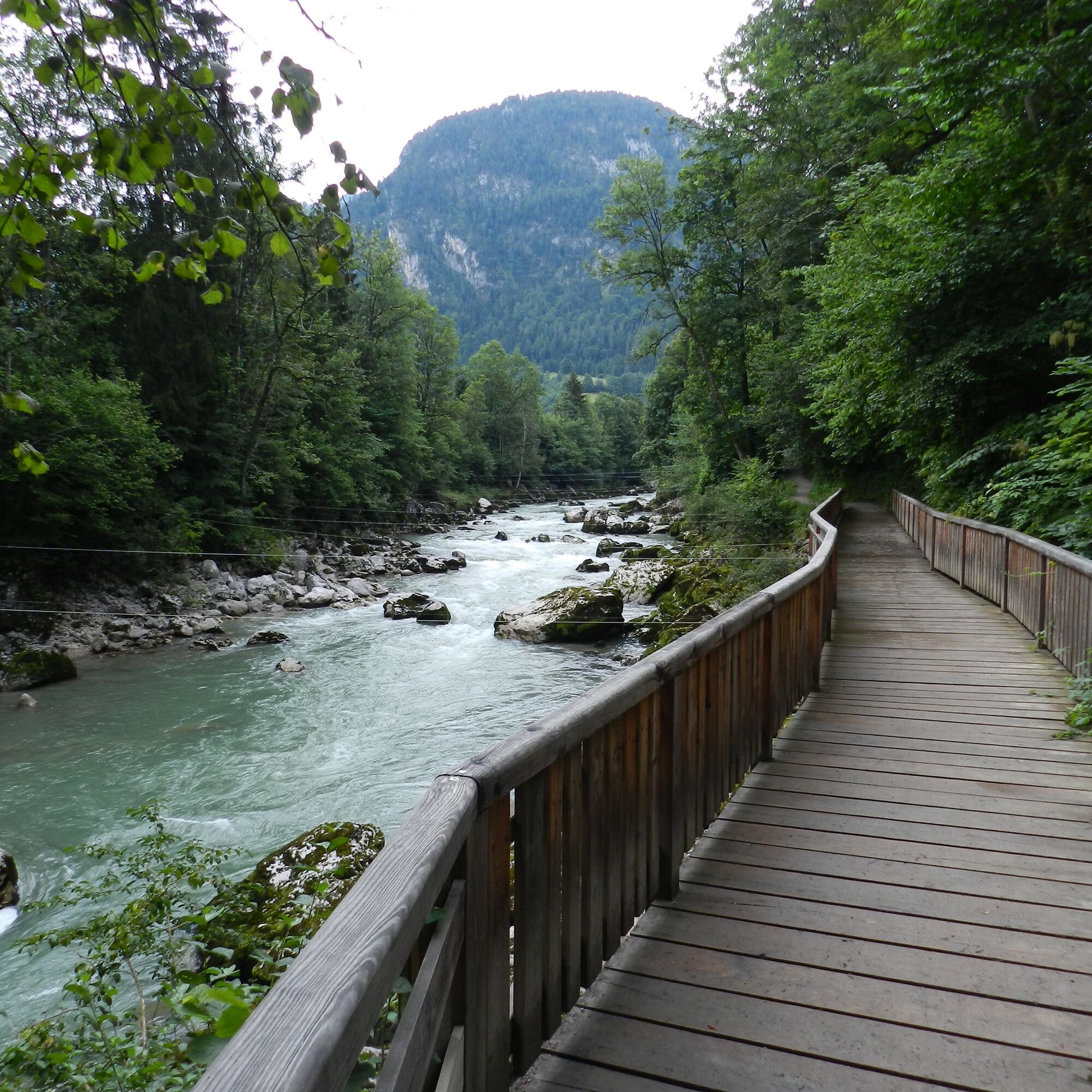

The WM route leads from the Hubertussteg downstream for about 500 metres to the finish at the "Kanuhaus" at the Teufelssteg.
Canoe/kayak equipment
The current water levels can be found HERE
4
Get off at the finish bend or at the Teufelssteg.
Uzyskaj wgląd
Zawsze na żywo z ponad 9 500 kamer internetowych. bergfex Jako użytkownik Pro, możesz teraz zobaczyć odpowiednie kamery internetowe dla wielu wycieczek w aplikacji wycieczki od. Pozwala to na bezpośredni podgląd aktualnych warunków.
Popularne wycieczki w okolicy
-
4,3
Erpfendorf: Griesbachklamm
średniWędrówka 10 km -
4,3
Halsalm
Wędrówka 6,43 km -
4,7
Over the waterfall trail into the Almenwelt Lofer
średniWędrówka 3,29 km -
4,6
Seisenberg Gorge
światłoWędrówka 2,41 km -
4,9
Ramsau/Hintersee-Runde
światłoWędrówka 9,44 km -
4,8
Loferer Steinberge, zum Hinterhorn über die Schmid-Zabierow Hütte, 19.06.22
ciężkiWędrówka 14,0 km -
4,8
Atemberaubende Aussicht auf dem Dürrnbachhorn
średniWędrówka 8,44 km -
4,2
Passauer Hütte
ciężkiWędrówka 4,14 km -
3,5
Blaueis - Schärtenspitze
Wędrówka 7,29 km -
4,6
Birnbachloch Leogang, Österreich
średniWędrówka 5,18 km

Wędrówki i tropienie


Nie przegap ofert i inspiracji na następne wakacje
Twój adres e-mail została dodana do listy mailingowej.





