







Around the Bischofsmütze "Stage 1"
Poziom trudności: T2
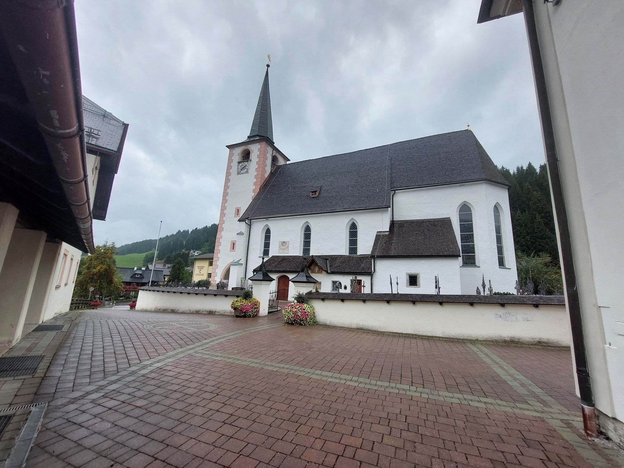
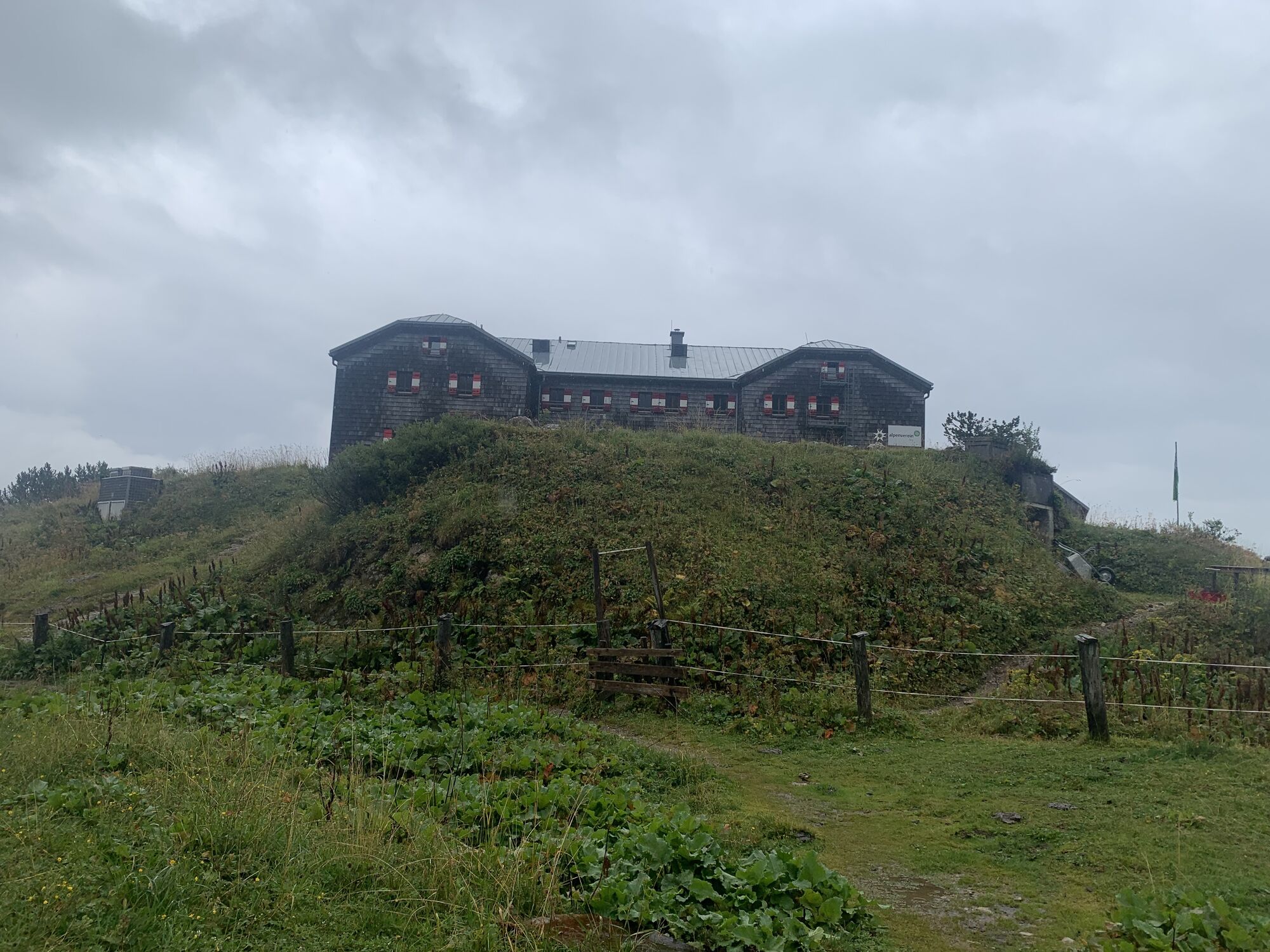
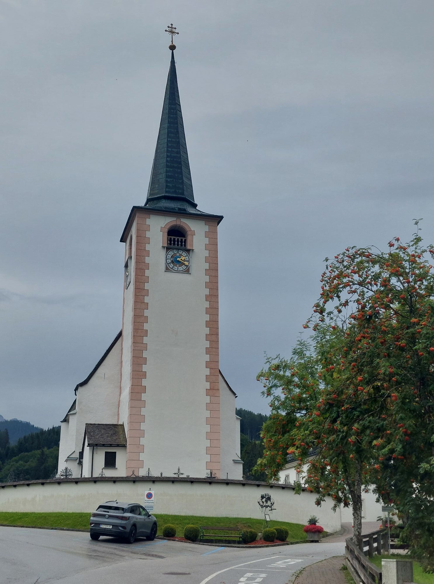
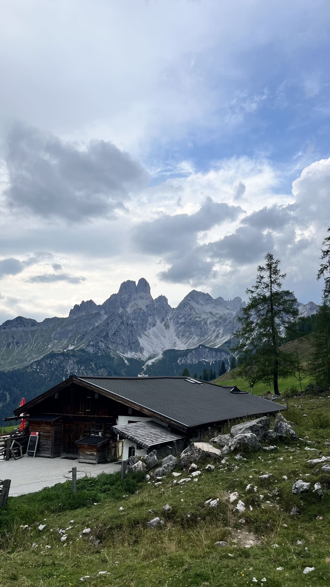
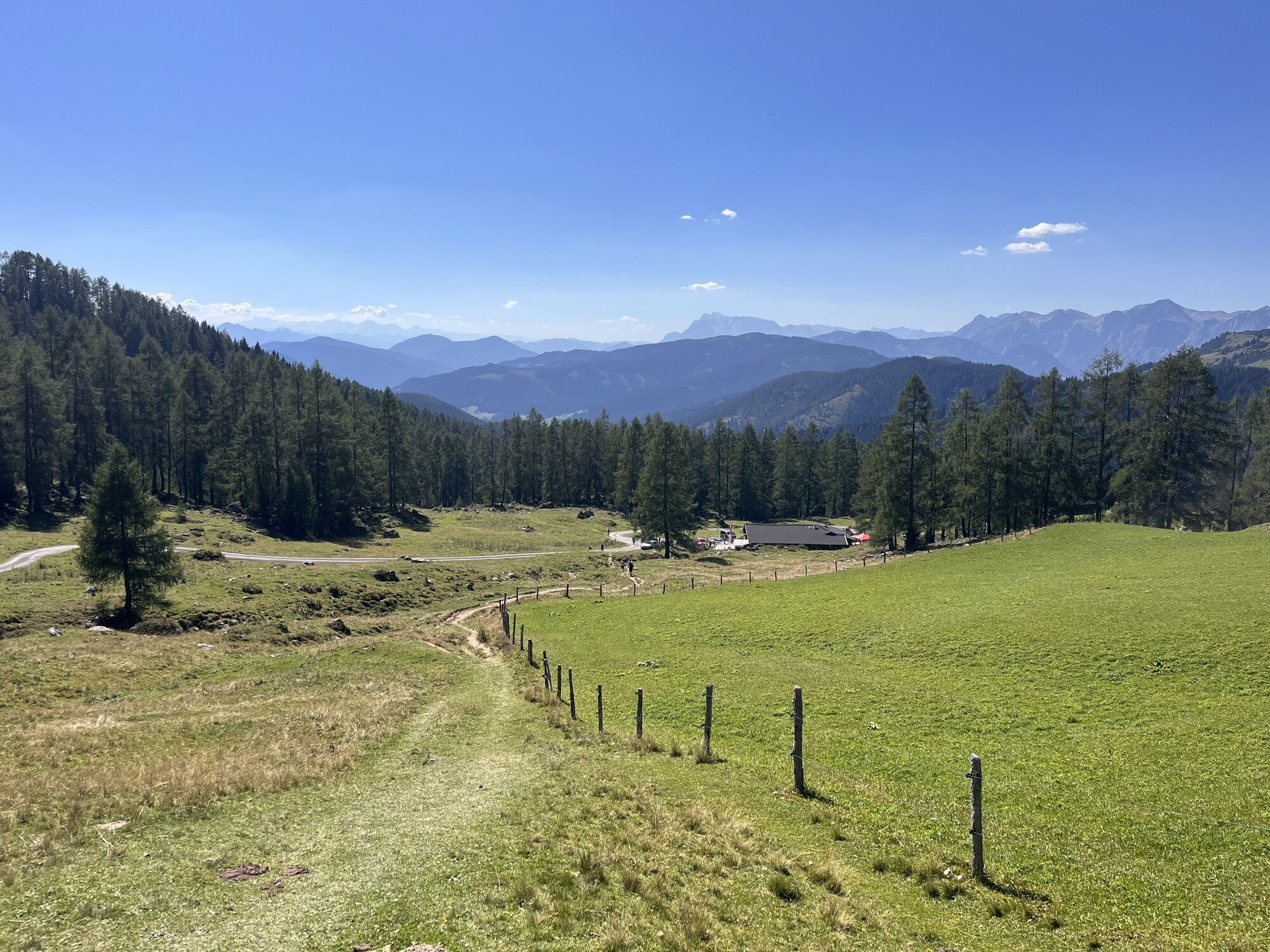
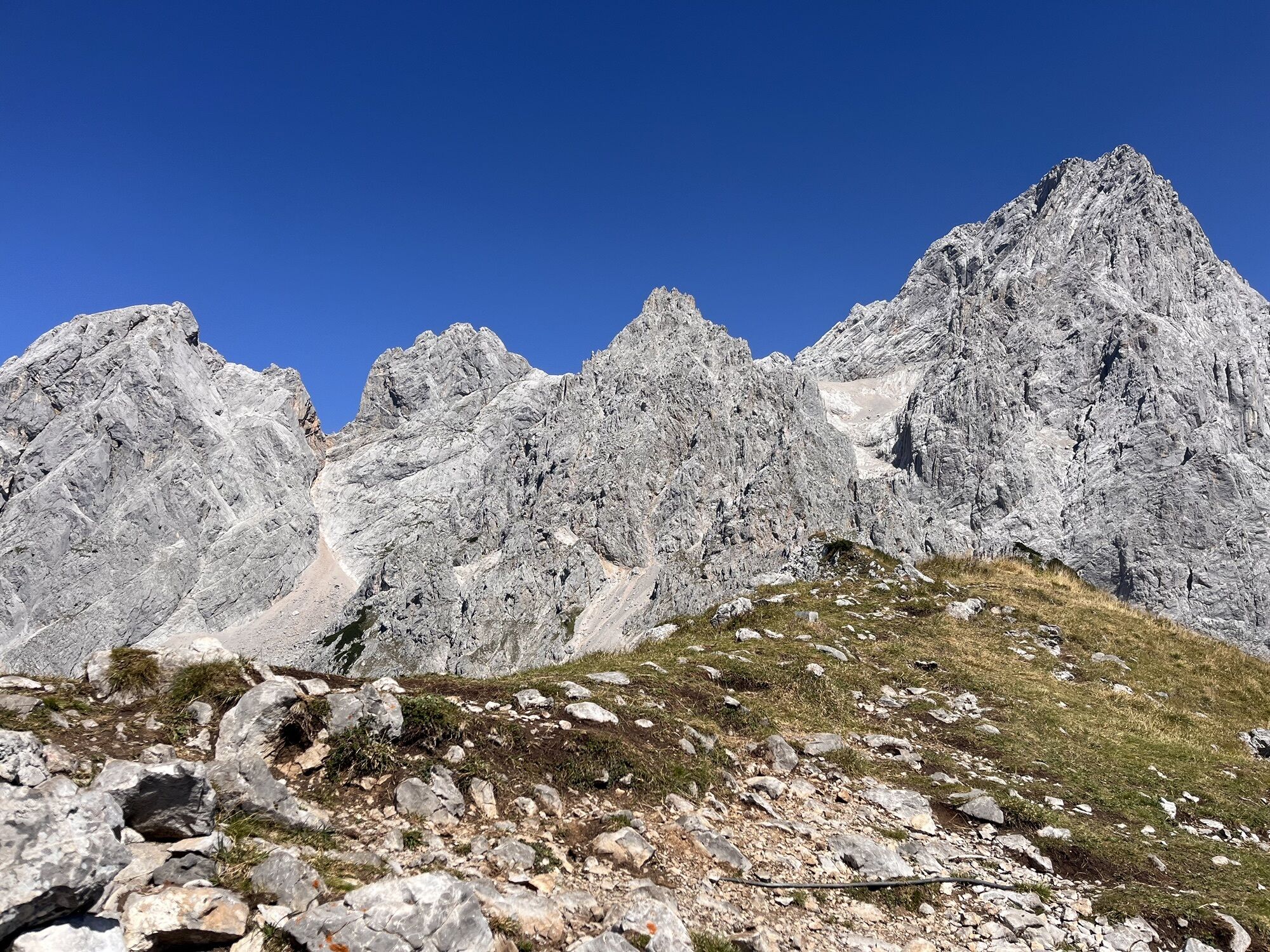
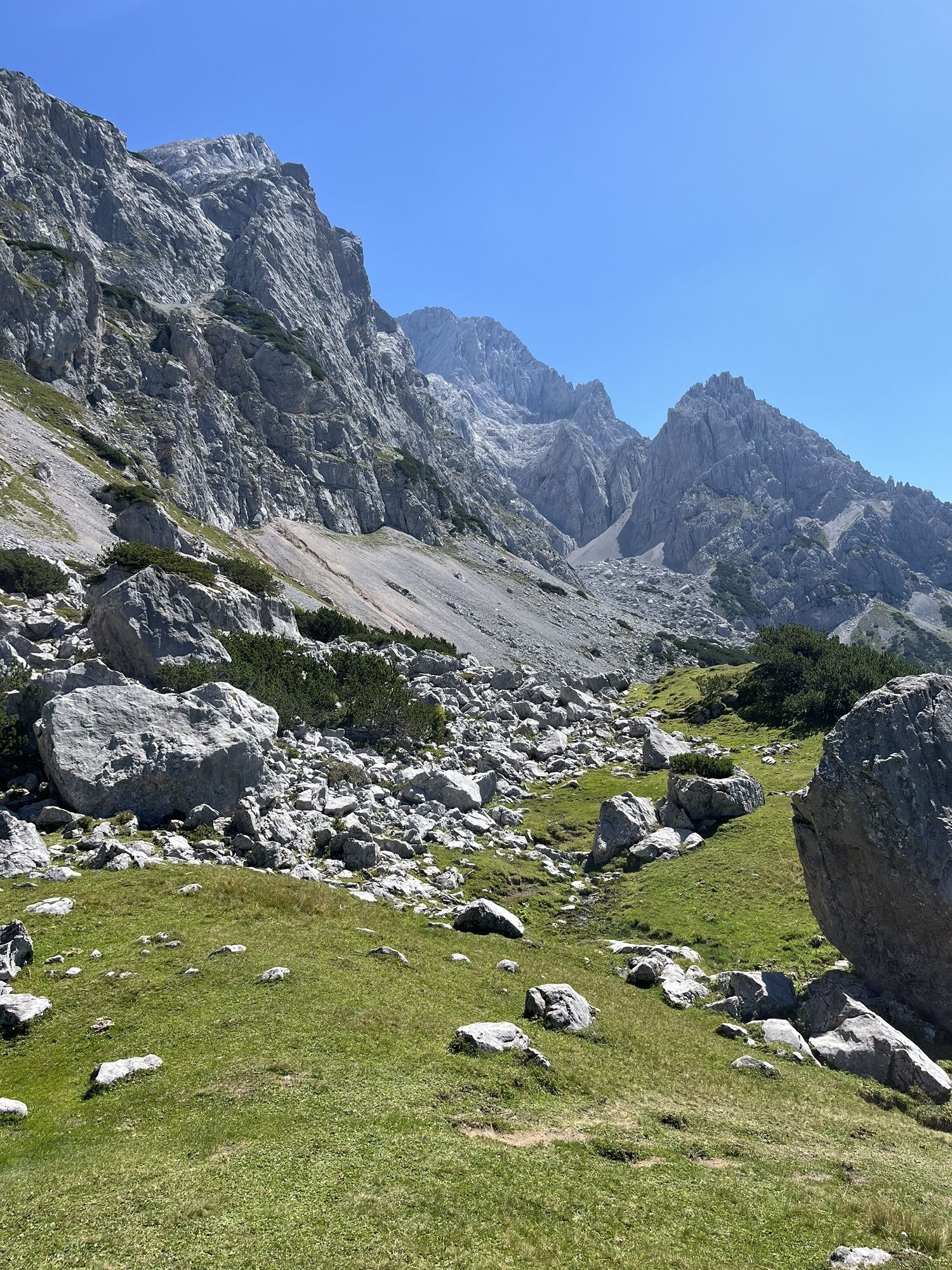
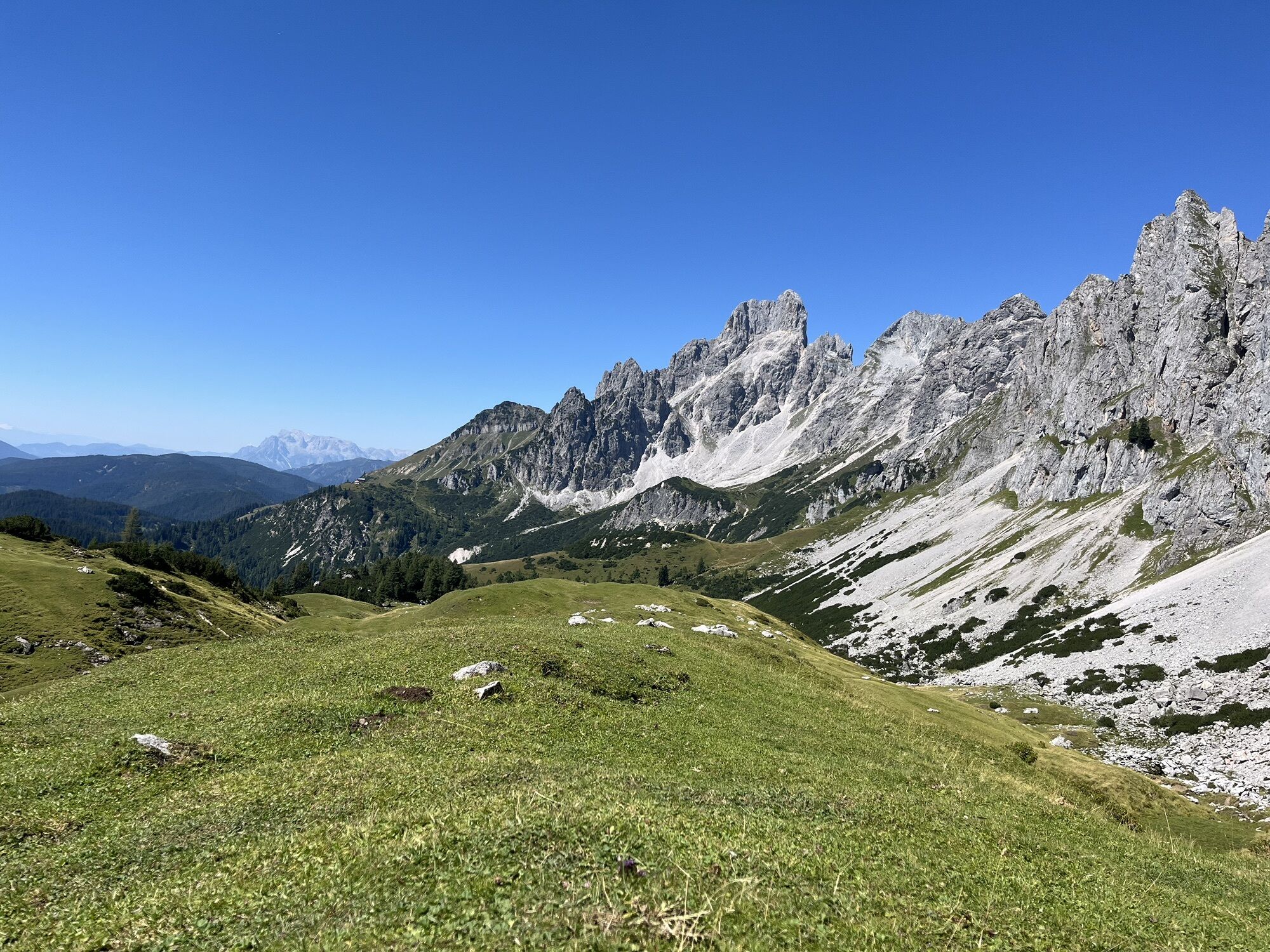
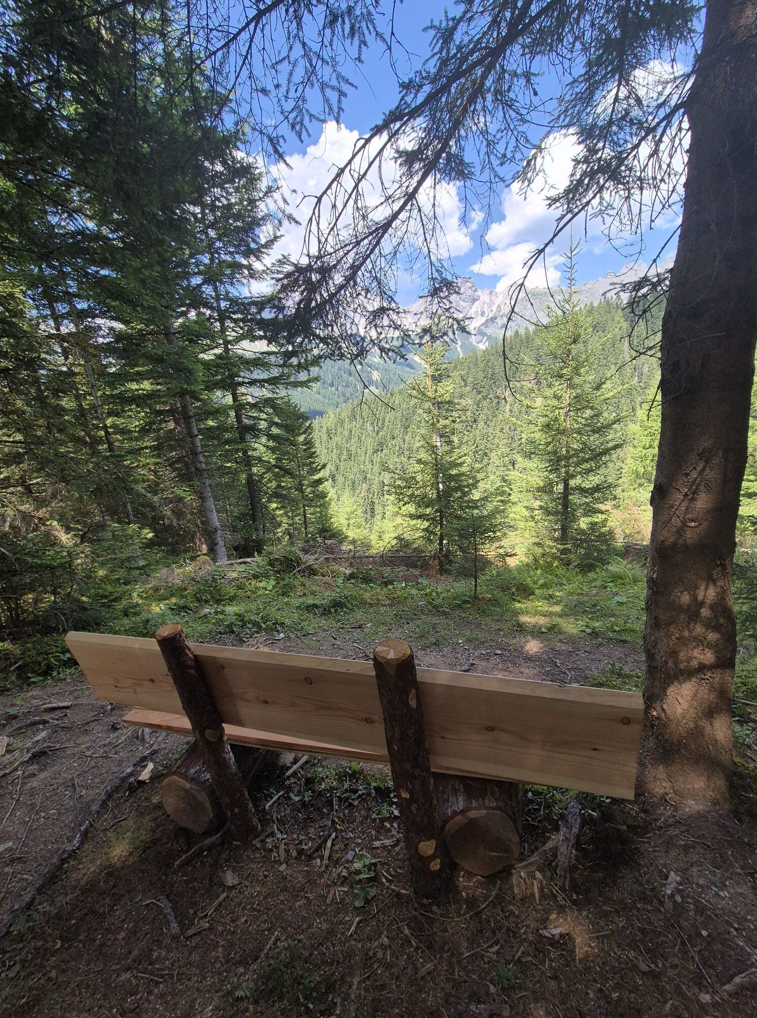
The first stage begins at the Experience Portal Filzmoos, where parking is available opposite the petrol station. From there, the trail heads through Hinterwinkl, passing the Hofalm toll station, before...
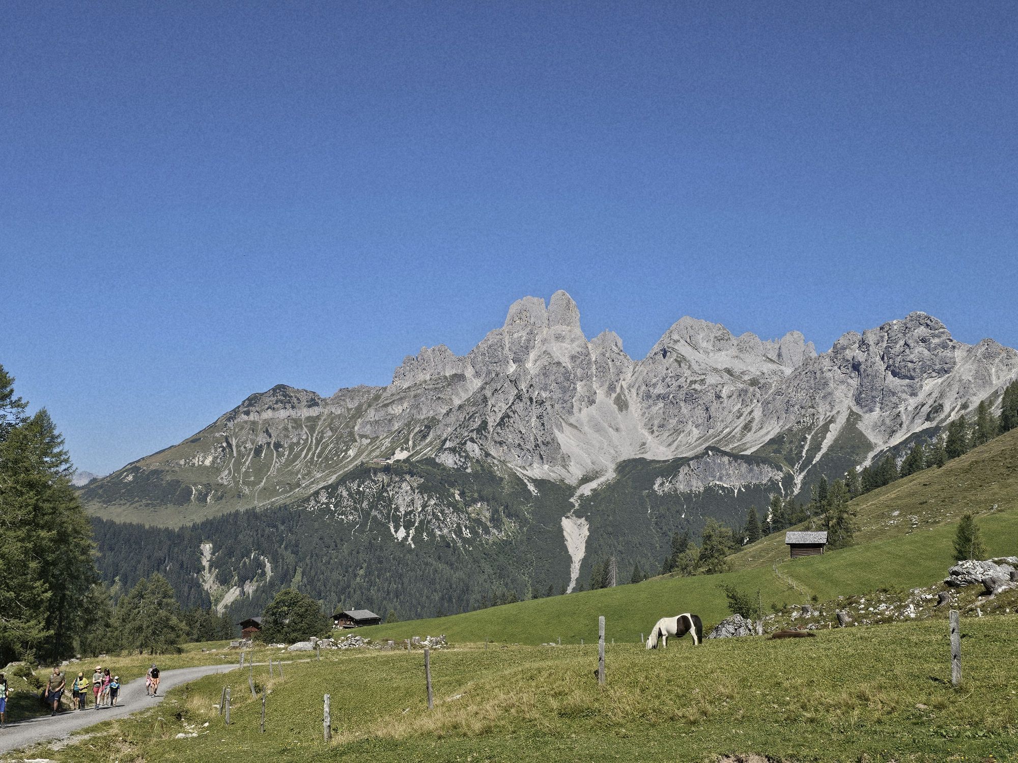
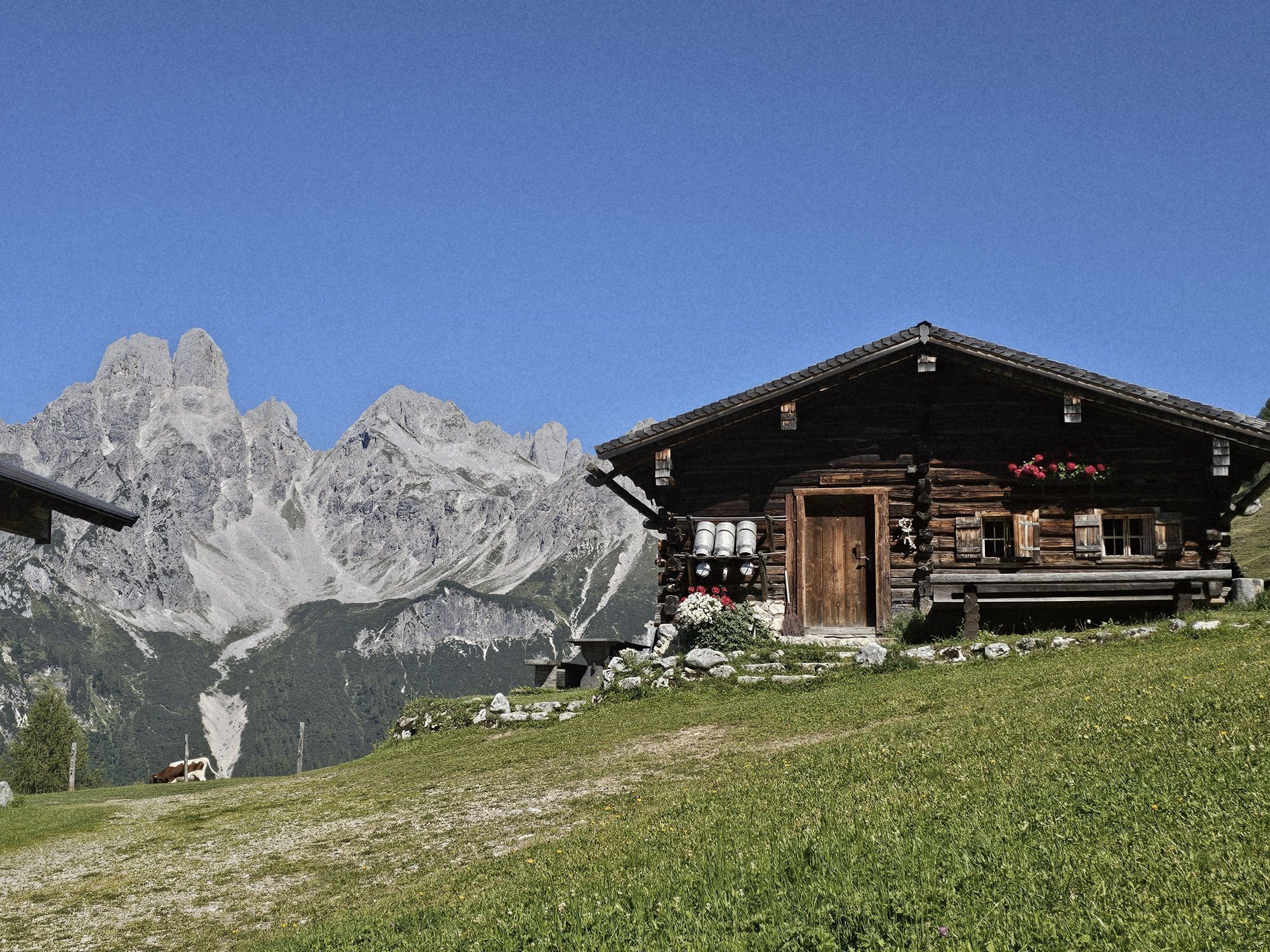
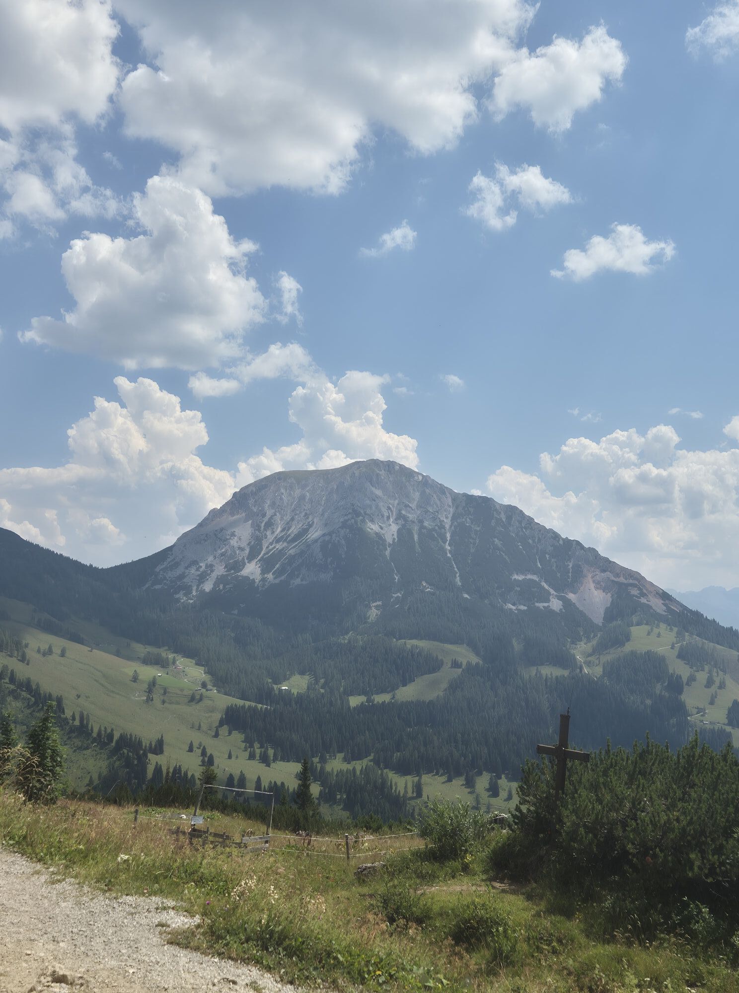
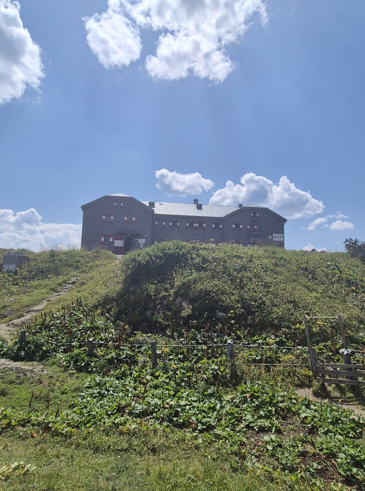
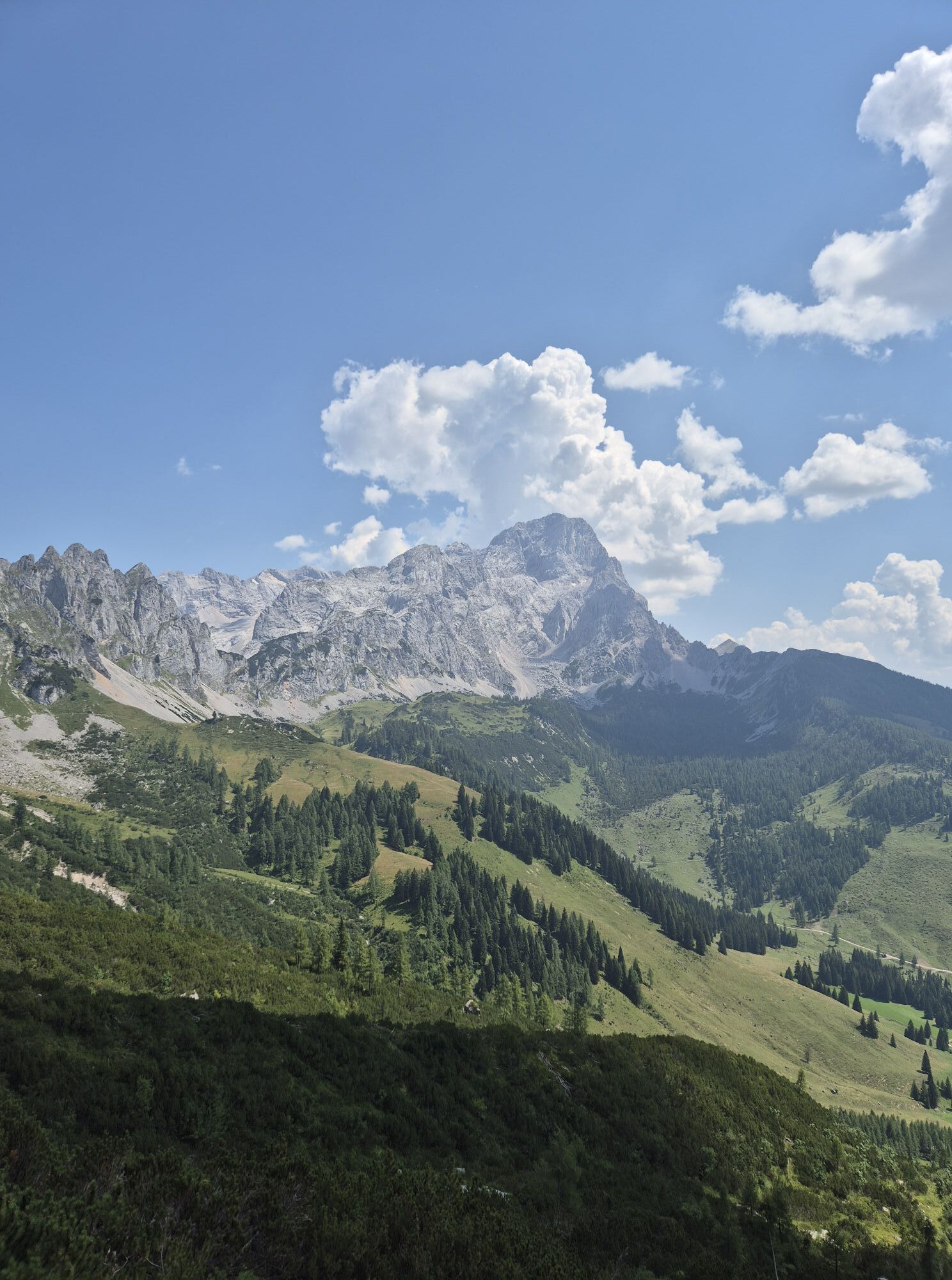
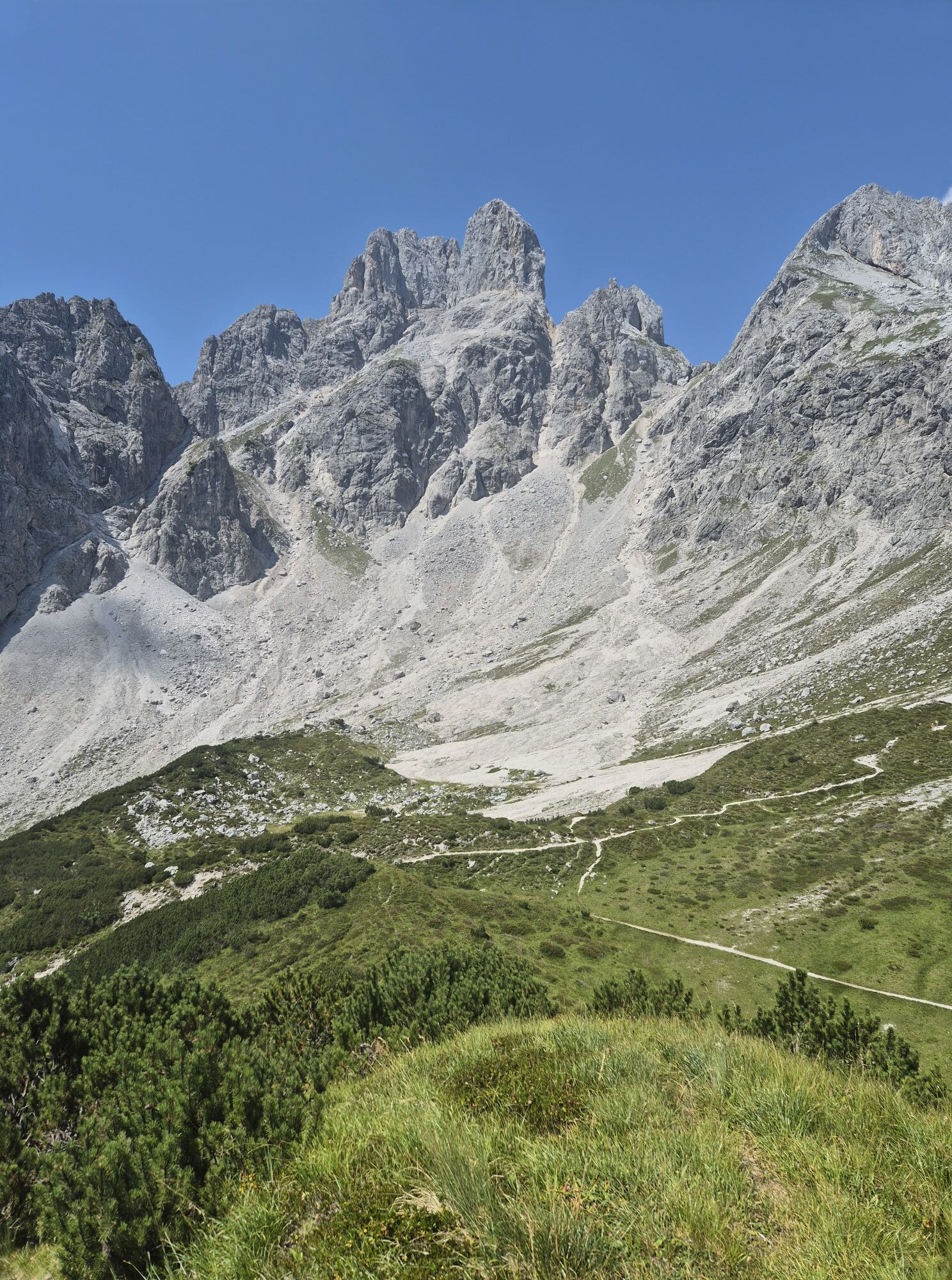
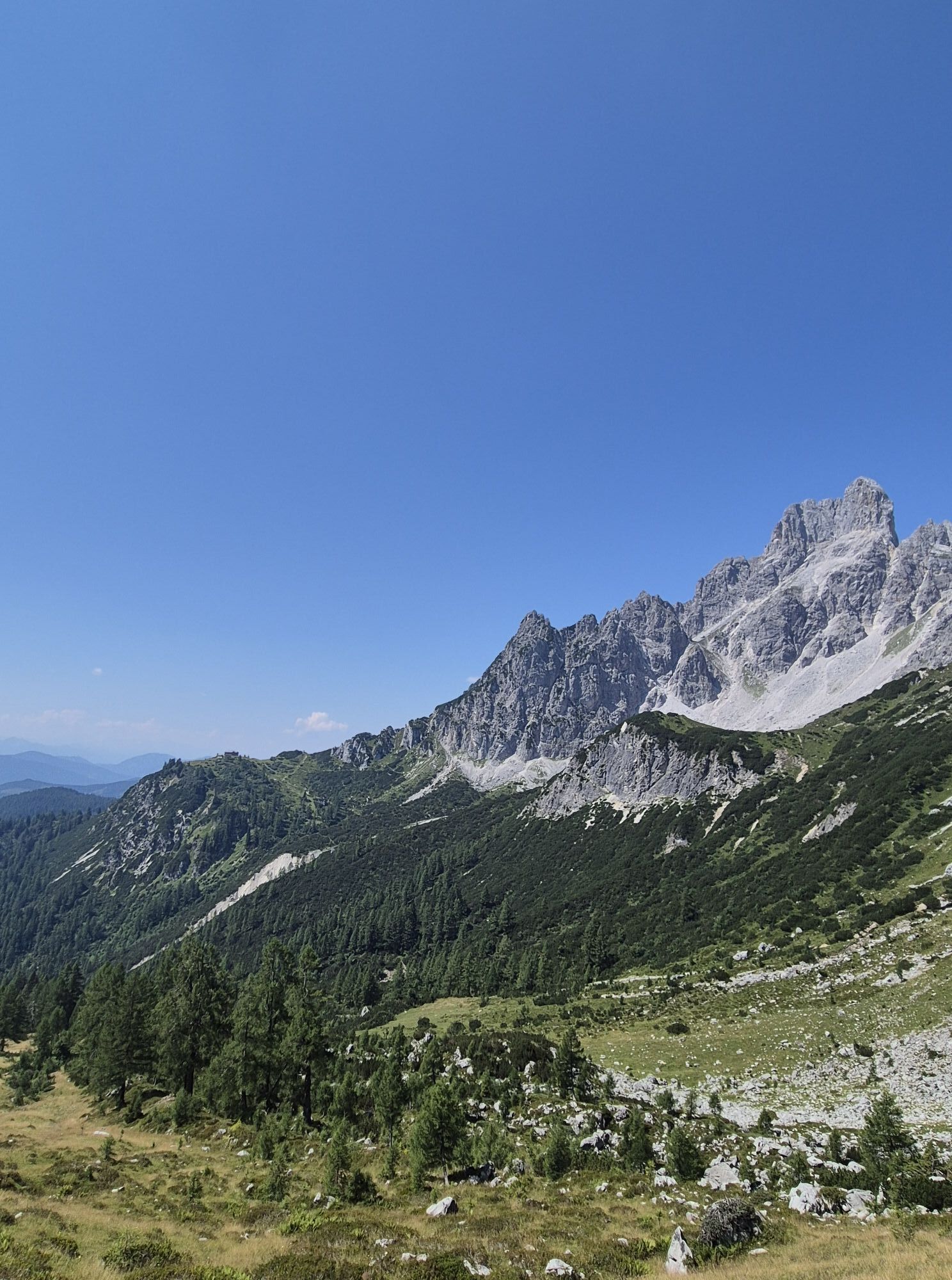
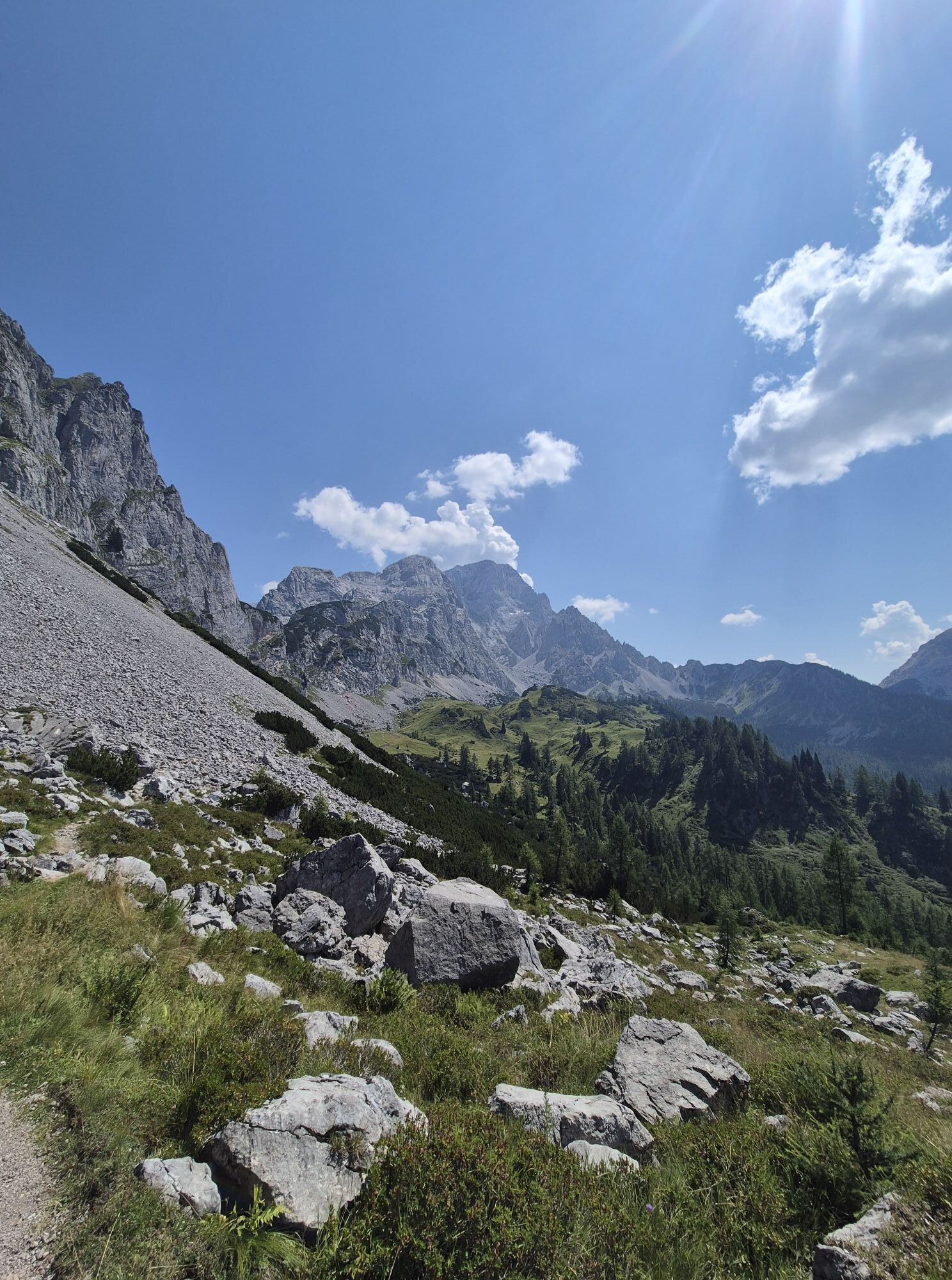
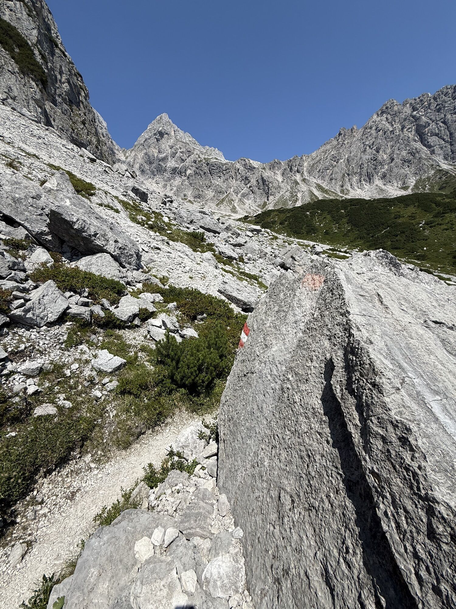
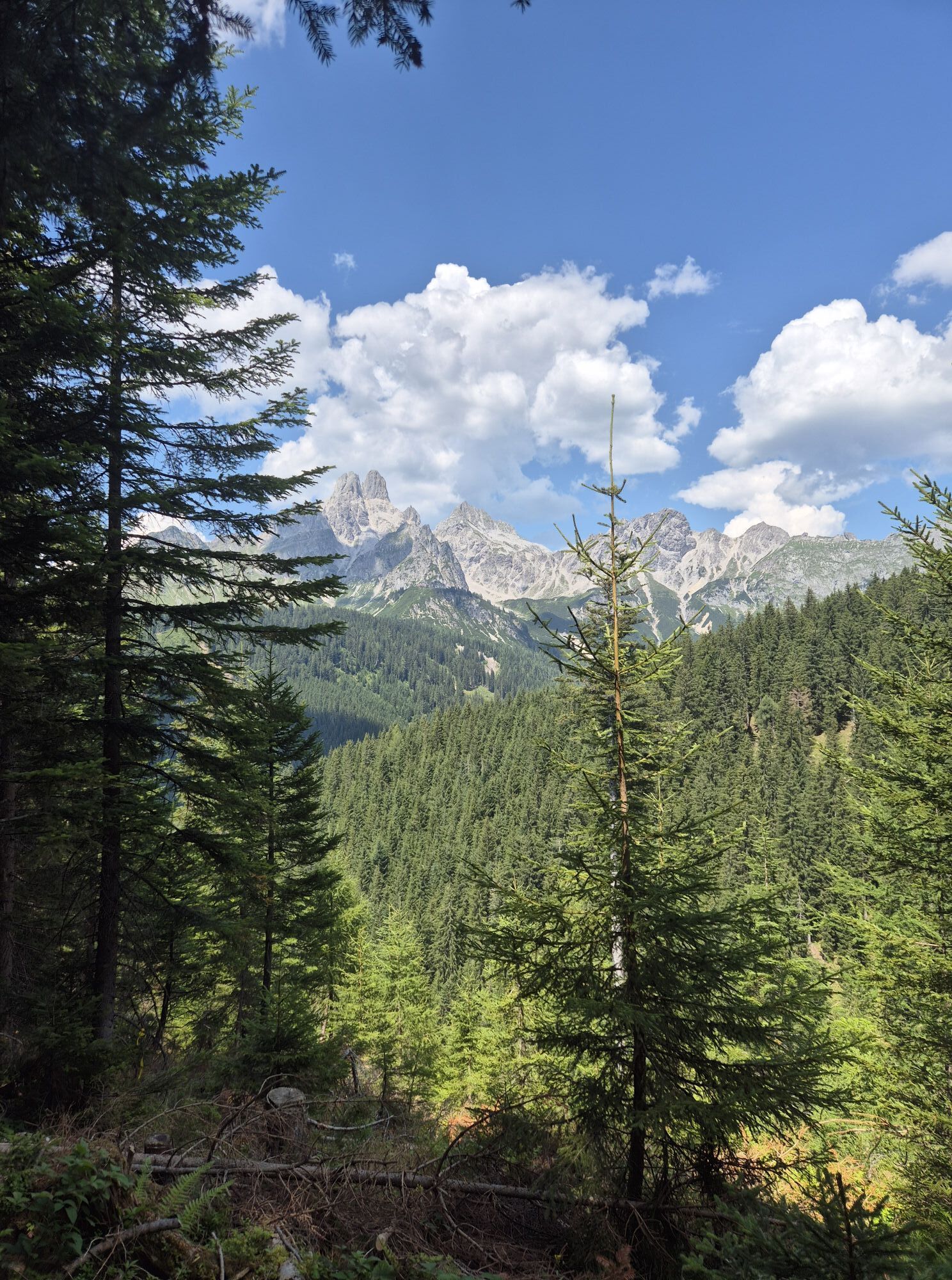
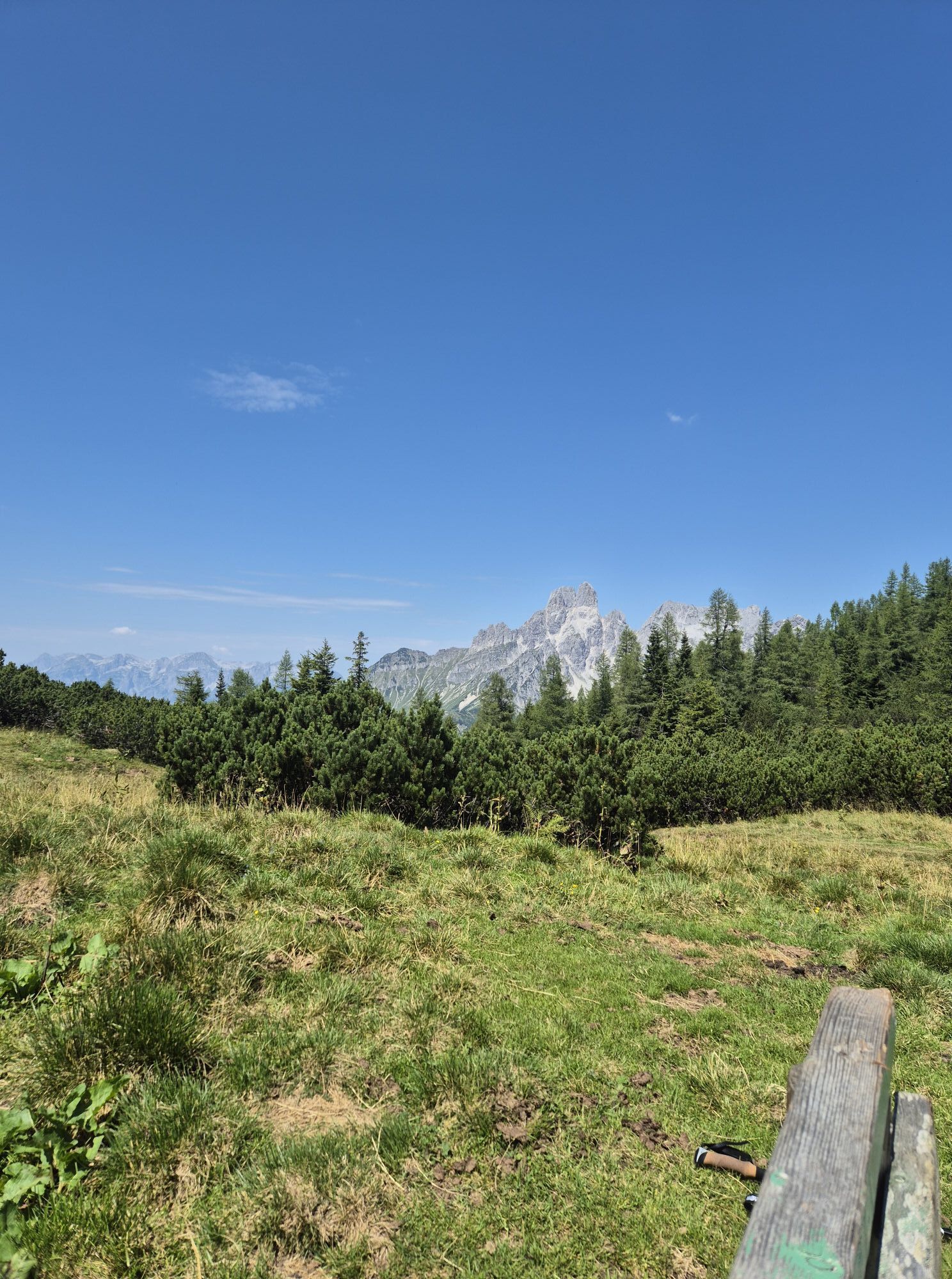
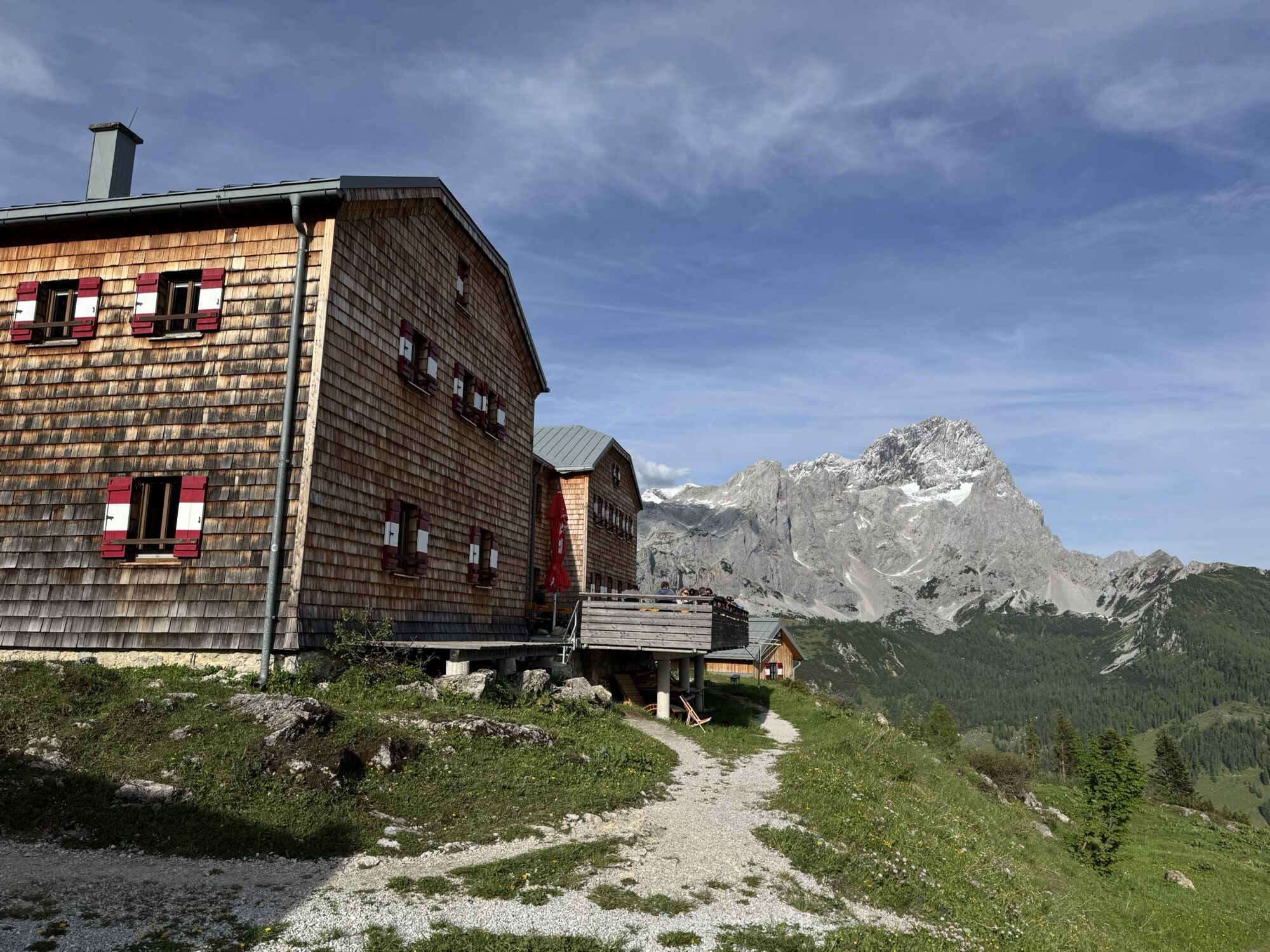
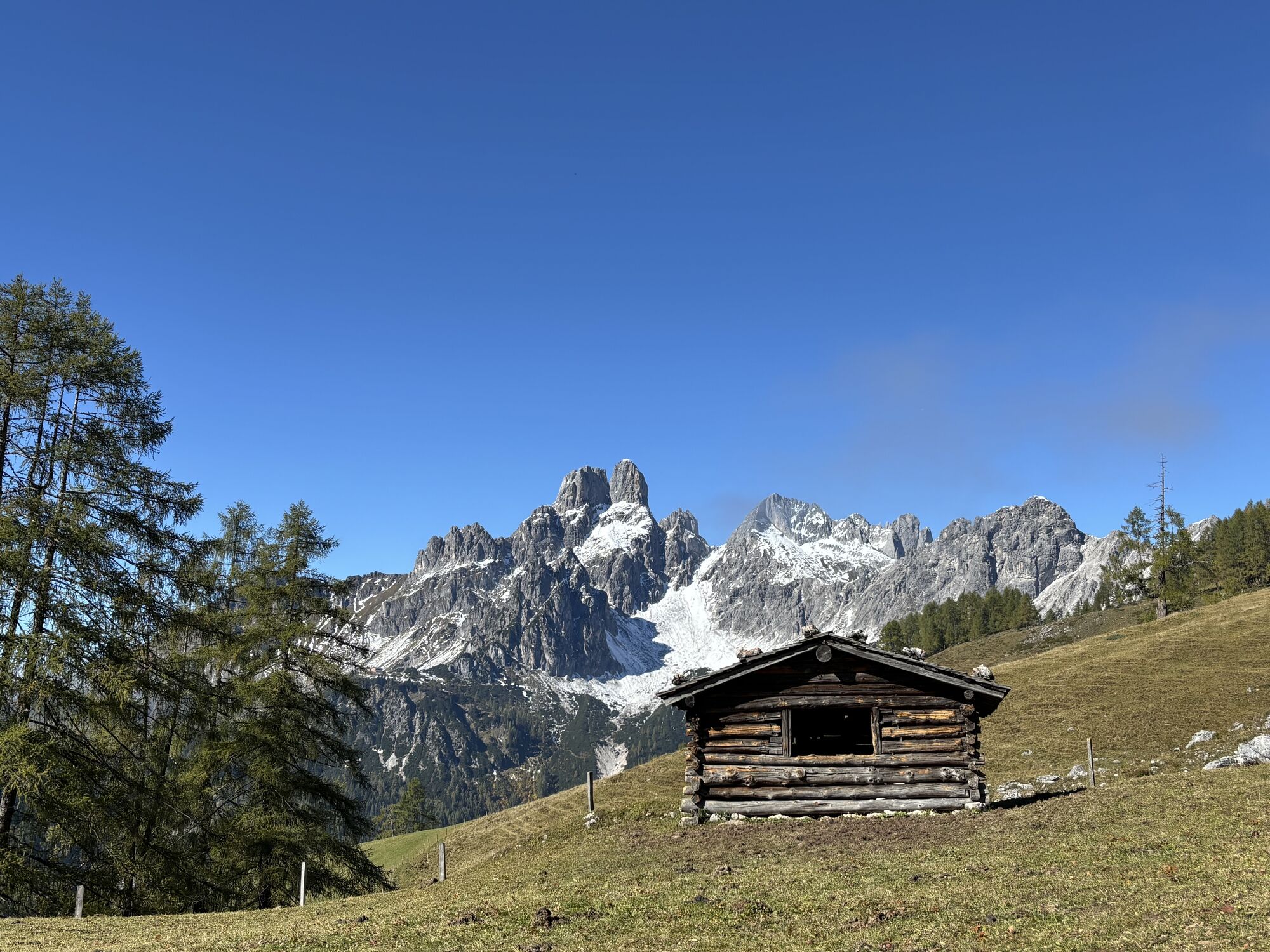
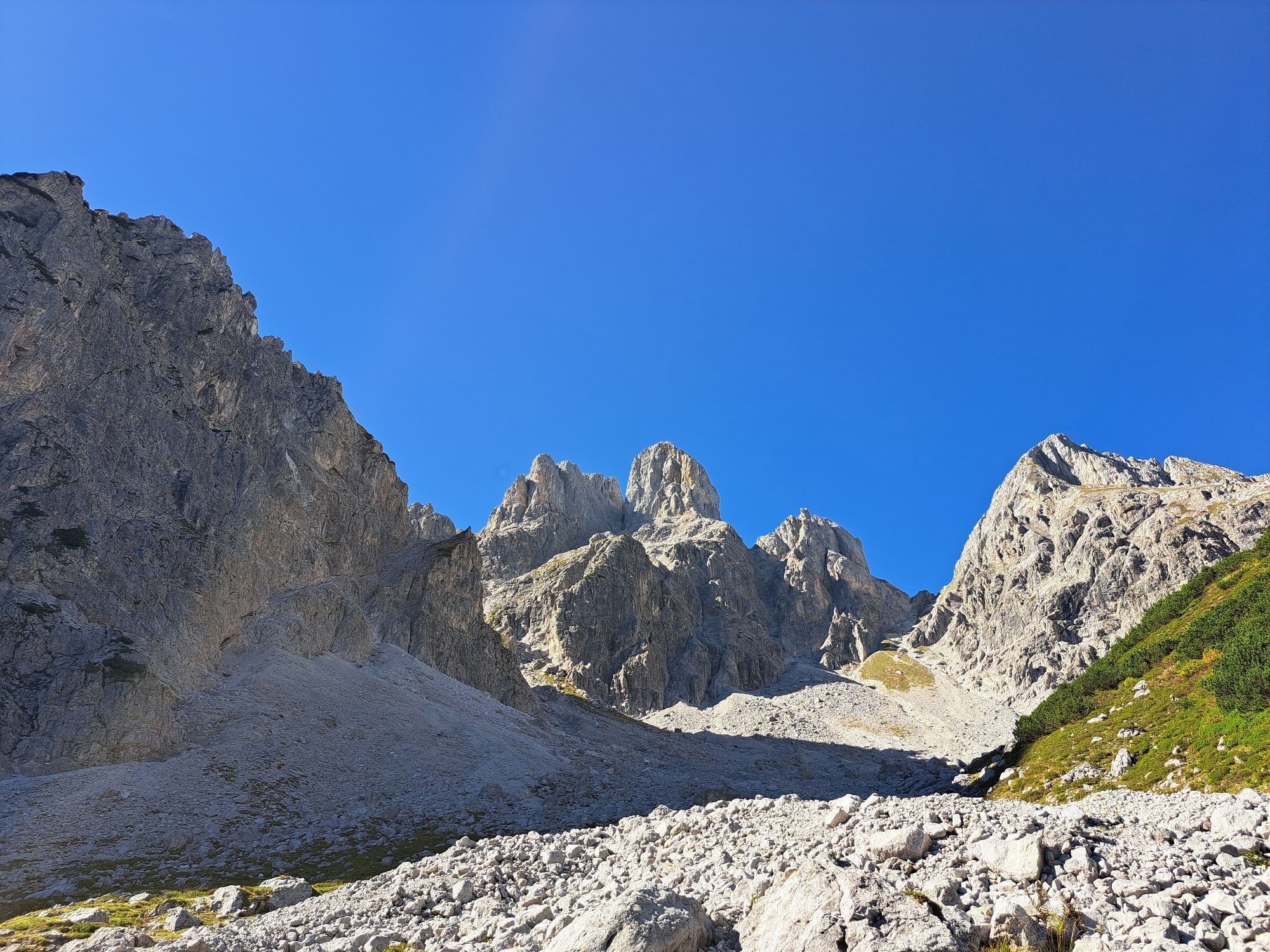
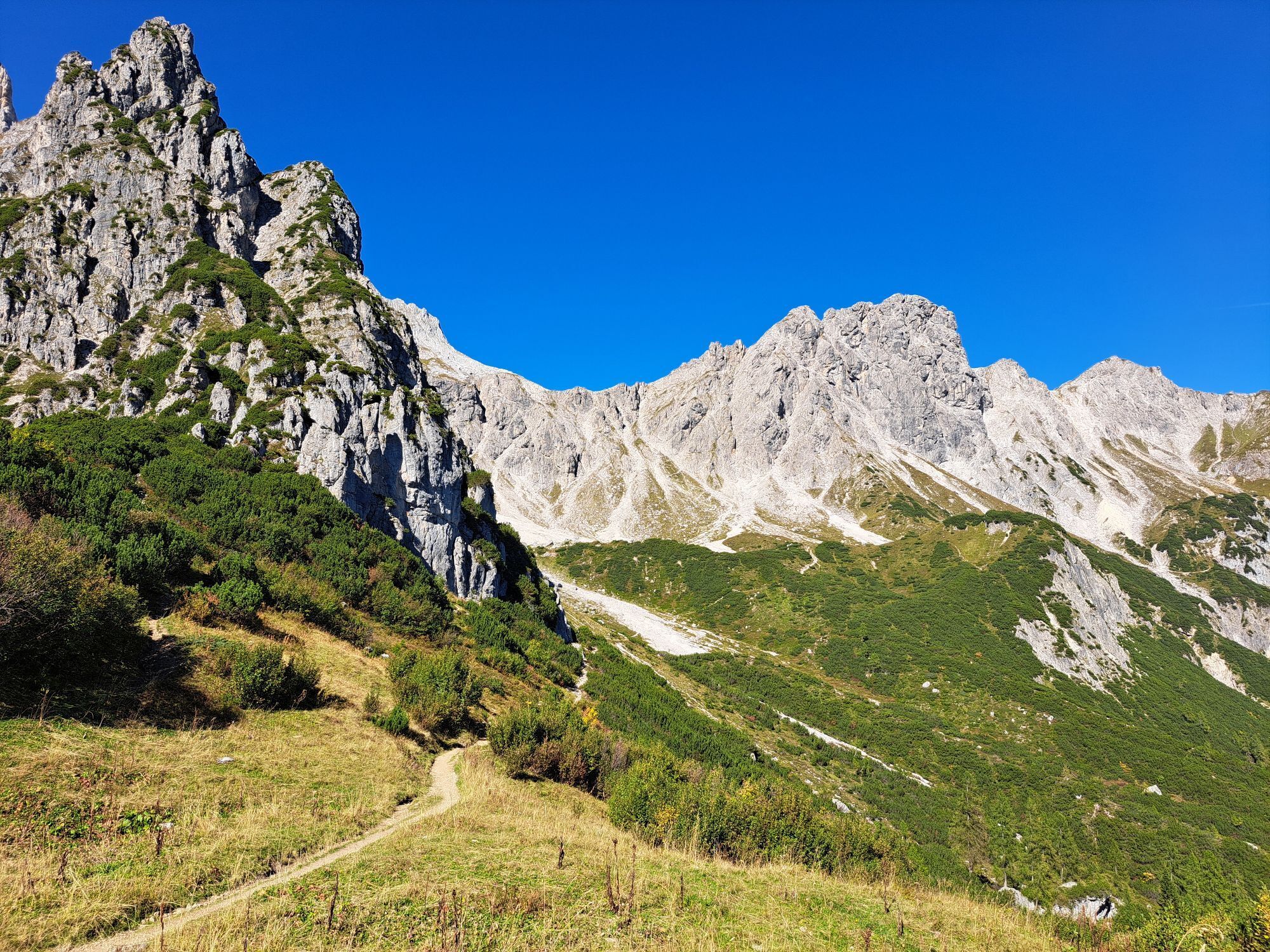
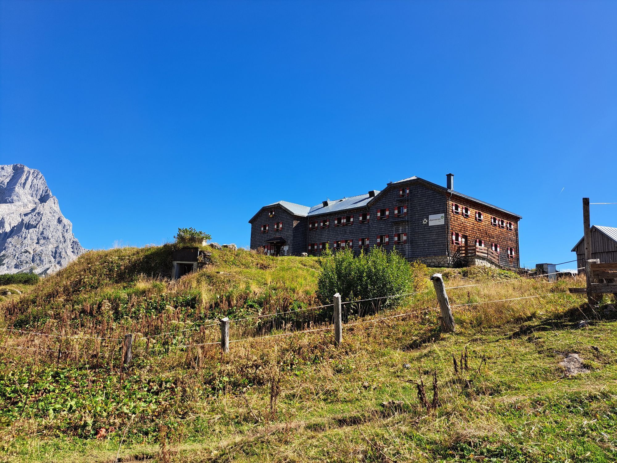
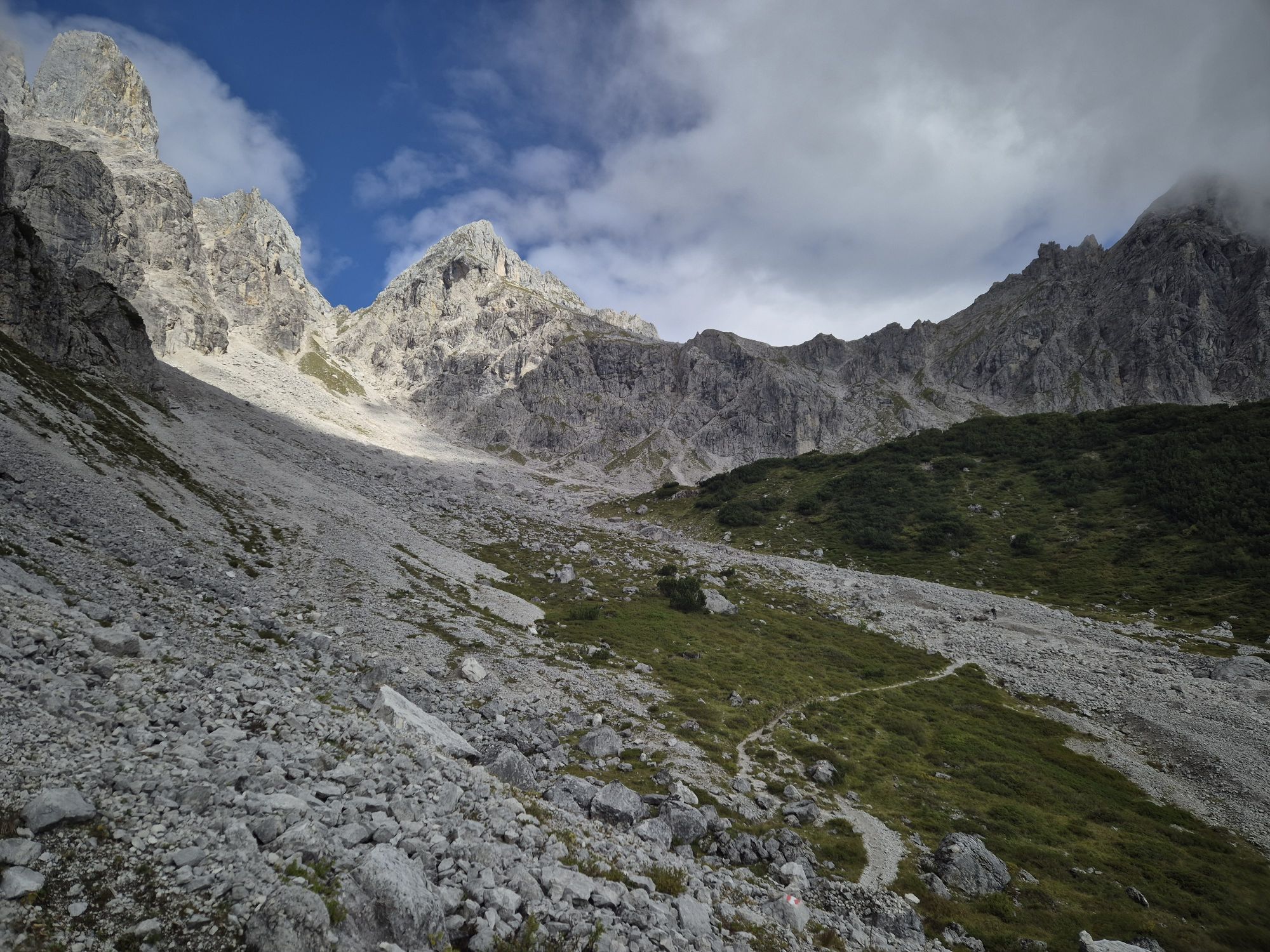
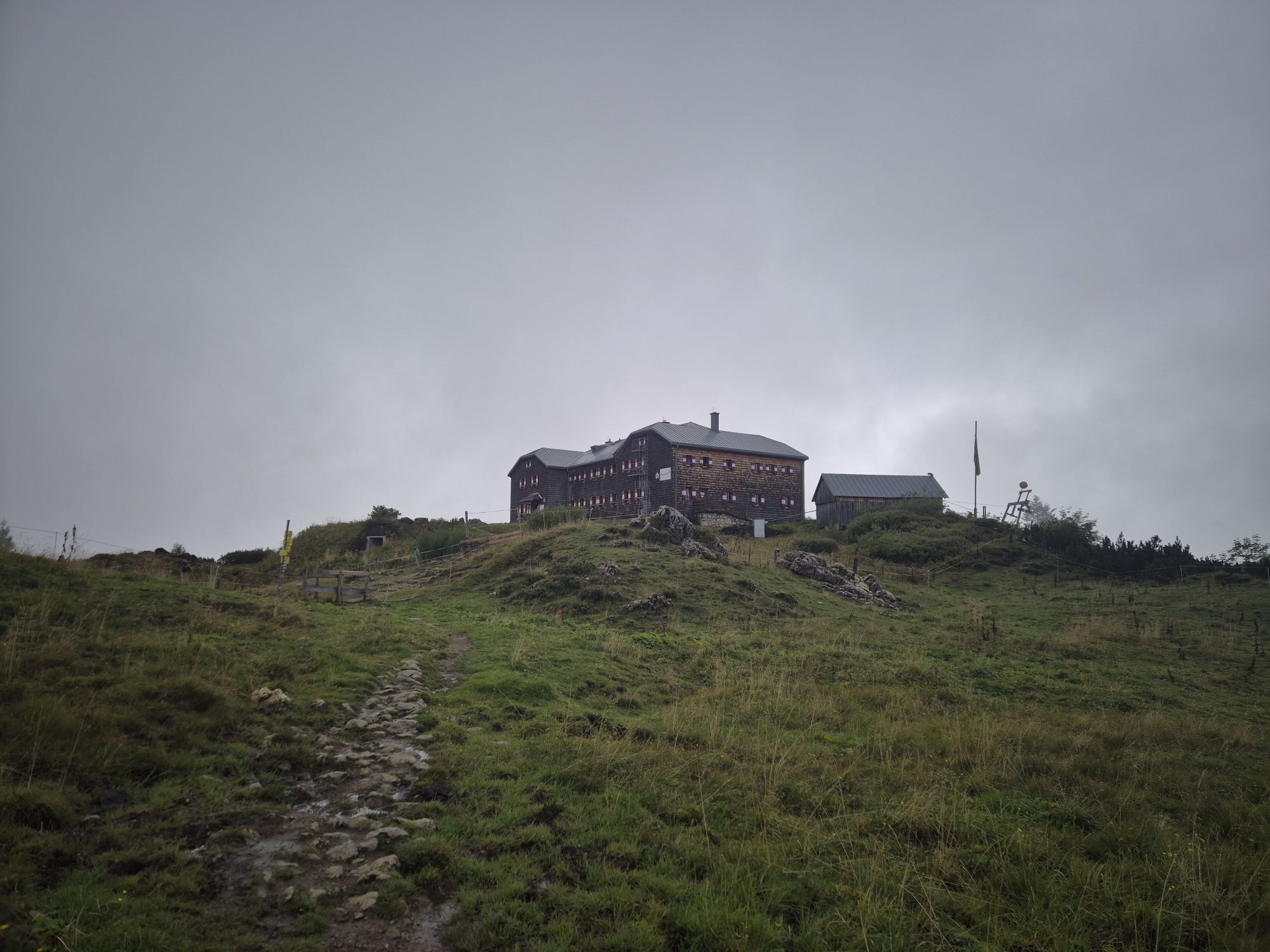
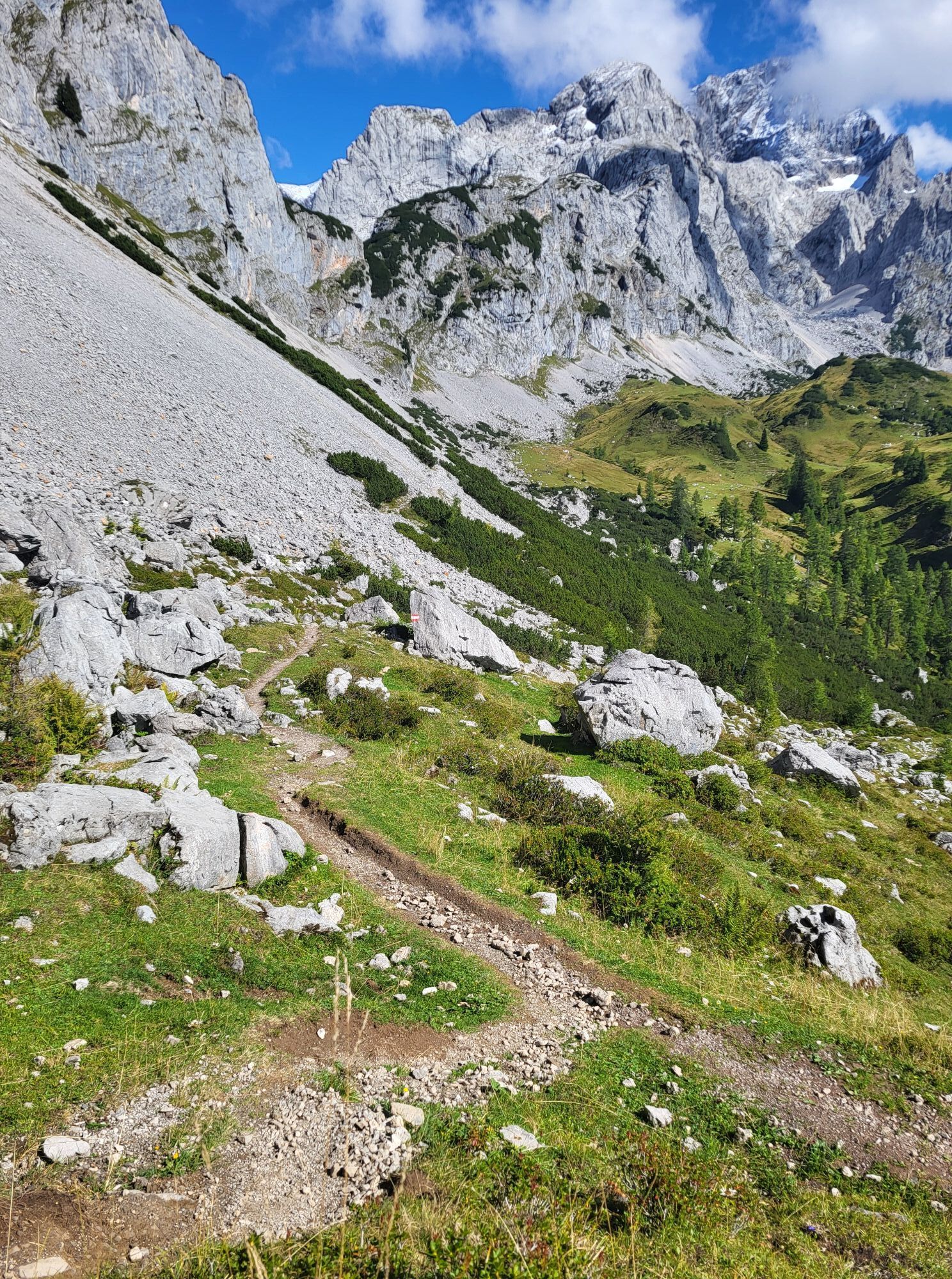
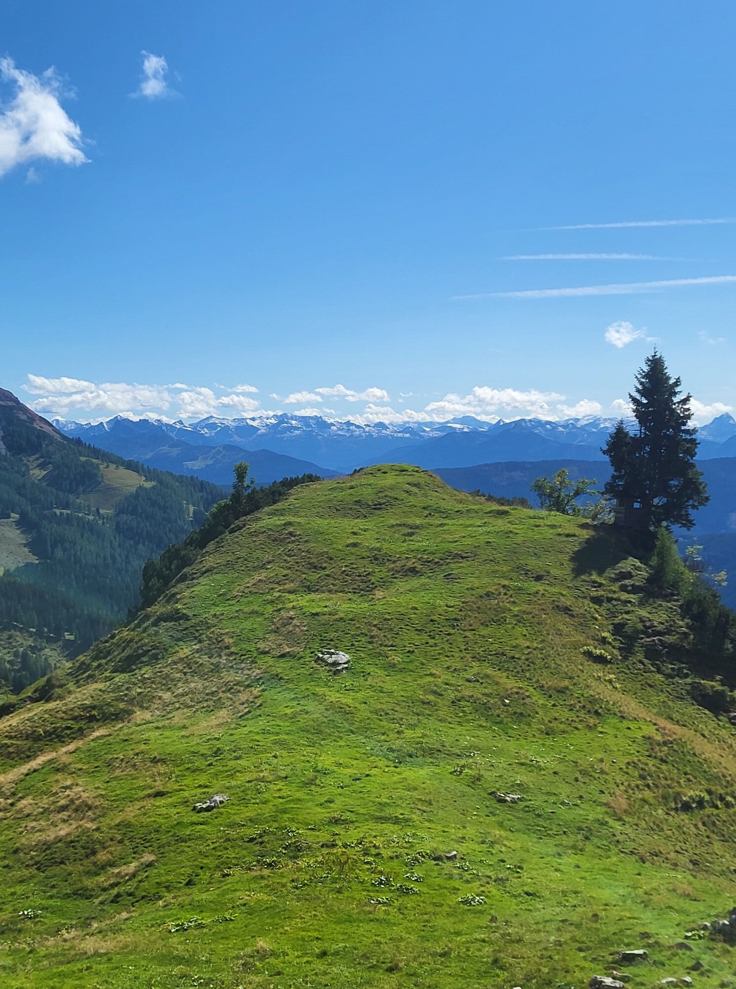
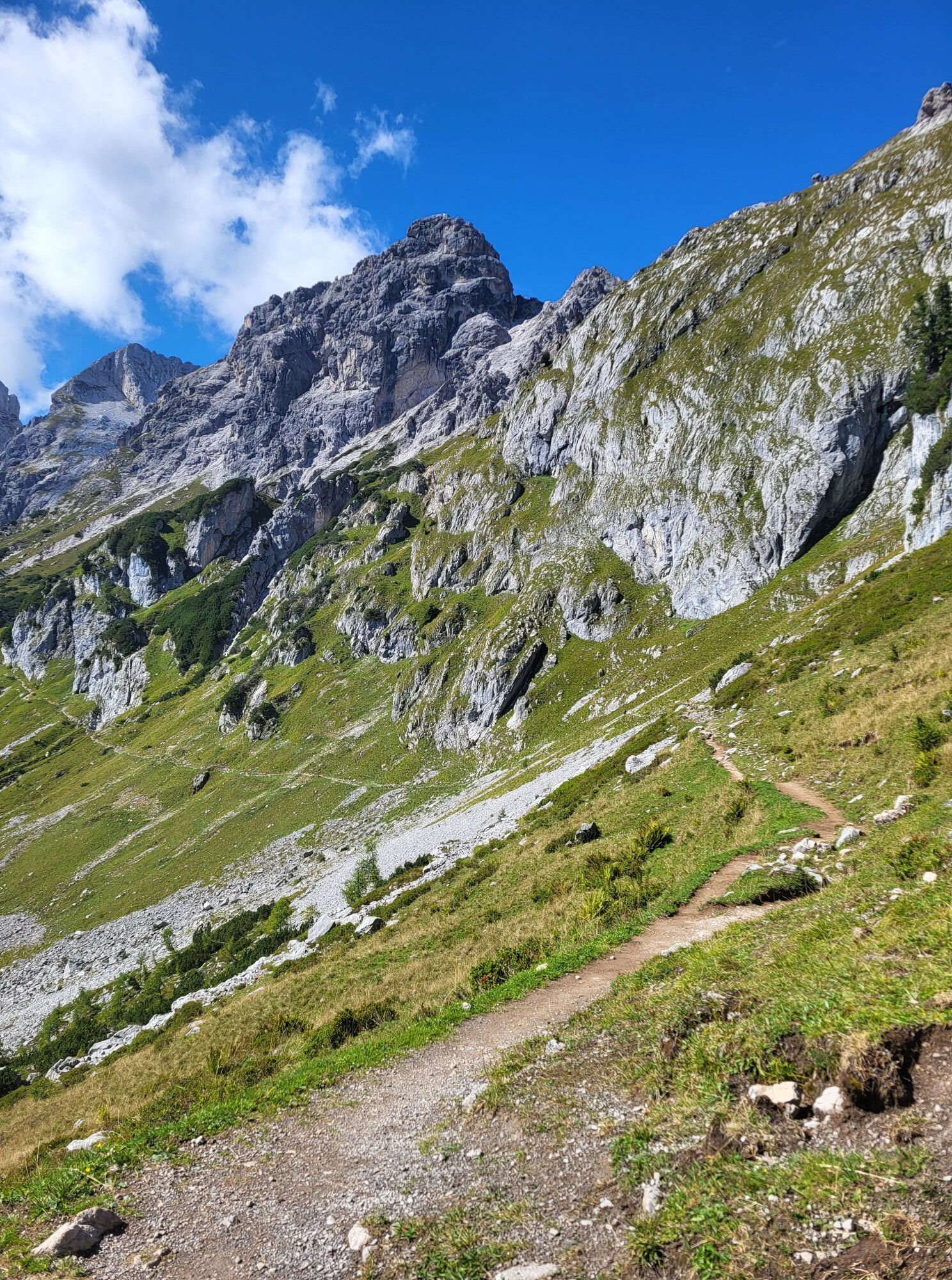
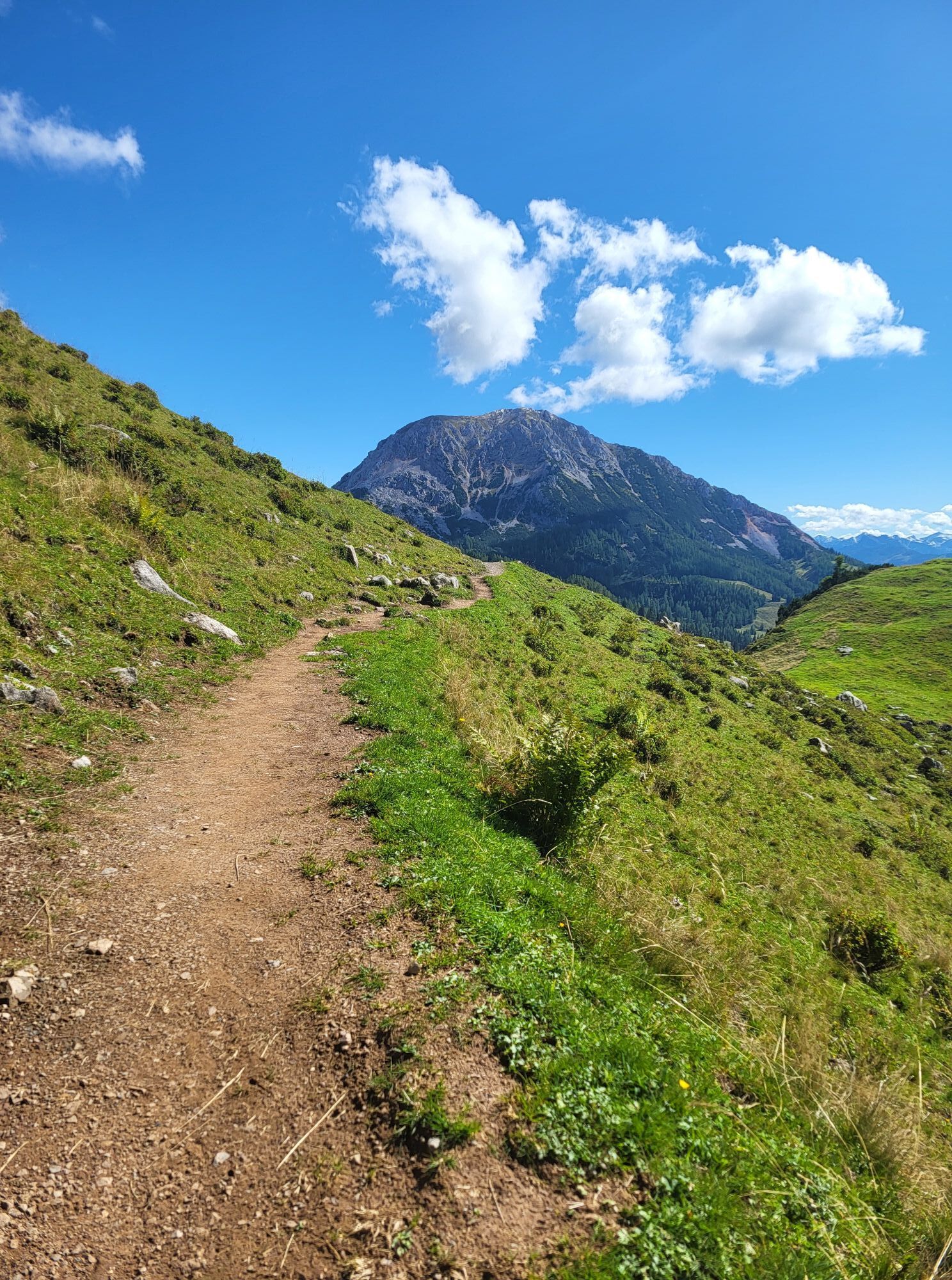
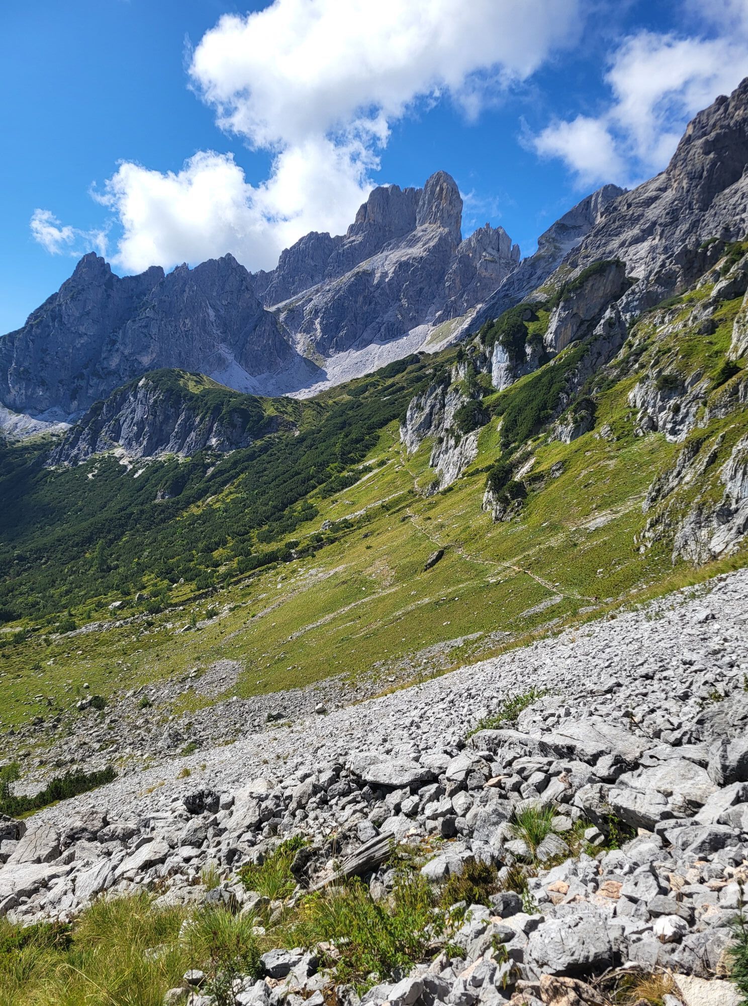
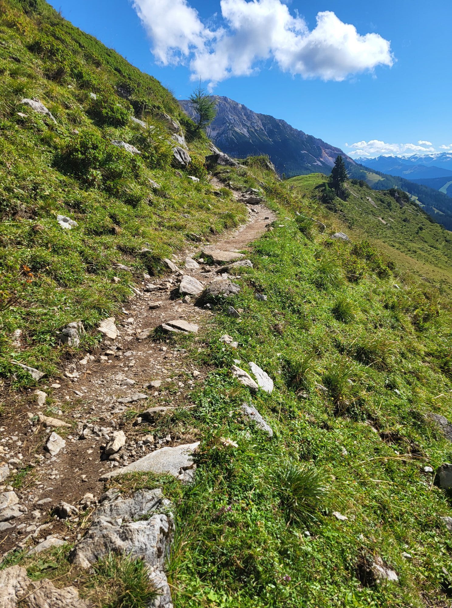
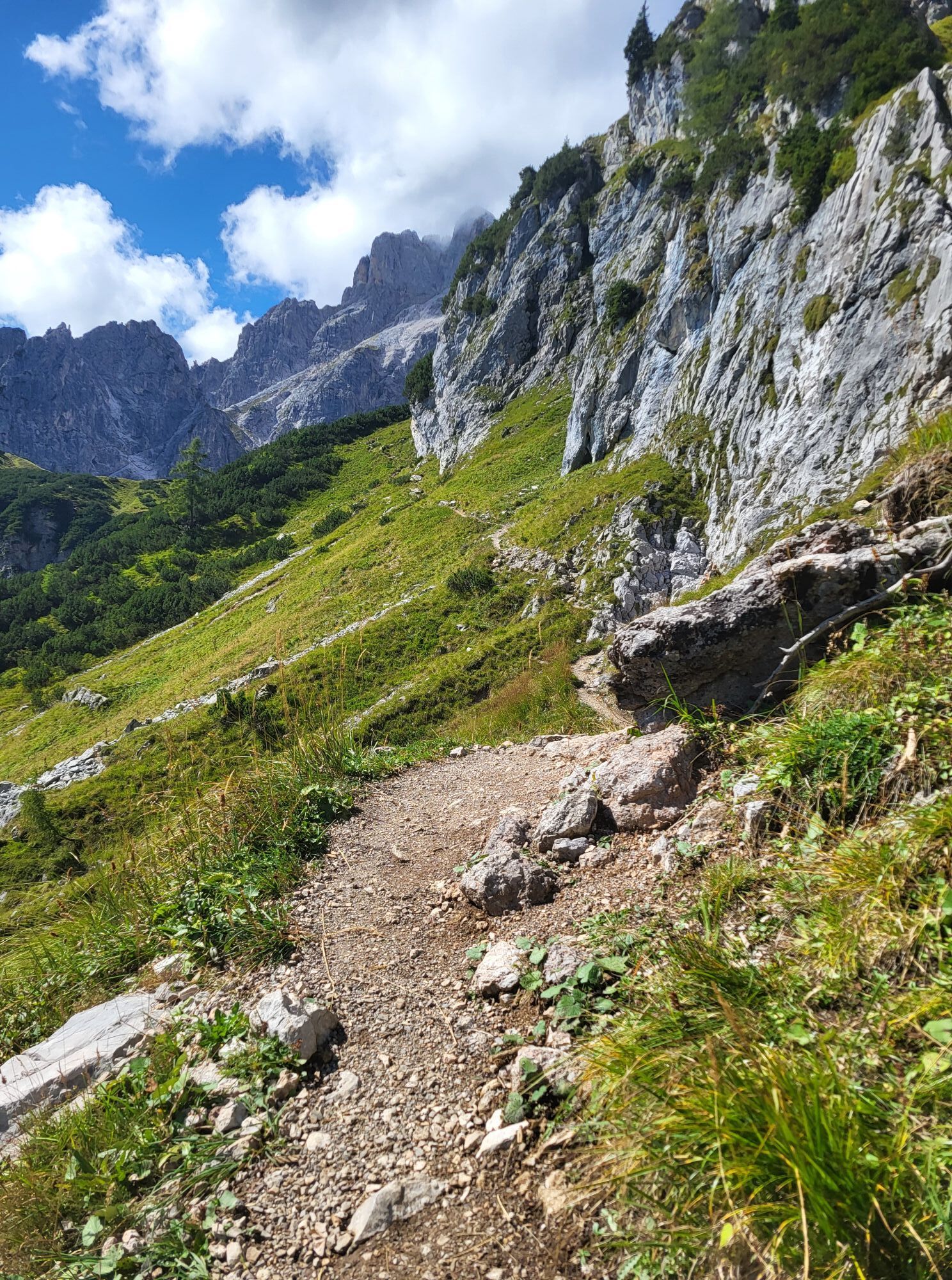
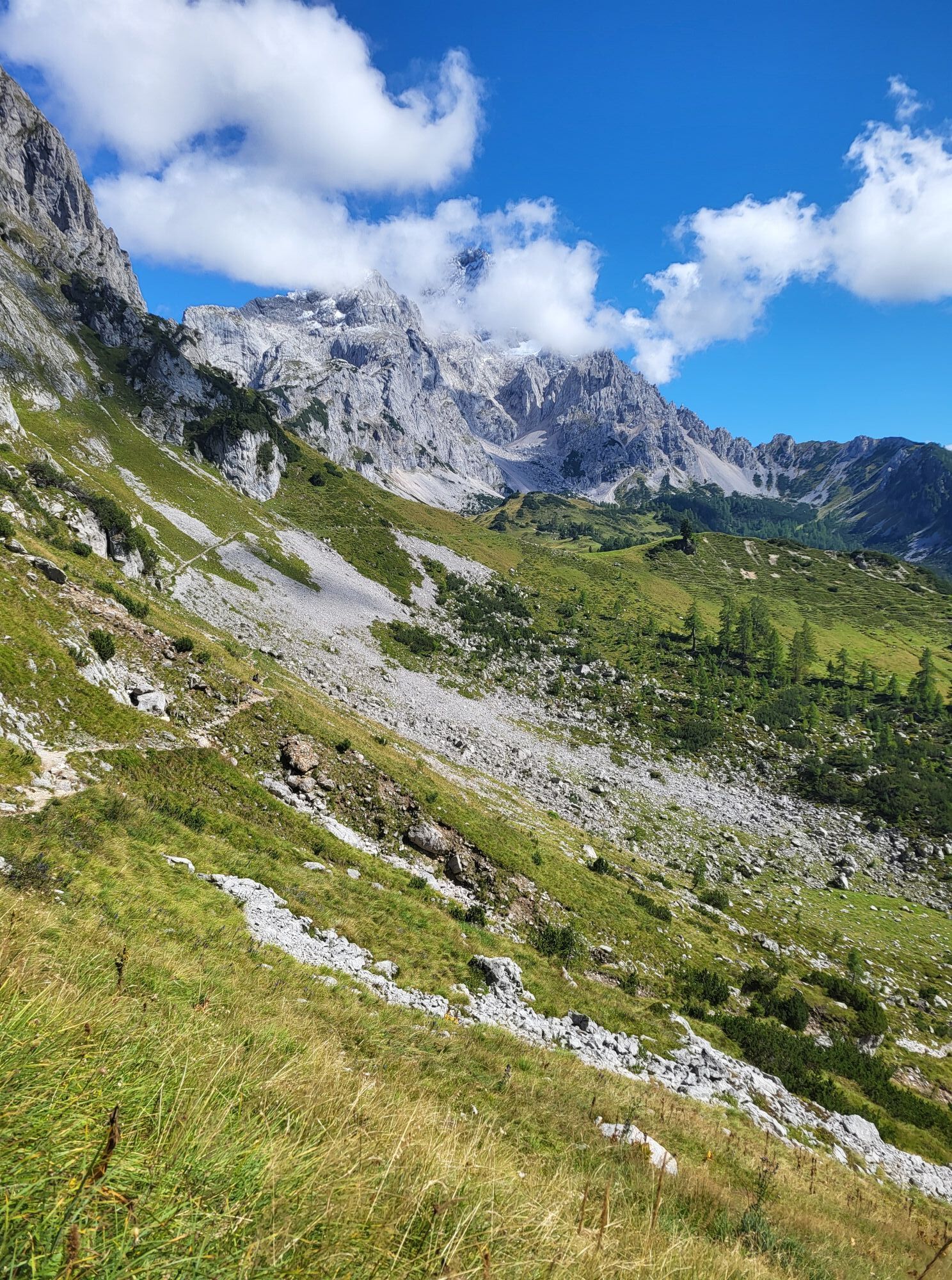
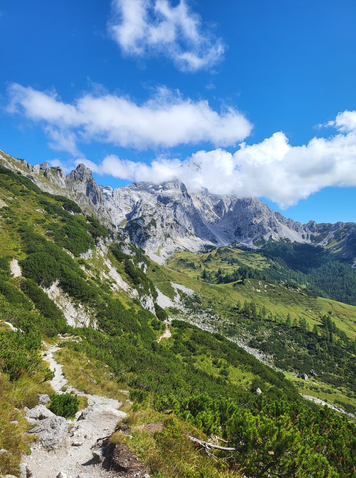
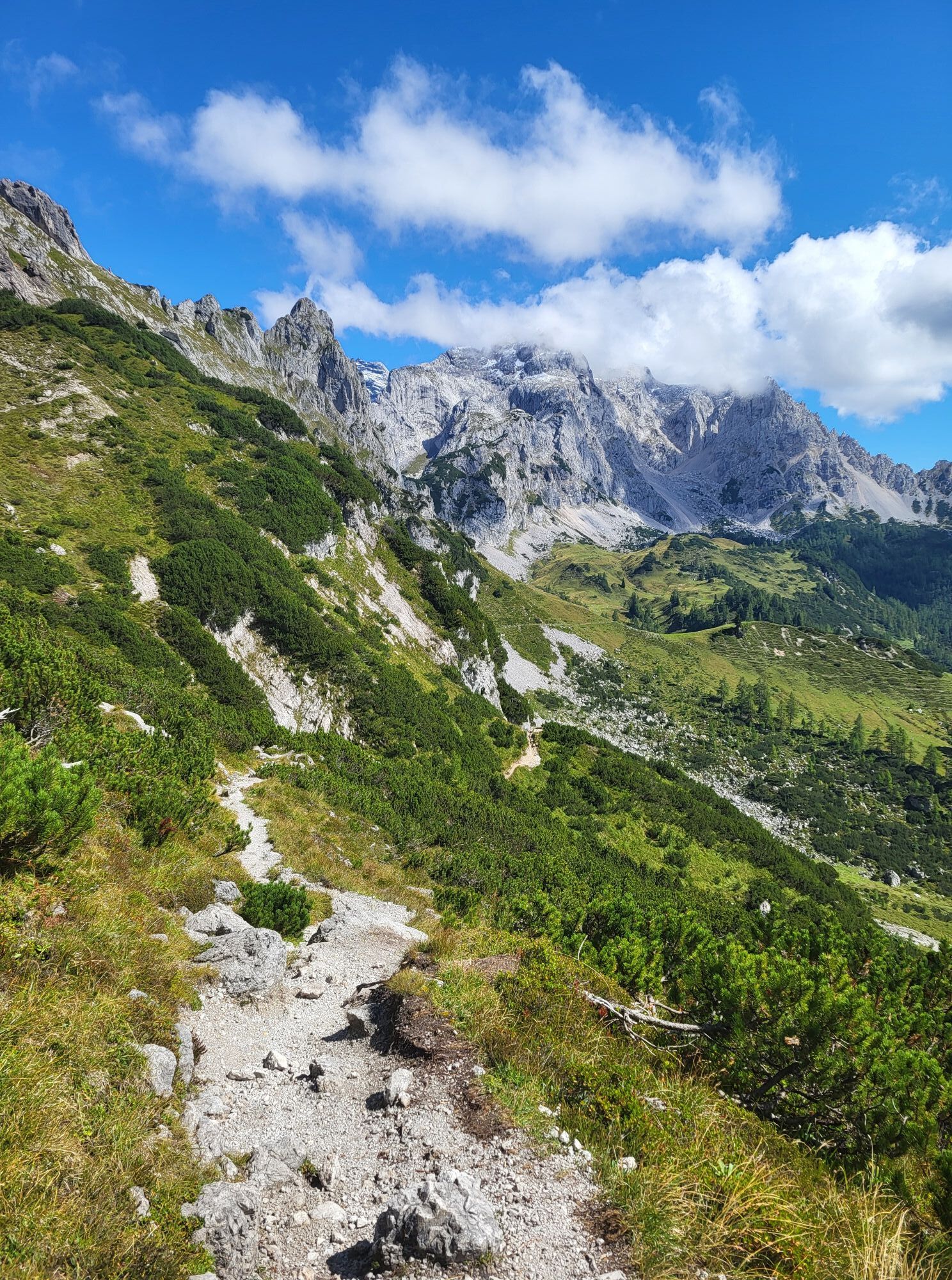
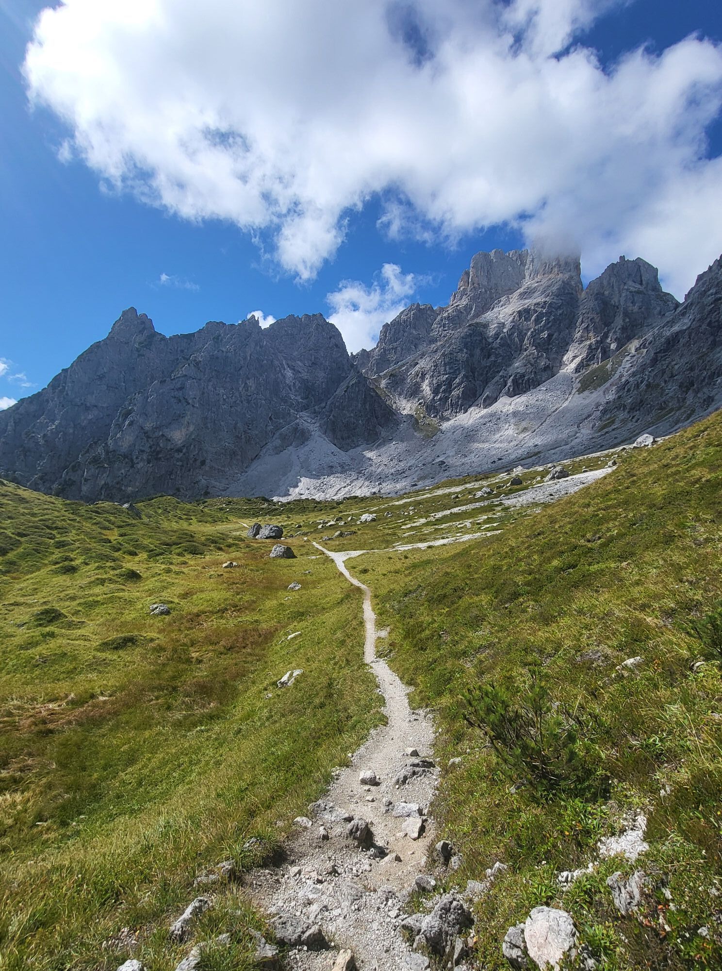
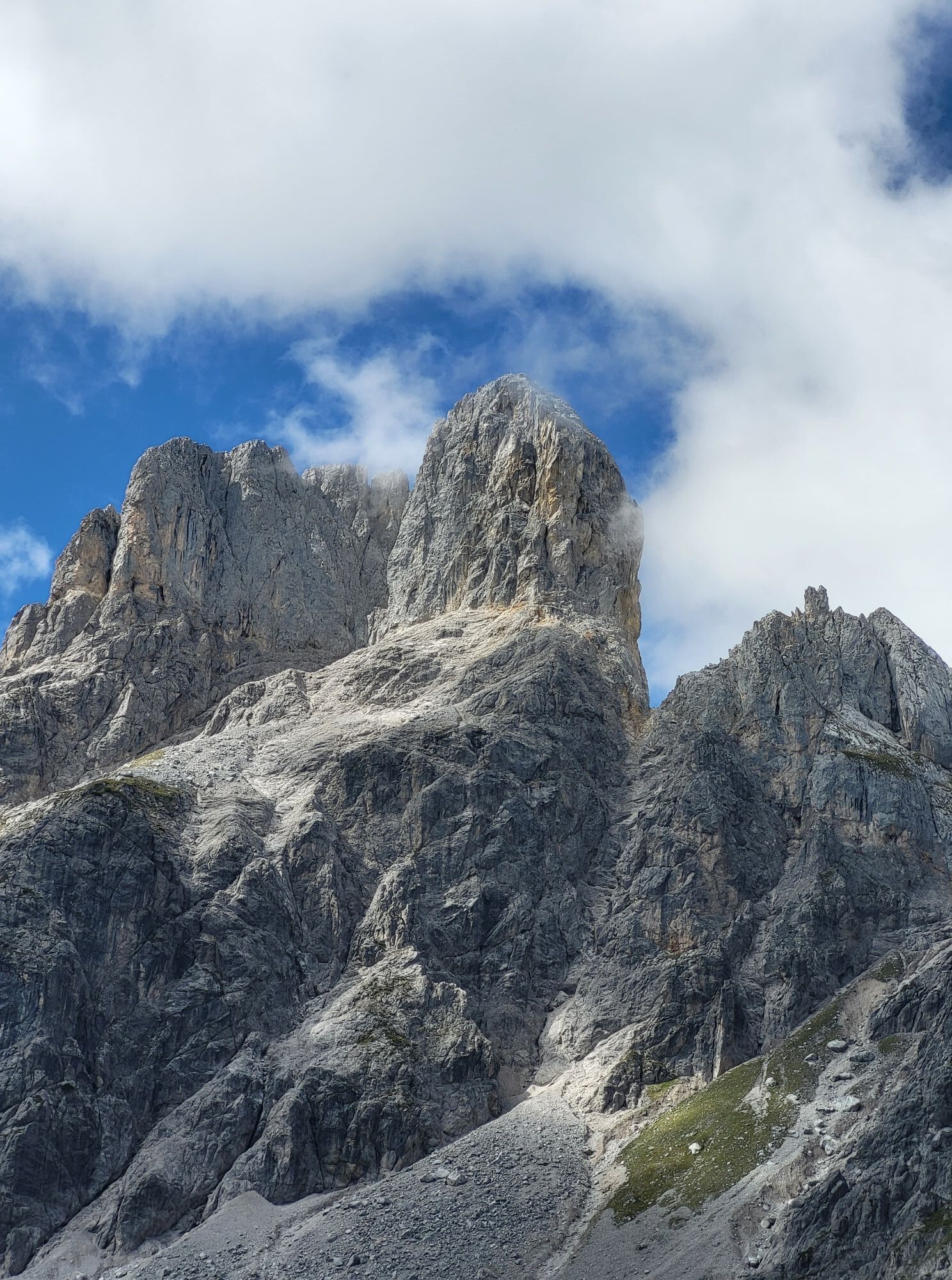
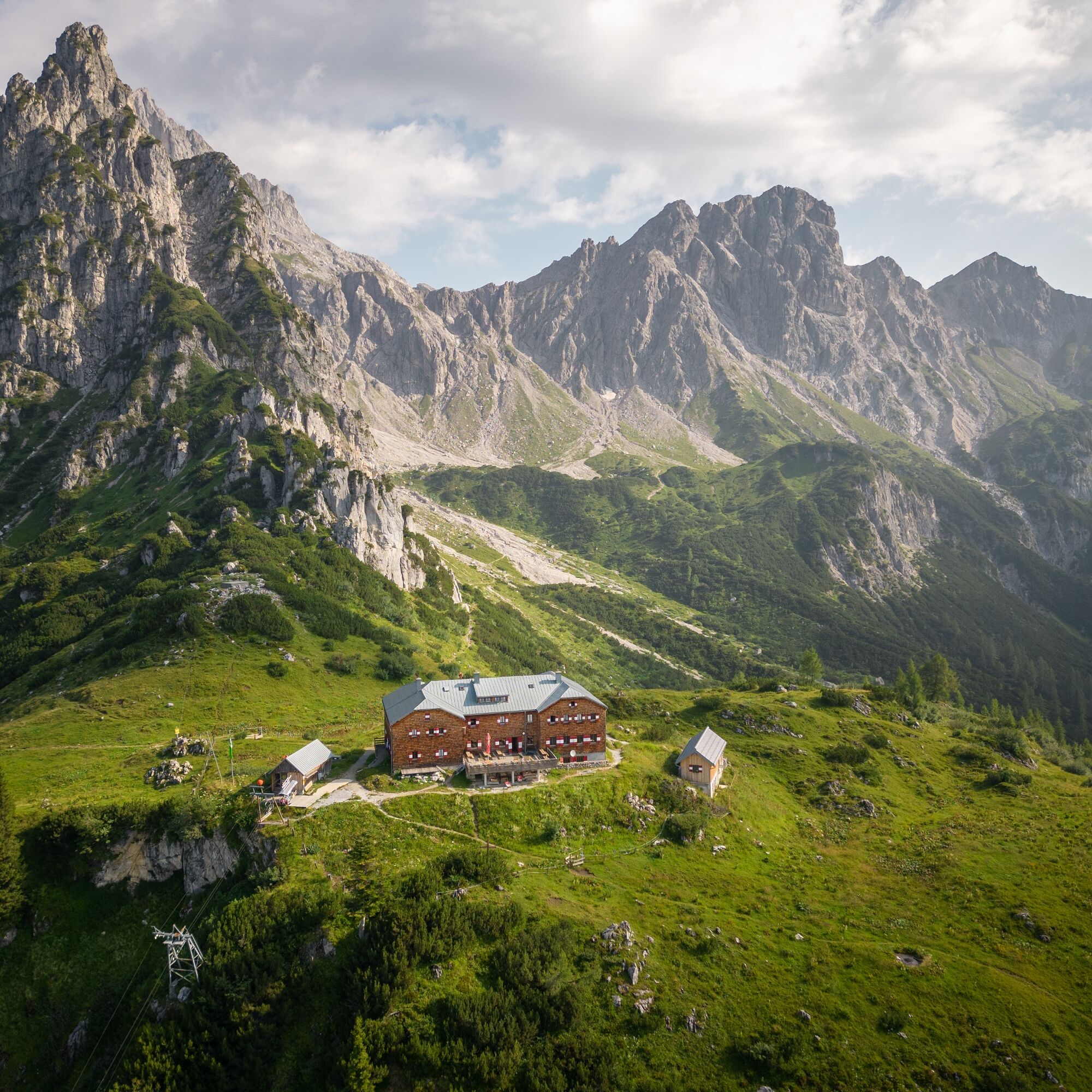
The first stage begins at the Experience Portal Filzmoos, where parking is available opposite the petrol station. From there, the trail heads through Hinterwinkl, passing the Hofalm toll station, before following the stream to the Leopichl farm road. Via Wallehengut, you reach the junction for Sulzenalm (Austrian Alpine Club Trail No. 638). The historic Old Sulzenalm Trail climbs through the forest to the Sulzenalmen, home to the Krahlehenhütte and Wallehenhütte. The route then continues via Sulzenhals to Sulzenschneid (1,990 m), rewarding hikers with magnificent views of the Gosaukamm, Bischofsmütze, and the Dachstein massif. The stage continues along the Linzer Steig and across the Rinderfeld to the Hofpürgl Hut (1,705 m). This approximately six-hour hike requires sure-footedness, good fitness, and appropriate alpine equipment. Overnight stay at the Hofpürgl Hut.



Walking time: approx. 6 hours - overnight stay at the Hofpürglhütte
A convenient starting point for the first stage is the Experience Portal Filzmoos, where parking is available opposite the petrol station. From there, follow the road towards the roundabout and continue in the direction of Hinterwinkl. Shortly before the second bridge, leave the road and continue straight ahead. The trail passes the old mill before following the stream along a pleasant path to the Leopichl farm road (Güterweg Leopichl).
At the toll gate, do not continue left onto the toll road. Instead, keep right and follow the farm road, which climbs gently to Wallehengut (30 B). Just below the farmhouse, the hiking trail branches off towards Hofalm. Follow this trail until you reach the clearly signposted junction for Sulzenalm on Austrian Alpine Club Trail No. 638.
This is where the ascent along the historic Old Sulzenalm Trail begins. The narrow forest path branches off to the right from the farm road and climbs steadily through the woods in a series of switchbacks. As you gain elevation, the forest gradually opens up, leading to the expansive alpine meadows of the Sulzenalmen, an ideal place for a first rest stop.
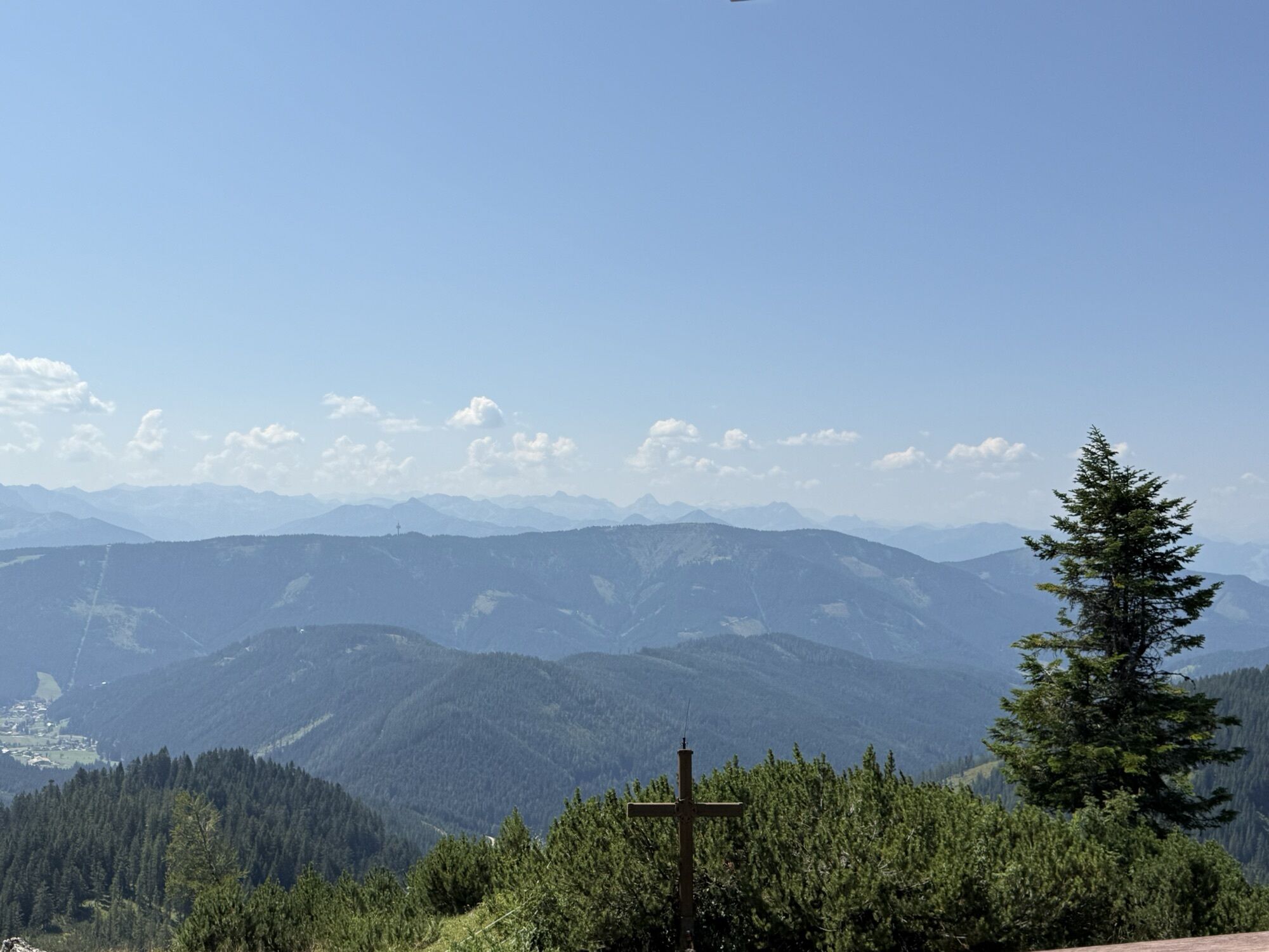
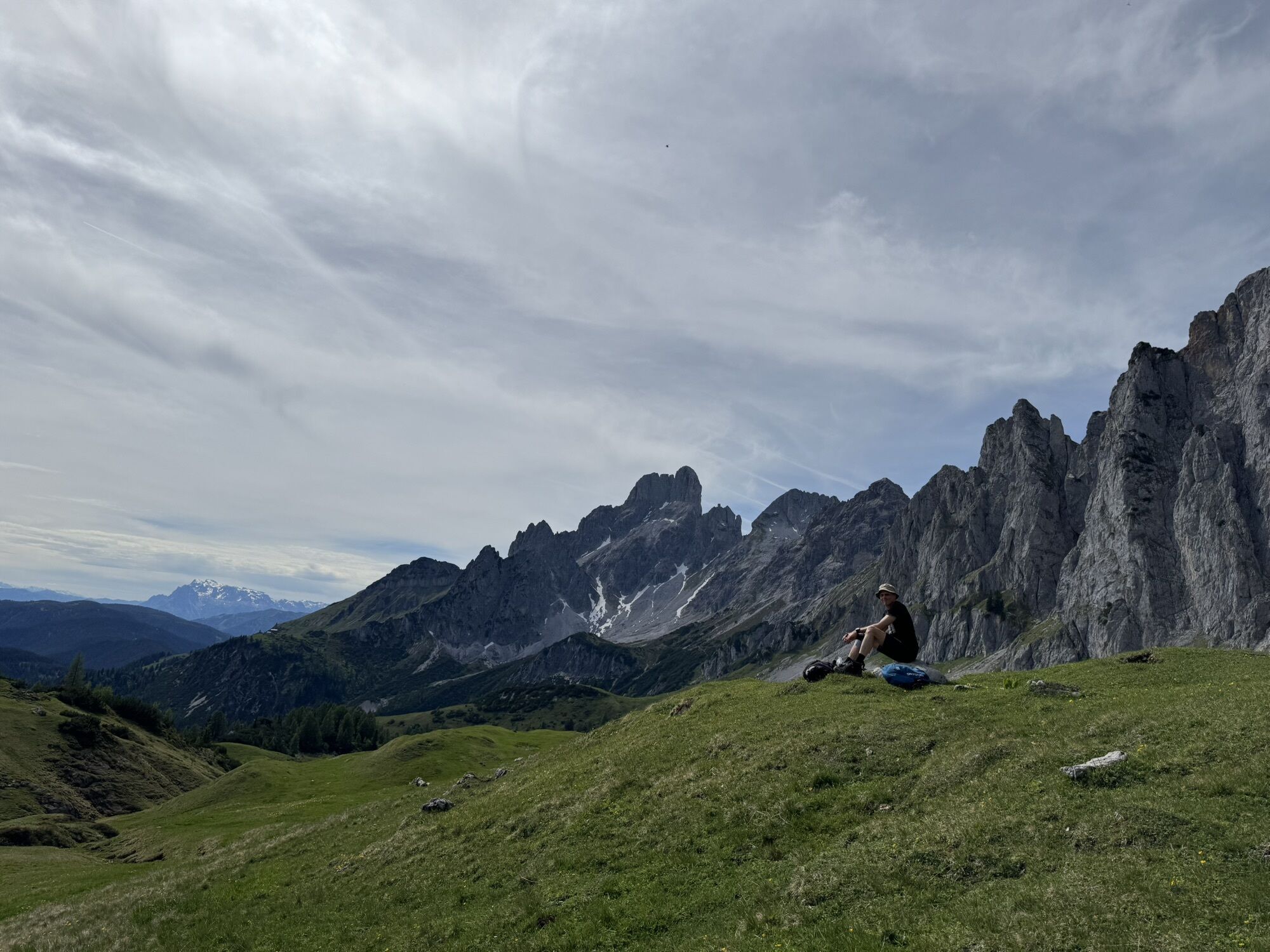
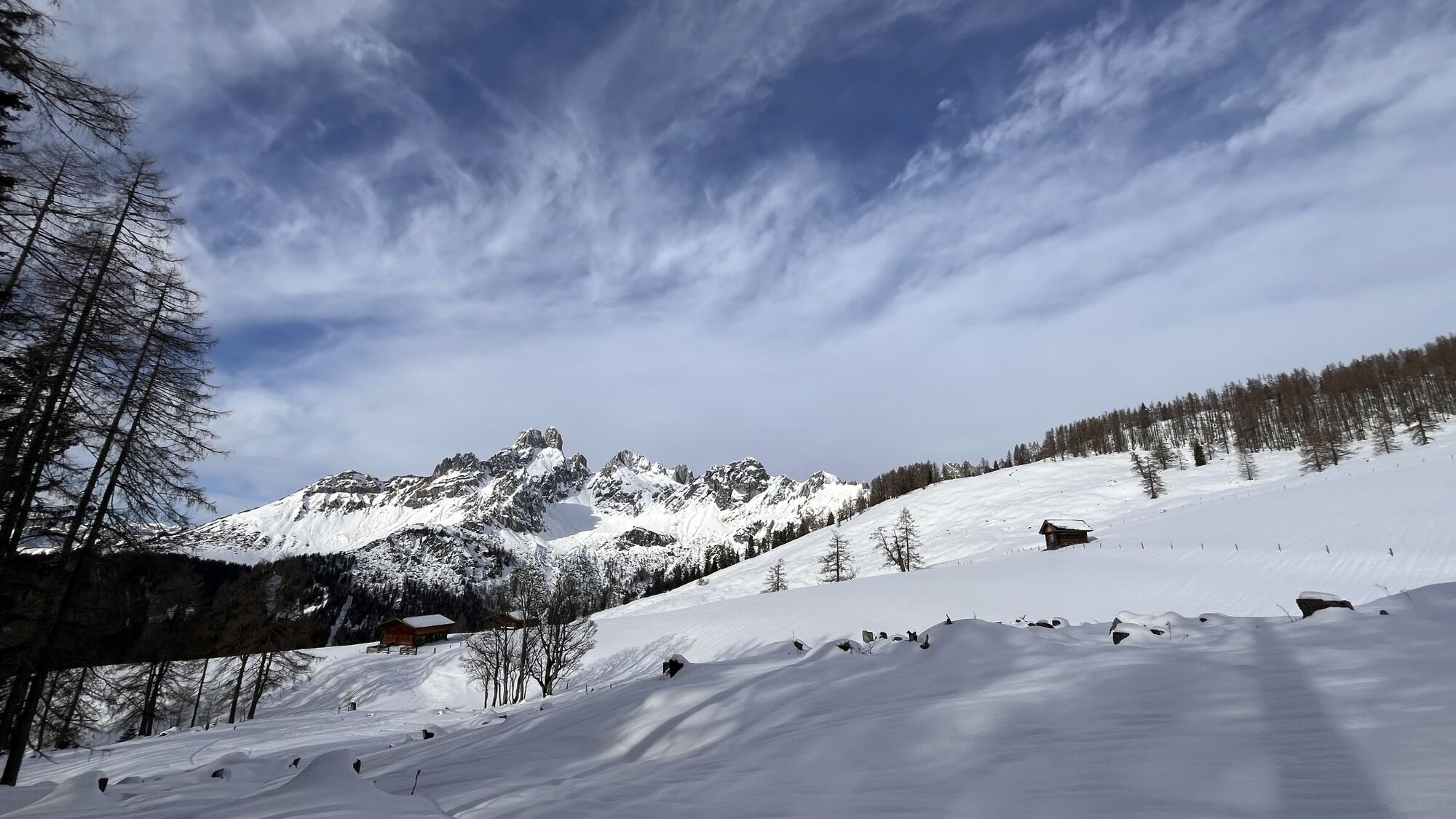
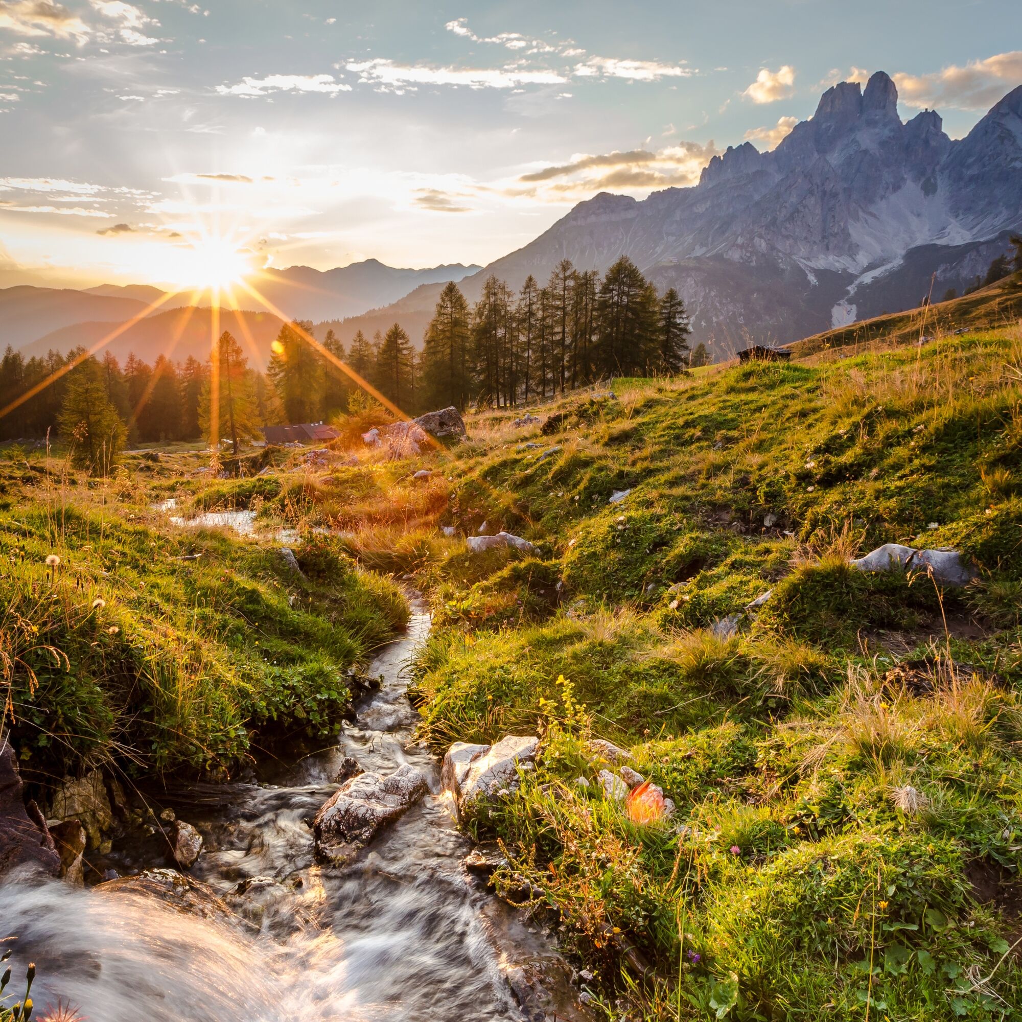
From the Sulzenalmen (Krahlehenhütte and Wallehenhütte), follow the signs towards Sulzenhals. The trail ascends steadily across alpine pastures before crossing increasingly rocky terrain on its way to the Sulzenhals saddle. At the saddle, turn right and continue towards Sulzenschneid. Following the scenic ridge, you will reach the summit cross of Sulzenschneid at 1,990 metres. From the summit, you are rewarded with magnificent panoramic views of the Gosaukamm, the Bischofsmütze, and the Dachstein massif.
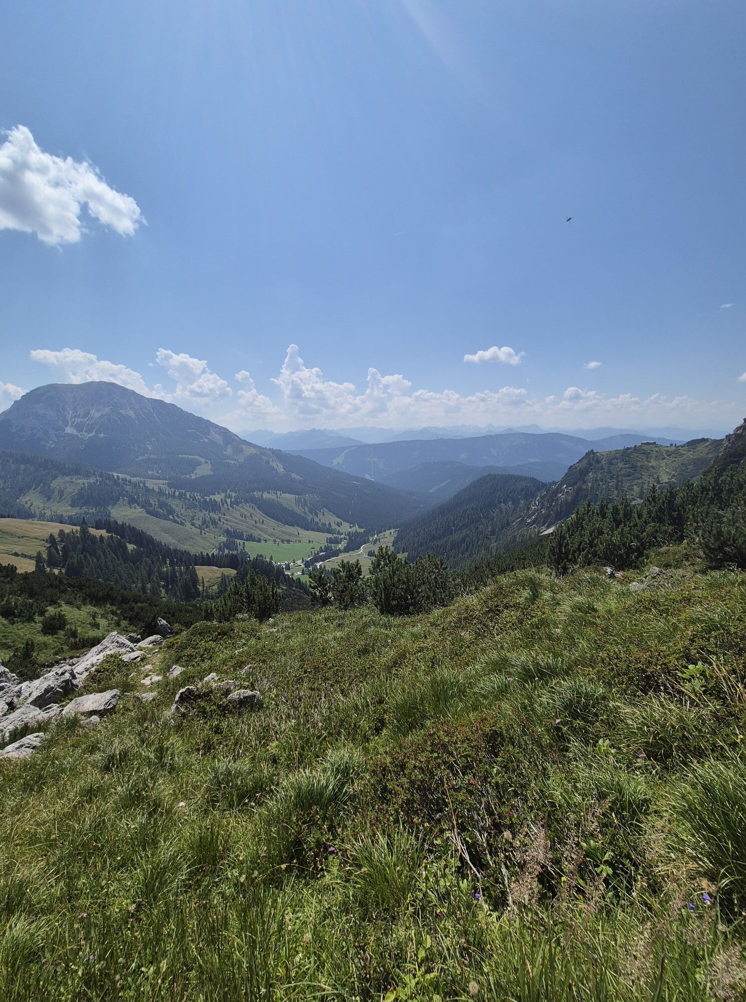
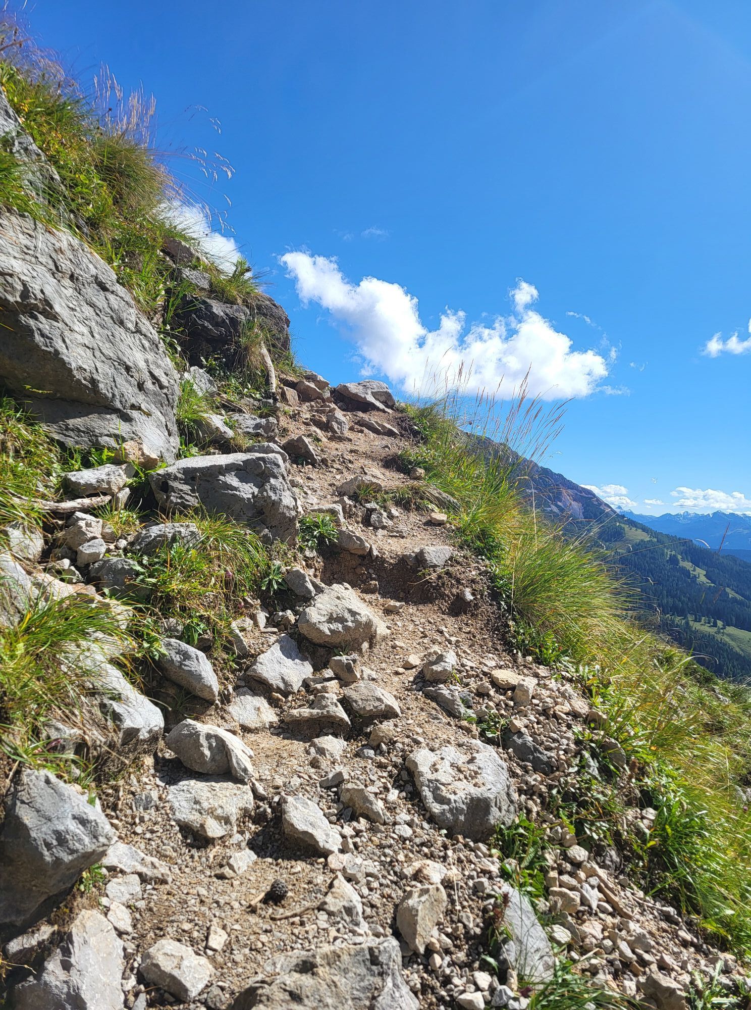
The descent follows the Linzer Steig trail. The path initially drops more steeply in a series of switchbacks, where sure-footedness is essential, especially in wet conditions. After the steeper section, the terrain becomes gentler as the trail crosses the wide alpine meadows of the Rinderfeld.
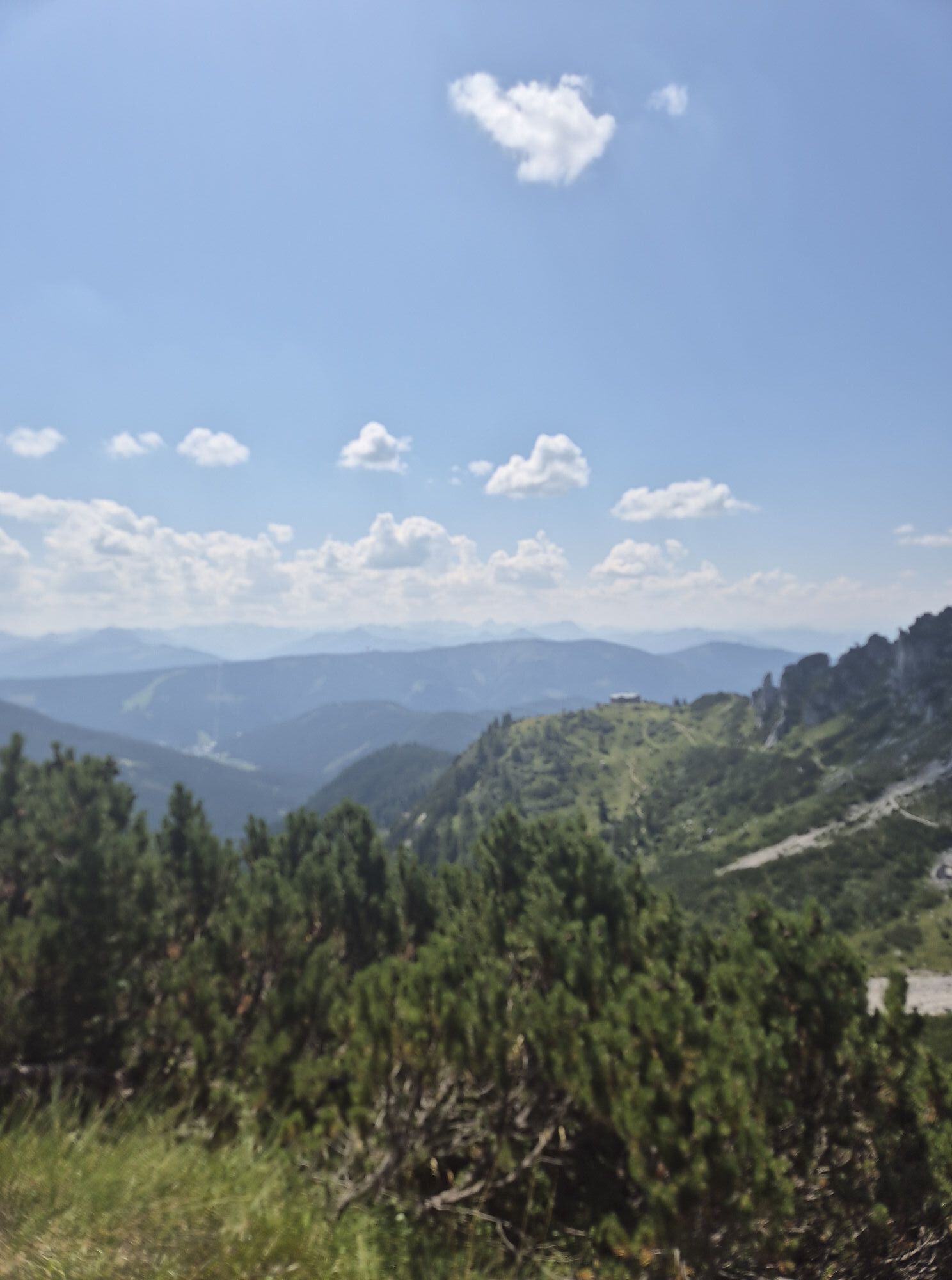
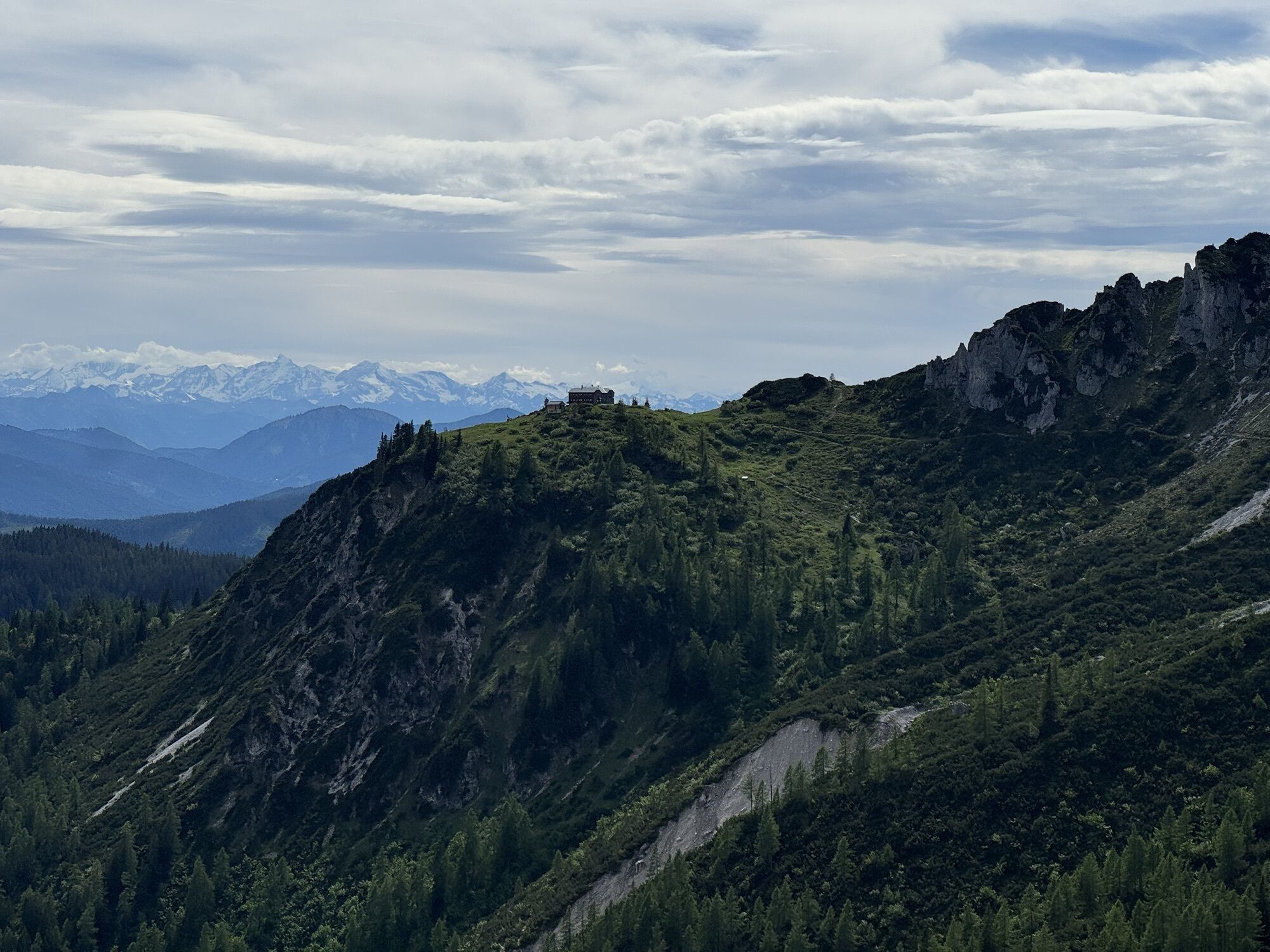
From the Rinderfeld, the well-marked trail continues with gentle ascents and descents directly to the Hofpürglhütte at 1,705 metres. After approximately six hours of hiking, you will reach your destination for the day, where you can relax and spend the night before continuing your tour.
Tak
Tak
A good backpack is helpful, and for routes in alpine terrain, a hat, gloves, a good jacket, and trousers belong to the basic equipment. Good waterproof shoes, sunglasses, sun protection, and sufficient drinks are essential. A flashlight, map material, knife, and a small first aid kit are also part of it.
GPS data and orientation aids
Available GPS data – like hiking maps – are only orientation aids because they can never represent an exact image or the detail richness of a path in reality. Especially at dangerous spots, it must always finally be decided on site how and whether the further route is taken.
In an emergency, please use the following emergency numbers:
140 - for alpine emergencies - Austria-wide
112 - Euro emergency GSM emergency service
Coming from Ramsau am Dachstein:
At the roundabout, take the exit towards Neuberg – shortly after the gas station, turn left. There is a public paid parking lot opposite the gas station. Roundabout - take the exit towards Hofalmen - paid parking spaces in the Hammerau area or just before the toll station there is a parking lot (beware of grazing cattle).Destination stations: Eben im Pongau or Radstadt (both on the Salzburg – Bischofshofen – Schladming – Graz railway line). From Salzburg main station, regular trains run (about every hour). The journey takes about 1 hour.
Then continue by bus or taxi: Bus line 521 runs directly to Filzmoos central stop from Eben im Pongau or Radstadt (travel time approx. 20–30 minutes). Alternatively, taxis are available at the station. Tip: Buses do not run very frequently – check the timetable in advance at www.oebb.at
With the Fidibus summer: From Hotel Neubergerhof there is the Fidibus summer (hiking bus) which takes you from Neuberg to Filzmoos to the toll station stop. Here is the timetable
There is a public paid parking lot opposite the gas station.
There are paid parking spaces at the parking lot Hammerau (before Café & Restaurant La Vie).
Free parking is available before the Hofalm toll station from 1st June to 30th September (please note: grazing livestock in the area). Outside this period, parking is subject to a fee.
T2
At the Filzmoos tourist information you can get a hiking map (Euro 5.50) or hiking sketch (Euro 2.00) with information about this route.
KOMPASS hiking map 031 “The Dachstein, Ramsau, Filzmoos” – 1:25,000 (very detailed, weatherproof paper. Ideal for planning and on the move.)
For the "Around the Bischofsmütze" tour, we recommend reserving a dormitory place or a private room for your overnight stays, as the mountain huts—especially on weekends—are often fully booked.

 Uzyskaj wgląd Zawsze na żywo z ponad 9 500 kamer internetowych. bergfex Jako użytkownik Pro, możesz teraz zobaczyć odpowiednie kamery internetowe dla wielu wycieczek w aplikacji wycieczki od. Pozwala to na bezpośredni podgląd aktualnych warunków.
Popularne wycieczki w okolicy
- 4,5
Ramsau am Dachstein: Steinerne Jungfrauen
Wędrówka 8,11 km - 4,3
Heilbronner Rundwanderweg
światłoWędrówka 9,04 km - 4,3
Filzmoos: Rötelstein (Rettenstein)
Wędrówka 9,50 km - 4,8
Tour around the Gosaukamm
średniWędrówka 20,9 km - 4,8
4-Jahreszeiten Wanderweg
średniWędrówka zimą 5,94 km - 4,7
Tor-Wanderung
ciężkiWędrówka 14,2 km - 4,7
Tour around the Lake Gosau
światłoWędrówka 4,43 km - 4,5
Adamekhütte vom Vorderen Gosausee
średniWędrówka 23,2 km - 4,7
Ramsau am Dachstein: Bergstation Dachstein-Seilbahn - Guttenberghaus - Ramsau
średniWędrówka 14,4 km - 4,9
Das Trippel in der Silberkarklamm
średniVia ferrata 6,70 km
Wędrówki i tropienie


Nie przegap ofert i inspiracji na następne wakacje
Twój adres e-mail została dodana do listy mailingowej.





