







Salzburger Almenweg - Stage 08: Angertal - Bockhartsee - Sportgastein (Nassfeld)
Poziom trudności: T2

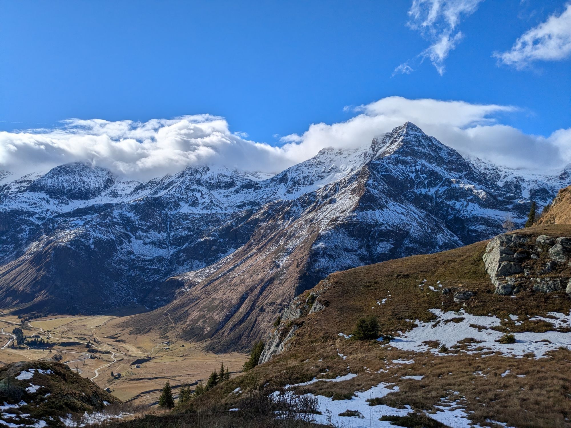

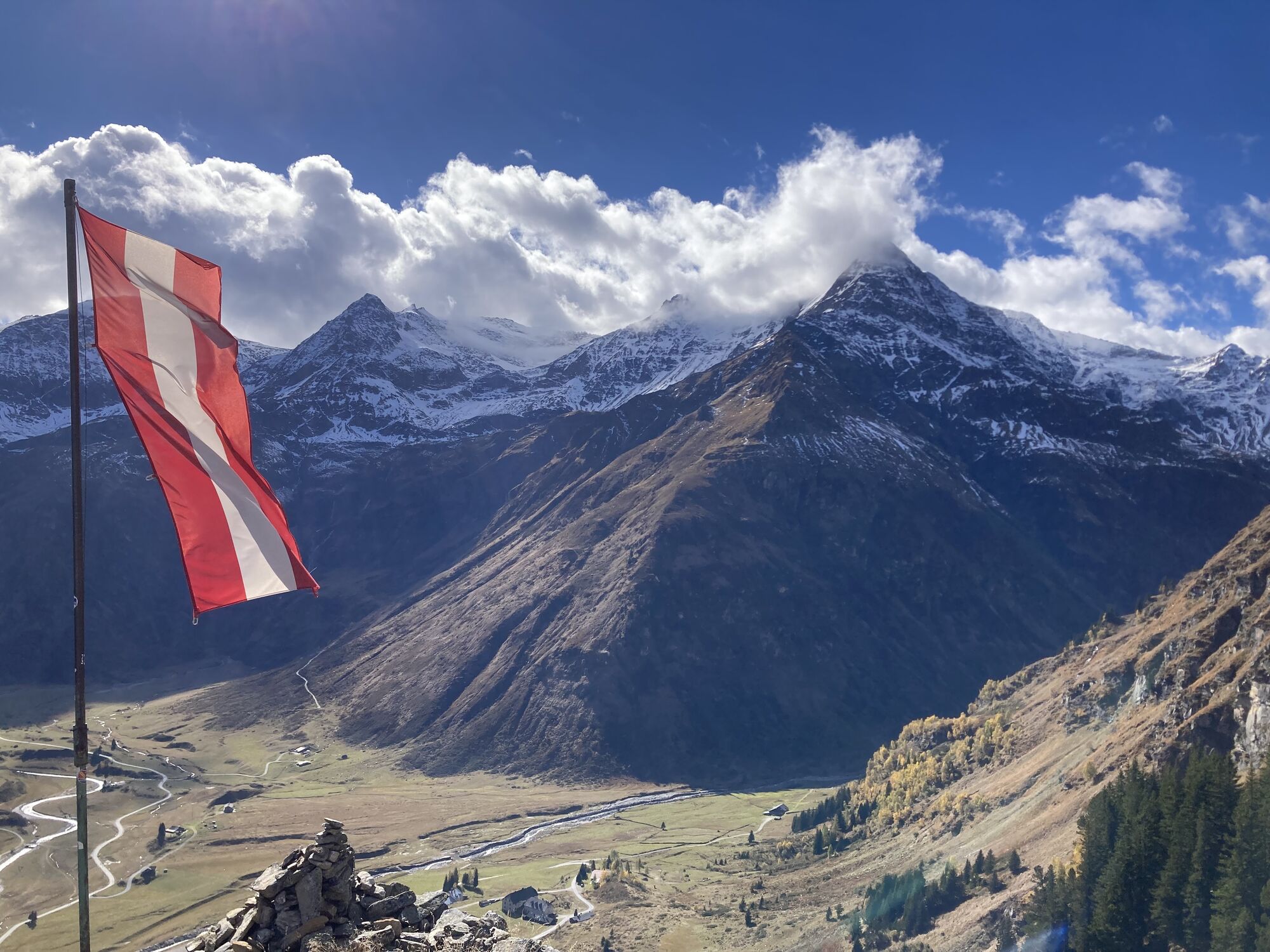
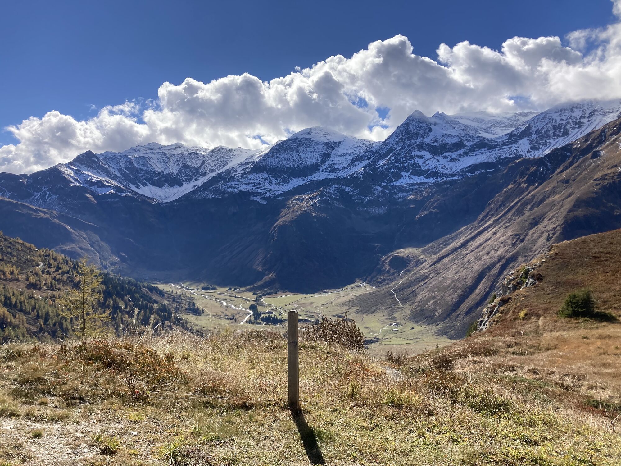



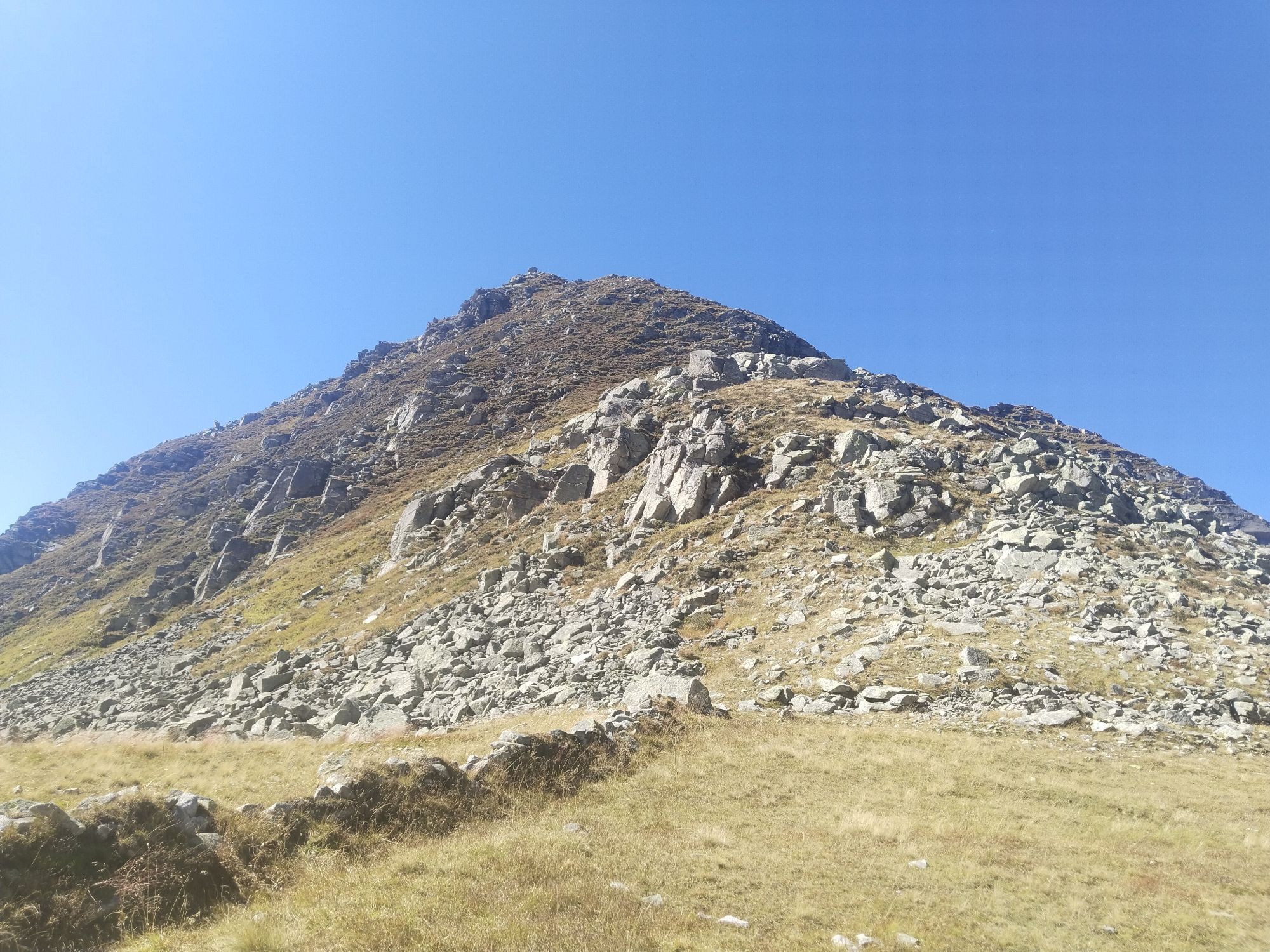
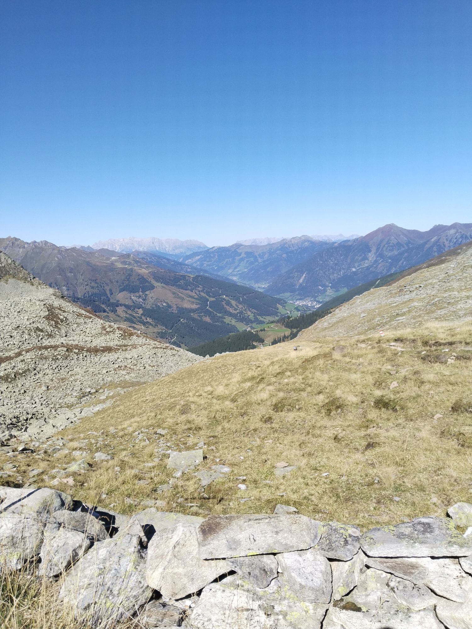
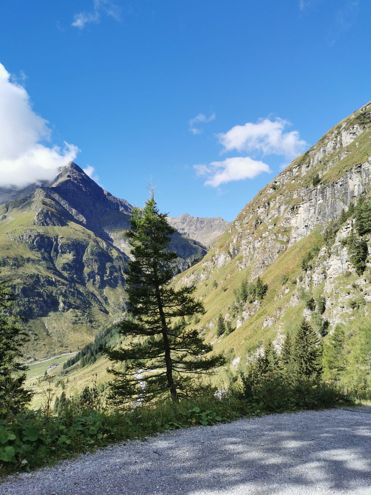
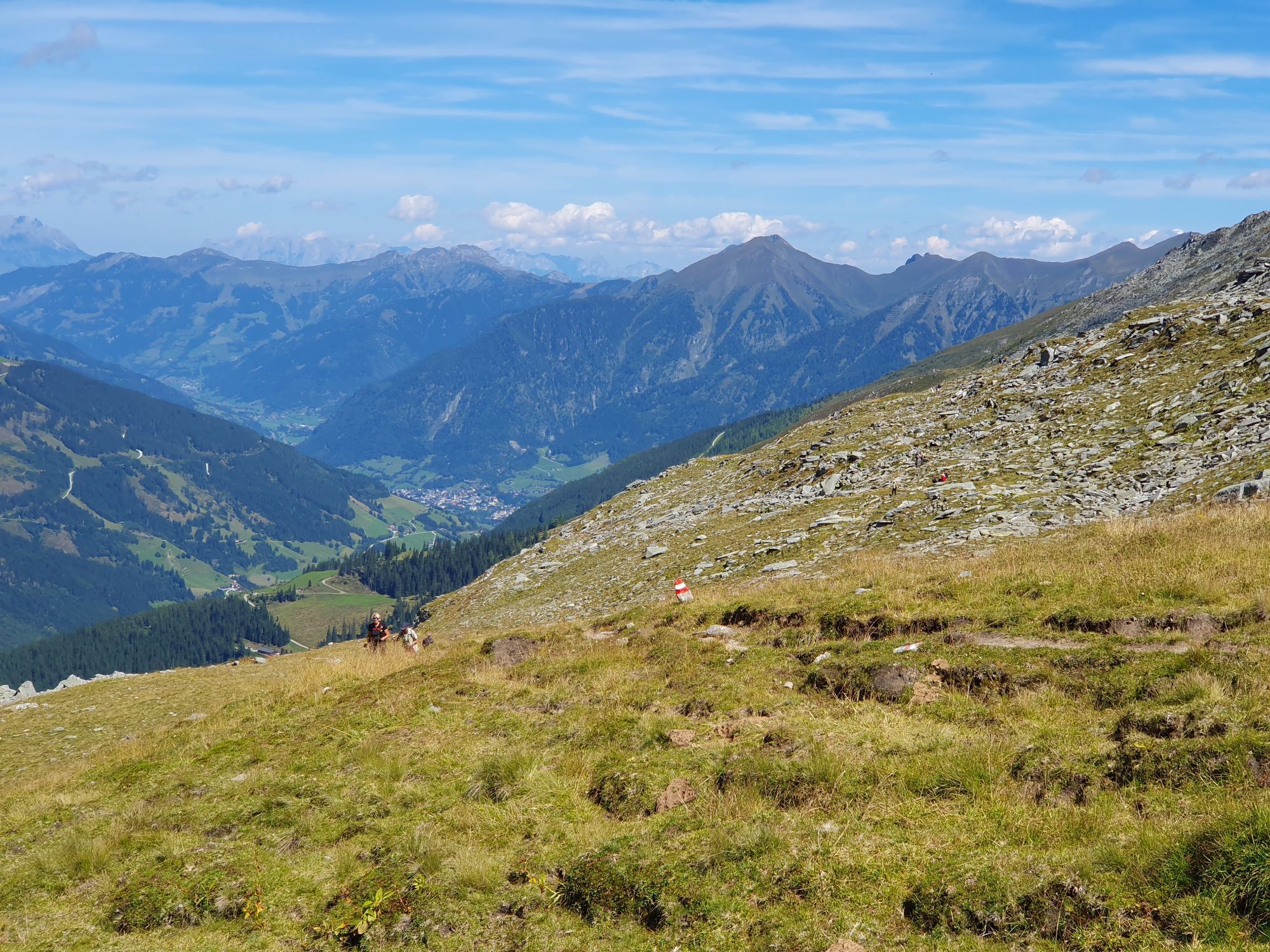
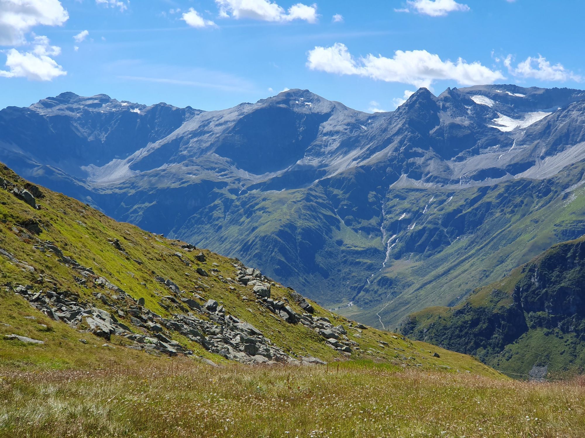
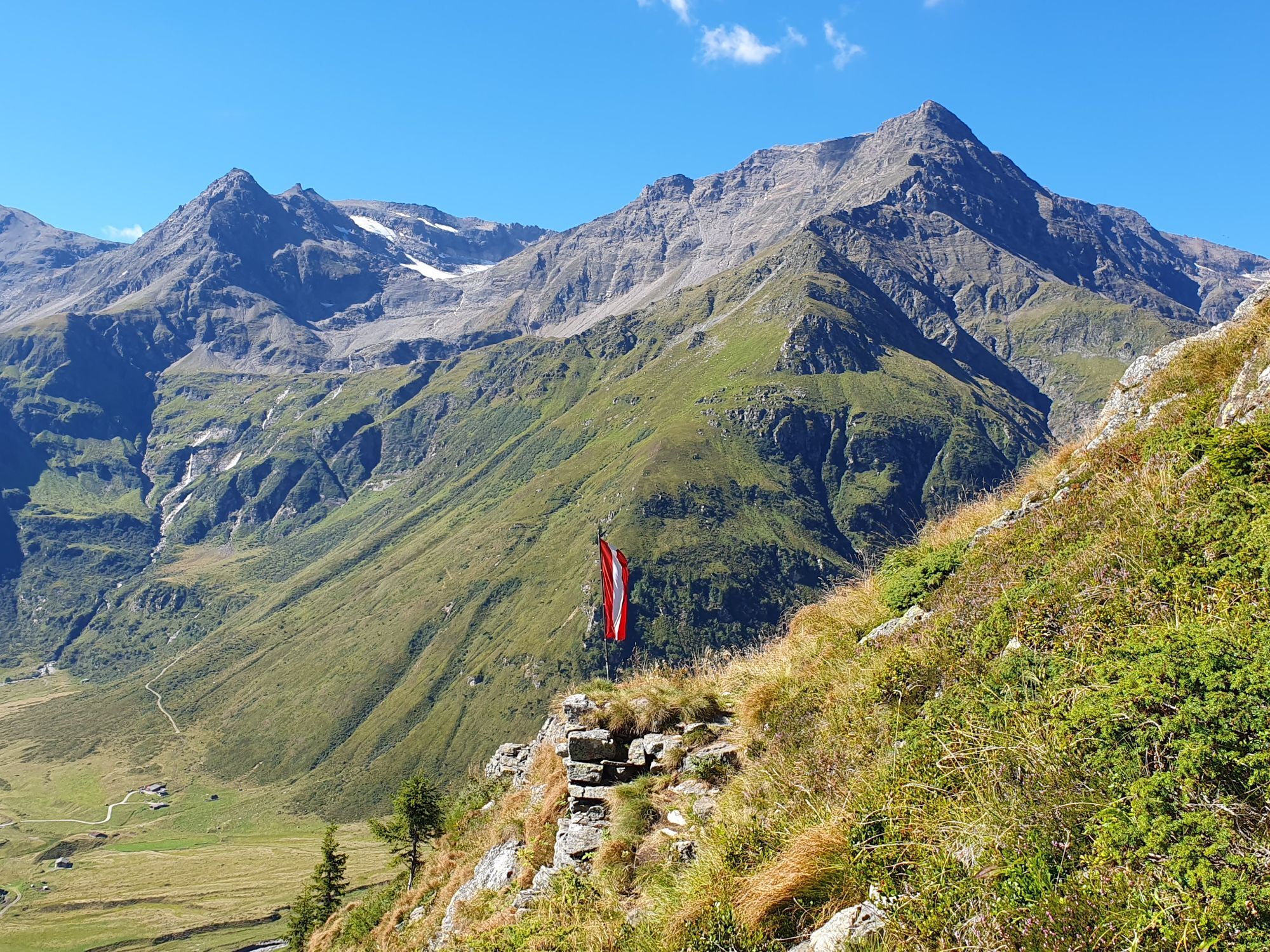

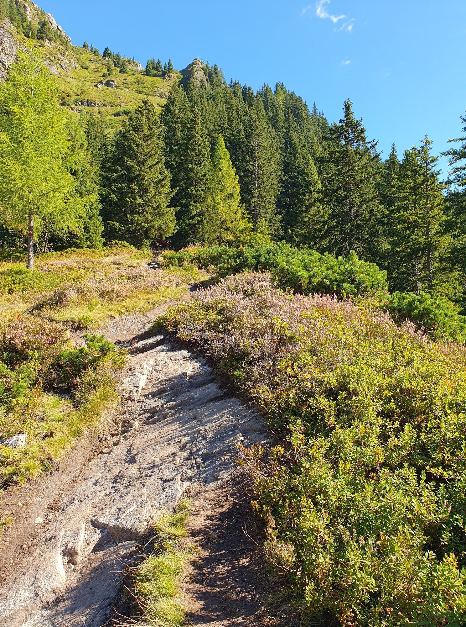
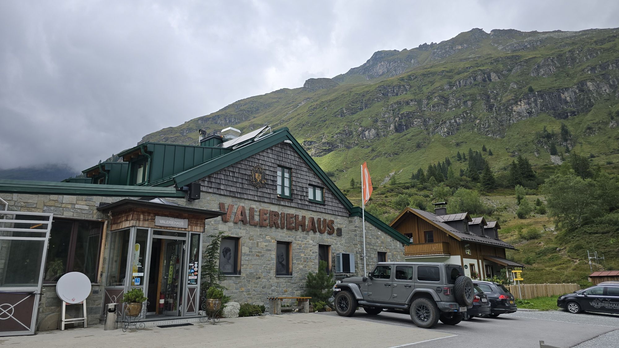
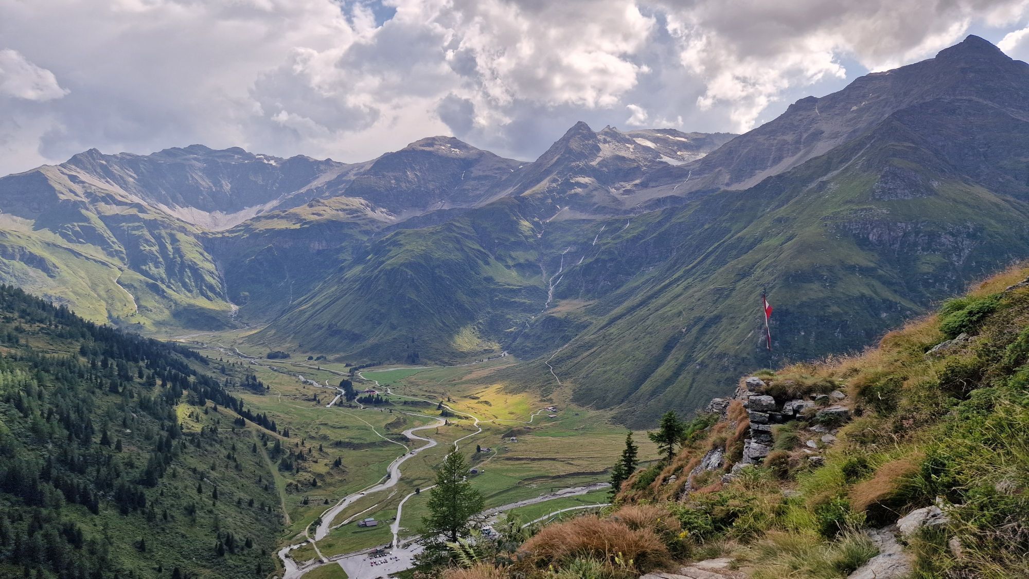
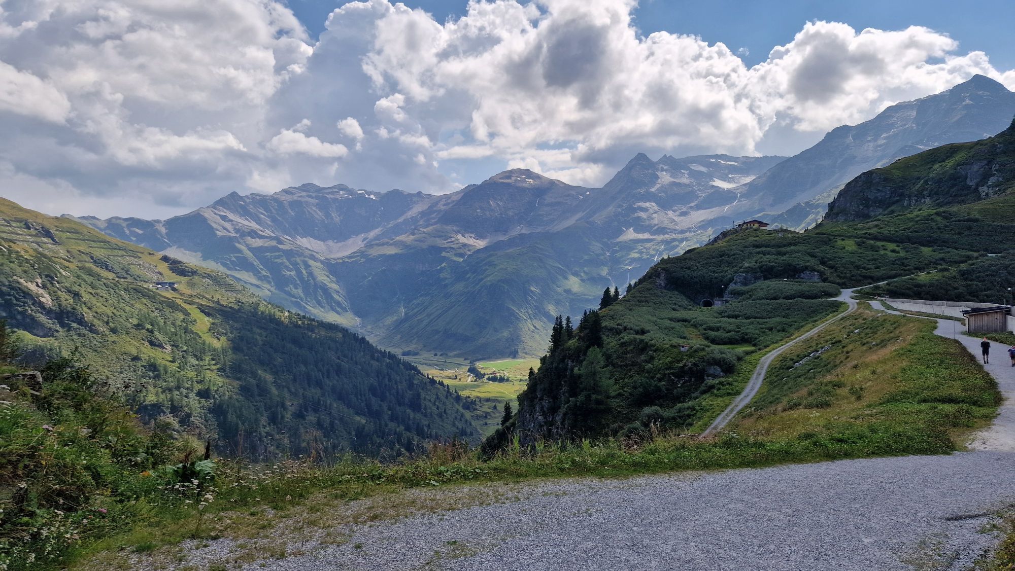
Today it gets rockier, stonier, higher: step by step, on this beautiful yet quite long high mountain hike, you approach the Hohe Tauern National Park with its mighty three-thousand-meter peaks. On the...
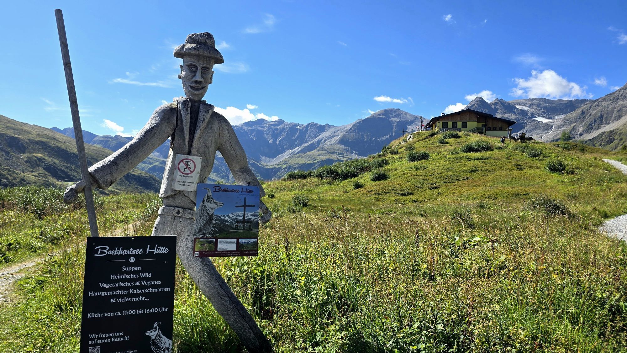
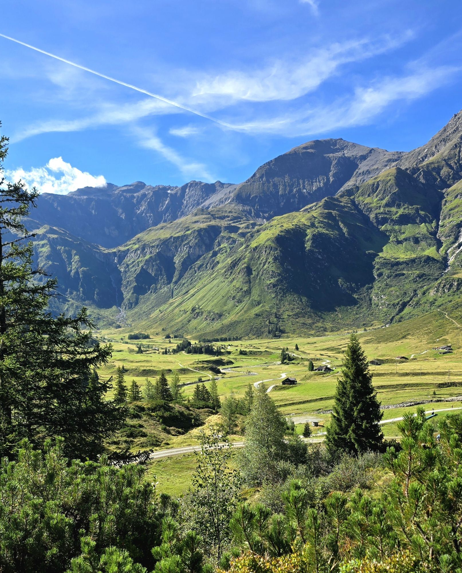
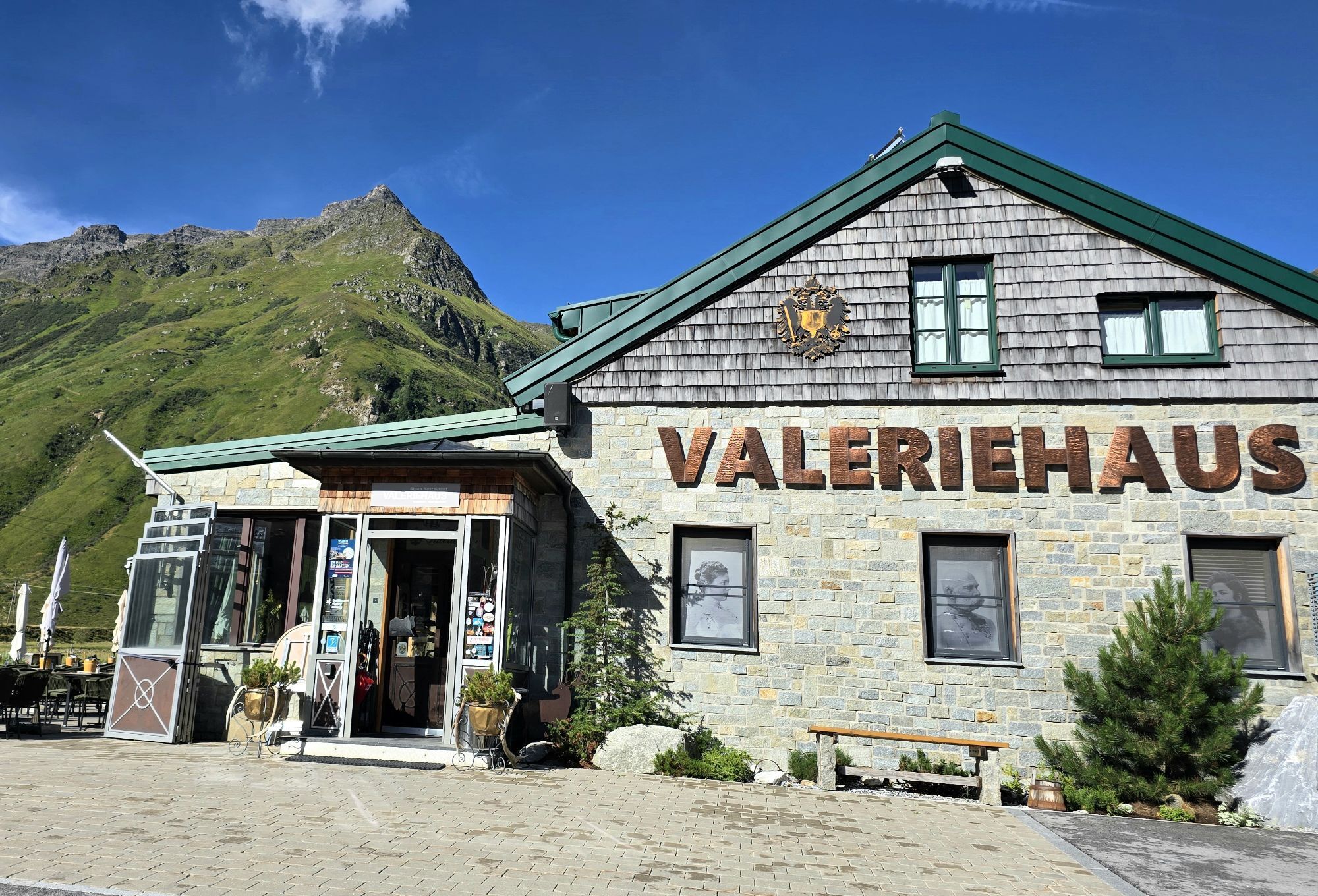
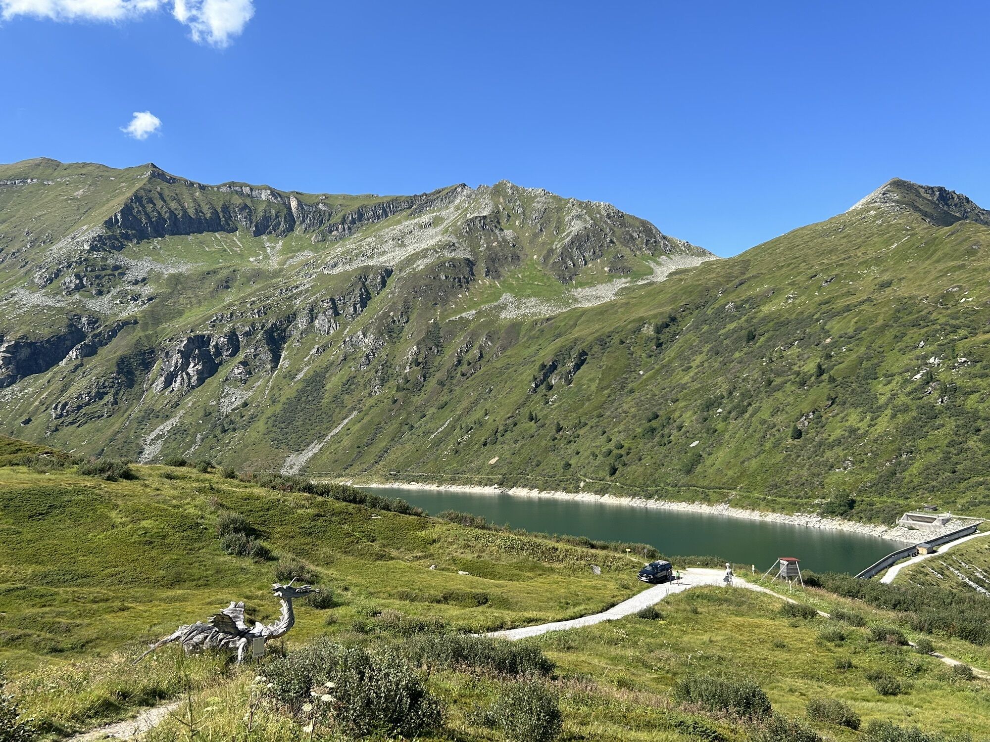
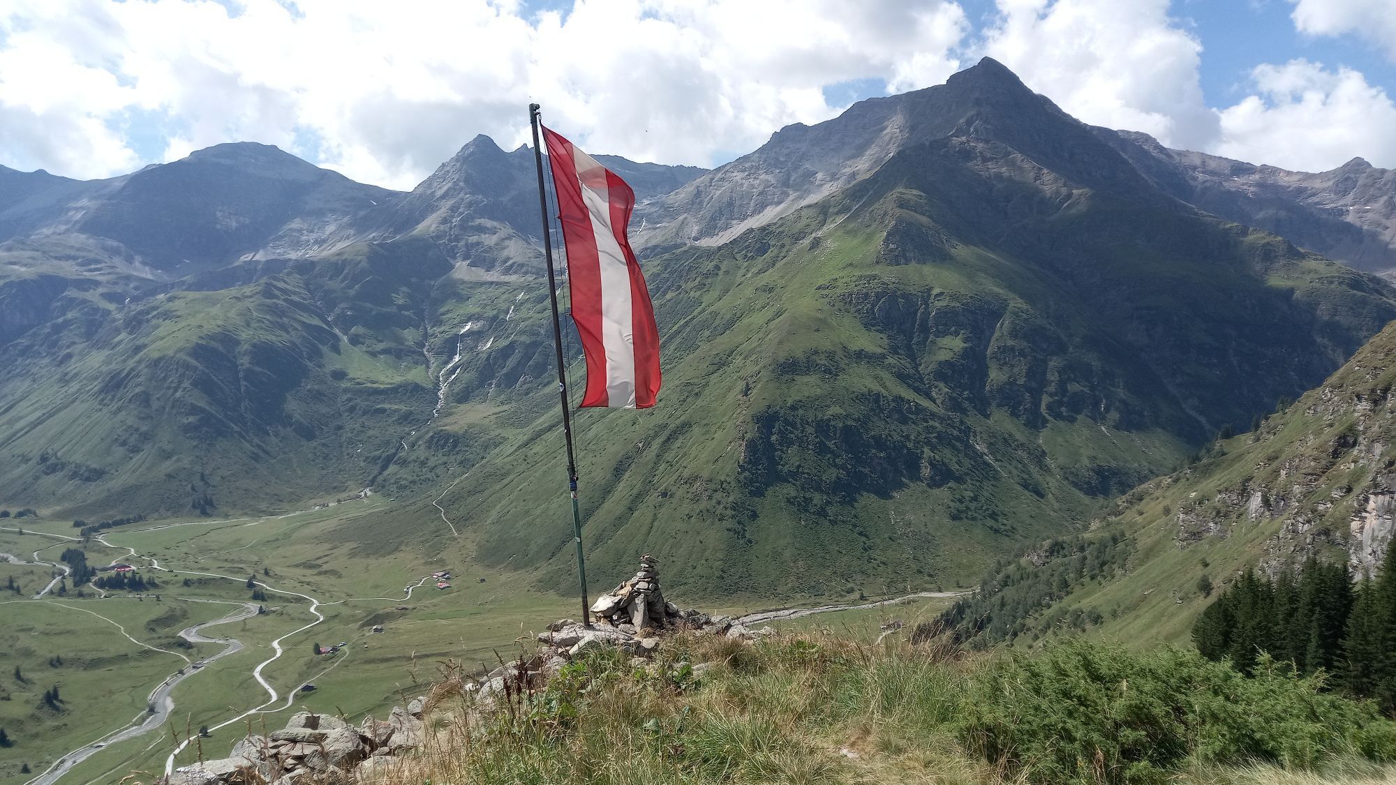
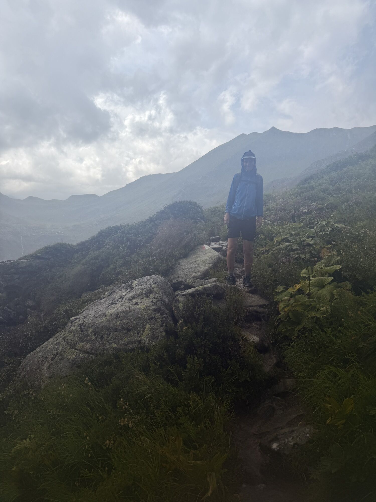
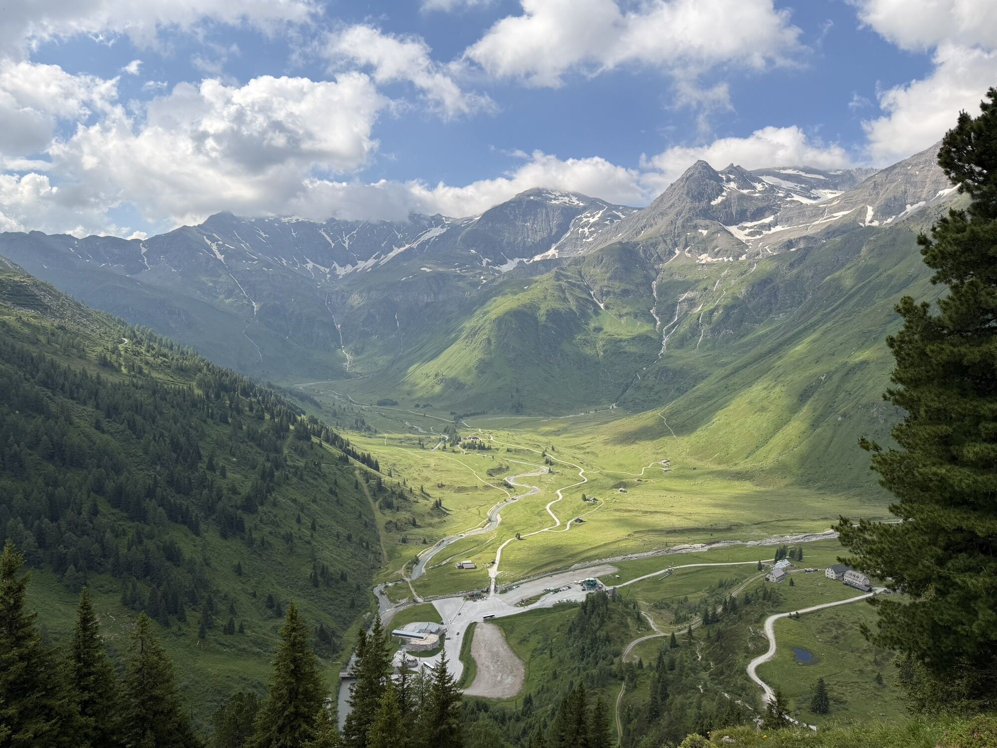
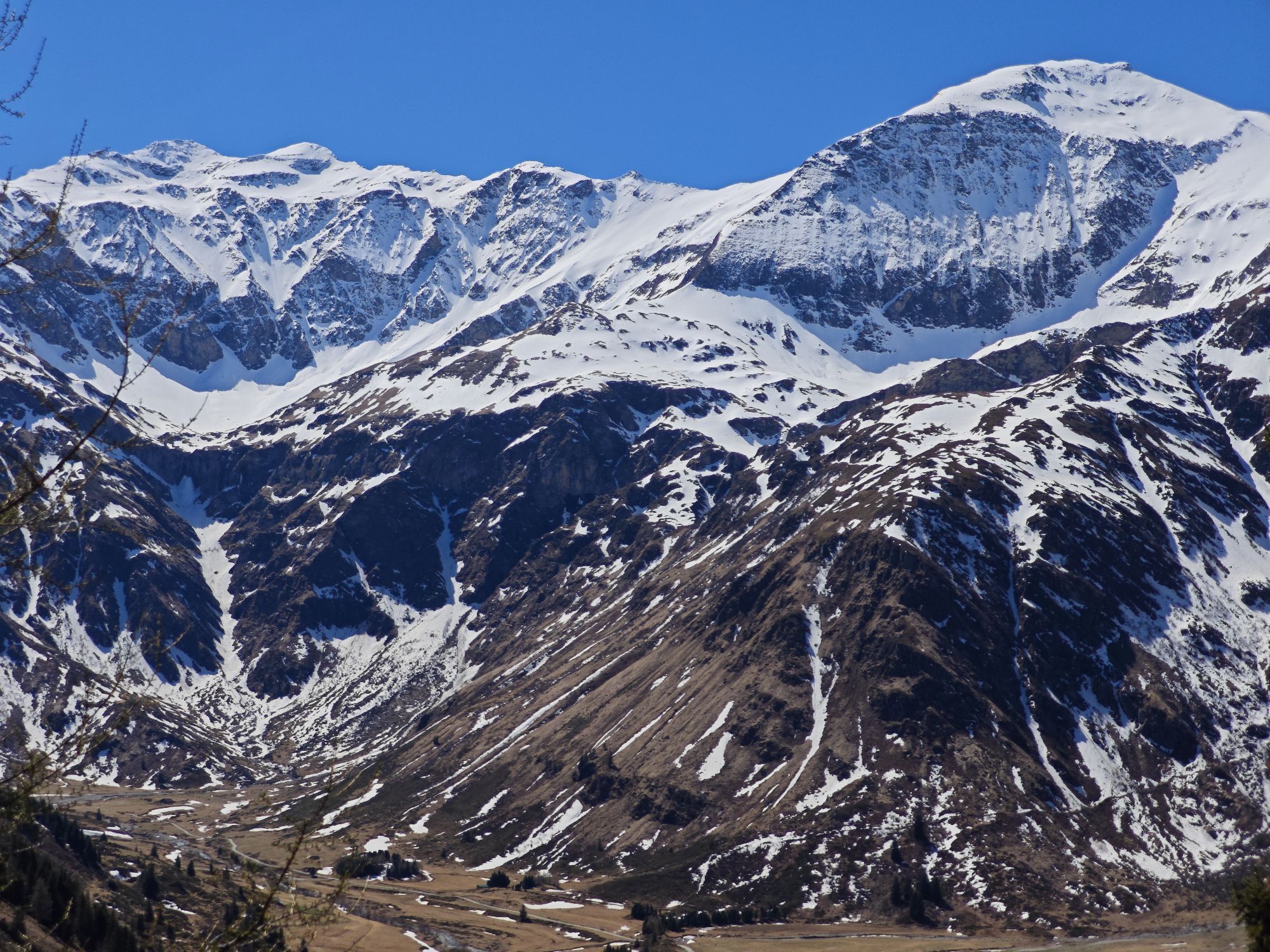
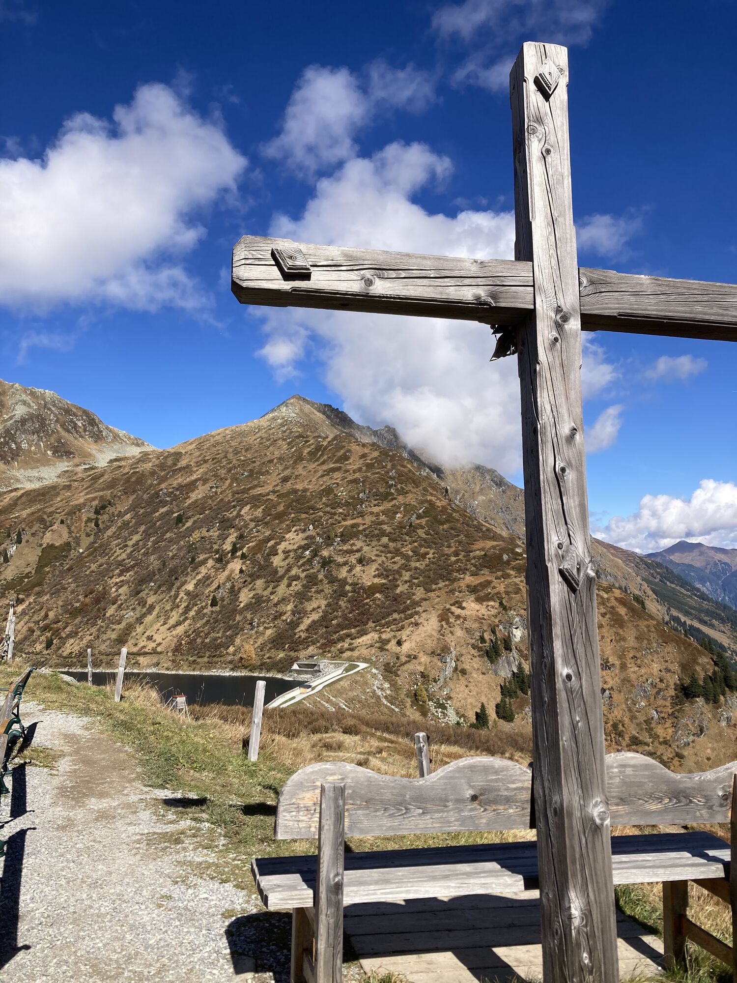
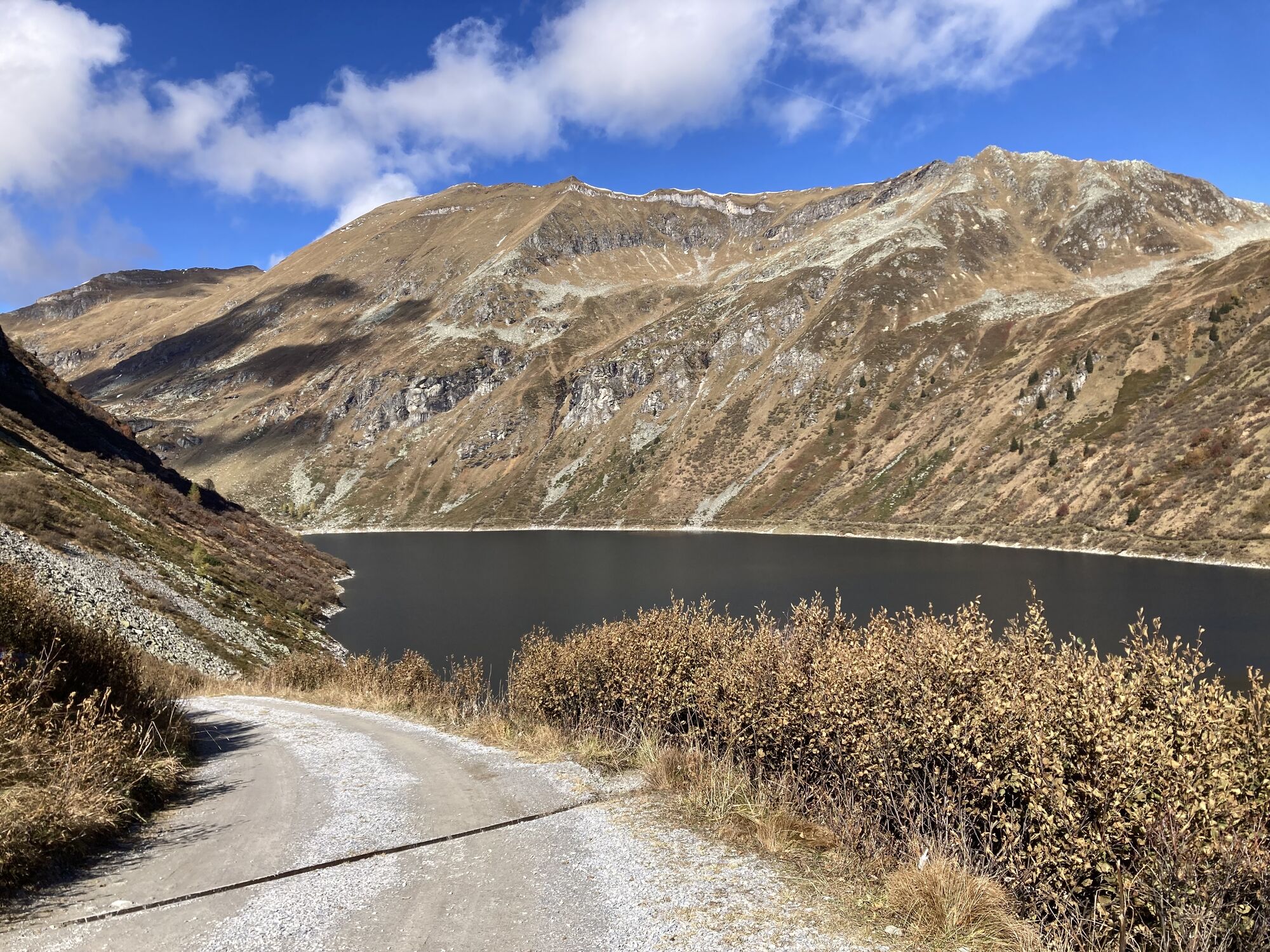
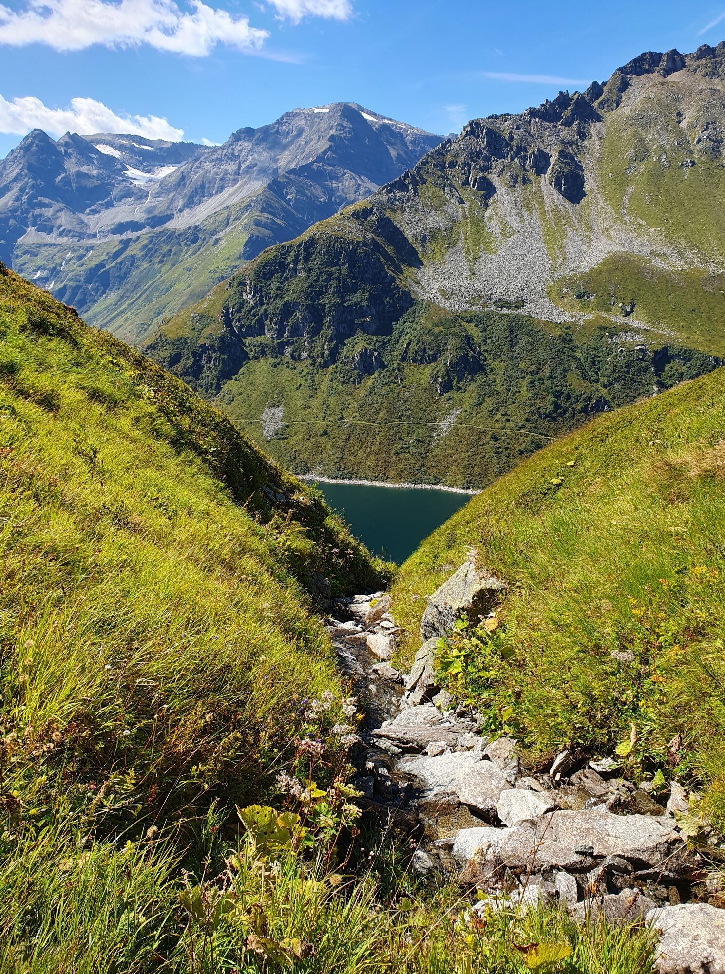
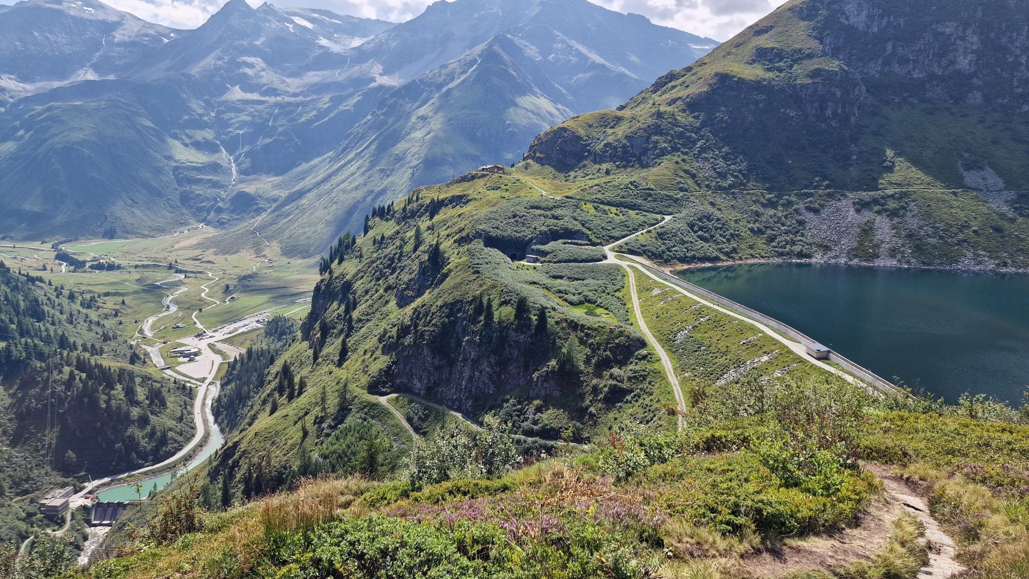
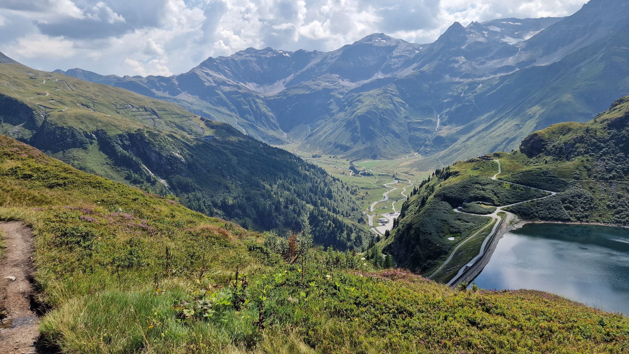
Today it gets rockier, stonier, higher: step by step, on this beautiful yet quite long high mountain hike, you approach the Hohe Tauern National Park with its mighty three-thousand-meter peaks. On the horizon to the west, you can spot the Hoher Sonnblick (3,105 m) with Europe’s highest, year-round staffed weather observatory, and right in front of you lies the 3,122-meter-high Schareck. Highlights of today's route include the Lower Bockhartsee, a high mountain reservoir lake at 1,812 meters. In the so-called Bockhart area, gold was mined until the mid-19th century using hydropower. Around the managed Bockhart hut, you have excellent chances to observe ibex, chamois, and marmots. The largest native butterfly, the Alpine Apollo, has also been sighted at the Miesbichlscharte. The stage destination—the Alpen Restaurant Valeriehaus—is located in Nassfeld, today's Sportgastein, which is also called “Tiny Tibet” because of its extraordinary beauty.
Almenweg History
The Hohe Tauern National Park was established starting in 1981 and is considered the largest nature reserve in Central Europe. The “Big Five” wildlife here include the ibex, marmot, bearded vulture, golden eagle, and chamois—all of which can be spotted on the Almenweg with a bit of luck. In total, 15,000 animal species and 3,500 plant species find protected habitats here. The national park covers 18 towns and 13 valleys in the state of Salzburg alone but also extends over parts of Carinthia and Tyrol. Its magical center is the 3,798-meter-high Großglockner, Austria's highest peak, surrounded by 265 three-thousand-meter summits.
Off the Path
The Gastein valley has four experience mountains: Fulseck in Dorfgastein, Schlossalm in Bad Hofgastein, and Stubner- and Graukogel in Bad Gastein. Highlights at Fulseck include the Spiegelsee and numerous power spots. In Bad Hofgastein, the Schlossalm cable car brings you straight into family fun with climbing routes and a playground (see stage 8). In Bad Gastein, visitors can enjoy several highlights on the Stubnerkogel, including the 140-meter long suspension bridge at 2,300 meters above sea level, the viewing platforms “Glocknerblick” and “Talblick,” and the rock path with further viewpoints. At the summit is also the highest street art work in Europe by Parisian artist Victor Ash. The Zirbenweg on Graukogel promises a natural experience with fantastic views. Anyone taking a rest day in Bad Gastein tomorrow can comfortably explore both Graukogel and Stubnerkogel by lift or cable car.

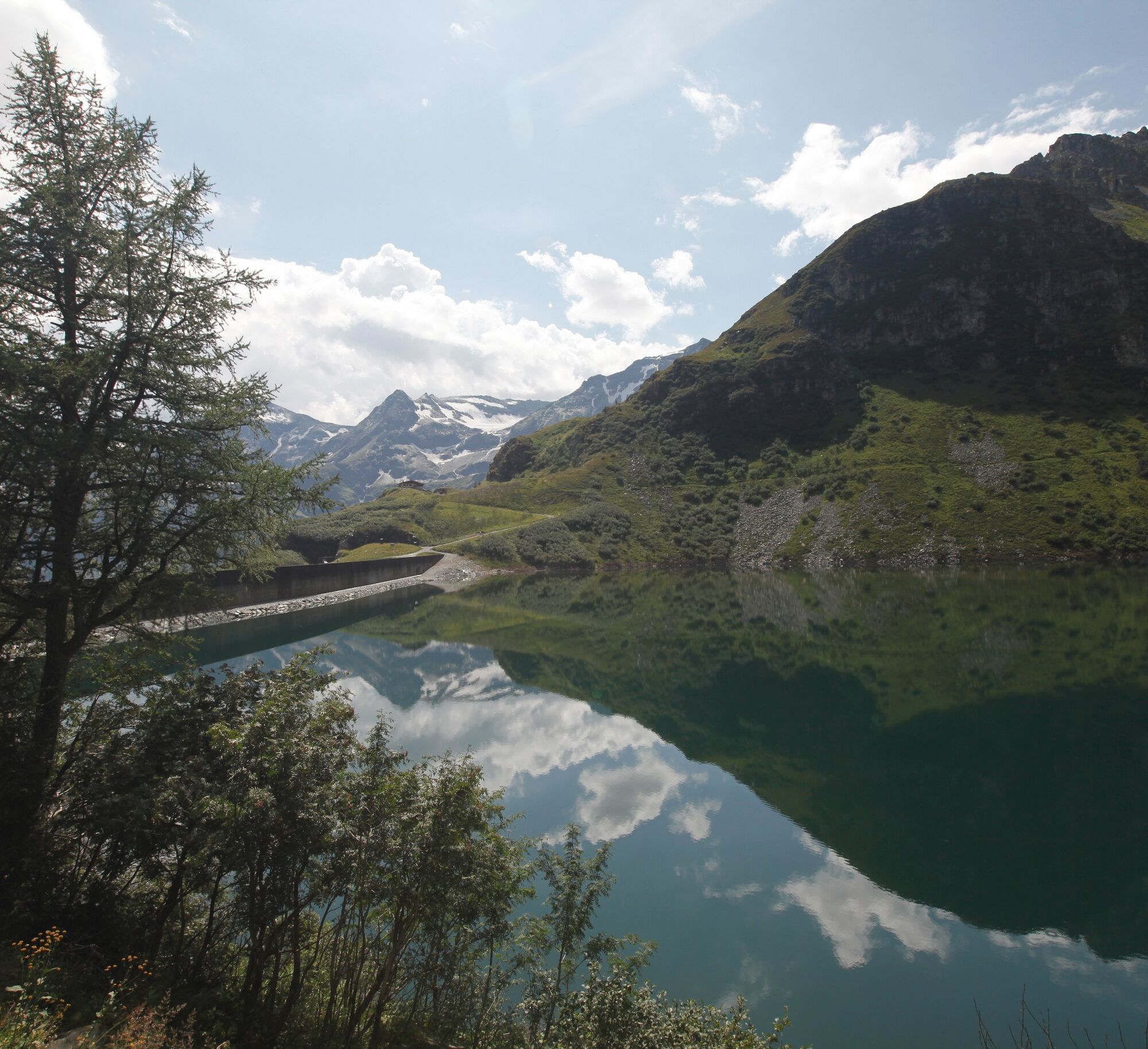
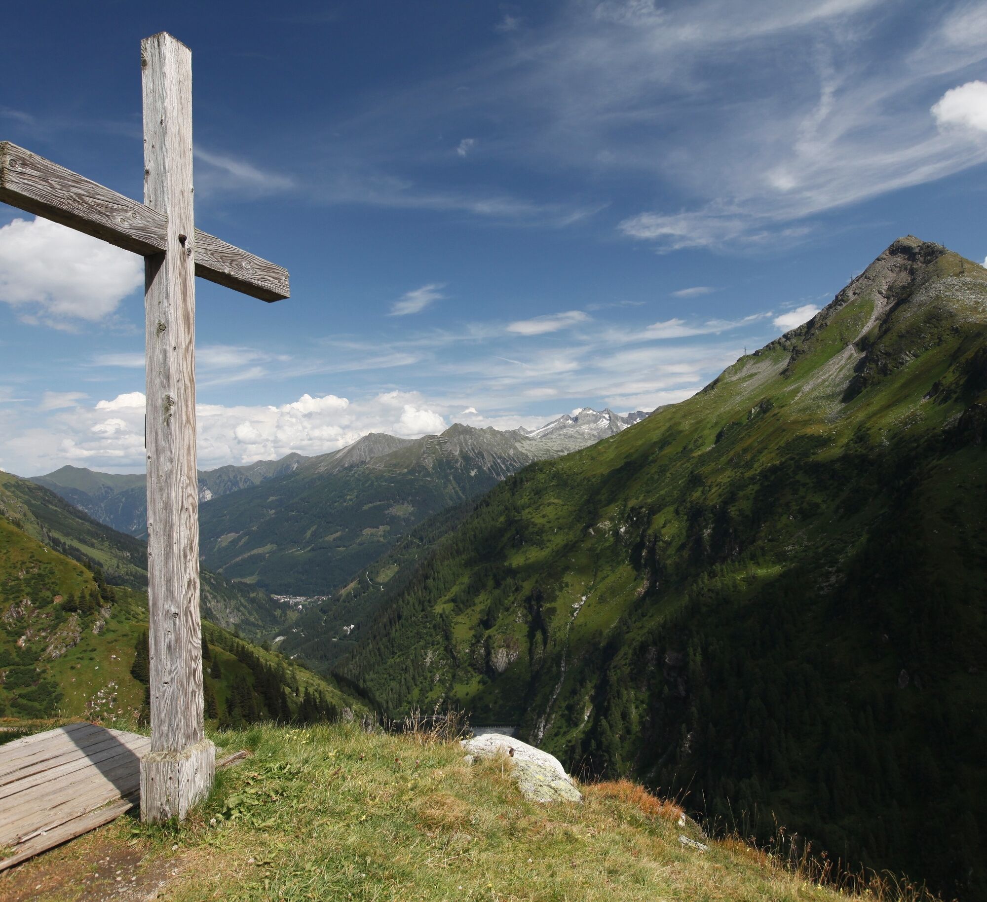
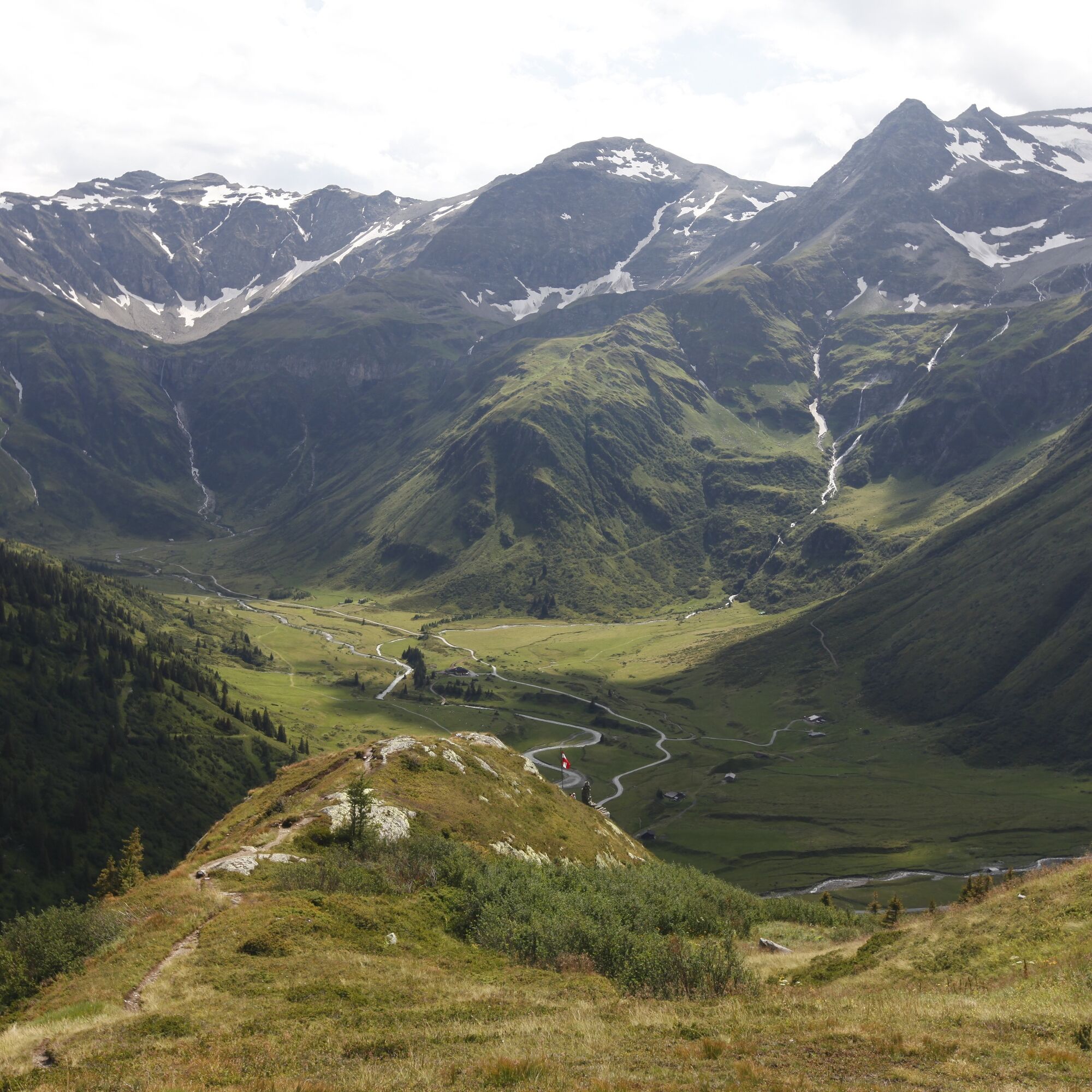
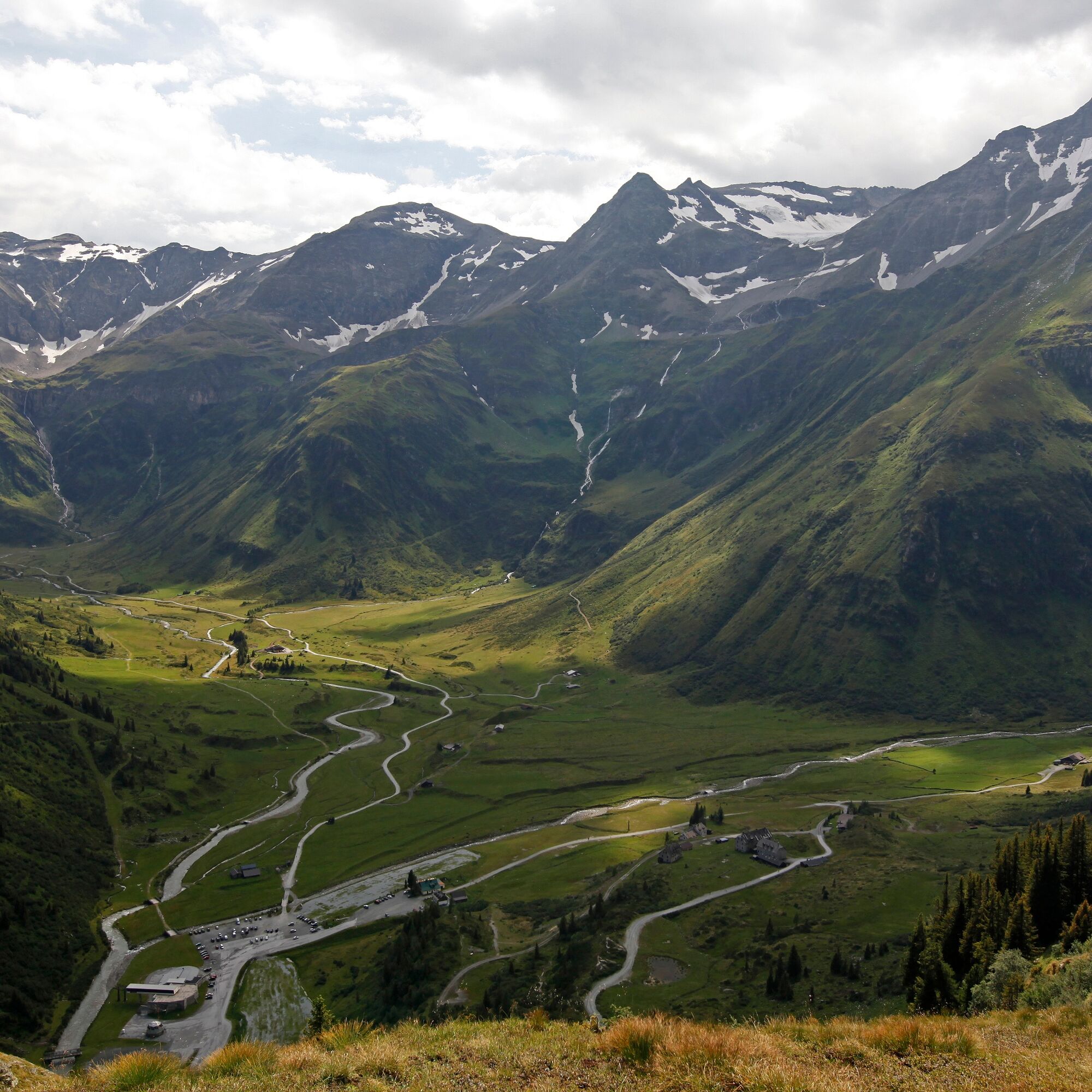
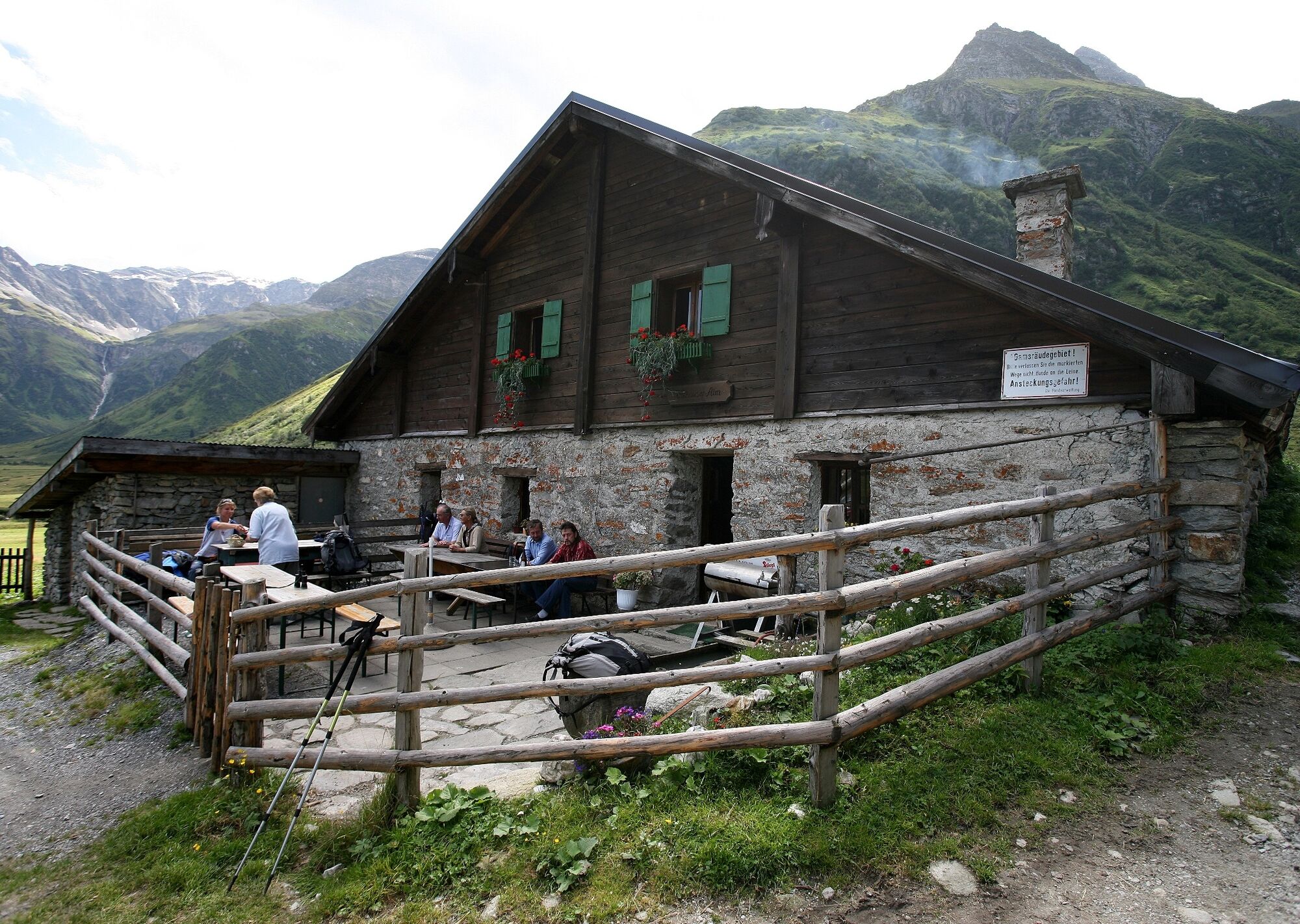
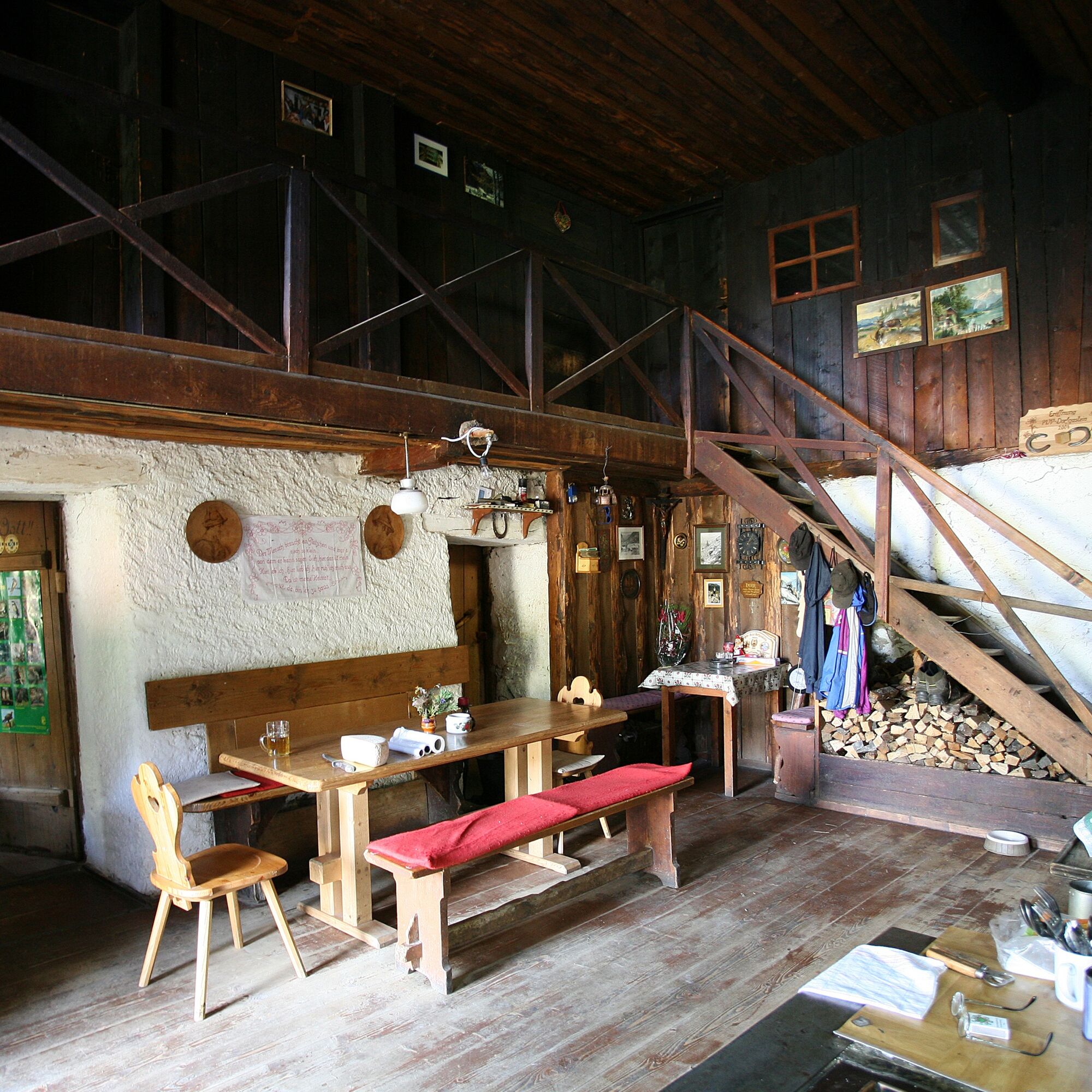
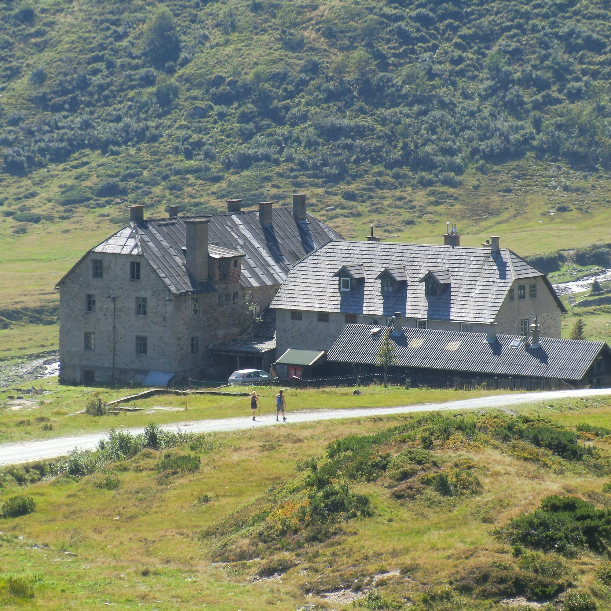

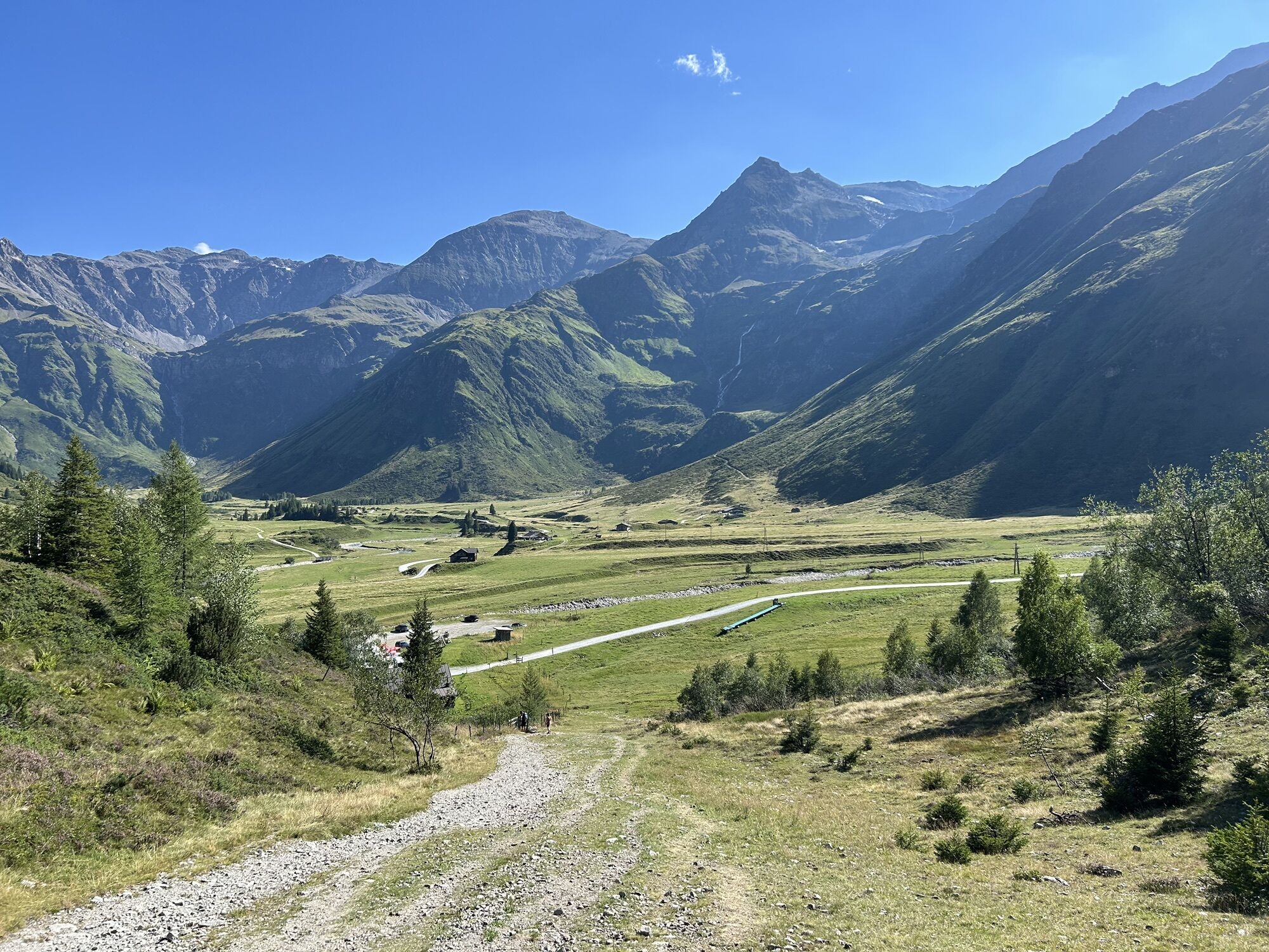
The starting point of the eighth stage is the historic Angertal valley. Clearly shaped by centuries of mining, many stations in this side valley tell legends about the precious gold and the life of the miners. From the Angertal hiking starting point, a wide forest road (No. 115A) runs further into the valley on the left side of the stream past the Angertal forest inn to the junction turning left towards Miesbichlscharte-Schattbachalm.
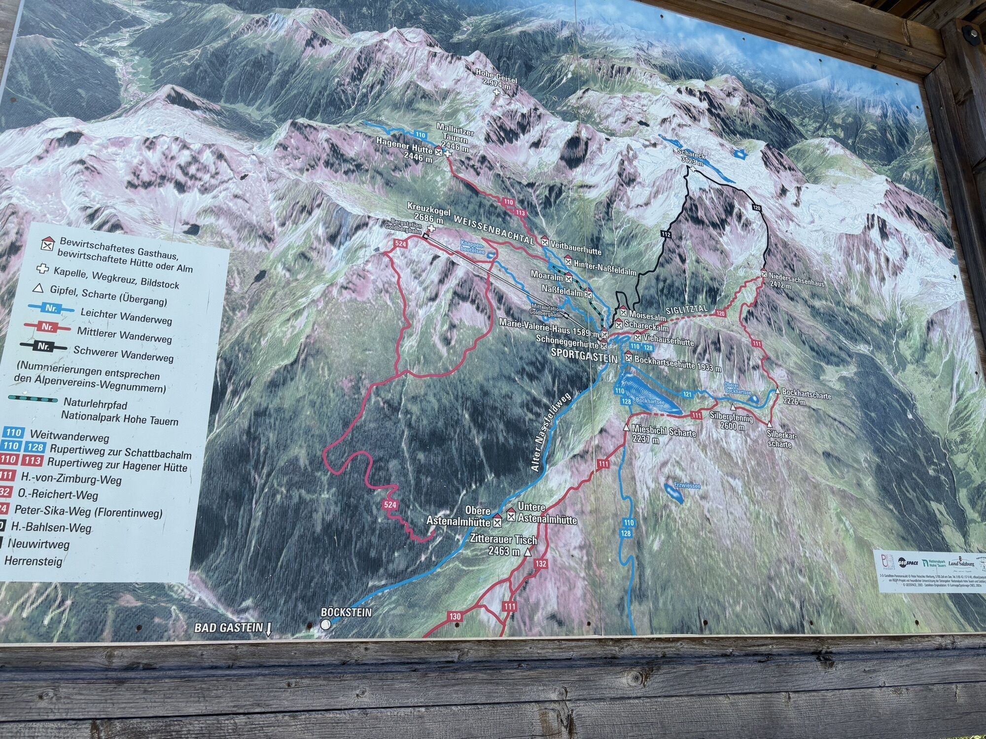
Through a dense mountain forest, the path (No. 128) steadily climbs uphill to the managed Schattbachalm at 1,683 meters, which can be reached in about 2 ¼ hours walking time. A short break is advisable here because the next managed hut, the Bockhartseehut, is about 3 hours of walking away and still requires mastering 554 meters of ascent.
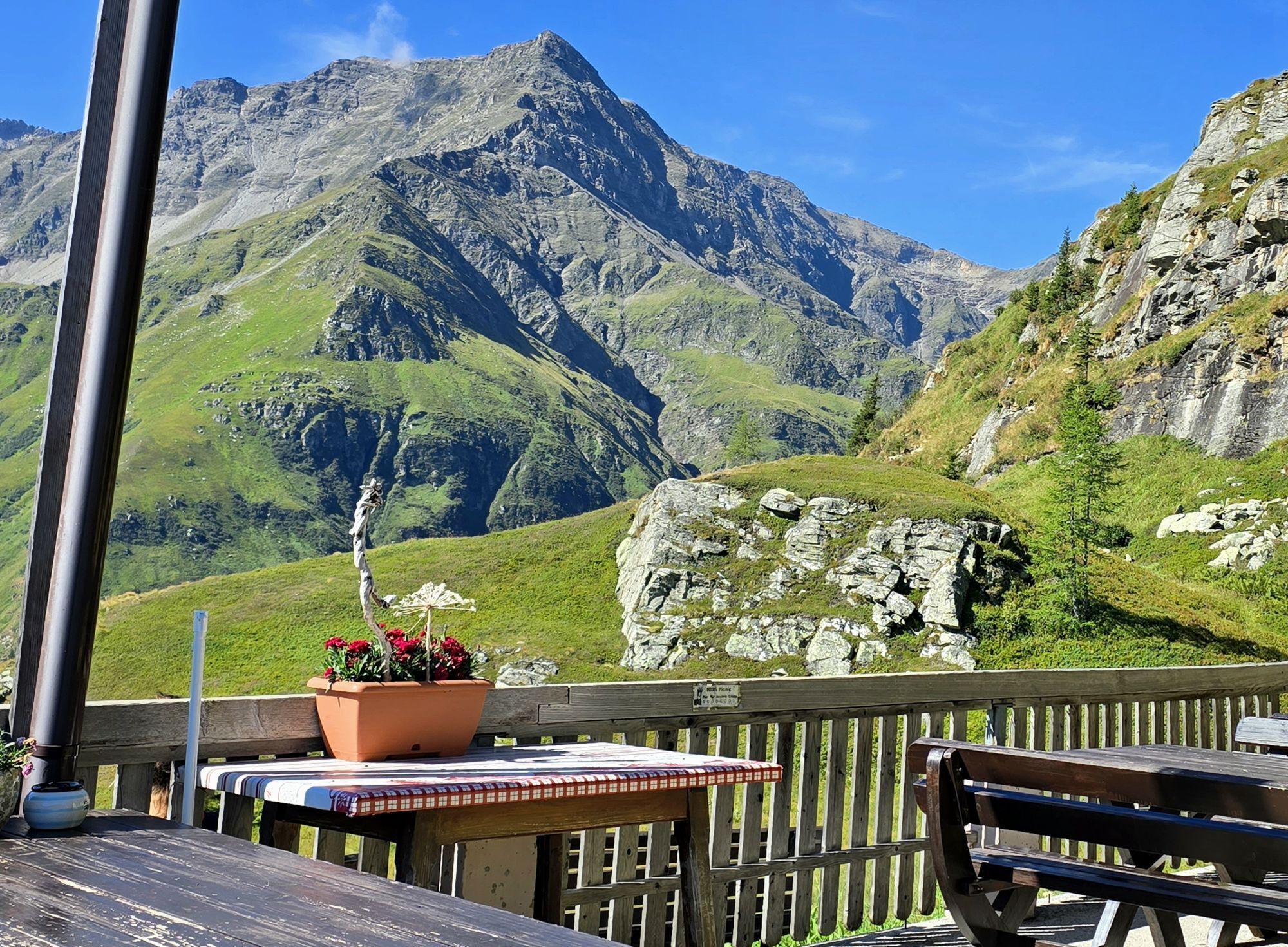
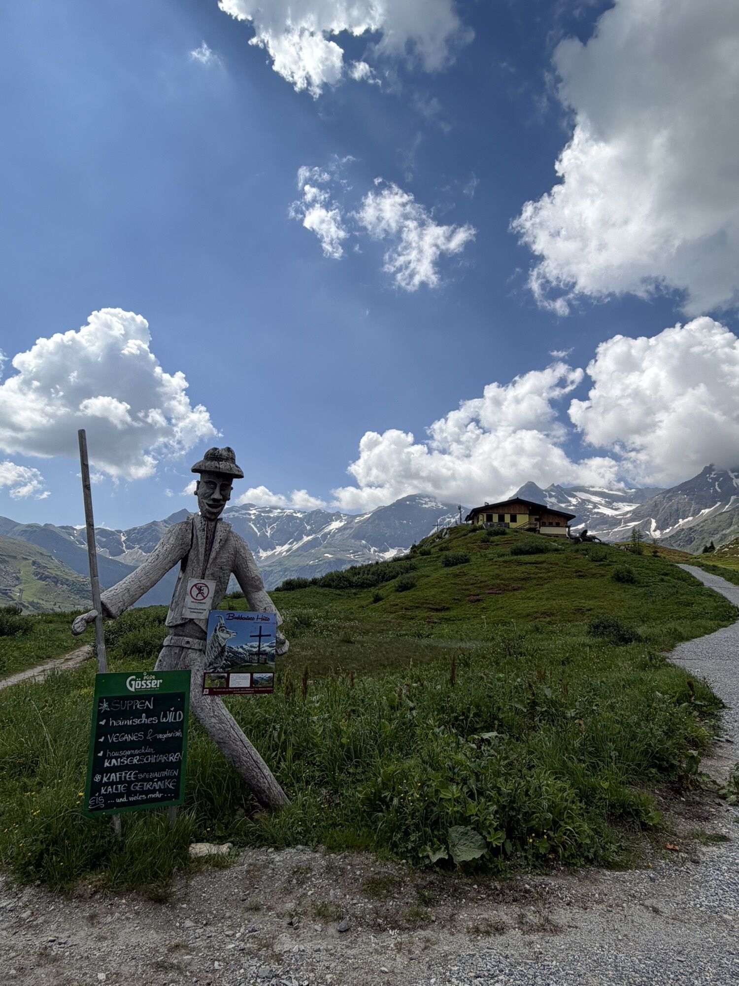
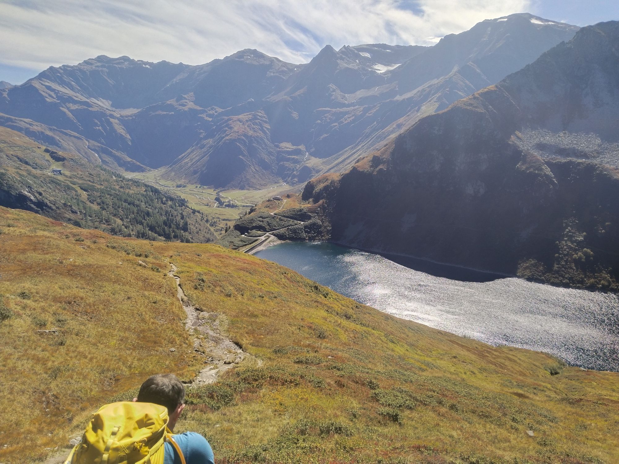
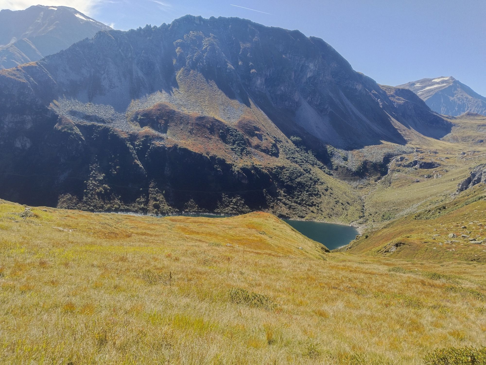
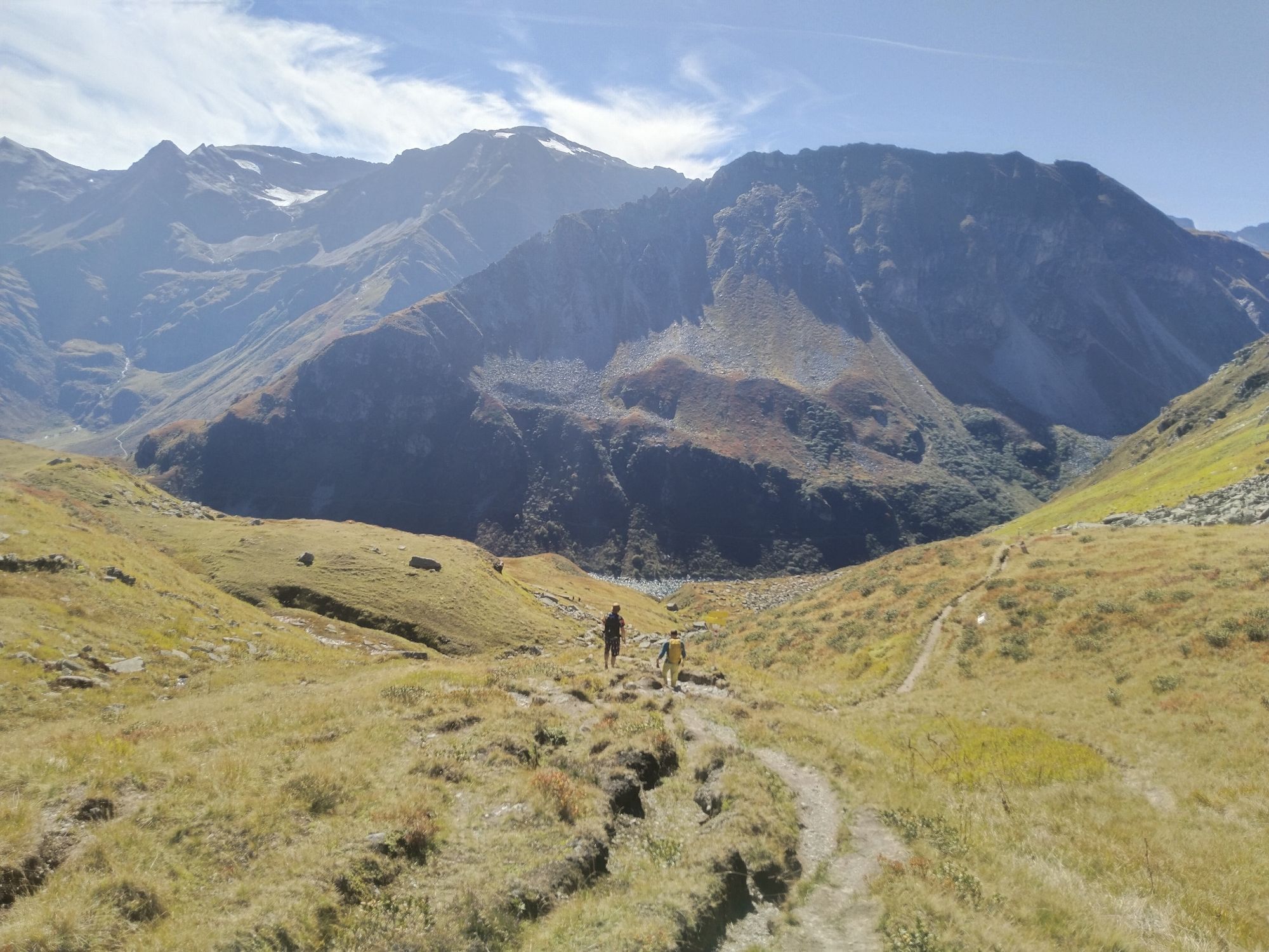
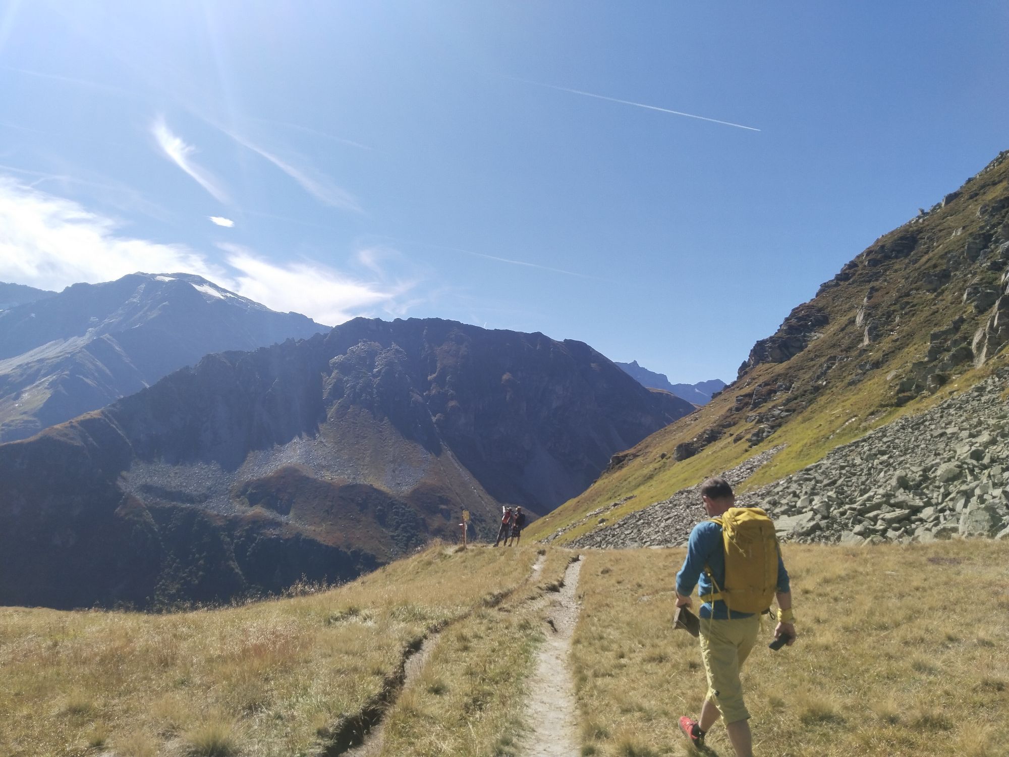
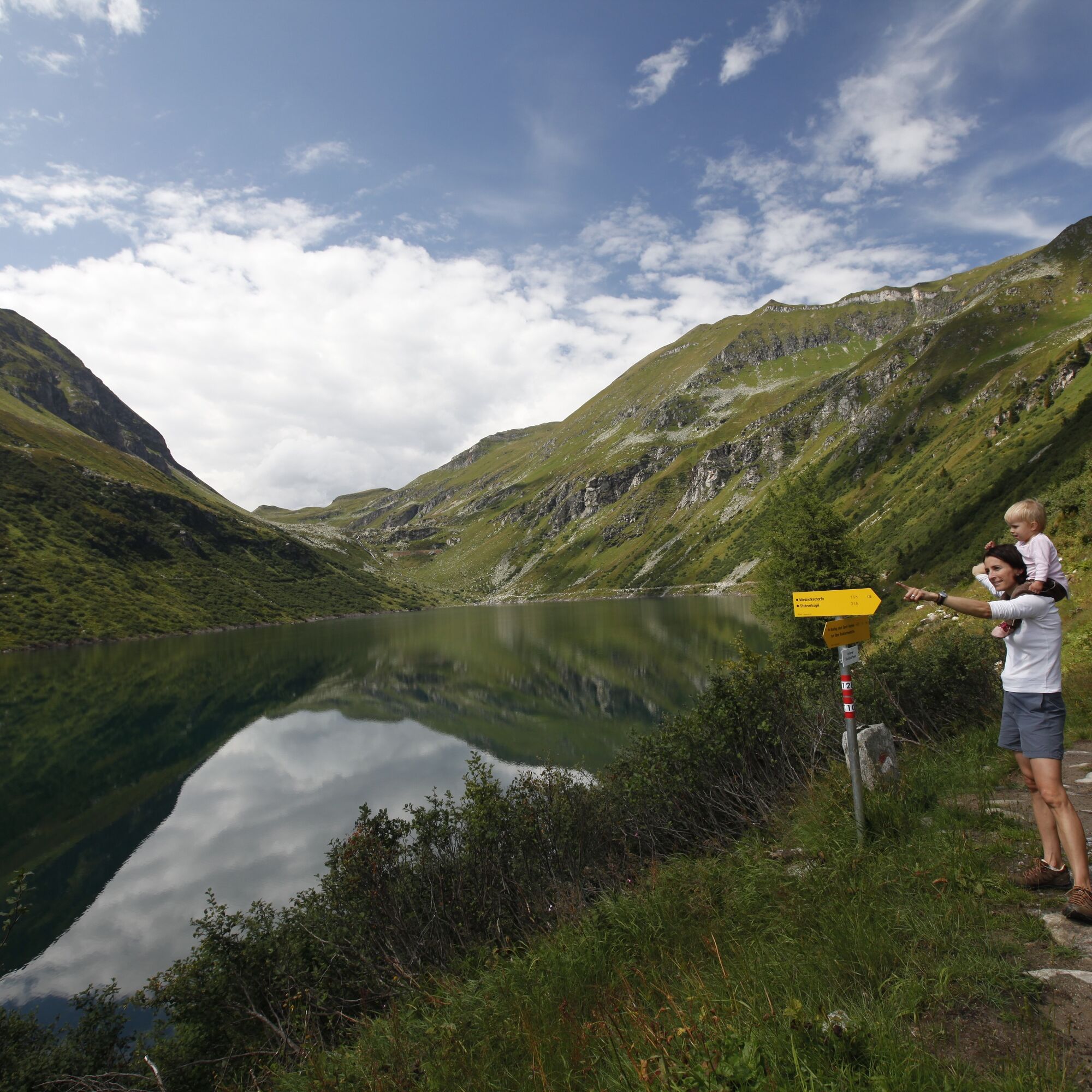
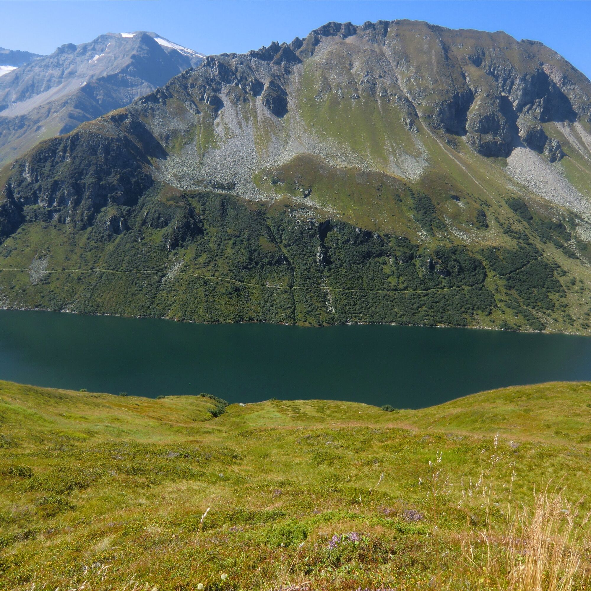
From the alp, path No. 110/128 leads through a huge archaic, partly block-filled cirque on the west side of the 2,246-meter-high Stubnerkogel uphill to the highest point of today’s stage, the 2,237-meter-high Miesbichlscharte. From there, it is all downhill and the Lower Bockhartsee is reached via path No. 110/128. The dam wall is crossed, and after a short ascent, the Bockhartsee hut (1,933 m) comes into view. Once there, it’s worth taking a short rest to enjoy the view of the surrounding three-thousanders.
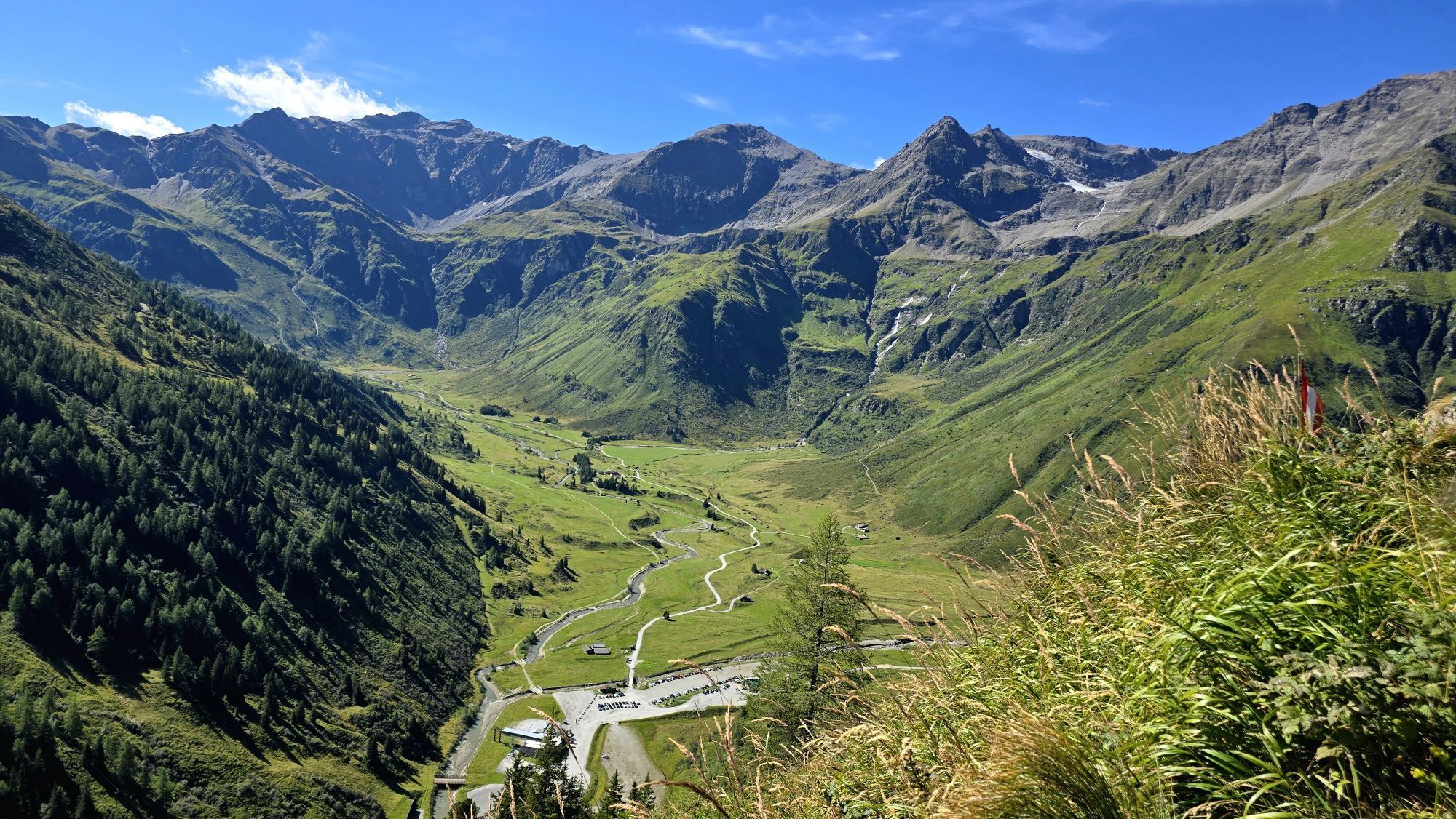
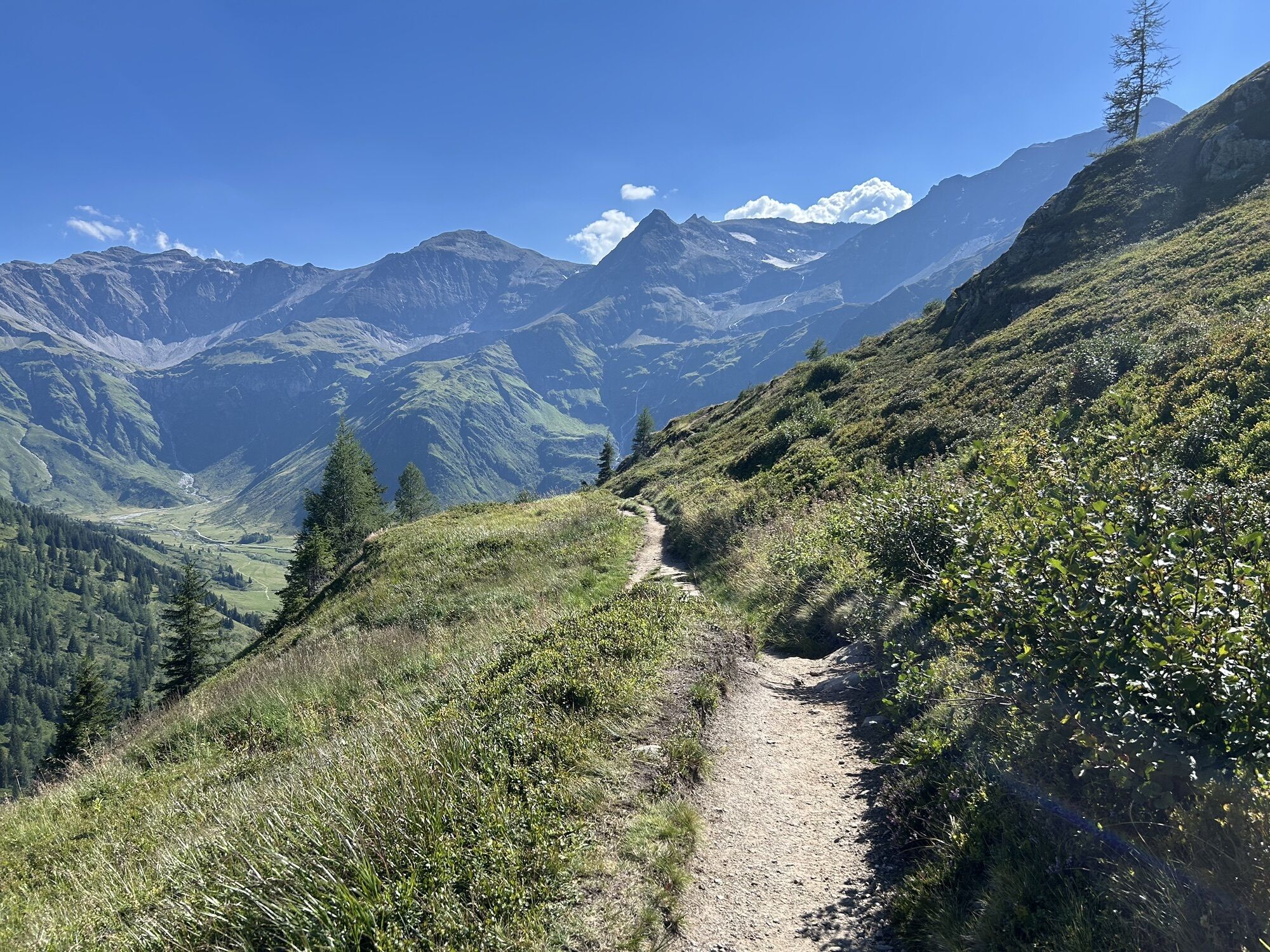
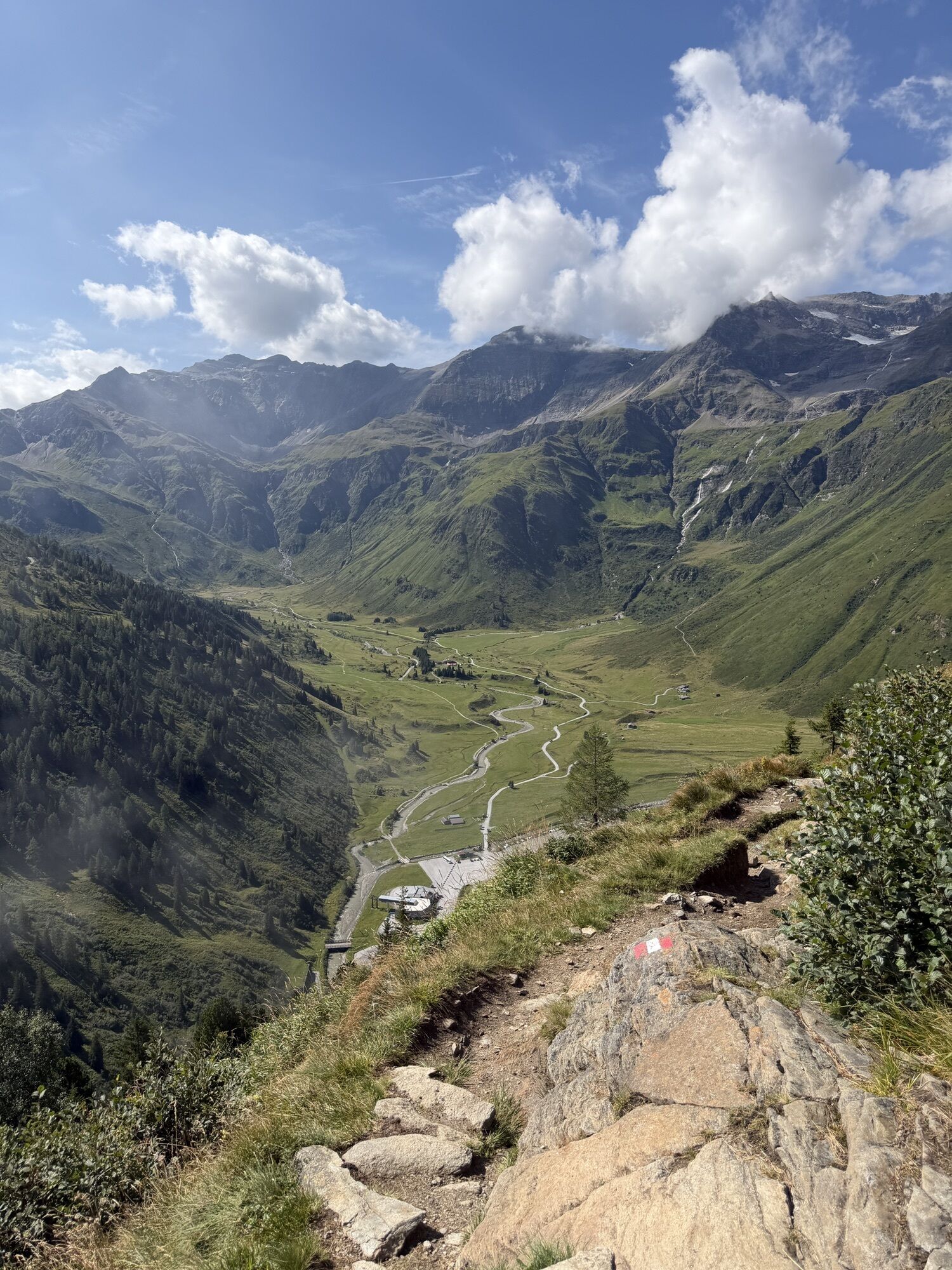
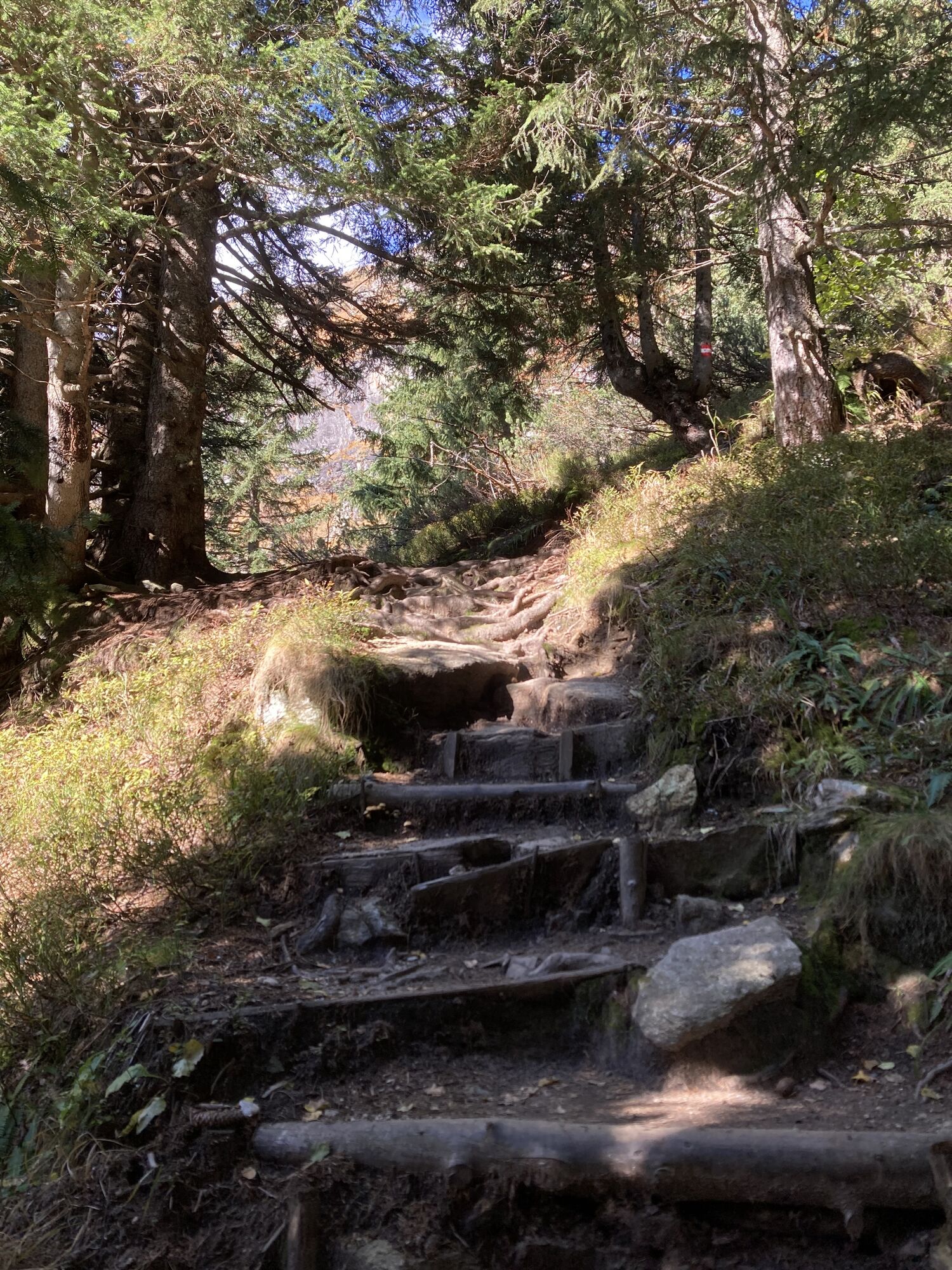
The approximately 45-minute descent past the hut down to the valley floor of Sportgastein follows an ancient mining path (path No. 110) and passes relics of the mining past, glacial polish, and quartz veins. The trail initially crosses a slope quite comfortably until it reaches a steep ridge, and you can already see the houses of Sportgastein below you. The trail winds down this steep ridge—partly with a rope railing—over roots, wooden and stone steps until it becomes flatter just before Sportgastein. On the valley floor of Sportgastein, there are numerous managed alpine farms, a National Park visitor center, and the eighth stage destination, the Alpen Restaurant Valeriehaus.
The Sportgastein plateau is part of the Hohe Tauern National Park and in winter a popular destination for winter sports enthusiasts and those seeking relaxation.
Places to Eat and Overnight Stays
Alpen Restaurant Valeriehaus, Sportgastein/Nassfeld (1,588 m), from late May to early November / Tel. +43 660 289 24 00 Email / accommodation / Logispartner Salzburger Almenweg Info and Booking Center by Trail Angels
Schattbachalm (1,683 m), (about 2 hours) early July to early September / +43 664 511 22 16, +43 664 454 55 62 Email / accommodation
Bockhartseehut (1,933 m), (about 5:45 hours) mid-June to mid-October, closed Wednesdays / +43 664 183 22 18 or +43 664 181 53 15 / Email
Viehauserhut (1,630 m), (after 6:30 hours / Nassfeld valley floor) / +43 0664 732 89 450/ Email
Schareckalm (1,620 m), (after 6:40 hours / Nassfeld valley floor) mid-June to mid-September / +43 664 3415 703 or +43 6433 7273 / Email
Moisesalm (1,620 m), (after 6:45 hours / Nassfeld valley floor) mid-June to mid-September / +43 664 9106 618 / Email
Pottingerhut (1,603 m), (after 6:45 hours / Nassfeld valley floor) mid-June to the end of September / +43 664 1815 188 / Email
Veitbauernalm (1,645 m), (after 7:10 hours / Nassfeld valley floor) early July to early September / +43 664 5346102 / Email
Nassfeldalm (1,605 m), (after 6:50 hours / Nassfeld valley floor) early June to the end of September / +43 6434 3425 or +43 680 2086650 Email
Numerous places to eat and stay in Bad Gastein, www.gastein.com Email / accommodation
Logispartner Salzburger Almenweg Info and Booking Center by Trail Angels:
DAS SCHIDER Aparthotel, more information at: https://www.dasschider.at/, Tel. +43 6434 93080
Here you can find everything about the right hiking shoes, perfect gear, and correct walking technique.
To ensure your day in the mountains becomes a truly unforgettable experience, we offer some tips for safe mountain travel.
The Angertal valley can be reached by public transport via the Postbus connection from the Bad Hofgastein bus station.
There is a large car park in the Angertal where you can leave your own car for several days. Please display the “Almenweg parking clock” from the brochure in the parked car!
T2
All further information about the Salzburger Almenweg can be found here.
Today you walk through the heart of the former gold mining area. Many names and places remind of this significant era in the Gastein valley. For instance, on the way to the Miesbichlscharte, you see on the right the Silberpfennig and the Erzwiessee: both owe their names to the namesake tunnel in the upper Erzwies area. To this day, slag heaps and entrances to old tunnels are visible. The Bockhartscharte was once called Pochkarscharte, a name derived from the hammering on the rocks in the Poch-Kar. On the way to the Valeriehaus, numerous relics point to the mining past, such as a demonstration power plant, former miners' houses, and the Imhof tunnel.
Kamery internetowe z trasy
Haitzingalm
Bad Gastein - Golfplatz
Bad Hofgastein - Schloßalm
Sportgastein
Bad Hofgastein - Akzent Hotel Germania
Bad Gastein - Hotel Schillerhof
Skizentrum Angertal
Schlossalm - Weitmoser
Jungerstube / Stubnerkogel
Schareck / Mölltaler Gletscher
Stubnerkogel Bergstation Südseite
Schlossalm Funslope
Gletscher - Eissee
Gletscher - Panorama
Bad Gastein
Bad Gasteiner Wasserfall
Haitzingalm
Uzyskaj wgląd Zawsze na żywo z ponad 9 500 kamer internetowych. bergfex Jako użytkownik Pro, możesz teraz zobaczyć odpowiednie kamery internetowe dla wielu wycieczek w aplikacji wycieczki od. Pozwala to na bezpośredni podgląd aktualnych warunków. Aktywności na trasie


Popularne wycieczki w okolicy
- 5,0
Silberpfennig, Salzburger Land/Österreich
średniWędrówka 13,8 km - 4,5
Gasteiner Höhenweg von Bad Gastein nach Bad Hofgastein
światłoWędrówka 8,58 km - 4,5
Mountain route from the Kötschachtal to the natural jewel Reedsee
średniWędrówka 12,5 km - 4,9
Türchlwand von der Bergstation Schlossalmbahn Bad Hofgastein, Österreich
średniWycieczki górskie 7,05 km - 4,8
Hohe Sonnblick Up
ciężkiWędrówka 9,14 km - 4,8
Wanderung zur Schwussner Hütte
światłoWędrówka 8,07 km - 4,8
Rifflscharte - Kolmkarscharte - Bockhartscharte - Sportgastein
średniWędrówka 13,5 km - 4,7
Bad Gastein Stubnerkogel-Zittrauer Tisch Rundwanderung
średniWędrówka 18,6 km - 4,6
Hüttenkogel - Graukogel von der Bergstation
średniWycieczki górskie 4,68 km - 4,6
Bahnhof Bad Hofgastein nach Bahnhof Bad Gastein
średniWędrówka 13,0 km
Wędrówki i tropienie


Nie przegap ofert i inspiracji na następne wakacje
Twój adres e-mail została dodana do listy mailingowej.





