


Salzburger Almenweg - stage variant 7a: Schlossalm mountain station – Gadaunerer Hochalmen – Angertal
Poziom trudności: T3


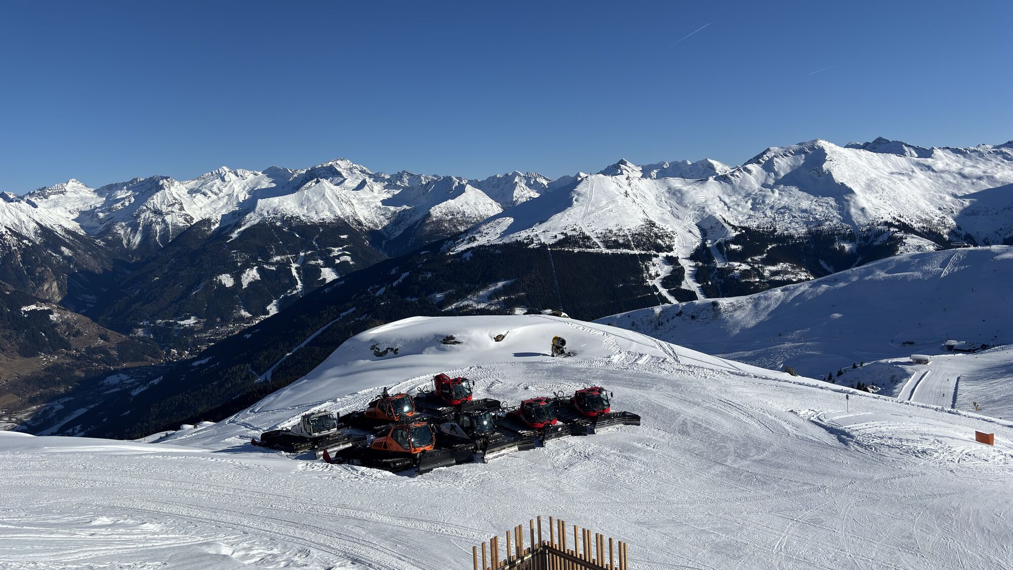
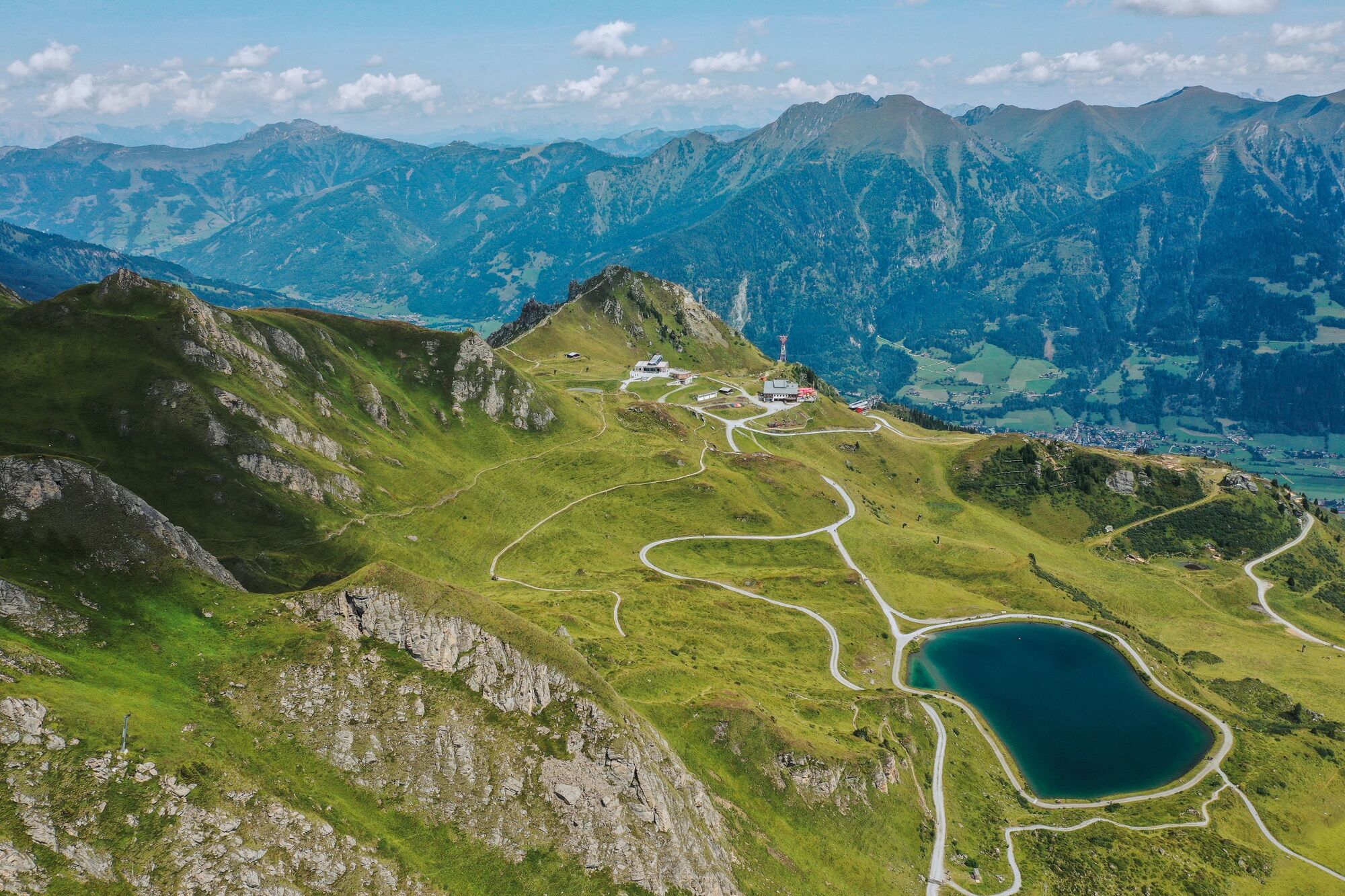
From just over 2,000 meters above sea level, the approximately three-hour descent into the Angertal valley begins. For today, make sure to pack a snack, as there are no refreshment stops along the way....
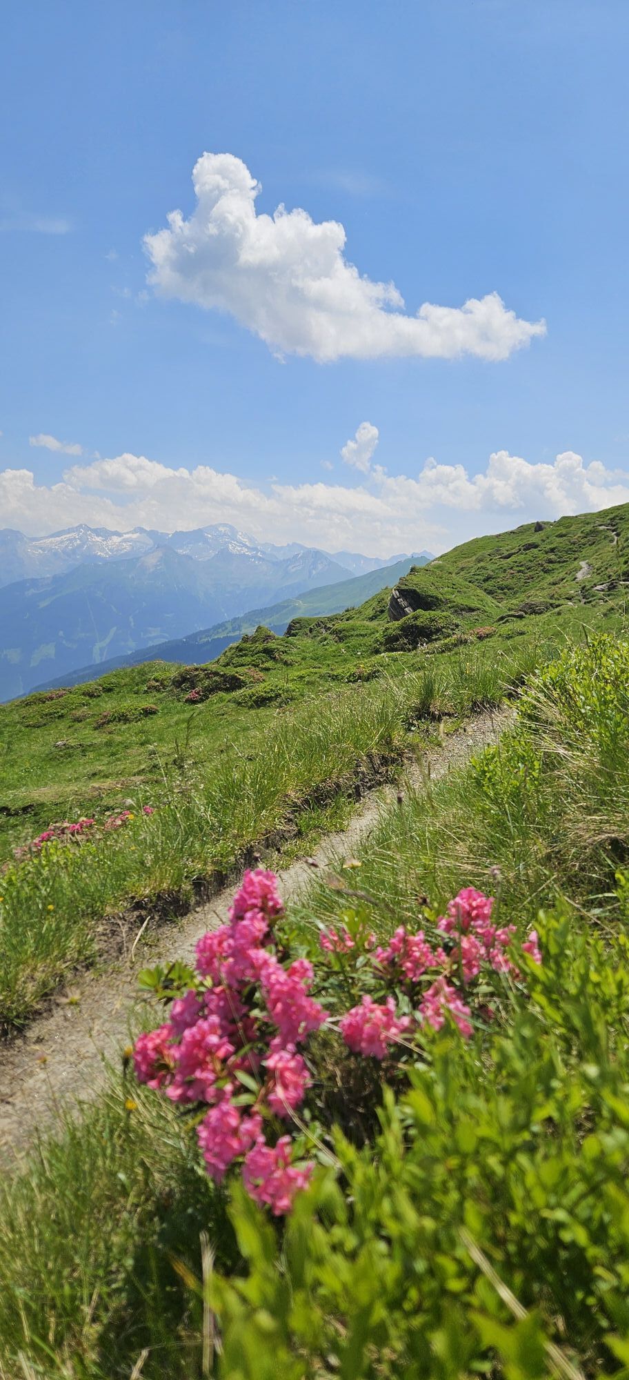
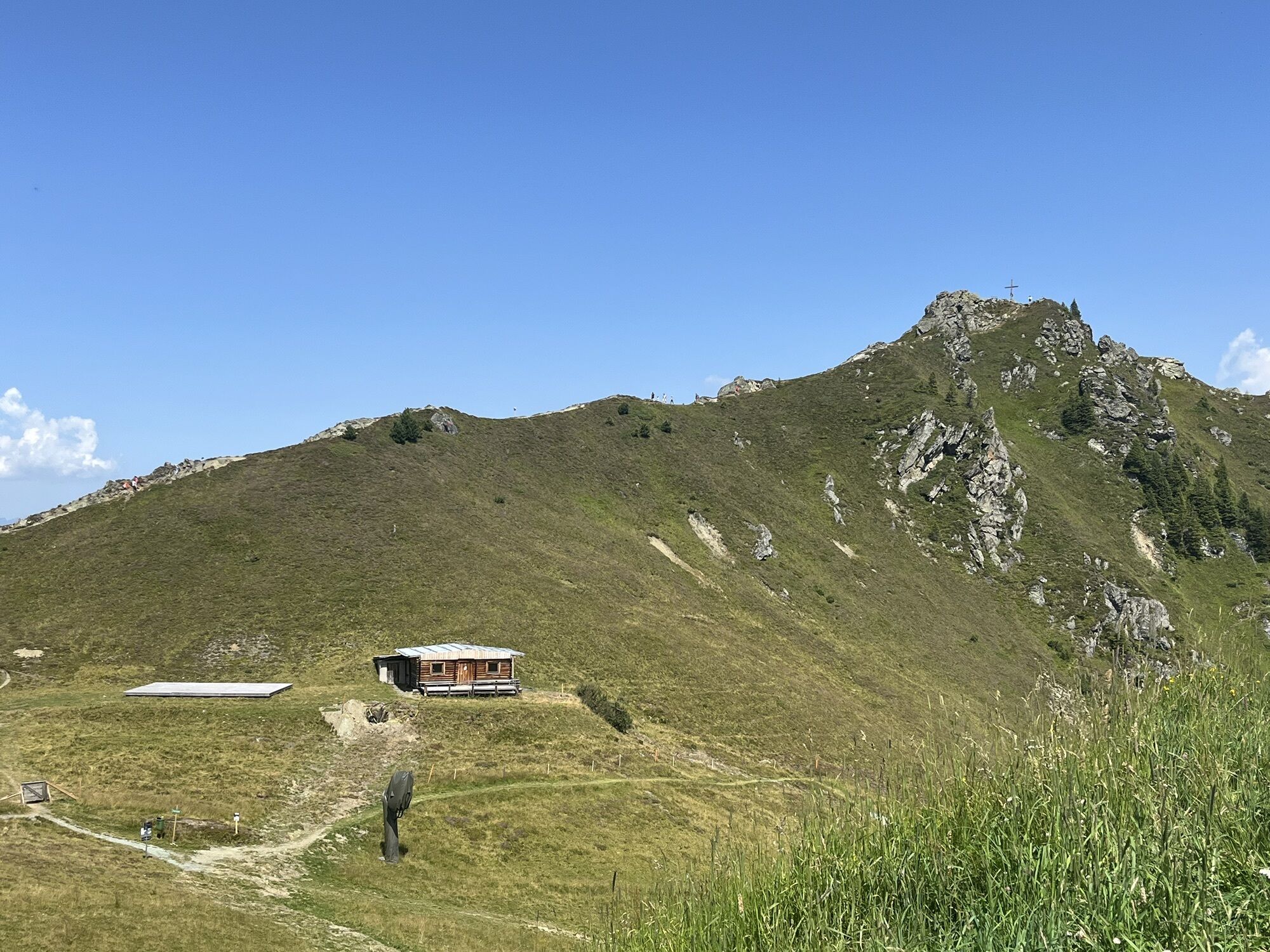
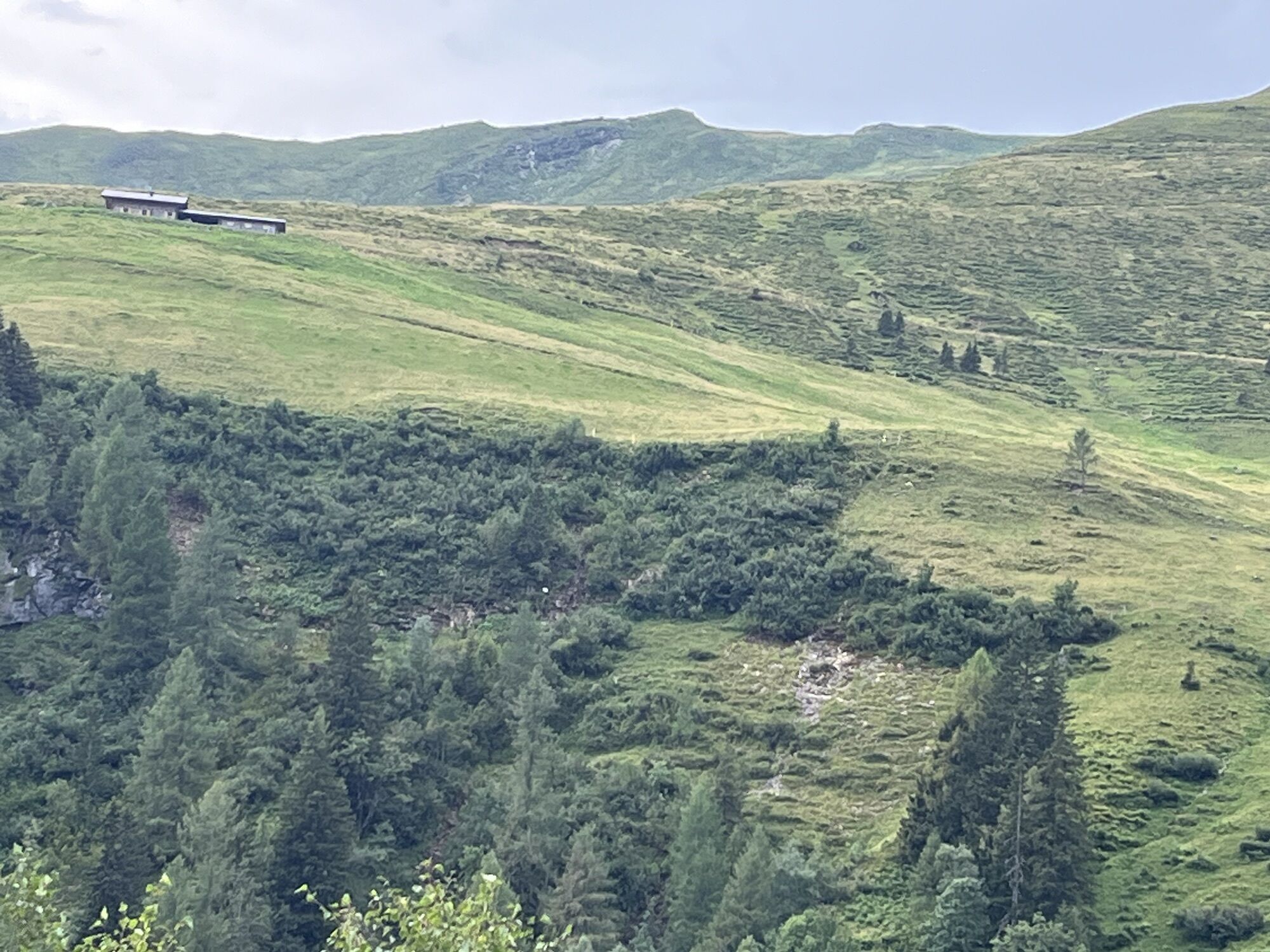
From just over 2,000 meters above sea level, the approximately three-hour descent into the Angertal valley begins. For today, make sure to pack a snack, as there are no refreshment stops along the way. The Salzburger Almenweg leads on well-maintained forest roads straight through the Schlossalm ski area: hikers find themselves in the realm of winter sports enthusiasts here. Where cows graze in summer to maintain and preserve biodiversity, the alpine landscape transforms in winter into perfectly groomed slopes. With a bit of luck, you might also spot bearded vultures in the sky, which were reintroduced to the Hohe Tauern National Park in the 1980s. A second route variant (7a) leads via the Gadaunerer Hochalm into the Angertal valley. However, this path on the black-marked Hermann-Kreilinger trail requires surefootedness and a head for heights. The Gadaunerer Hochalm with its managed huts at 1,800 meters above sea level is one of the true natural paradises in the Gastein valley: especially in early summer, a multitude of flowers grows here, which may rightly be called the botanical treasures of the Alps. The alpine pastures are a wonderful example of how traditional alpine farming has been lived in the Salzburger Pongau for generations and centuries.
Along the path
The less frequently meadows are mowed, the richer is their flower variety. The alpine pastures of the Gadaunerer Hochalmen are especially a true floral paradise in early summer. Those who consciously take their time will discover some rare flowers here: among them are the yellow globeflowers, also called “butter dumplings” in SalzburgerLand, the bearded bellflower in white and violet, arnica, or the daisy speedwell. But beware: please only look at all these flowers, do not pick them!
Almenweg refreshment
The Gadaunerer Hochalmen on route 7a consist of Baldauf hut, Präer hut, Felding hut, Stubner hut, and Toferer hut and are truly tempting. Here, dedicated alpine farmers serve the best alpine delicacies: from homemade wood-oven bread with alpine cheese and bacon to lemon balm syrup and house sausages, as well as fried dough and cake.
Main stage 7
Route variant 7a
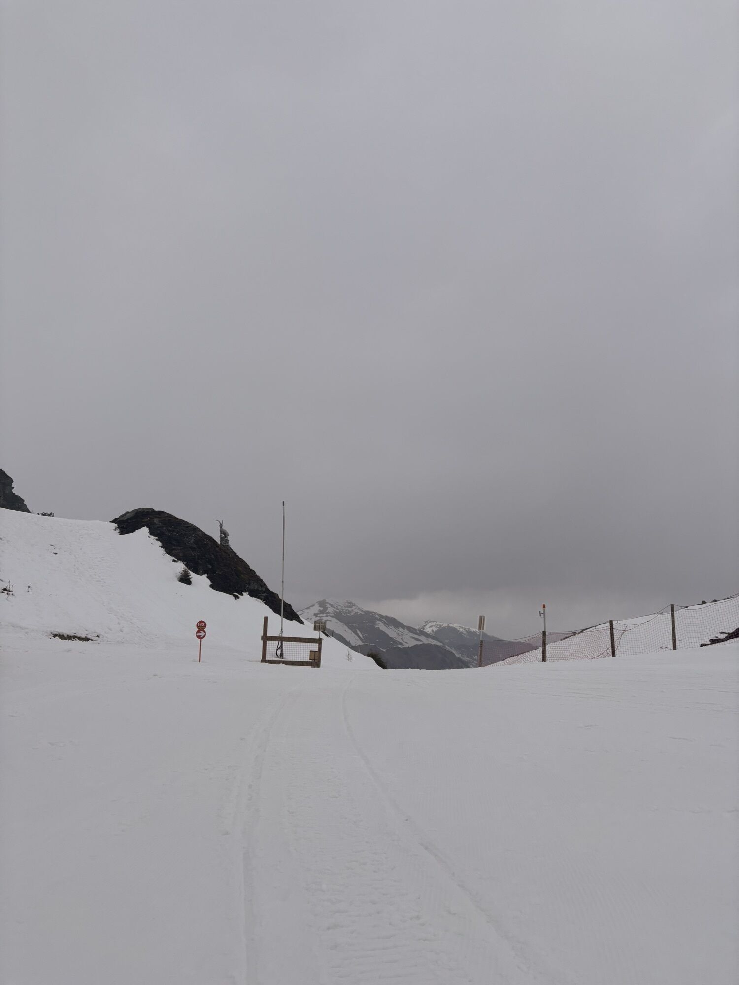
Note: the Hermann-Kreilinger trail – an old connecting path through the pasture area of the Schloss high alpine pasture to the managed Rockfeldalm – is considered a "difficult mountain path" (black dot) and requires surefootedness and a head for heights.
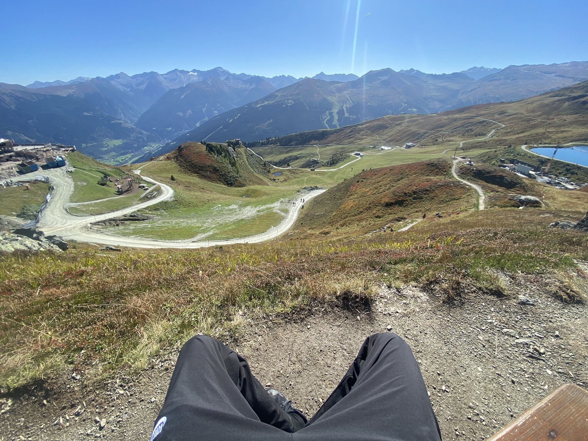
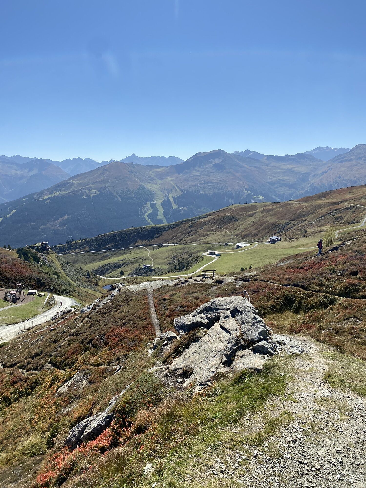
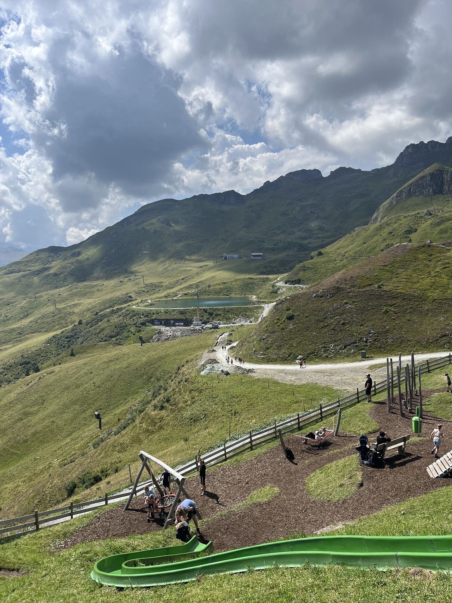
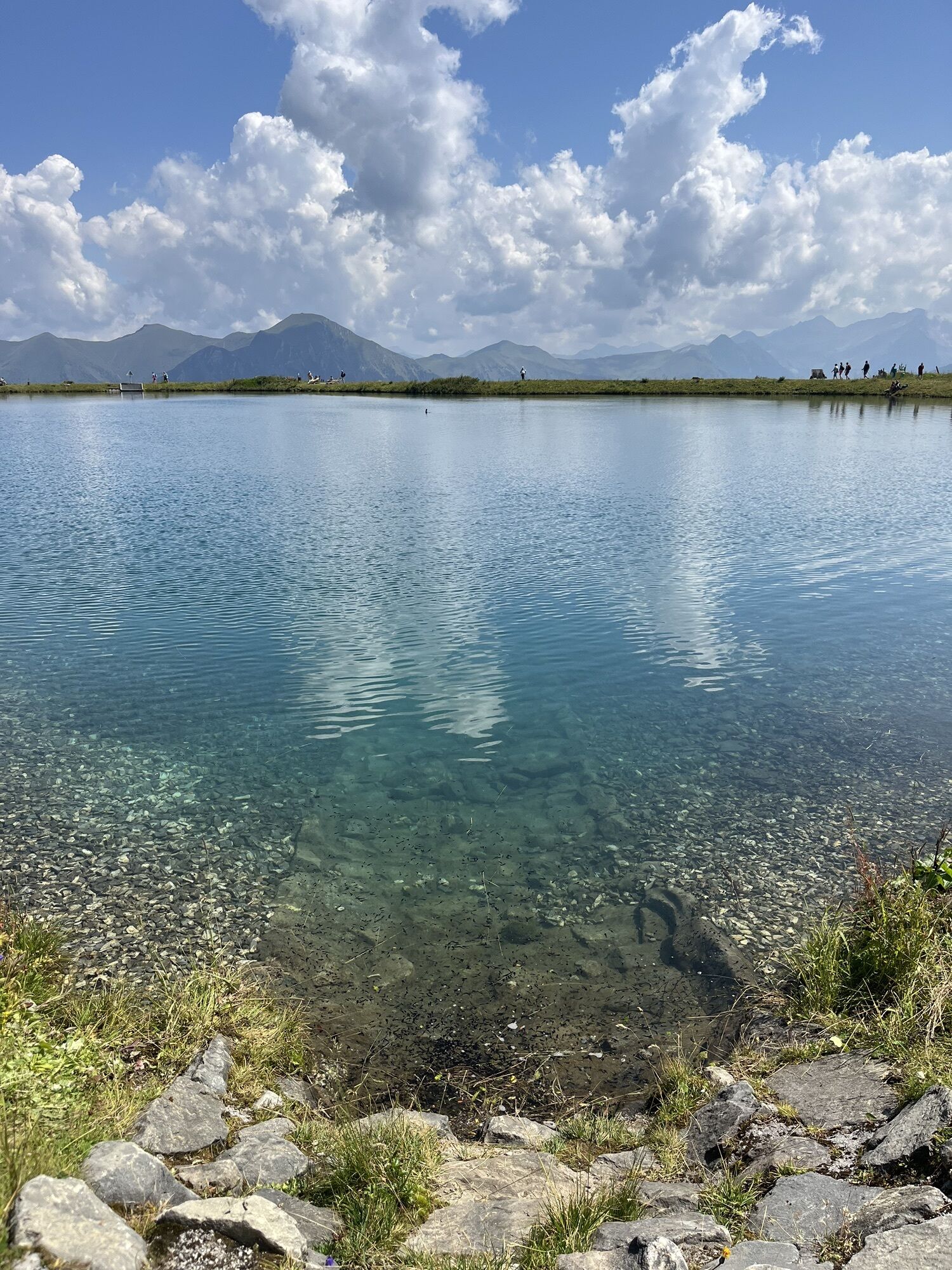
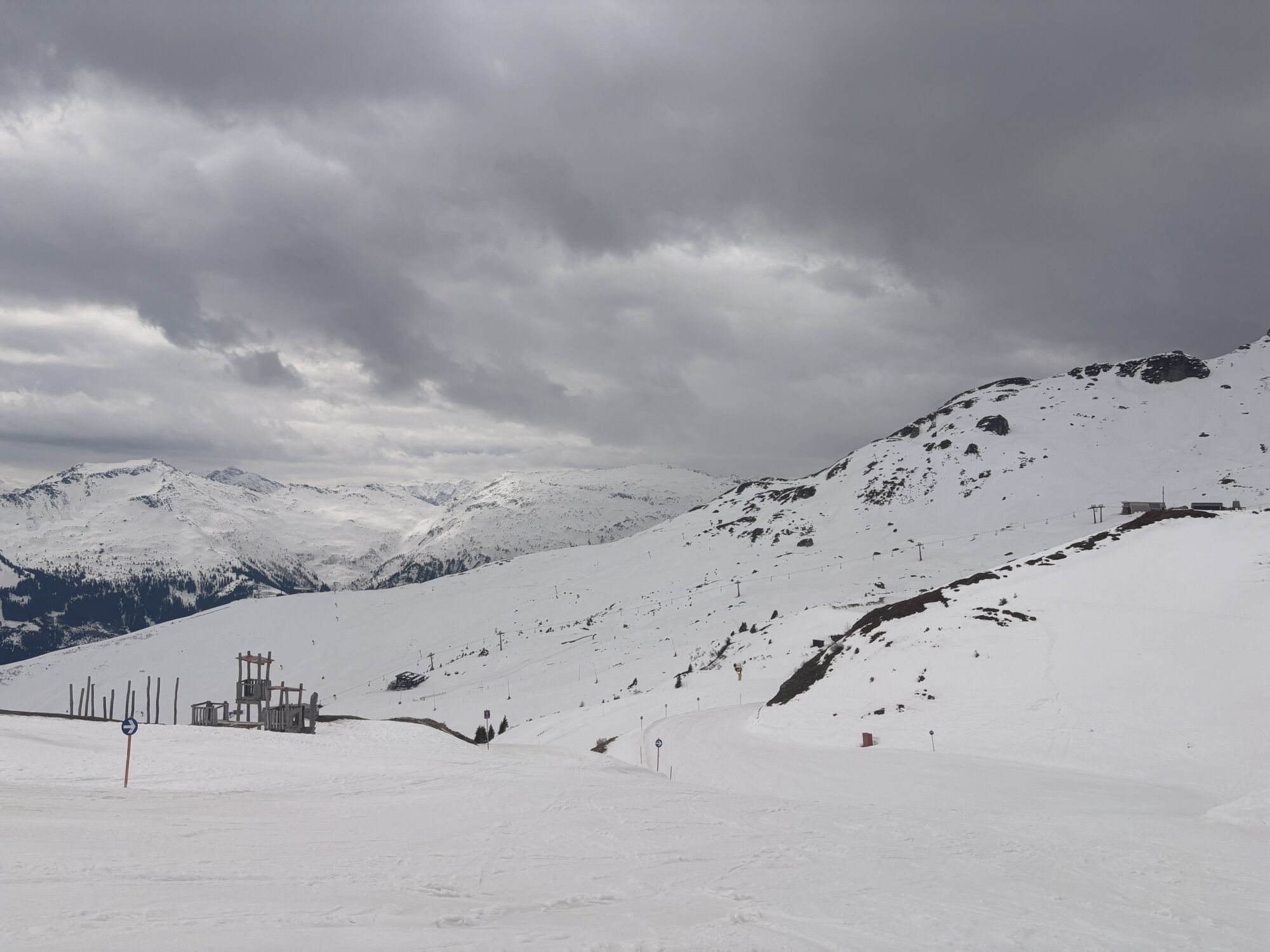
At the start at the Schlossalm cable car mountain station, the western track is chosen, unlike the main route which takes the eastward forest road. The nearby lake is circled via the eastern shore, and through a large cirque, the valley station of the ski lift leading to the Hohe Scharte is reached. The route continues along a forest road through the large cirque at a constant altitude southwards to the ridge of the Ochsenriedel.
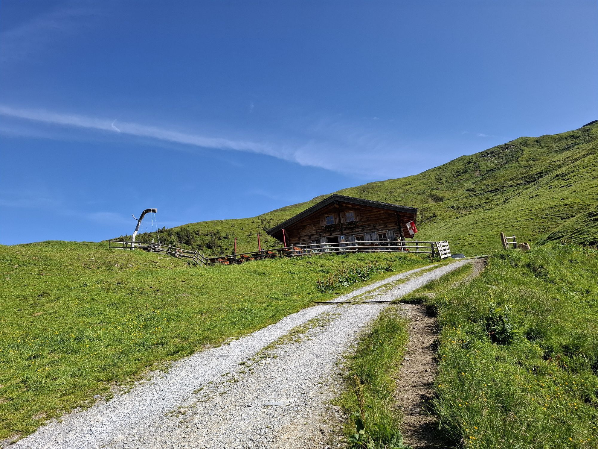
Here begins the steep and difficult descent via the Hermann-Kreilinger trail: now it goes steeply south down about 200 meters in elevation before crossing the very steep Lafen meadows to the west, where the managed Rockfeldalm is reached. The hardest part is now done, and a refreshment at the alpine hut is truly deserved. Looking back at the steep Lafen meadows deepens respect for the efforts of the mountain farmers who cultivate these steep slopes.
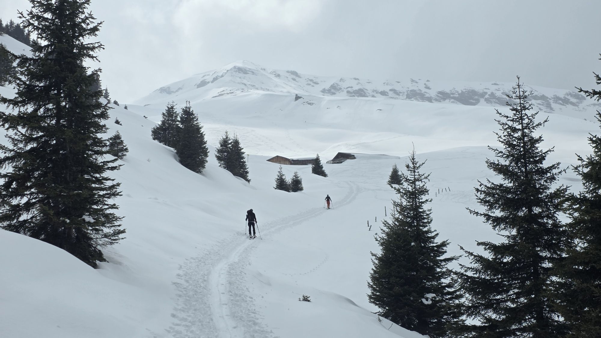
After a short descent from the Rockfeldalm, the innermost valley basin is crossed on a hiking trail before the ascent begins via path no. 115 to the Gadaunerer Hochalm. The view from the opposite Rockfeldalm to the idyllic Gadaunerer Hochalm already hints at what hikers can expect there: smoky bacon, tender butter and hearty cheese! The high pastures take hikers back to times long past: countless hay barns line the route and bear witness to the centuries-old tradition of alpine farming at impressive altitude.
Arriving at the lush mountain meadows of the Gadaunerer Hochalm at about 1,800 meters above sea level, an impressive view opens up to the Türchlwand (2,577 m) and the Sieben Spitz (2,488 m). After about 2.5 hours of walking time, it's time to stop for refreshments: here, three huts tempt with the finest homemade alpine delicacies and a wonderful view towards the valley.
The descent into the Angertal takes place comfortably on a wide forest road (path no. 115A) through dense spruce forests – a long bend can be shortened via hiking path no. 115B. At the bottom, the difficult variant 7a merges into the main route of stage 7: hikers walk on the right above the Lafenbach stream along hiking path no. 115B downhill to the stage destination at the valley stations of the mountain lifts in the Angertal.
The stage destination also offers hikers a glimpse into the past. In the Erzwies area, miners once extracted treasures from the ground. For accommodation, the Alpenpension Lackenbauer, about 1.4 kilometers downhill, offers a summer option. Overnight stays are also possible in Bad Hofgastein.
Refreshment and accommodation options (variant 7a)
Rockfeldalm, (1,822 m, approx. 1.5 hrs) mid-June to end September / T. +43 664 186 99 34 / E
Präer hut (1,800 m), (approx. 2.5 hrs) early July to end August / T. +43 664 896 76 48 alpine summer hut / E
Felding hut (1,800 m), (approx. 2.5 hrs) mid-June to end September / T. +43 664 218 42 90 alpine summer hut / E
Numerous refreshment and accommodation options in Bad Hofgastein/Angertal, www.gastein.com E / Ü
Logis partner Salzburger Almenweg Info and booking center by Trail Angels:
Hotel Blü, more information at: https://www.hotelblue.at/, T. +43 6432 6230
Sendlhofer’s, more information at: https://sendlhofers.com/, T. +43 6432 38380
Haus Friedrichsburg, more information at: https://www.haus-friedrichsburg.com/, T. +43 6432 6290
Hotel Alpina – Bad Hofgastein, more information at: https://thermenhotels-gastein.com/de/2/hotel-alpina, T. +43 6432 4875
Hotel Völserhof, more information at: https://www.voelserhof.com/, T. +43 6432 8288
Here you will find everything about the right hiking shoe, perfect equipment, and the correct walking technique.
To make sure your day in the mountains really becomes an unforgettable experience, we give you some tips to keep you safe on the mountain.
Bad Hofgastein has an ÖBB train stop.
The easiest way to reach the Schlossalm mountain station is by the Schlossalm cable car.
Your own car can also be parked for several days at the Schlossalm cable car parking lot or at the Angertal ski center. Please leave the “Almenweg parking clock” from the brochure in the parked car!
T3
Kamery internetowe z trasy
Haitzingalm
Bad Gastein - Golfplatz
Bad Hofgastein - Schloßalm
Bad Hofgastein - Akzent Hotel Germania
Bad Gastein - Hotel Schillerhof
Skizentrum Angertal
Schlossalm - Weitmoser
Jungerstube / Stubnerkogel
Stubnerkogel Bergstation Südseite
Schlossalm Funslope
Bad Gastein
Bad Gasteiner Wasserfall
Haitzingalm
Bodenhaus / Rauris


Popularne wycieczki w okolicy
- 4,5
Mountain route from the Kötschachtal to the natural jewel Reedsee
średniWędrówka 12,5 km - 4,8
Höhenweg vom Grünen Baum bis Bad Hofgastein
światłoWędrówka 7,92 km - 4,7
Hohe Sonnblick Up
ciężkiWędrówka 9,14 km - 4,7
Hüttenkogel - Graukogel von der Bergstation
średniWycieczki górskie 4,68 km - 4,7
Bad Hofgastein Bergbahn Parkplatz - Rastötzenalm Bad Hofgastein
średniMountainbike 16,9 km - 4,6
Bahnhof Bad Hofgastein nach Bahnhof Bad Gastein
średniWędrówka 13,0 km - 5,0
Silberpfennig, Salzburger Land/Österreich
średniWędrówka 13,8 km - 4,5
Niedersachsenhaus
średniWędrówka 4,84 km - 4,5
Bad Gastein-Böckstein-Sportgastein(Schlechtwettervariante)
Wędrówka 17,2 km - 4,3
Wasserfall Bad Hofgastein
światłoWędrówka 3,89 km
Wędrówki i tropienie


Nie przegap ofert i inspiracji na następne wakacje
Twój adres e-mail została dodana do listy mailingowej.