







Experience World Heritage: Circular trail to the "High Forest"
The starting point of the hike is Gerichtsweg, known in the village as "de Rumpelgass". The hike begins at the Hartmannsdorf gymnasium, Dorfstraße 8 in a north-easterly direction. From there it goes to...
The starting point of the hike is Gerichtsweg, known in the village as "de Rumpelgass". The hike begins at the Hartmannsdorf gymnasium, Dorfstraße 8 in a north-easterly direction. From there it goes to the World Heritage Site Hoher Forst with the mining nature trail and ground monument. A detour to the Kleiner Hirschenstein at 561m with a great view is worthwhile in dry weather.

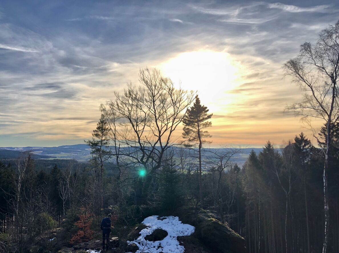
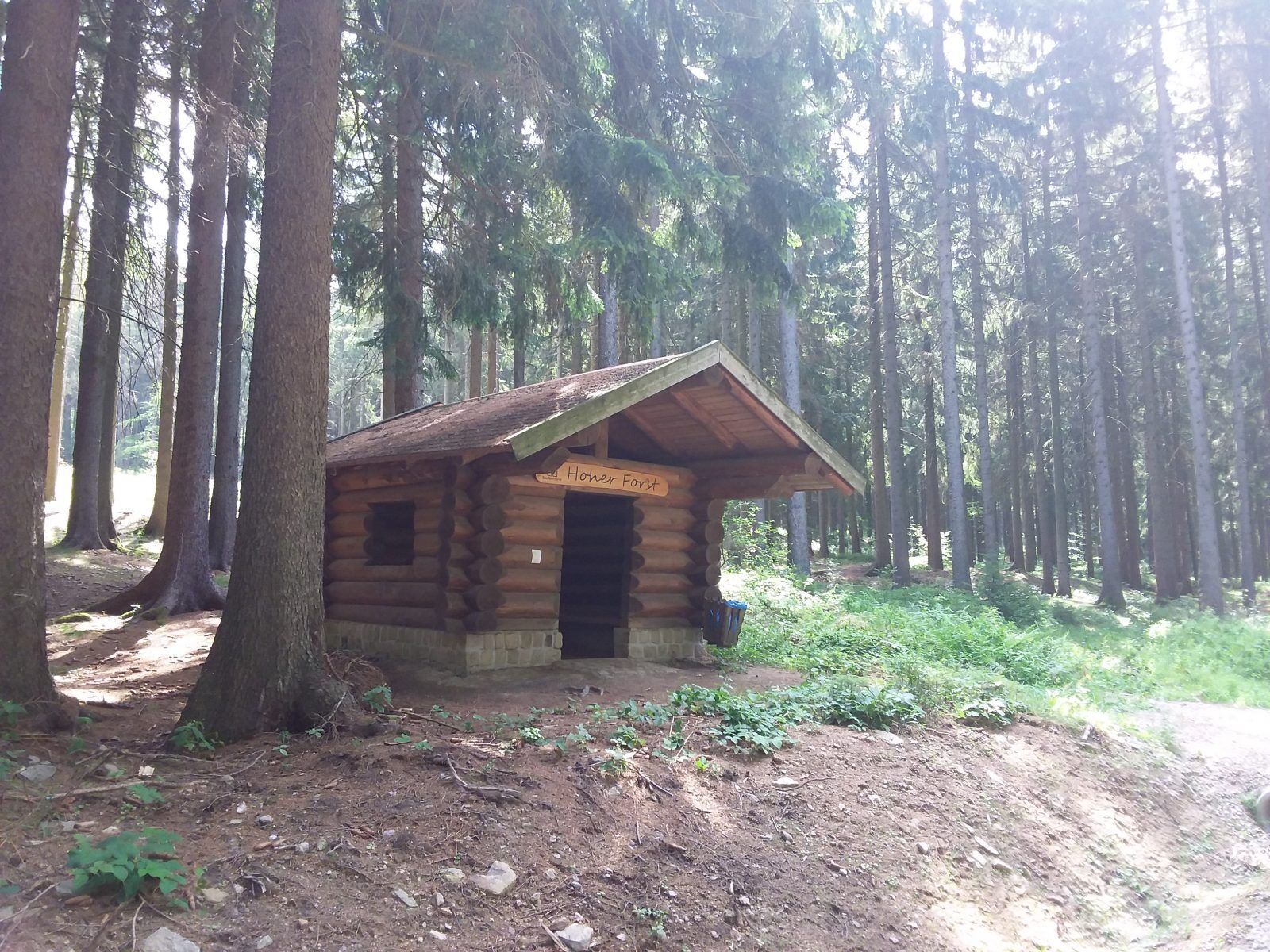

The starting point of the hike is Gerichtsweg, known in the village as "de Rumpelgass". The hike begins at the gymnasium, Dorfstraße 8, 08107 Hartmannsdorf in a north-easterly direction. When we reach the Saupersdorf-Schneeberg road, we follow it in an easterly direction. After the first hill at the beginning of the forest, we walk in a north-easterly direction along Wiesenburger Straße. At the fork in the road with the "Kleiner Flügel", a forest path on the left leads to the Hechtlöchern. At this fork in the path is the entry point to the "Hoher Forst" mining nature trail. Take an additional 2 hours to learn more about the "Hoher Forst" World Heritage Site. There is a refuge on the mining nature trail. At the ground protection monument from the time of settlement (1316), we can once again see spoil tips and pits from this period. On the hill, you can familiarize yourself with the moat system and the existing cistern.
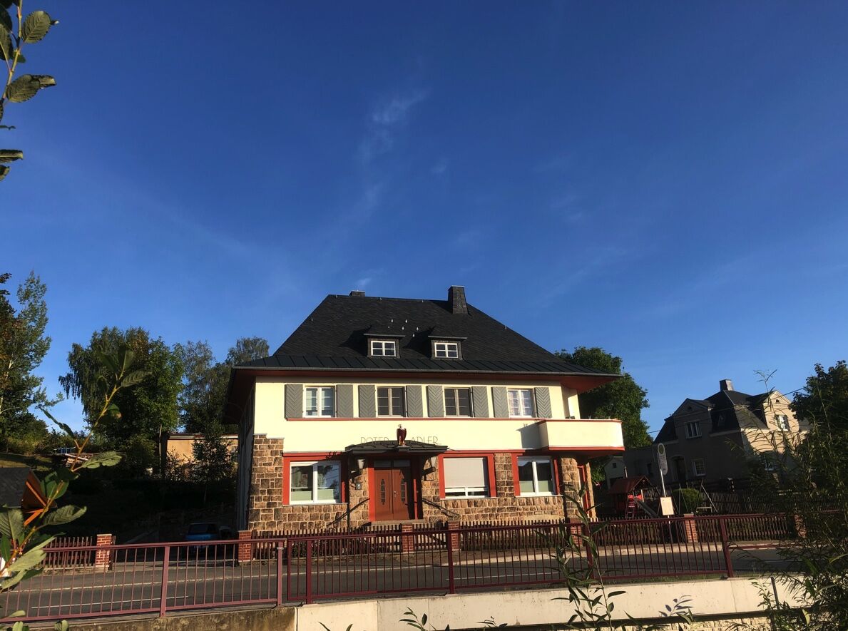
If we follow the circular route at the fork in the road with the "small wing", we come to Schneeberger Allee. There is a meadow path on the left to the "Kleiner Hirschenstein", which is a popular vantage point with seating. On the descent, we follow the markings and return to Schneeberger Allee, following the signs to the "Großer Hirschenstein". Once there, we again have an excellent view of the Völkerschlachtdenkmal, the Vogltand and our Ore Mountains. We sign the summit register and can rest at the seating area. We then walk back to the village via the Long Wing to the Fürstenweg. We overcome about 200 meters in altitude. In the village, you can stop for refreshments at the Landhof and Gasthof Flechsig. It is worth visiting the church "Zu Sankt Johannis Enthauptung" with the Peter Breuer altar. We return to the starting point through the bottom of the Rödel valley. From here, you have the option of taking the PlusBus back via Kirchberg at the "Roter Adler" bus stop.
Tak
Tak
Sturdy shoes are recommended.
Sturdy footwear is recommended. Excursions to the Kleiner Hirschenstein are not recommended in rainy and damp conditions.
Via the A72 highway, exit Zwickau West or via the B93 from the direction of Aue: Take the S282 feeder road and exit in the direction of 08107 Hartmannsdorf. Follow the signs in the direction of Landhof and Pension Flechsig.
The Plusbus takes you from Zwickau to Hartmannsdorf every hour. You have a connection to the Vogtlandbahn in Zwickau. Get off at the Roter Adler stop in Hartmannsdorf.
In 08107 Hartmannsdorf: You can park in front of the gymnasium, Dorfstraße 8.
www.hartmannsdorfer-forst.de - central information page for the hiking area
In dry weather, it is worth making a detour to the Kleiner Hirschenstein, which is well signposted.
The Hohe Forst area is equipped with numerous information boards.
There is a refuge at Hoher Forst
At the Engländerstolln Hut House, the Kirchberg mining brothers offer guided tours of the ground monument with the oldest evidence of ore mining.
You can go underground into the Engländerstolln and Martin-Römer-Stolln with the Kirchberg mining brothers.
Park in the parking bays in front of the Hartmannsdorf gymnasium
Popularne wycieczki w okolicy
-
5,0
At the Eibenstock dam / Hundshübler circular hiking trail
światłoWędrówka 4,61 km -
4,0
Burg Stein- Alexanderstein -Prinzenhöhle - Burg Stein ,Hartenstein, Deutschland Hartenstein, Deutschland
światłoWędrówka 9,51 km -
2,0
Sosa Talsperre - Blauenthaler Wasserfall
ciężkiWędrówka 9,03 km -
Segwayfahrt bei Eibenstock
światłoMountainbike 15,2 km -
4,7
Burg Stein-Prinzenhöhle Hartenstein-Romantik Hotel Waldidyll
światłoWędrówka 7,56 km -
Burg Stein - Prinzenhöhle - Bastei (Mehltheuer) - Burg Stein ,Hartenstein, Deutschland Hartenstein, Deutschland
średniWędrówka 13,9 km -
3,0
At the Eibenstock reservoir / Marienweg
średniWędrówka 8,64 km -
30 km - Loop of the Three-Reservoir Marathon Eibenstock
średniMountainbike 33,4 km -
Langenweißbach, Talsperre Amselbach und Weißbach , z. T. urig ,querfeldein Langenweißbach, Deutschland
średniWędrówka 8,93 km -
3,0
7 hills - 7 benches circular route
ciężkiWędrówka 13,0 km
Wędrówki i tropienie


Nie przegap ofert i inspiracji na następne wakacje
Twój adres e-mail została dodana do listy mailingowej.





