







Kirchbruchroute Beucha
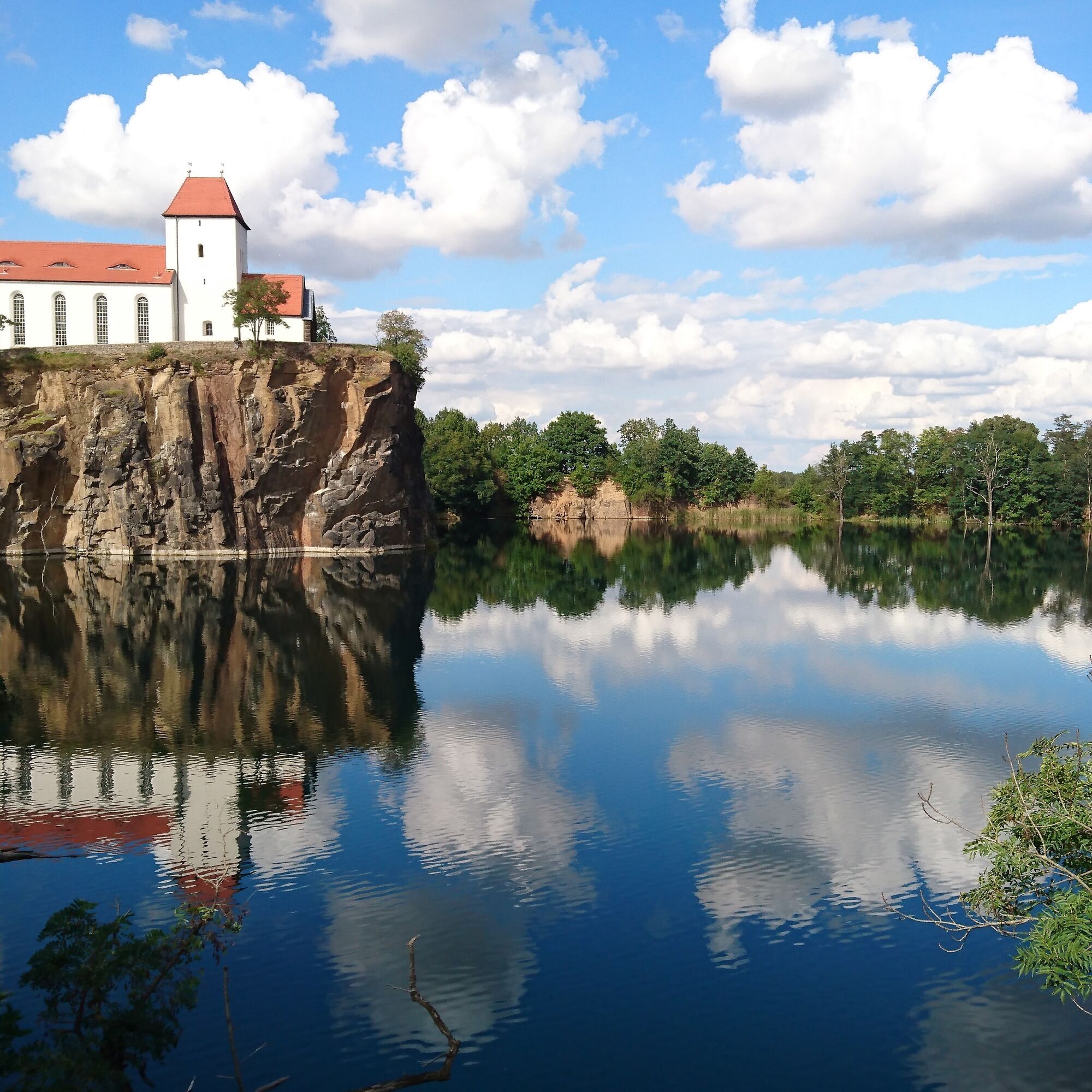
The short circular route leads around the former quarry "Kirchbruch" operated until 1954, which is now a picturesque lake. On its west side, the mountain church rises from a steep rock cliff.
Not only the...
The short circular route leads around the former quarry "Kirchbruch" operated until 1954, which is now a picturesque lake. On its west side, the mountain church rises from a steep rock cliff.
Not only the panorama but also the volcanic rock is of special importance for the Leipzig region. The Beucha granite porphyry found here was mainly quarried for the Monument to the Battle of the Nations in Leipzig. It decorates all visible parts of the imposing building. Due to its geological and historical special features, Kirchbruch Beucha was awarded the designation "National Geotope" in 2019.


The Kirchbruch route begins opposite Beucha station at the Brandiser Straße parking lot. The first information board stands there. Facing the board, we turn left into August-Bebel-Straße and follow its course for about 300 meters until a slightly elevated parking lot appears on the right. On a small meadow there is the second board. From here we have a wonderful view of the ensemble with the mountain church and Kirchbruch. From here we go right across the parking lot and follow the edge of the quarry. At the height of another viewpoint, from where we can see the east side of the mountain church, we keep right still along the quarry slope. After about 100 meters, we go left down the granite stairs and follow the path to the fence. There we turn left, always along the fence. A few meters after the fence stands the third information board. We continue along the path and keep left along the edge of the quarry until we reach the grounds of the mountain church. Here we can make a detour to the mountain church directly and let our gaze wander over the quarry. Then we go towards the water tower and out through its passage. We stay right on the footpath and find the fourth information board. The way back towards the station then goes in the opposite direction down Kirchberg, then left again onto August-Bebel-Straße. We follow this road past the parking lot again to Beucha station.
Tak
Please note the marked danger of falling. Viewpoints are appropriately marked and secured.
Arrival and departure by regional train or bus within the tariff system of the Central German Transport Association. www.mdv.de
Parking lot at Brandis-Beucha station, Brandiser Straße, 04821 Brandis
Popularne wycieczki w okolicy
-
7 Steinbrüche Tour
światłoWędrówka 21,5 km -
5,0
Georoute Wachtelberg-Mühlbachtal
Trasa tematyczna 3,87 km -
5,0
Meine Lieblingstour: 4-Seen-Radroute
ciężkiJazda na rowerze 61,1 km -
5,0
Seerunde
światłoWędrówka 9,32 km -
Wanderweg Rund-um-Leipzig
ciężkidługodystansowy szlak pieszy 87,0 km -
5,0
Wanderung um den Albrechtshainer See
światłoWędrówka 4,69 km -
Wanderung um den Moritzsee
światłoWędrówka 3,59 km -
Muldental hiking trail from Rochlitz to Bad Düben
ciężkidługodystansowy szlak pieszy 91,3 km -
Eilenburg Mühlgraben
średniKajak / Canoe 11,3 km -
Kurs 1 - Von Leipzig zum Cospudener See
średniKajak / Canoe 10,5 km
Wędrówki i tropienie


Nie przegap ofert i inspiracji na następne wakacje
Twój adres e-mail została dodana do listy mailingowej.





