© LEIPZIG REGION - R. Heinze/Geopark Porphyrland

© LEIPZIG REGION - R. Heinze/Geopark Porphyrland
© LEIPZIG REGION - R. Heinze/Geopark Porphyrland
© LEIPZIG REGION - R. Heinze/Geopark Porphyrland
© LEIPZIG REGION - R. Heinze/Geopark Porphyrland
© LEIPZIG REGION - R. Heinze/Geopark Porphyrland
© LEIPZIG REGION - R. Heinze/Geopark Porphyrland
© LEIPZIG REGION - L. Andrä/Geopark Porphyrland

- Krótki opis
-
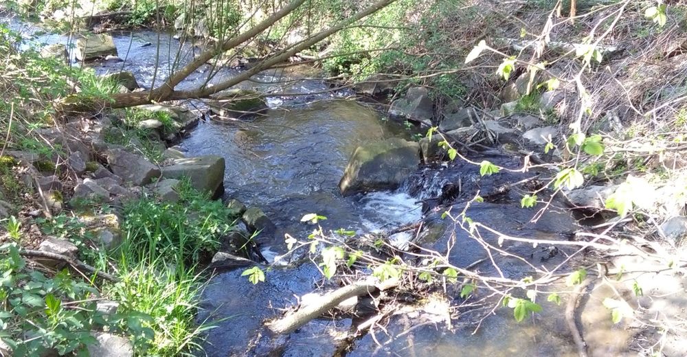
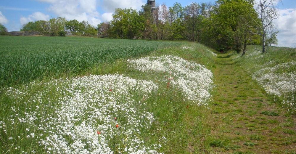
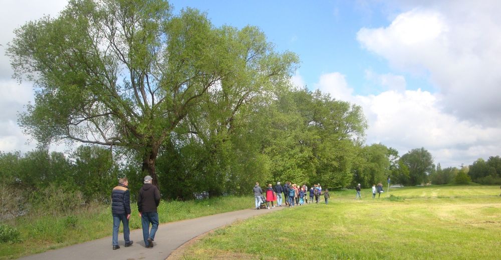
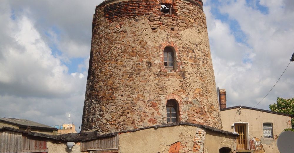
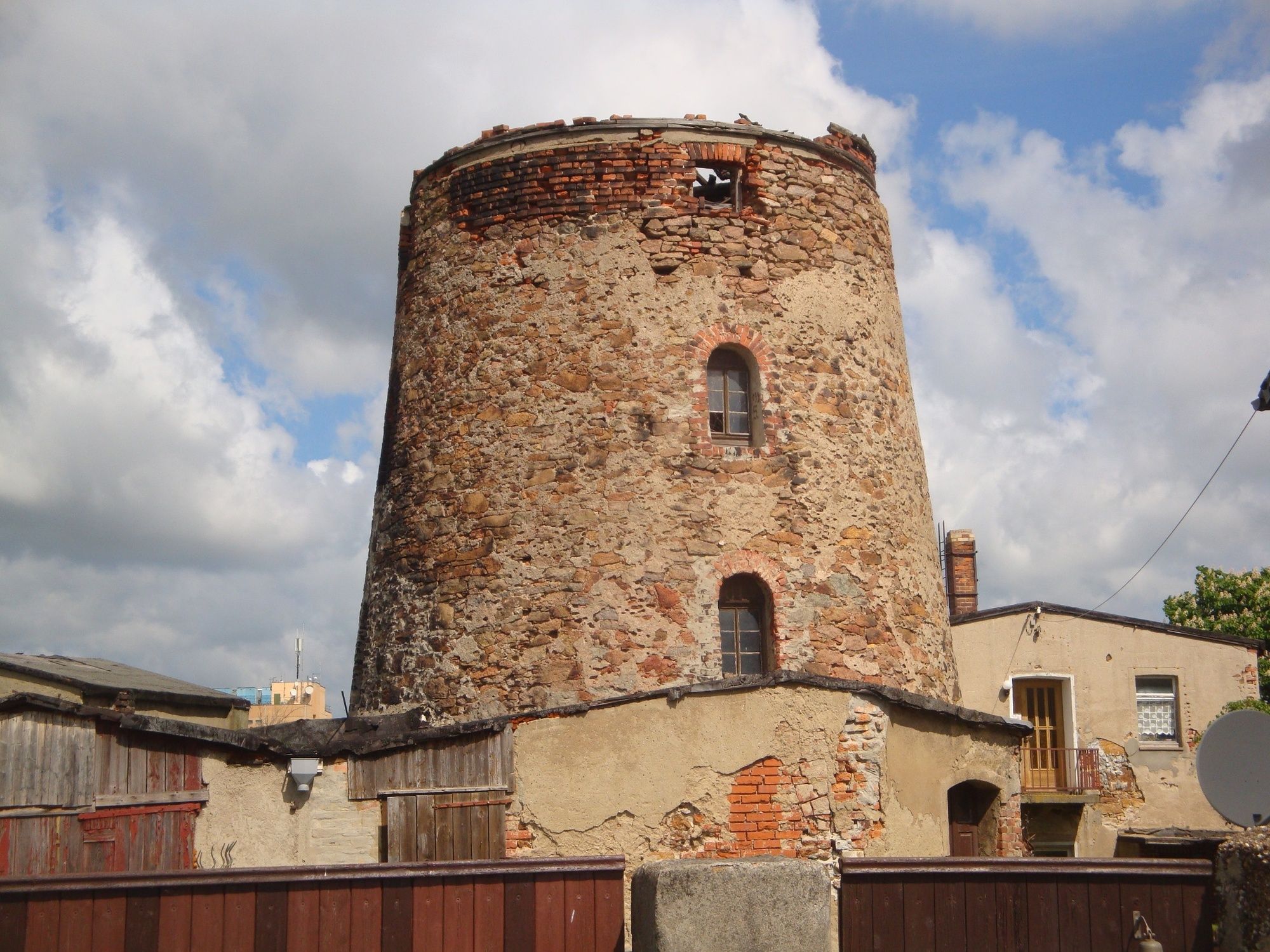
Themenweg mit Einblicken in die Entstehung des Pyroxengranitporphyrs und eine einzigartige Natur
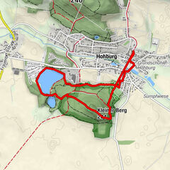
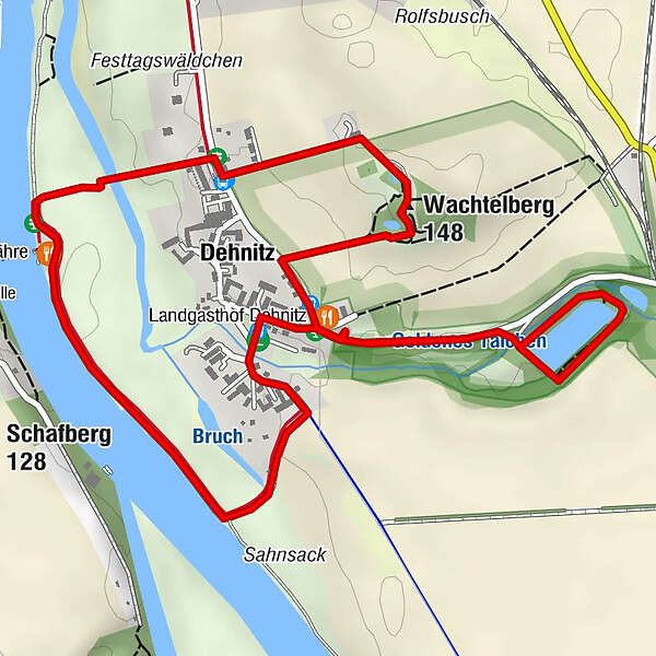
- Trasa
-
Gaststätte Zur Fähre2,4 kmWachtelberg (148 m)3,1 kmDehnitz3,7 kmLandgasthof Dehnitz3,8 km
- Najwyższy punkt
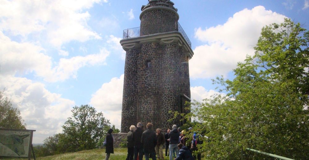
- 140 m
- Miejsce docelowe
-
Landgasthof Dehnitz, Am Wachtelberg 9, 04808 Wurzen OT Dehnitz
- Profil wysokości
-
 © outdooractive.com


-

-
AutorWycieczka Georoute Wachtelberg-Mühlbachtal jest używany przez outdooractive.com pod warunkiem.
GPS Downloads


Informacje ogólne
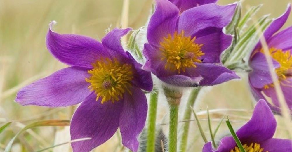
Flora
Fauna
Obiecujący
Więcej wycieczek w regionach
-
Region Leipzig
186
-
Sächsisches Heideland
78
-
Trebsen/Mulde
43