


Border Land History
A varied journey to get to know the impressive landscapes of the Altmark and the Wendland. Today, the unreal nature of the former inner-German border is history. Start the bike route in Osterburg or Salzwedel...
A varied journey to get to know the impressive landscapes of the Altmark and the Wendland. Today, the unreal nature of the former inner-German border is history. Start the bike route in Osterburg or Salzwedel – both towns are very well reachable by train. Discover the differences on your bike trip: in the Wendland nearly 100 circular villages, in the Altmark mainly street villages with four-sided courtyards.
Plan at least 2 overnight stays to calmly explore the different towns and landscapes.

You travel along history. From the 10th century, the borders of the political territories, the later Prussia and the Kingdom of Hanover, emerged. Today the Altmark belongs to Saxony-Anhalt and the Wendland to Lower Saxony.
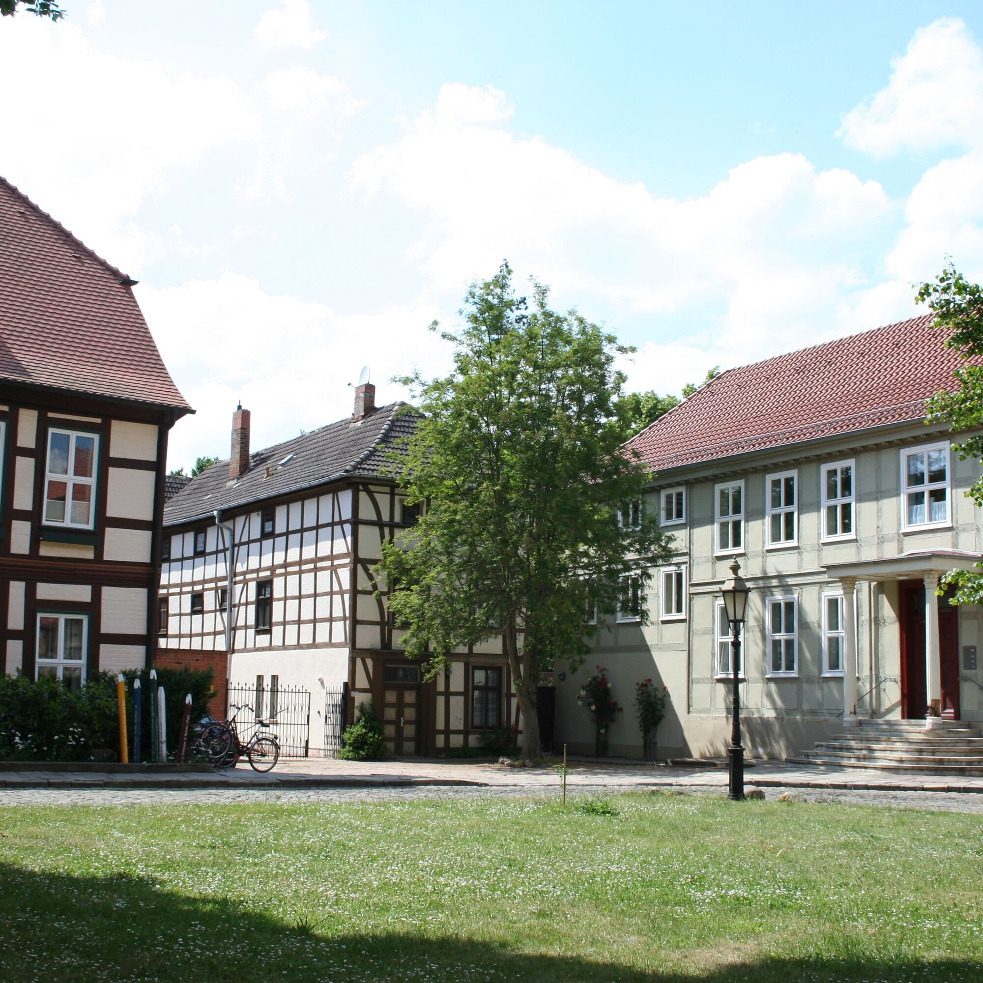
The "border march" was a region conquered by Saxon dukes between the Duchy of Saxony and the Wendland. Margrave Albrecht the Bear began the great east Elbe colonization in the area of the later Altmark. In the 13th century, towns gained more independence. They established town rights based on the models of Magdeburg and Lübeck law. Altmark towns became members of the Hanseatic League. Additionally, the brick buildings of the Middle Ages arose and urban life flourished. Around the year 800, the Wends, a Slavic people, settled in the area of today's district of Lüchow-Dannenberg, giving the region its name. From the early Middle Ages, the Wendland was under the rule of the Duchy of Brunswick-Lüneburg. In this largely agricultural region, flax cultivation and linen production held high importance. However, they disappeared with the industrialization of the 19th century. This was followed by intensive cultivation of sugar beets and potatoes. Today, the Wendland is also the largest area for organic farming in Germany.
Until the founding of both German states, Salzwedel remained the regional center. Here, for example, people attended higher schools, did shopping, and traveled by train to the metropolises. Subsequently, the increasingly insurmountable border determined all areas of life. From the 1980s, artists and intellectuals found their living space in the quiet outskirts of the Wendland. The annual “Cultural Country Tour” between Ascension Day and Pentecost attracts tens of thousands of visitors, making accommodations and parking spaces highly sought after during this time.
Tak
Both Salzwedel and Osterburg are very easily accessible by train.
www.region-wendland.de/grenzlandgeschichte
www.salzwedel.de
All hotels and guesthouses mentioned in the leaflet (download at www.region-wendland.de/grenzlandgeschichte) accommodate guests for one night
Popularne wycieczki w okolicy
-
Four-Country Border Route
średniKolarstwo długodystansowe 203,3 km -
Altmark route: From the Hanseatic city of Salzwedel to Arendsee
średniJazda na rowerze 27,2 km -
Barrierefrei konzipierter, geführter Spaziergang am Arendsee - mit See- und Stadtgeschichten
światłoWędrówka 1,16 km -
Ziemendorf star rides to the horse washing place via Ziemendorf clearing
światłoJazda konna 5,23 km -
Nemitzer Heide-Weg
światłoWędrówka 14,6 km -
Border Experience
średniWędrówka 79,2 km -
5,0
Circular route "Brietzer Teiche - SpeciesRich on the Green Belt"
średniWędrówka 6,22 km -
2nd stage Vier-Länder-Grenzradweg: Salzwedel-Arendsee
średniJazda na rowerze 31,4 km -
Four-Country Border Cycle Route in the Saxony-Anhalt section
Jazda na rowerze 88,7 km -
Tour 10: Kirchen & Kloster rund um den Arendsee: Seelenruhe zelebrieren
światłoWędrówka 3,97 km
Wędrówki i tropienie


Nie przegap ofert i inspiracji na następne wakacje
Twój adres e-mail została dodana do listy mailingowej.