






Hike to the "Most Beautiful Wine View of the Ahr 2016"
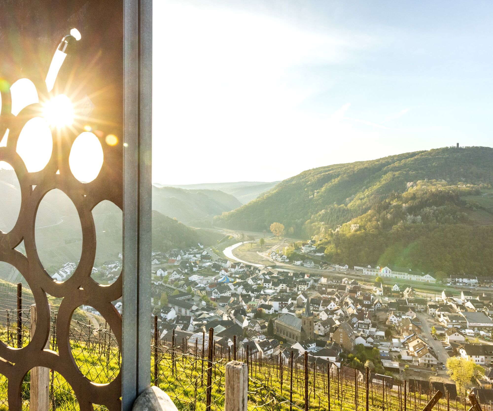
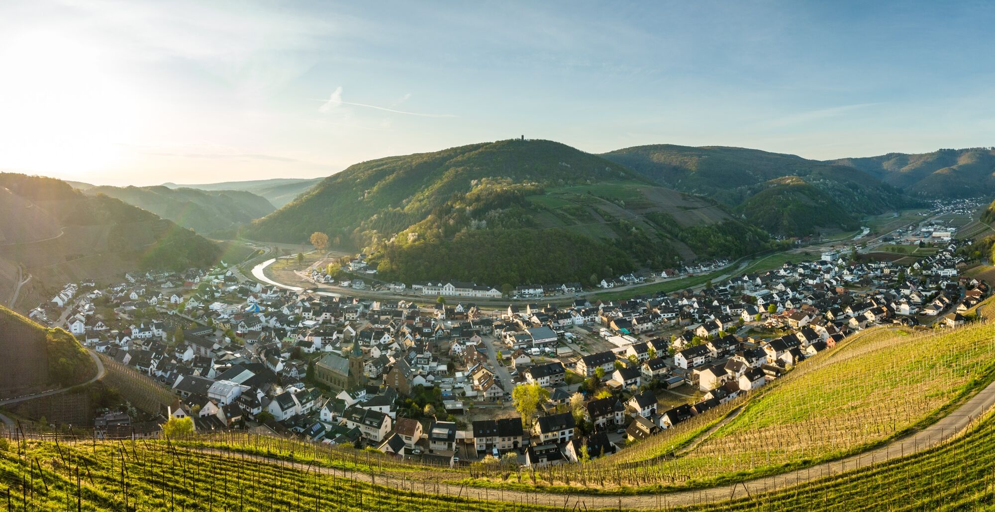
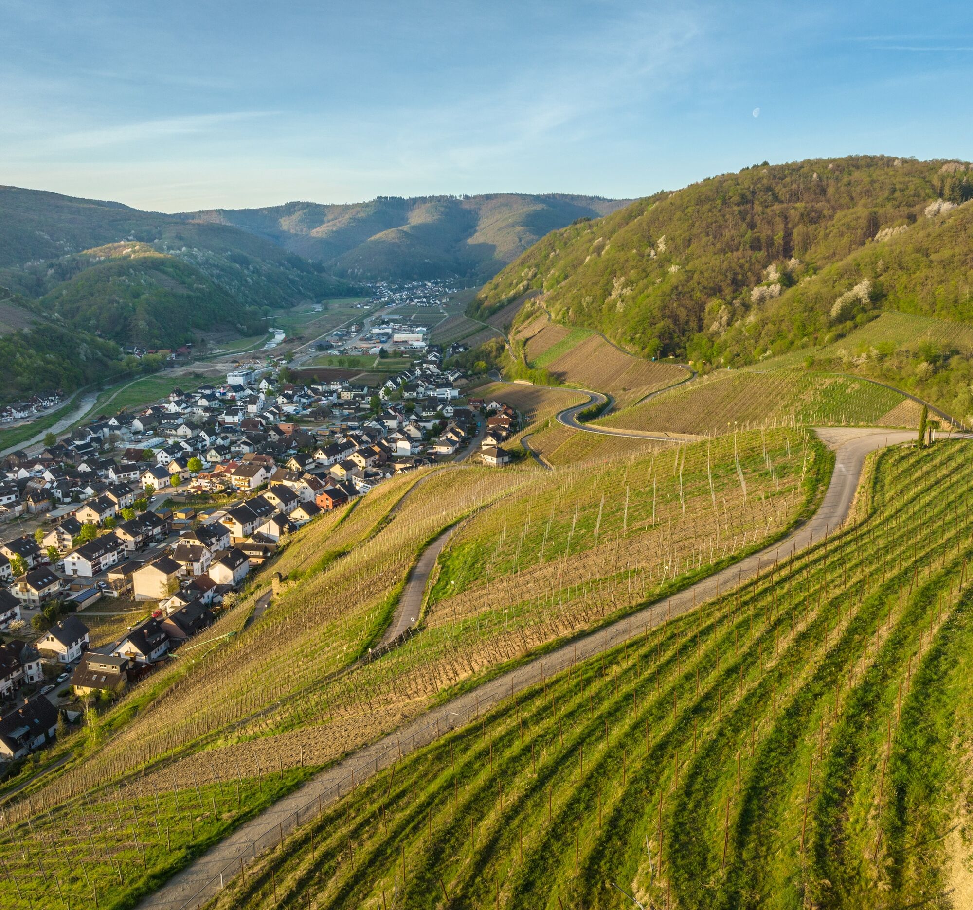
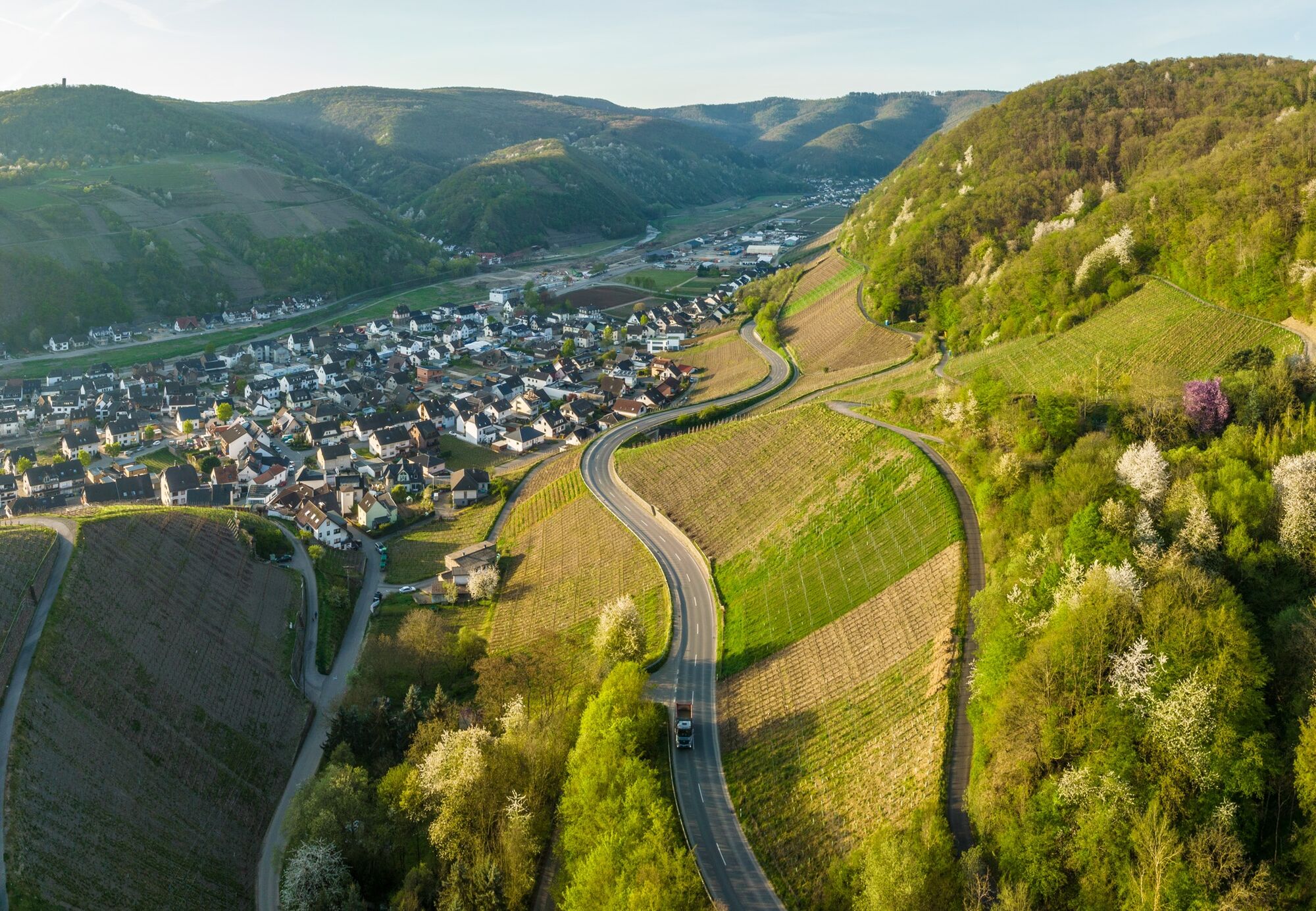
This most beautiful wine view is the view from the Sonderberg lookout point of a unique and unforgettable sight of Dernau with its steep vineyard slopes and the course of the Red Wine Hiking Trail. In...
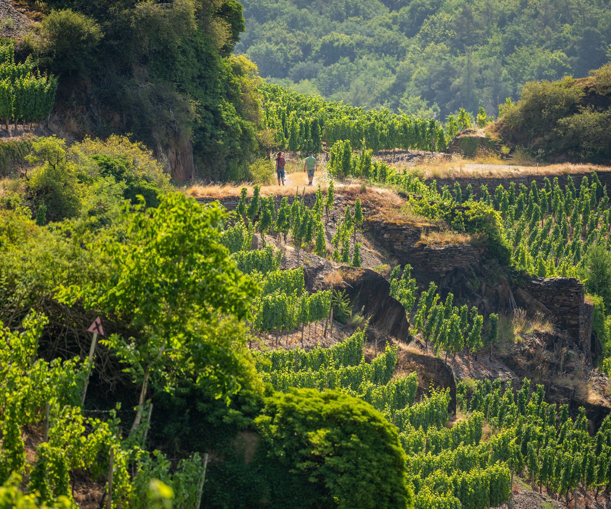
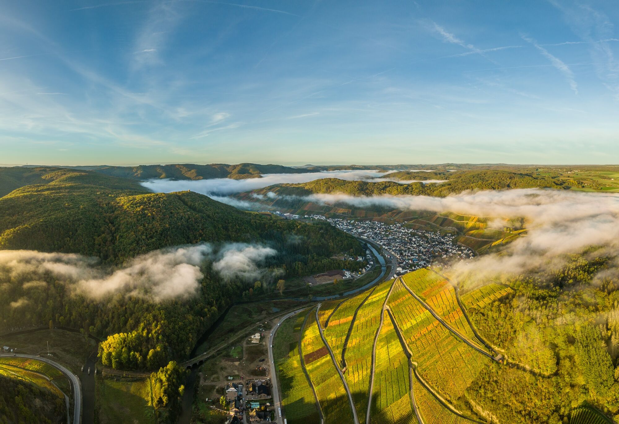
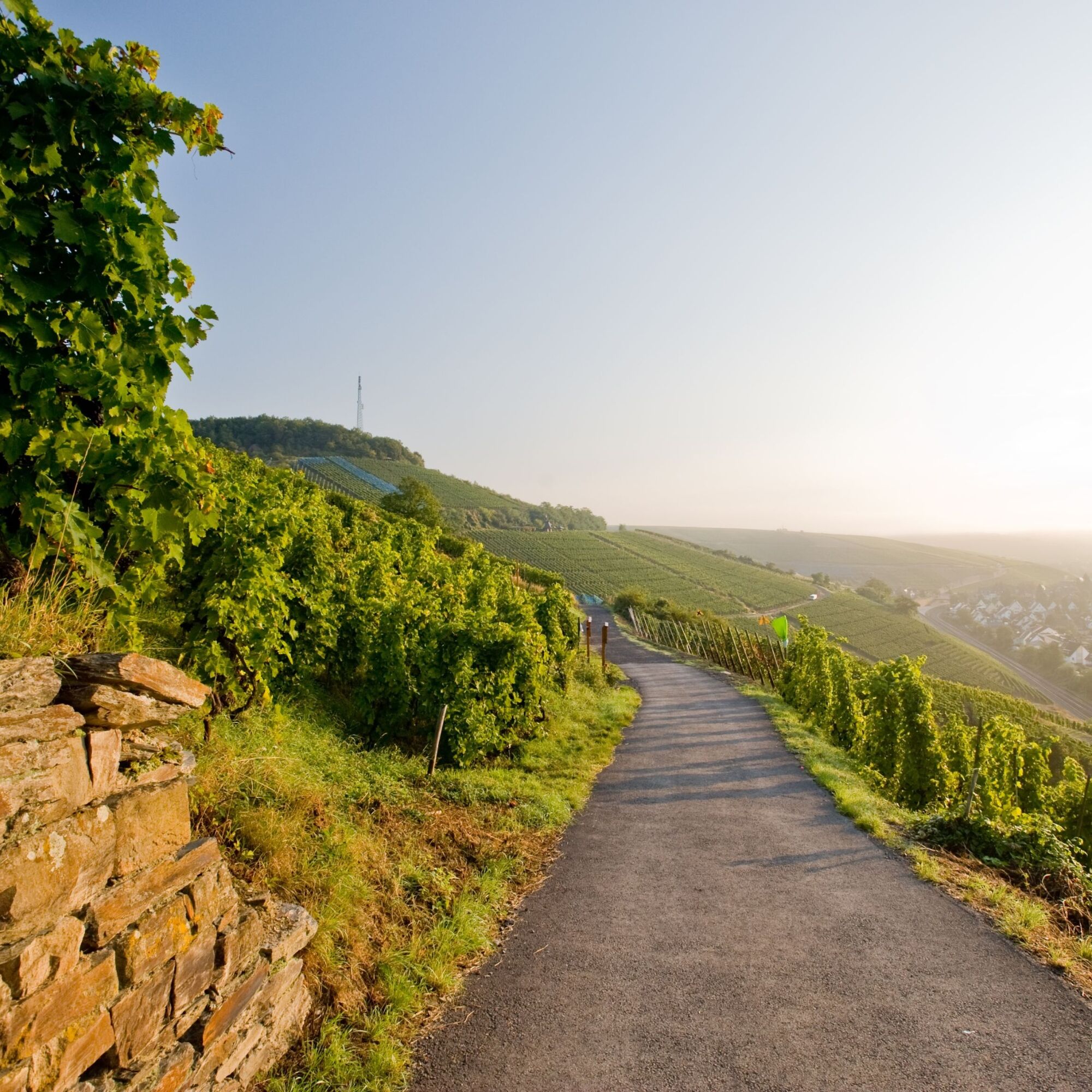
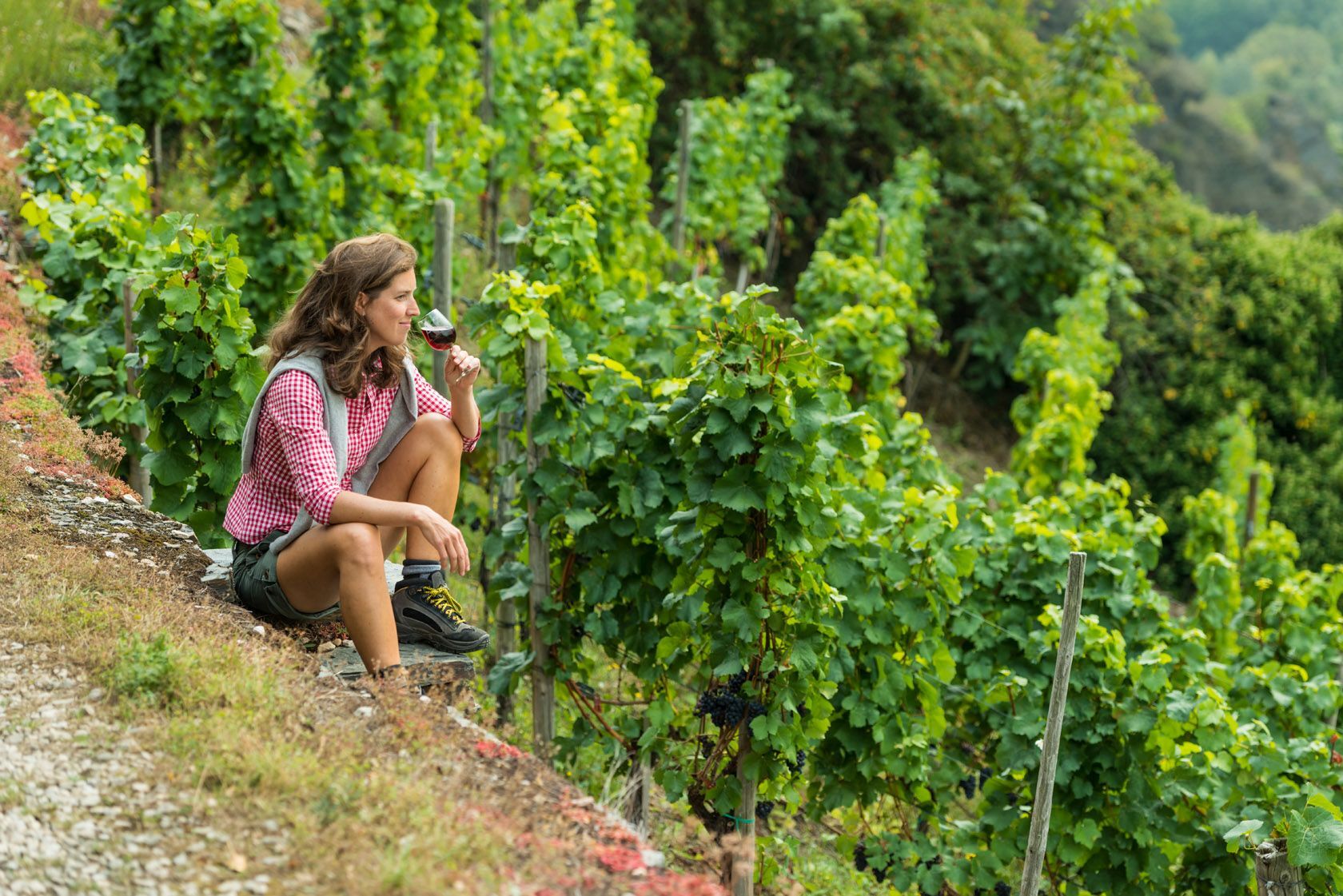
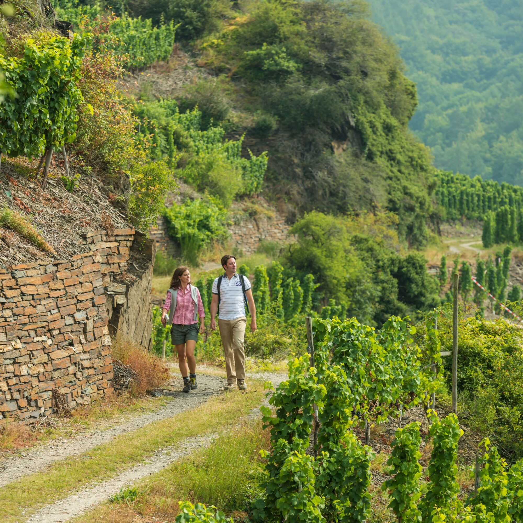
This most beautiful wine view is the view from the Sonderberg lookout point of a unique and unforgettable sight of Dernau with its steep vineyard slopes and the course of the Red Wine Hiking Trail. In the background is the Krausberg. The lookout point is accessible both via the B 257 from the Altenahr bypass road and from the direction of Cologne (coming from the highway) and further via the signposted district road 35. It is located in the Schieferlay vineyard area. Dernauer Schieferlay is seen in the foreground, Pfarrwingert and Hardtberg follow downstream along the Ahr. The name Schieferlay (Lay = rock) refers to the soil composition. The main orientation of the site to the east is interrupted by smaller side valleys. Characteristic of the site: The designated area covers 21 ha in a southwest-eastern orientation. Slope steepness 90%, 10% sloping. Altitude above sea level 125 - 260 m; soil mainly graywacke, 15 ha planted with Pinot Noir.
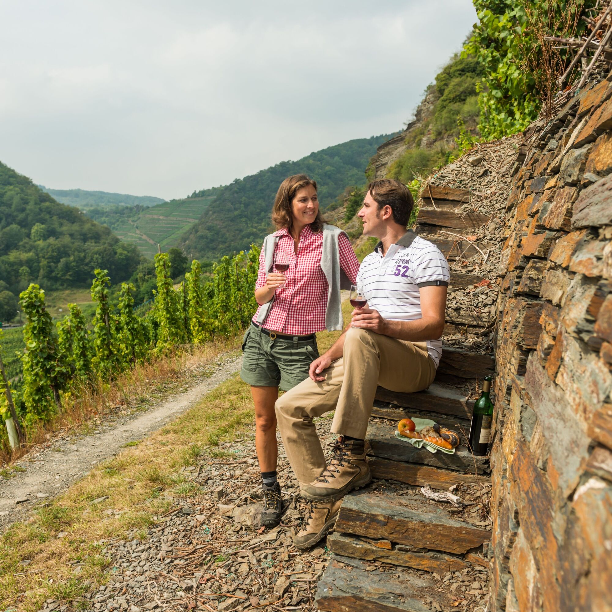

Sturdy footwear.
There are no special safety instructions.
Access by car
From the north: A 61, Meckenheimer Kreuz exit Altenahr, after about 2 km turn sharply left towards Esch, in Esch turn right towards Dernau, in Dernau turn left into Schmittmannstraße, after about 100 m you will find the station on the right.
From the south: A61, exit Sinzig Bad Neuenahr, continue on the four-lane road towards Bad Neuenahr. In Neuenahr, before the traffic light, turn right into Heerstrasse. Continue until the exit Ahrweiler. Then drive on the bypass road towards Altenahr. The station is located just before the town exit on the left side.
Due to flooding, the train is expected to be out of service on this section until the end of 2025. However, a rail replacement service has been established for this section. Additionally, extra buses run from the direction of Ahrbrück and Bad Neuenahr-Ahrweiler on this route. For local public transport (SEV), the tariff of both the Rhine-Moselle Transport Association (VRM) and the regional Rhine-Sieg Transport Association (VRS) applies, as well as the NRW tariff for trips throughout North Rhine-Westphalia.
The starting point of the hike is Dernau station, which you can reach hourly with the Ahrtalbahn from Bonn or Remagen.
Parking is available directly at the station or at the Weinbrunnenplatz.
Enjoy a glass of Ahr wine in the wine culture village of Dernau!

Popularne wycieczki w okolicy
- 4,0
Teufelsloch-Höhenwanderung
średniWędrówka 7,44 km - 5,0
Round route Bad Neuenahr No. 5 - Through the Ramersbach Forest
średniWędrówka 9,31 km Weinwanderung Dernau nach Ahrweiler
Wędrówka 23,4 km- 4,7
Rundwanderung Rech / Steinerberg
średniWędrówka 14,2 km Burg Are - Engelsley Nord - Süd und im Tal zurück
ciężkiWycieczki górskie 3,63 km- 5,0
Leichte Rund-Wanderung Dernau / Mayschoß
światłoWędrówka 5,46 km - 3,5
Rund um die Safenburg
światłoWędrówka 8,10 km - 5,0
Rund um Mayschoß und Altenahr
średniWędrówka 17,3 km - 5,0
AhrSteig Etappe 5: Kreuzberg-Walporzheim
długodystansowy szlak pieszy 14,6 km Ahrtal alpin: von Altenahr über Mayschoss, Saffenburg Teufelsley, Engelslei, Burg Are
średniWędrówka 18,7 km
Wędrówki i tropienie


Nie przegap ofert i inspiracji na następne wakacje
Twój adres e-mail została dodana do listy mailingowej.





