


Round route Bad Neuenahr No. 5 - Through the Ramersbach Forest
About 8 kilometers south of Bad Neuenahr-Ahrweiler lies the village of Ramersbach, which forms the starting point of this hike. Vineyard romance is hard to find here, but the landscape scores with a beautiful...
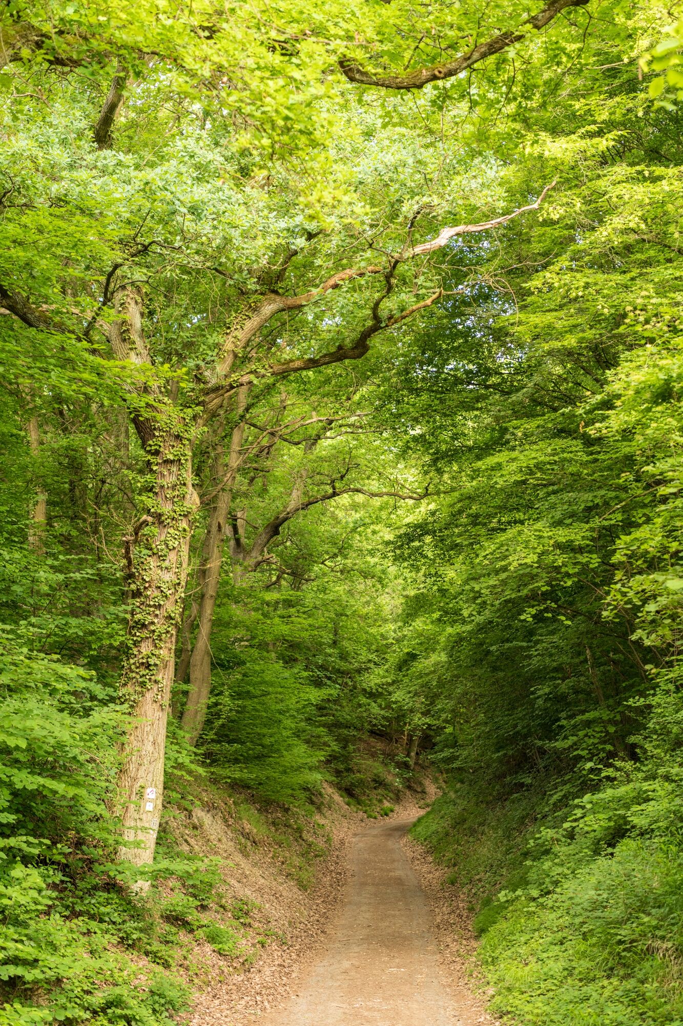
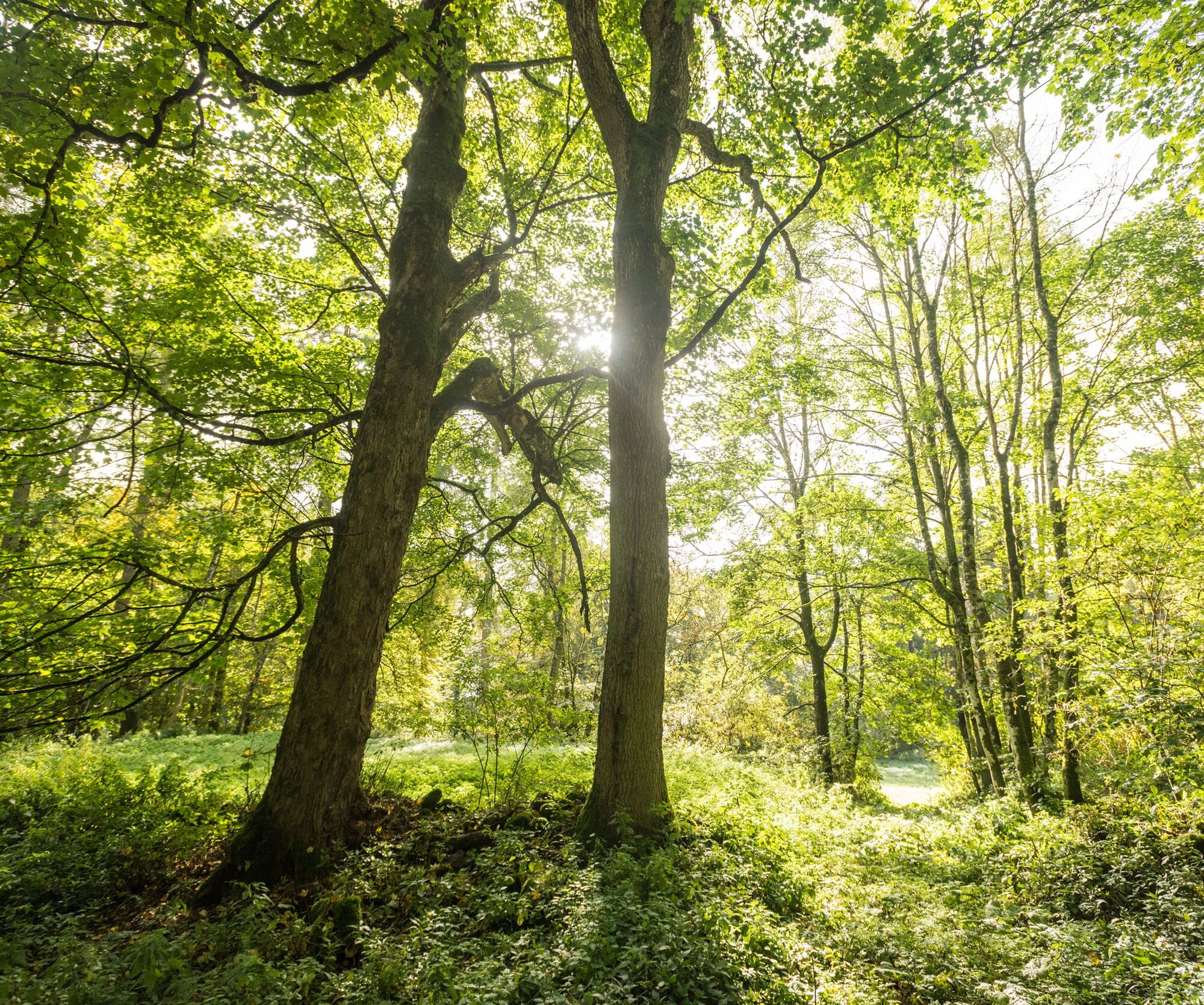
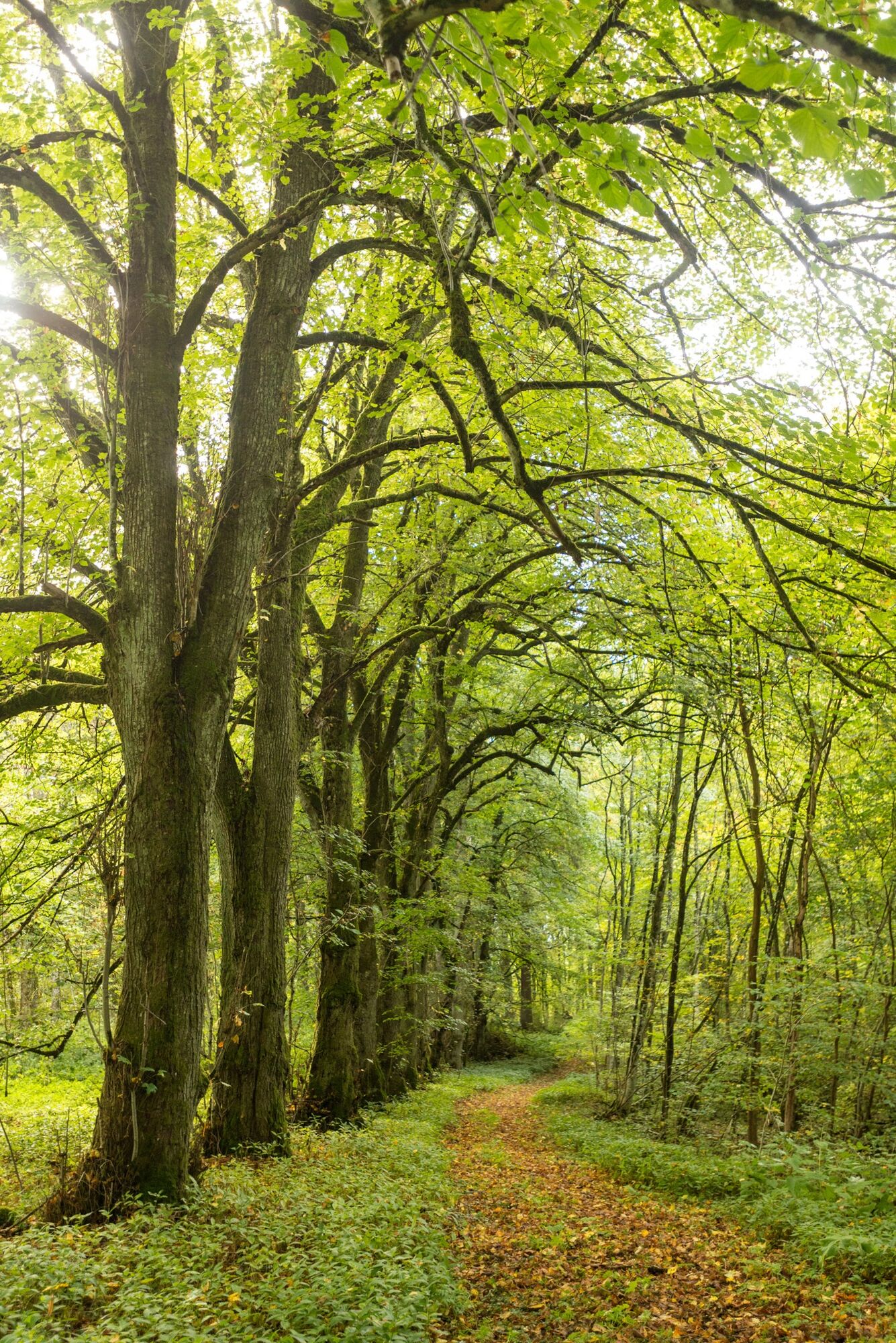
About 8 kilometers south of Bad Neuenahr-Ahrweiler lies the village of Ramersbach, which forms the starting point of this hike. Vineyard romance is hard to find here, but the landscape scores with a beautiful forest, fresh air, and relaxed seclusion. And under the green leafy canopy of the forest, the hiker encounters numerous traces from Roman times.


The route starts from the hiking car park at the Waldwinkel forester's lodge up to the forester's lodge and then continues through a small woodland. With views over open fields, it gently climbs along the forest edge and continues through the field to the village of Ramersbach. In the village center, the path leads to the Catholic Church of St. Barbara, which was built in 1907/1908. After the village, the path continues through meadows towards the Florian hut and the forest edge.
Next, it goes deep into the forest. Here, beech and conifer trees alternate. The path passes the remains of a Roman rural estate, a villa rustica from the 1st to 4th century. Initially past a small stream, and then again through peaceful forest passages, it continues to a Roman burial site, where people were buried in various ways. Not far behind that, the Roman smelting site appears in a clearing, which is an archaeological monument of international importance. A wide forest path leads to the Breitekopf outcrop, where iron ore appears as a reddish-brown layer in the surrounding rock. Always gently uphill, it passes the Alte Mauer shelter back to the starting point.
The detailed route description with information on places to eat, beautiful views, and elevation profiles can be found in the hiking book: "Around Bad Neuenahr-Ahrweiler. The 15 most beautiful hiking routes" from J.P. Bachem Verlag (ISBN 978-3-7616-2844-7).
Sturdy footwear.
There are no special safety instructions.
By car coming from the north via the A61 to the Bad Neuenahr-Ahrweiler motorway interchange. The short feeder motorway A 573 leads to Bad Neuenahr, Ahrweiler and the other districts.
Coming from the south, leave the motorway at the Sinzig / Bad Neuenahr exit and then follow the feeder motorway A 571 as well as the B 266 bypass road towards Bad Neuenahr-Ahrweiler.
Bus connections available.
Enjoy the fresh air in the clean forests of the Ahr valley.
Popularne wycieczki w okolicy
- 4,0
Teufelsloch-Höhenwanderung
średniWędrówka 7,44 km - 5,0
Rieden - Gänsehals - Maifeldblick
średniWędrówka 14,2 km Weinwanderung Dernau nach Ahrweiler
Wędrówka 23,4 km- 4,7
Rundwanderung Rech / Steinerberg
średniWędrówka 14,2 km Burg Are - Engelsley Nord - Süd und im Tal zurück
ciężkiWycieczki górskie 3,63 km- 5,0
Leichte Rund-Wanderung Dernau / Mayschoß
światłoWędrówka 5,46 km - 3,5
Rund um die Safenburg
światłoWędrówka 8,10 km - 5,0
Rund um Mayschoß und Altenahr
średniWędrówka 17,3 km - 5,0
AhrSteig Etappe 5: Kreuzberg-Walporzheim
długodystansowy szlak pieszy 14,6 km Ahrtal alpin: von Altenahr über Mayschoss, Saffenburg Teufelsley, Engelslei, Burg Are
średniWędrówka 18,7 km
Wędrówki i tropienie


Nie przegap ofert i inspiracji na następne wakacje
Twój adres e-mail została dodana do listy mailingowej.