


20th Ahrtal Summit Festival: Great Ramersbach Summit Tour Iron Trail
The hike
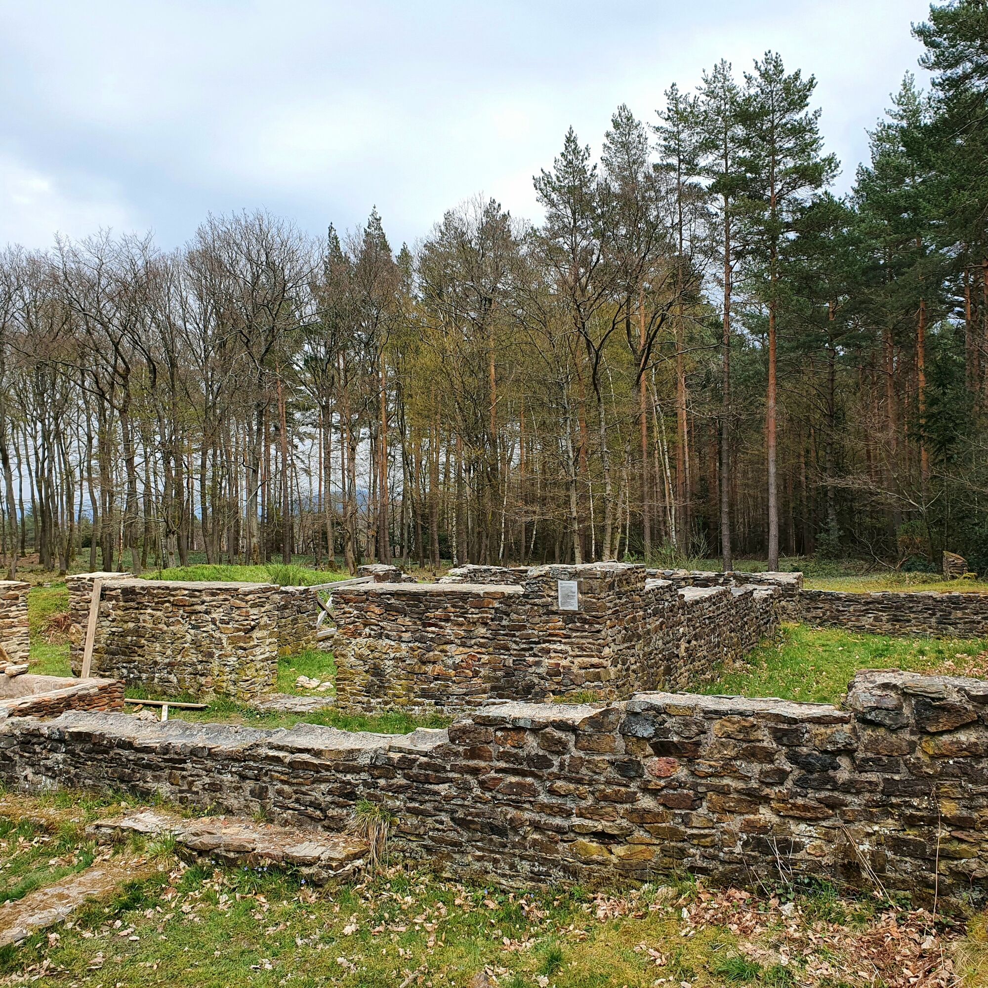
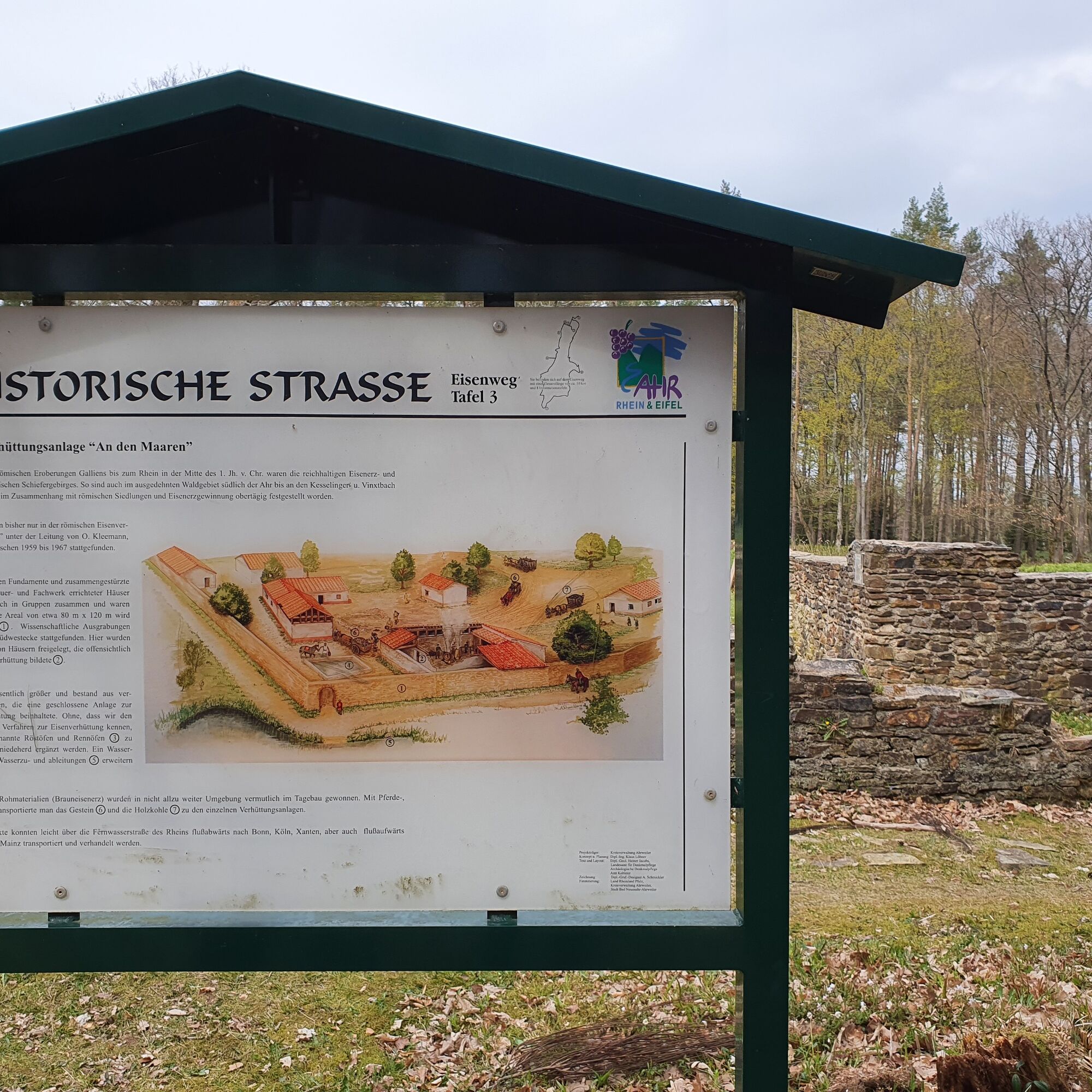
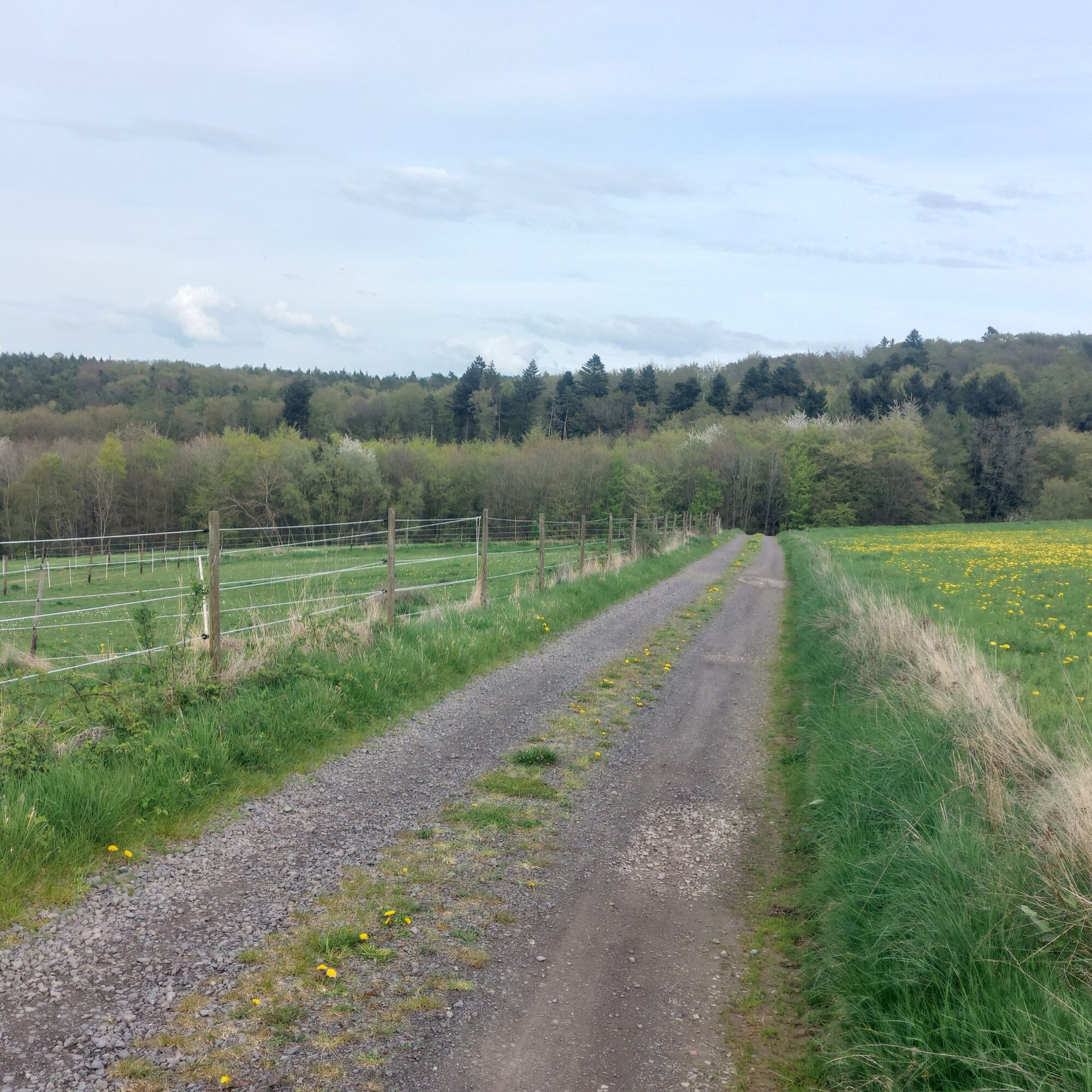
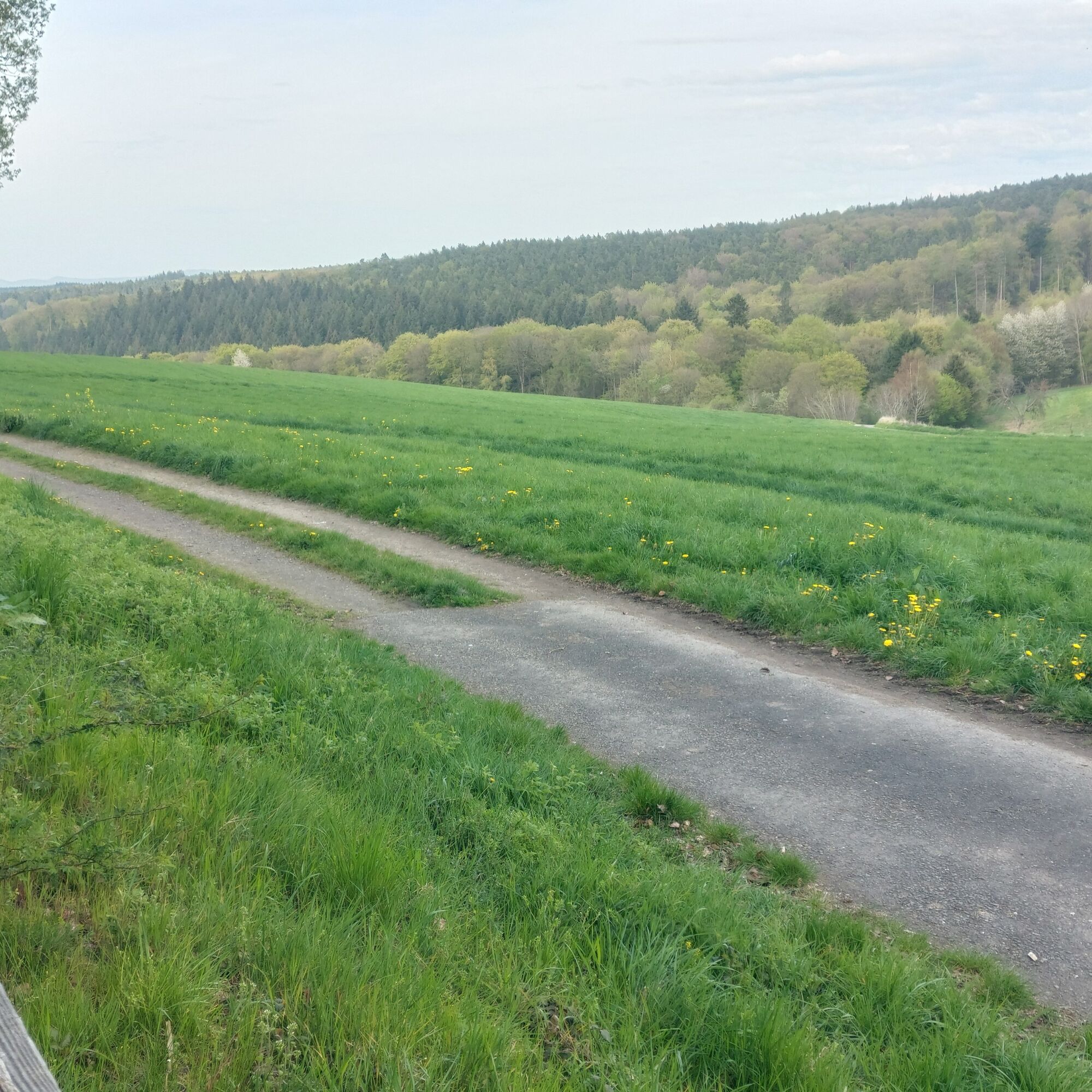
The long "Iron Trail" summit circuit combines an experience of nature with exciting Roman history. It leads through quiet forest passages with lush vegetation and ponds full of rare plants and...
The long "Iron Trail" summit circuit combines an experience of nature with exciting Roman history. It leads through quiet forest passages with lush vegetation and ponds full of rare plants and animals. Along the way, we encounter traces of a former Roman iron smelting settlement, burial grounds and other archaeological relics that bring the past to life. Information boards along the way provide additional insights. Our guided hike starts at 11 a.m. on the summit day - discover the highlights of the Iron Trail together with us!
Program for the Ahrtal Summit Festival on Friday, 05 June 2026
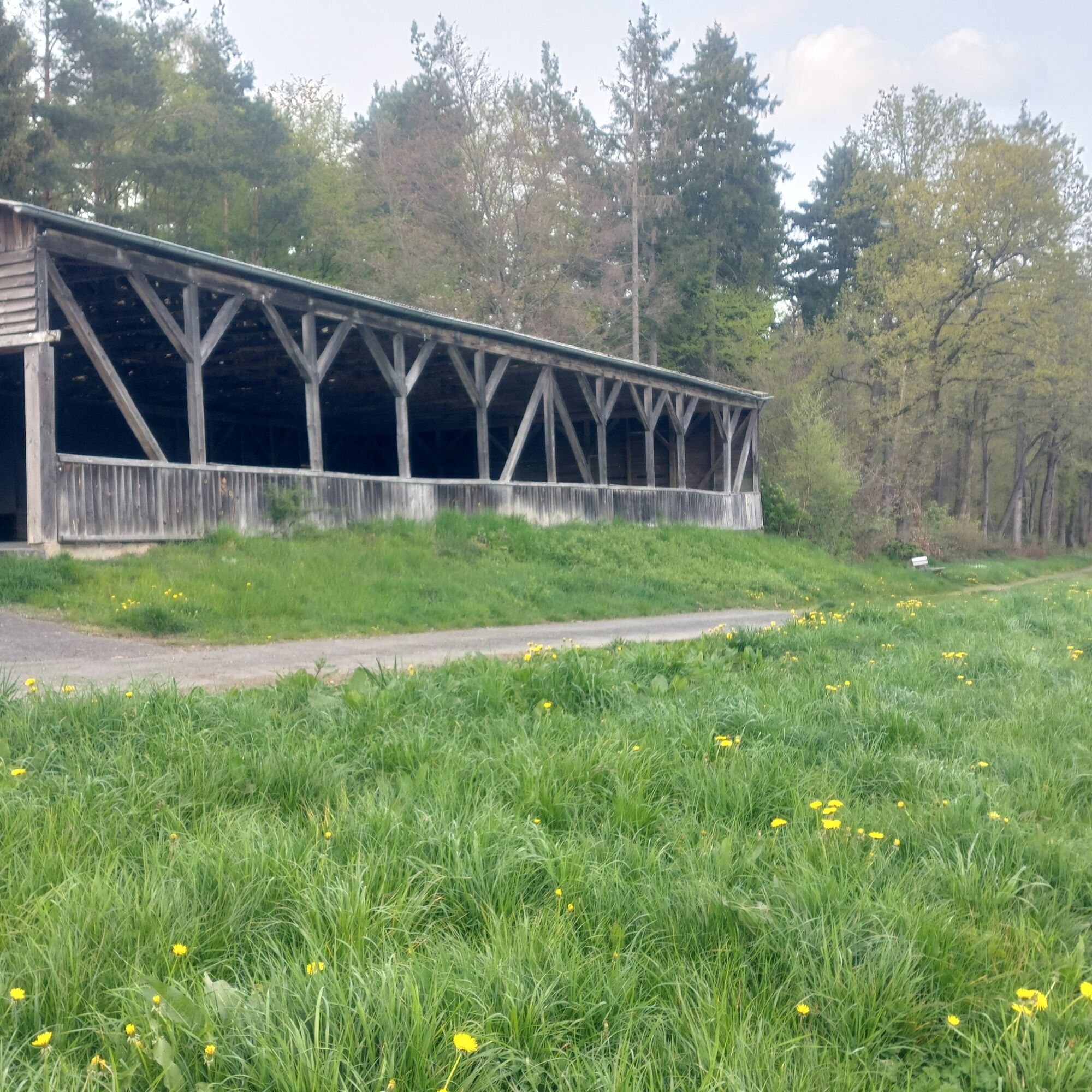
Awaiting you at the start and finish of the hike at the Florianshütte Ramersbach
Roman games and Roman limo in cooperation with the Römervilla Bouncy castle Slackline and wheel of fortune from the Bad Neuenahr forest climbing park Flaming salmon, salad pockets, burgers, chips, drinks Barbecue bread on a stickThe completed stamp card can be handed in on June 7 at the Martinshütte in Schuld or by June 12 at the tourist information offices in Bad Neuenahr, Ahrweiler, Adenau and Sinzig as well as at the Altenahr municipal administration.
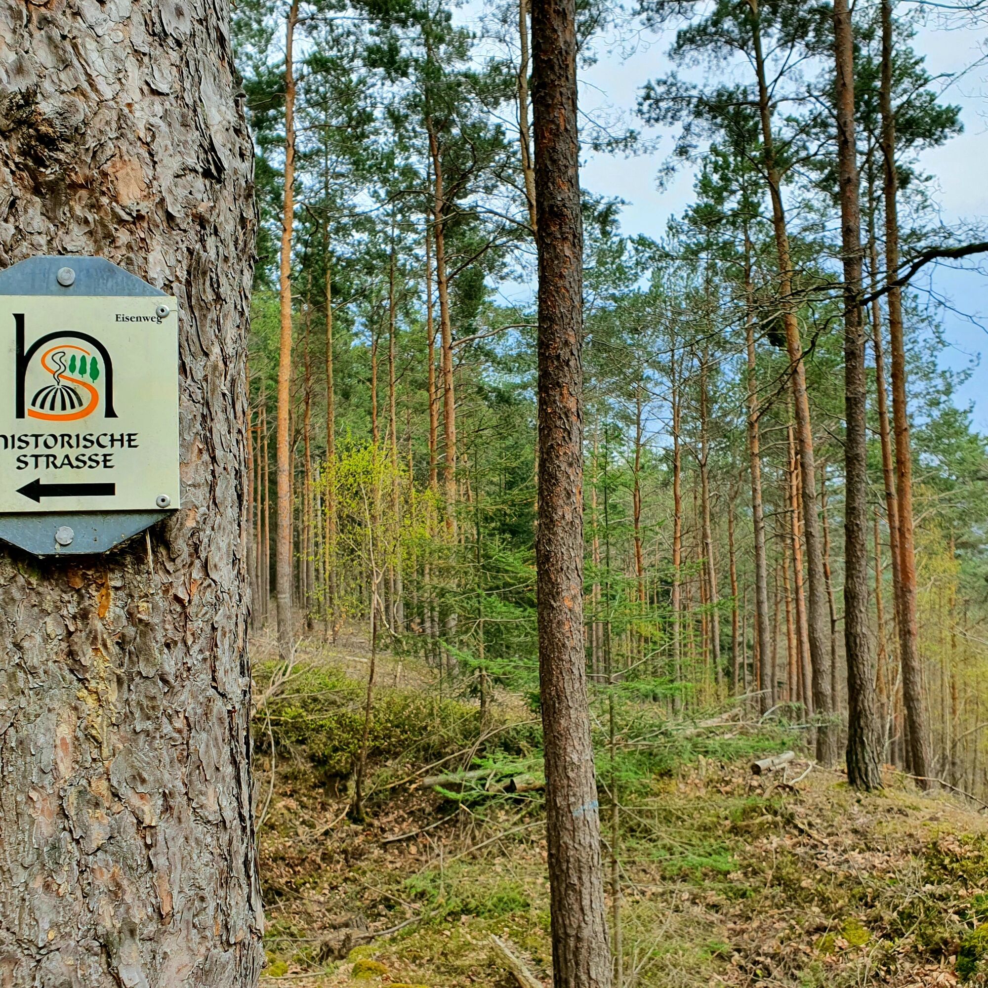
Follow the "Eisenweg" signs
sturdy shoes, weatherproof clothing
In the interests of the natural landscape and your own safety, please observe the following instructions: In order to protect the flora and fauna of the Ahr Valley, it is important that you do not leave the signposted paths, keep your dogs on a lead and keep the landscape clean. Open fires should be avoided due to the risk of forest fires.
Address:
Florianshütte
Florianstraße
53474 Bad Neuenahr-Ahrweiler
The hike starts at the Florianshütte, on the outskirts of Ramersbach. Parking spaces are available around the hut.
Popularne wycieczki w okolicy
-
4,0
Teufelsloch-Höhenwanderung
średniWędrówka 7,44 km -
5,0
Round route Bad Neuenahr No. 5 - Through the Ramersbach Forest
średniWędrówka 9,31 km -
5,0
Rieden - Gänsehals - Maifeldblick
średniWędrówka 14,2 km -
Weinwanderung Dernau nach Ahrweiler
Wędrówka 23,4 km -
4,7
Rundwanderung Rech / Steinerberg
średniWędrówka 14,2 km -
Burg Are - Engelsley Nord - Süd und im Tal zurück
ciężkiWycieczki górskie 3,63 km -
5,0
Leichte Rund-Wanderung Dernau / Mayschoß
światłoWędrówka 5,46 km -
3,5
Rund um die Safenburg
światłoWędrówka 8,10 km -
5,0
Rund um Mayschoß und Altenahr
średniWędrówka 17,3 km -
5,0
AhrSteig Etappe 5: Kreuzberg-Walporzheim
długodystansowy szlak pieszy 14,6 km

Wędrówki i tropienie


Nie przegap ofert i inspiracji na następne wakacje
Twój adres e-mail została dodana do listy mailingowej.