







Circular hike around the Idarkopf Tower

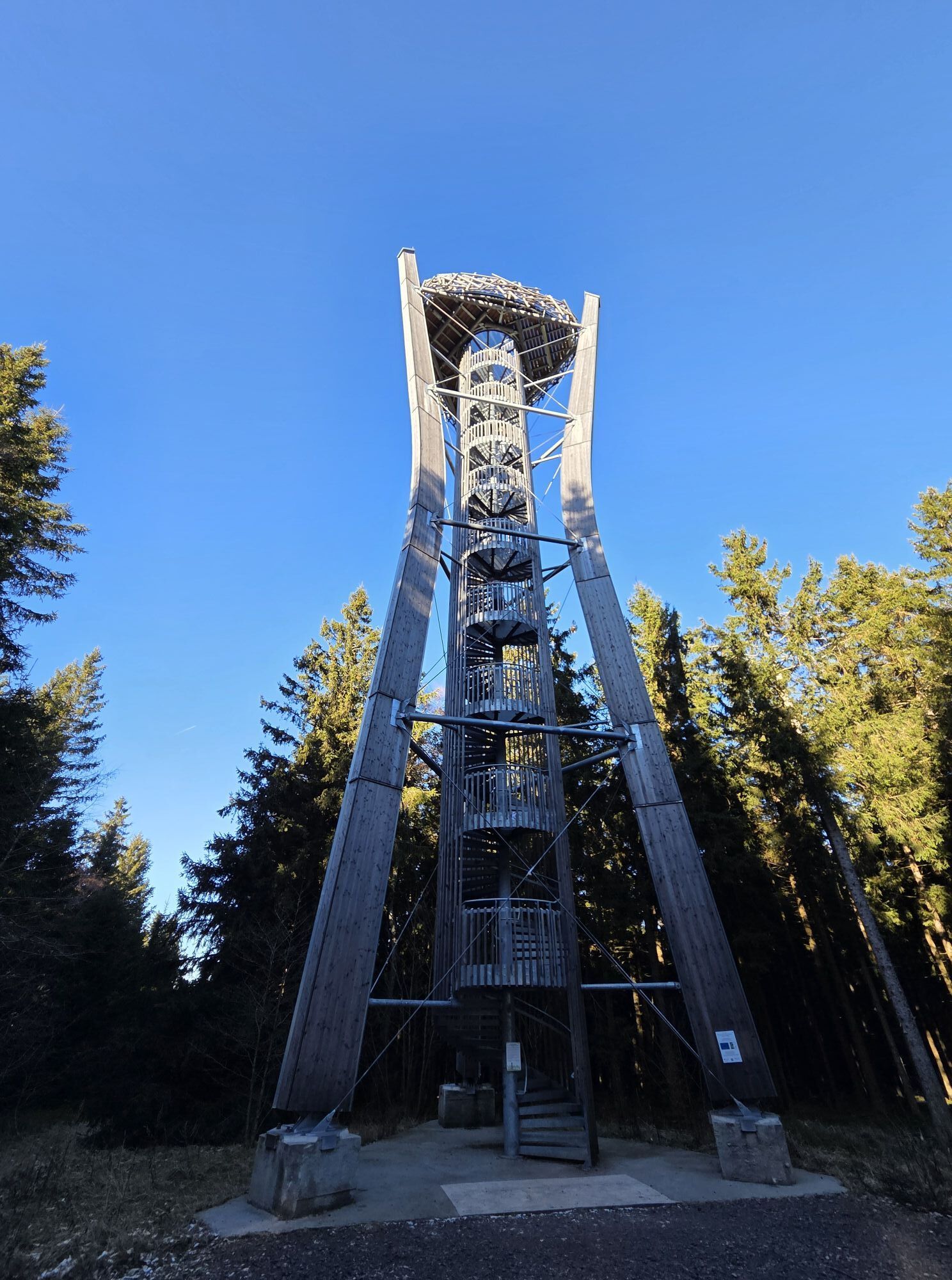
Idarkopf Tower near Stipshausen
The Idarkopf Tower is the new landscape highlight of the National Park Association municipality Herrstein-Rhaunen in the EdelSteinLand. From the platform of the over 31...
Idarkopf Tower near Stipshausen
The Idarkopf Tower is the new landscape highlight of the National Park Association municipality Herrstein-Rhaunen in the EdelSteinLand. From the platform of the over 31 m high observation tower, visitors can enjoy breathtaking views of the entire region.
On 21.10.2018, the old Idarkopf Tower suffered severe damage due to a fire and had to be closed. The demolition of this popular attraction in the EdelSteinLand began in spring 2022 and the reconstruction was completed in November. The new tower is an intelligent hybrid construction made of wood and hot-dip galvanized steel. The main supporting structure consists of 3 laminated spruce wood posts tapering towards the center. The new tower, with a height of 31.1 m, is designed to last 80 to 100 years. The steel staircase with its 170 steps offers 9 resting platforms up to the viewing platform. The viewing platform resembles a bird’s nest.
This magnificent viewpoint invites you to discover the EdelSteinLand and the beautiful Hunsrück mid-mountain landscape from a different perspective.
Located in the middle of nature, it is not accessible by car! The following route suggestion leads over local service roads around the Idarkopf Tower. Start and finish is the Idarwald hiking car park.
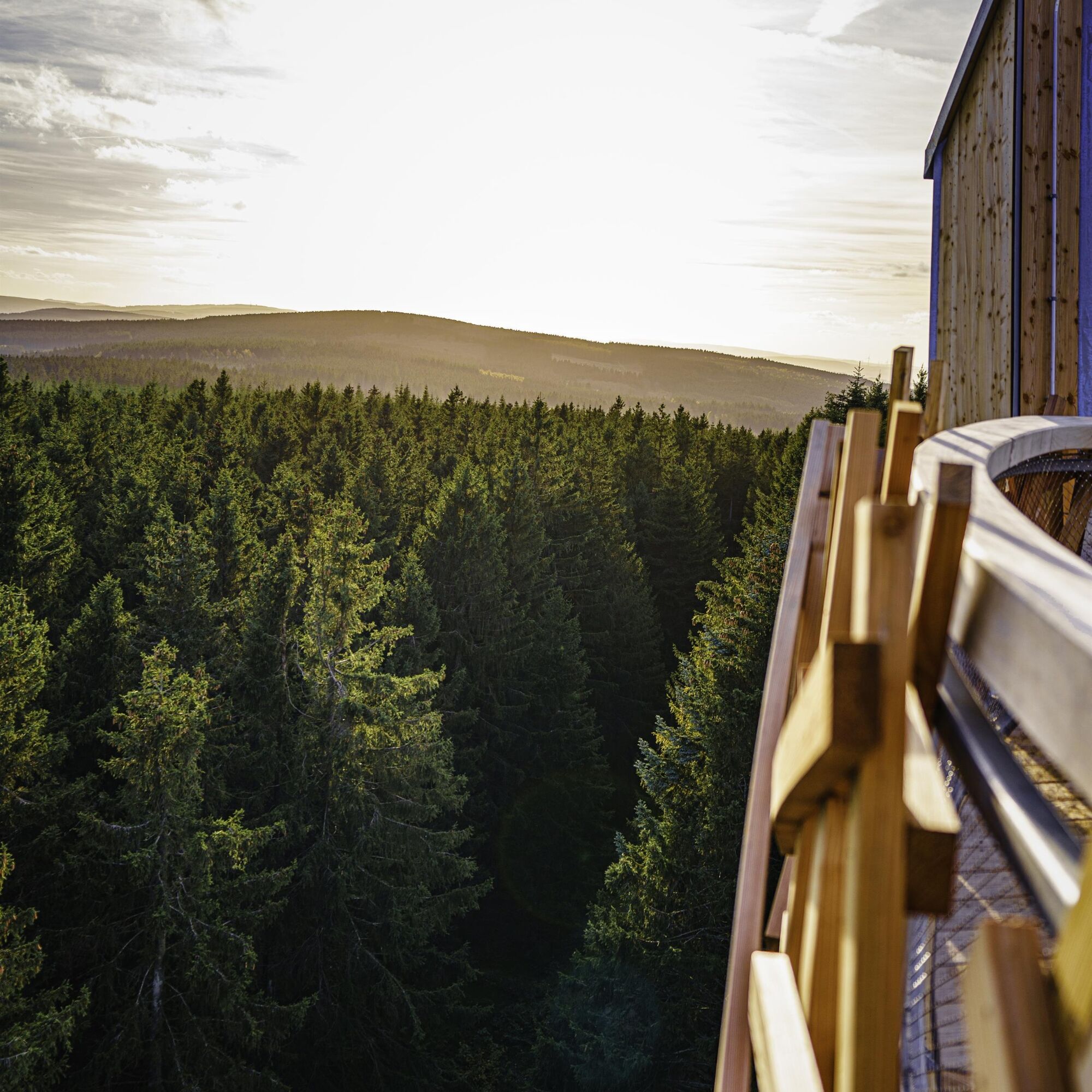
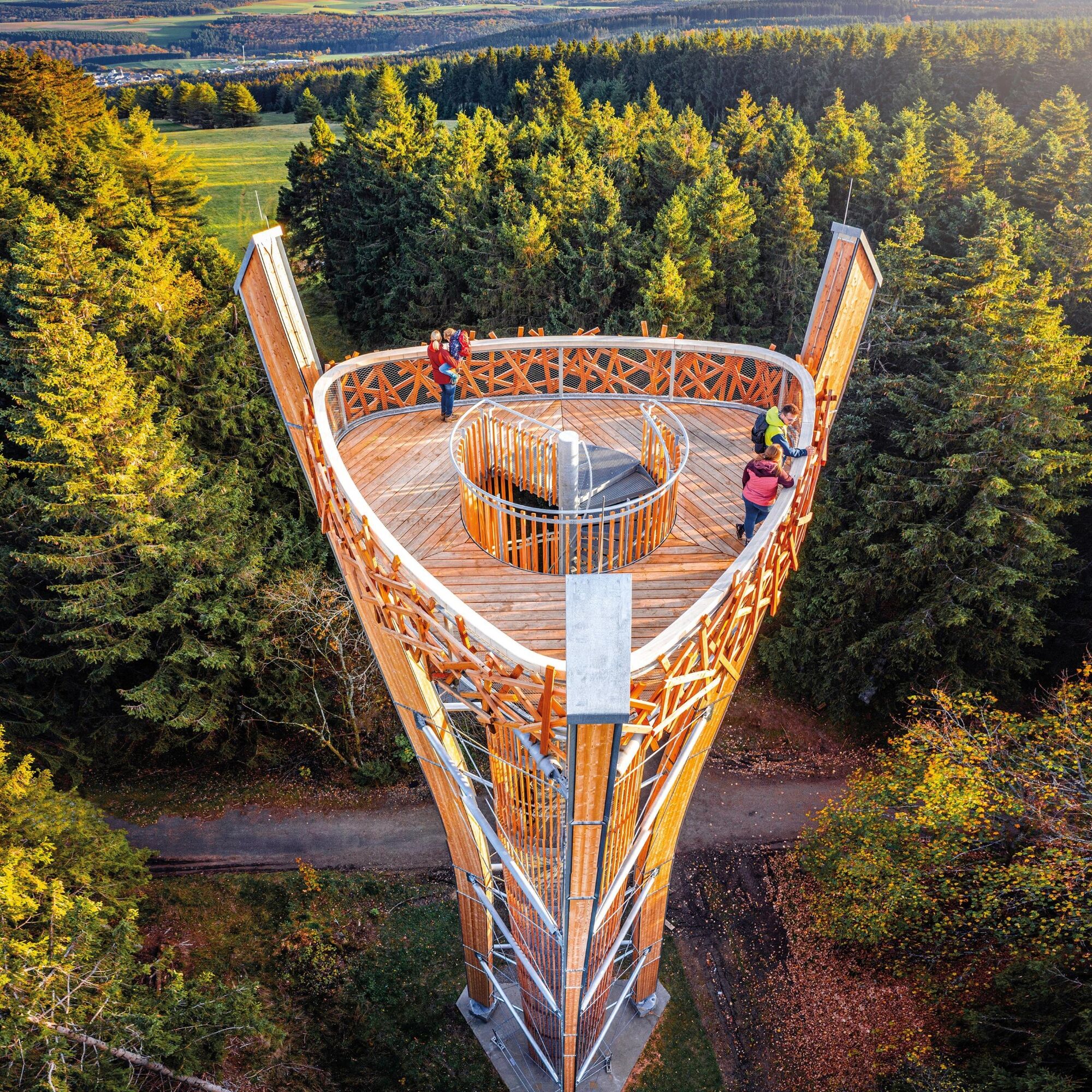

We start at the Idarwald hiking car park, which is located directly on the K24 between Stipshausen and Hochscheid. We cross the street and follow the path slightly uphill towards Idarkopf. The path is asphalted or gravelled. We reach the observation tower after about 2 km (about 25 minutes). There we climb the steps of the over 31 m high tower to enjoy the impressive view. Then we continue straight past the Idarkopf on the asphalted path. We follow the wayfinding for about 1,000 meters before the path turns left. Now we follow the path for about 2 km and then turn left. After about 1.5 kilometers, we reach the K24 again and the hiking car park, the starting point of the tour.
Sturdy footwear, drinks
This route is only a non-binding suggestion running on local service roads. There is no signage on site.
From the A 61 or A 62 via B 41 to Fischbach-Weierbach, continue on L 160, behind Herrstein at Weiden turn onto K 21. After the municipality of Hottenbach, turn right onto L 162 to Stipshausen. In the town, follow K24 towards Hochscheid. About 2.5 km after leaving the town, the "Idarwald" hiking car park is on the left side.
Coming from the B 327, you can reach the car park via Hochscheid, follow the K126/L24.
You can take line 890 (National Park bus between Neubrücke and Rhaunen) to the stop "Bikepark Idarkopf." From there, it is about a 2 km walk with almost 165 meters of elevation gain to the Idarkopf Tower. The circular hike can also be started from there. More information: https://www.outdooractive.com/de/route/wanderung/nahe/fussweg-von-der-haltestelle-bikepark-zum-idarkopfturm/801656275/
Current timetables at www.rnn.info
Hiking car park Idarwald between Stipshausen and Hochscheid on the K24
www.edelsteinland.de

Popularne wycieczki w okolicy
-
4,7
Dream Loop "Köhlerpfad am Steinbach"
średniWędrówka 13,4 km -
4,3
Dream loop "Medieval Path"
średniWędrówka 8,46 km -
5,0
National Park Dream Loop "Kirschweiler Festung"
średniWędrówka 9,08 km -
5,0
Bundenbach - Forellenhof
średniWędrówka 9,95 km -
4,3
Moselsteig side route Leiermannspfad
średniWędrówka 10,9 km -
5,0
Traben-Trarbach - Bernkastel en terug
średniWędrówka 17,2 km -
3,0
Dream Loop "Between the Forests"
średniWędrówka 10,7 km -
5,0
Moselsteig diversion Bernkasteler Bärensteig
średniWędrówka 6,49 km -
5,0
Ölmühlen Traumschleife
średniWędrówka 7,95 km -
Moselsteig detour Moseltalschanzen
ciężkiWędrówka 16,2 km
Wędrówki i tropienie


Nie przegap ofert i inspiracji na następne wakacje
Twój adres e-mail została dodana do listy mailingowej.





