


Medical spa trail MK III - blue
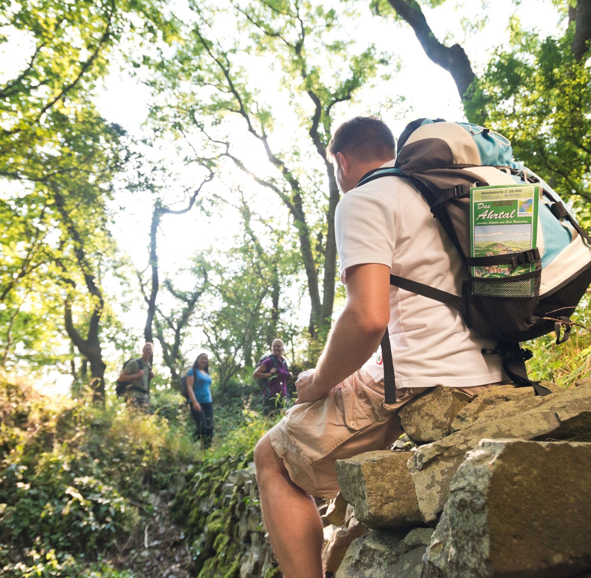
These are often referred to as terrain hiking trails and are ideal for health-oriented hiking.
The differentiation of the levels of exertion is color-coded and corresponds to the exertions listed below....
These are often referred to as terrain hiking trails and are ideal for health-oriented hiking.
The differentiation of the levels of exertion is color-coded and corresponds to the exertions listed below. All trails start at the Bad Neuenahr spa gardens.
Yellow routes
easy, up to 50 W for 15 min
Through Bad Neuenahr parks (MK I)
To the Josefsbrücke bridge in Walporzheim (MK II) (not yet accessible due to flooding)
Along the Ahr to Heimersheim (MK III) (not yet accessible due to flooding)
Blue routes
medium, 50 to 100 W for 20 min
To the Lourdes Chapel and through Bachem vineyards (MK I)
Around the Maibach farm in Ahrweiler (MK II)
Over the Steckender to the climate station (MK III)
Red routes
difficult, over 100 W for at least 15 min
Over the Neuenahrer Berg (MK I)
To the Landskrone castle ruins (MK II)
To the Bunte Kuh viewing pavilion (MK III) (not yet accessible due to flooding)
To the Katzley viewing pavilion (MK IV) (not yet accessible due to flooding)

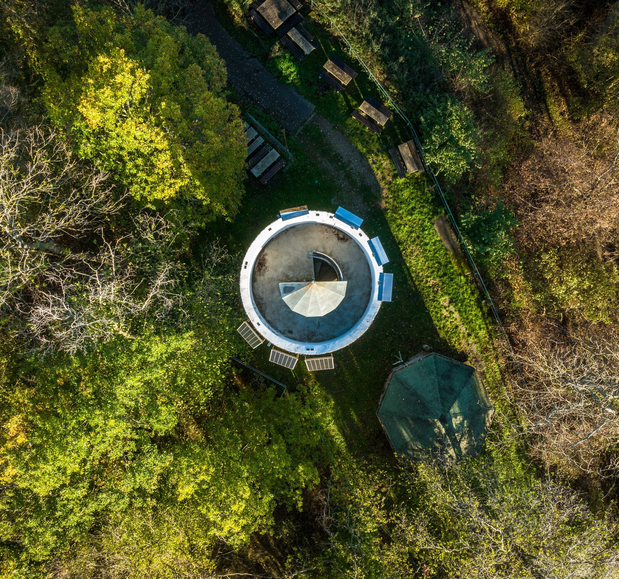
OVER THE STECKENBERG TO CLIMASTATION MK 3 Blau
Kurpark - Historic Thermal Bathhouse - City Library - Hochstraße - Burgweg - Hohlweg - Bischofsweg - Paradieswiese - Alte Königsfelder Straße - Kreuzrasthütte - Jakobsweg - Steckenberg tower - Klimastation hiking hut - forest climbing park - fitness trail - Paradieswiese - Kurpark
Tak
There are no safety instructions.
Via the highway 61 or the federal highway 257
Ahrtalbahn or rail replacement service or bus connection
Info under: www.bahn.de
There are several paid parking spaces available at the station and in the city.
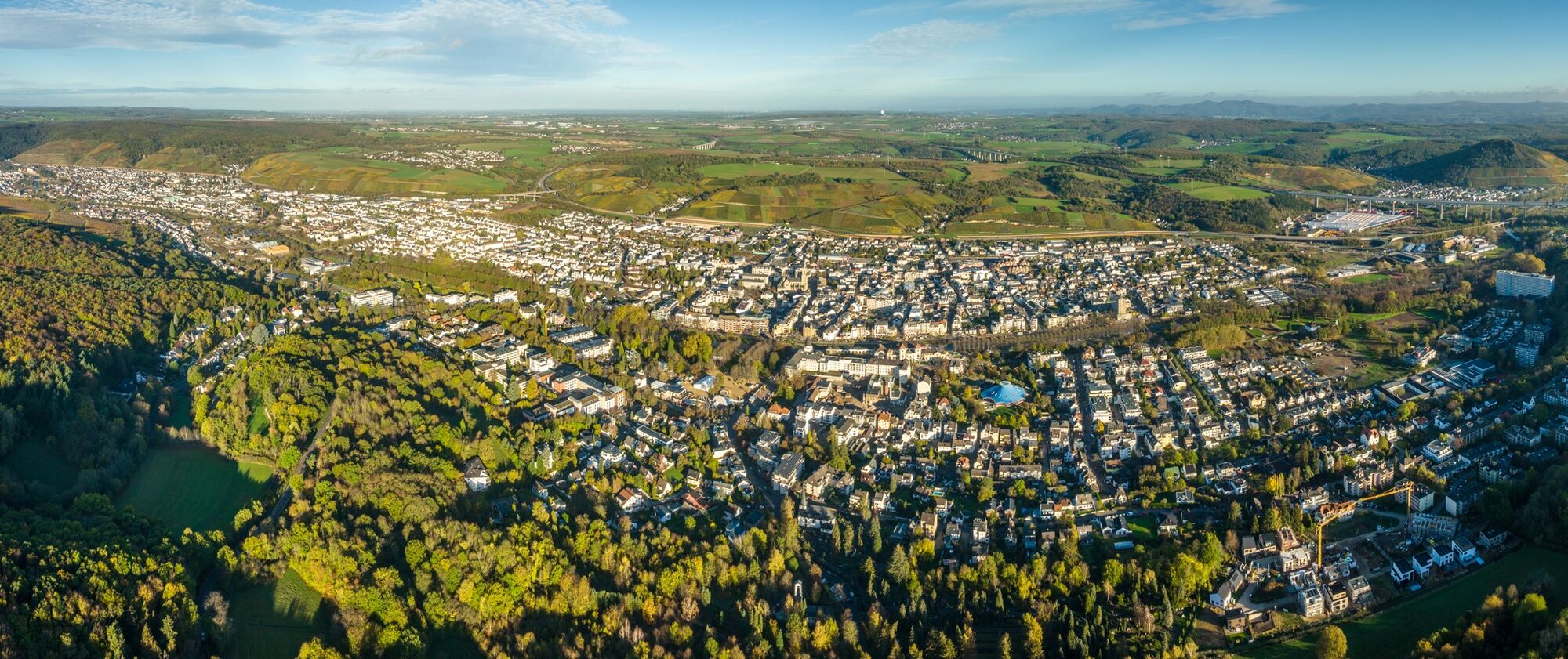
The Klimastation hiking hut is located between Bad Neuenahr and Königsfeld in the middle of Bad Neuenahr's municipal forest. It is currently no longer open to the public, but is still an idyllic destination for an excursion.
Popularne wycieczki w okolicy
-
4,0
Teufelsloch-Höhenwanderung
średniWędrówka 7,44 km -
5,0
Round route Bad Neuenahr No. 5 - Through the Ramersbach Forest
średniWędrówka 9,31 km -
Weinwanderung Dernau nach Ahrweiler
Wędrówka 23,4 km -
4,7
Rundwanderung Rech / Steinerberg
średniWędrówka 14,2 km -
5,0
Kasbachtal
światłoWędrówka 10,2 km -
Burg Are - Engelsley Nord - Süd und im Tal zurück
ciężkiWycieczki górskie 3,63 km -
5,0
Leichte Rund-Wanderung Dernau / Mayschoß
światłoWędrówka 5,46 km -
3,5
Rund um die Safenburg
światłoWędrówka 8,10 km -
5,0
Rund um Mayschoß und Altenahr
średniWędrówka 17,3 km -
5,0
AhrSteig Etappe 5: Kreuzberg-Walporzheim
długodystansowy szlak pieszy 14,6 km
Wędrówki i tropienie


Nie przegap ofert i inspiracji na następne wakacje
Twój adres e-mail została dodana do listy mailingowej.