


Medical spa hiking trail MK I - blue
These are often also referred to as terrain hiking trails and are excellently suited for health-oriented hiking.
The differentiation of load levels is color-coded and corresponds to the loads specified...
These are often also referred to as terrain hiking trails and are excellently suited for health-oriented hiking.
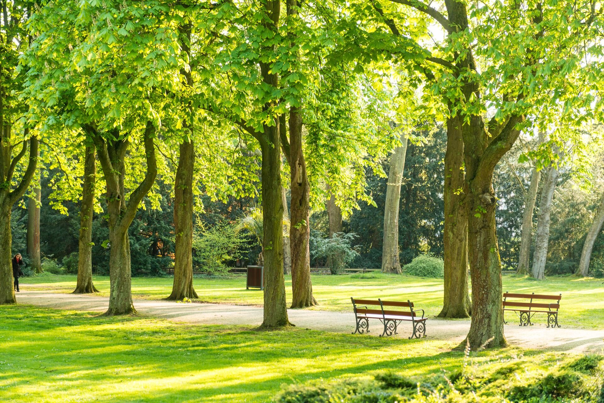
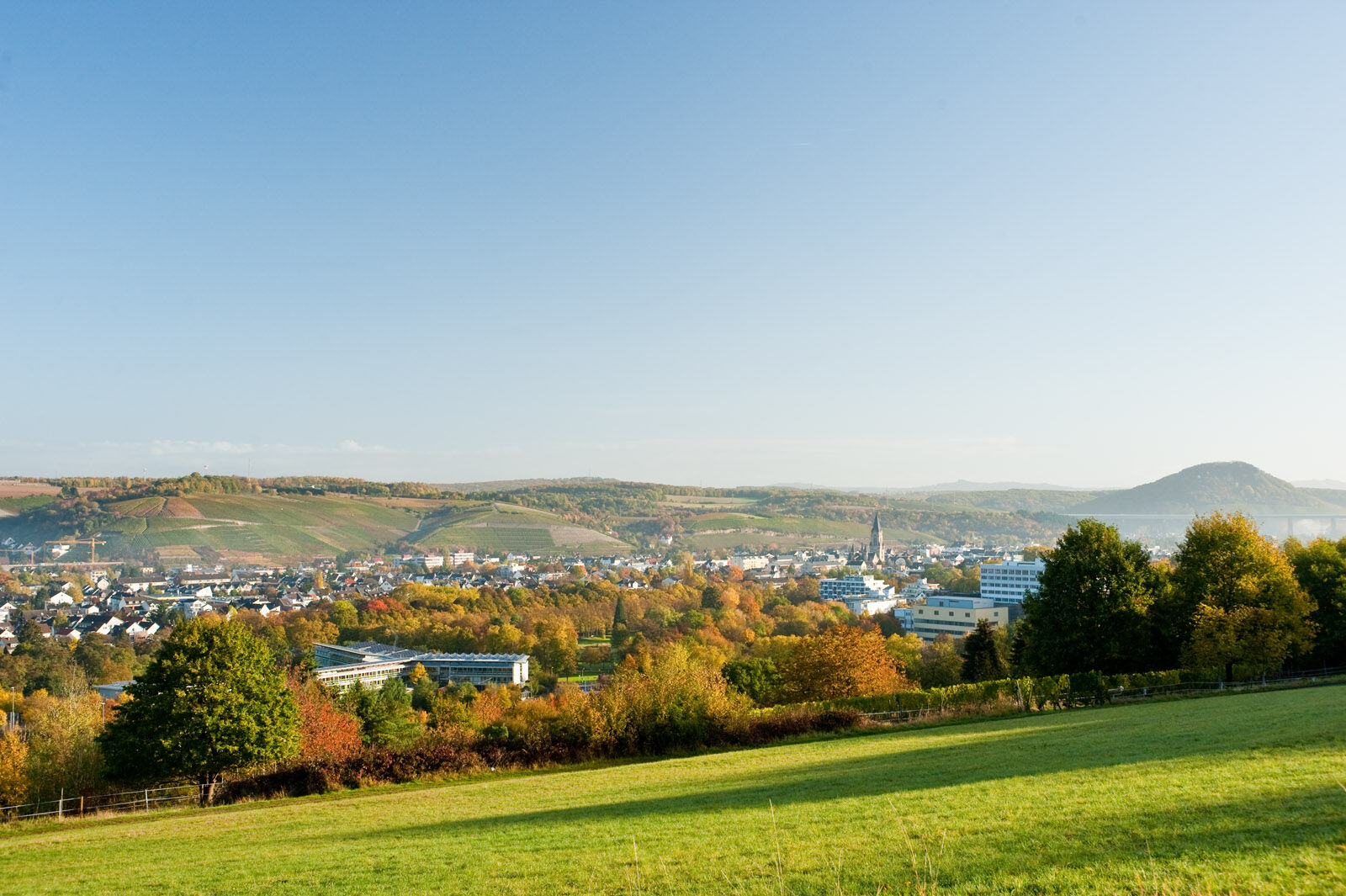
The differentiation of load levels is color-coded and corresponds to the loads specified below. All trails start at the Kurpark Bad Neuenahr.
Yellow routes
easy, up to 50 W for 15 min
Through Bad Neuenahr parks (MK I)
To the Josefsbrücke in Walporzheim (MK II) (not yet passable due to flooding)
Along the Ahr to Heimersheim (MK III) (not yet passable due to flooding)
Blue routes
medium, 50 to 100 W for 20 min
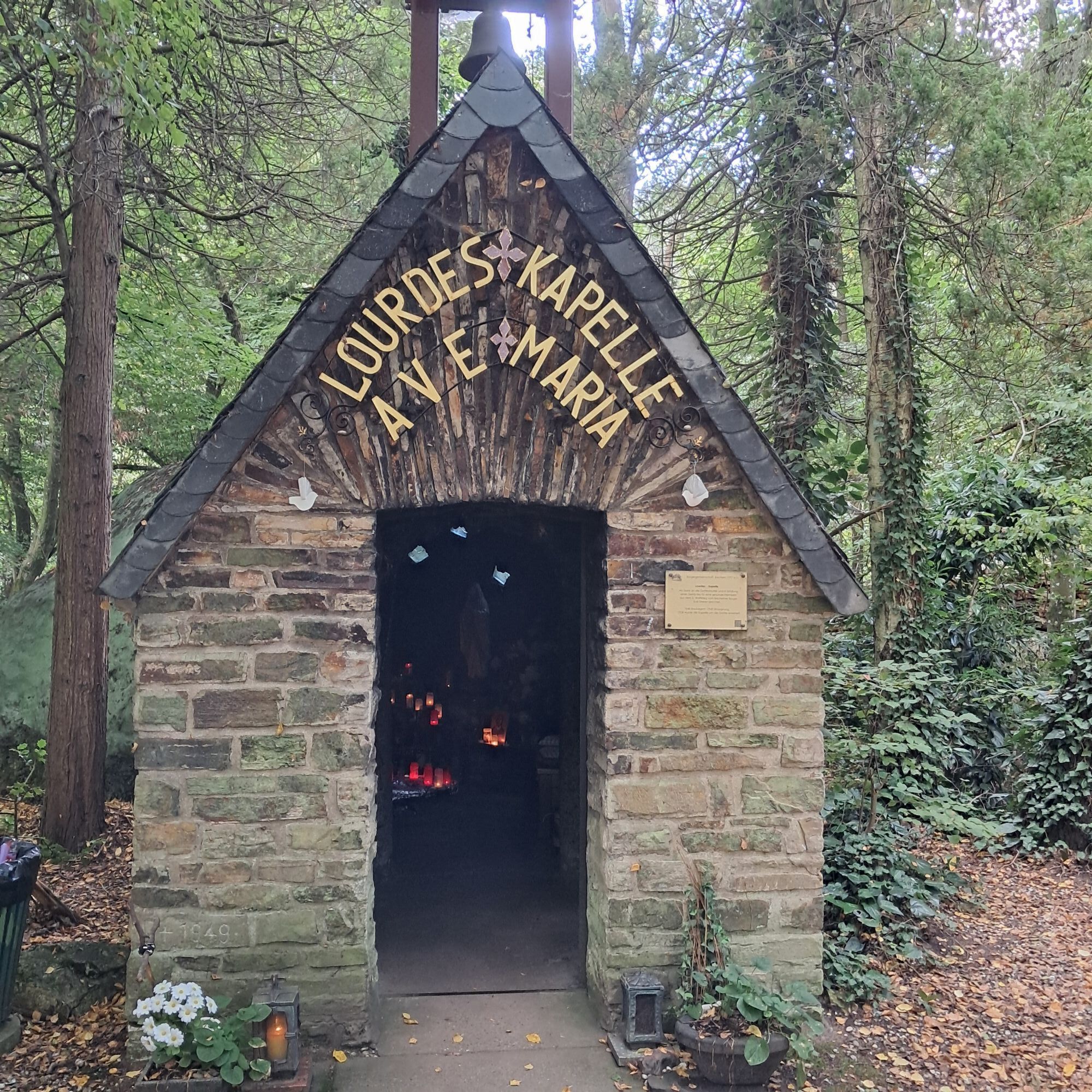
To the Lourdes Chapel and through Bachem vineyards (MK I)
Around the Maibachfarm in Ahrweiler (MK II)
Over the Steckender to the climate station (MK III)
Red routes
hard, over 100 W for at least 15 min
Over the Neuenahr mountain (MK I)
To the Landskrone castle ruins (MK II)
To the Bunte Kuh lookout pavilion (MK III) (not yet passable due to flooding)
To the Katzley lookout pavilion (MK IV) (not yet passable due to flooding)


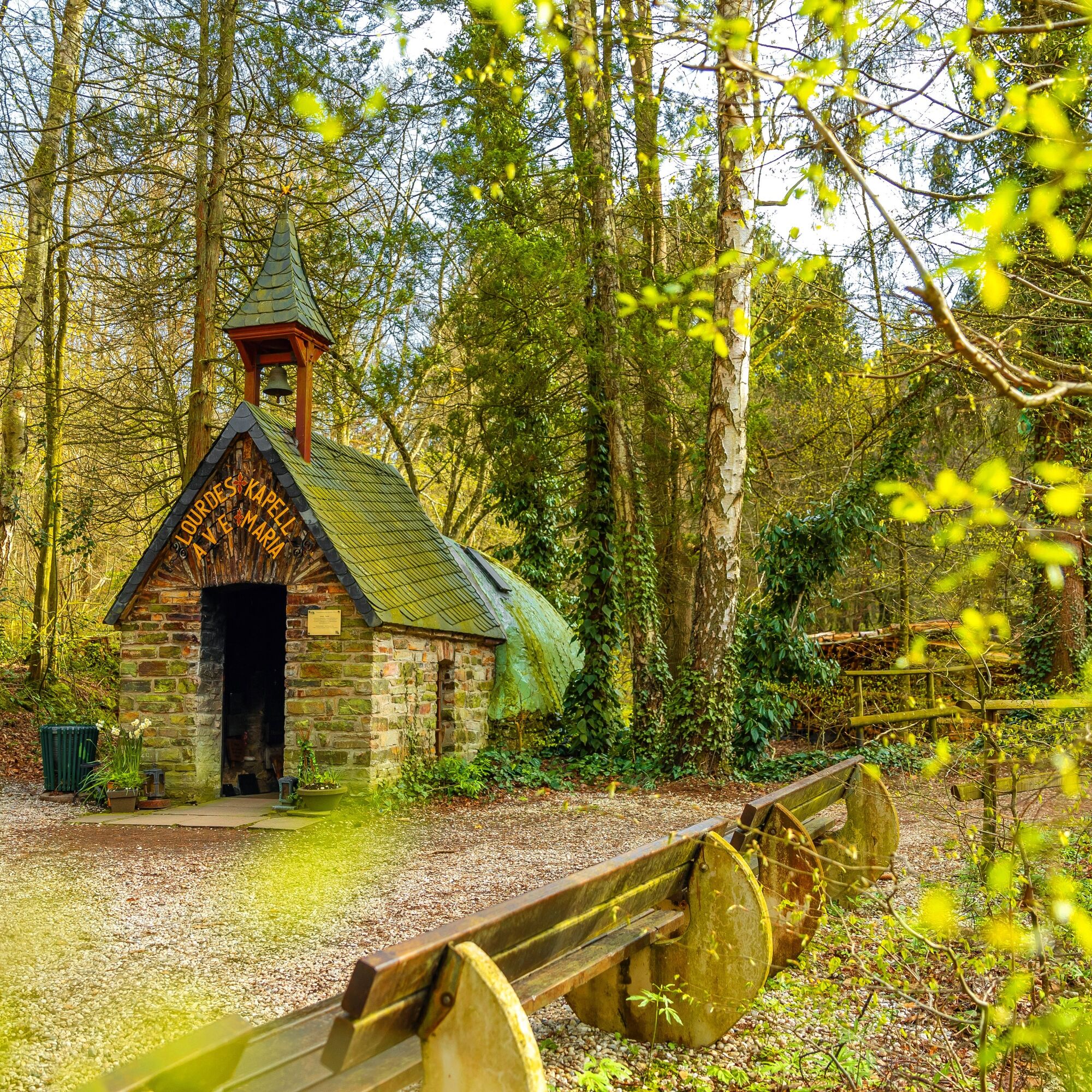
TO THE LOURDES CHAPEL AND THROUGH BACHEM VINEYARDS MK 1 Blue
Kurpark – Kurgartenbrücke – Kaiserin-Auguste-Viktoria-Park – Amseltalbrücke – Ahrtal-Werke – Underpass – Bachem vineyards – Bachem village square – Lourdes Chapel – Shelter on Karlsberg – Bachem vineyards – Dahlia garden – Kurpark
Sturdy footwear
There are no safety instructions.
Via the motorway 61 or the federal road 257
Use the Ahrtalbahn to Bad Neuenahr station or bus connections.
Several paid parking spaces are available at the station and in the town.
Out of gratitude for his safe return from World War II, the shoemaker from Bachem, Karl Dresen, built the Lourdes Chapel in 1948. The chapel has since developed into a pilgrimage site visited by believers from near and far.
Popularne wycieczki w okolicy
-
4,0
Teufelsloch-Höhenwanderung
średniWędrówka 7,44 km -
5,0
Round route Bad Neuenahr No. 5 - Through the Ramersbach Forest
średniWędrówka 9,31 km -
Weinwanderung Dernau nach Ahrweiler
Wędrówka 23,4 km -
4,7
Rundwanderung Rech / Steinerberg
średniWędrówka 14,2 km -
5,0
Kasbachtal
światłoWędrówka 10,2 km -
Burg Are - Engelsley Nord - Süd und im Tal zurück
ciężkiWycieczki górskie 3,63 km -
5,0
Leichte Rund-Wanderung Dernau / Mayschoß
światłoWędrówka 5,46 km -
3,5
Rund um die Safenburg
światłoWędrówka 8,10 km -
5,0
Rund um Mayschoß und Altenahr
średniWędrówka 17,3 km -
5,0
AhrSteig Etappe 5: Kreuzberg-Walporzheim
długodystansowy szlak pieszy 14,6 km
Wędrówki i tropienie


Nie przegap ofert i inspiracji na następne wakacje
Twój adres e-mail została dodana do listy mailingowej.