


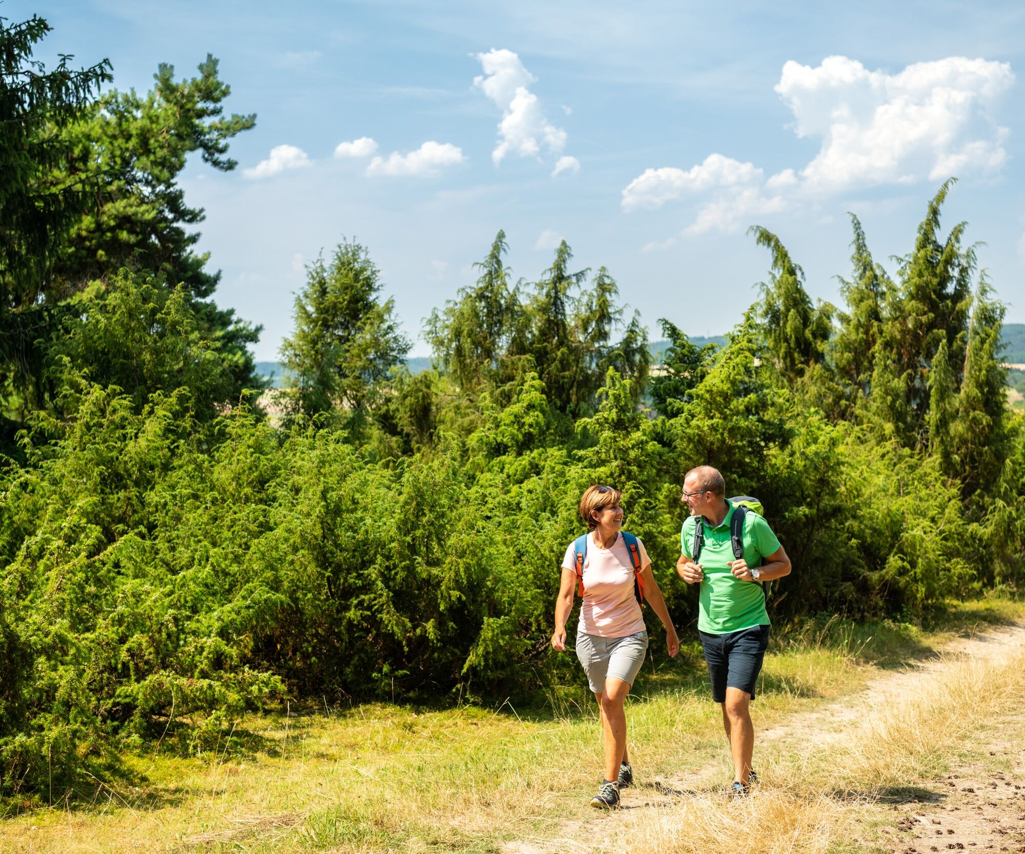
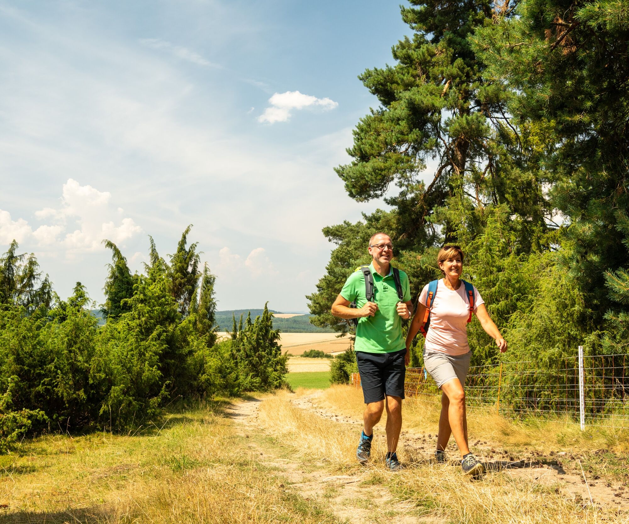
Vogtei Circular Hiking Route
The Ziegenkopf in Welterod is the highest elevation in the region at 485 m. You can expect a varied, well-marked route on the state border between Rhineland-Palatinate and Hesse, with many panoramic views:...


From the sports field on the edge of the municipality of Welterod, the path follows along the forest edge, then briefly between fields and into the forest. You are on the historic route of the "Kohlstraße," which was used, among other things, for transporting charcoal.
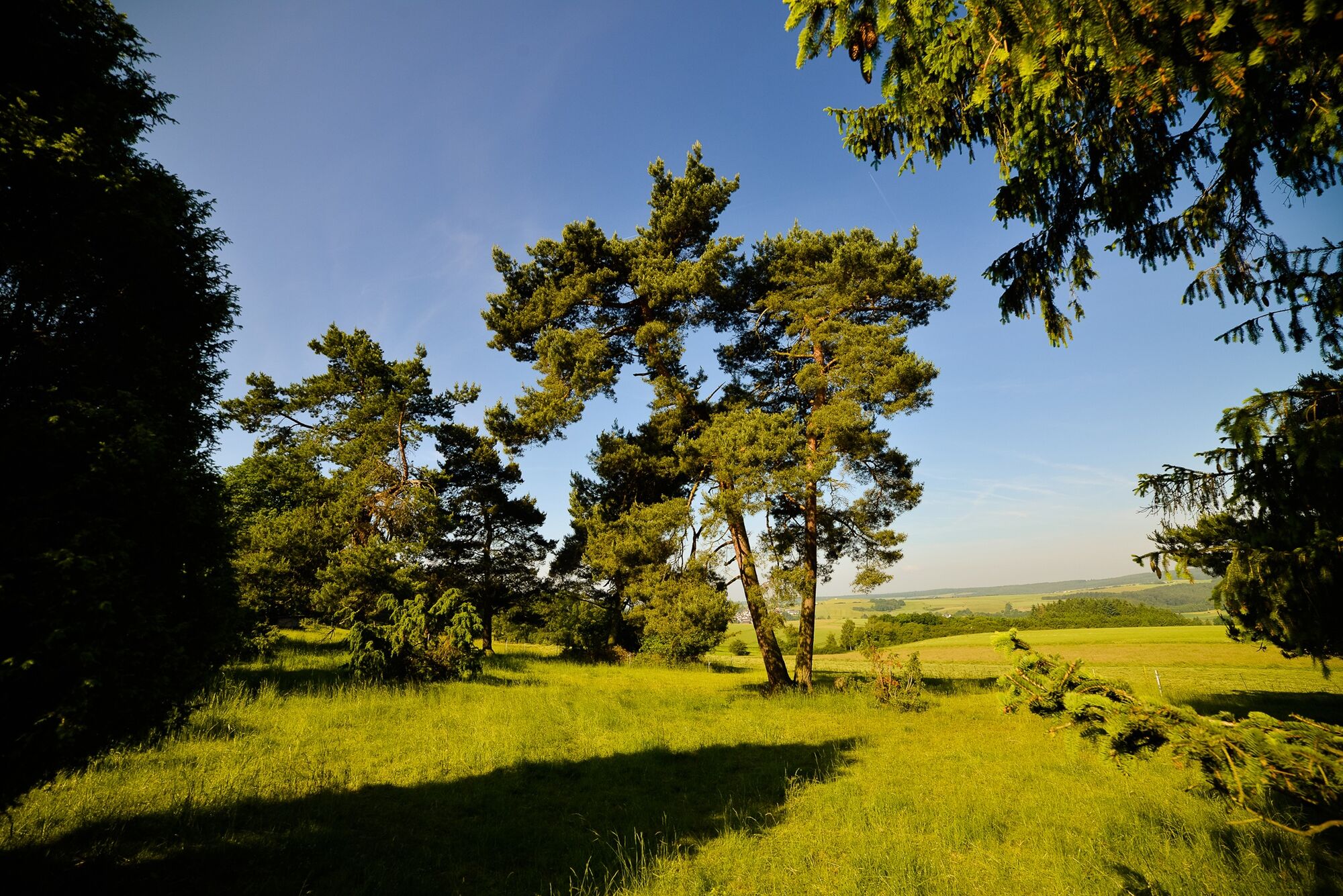
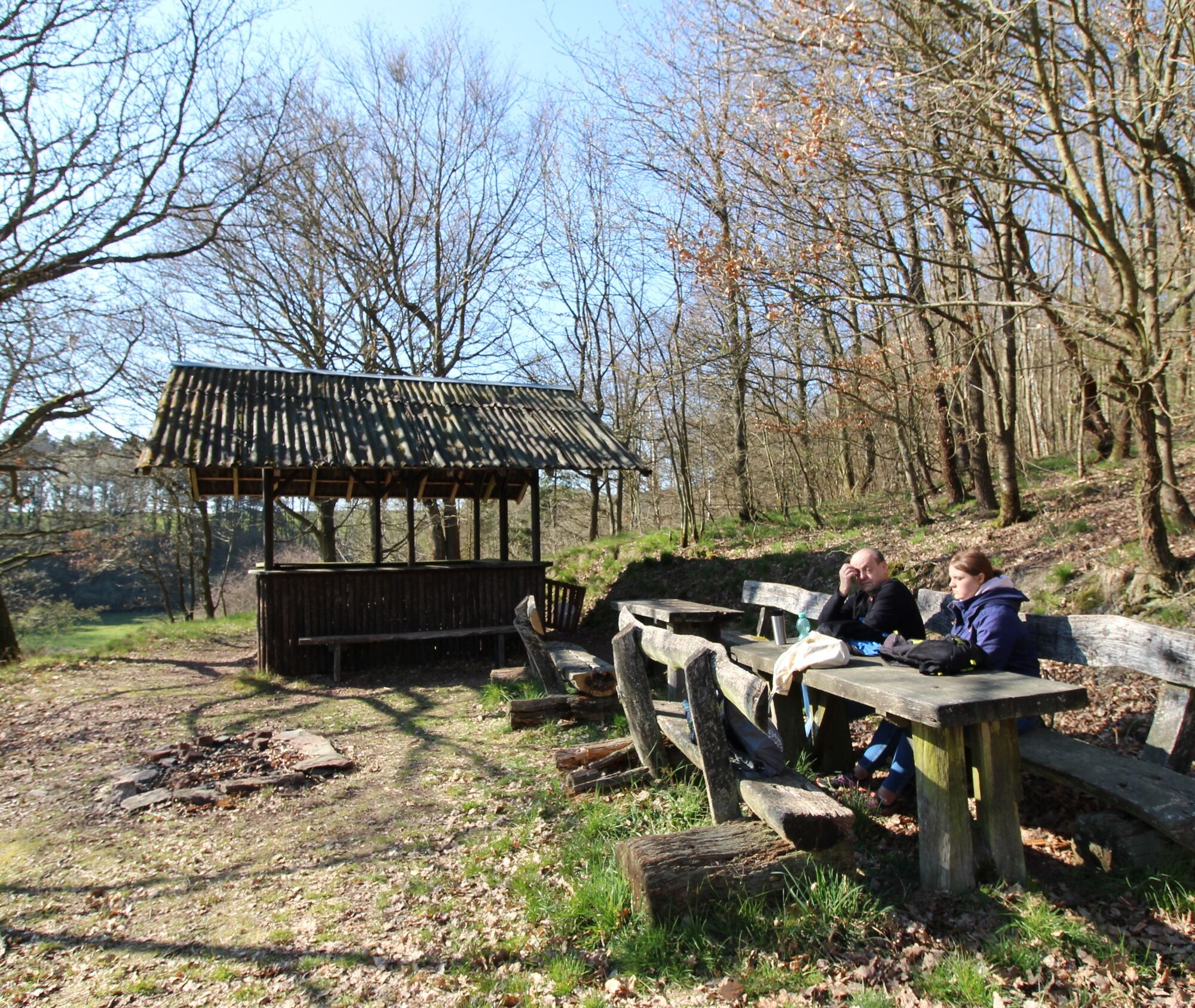
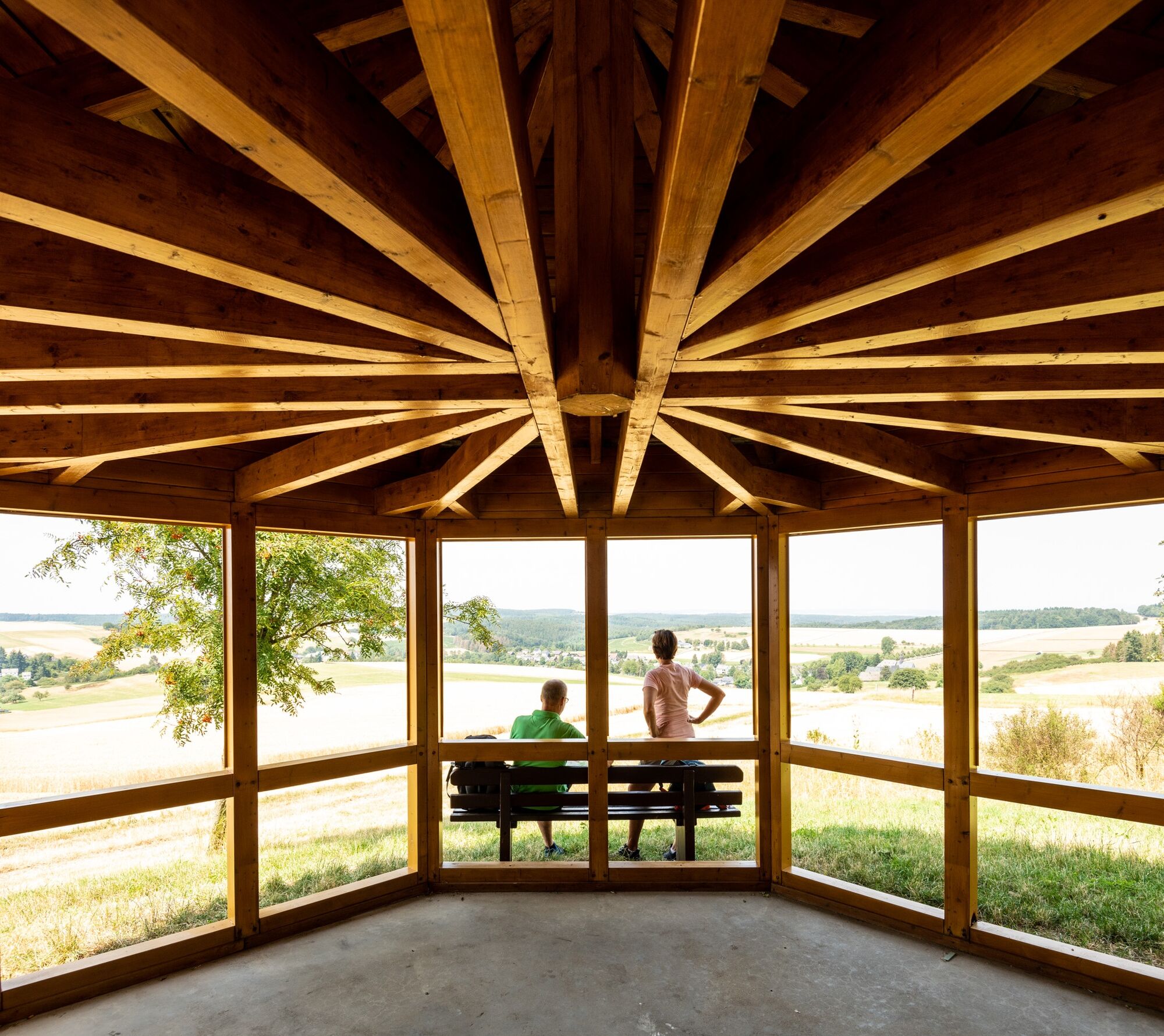
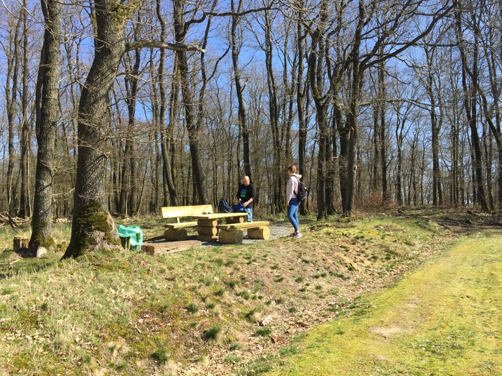
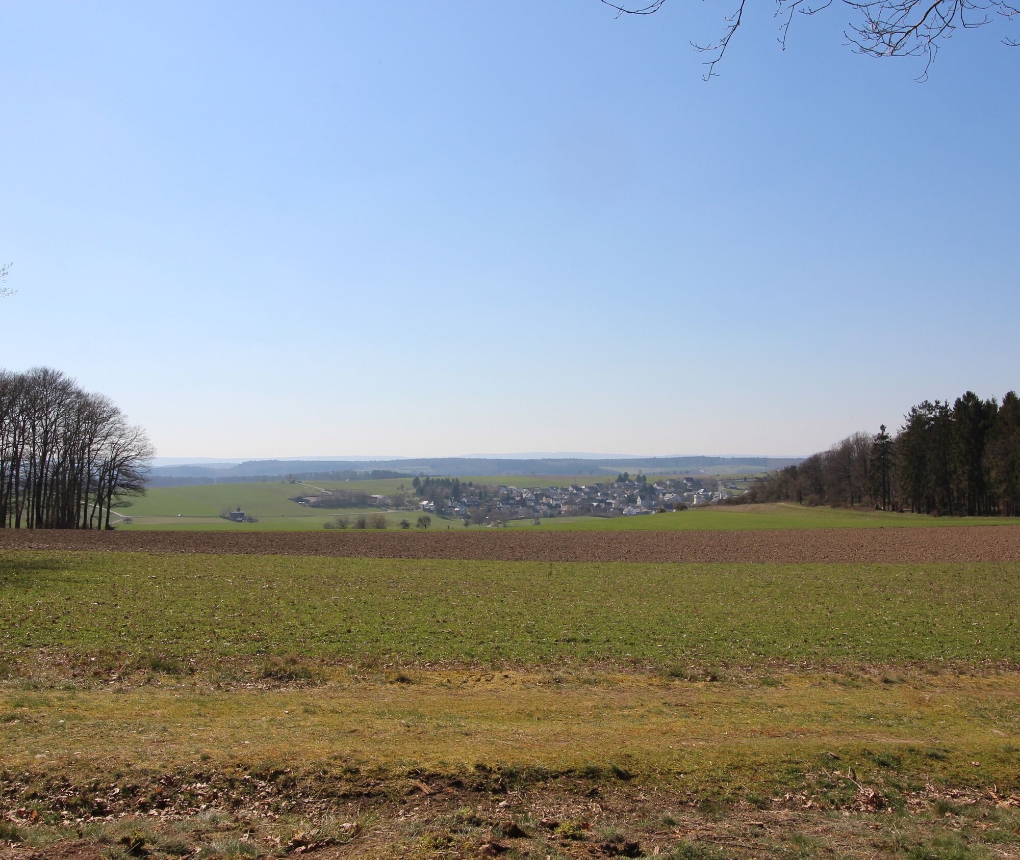
The Vogtei circular hiking route leaves the wider forest path and turns right onto a trail towards the Ziegenkopf. From there you get a view of Welterod (with a seating area at the forest edge), though as the highest mountain in the region it hardly stands out! Continuing to the right along the forest edge to the Eisheck shelter (a rest area with a panoramic view).
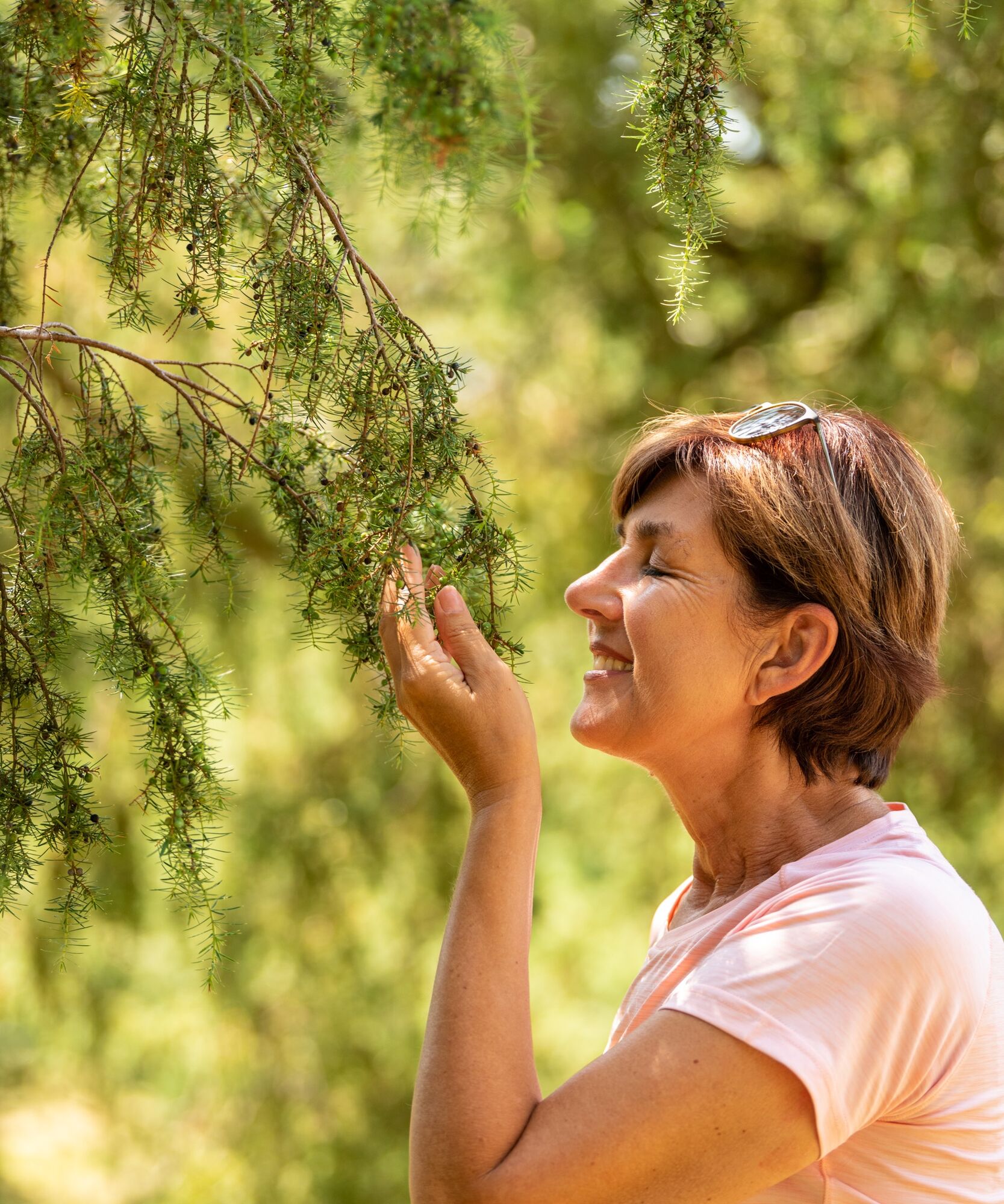
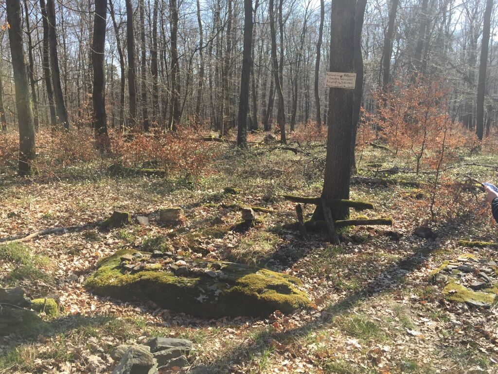
Now to the left by the roadside follows the elongated Wacholderheide nature reserve. Along the way, you should follow the sign pointing to the burial mounds, located about 200 m off to the right. Some mounds can be seen in the forest, and one of the Celtic graves has been partially uncovered.
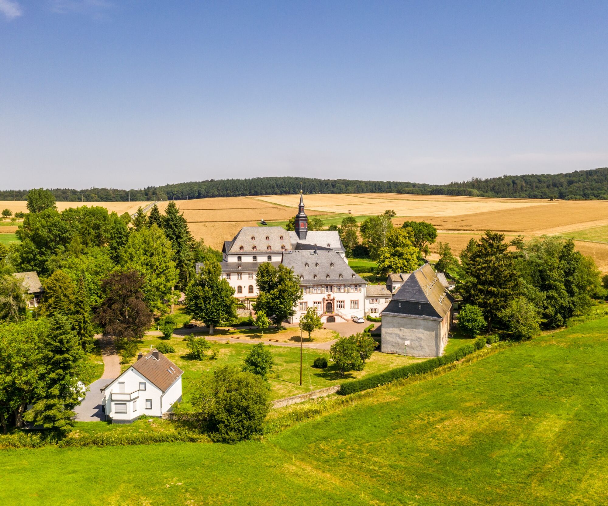
Continue on the newly developed forest path until its end, where you meet the old Kohlstraße again. From the viewpoint towards Hesse, walk left; at the next fork, also left, towards the Mühlbach valley. This descends in the direction of Strüth, where soon on the right you will see the church tower and the economic buildings of the former Schönau monastery.
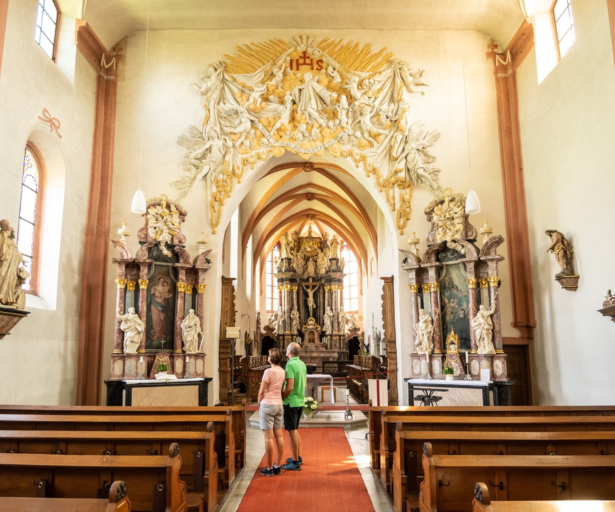
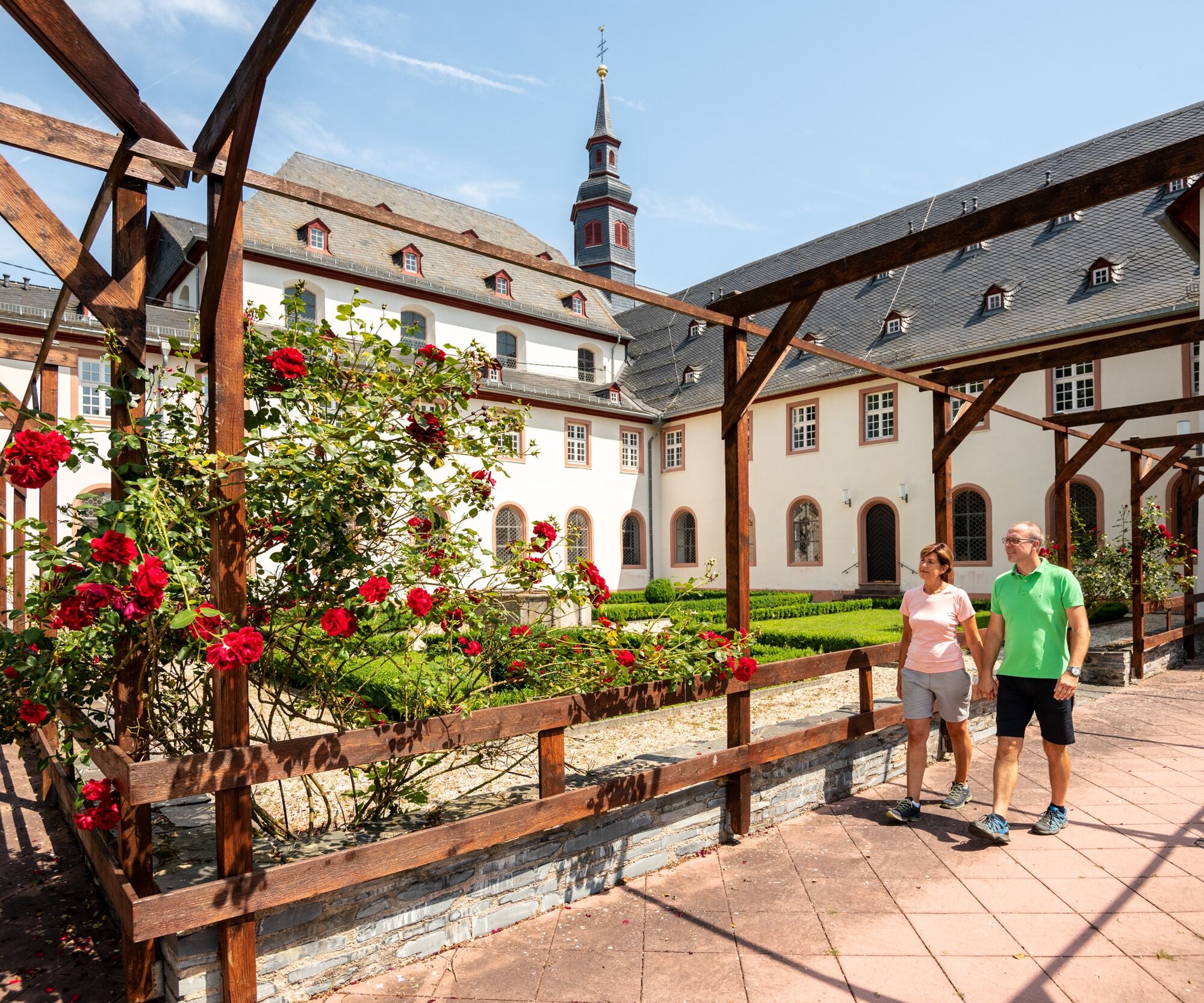
At the first houses of Strüth, turn right onto the L336 and take a detour to the old monastery complex. Here once lived Saint Elisabeth of Schönau, a mystic and correspondent of Hildegard of Bingen.
From the monastery gate, turn right and immediately left into Brühl-Weiher-Str., first turning right into "Im Mühlstück," then straight ahead into the fields. On field paths, circle around the height of the Eichelberg, then descend through the forest valley to the Mühlbach. Cross the L335, at the next forest path junction turn left, and follow the signs slightly uphill towards Feuerkopf.
From the forest edge and through the fields, reach the L333 at the height of the Waldeck farm, leave it on the right, and descend through meadows and fields into the Werkerbach valley. Pass some beautifully situated fish ponds, left over the K98 and immediately right again through the forest uphill; at the end of the path, turn right downhill again.
You don't necessarily have to follow the signs to a Celtic "rampart" and the "Old Castle," as there is hardly anything to see.
After the forest ends, there is again a beautiful distant view: from a bench near three small trees, you can enjoy it at the site of the former Rödel farm with its barely visible remnants of walls. The lighting of the sports field at the forest edge marks the end of the long "home stretch."
We recommend bringing a packed lunch, as you only hike into the village at Strüth – which has a restaurant.
However, you should always carry enough to drink along the way.
Food tastes especially good in the fresh air during a picnic on the meadow or at a resting bench!
Closed shoes are advantageous. This prevents dirt or small stones from entering the shoe! Hiking poles can also be useful.
A3 AS Limburg, A54, A274 to Nastätten, L335 and L333 to Welterod or from the south L3033 and L3031.
The starting point is hardly reachable by public transport. From the Kaub and Lorch stations: Taxi Zimmermann (Tel. 06726 / 5 02), St. Goarshausen station: Taxi Loreley (Tel. 0171 / 2 76 89 39), bus from St. Goarshausen via Nastätten to Limburg (Line 580 of NVG), then taxi from Nastätten (Tel. 0160 / 97 81 91 82).
Sports field of Welterod (signposted).
The old "Kohlstraße" is named because charcoal was transported here in the past, among other things.
Idyllic fish ponds in the Werkerbach valley near Lipporn
Popularne wycieczki w okolicy
- 5,0
Traumschleife Mittelrhein
ciężkiWędrówka 14,7 km - 4,5
Durch den Kammerforst zum Teufelskadrich
światłoWędrówka 12,3 km - 5,0
Panorama trail St. Goar
średniWędrówka 8,47 km - 5,0
Traumschleifchen Pfalzblick
światłoWędrówka 5,68 km - 4,3
Dream loop Werlau Mushroom
światłoWędrówka 5,60 km - 5,0
Kaub - Burg Herzogenstein - Spitznack - Hasenberg
ciężkidługodystansowy szlak pieszy 22,1 km - 5,0
Kaub - Bacharach - Clemenskapelle - Pfarrkirche St. Martin
średnidługodystansowy szlak pieszy 13,8 km - 3,0
Dream route Spitzer Stein
średniWędrówka 6,64 km Traumschleife Schwede-Bure
średniWędrówka 11,9 kmWisper Trail Wispertalsteig
średniWędrówka 14,0 km

Wędrówki i tropienie


Nie przegap ofert i inspiracji na następne wakacje
Twój adres e-mail została dodana do listy mailingowej.