



Wine discovery tour

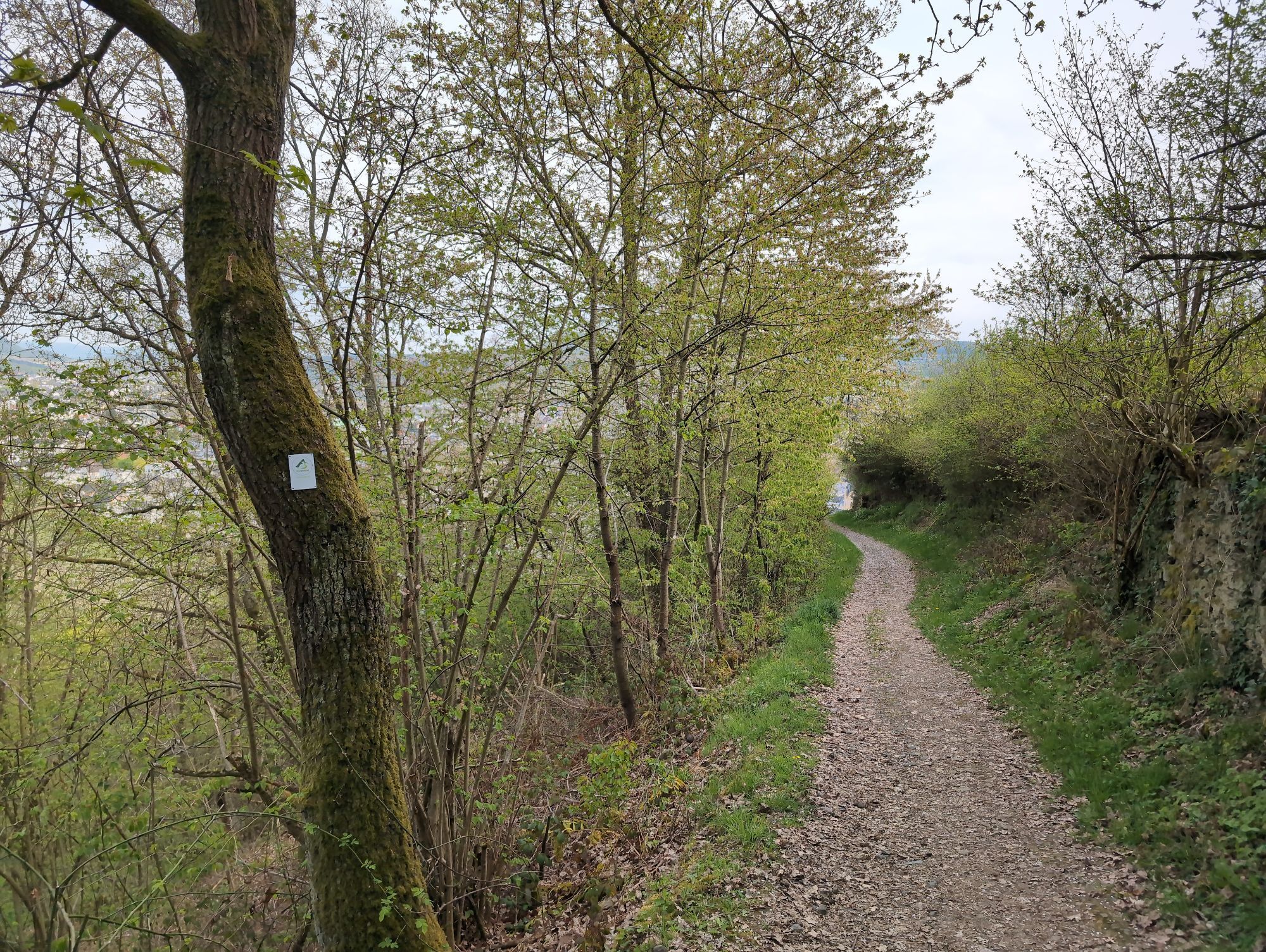


The newly designed tour with 28 themed boards offers magnificent views of the vineyards, the Ahr valley, the Rhine valley and the Siebengebirge mountains along a panoramic route. Several rest areas along...
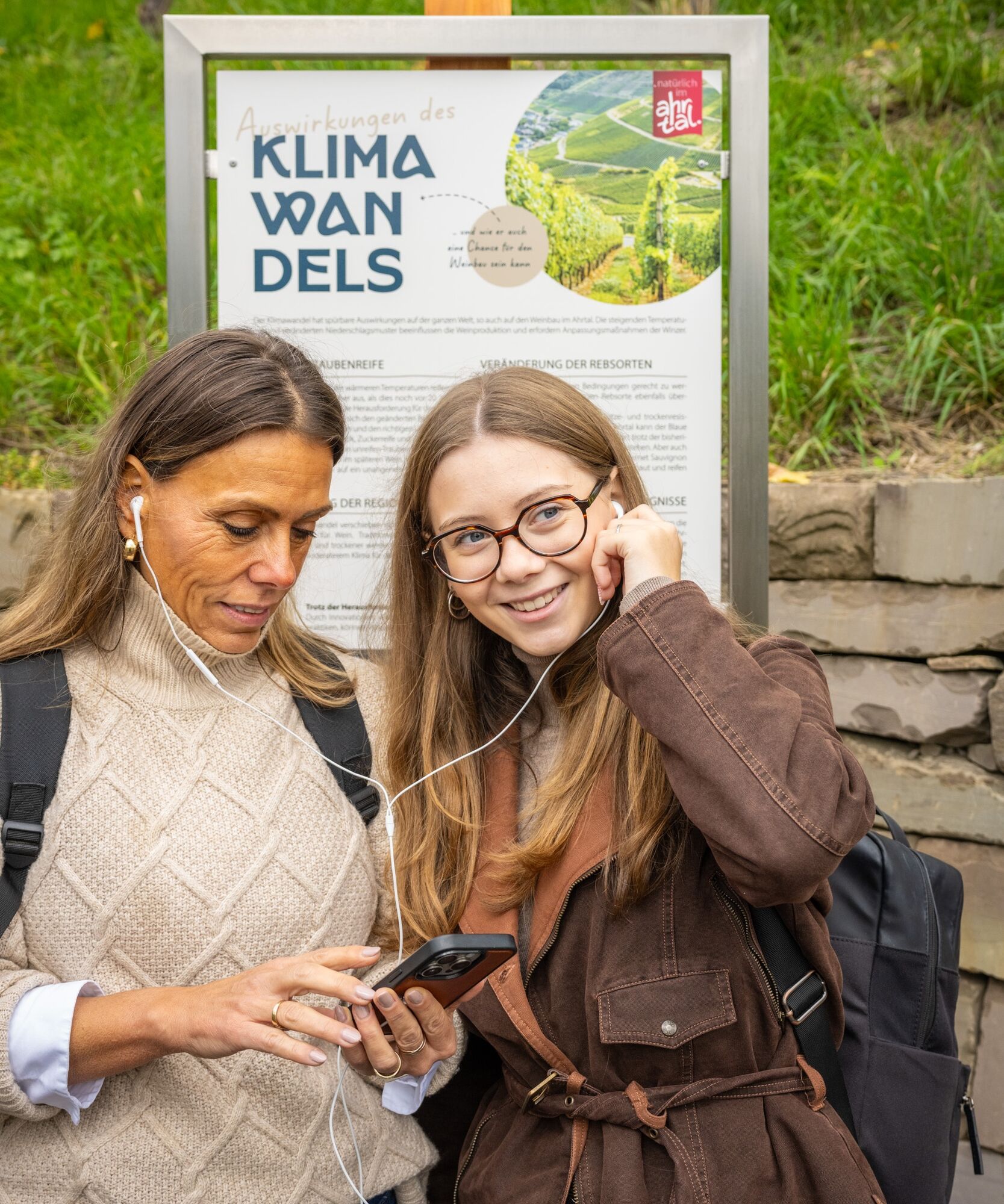
With the "Lauschtour", which will add another experience to the wine discovery tour from mid-2026, you can learn more about the big and small features along the way. At selected points, there will be exciting insider knowledge about wine, history and nature - personally commented on by connoisseurs of the Ahr Valley.
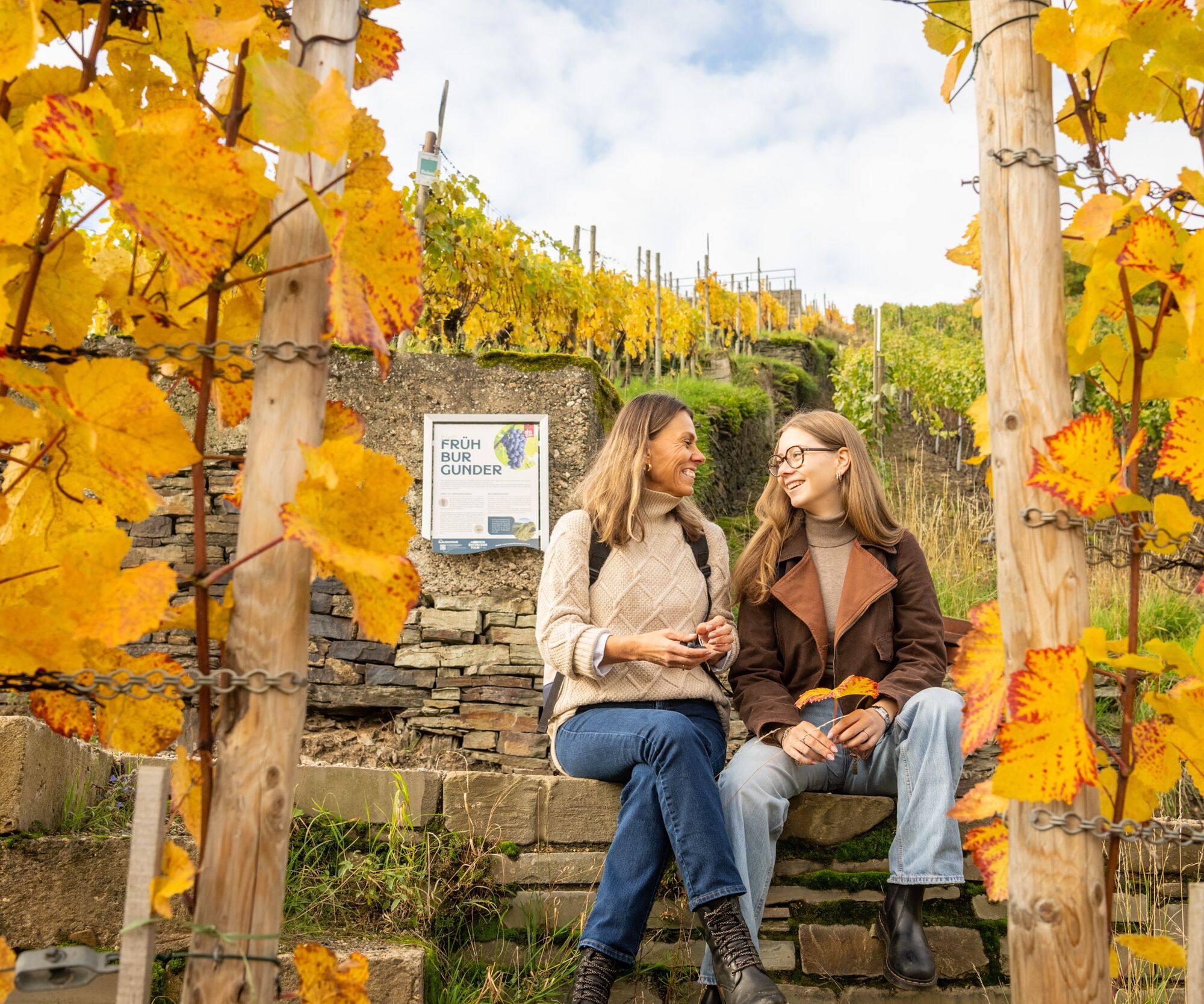
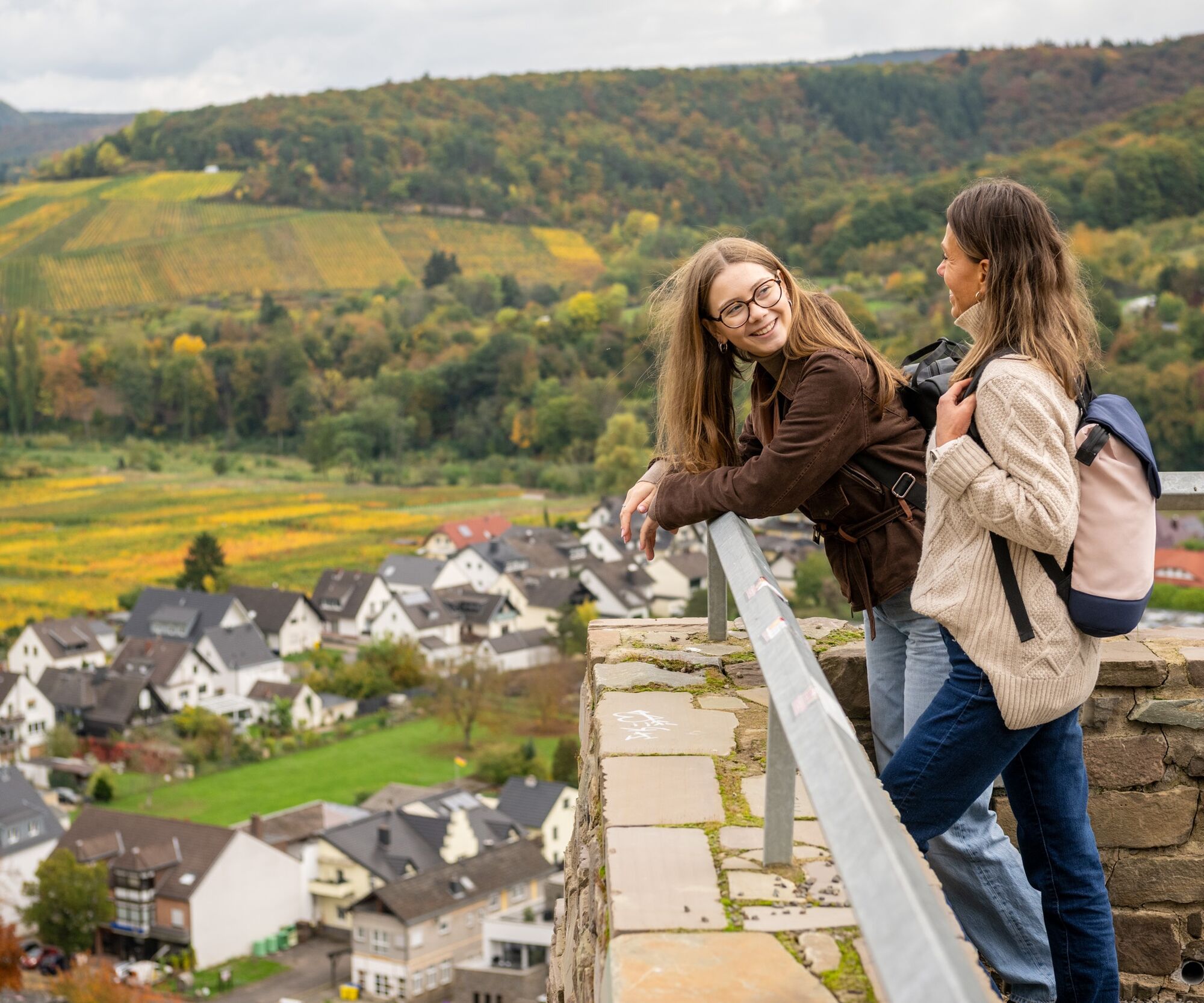

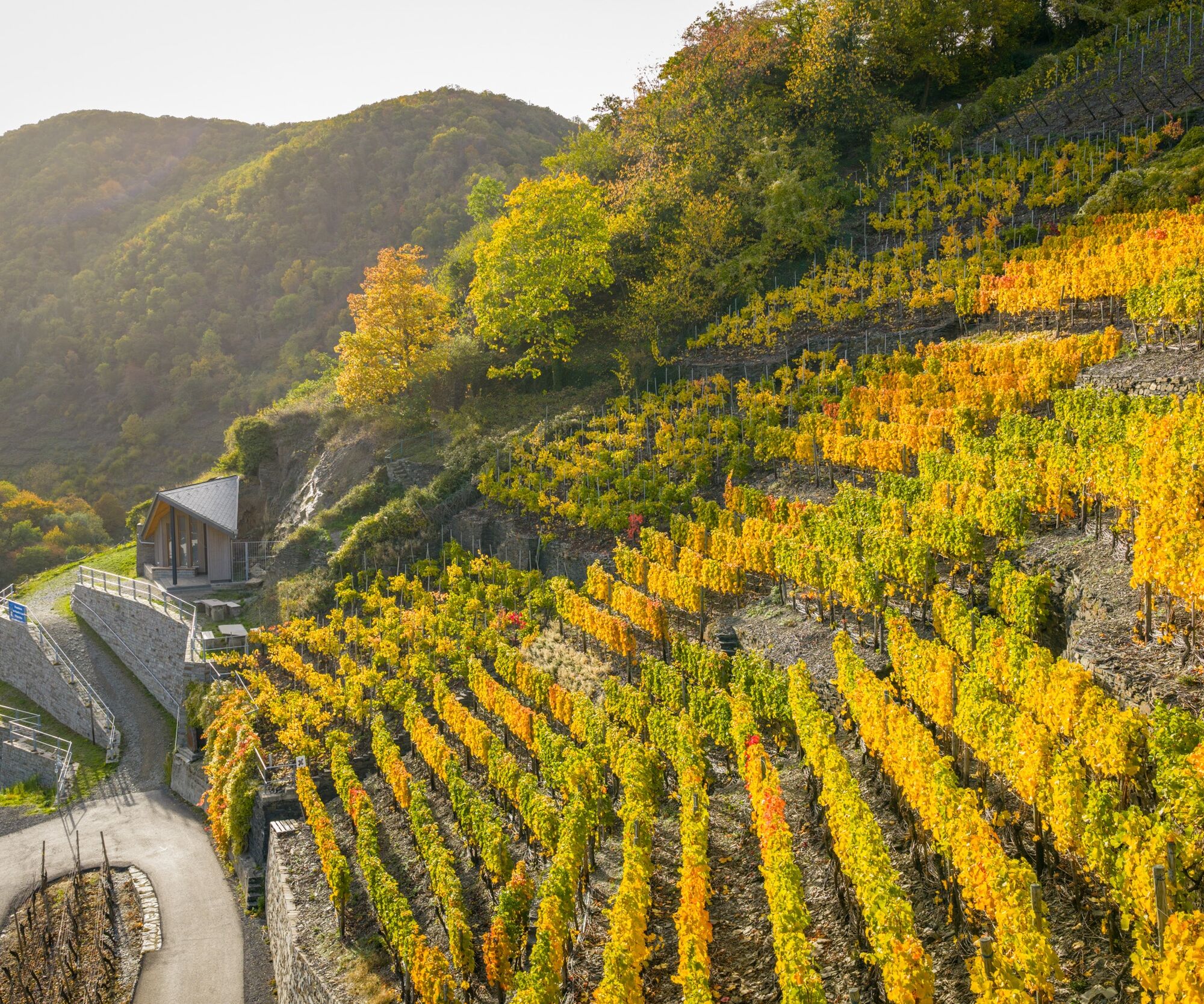
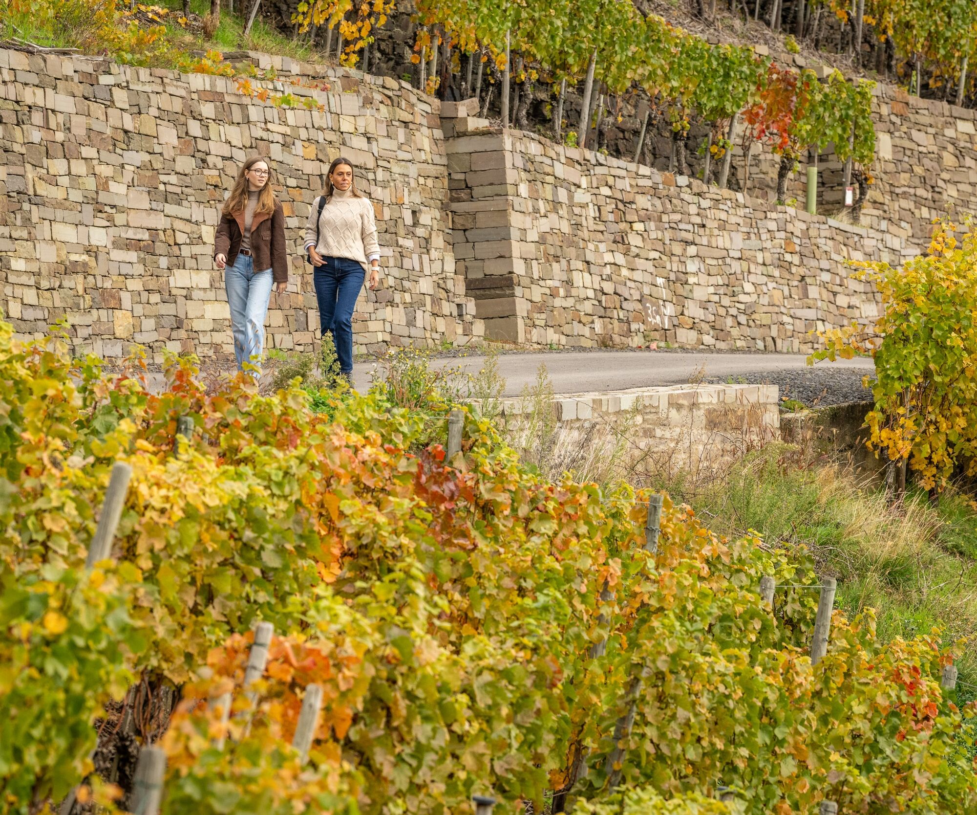



From the large overview board of the "Wine Explorer Tour", we walk up the road and pass the pillars of a planned railroad line (now a high ropes course). The concrete pillars are part of a viaduct on the never-completed railroad line from Liblar (near Cologne) to Trier. The path continues opposite (or sharp left from below), following the red wine hiking trail that soon joins from the right - again through vineyards.
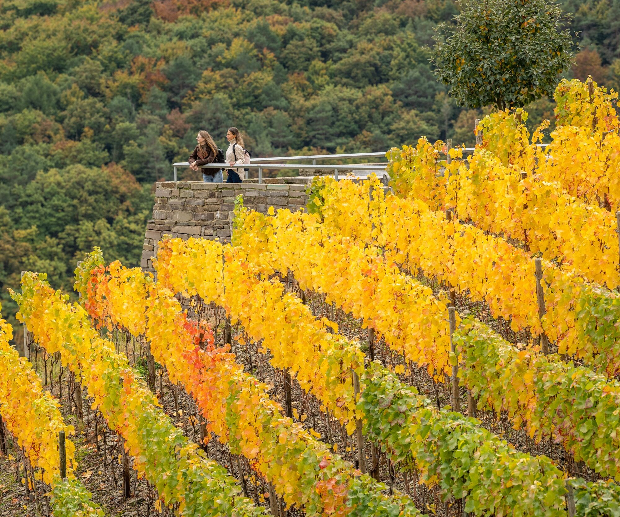
We pass the wooden cross commemorating World Youth Day 2005 in Cologne and the slight bend to the left opens up a sweeping view: Below us the Ahr valley with Ahrweiler, the northern town wall and the Ahrweiler forest, to the left Bad Neuenahr, the volcanic cone of the Landskrone and behind it the Rhine valley with the Siebengebirge.
We stay on the red wine hiking trail, which runs past gabions - the retaining walls made of natural stones in wire grids - and after 800 m follow the sign "Hotel Hohenzollern" uphill at a small parking lot. At the next right-hand bend, turn left up the narrow path, then before the hotel parking lot take the path branching off to the left, which first climbs slightly and after 1.2 km descends again at the left-hand bend through the vineyards above Walporzheim. We reach the flood chapel built after the Ahr flood in 2021. Opposite you can see the "Katzley" viewing pavilion at the top.
The route now continues downhill along the vineyards and then parallel to the main road to the "Römervilla". We cross the road "Am Silberberg" and walk above the main road back to the starting point.
Tak
Sturdy shoes
Via the B267
Starting in Ahrweiler: Bus stop Ahrweiler Markt
If starting in Walporzheim: Bus stop Walporzheim
If starting in Walporzheim: Walporzheim parking lot, Prümer Str. 7, approx. 250 m walk to the starting point
Recommended starting points for the tour are the Ahrweiler Markt or Walporzheim train stops. However, as the information boards do not have a predetermined order, you can start the circular tour at any point.
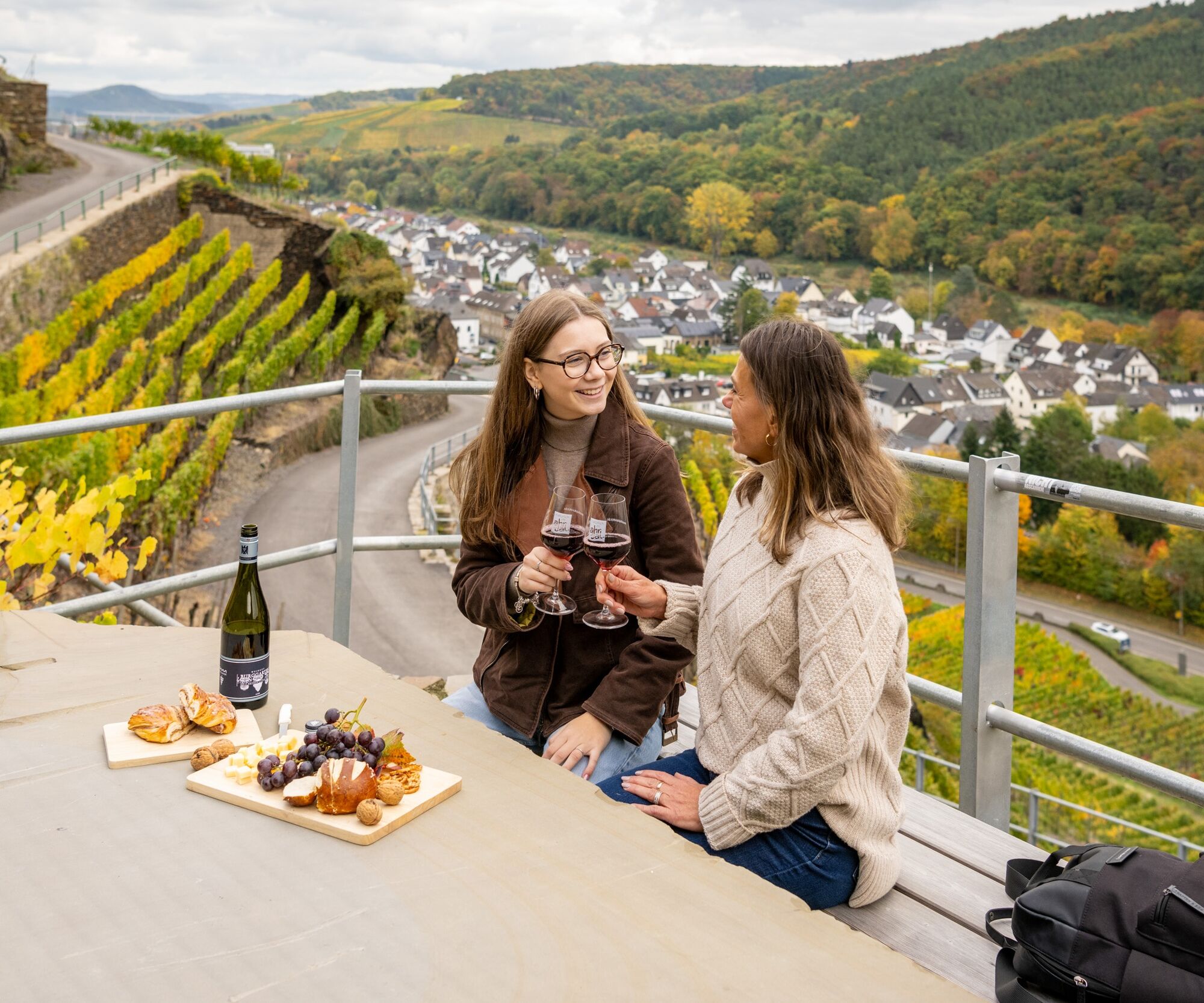
The "Alte Lay" is the perfect place for a cozy picnic with a magnificent view over the vineyards and the valley.



Popularne wycieczki w okolicy
- 4,7
Steinerberg - Altenahr über Teufelsley und Teufelsloch
średniWędrówka 9,30 km - 4,0
Teufelsloch-Höhenwanderung
średniWędrówka 7,44 km - 4,7
Round route Bad Neuenahr No. 5 - Through the Ramersbach Forest
średniWędrówka 9,31 km Weinwanderung Dernau nach Ahrweiler
Wędrówka 23,4 km- 4,7
Rundwanderung Rech / Steinerberg
średniWędrówka 14,2 km Burg Are - Engelsley Nord - Süd und im Tal zurück
ciężkiWycieczki górskie 3,63 km- 5,0
Leichte Rund-Wanderung Dernau / Mayschoß
światłoWędrówka 5,46 km - 5,0
Ahrschleife Weinbergblicke
Wędrówka 15,4 km - 3,5
Rund um die Safenburg
światłoWędrówka 8,10 km Ahrtal alpin: von Altenahr über Mayschoss, Saffenburg Teufelsley, Engelslei, Burg Are
średniWędrówka 18,7 km
Wędrówki i tropienie


Nie przegap ofert i inspiracji na następne wakacje
Twój adres e-mail została dodana do listy mailingowej.


