


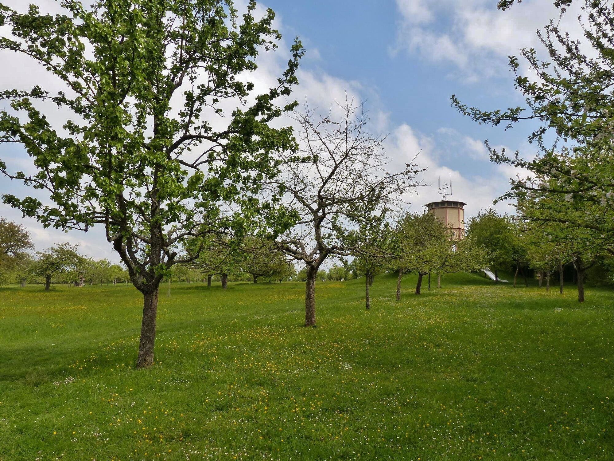
Educational bee trail in Büchelberg
Entlang des Bienen- Entdeckungspfads mit seinen 8 Stationen erfahren Sie viel Wissenswertes und manch Kurioses aus der Welt der Honigbiene. Dieses kleine Tier, das bei der Bestäubung heimischer Blütenpflanzen...
Entlang des Bienen- Entdeckungspfads mit seinen 8 Stationen erfahren Sie viel Wissenswertes und manch Kurioses aus der Welt der Honigbiene. Dieses kleine Tier, das bei der Bestäubung heimischer Blütenpflanzen eine unverzichtbare Rolle spielt, erfreut sich beim Menschen als Lieferant von Honig und Wachs seit tausenden von Jahren großer Wertschätzung. Bienenhonig schmeckt aber auch dem Honigbär, der Sie als Richtungswegweiser auf dem Pfad begleiten wird.
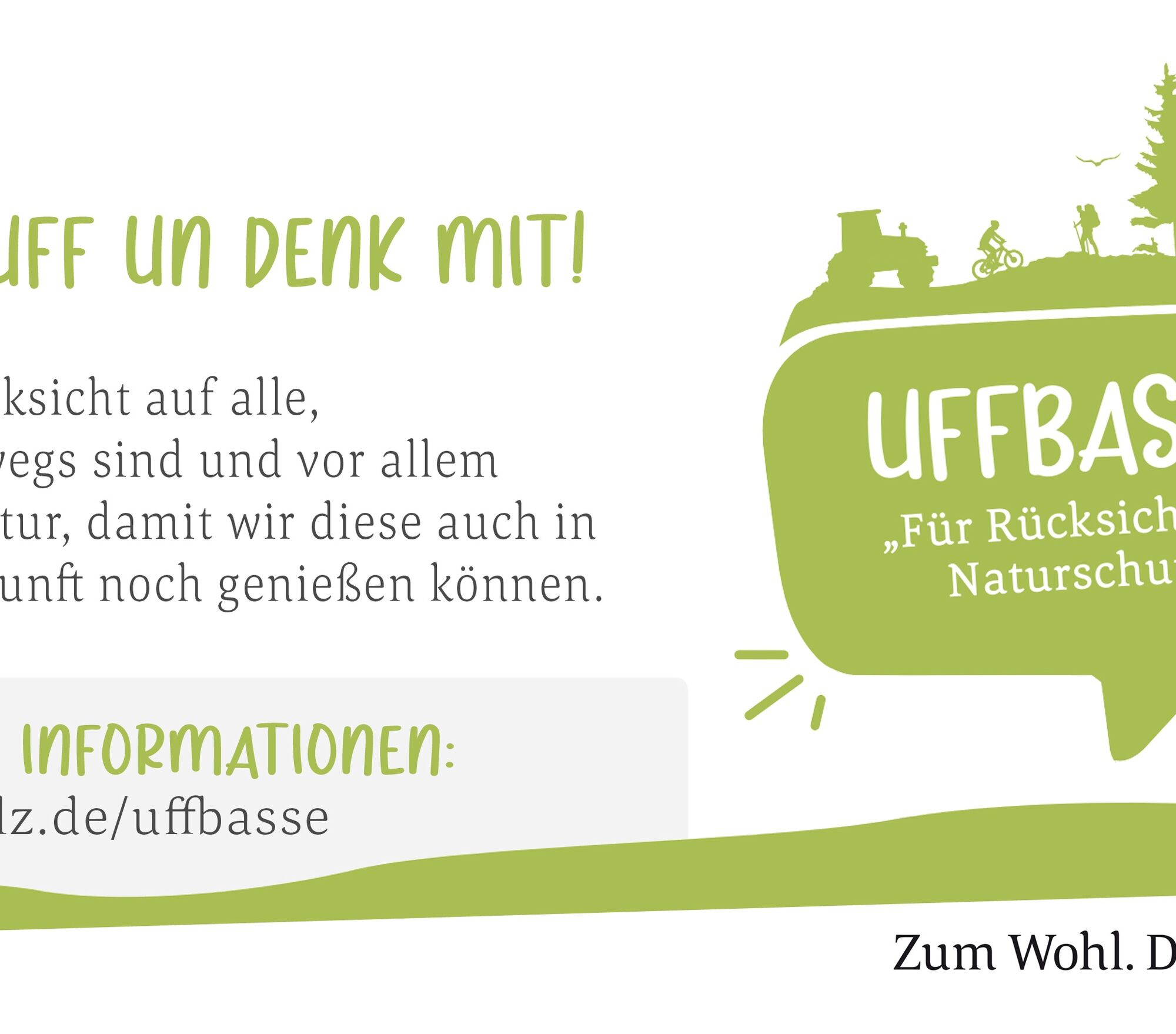
UFFBASSE! - Campaign for being considerate of others in nature
Always act in a proactive, friendly and considerate way towards everyone you encounter along the way. Respect nature, do not destroy plants and always stay on the paths. Try to avoid excessive noise and leave the forest before dusk. Remember to take a rubbish bag with you when you go out and take your rubbish back home. Please keep your dog on a leash at all times. Other visitors and animals thank you. For your own safety, observe all road closures, including at weekends. Park only in designated parking areas. Leave space for emergency vehicles and agricultural machinery. Please give priority to agricultural and forestry traffic.
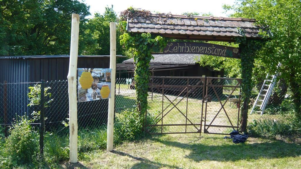
Follow the logo (honey bear with beehive) from the centre of Büchelberg into the neighbouring orchards to the individual information boards.
Content and location of the information boards:
1: Start sign for both trails, honey bear
2: Climbable bee, painting of Pfalzwerke box
3: (junction to Lebensturm) Board 1: Description of the bee (could also be at location 2) Board 2: When bees visit flowers
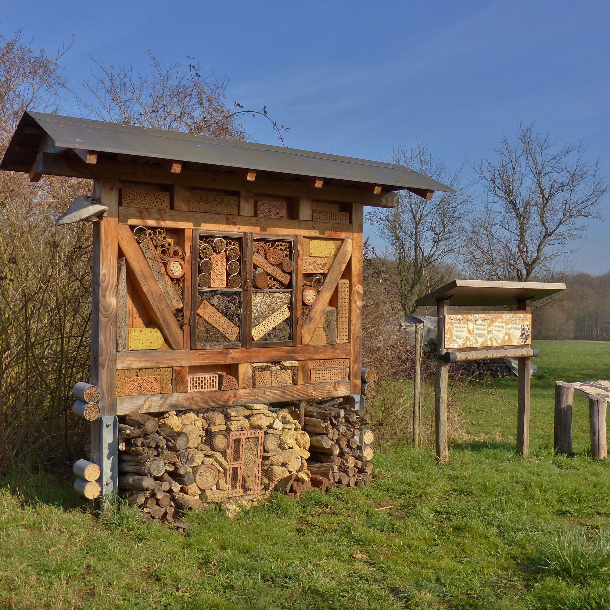
4: (to the left of the path) Panel 3: How thousands live in the dark Panel 4: When bees sting Experience element: Openable display case with a real bee colony or with photos of honeycombs; possibly a rotating wheel with a puzzle 5: (Ratzenbuckelallee junction) Board
5: When bees swarm6: (forest hut) Panel
6: How bees survive the winter Panel7: Not only bees are often endangeredExhibition of various devices, hives on house wall
7: (Lettensträßchen) Panel: BeekeepingBee colony in a cave in an oak tree (approx. 4-6 metres high, accessible via a short plank path) to show how wax was extracted in the past
8: (Bee house) Panel 8: How bees make honey Panel 9: When bees sweat wax Panel 10: What helps bees stay healthy
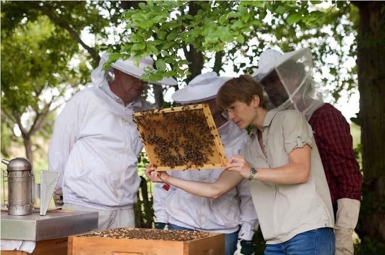
Trunk with living bee colony on the premises of the beekeepers' association
Information board on guided tours by the beekeepers' association
We recommend the following equipment as standard for our hiking tours:
Sturdy shoes Clothing suitable for the weather Sun and rain protection Sufficient quantity of food and drink, as refreshment stops or shopping facilities are not always available or open. Although the paths are very well marked throughout, for safety reasons it is always advisable to carry a suitable hiking map so that you can quickly find your way to a safe area in the event of a thunderstorm or emergency Mosquito repellent is recommended in summer.In autumn in particular, it is important to remember that leaves lying on the ground can hide bumps, roots, stones and holes in the path. Trees can topple and branches can fall down after thunderstorms and rainstorms. Natural paths can become muddy and slippery, especially in poor weather conditions. Not all rocks and precipices are secured with ropes or railings. You need to be sure-footed in certain areas. Damage to paths of this kind is to be expected on hikes. If you feel that certain sections of the path are not passable for you, please avoid them.
NOTE:
We endeavour to announce all closures due to forest work or hunting parties on this platform. Nevertheless, sometimes there are situations where hiking trails are closed and we may not have been informed. If you unexpectedly encounter a road closure or diversion, please follow the instructions for your own safety.
Coming from Kalrsruhe and Landau:
On the A 65 motorway, take the Kandel-Süd exit onto the B9 heading south towards Neulauterburg and Lauterbourg (France). From the B9, turn right towards Büchelberg (Büchelberg is signposted).
Take the train to Kandel and from Kandel take bus route 551 to Büchelberg.
Bus route 551 also runs from Berg to Büchelberg.
Timetable information: via DB Reiseauskunft and in the app DB Navigator.
Existing car park at the Büchelberg multi-purpose hall with parking facilities for cars and buses; from there signpost to info trail in approx. 5 min. walking time.
Please only park in the designated car parks and always keep access routes for emergency vehicles and work routes in the forest and vineyards clear. For overnight stays in camper vans and caravans, there are designated camper van sites.
Südpfalz-Tourismus Landkreis Germersheim e.V.
Luitpoldplatz 1
76726 Germersheim
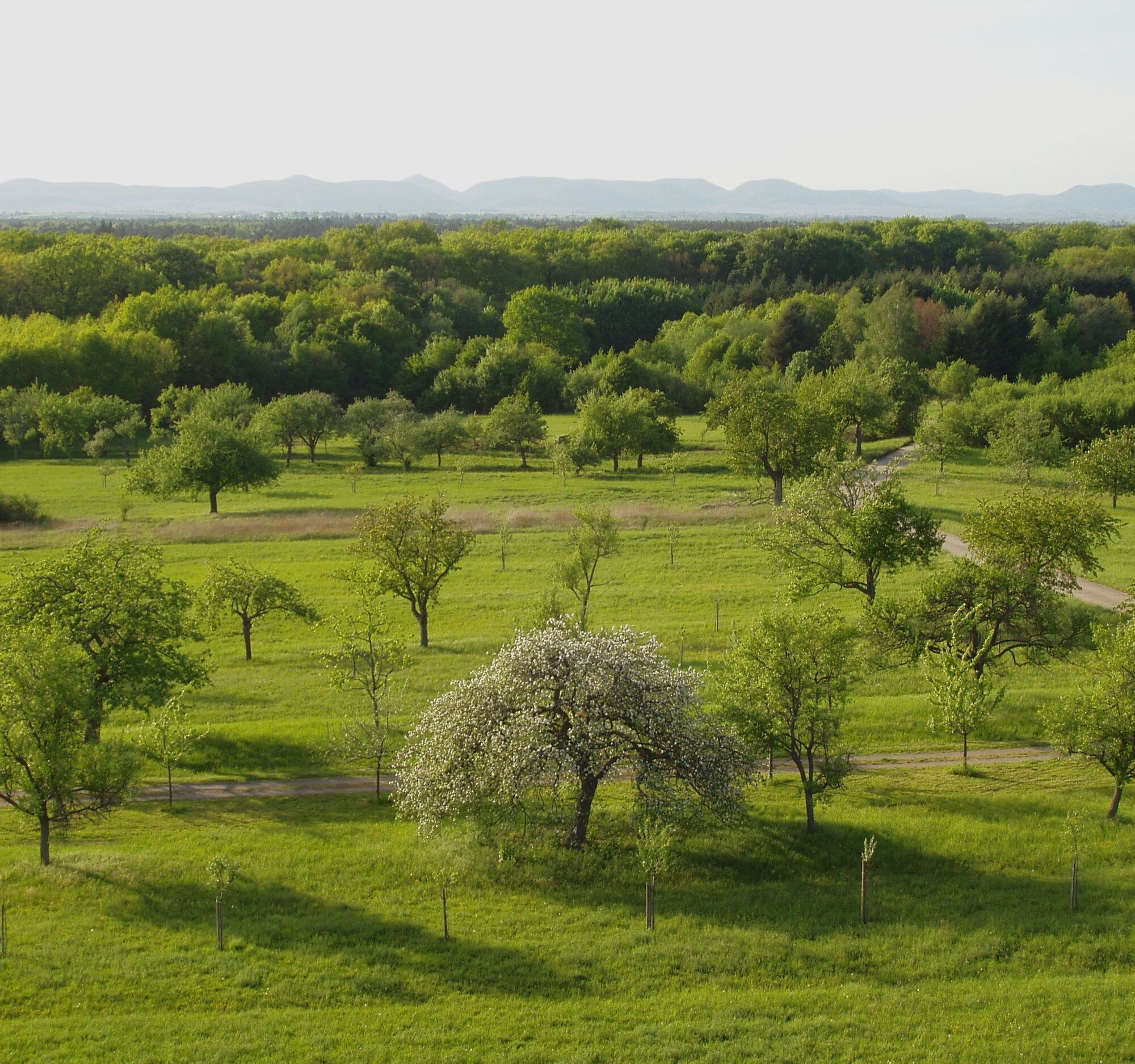
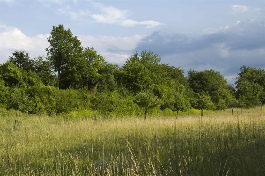
In Büchelberg there is also the orchard meadow nature trail, where you can also learn a lot about the orchards on 9 (interactive) information boards.
Popularne wycieczki w okolicy
-
4,0
Wandern rund um das Schiffer- und Fischerdorf Neuburg
średniWędrówka 11,3 km -
3-Bäche route (formerly Fassbodentour 2)
średniJazda na rowerze 32,4 km -
4,0
Minfeld/Freckenfeld - Wine and Meadow Path
średniWędrówka 15,4 km -
Chocolate Cycling Route / 2nd Stage
średniJazda na rowerze 44,2 km -
Rheinzabern - Otterbachbruchweg: Quality Route Wanderbares Deutschland - Dream Route
średniWędrówka 8,81 km -
Cross-border cycling route "Beer & Brewing Culture" (PAMINA area)
ciężkiKolarstwo długodystansowe 399,0 km -
Cross-border cycling route "Orchards" (PAMINA Area)
ciężkiKolarstwo długodystansowe 398,5 km -
Cross-border cycling circuit "Vineyard & Terroir" (PAMINA area)
średniKolarstwo długodystansowe 323,0 km -
Viehstrich route (formerly Fassbodentour 1)
średniJazda na rowerze 35,8 km -
Palatinate Almond Path Stage 07 Bad Bergzabern to Schweigen-Rechtenbach (including detour due to tunnel construction Bad Bergzabern)
ciężkiTrasa tematyczna 10,6 km
Wędrówki i tropienie


Nie przegap ofert i inspiracji na następne wakacje
Twój adres e-mail została dodana do listy mailingowej.