


Otterberg - circular hiking trail 1 - Kneipp circular hiking trail
A gentle circular hike with beautiful forest sections that invite you to dream.
Parking lot at the Otterberg town hall (opposite the Barbarossa bakery, turn into the parking lot at the traffic light) -...
A gentle circular hike with beautiful forest sections that invite you to dream.
Parking lot at the Otterberg town hall (opposite the Barbarossa bakery, turn into the parking lot at the traffic light) - Lauterer Straße - Baumstraße - Appental - Pfifferlingsberg - Götzenwooger Hang - Streifelsberg - Ultes Rast - Weinbrunnerhof - K 37 - Althütterhof - Tennis facility - Kneipp facility - Lauterer Straße - Parking lot at the Otterberg town hall (opposite the Barbarossa bakery, turn into the parking lot at the traffic light)
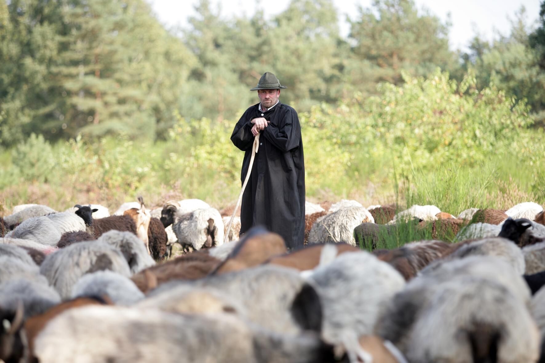
UFFBASSE! - Campaign for respectful coexistence in nature
- Always behave considerately, kindly, and thoughtfully towards all people you meet on the way.
- Take care of nature, do not destroy plants, and always stay on the paths.
- Remember a trash bag for the way and take your trash back home.
- Always keep your dog on a leash. Other visitors and animals will thank you.
- For your own safety, always observe all path closures, even on weekends.
- Park only in designated parking lots. Leave room for emergency routes and agricultural machinery.
- Give priority to agricultural and forestry traffic.


Parking lot at the Otterberg town hall (opposite the Barbarossa bakery, turn into the parking lot at the traffic light) - Lauterer Straße - Baumstraße - Appental - Pfifferlingsberg - Götzenwooger Hang - Streifelsberg - Ultes Rast - Weinbrunnerhof - K 37 - Althütterhof - Tennis facility - Kneipp facility - Lauterer Straße - Parking lot at the Otterberg town hall (opposite the Barbarossa bakery, turn into the parking lot at the traffic light)
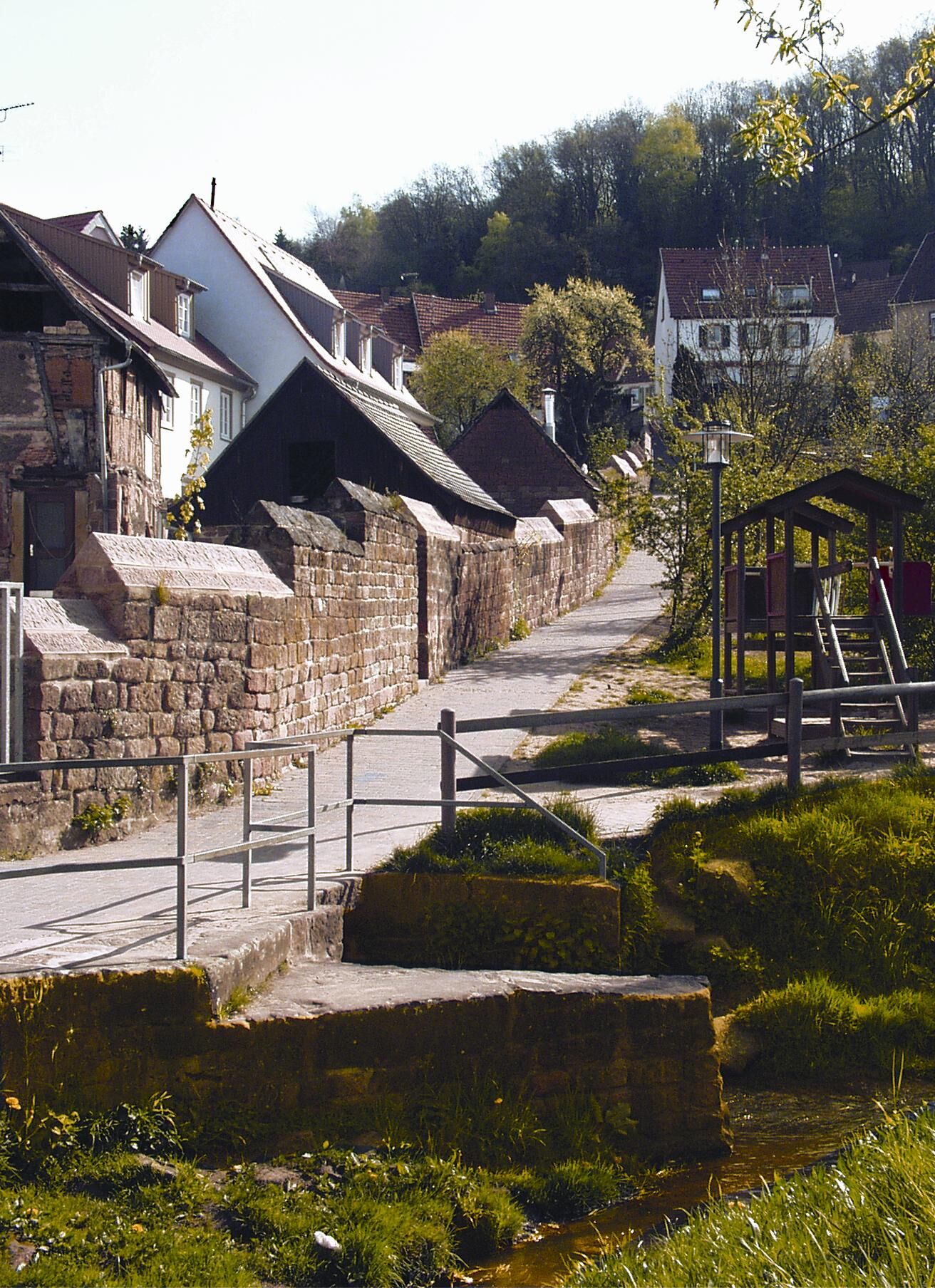
From the parking lot, go left past the town hall along the city wall, then right over the footpath onto Lauterer Straße. The path leads along Lauterer Straße (1 km) to Baumstraße, which turns left, where after the curve we turn right onto the hiking trail.
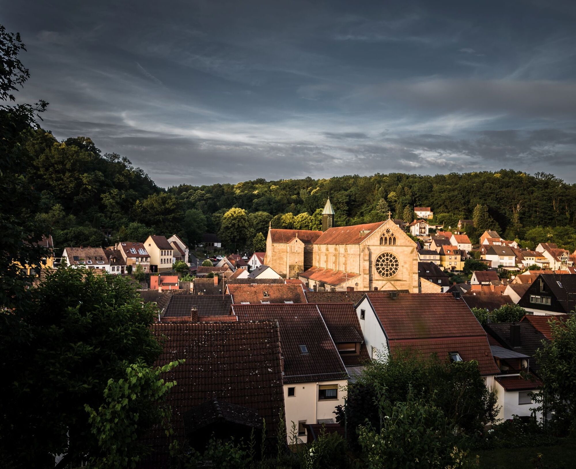
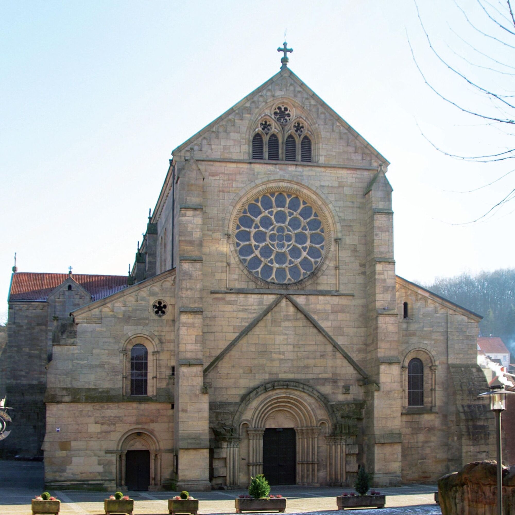
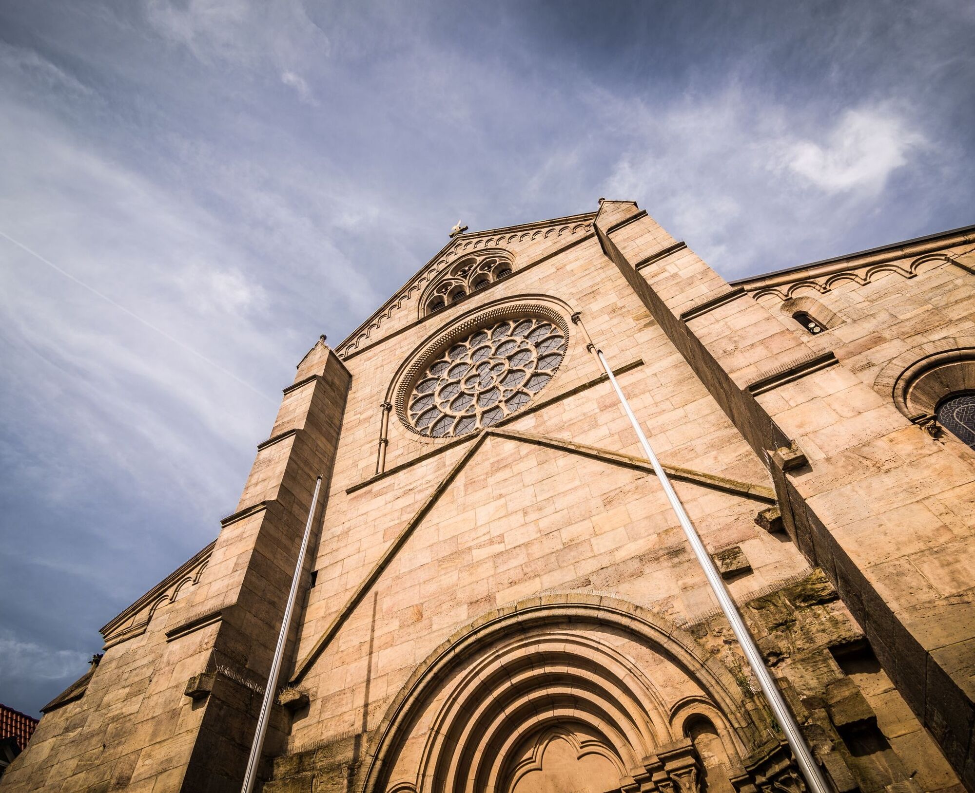
The path now leads over the Rotenberg (305 m) down into the Götzenwooger Hang into the valley floor of the Raupenthal. On a long, flat stretch through the valley, which is colloquially referred to as the "Black Forest", we reach Ultes-Rast. The path then leads left over a gentle ascent to the Weinbrunnerhof with its Shaolin monastery, approximately 800 m away.
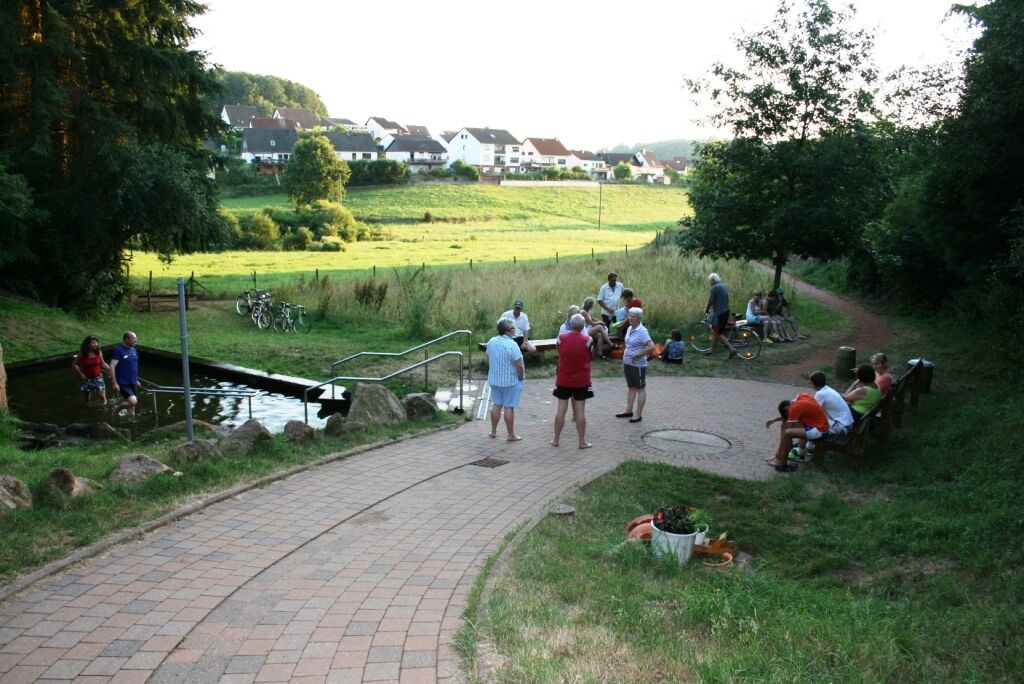
In the direction of Althütterhof, the marking runs with the road, while parallel to it a beautiful hiking trail leads along the opposite forest edge. We now follow the Weinbrunner valley to Althütterhof and continue along the road there. 150 m after Althütterhof we turn left onto the downhill road towards the tennis courts. Before the tennis courts we turn right onto a narrow path, the Bachstade, and follow the path to the Kneipp facility. At the end of the Bachstade we turn right and then follow the same path back to the city wall and the parking lot.
Tak
For our hikes we recommend the following equipment as standard:
- Sturdy footwear
- Weather-appropriate clothing
- Sun and rain protection
- Sufficient supply of food and drinks, as there are not always dining or shopping opportunities available or open.
- Although the paths are very well marked throughout, it is advisable for safety reasons to always carry a suitable
hiking map, so that you can quickly find a safe area in case of a thunderstorm or emergency.
- Hiking poles recommended.
General information:
Especially in autumn, note that fallen leaves on the ground can hide unevenness, roots, stones, or holes in the path. After thunderstorms or heavy rain, trees may fall or branches may break off even afterward. Particularly under adverse weather conditions, natural paths can have muddy and slippery sections. Not all rocks or cliffs are secured with ropes or railings. Sure-footedness is required in some places. You must expect such path impairments when hiking. If you find certain path sections impassable, you should bypass them.
NOTE:
We strive to announce all closures caused by forestry work or hunting societies on this platform. However, there are situations where hiking trails are closed, and we may not have been informed. Should you unexpectedly encounter a trail closure or detour, please follow the instructions for your own safety.
Transport connections:
The distance to the larger cities is:
- Kaiserslautern 8 kilometers
- Saarbrücken (Airport) 70 kilometers
- Frankfurt (Airport) 140 kilometers
- Cologne - Bonn (Airport) 240 kilometers
From Saarbrücken:
The route is via the A6 exit Kaiserslautern-West (exit no. 15), towards Lauterecken/Weilerbach. On L367 take the 2nd exit towards Otterbach. In Otterbach at the 2nd roundabout turn off; about 3 kilometers to Otterberg remain.
From Mannheim:
The route is via the A6 exit Enkenbach-Alsenborn (exit no. 17). Follow signs in Enkenbach-Alsenborn.
From Frankfurt / Mainz:
Route via the A63 exit Sembach (exit no. 14). Via Baalborn to Otterberg. About 8 kilometers from the motorway.
By train to Kaiserslautern main station. From there by bus line 130 to Otterberg.
More information can be found at www.vrn.de
Parking lot at the Otterberg town hall (opposite the Barbarossa bakery, turn into the parking lot at the traffic light)
Coordinates: 49° 30´ 4´´ N / 7° 46´ 23´´ E
In the direction of Althütterhof, at the fork opposite the house of the Stark family, an old fruit press can be viewed.
Tourist Information Otterbach-Otterberg
Hauptstraße 54, 67697 Otterberg
Tel.: 06301 / 607800
Internet:
E-mail: tourist-info@otterbach-otterberg.de
You can request the host directory as a *.pdf file via one of the following addresses:
tourist-info@otterbach-otterberg.de
The paths were created by www.pwv-otterberg.de.
Nice rest at the Kneipp facility in the Bachstade.
Popularne wycieczki w okolicy
-
Hinkelsteinweg - complete route
średniWędrówka 41,7 km -
Teufelstour - Olsbrücken
ciężkiWędrówka 15,1 km -
4,0
Otterberg - Circular Hiking Route 5 - Springs Circular Hiking Route
światłoWędrówka 6,91 km -
Otterberg - Hinkelsteinweg (Southern Route)
średniWędrówka 21,8 km -
Katzweiler - mill circular hiking trail
światłoWędrówka 13,1 km -
Pfälzer Höhenweg Stage 01 Winnweiler-Dannenfels
średnidługodystansowy szlak pieszy 16,6 km -
Otterberg - circular hiking trail 3 - Wallonen circular hiking trail
światłoWędrówka 10,7 km -
Katzweiler - Humberg route (circular)
ciężkiWędrówka 13,0 km -
Otterbach - Waldforscher path in Himmelreich
światłoTrasa tematyczna 2,59 km -
Lauter Valley cycle path
światłoJazda na rowerze 36,1 km
Wędrówki i tropienie


Nie przegap ofert i inspiracji na następne wakacje
Twój adres e-mail została dodana do listy mailingowej.