


Otterberg - Hinkelsteinweg (Southern Route)
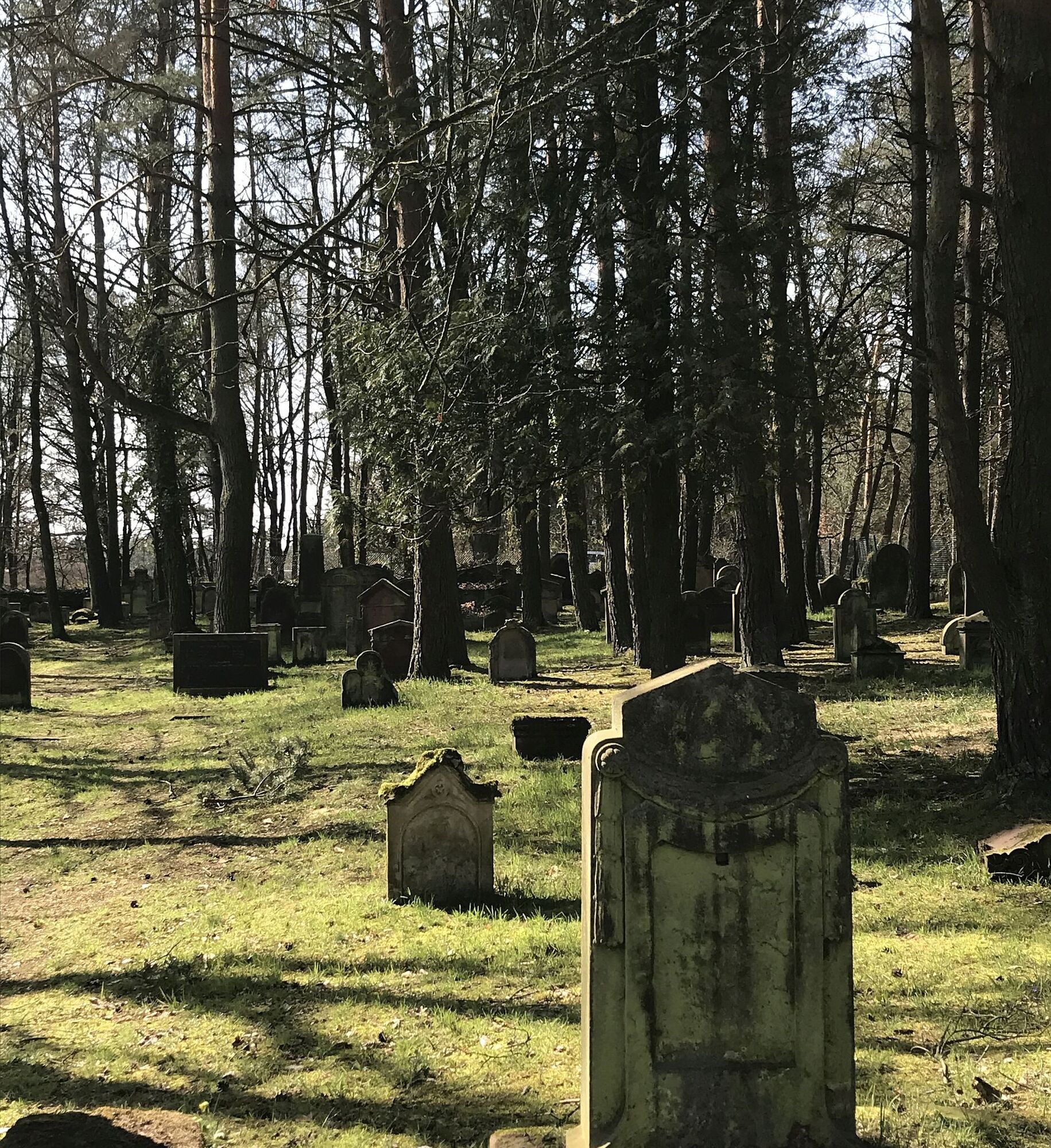
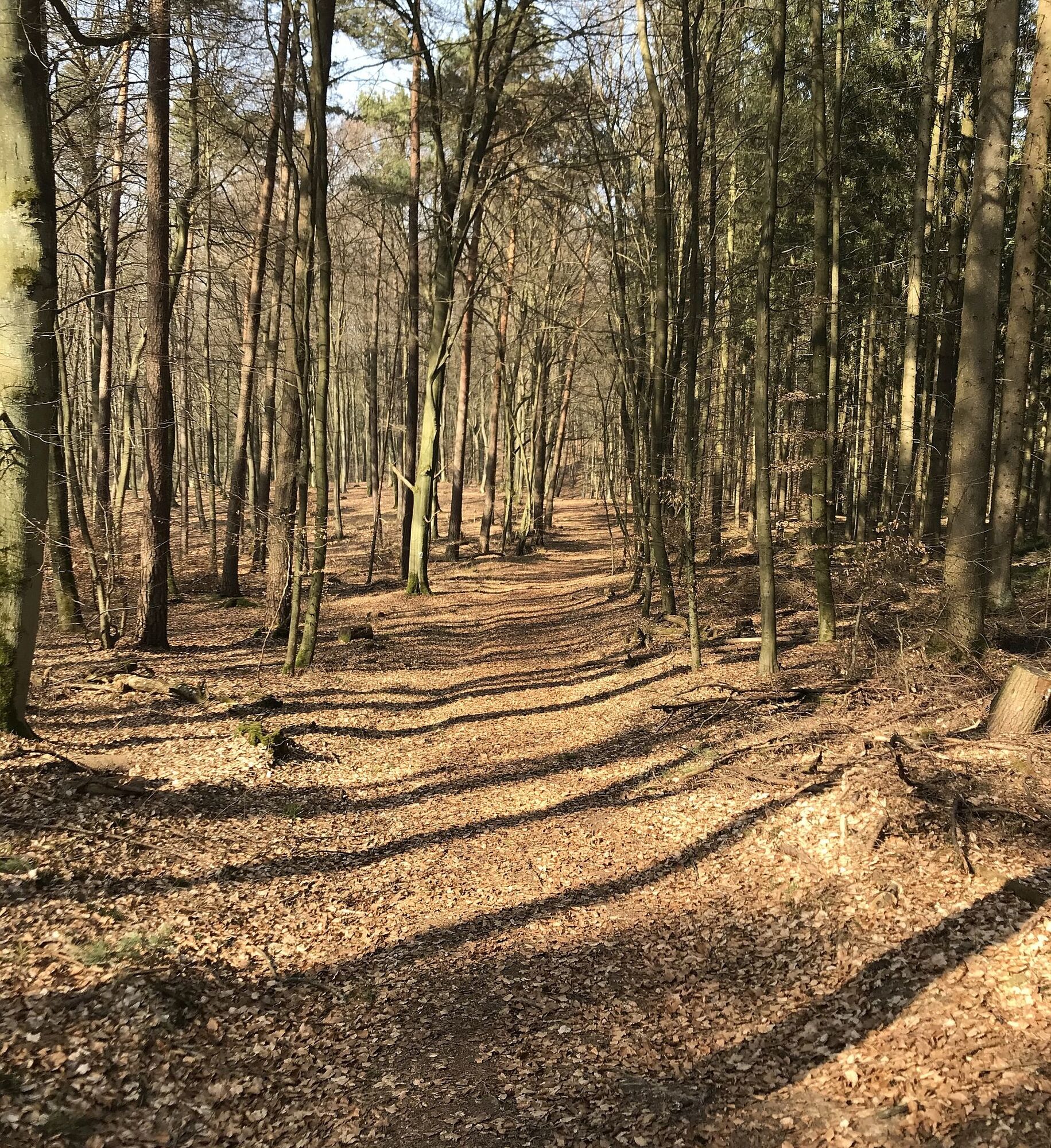
Through the Mehlinger Heide (one of the largest heath landscapes in southern Germany), you hike on the Hinkelsteinweg past the Perfume Museum in Baalborn and further past the Drehenthalerhof, the Scheidwald...
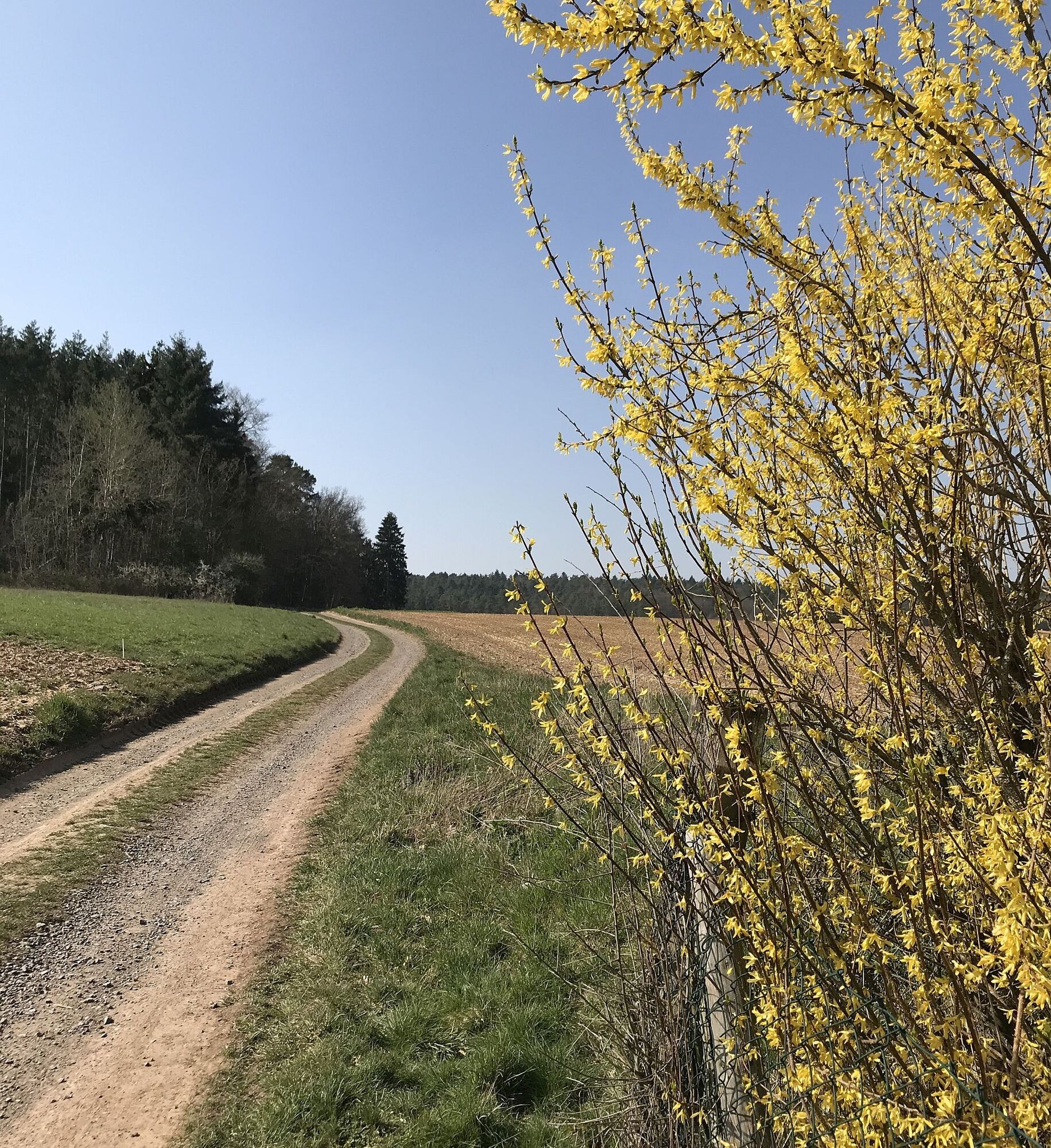
Through the Mehlinger Heide (one of the largest heath landscapes in southern Germany), you hike on the Hinkelsteinweg past the Perfume Museum in Baalborn and further past the Drehenthalerhof, the Scheidwald quarry, through the Otterbach valley back to Otterberg.
It leads through untouched nature where you can enjoy the silence and relax your soul.
Excellent views crown the route.
UFFBASSE! - Campaign for considerate coexistence in nature
- Always behave predictively, friendly, and considerately towards everyone you meet on the way.
- Pay attention to nature, do not destroy plants, and always stay on the paths.
- Remember a trash bag for the way and take your waste back home.
- Please always keep your dog on a leash. Other visitors and animals will thank you.
- For your own safety, observe all path closures, even on weekends.
- Park only in designated parking lots. Leave space for emergency and agricultural vehicles.
- Give priority to agricultural and forestry traffic.

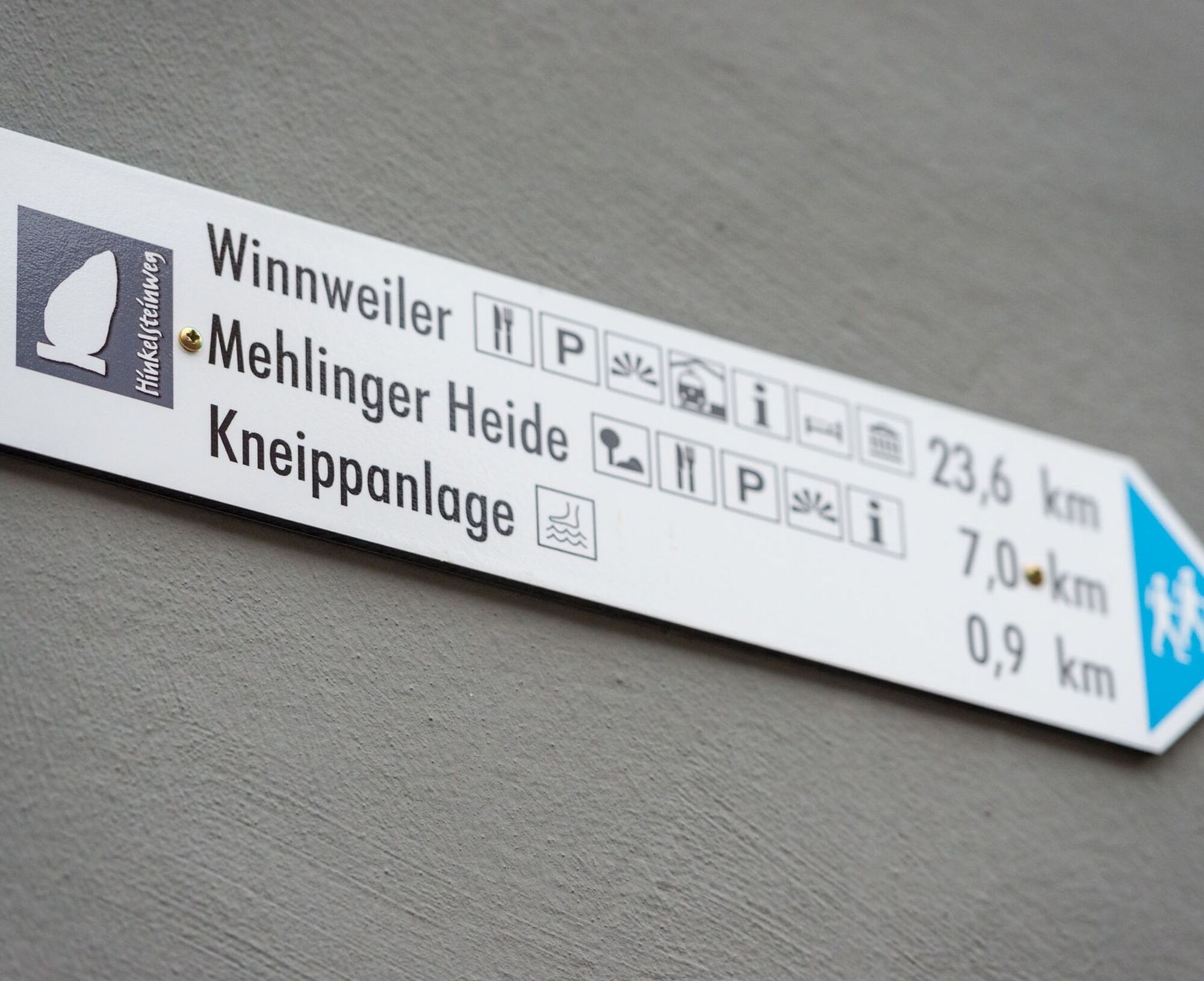
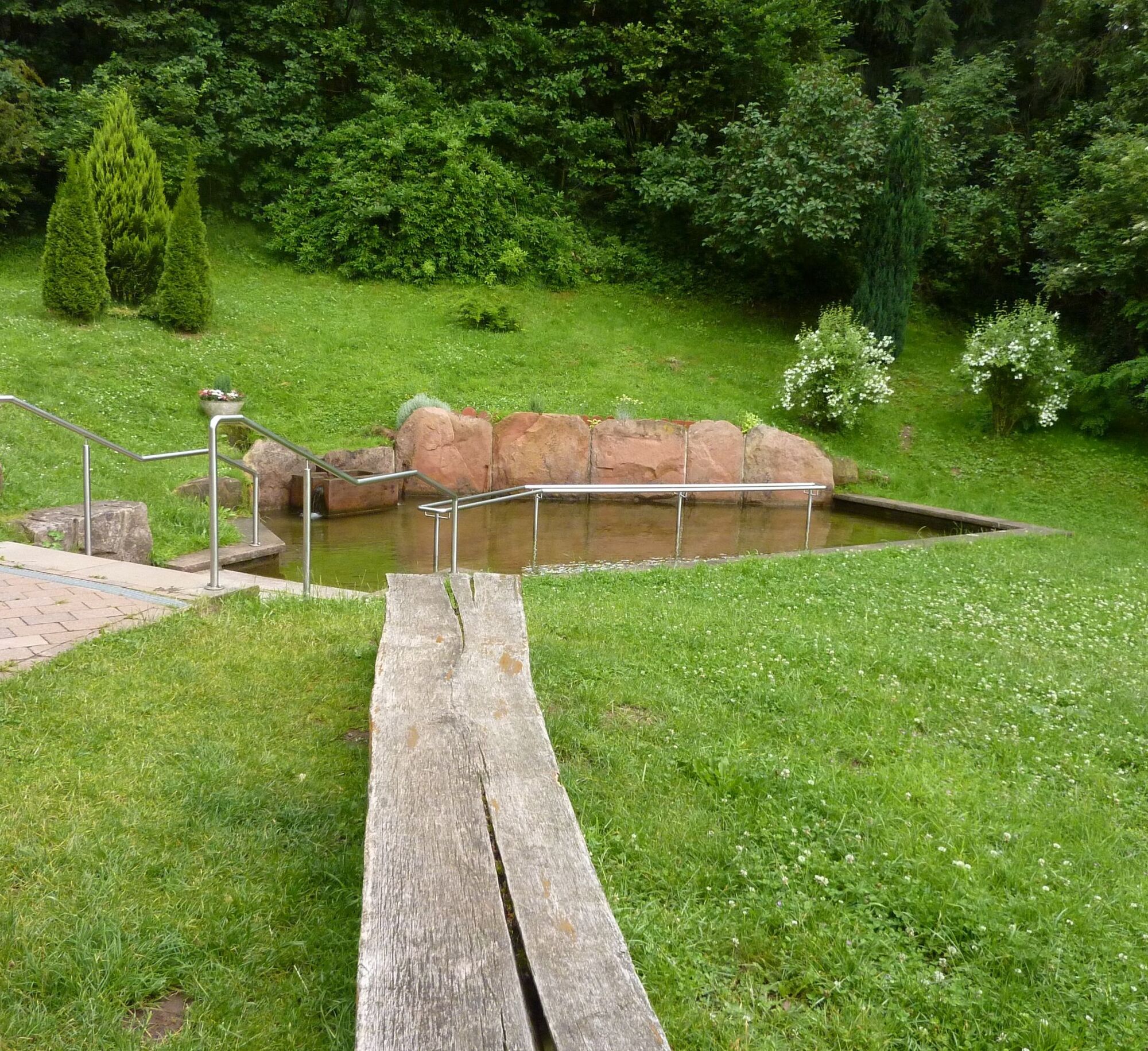
Otterberg (Kirchplatz) - Kirchstraße - Lauterstraße - Bachstade - Kneipp facility - Am Sixmeisterwoog - Johann-Roos-Straße - Am Rotenberg - Pfifferlingsberg - Streifelsberg - Mehlinger Heide (Entrance) - Edge A63 - Hohe Rech - Baalborn - Water educational trail - Perfume Museum - Monument - Mönchkopf - Sonnenkopf - Lanzenbrunner Weiher - Northern Sonnenkopf - Husarenbrunnen - Drehenthalerhof - Schweissberg - Quarry in Scheidwald - Otterbach valley - Neumühle - Natural swimming pool Otterberg - Oil mill - Kirchstraße - Otterberg (Kirchplatz)
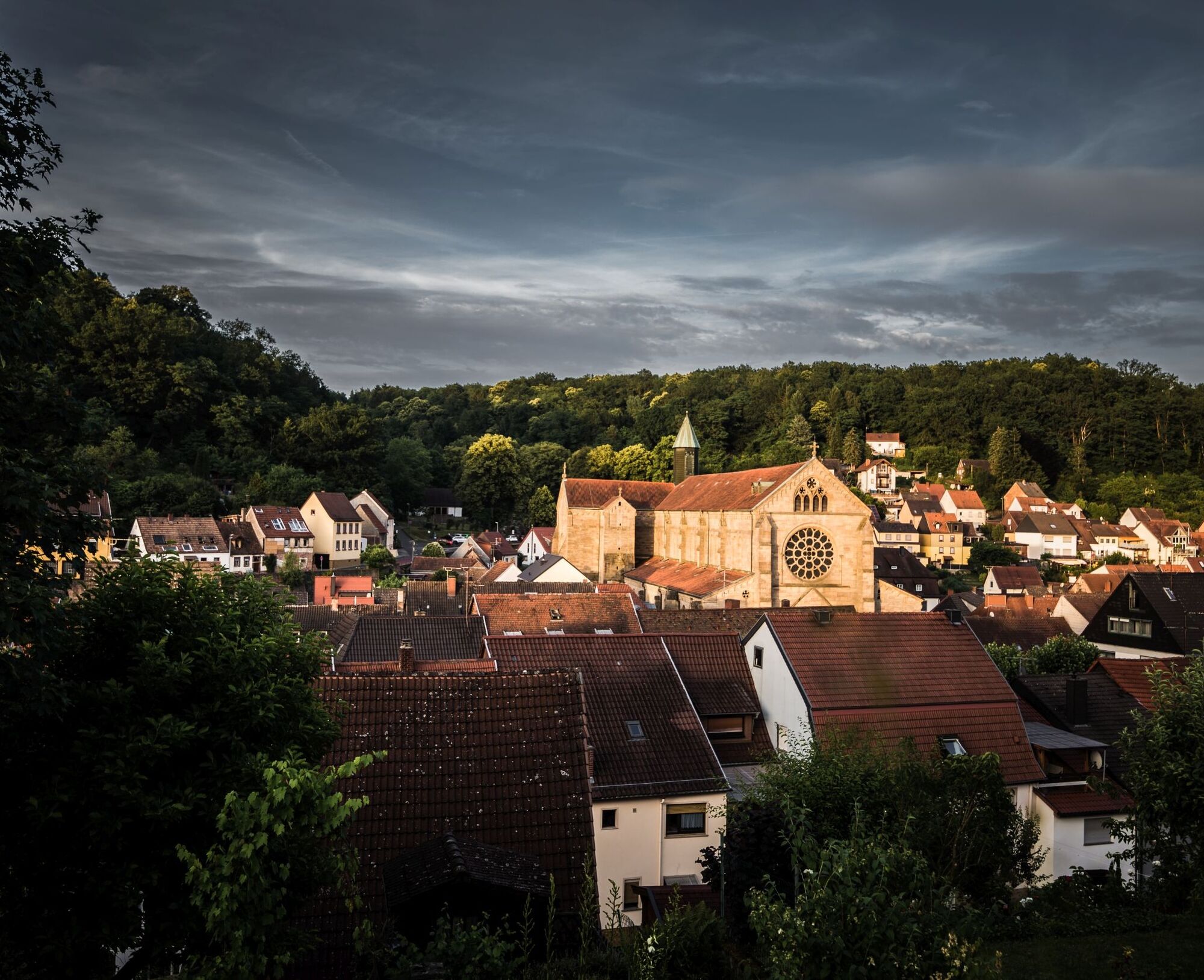
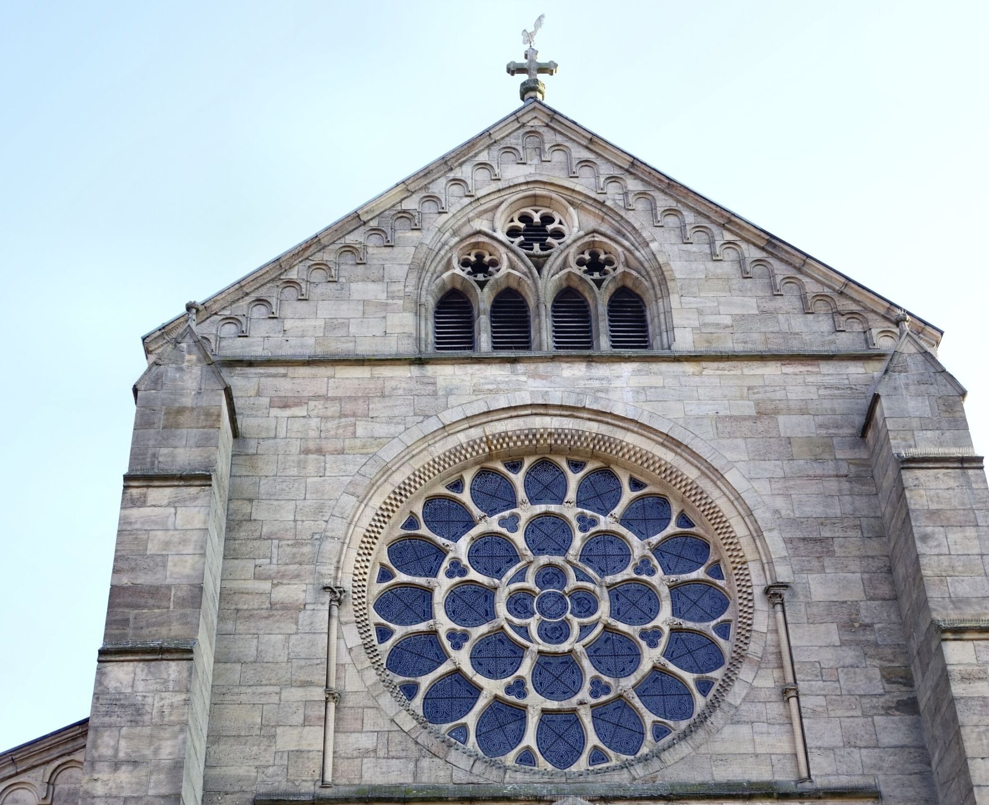
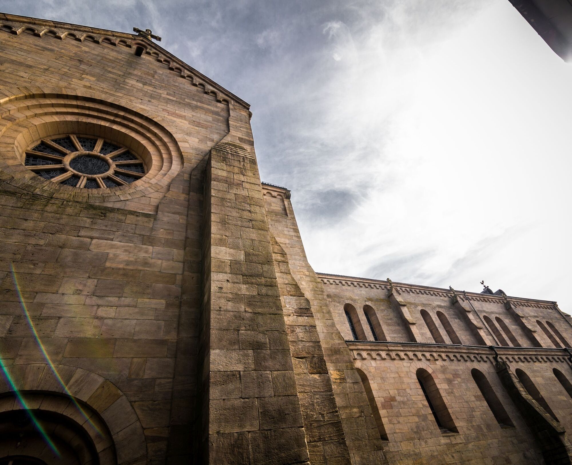
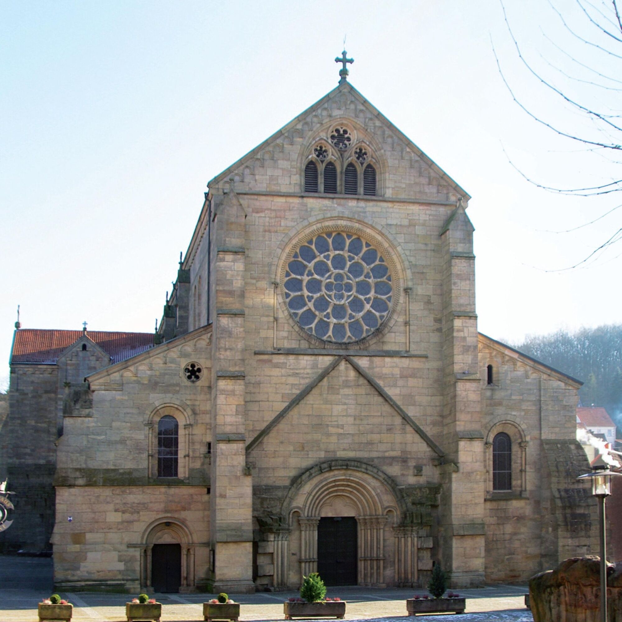
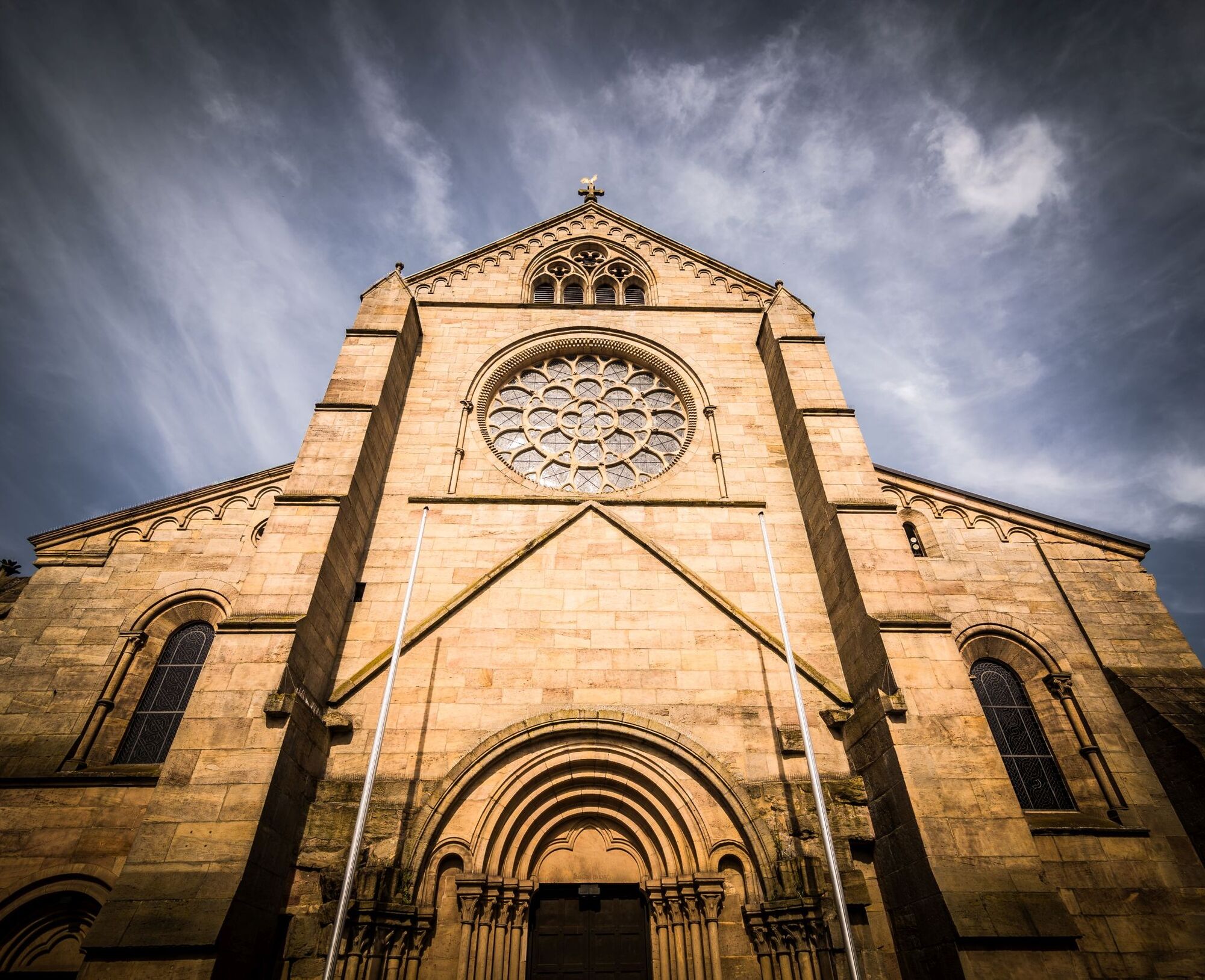
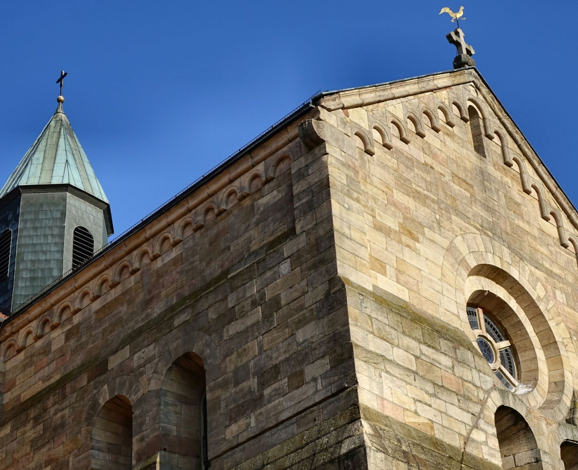
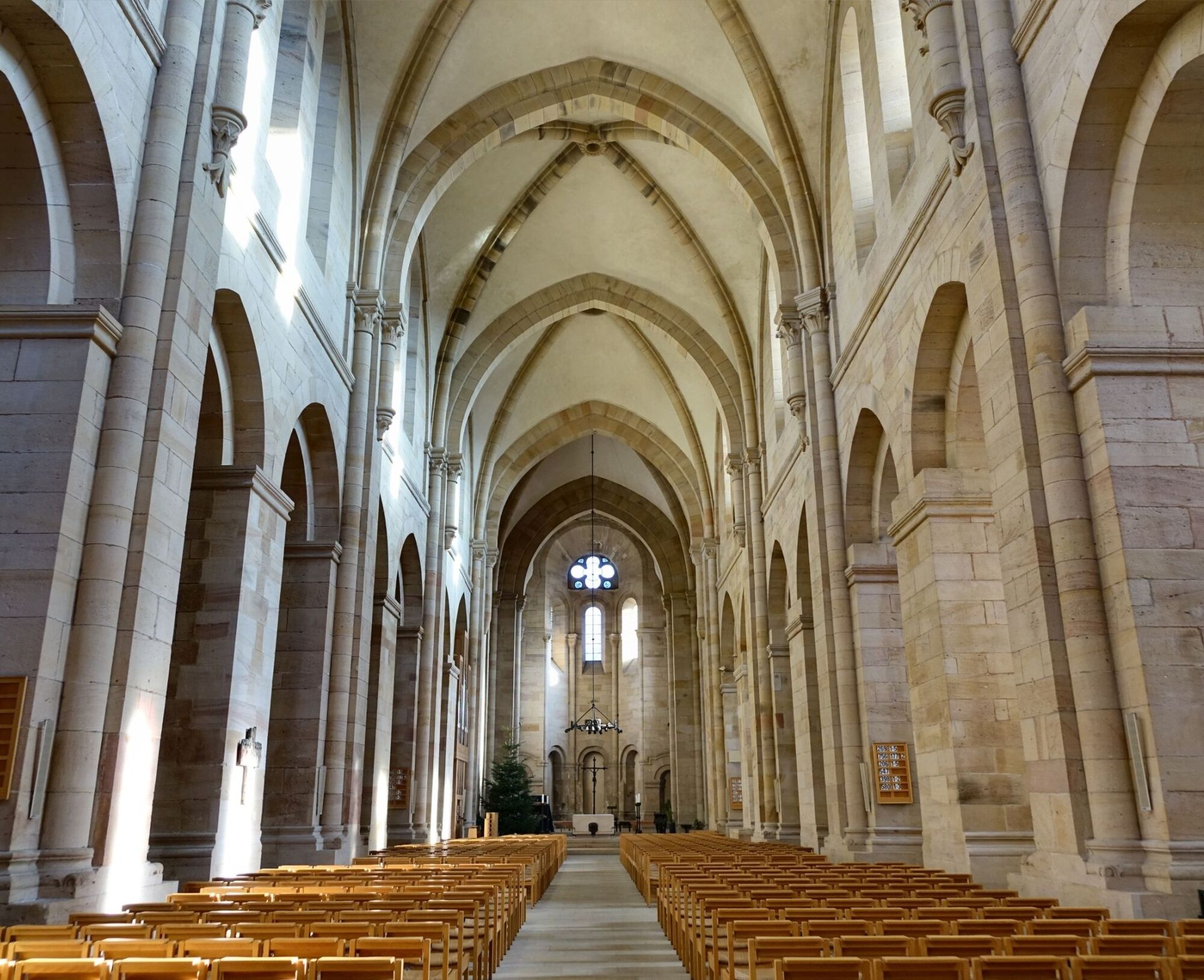
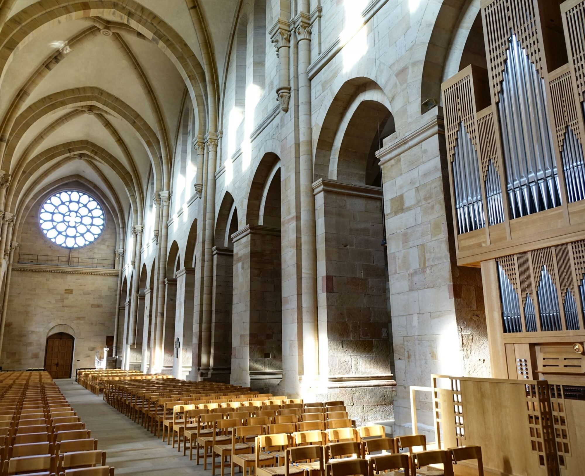
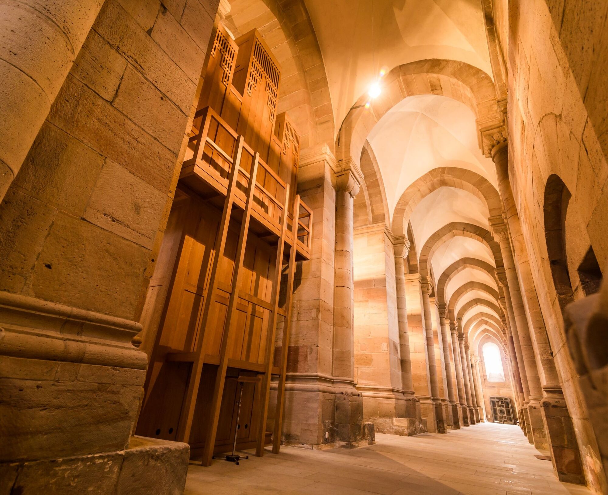
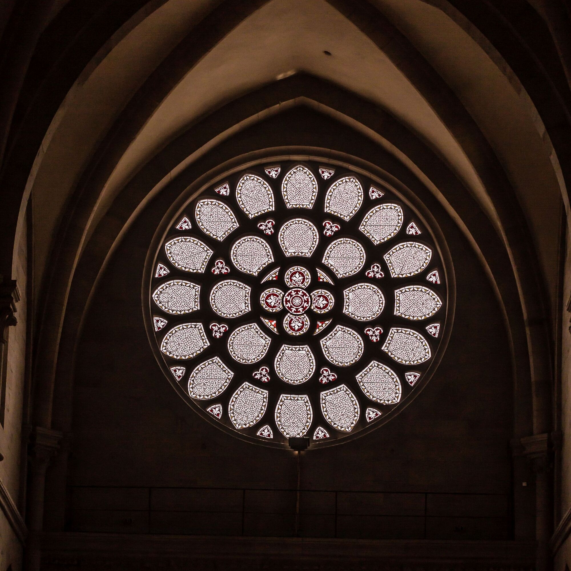
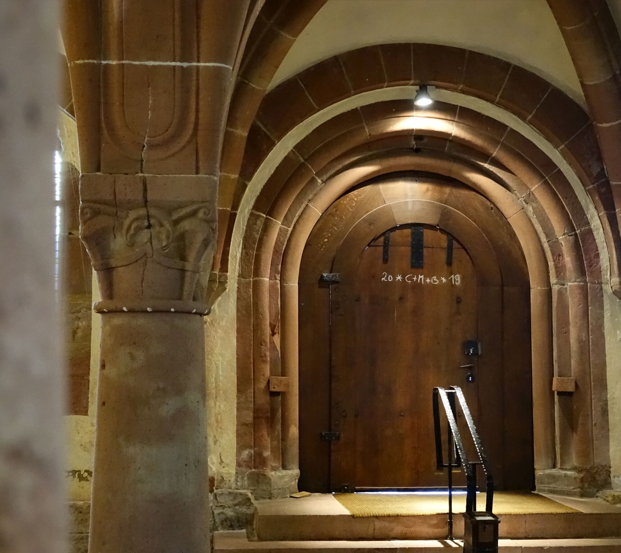
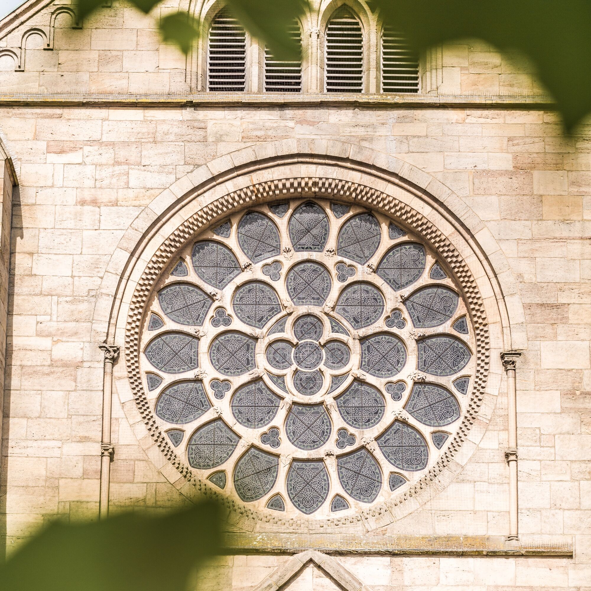
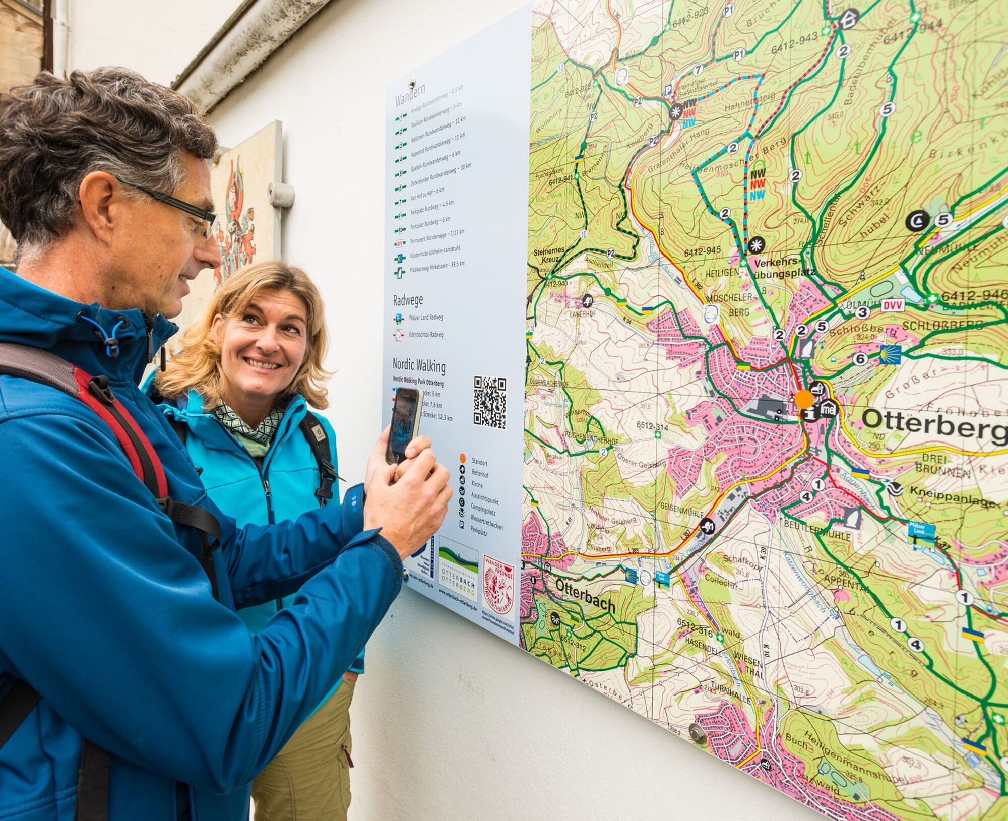
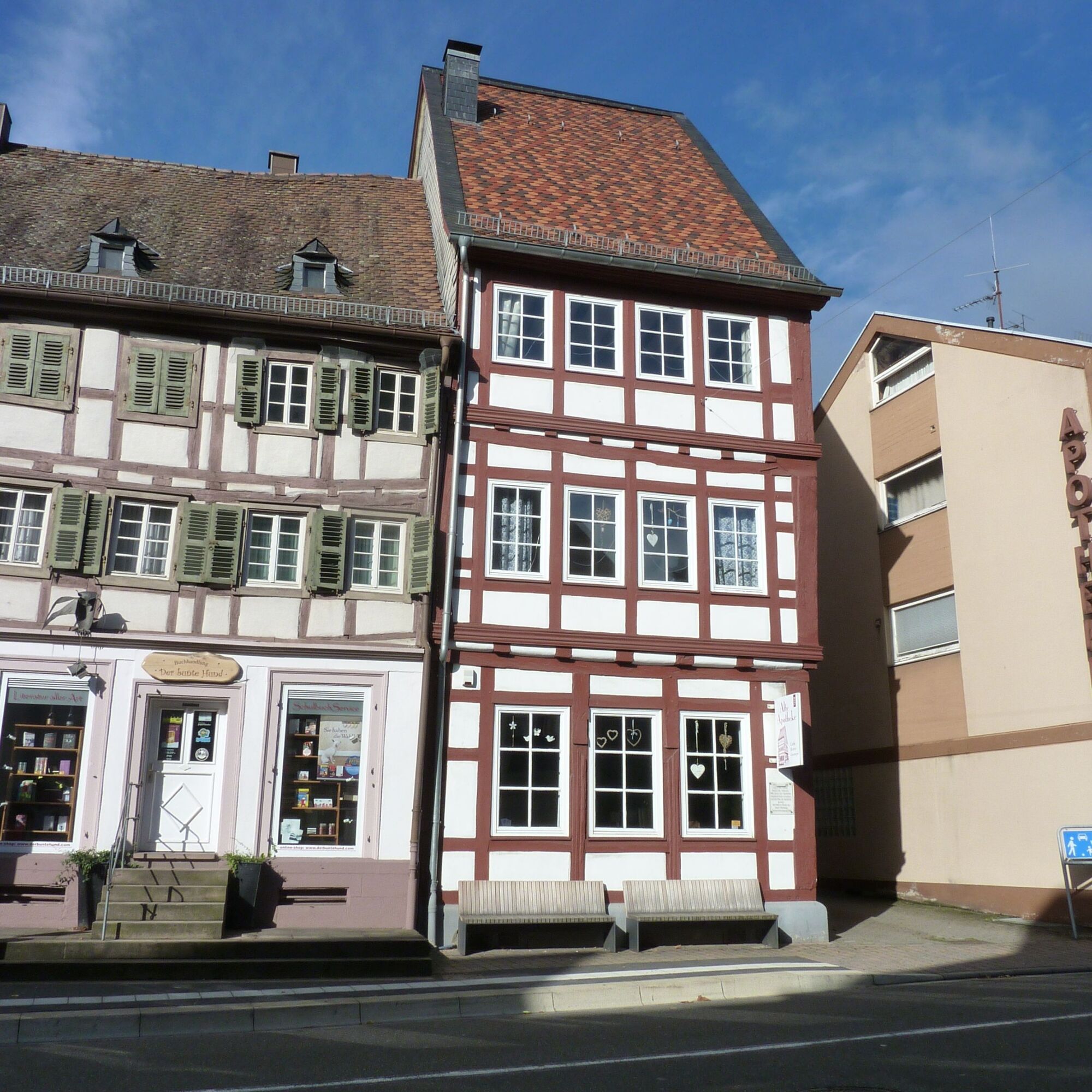
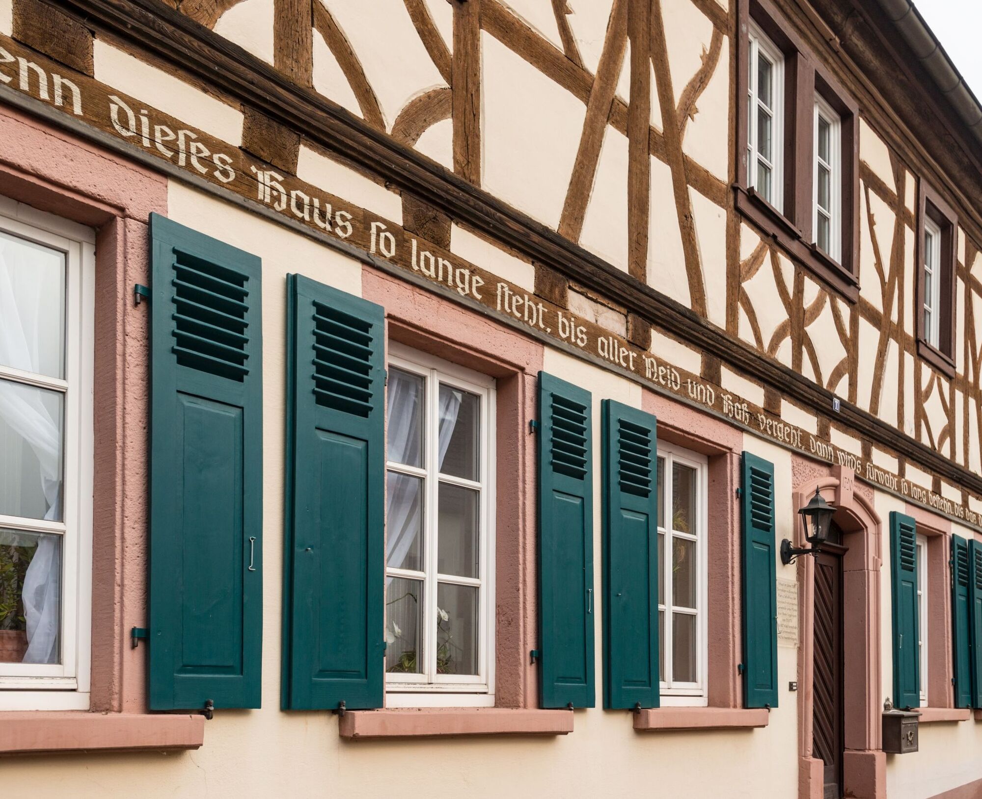
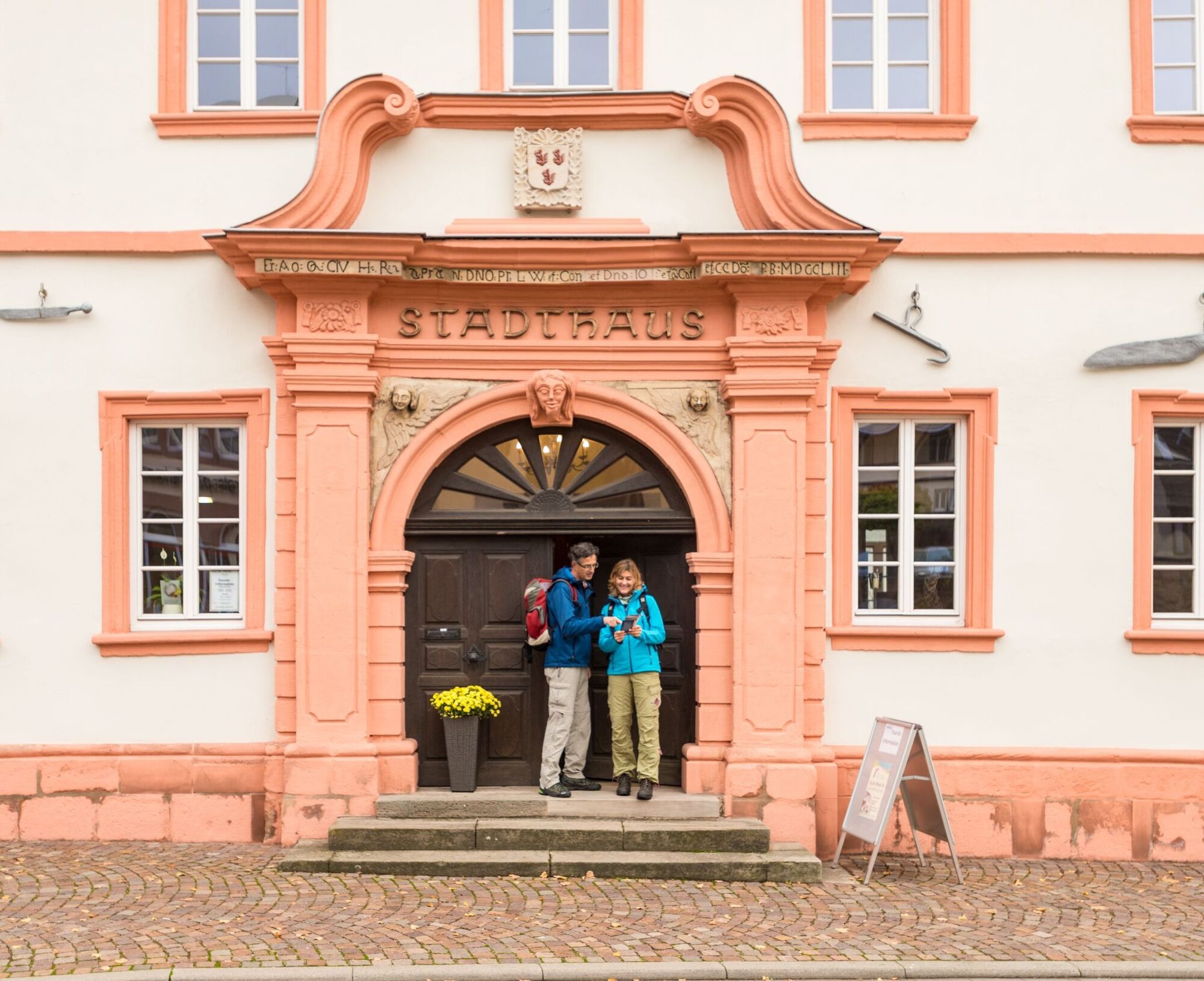
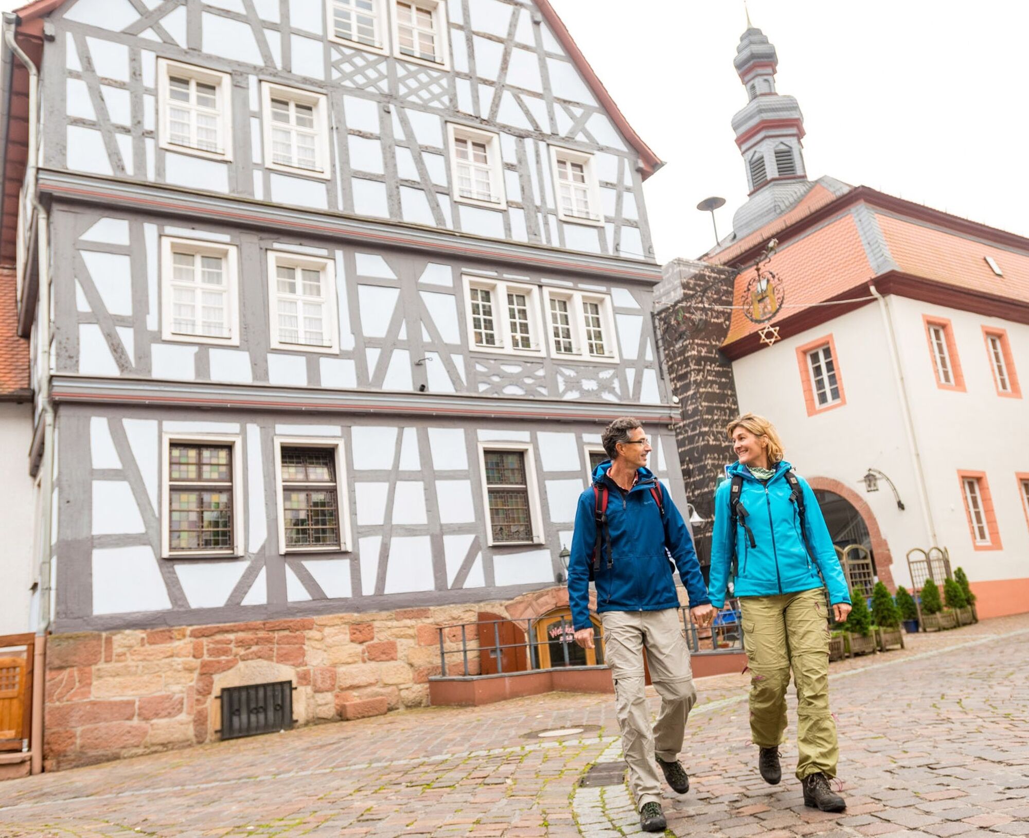
The Hinkelsteinweg starts at the Abbey Church in Otterberg, the largest sacred building in the Palatinate after the Speyer Cathedral.
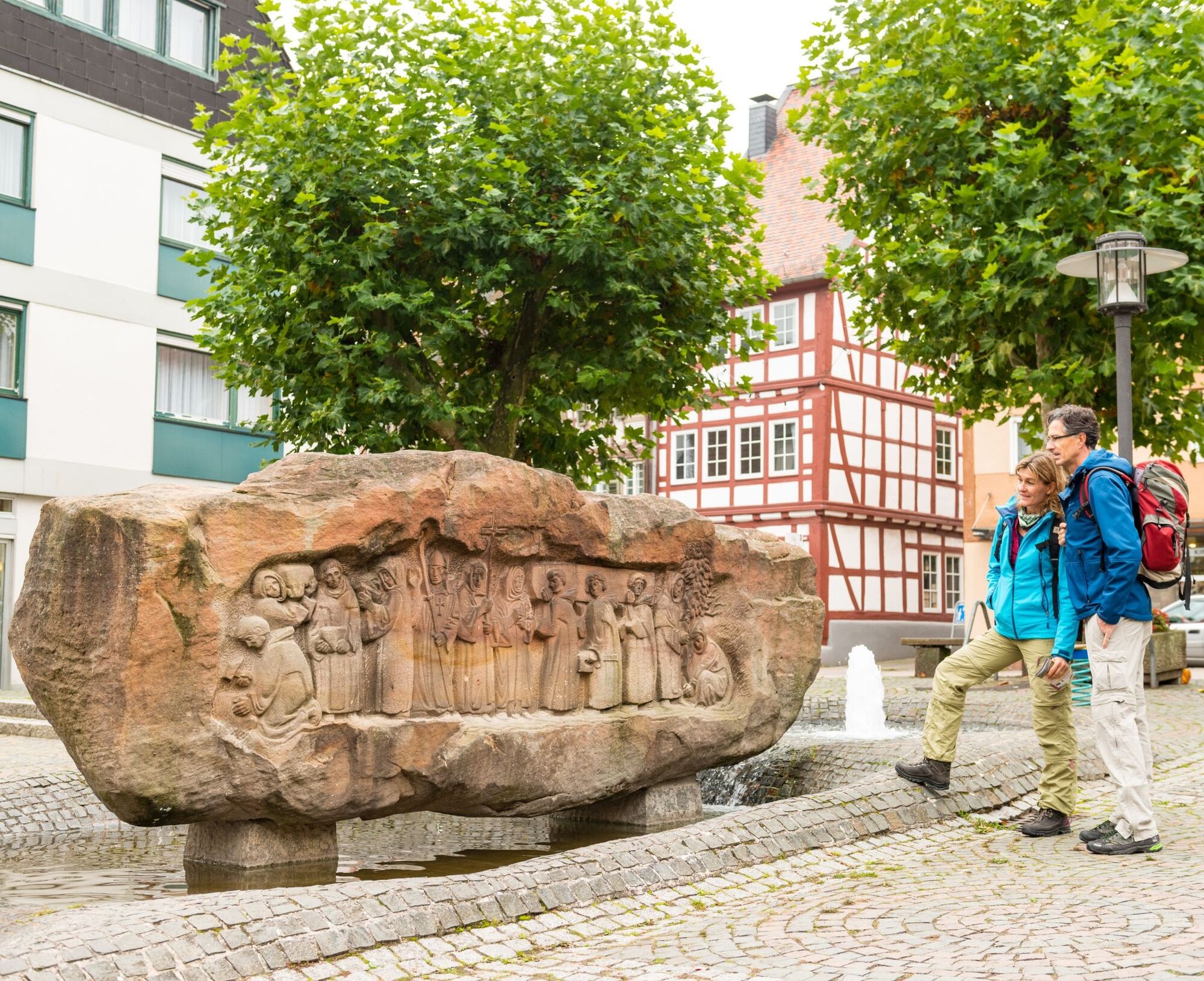
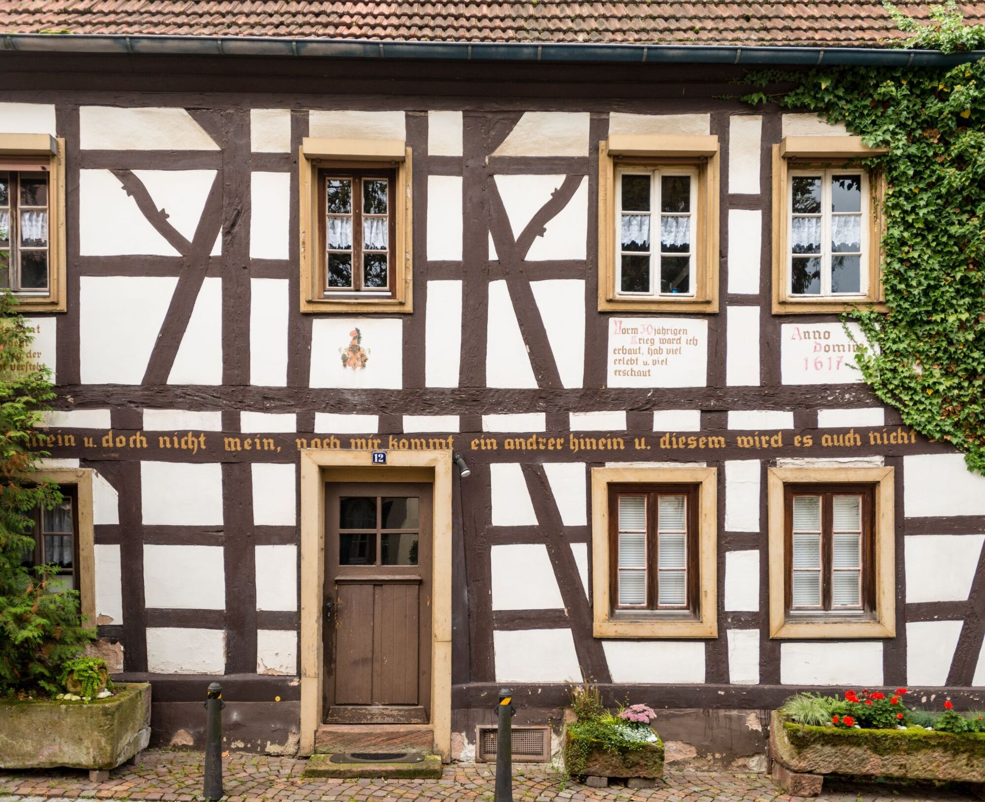
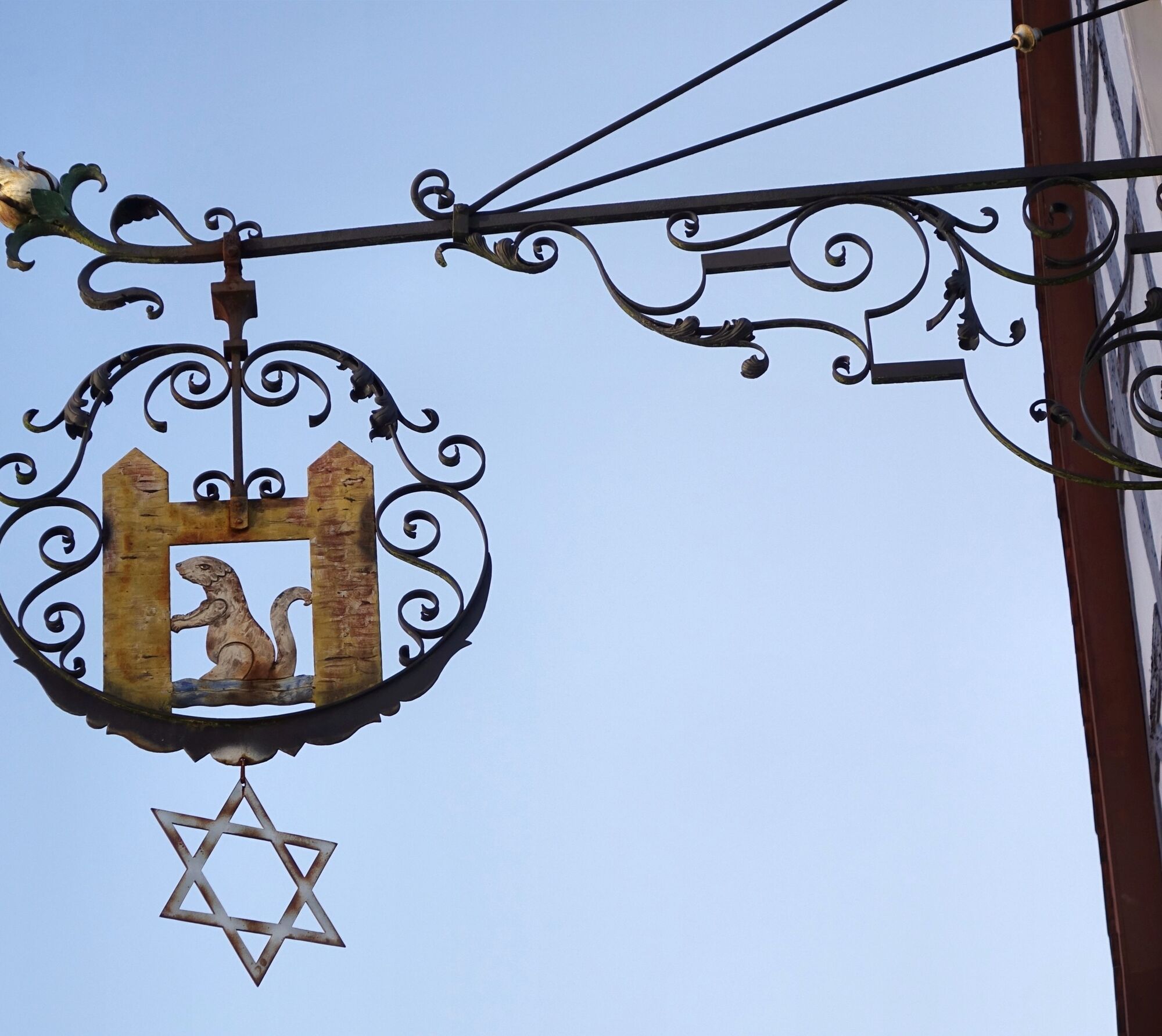
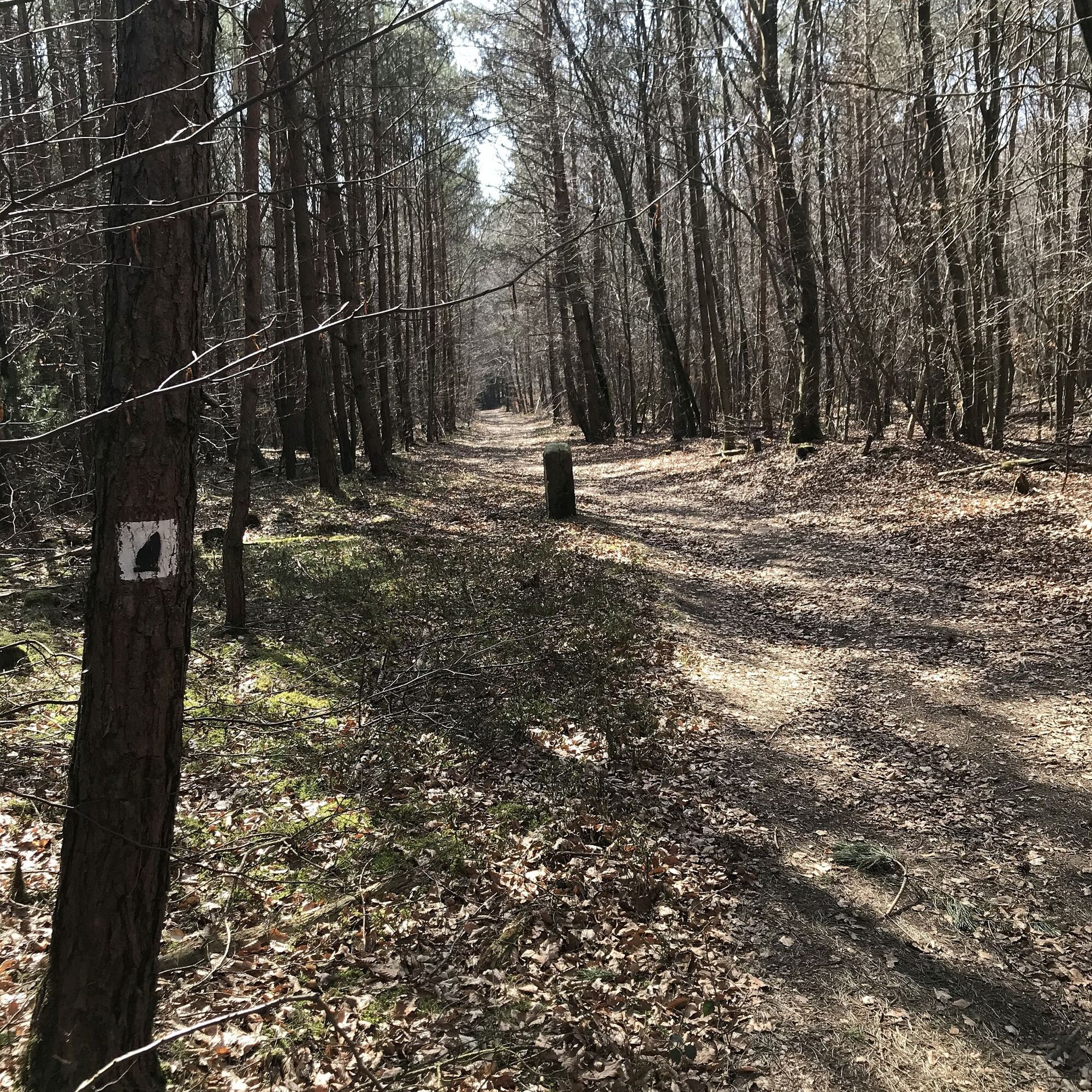
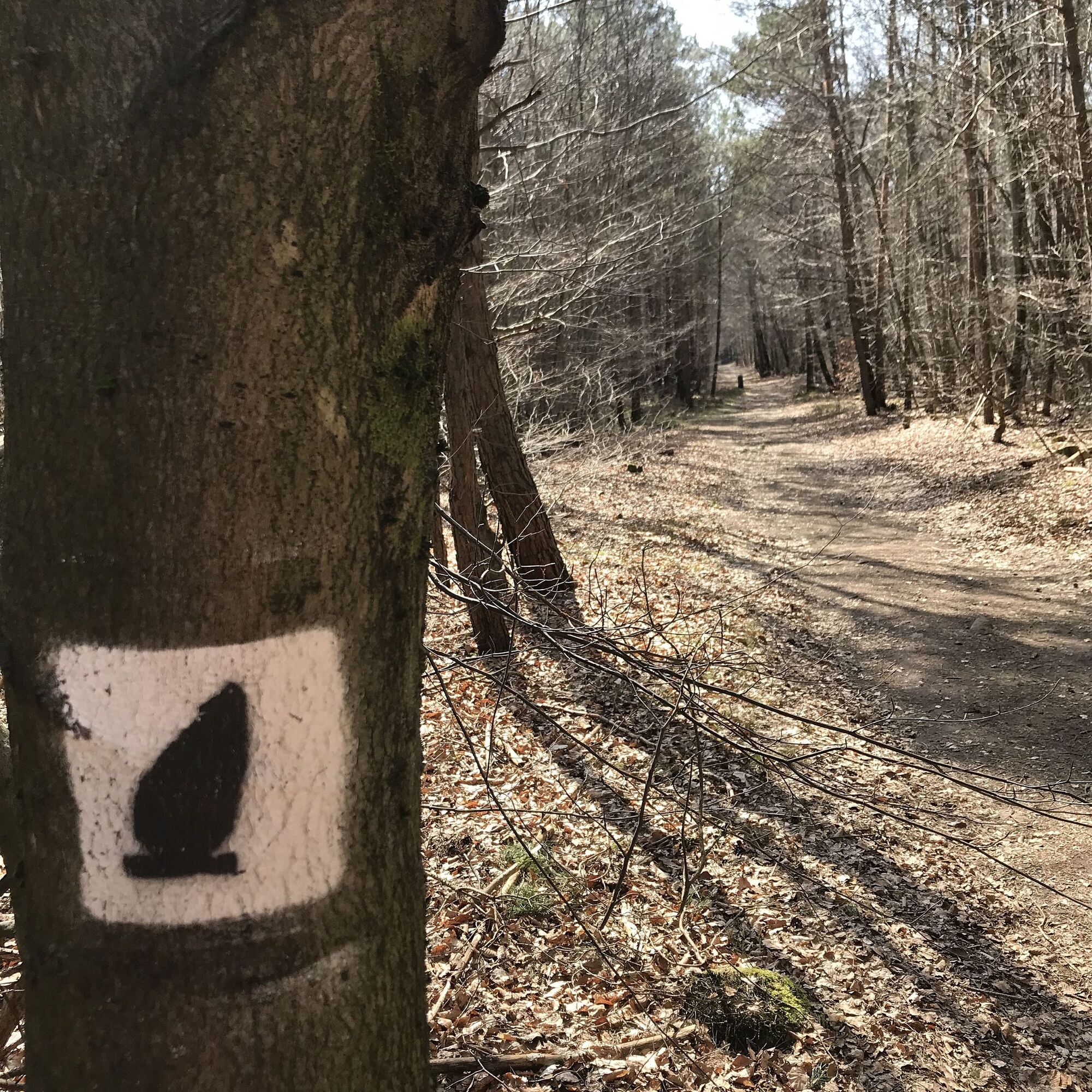
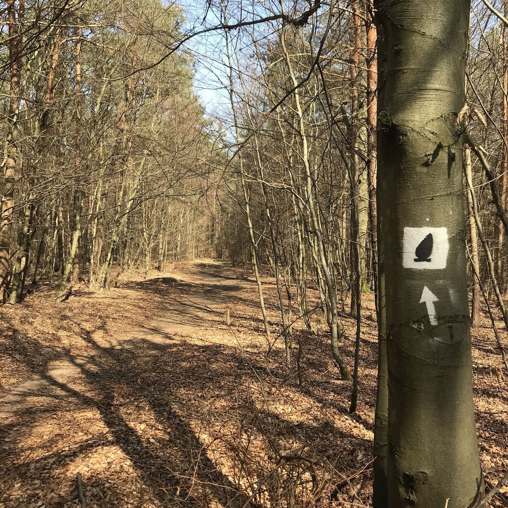
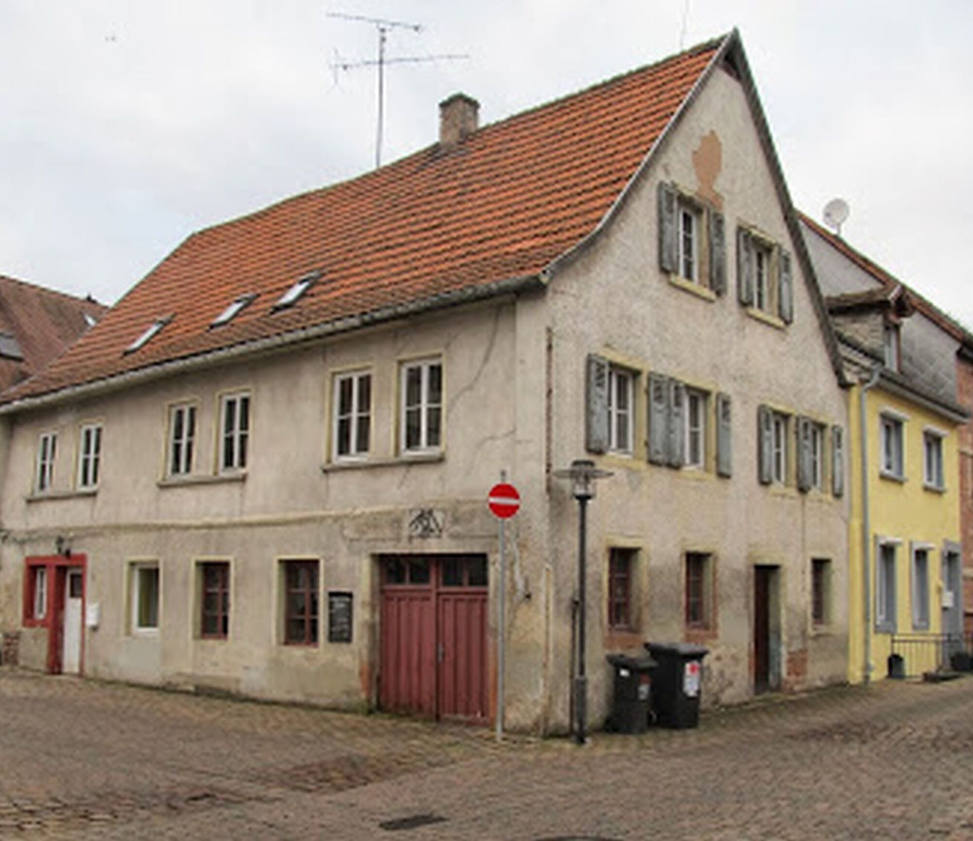
We follow the stickers (white Hinkelstein on gray background) through the historic old town, past beautiful half-timbered houses.
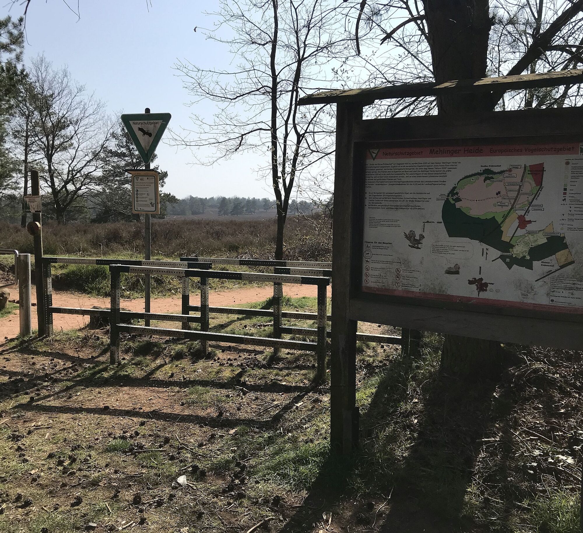
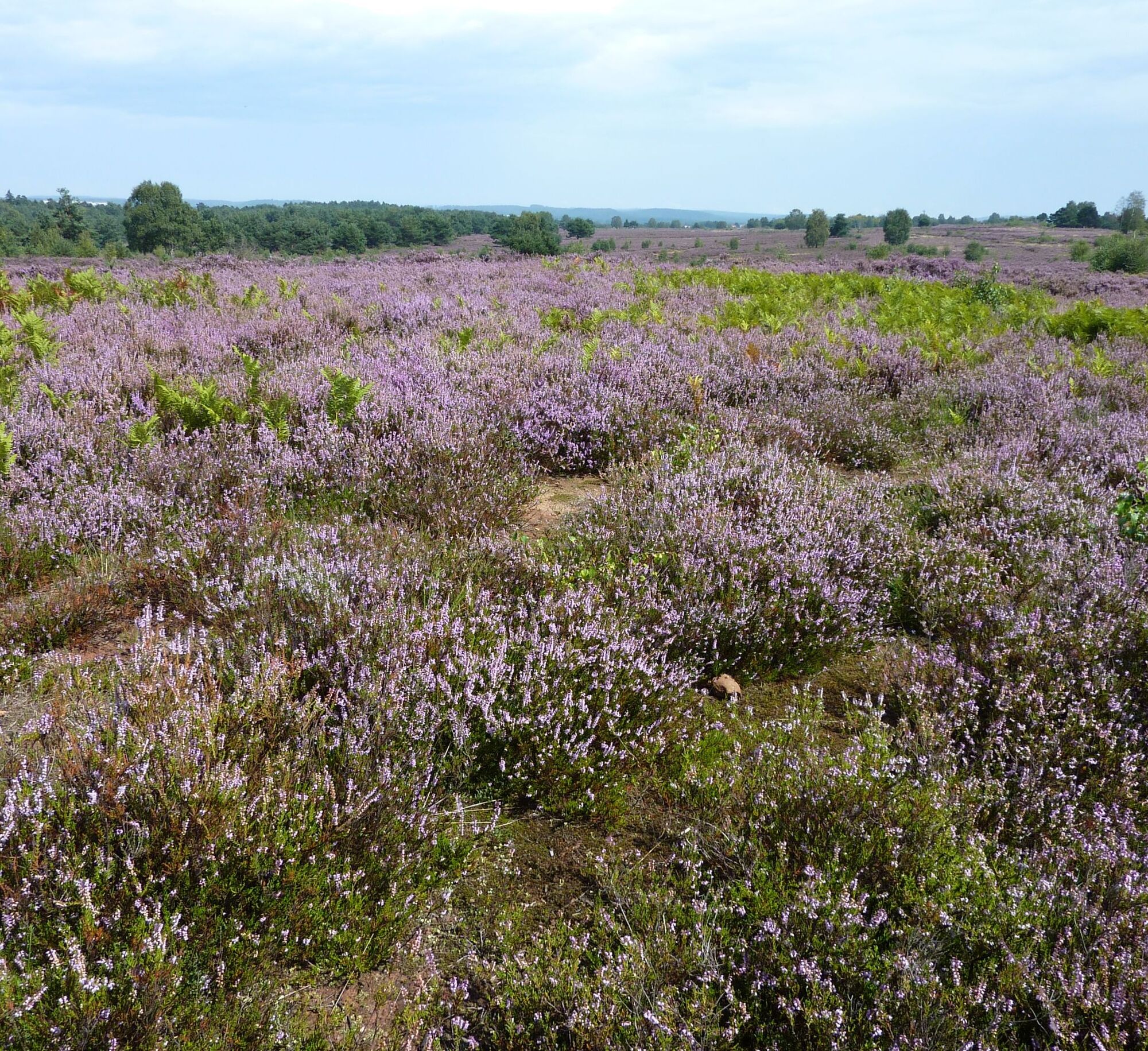
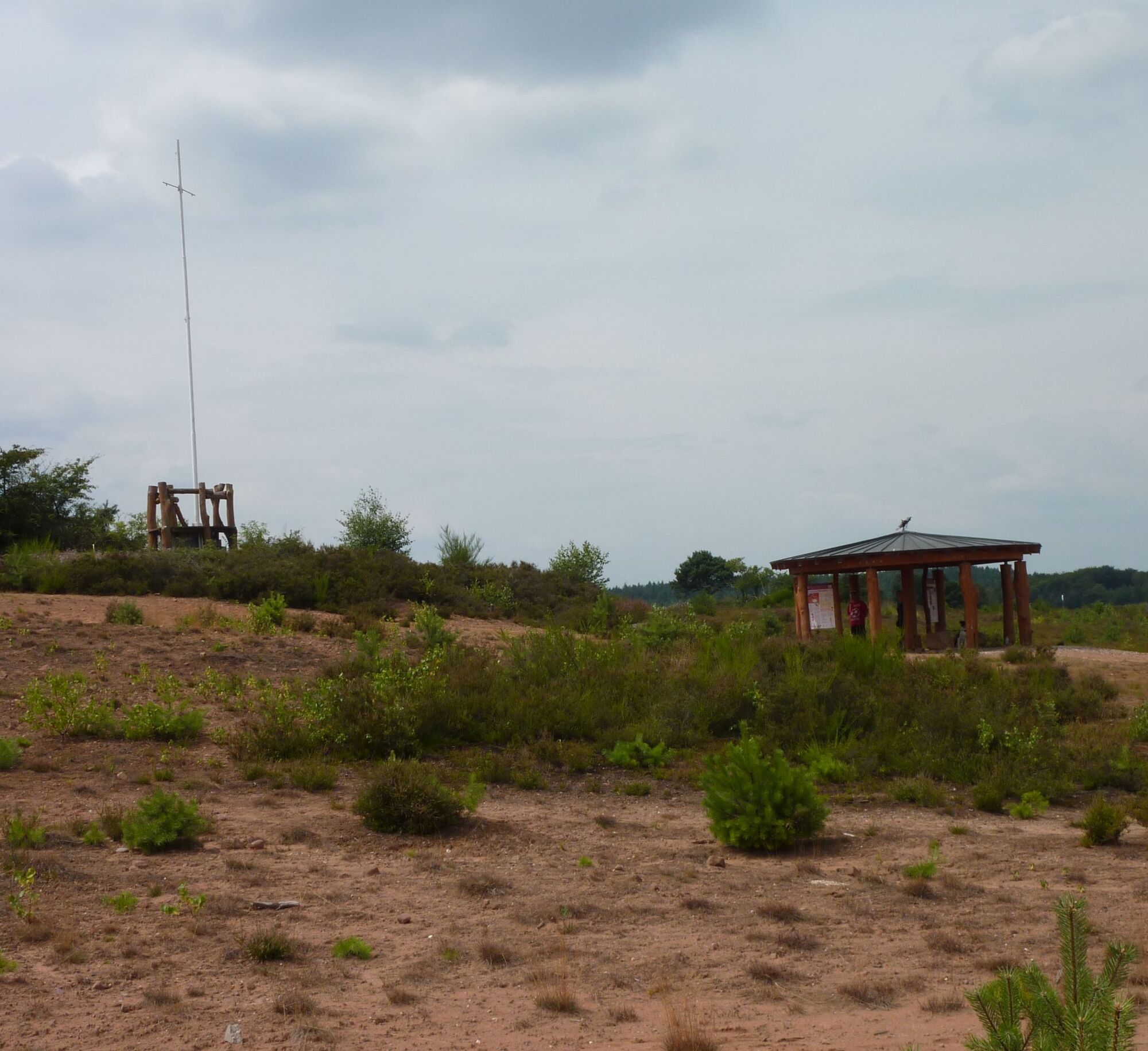
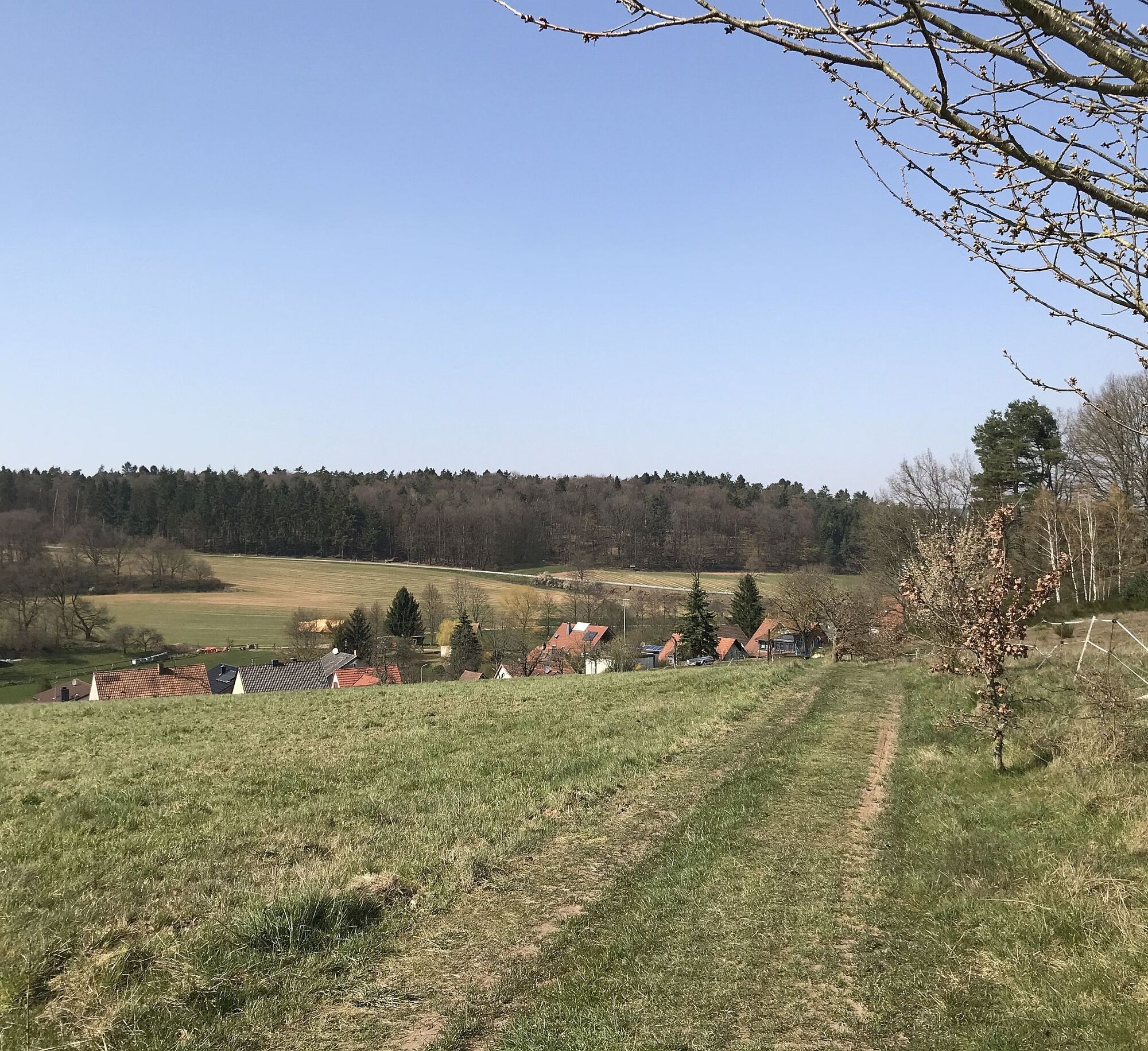
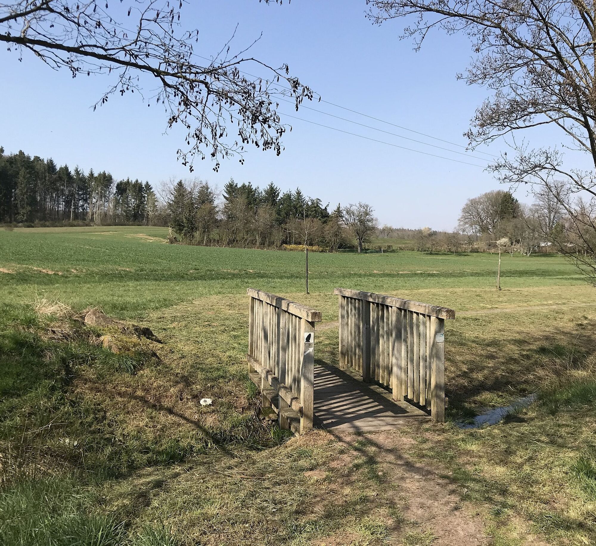
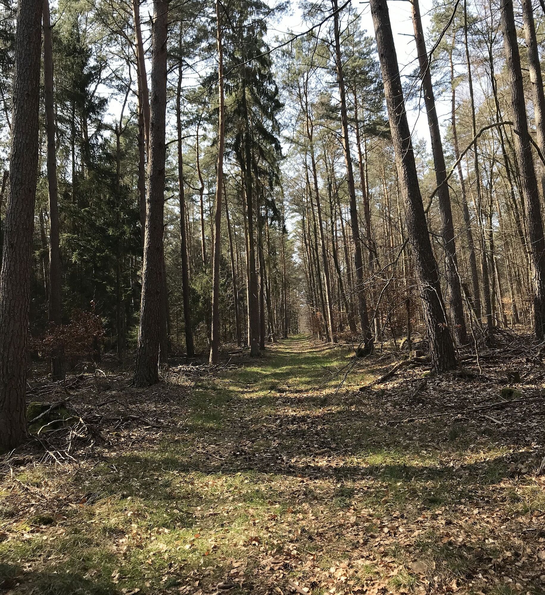
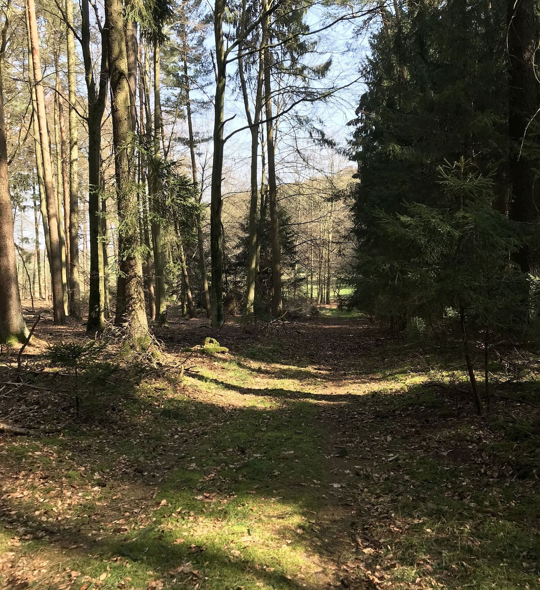
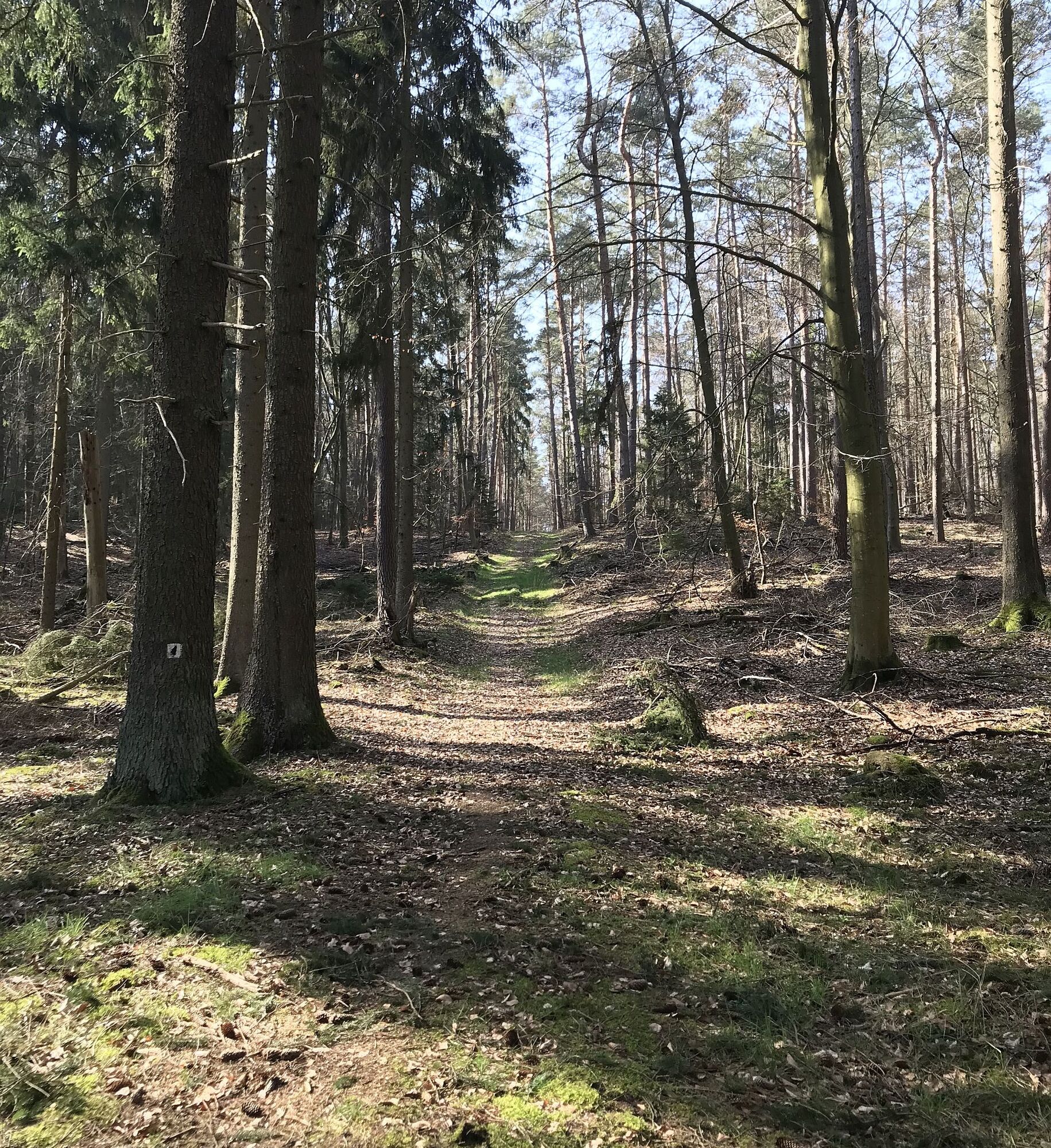
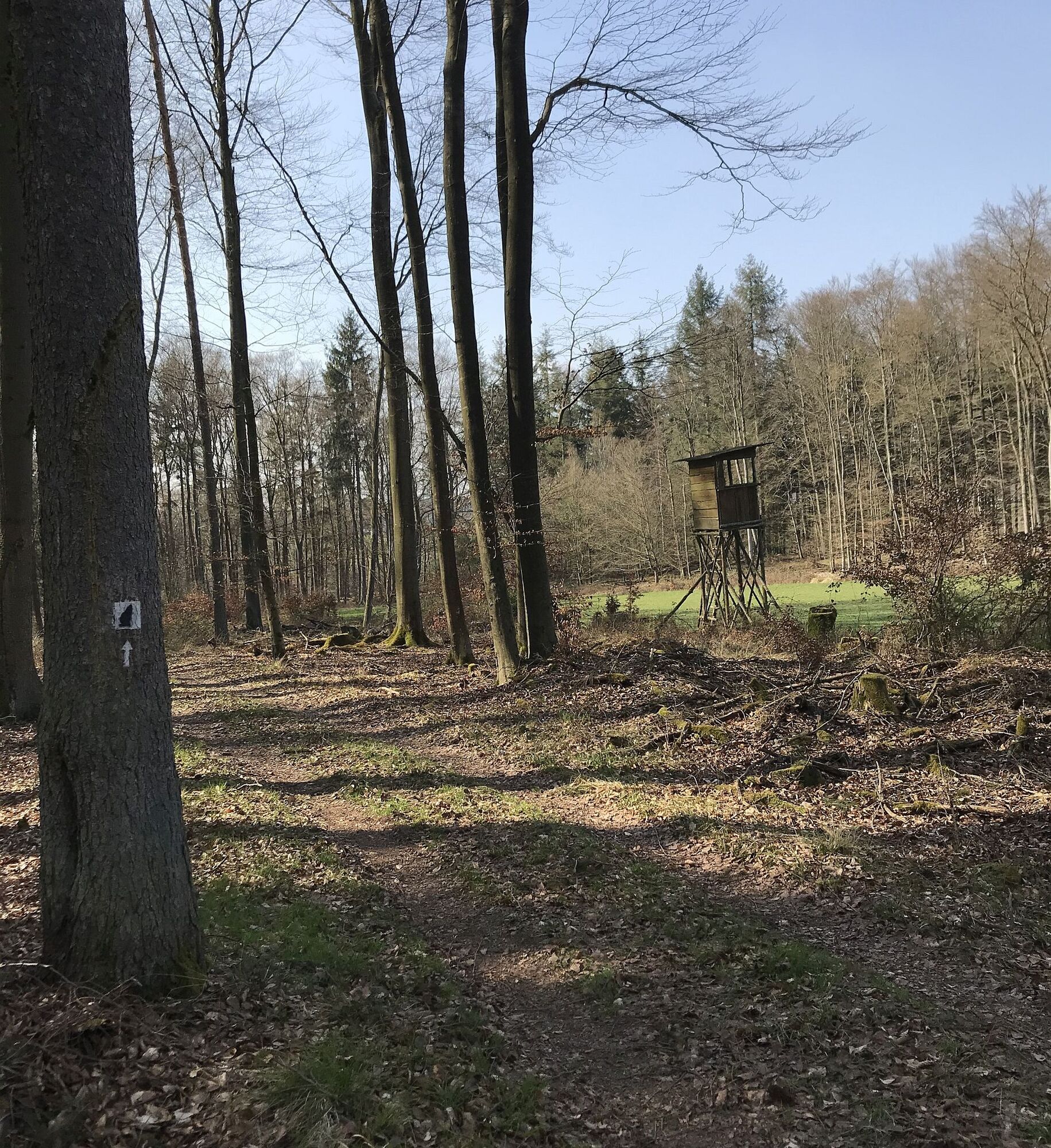
After the city wall, we turn left and then immediately right after 25 m and, after a short stretch on Lauterstraße, go left into Bachstade. Following the path, we reach a paved road after the Kneipp facility, where we turn right. Always uphill, at the first houses turn left, through Johann-Roos-Straße, where we briefly follow downhill to the right at the upper end of Am Rotenberg street. At the next intersection, turn left into the forest. We follow the marking "Black Hinkelstein on white background" or stuck "White Hinkelstein on gray background" over Pfifferlingsberg and turn right at the large crossroads, partly uphill to the Götzenwooger slope. Following beautiful forest sections, we turn right again, along the Streifelberg to a seating area called "Ultesrast" in common parlance. We continue walking along the edge of the Mehlinger Heide to the official entrance of the "Mehlinger Heide", one of the largest heath areas in southern Germany. A visit is especially worthwhile in August when the heath is in full bloom.
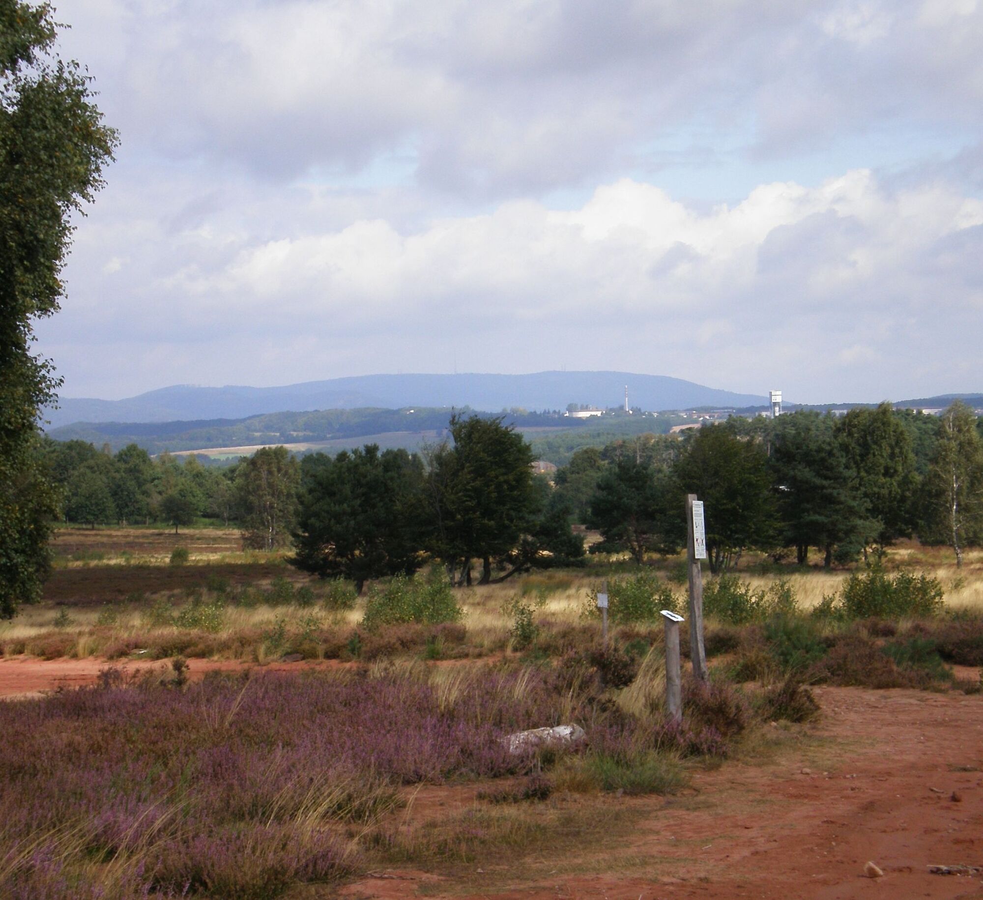
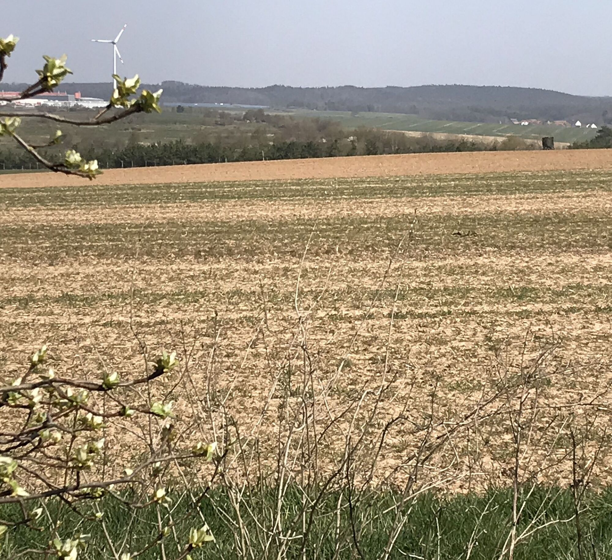
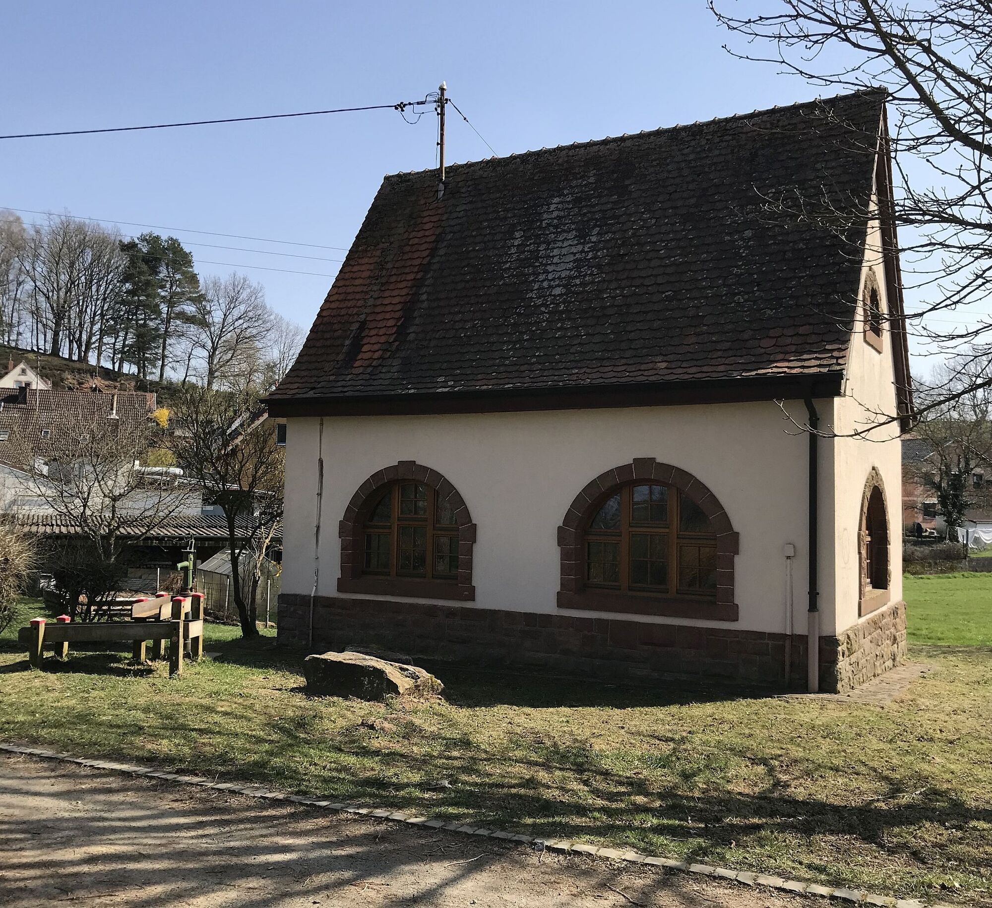
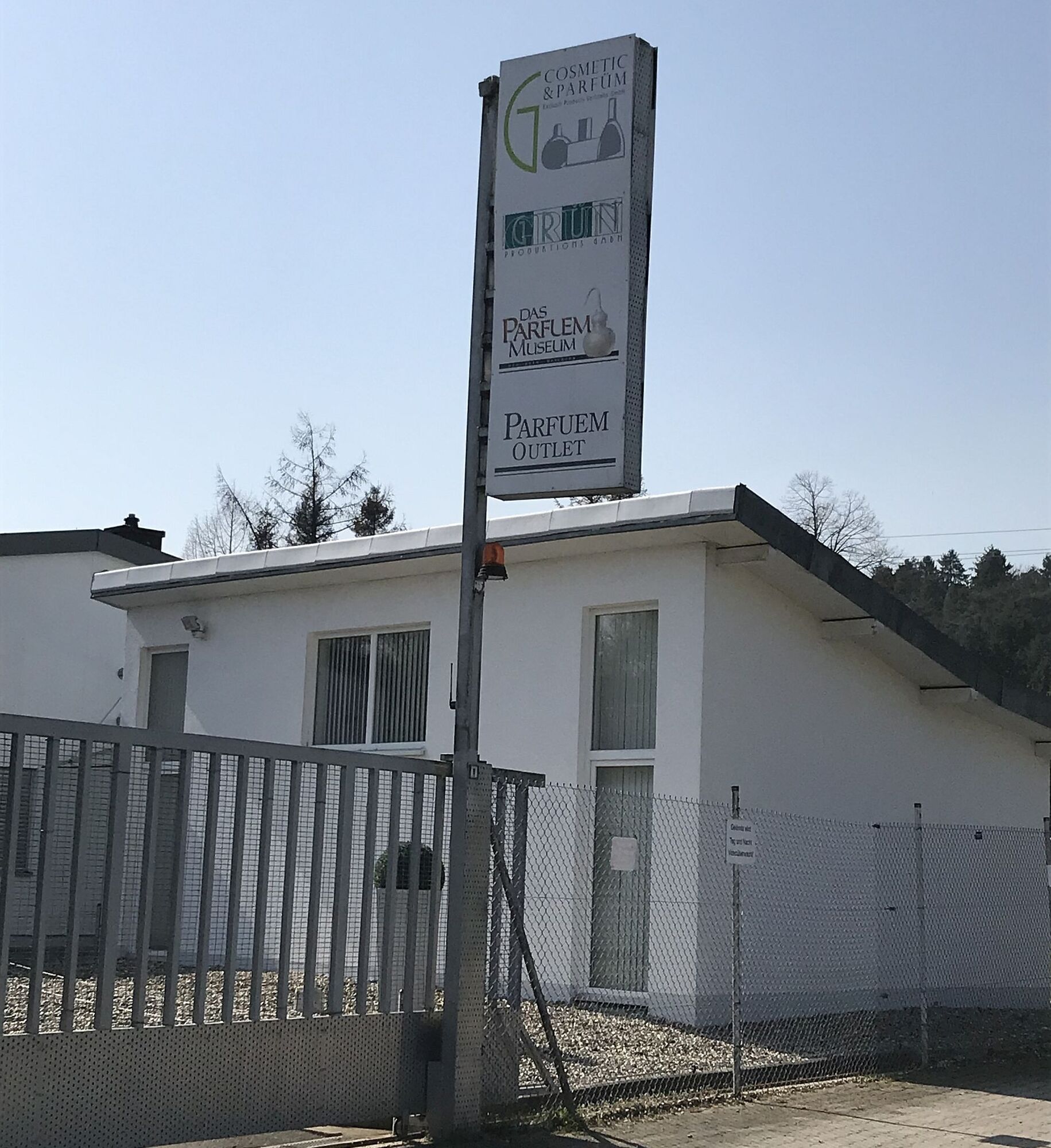
Through open spaces, briefly along the A63, our path leads to the elevation "Hoher Rech", from which we have an impressive view over the former US military airport Sembach into the southern Palatinate. Through Baalborn, we hike through meadows past a chapel and playground along the nicely designed water educational trail (crossing L382) to the Perfume Museum, built based on the film "Perfume" (www.parfuemmuseum.de).
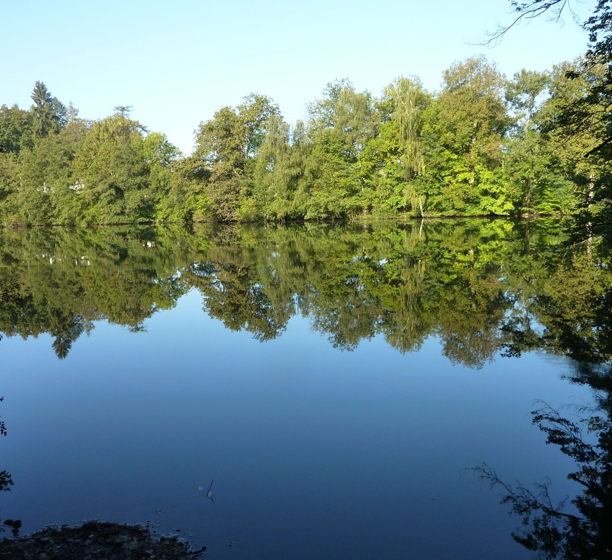
Along the forest edge via Mönchkopf slightly uphill to Sonnenkopf, we continue on natural paths to the Lanzenbrunner Weiher, a gem in the Otterberg forest. Varied, the trail continues. We now walk through the valley of the Grafenthaler Bach, past the Husarenbrunnen, to the signpost at Drehenthalerhof.
Now we follow the marking for access paths "White Hinkelstein on yellow background" through the Drehenthalerhof (approx. 1.1 km) to the bus stop in the western part.
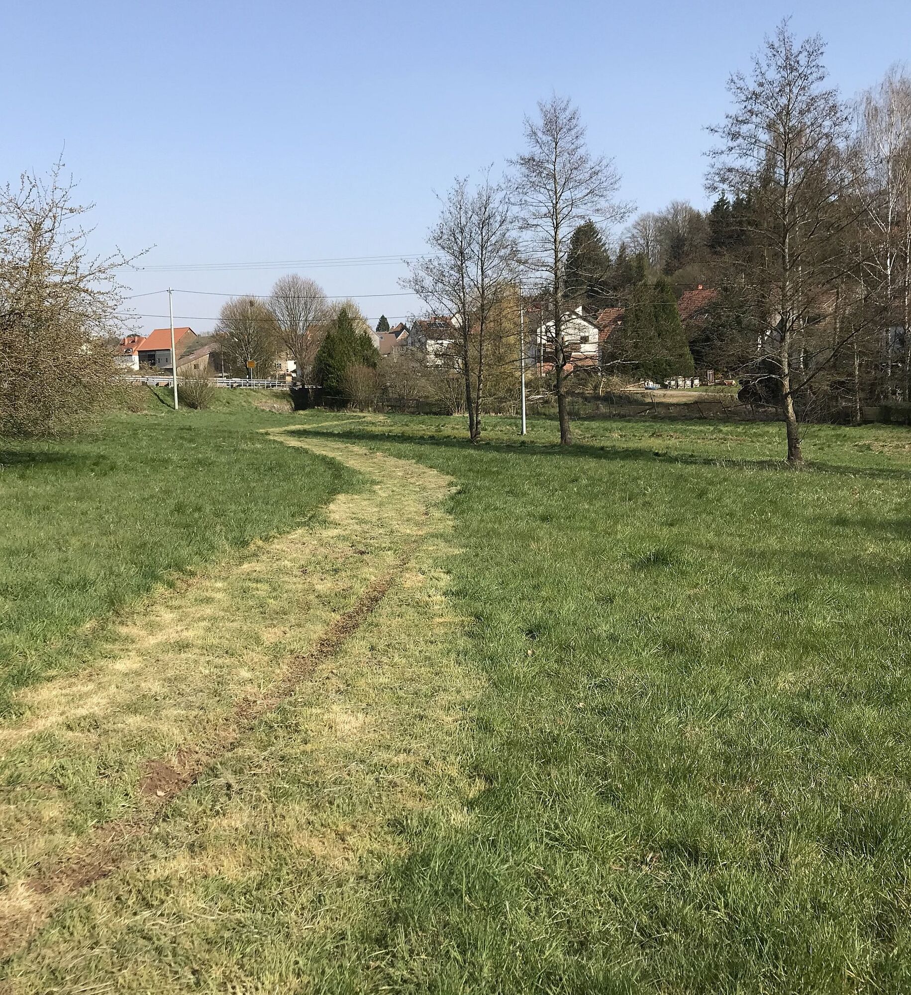
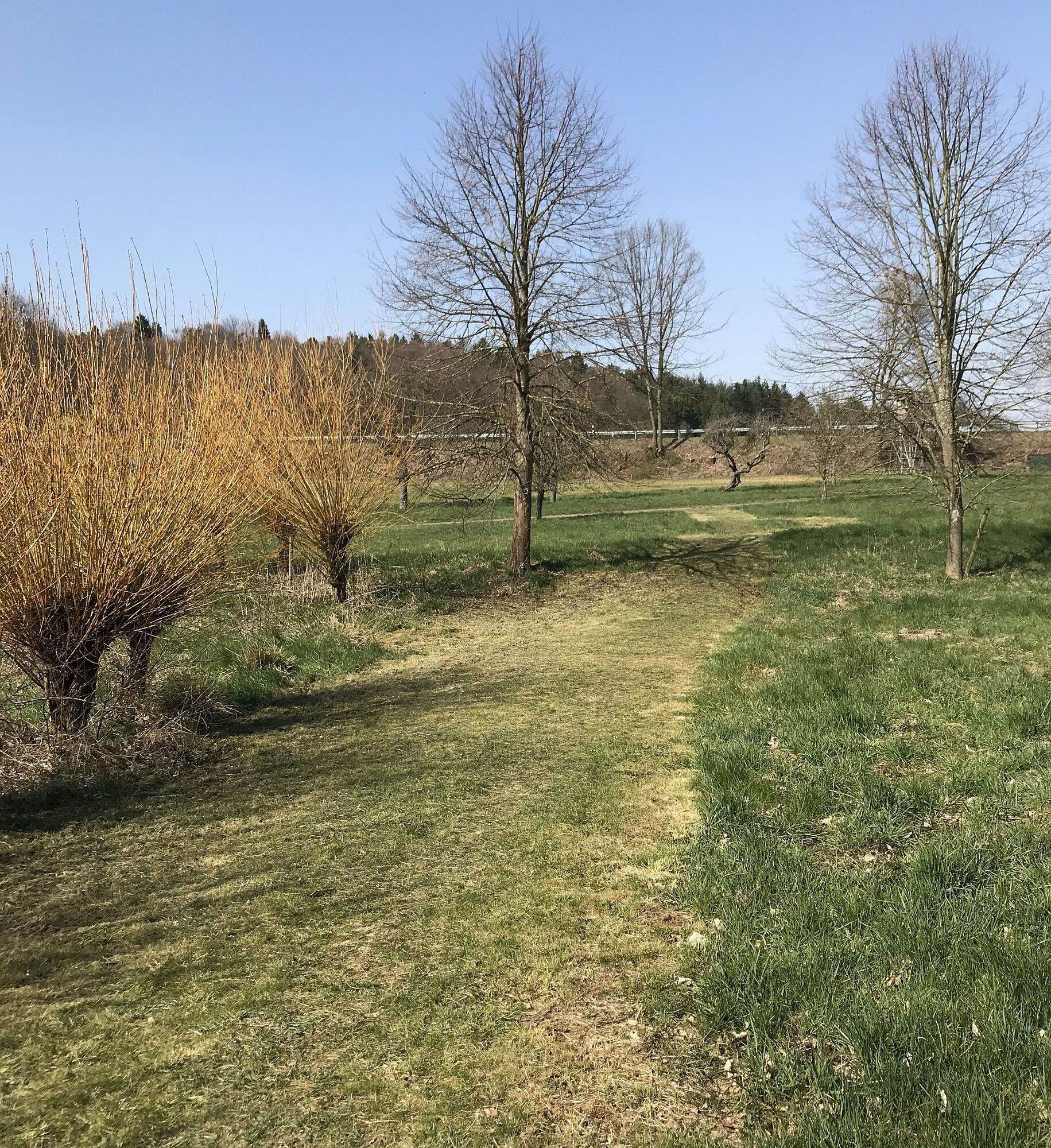
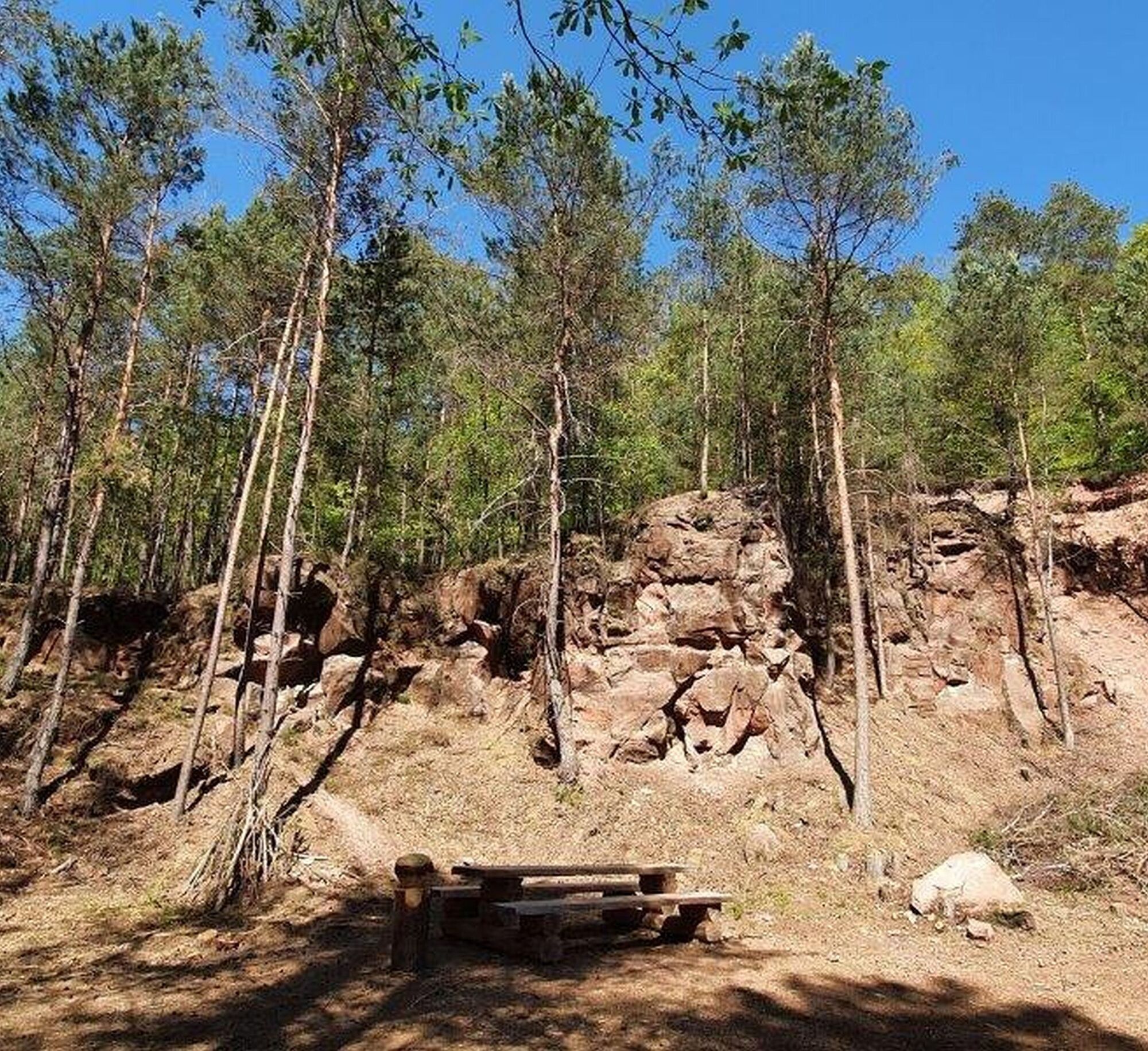
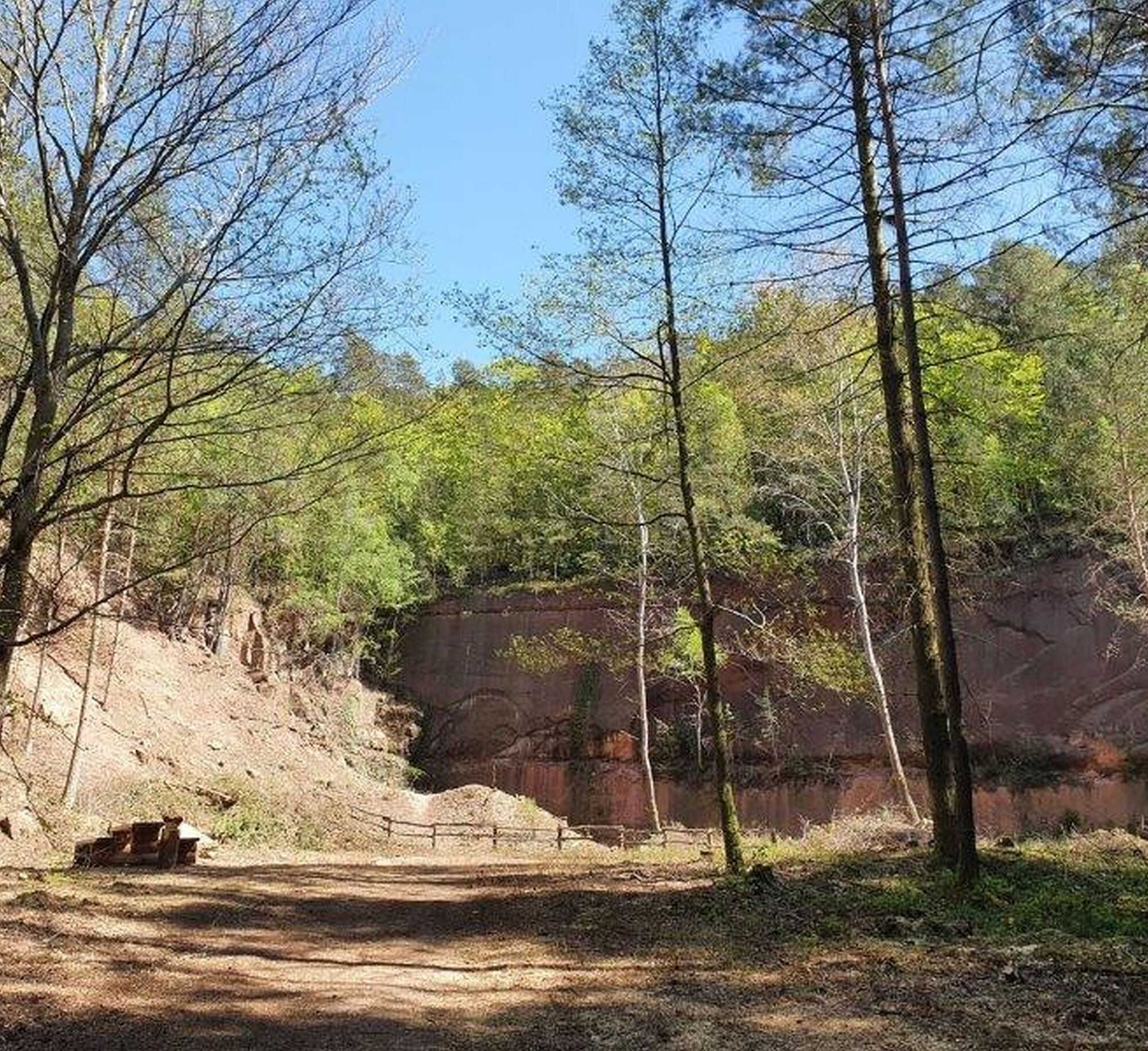
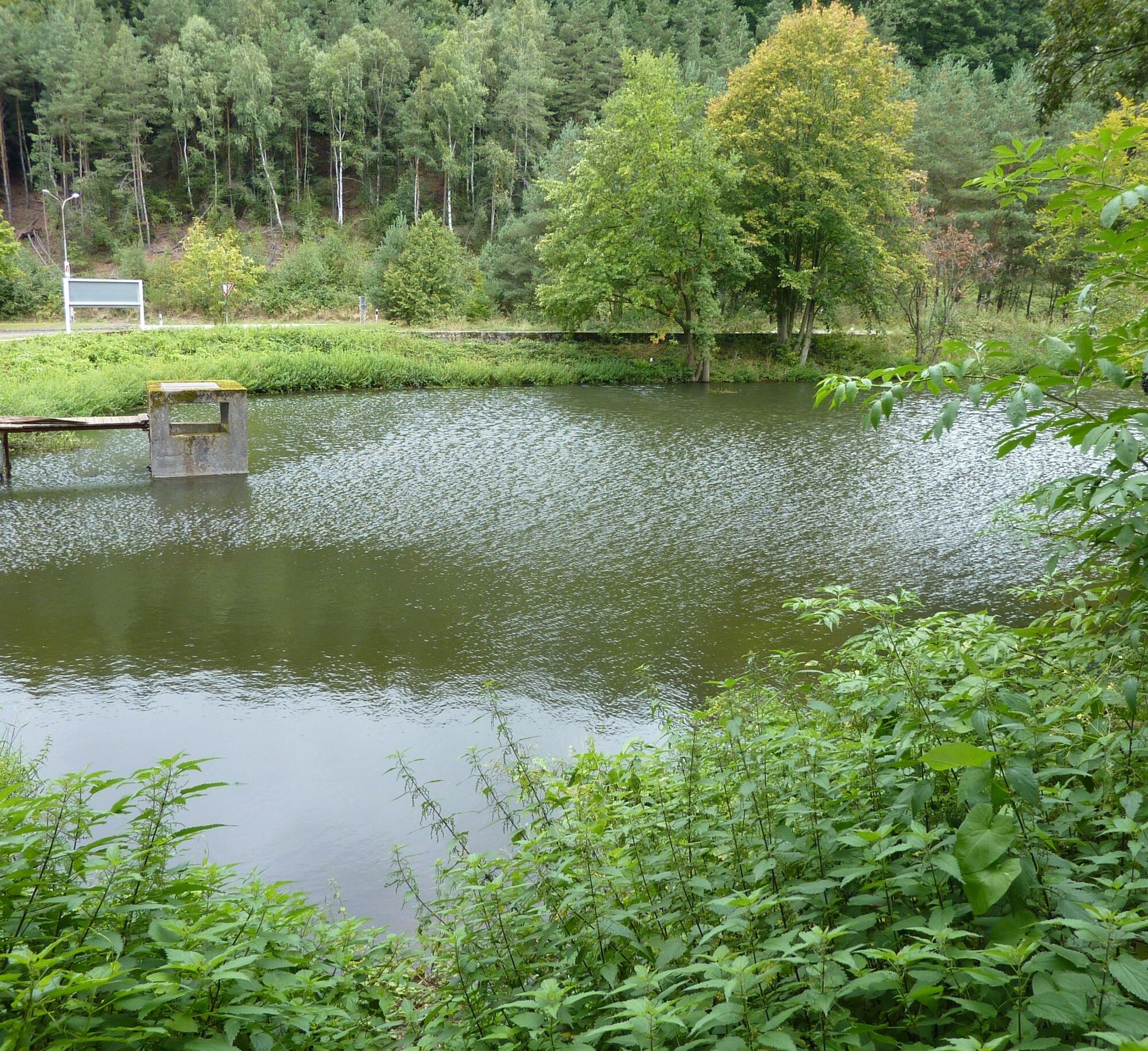
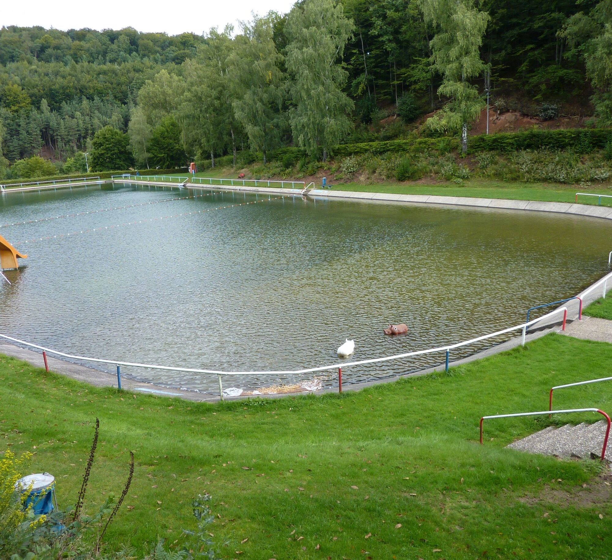
Then we turn left into the Scheidwald and walk downhill, with a small detour to the exposed Scheidwald quarry with a resting area and through the Otterbach valley to the Natural swimming pool Otterberg, a beautifully located public swimming pool. Continuing along the valley, we arrive at the Johannis parking lot.
We cross the parking lot and Johannisstraße and enter the old town of Otterberg through the "hole" (passage between the houses at Kraus Inn) to the starting point of the circular hiking trail, the Abbey Church.
Tak
For our hiking tours, we recommend the following standard equipment:
- Sturdy footwear
- Weather-appropriate clothing
- Sun and rain protection
- Sufficient supply of food and drinks, as not everywhere are dining or shopping facilities available or open.
- Even though the paths are very well signed throughout, it is recommended for safety reasons always to carry a suitable
hiking map, so that, for example, in the event of a thunderstorm or an emergency you can quickly find a safe area.
- Hiking poles recommended.
General notes:
Especially in autumn, pay attention to fallen leaves covering unevenness, roots, stones, or holes in the path. After thunderstorms or rainstorms, trees may still fall or branches break. On natural paths, there can be muddy and slippery sections in adverse weather. Not all rocks or cliffs are secured with ropes or railings. Surefootedness is required in some places. You must expect such path impairments when hiking. If you find some sections impassable, you should bypass them.
NOTE:
We strive to announce all closures due to forestry work or hunting associations on this platform. However, there may still be unexpected path closures or detours. If you encounter these, please follow the instructions for your own safety.
Via the A 63 - Otterberg exit;
Via the A 6 - Enkenbach-Alsenborn exit, L 382 via Mehlingen, Baalborn to Otterberg;
Otterberg: Rail connection via Kaiserslautern, then by bus 130;
Timetable information: www.vrn.de
Otterberg - Parking lot at the town hall.
Coordinates: Longitude 7° 46´ 25´´ / Latitude 49° 30´ 3´´
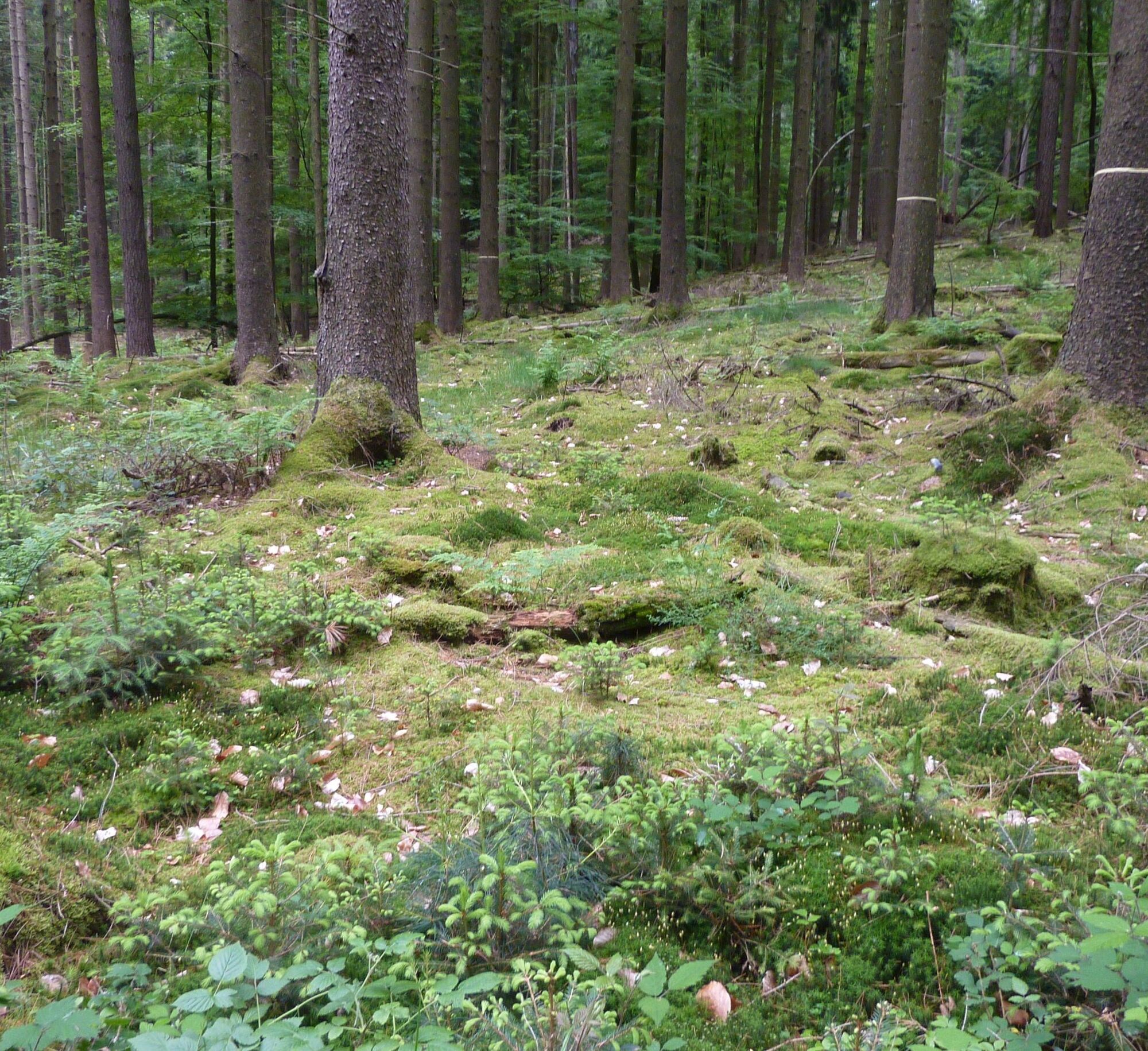
Who would expect a heathland at the edge of the German part of the cross-border UNESCO biosphere reserve "Pfälzerwald - Vosges du Nord"? And one of the largest in southern Germany and one of the most beautiful at all? Probably only insiders.
Let yourself be inspired by the uniqueness of this landscape....
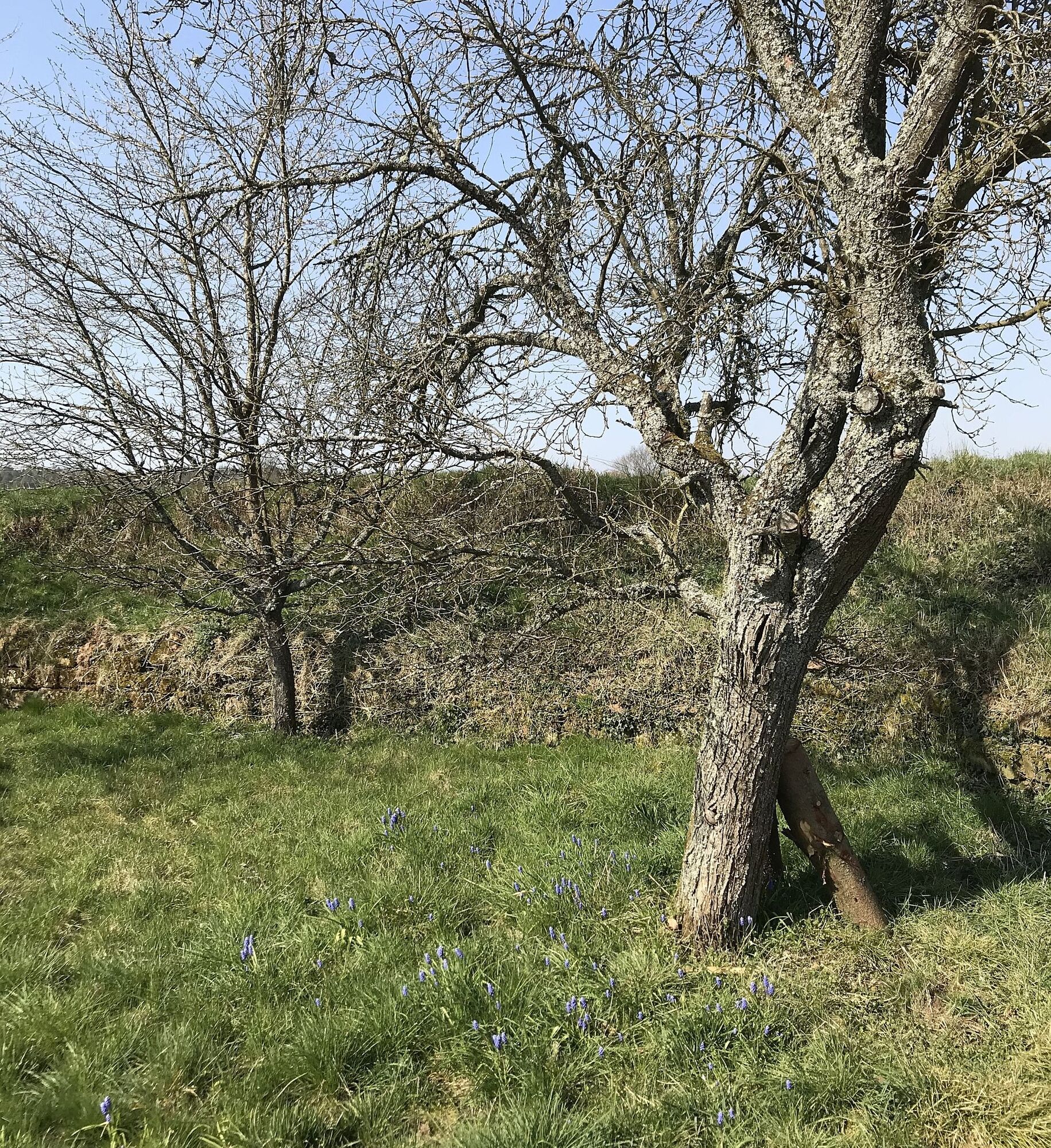
The heath is naturally most beautiful during the heath blossom which usually begins at the end of July, peaks in August, and slowly fades in September. But at all other seasons a visit to the Mehlinger Heide is a special experience. In spring, when you can let your gaze roam over the awakening landscape, in autumn when it smells autumnal or in winter when the ground crunches underfoot. The best is to experience it yourself.
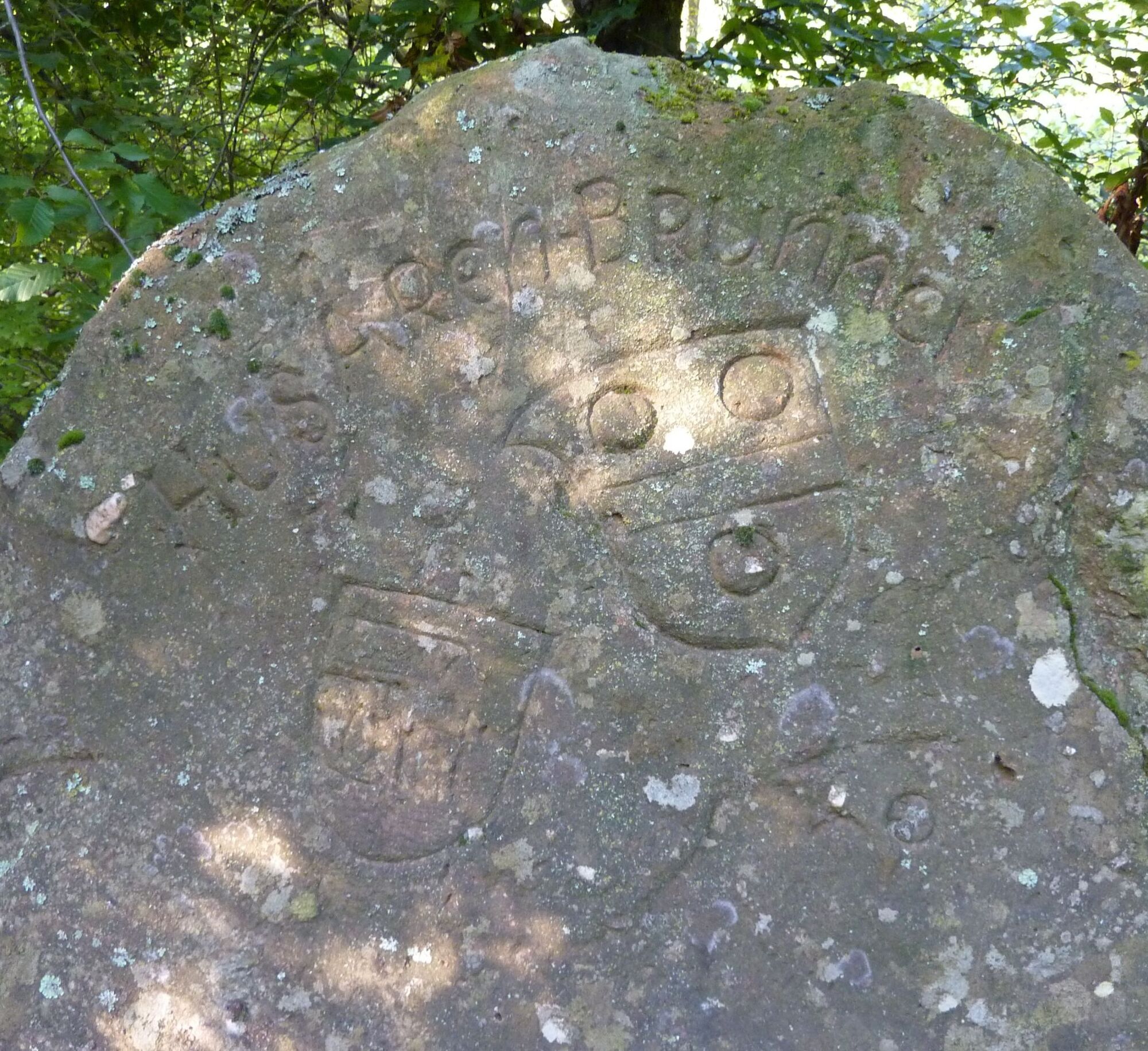
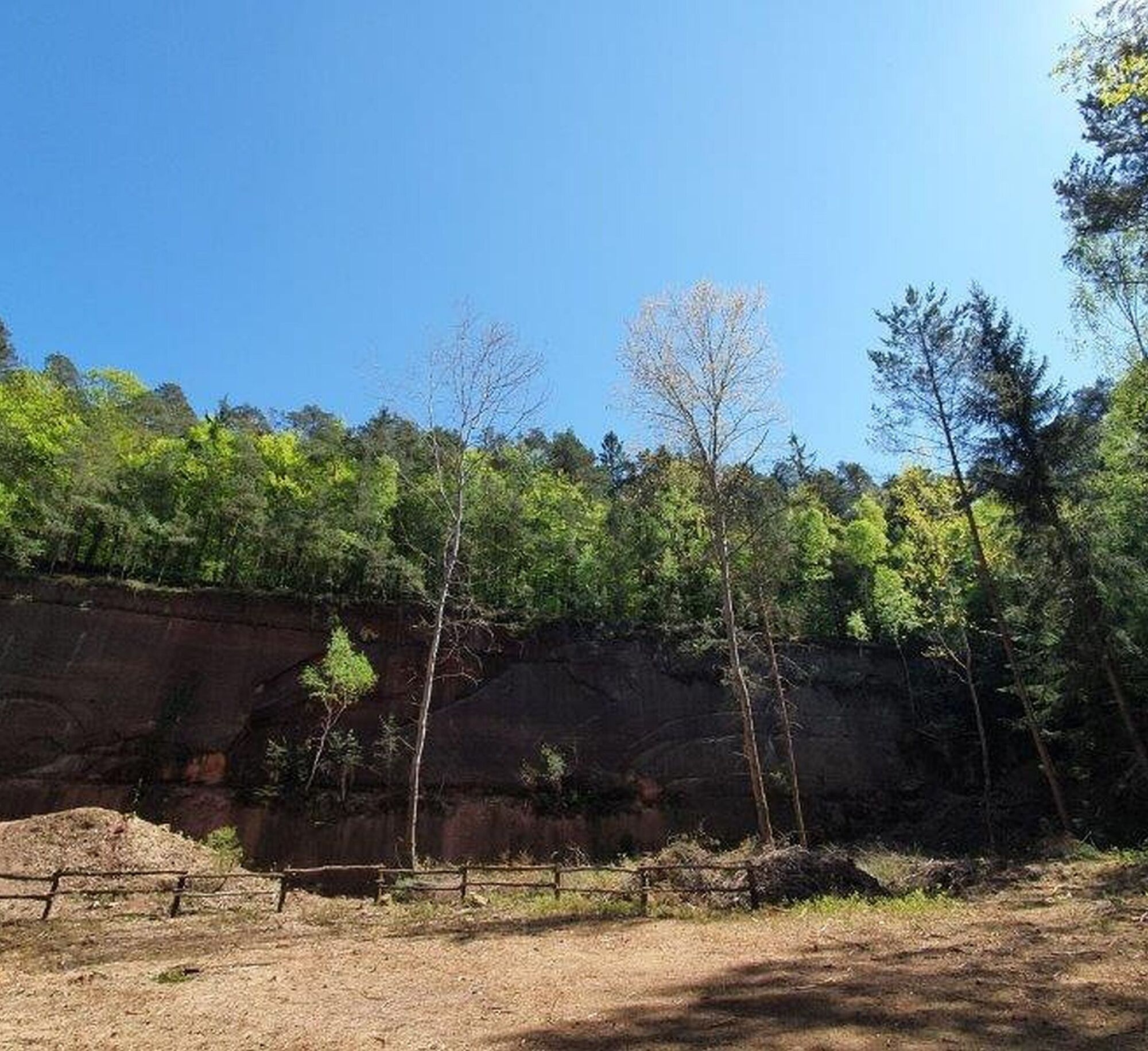
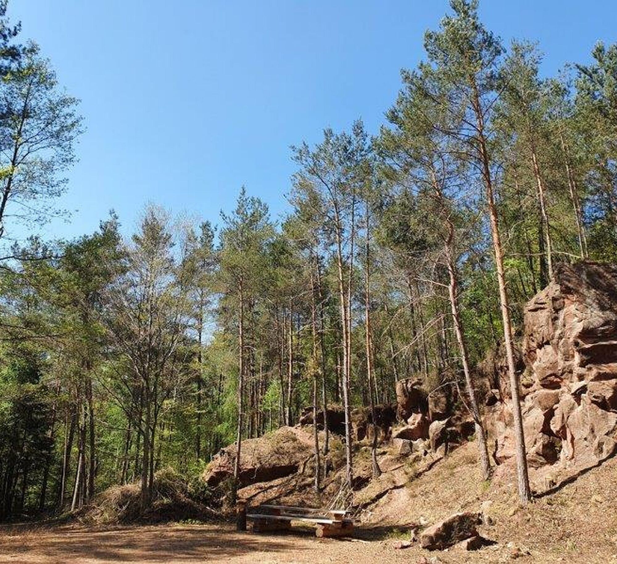
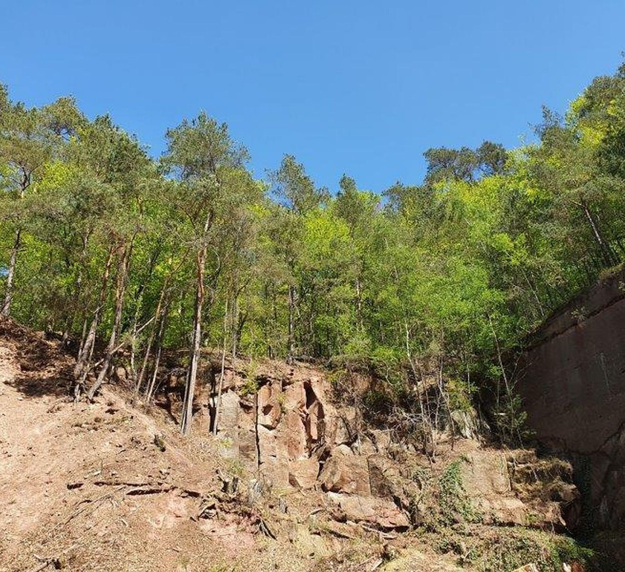
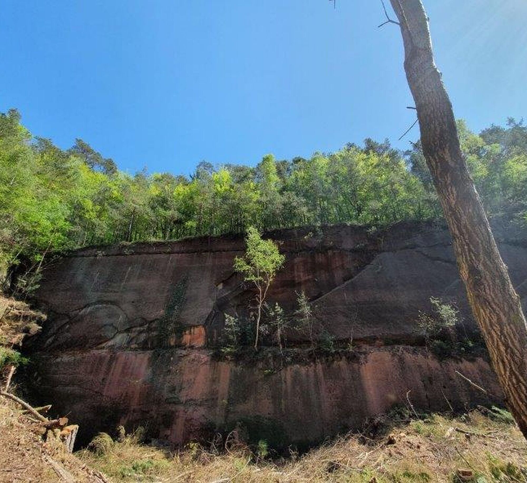
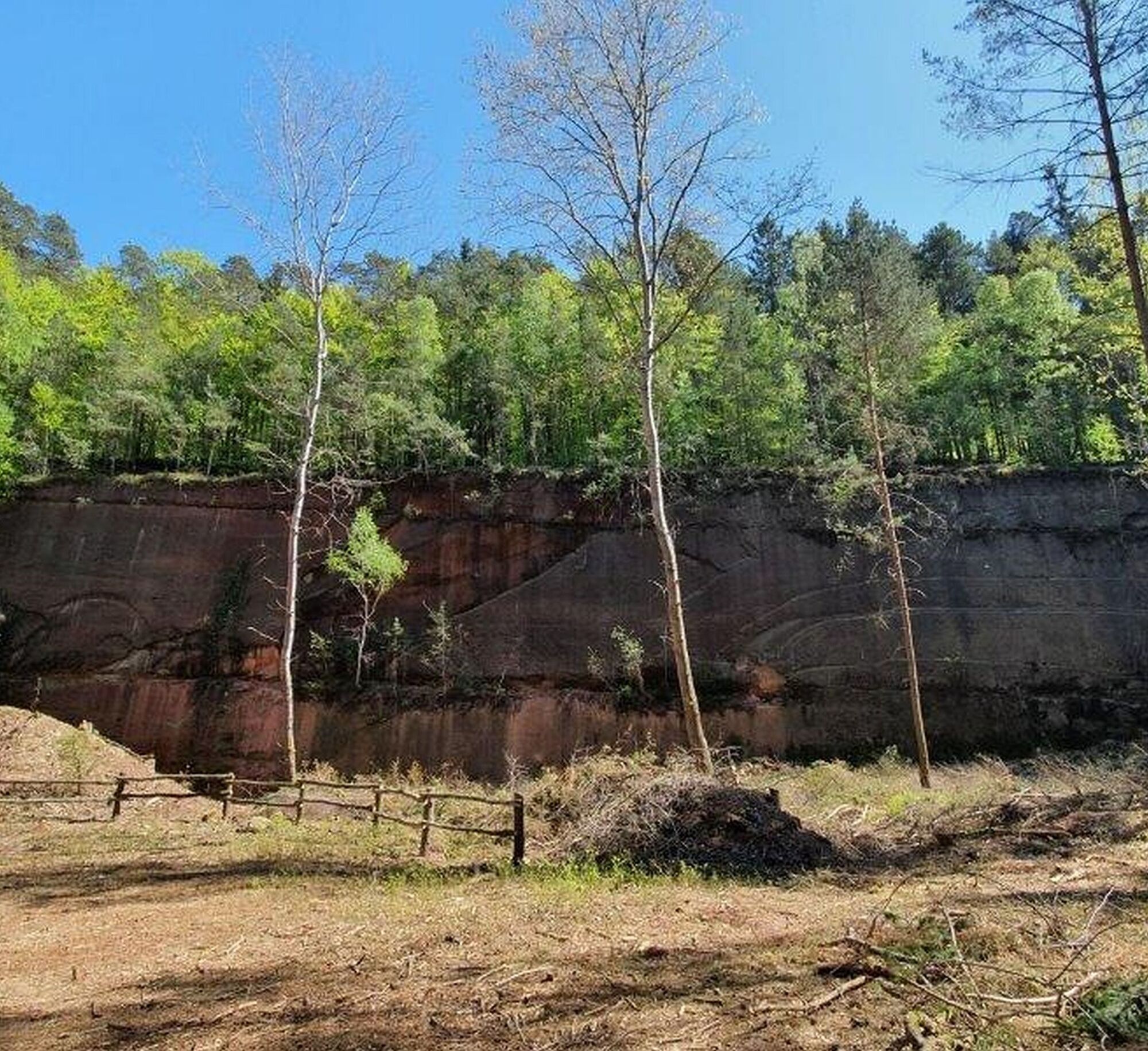
Scheidwald Quarry
The volunteer team around Martin Klußmeier, local head of Drehenthalerhof, has done excellent work at the former quarry in Scheidwald. With support from the Otterberg Forestry Office and the municipal building yard, this quarry was cleared and made accessible again.
The quarry located on the premium trail Hinkelstein towards Drehenthalerhof significantly enhances the trail's experiential character. The monumental rock face stretches imposingly towards the sky. Additionally, a rustic seating group was donated by Martin Klußmeier, making this shady spot in front of the towering sandstone wall of the former quarry very inviting. A special gem that offers lasting added value equally to the tourists and the local population.
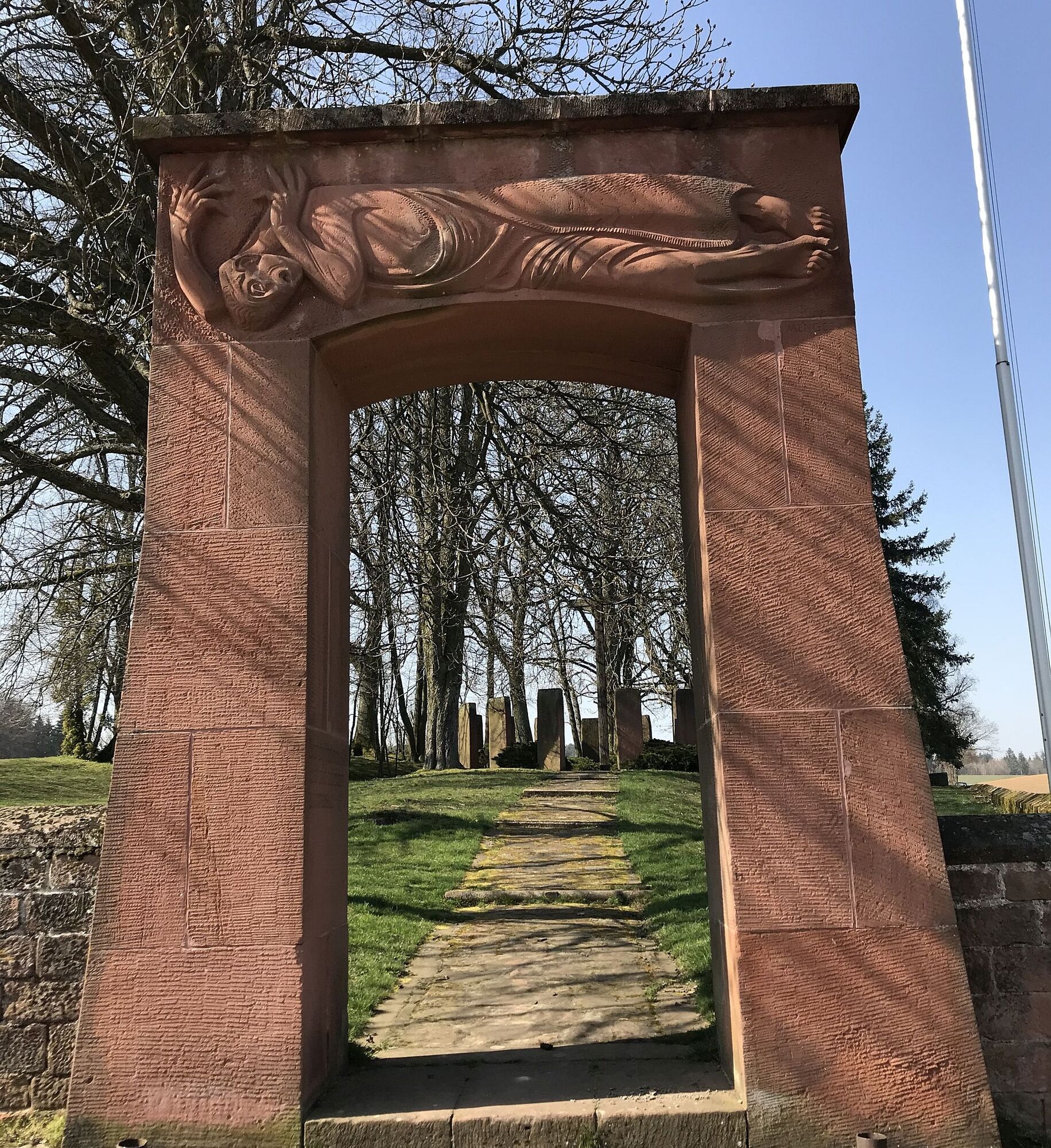
The quarry is also a contemporary witness to the local urban development. While yellow sandstone for the abbey church was quarried from the quarry at today's CVJM conference center, many city houses were built from red sandstone. This was also quarried here at Scheidwald alongside three other quarries around Otterberg. However, the sandstone blocks for the large war memorial on Heiligenmoscheleberg also come from this quarry.
You can request the guest directory as a *.pdf file via one of the following addresses:
- tourist-info@otterbach-otterberg.de
Dining:
Dining is available in Otterberg and at the edge of the Mehlinger Heide (Flammkuchen hut).
Tourist Information Otterbach-Otterberg
Hauptstraße 54, 67697 Otterberg, Tel.: 06301 / 607 800
Internet:
Email: tourist-info@otterbach-otterberg.de
Tourism Office Winnweiler
Jakobstraße 29, 67722 Winnweiler, Tel.: 06302 / 602 0
Internet:
Email:
Verbandsgemeinde Enkenbach-Alsenborn
Tourist Information, Hauptstr. 18, 67677 Enkenbach-Alsenborn, Tel. 06303 / 913-0
Internet: www.enkenbach-alsenborn.de ,
Email: tourismus@enkenbach-alsenborn.de
Tourist Information Pfälzer Bergland
Tel.: 06381 / 424270
Internet: www.pfaelzerbergland.de
Email: touristinormation@kv-kus.de
Pfalztouristik
Visiting the Abbey Church and the historic old town - worth it!
Mehlinger Heide
Scheidwald quarry
Popularne wycieczki w okolicy
Hinkelsteinweg - complete route
średniWędrówka 41,7 kmTeufelstour - Olsbrücken
ciężkiWędrówka 15,1 km- 4,0
Otterberg - Circular Hiking Route 5 - Springs Circular Hiking Route
światłoWędrówka 6,91 km Palatinate Ridgeway Stage 02 Dannenfels - Bastenhaus
średnidługodystansowy szlak pieszy 15,2 kmKatzweiler - mill circular hiking trail
światłoWędrówka 13,1 kmOtterberg - circular hiking trail 3 - Wallonen circular hiking trail
światłoWędrówka 10,7 kmPfälzer Höhenweg Stage 01 Winnweiler-Dannenfels
średnidługodystansowy szlak pieszy 16,6 kmKatzweiler - Humberg-Tour (Rundweg)
ciężkiWędrówka 13,0 kmOtterbach - Waldforscher path in Himmelreich
światłoTrasa tematyczna 2,59 kmLauter Valley cycle path
światłoJazda na rowerze 36,1 km

Wędrówki i tropienie


Nie przegap ofert i inspiracji na następne wakacje
Twój adres e-mail została dodana do listy mailingowej.