


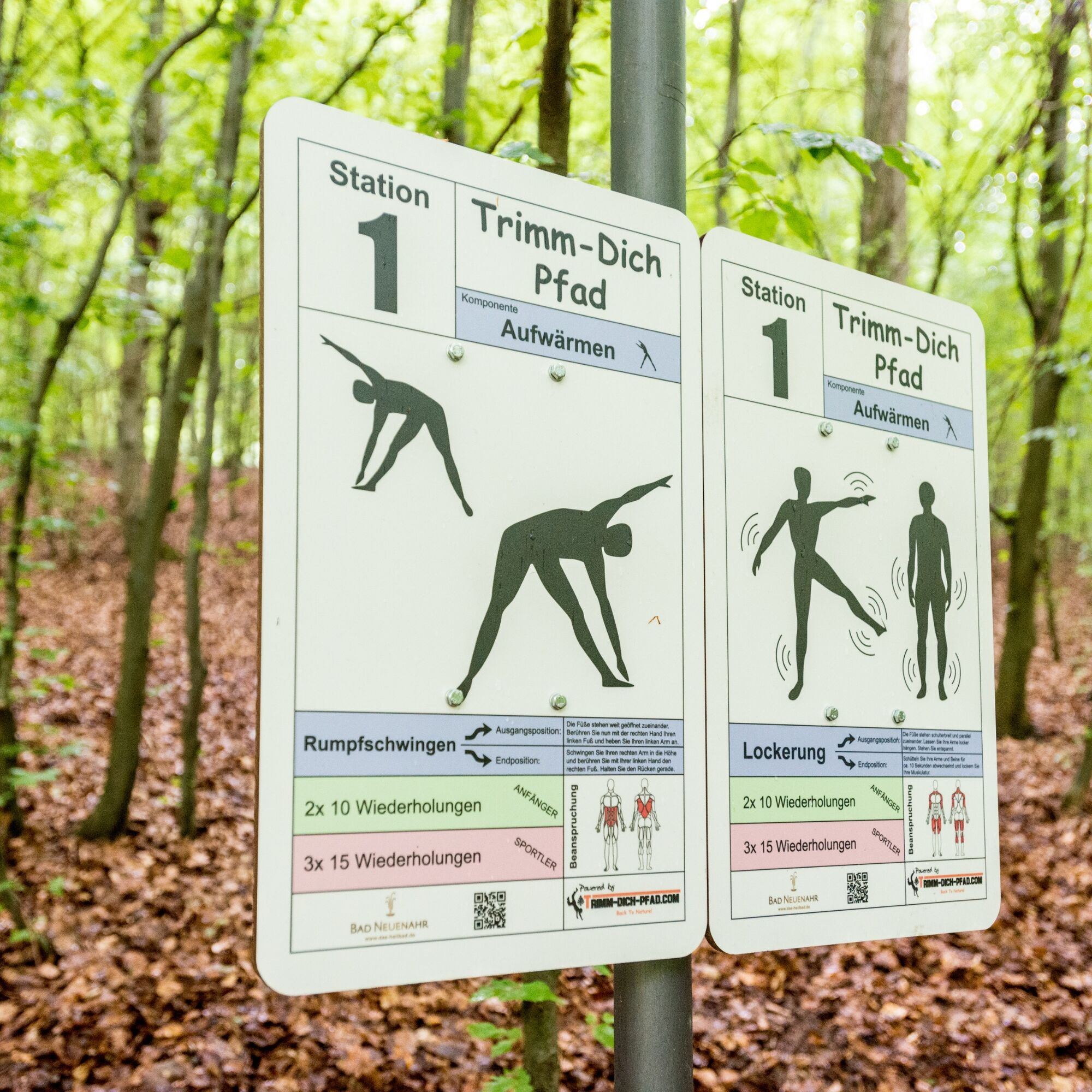
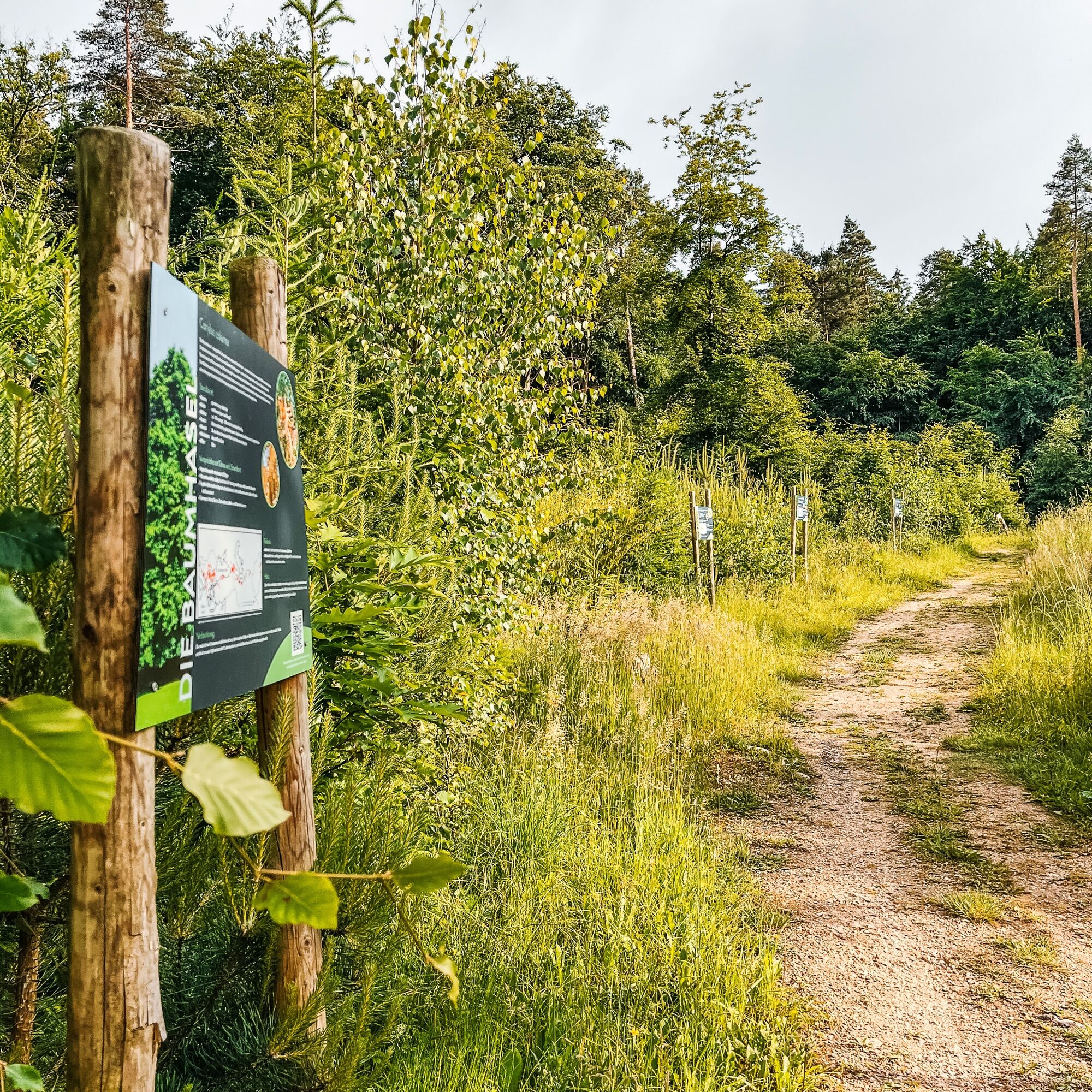
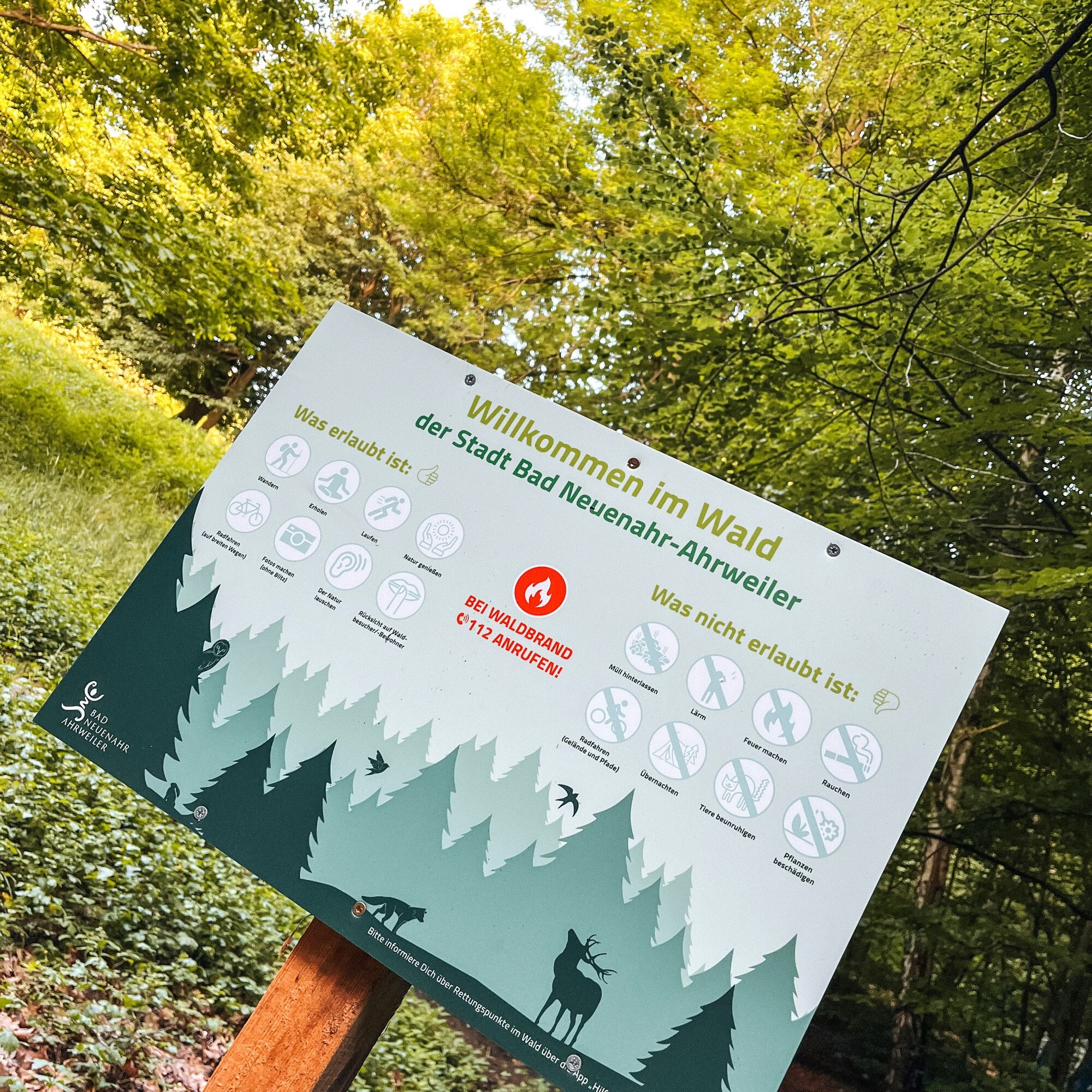
Trimm-Dich-Pfad Bad Neuenahr
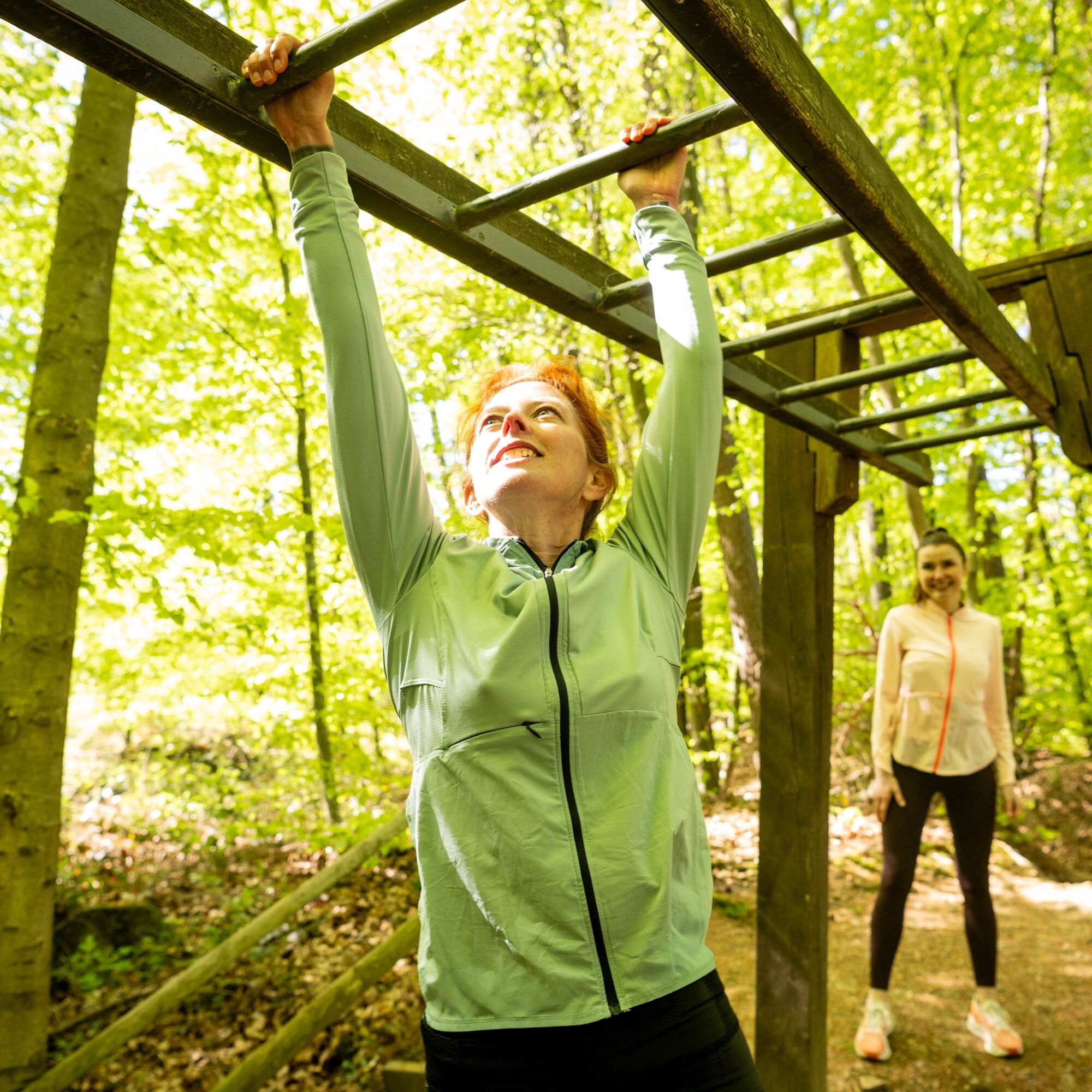
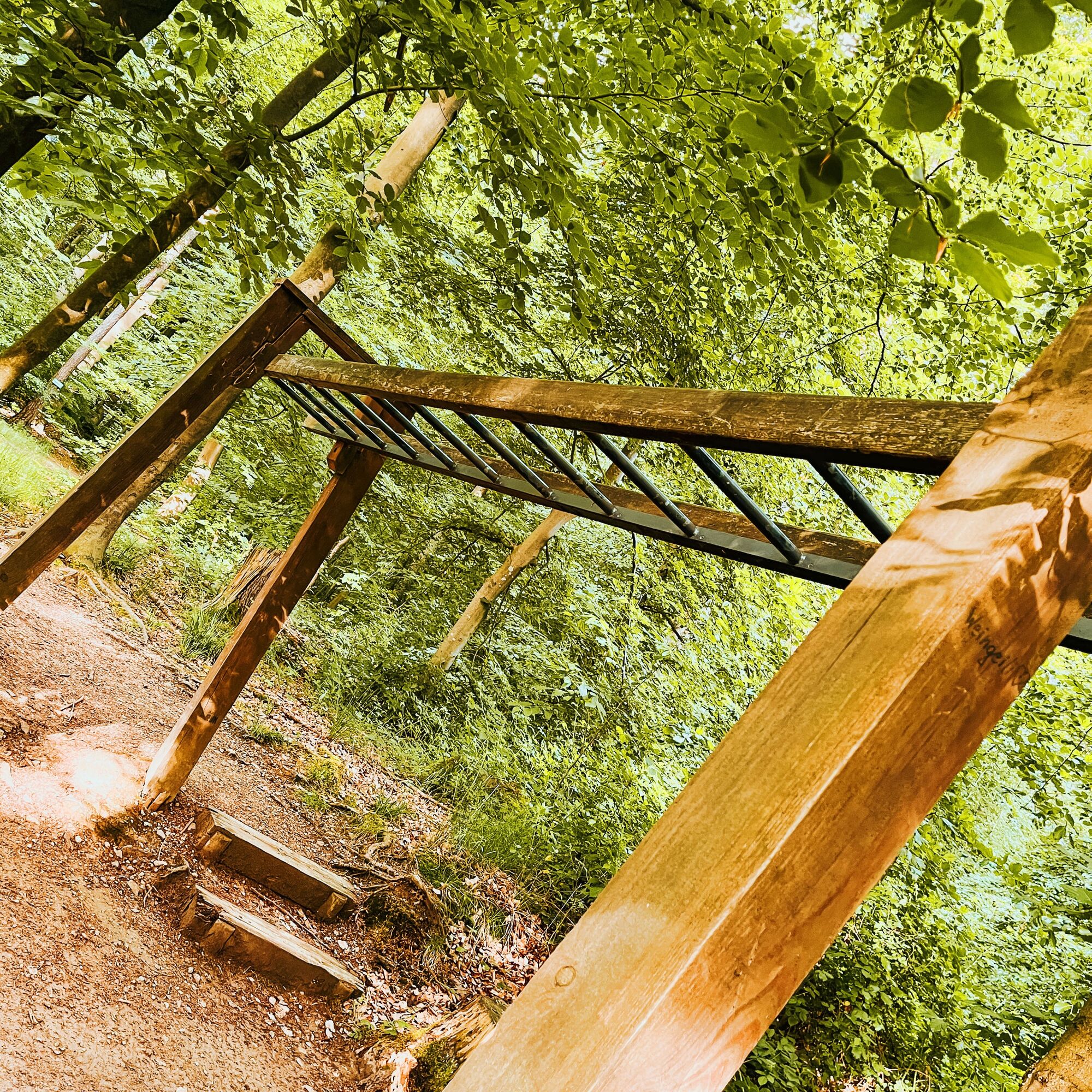
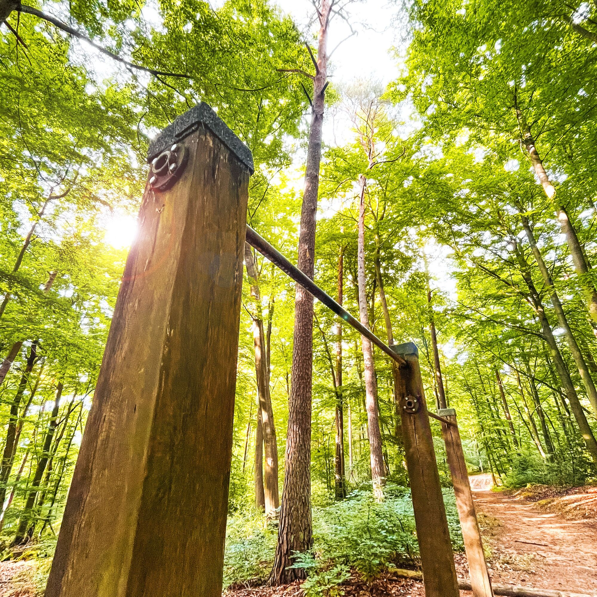
Unrestricted, outdoors, and according to your own performance level to improve your fitness and well-being – this is the appeal of training in the "Outdoor Fitness Gym." Because not maximum performance,...
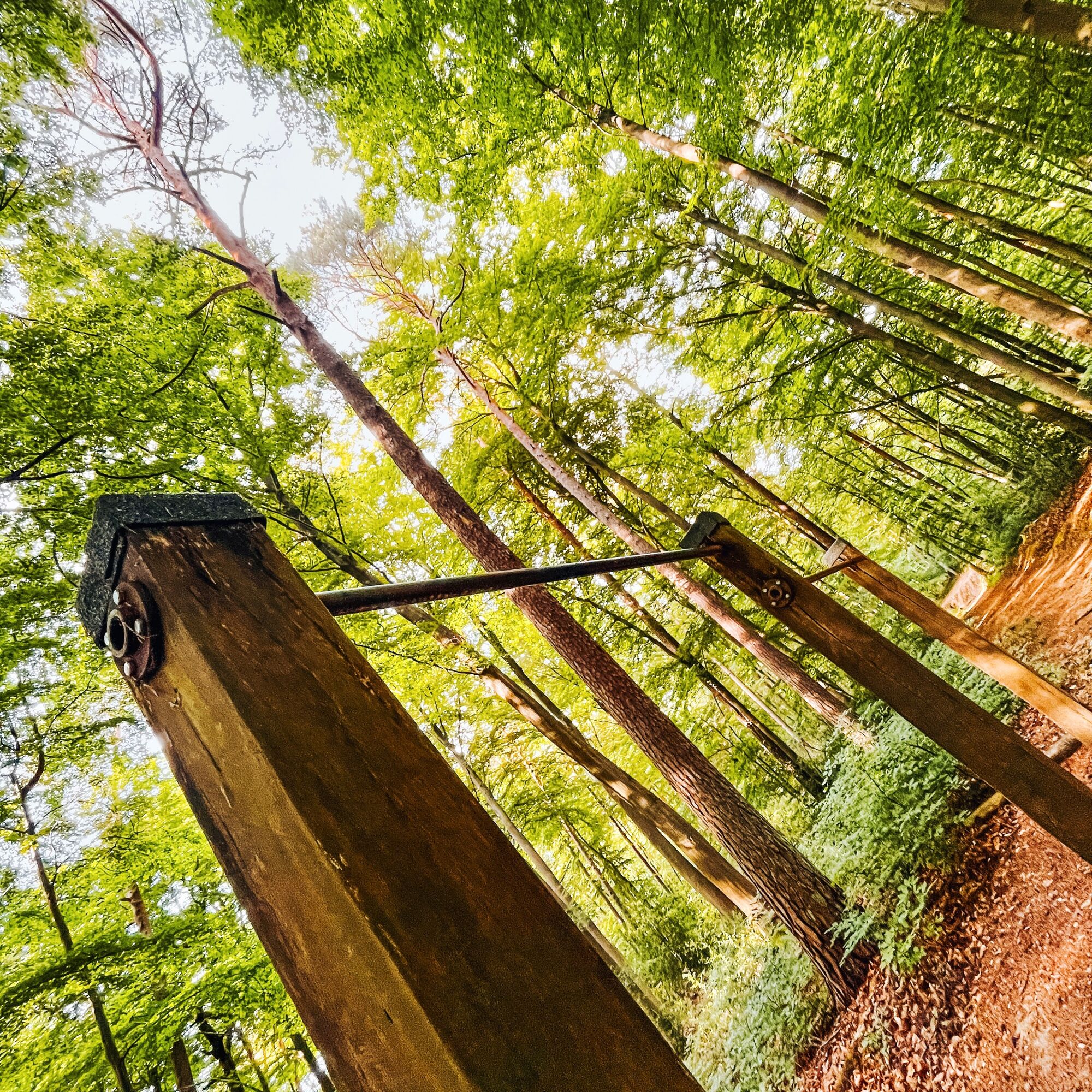
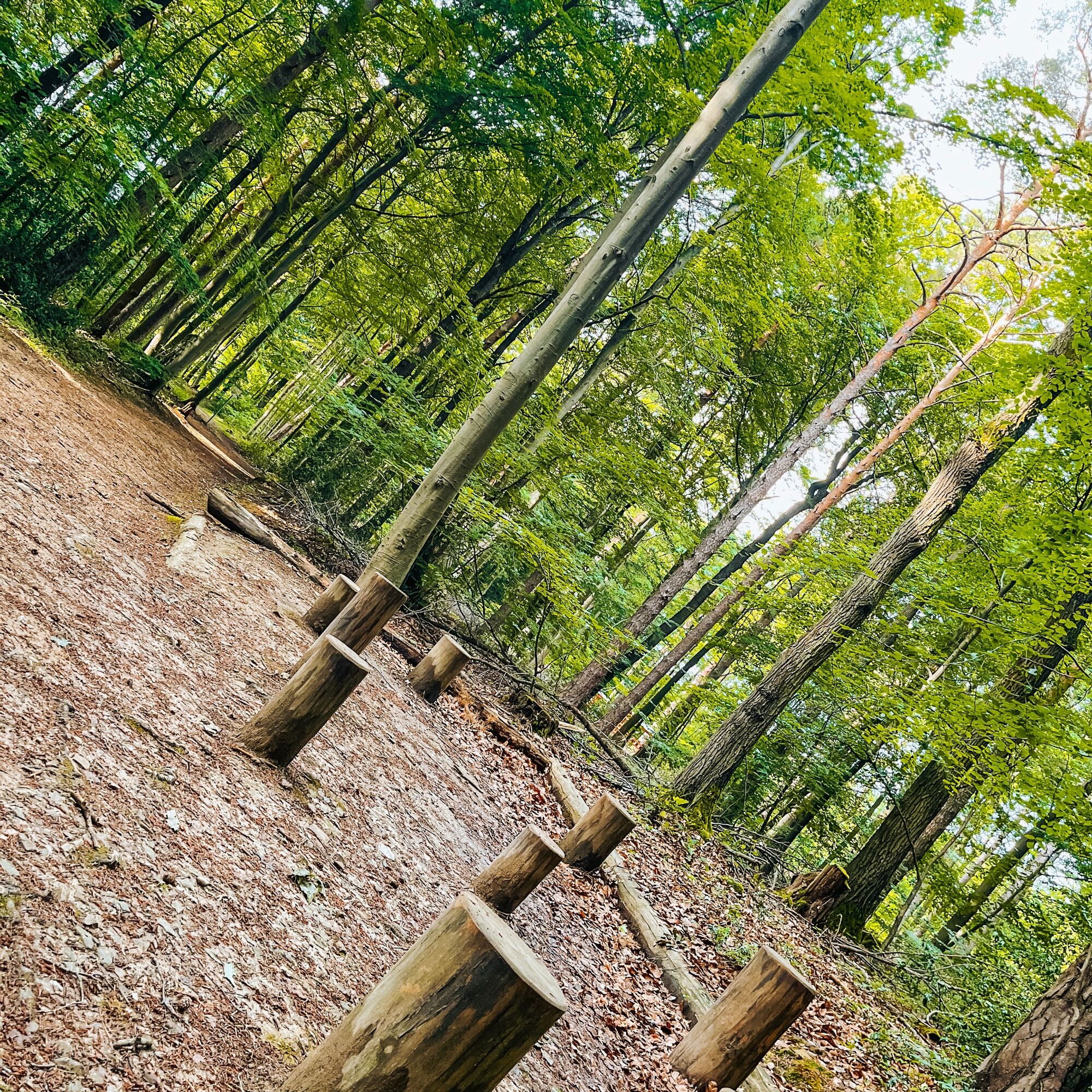
Unrestricted, outdoors, and according to your own performance level to improve your fitness and well-being – this is the appeal of training in the "Outdoor Fitness Gym." Because not maximum performance, but fun and joy of movement are the motivation here. For this purpose, pull-up bars, monkey bars, gymnastic rings, cable pulls, and other equipment offer ample opportunity. In combination with the elevation profile of the running route and the numerous other exercises, which often use your own body weight as training resistance, this results in a comprehensive program that promotes all muscle groups relevant for movement, the cardiovascular system, and the respiratory tract.

breathable clothing and appropriate sports shoes
A61 to the Bad Neuenahr-Ahrweiler motorway junction, then continue on the A573 to Bad Neuenahr.
By the Ahrtalbahn to Bad Neuenahr.
On weekdays:
Bus line 850 (direction Walporzheim) departs hourly from Bad Neuenahr station.
On weekends & public holidays:
Bus line 849 (direction Rheinbach or Ahrweiler) runs every half hour from Bad Neuenahr station. Travel time 11 minutes to Krankenhaus Maria Hilf stop. From there it is 1.2 km on foot.
Parking lot at the forest climbing park
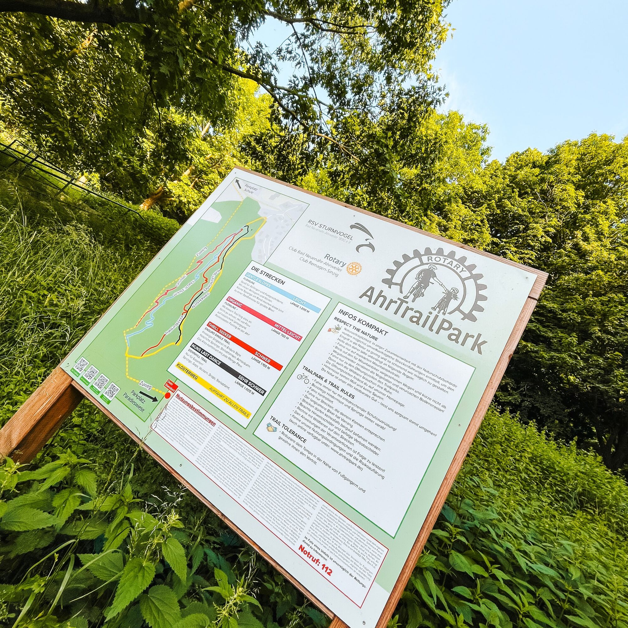
More information with instructions and videos at: https://www.das-heilbad.de/trimm-dich-pfad.html
Popularne wycieczki w okolicy
-
4,0
Teufelsloch-Höhenwanderung
średniWędrówka 7,44 km -
5,0
Round route Bad Neuenahr No. 5 - Through the Ramersbach Forest
średniWędrówka 9,31 km -
Weinwanderung Dernau nach Ahrweiler
Wędrówka 23,4 km -
4,7
Rundwanderung Rech / Steinerberg
średniWędrówka 14,2 km -
Burg Are - Engelsley Nord - Süd und im Tal zurück
ciężkiWycieczki górskie 3,63 km -
5,0
Leichte Rund-Wanderung Dernau / Mayschoß
światłoWędrówka 5,46 km -
3,5
Rund um die Safenburg
światłoWędrówka 8,10 km -
Kasbachtal
światłoWędrówka 10,2 km -
5,0
Rund um Mayschoß und Altenahr
średniWędrówka 17,3 km -
5,0
AhrSteig Etappe 5: Kreuzberg-Walporzheim
długodystansowy szlak pieszy 14,6 km

Wędrówki i tropienie


Nie przegap ofert i inspiracji na następne wakacje
Twój adres e-mail została dodana do listy mailingowej.