



Star route around Trier - Route 3: Circular route on the Moselle and Saar Cycle Paths via Saarburg to Trier

Poziom trudności: 1
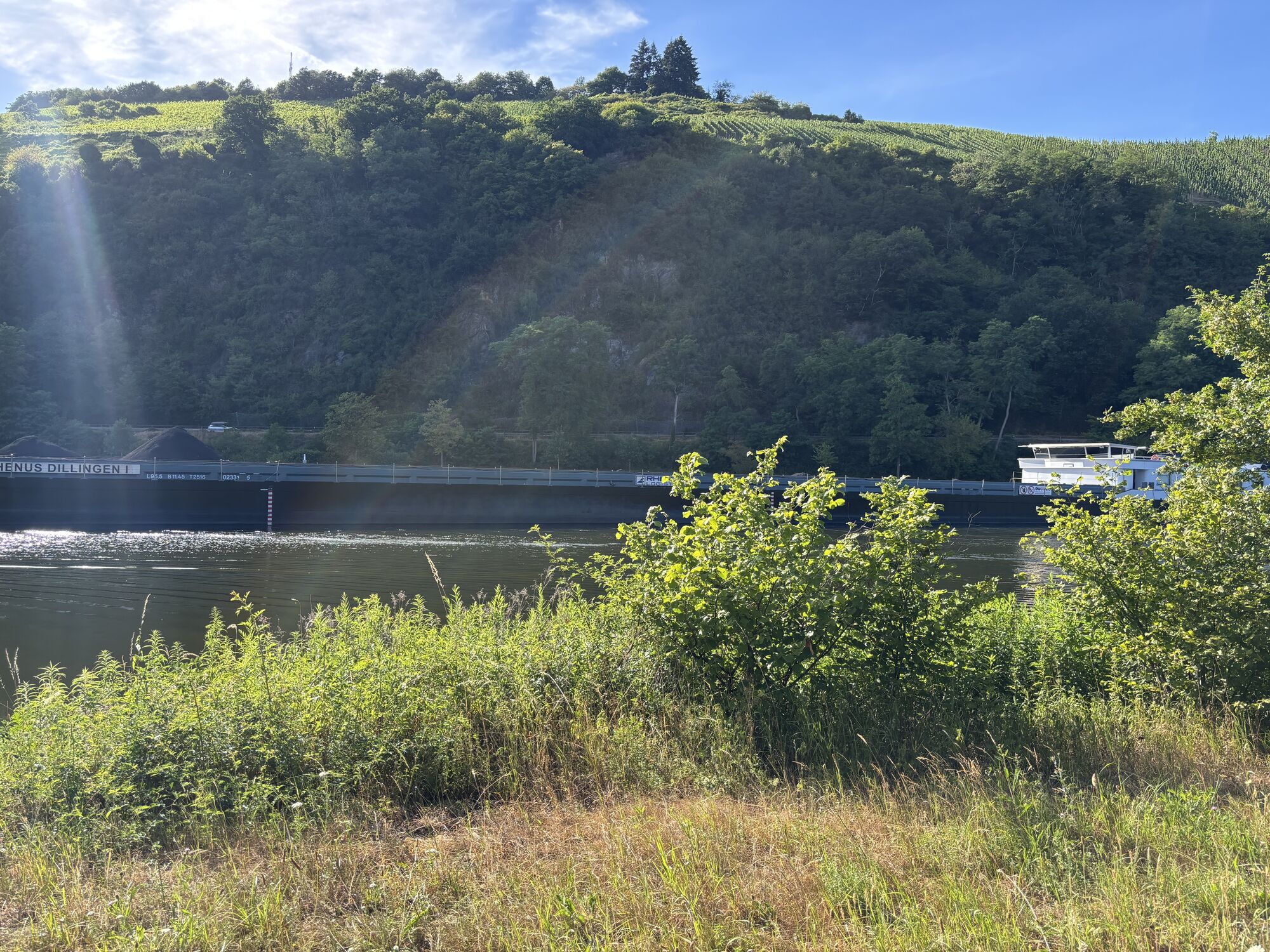
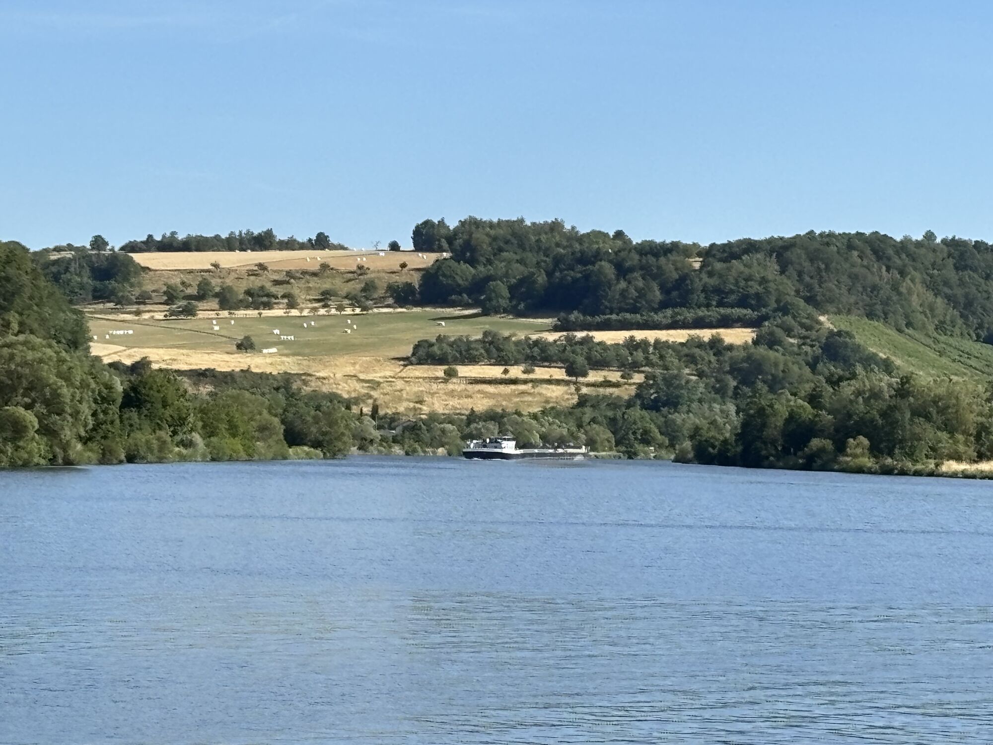

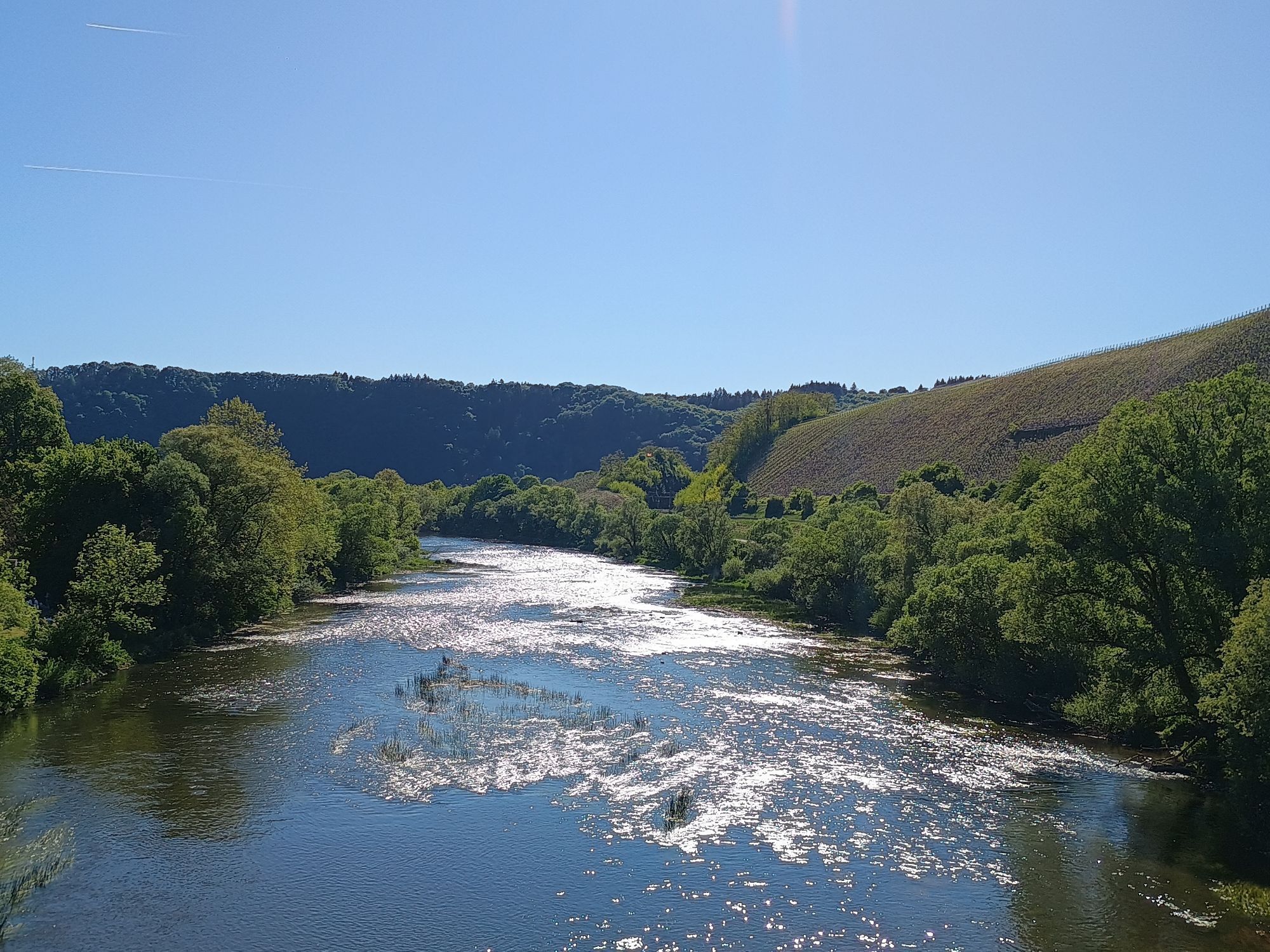
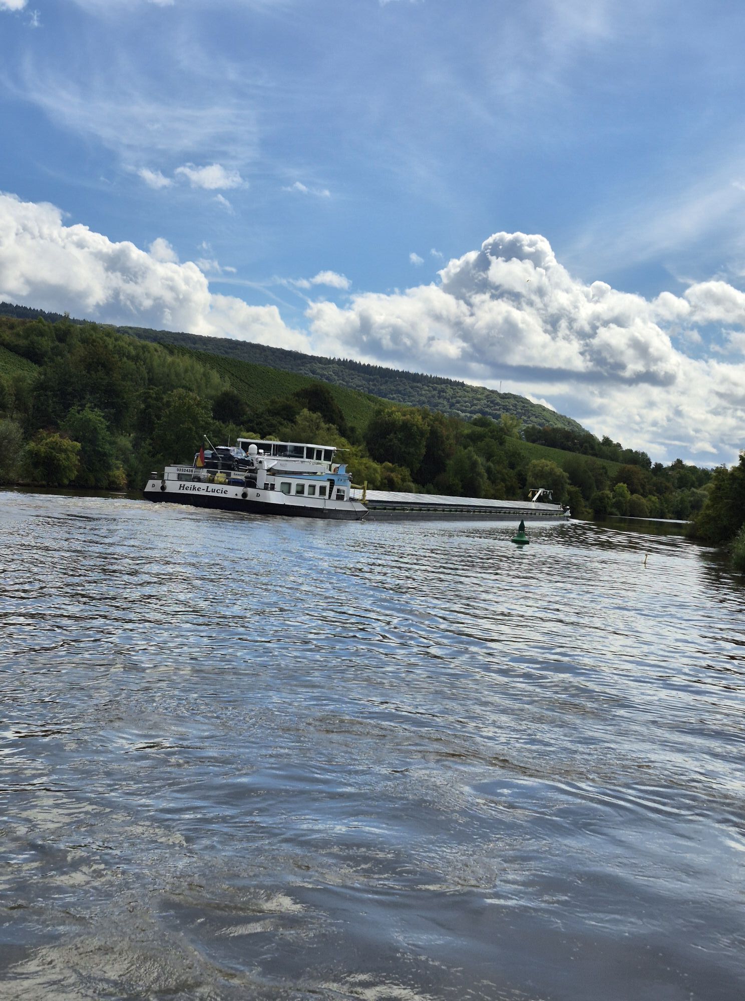
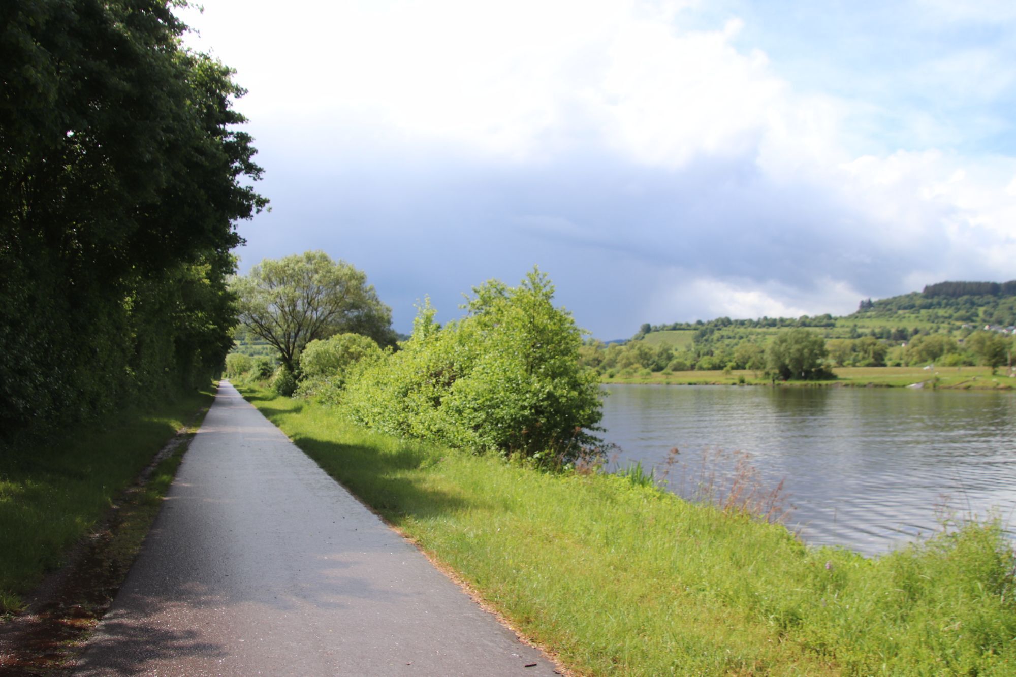
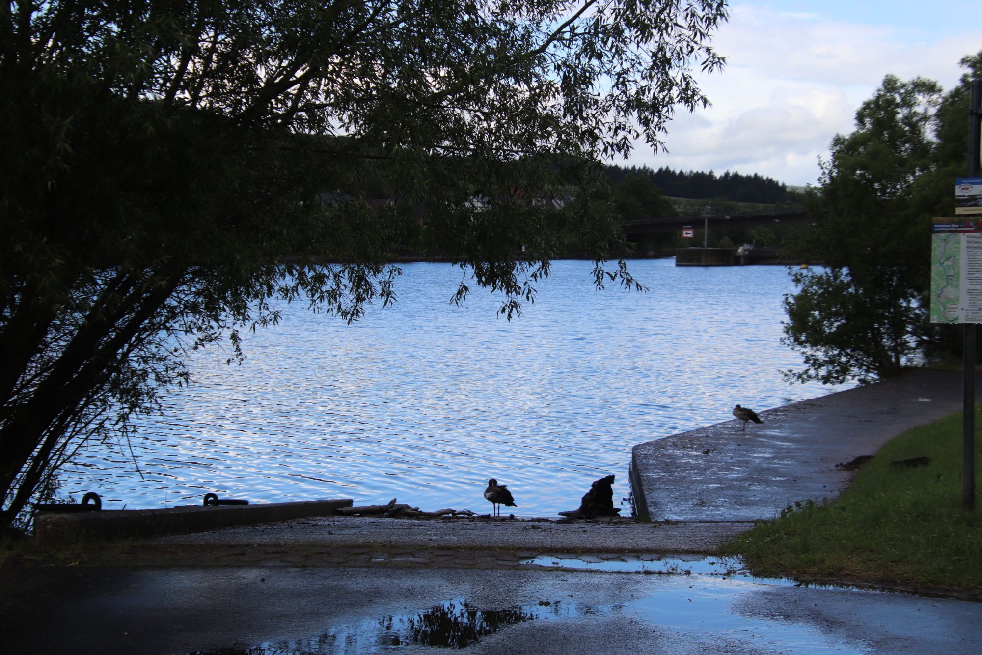
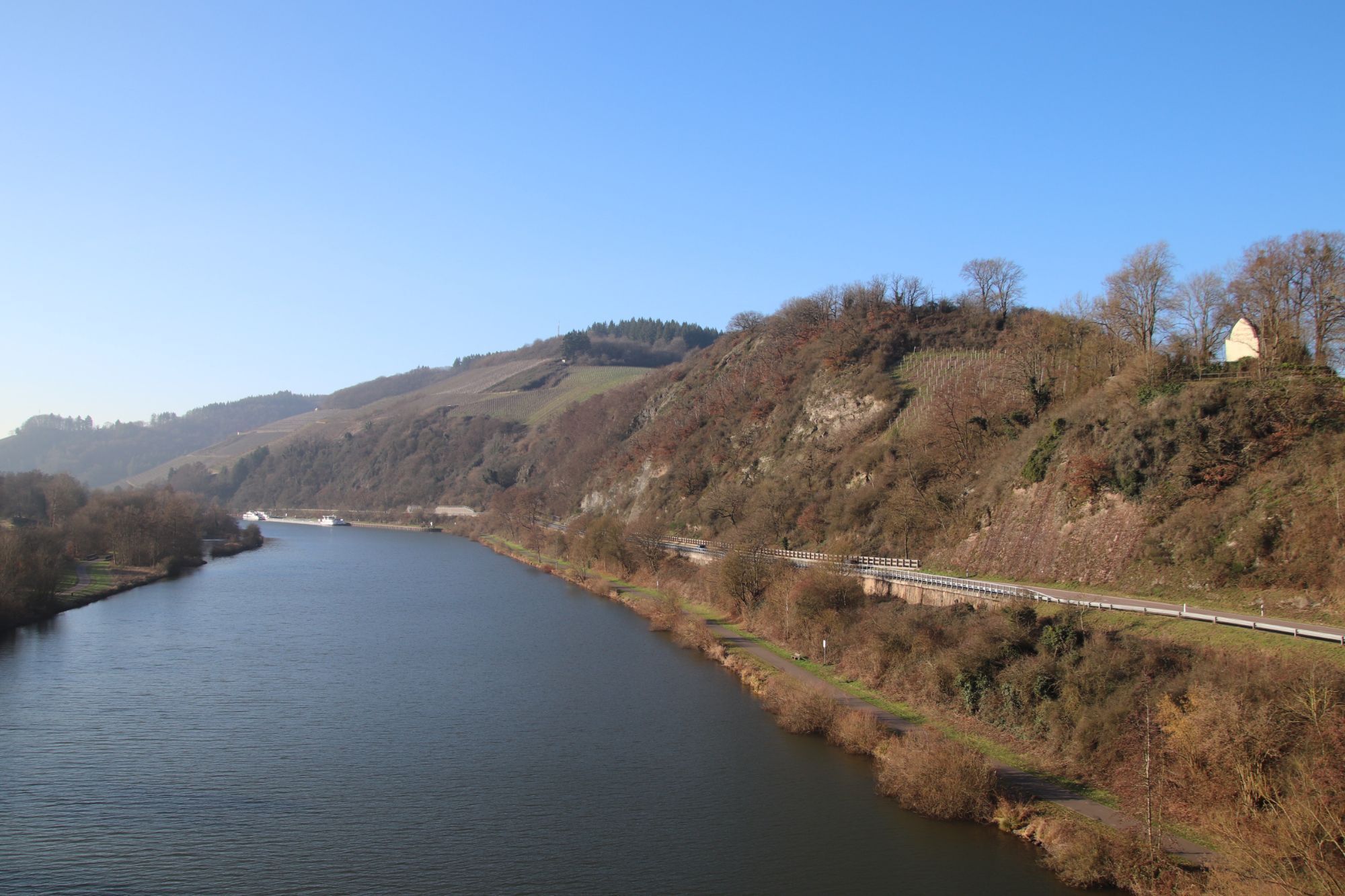
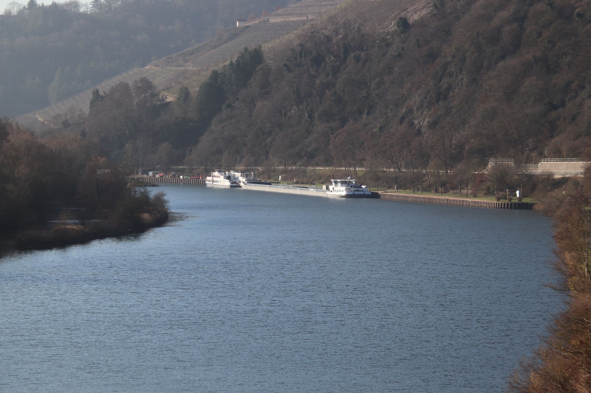
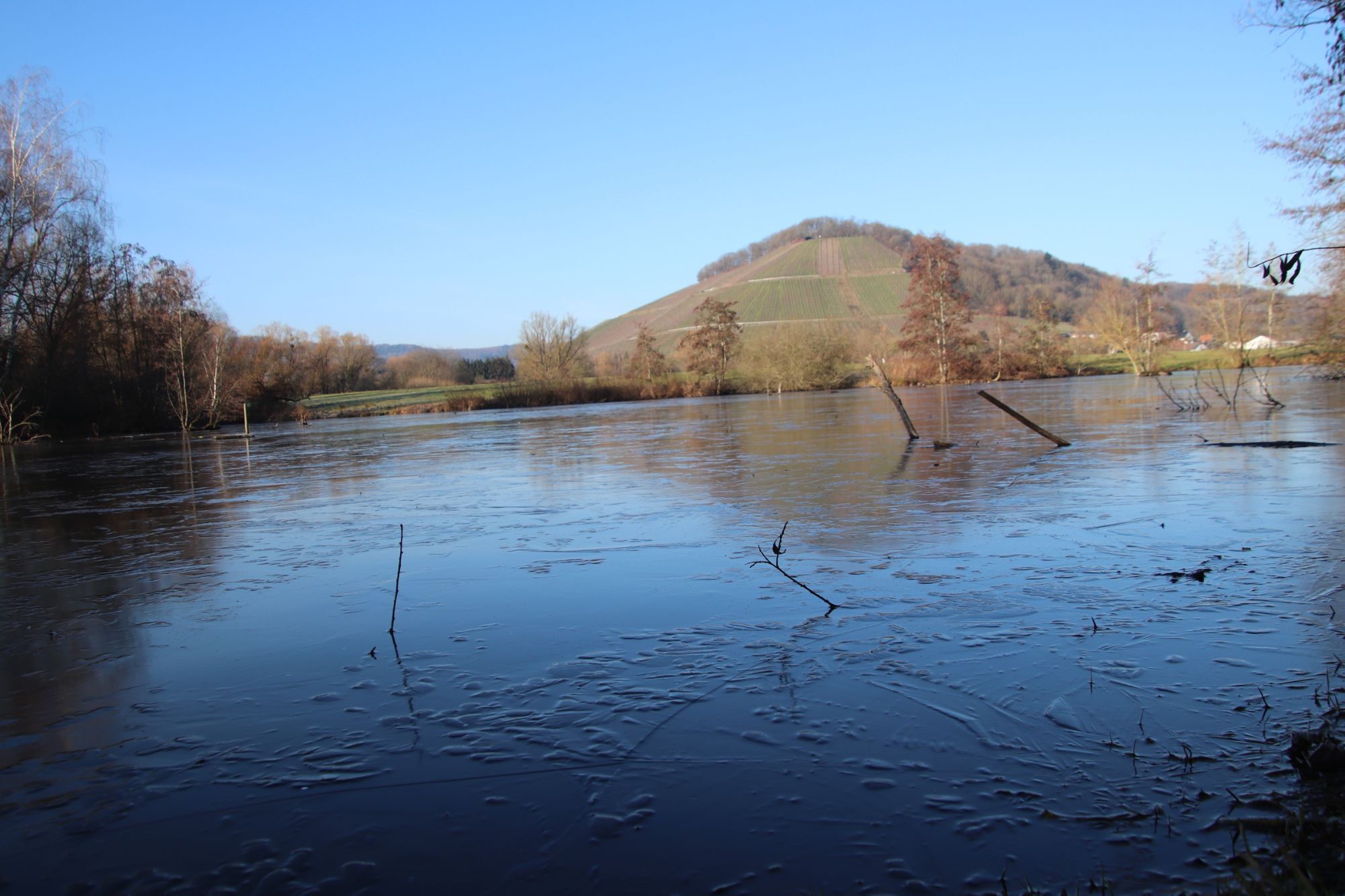
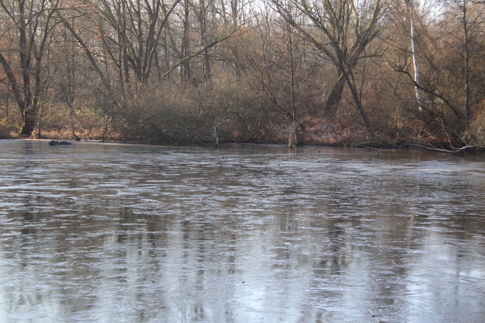
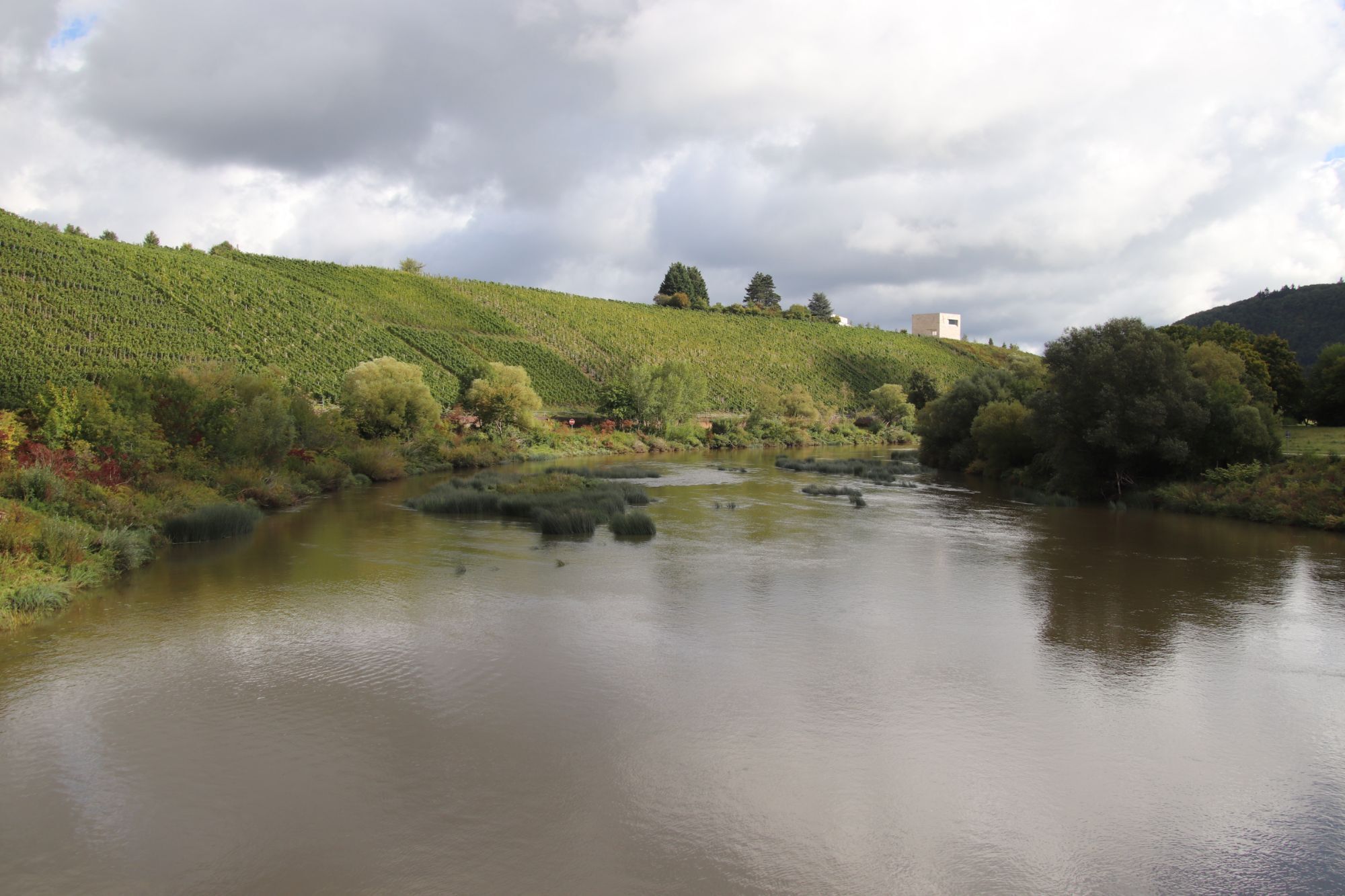
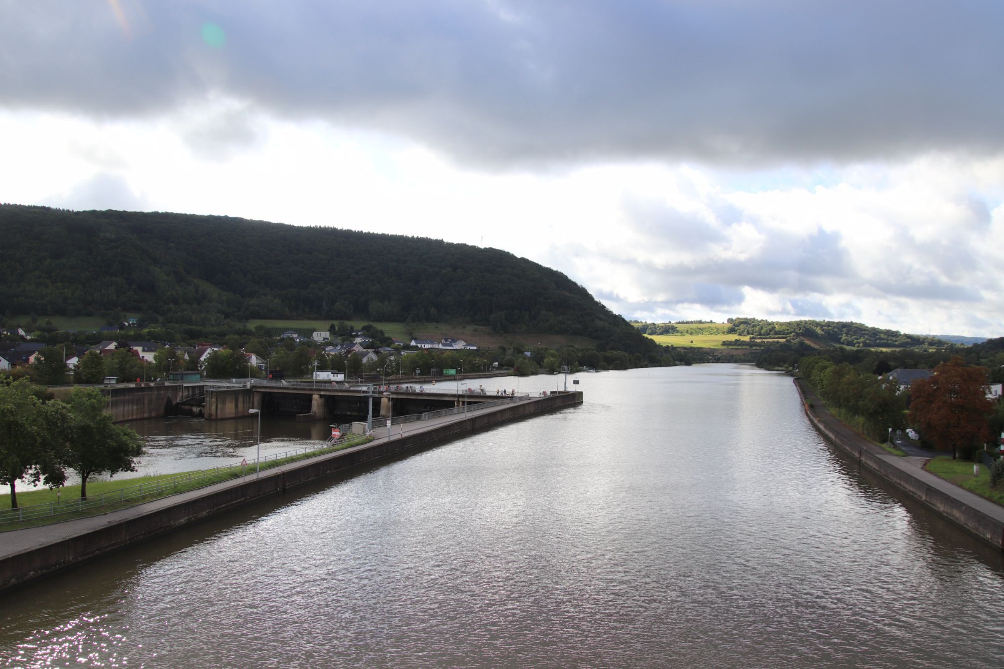
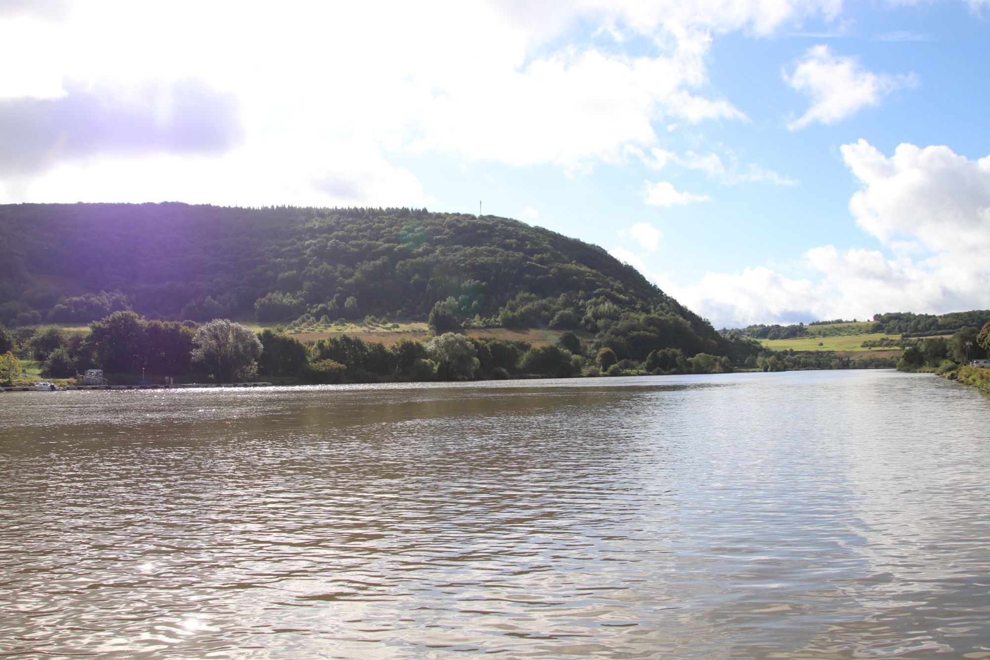
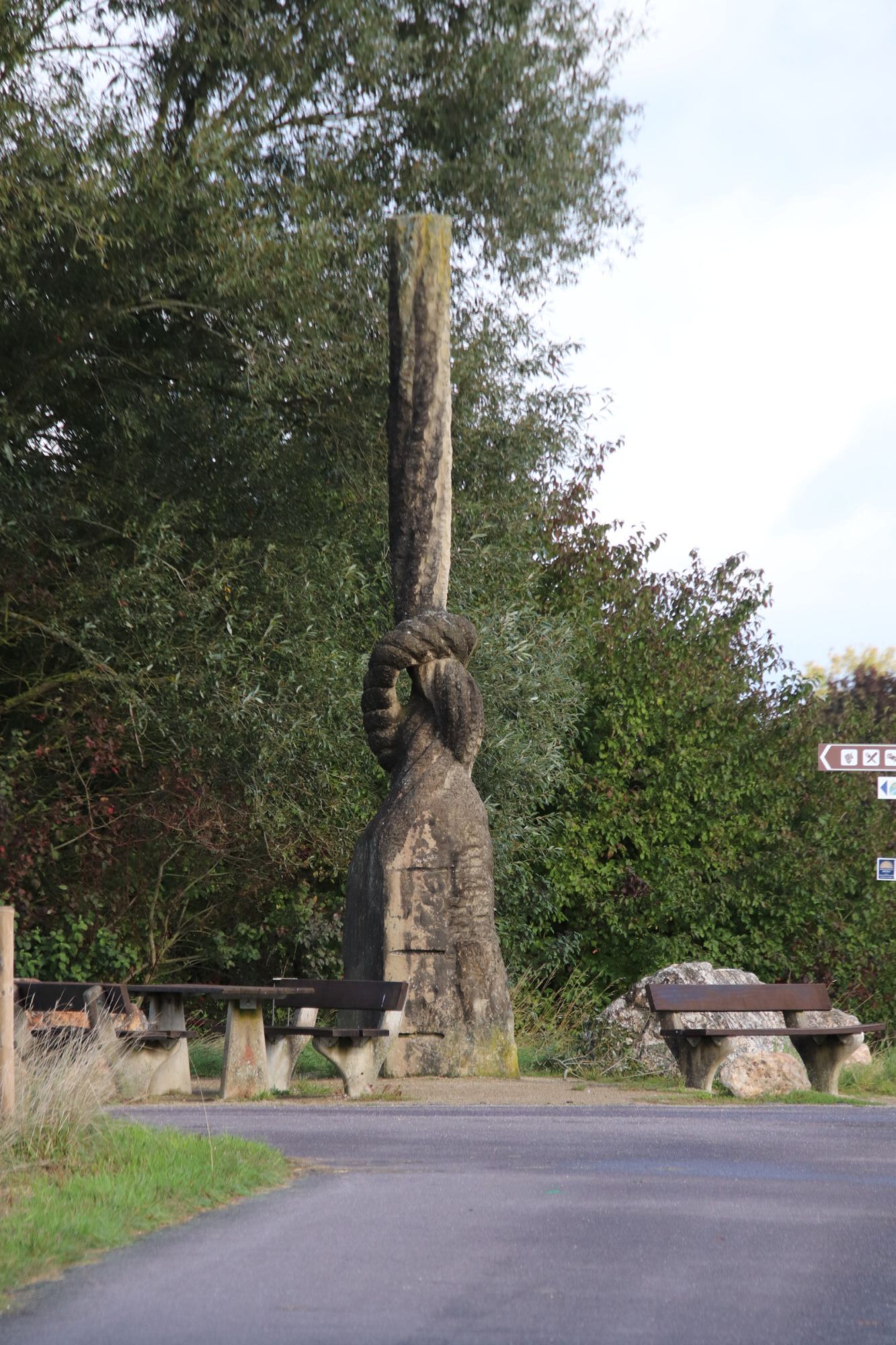
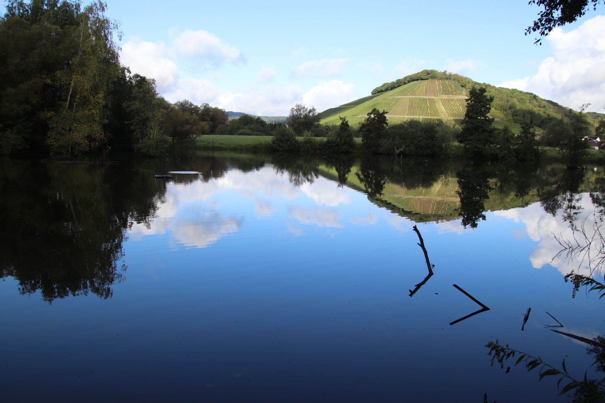
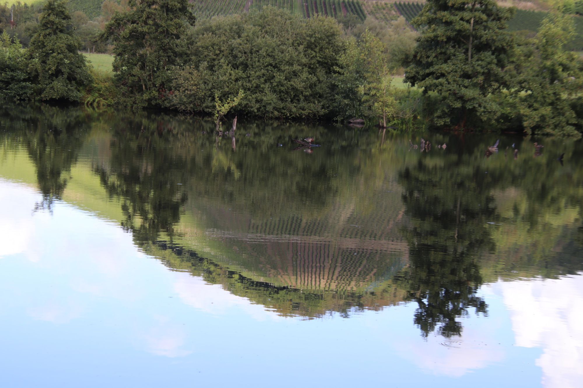
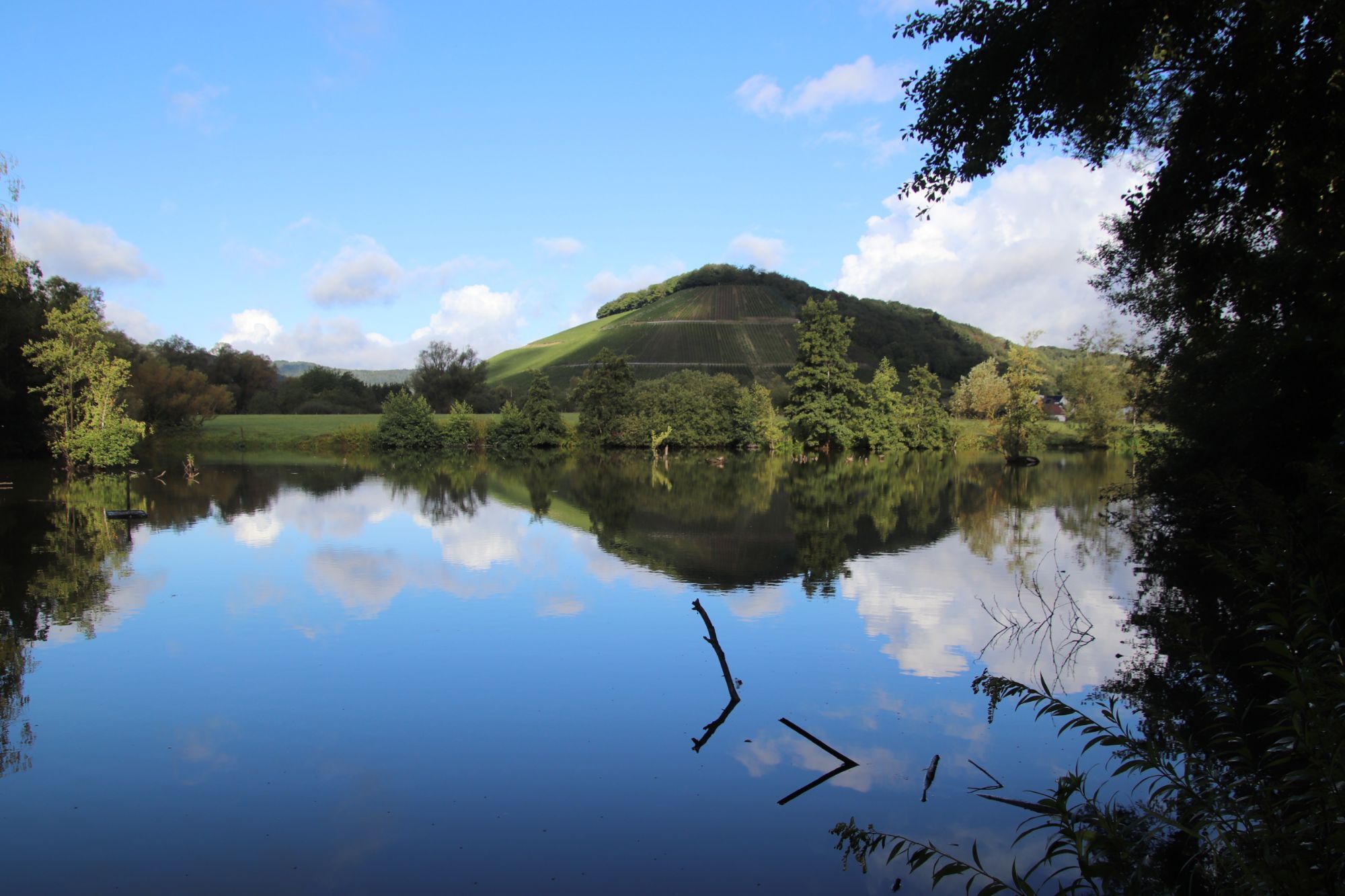
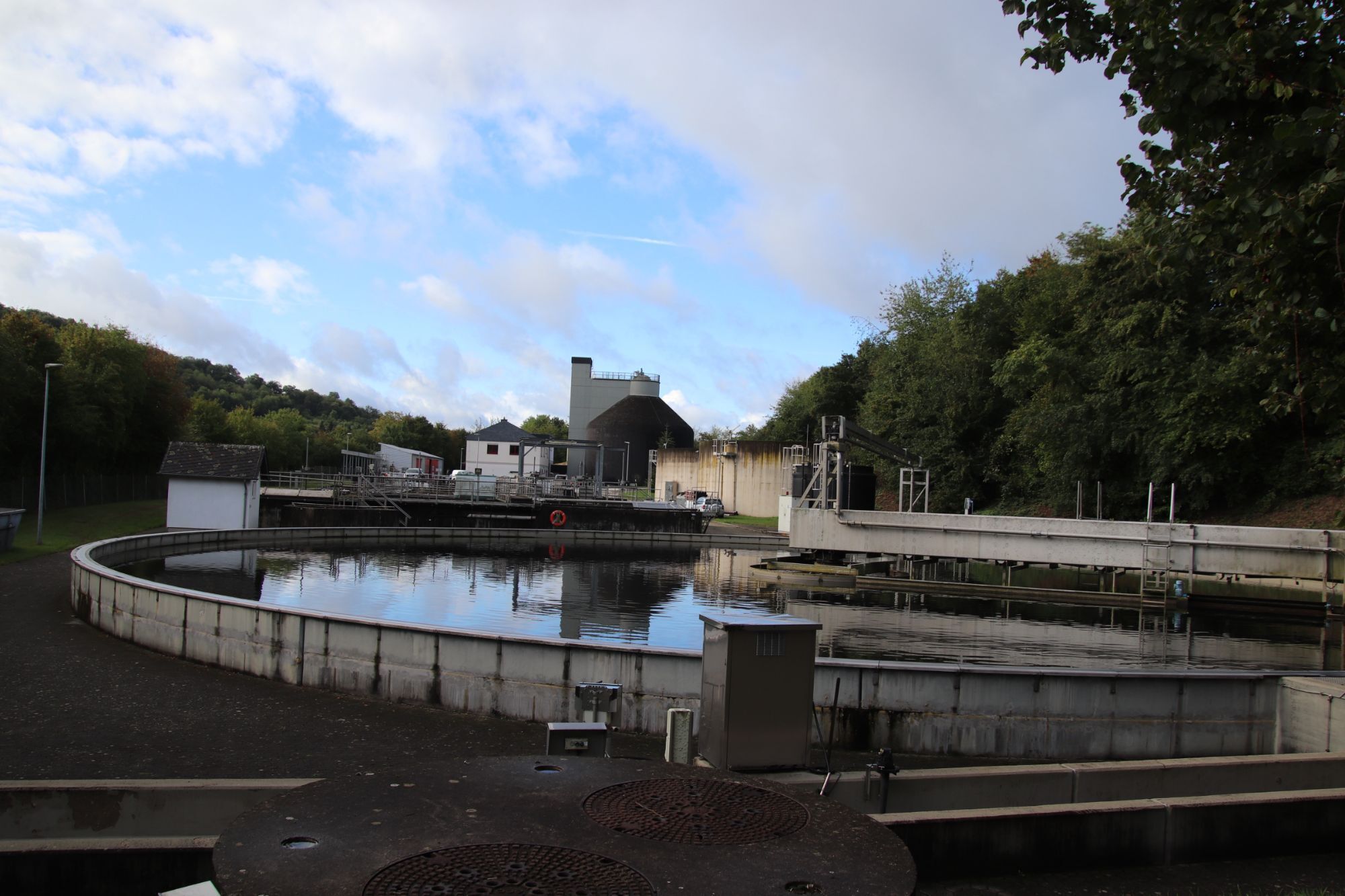
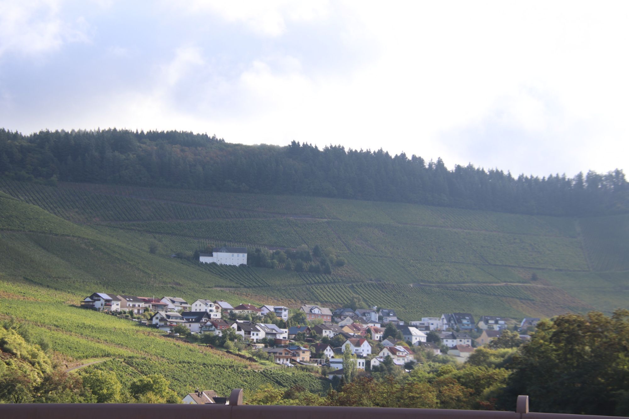
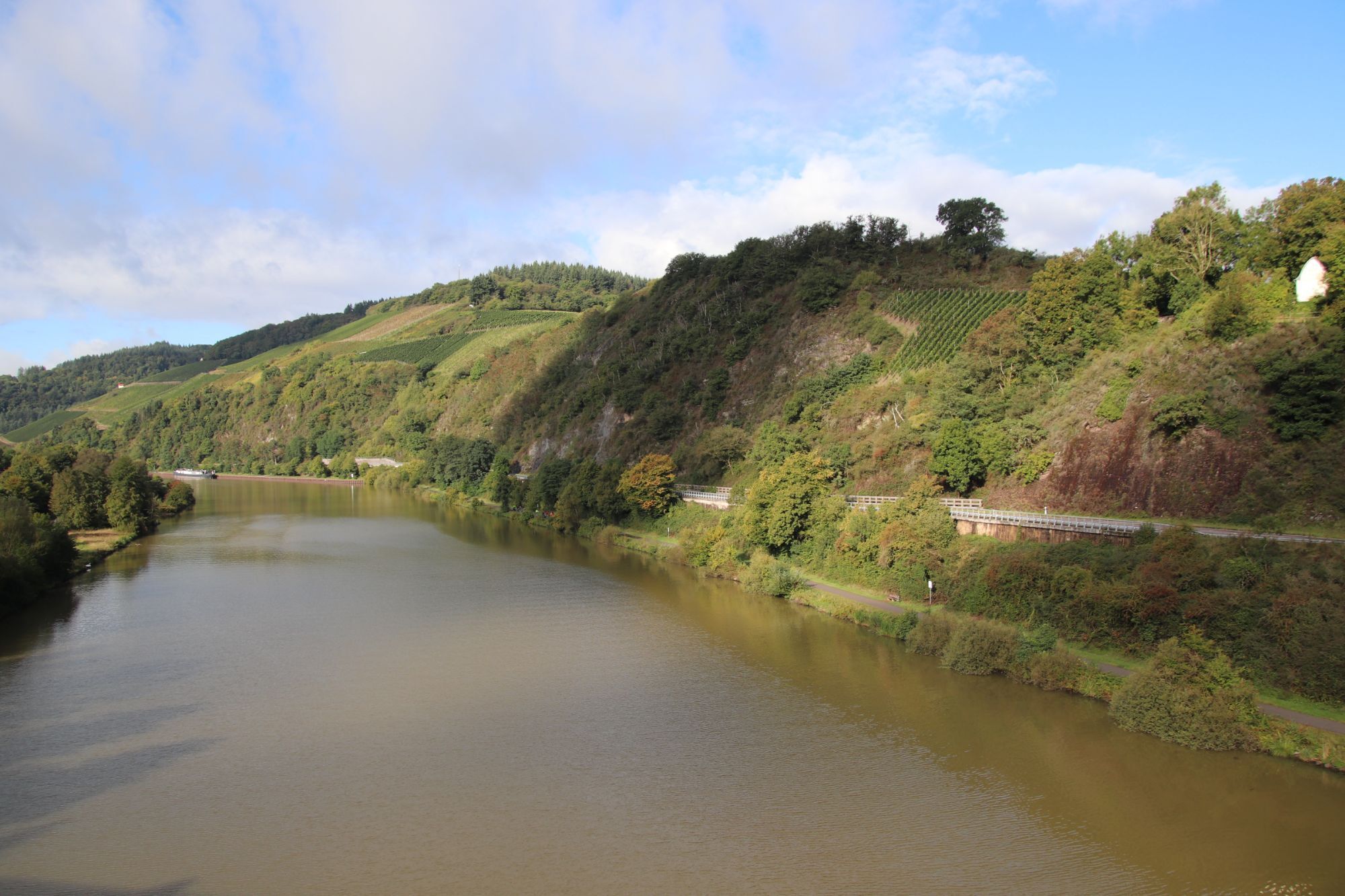
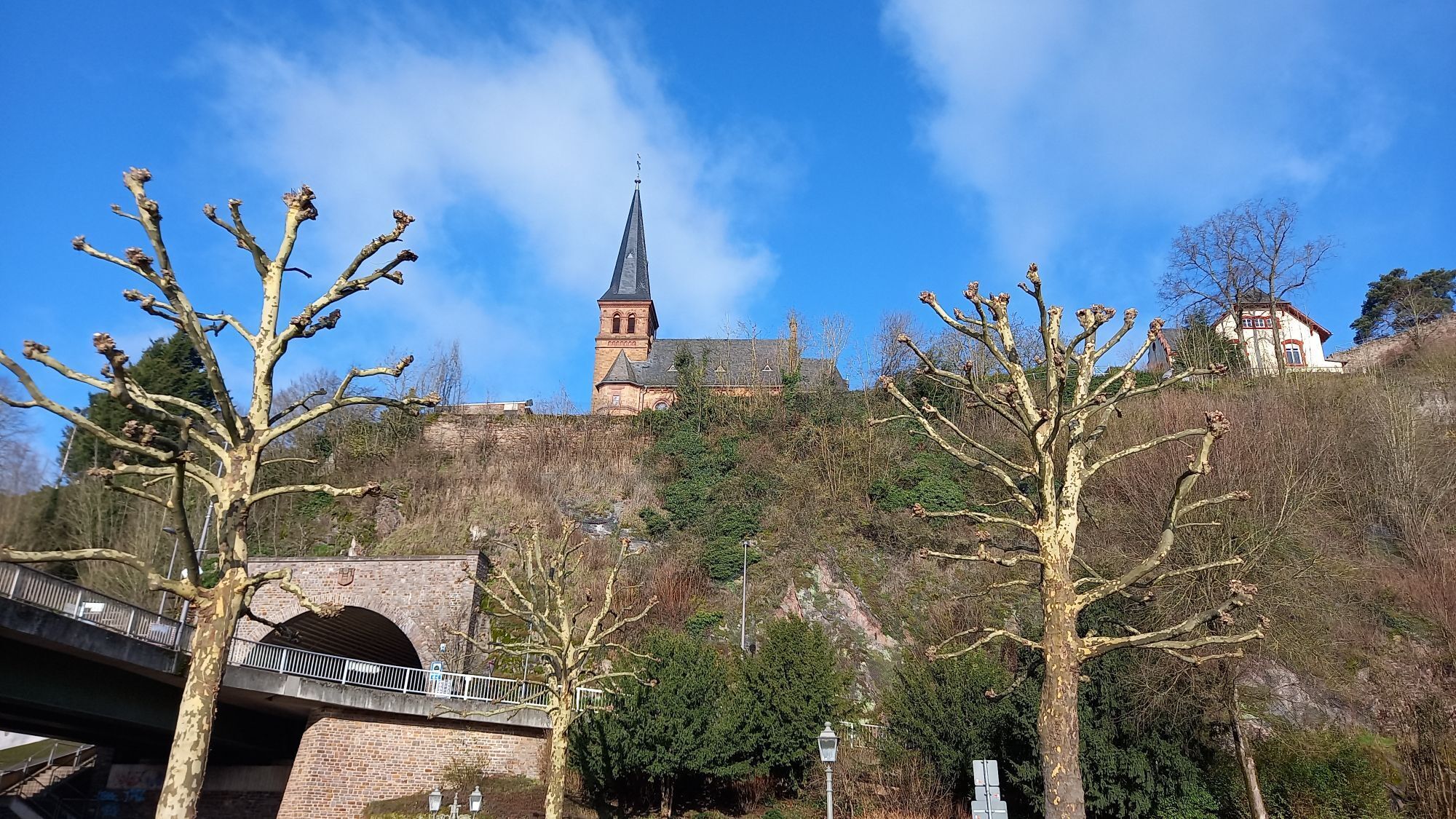
You start your bike ride on the Moselle riverbank in Trier and first ride upstream on the Moselle Cycle Path to Konz. Here you switch to the Saar Cycle Path and follow the natural river course embedded...
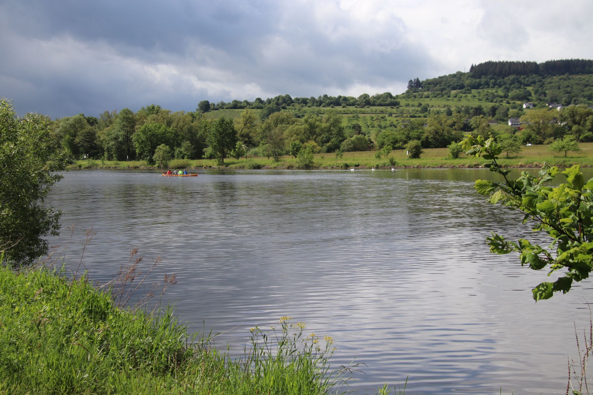
You start your bike ride on the Moselle riverbank in Trier and first ride upstream on the Moselle Cycle Path to Konz. Here you switch to the Saar Cycle Path and follow the natural river course embedded in vineyards on the right riverbank to Kanzem. In Schoden, you reach the river fork, which - together with the dam - was created as part of the Saar expansion into a major shipping route.
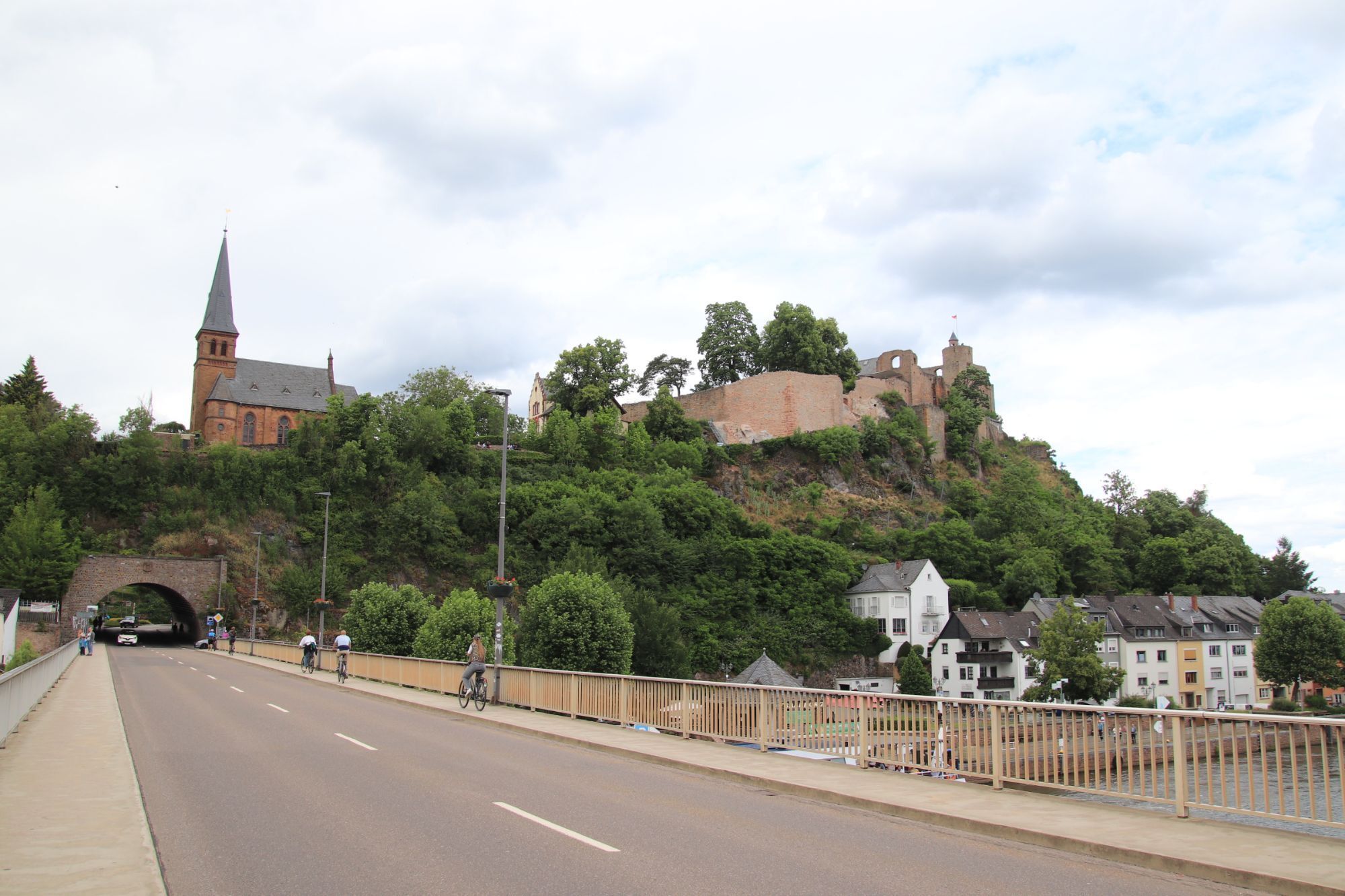
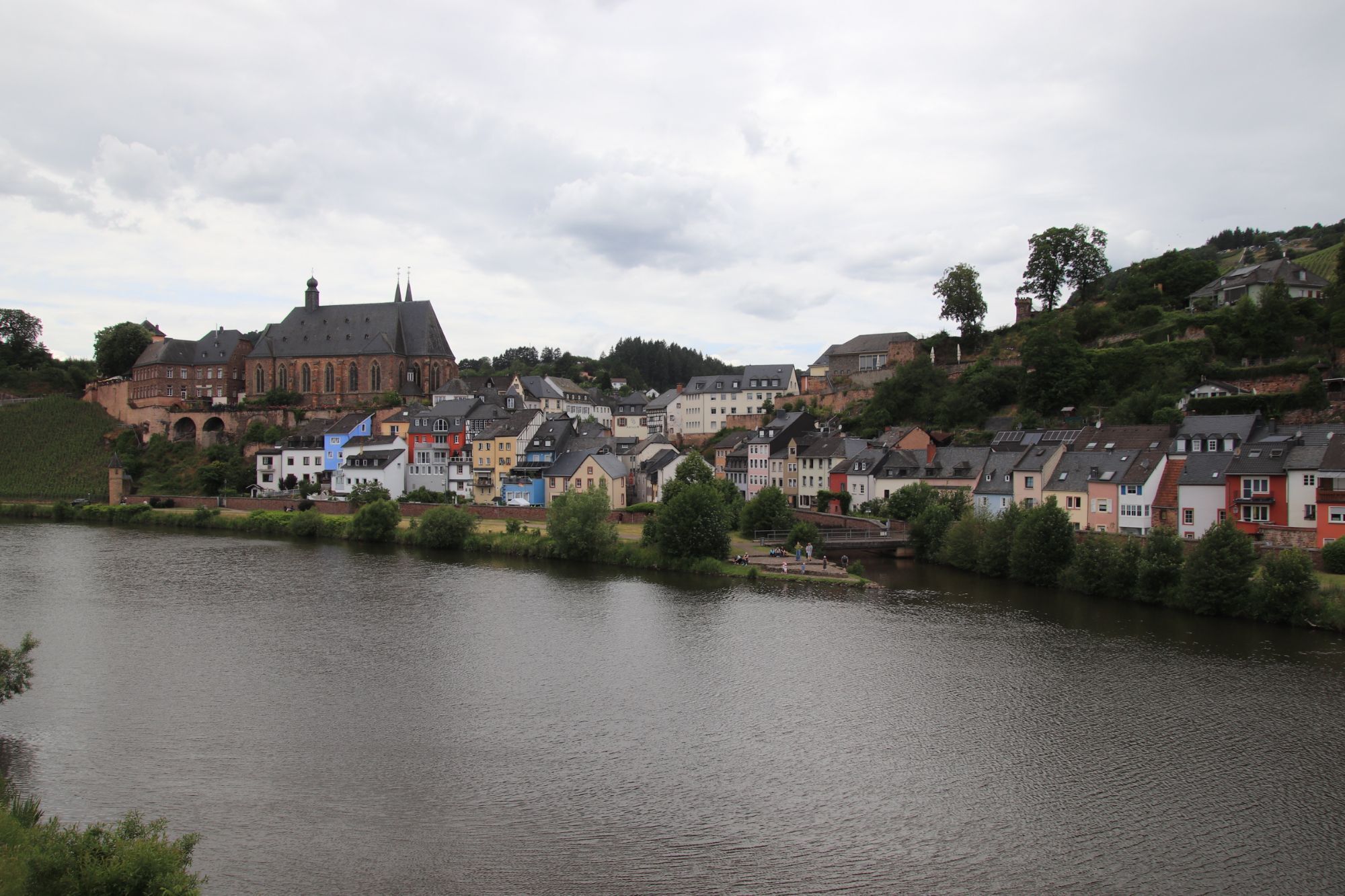
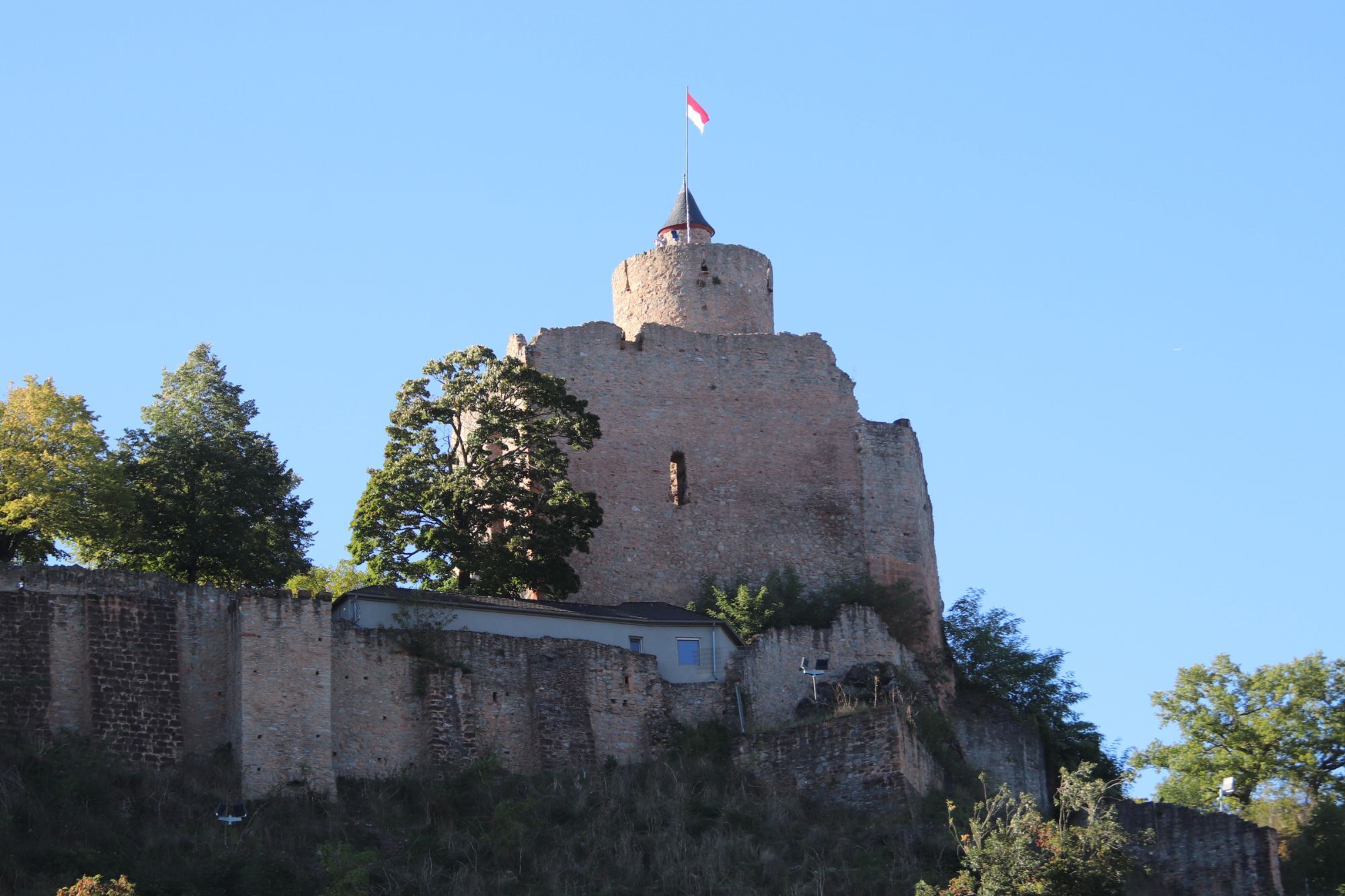
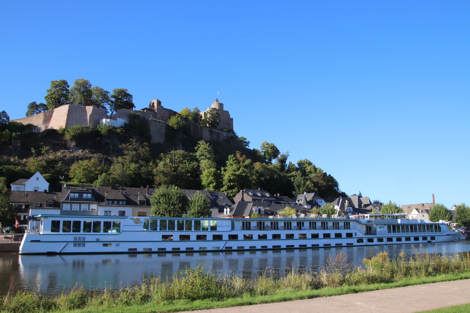
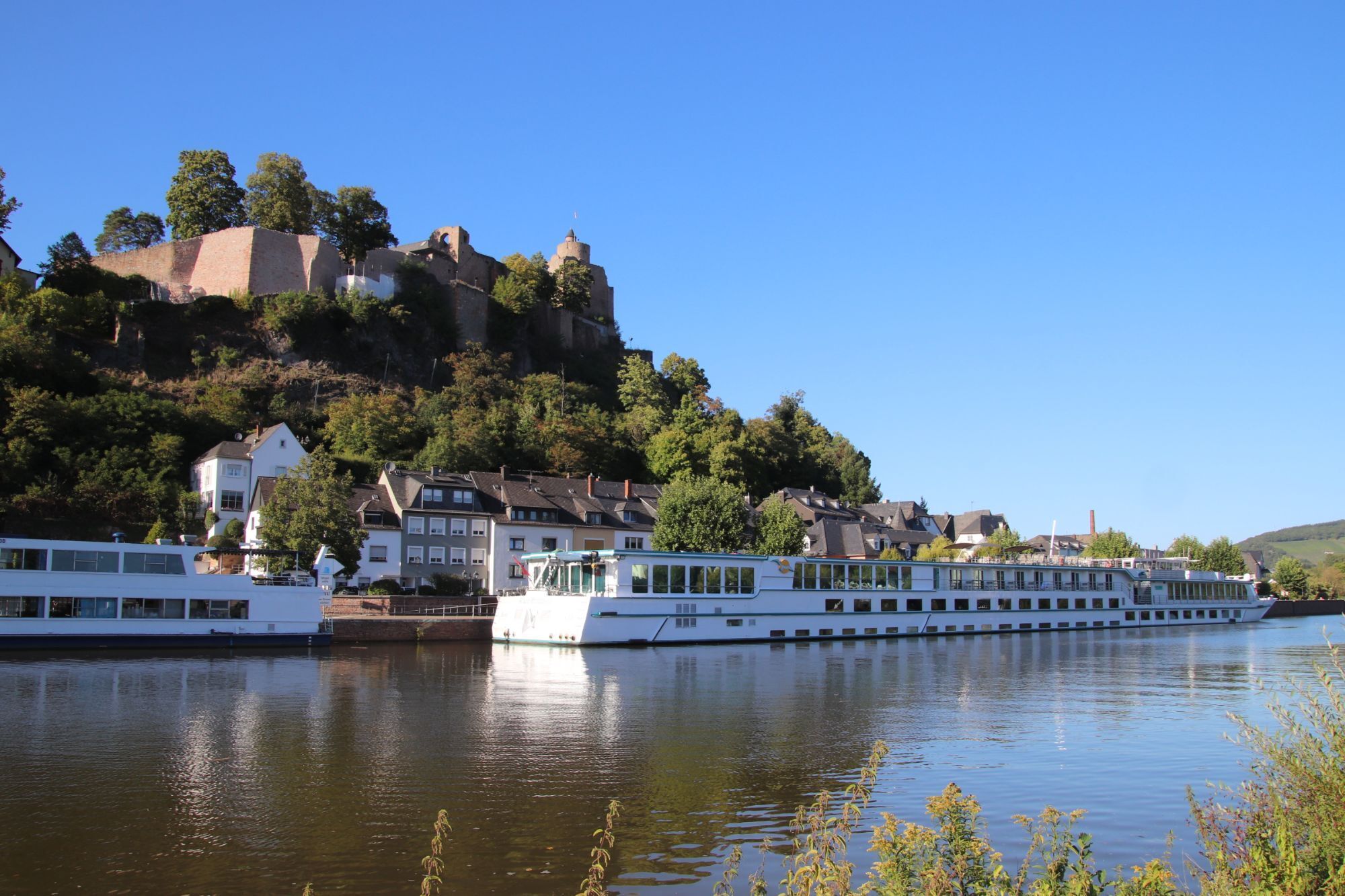
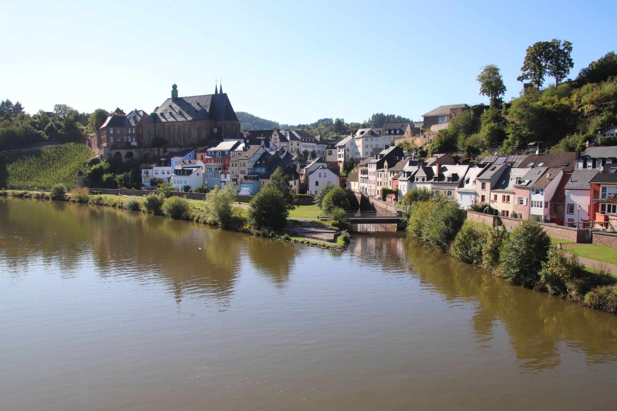
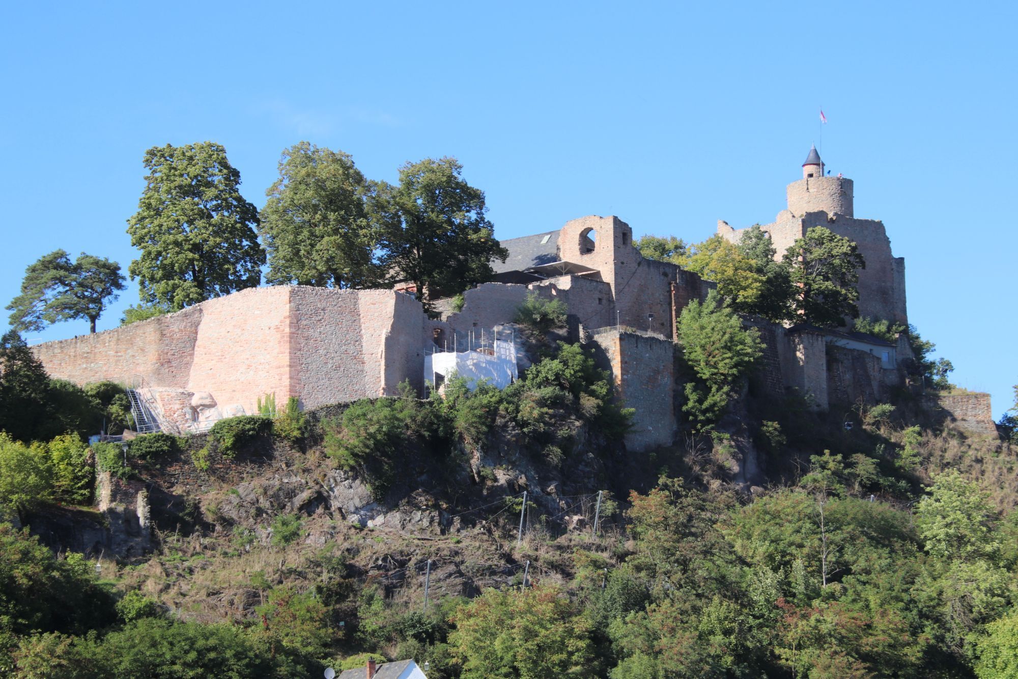
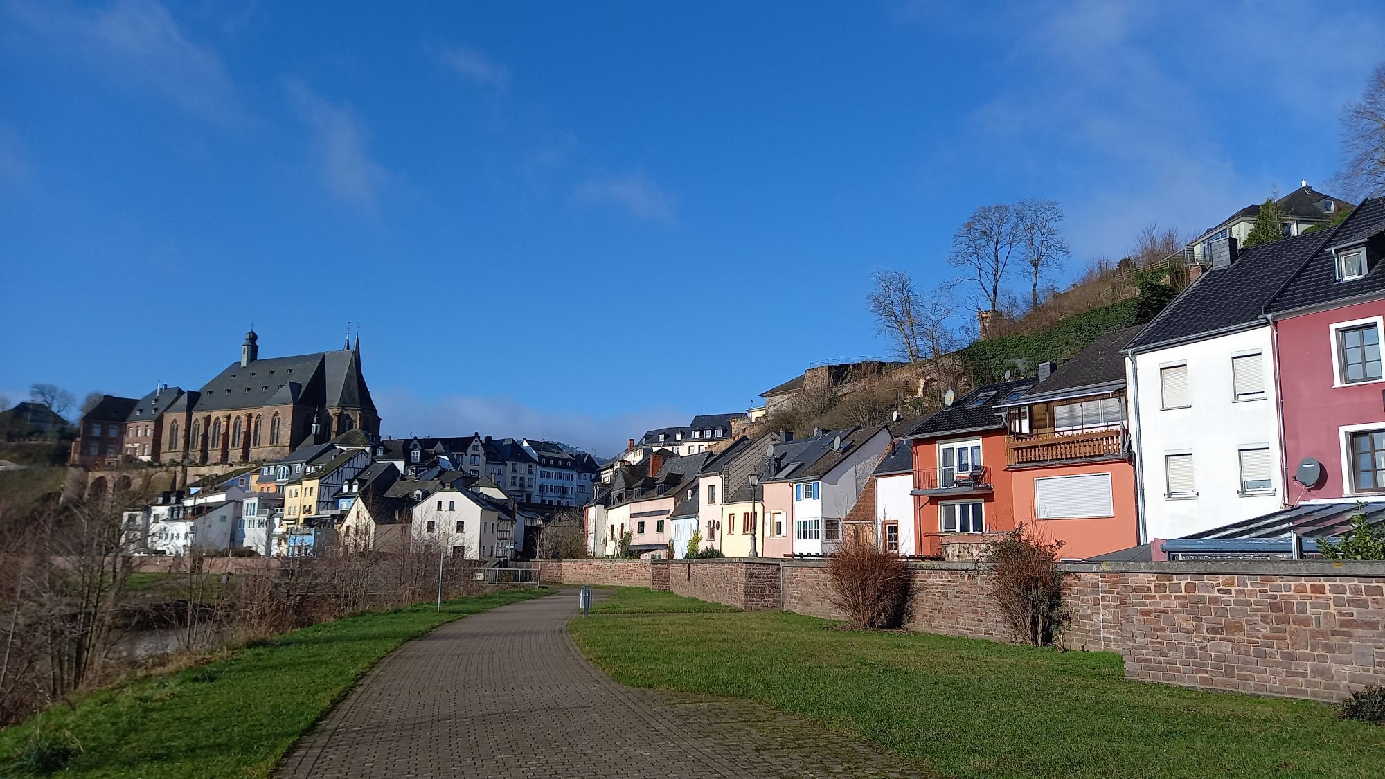
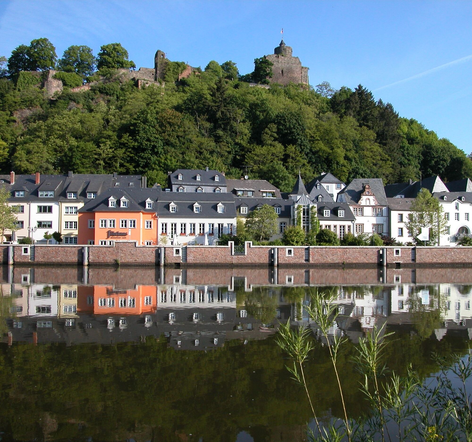
From Schoden, it continues to Saarburg. The idyllic small town impresses with its eponymous ruin as well as the romantic old town with its marketplace and mill museum. A special attraction is the 20 m high Leukbach waterfall in the middle of the town, which cascades down between half-timbered houses and baroque buildings and drives the mill wheels of the former Hachenberg mill.
After a stopover, you follow the Saar Cycle Path on the left riverbank, along the Saar Canal, back towards your starting point. In Konz, the former summer residence of Emperor Valentinian, you cross the Saar shortly before its confluence with the Moselle to get back on the Moselle Cycle Path that leads you back to the Roman city of Trier.

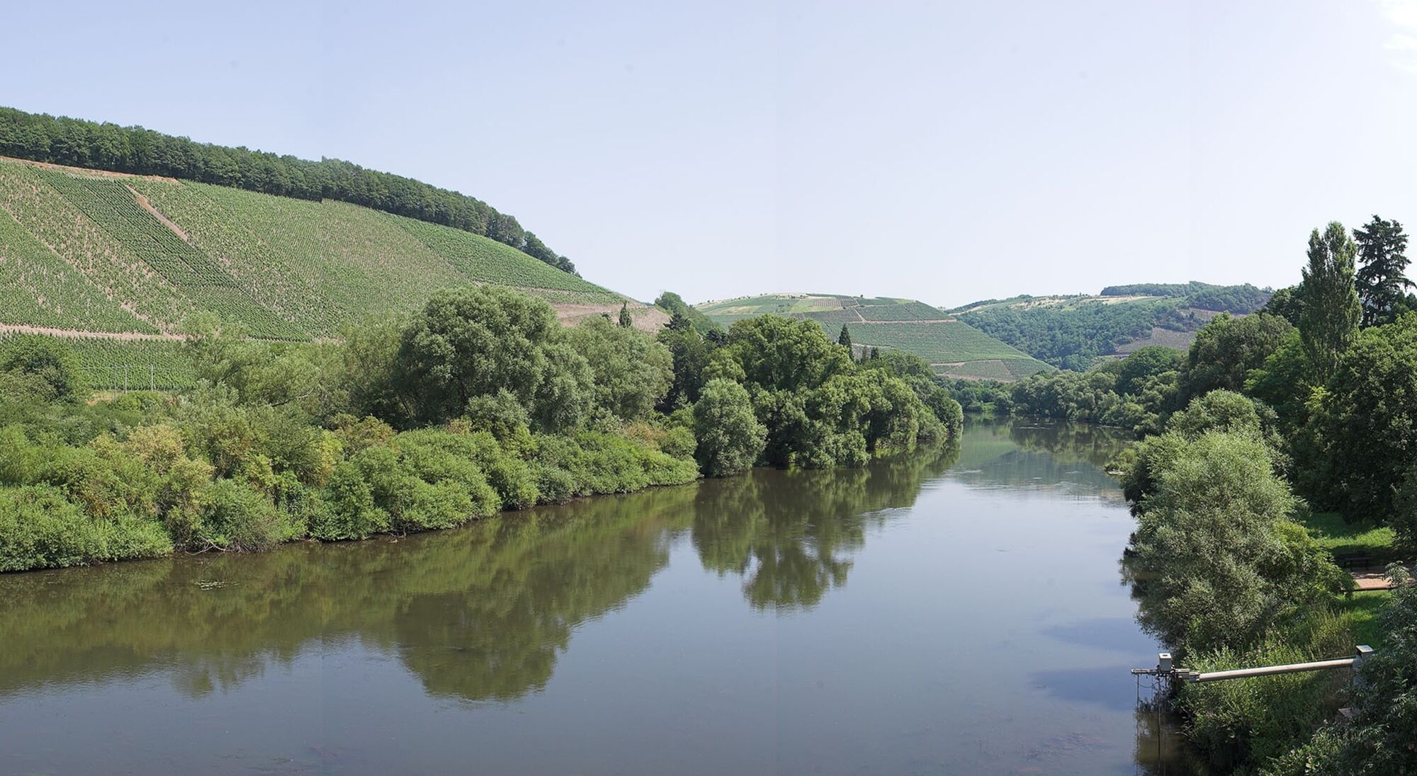
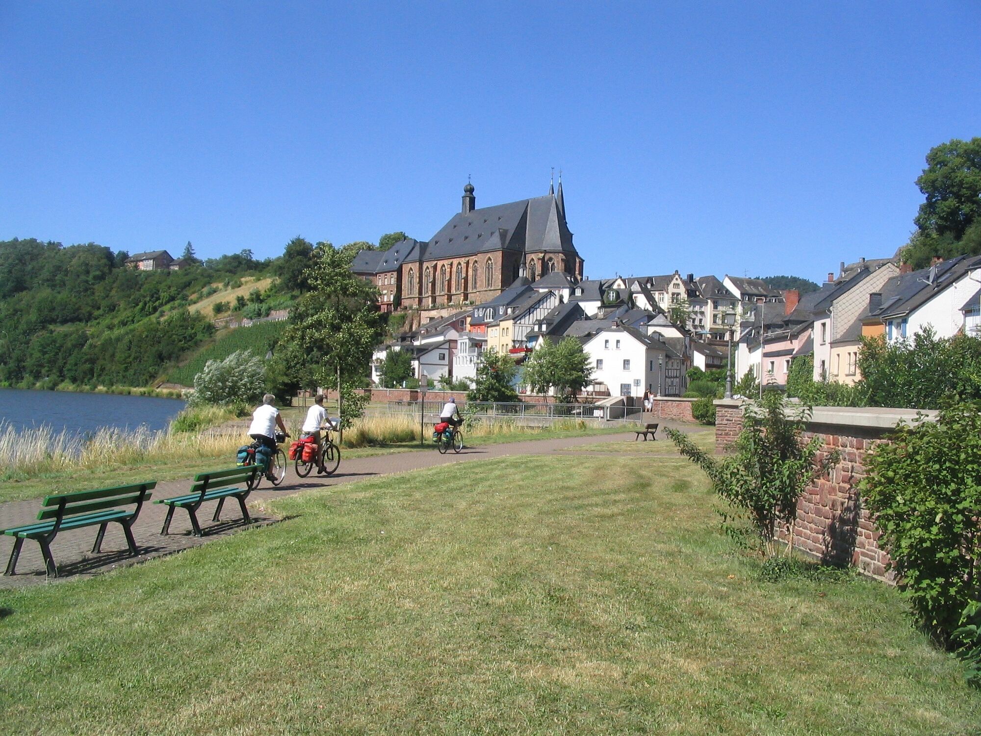
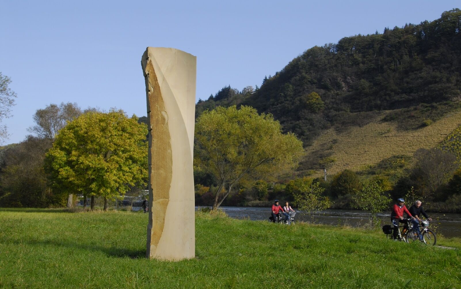

Completely on own paths and cycle paths, almost exclusively on flat terrain. The path is mostly asphalted, in some places paved or gravelled.
Tak
Tak
You should remember to bring enough drinks and cycling-appropriate clothing.
Many routes lead to the Moselle. Whether by train or car/motorhome, the Moselle is always worth a trip. The following information may be useful for your travel planning.
You can park for free at Messepark or for a fee in a Trier car park.
1
You should definitely visit the 20 m high waterfall in Saarburg, whose roar can be heard from afar and is a major attraction.

Kamery internetowe z trasy

Popularne wycieczki w okolicy
-
4,4
Traumschleife Cloefpfad
średniWędrówka 8,02 km -
4,4
Trassem - Haus Jochem - Kruterberg - Klein Heide
średniWędrówka 11,3 km -
5,0
Traumschleife Kastel-Staadt Felsenpfad
ciężkiWycieczki górskie 10,2 km -
4,8
Taben-Rodt Gipfel Maunert
średniWędrówka 12,0 km -
4,3
Traumschleifchen Garden Wellness Route
światłoWędrówka 5,91 km -
4,0
Moselsteig stage 03: Nittel – Konz
ciężkidługodystansowy szlak pieszy 22,5 km -
Star route around Trier - Route 1: On the Ruwer-Hochwald Cycle Path
światłoJazda na rowerze 53,8 km -
5,0
Saarschleife Tafeltour
ciężkiWędrówka 16,4 km -
Moselsteig stage 02: Palzem - Nittel
średnidługodystansowy szlak pieszy 16,4 km -
4,0
Montclair Tafeltour 01.08.2021
światłoWędrówka 9,17 km
Wędrówki i tropienie


Nie przegap ofert i inspiracji na następne wakacje
Twój adres e-mail została dodana do listy mailingowej.


