






Cycle service road on the B270: Connection between Nahe and Glan-Blies cycle routes

The new connection closes an important gap in the cycle route network between the Nahe cycle route and the Glan-Blies cycle route. The approximately 24 km long section runs mostly near the B270, but on...
The new connection closes an important gap in the cycle route network between the Nahe cycle route and the Glan-Blies cycle route. The approximately 24 km long section runs mostly near the B270, but on separate cycle path sections away from motor traffic, so that the riding enjoyment is not lacking.
Important note: The cycle path is currently not yet continuously signposted, this will be done shortly. Until then, please use the GPX track and overview map available here for orientation.
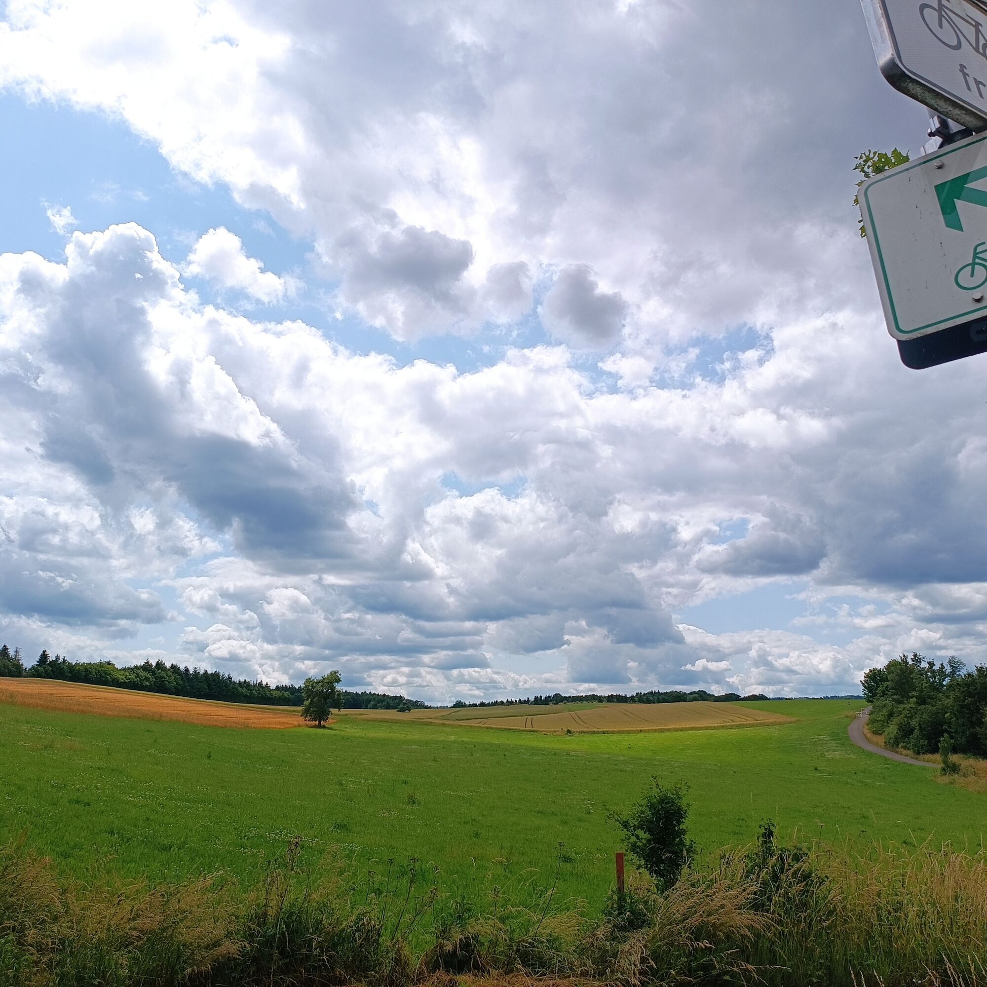
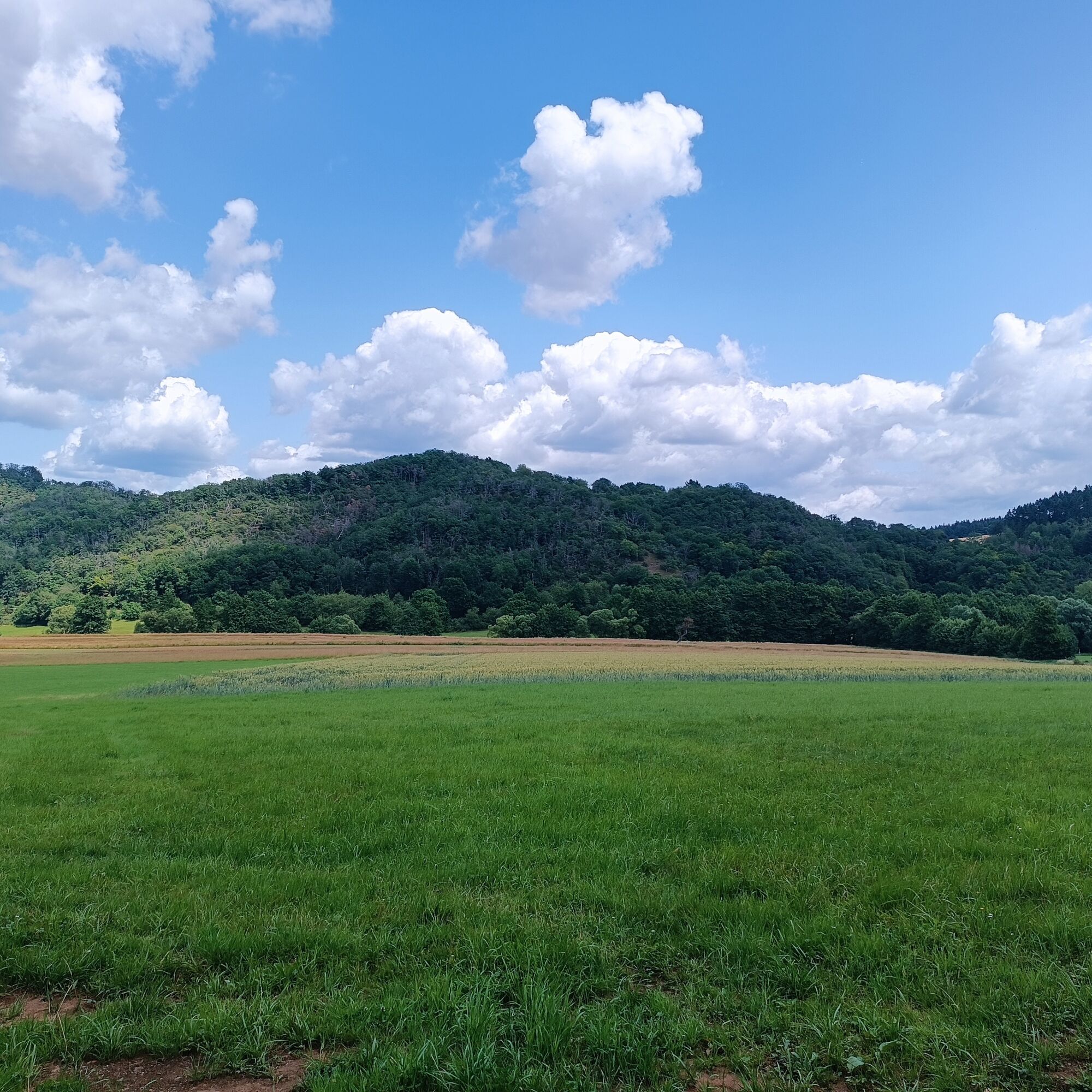
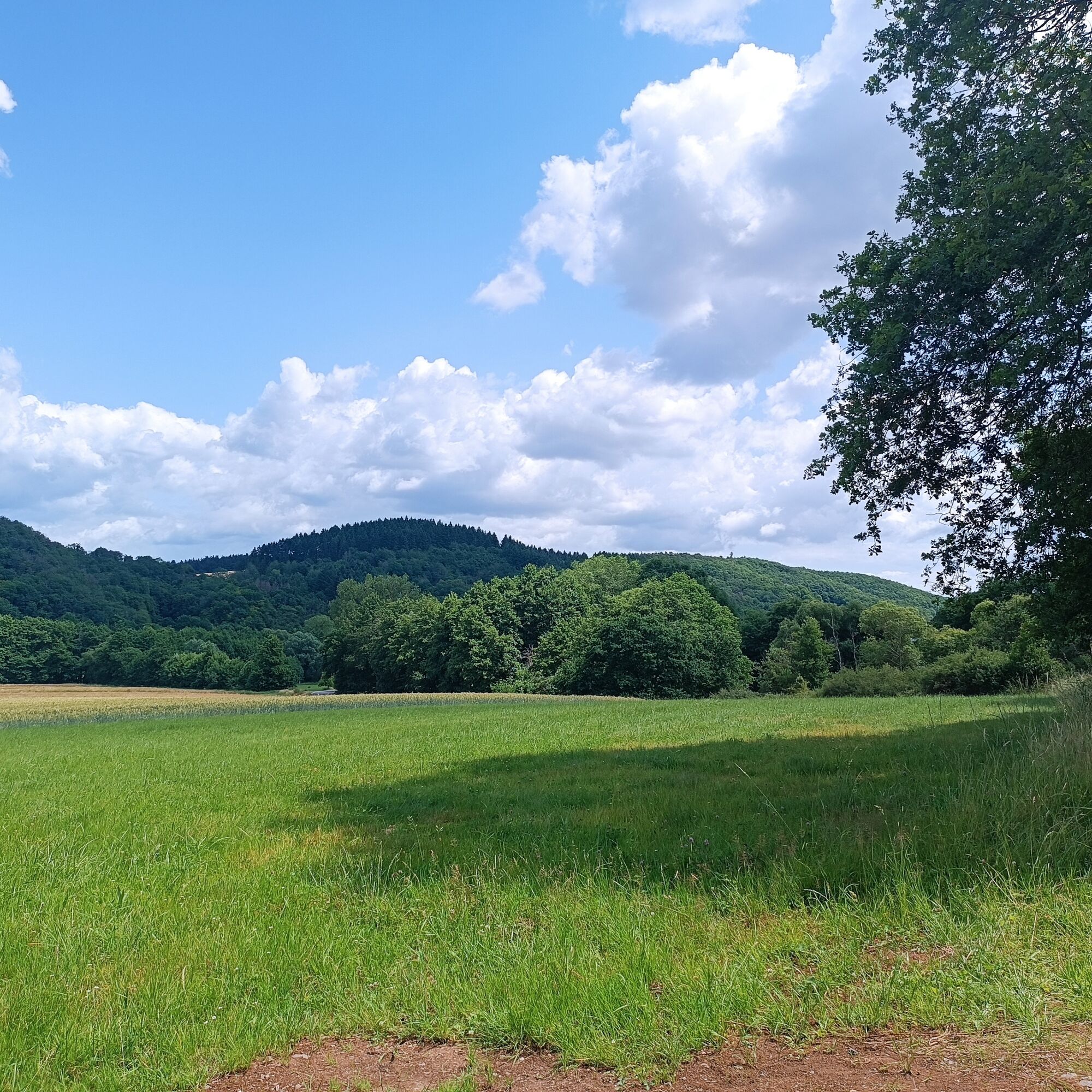
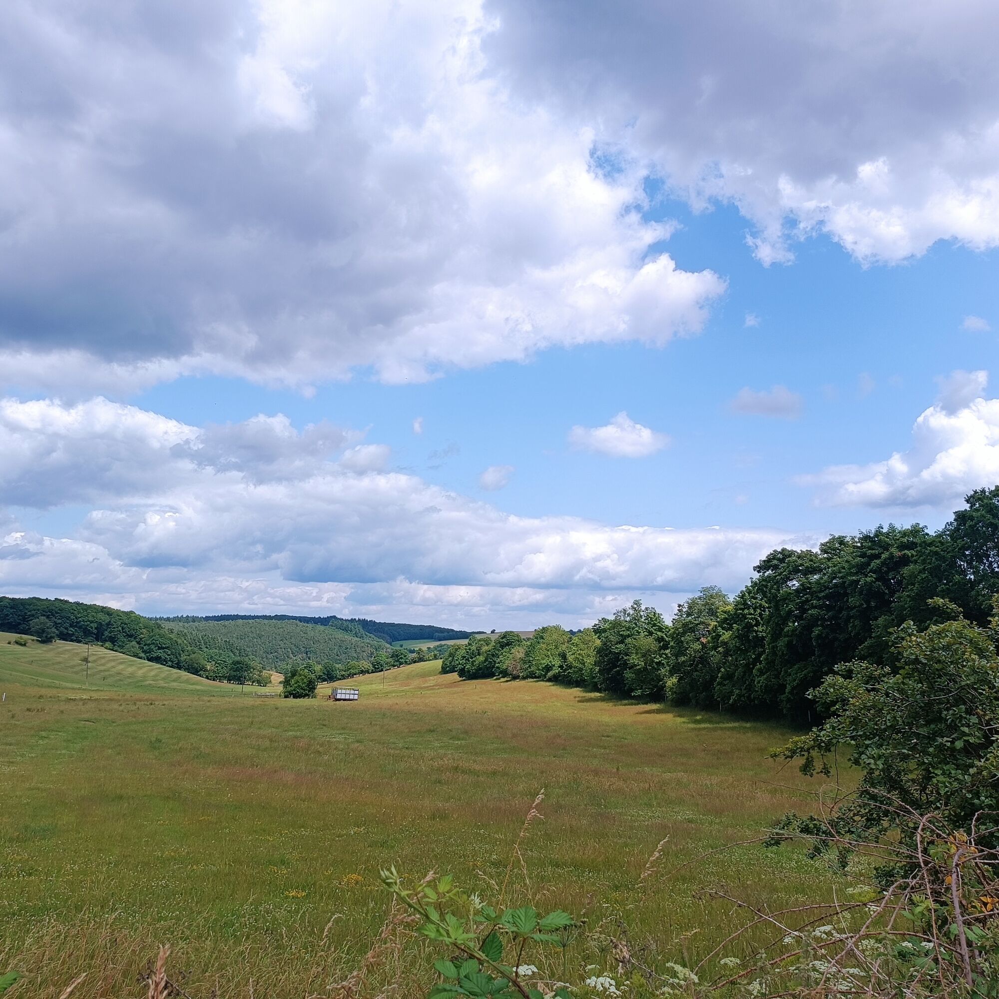
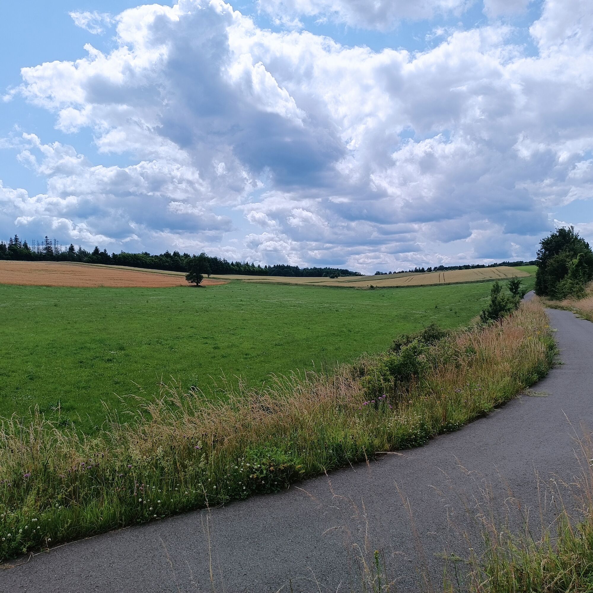
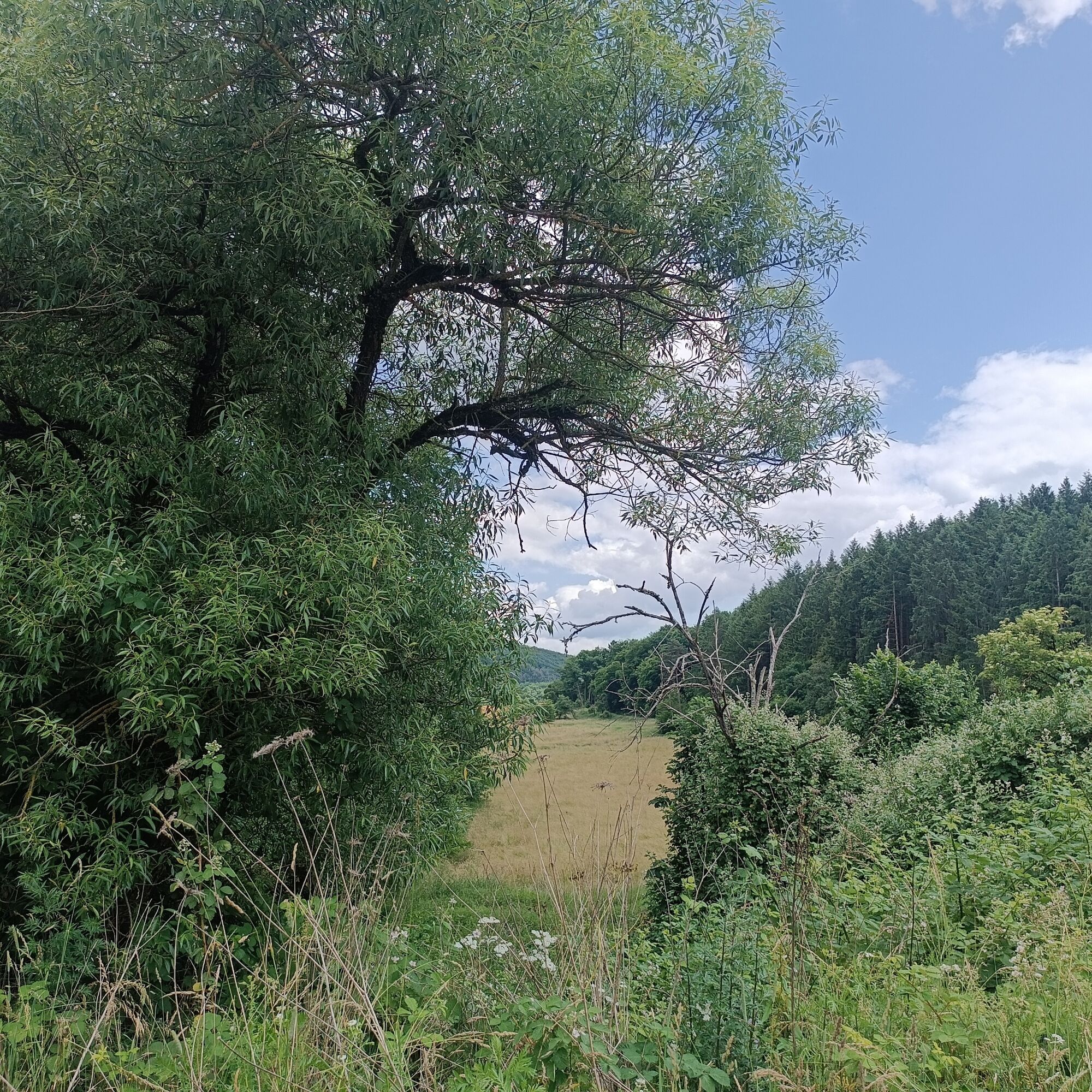

We start at Fischbach-Weierbach station and initially follow the Nahe cycle route towards Kirn. After a few meters, we cross the road behind the roundabout near Aral/carpool parking lot at the crossing aid and continue to follow the cycle path on the right side up to the next roundabout. There we stay on the cycle path, cross two on- and off-ramps, and follow the path at the exit "Kaiserslautern/Lauterecken/B270." After a few meters, the cycle path separates from the B270 and we ascend slightly to the right, following the newly developed section of path to Mittelreidenbach. We pass through the town via Ringstraße and Bachweg and leave the village on farm roads towards Oberreidenbach. In a curve we cross the Zaubach over the newly built bridge and continue to Oberreidenbach. We pass through the village via Im Wiesengrund and Talstraße streets, continue on the main street, which we follow to the town exit and which leads us as district road K43 to Sienhachenbach. We pass through Sienhachenbach on the main street, turn onto Im Oberdorf and Maiwiese streets, from where we rejoin the K43. Shortly before the K43/B270 junction, we turn right onto the developed cycle path and follow the path towards Kaiserslautern/Lauterecken. The cycle path now continues structurally separated along the B270 but then goes right through the municipality of Sien (past the cemetery into Fürst-Dominik-Straße, right into Sickinger Straße, and right again into Straße Im Winkel). We leave the town here, keep left, and ride through open countryside past some farms and a small forest. At the fork behind the forest, we keep left; after another kilometer, we turn right and approach the B270 again. This area of the path is the highest point of our tour.
We continue along the B270 towards Lauterecken/Kaiserslautern on the separate cycle path. On the opposite side of the road are the town of Langweiler and the Rüllberg outdoor pool. We stay on the cycle path, cross the intersection of district road K64 into the B270, and pass by the town of Grumbach, which is on the opposite side. Shortly before reaching Lauterecken, the cycle path switches via an underpass to a path on the left side of the B270.
We follow this until Lauterecken. Upon arriving in Lauterecken, you can follow the path a bit left at the gas station and then pass through the town (e.g. via Saarstraße/B420 and Hauptstraße) to connect to the Glan-Blies cycle route.
On the B41 take the exit towards Herrstein/Fischbach, then exit towards Idar-Oberstein/Weierbach. Tip: Parking is also available at the carpool parking lot on the B41.
Fischbach-Weierbach station is accessible by regional train (RB 33). Bus connections include lines 801, 870, 878.
We recommend planning via www.rnn.info
Please note: Lauterecken station is connected to the Lautertalbahn line, there is no direct train connection to Fischbach-Weierbach station. The call-collect taxi 360, which operates between the two stations, cannot transport bicycles.
Other cycle routes can also be reached via the connecting section, e.g. the panorama route on the Sonnenplateau towards Fischbach.
Popularne wycieczki w okolicy
-
4,0
Dream loop "Nahe Rock Trail"
ciężkiWędrówka 8,98 km -
Dream Loop "Gemstone Grinder's Path"
średniWędrówka 16,0 km -
4,5
Dream loop "Around the Kama"
światłoWędrówka 6,18 km -
4,3
Kirn - Kallenfels - Oberhausen bei Kirn
średniWędrówka 13,7 km -
5,0
Traumschleife Bärenbachpfad (Dream Loop Bear Creek Trail Baumholder)
średniWędrówka 15,2 km -
5,0
Circular hiking route Hildebrecht's Homeland
Wędrówka 7,20 km -
5,0
Bike route "Panoramic route on the Sonnenplateau"
ciężkiJazda na rowerze 39,3 km -
5,0
Glan-Blies cycle path | Waldmohr - Staudernheim
średniKolarstwo długodystansowe 74,9 km -
4,0
Kombi Tour Felsen Kamawoog Weg
ciężkiWędrówka 23,7 km -
Glan-Blies Cycle Route | Family route »Storks, churches & rail cycles«
światłoJazda na rowerze 32,4 km
Wędrówki i tropienie


Nie przegap ofert i inspiracji na następne wakacje
Twój adres e-mail została dodana do listy mailingowej.





