


Bike tour Upper Middle Rhine Valley World Heritage - South
Poziom trudności: 3
Zdjęcia naszych użytkowników
-

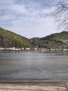
 © Peter WachelUtworzono dnia 03.04.2026
 -
 © Peter WachelUtworzono dnia 03.04.2026
 -
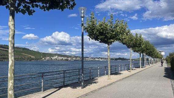
 © Lis MalzachUtworzono dnia 29.08.2025
 -
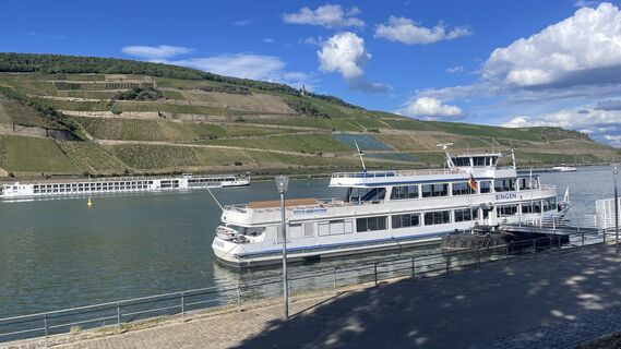 © Lis MalzachUtworzono dnia 29.08.2025
 -

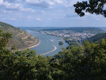
 © Ivan MonbailliuUtworzono dnia 21.08.2025
 -
 © Ivan MonbailliuUtworzono dnia 21.08.2025
 -
 © Finn WetterUtworzono dnia 17.08.2025
 -
 © SebastianUtworzono dnia 05.07.2025
 -
 © SebastianUtworzono dnia 05.07.2025
 -
 © SebastianUtworzono dnia 05.07.2025
 -
 © SebastianUtworzono dnia 05.07.2025
 -
 © Arthur MuskallaUtworzono dnia 22.03.2025
 -
 © Arthur MuskallaUtworzono dnia 22.03.2025
 -
 © Arthur MuskallaUtworzono dnia 22.03.2025
 -
 © Arthur MuskallaUtworzono dnia 22.03.2025
 -
 © Arthur MuskallaUtworzono dnia 22.03.2025
 -
 © Arthur MuskallaUtworzono dnia 22.03.2025
 -
 © Arthur MuskallaUtworzono dnia 13.10.2024
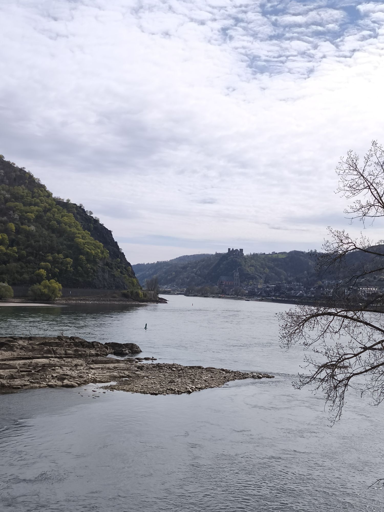


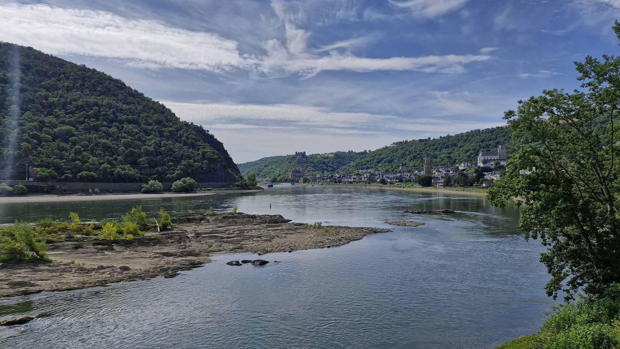


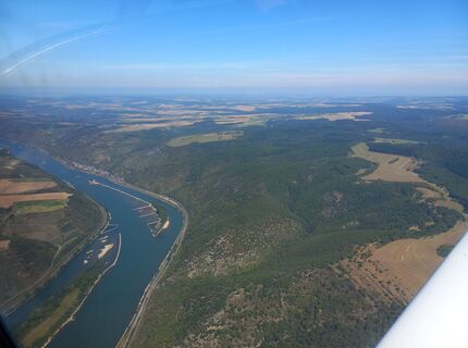
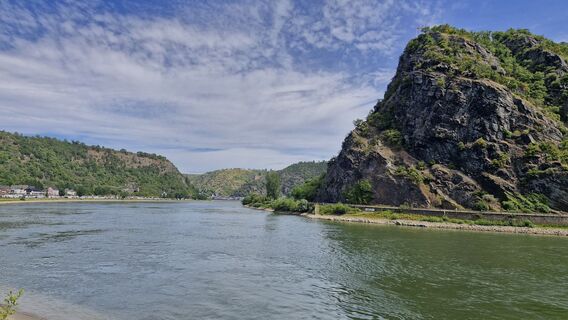
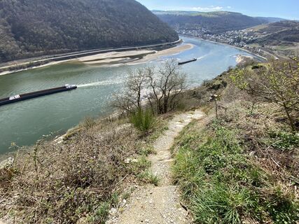
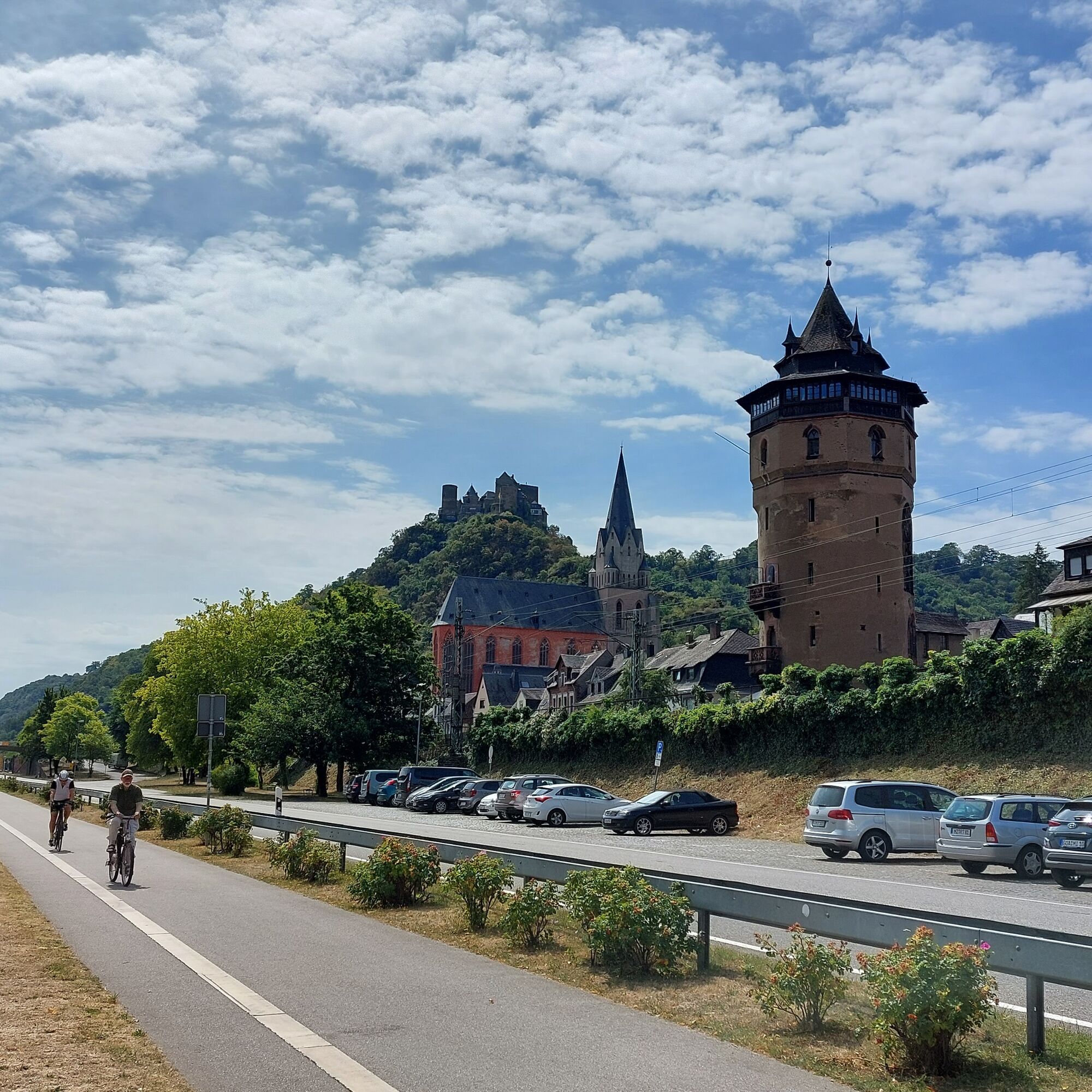
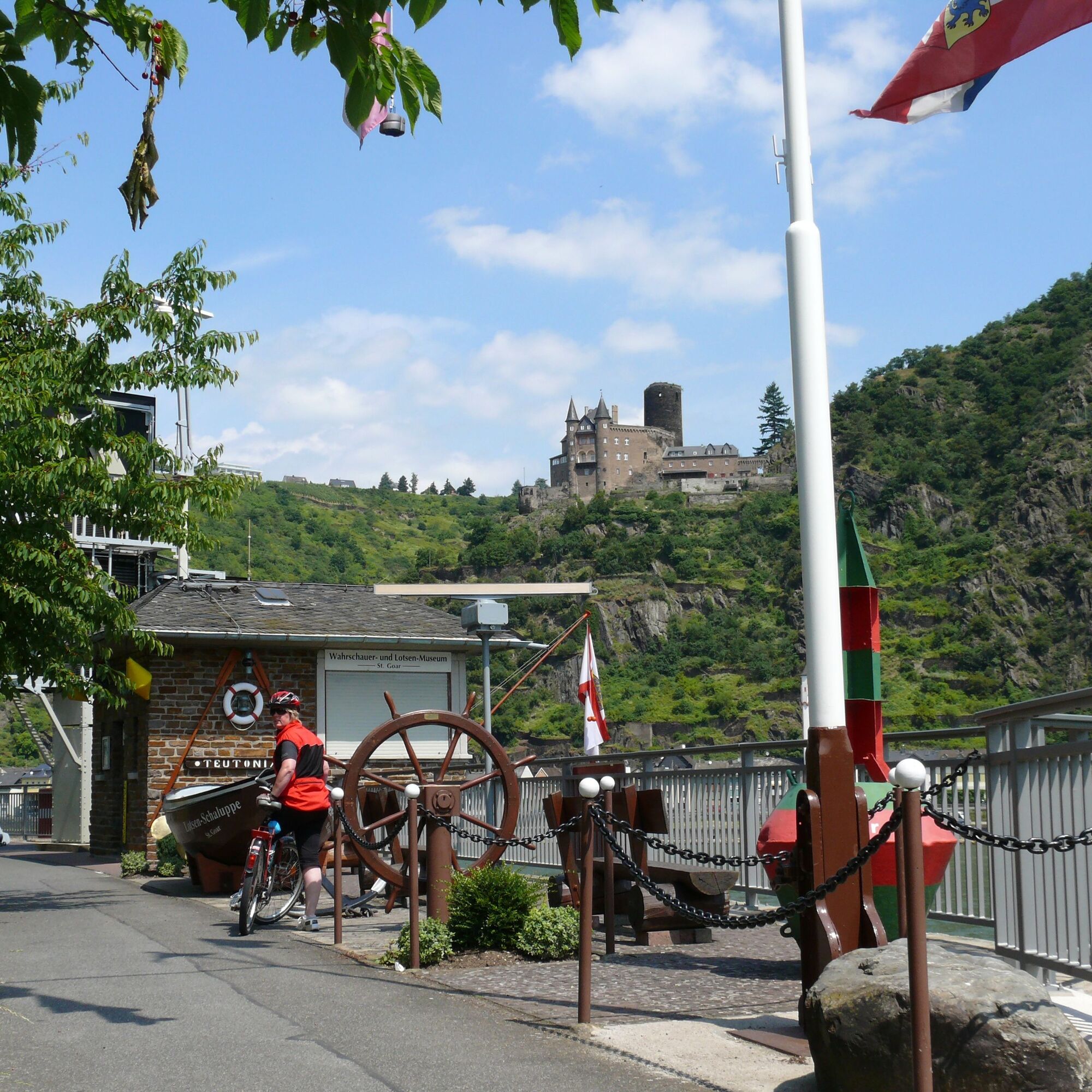
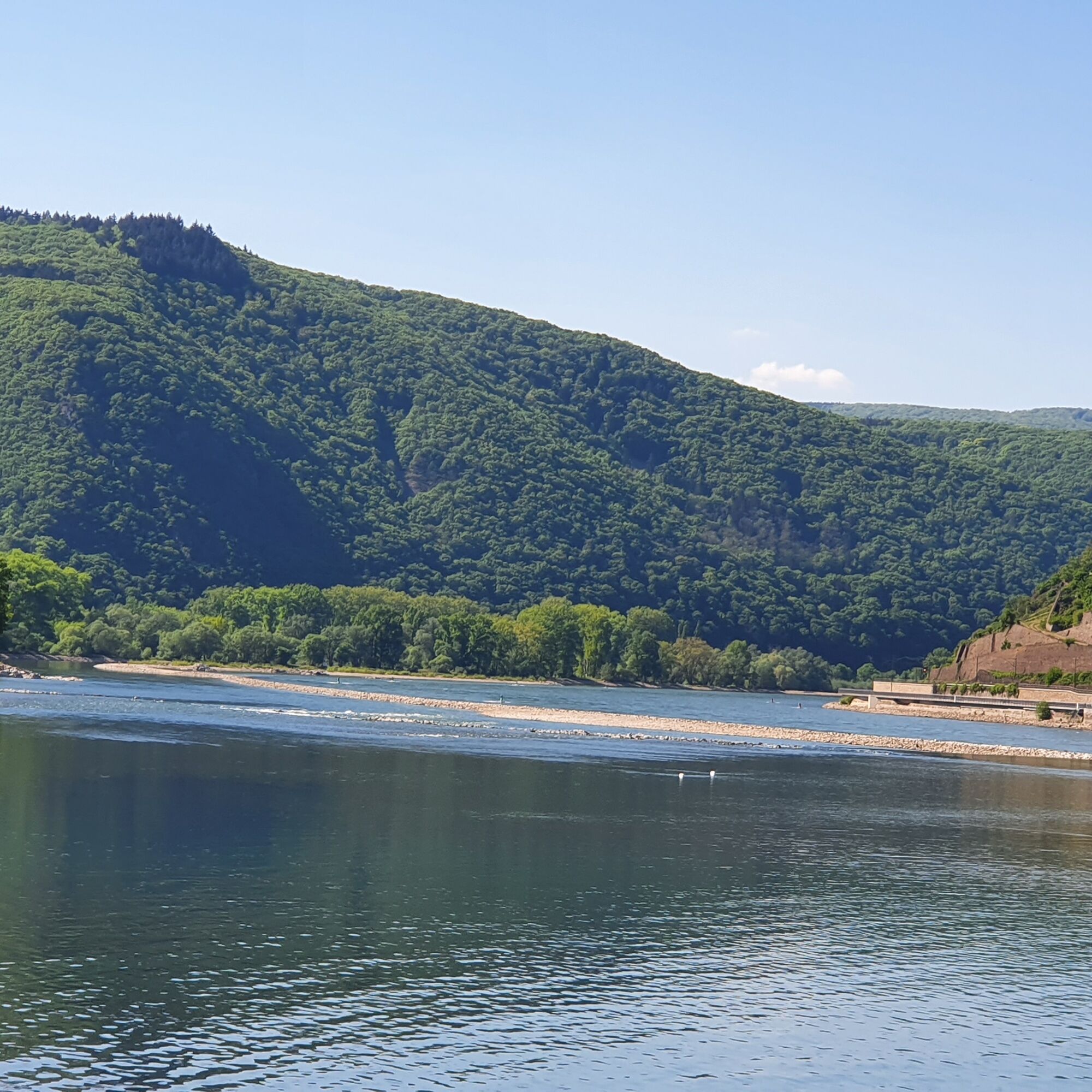
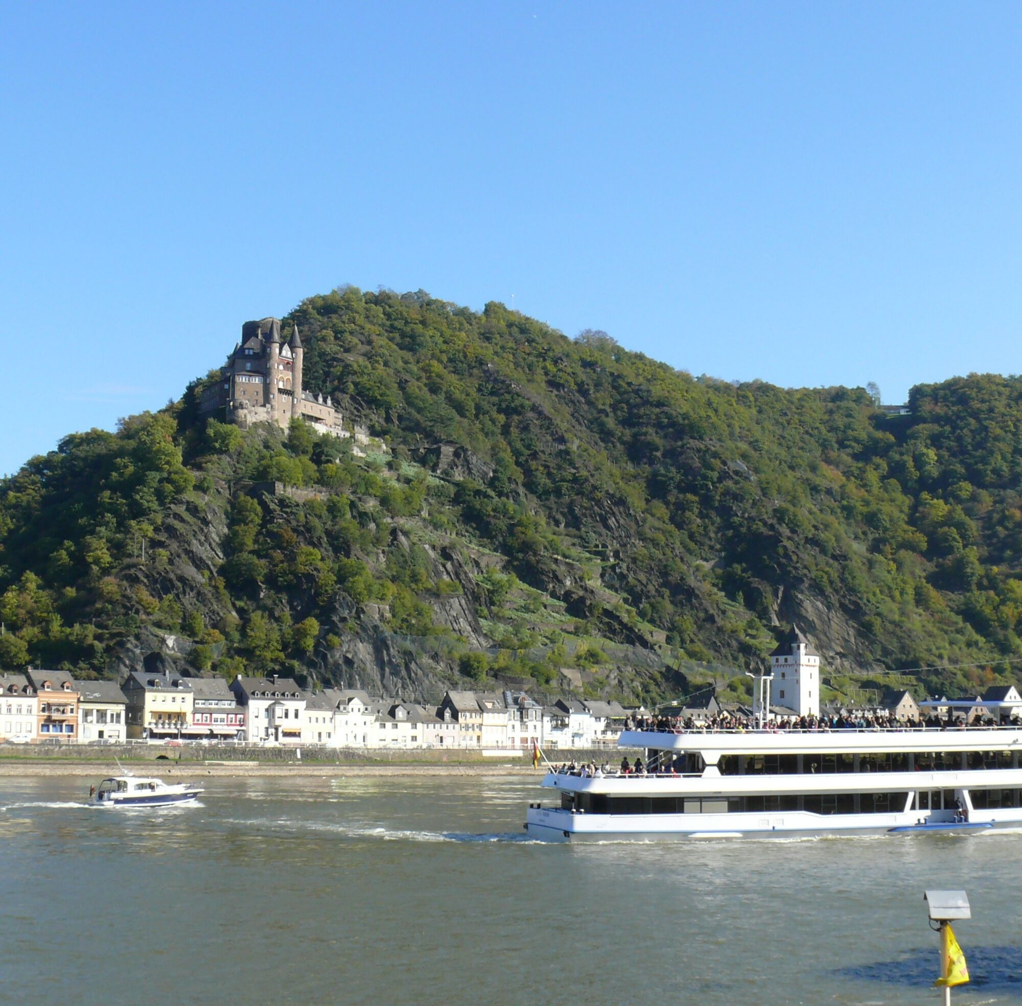
From the starting point in Oberwesel, head downstream along the Rhine with views of the Loreley to St. Goar, where we cross by ferry to the twin town of St. Goarshausen. From the heights, the castles Rheinfels,...
From the starting point in Oberwesel, head downstream along the Rhine with views of the Loreley to St. Goar, where we cross by ferry to the twin town of St. Goarshausen. From the heights, the castles Rheinfels, Katz, and Maus greet us.
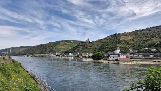
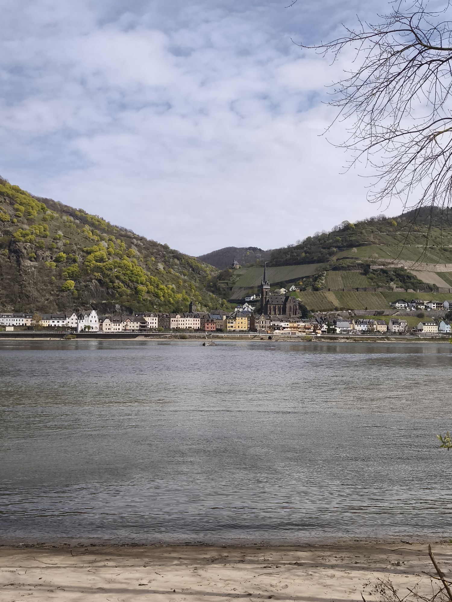
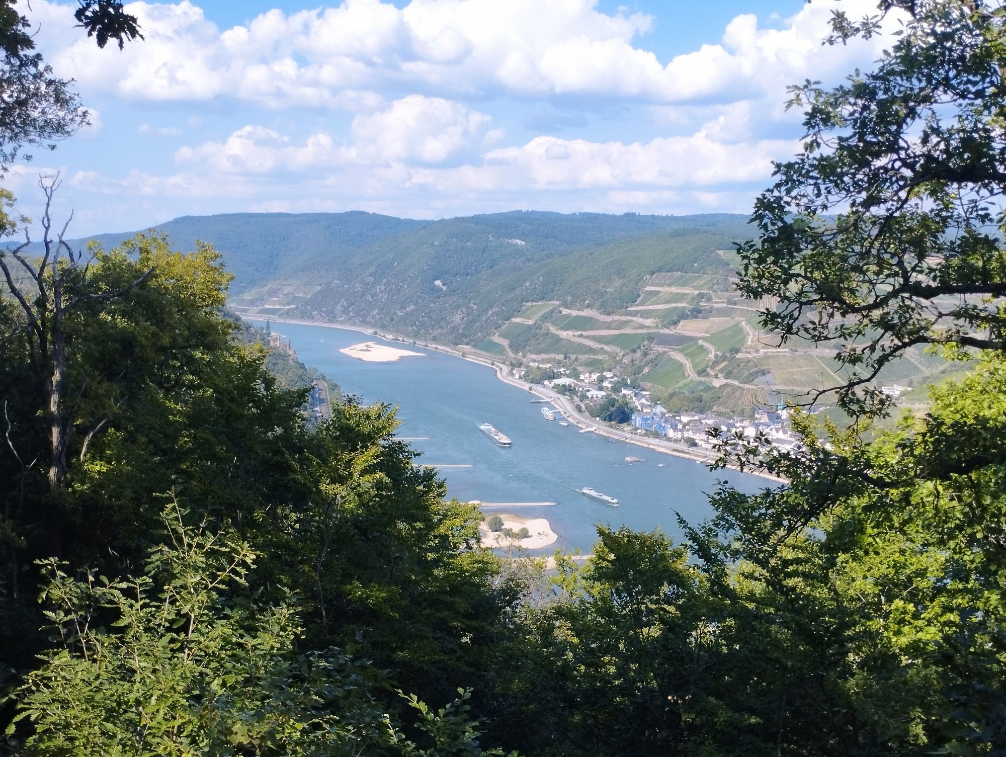
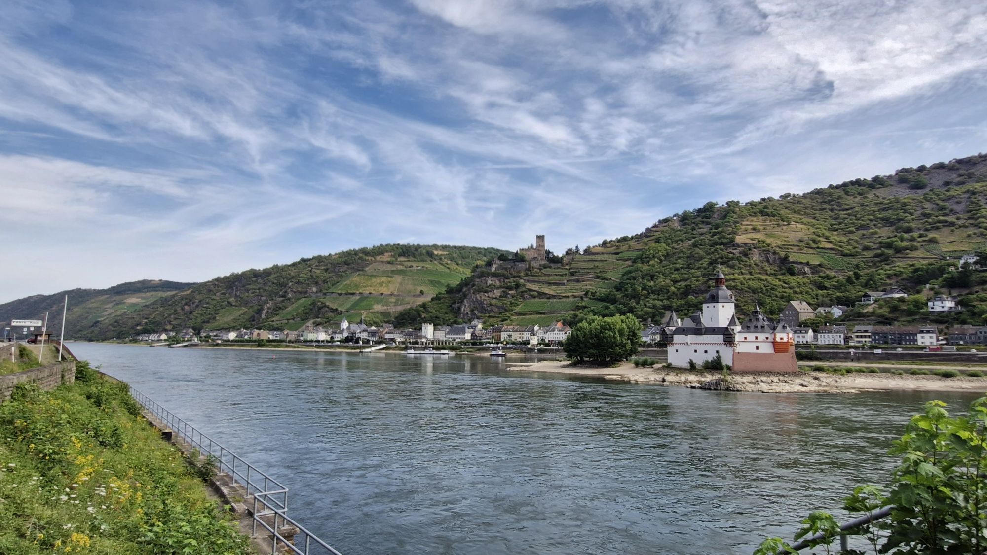
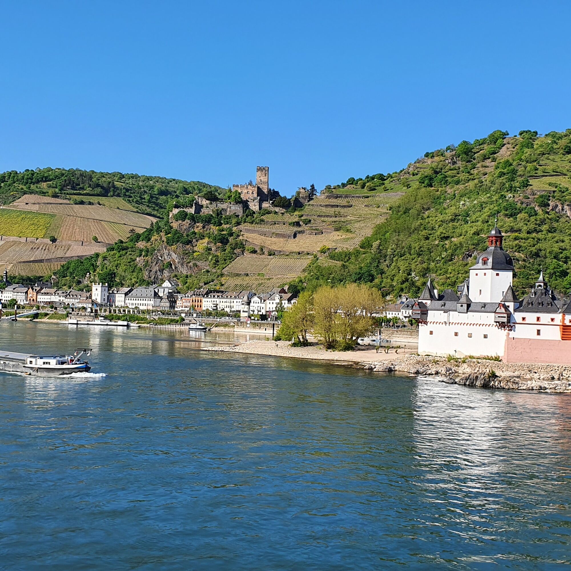
Past the Loreley rock, we reach the fortress town of Kaub with Gutenfels Castle and the former toll castle Pfalzgrafenstein in the middle of the Rhine. From Lorch, we continue on the brand-new bike path – the most expensive in Germany, according to the FAZ – via Assmannshausen to Rüdesheim.
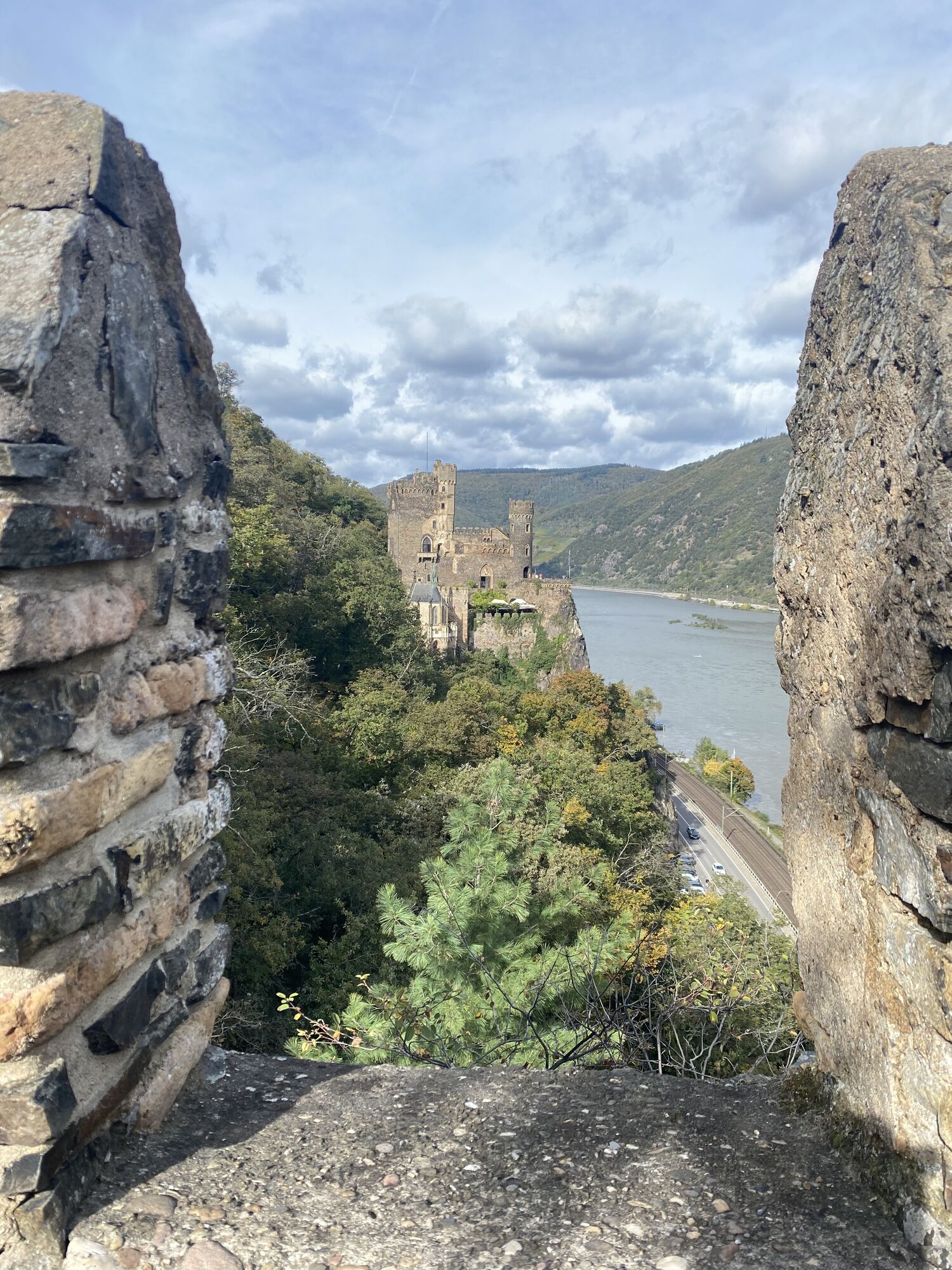
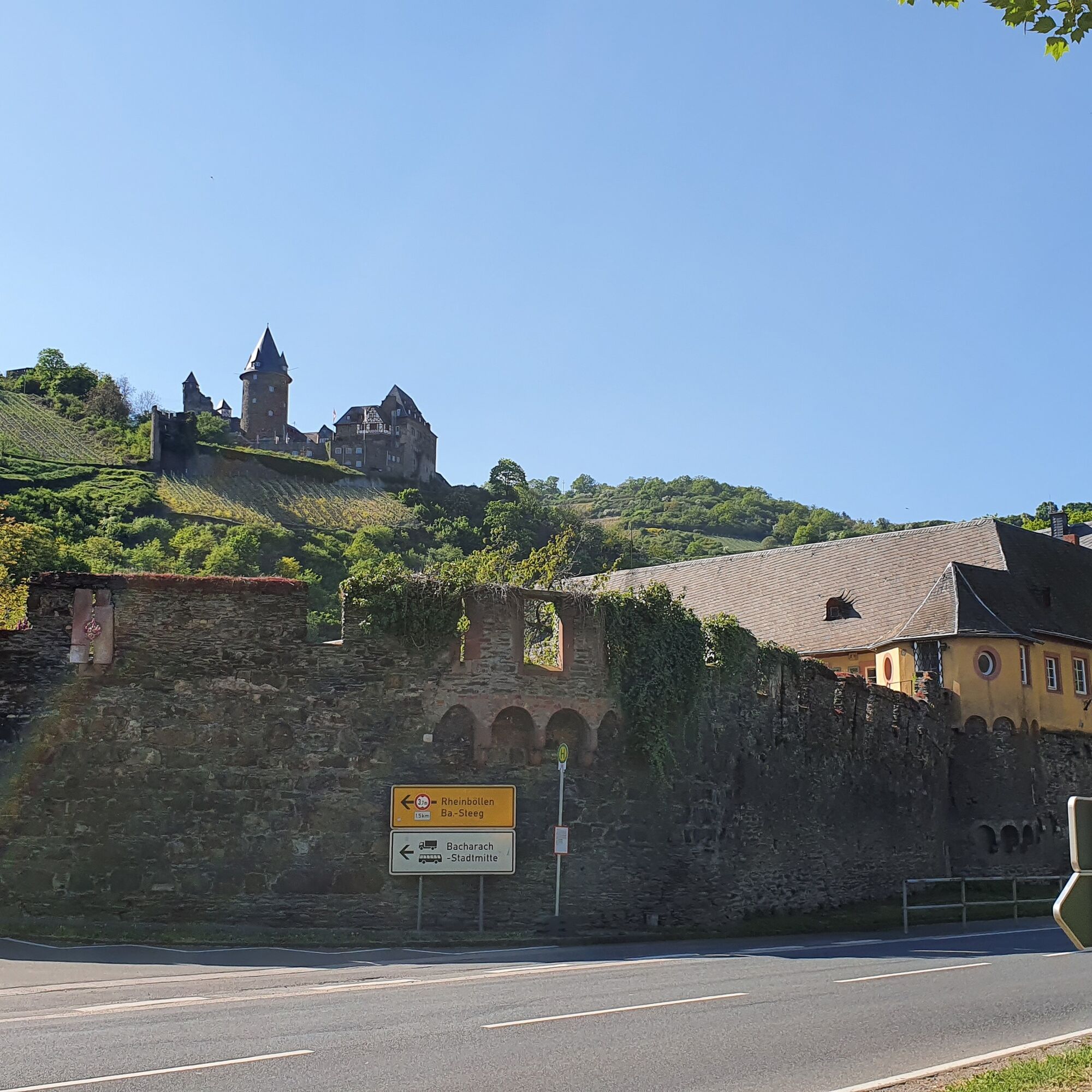
The ferry takes us to Bingen. From the Rhine-Nahe corner, we roll leisurely along Trechtingshausen, Niederheimbach, and Bacharach back to Oberwesel. Along the way, there are, of course, more castles to see, such as Rheinstein, Reichenstein, Stahleck, and Schönburg.
Tip: The route can naturally be started from any of the Rhine towns. Almost all are accessible by train station, and with the Germany ticket, you only have to pay for your bicycle on the St. Goar and Kaub ferries.

Tak
Tak
Don't forget your bicycle helmet!
As long as every road user shows a bit of consideration, it works great.
A 61 - Exit Wiebelsheim towards Oberwesel
A 61 - Exit Pfalzfeld towards St. Goar
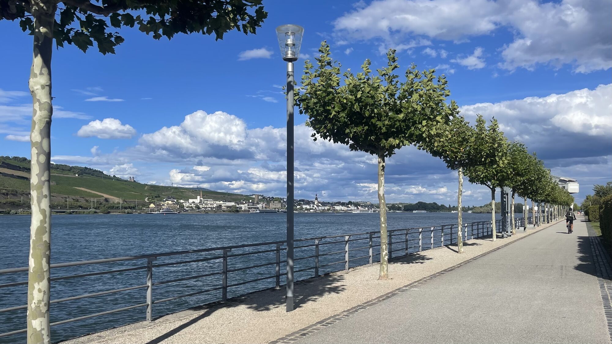
All larger towns are accessible by train along the Rhine line.
Parking Oberwesel
Parking St. Goar
3
The route can be shortened in either direction using the ferries in Kaub or Niederheimbach.
More bike tours
Classic: Cable car to the Niederwalddenkmal near Rüdesheim
William Turner Route: some of the painting locations 10-25 are on a different route (not yet fully implemented)
Popularne wycieczki w okolicy
-
5,0
Traumschleife Mittelrhein
ciężkiWędrówka 14,7 km -
4,5
Durch den Kammerforst zum Teufelskadrich
światłoWędrówka 12,3 km -
5,0
Panorama trail St. Goar
średniWędrówka 8,47 km -
5,0
Traumschleifchen Pfalzblick
światłoWędrówka 5,68 km -
4,3
Dream loop Werlau Mushroom
światłoWędrówka 5,60 km -
4,8
Rund ums Niederwald Denkmahl
światłoWędrówka 7,48 km -
5,0
Kaub - Burg Herzogenstein - Spitznack - Hasenberg
ciężkidługodystansowy szlak pieszy 22,1 km -
5,0
Kaub - Bacharach - Clemenskapelle - Pfarrkirche St. Martin
średnidługodystansowy szlak pieszy 13,8 km -
3,0
Dream route Spitzer Stein
średniWędrówka 6,64 km -
Traumschleife Schwede-Bure
średniWędrówka 11,9 km

Wędrówki i tropienie


Nie przegap ofert i inspiracji na następne wakacje
Twój adres e-mail została dodana do listy mailingowej.