


Loreley bike tour Hunsrück-Mittelrhein
Poziom trudności: 3


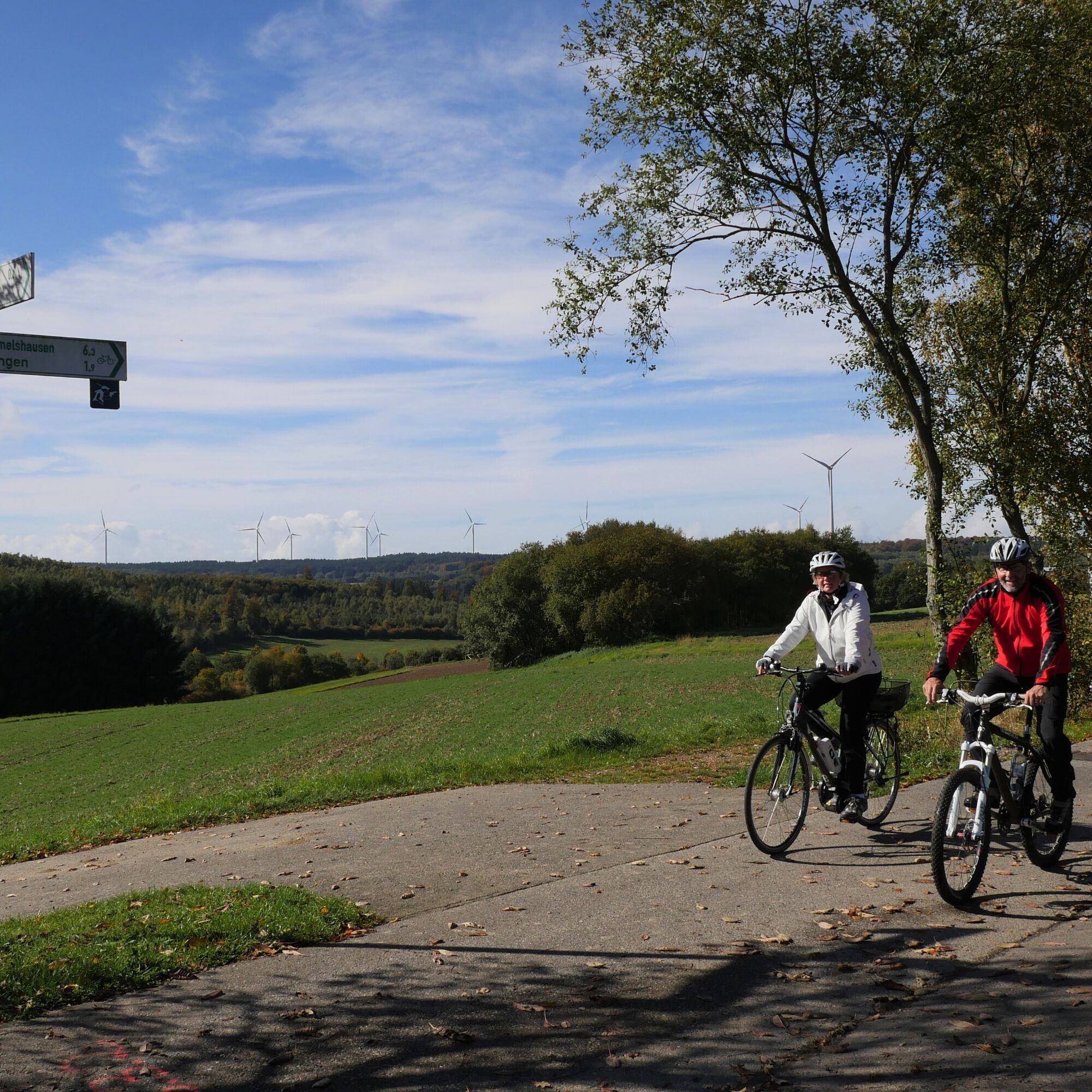
Take the former route of the Hunsrück railway, the Schinderhannes cycle path, from ZAP Emmelshausen to Pfalzfeld. There you turn left onto the state road and immediately left again towards Nenzhäuserhof....
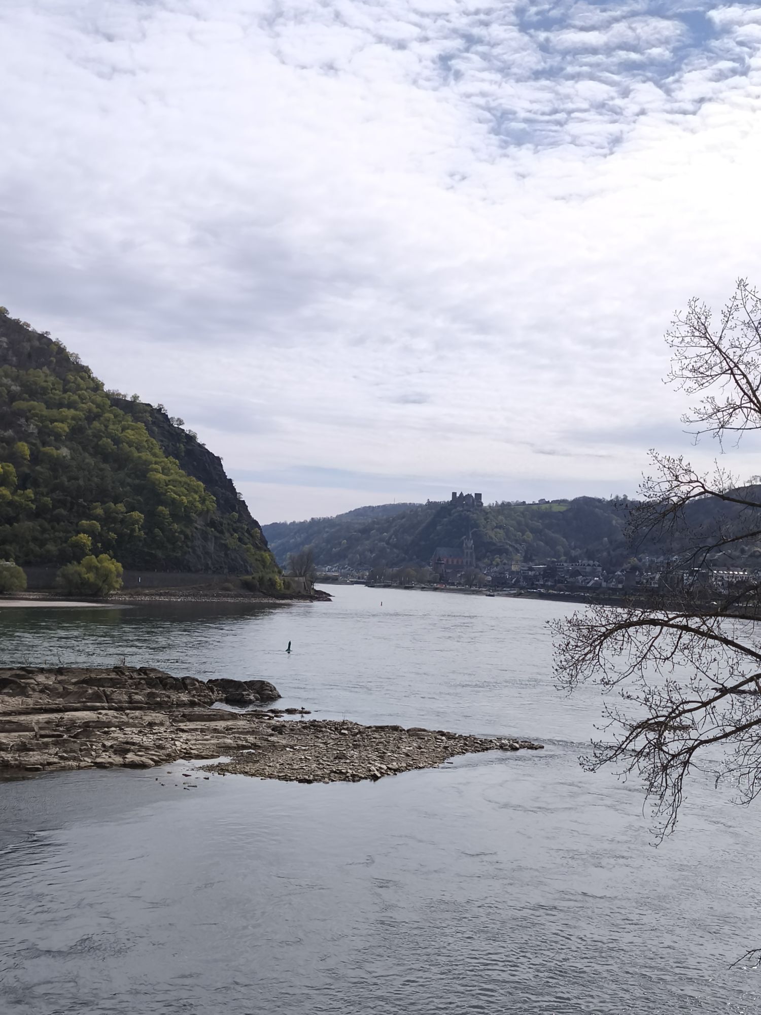
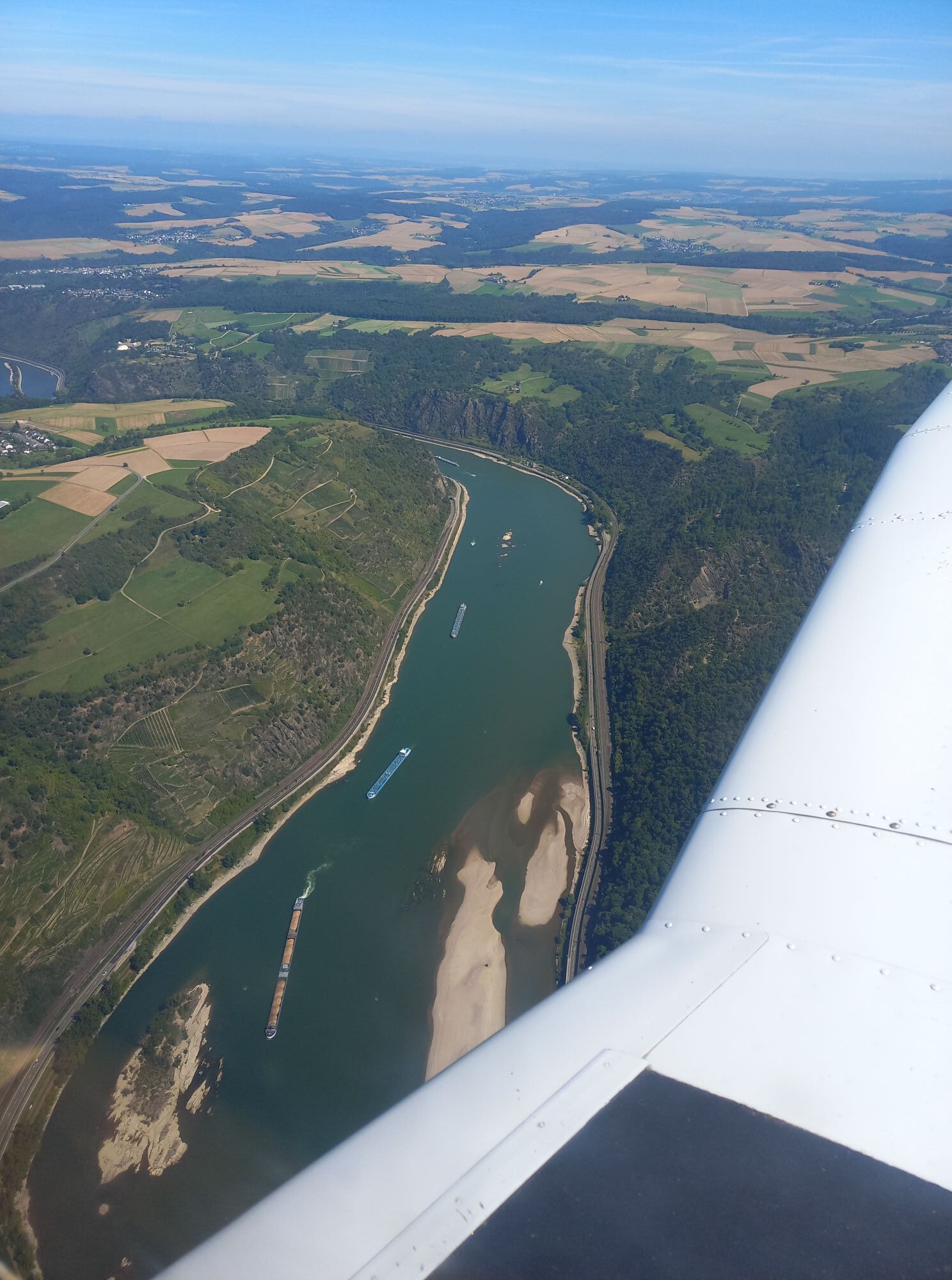
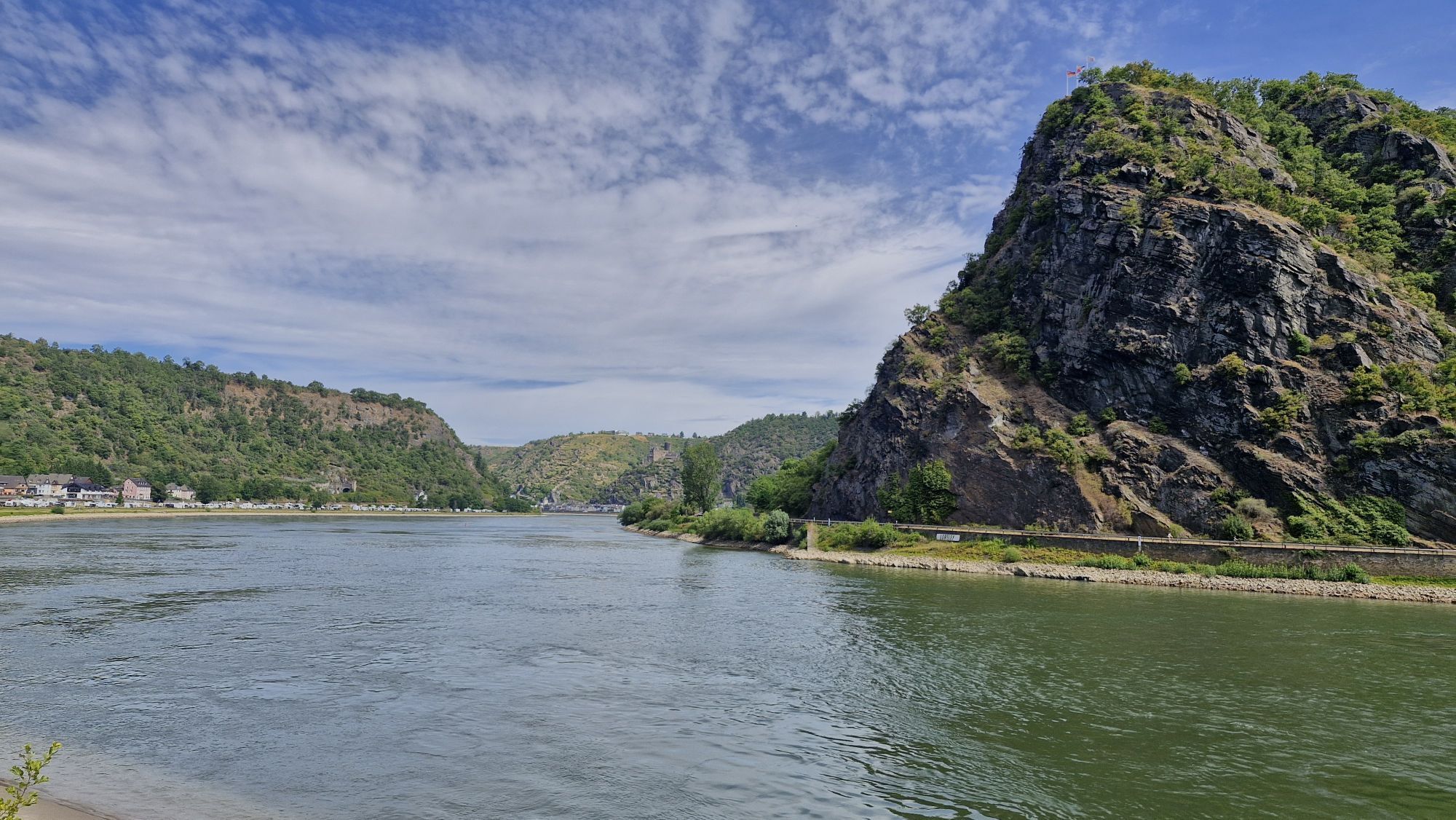
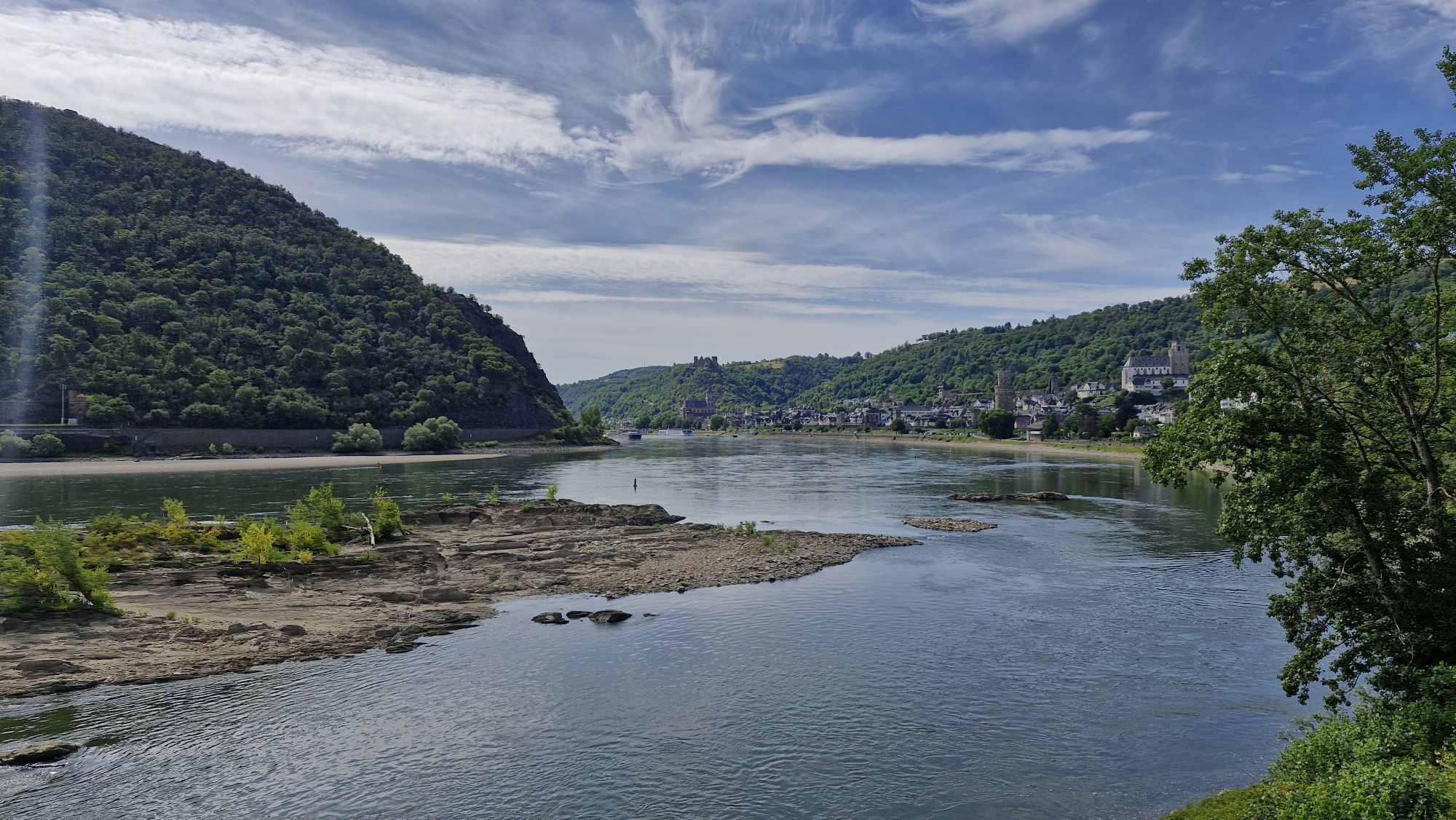
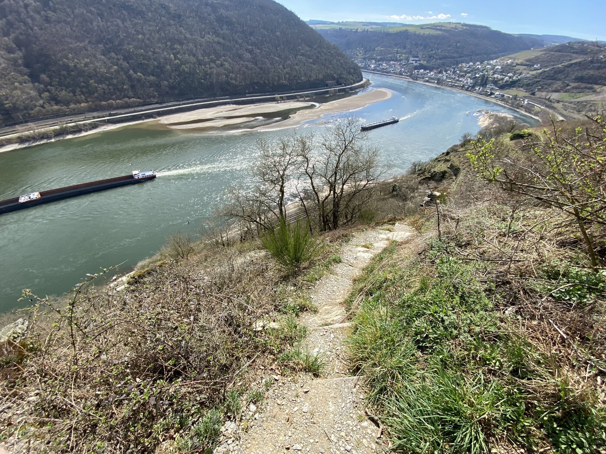
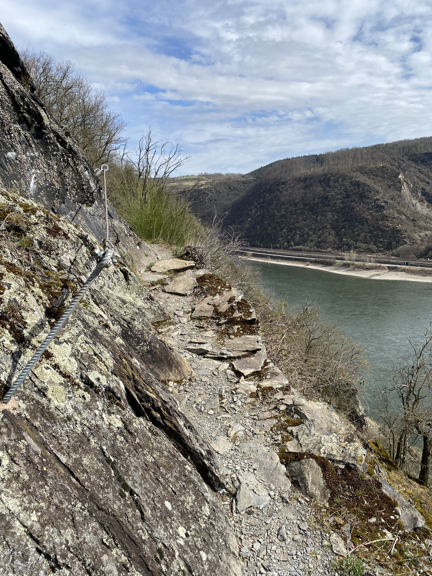
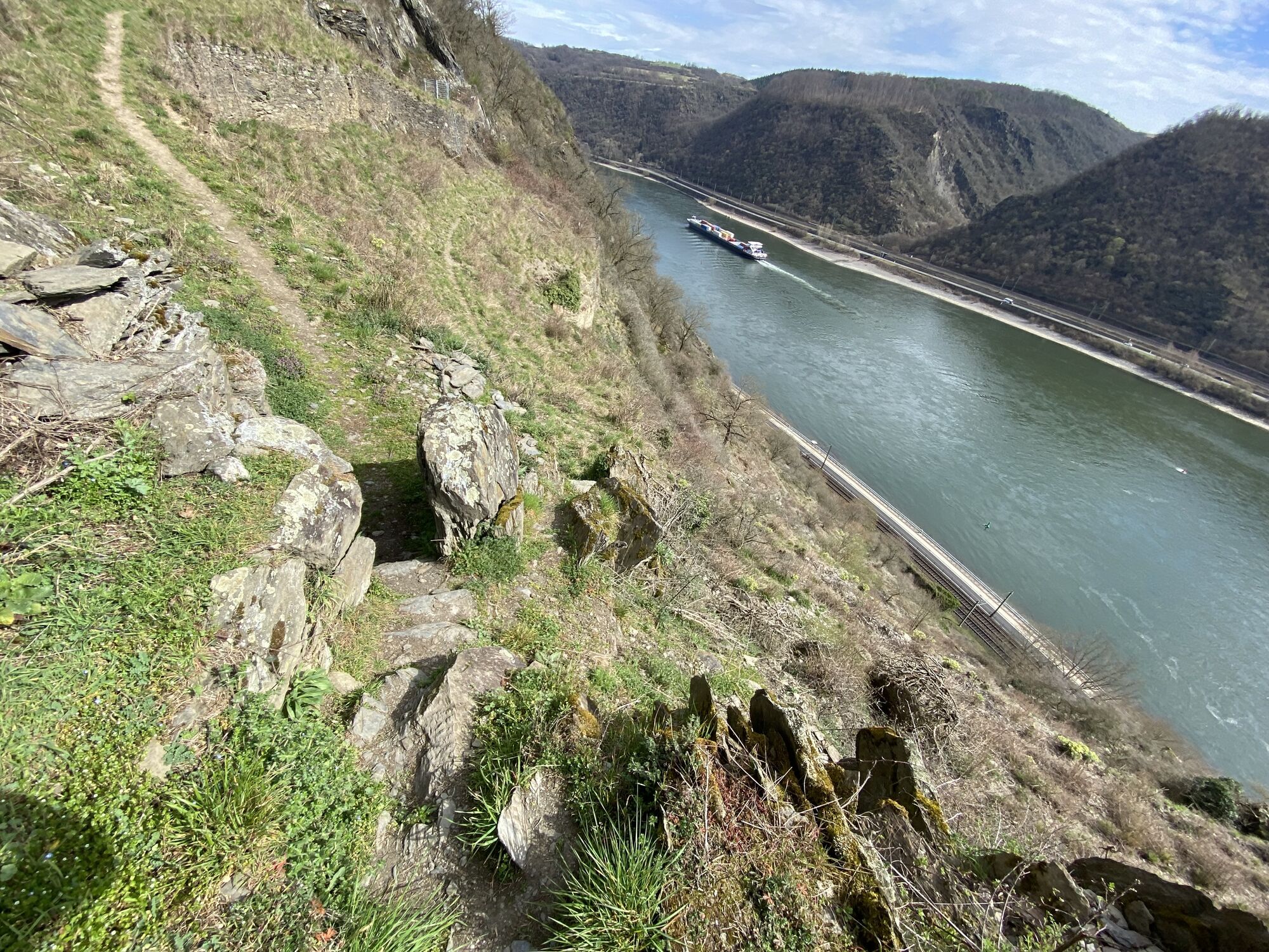
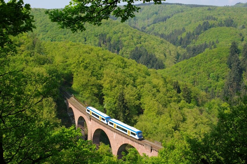
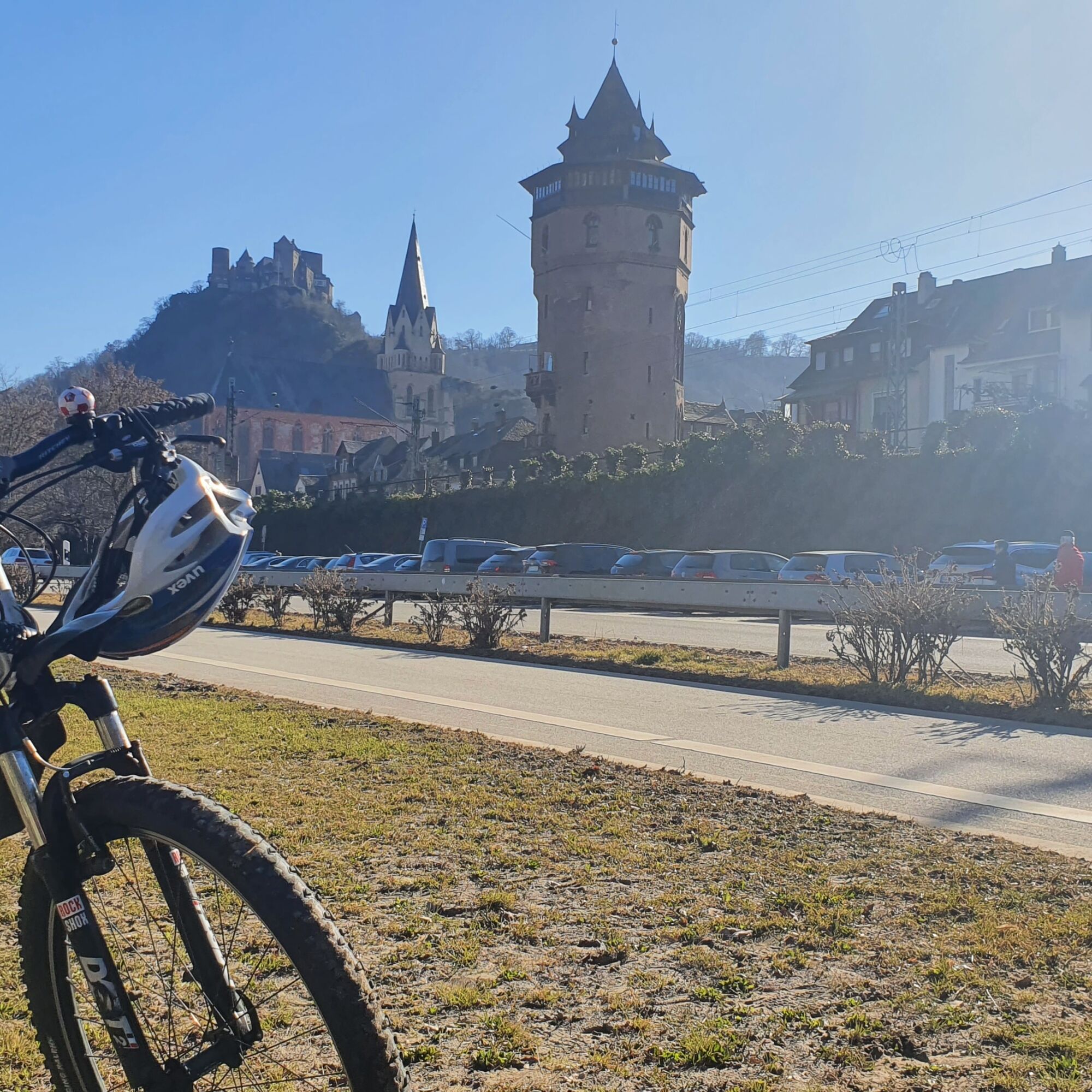
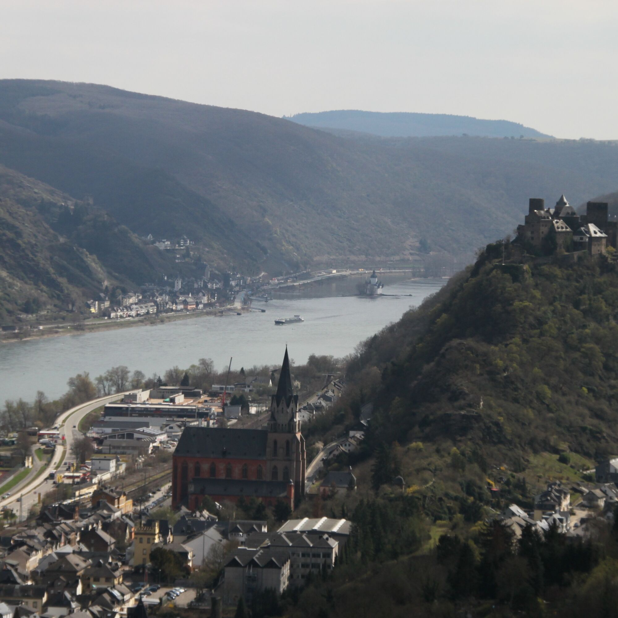
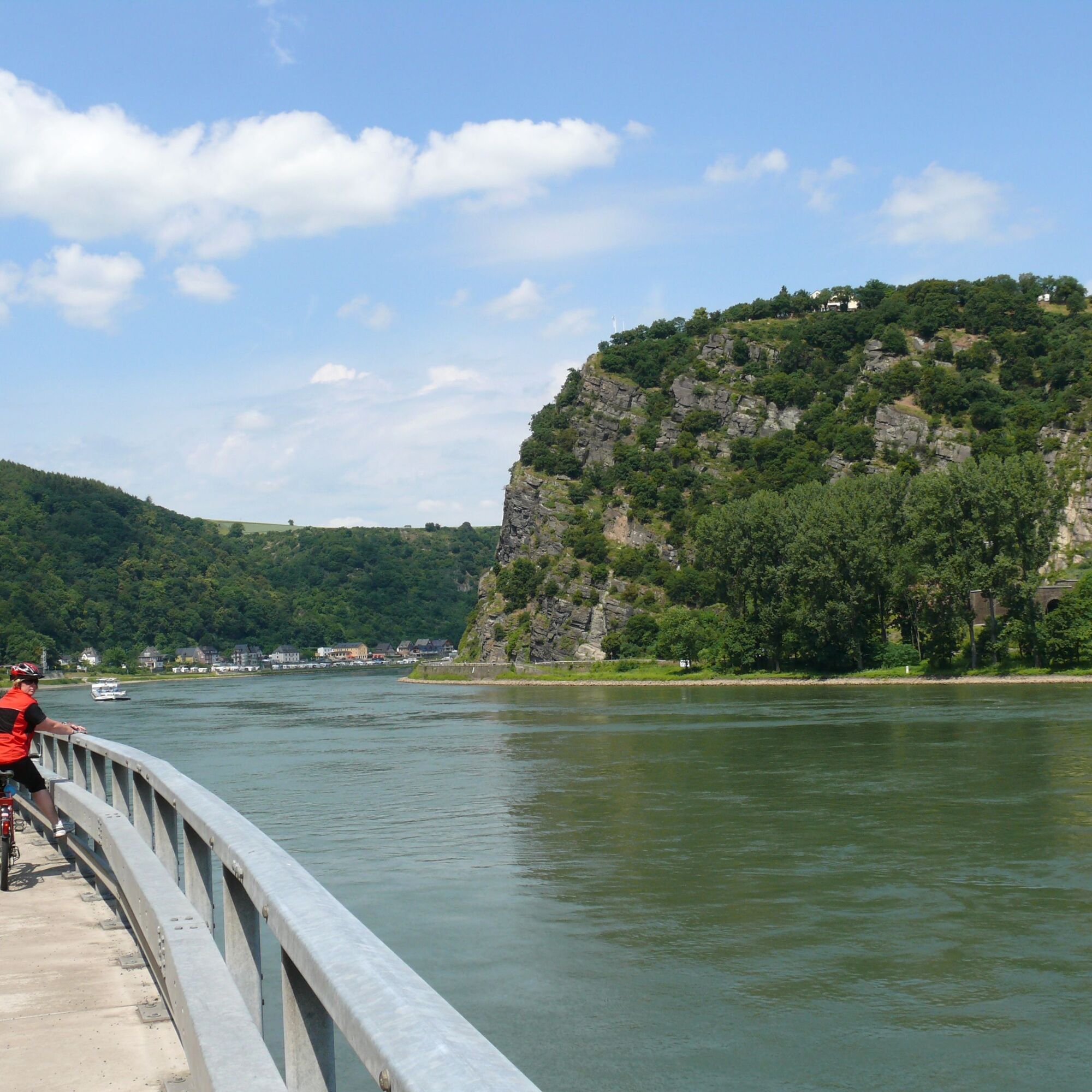
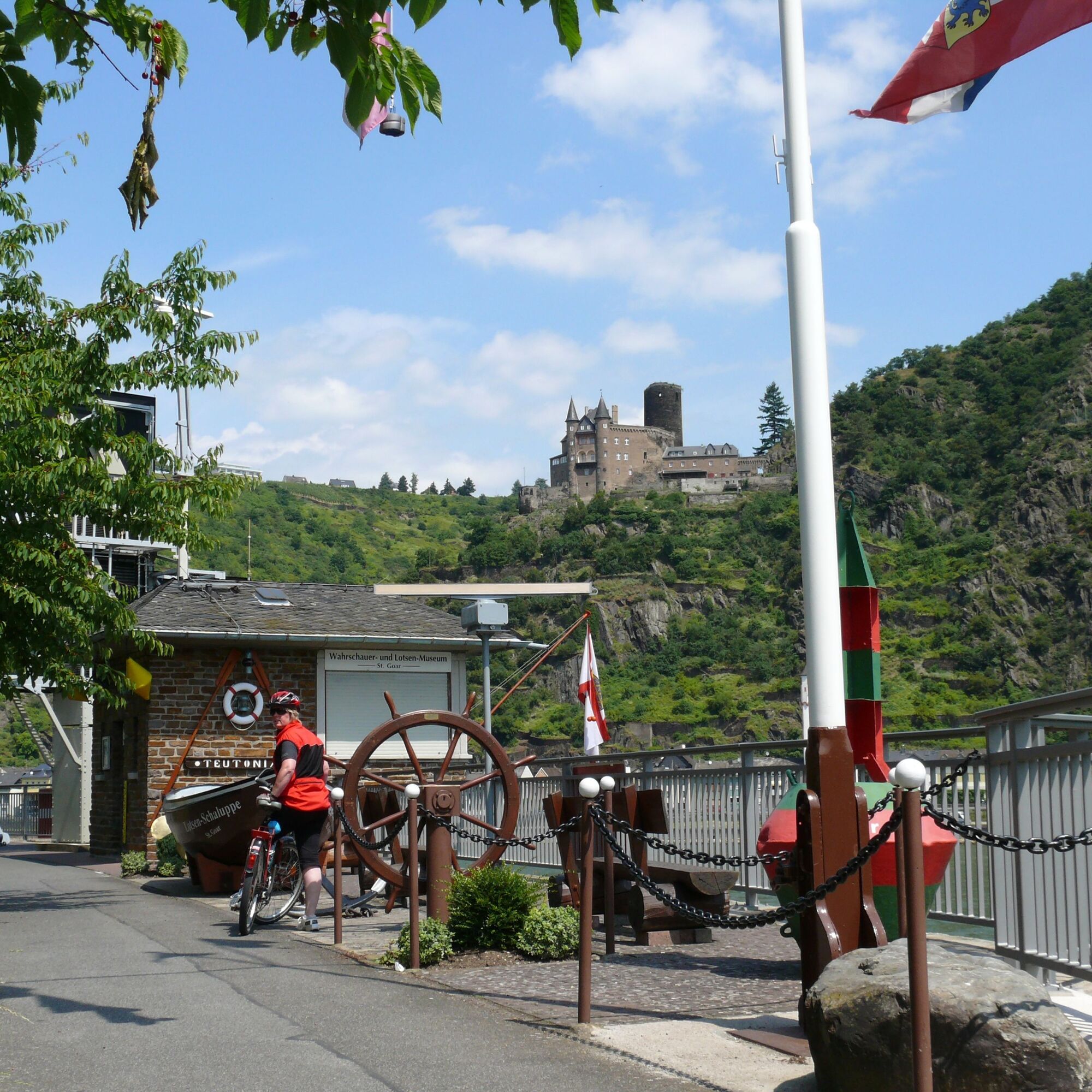
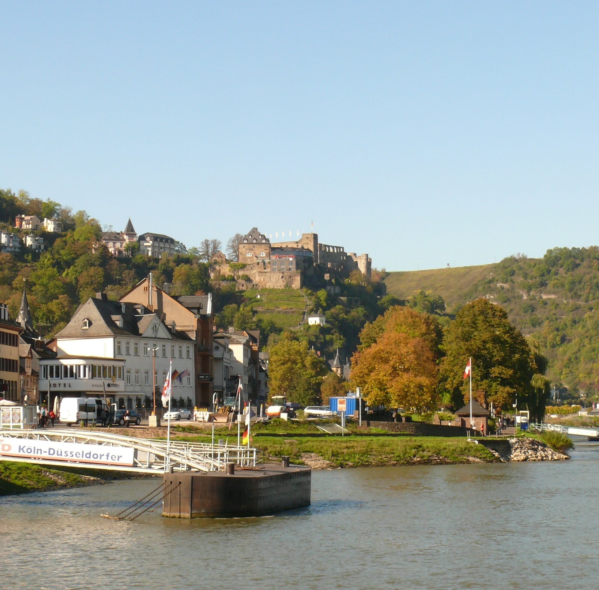
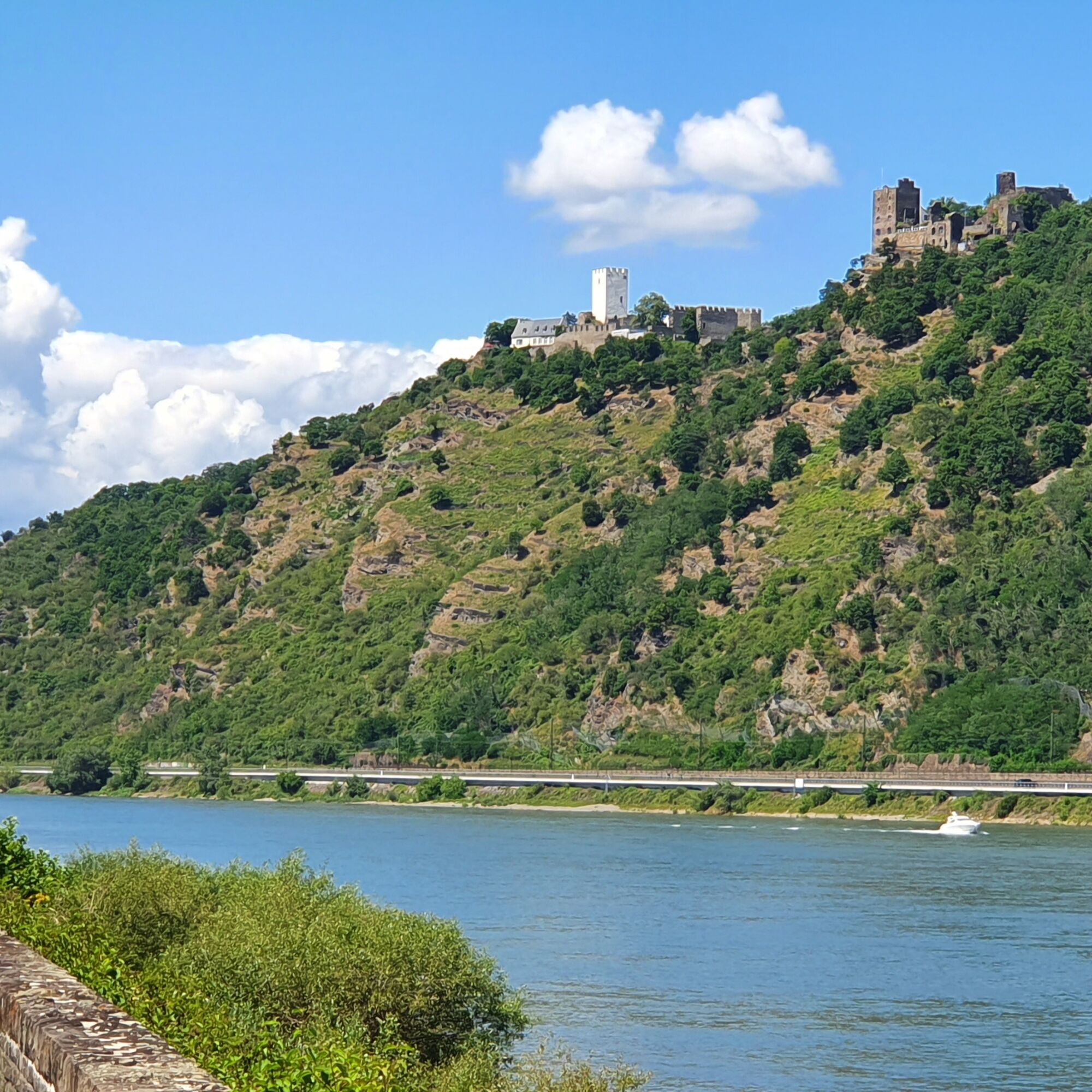
You cycle on the left bank of the Rhine and enjoy the view of the Loreley rock opposite and the castles of Katz and Maus. Rheinfels Castle, the largest castle complex on the Middle Rhine, is located above the small Rhine town of St. Goar, which is reached after about 6 km. From here you can enjoy the magnificent view of the valley. Continue along the Rhine cycle path to Boppard, the pearl on the Rhine. The Hunsrück Railway takes you back over 2 viaducts and through 5 tunnels on one of the steepest railway lines in Germany.


The tour is signposted, but there is no dedicated trail logo.
Tak
- Helmet- Cell phone with full battery- Cash, ID card- Navigation device, maps- Air pump / compressed air cartridge- Spare inner tube- Sufficient drinks- Energy bar / gel- Wind / rain jacket
Observe the traffic rules, pay attention to other road users and ride at an appropriate speed, especially on descents. Be considerate of other cyclists and pedestrians.
Via the A 61 exit Emmelshausen
Hunsrückbahn : Boppard - Emmelshausen
Tourist-Info in the ZAP, Rhein-Mosel-Str. 45, 56281 Emmelshausen
3
Round tour: Start possible in any adjoining town.
Popularne wycieczki w okolicy
- 4,6
Traumschleife Ehrbachklamm
ciężkiWędrówka 11,0 km - 4,7
Langhalsweg Osterspai
średniWędrówka 7,50 km - 5,0
Traumschleife Mittelrhein
ciężkiWędrówka 14,7 km - 5,0
Kaub - Burg Herzogenstein - Spitznack - Hasenberg
ciężkidługodystansowy szlak pieszy 22,1 km - 5,0
Panorama Trail St. Goar
średniWędrówka 8,47 km - 4,8
Dommershausen - Steffenshof - Schmausemühle - Beltheim
ciężkiWędrówka 10,4 km - 5,0
Traumschleifchen Pfalzblick
światłoWędrówka 5,68 km - 5,0
Dream Loop Upper Baybach Valley
ciężkiWędrówka 15,6 km Pfalzfeld - Geierlay suspension bridge
średniJazda na rowerze 28,1 km- 4,5
Boppard - Restaurant Cafe Vierseenblick - GedeonsEck
ciężkiWędrówka 4,99 km
Wędrówki i tropienie


Nie przegap ofert i inspiracji na następne wakacje
Twój adres e-mail została dodana do listy mailingowej.