


Ferry round trip to Bad Hönningen and back
Poziom trudności: 2
The route begins at the spa park in Bad Neuenahr-Ahrweiler. From here, the route follows the detour of the Ahr Cycle Path to Remagen Kripp. Then take the ferry to the right bank of the Rhine to Linz am...
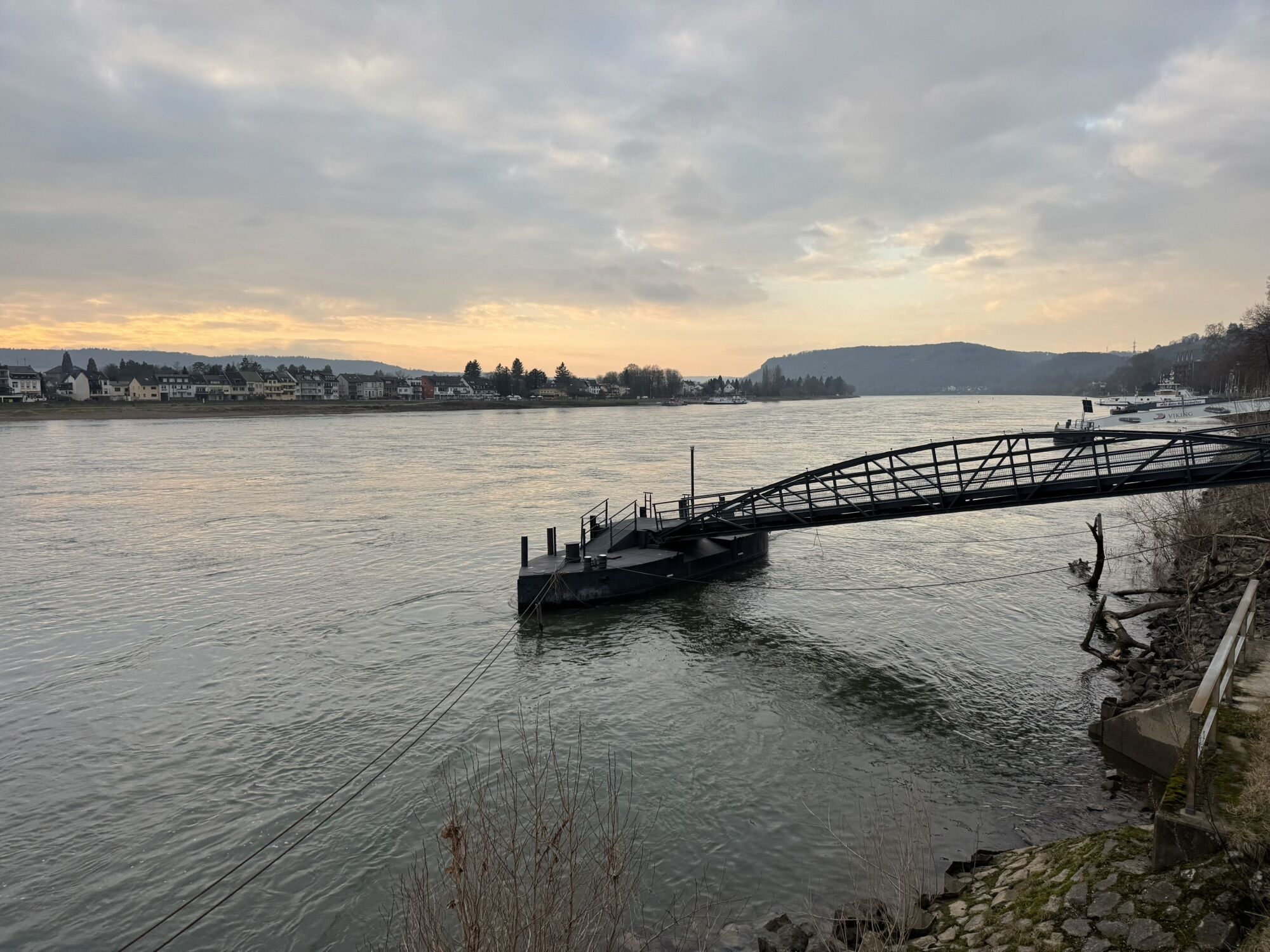
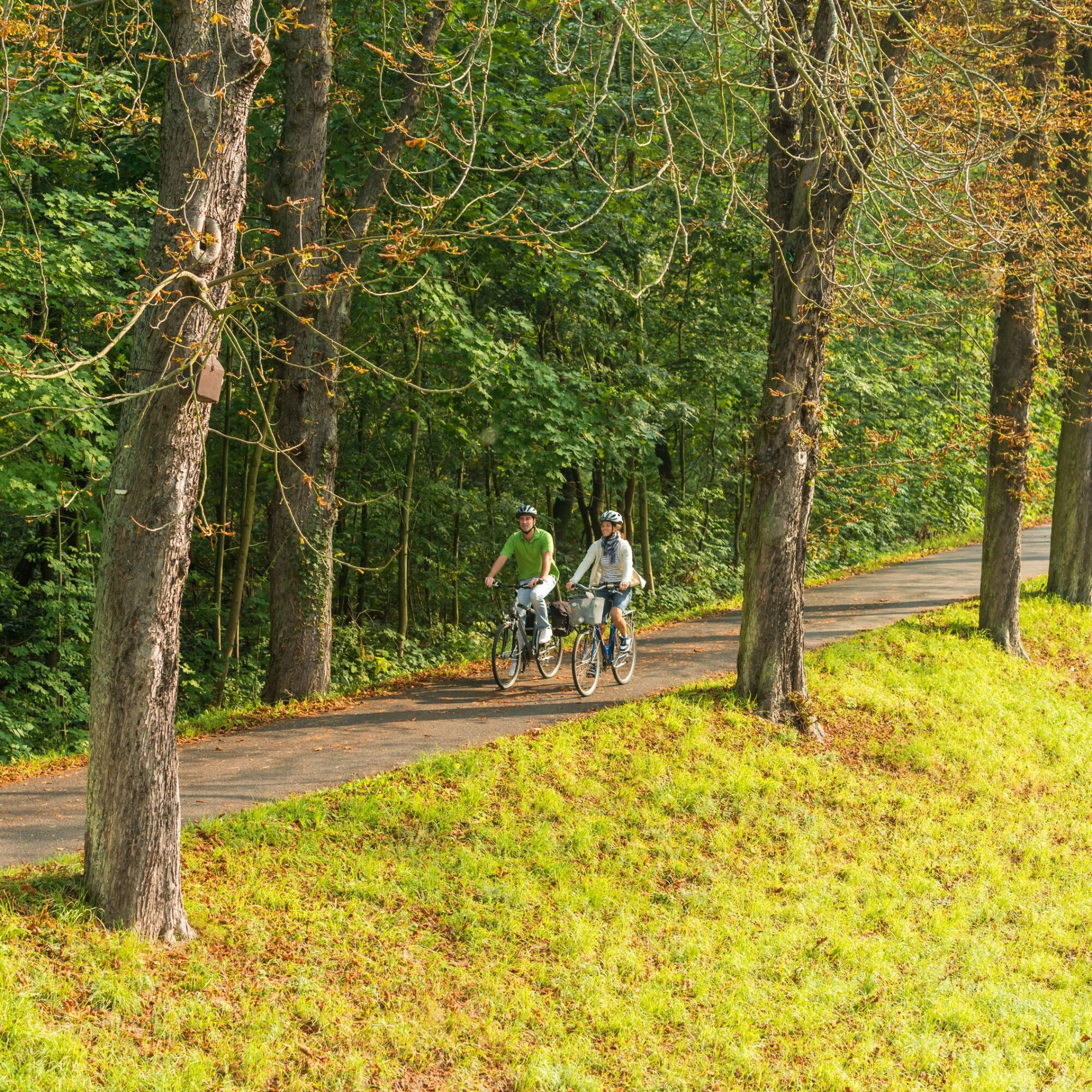
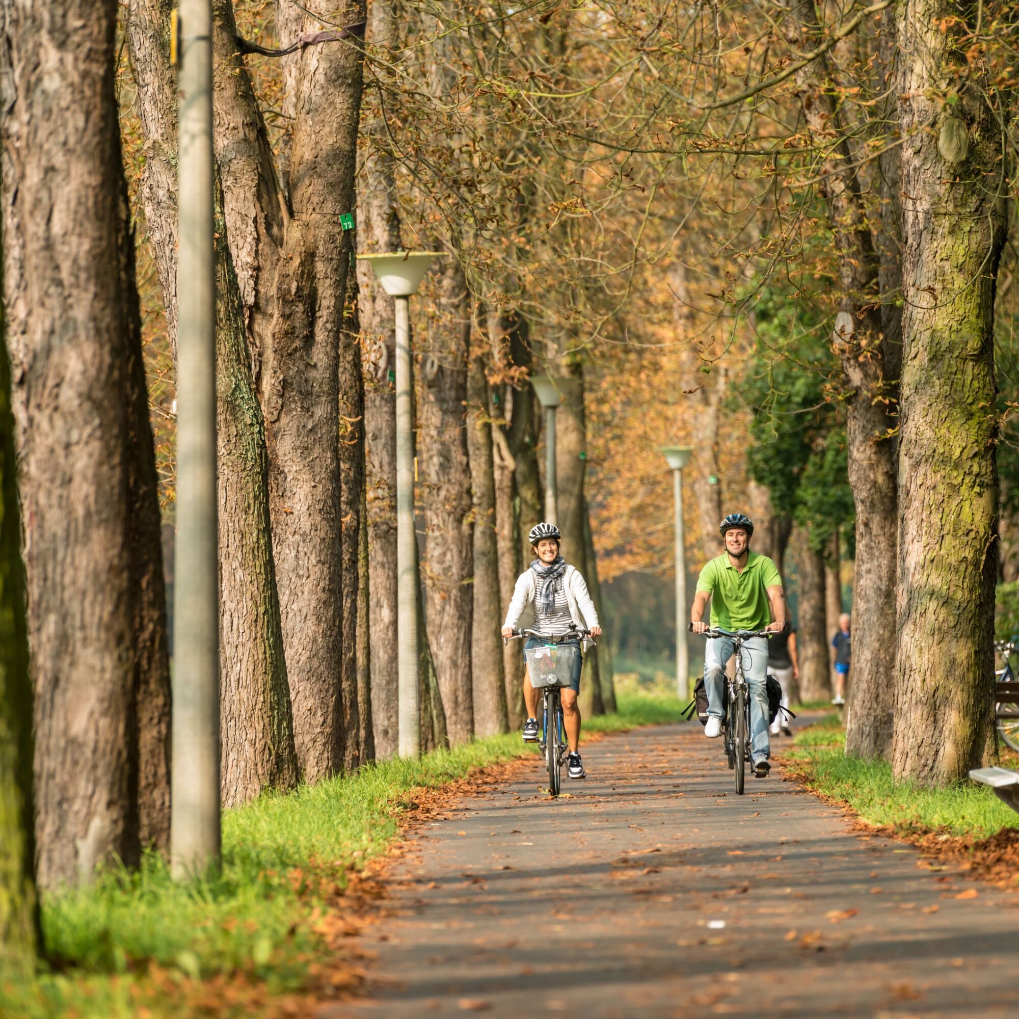
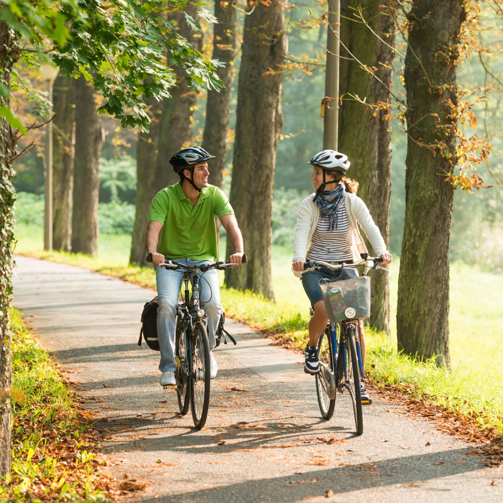
The route begins at the spa park in Bad Neuenahr-Ahrweiler. From here, the route follows the detour of the Ahr Cycle Path to Remagen Kripp. Then take the ferry to the right bank of the Rhine to Linz am Rhein. A visit to the historic marketplace is worthwhile here. Continuing on the Rhine Cycle Path, the route goes to Bad Hönningen. With the ferry, you return to the left bank side to Bad Breisig. Passing the spa park and via the Rhine promenade, the route follows the Rhine Cycle Path back to Sinzig. Shortly before the estuary area, the Ahr Cycle Path branches off towards Sinzig. Once through the town, the route follows Kölner Straße to the other side of the Ahr and then via the detour of the Ahr Cycle Path back to Bad Neuenahr.
First, the route follows the detour of the Ahr Cycle Path to Sinzig. On the other side of the Rhine, it goes along the Rhine Cycle Path to the ferry to Bad Hönningen. From here, you take the ferry back to the left bank side to Bad Breisig and then return via the Rhine Cycle Path to Sinzig. Then it continues along the Ahr Cycle Path to Bad Neuenahr.
Bring enough drinks
Wearing a bicycle helmet is recommended.
There is no winter service on the Ahr Cycle Path.
Coming from the north via the A61 to the Bad Neuenahr-Ahrweiler motorway interchange. The short feeder motorway A 573 leads to Bad Neuenahr, Ahrweiler and the other districts.
Coming from the south, leave the motorway at the Sinzig / Bad Neuenahr exit and then follow the feeder motorway A 571 as well as the bypass road B 266 towards Bad Neuenahr-Ahrweiler.
Take the train to Bad Neuenahr station.
For parking, the parking garage on Landgrafenstraße can be used.
2
Ahrtal-Tourismus Bad Neuenahr-Ahrweiler e.V.
Oberstraße 8
53474 Bad Neuenahr-Ahrweiler
Tel.: 02641/91710
E-mail: info@ahrtal.de
More information at www.ahrtal.de
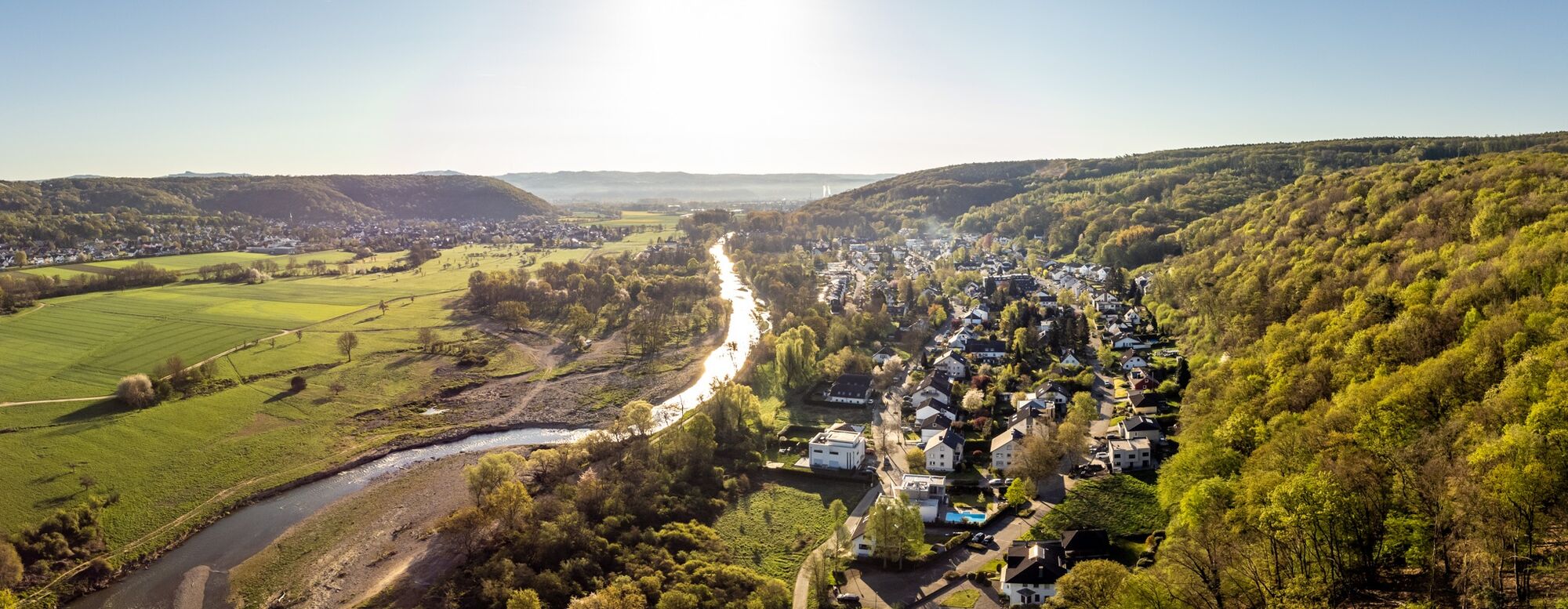
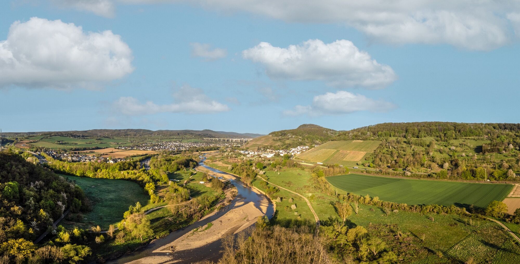
The Barbarossa town of Sinzig offers many opportunities for a culinary conclusion or a small refreshment. Additionally, a detour to the Ahr estuary nature reserve is recommended here.
Popularne wycieczki w okolicy
-
4,6
Drachenfängerrunde
średniWędrówka 11,8 km -
4,2
Andernach - Trasshöhle - Teufelsknochen - Siebengebirgsblick
średniWędrówka 12,6 km -
5,0
Rundweg Breiberge, Logebachtal, Tretschbachtal
Wędrówka 19,8 km -
4,0
Siebengebirge über 7 Berge
średniTrailrunning 24,2 km -
13-Gipfel-Tour im Siebengebirge
średniWędrówka 19,4 km -
4,9
Sieben auf einen Streich (Skiclub Bad Honnef, GeneralAnzeiger Bonn)
średniWędrówka 24,5 km -
5,0
Round route Bad Neuenahr No. 5 - Through the Ramersbach Forest
średniWędrówka 9,31 km -
Weinwanderung Dernau nach Ahrweiler
Wędrówka 23,4 km -
4,7
Rundwanderung Rech / Steinerberg
średniWędrówka 14,2 km -
5,0
Königswinter, Drachenfels, Löwenburg, Tretschbachtal, Rommersdorf
średniWędrówka 12,6 km
Wędrówki i tropienie


Nie przegap ofert i inspiracji na następne wakacje
Twój adres e-mail została dodana do listy mailingowej.