






Moselsteig stage 16: Neef – Ediger-Eller

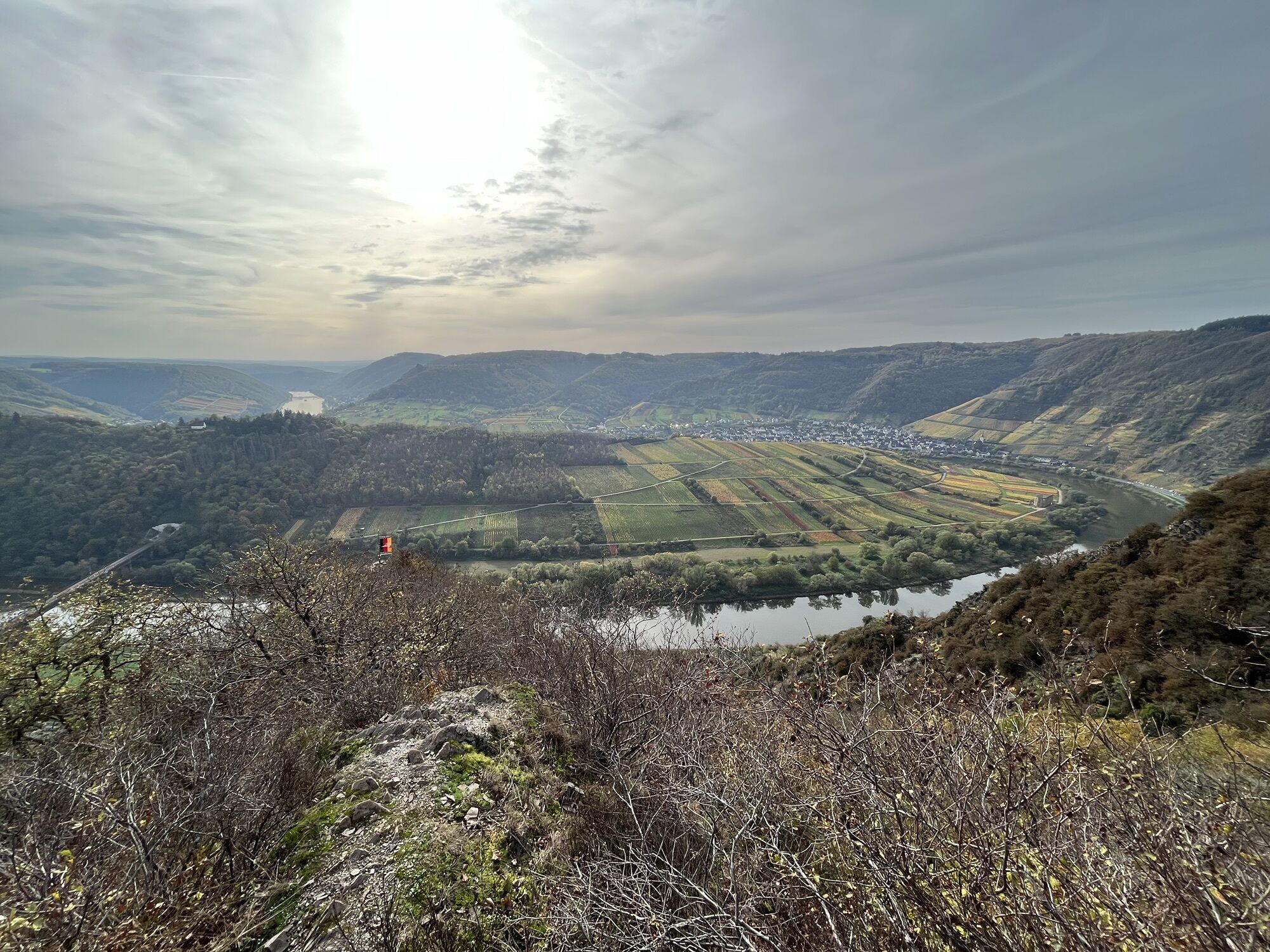
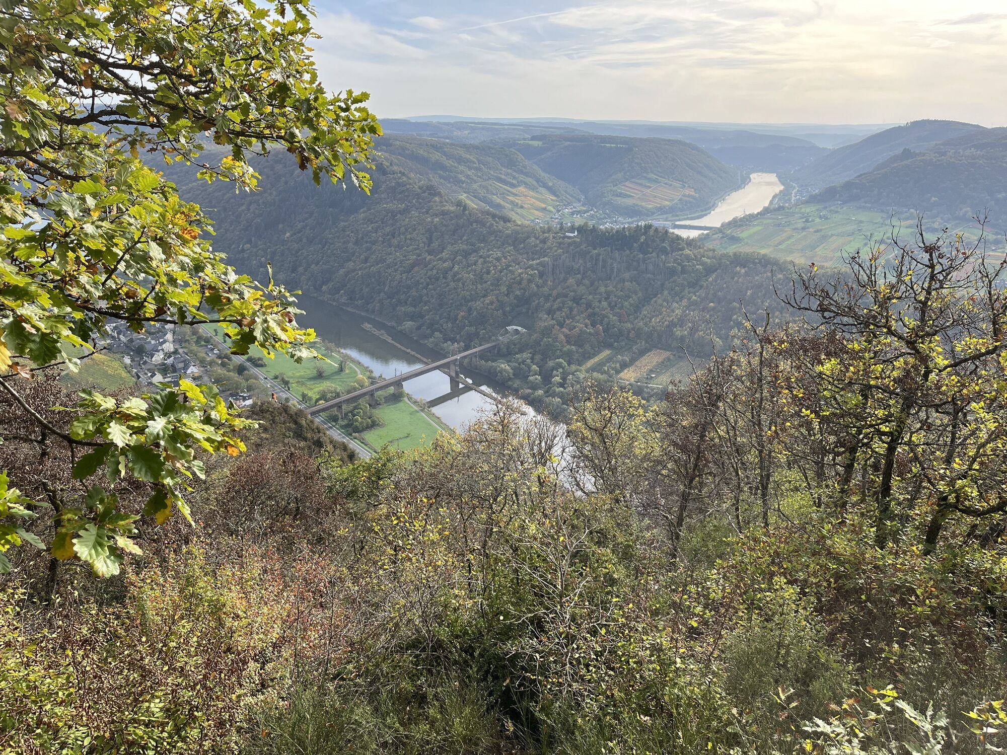
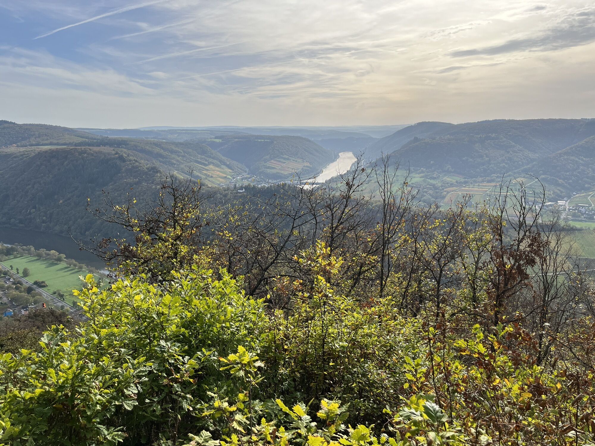
The section between Neef and Ediger-Eller is the shortest of the 24 routes – but it certainly has it all: The Moselsteig leads here directly into the steepest vineyard in Europe, the Bremmer Calmont. The...
The section between Neef and Ediger-Eller is the shortest of the 24 routes – but it certainly has it all: The Moselsteig leads here directly into the steepest vineyard in Europe, the Bremmer Calmont. The serpentine ascent is a challenge, at the end of which a viewing platform awaits, offering one of the most beautiful views of the entire Moselsteig. A few steps further, your gaze is directed to the ruin of Stuben Monastery located in the valley and the legendary Vierseenblick – a division of the Mosel course into four separate sections. For mountain-hardened hikers, there is also the possibility to take on the adventure of the Calmont via ferrata and cross the steep slopes of the ridge via steps or ladders. At the end of the stage, it goes over an idyllic vineyard path to Ediger-Eller.

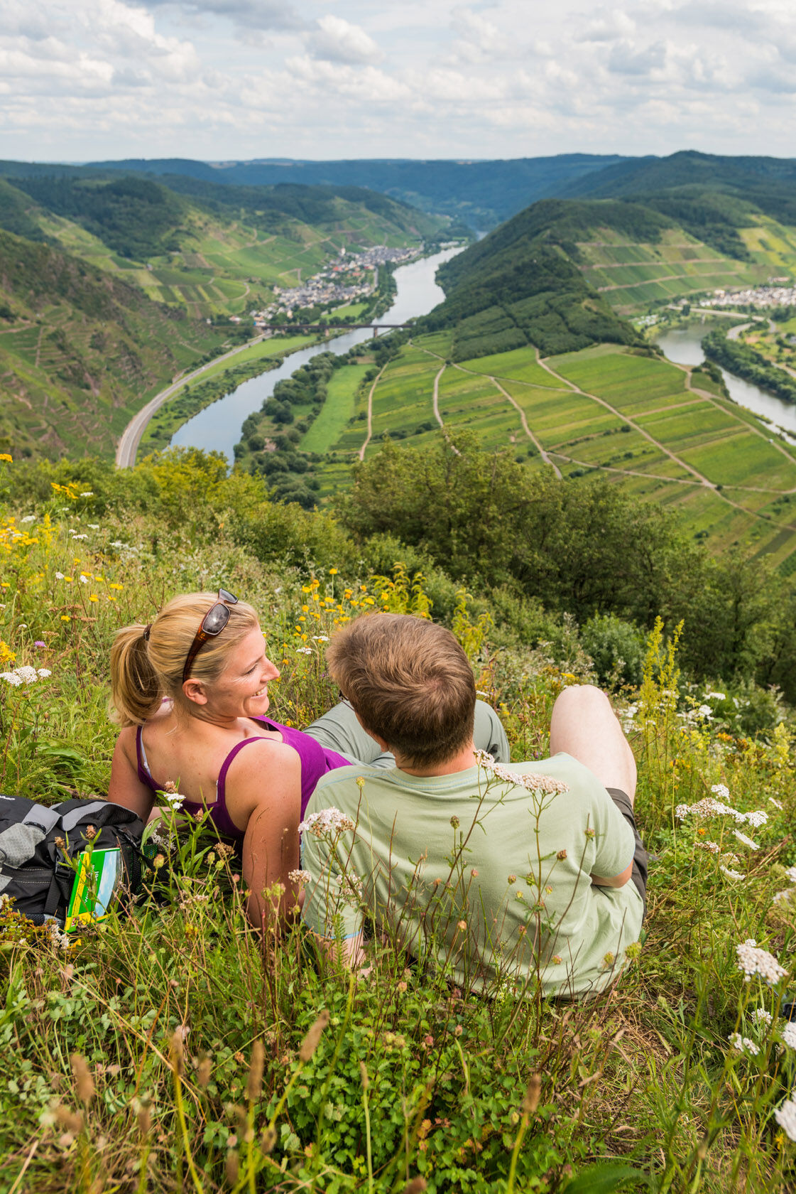
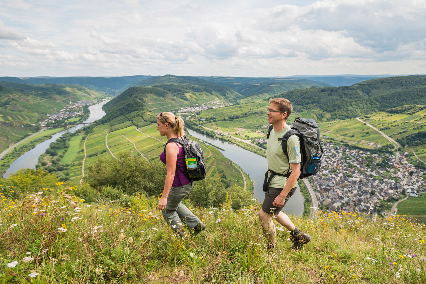

Starting at Petersbergstraße. Just a few meters from the train station, you start this short but demanding Moselsteig stage in the center of Neef. Quickly, the outskirts and Mosel bridge are reached. From the bridge, you can already catch a glance towards Petersberg and the summit cross Neef – you will experience these points from various perspectives. Besides magnificent views from the "Eulenköpfchen" of the Neefer Petersberg over the entire Mosel loop and the opposite Calmont, it offers, with its wooded mountain summit, the moist banks of the Mosel and the vineyard "Frauenberg", a diversity of habitats for flora and fauna. There are also several cultural and historical sights to discover there. The Neefer Petersberg is therefore considered a hotspot of biological diversity (https://www.lebendige-moselweinberge.de/leuchtpunkte.html). The hotspot is signposted on site. You can access further information by scanning a QR code. The following link https://www.youtube.com/watch?v=nB738JrxQj0 shows you a great video about the diversity of the Neefer Petersberg.
After arriving on the other side of the Mosel, the path approaches the outskirts of Bremm through gardens and vineyards. If you want to get supplies, you can reach the town via the marked access path – and later connect again to the Moselsteig towards Ediger-Eller via another access path. For hikers on the main path, it goes slightly uphill through vineyards close to the town until crossing a country road. From here begins the actual ascent to the Calmont summit cross.
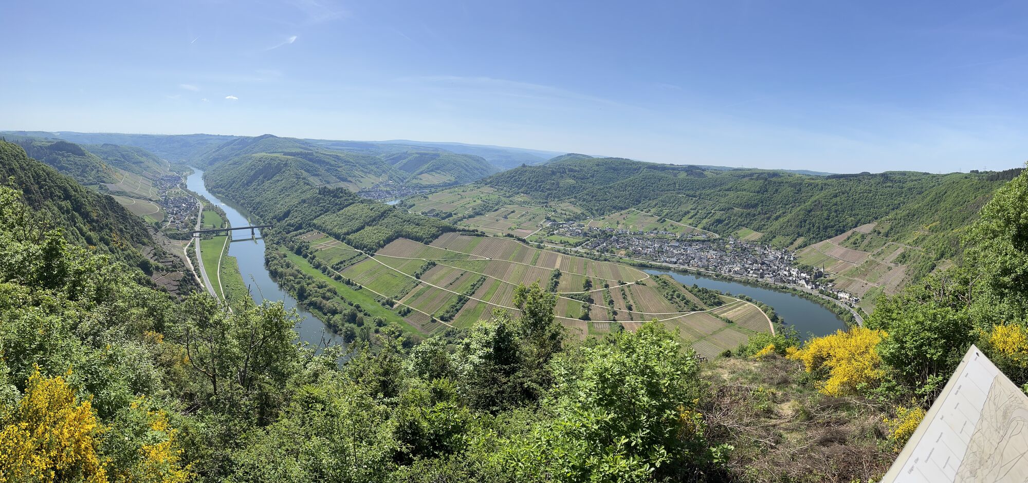
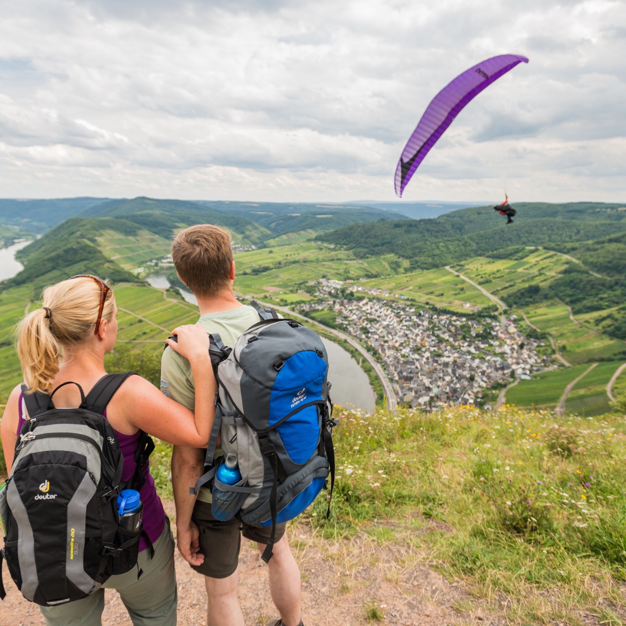
The path leads steeply uphill in switchbacks, soon accompanied by a Way of the Cross. Steeply uphill you reach the Bremm mountain chapel. From here, the gradient eases a little. A bit more on a path, then the trail becomes a little wider and leads through the steep, wooded mountainside. At a junction on the nearly 400 m high Schneeberg, the rest area is just right. For a short section, the path leads over the open plateau before the Moselsteig at the highest point of the stage dives into the forest. Soon the ridge and thus the summit cross on Calmont are reached. The view from here is definitely one of the most beautiful on the entire Moselsteig! The entire route of today's stage can be surveyed. In good flying weather, you can watch paragliders and hang gliders, and there is also a wine tavern in season (observe opening hours).
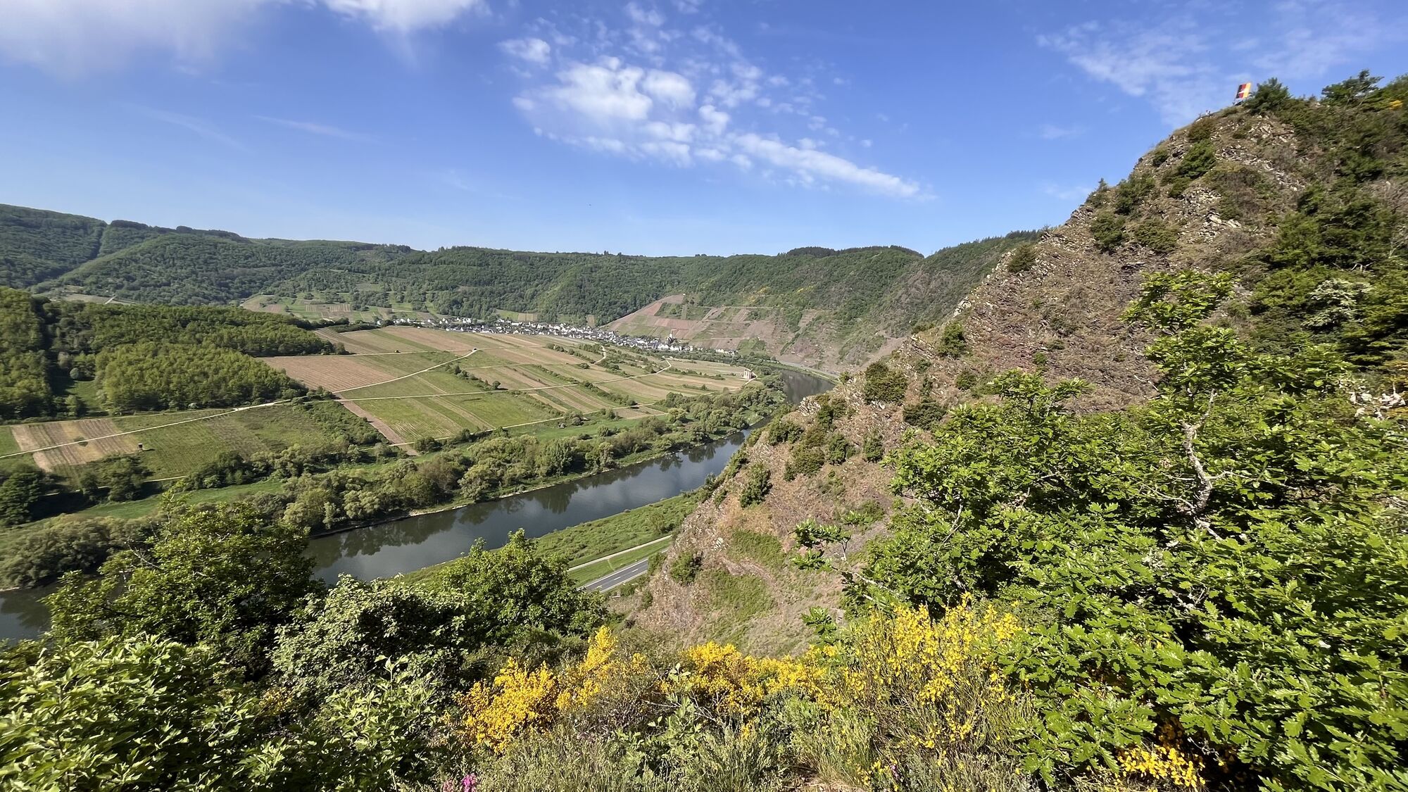
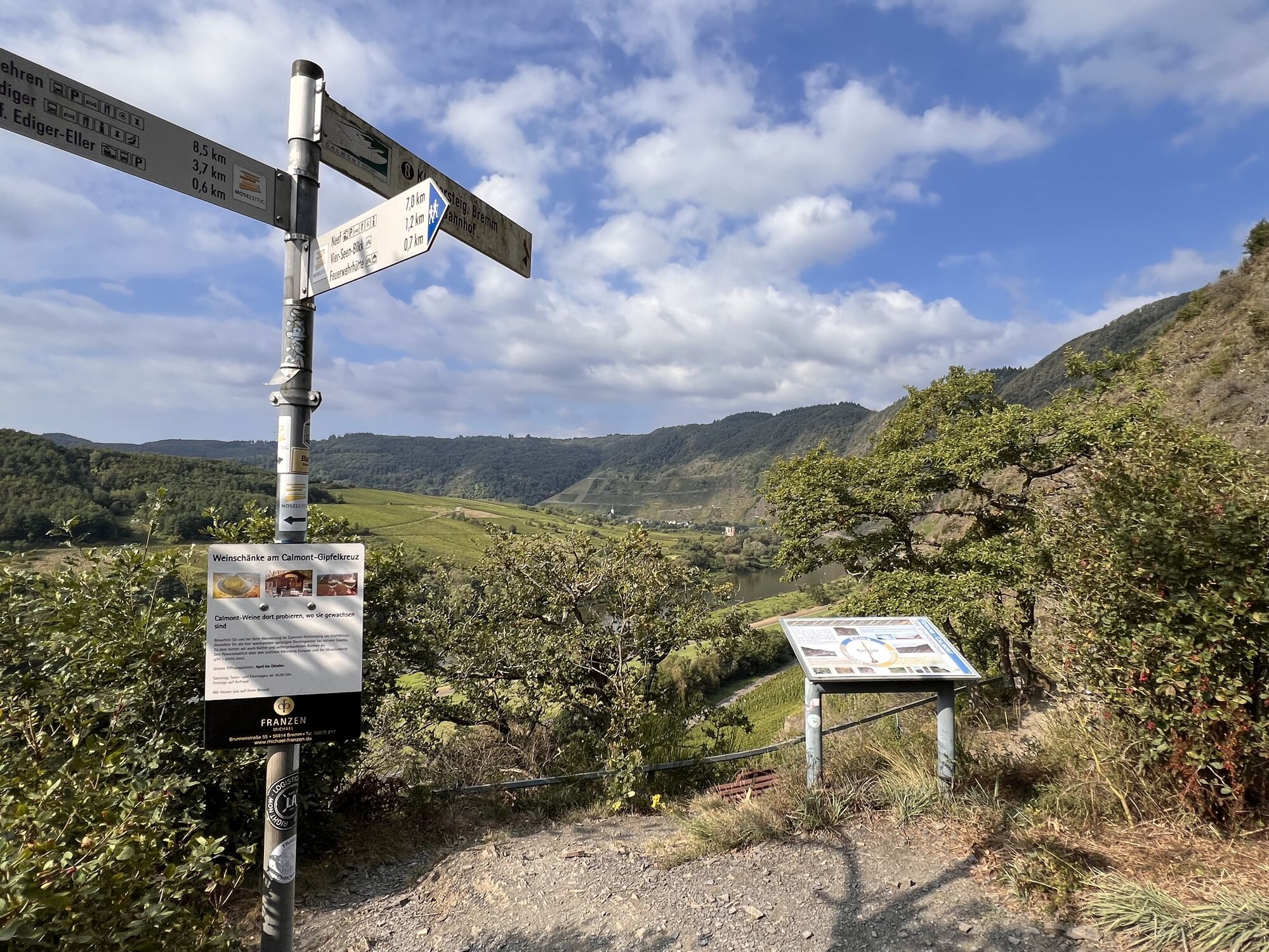
The Moselsteig now leads over the summit ridge of Calmont, which drops steeply on both sides: to the Mosel valley on one side, into the Ellerbach valley on the other. After a small hollow, you come to a second plateau where a reconstruction of a Roman mountain sanctuary is found. At the edge of the slope in front of the structure, you have another great view. Especially the ruin of Stuben monastery lying in the Mosel loop attracts the gaze. On the following path section, you should make a small detour to the Vierseenblick viewpoint: the relief and vegetation divide the Mosel from up here into four separate sections, so it seems you are looking at four lakes. Through low forest, the path now leads you further without significant altitude differences to the fire station hut. From here too, exactly opposite the Petersberg, you have a beautiful view.
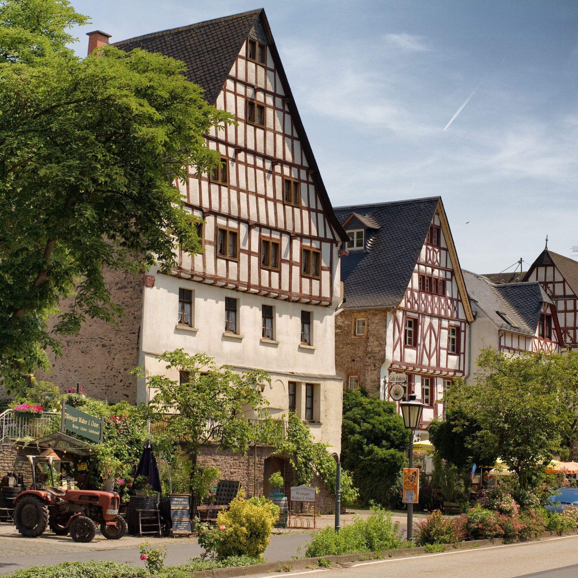
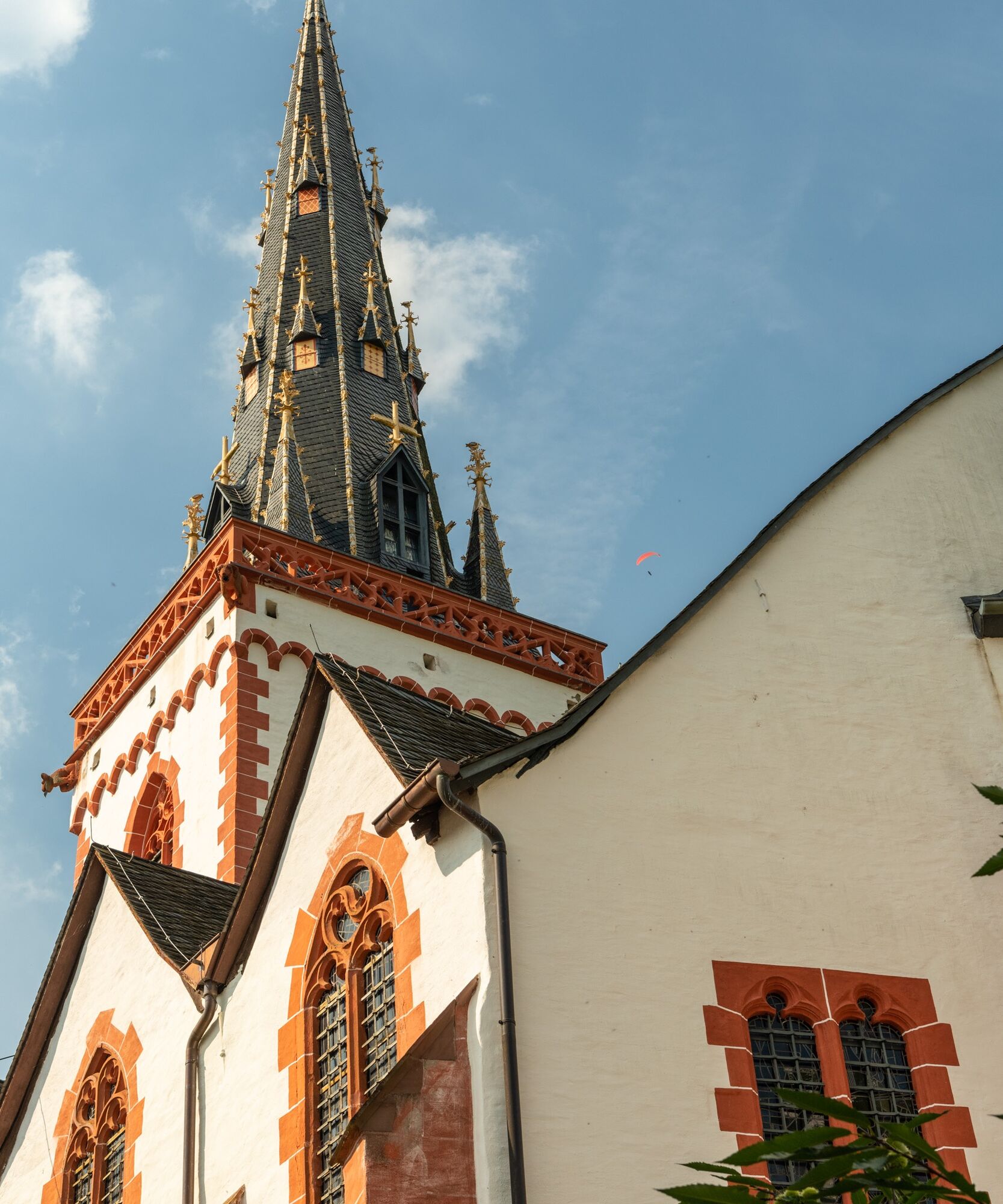
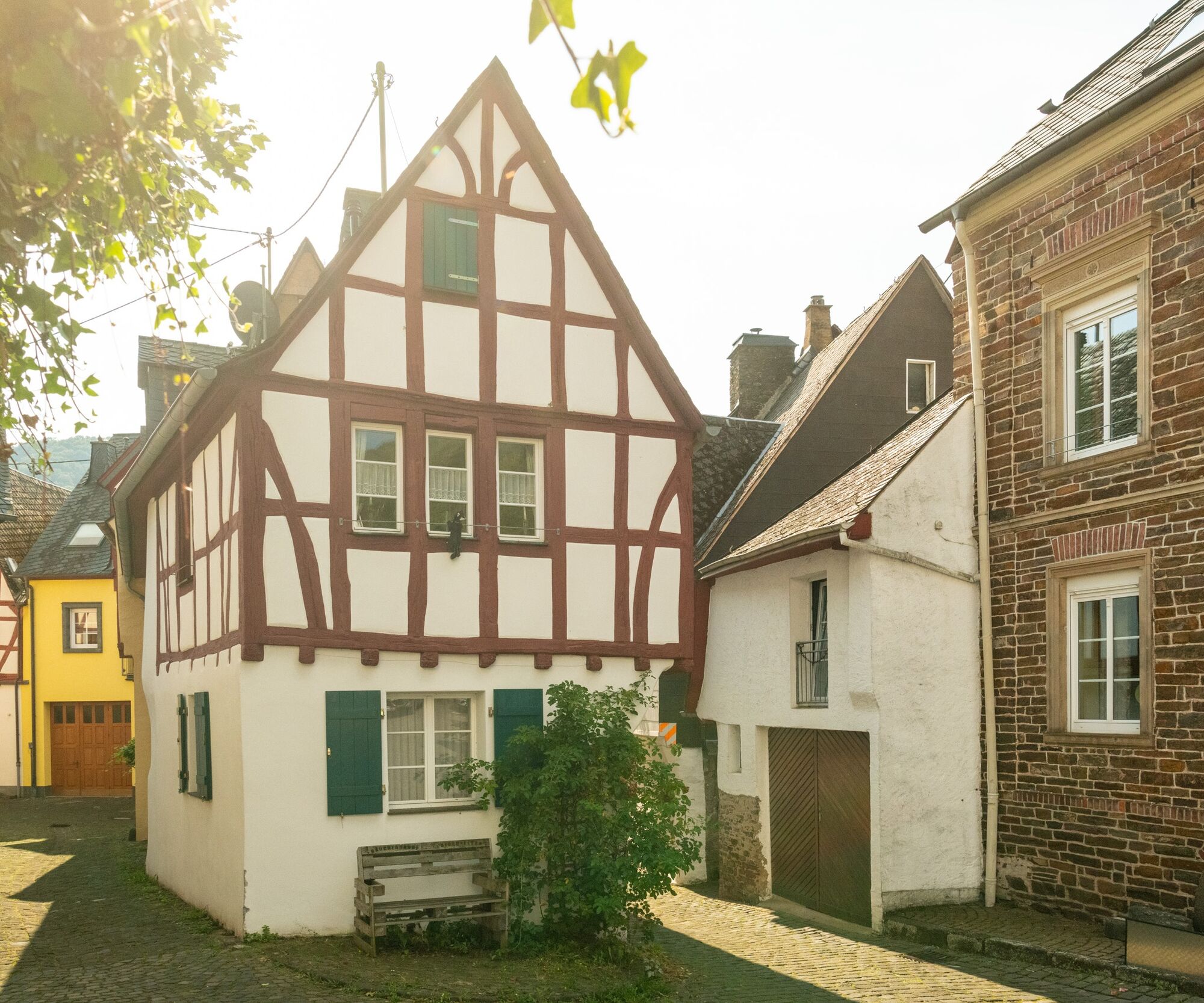
The following descent requires your increased attention (and surefootedness)! It goes steeply downhill. First through low oak forest, then the surroundings become rockier and more exposed. At the Galgenlay hut, you have mastered the most demanding section. Climbing enthusiasts can enter the Calmont via the via ferrata here. It continues descending several altitude meters on a narrow shale path. The path runs parallel to the railway tracks and leads under the railway bridge. From here, you can also reach Ediger-Eller train station via an access path. The Moselsteig continues into the town center of Eller. Through narrow alleys, you pass a crucifixion display, a chapel, and a church, exiting the town again on the old paved road. On the steep road, you reach the vineyards between the two districts Ediger and Eller. The descent to the stage endpoint Ediger is then again somewhat demanding. Right next to a vineyard, a switchback path leads down to the lower vineyard path. From here branches the access path to the center of Ediger on the Mosel riverbank, where you also find the tourist information and a bus stop.
Tak
Tak
sturdy footwear
weather-appropriate, functional hiking clothing
rucksack provisions
Starting point: Neef via B 49, between St. Aldegund and Bremm via the Mosel bridge
End point: Ediger-Eller via B49 between Alf and Cochem
You can reach the stage towns Neef (train station) and Ediger-Eller (train station) by train (RB 81).
There are regular connections. Please note that during school holidays in Rhineland-Palatinate/Saarland, weekends, and public holidays, the frequency may be reduced! Please check the current daily timetable on the website of the Trier Region Transport Association (VRT):
Neef: no parking available at the station; sufficient parking spaces at the Mosel riverbank
Ediger-Eller: parking along B 49/Mosel riverbank
Tak
Mosellandtouristik GmbH
Kordelweg 1, 54470 Bernkastel-Kues; Phone: +49 (0)6531/97330
Zeller Land Tourismus GmbH, Tourist Information
Balduinstraße 44, 56856 Zell (Mosel); Phone: +49 (0)6542/96220
Tourist-Information Ferienland Cochem
Endertplatz 1, 56812 Cochem; Phone: +49 (0)2671/60040

Popularne wycieczki w okolicy
-
5,0
Calmonter Felsensteig
średniWędrówka 6,31 km -
4,2
Moselsteig stage 14: Reil – Zell (Mosel)
światłodługodystansowy szlak pieszy 12,4 km -
4,0
Moselsteig stage 18: Beilstein – Cochem
średnidługodystansowy szlak pieszy 14,4 km -
4,5
Moselsteig stage 12: Ürzig – Traben-Trarbach
średnidługodystansowy szlak pieszy 15,1 km -
5,0
Moselsteig stage 13: Traben-Trarbach – Reil
średnidługodystansowy szlak pieszy 15,3 km -
4,0
Star route around Cochem - Route 1: Circular route on the Mosel Cycle Route via Bremm to Cochem
światłoJazda na rowerze 53,4 km -
5,0
Moselsteig stage 15: Zell (Mosel) – Neef
ciężkidługodystansowy szlak pieszy 19,9 km -
3,8
Alf - Kanonenbahn - Prinzenkopfturm
światłoWędrówka 8,65 km -
4,5
Kennfus Bad Bertrich Eichenblattweg
ciężkiWędrówka 13,8 km -
4,0
Moselsteig stage 17: Ediger-Eller – Beilstein
średnidługodystansowy szlak pieszy 16,0 km
Wędrówki i tropienie


Nie przegap ofert i inspiracji na następne wakacje
Twój adres e-mail została dodana do listy mailingowej.





