
Le tour du Mont Boron
światło
Pobierz tę trasę na swój telefon komórkowy
Le tour du Mont Boron
światło
Wędrówka
5,13
km
Zeskanuj kod QR i rozpocznij nawigację w aplikacji bergfex.


Wędrówki i tropienie





Le tour du Mont Boron
światło
Odległość
5,13
km
Czas trwania
01:45
h
Ascent
166
hm
Poziom morza
4 -
174
m

Nawiguj po trasie w aplikacji
Zainstaluj aplikację za darmo i śledź trasę dzięki nawigacji GPS i funkcji śledzenia.
Skorzystaj już teraz z funkcji „ bergfex ” w aplikacji
Zeskanuj kod QR za pomocą aparatu
Po zainstalowaniu aplikacji treść otworzy się od razu. Jeśli jeszcze nie masz tej aplikacji, zostaniesz przekierowany do strony, z której możesz ją bezpłatnie pobrać.
Ścieżka do pobrania
Le tour du Mont Boron
światło
Wędrówka
5,13
km
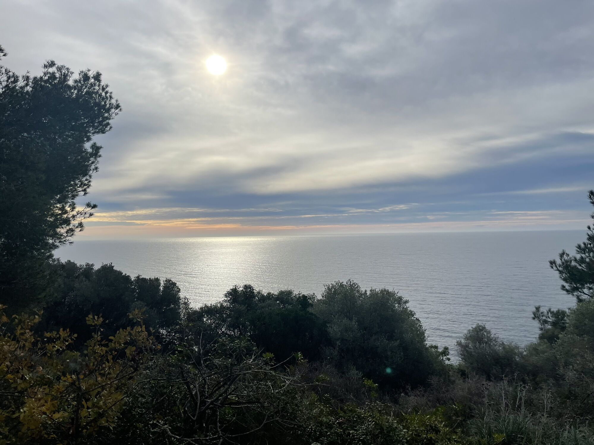
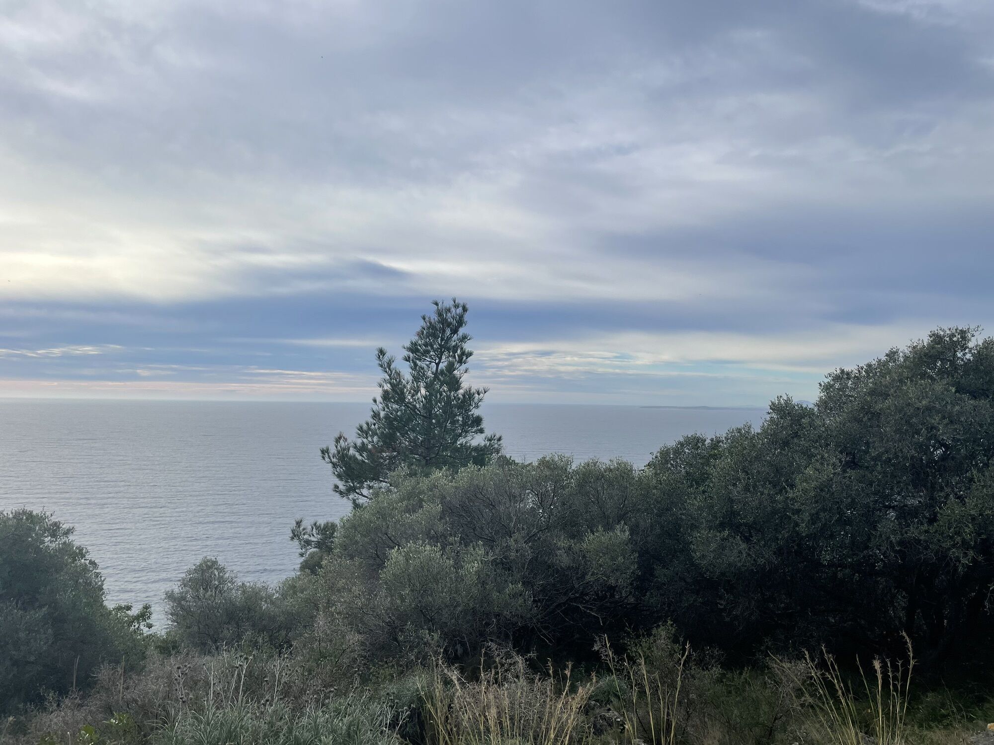
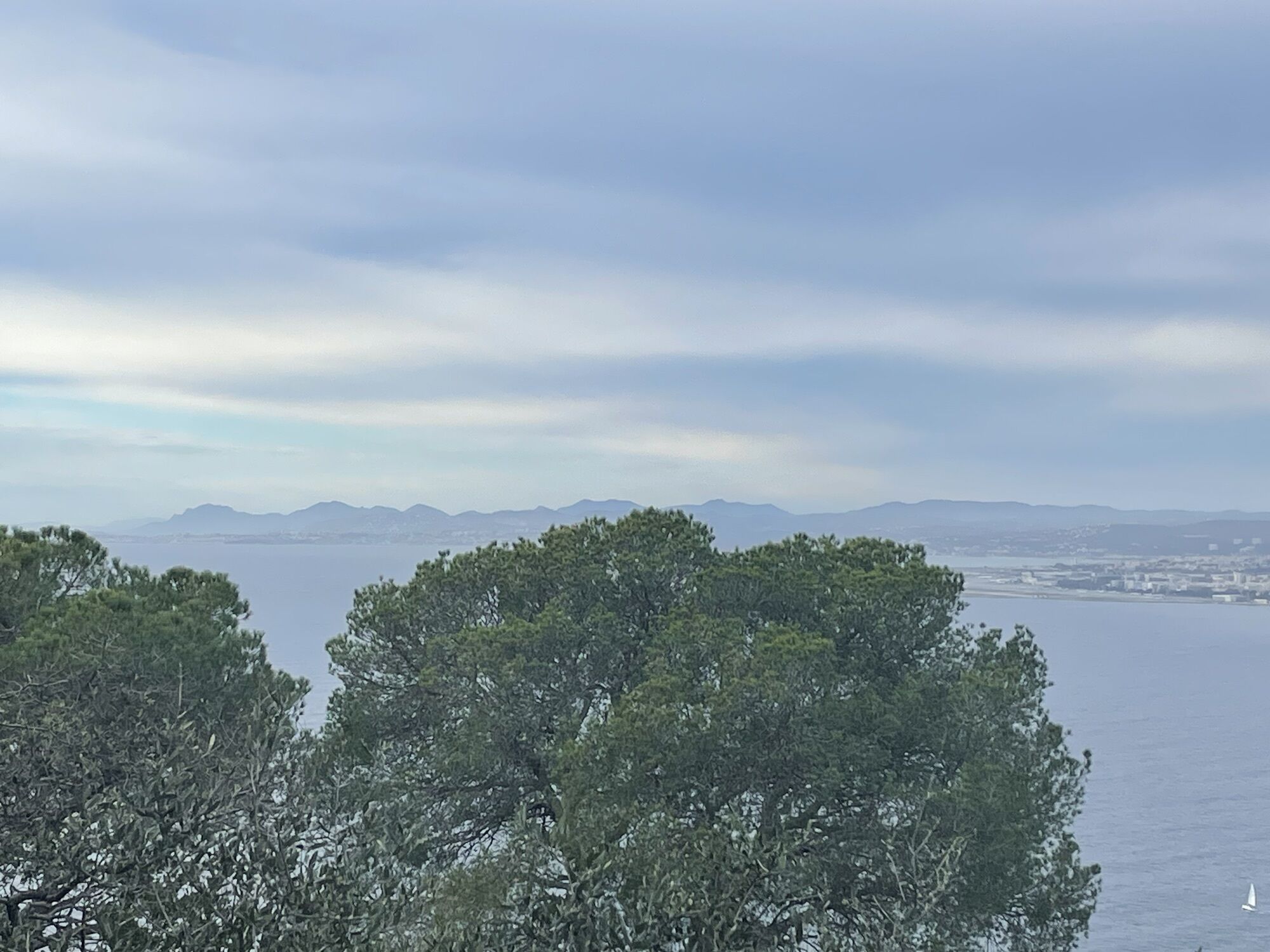
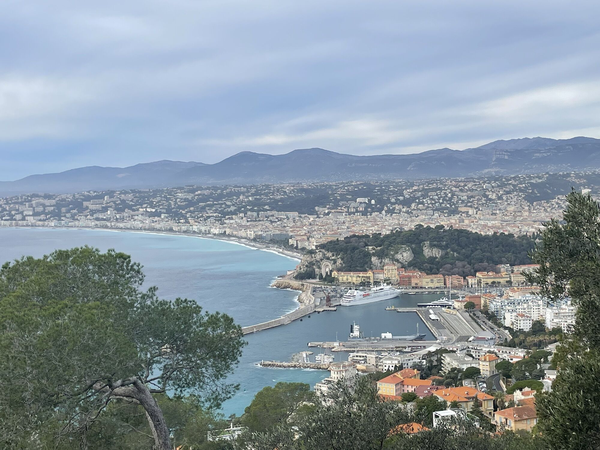
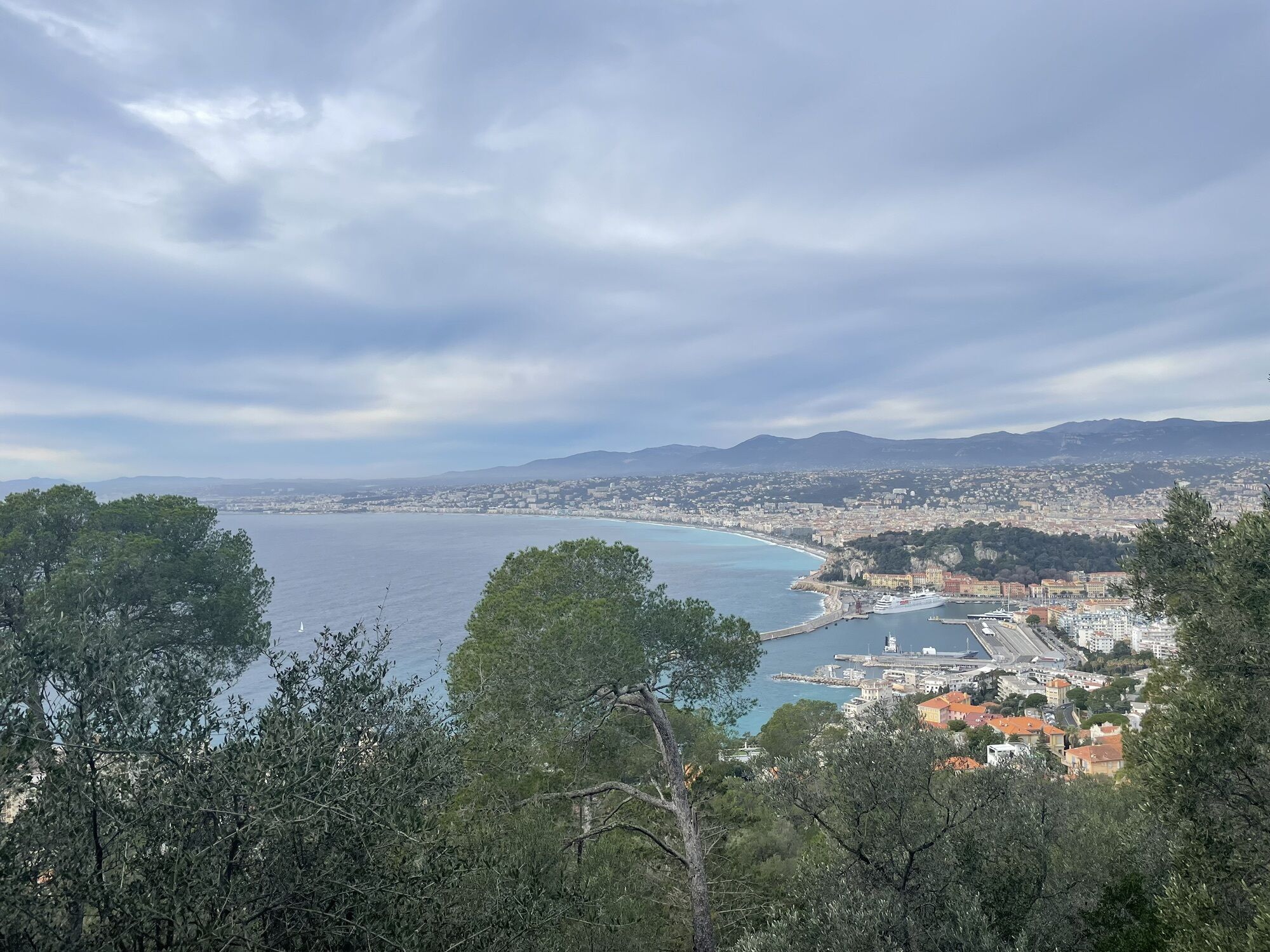
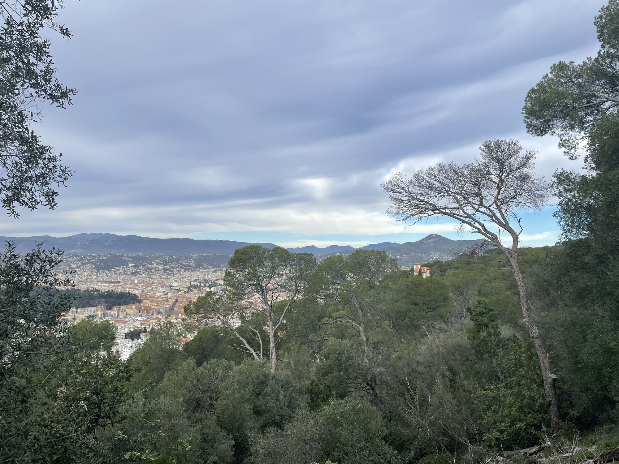
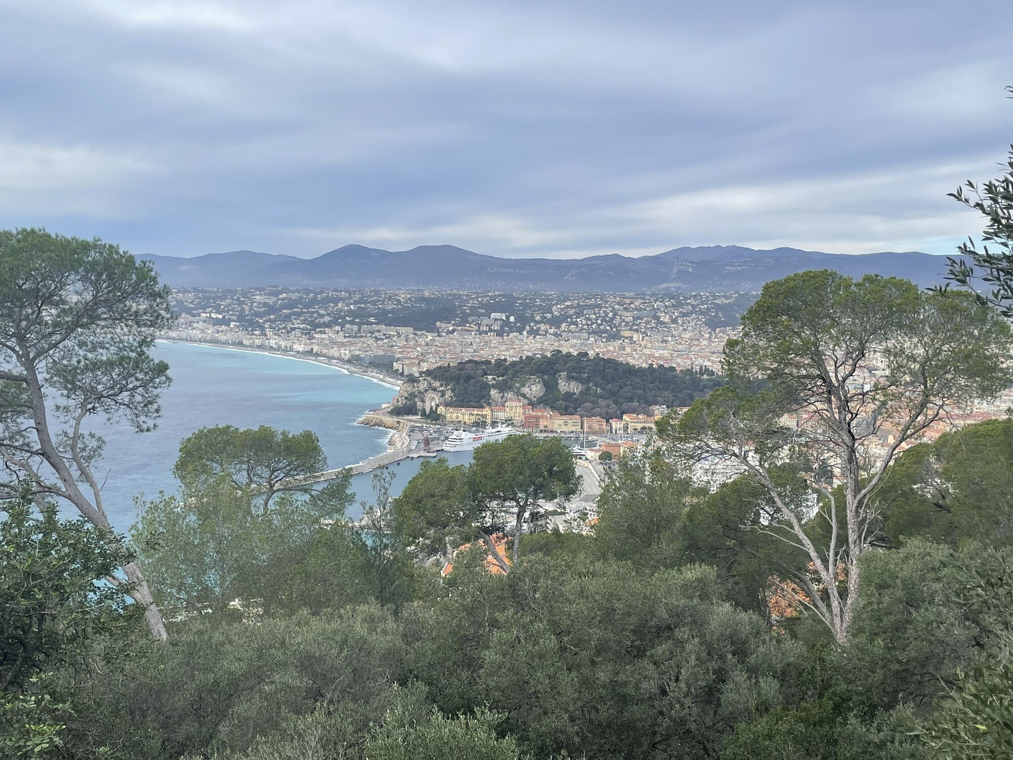
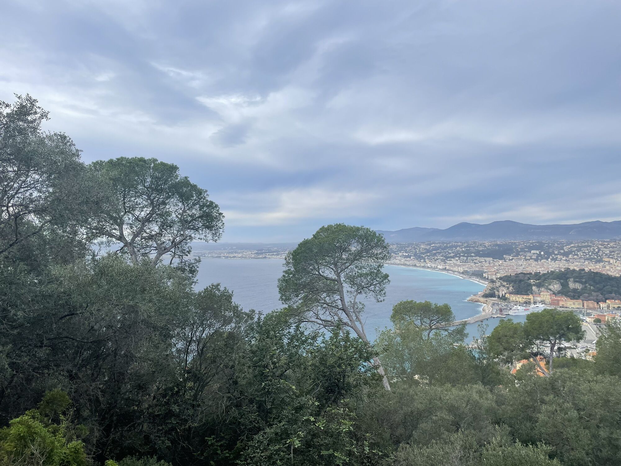
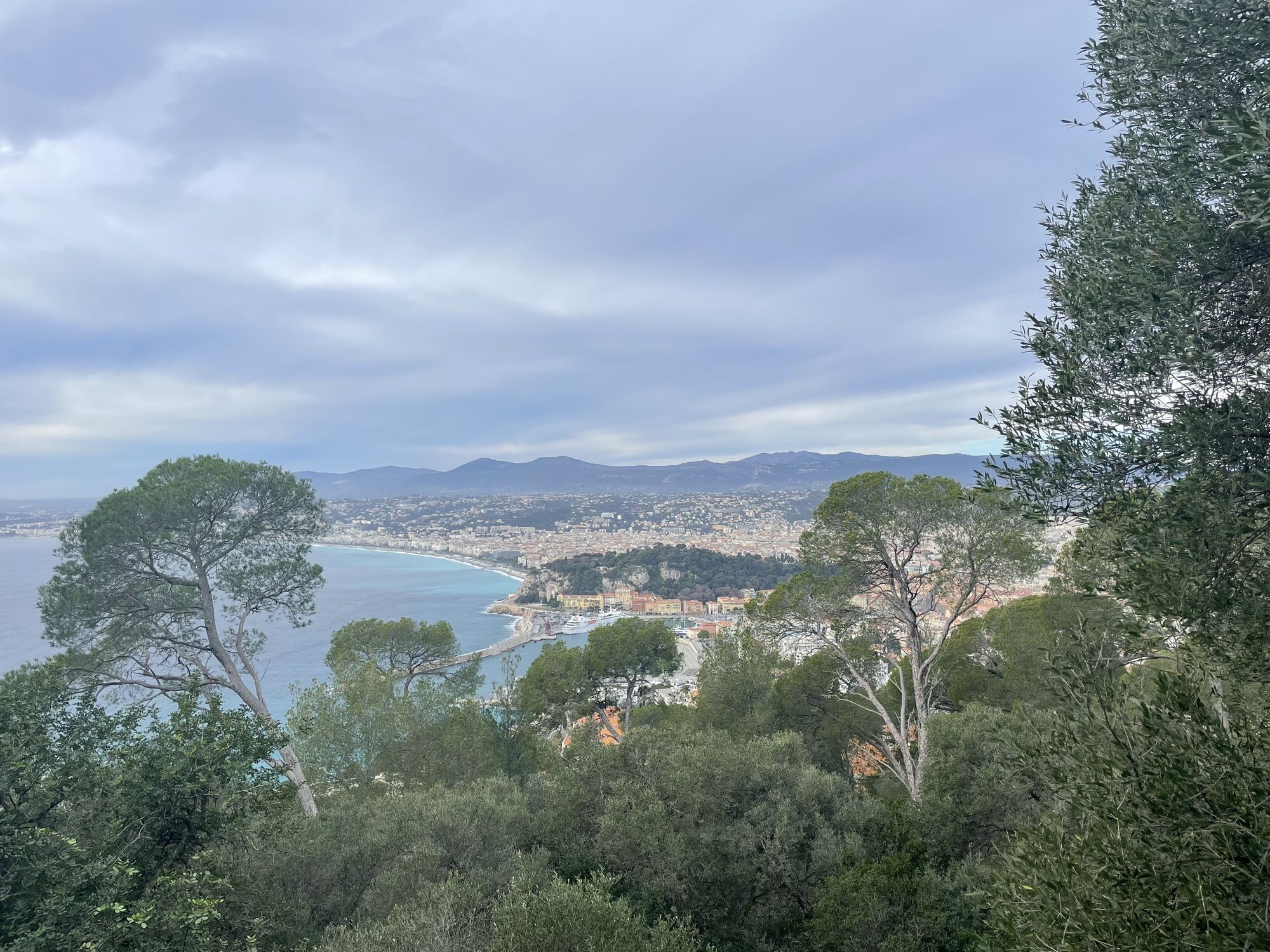
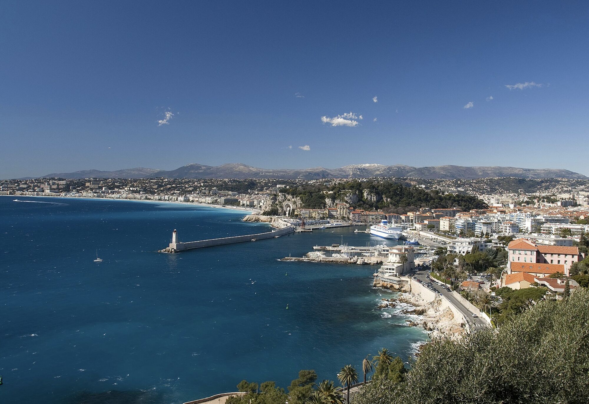
The area was undoubtedly the hunting ground for the first inhabitants of the region to come from the Terra-Amata cave, 400,000 years ago.
After being stripped bare in the Middle Ages to prevent Saracens...
Opis
The area was undoubtedly the hunting ground for the first inhabitants of the region to come from the Terra-Amata cave, 400,000 years ago.
After being stripped bare in the Middle Ages to prevent Saracens from hiding there, Mont Boron was reforested in the 1860s under the leadership of Mr. Demontzey, a water and forestry engineer. The park now covers 57 hectares, with 11 kilometers of landscaped footpaths.
After being stripped bare in the Middle Ages to prevent Saracens from hiding there, Mont Boron was reforested in the 1860s under the leadership of Mr. Demontzey, a water and forestry engineer. The park now covers 57 hectares, with 11 kilometers of landscaped footpaths.
Trasa
Nice
(6 m)
Miasto
0,0 km
Pizza du Mont Boron
(67 m)
Restauracja
1,6 km
Mont Boron
(192 m)
Szczyt
3,2 km
Trasa
Le tour du Mont Boron
światło
Wędrówka
5,13
km
Nice
(6 m)
Miasto
0,0 km
Séminaire Saint Paul
(18 m)
Miejsce kultu
0,4 km
Pizza du Mont Boron
(67 m)
Restauracja
1,6 km
Mont Boron
(192 m)
Szczyt
3,2 km
Autor
Dostarczone przez Metropole Nizza Côte d'Azur
Wycieczkę Le tour du Mont Boron zapewnia outdooractive.com.

Informacje o trasie
Wycieczka w jedną stronę
Tak
Nie ma jeszcze recenzji
Kamery internetowe z trasy

Wszystkie kamery internetowe na mapie
Zainstaluj aplikację za darmo i porównaj obrazy na żywo z kilku miejsc, zanim wyruszysz w drogę.
Skorzystaj już teraz z funkcji „ bergfex ” w aplikacji
Zeskanuj kod QR za pomocą aparatu
Po zainstalowaniu aplikacji treść otworzy się od razu. Jeśli jeszcze nie masz tej aplikacji, zostaniesz przekierowany do strony, z której możesz ją bezpłatnie pobrać.
Popularne wycieczki w okolicy
-
4,8
Tour du Cap-Ferrat
średniWędrówka 8,99 km -
4,0
Chemin de Nietzsche
światłoWędrówka 3,73 km -
5,0
Little hike at Eze: Fort de la Revère Circuit
światłoWędrówka 6,02 km -
Little hike in Nice: the Mont Boron route
światłoWędrówka 5,13 km -
Grande Randonnée® de Pays: Lou Camin Nissart
ciężkidługodystansowy szlak pieszy 44,7 km -
Nice - Aspremont / Pagarine Route (stage 1)
średniWędrówka 15,8 km -
4,0
Little hike in Aspremont: Mont Chauve circuit
światłoWędrówka 6,49 km -
5,0
Goldtoni - Alpenbogen A082 Drap-Nizza
światłodługodystansowy szlak pieszy 26,4 km -
FFC cycle route no. 1: Tour of Cap Ferrat
światłoDroga rowerowa 20,4 km -
4,7
Èze-sur-Mer - Mont Bastide - Èze - Èze-Bord-de-Mer
średniWędrówka 7,60 km
Wędrówki i tropienie

Ponad 550.000 propozycji wycieczek, szczegółowe mapy i intuicyjny planer tras sprawiają, że aplikacja jest niezbędna dla wszystkich entuzjastów przyrody.

Nie przegap ofert i inspiracji na następne wakacje
Zapisz się do newslettera
Błąd
Wystąpił błąd. Spróbuj ponownie.
Dziękujemy za rejestrację
Twój adres e-mail została dodana do listy mailingowej.
Wycieczki po całej Europie
Austria
Szwajcaria
Niemcy
Włochy
Słowenię
Francja
Holandia
Belgia
Polska
Liechtenstein
Czechy
Słowacja
Hiszpania
Chorwacja
Bośnia i Hercegowina
Luksemburg
Andorra
Portugalia
Islandia
Wielka Brytania
Irlandia
Grecja
Albania
Macedonia Północna
Malta
Norwegia
Czarnogóra
Mołdawia
Kosowo
Węgry
San Marino
Rumunia
Estonia
Łotwa
Białoruś
Cypr
Litwa
Serbia
Bułgaria
Monako
Dania
Szwecja
Finlandia





