


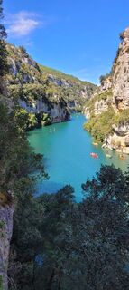
Hiking route "Canal Guardian's Trail"

Post Museum Parking (360 m) - From the parking, head towards the water sports center and the banks of the Verdon (Marked). Take a right along the water and reach the bridge. Cross it and after 50 m reach...
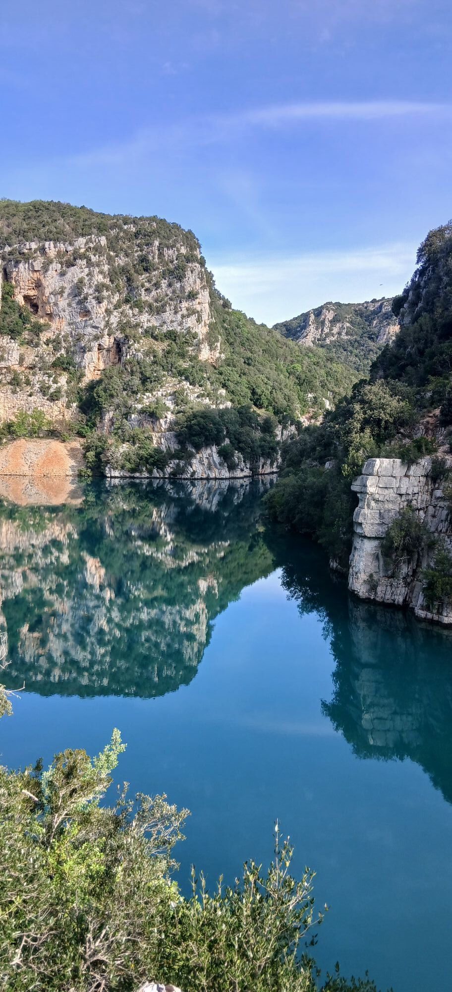
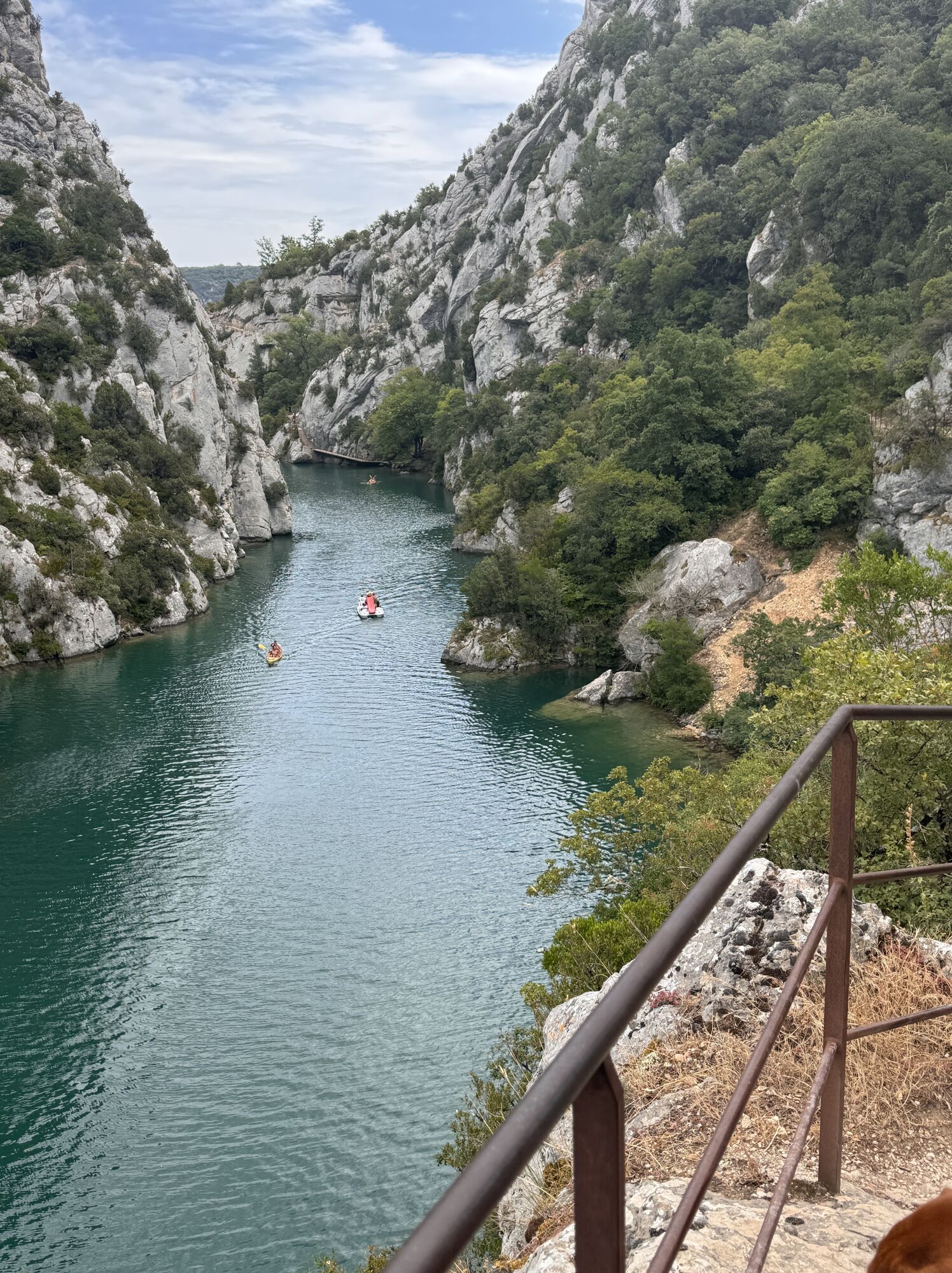
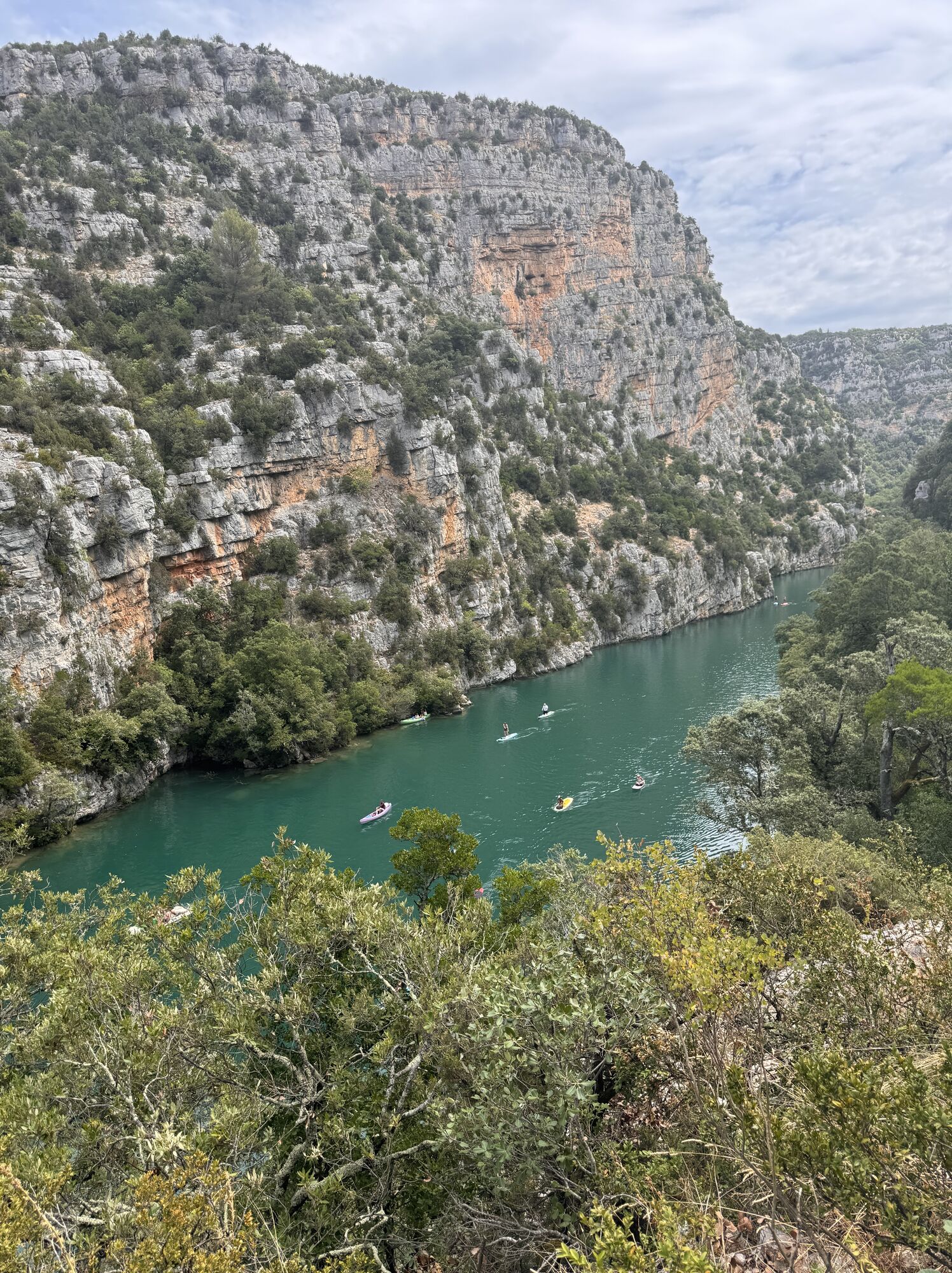
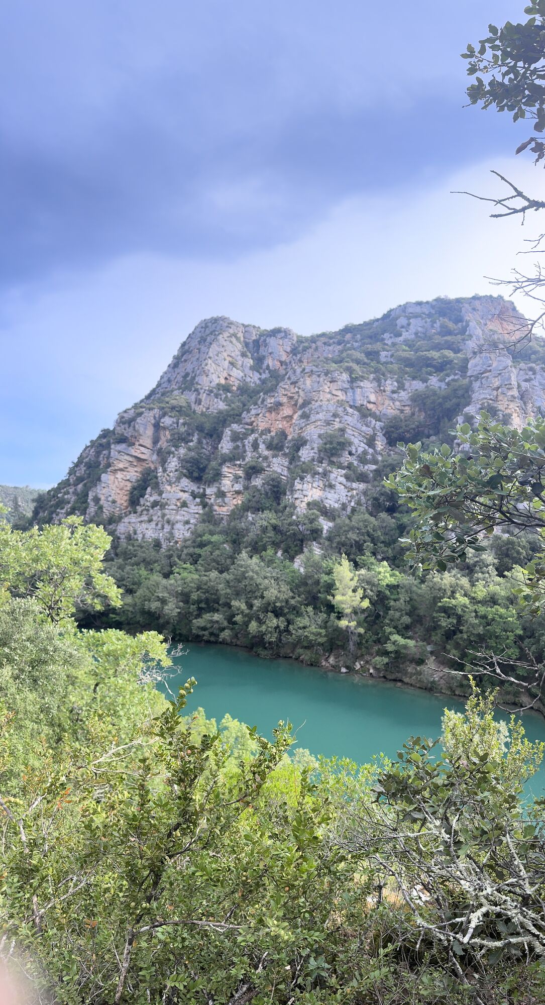
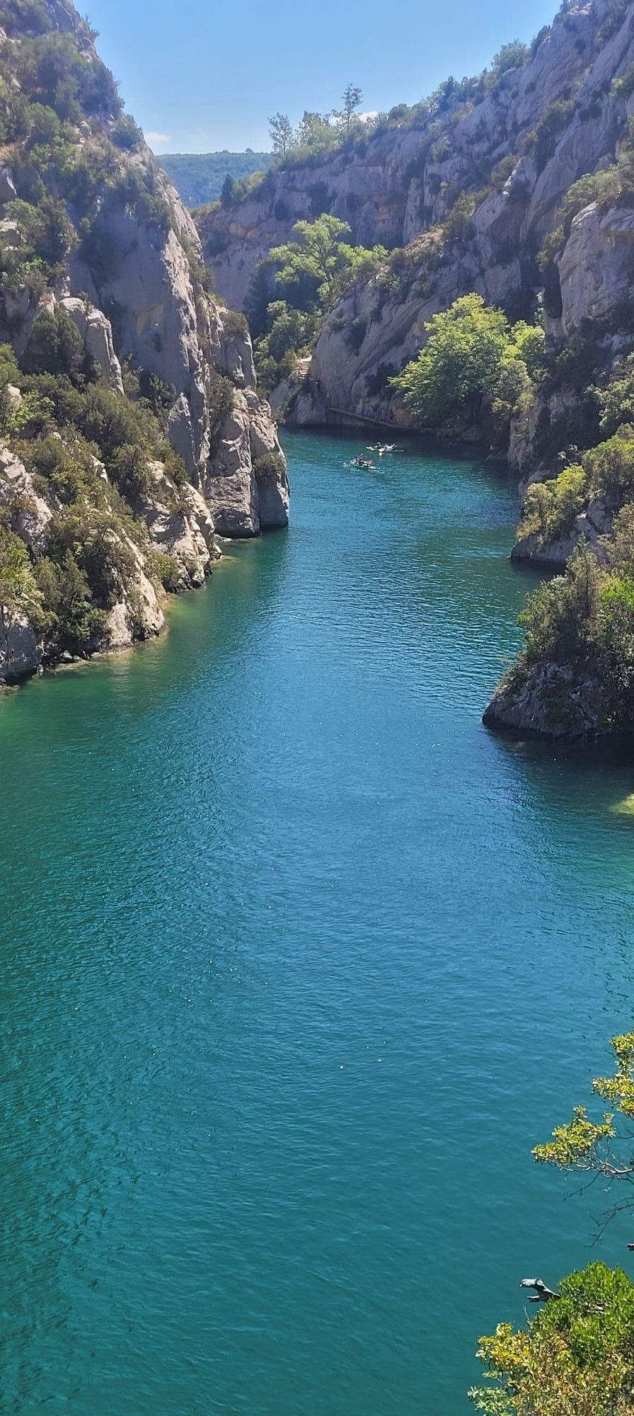
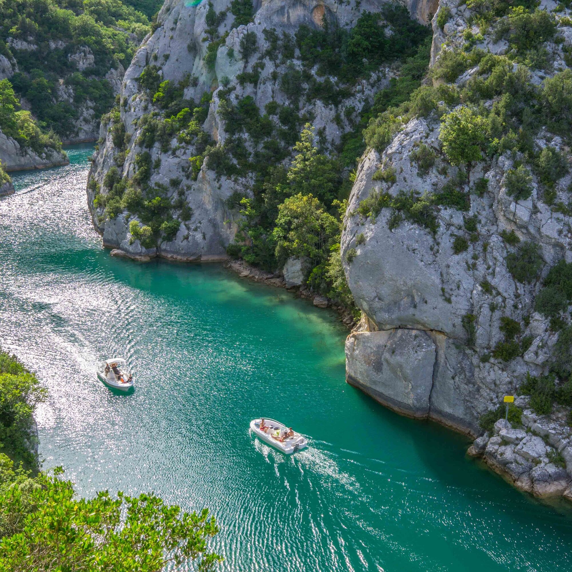
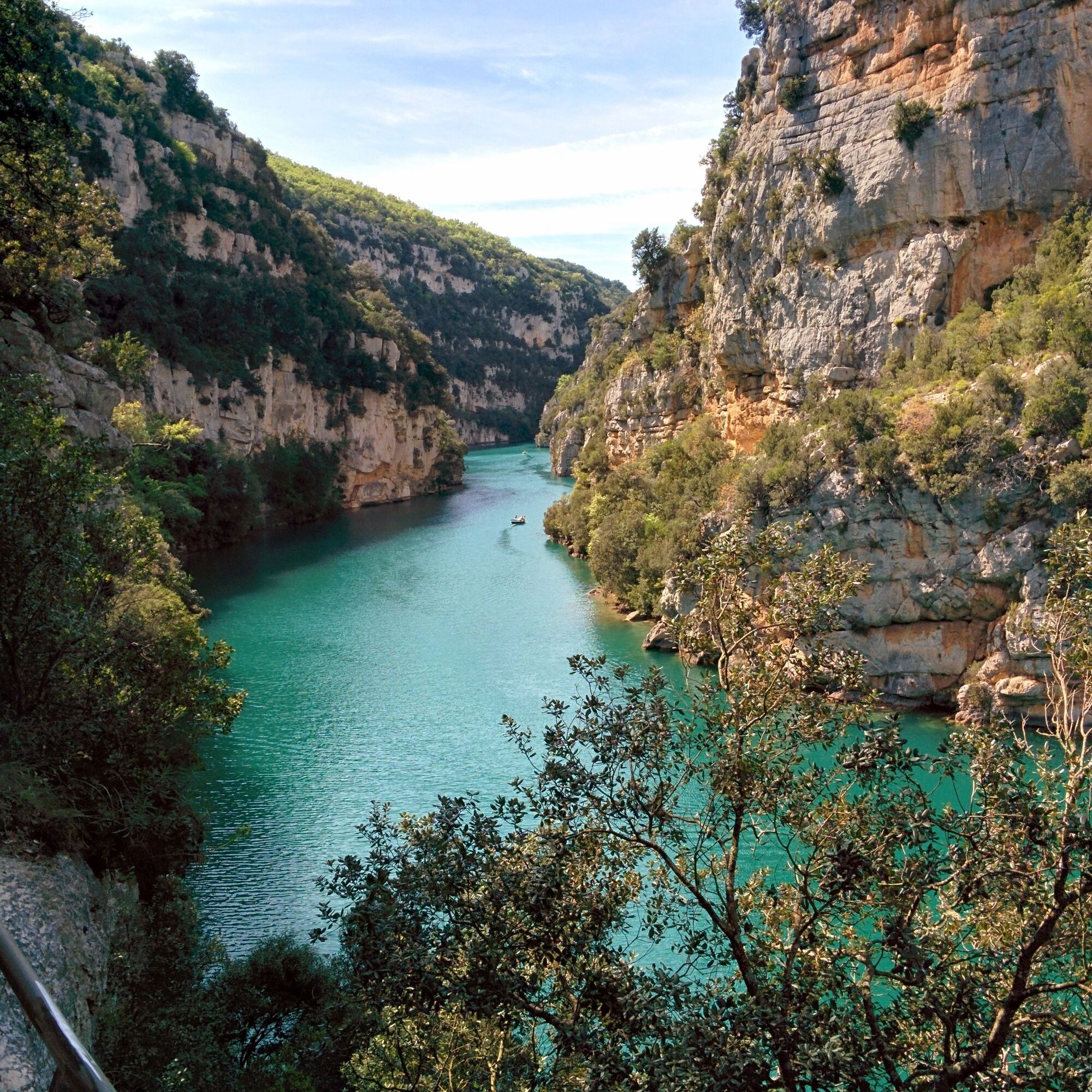
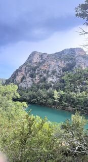
You start the old canal guardian's path and will have the privilege to enter the Lower Verdon Gorges to reach
the Sainte-Maxime chapel.
Map for sale at the Quinson tourist information office for 1 € (6 routes).

Loop route. Marked.
Good hiking shoes, something to drink.
In case of emergency, call 112.
Via the D11.
Consider carpooling.
Parking near the Quinson bridge.
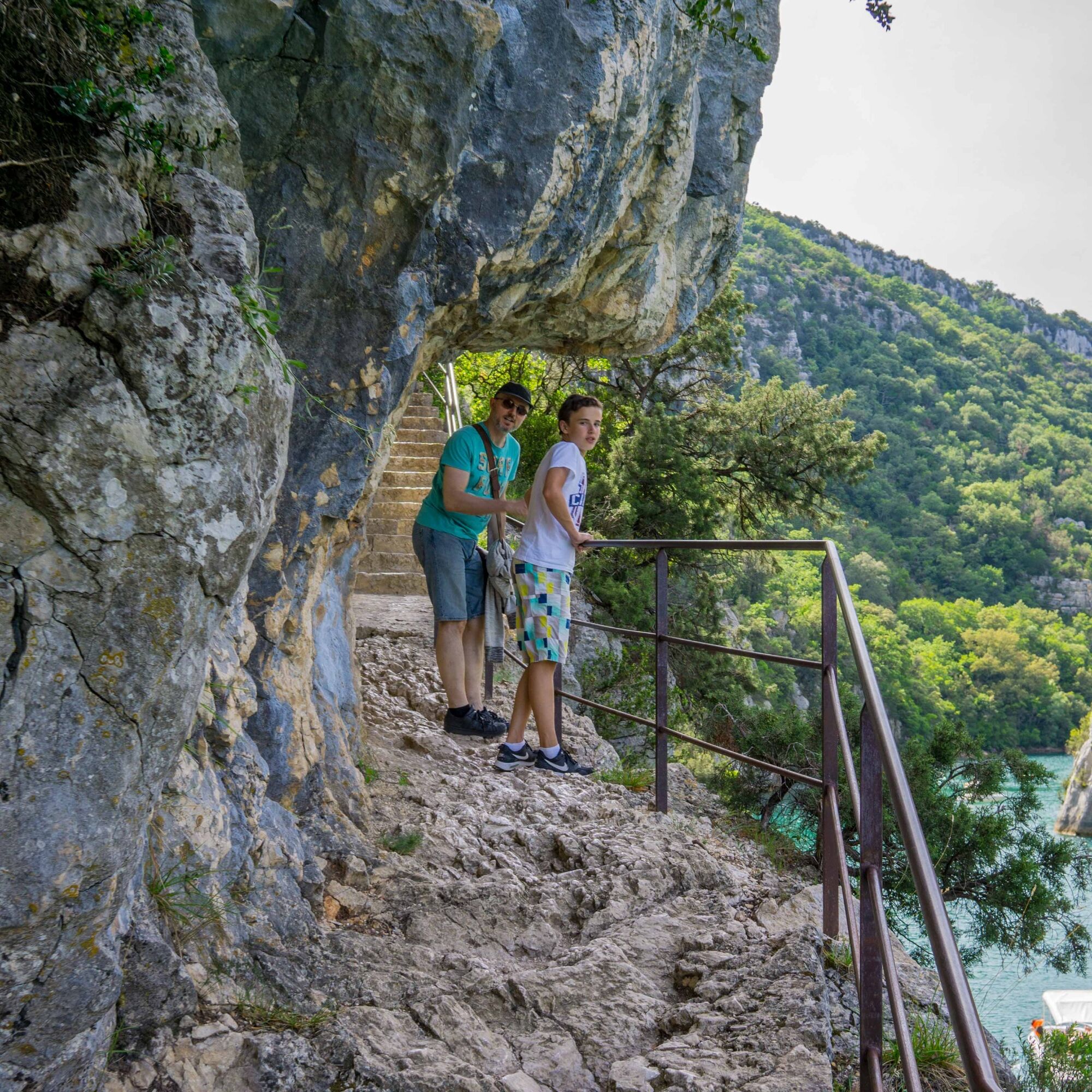
Post Verdon Bridge (364 m) - Climb to the right. Reach the first viewpoint and descend to the water's edge (Marked).
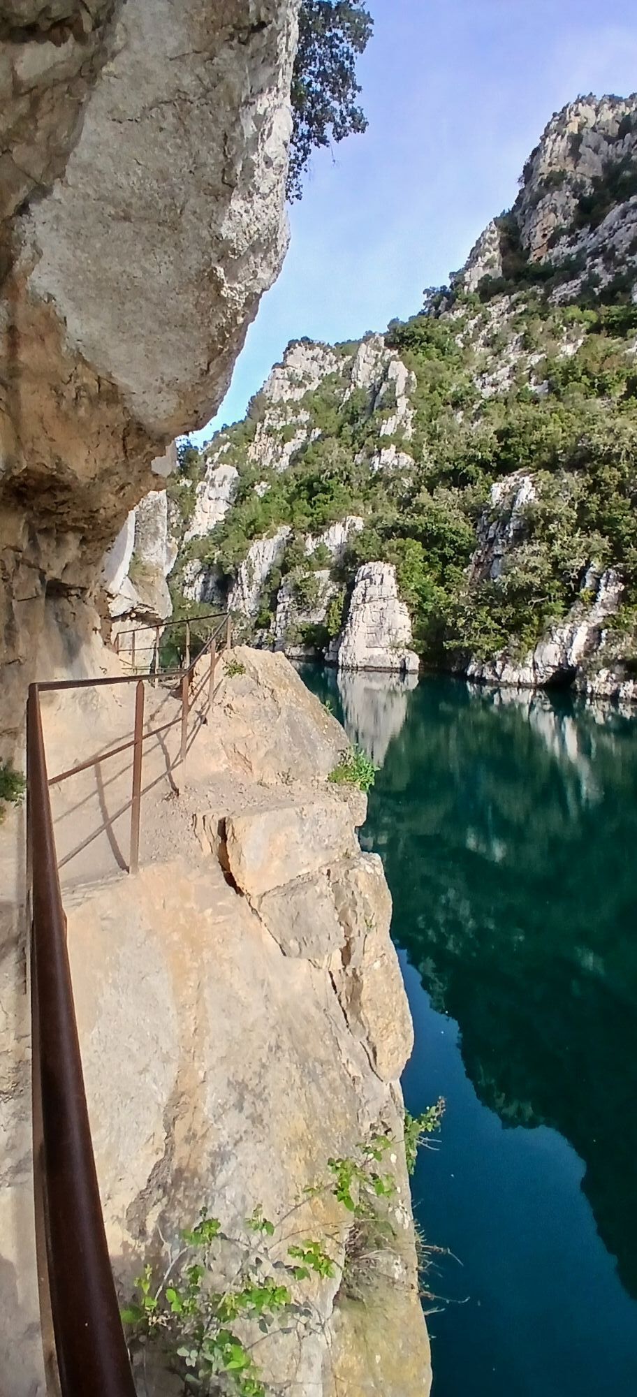
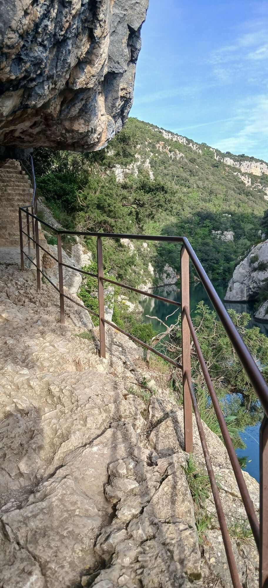
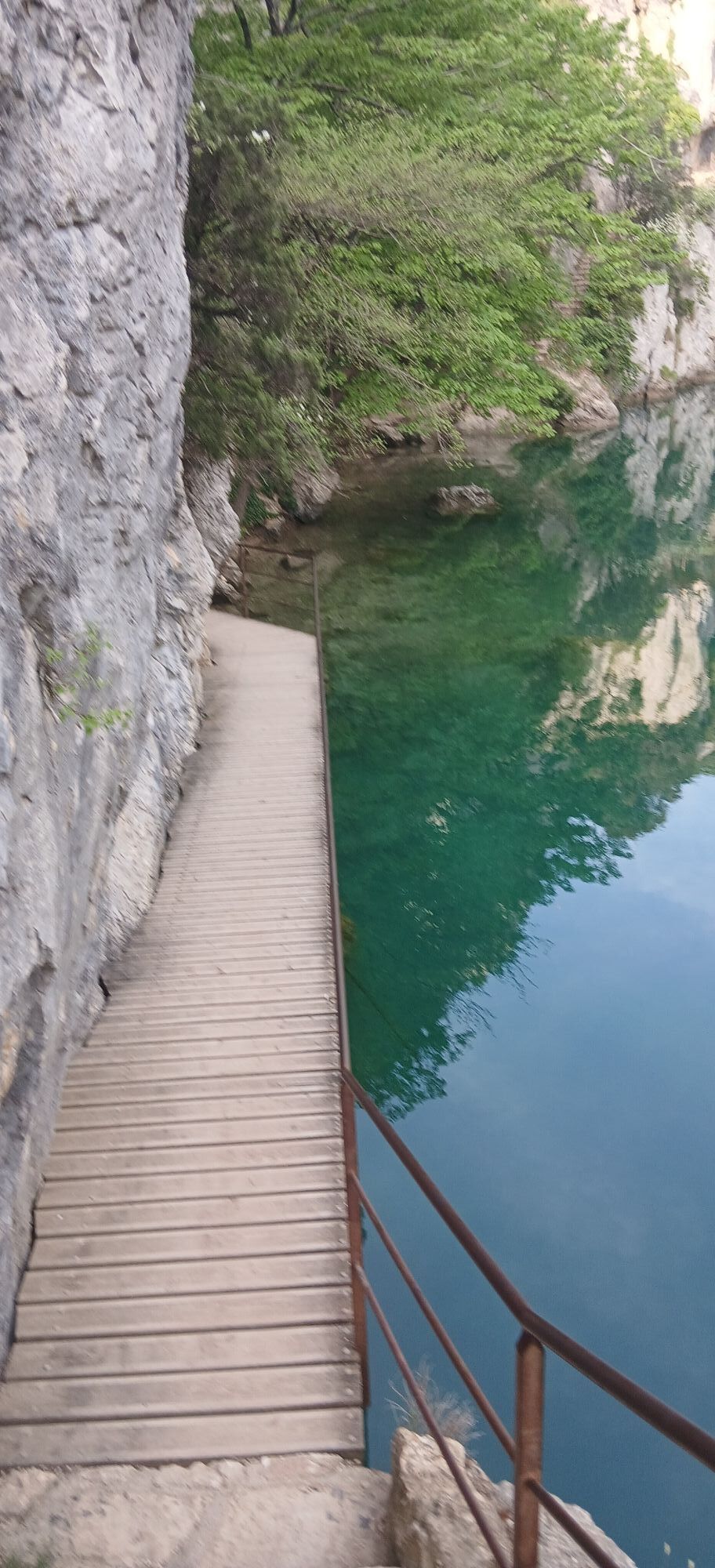
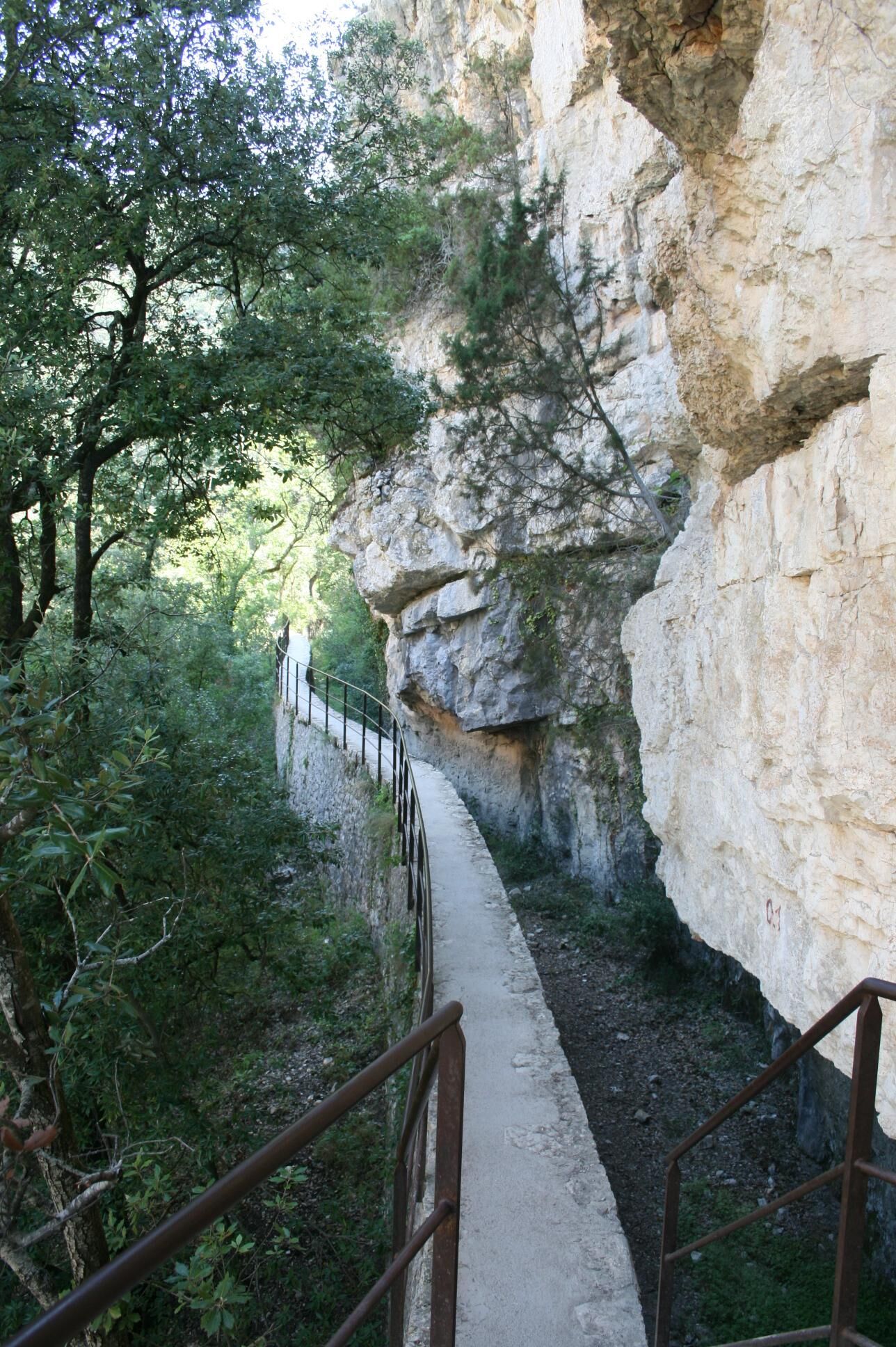
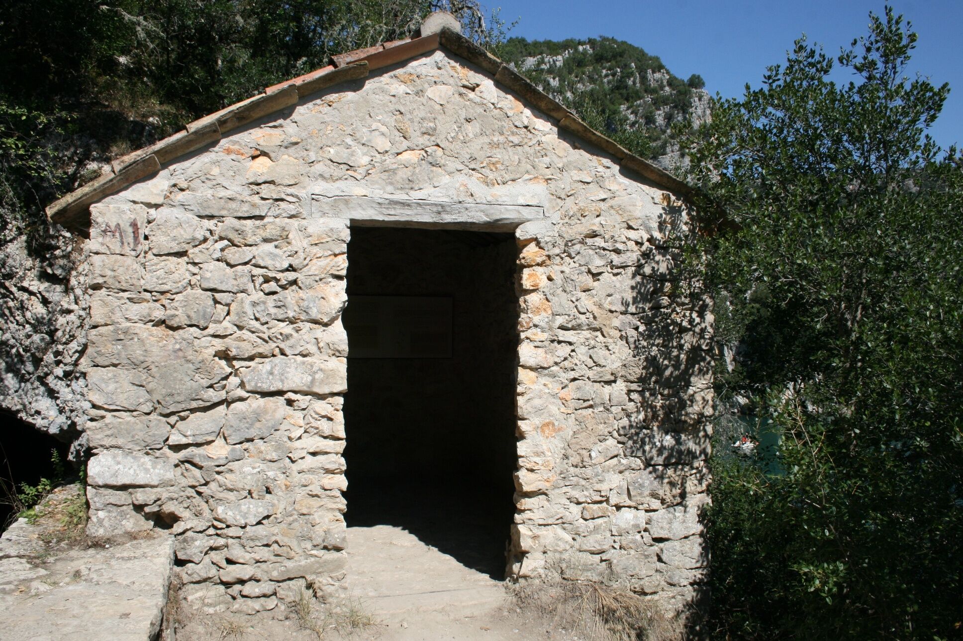
Post Lower Gorges (370 m) - Do not take the footbridge and continue straight ahead. Cross two metal stairs on the route, walk on the canal wall before entering it and reaching the canal guardian shelter (interpretation panels).
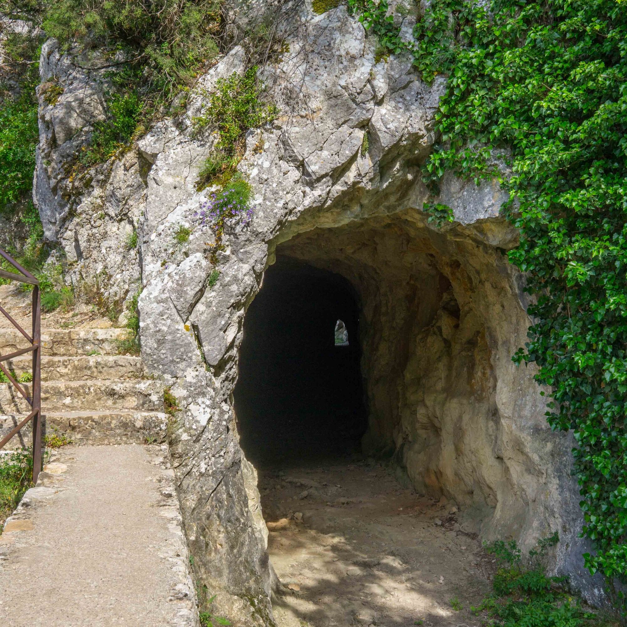
Cross a 120 m long tunnel and exit the canal by a metal staircase. Climb up the bottom of the Sainte-Maxime valley for 1 km to a crossroads, then turn left to reach the plateau.
Post Sainte-Maxime Crossroad (468 m) - Go left to the Sainte-Maxime chapel (Marked), then return to point 5 by the same route. Continue straight on the trail under the oaks and reach an old oratory (Marked). Climb the path to the right. At a ruin, turn left and continue to the Draille des Vaches crossroad.
Post Draille des Vaches Crossroad (537 m) - Take the left path, the trail descends directly to the footbridge at point 3. Turn right, the return is by the route taken out.
A beautiful must-do hike in Quinson!


Popularne wycieczki w okolicy
- 5,0
Les Gorges de Baudinard
średniKajak / Canoe 8,26 km Cycling along the water and the unique history of the Verdon
ciężkiDroga rowerowa 134,0 kmFFC Mountain Bike Site - Provence Verdon - Circuit 43 - Blue - Montagnac-Montpezat
światłoMountainbike 16,5 kmThe Mediterranean by bike
ciężkiJazda na rowerze 461,2 kmHiking route "The Millarettes plateau"
światłoWędrówka 9,83 km- 4,0
The route around Lake Esparron-de-Verdon
średniDroga rowerowa 57,7 km VTT FFC Site - Provence Verdon - Route 1 - Black
ciężkiMountainbike 61,6 km- 1,0
Hiking route "Coteau Chiron"
średniWędrówka 7,16 km Hiking route "Fitness Trail"
światłoWędrówka 3,25 kmSAINTE-CROIX-DU-VERDON - Balade sensorielle à vélo
światłoDroga rowerowa 31,5 km
Wędrówki i tropienie


Nie przegap ofert i inspiracji na następne wakacje
Twój adres e-mail została dodana do listy mailingowej.