







Cycling along the water and the unique history of the Verdon

Poziom trudności: 4

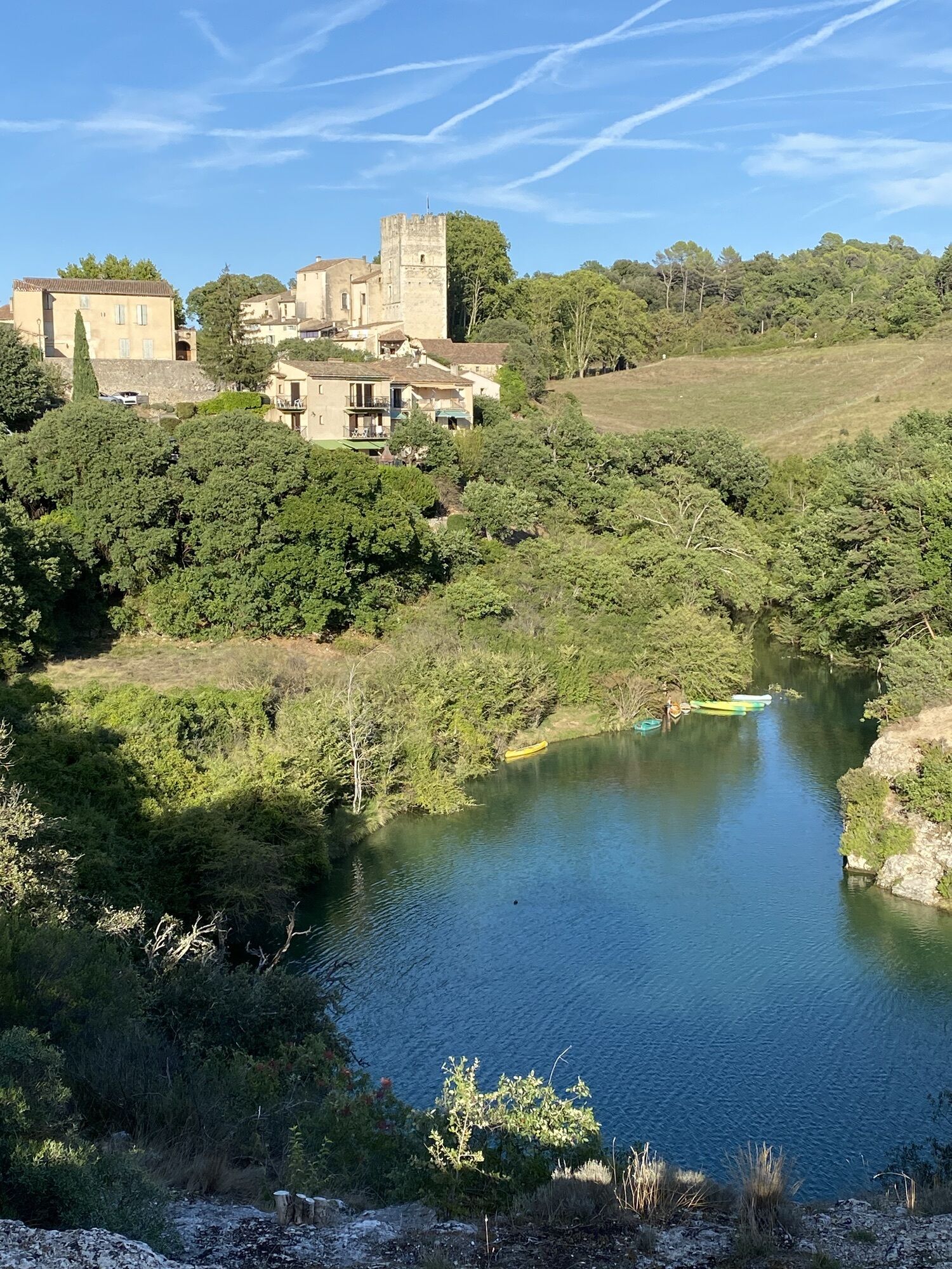
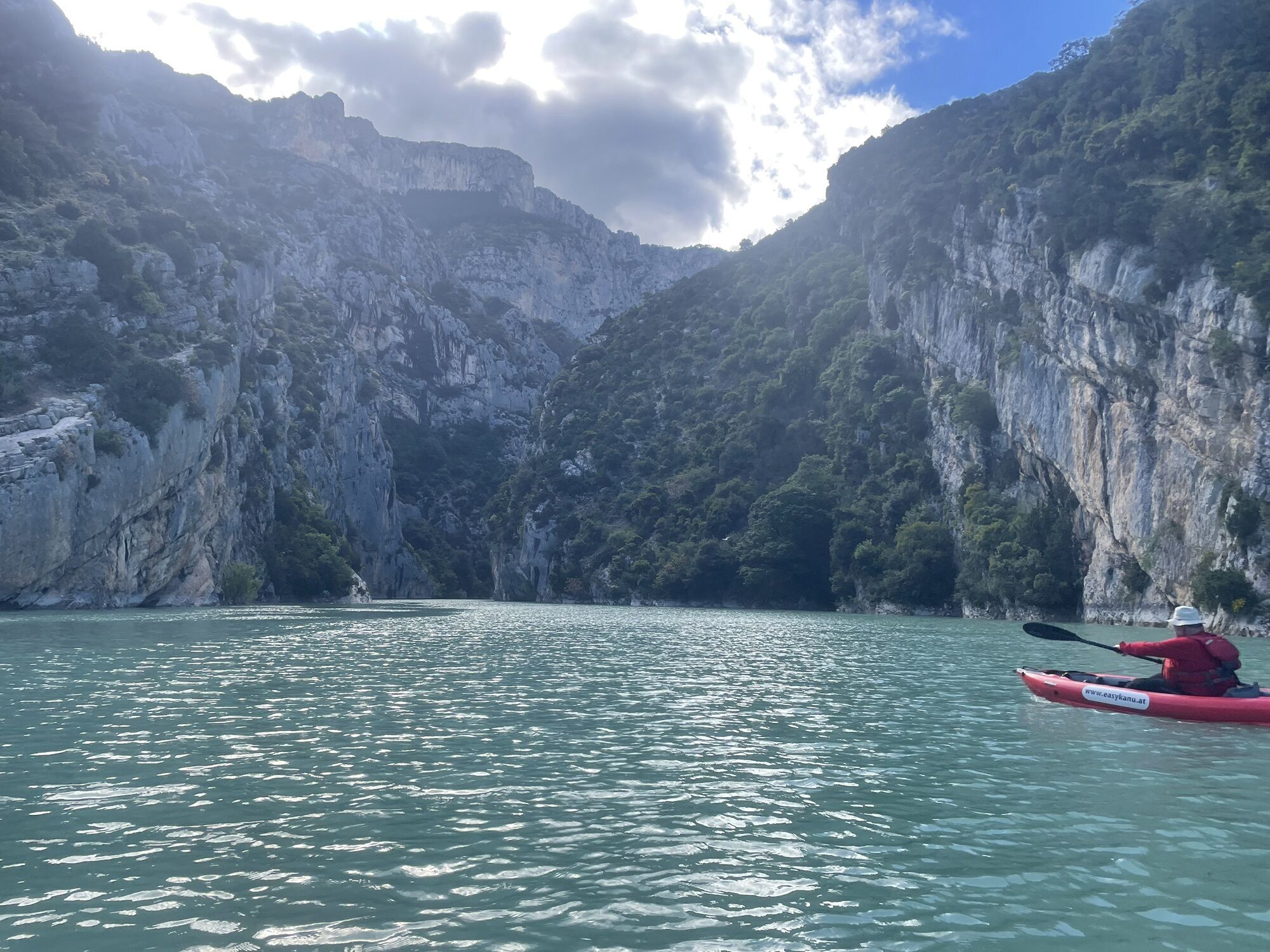
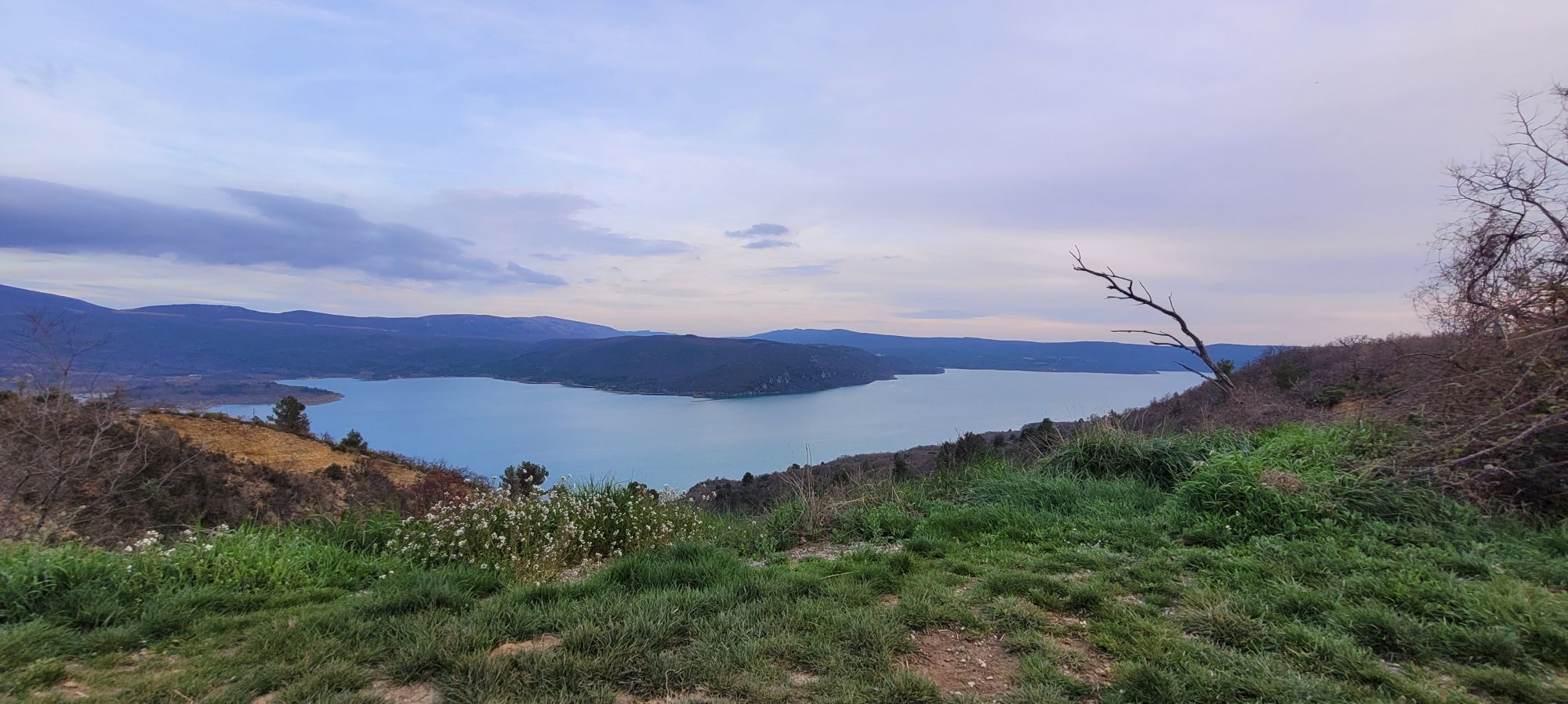
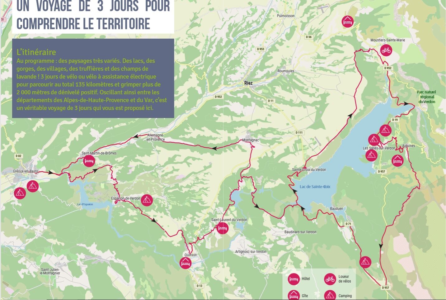
Stage 1: Gréoux-les-Bains - Quinson (22.7 km, 461m D+)
This first day is a summary of what awaits you during your stay: lake, gorges, typical villages, museum, swimming places...
After a visit to the thermal...
Stage 1: Gréoux-les-Bains - Quinson (22.7 km, 461m D+)
This first day is a summary of what awaits you during your stay: lake, gorges, typical villages, museum, swimming places...
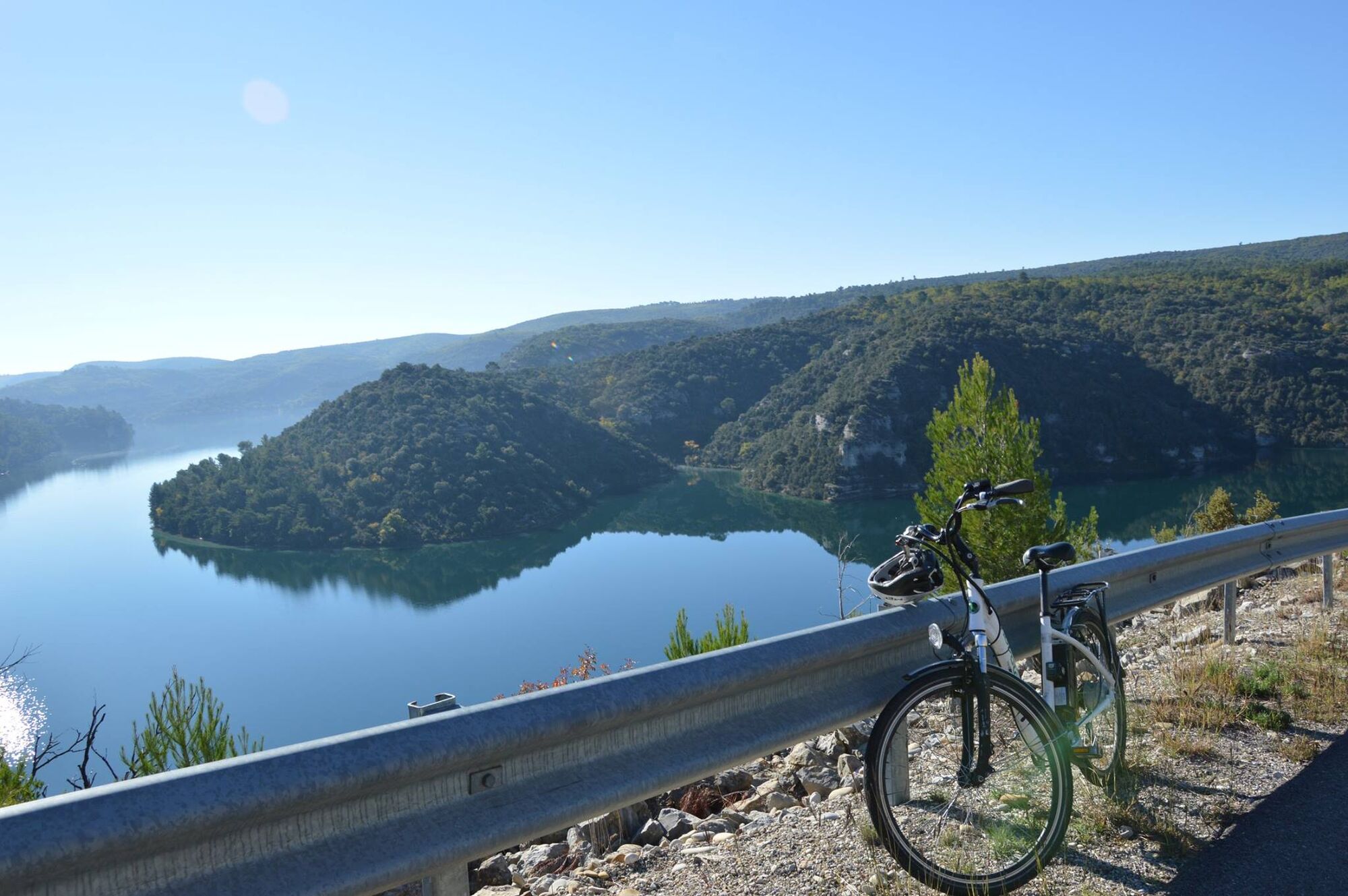
After a visit to the thermal village of Gréoux-les-Bains, you will head for the lake of Esparron. Less well known than its neighbour, the lake of Sainte-Croix, you will see that it is no less beautiful!
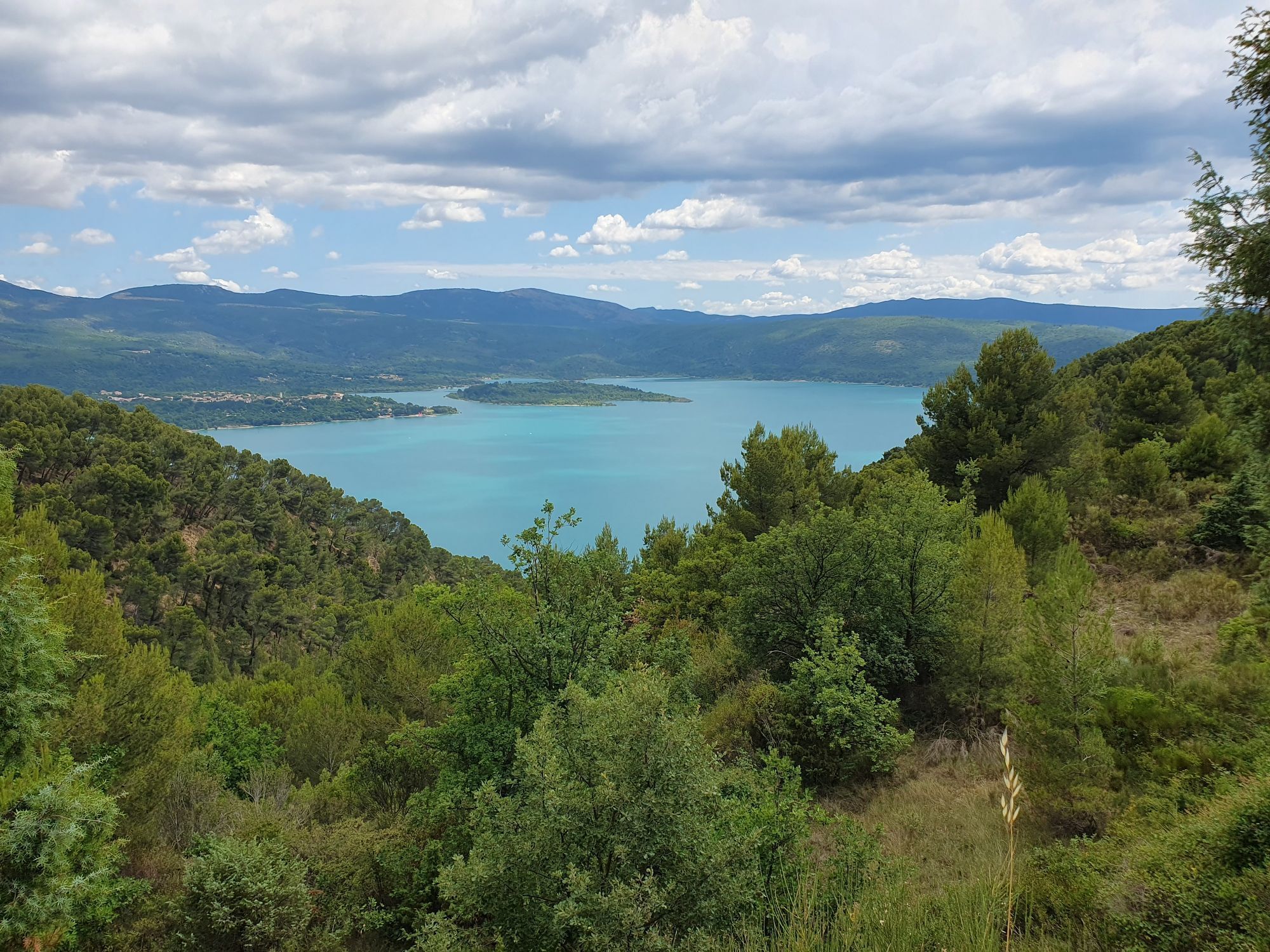
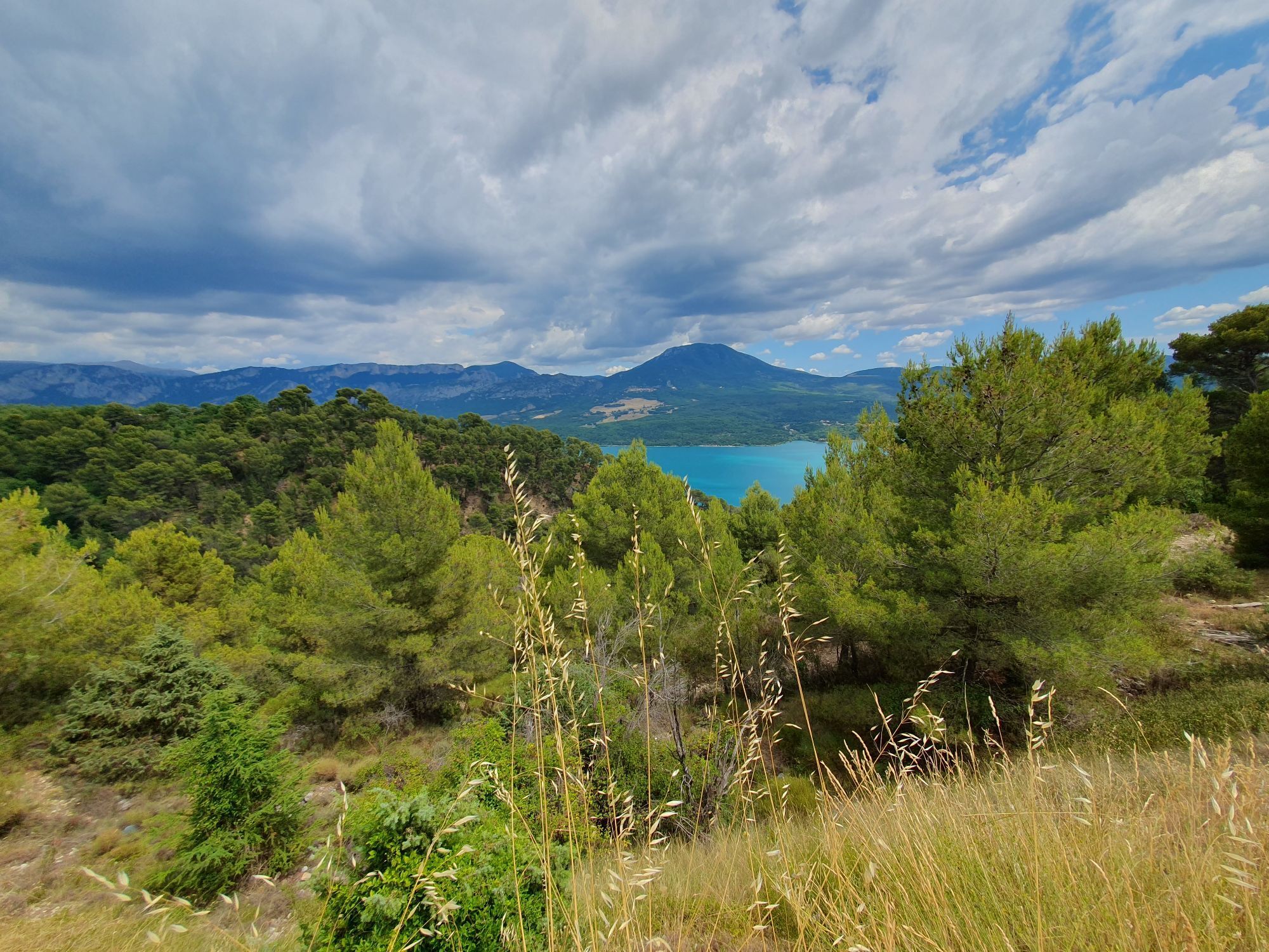
After reaching the dam, the road that you will take on the heights will offer you magnificent views of the lake with the Pre-Alps and the first lavender fields in the background, so numerous on the whole route. Then a beautiful descent will take you to the village of Esparron, where the small port and the swimming area on the limestone slabs may keep you a little while! Take advantage of this, the road that awaits you afterwards will be quite easy until Quinson and you will be there relatively quickly.
On the descent to Quinson, you will be able to see the cliffs where prehistoric men lived, a discovery that is explained in detail in the village's Museum of Prehistory, which we invite you to visit. Unless a hike in the lower gorges appeals to you...? In any case, there are many temptations, so it's up to you to choose what you prefer!
Favourite :
The electric boat "La Perle du Verdon" leaves several times a day from the small port of Esparron for a trip on the lake to discover its history, its legends and the lower gorges. An original way to leave the road for a few moments!
Stage 2: Quinson - Aiguines (50 km, 814 D+)
Even if this stage should only take you 3 or 4 hours, it will inevitably be lengthened by the many times you will put your foot down and leave your bike behind to wander through the narrow streets of a village, enjoy a viewpoint or dive into the lake!
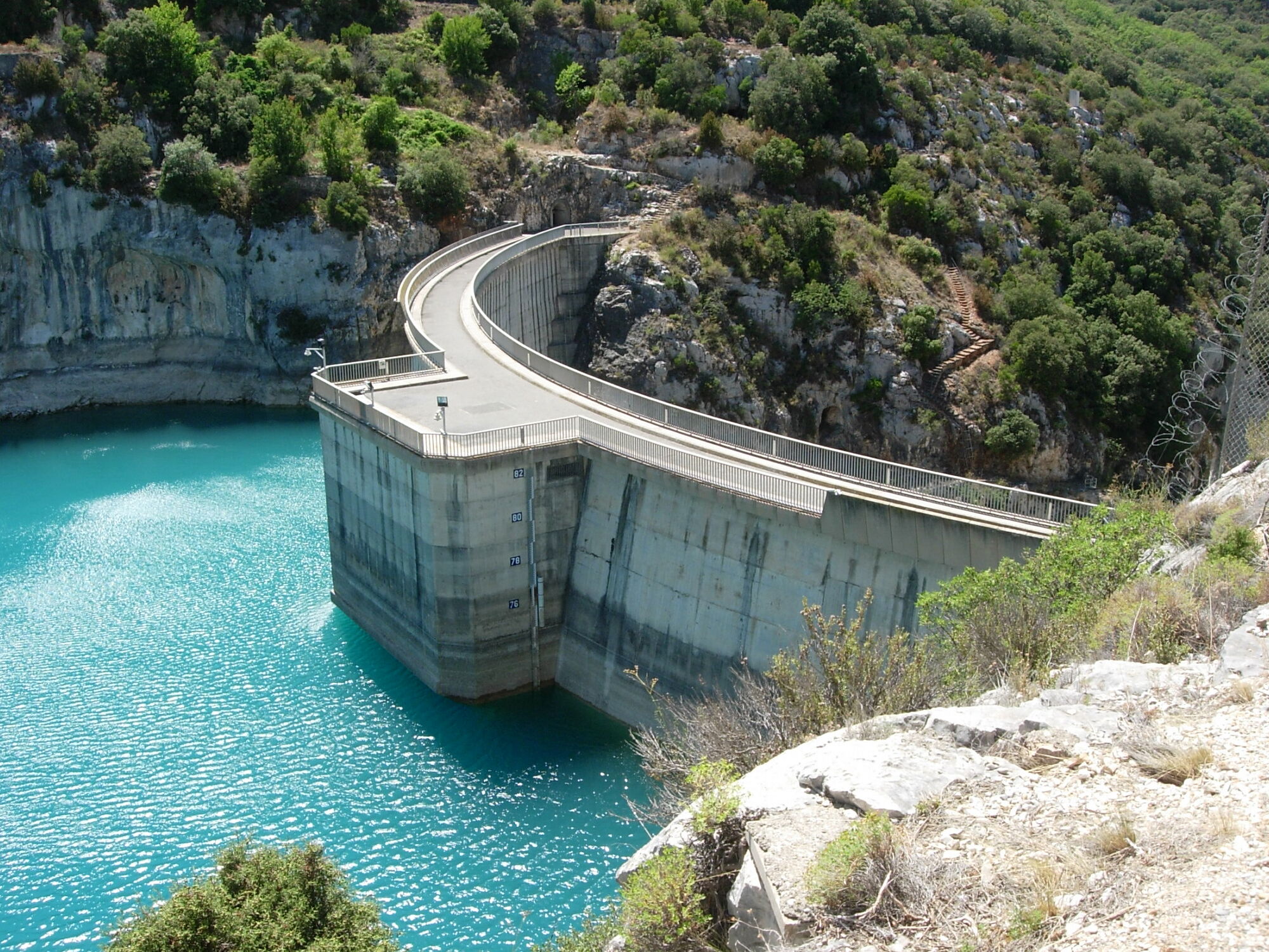
From Quinson, you will first reach St Laurent du Verdon by a pretty road that winds through the oak trees, then the perched village of Montpezat. You will then take the D71 which will lead you to the village of Sainte-Croix-du-Verdon and will offer you magnificent views of the lake and the Baudinard gorges. At the bridge, take the time to stop and look at the orientation table for a moment, where schematic explanations on the functioning of a dam are given. Afterwards, you will have to be careful, as the road will be wider and also busier from the bridge to Sainte-Croix.
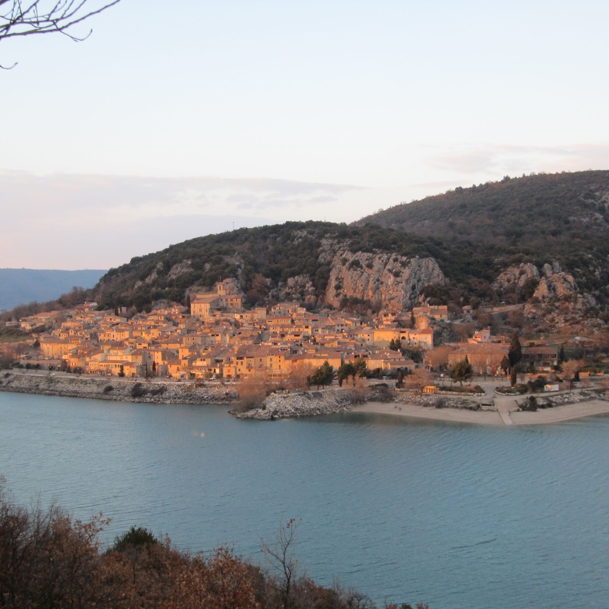
After a short break in the village if you feel like it (which is worth it because of the slope and therefore the climb to reach the itinerary!), you will continue on the ridges facing an incredible panorama, with the village of Sainte-Croix and the lake in the background.
The arrival in Moustiers, a village worthy of a Provencal cot, is splendid! Here, earthenware is renowned and has been a major part of the village's history since the 16th century. You will still find many artisanal workshops here. After strolling through the narrow streets of the village, you will reach the village of Les Salles-du-Verdon, passing by the Domaine de Valx, an agricultural property of the Conservatoire du Littoral managed by the Verdon Regional Nature Park, and the Galetas bridge from which you can see the entrance to the famous Verdon gorges. The "modern" village of Les Salles is worth a visit: created from scratch 40 years ago, it is not lacking in charm, if only to discover some of the remains of the old village that have been preserved and moved.
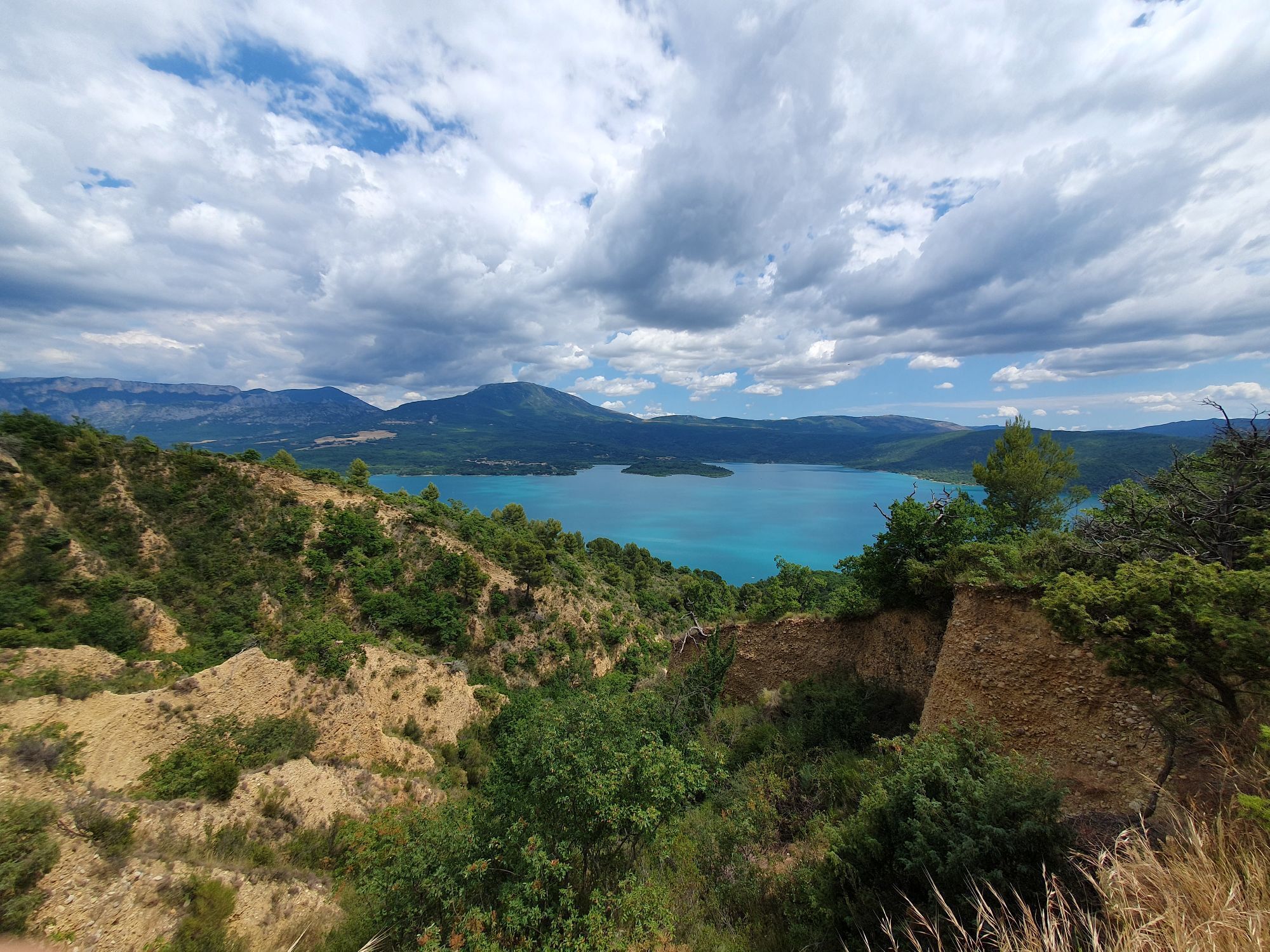
You will then "only" have to go up to Aiguines, the stopover point for the day. A decorated castle, a chapel with a beautiful viewpoint (another one!) and a turner's museum await you. You will also clearly see the island of Costebelle on a corner of the lake below, which is in reality... an old hill in the valley!
Favourite:
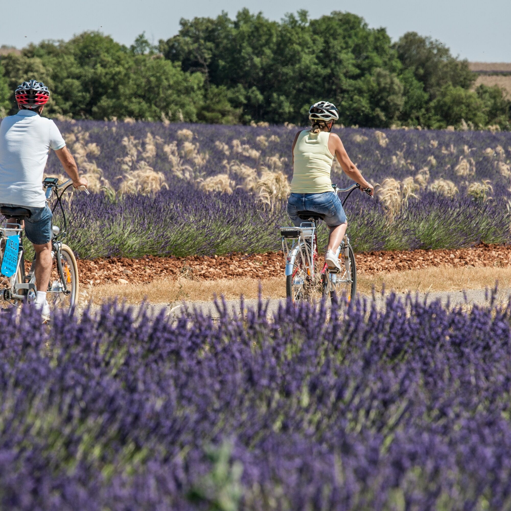
You wanted to see lavender? On this stage you will be served! notably by traversing a part of the Valensole plateau, the Mecca of lavender cultivation. But be aware that this little flower, so intoxicating, is nonetheless very fragile. The Parc du Verdon has been working for several years in association with lavender growers in an experiment: using a plant cover to fight against parasites instead of pesticides.
Stage 3: Aiguines - Gréoux-les-Bains (62 km, 844 D+)
Back to Gréoux-les-Bains, the loop is complete! With another beautiful route, beautiful roads and pretty villages, such as Bauduen, the "Saint Trop' du Verdon"!
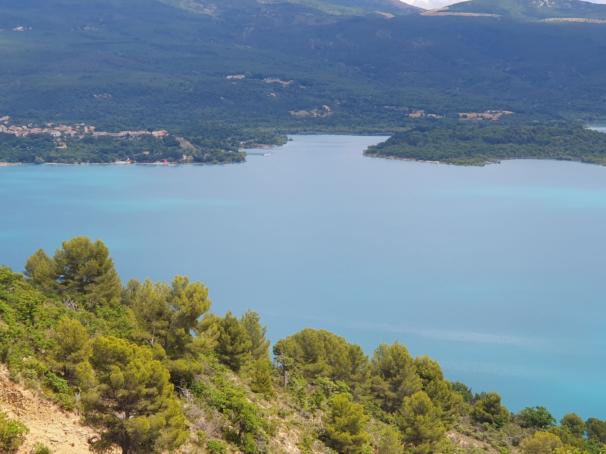
After leaving Aiguines, you will continue your route a little away from the lake, still on the heights and looking south. The road here is wild and will lead you to the last remarkable village on the edge of the lake: Bauduen. The road that plunges towards the village is again splendid and the view of the bay and the few sailing boats that are parked there will no doubt surprise you. In this small harbour sheltered in the heart of a bay, a stroll through the cool and narrow streets is once again a must.
A few kilometres further on, a small road leads off to the right to Sulagran, another nice bathing spot, owned by the Conservatoire du Littoral.
Unless you want to go back for another tour of the lake, you will not cross the bridge but will go back on your steps of the previous day for a few kilometres along the massif of Eouvières again. It is on this part that you can enjoy the water one last time. At the entrance of Montpezat, you will stay this time on the main road in direction of Montagnac to join once again the plateau of Valensole. In Montagnac, after a possible visit of the village, whose central square is partly caladée and charming, you will continue the road to Allemagne-en-Provence and its beautiful castle. The last few kilometres of the itinerary, a little more "urbanised", indicate that Gréoux-les-Bains and the end of the journey are not far off...
Favourite
Bauduen: like a Corsican landscape, between turquoise waters and limestone, Bauduen is another old village, typically Provencal, which is set in an arc facing the lake of Sainte-Croix. If you compare it to Saint-Tropez, you will not find here any seaside infrastructures, nor yachts, but a separate atmosphere, a small harbour sheltered in a bay, where tranquillity is the rule.



Tak
In case of emergency, call112
Think about carpooling
Parking near the starting point
4
APIDAE tourism data updated on 13/04/2022 by "Agence de Développement Touristique des Alpes-de-Haute-Provence".
Spotted an error? Write to the owner with the following information:
File name: A vélo au fil de l'eau et de l'histoire singulière du Verdon | Record identifier: 5379712 | URL (link) for this Outdooractive page.
Popularne wycieczki w okolicy
- 5,0
Les Gorges de Baudinard
średniKajak / Canoe 8,26 km - 5,0
Wanderung durch die Verdonschlucht
średniWycieczki górskie 14,7 km - 5,0
Verdon - Tour in die Verdon-Schlucht
światłoKajak / Canoe 4,91 km FFC Mountain Bike Site - Provence Verdon - Circuit 43 - Blue - Montagnac-Montpezat
światłoMountainbike 16,5 kmHiking route "The Millarettes plateau"
światłoWędrówka 9,83 km- 1,0
Hiking route "Coteau Chiron"
średniWędrówka 7,16 km SAINTE-CROIX-DU-VERDON - Balade sensorielle à vélo
światłoDroga rowerowa 31,5 kmLoop of the Plateau de Valensole
średniDroga rowerowa 54 km- 4,5
Chalet de la Maline - Belvedere - La Palud-sur-Verdon
średniWędrówka 5,26 km VTT FFC site - Provence Verdon - Route 22 - Blue
średniMountainbike 19,5 km
Wędrówki i tropienie


Nie przegap ofert i inspiracji na następne wakacje
Twój adres e-mail została dodana do listy mailingowej.





