
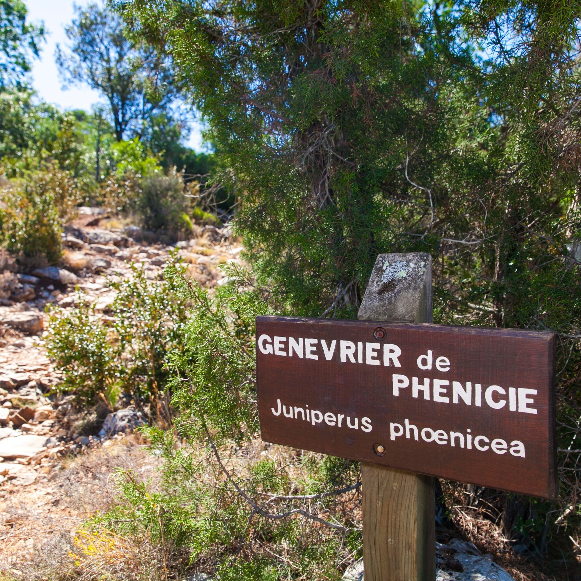
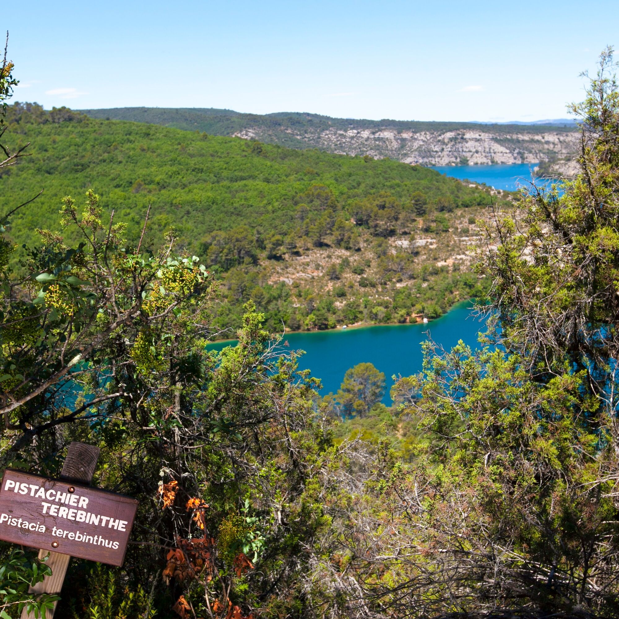
Hiking route "Botanical trail"
światło
Pobierz tę trasę na swój telefon komórkowy
Hiking route "Botanical trail"
światło
Wędrówka
6,05
km
Zeskanuj kod QR i rozpocznij nawigację w aplikacji bergfex.


Wędrówki i tropienie




Hiking route "Botanical trail"
światło
Odległość
6,05
km
Czas trwania
03:00
h
Ascent
174
hm
Poziom morza
371 -
528
m
Ścieżka do pobrania
Hiking route "Botanical trail"
światło
Wędrówka
6,05
km
From the commerce parking lot, go up on road D82 and turn right towards the castle and its fountain. Reach 100 m to the right the intersection between the roads of Tuilière and Quinson.
1 - Follow the route...
Opis
From the commerce parking lot, go up on road D82 and turn right towards the castle and its fountain. Reach 100 m to the right the intersection between the roads of Tuilière and Quinson.
1 - Follow the route to the right (lake road and Tuilière). After 50 m on the Tuilière path, turn left onto the discovery trail GR® (red and white markings). Cross a small valley and reach, at the top, a track junction at the place called La Séouve.
2 - At the junction, turn right (yellow PR markings) and follow "broken bridge 1.5 km".
3 - Leave the path leading to the relay tower and take the slope on the left. (the descent to the lake is a bit steep).
4 - At the bottom of the path, turn right and join the paved road of Tuilière, follow it back to point 1.
1 - Follow the route to the right (lake road and Tuilière). After 50 m on the Tuilière path, turn left onto the discovery trail GR® (red and white markings). Cross a small valley and reach, at the top, a track junction at the place called La Séouve.
2 - At the junction, turn right (yellow PR markings) and follow "broken bridge 1.5 km".
3 - Leave the path leading to the relay tower and take the slope on the left. (the descent to the lake is a bit steep).
4 - At the bottom of the path, turn right and join the paved road of Tuilière, follow it back to point 1.
Trasa
Église Saint-André
(388 m)
Miejsce kultu
0,1 km
Esparron-de-Verdon
(386 m)
Wioska
0,4 km
Hameau de la Chapelle
(387 m)
Rozliczenie
0,6 km
Belvédère de la Tuilière
(498 m)
Punkt widzenia
1,9 km
Trasa
Hiking route "Botanical trail"
światło
Wędrówka
6,05
km
Église Saint-André
(388 m)
Miejsce kultu
0,1 km
Grotte du Bourg d'Esparron
(373 m)
Wejście do jaskini
0,2 km
Esparron-de-Verdon
(386 m)
Wioska
0,4 km
Hameau de la Chapelle
(387 m)
Rozliczenie
0,6 km
Belvédère de la Tuilière
(498 m)
Punkt widzenia
1,9 km
Autor
Dostarczone przez Destination du Pays de Manosque
Wycieczkę Hiking route "Botanical trail" zapewnia outdooractive.com.


Dodatkowe informacje i wskazówki
Dodatkowe informacje
APIDAE Tourism data updated on 02/10/2023 by "Durance Luberon Verdon Agglomeration Community Tourist Office".
An error on this sheet? Write to the owner citing these references:
Sheet name: Hiking route "Botanical trail" | Sheet ID: 6409682 | URL (link) of this Outdooractive page.
An error on this sheet? Write to the owner citing these references:
Sheet name: Hiking route "Botanical trail" | Sheet ID: 6409682 | URL (link) of this Outdooractive page.
Wyceny

Popularne wycieczki w okolicy
- 4,0
Hiking route "Canal Guardian's Trail"
światłoWędrówka 9,82 km - 5,0
Les Gorges de Baudinard
średniKajak / Canoe 8,26 km FFC Mountain Bike Site - Provence Verdon - Circuit 43 - Blue - Montagnac-Montpezat
światłoMountainbike 16,5 kmHiking route "La Trinité"
światłoWędrówka 9,35 kmThe Mediterranean by bike
ciężkiJazda na rowerze 461,2 kmHiking route "Adret de Notre Dame"
światłoWędrówka 6,19 km- 4,0
The route around Lake Esparron-de-Verdon
średniDroga rowerowa 57,7 km VTT FFC Site - Provence Verdon - Route 1 - Black
ciężkiMountainbike 61,6 kmHiking route "The Millarettes plateau"
światłoWędrówka 9,83 km- 1,0
Hiking route "Coteau Chiron"
średniWędrówka 7,16 km
Wędrówki i tropienie

Ponad 550.000 propozycji wycieczek, szczegółowe mapy i intuicyjny planer tras sprawiają, że aplikacja jest niezbędna dla wszystkich entuzjastów przyrody.

Nie przegap ofert i inspiracji na następne wakacje
Zapisz się do newslettera
Błąd
Wystąpił błąd. Spróbuj ponownie.Dziękujemy za rejestrację
Twój adres e-mail została dodana do listy mailingowej.
Wycieczki po całej Europie
Austria Szwajcaria Niemcy Włochy Słowenię Francja Holandia Belgia Polska Liechtenstein Czechy Słowacja Hiszpania Chorwacja Bośnia i Hercegowina Luksemburg Andorra Portugalia Islandia Wielka Brytania Irlandia Grecja Albania Macedonia Północna Malta Norwegia Czarnogóra Mołdawia Kosowo Węgry San Marino Rumunia Estonia Łotwa Białoruś Cypr Litwa Serbia Bułgaria Monako Dania Szwecja Finlandia





