


Pigeon huts and ATV cabins
A silhouetted hut on the plateau of Valensole, a pastoral hut in the shade of a slope, a fountain on a village square are all links that the territory maintains with those who have lived there or who live...
A silhouetted hut on the plateau of Valensole, a pastoral hut in the shade of a slope, a fountain on a village square are all links that the territory maintains with those who have lived there or who live there on a daily basis. The paths leading to them become again pathways of life which invite everyone to adapt their step, or their turn of the wheel to better discover and feel the many facets of the Verdon.

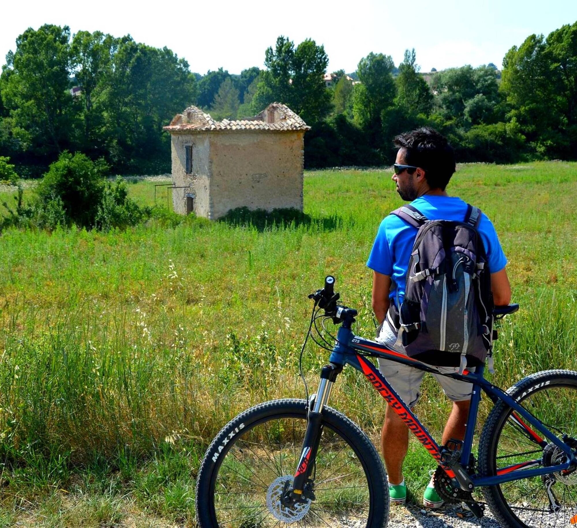
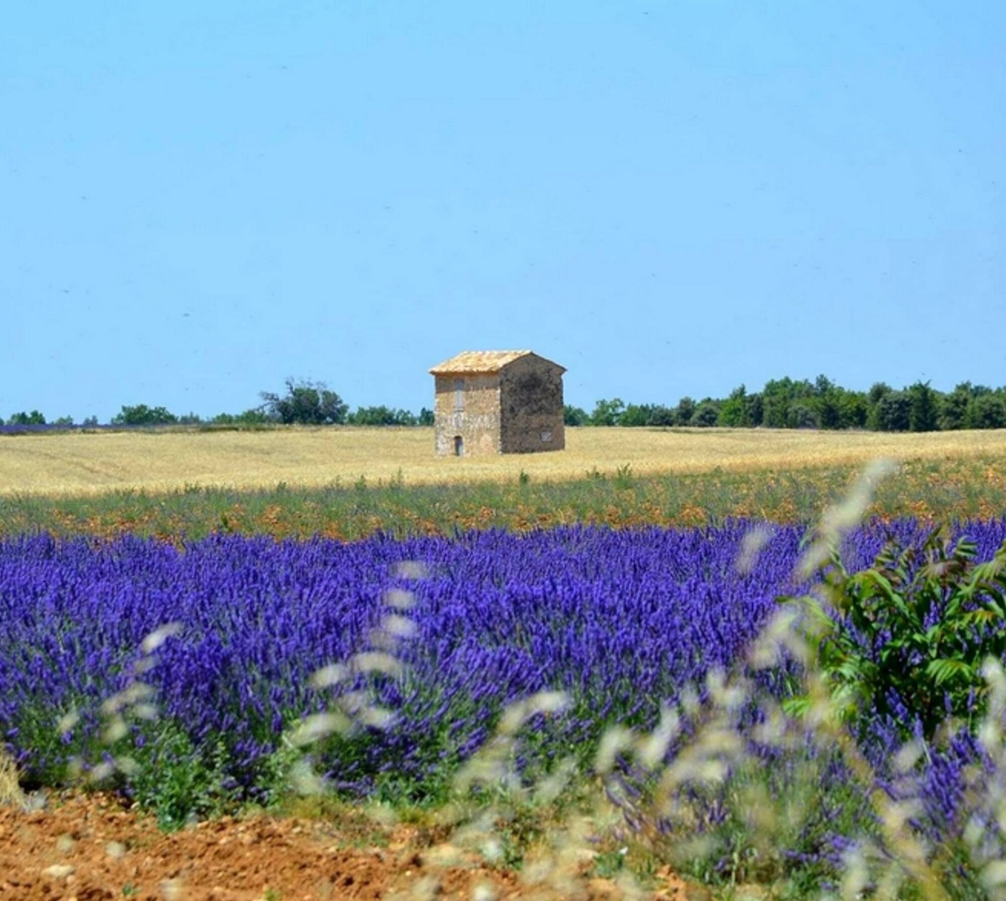
From Riez, take a small communal road and climb up the plateau; the climb is arduous but promises a striking view of the Verdon mountains. Find a trail that is at first brittle and steep and increasingly rolling. Travel between truffle and lavender to the village of Puimoisson. Go down the plateau by the Moustiers road, between rolling trails and small secondary roads, then follow the Colostre (ford, potentially flooded, caution! possibility of variant while staying on the road) in the direction of Roumoules. Exit Roumoules by the GR4 and, after a few hundred meters, climb up the plateau via a steep and stony path (bifurcation loop 2). Amore accessible variant takes you through the trading estate. There is a straight and rolling trail completely open on the fields of lavender and olive trees that join the chapel of Sainte-Maxime. Take a last stony descent (variant possible by road) until the heart of the picturesque lanes of Riez.
Difficult
Popularne wycieczki w okolicy
-
4,0
Gorges de Trévans
światłoWędrówka 10,8 km -
5,0
Les Gorges de Baudinard
średniKajak / Canoe 8,26 km -
5,0
Verdon - Tour in die Verdon-Schlucht
światłoKajak / Canoe 4,91 km -
Hiking route "The Millarettes plateau"
światłoWędrówka 9,83 km -
1,0
Hiking route "Coteau Chiron"
średniWędrówka 7,16 km -
Hiking route "La Trinité"
światłoWędrówka 9,35 km -
Cycling along the water and the unique history of the Verdon
ciężkiDroga rowerowa 134,0 km -
Hiking route "Adret de Notre Dame"
światłoWędrówka 6,19 km -
FFC Mountain Bike Site - Provence Verdon - Circuit 43 - Blue - Montagnac-Montpezat
światłoMountainbike 16,5 km -
SAINTE-CROIX-DU-VERDON - Balade sensorielle à vélo
światłoDroga rowerowa 31,5 km
Wędrówki i tropienie


Nie przegap ofert i inspiracji na następne wakacje
Twój adres e-mail została dodana do listy mailingowej.