


Syölätti route, Pyhäjoki
Syölätti route
Length 10,4 km + 5,3 km, route colour-coded blue
End points Pyhäjoki Centre and Parhalahti School,
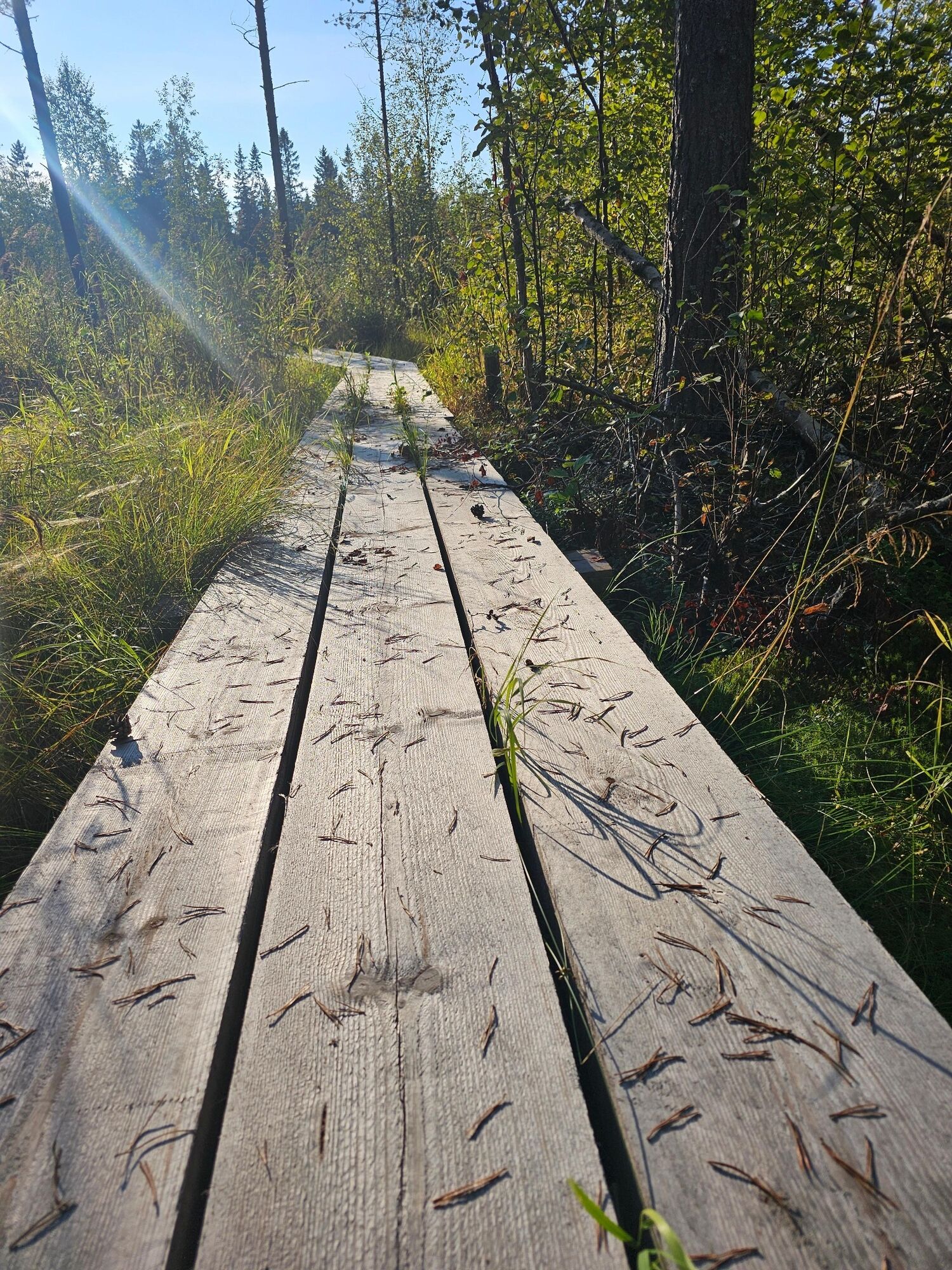
Level of difficulty: road sections of the route are easy to negotiate, the section between...
Syölätti route
Length 10,4 km + 5,3 km, route colour-coded blue
End points Pyhäjoki Centre and Parhalahti School,
Level of difficulty: road sections of the route are easy to negotiate, the section between Syölätti and Ollinmäki has duckboards, wet sections and in many places challenging new forest paths and deep ditches.
Things to see: the Kauko fishing beach, Ylimattila arboretum
Caution: traffic on the narrow Parhalahdentie road

The route starts from the parking lot between Hourulantie and Kuntatie 64.464245, 24.261278
Route operator Pyhäjoki Municipality
Route maintenance Putkivoima Oy 045 6503486
The starting points of the route are in the parking lot behind Pookitalo and in the yard of Parhalahti school. Note! The route maps in the field are outdated and show the route going through Pietipuhto, but in reality the route goes from Syölätti to Ollinmäki and along the cycle path to Parhalahti! Experienced mountain bikers can also try the route on a mountain bike, but the ditch crossings and challenging forest trails cannot be negotiated without walking the bike. On this route, the route markings are fairly easy to find, but from the centre to Kauko, there are no markings at all. This route is a nice challenge for walkers, but is also suitable for cyclists with a spirit of adventure.
Popularne wycieczki w okolicy
Tullikivi route, Piehinki
średniMountainbike 28,5 kmRistimaa route, Piehinki
światłoMountainbike 7,94 kmElävisluoto route, Pyhäjoki
średniMountainbike 10,3 kmPyhäjoki river route
światłoJazda na rowerze 22,5 kmThe Musu route, Piehinki
średniMountainbike 16,6 kmPirttikoski art route, Pyhäjoki
światłoJazda na rowerze 11,7 kmHalunen route, Pyhäjoki
światłoMountainbike 9,79 kmVuotinperä route, Pyhäjoki
światłoMountainbike 5,57 kmKultaranta route, Pyhäjoki
światłoMountainbike 2,65 kmTervaneva route, Pyhäjoki
średniMountainbike 5,15 km
Wędrówki i tropienie


Nie przegap ofert i inspiracji na następne wakacje
Twój adres e-mail została dodana do listy mailingowej.