





Hiking trail to Raution Eihveli
The hiking trail to Raution Eihveli is a round trip of about 1.7 kilometres, which is ideal for a peaceful nature walk for outdoor enthusiasts of all ages. The route is easy to follow, but not inaccessible....
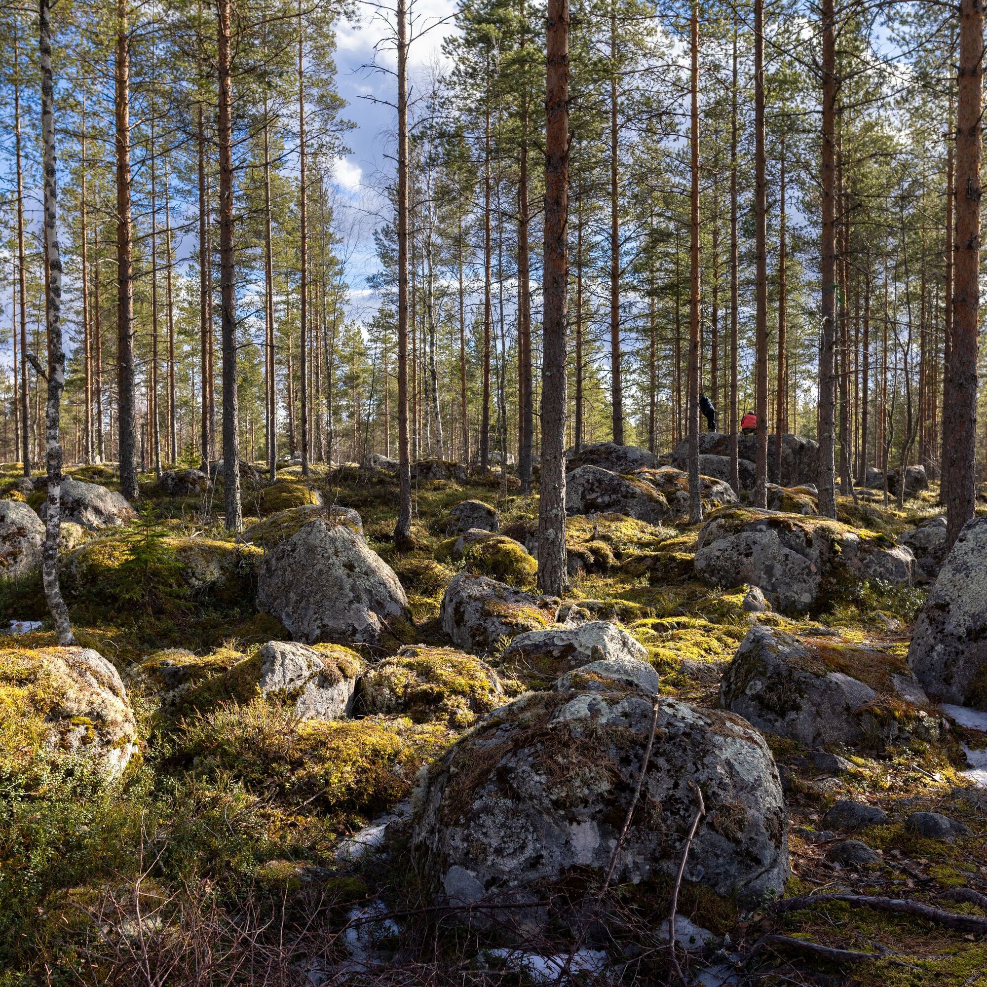
The hiking trail to Raution Eihveli is a round trip of about 1.7 kilometres, which is ideal for a peaceful nature walk for outdoor enthusiasts of all ages. The route is easy to follow, but not inaccessible. The first part of the trail follows a forest road and soon turns into a path that leads you through a lush forest towards a rocky outcrop.
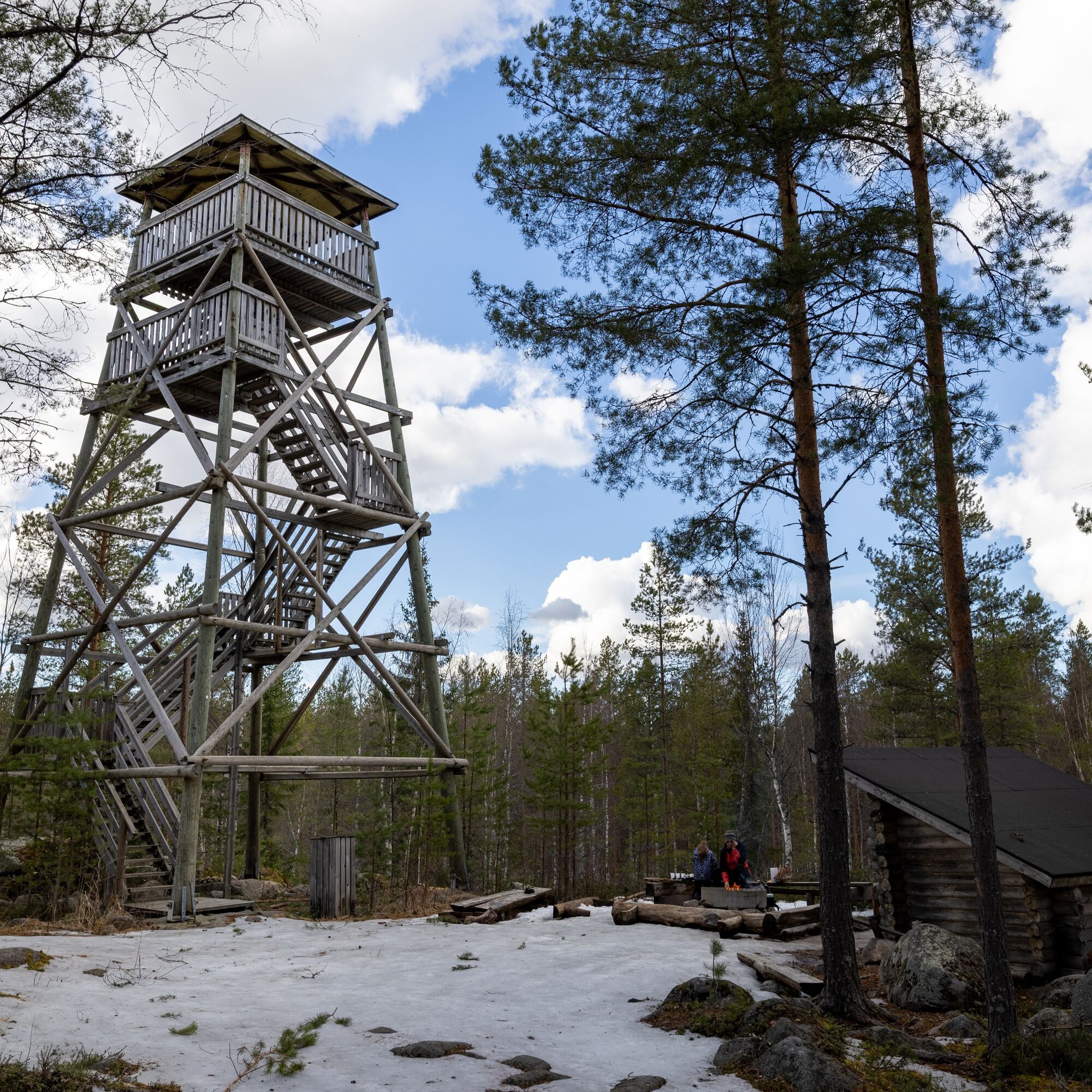
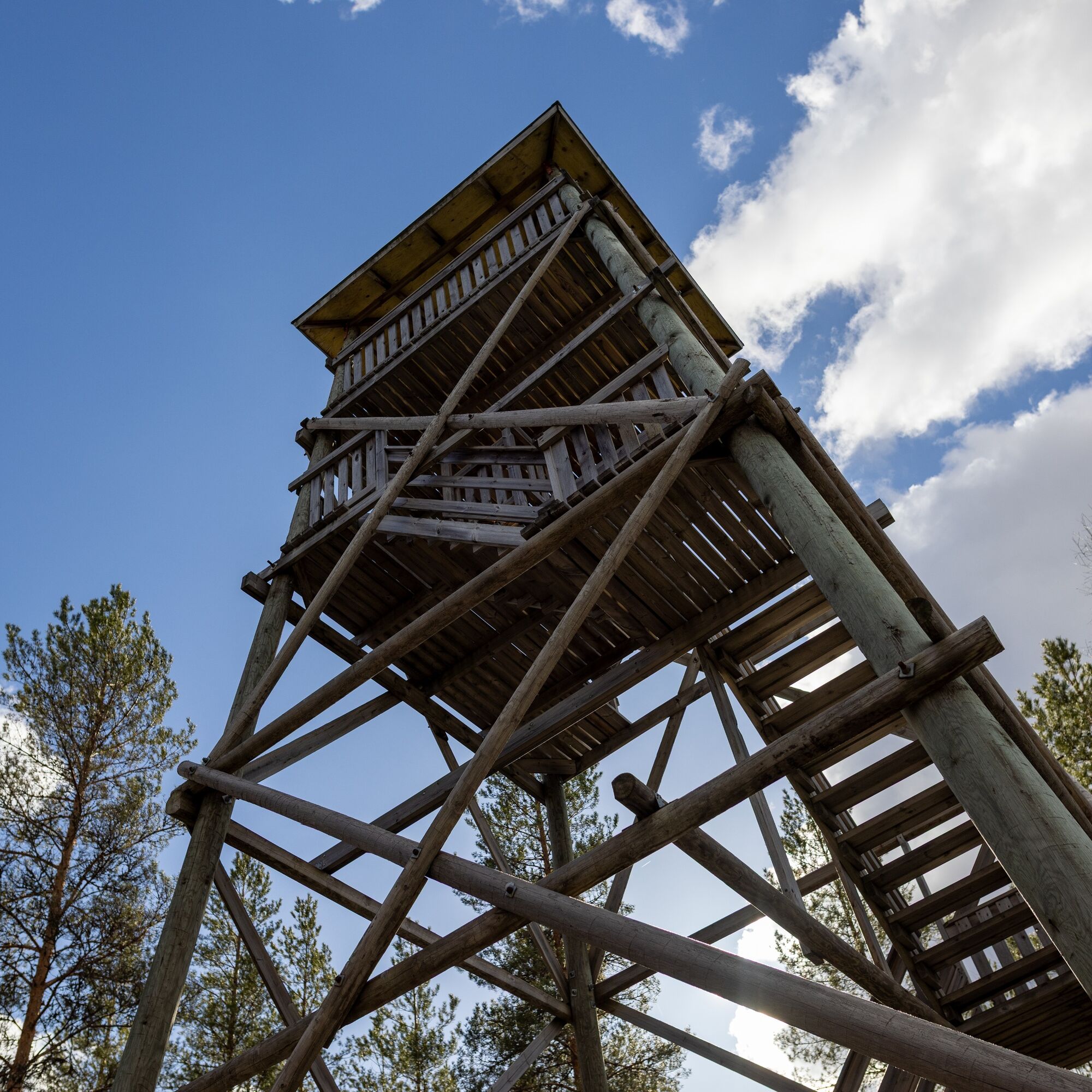
The final part of the trail climbs up the cliff along a flight of steps. At the top, the landscape becomes rocky and the route follows a path winding between rocks. An observation tower rises up on the cliff, offering sweeping views of the surrounding countryside. There are no steep climbs or technically challenging sections, but the stairs and rocky terrain make it impossible to use a pushchair or wheelchair.
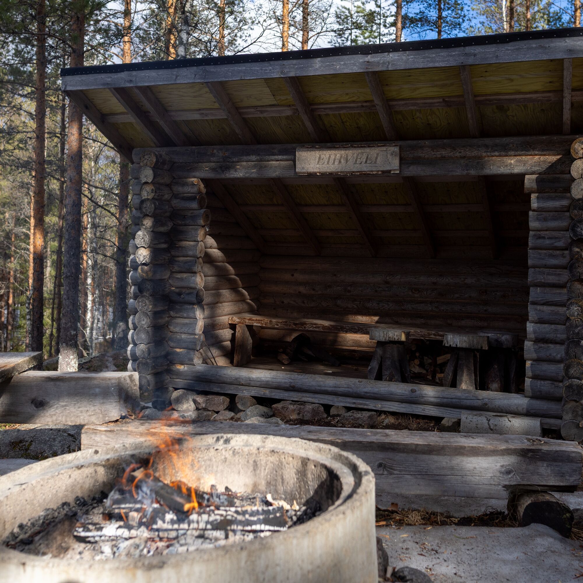
A shelter and campfire site next to the observation tower provide a comfortable place to rest before or after a visit to the tower.

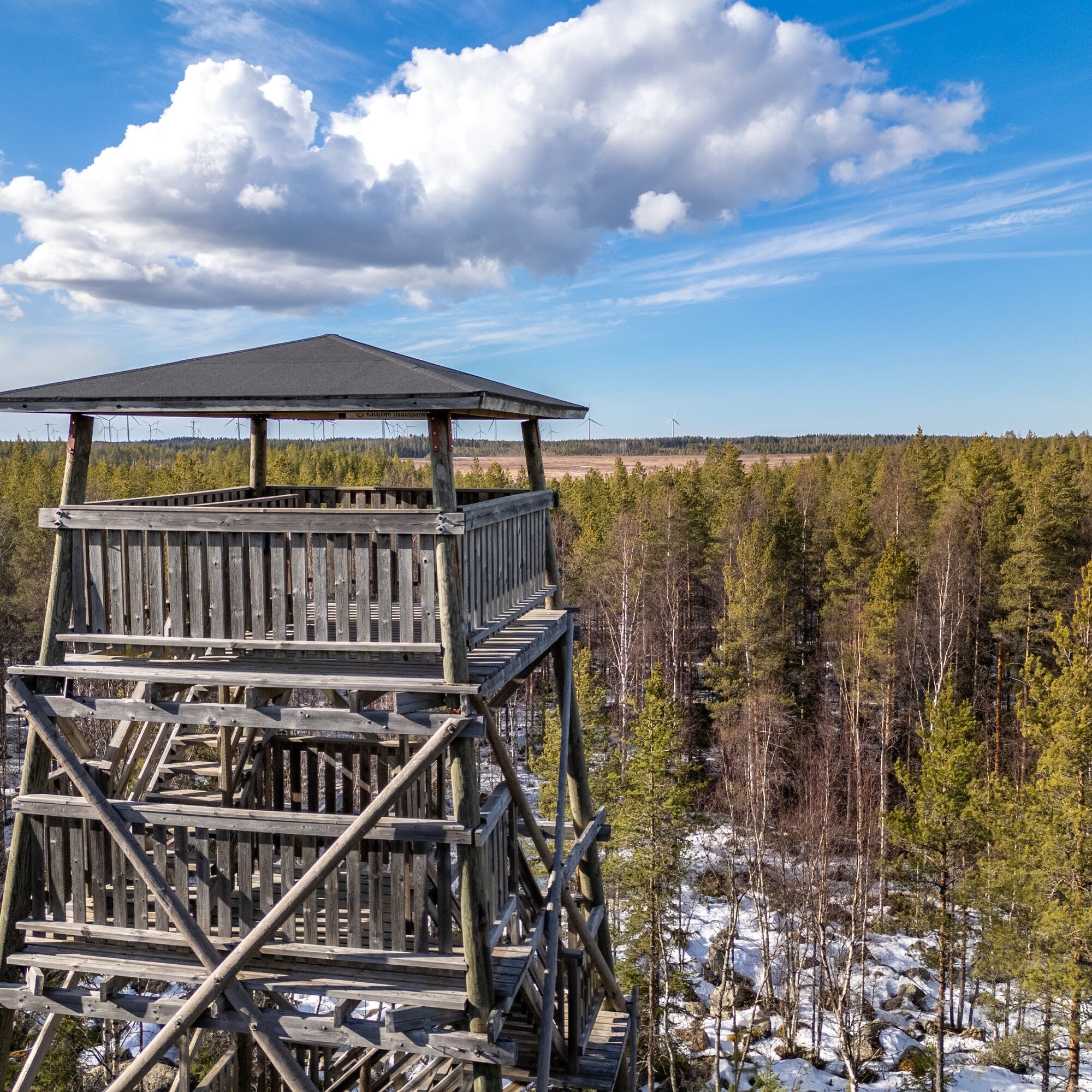
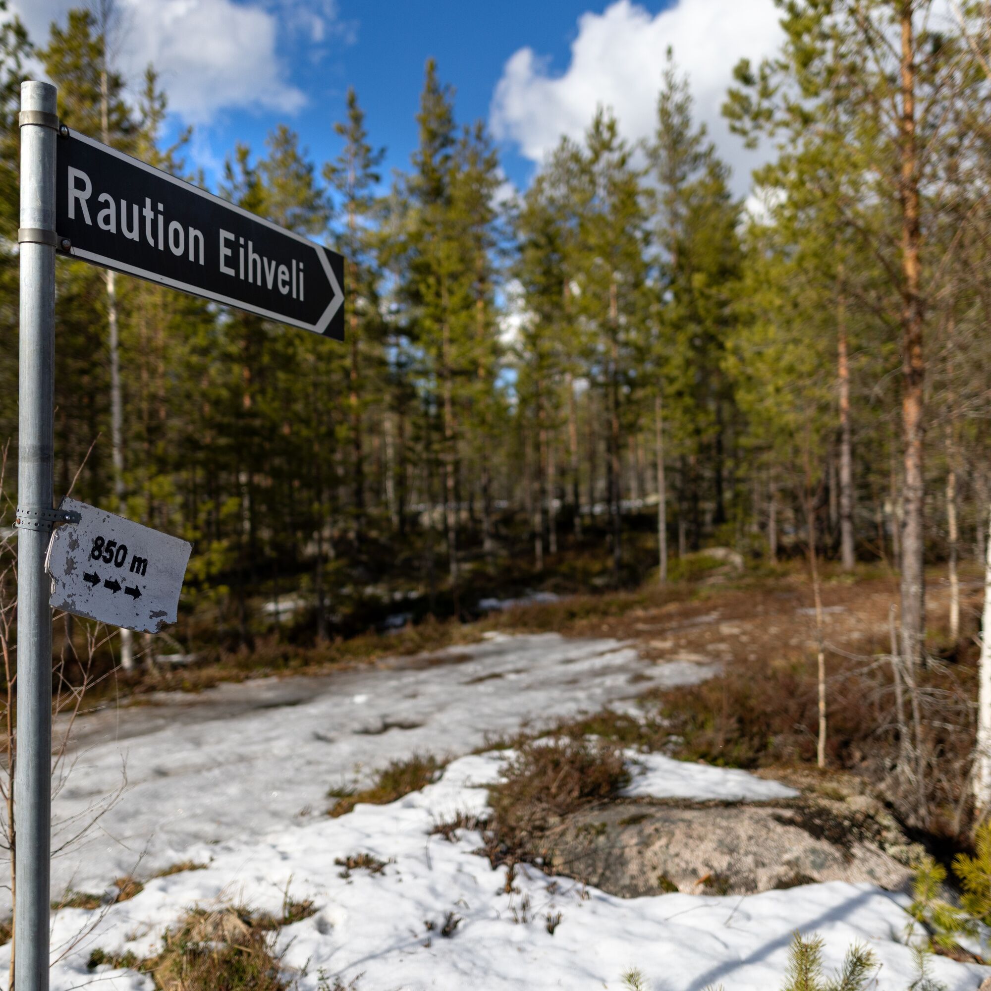
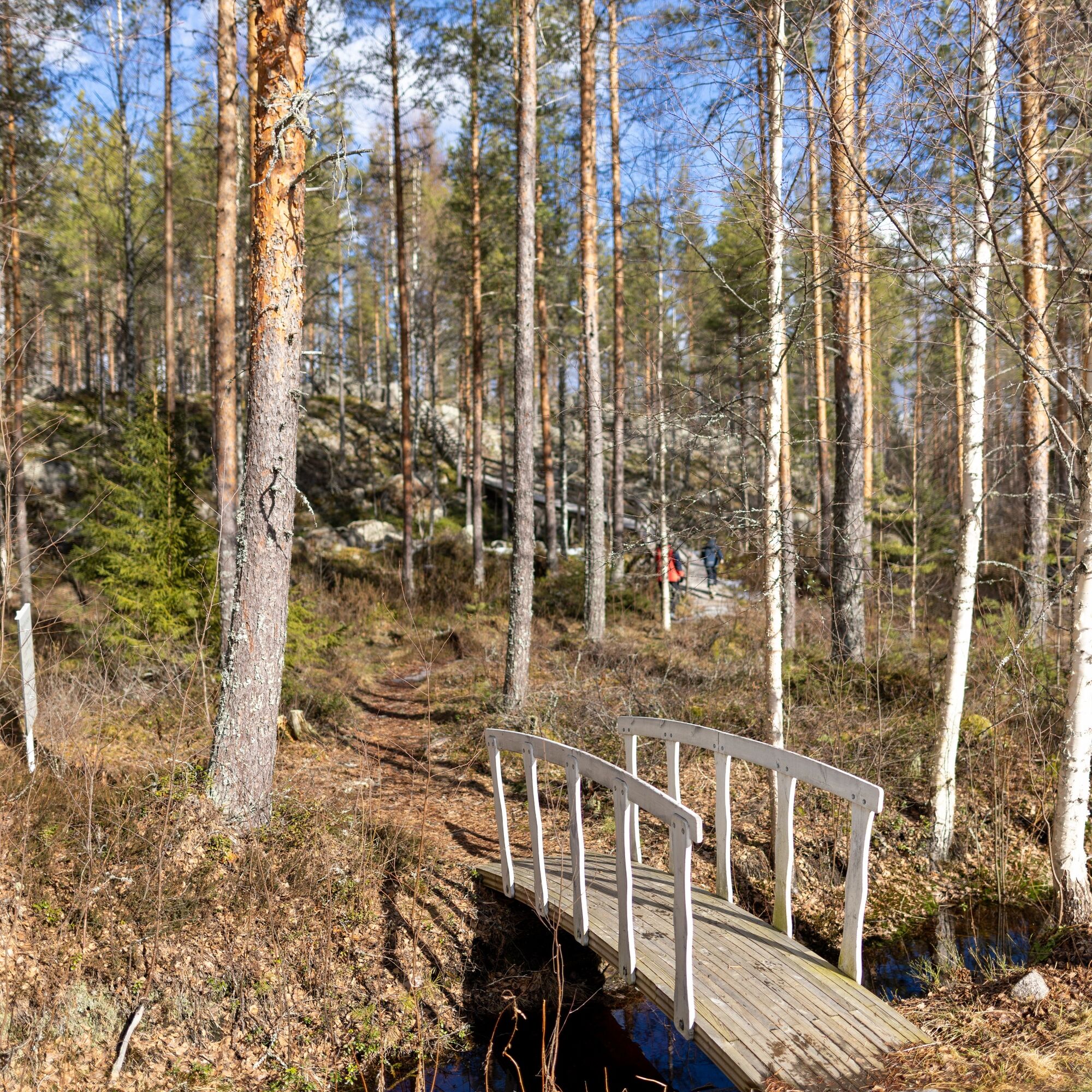
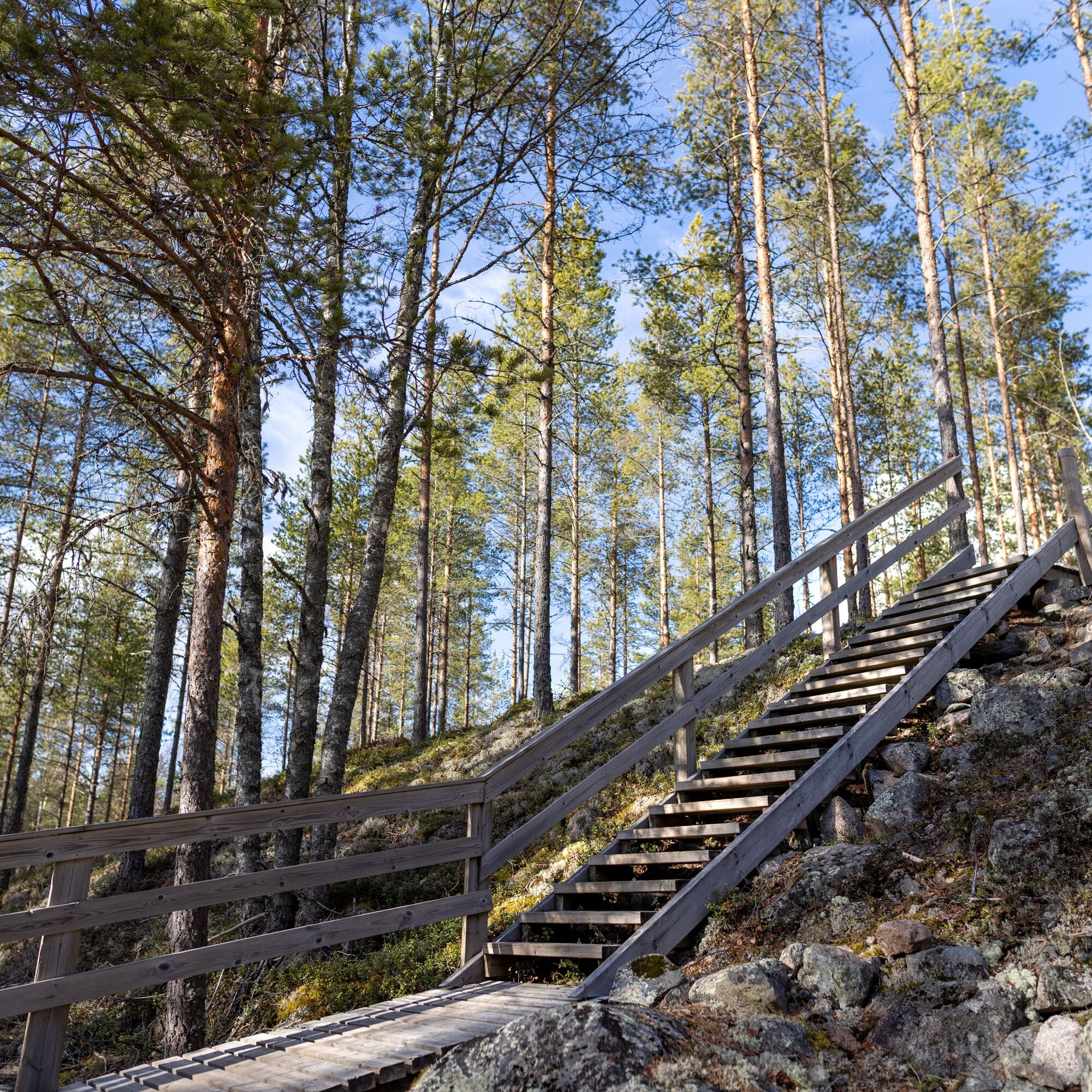
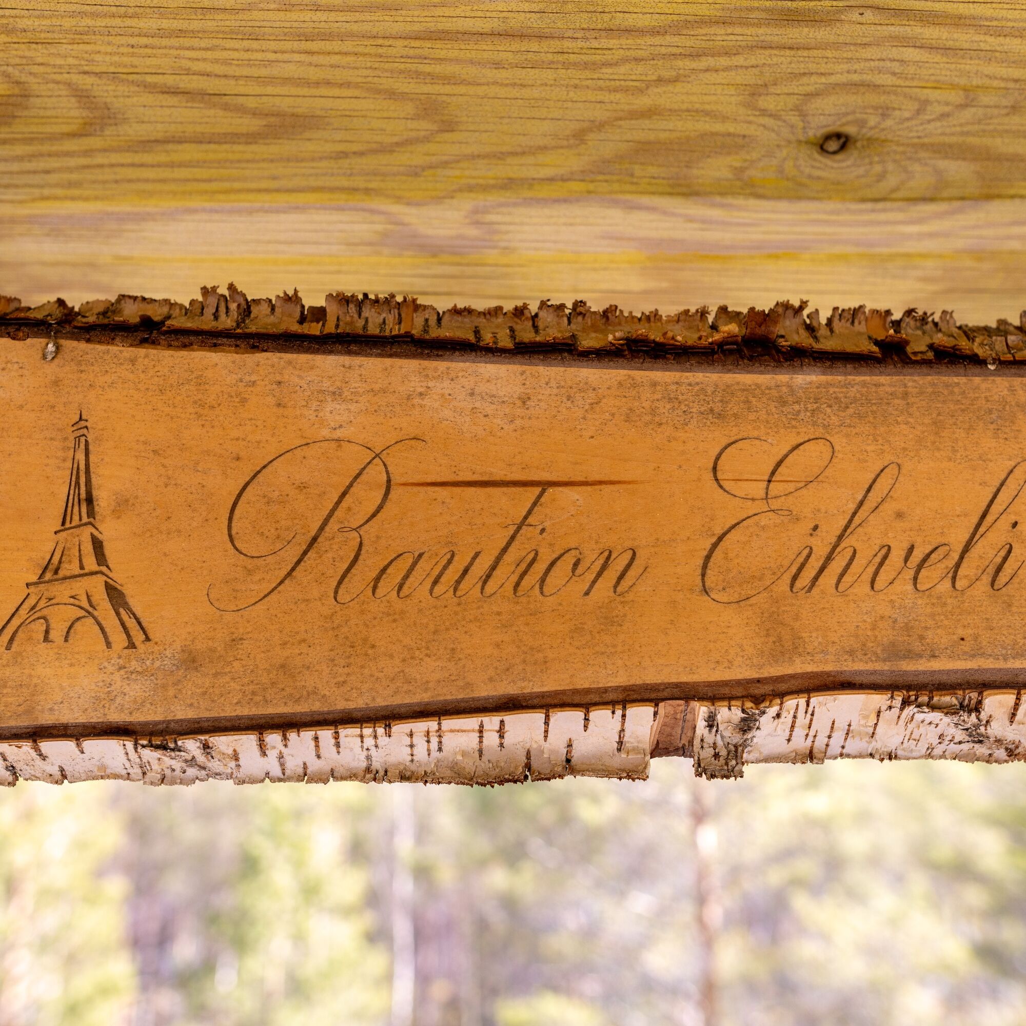
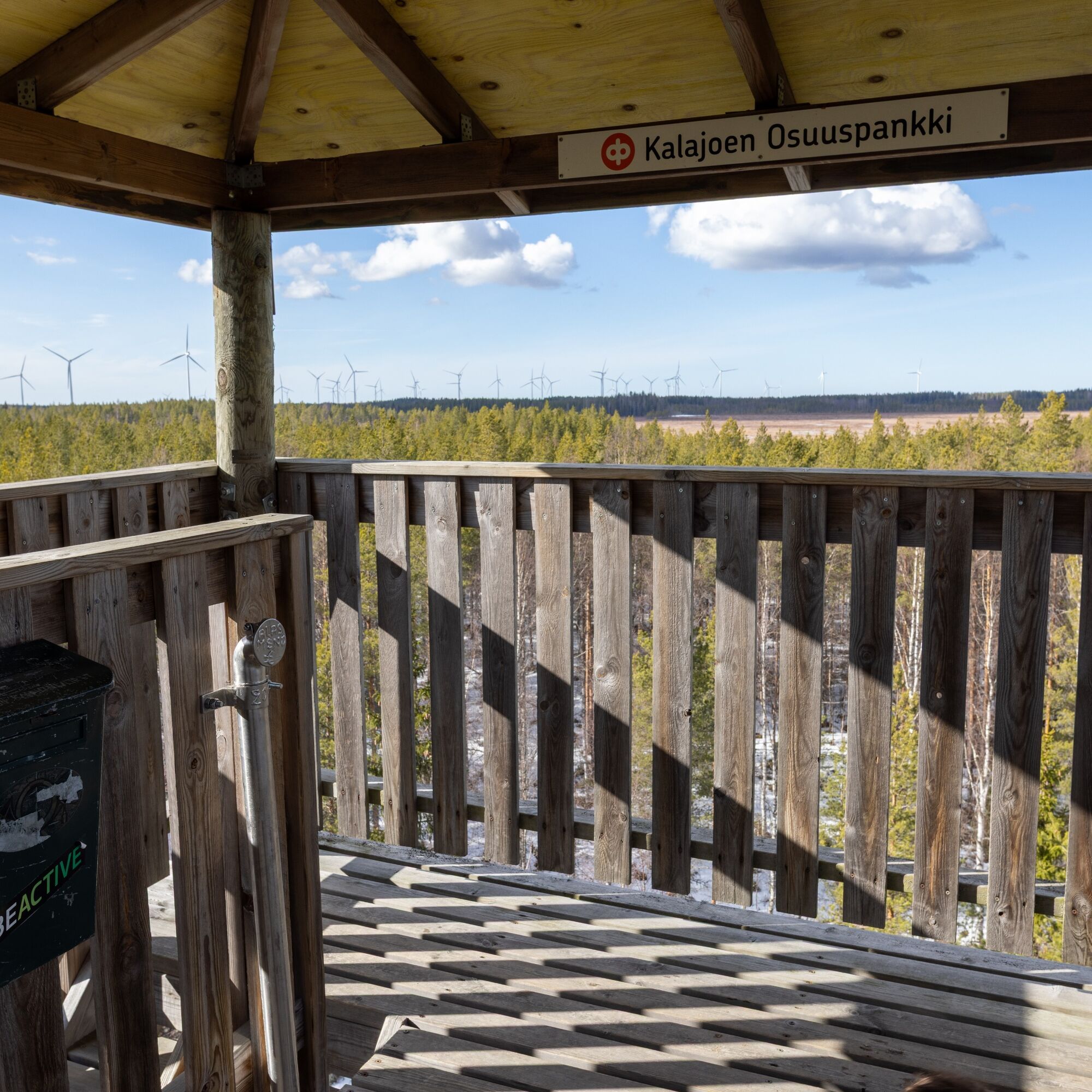
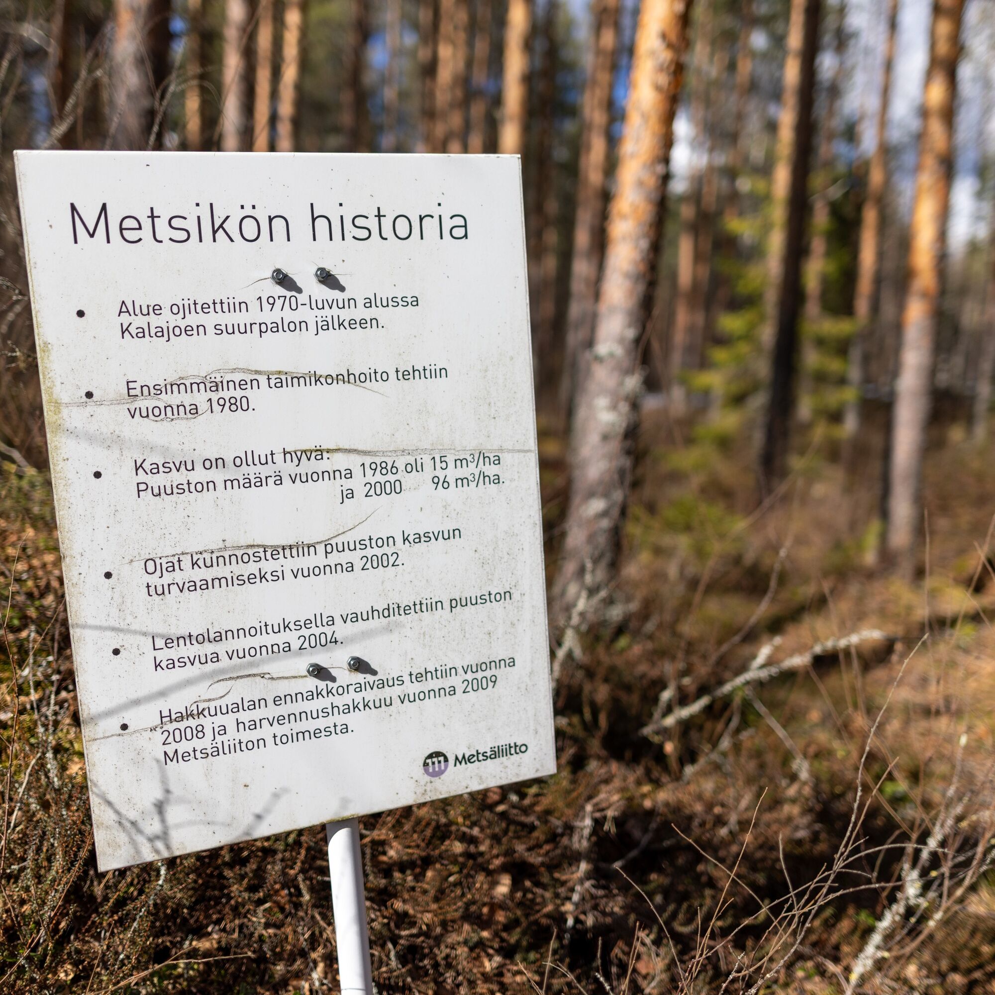
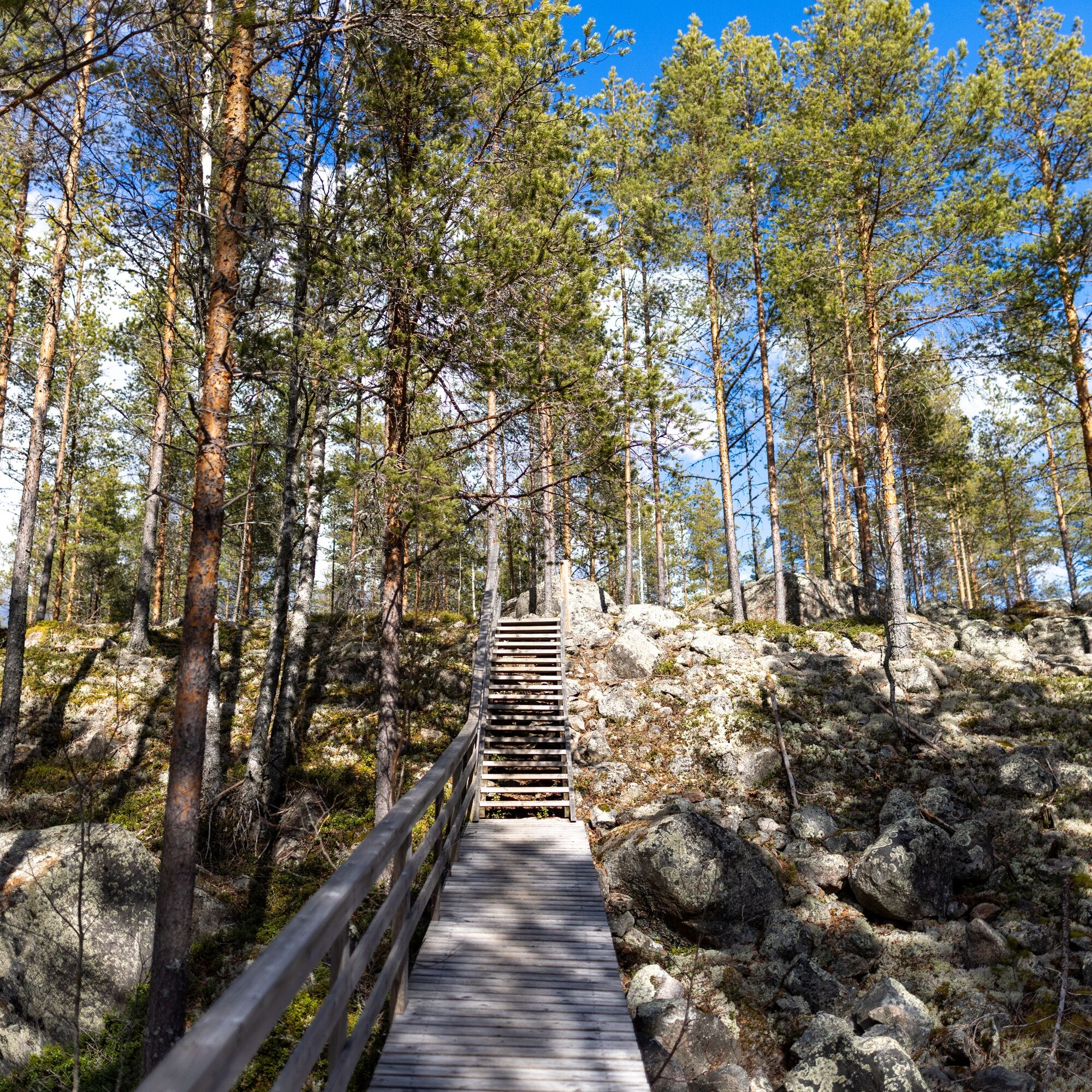
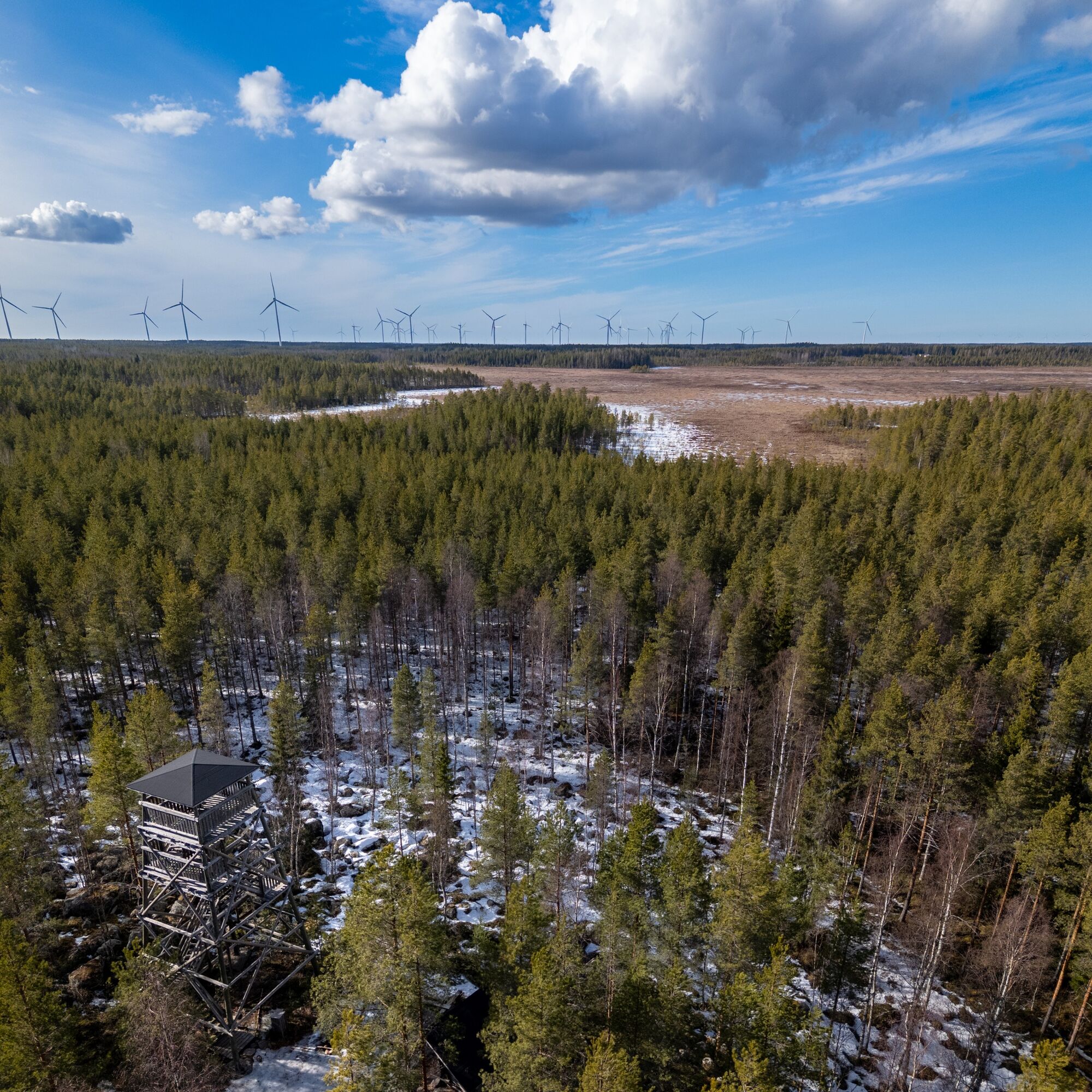

The route to Eihveli is well signposted and easy to find.
Tak
Tak
Tak
Tak
Drive from the village of Raution towards Sievi and follow the signs to Löttälänantie. From Löttälänantie turn to Heikinrannantie and then to Matkusnevantie. Drive along Matkusnevantie until you come to a fork where there is a sign for Raution Eihveli 800m. The forest road is well signposted and Google Maps can also give you good directions.
A few cars can be parked on the forest road width
Rautio is a warm village in Kalajoki, where a sense of community and a strong village spirit are evident in everyday life. Rautio was chosen as Finland's Village of the Year 2022 - the victory was due to the strong spirit of the villagers. Rautio has a unique local atmosphere, and it's definitely worth a visit to the village shop for lunch or coffee. A visit to Rautio is like a little respite from the hustle and bustle of village life.
Popularne wycieczki w okolicy
-
The nature trail around Pitkäjärvi
Wędrówka 6,82 km -
Rautio nature network
średniMountainbike 27,3 km -
Naturetrail around Kivikangas and Pitkäjärvi
Wędrówka 8,76 km -
Rautio nature trail - Oravakorpi
światłoMountainbike 7,82 km -
Kannus
ciężkiMountainbike 34,7 km -
Kannus
średniMountainbike 11,9 km -
Kitinkangas
Mountainbike 29,1 km -
Kannus
światłoWędrówka 3,33 km -
Rautio nature route
średniMountainbike 27,3 km -
The Susisaari route
średniMountainbike 25,2 km
Wędrówki i tropienie


Nie przegap ofert i inspiracji na następne wakacje
Twój adres e-mail została dodana do listy mailingowej.





