





Kaltimon kierto

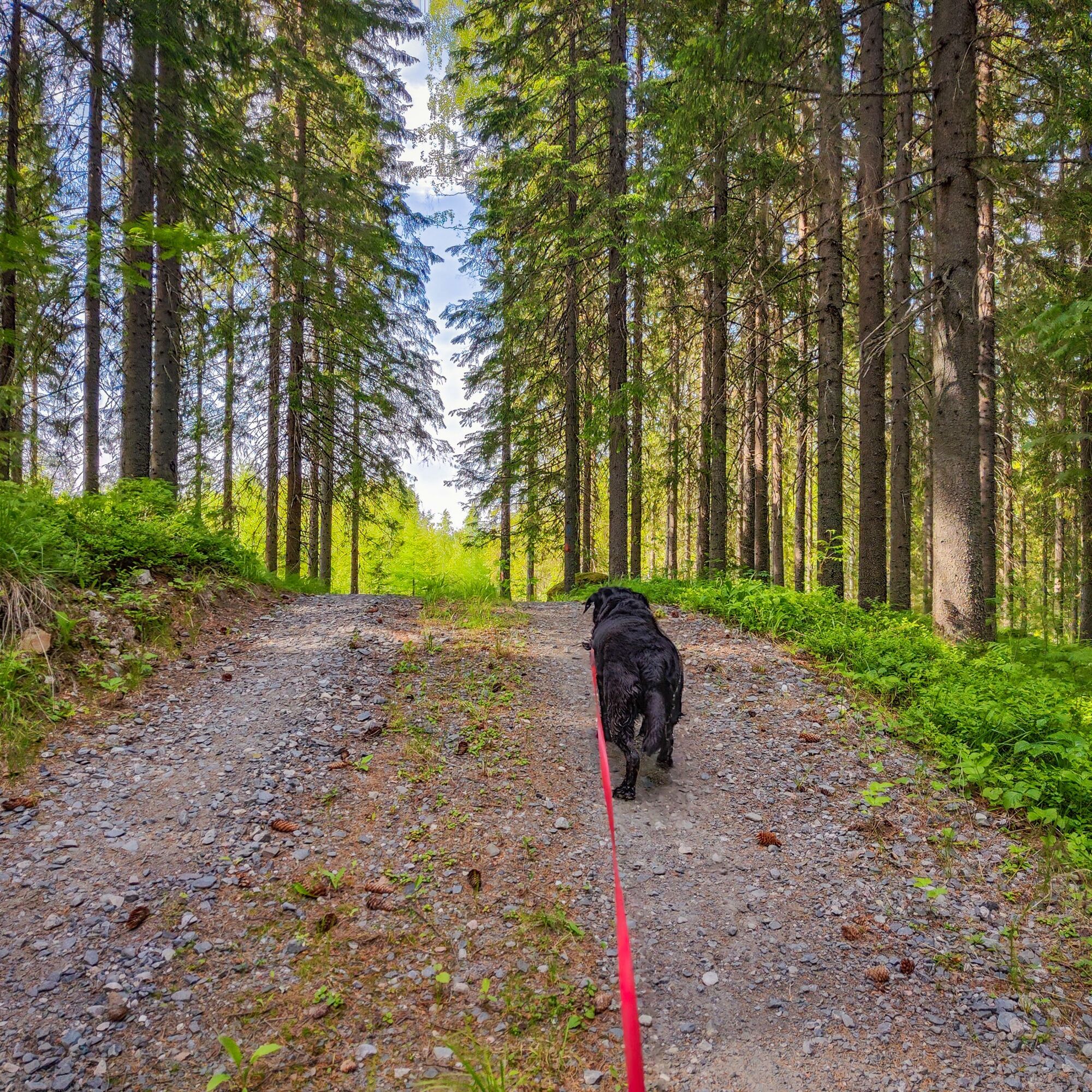
Those craving challenging fell climbs will enjoy the clearly marked 25 km Kaltimon kierto route. The journey includes many forest road sections and leisurely trails, but in some places the walker will...
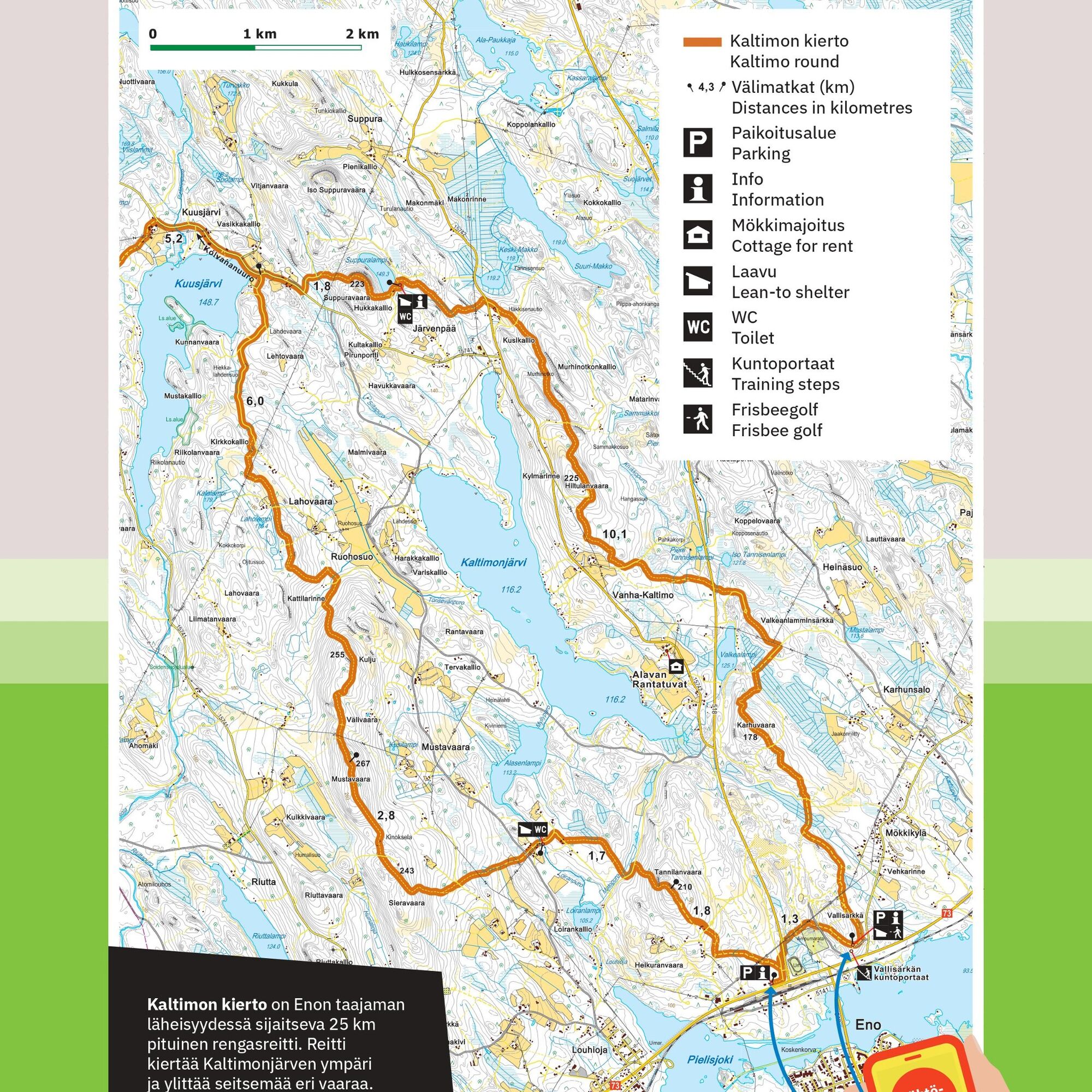
Those craving challenging fell climbs will enjoy the clearly marked 25 km Kaltimon kierto route. The journey includes many forest road sections and leisurely trails, but in some places the walker will need to really engage four-wheel drive to reach the most stunning scenic summits. The route circles Kaltimojärvi, climbing seven fells, the highest being 268 meters high Mustavaara. The most breathtaking views open from the 223-meter-high Suppuravaara.
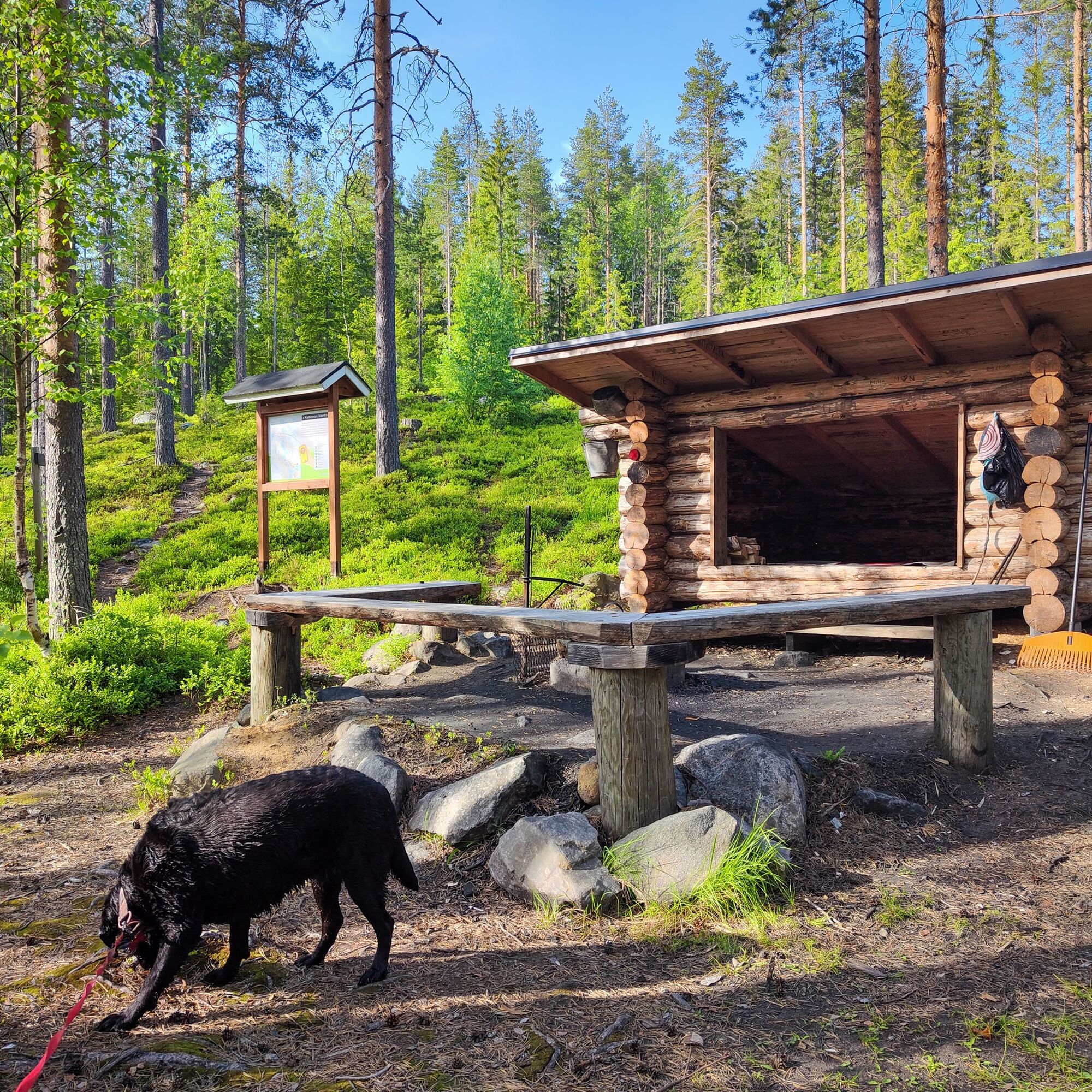
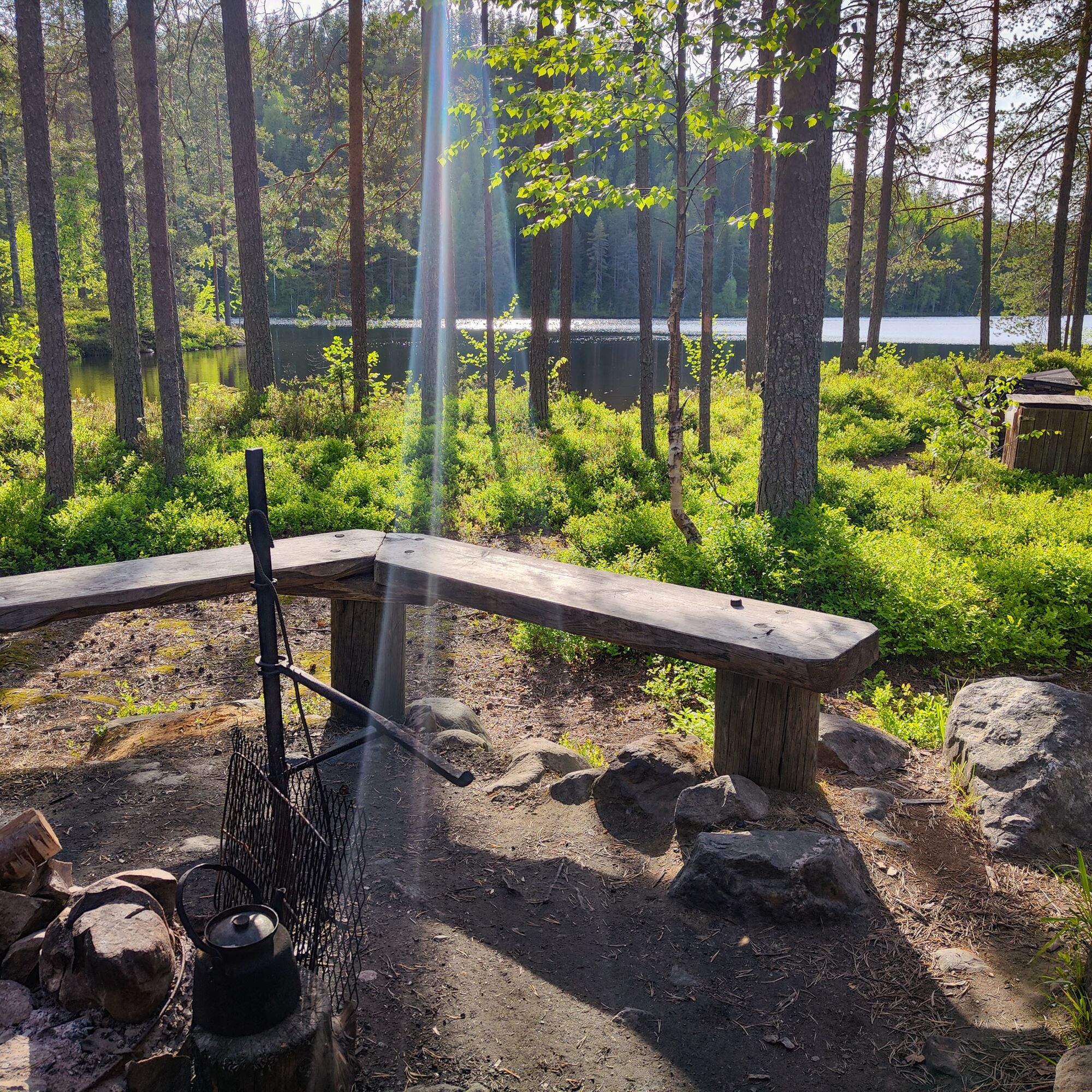
A natural starting point for the trip is the Eno end, i.e. the southern edge of the route. Here the beautiful lean-to of Suppuralampi is conveniently located roughly halfway through the hike. Going clockwise, the toughest sections come during the first half of the route. The route's other lean-to at Loira has scenery that is less impressive than Suppuralampi.
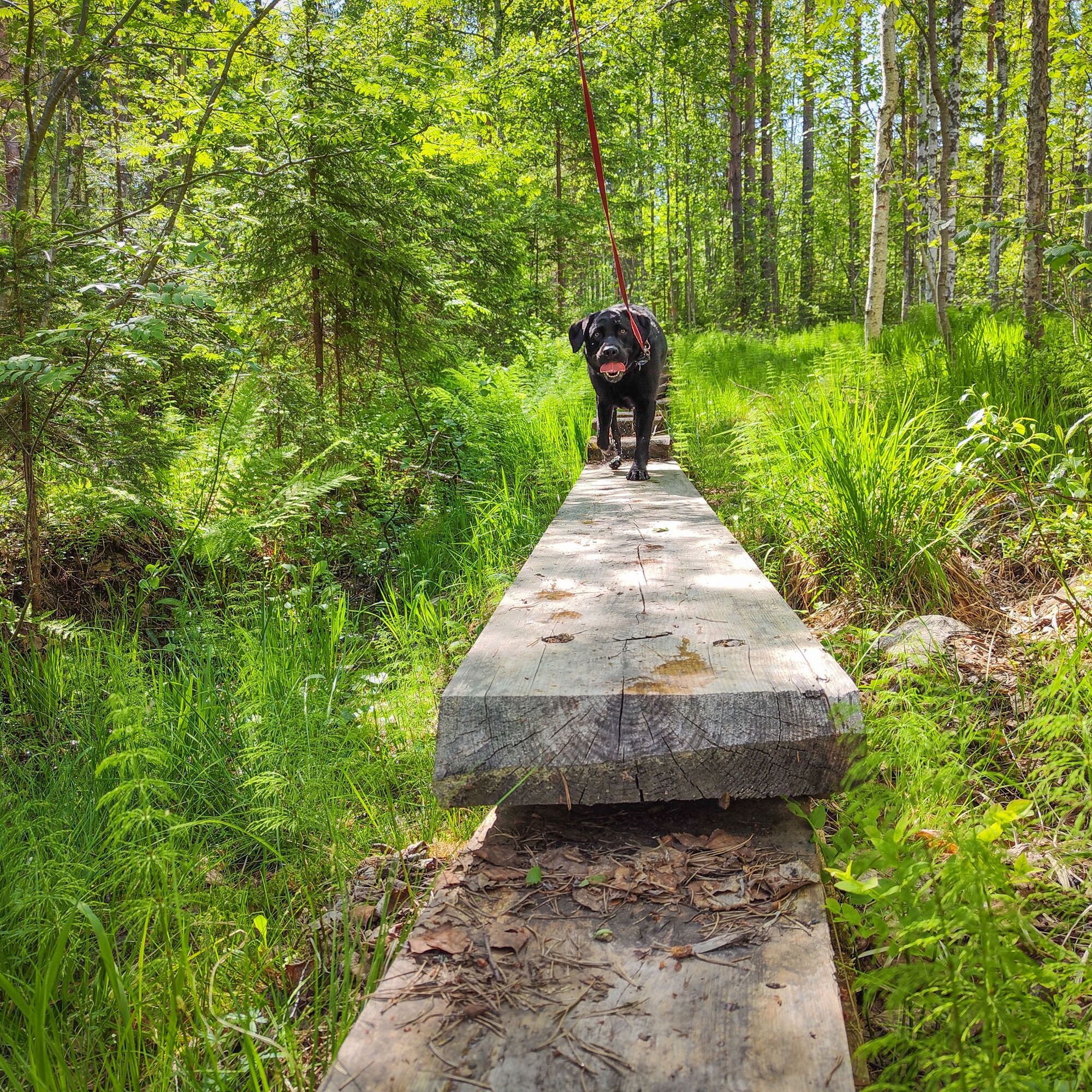
On the Kaltimon kierto route, you can experience both fell landscapes and the atmosphere of lush creek valleys. Logging clearings dot the route in many places. In addition to a one-night hike, the route is also well suited as a day quick march destination for experienced walkers craving vertical meters. The Suppuralampi lean-to and Suppuravaara form a nice point destination for a day trip for those seeking a one-day nature adventure.

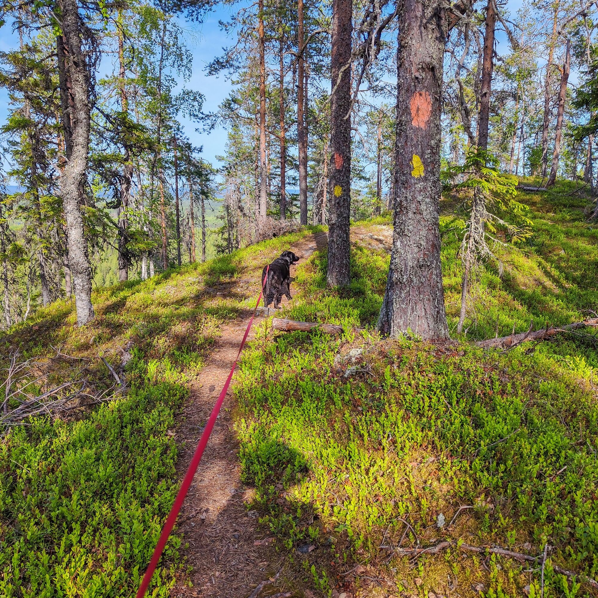
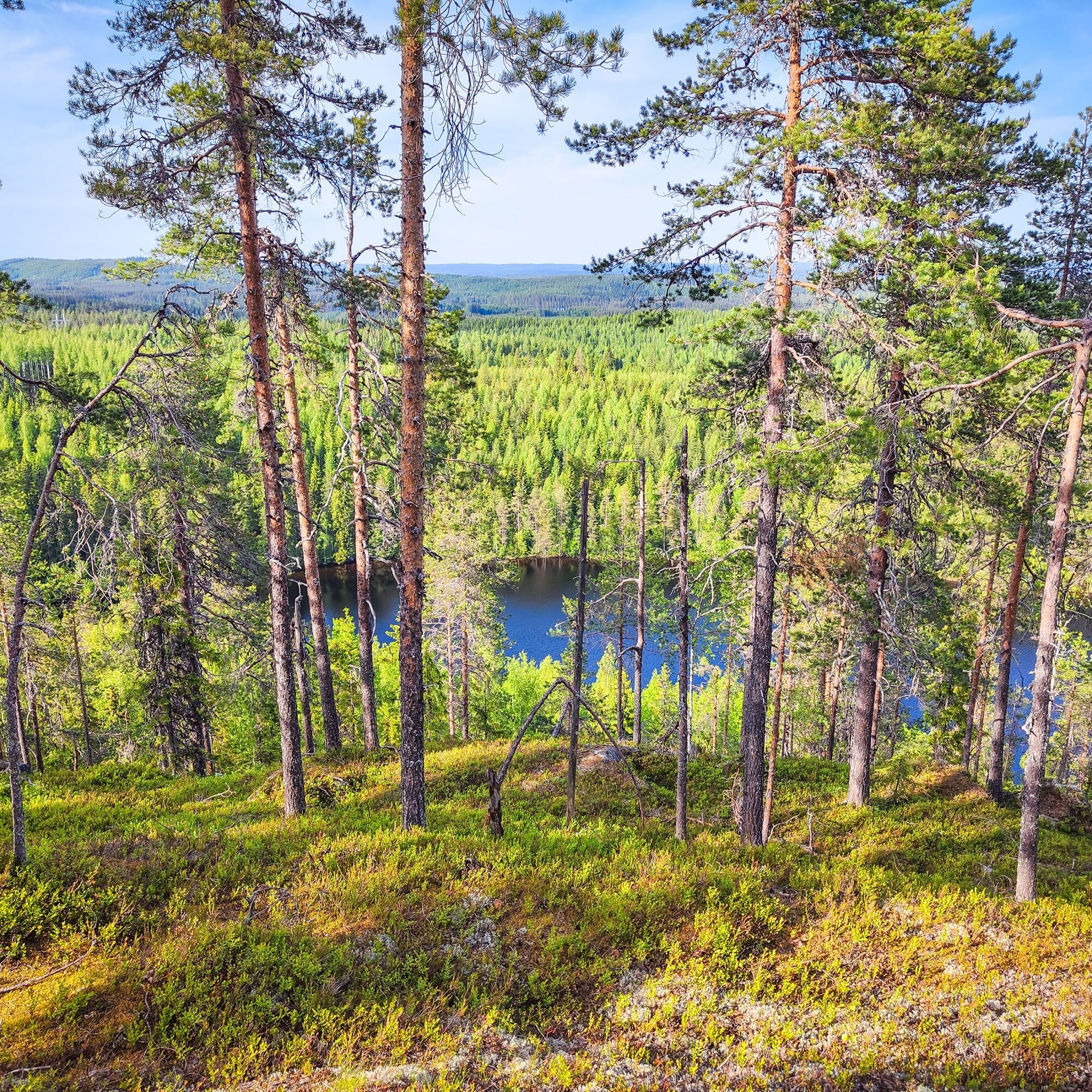
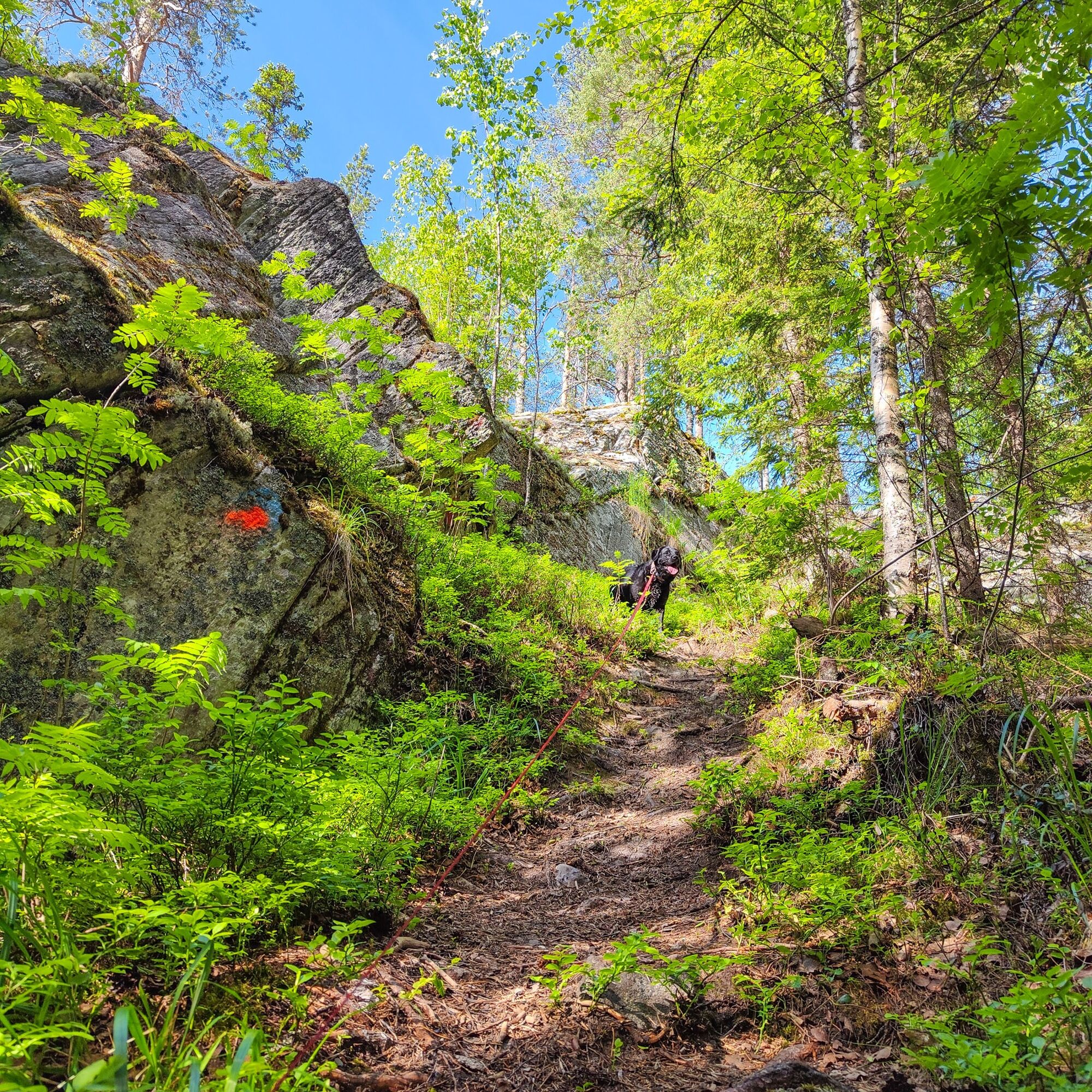
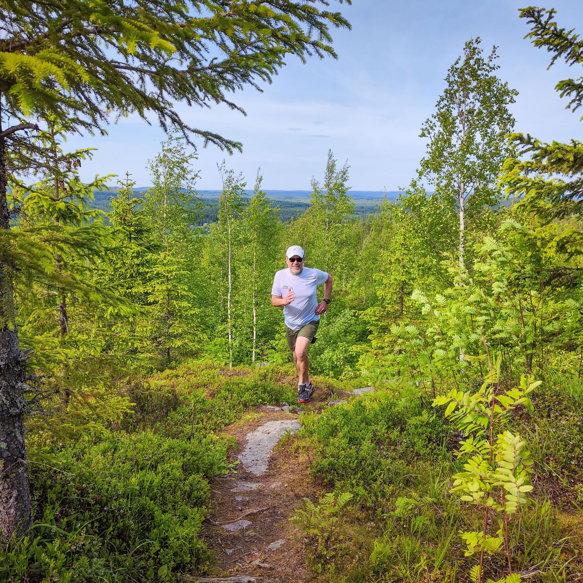
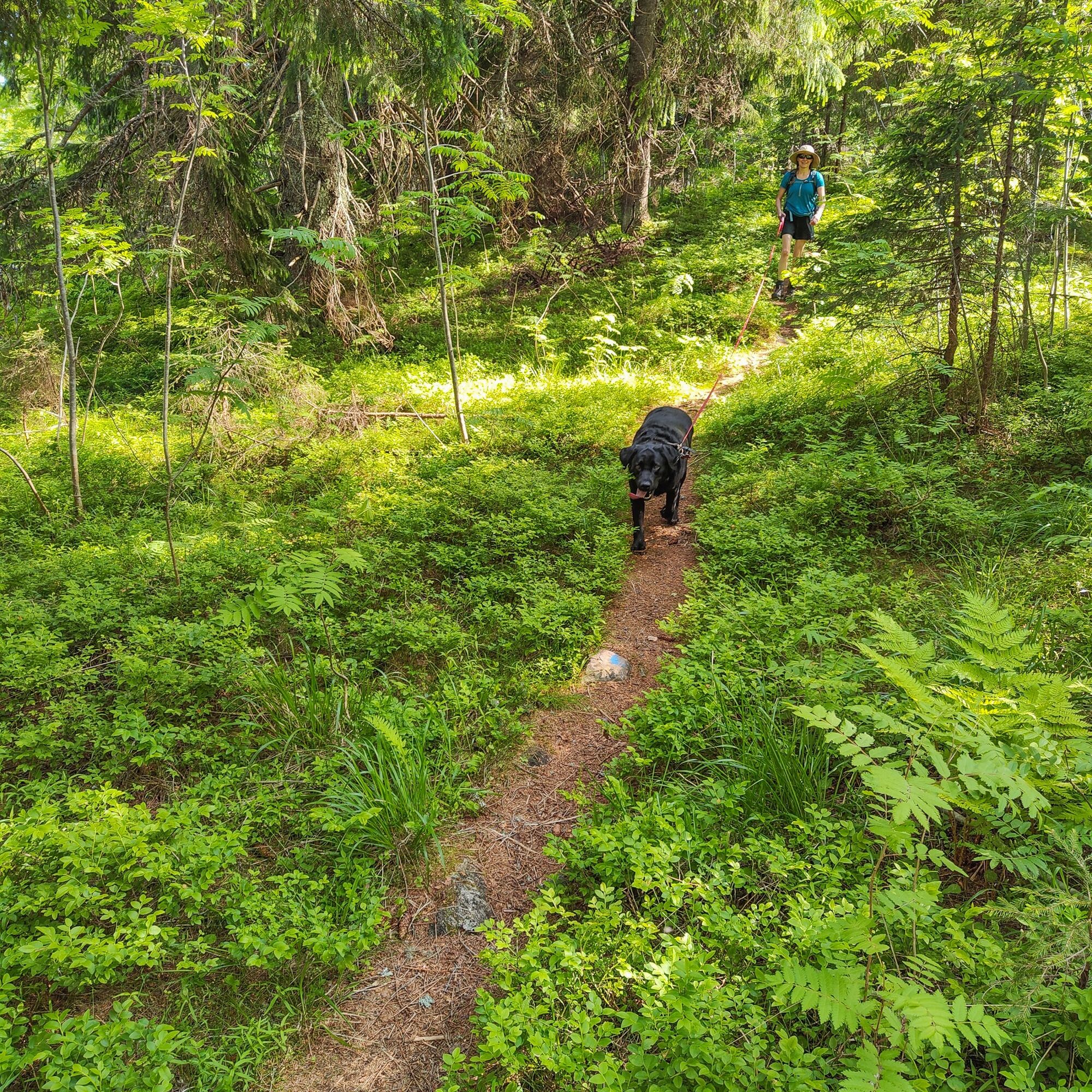

Orange markings on the route.
Tak
Equipment suitable for outdoor activities
Your own knife and matches if you want to make a fire.
Download the 112 app
Joensuuntie 50, Eno
You can reach the starting point from Joensuu by bus and train.
Bus schedules https://joensuu.digitransit.fi/ (Starting point address Joensuuntie 50, Joensuu)
The train station is named Eno, from which the route's starting point is about 200 m as the crow flies. The road distance is about 1.2 km.
Joensuuntie 50, Eno
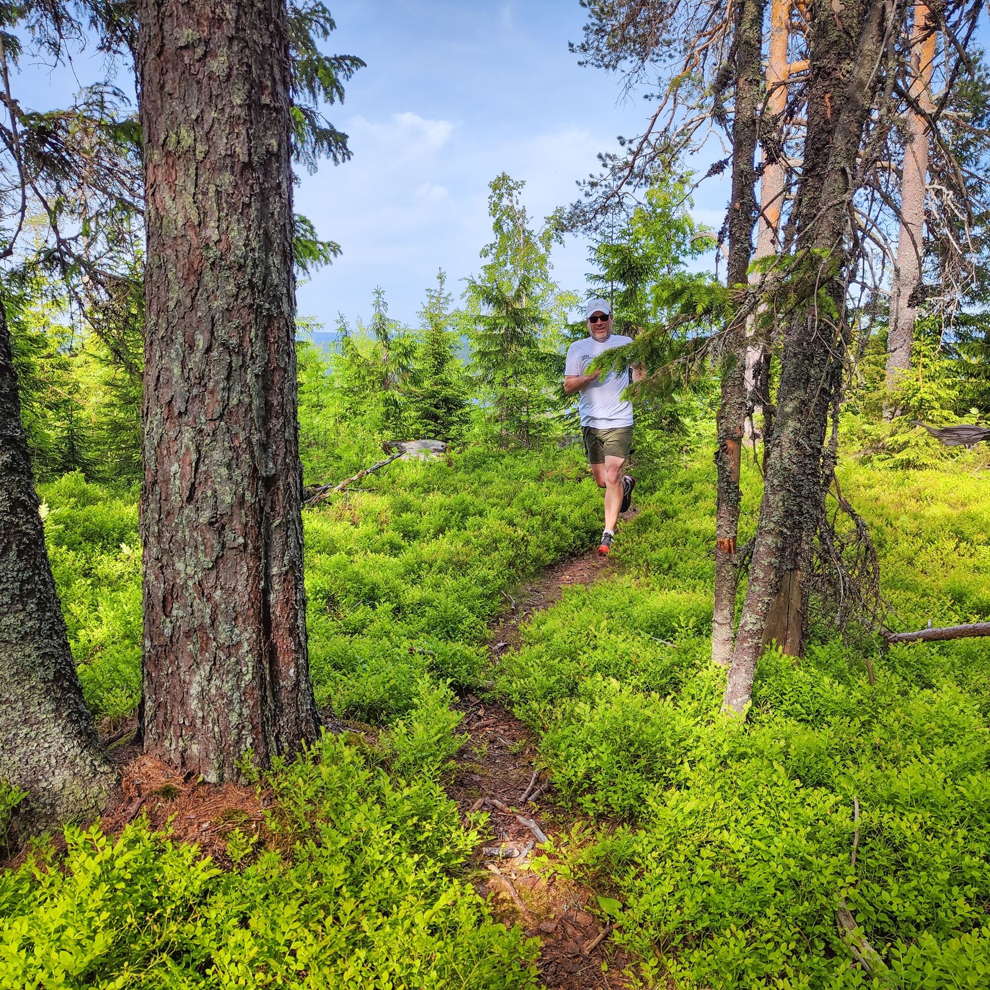
This is also a nice route for trail running
Great views from the tops of the fells.
Popularne wycieczki w okolicy
-
Hepopuro nature trail
średniWędrówka 5,93 km -
Kolvananuuro nature trail
ciężkiWędrówka 5,41 km -
Koli trail
średniWędrówka 62,1 km -
Kiviniemi - Kolinvaara - Ahvenlampi - Juomavesi
ciężkidługodystansowy szlak pieszy 30,6 km -
Kiviniemi - Ahvenlampi - Kolinvaara - Juomavesi
ciężkiTrailrunning 30,2 km -
Koli - Kolin Ryynänen - Heraniemi - Joensuu
ciężkiMountainbike 60,2 km
Wędrówki i tropienie


Nie przegap ofert i inspiracji na następne wakacje
Twój adres e-mail została dodana do listy mailingowej.





