




Raesärkät - nature reserve in ridge landscapes
Raesärkät is also well suited for family outings with children, as the route is easy to walk and there are several resting places along the route within short distances of each other. The nature site is...
Raesärkät is also well suited for family outings with children, as the route is easy to walk and there are several resting places along the route within short distances of each other. The nature site is named after the northwest-southeast oriented narrow ridge formation. Although the ridges dominate the area, you will also find swamps, clear-water lakes, river bends, and old forests. There are even more swamps than forests in the area. The Raesärkät forests vary in age and are mostly barren pine forests and dry heaths. If you are lucky, you might also encounter the charming inhabitants of the forest.
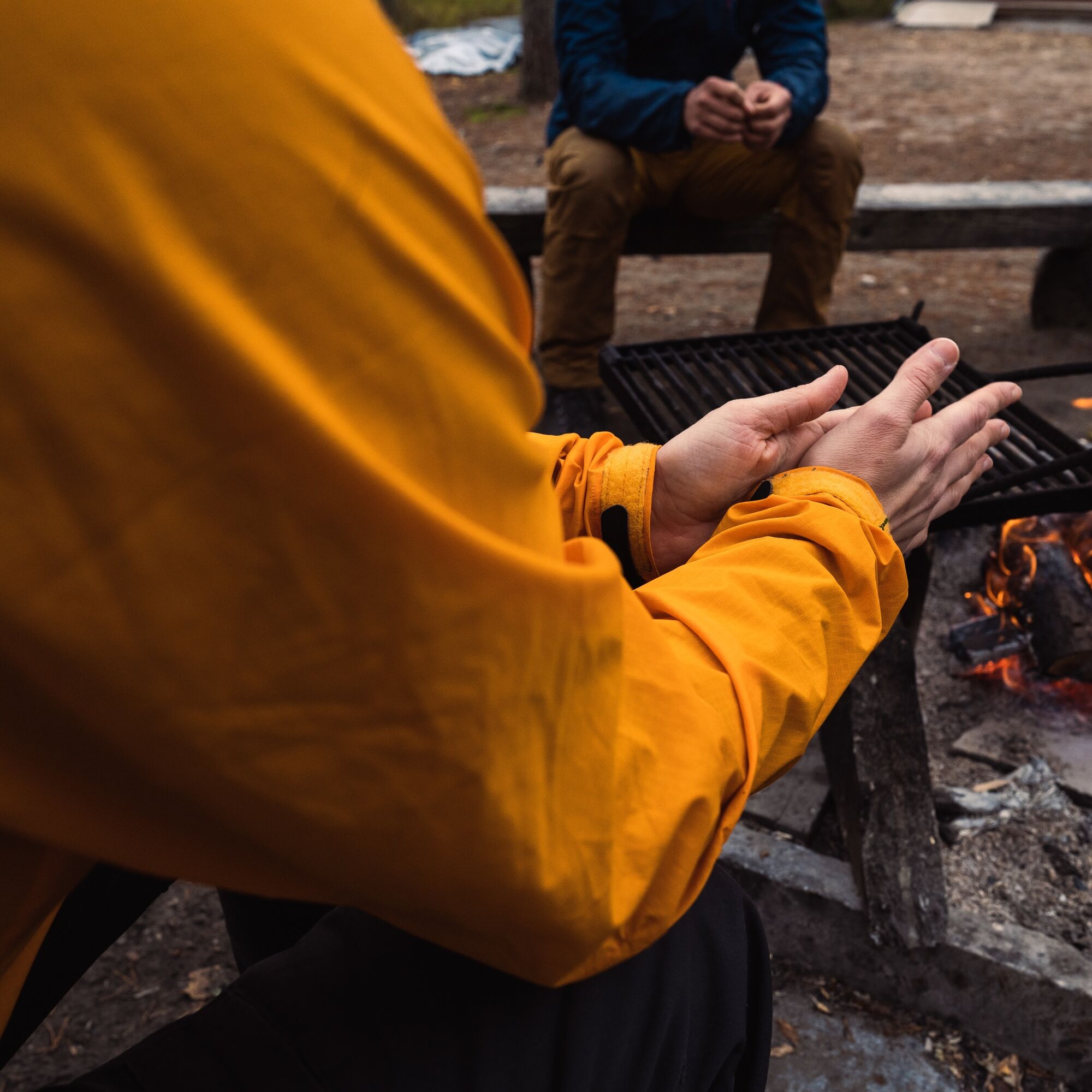
Raesärkät is a popular local nature destination near Nurmes. The Raesärkät route (9.2 km round trip) starts from the parking area, where there is a campfire site and an outdoor toilet. In addition, two trails about a kilometer long circle around Ahven-Valkeinen. Mountain biking is also permitted on the route.
Highlights of the route:
High ridges Swamp landscapes Dark ponds
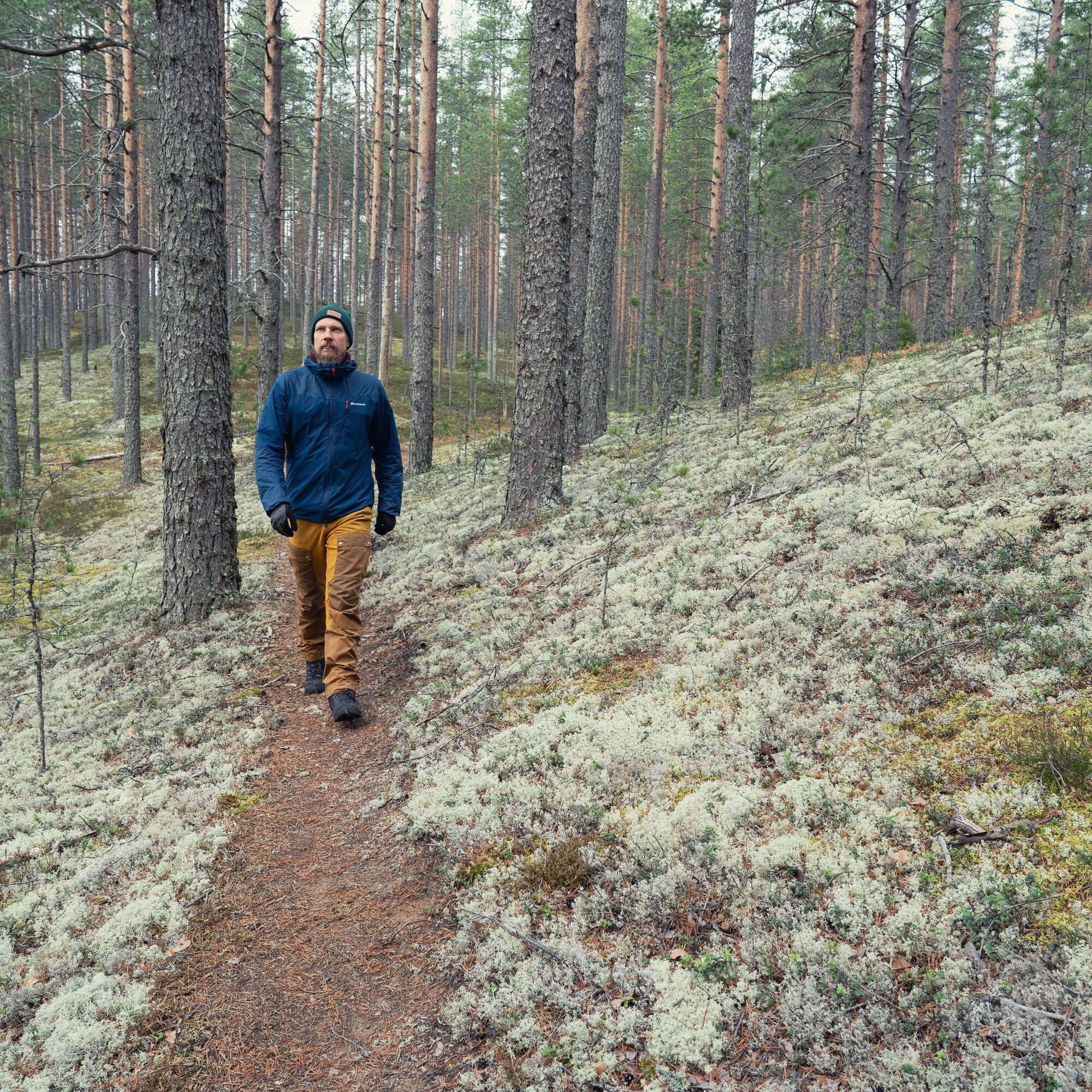
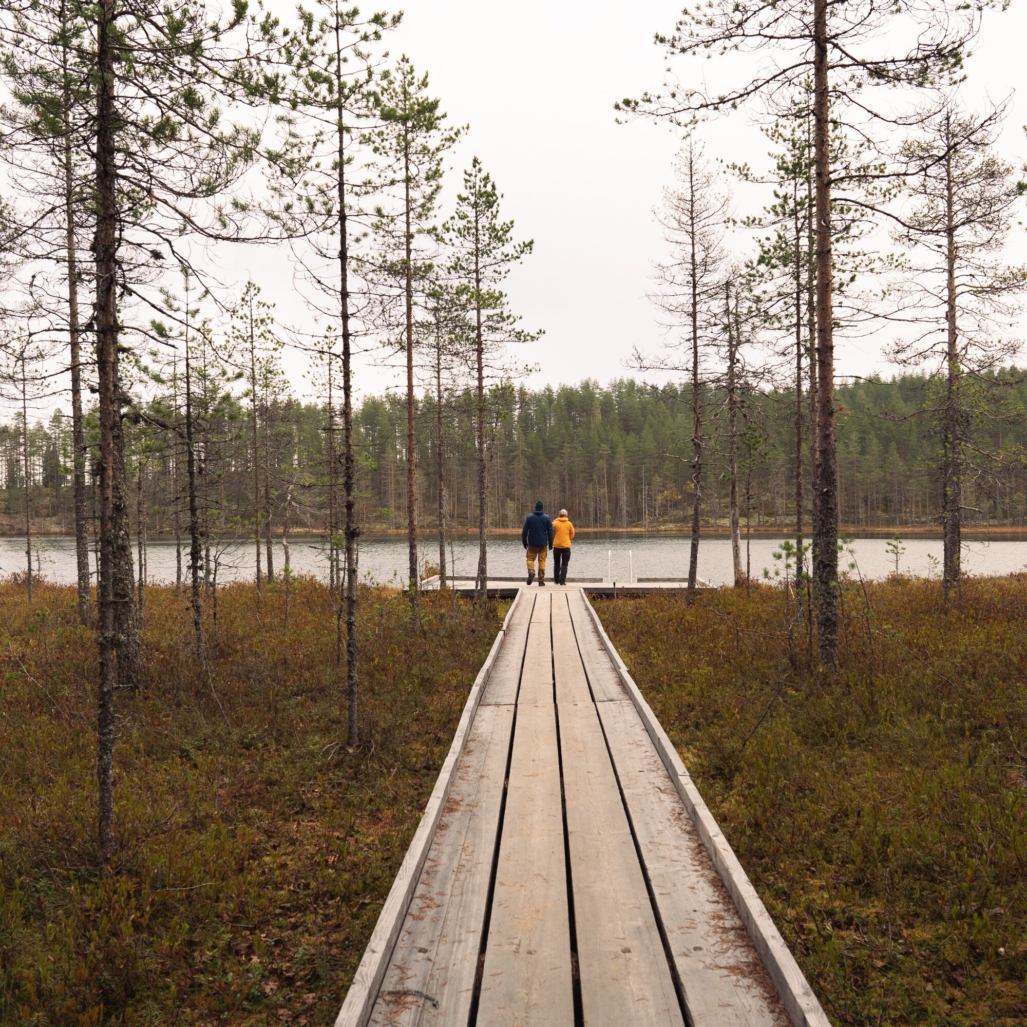
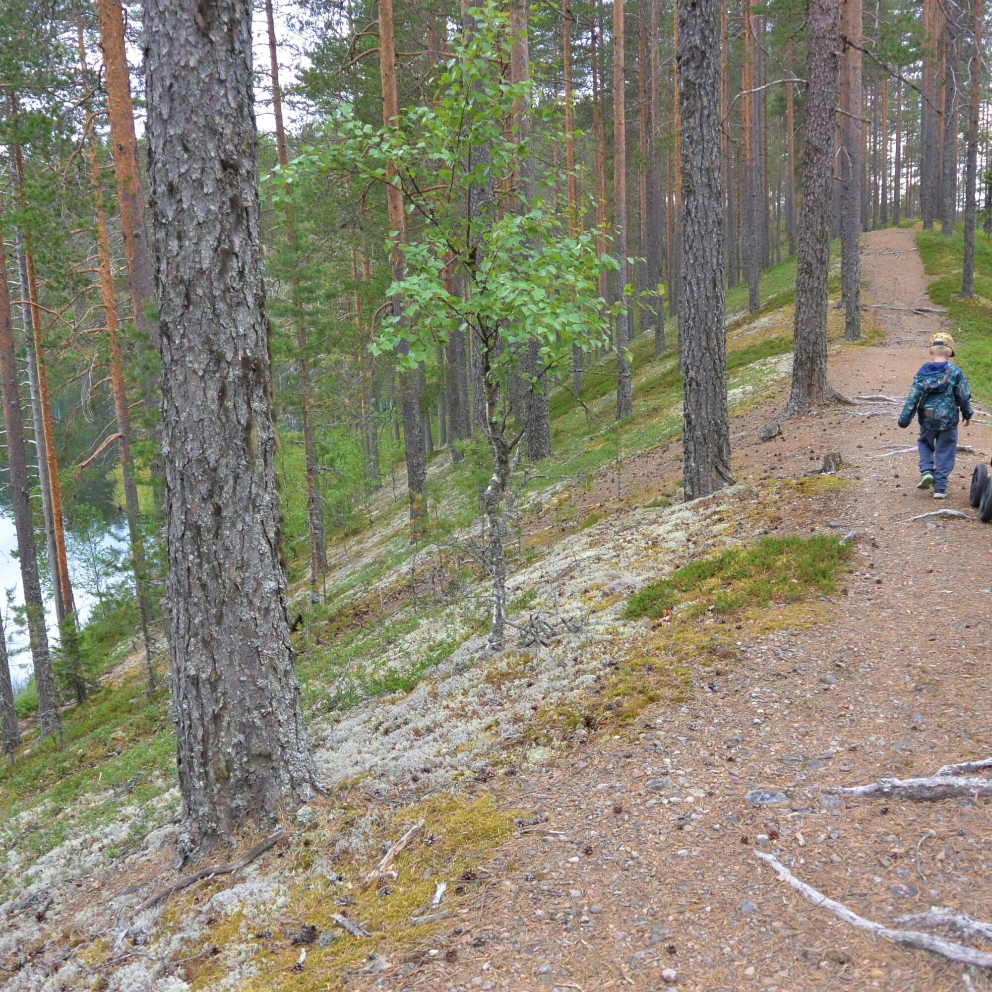
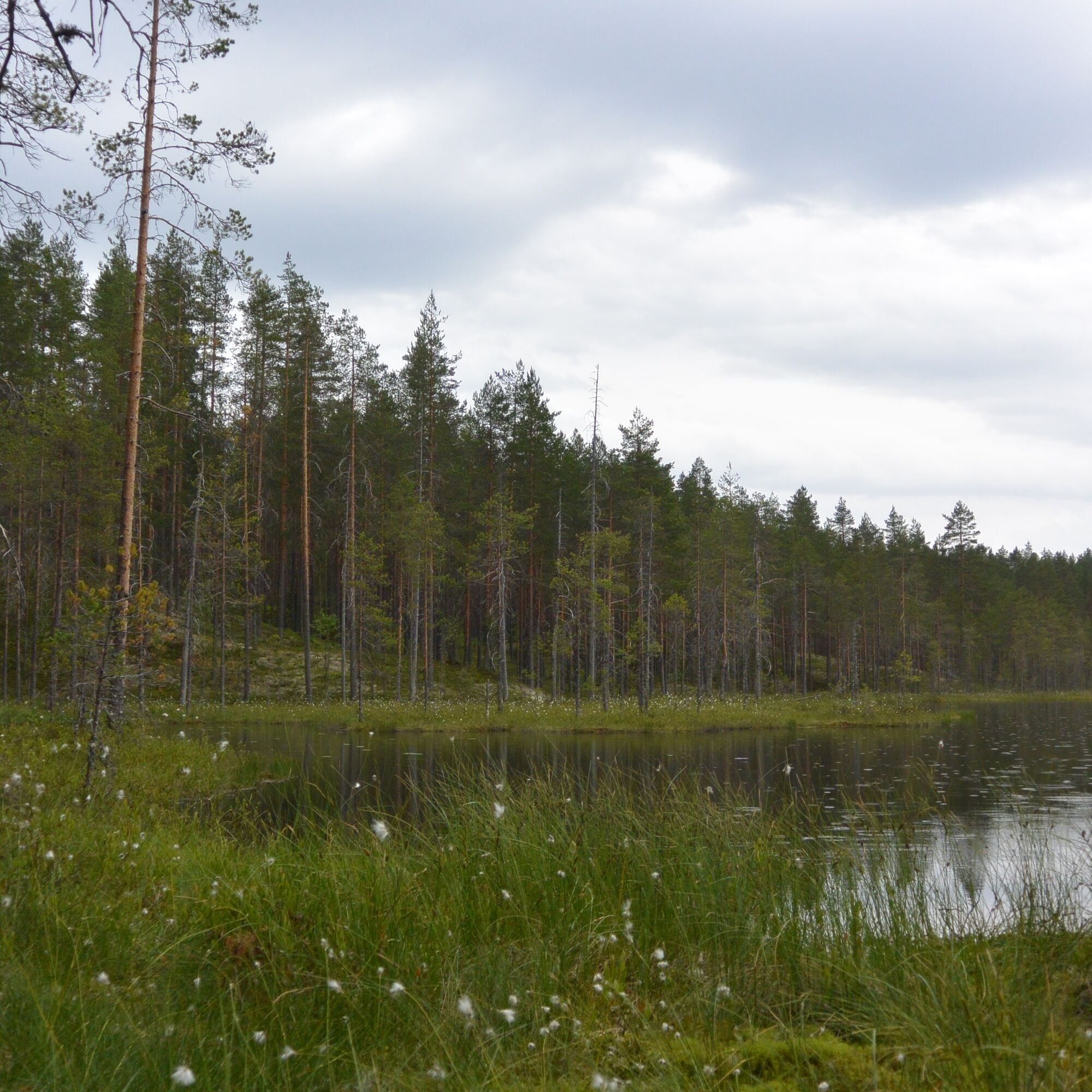
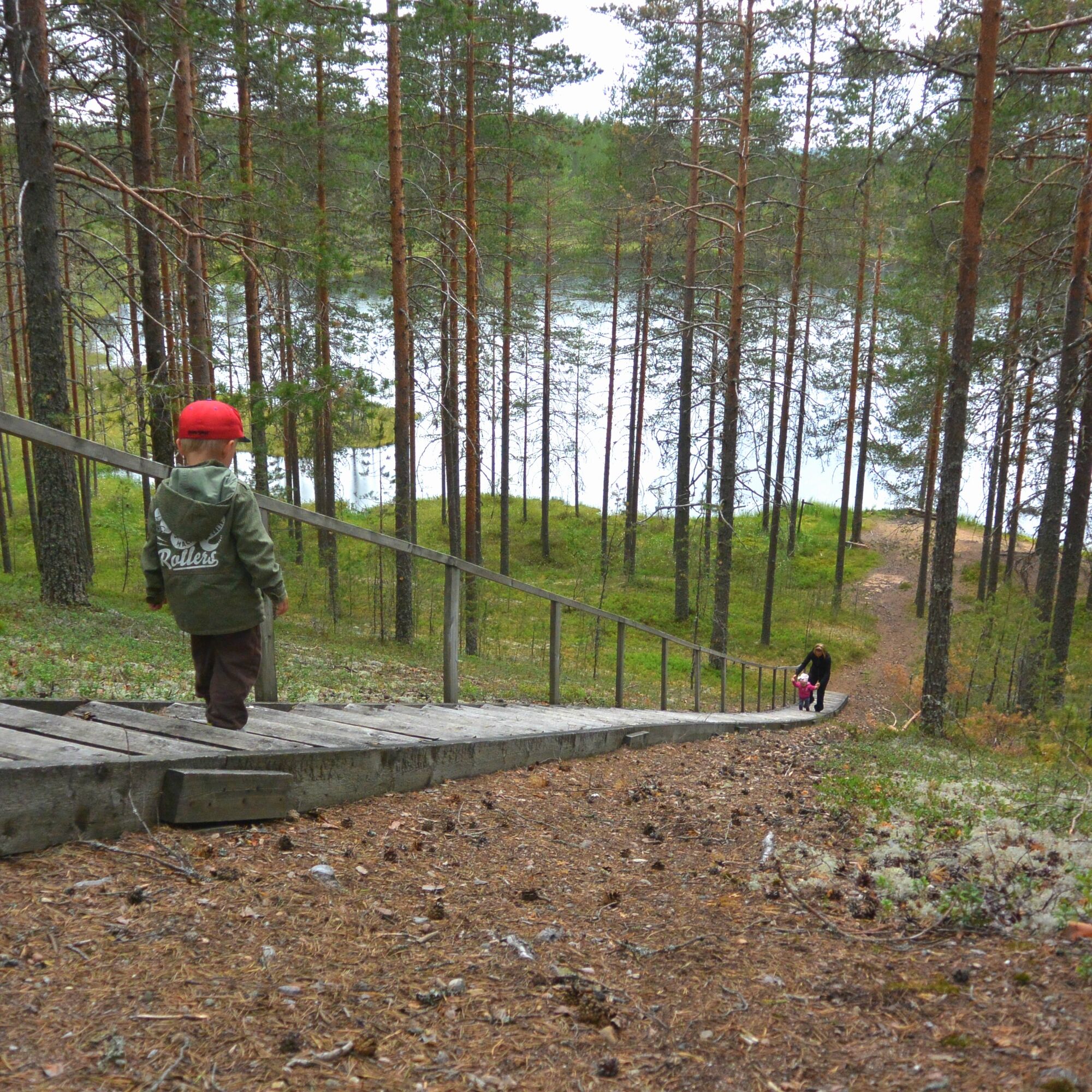
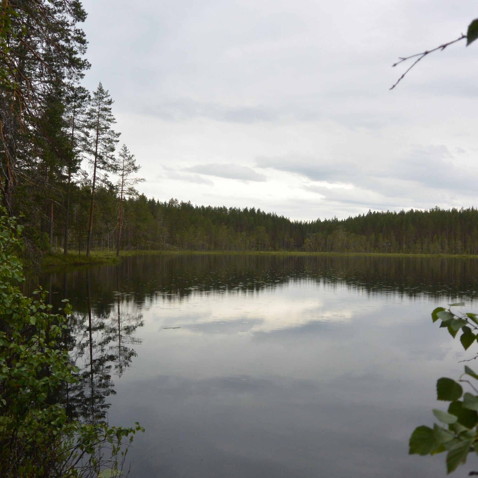
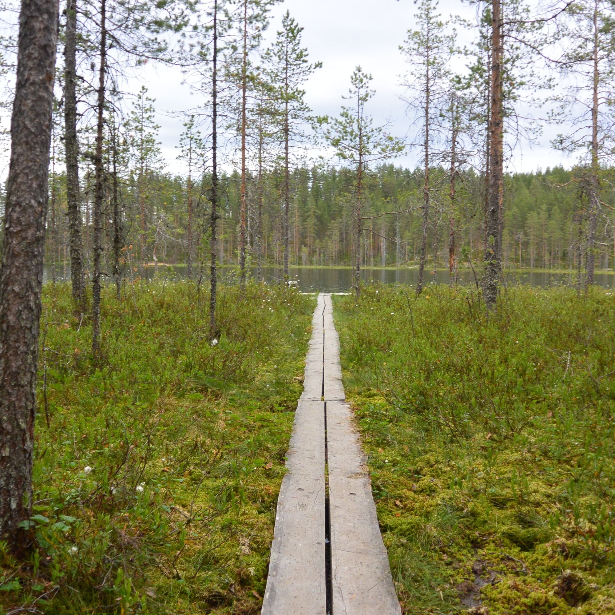

Walk along the old cart track up to the ridges. Follow the guideposts. You can also do circular loops about a kilometer long around Ahven-Valkeinen.
Tak
Tak
Tak
Tak
Weather-appropriate clothing and equipment
Enough drinks and snacks
Fire-starting tools
General emergency number: 112 (Also download the free 112 Finland app to your phone).
Carry first aid supplies with you.
Be careful - do not leave fire unattended. The last person to leave must ensure the fire is extinguished. Open fires are prohibited during forest or grass fire warnings and in strong winds.
The destination is about 20 kilometers from Nurmes towards Kuopio along road 75. On the right side of the main road, there are signs for Raesärkät. About 500 meters from the highway, turn left and drive about one kilometer to the Raesärkät parking lot.
Free parking at the Raesärkät parking lot.
Guided nature trips to Raesärkät can be arranged from Äksyt Ämmät.
Berry picking and mushrooming are allowed at Raesärkkä, so especially during the lingonberry season it is worth bringing a container on your trip.
Wędrówki i tropienie


Nie przegap ofert i inspiracji na następne wakacje
Twój adres e-mail została dodana do listy mailingowej.





