





Utra Trail, Harju Trails
Poziom trudności: S0
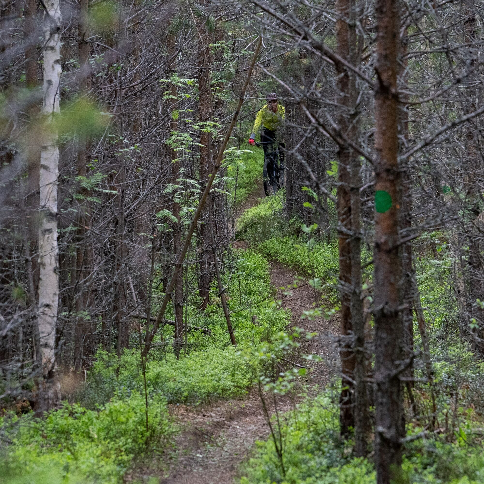
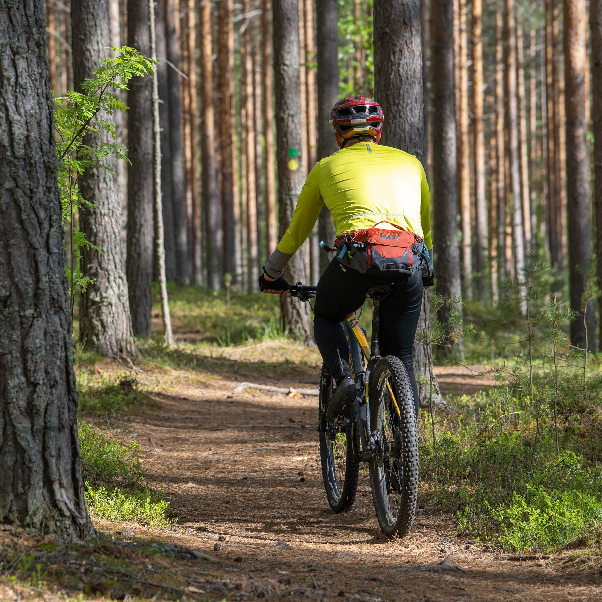
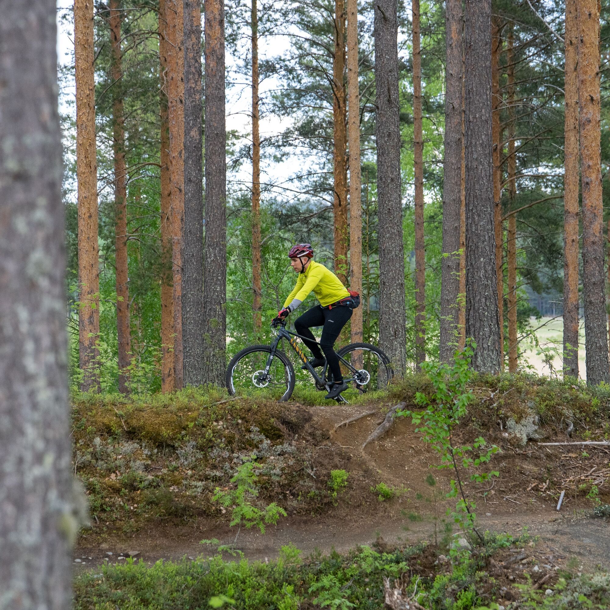
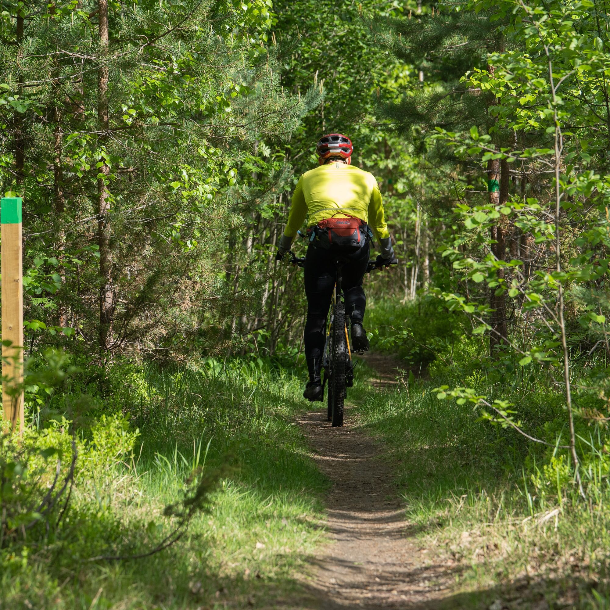
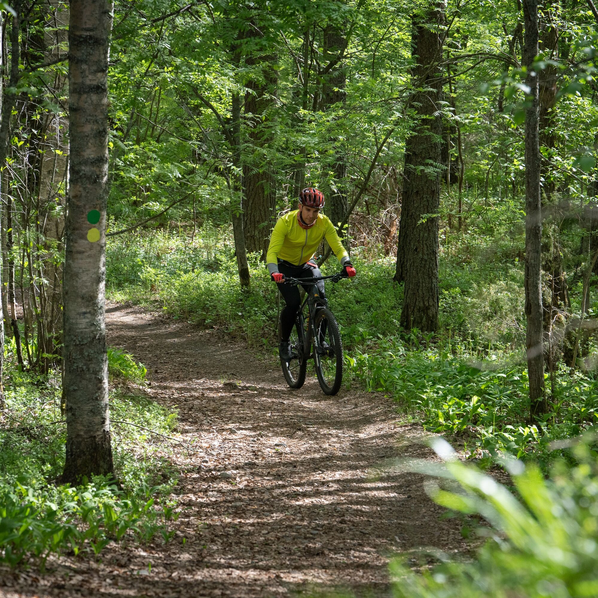
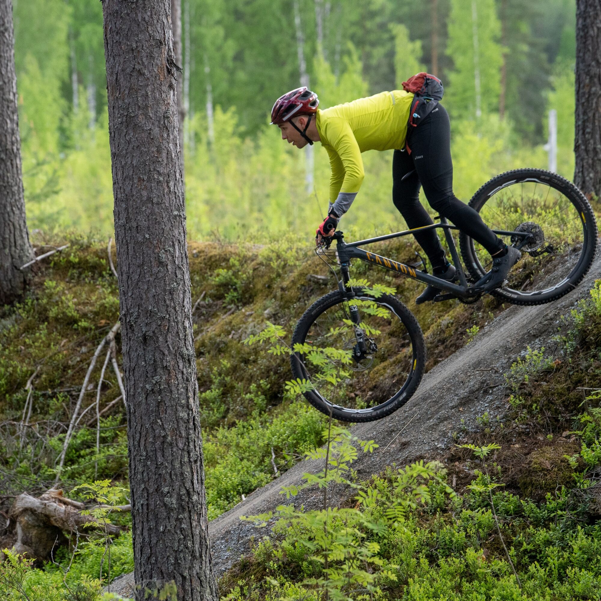
The Utra Trail is the easiest route of the Harju Trails and is excellent for beginner mountain bikers. On the 4 km path, you ride through the calm heath forests at the eastern end of the Utra Ridge. For...
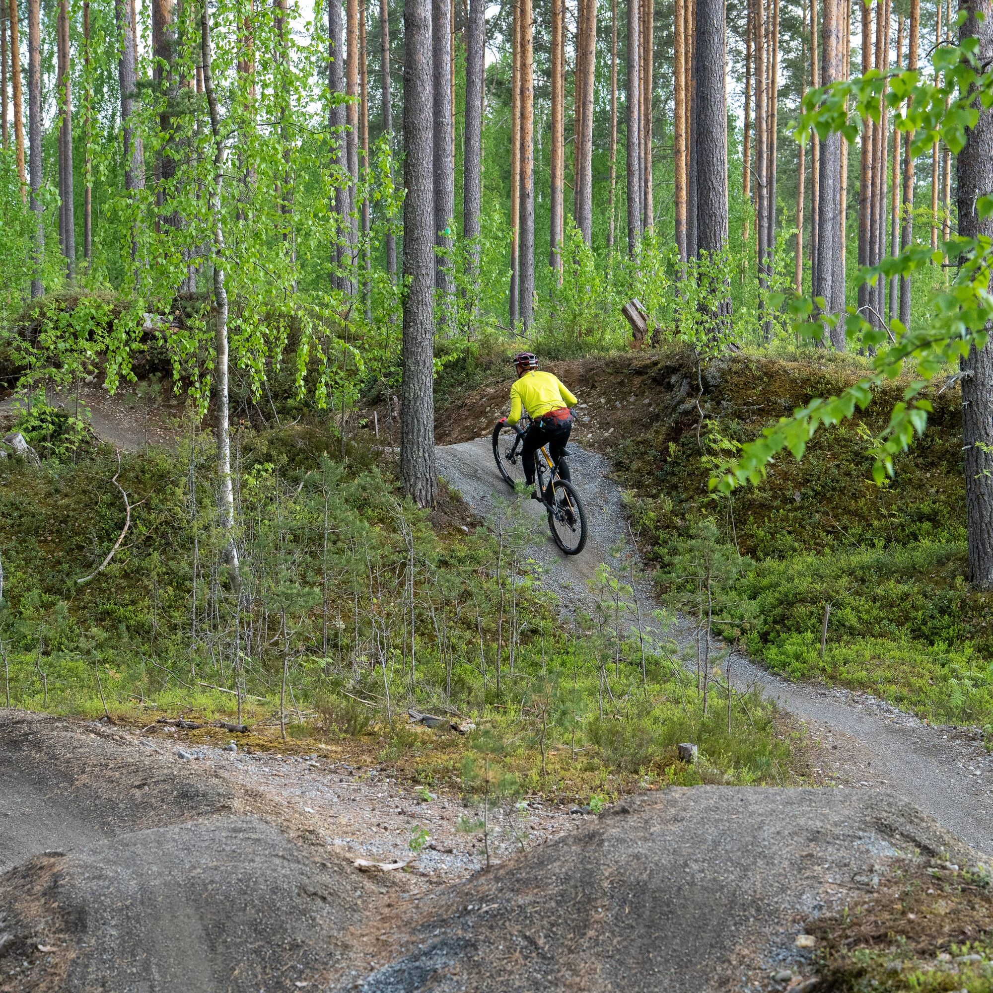
The Utra Trail is the easiest route of the Harju Trails and is excellent for beginner mountain bikers. On the 4 km path, you ride through the calm heath forests at the eastern end of the Utra Ridge. For experienced mountain bikers, the Utra Trail is a pleasant addition to cycling the area's trail network.
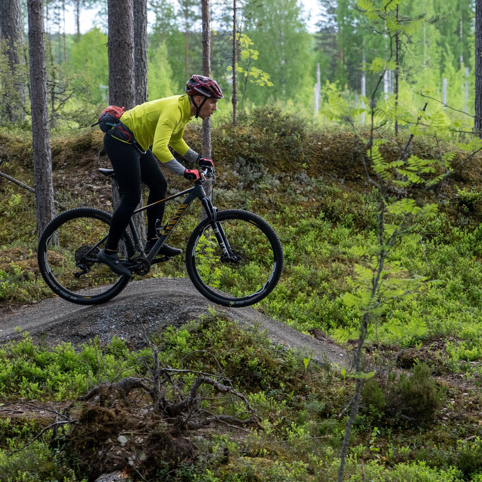
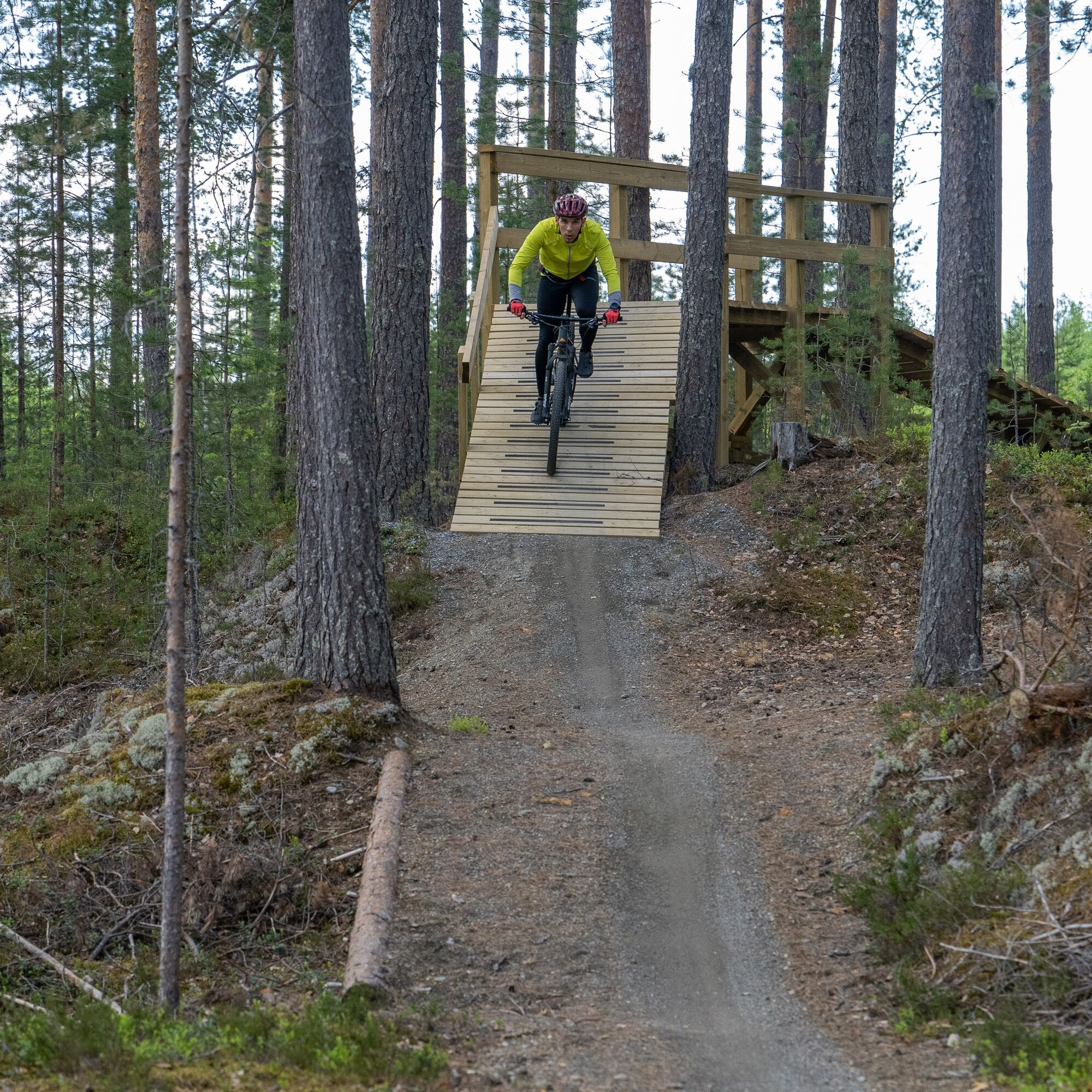
At the eastern edge of the Utra Trail, at the foot of Jynkänaho, there is the Utra technical track, which consists of six short riding lines. Four of the technical track loops are easy, two are moderately difficult. The easy lines of the technical track combined with the needle trails of the Utra Trail provide a perfect terrain for both beginners learning the basics of mountain biking and those honing fundamental skills.
The smoothest access to the route is from the Utra Island parking, where orange Jaama Trail signs guide you to the green-marked Utra Trail, avoiding the more challenging sections of the ridge's trail system.
The Harju Trails running on the Utra Ridge offer four routes of different difficulty levels and a technical track for mountain bikers. The area has nearly 20 km of clearly marked trails that consider the needs of mountain bikers. Jaama Trail connects the Harju Trails to the extensive trail network over 200 km long in the Joensuu region: to Lykynlammi's Lykyn trails, Liperin Kinttupolut, and Kontiolahti's Kontionpolut trail system. From the routes in Kontiolahti, you can continue along Kolinpolku all the way to Koli.

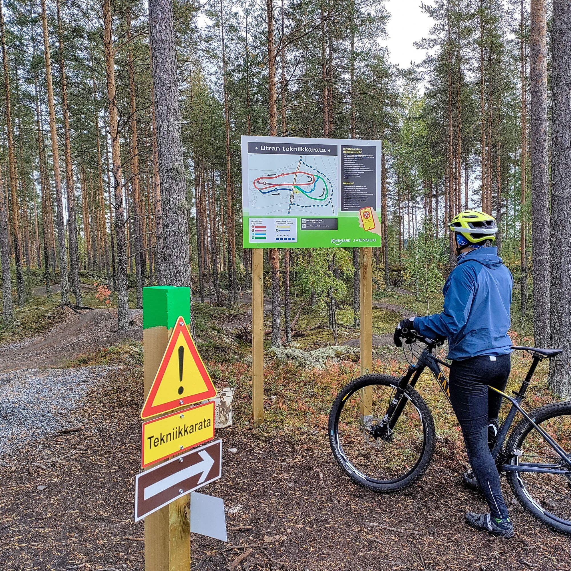

You can reach the Utra Trail via the Harju Trails, and there are several parking areas along the route. The nearest parking is located at Utra Islands (Utrantie 86, Joensuu), from where you can follow the Jaama Trail (orange sign color) for about 2 km to reach the Utra Trail.
By following the green signs of the Utra Trail, you can easily navigate through the route. The trail is bidirectional, but the easier direction to go is counterclockwise. The Utra Trail includes many turns marked with arrows on posts. The route also contains some intersections with poor visibility, which have warning signs for the crossing. It is advisable to cross intersections cautiously, taking other forest traffic into account.
Tak
Tak
Appropriate clothing and equipment
Sufficient drinks and snacks
Tools depending on the length of the riding day (e.g., multi-tool, tire repair kit, inner tube)
Helmet
Stones and roots are slippery in wet weather.
Bring a small first aid kit
Download the 112 emergency app on your smartphone
The parking lot at Utra Islands is easily reached from the center of Joensuu via Rantakatu, which continues as Utrantie to the Utra Islands. From there, continue by muscle power on the Jaama Trail to the starting point of the Utra Trail.
Lehmo Sports Field is accessible via Vanha Nurmeksentie.
Regular bus service runs to the starting points of the Harju Trails (Lehmo sports field and Utra Islands). From the bus stops, it is less than 300 meters to the Jaama Trail, which leads to the Harju Trails.
Check schedules at https://jojo.joensuu.fi/.
Lehmo Sports Field parking area (Urheilukentäntie 10, Lehmo)
Utra Islands parking area (Utrantie 86, Joensuu)
Both offer free parking.
S0
Joensuu region trails (map)
Harju Trails (map)
Utra Islands
Onkilampi beach
Lehmo sports field exercise stairs
Popularne wycieczki w okolicy
-
Lykynlampi (Winter) Trail, Lykynpolut
światłoMountainbike 5,20 km -
Jaama Trail, easy circular route around Joensuu
światłoMountainbike 59,4 km -
Joy of riding, the best parts of Joensuu region routes 184 km
średniMountainbike 184,3 km -
The best parts of Kontionpolku
średniMountainbike 40,8 km -
Kuhasalo accessible route
światłoWędrówka 3,36 km -
Kontioniemi Trail
średniWędrówka 8,98 km -
Lehmonharju Trail
średniMountainbike 2,45 km -
The best trails in the Lykynpaths route at Lykynlampi
światłoMountainbike 15,4 km -
Monttu Trail, Harjupolut
średniMountainbike 7,31 km -
Salpalinja Trail
światłoWędrówka 5,18 km
Wędrówki i tropienie


Nie przegap ofert i inspiracji na następne wakacje
Twój adres e-mail została dodana do listy mailingowej.





