


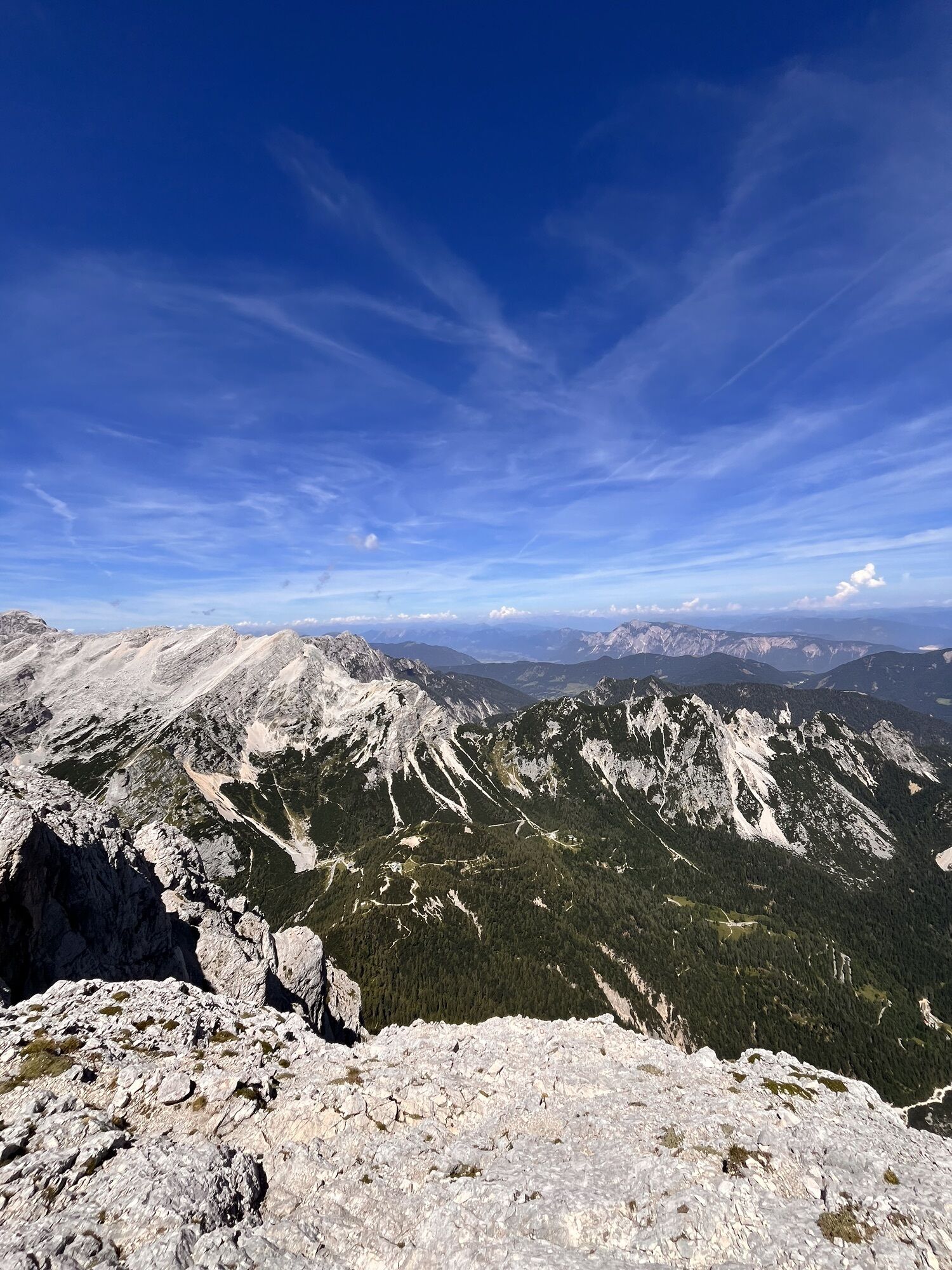
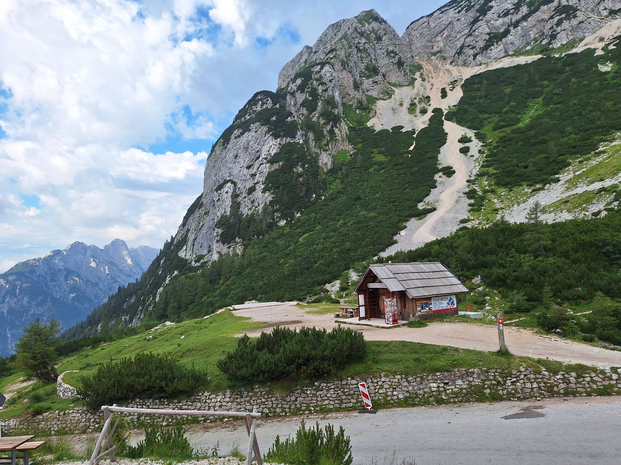
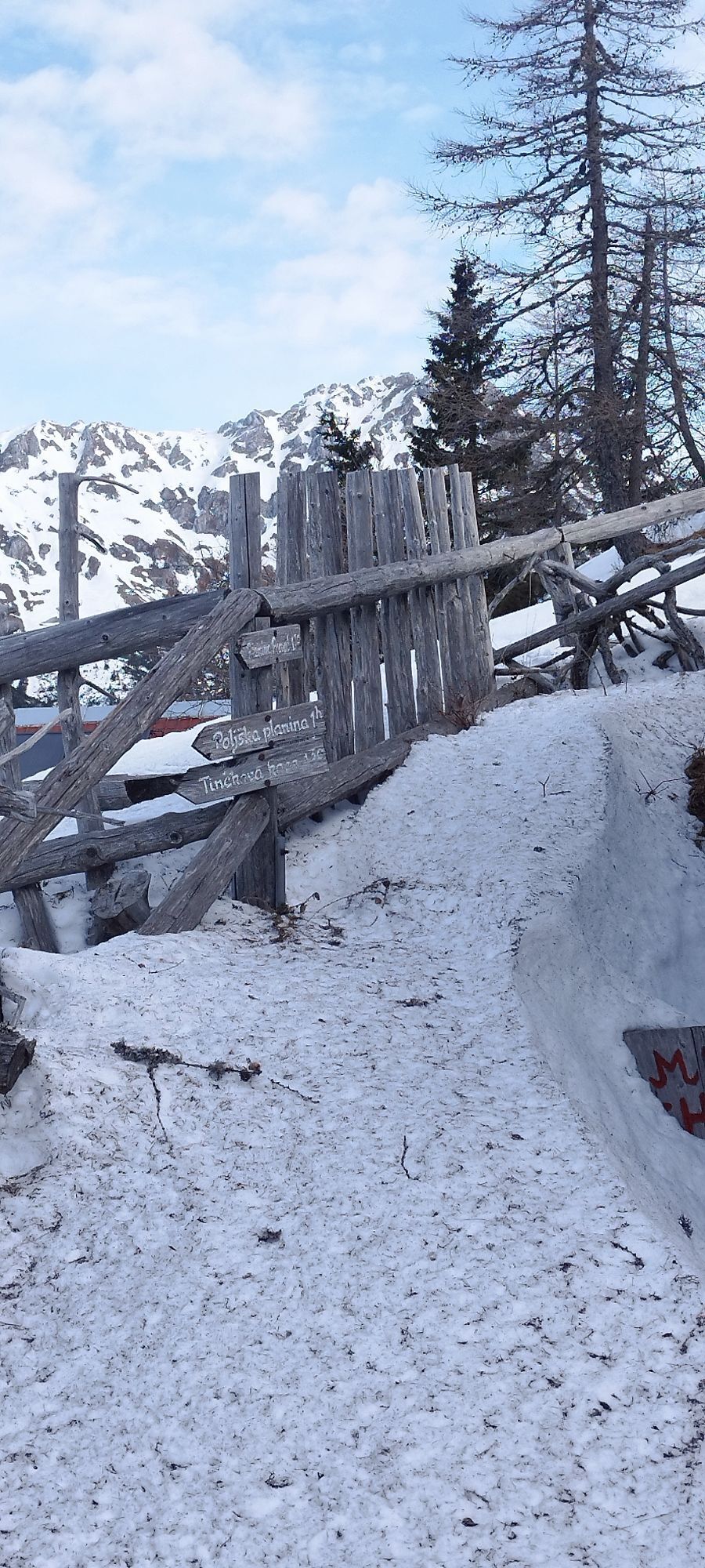
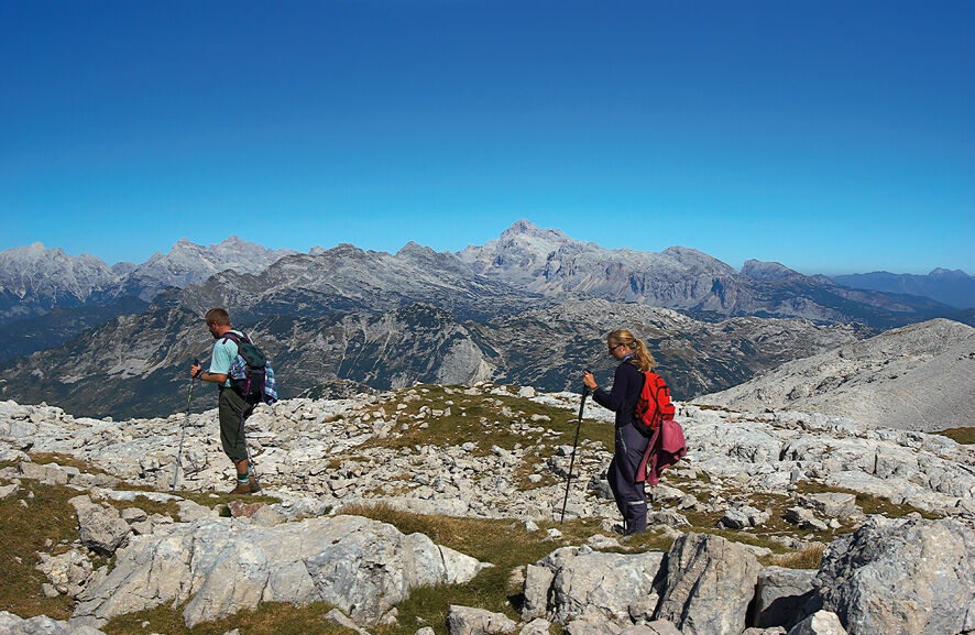
Slovenian mountain trail
Zdjęcia naszych użytkowników
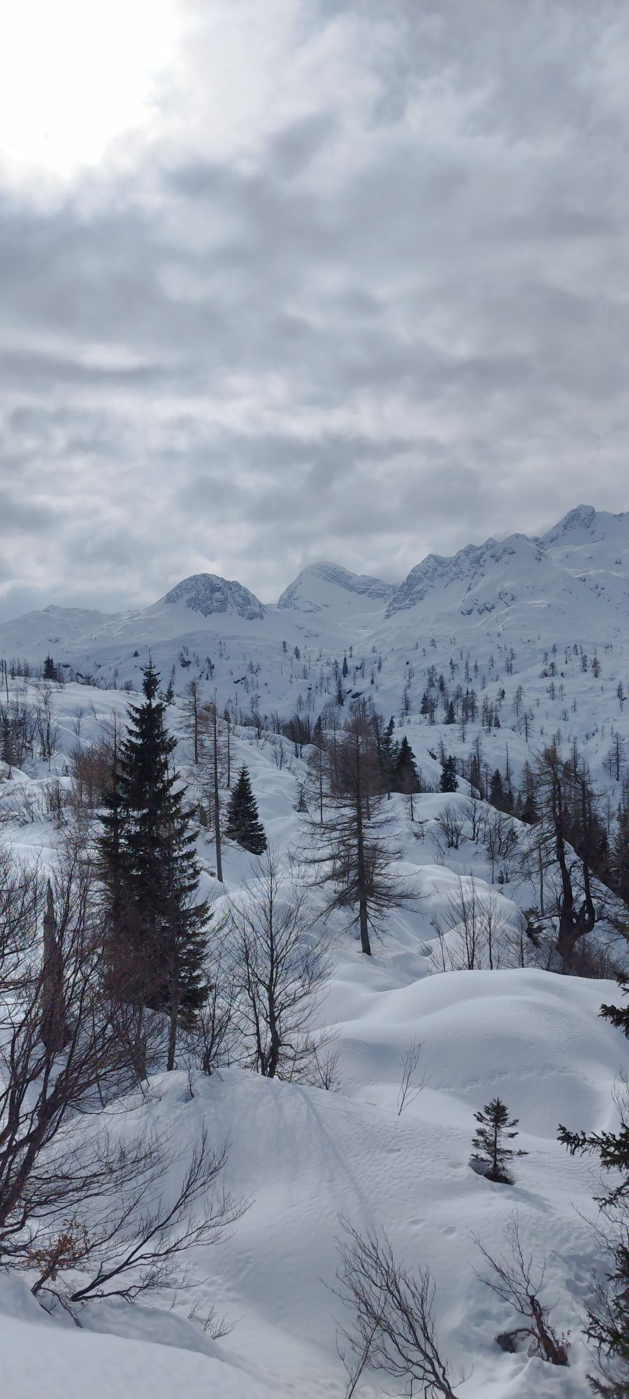
 © Anne Kathrin WinterUtworzono dnia 16.08.2024
 © Christoph StanzerUtworzono dnia 12.08.2024
 © Patrick FresenbergerUtworzono dnia 13.07.2024
 © Patrick FresenbergerUtworzono dnia 13.07.2024
 © Henriette düsentriebUtworzono dnia 16.04.2026
 © Miha GrosUtworzono dnia 12.04.2026
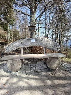 © Miha GrosUtworzono dnia 12.04.2026
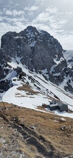
 © Roman KramerUtworzono dnia 12.04.2026
 © Roman KramerUtworzono dnia 06.04.2026
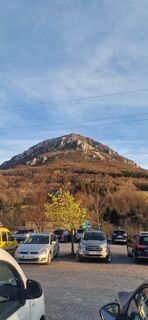 © Roman KramerUtworzono dnia 06.04.2026
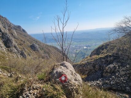
 © GrizliUtworzono dnia 05.04.2026
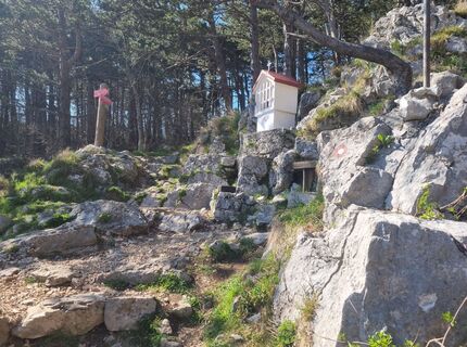 © GrizliUtworzono dnia 05.04.2026
 © GrizliUtworzono dnia 05.04.2026
 © GrizliUtworzono dnia 05.04.2026
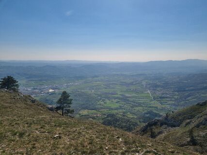 © GrizliUtworzono dnia 05.04.2026
 © GrizliUtworzono dnia 05.04.2026
 © GrizliUtworzono dnia 05.04.2026
 © GrizliUtworzono dnia 05.04.2026
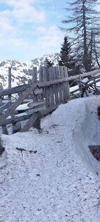
 © veronika bozicUtworzono dnia 04.04.2026
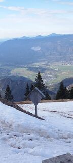 © veronika bozicUtworzono dnia 04.04.2026
 © Stefano FontanelUtworzono dnia 29.03.2026
 © Stefano FontanelUtworzono dnia 29.03.2026
 © Stefano FontanelUtworzono dnia 29.03.2026
 © Stefano FontanelUtworzono dnia 29.03.2026
 © Stefano FontanelUtworzono dnia 29.03.2026
 © Izidor AmbrožičUtworzono dnia 28.03.2026
 © Izidor AmbrožičUtworzono dnia 28.03.2026
 © Izidor AmbrožičUtworzono dnia 28.03.2026
 © veronika bozicUtworzono dnia 28.03.2026
 © veronika bozicUtworzono dnia 28.03.2026
 © veronika bozicUtworzono dnia 25.03.2026
 © veronika bozicUtworzono dnia 25.03.2026
 © veronika bozicUtworzono dnia 22.03.2026
 © MiczurUtworzono dnia 15.03.2026
 © MiczurUtworzono dnia 15.03.2026
 © Fabrizio PlesnizerUtworzono dnia 06.03.2026
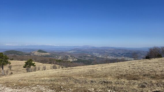 © Fabrizio PlesnizerUtworzono dnia 06.03.2026
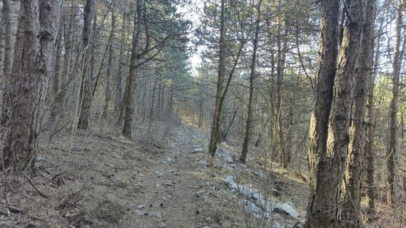 © Fabrizio PlesnizerUtworzono dnia 06.03.2026
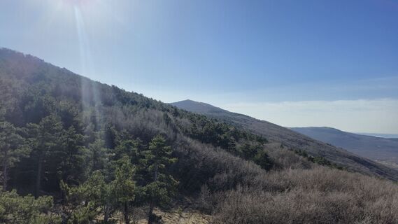 © Fabrizio PlesnizerUtworzono dnia 06.03.2026
 © Fabrizio PlesnizerUtworzono dnia 06.03.2026
 © Fabrizio PlesnizerUtworzono dnia 06.03.2026
 © Fabrizio PlesnizerUtworzono dnia 06.03.2026
 © veronika bozicUtworzono dnia 05.03.2026
 © veronika bozicUtworzono dnia 05.03.2026
 © veronika bozicUtworzono dnia 05.03.2026
 © veronika bozicUtworzono dnia 05.03.2026
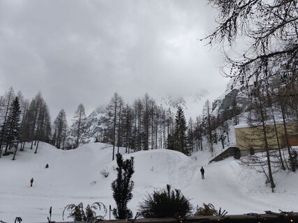
 © Marko BešterUtworzono dnia 01.03.2026
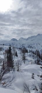 © veronika bozicUtworzono dnia 01.03.2026


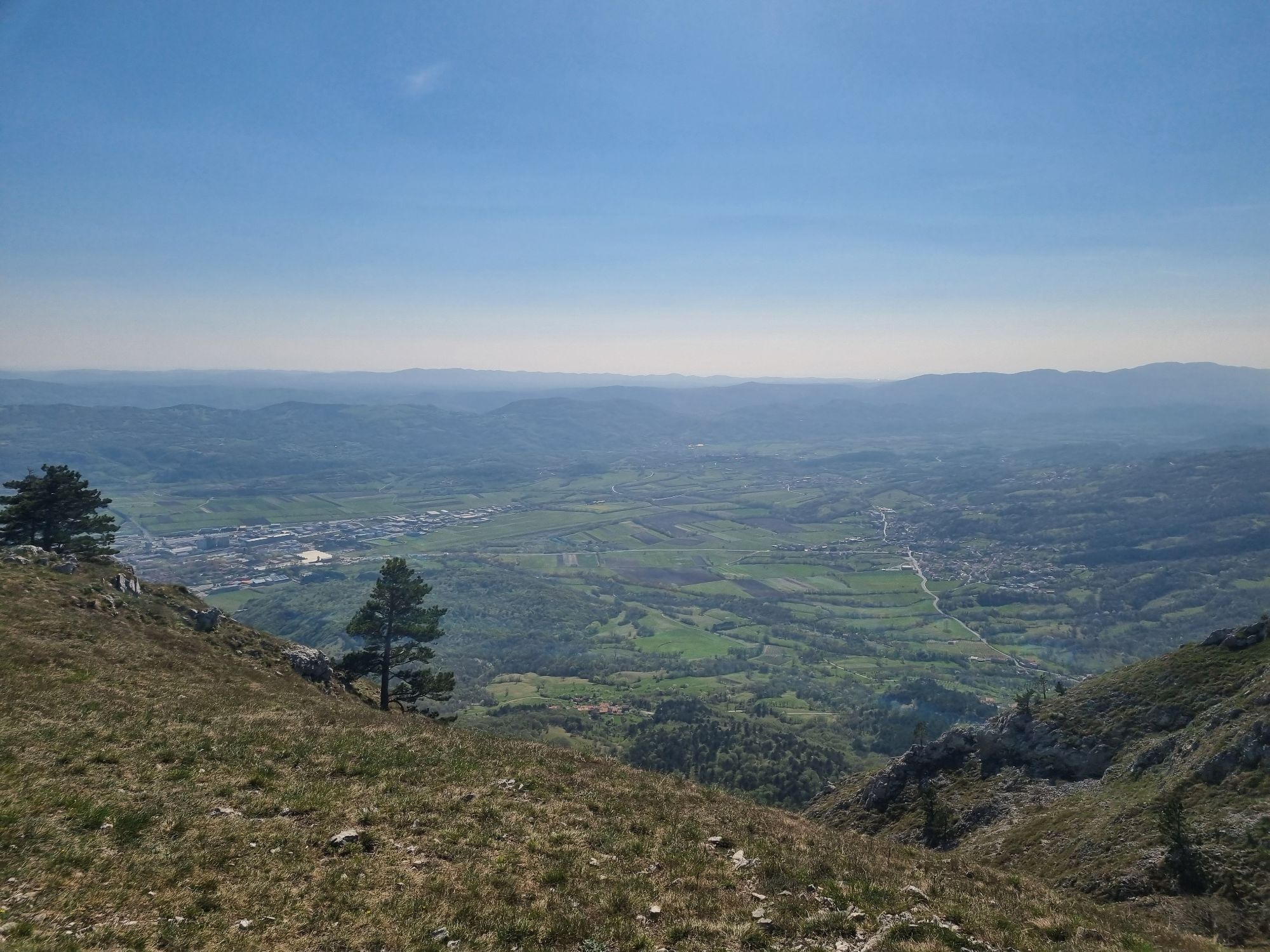

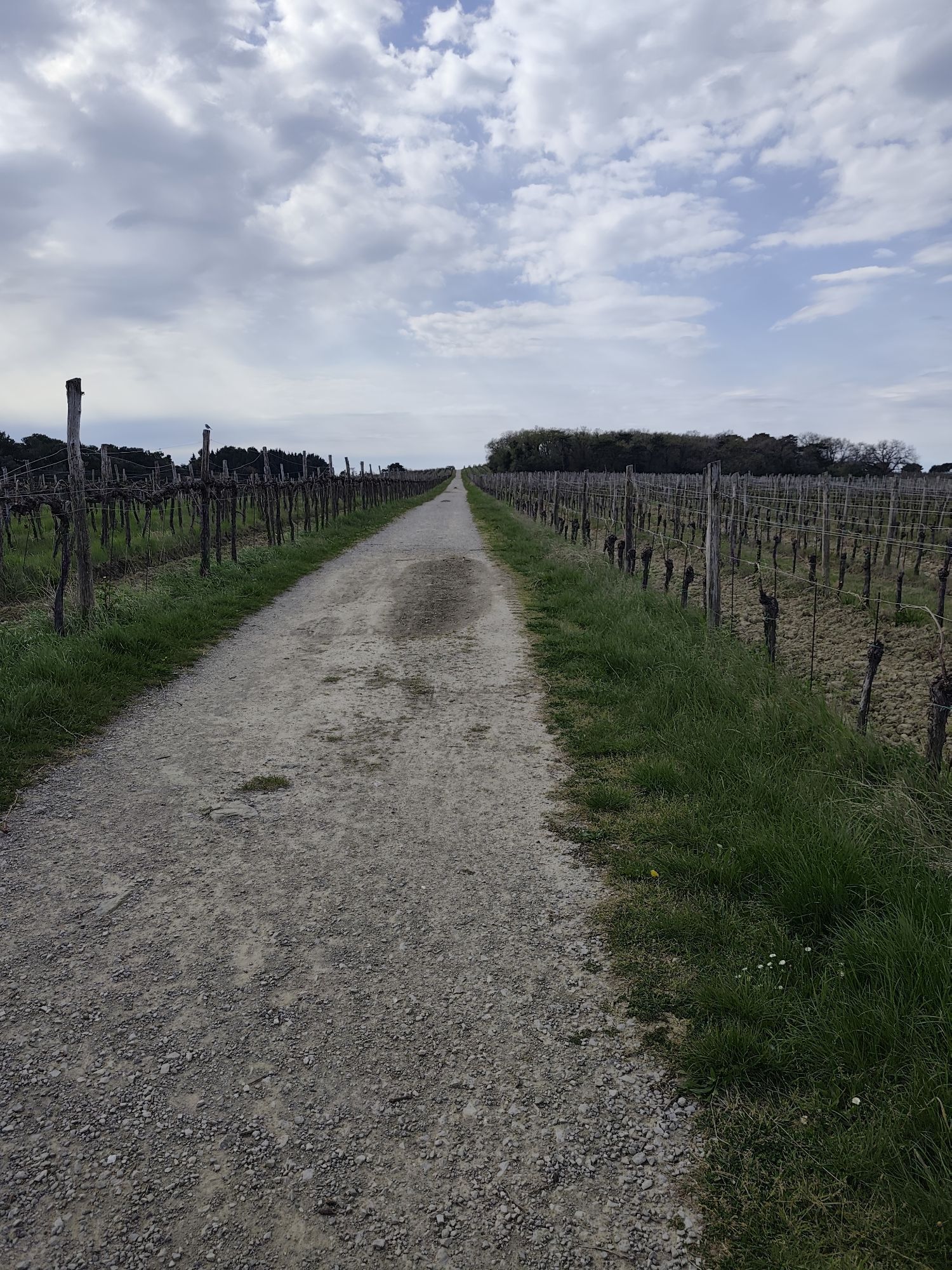


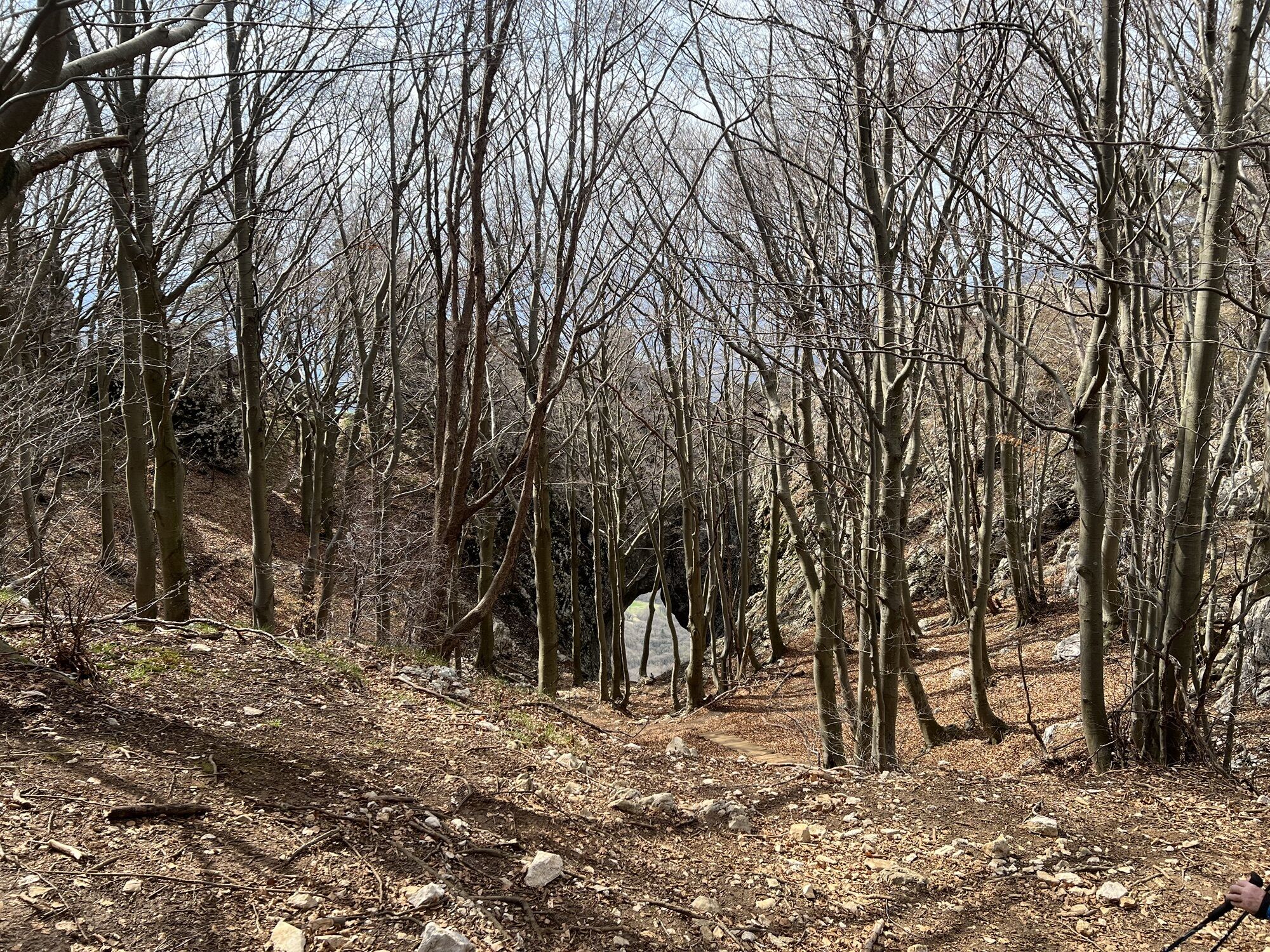

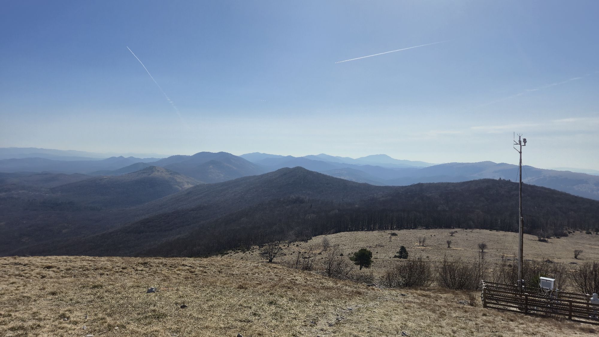
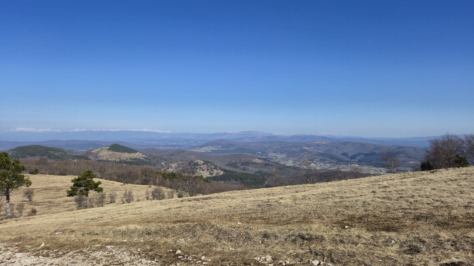
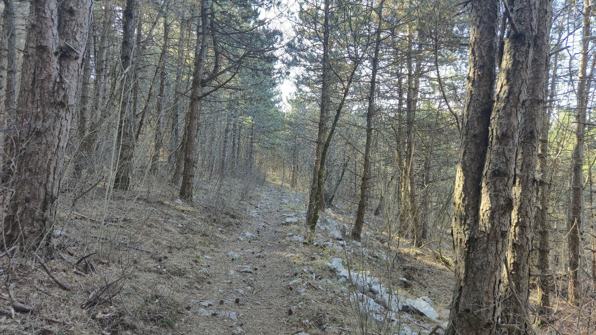
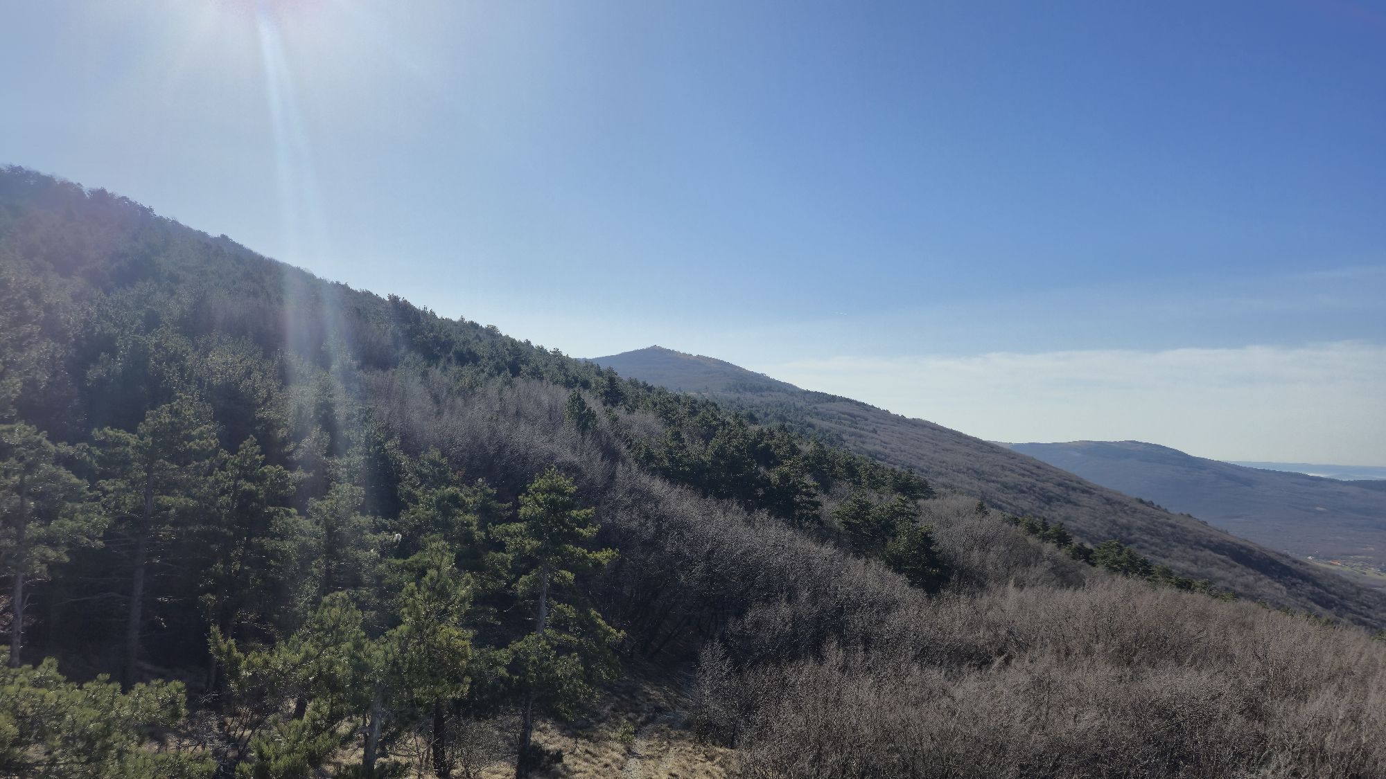

It begins in Maribor and crosses the plateaus of the Pohorje Hills, from where you already have a glimpse of the tallest Alpine summits in the distance. The trail first enters the Alps in the Kamnik and...
It begins in Maribor and crosses the plateaus of the Pohorje Hills, from where you already have a glimpse of the tallest Alpine summits in the distance. The trail first enters the Alps in the Kamnik and Savinja Alpine range, as it runs across its highest peaks, and then the trail continues along the long Karavanke range, which separates Slovenia from Austria. From there, it again descends into the valley and soon rises into the heart of the Julian Alps, to Mount Triglav and the steepest peaks, with breathtaking views following one after another as the trail approaches the Adriatic sea.
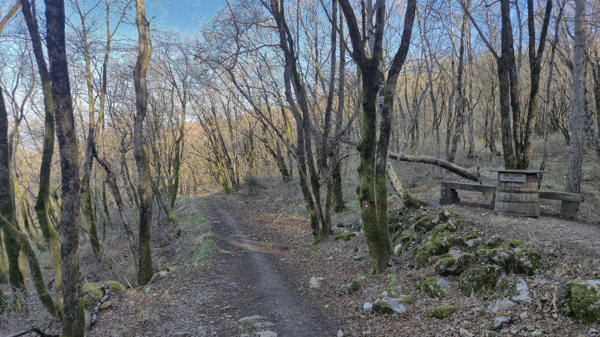
The Slovenian Mountain Trail ends at Debeli RtiÄ on the Adriatic coast and connects 49 mountain huts, 23 peaks, and 5 towns. It is well marked with Knafelc blazes and the number 1. How much time will you need to walk this trail? It can be walked in 28 days, and some of the best mountain runners even run along it. The record is seven days, eight hours, and ten minutes.

On the Slovenian Mountain Trail – in brief (adapted by Borut Peršolja as recorded by Janez Äernilec)
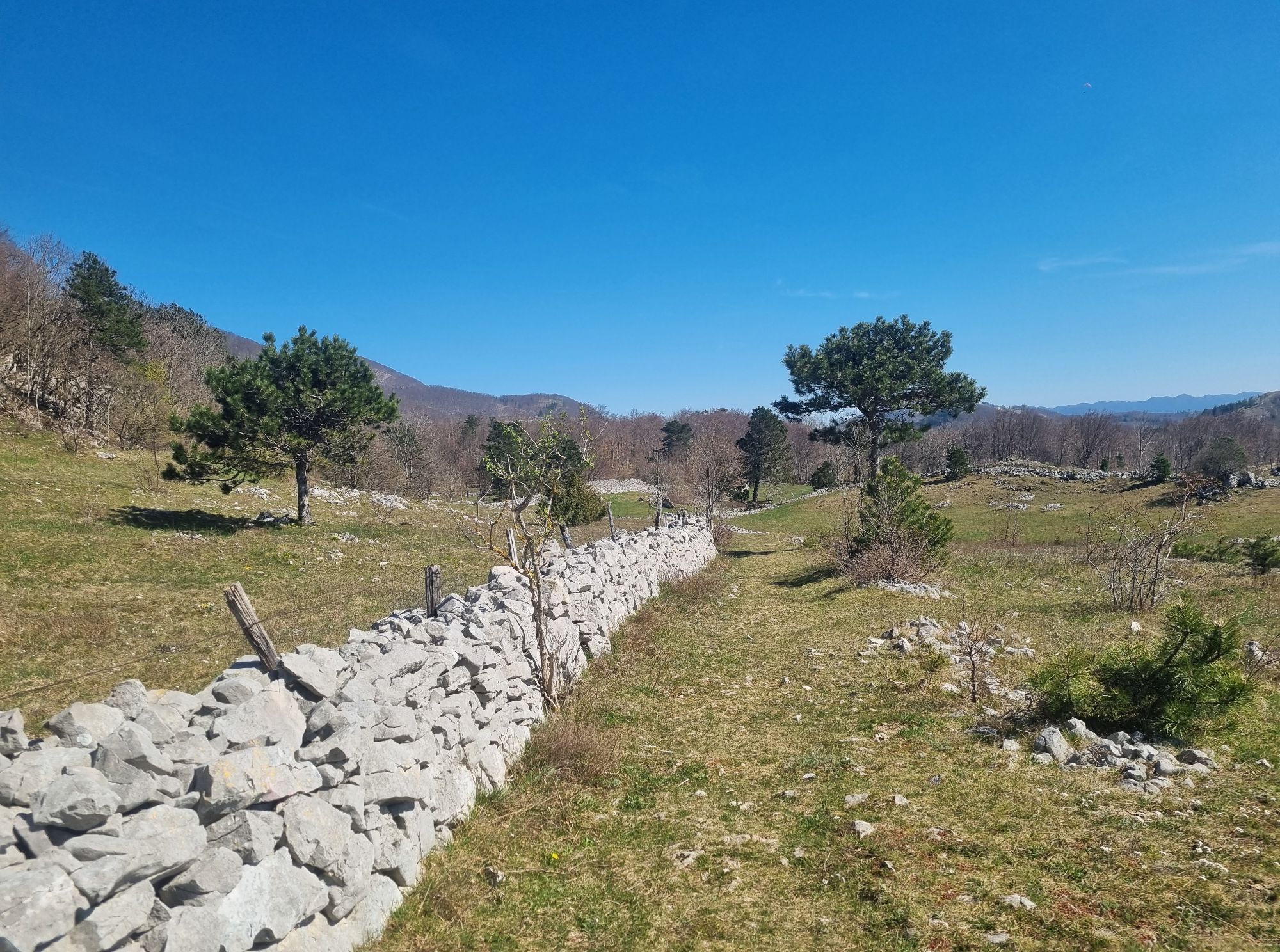
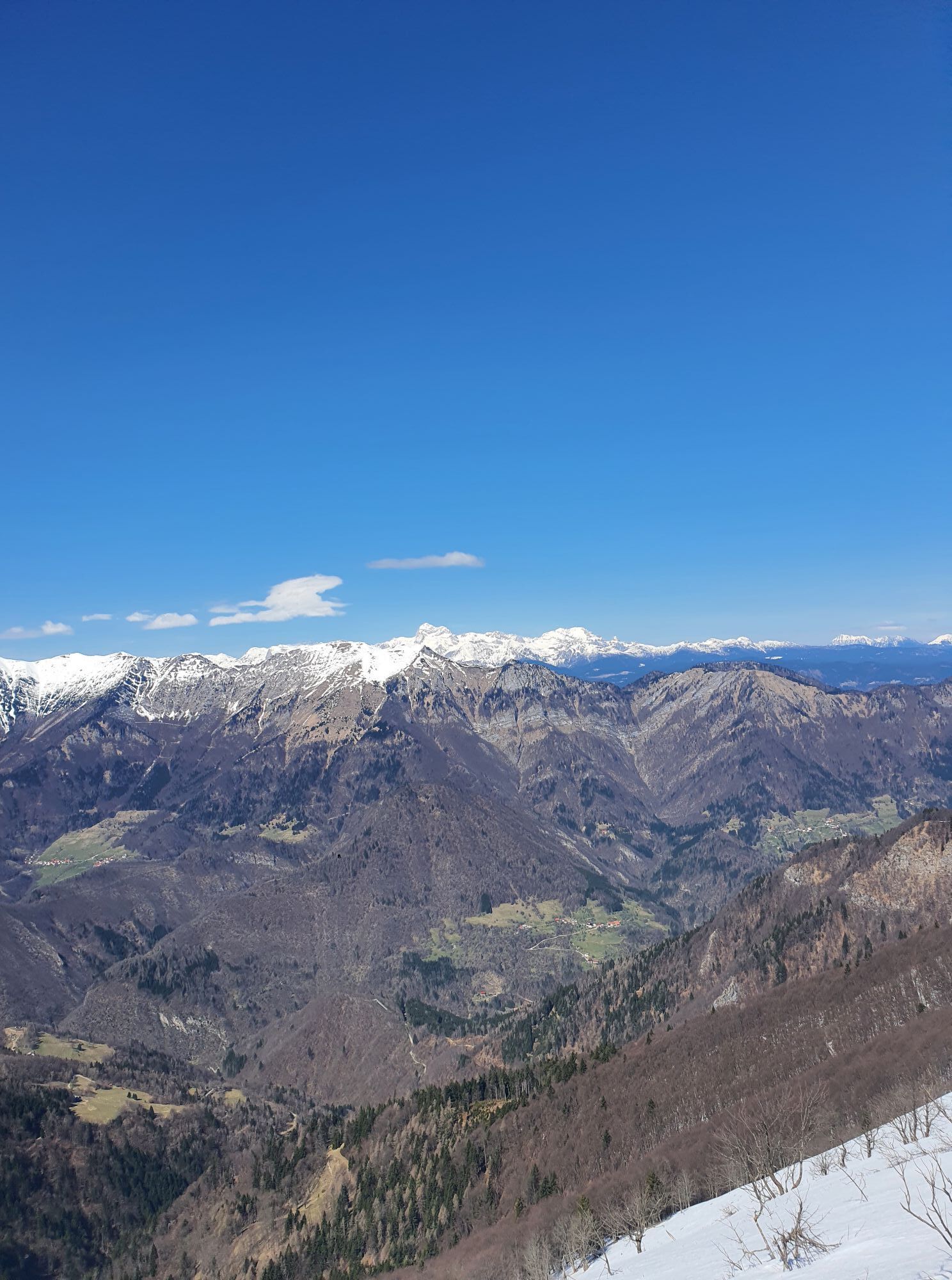
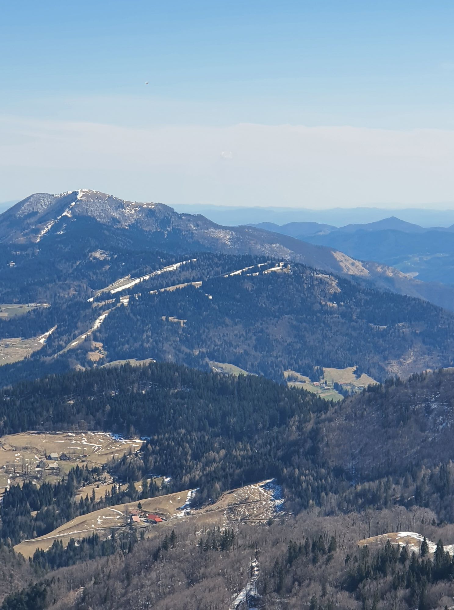
The Slovenian Mountain Trail begins in Radvanje near Maribor (270 m) where it ascends to Pohorje, a 60-kilometre mountain chain with the highest point at Ärni vrh (1,543 m), and numerous mountain huts and ski tows. In the west, the trail descends to Slovenj Gradec (420 m) and then ascends to Carinthian monadnock, Uršlja gora (1,699 m). From here, the trail continues over Smrekovec (1,577 m) and Komen (1,684 m) to Raduha (2,062 m) and past Bukovnik (1,327 m), the highest farm in Slovenia, then descends to SolÄava (642 m) in the Upper Savinja Valley. Through the picturesque Robanov Kot Landscape Park, the trail approaches the foothills of high mountains for the first time. From MoliÄka planina (1,780 m), with the second oldest Slovenian mountain hut, now renovated, named after Fran Kocbek, the trail ascends via Korošica (1,808 m) to Ojstrica (2,350 m), our second most beautiful mountain. The trail continues to Planjava (2,394 m) and from Kamniško sedlo (1,864 m) to Brana (2,252 m), Turska gora (2,251 m), Skuta (2,532 m) and past Kokrško sedlo (1,793 m) to Grintovec (2,558 m), the highest peak in the Kamnik-Savinja Alps. Via KoÄna (2,540 m) and Äeška koÄa mountain hut at Spodnje Ravne (1,542 m), the trail descends to Zgornje Jezersko (880 m), which used to be known as a health resort.
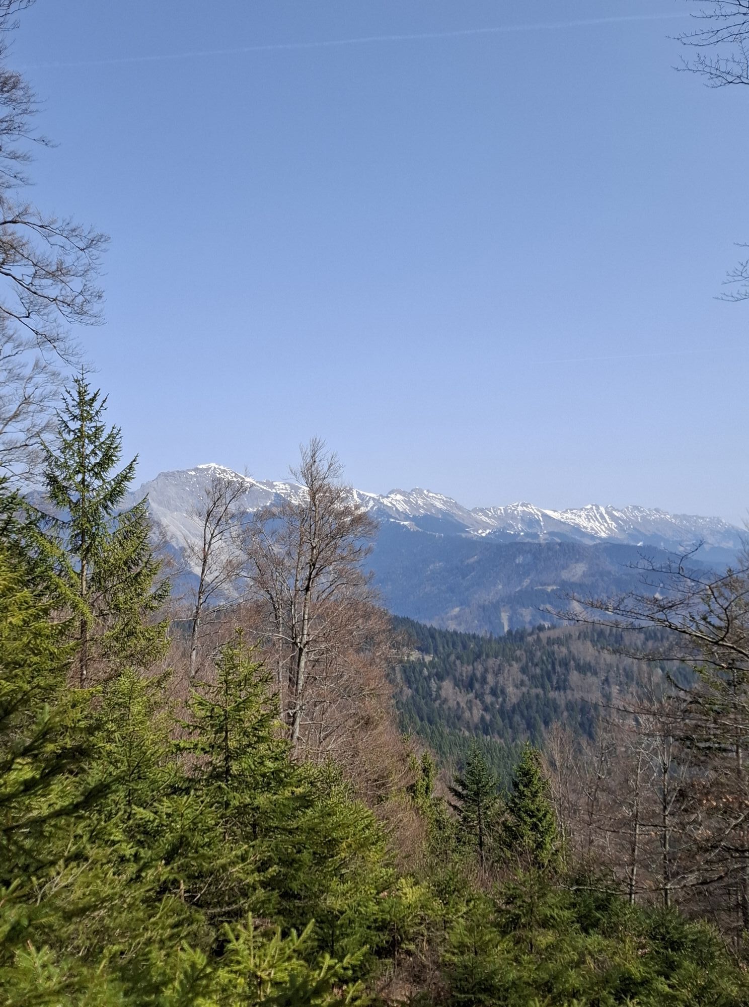
The trail continues to StoržiÄ (2,132 m) with magnificent views and descends via Tolsti vrh (1,715 m) and Kriška gora (1,471 m) to TržiÄ (515 m), which was once an important industrial town. It then ascends to DobrÄa (1,634 m) and past Roblekov dom mountain hut (1,657 m) to BegunjšÄica (2,060 m) and Stol (2,236 m), the highest peak in the Karavanke, which bears an inscription in Slovenian and German: ‘The mountains of friendship’. The trail continues below the ridge along high mountains to Golica (1,835 m) below which lie extensive meadows famed for their daffodils.
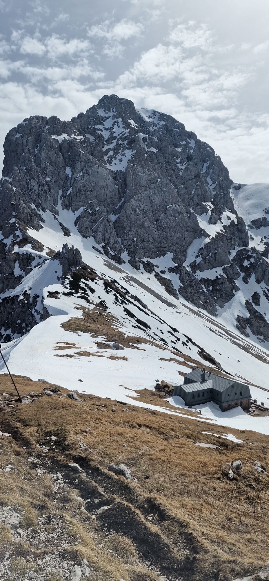
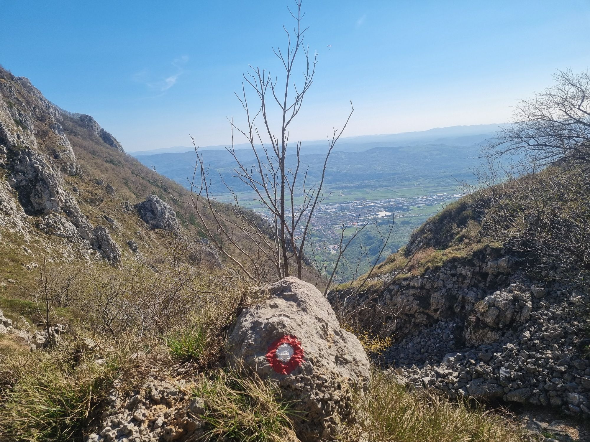
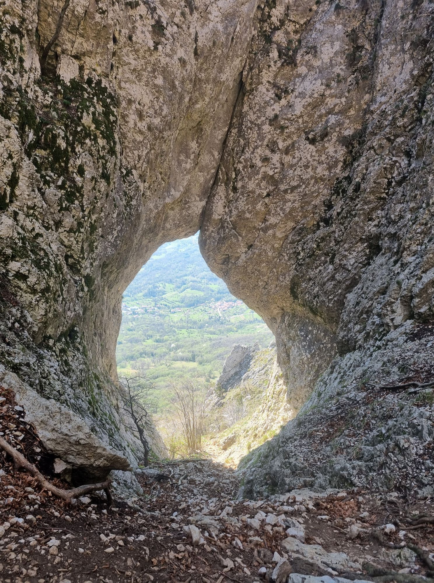
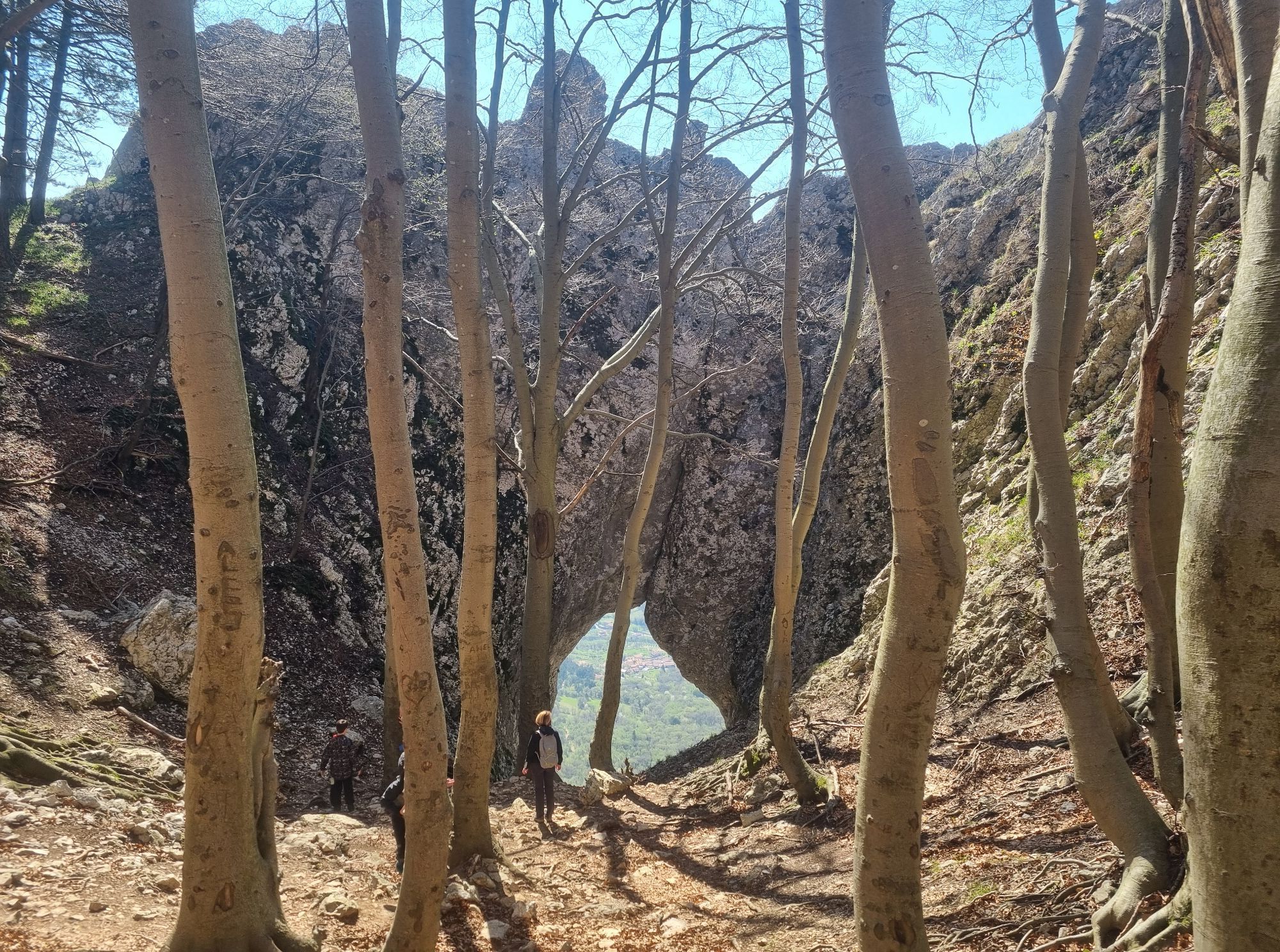
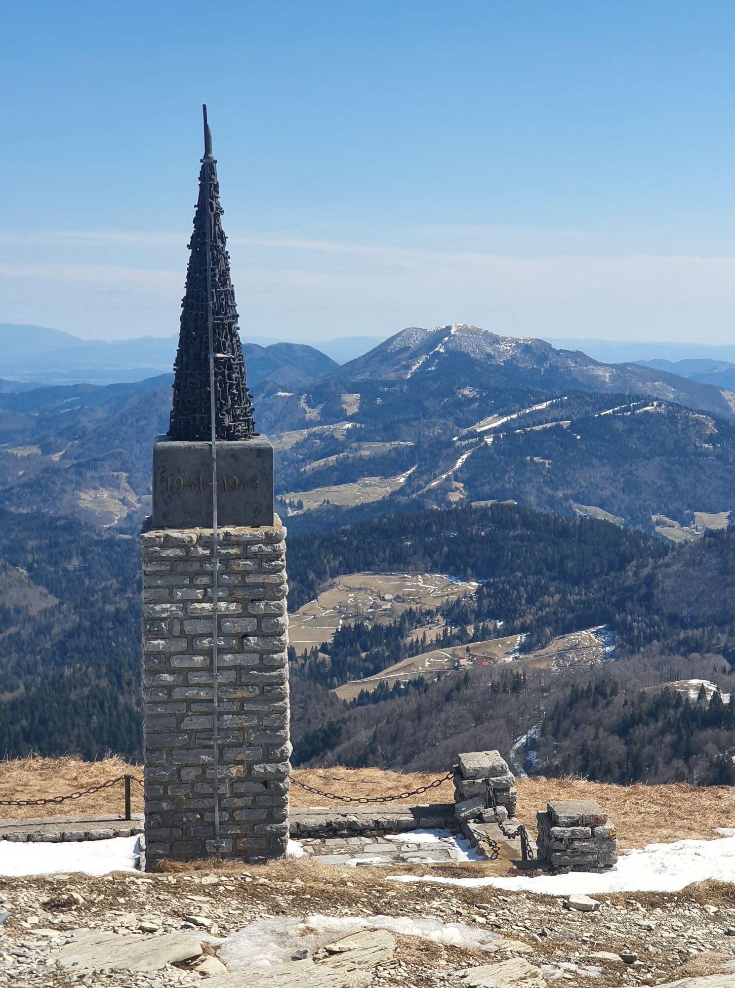
After descending into the valley, the trail leads to Dovje (704 m), where the priest Jakob Aljaž, author of the mountaineering anthem ‘Oj, Triglav, moj dom’ (Oh, Triglav, My Home), worked for many years. From Mojstrana (641 m), home of the Slovenian Alpine Museum, the trail continues through the valley of Vrata past PeriÄnik waterfall to Aljažev dom mountain hut (1,015 m). A steep trail goes via the remarkable Triglav north wall to Kredarica (2,515 m) with the highest mountain hut in Slovenia and on to Triglav (2,864 m), the highest peak and a symbol of Slovenia, where Aljaž Tower is situated. Via Kriški podi (2,050 m) with high mountain lakes, Razor (2,601 m) and Prisank (2,547 m), the trail continues to VršiÄ (1,611 m), a mountain pass between the Gorenjska region and Trenta with five mountain huts. The trail to Jalovec (2,645 m), according to many the most beautiful Slovenian mountain, whose image is also in the coat-of-arms of the Alpine Association of Slovenia, is easy at first, but extremely challenging in the final section.
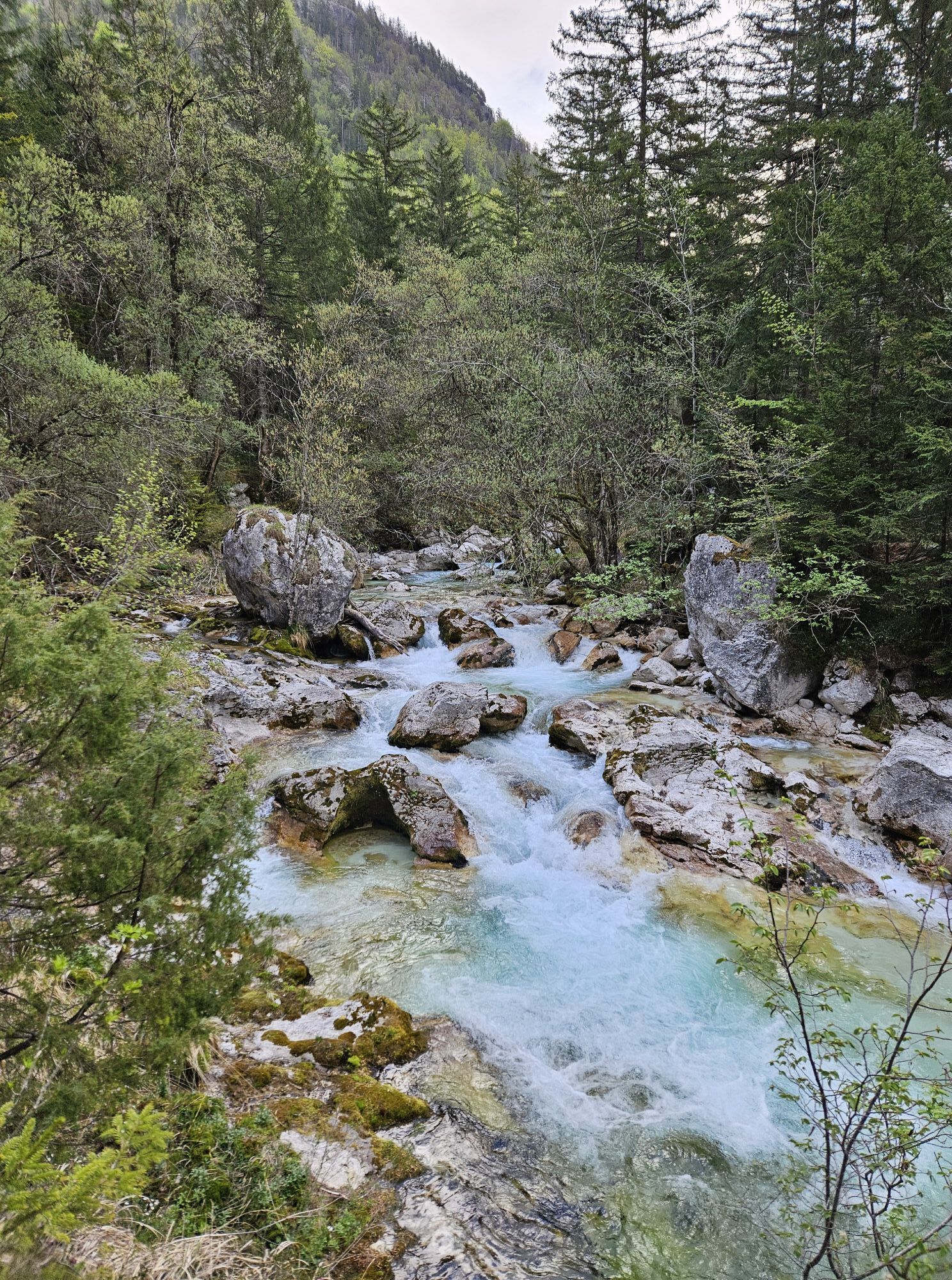
The trail then descends into the valley of Trenta with the spring of the SoÄa River, Slovenia’s most beautiful river. Through Zadnjica, the trail again ascends to Prehodavce (2,071 m) and into the Triglav Lakes Valley or the Valley of the Seven Lakes (1,685 m). The present Triglav National Park has its origins here. From Komna (1,520 m) and along the Krn Lakes (1,385 m), the trail ascends to Krn (2,244 m) which offers beautiful views. The trail continues along the northern slope of the Lower Bohinj Mountains from Vogel (1,922 m) to Ärna prst (1,844 m), below which a new mountain hut was built recently at the site of the former oldest Slovenian mountain hut, the Orožen hut. The trail continues to the Cerkljansko and Idrijsko Hills to Idrija (325 m), which once boasted the second largest mercury mine in the world.
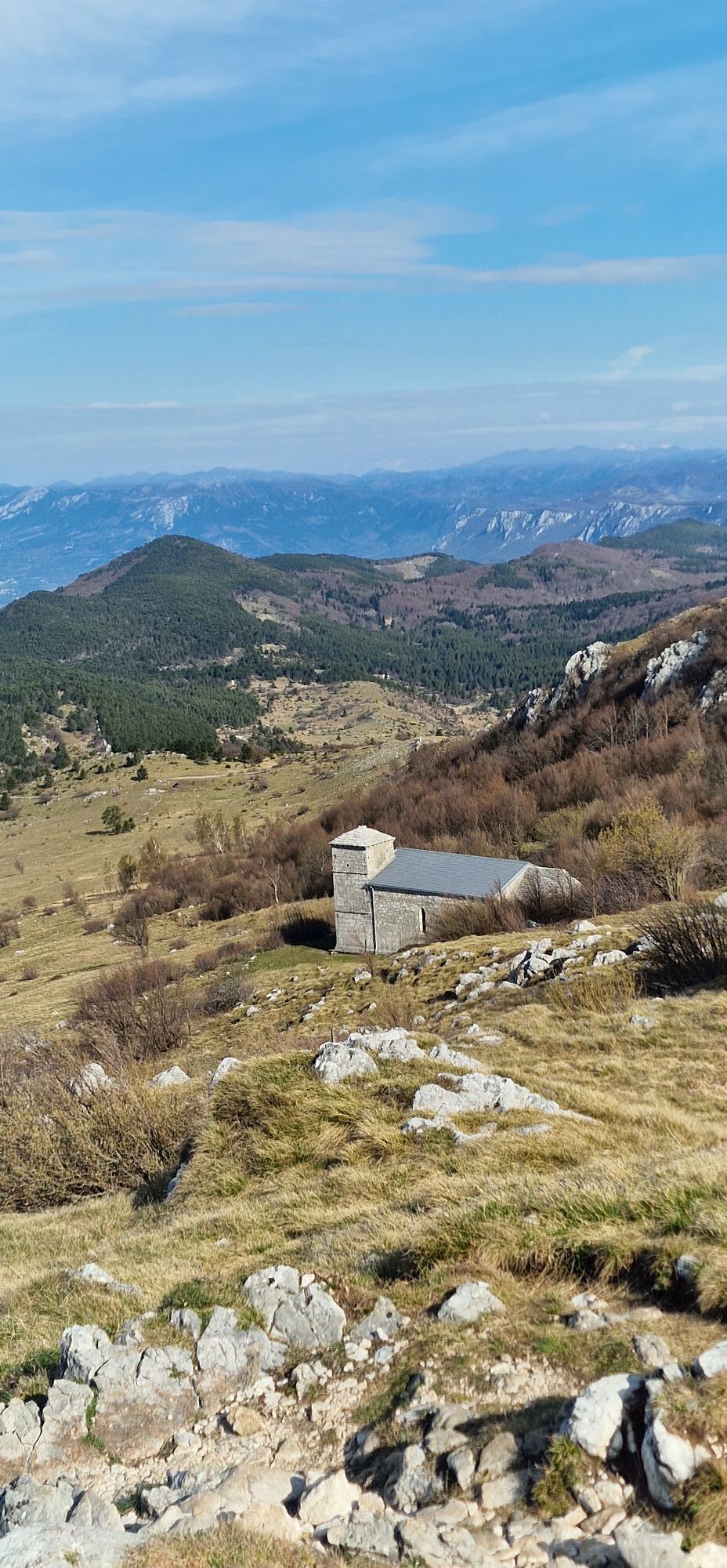
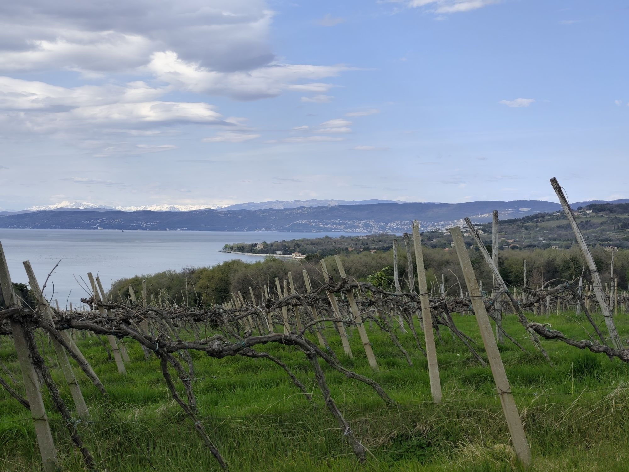
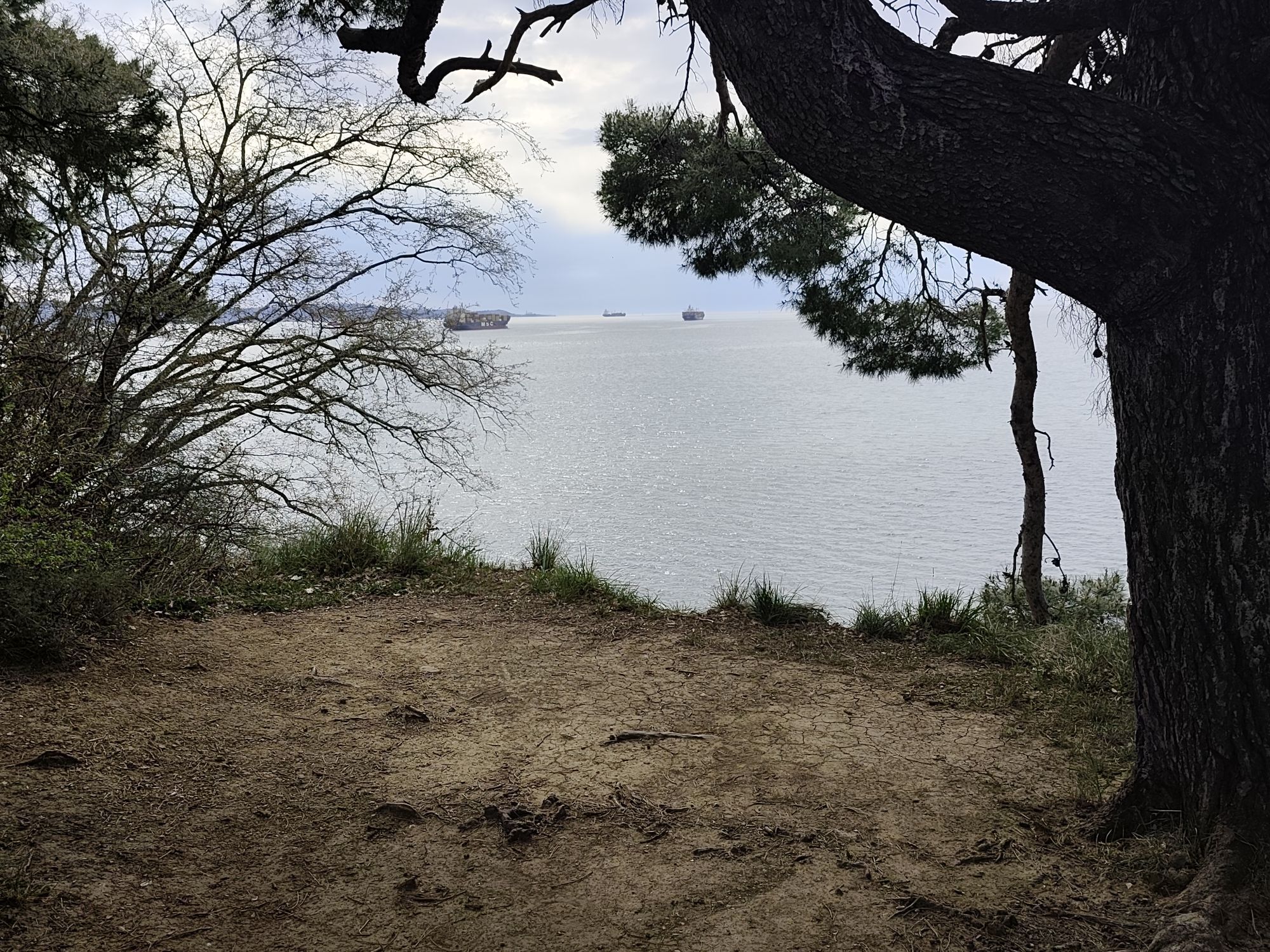
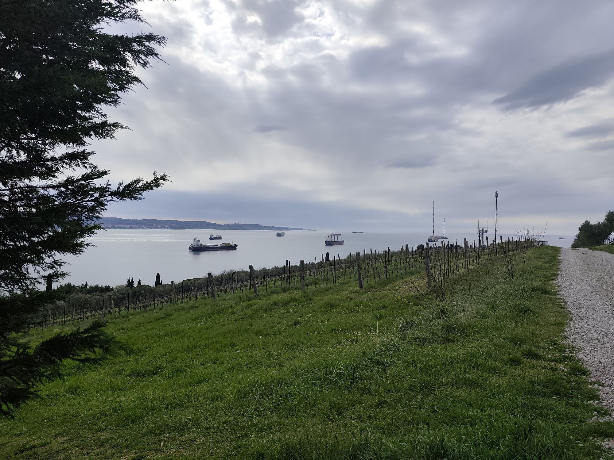
From Trnovski gozd and Javornik (1,240 m) further to Nanos (1,313 m) and via VremšÄica (1,027 m) to Slavnik (1,028 m), the last 1,000-metre mountain on the trail. It is not far now to the Adriatic Sea, where the Slovenian Mountain Trail ends in Ankaran (8 m).
Tak
Tak
Pair of quality hiking boost, rain jacket, map of the trail and of course, a trail dairy in which you will collect the stamps of completed stages. When finnishing you will recieve an honorary badge.
Sleeping bag is advised, for overnights in huts. GPS and a map of the area.
You will encounter different weather patterns, which means you will have to keep a close eye to the weather forecasts, especially in high mountains. The trail is on some parts technically and orientation wise demanding.
By car, by bus, by train or by plane (Ljubljana, Maribor, Celovec/Klagenfurt). From Ljubljana there is 1h15 to both Maribor and Ankaran. Both starting points are also close to the airports (Venice, Zagreb, Ljubljana, Trieste)
Maribor city bus, line 6 will take you to Pohorje, to the official starting point. There is also a bus connection to the finishing point at Debeli Rtič. There is also railway connection of this two points with Ljubljana. Visitor has also a chance to stop or start the trail on several points during the trail, where it comes to the villages or cities, that have public transport connections.
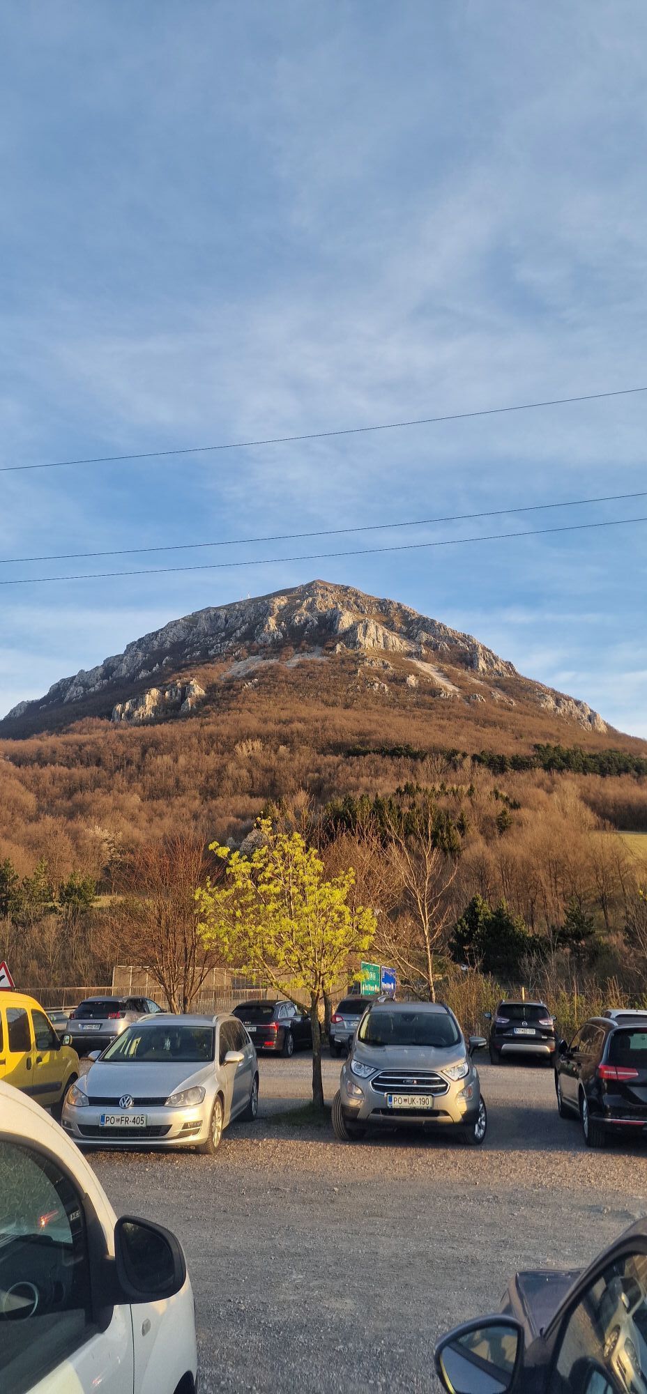
Parking at Pohorje cable car or at Tuš supermarket. Payable parking at Debeli Rtič. Numerous parking possibilities along the trail.
Check when huts are open, most of them are closed during the winter. In the months June , July and August, reservation in advance is highly recomended. Most of the huts do NOT allow pets in the living quarters.
You can get maps and hiking guides at Slovenian Alpine Association.
Its founder, Ivan Šumljak, advised hikers: “Walk slowly, my friend. In that way, you will experience much, much more.” You can make it week by week.
Kamery internetowe z trasy
Trikotna jasa (sp. postaja Poštela)
Krvavec - Sorica
Letališče Maribor
Letališče Maribor
Letališče Maribor
Letališče Maribor
Letališče Maribor
Letališče Maribor
Letališče Maribor
Letališče Maribor
Koper - Markovec
Koper - Markovec
Planja
Jurgovo
Vogel - Snow Park
Rogla - Uniorček I, II
Areh - pogled na vlečnico Ruška
Cojzerica - pogled proti zgornji postaji
Vogel - Orlova Glava und Triglav
Rogla - Planja - Košuta - Jasa
Rogla - Mašinžaga - Funpark
Rogla - Hotel Natura - Langlaufloipe
Pohorje - Čopova proga
Pohorje Maribor - Pisker
Vogel Slika
Pohorje Maribor - Sp. postaja Pisker
Logarska dolina
Logarska dolina
Sorica
Sorica
Podljubelj
Koča na planini Kuhinja
Kope - Kaštivnik
Klagenfurter Hütte
Klagenfurter Hütte
Gasthaus Bodenbauer im Bodental
Vojsko crosscountry
Vogel
Popularne wycieczki w okolicy
Forests and Views of Jelovica High-plateau
ciężkiMountainbike 37,6 kmCircular route to Jamnik
średniWędrówka 10,7 km- 5,0
Hidden Countryside of Radovljica
średniMountainbike 33,1 km Ratitovec
światłoWędrówka 5,06 kmCircular journey from Radovljica to Brezje
światłoWędrówka 16,7 kmBOHINJ I3B: Rovtarica - Goška Ravan - Radovljica
średniJazda na rowerze 25,4 km- 5,0
Blegoš
średniWędrówka 4,67 km The Lipnica Castle Trail
światłoWędrówka 9,36 kmSkofia Loka - Blegos-Tour mit Wanderung auf den Blegos
średniE-MTB 53,2 kmEna loška krožna
światłoWędrówka 14,3 km

Wędrówki i tropienie


Nie przegap ofert i inspiracji na następne wakacje
Twój adres e-mail została dodana do listy mailingowej.