


Sentiero Italia: Salbertrand - Bardonecchia
Poziom trudności: T2
The route, marked as a connector and extension of the Sentiero Italia, starts from the Gran Bosco Natural Park of Salbertrand headquarters and develops along an old mule track towards Oulx. Along the path,...
The route, marked as a connector and extension of the Sentiero Italia, starts from the Gran Bosco Natural Park of Salbertrand headquarters and develops along an old mule track towards Oulx. Along the path, there are some historical/cultural sites such as the Carbonaia and the Calcara, both part of the Colombano Romean Ecomuseum.
Continue through a coniferous forest with panoramic views of Lake Orfù.
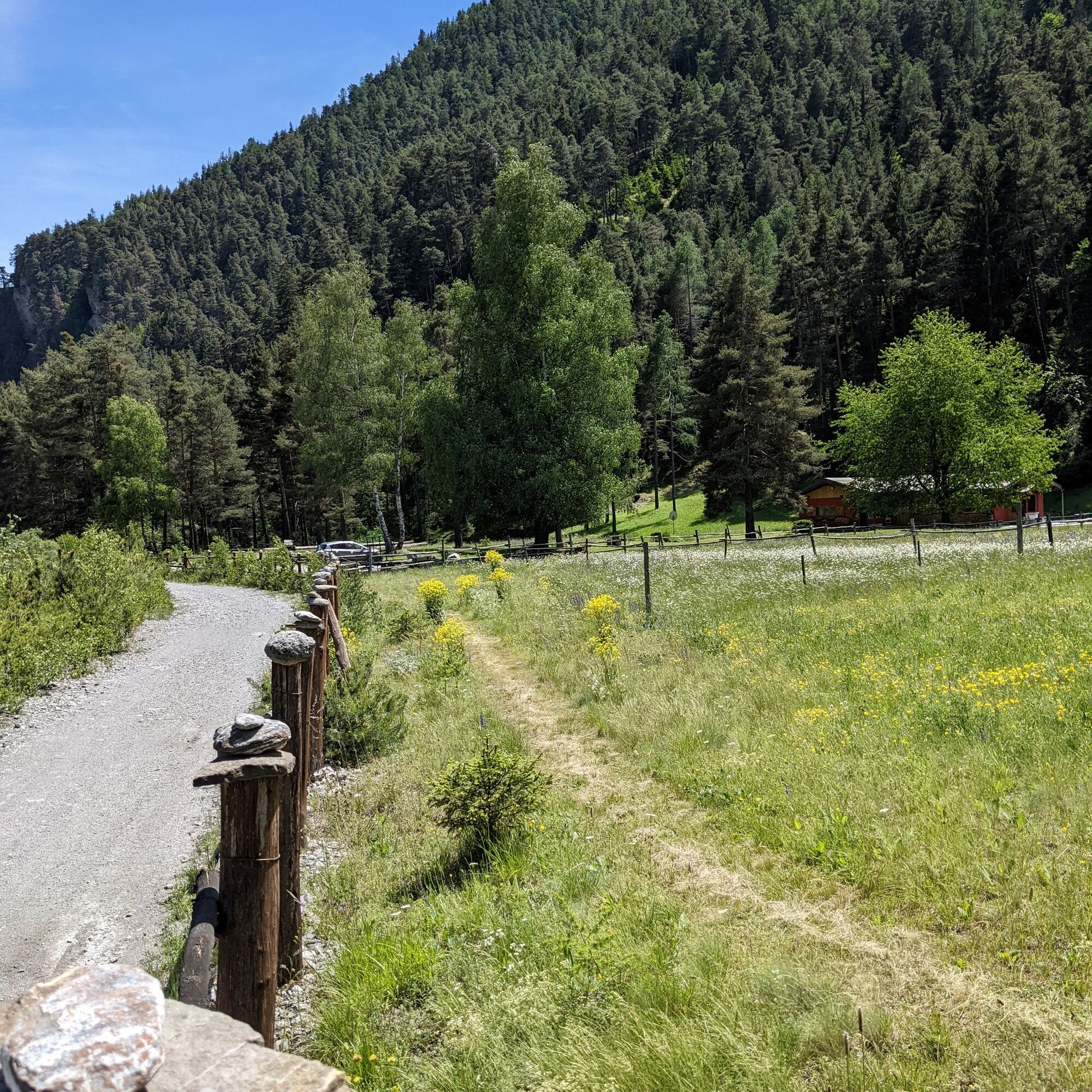
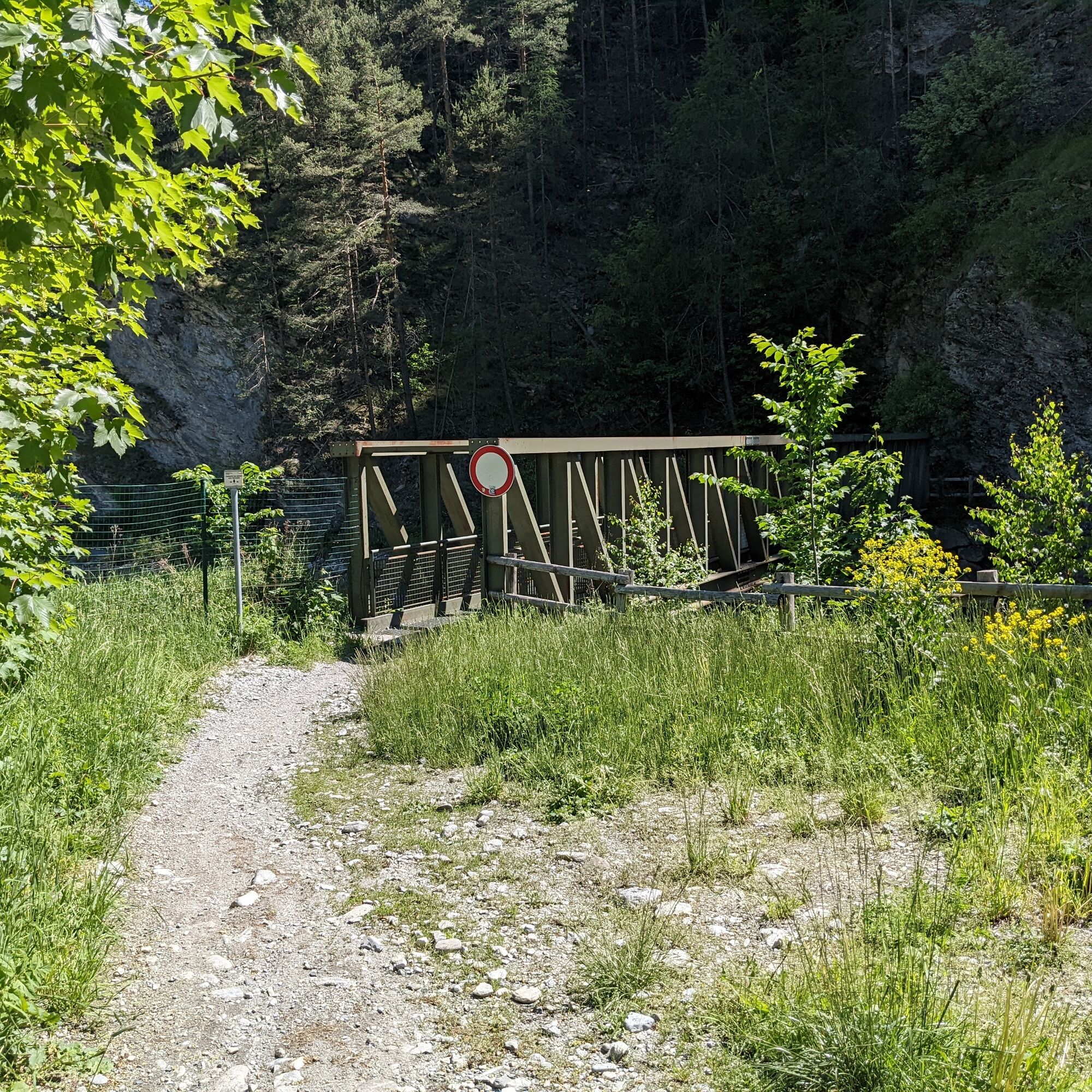
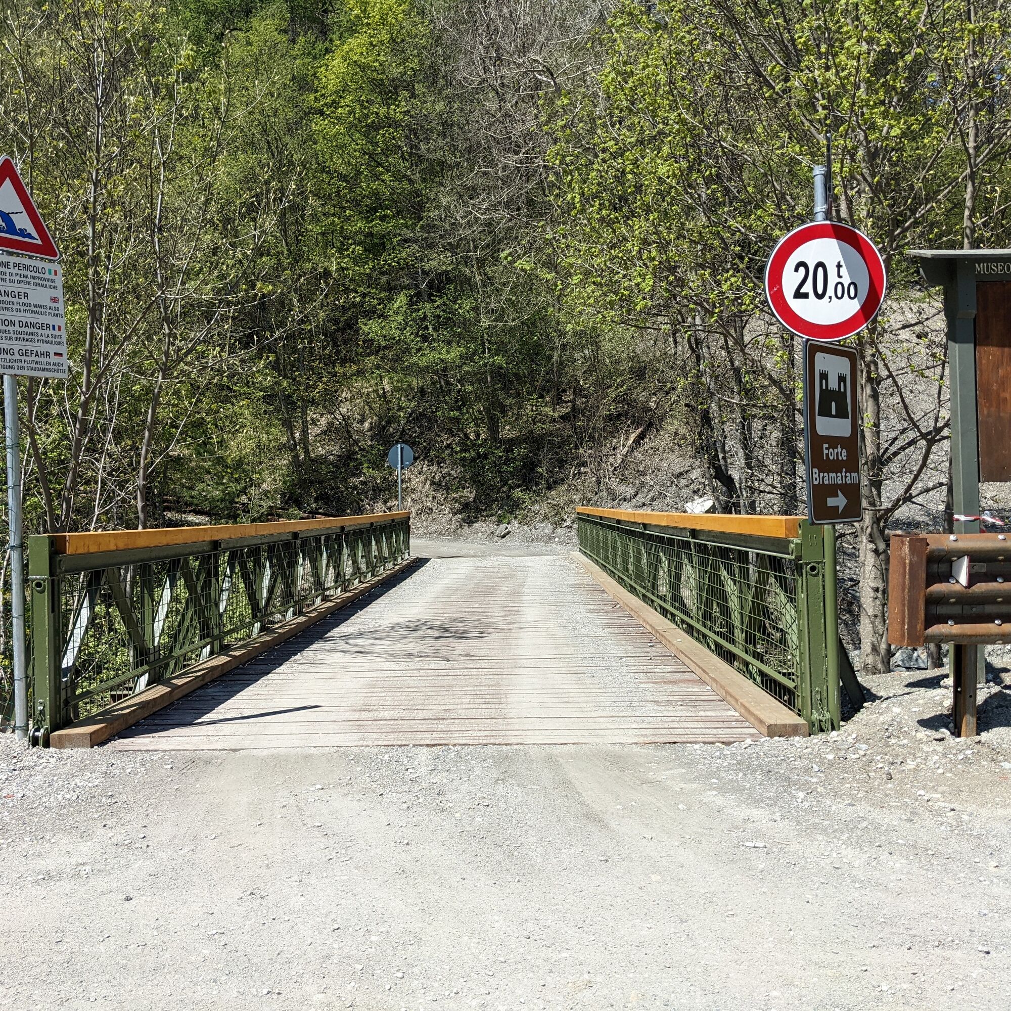
The walk continues towards the hamlet of Gad and, after a paved section, reaches Oulx and crosses it. Just outside the town, you encounter Lakes Verde and Smeraldo and continuing along a former cross-country ski track adjoining the Dora di Bardonecchia, you reach first Beaulard and then Rocca Tagliata. Here, a footbridge precedes the ascent towards Forte Bramafam, passing through forests rich in wildlife.
Upon reaching locality Quattro Strade, you can choose to continue climbing towards Pian del Sole or descend towards Fontana Giolitti or Campo Smith.
Support and description by Susanna Mozzatto - environmental hiking guide
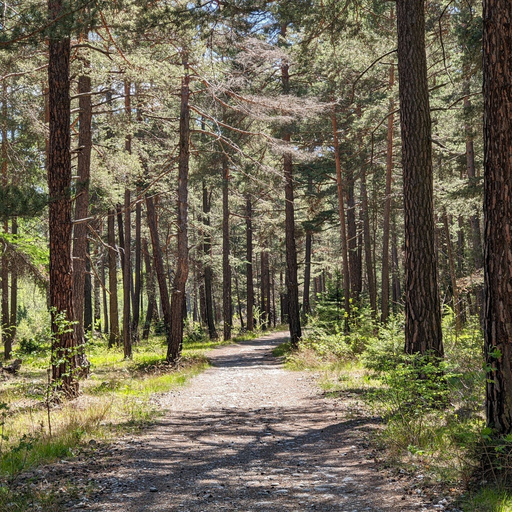


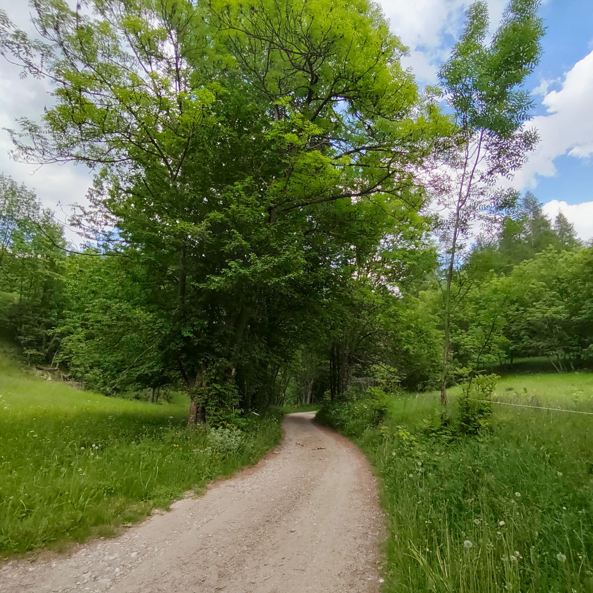

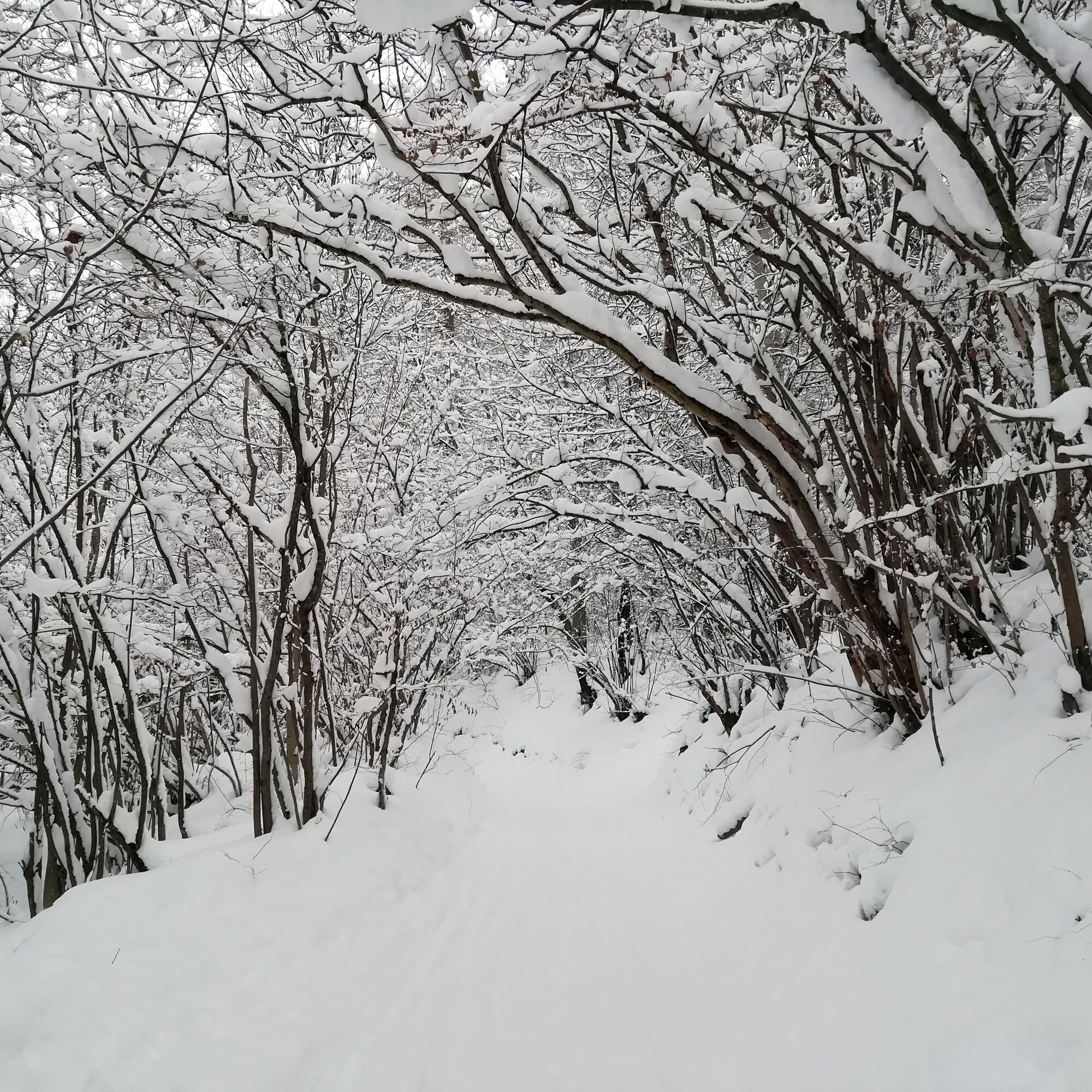
From the headquarters of the Gran Bosco Natural Park, take an old mule track on the left. Climbing up the dirt road, you enter a mixed forest of birch, larches, Scots pines, and Norway spruces. After passing another fountain and the bridge over the Rio Gorge, turn left until you reach the park entrance. Once at the wooden information board at the park entrance, continue along the carriageable dirt road to reach the equipped area of Pinea; however, our route continues to the right following signs for the "nature trail" and "polygon lake" (Lake Orfù is so named due to the presence of a military shooting range of the Taurinense Alpine Brigade). Continue along the path to a fork where there is a board dedicated to the Sentiero dei Franchi; here, instead of proceeding to the ice house, start ascending into the coniferous forest. The route climbs towards the municipality of Oulx, with the first stretch, about 300 meters, being quite steep, then it levels out with ups and downs until it becomes almost flat. Descending halfway through the pine forest, enjoy splendid panoramic views of Lake Orfù. After passing the fork, descend to a small bridge over the Rio Gran Comba; here the path continues along the river until reaching the hamlet of Gad, a small mountain village.
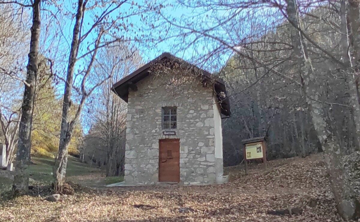
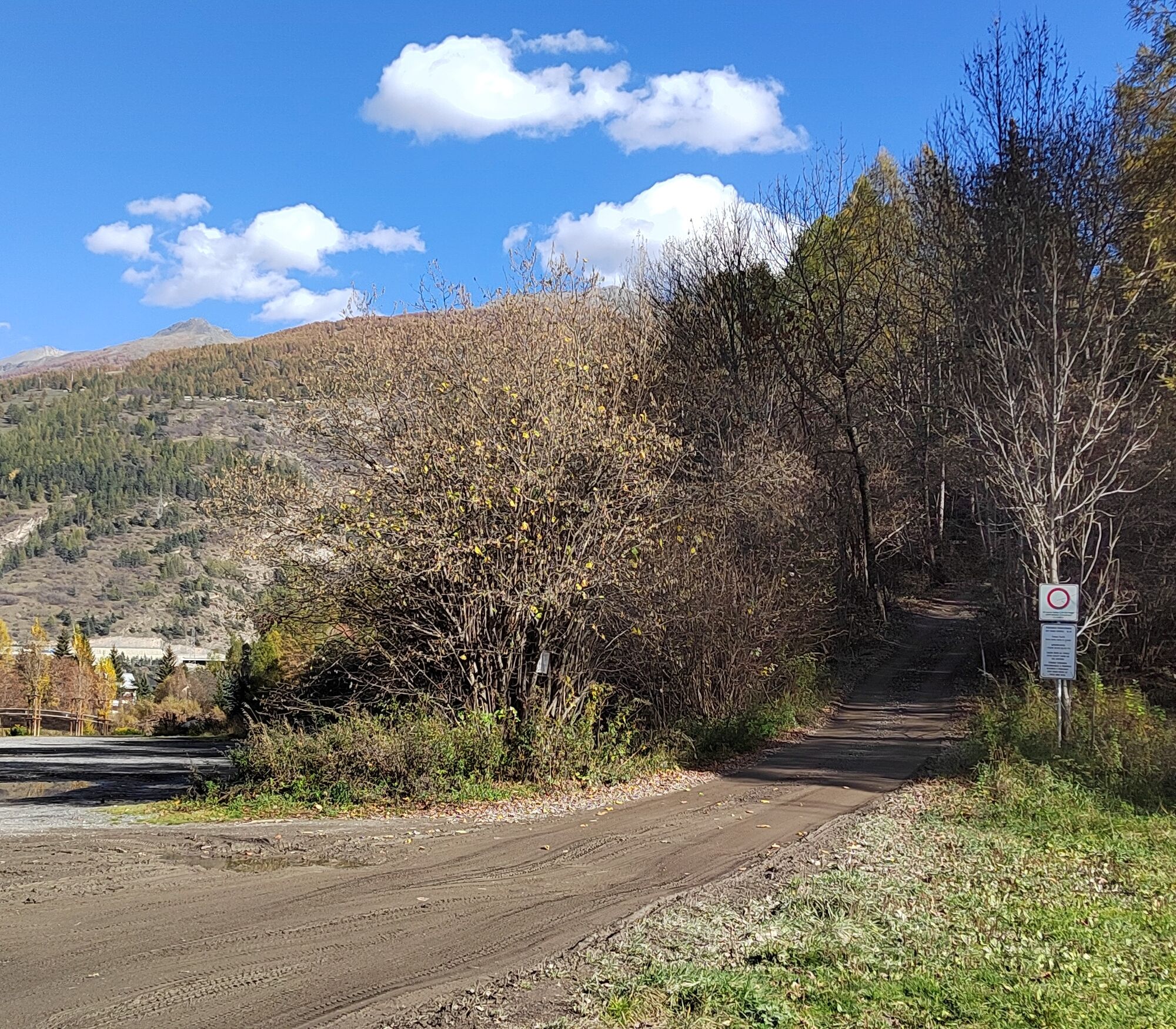
Crossing the hamlet of Gad on an asphalt road, follow Via Riccardo Ghiotti to quickly reach State Road 24, also called Corso Torino, a stretch coinciding with our route. Upon reaching the roundabout, turn left towards the town center of Oulx, pass the Le Baite shopping center, and reach the bridge over the Dora Riparia after just over 1 km. At the bridge, turn right and proceed along Corso Ortigara. After about 680 m, just before the railway, turn left onto Via Pellousiere; first, you'll encounter Lake Verde, then Lake Smeraldo, and soon the asphalt gives way to dirt road. Near the highway, pass under the interchange and take the former cross-country ski track Oulx - Beaulard. This is a flat dirt path that runs alongside the Dora di Bardonecchia and partly next to the highway. Shortly after an initial barrier, you find the Chapel of Madonna della Neve; continue through the forest and after about 4.3 km reach Beaulard. After passing the campsite and playground, take Viale Pineta to quickly reach the railway level crossing, then turn left onto Via del Mulino. After passing the Al Vecchio Mulino restaurant, the forest thins, giving way to large meadows. Continuing through the pine forest and alongside the river, with gentle ups and downs, after about 4 km you reach a green iron footbridge near the locality Rocca Tagliata. Here, after crossing the bridge on the left, take the military dirt road built in 1890 to reach Forte Bramafam. The path winds through many switchbacks, passes the houses of Bersac at 1318 m elevation, the chapel dedicated to Saints Chiara and Francesco, until after about 2 km you arrive at a plateau where the dirt road forks; taking right, Forte Bramafam is reached in a few minutes; our route continues to the left. Passing the ruins of some ancient houses, a fountain, and the Chapel of Sant'Anna, a short flat stretch leads to the locality Quattro Strade. Our route continues straight towards Campo Smith, reachable in about ten minutes after a steep descent. Here you will also find a small group of houses in the locality Vivier, where there is also a fountain.
Appropriate clothing for mountain environments and the season is recommended.
A small part of the route runs on asphalt roads with motor vehicle traffic. It is therefore recommended to pay special attention during the journey.
By car:
- State Road 24: Turin - Salbertrand
Upon arrival in Salbertrand, head towards the headquarters of the Gran Bosco Natural Park of Salbertrand.
or
- State Road 24: Turin - Oulx and then State Road 335: Oulx - Bardonecchia
Upon arrival in Bardonecchia, head towards Campo Smith.
On foot:
- via the route called "Sentiero Italia" or "GTA"
By train:
- Turin Porta Nuova - Bardonecchia line with stops at Salbertrand, Oulx, or Bardonecchia
Parking is available near the park headquarters in Salbertrand.
Parking is available near the railway station in Oulx.
Several parking lots are available near Campo Smith in Bardonecchia.
T2
The itinerary can be traveled even partially; the train from Turin stops at the stations Salbertrand, Oulx, Beaulard, and Bardonecchia.
Kamery internetowe z trasy
Popularne wycieczki w okolicy
-
5,0
BARDONECCHIA Colle Sommeiller
średniMountainbike 25,4 km -
5,0
BARDONECCHIA Decauville
średniWędrówka 7,29 km -
5,0
BARDONECCHIA Green Lake
światłoWędrówka 2,14 km -
5,0
BARDONECCHIA Col des Acles - Passo della Mulattiera
średniWędrówka 6,23 km -
5,0
BARDONECCHIA Forte Jafferau Loop
ciężkiMountainbike 36,8 km -
5,0
CESANA T.SE Cesana - Fenils
światłoWędrówka 4,60 km -
BARDONECCHIA Loop Punta Colomion - Passo della Mulattiera - Pian del Colle
ciężkiMountainbike 25,1 km -
BARDONECCHIA Punta Quattro Sorelle
ciężkiWędrówka 8,69 km -
4,5
BARDONECCHIA Pian del Colle - Valle Stretta
średniRakieta do chodzenia po śniegu 5,02 km -
BARDONECCHIA Lago Verde
światłoMountainbike 10,7 km
Wędrówki i tropienie


Nie przegap ofert i inspiracji na następne wakacje
Twój adres e-mail została dodana do listy mailingowej.