







COLLE DEL LYS Alpine Loop
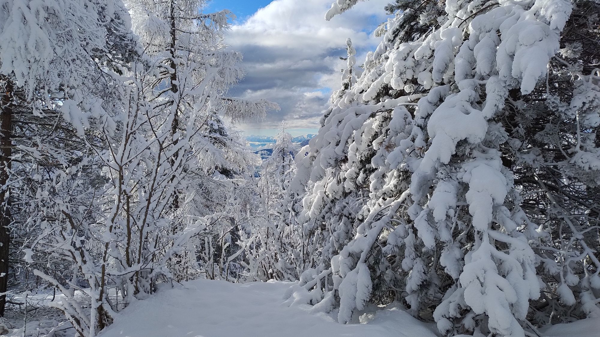
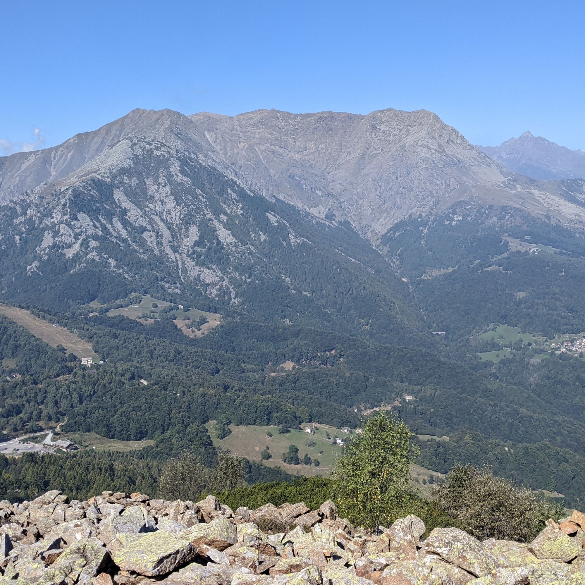
Arpone is an isolated and very panoramic summit at the intersection of three valleys; it has quite a rocky profile due to the special nature of its rocks, which are part of the Lanzo Ultrabasique Massif,...
Arpone is an isolated and very panoramic summit at the intersection of three valleys; it has quite a rocky profile due to the special nature of its rocks, which are part of the Lanzo Ultrabasique Massif, with outcrops of peridotites, rocks formed deep in the Earth's mantle and which emerged almost intact during the formation of the Alps and today appear as large scree slopes that seem to have flowed down from the mountain.
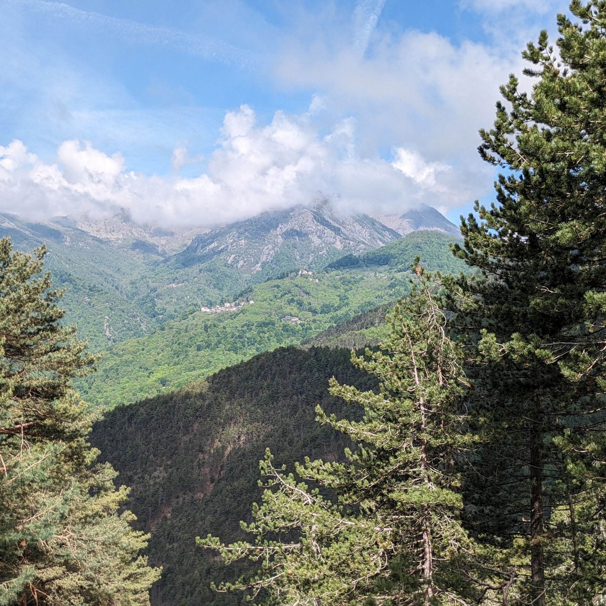
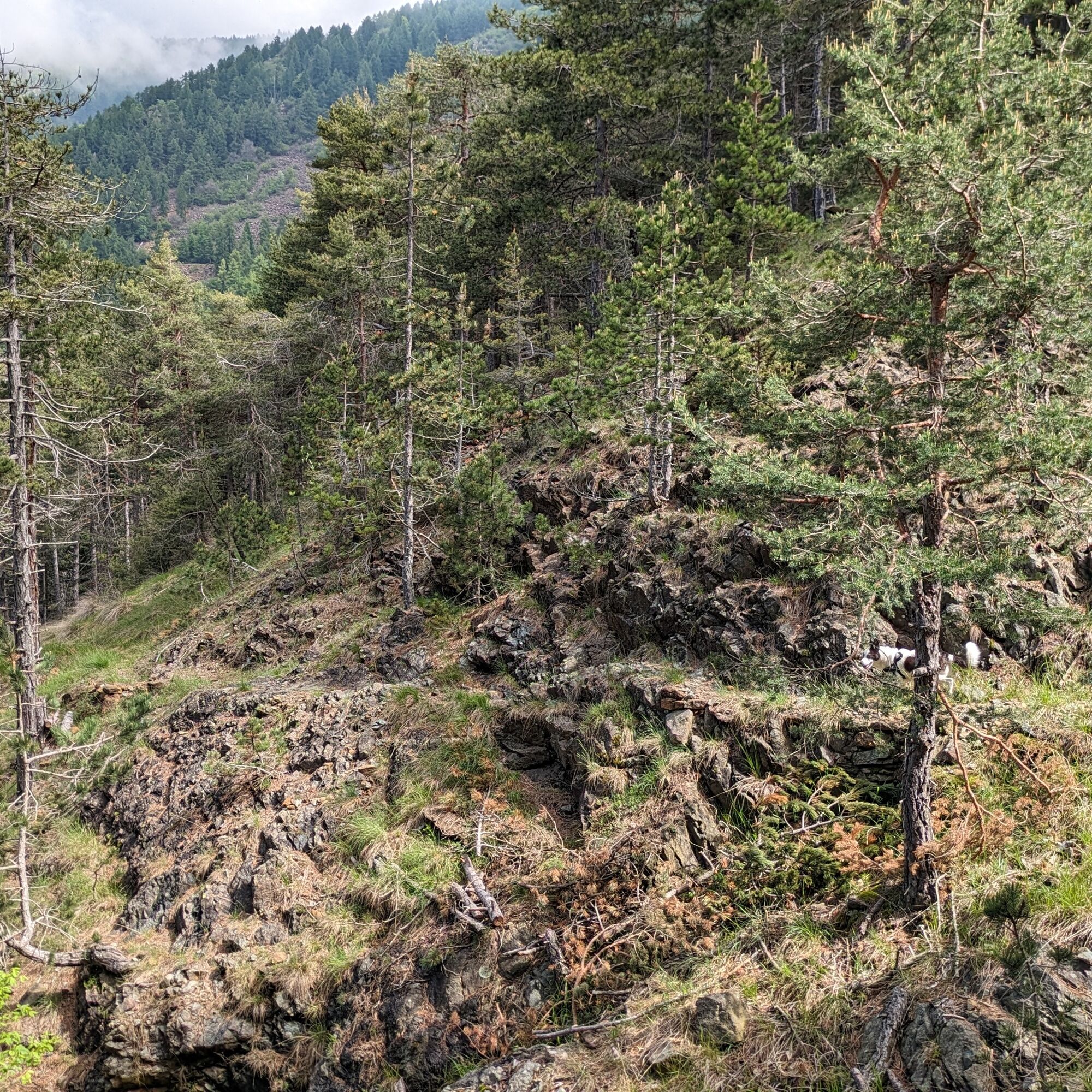
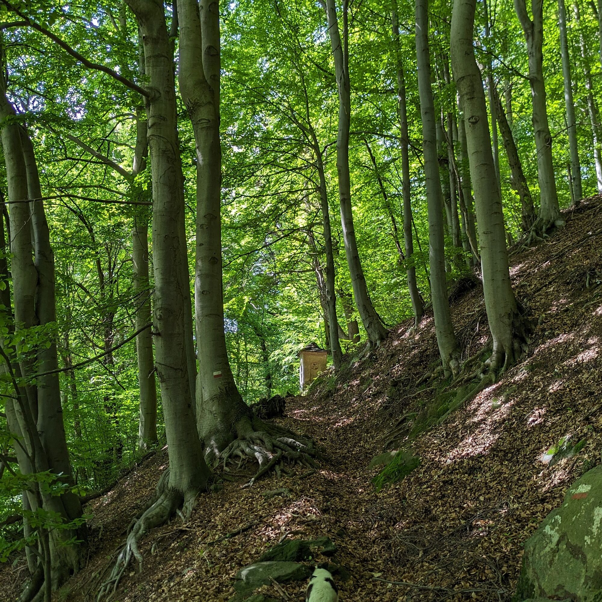
The route crosses a large part of the Colle del Lys Natural Park, where the forest is reclaiming its ancient spaces.
On the Rubiana side, the "Sentiero degli Alpini" is a pleasant path without significant climbs. The return is through Val di Viù from Mompellato and the small hamlet of Suppo.
It is an itinerary without technical difficulties, panoramic both towards the Lanzo Valleys and towards the Susa Valley.

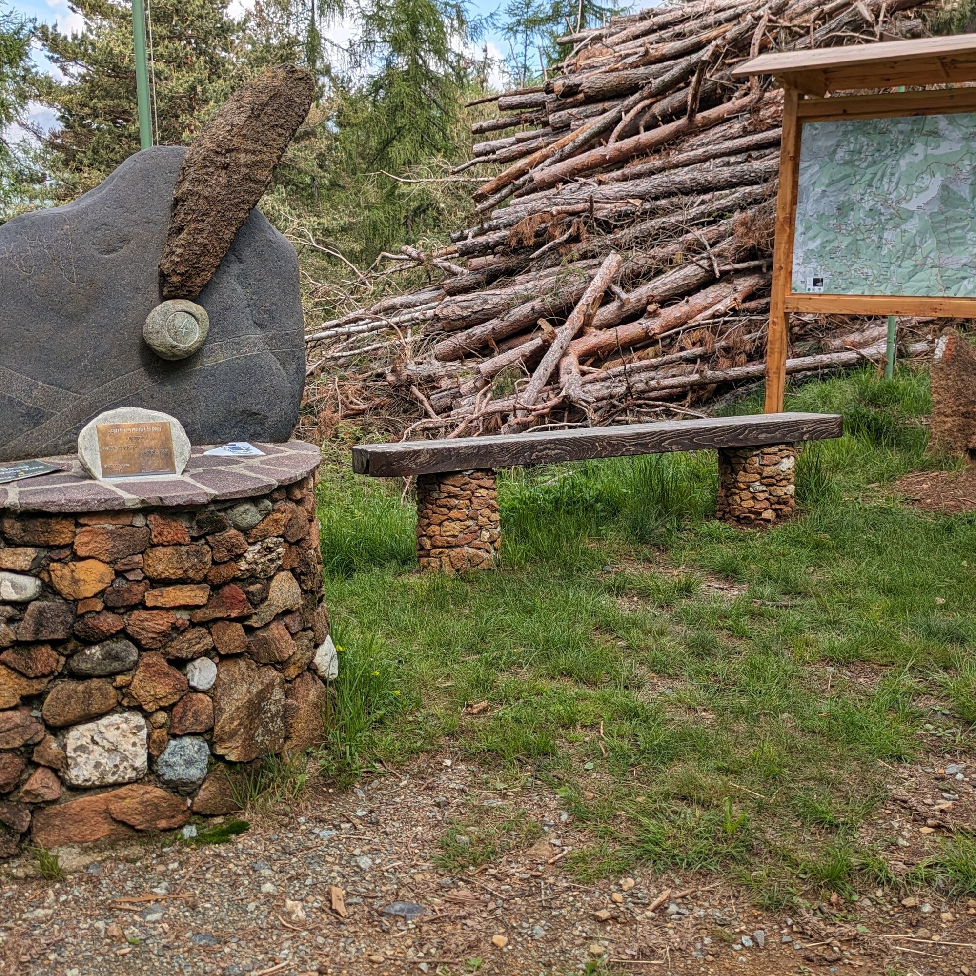
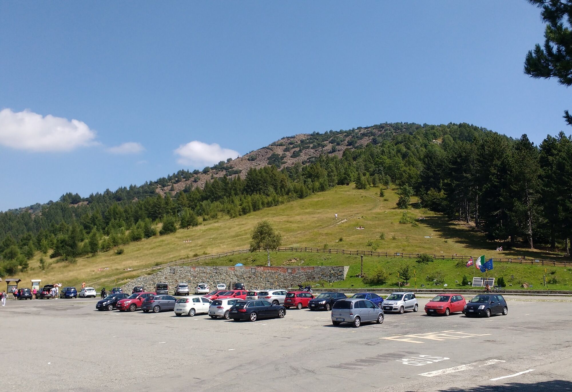
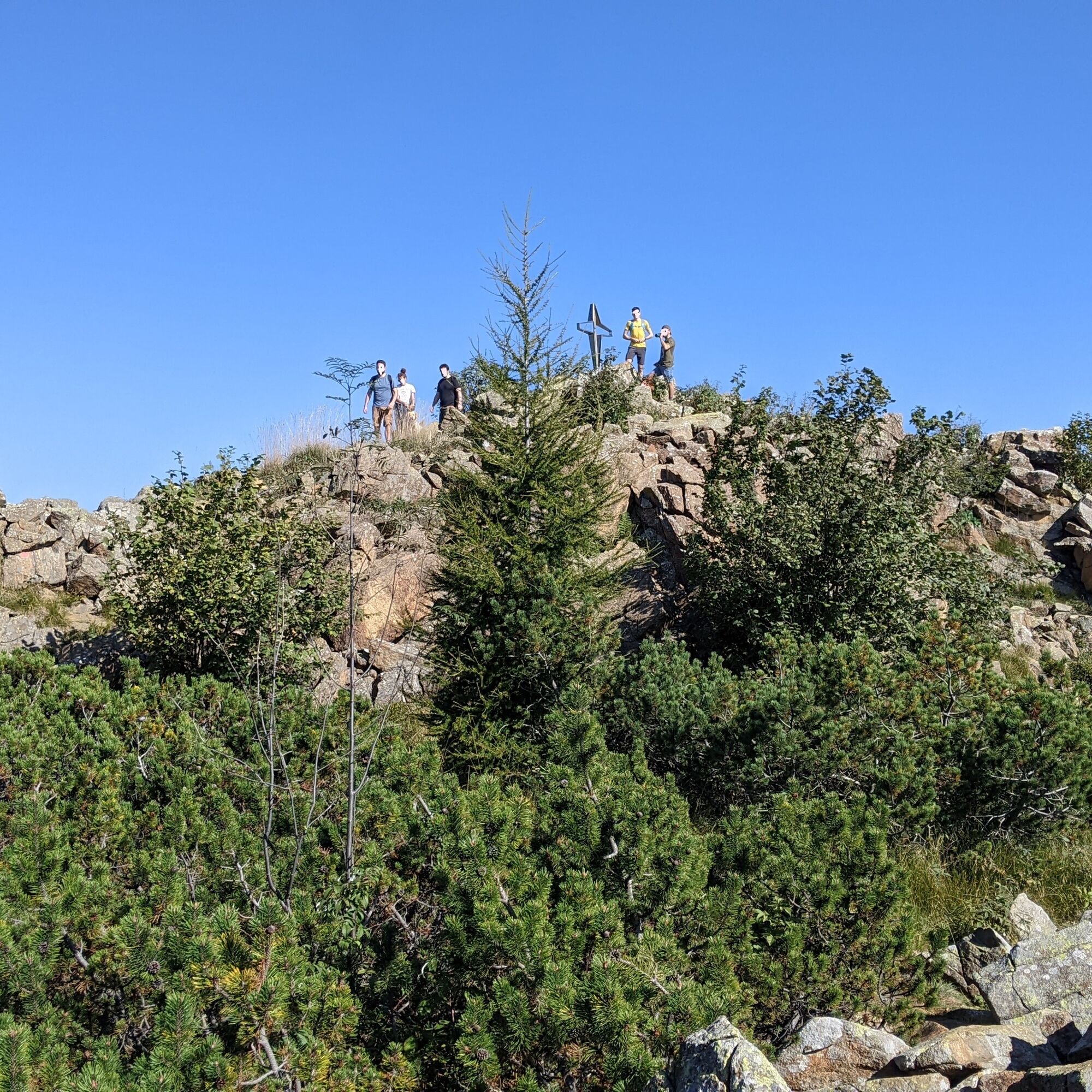
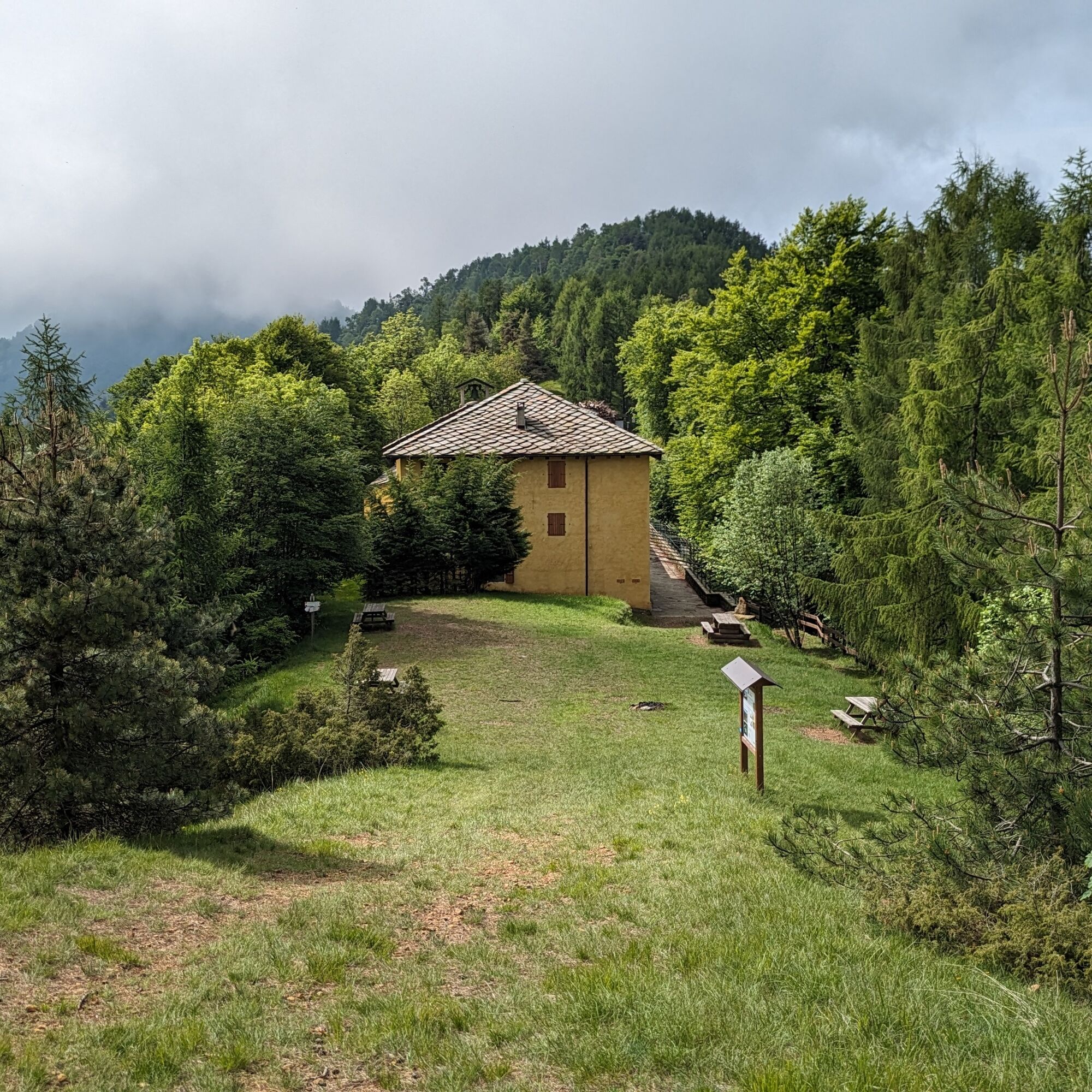
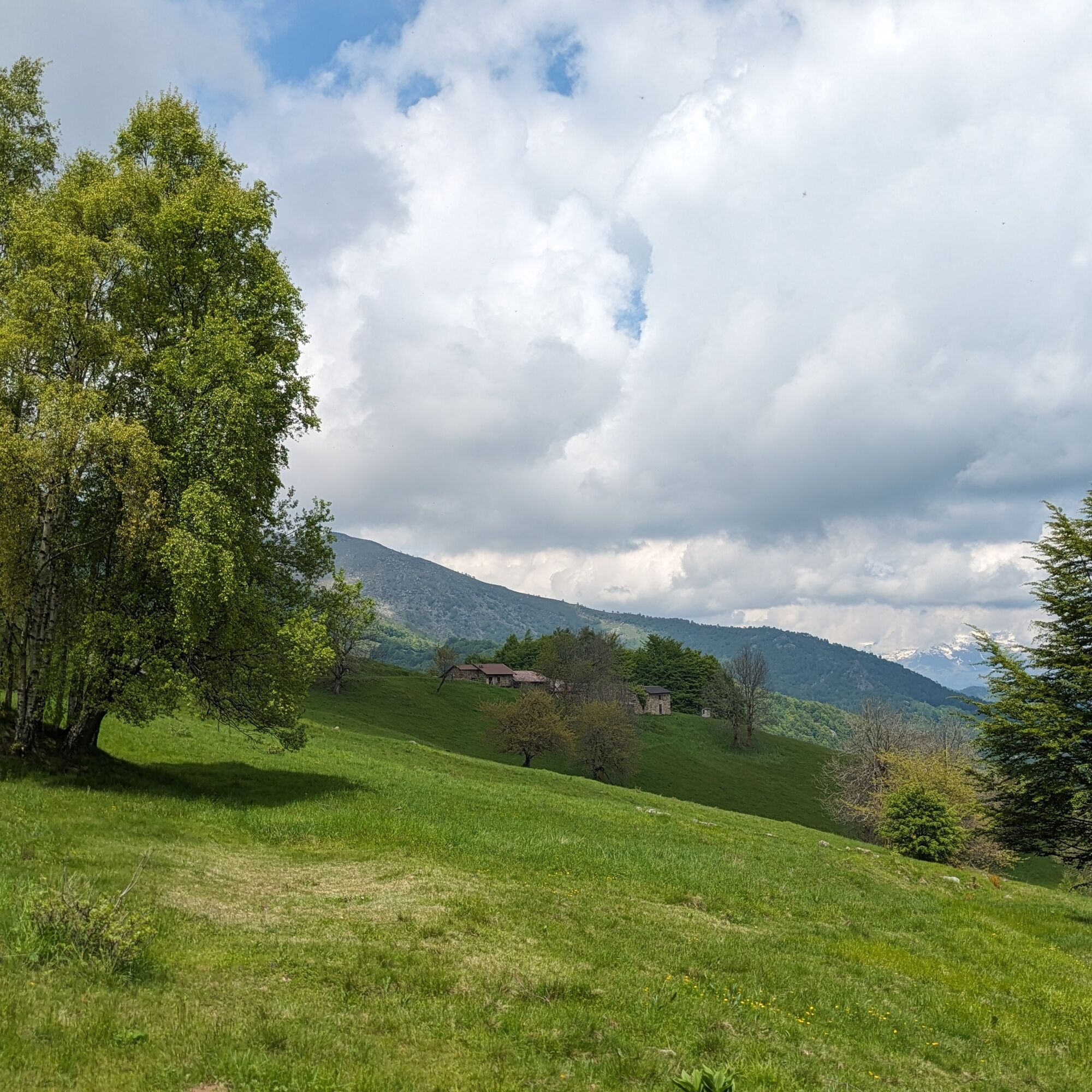

Go to the end of the square at the Colle del Lys where some notice boards are located. Then go right onto the long meadow aiming for another park notice board. From that point the path becomes more obvious: follow it until it levels out. To reach the actual summit of Monte Arpone, turn left and in about 5 minutes you will reach the summit.
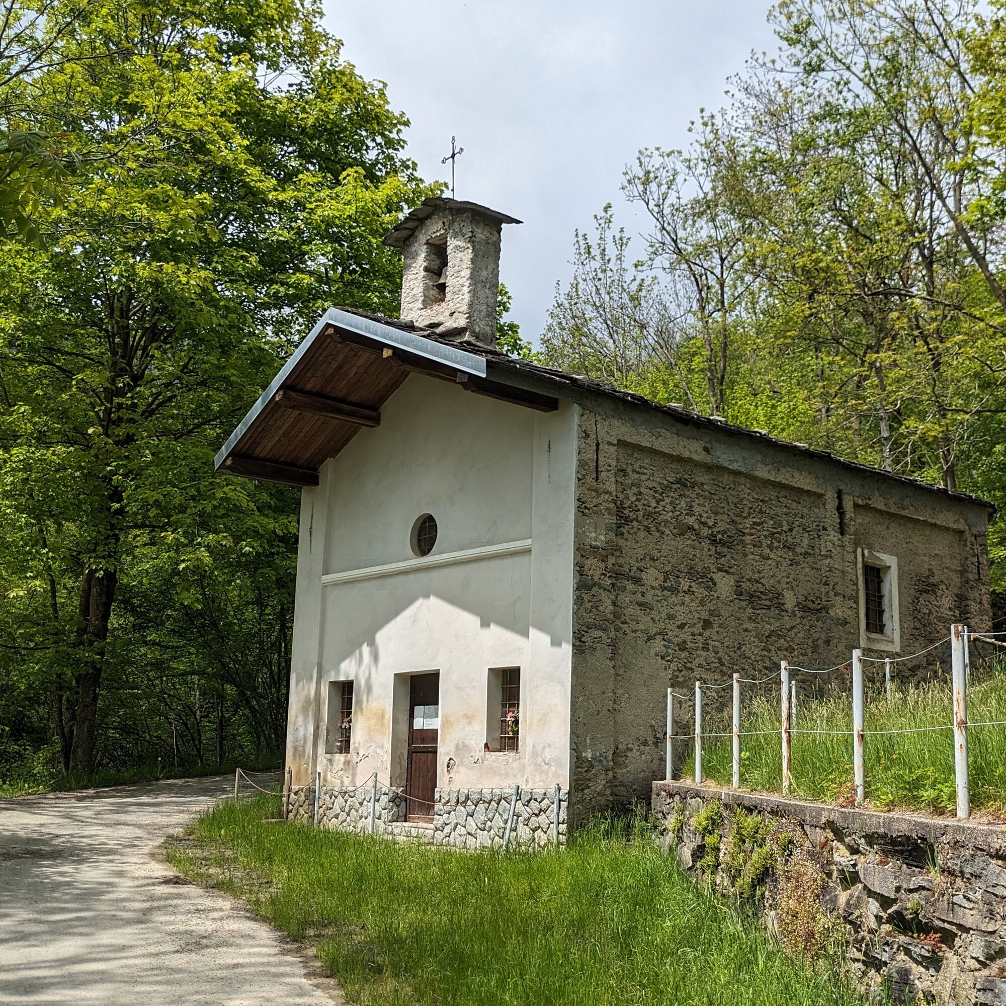
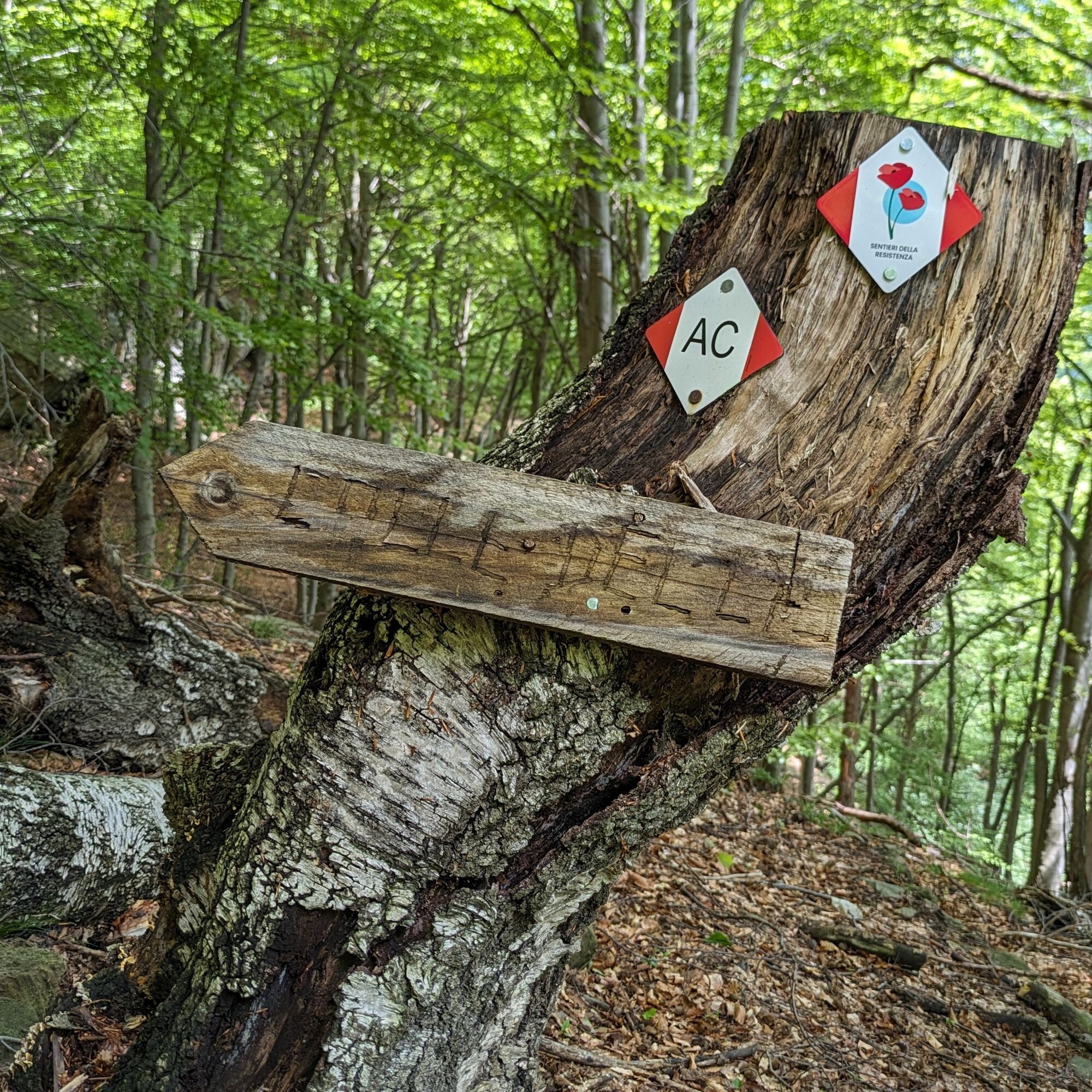
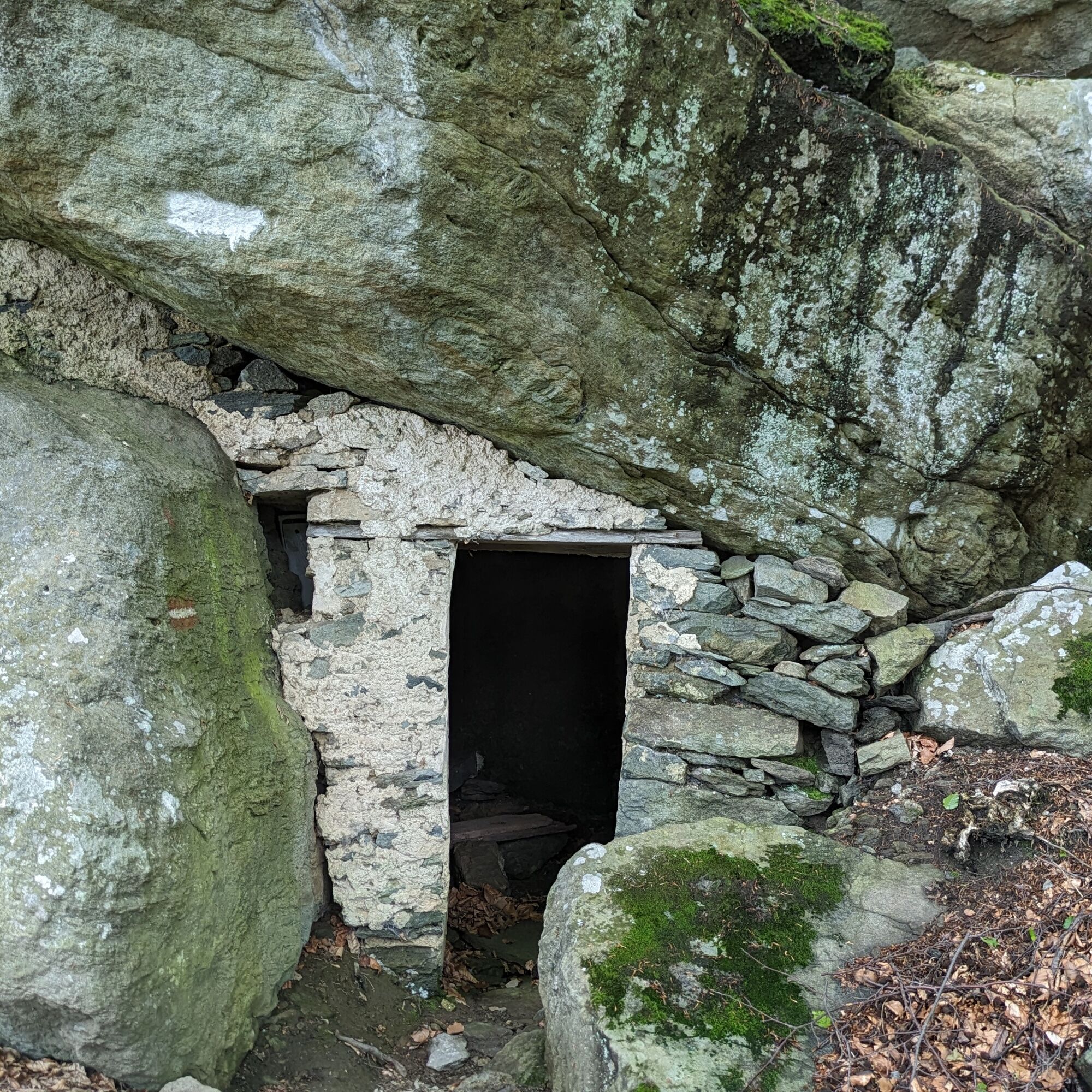
Then return to the previous fork and continue straight ahead on a slight descent. The path then becomes steeper, always staying on the ridge you skip the fork on the right for Colle del Lys and reach the Madonna della Bassa Sanctuary. Pass it and take the forest road that starts shortly beyond and leads to a fork, near which is a monument shaped like an Alpine hat made of stones. Then turn right along the Alpine path which leads to the hamlets of Acquarossa and Bertolo. Continuing on, you reach near Mompellato: here you can choose whether to enter the hamlet or pass just below it avoiding a stretch of provincial road.
You then come out on the provincial road which you cross to take the small road leading to Suppo where a path starts in the woods that leads to the Frai Pass. From the pass, follow the dirt road to the right until the square in front of the Gaute la Nata restaurant. On the opposite side starts another wide path that arrives back at the Colle del Lys.
Tak
It is recommended to wear footwear with non-slip soles, wind/rain protection, a warm layer, supplies of water and food, first aid kit, hat and sunglasses.
Refreshment points and water around the square at the pass. Bakery and fountain in Mompellato. Water also available in Suppo.
In case of rain, the stony sections can be slippery.
From the Susa valley. Arrive at Almese (the Avigliana Ovest exit off the Turin-Bardonecchia highway is convenient) and follow provincial road 197 to Colle del Lys;
From the Lanzo valleys. Arrive at Viù, pass the town center and in the Fucine hamlet turn left crossing the bridge over the Stura di Viù. Then follow provincial road 197 to Colle del Lys.
In the summer season a GTT bus runs from the Fermi metro station in Collegno and stops directly in the square at the pass. Info on the GTT page
In the square at the Colle del Lys
For tourist information on the valleys: Lanzo Valleys Tourist Operators Consortium - www.turismovallidilanzo.it.
Before undertaking any hike it is advisable to consult weather reports or ask for information at local Tourism Offices.
It is good practice not to hike alone and always inform someone of your destination.
Do not litter but carry your waste with you, also picking up any left by others.
The travel times indicated are approximate and may vary depending on weather conditions and individual abilities.
On summer Sundays visit the Resistance ecomuseum and Colle del Lys Natural Park Visitor Center located opposite the parking area.
Popularne wycieczki w okolicy
-
4,7
On the summit of the magical Musiné
światłoWędrówka 6,94 km -
Avigliana Lakes - Easy route, ideal for families with children
światłoWędrówka 9,25 km -
CASELETTE - The Musiné loop
średniWędrówka 7,52 km -
COLLE DEL LYS Partisan Trail
średniWędrówka 11,6 km -
MONASTEROLO Ca' Bianca and Big Bench
światłoWędrówka 4,13 km -
5,0
LEMIE Ovarda Lakes loop
ciężkiWędrówka 15,9 km -
VALLO TORINESE Passo della Croce and the Turu
średniWędrówka 4,29 km -
GIVOLETTO Madonna della Neve on Monte Lera
średniWędrówka 6,11 km -
5,0
Unspoiled woods and ancient hamlets in Valsangone - Selvaggio Loop - Bagaggera
światłoWędrówka 9,08 km -
VARISELLA The ruins of the Baratonia castle, churches, and pools of Varisella
średniWędrówka 10,1 km
Wędrówki i tropienie


Nie przegap ofert i inspiracji na następne wakacje
Twój adres e-mail została dodana do listy mailingowej.





