







From the Po to Monferrato

The proposed itinerary is full of symbols of local devotion and country churches. Most of the dirt roads it travels testify to the intensity of travel on foot up until a century ago, and the itinerary...
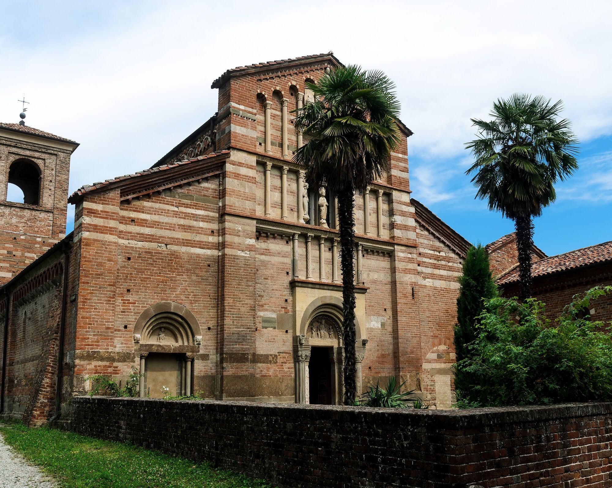
The proposed itinerary is full of symbols of local devotion and country churches. Most of the dirt roads it travels testify to the intensity of travel on foot up until a century ago, and the itinerary intends to re-propose the travel routes between the various valleys, in the presence of well-known and less well-known places of worship since the Middle Ages (San Genesio, Santa Maria di Vezzolano, S. Siro). These are historical routes that have been used for the movement of people, for commercial traffic and, locally, for agricultural and forestry activities. There is no written documentation, or historical testimony, which attests that there were no transit restrictions, property interruptions, fences or similar along these streets. However, the presence of itineraries for trade and pilgrimages to places of worship such as San Genesio and Santa Maria di Vezzolano is documented.



Popularne wycieczki w okolicy
-
CHIERI - Among vineyards, hills and history toward the Abbey of Vezzolano.
średniDroga rowerowa 58,6 km -
CHIERI - Ring toward Pavarolo, Montaldo T.se and Andezeno
średniJazda na rowerze 32,9 km -
CASALBORGONE - Bosc Grand and Bosco del Vaj by MTB
średniMountainbike 22,6 km -
CHIERI - Loop towards Riva presso Chieri
Jazda na rowerze 32,5 km -
TURIN - Double loop with 3 adrenaline-pumping MTB descents
ciężkiMountainbike 25,9 km -
Cycling between Arignano, Moriondo and Mombello
średniKolarstwo długodystansowe 28,1 km -
TURIN - MTB loop up to Superga
średniMountainbike 16,6 km -
Cycle hiking ride between Montaldo, Andezeno and Pavarolo
średniMountainbike 21,2 km -
Montiglio Monferrato - Parish church of San Lorenzo
średniWędrówka 10,7 km -
CHIVASSO Loop Chivasso - San Giorgio Canavese
średniKolarstwo długodystansowe 53,2 km

Wędrówki i tropienie


Nie przegap ofert i inspiracji na następne wakacje
Twój adres e-mail została dodana do listy mailingowej.





